


The route of beautiful views of Istria (P4)
Varied terrain of Slovenian Istria, pristine nature, magnificent views from the long Kuk-LaÄna ridge to the Karst edge, the interior of Istria, and the Koper Bay.

From the parking lot, head to the crossroads with the chapel, then right along the road to Dol, which lies at the end of the valley behind a huge railway embankment.
At the fork in the middle of the village Dol (signpost for Zanigrad), turn right behind the houses uphill, leave the asphalt, and head southeast towards the valley’s end along a dirt road that moderately climbs and crosses the railway.
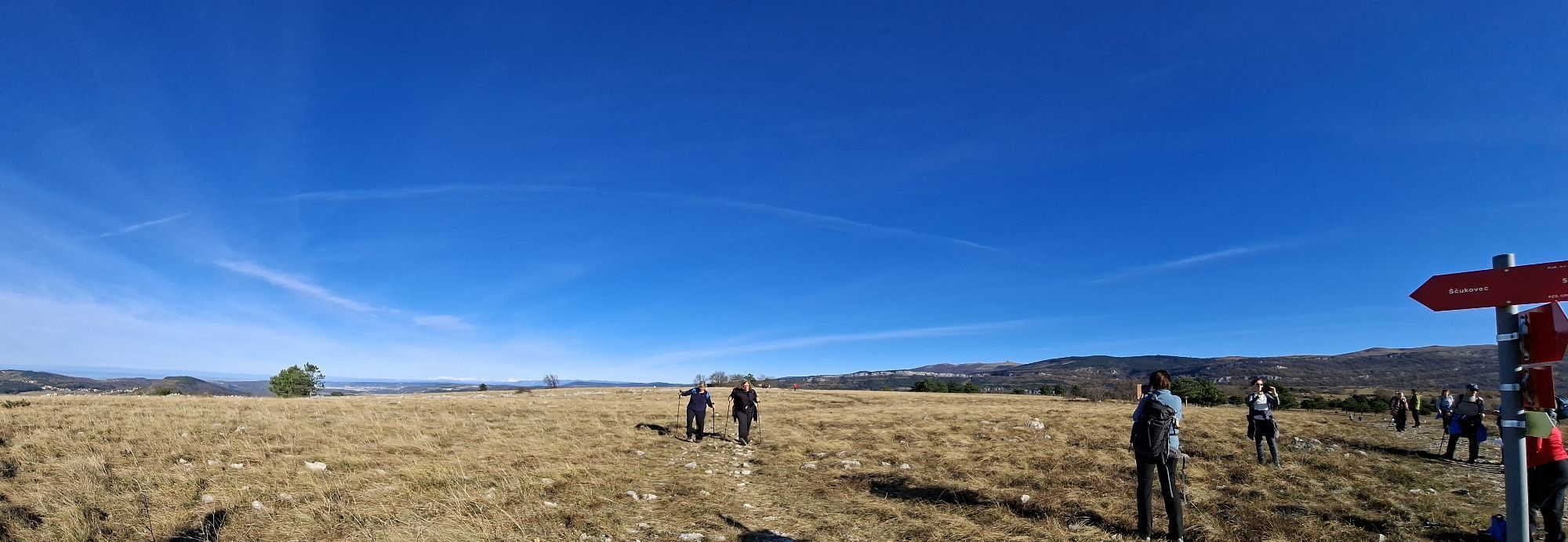
Above, a path joins from the left from Zazid, but we continue straight and ascend through several longer turns to the grassy plateaus of Kuk above Movraž. A magnificent panoramic view opens in all directions, offering the most beautiful part of the route along the scenic ridge.
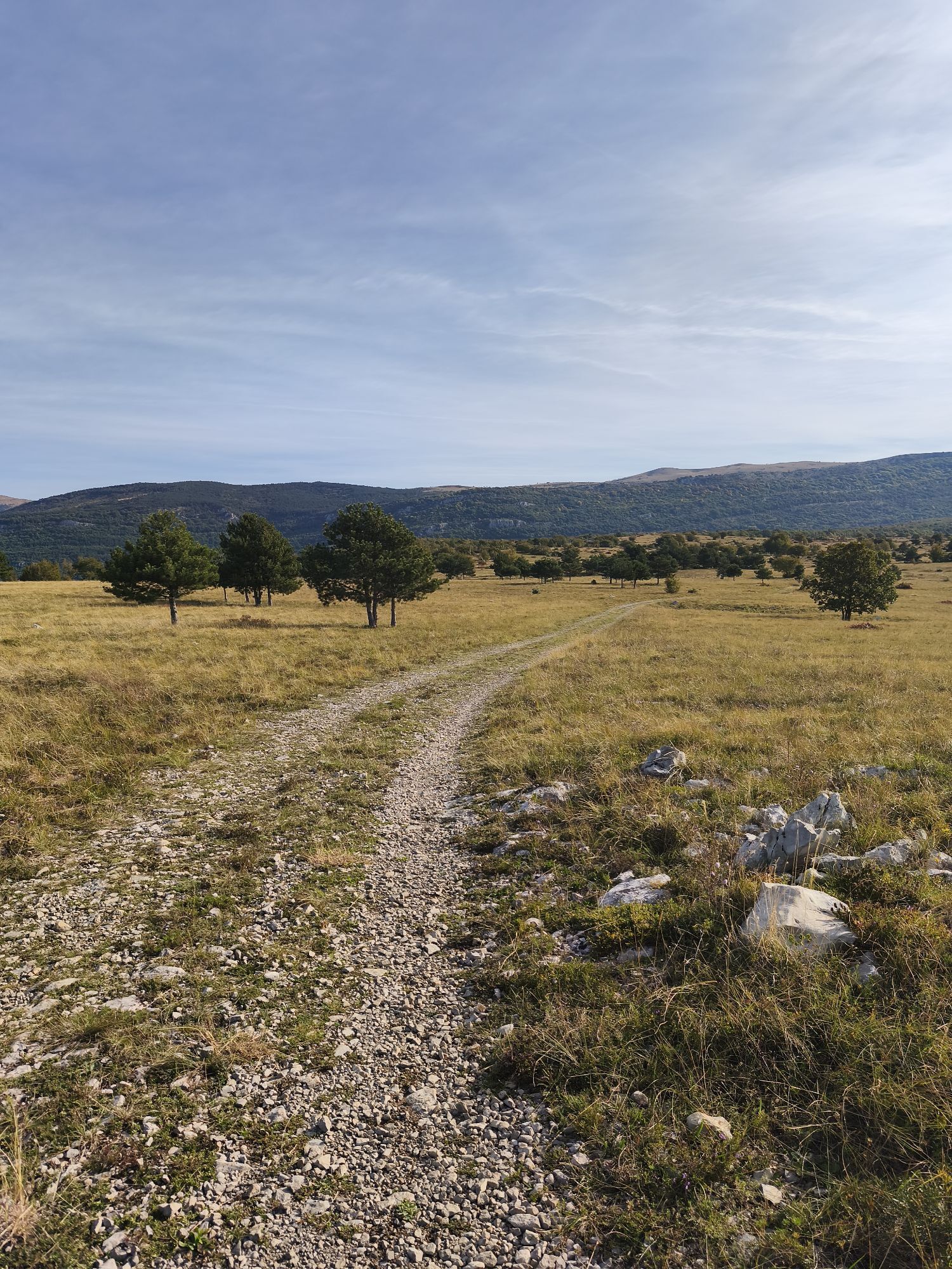
When you reach the crossroads of dirt roads, turn right (straight ahead leads to Movraž, left to Rakitovec) and follow the dirt track running almost along the ridge top toward the northwest, first slightly downhill, then level above Smokvica, and gently uphill to LaÄna, where you can climb the lookout tower, as the magnificent view is blocked by a pine forest.
From here, you can steeply descend to Hrastovlje and shorten the whole loop by half.
The main route continues straight ahead and begins descending toward Kubed.
It brings us to the main Kubed–GraÄišÄe road, where we turn right at the chapel, cross the main road, continue along the sidewalk, and soon turn left, steeply uphill between houses. Behind the houses, we turn right past a large overhang and climb to a cliff, above which stands the medieval Church of St. Florian from 1860. An interesting bell tower made of white karst stone has a five-pointed shape and served defensive purposes, as people hid here from Uskoks and Turks who invaded these lands in the 15th and 16th centuries.
Continue walking downhill to the right along the path to the wastewater treatment plant, then right again to a sharp bend of the main road.
Cross the main road and continue on the dirt road in the same direction toward the valley bottom.
The path levels briefly, then gently ascends toward Hrastovlje. The dirt road slowly turns left and leads back to the starting point.
After an interesting hike, you can refresh yourself at a village inn or a tourist farm. You can also visit the Pohlen gallery and see the famous Dance of Death frescoes in the Romanesque Church of the Holy Trinity from the early 12th century.
Suitable for sports or light hiking footwear.
Recommended in all seasons except during intense heat and strong bora wind. The route follows a firm karst surface, so it is also suitable during wet periods.
Highway connection to Ljubljana and Trieste
You can reach Koper by both train and bus.
Paid or free parking available
INTERESTING SIGHTS ALONG THE ROUTE
The fortified Church of the Holy Trinity with famous frescoes
Statue of Šavrinka
Pohlen and Snoj galleries in Hrastovlje
The five-pointed bell tower and Church of St. Florian in Kubed
Oblíbené prohlídky v okolí
-
5.0
Val Rosandra Rundwanderung
středníTuristika 8.06 km -
5.0
Val Rosandra,San Dorligo della Valle, kleine Runde
středníTuristika 7.42 km -
Terst a Koper / Koper Ring (R050)
středníCyklistika na velkou vzdálenost 52.3 km -
5.0
Trail on the blooming Slavnik
středníTuristika 7.79 km -
Slavnik iz Podgorja
středníTuristika 5.72 km -
5.0
AAT Etappe 36 Lipica-Bagnoli della Rossandra
středníTuristika 17.5 km -
4.5
Circular "Trail for Heart"
světloTuristika 9.50 km -
3.0
Glinščica - Val Rosandra, Botač - Bottazzo, Monte Stena
středníTuristika 11.1 km -
Visit the shores of Adriatic sea
světloSilniční kolo 35.1 km -
Etappe 37 Alpe Adria Trail
světloTuristika 18.2 km

Pěší turistika a stopování


Nenechte si ujít nabídky a inspiraci pro vaši příští dovolenou
Vaše e-mailová adresa byl přidán do poštovního seznamu.