







Premium route P7 Söder Wald

Wooded route with lively terrain structure, the Westerburg near Bad Sooden-Allendorf, Roman camp, burial mounds, the Bruchteiche ponds and viewpoints over the spa town on the Werra and the Hoher Meißner...
Wooded route with lively terrain structure, the Westerburg near Bad Sooden-Allendorf, Roman camp, burial mounds, the Bruchteiche ponds and viewpoints over the spa town on the Werra and the Hoher Meißner (Meißnerblick). Plan the 1 km detour to the Roman camp and the burial mounds. The rampart is said to have surrounded an early medieval royal castle. It is assumed that the castle was meant to protect the king's saltworks (saline) in Sooden.
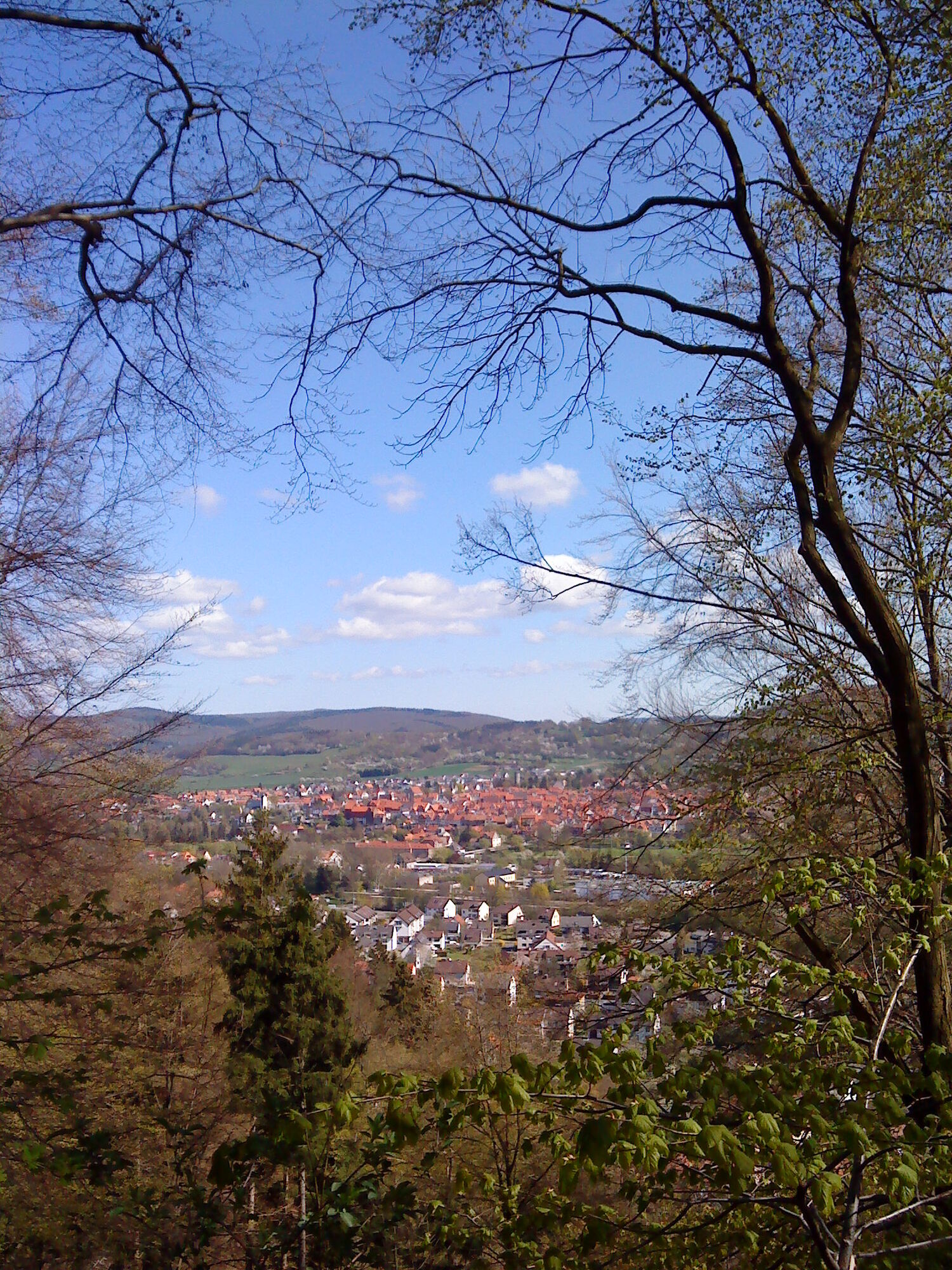
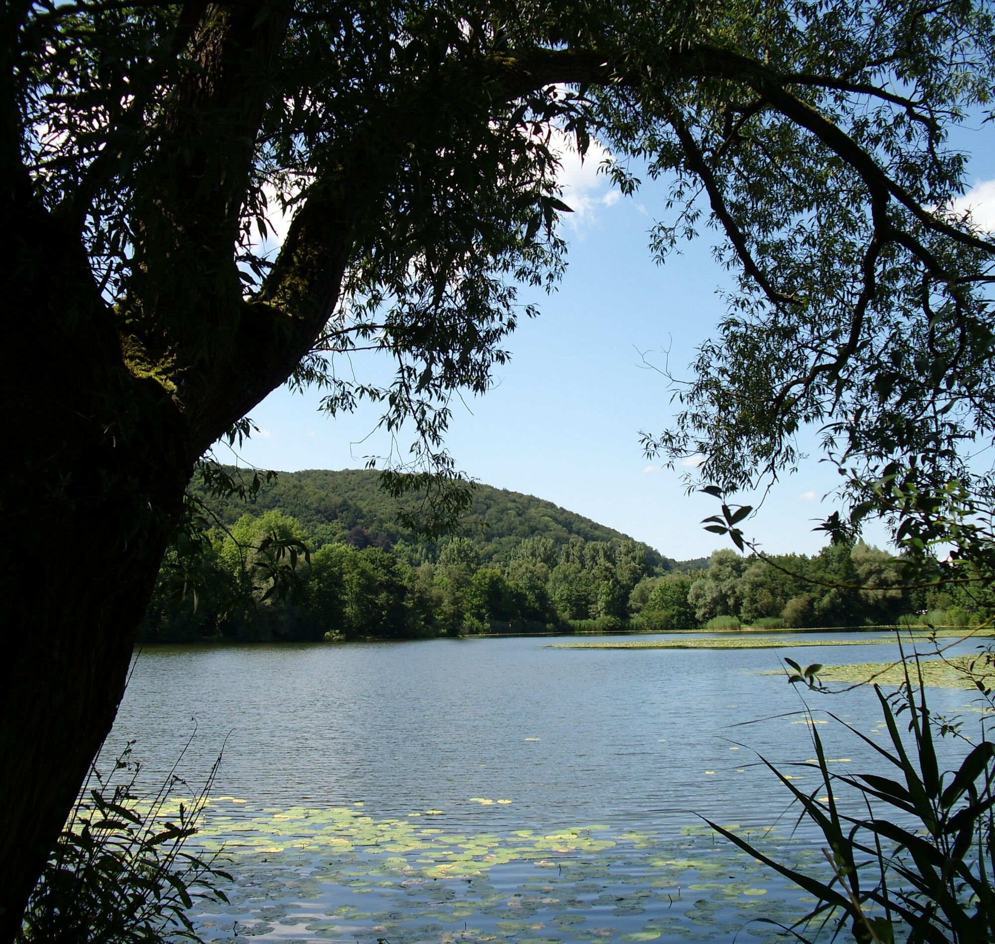

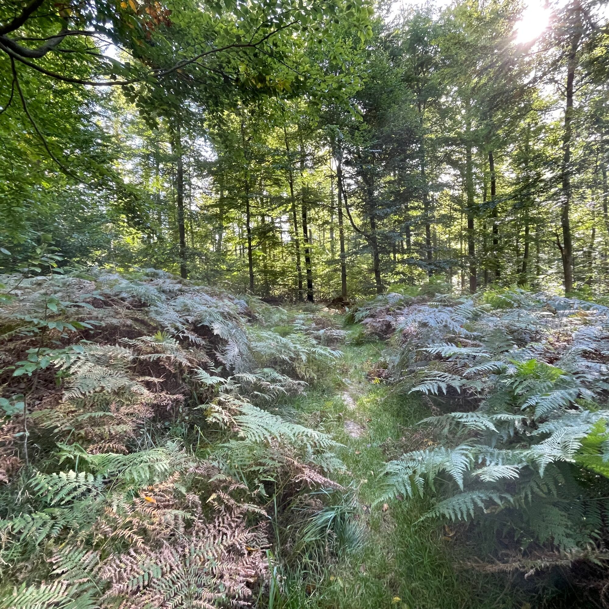

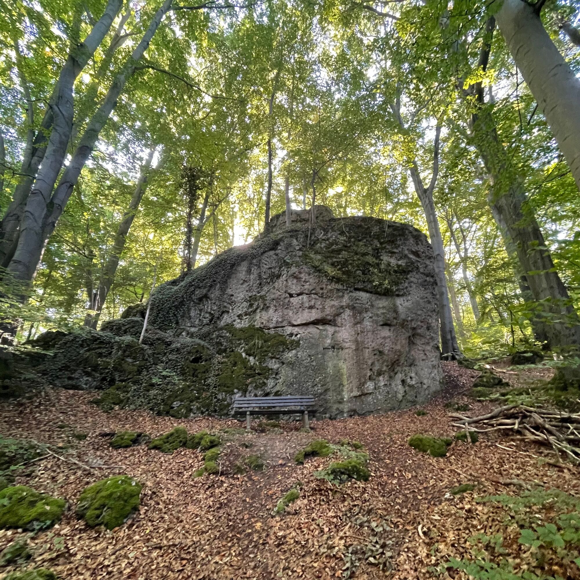
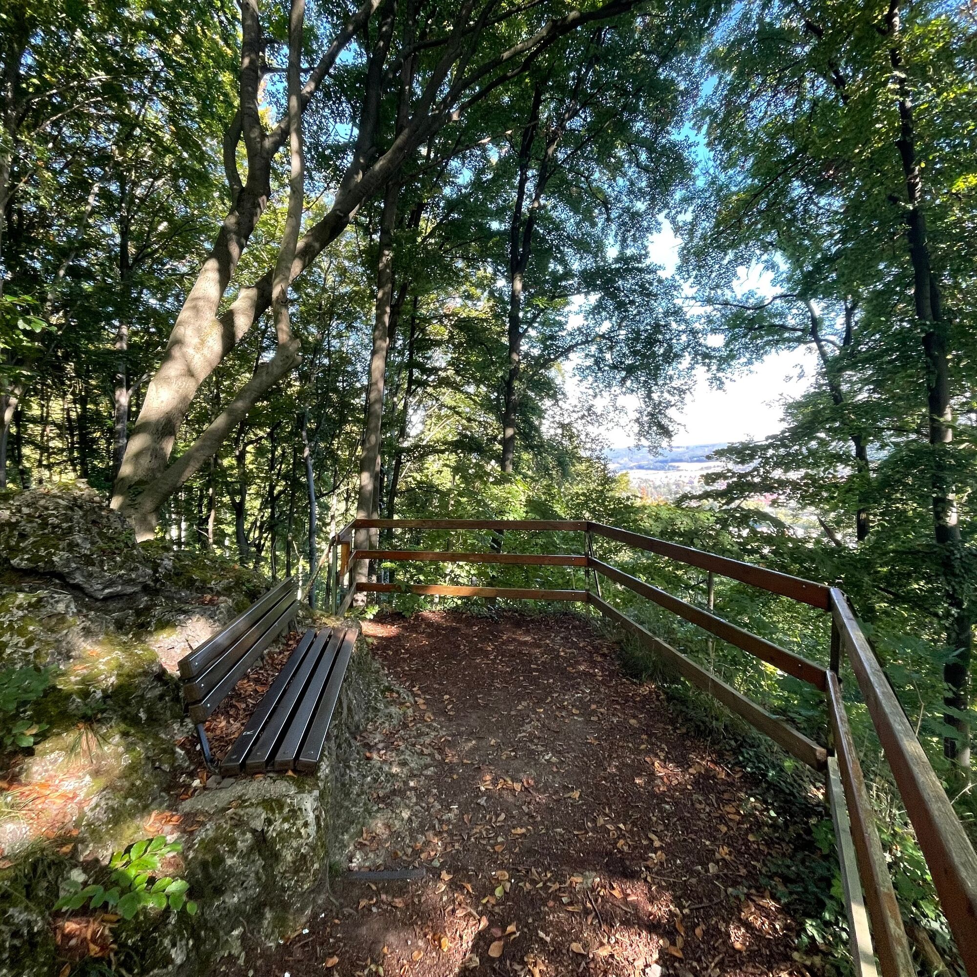
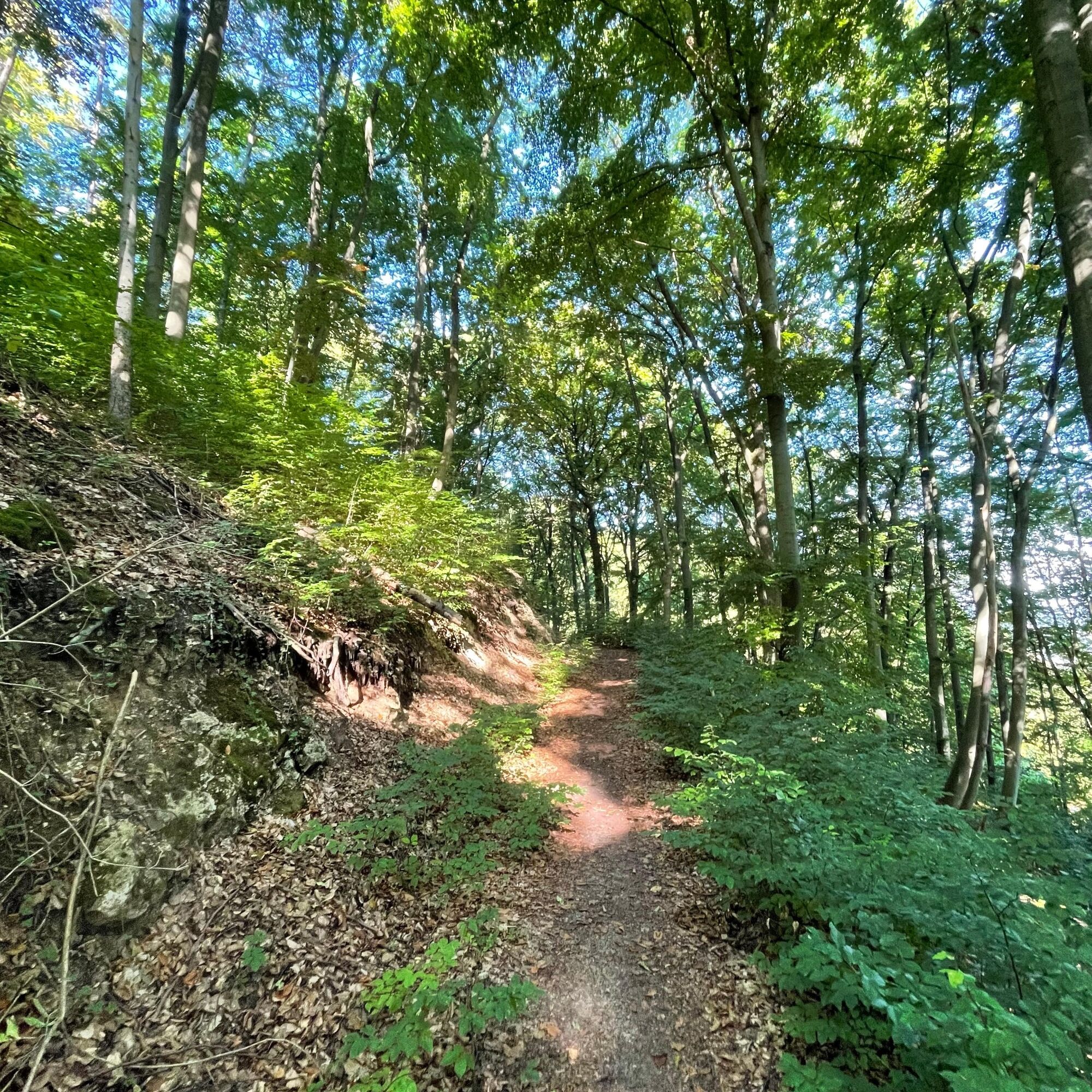
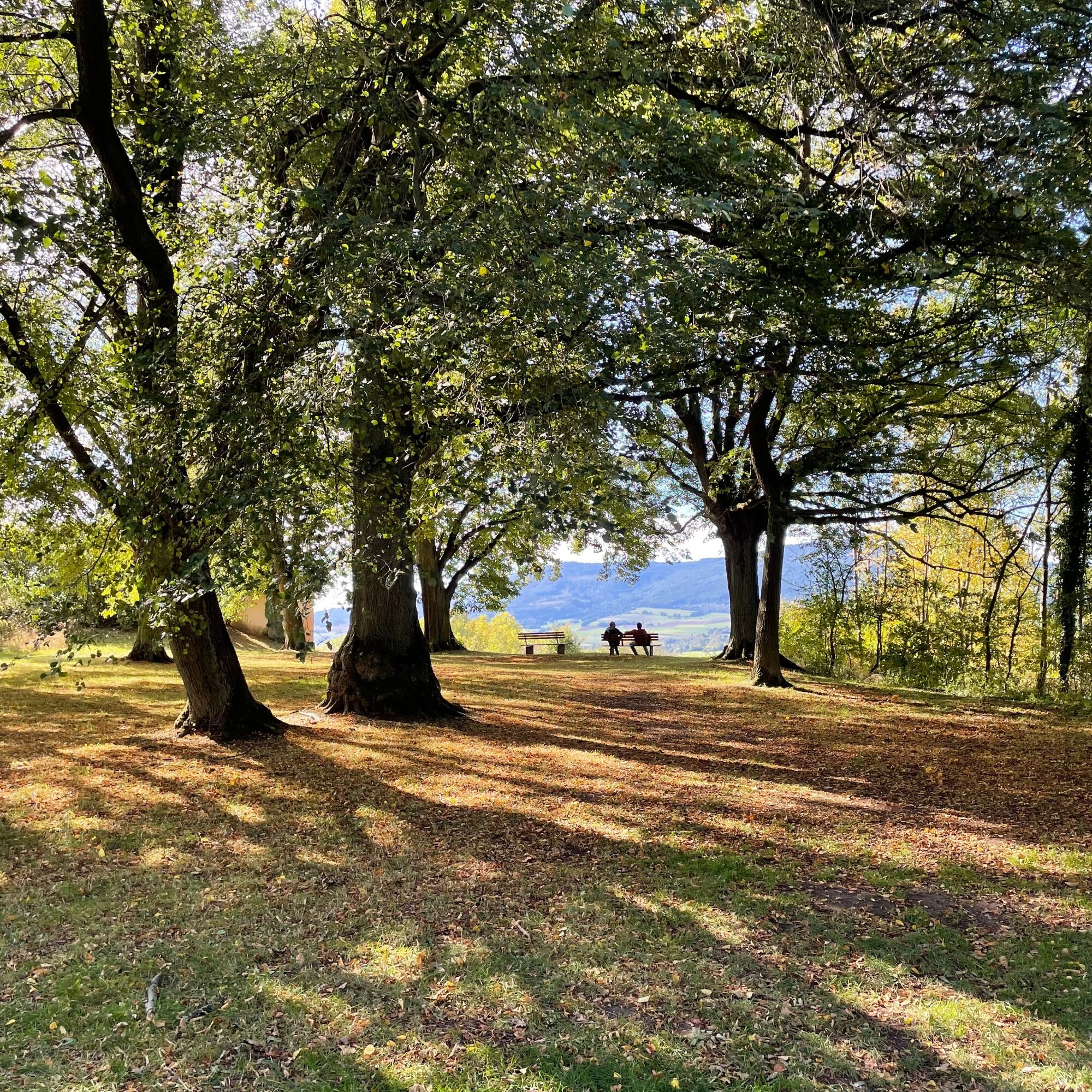
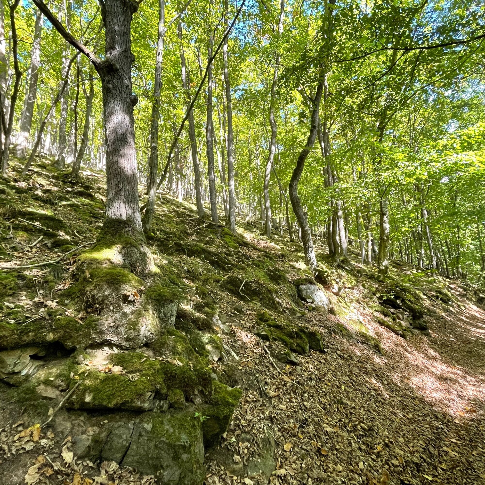
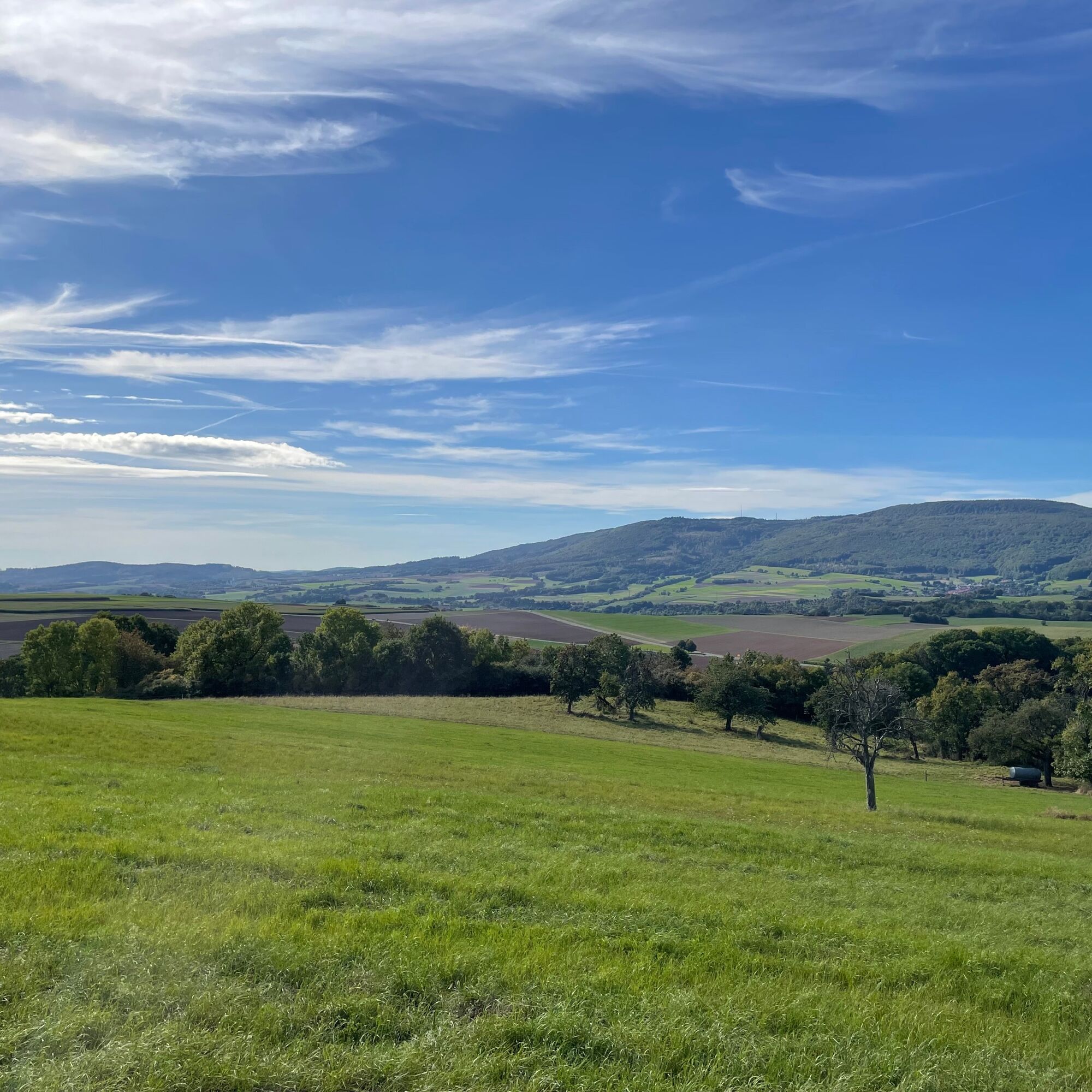
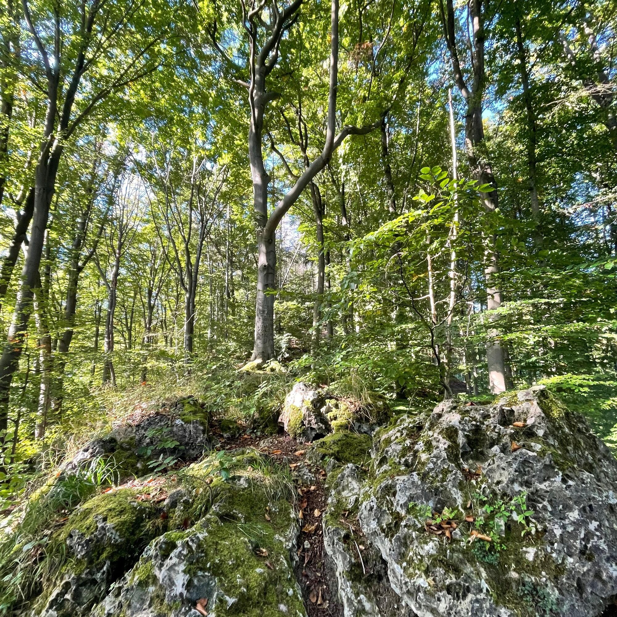

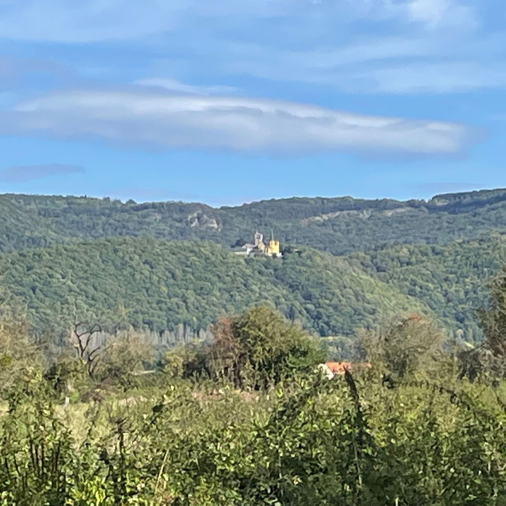

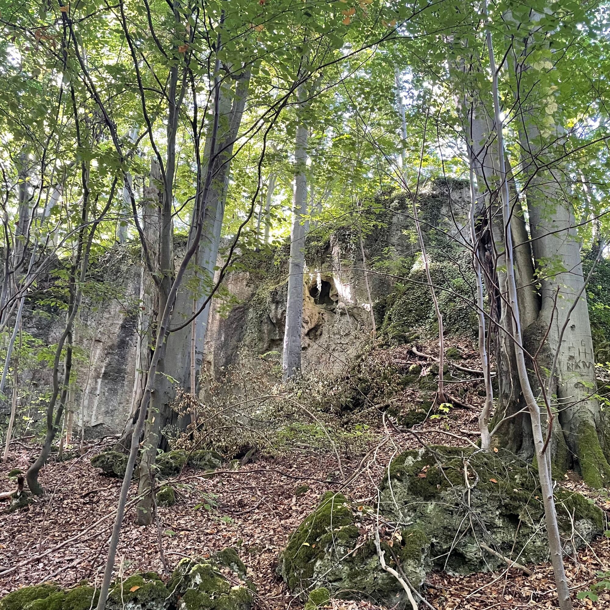

Along its 15 km length, the P7 passes many interesting points, such as the so-called Bride's Bed (a large stone that, according to folk belief, should bring young girls a husband within a year through magical touches), the Joggelibrunnen at the source of the Dohlsbach, the Hindenburg memorial stone, and the Otterbach stone. At the Meißnerblick viewpoint, the Orferode district and the charming panorama of the Hoher Meißner can be seen. On comfortable paths, you walk along the shore of the Bruchteiche ponds. Then the path rises again. At the Rabenstein you can linger with a view over the Werra valley. Upon reaching Westerburg, Bad Sooden-Allendorf lies at your feet. There is a shortcut via circular route 15, which skips the Bruchteiche ponds. Combination with the Werra-Burgen-Steig Hessen (X5 H), which runs through Bad Sooden-Allendorf, is possible.
Refreshments: Waldgasthaus Zur Westerburg, Westerburg 1, 37242 Bad Sooden-Allendorf.
In the town of Bad Sooden-Allendorf, many other options can be found.
Accommodation directly on the path:
Please inquire at the Tourist Information Bad Sooden-Allendorf, 05652 9587-0, www.bad-sooden-allendorf.de
Further accommodation options: www.naturparkfrauholle.land
Ano
Moderate difficulty route, sturdy hiking boots recommended.
Please note the current information at www.naturparkfrauholle.land/
Navigation: Federal Highway 27
Nearest DB train station: Bad Sooden-Allendorf. Route planner of the North Hessian Transport Association: www.nvv.de Line 215B, stop Klinik Balzerbornweg
Three hiking car parks are equipped with information boards and can be used free of charge. P Balzerbornweg, 37242 Bad Sooden-Allendorf, P Westerburg, junction from L3239 between Bad Sooden-Allendorf and OT Kammerbach, P Breite Hecke at the intersection L3239/L3422 between Bad Sooden-Allendorf and OT Kammerbach (1.7 km access path).
Ano
All year round, best time April to October.
Information about accommodation options, excursion tips, guided hikes and news from the Geo-Nature Park Frau-Holle-Land: www.naturparkfrauholle.land, Tel. 05657 64499-0 or 0561 1003-1382.
The spa and half-timbered town Bad Sooden-Allendorf offers shops open on weekends that invite you to stroll and many restaurants.

Oblíbené prohlídky v okolí
- 4.0
Premium route P1 Hoher Meißner
heavyTuristika 13.8 km - 5.0
Premium trail P16 Asbach-Sickenberg - Walkable Green Belt
heavyTuristika 13.6 km - 5.0
Premium trail P14 Bilstein
středníTuristika 9.96 km - 3.8
Premium route P27 Ludwigstein
středníTuristika 11.2 km - 5.0
Premium route P2 Frankershäuser Karst
heavyTuristika 10.2 km Premium route P4 Hessische Schweiz - Walkable Green Belt
heavyTuristika 15.7 kmPremium route P9 Wacholderpfad Roßbach
středníTuristika 11.1 km- 5.0
Premium route P19 Datterode, Goose Lads' Route
středníTuristika 9.55 km Premium route P23 Höllental
středníTuristika 9.89 km- 4.0
5th section Werra-Burgen-Steig Hessen
heavyTuristika 17.5 km

Pěší turistika a stopování


Nenechte si ujít nabídky a inspiraci pro vaši příští dovolenou
Vaše e-mailová adresa byl přidán do poštovního seznamu.





