


Canoe River Lahn
Úroveň obtížnosti: 3
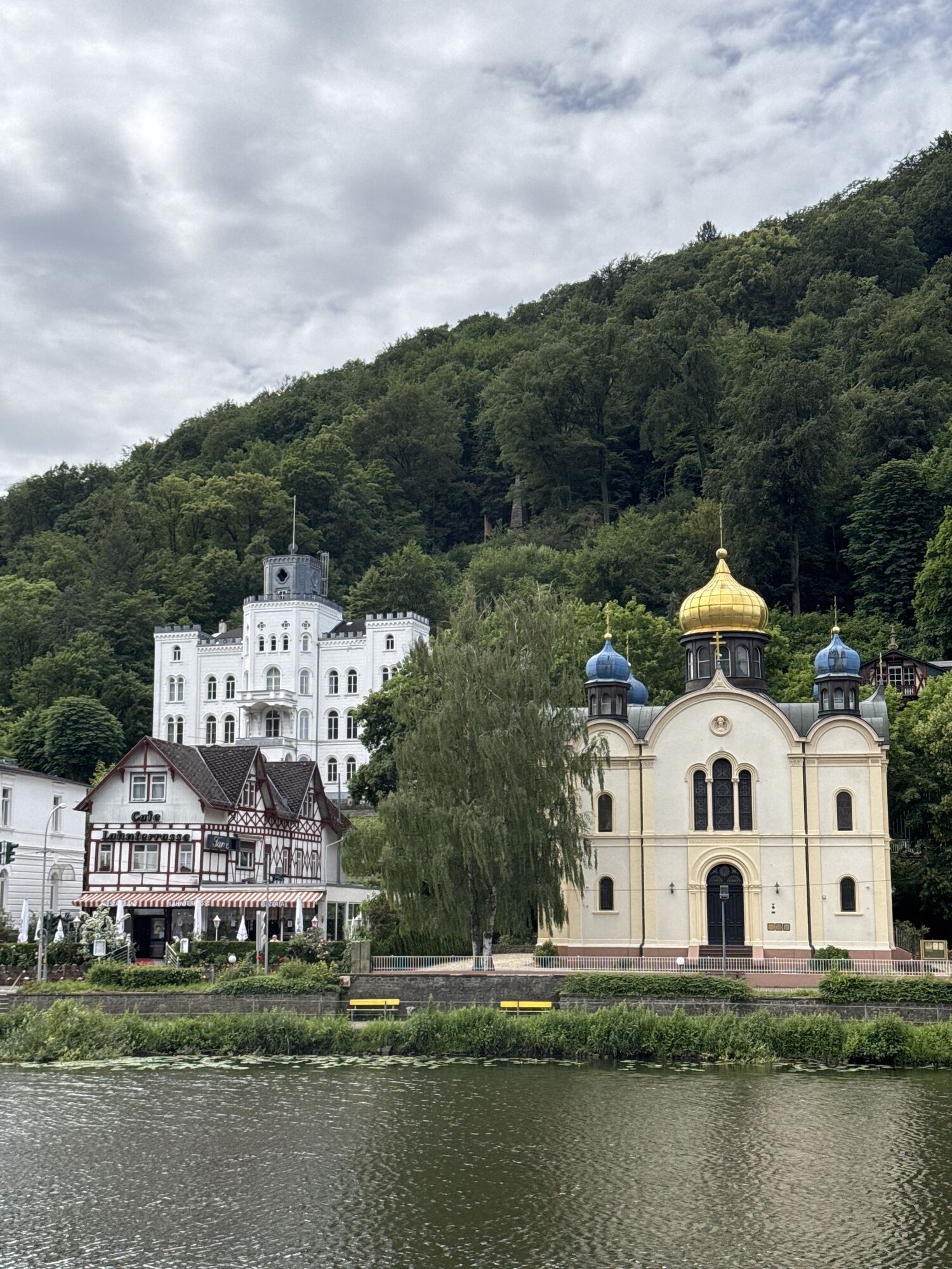
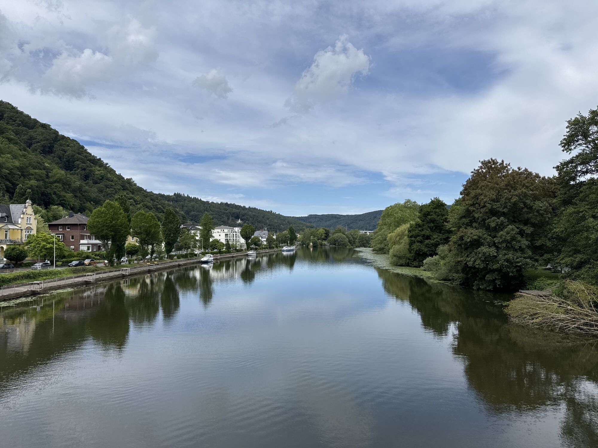
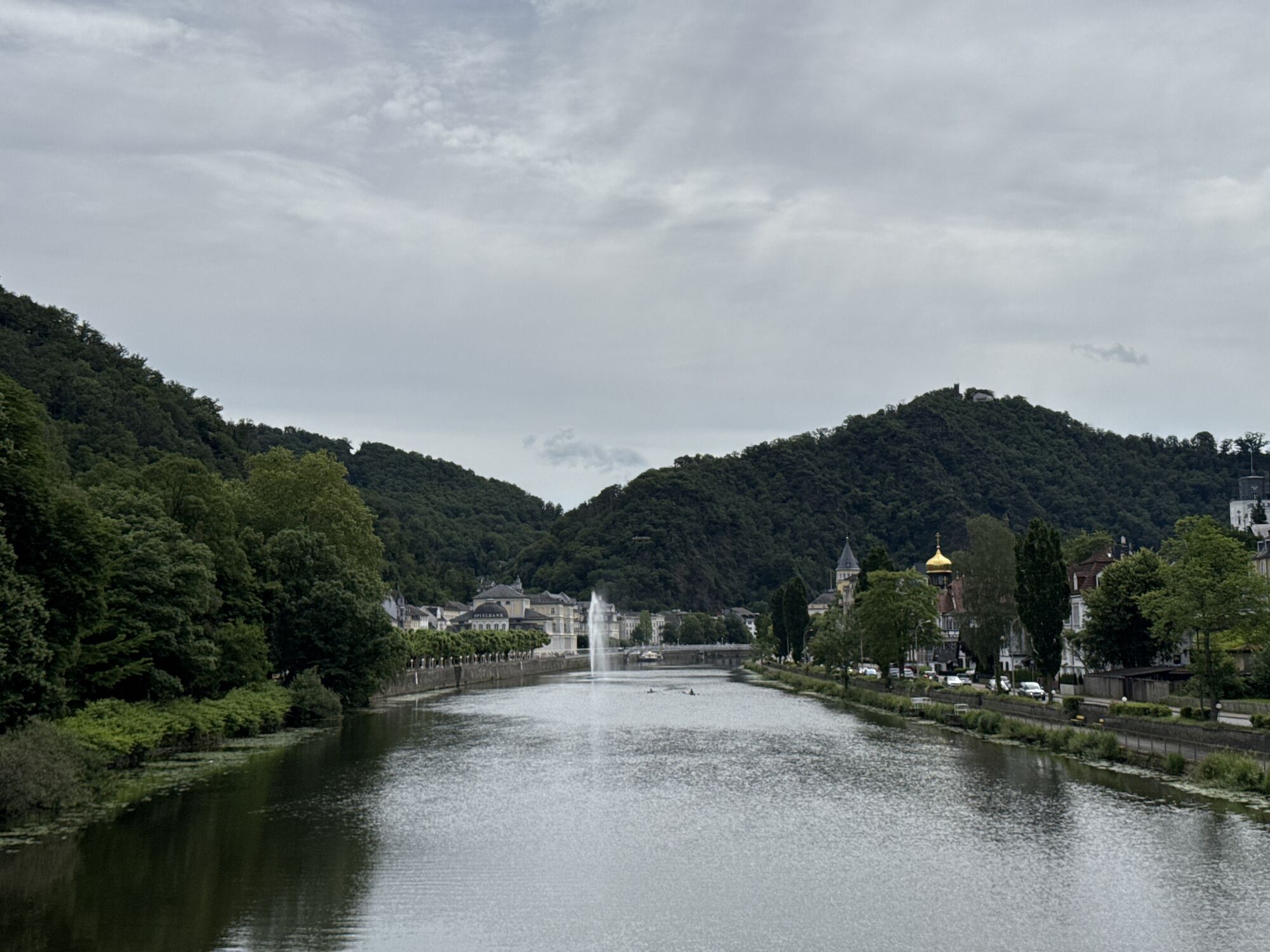
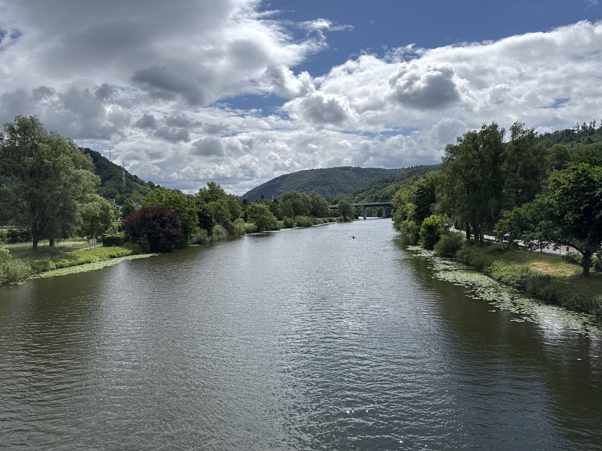
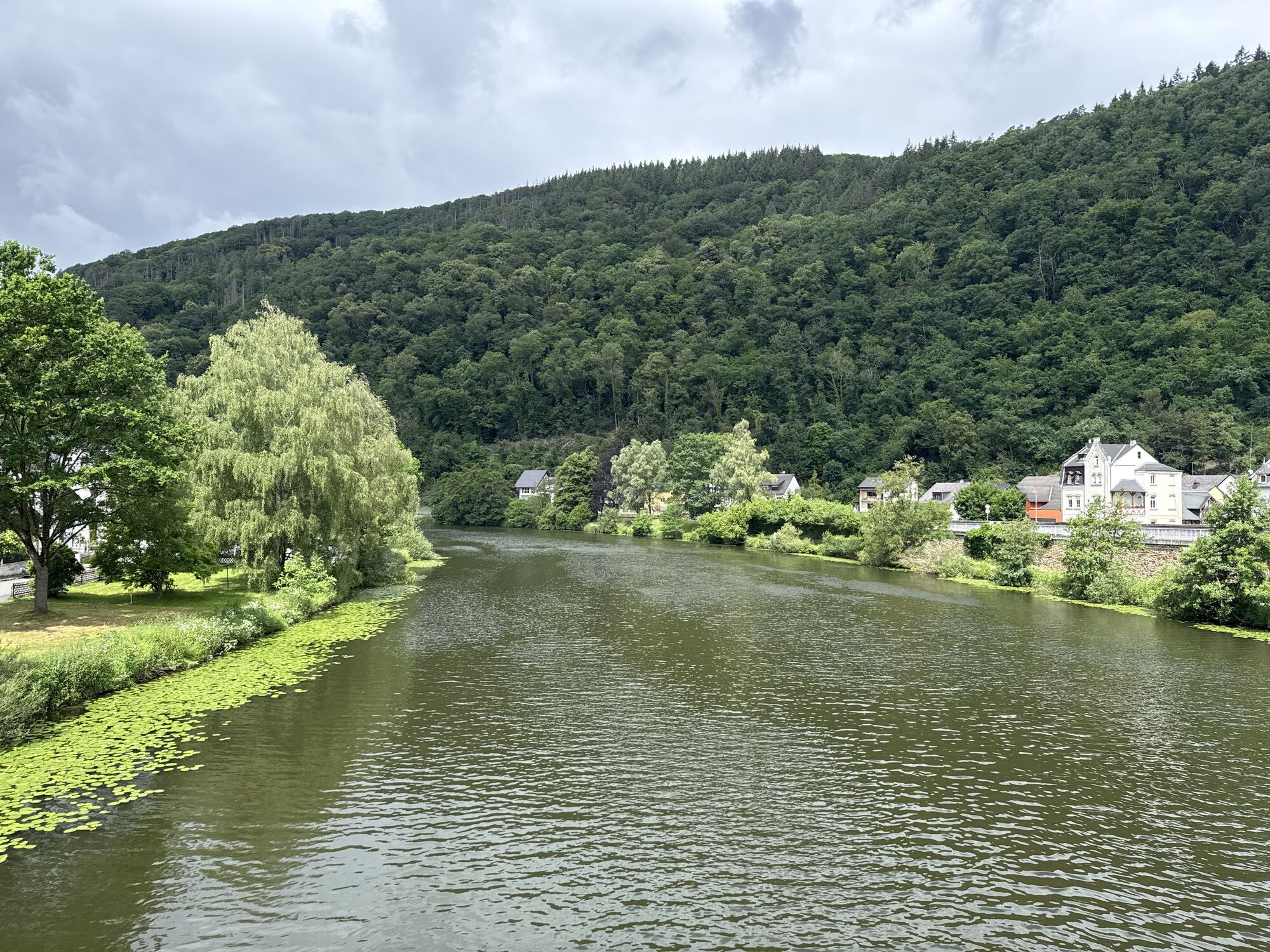
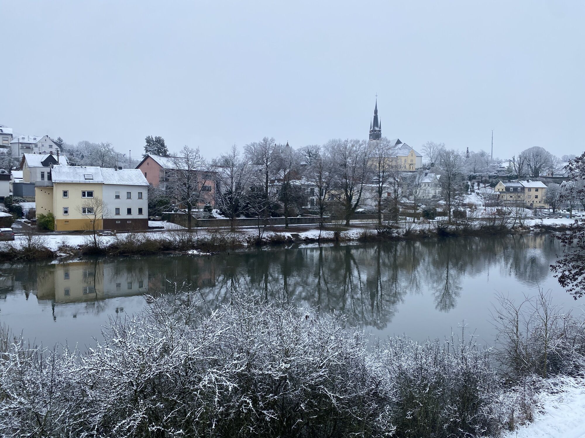
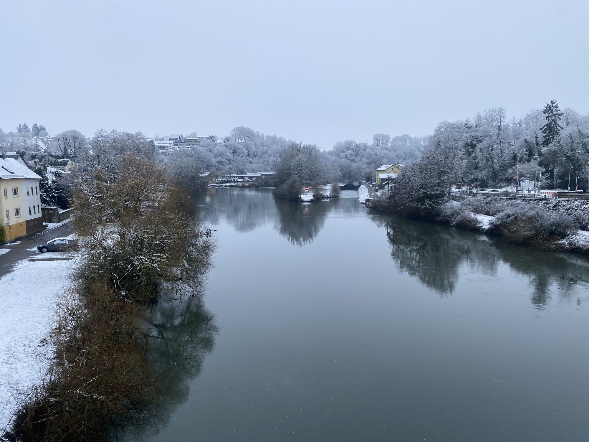
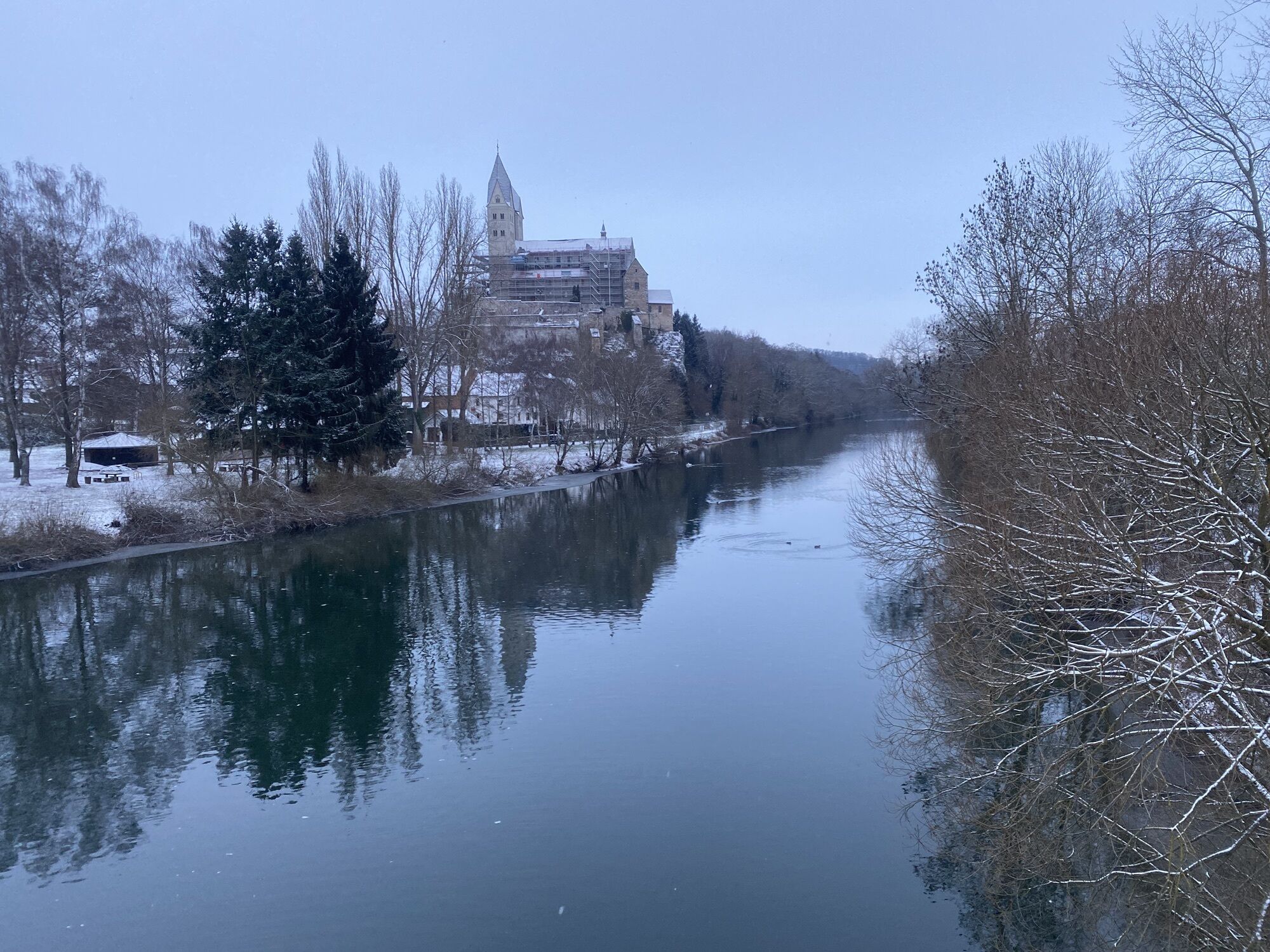
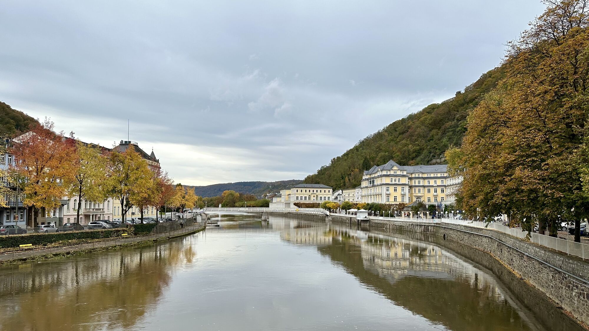
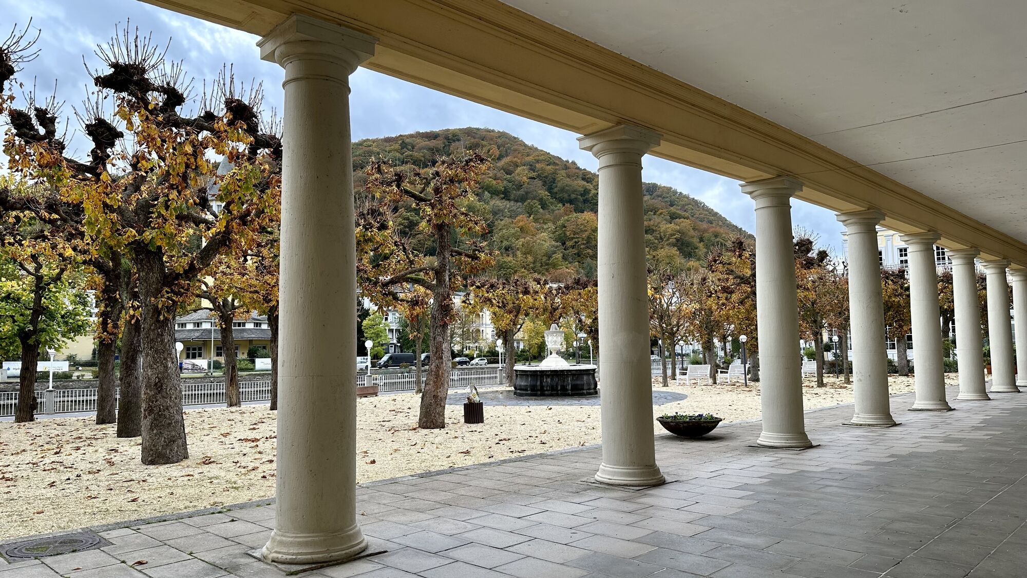
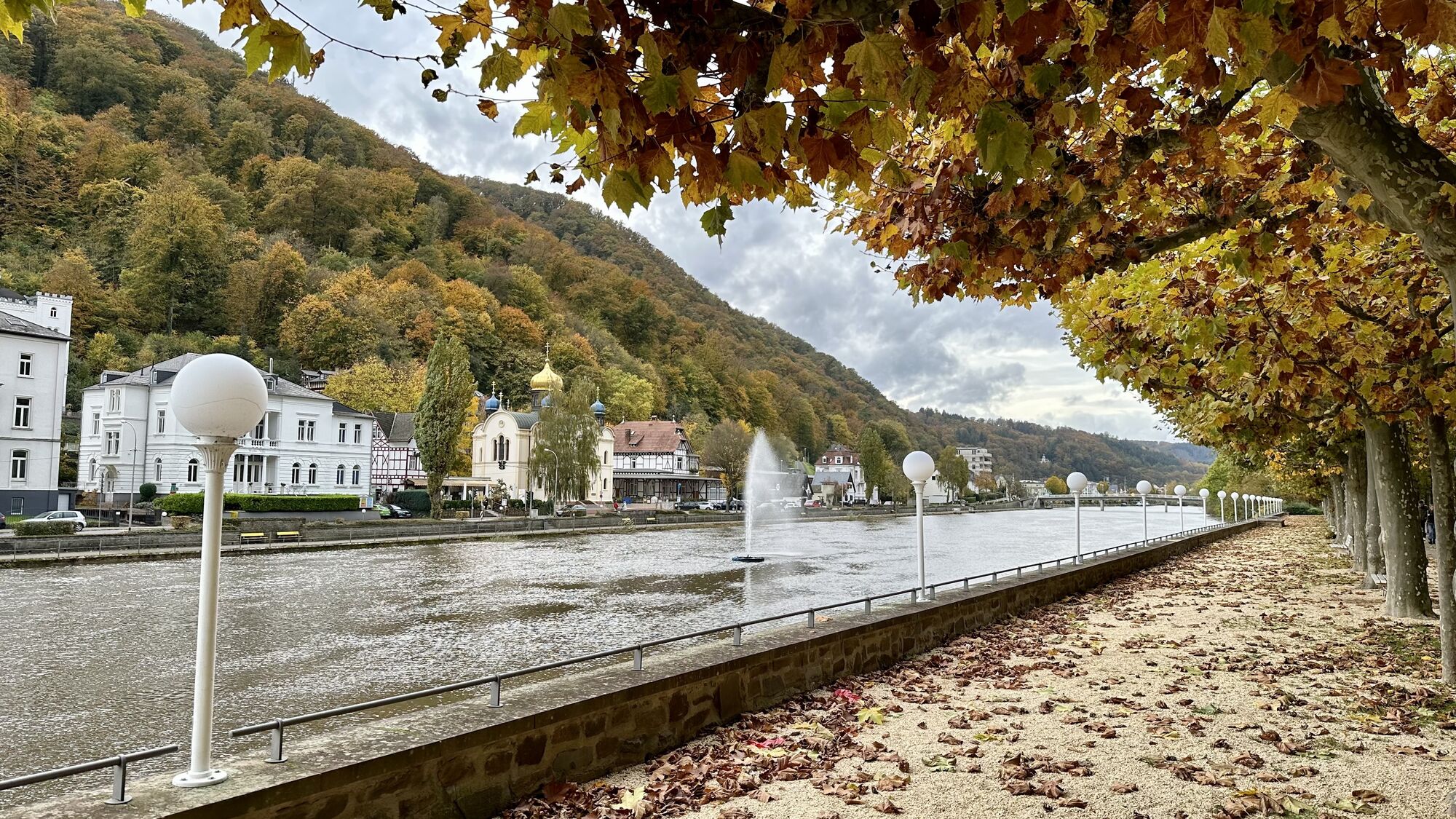
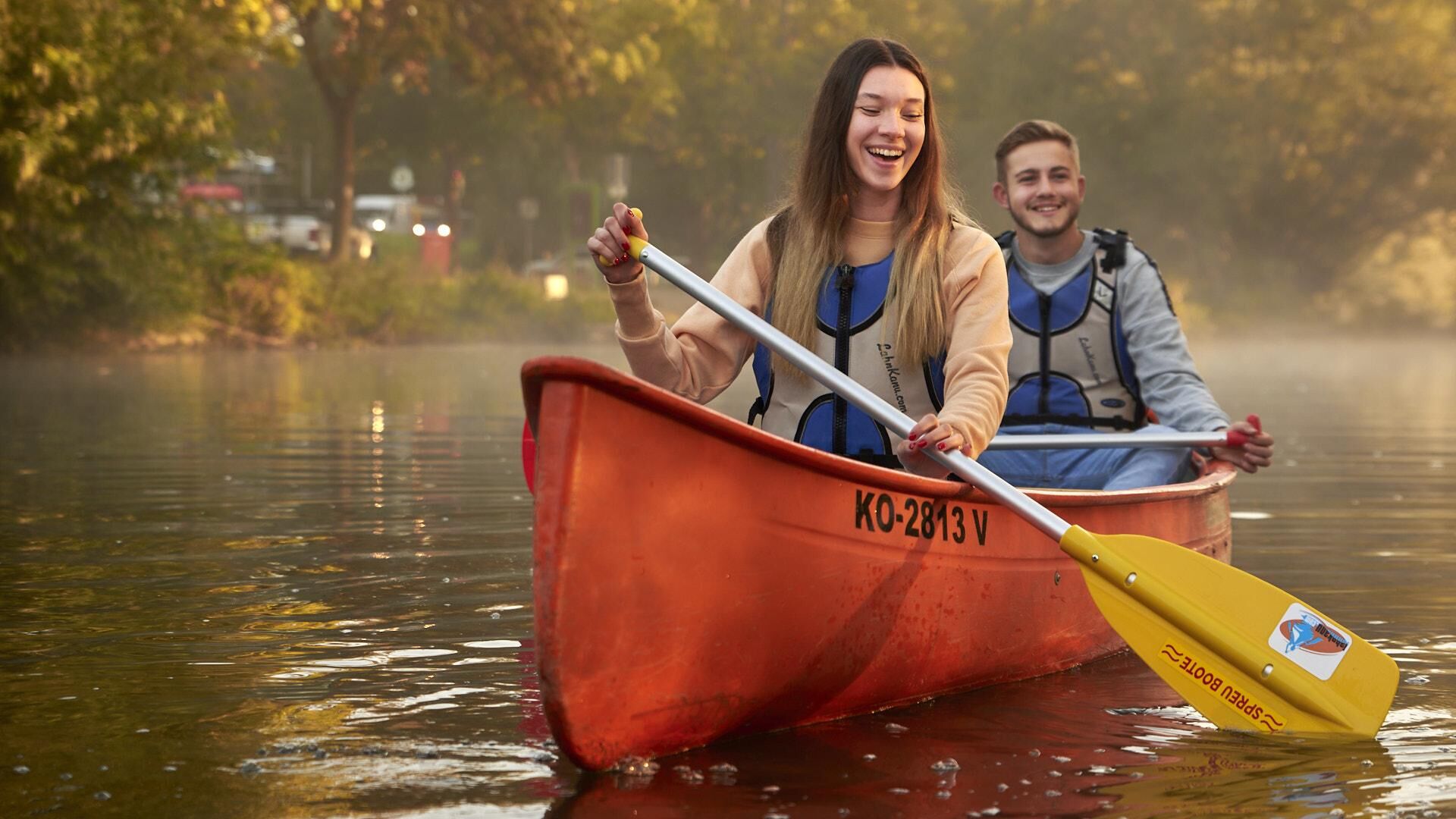
The Lahn fascinates with a varied natural landscape: The wide and lovely floodplains of the middle Lahntal transition further south into steeper slopes. From Diez, the river has cut deeply into the landscape...
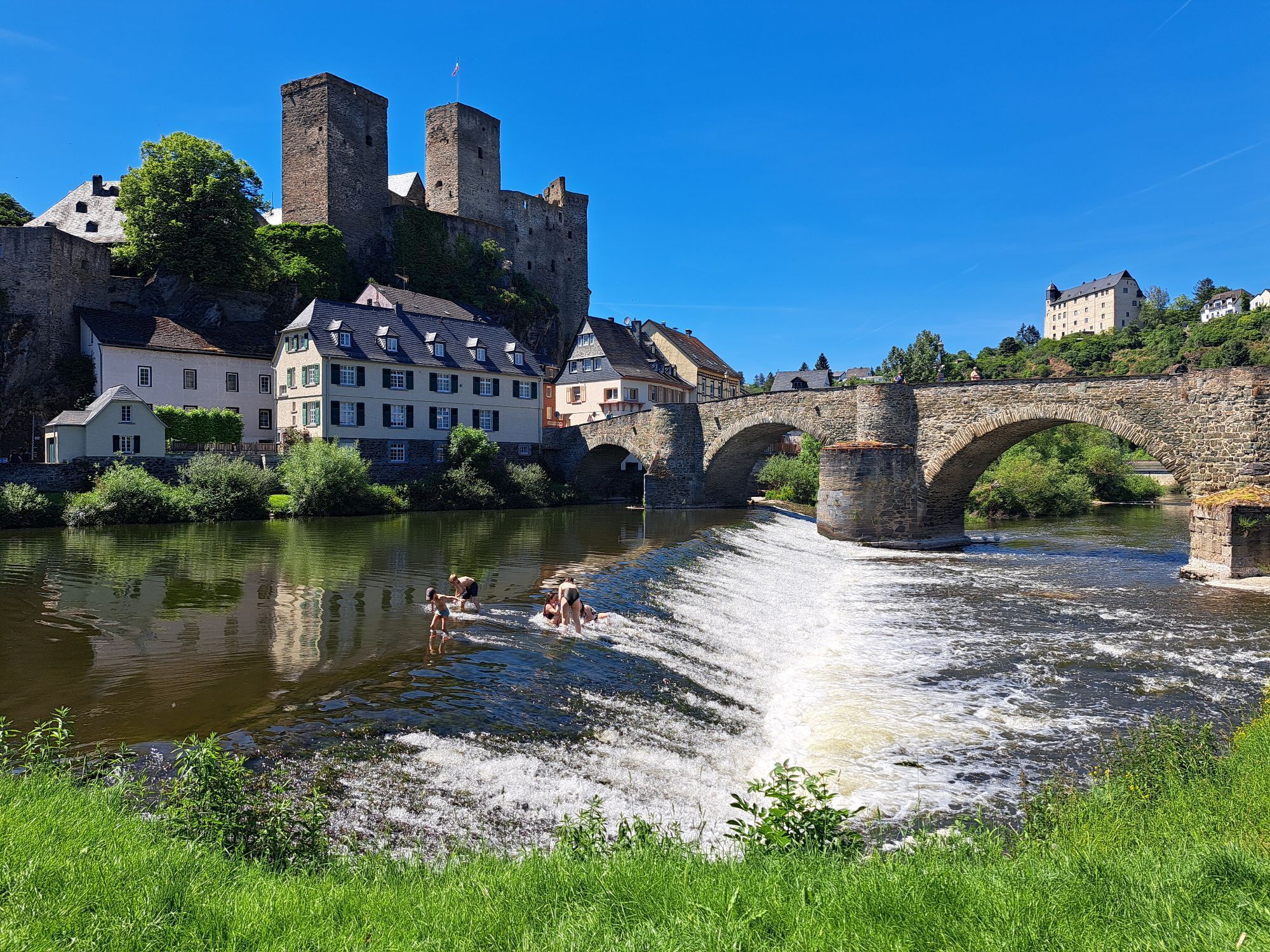
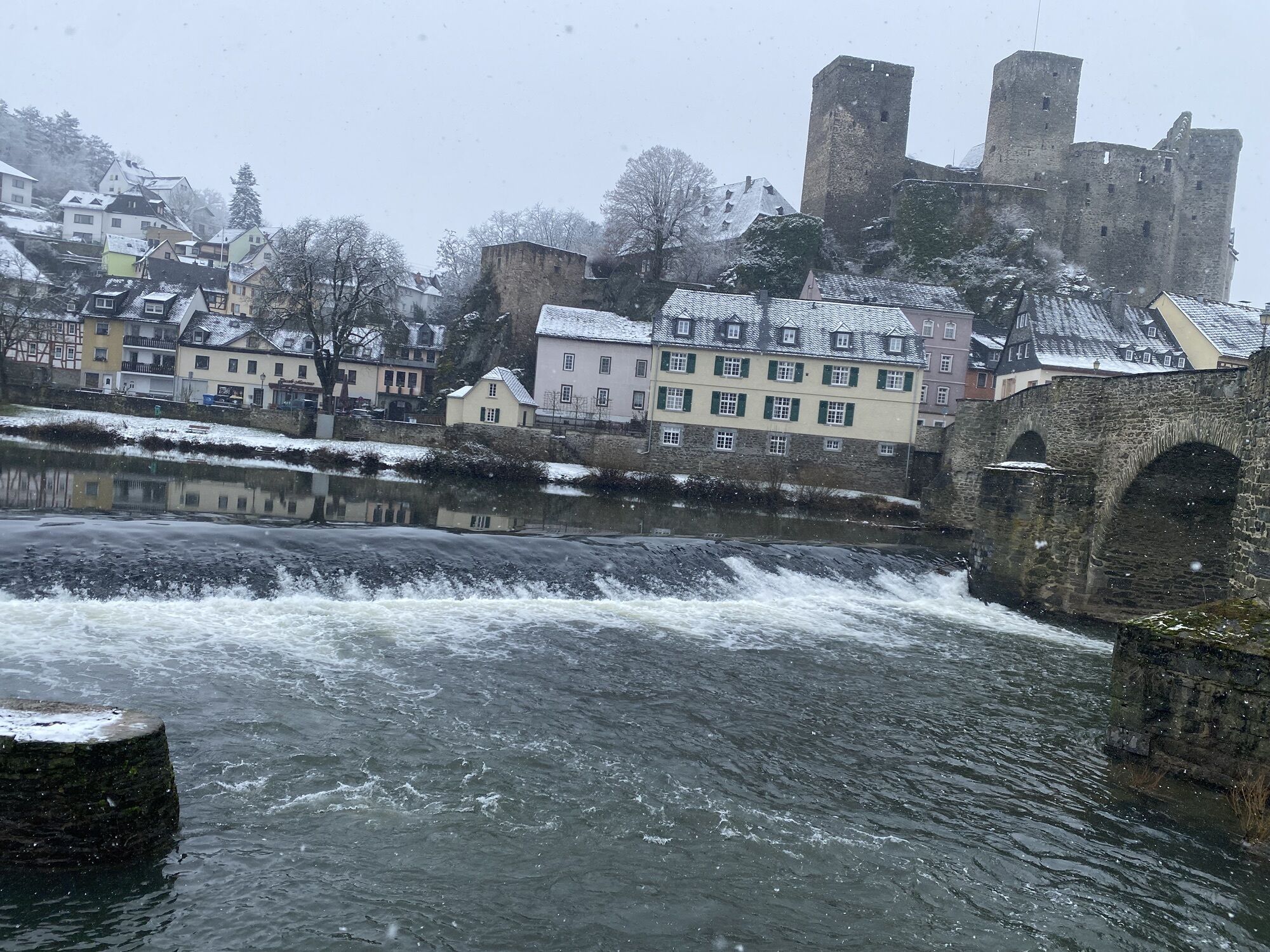
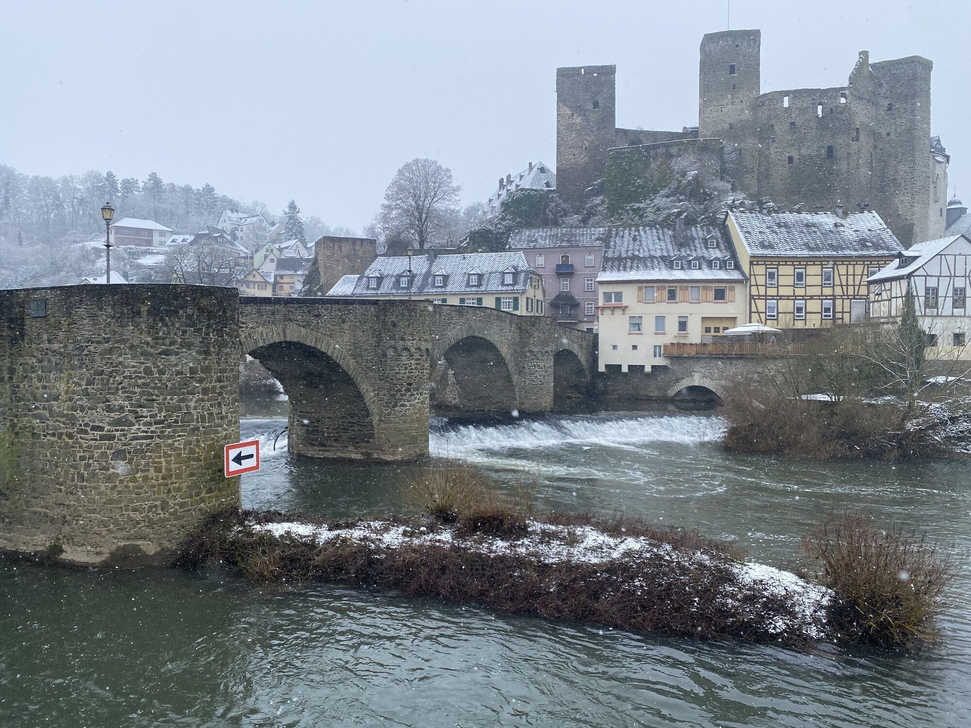
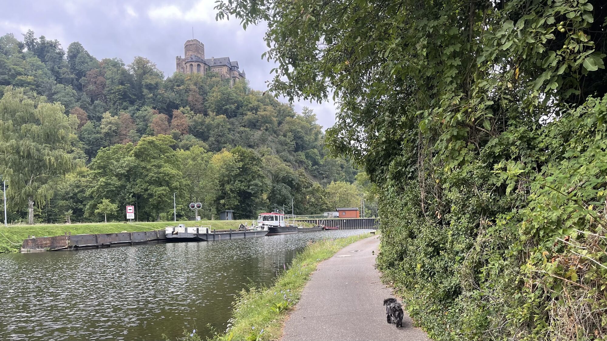
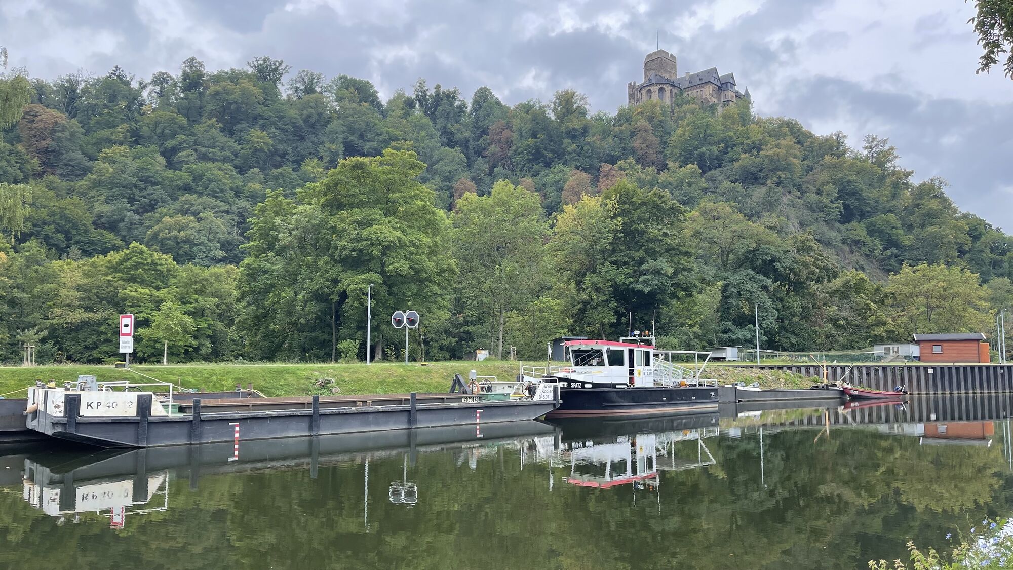
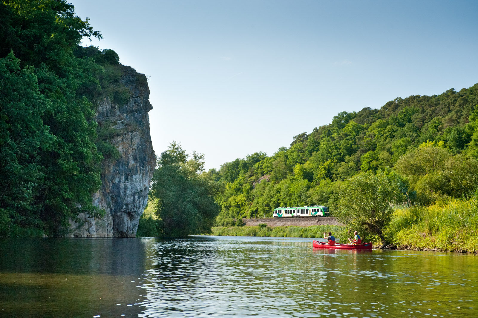
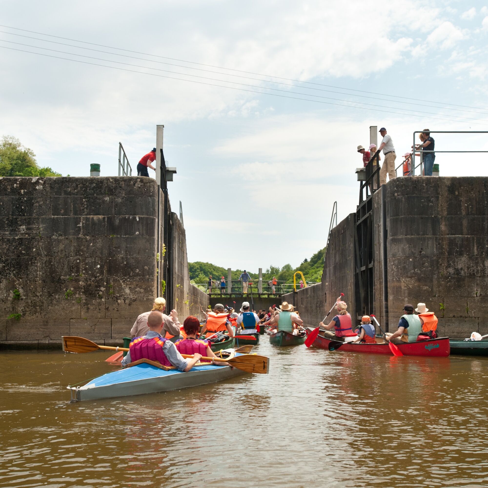
The Lahn fascinates with a varied natural landscape: The wide and lovely floodplains of the middle Lahntal transition further south into steeper slopes. From Diez, the river has cut deeply into the landscape and offers a wild romantic experience. Its gentle rapids and many locks, which can be operated by hand up to Runkel, offer both inexperienced paddlers and experienced canoeists exciting and varied river enjoyment. The ship tunnel in Weilburg is unique. On sunny days, when many canoes are on the move, you should allow some time for the passage through the ship tunnel and the subsequent coupling lock.
Everything about canoeing, the beautiful nature, and the canoe rentals can be found at www.daslahntal.de/heute-auf-der-lahn/

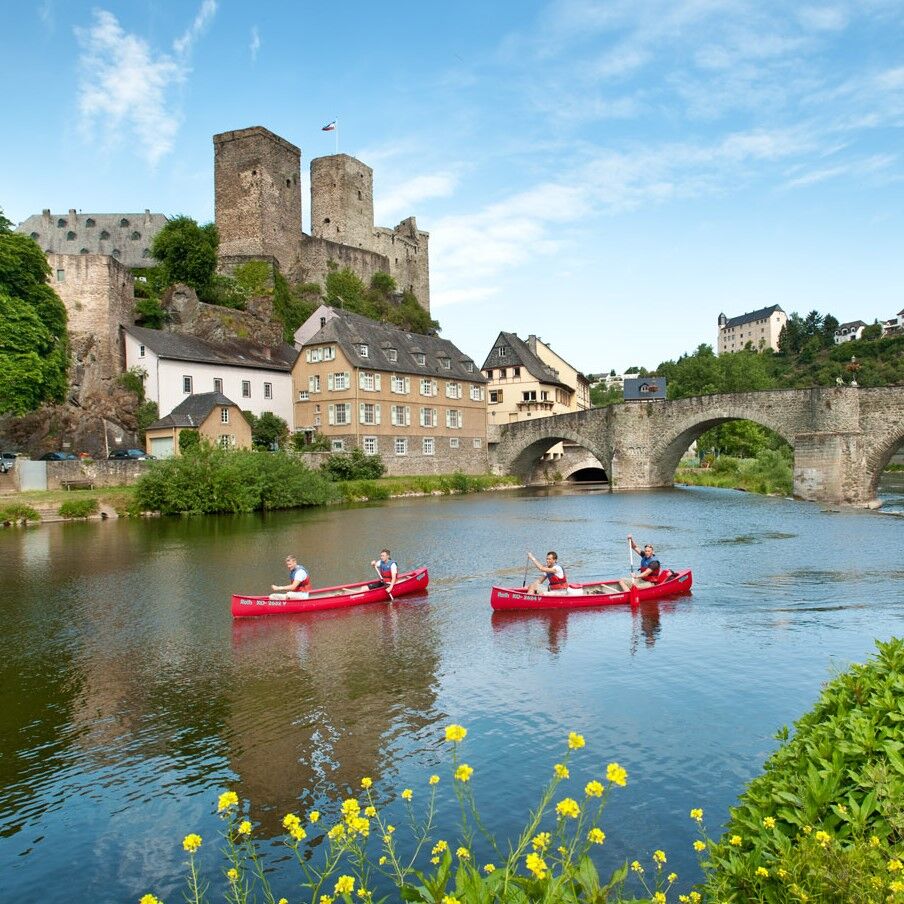
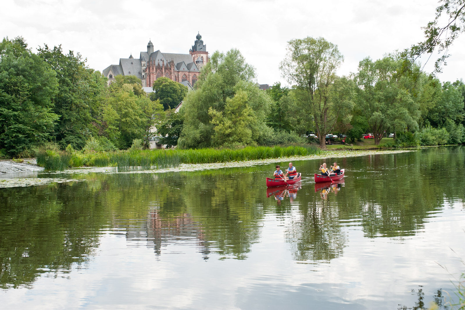
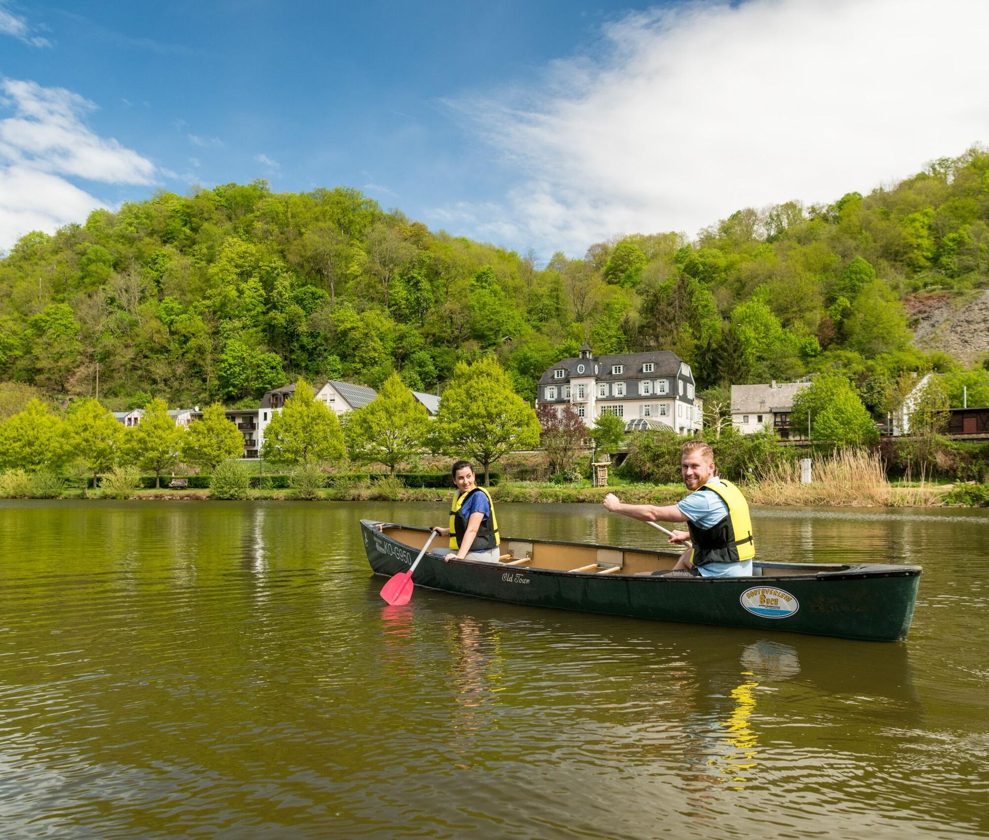
The first entry point for water hikers is located south of Marburg in the Weimar district of Roth. From here, the Lahn can be explored along approximately 160 river kilometers – away from urban areas, yet only about an hour from Frankfurt and Cologne.
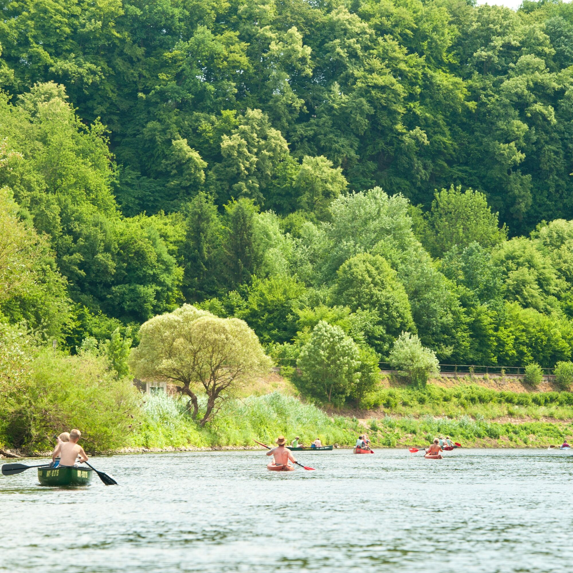
In autumn and winter – from September 21 to April 30 each year – the first starting point of a canoe tour shifts to Lollar Odenhausen. This shift serves the special protection of rare bird species that fortunately still live here. Between Weimar-Roth and Lollar-Odenhausen, the Lahn flows through the European bird protection area "Lahntal between Marburg and Gießen."
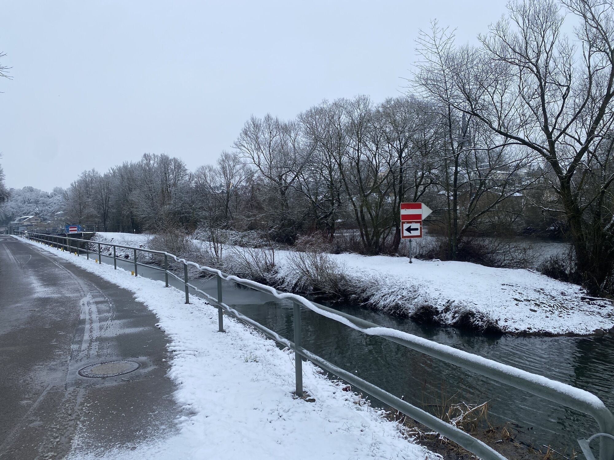
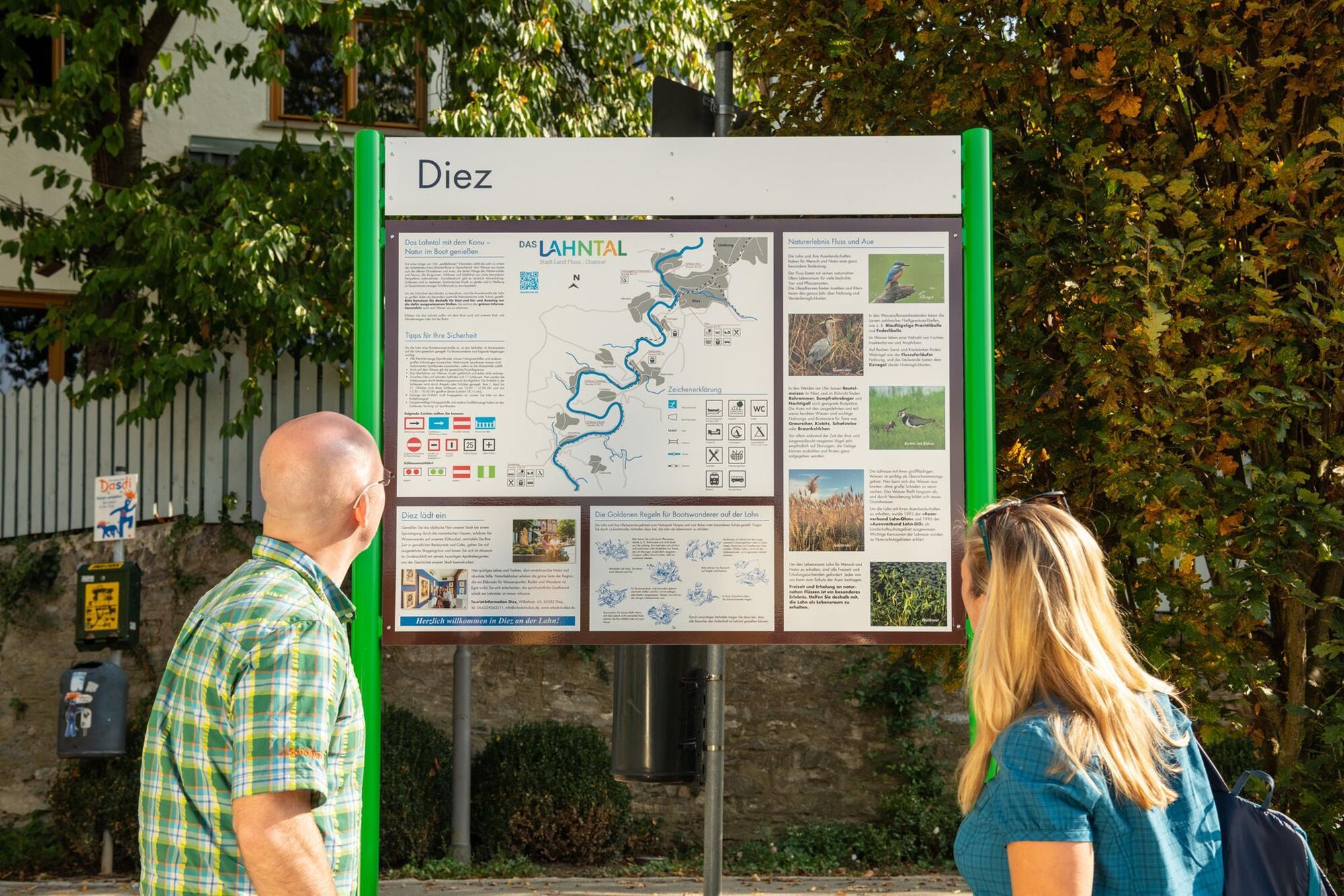
Green information boards, already visible from the water at a distance, mark the entry and exit points or rest areas designated specifically for water hikers. Landing paddle boats is only permitted at these points. The start and end of a boat tour are only possible at entry and exit points. Rest areas can only be approached from the water; there is no access by car.
All designated entry and exit points and rest areas along the Lahn with the available infrastructure can be found on the overview map.
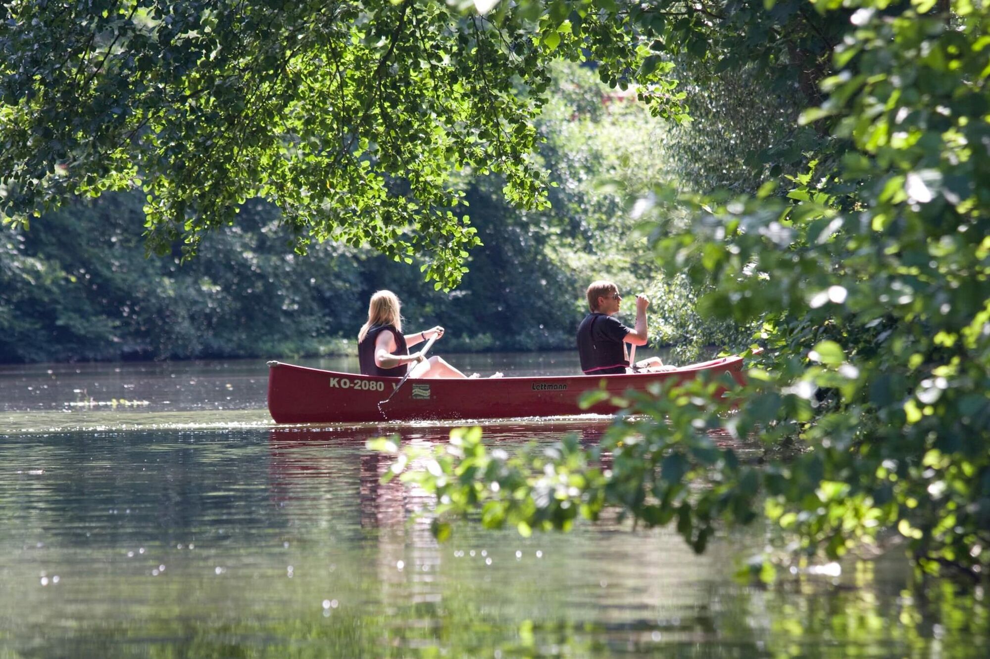
To preserve their beauty, large parts of the Lahn’s floodplain areas have been protected as particularly valuable natural areas. Through considerate behavior, all canoeists can contribute to ensuring that this nature is preserved and remains accessible to everyone.
Right at the beginning of the paddling section, between Weimar-Roth and Lollar-Odenhausen, you are in a European bird protection area. To protect the rare birds, these easy-to-follow rules apply.
About the stages:
Stage 1: Weimar-Roth (km -26) to Lollar-Odenhausen (km -18.2), distance 7.8 river km
Stage 2: Lollar-Odenhausen (km -18.2) to Wettenberg-Wißmar (km -12.5), distance 5.7 river km
Stage 3: Wettenberg-Wißmar (km -12.5) to Gießen-Wißmar Bridge (km -9.9), distance 2.6 river km
Stage 4: Gießen-Wißmar Bridge (km -9.9) to Gießen Center (km -5.2), distance 4.7 river km
Stage 5: Gießen Center (km -5.2) to Gießen-Stadtwerke (km -4.7), distance 0.5 river km
Stage 6: Gießen-Stadtwerke (km -4.7) to Lahnau-Dorlar (km 5.7), distance 1 river km
Stage 7: Lahnau-Dorlar (km 5.7) to Wetzlar-Fischerhütte (km 9.7), distance 4 river km
Stage 8: Wetzlar-Fischerhütte (km 9.7) to Wetzlar-Bachweide (km 12.5), distance 12.8 river km
Stage 9: Wetzlar-Bachweide (km 12.5) to Solms-Oberbiel (km 19.3), distance 6.8 river km
Stage 10: Solms-Oberbiel (km 19.3) to Leun-Lahnbahnhof (km 24.2), distance 4.9 river km
Stage 11: Leun-Lahnbahnhof (km 24.2) to Leun-Youth Campsite (km 25.9), distance 1.7 river km
Stage 12: Leun-Youth Campsite (km 25.9) to Löhnberg-Selters (km 34.9), distance 9 river km
Stage 13: Löhnberg-Selters (km 34.9) to Löhnberg Station (km 36.2), distance 1.3 river km
Stage 14: Löhnberg Station (km 36.2) to Weilburg (km 39.6), distance 3.4 river km
Stage 15: Weilburg (km 39.6) to Weinbach-Fürfurt (km 50.7), distance 11.1 river km
Stage 16: Weinbach-Fürfurt (km 50.7) to Villmar-Aumenau (km 54.1), distance 3.4 river km
Stage 17: Villmar-Aumenau (km 54.1) to Villmar-Boat Slip Facility (km 62.4), distance 8.3 river km
Stage 18: Villmar-Boat Slip Facility (km 62.4) to Runkel-Boat Slip Facility (km 65.1), distance 2.7 river km
Stage 19: Runkel-Boat Slip Facility (km 65.1) to Runkel Campsite (km 66), distance 0.9 river km
Stage 20: Runkel Campsite (km 66) to Runkel-Dehrn (km 71.6), distance 5.6 river km
Stage 21: Runkel-Dehrn (km 71.6) to Limburg-Boat Slip Facility (km 75.6), distance 4 river km
Stage 22: Limburg-Boat Slip Facility (km 75.6) to Laurenburg Bridge (km 102.5), distance 26.9 river km
Stage 23: Laurenburg Bridge (km 102.5) to Obernhof Bridge (km 109.9), distance 7.4 river km
Stage 24: Obernhof Bridge (km 109.9) to Nassau (km 116.7), distance 6.8 river km
Stage 25: Nassau (km 116.7) to Niederlahnstein gravel bank (km 137), distance 30.3 river km
Ano
"There is no bad weather, there is only bad clothing!"
Paddling is fun in any weather. Protect yourself in cool and damp weather with a waterproof and windproof jacket with a hood. In sunshine, the intensity of the sun is often underestimated because it feels pleasantly cool on the water. Protect yourself with headwear against too strong sun exposure. Shoes don't have to be pretty but must fit firmly. The best are lace-up, sports, or special paddling shoes.
For storing spare clothing and valuables, waterproof barrels or dry bags provided by the tour operators are recommended. Store your electronic devices only in waterproof containers!
The Lahn must not be navigated when the HWS (highest navigable water level) is reached! The HWS is a preliminary stage to flooding. Current Lahn water levels can be found here. A brief explanation of the gauge displays is provided here.
The QMW canoe seal (Quality management water tourism) identifies certified providers of canoe tours and canoe rentals. This award recognizes companies that stand for the preservation of nature and water landscapes and offer their guests safe and professional quality. These companies work with trained personnel, have environmentally compatible operations, and constantly optimize safety and practical signage for their guests. These companies always provide life jackets free of charge because safety should cost nothing!
Always wear life jackets when you are on the water, and ensure no child is sitting in the canoe without a life jacket.
If you are traveling with a tour operator, get a thorough introduction to canoeing. Ask for a river description that you can take with you on your river trip. The river description should provide information about all entry and exit points, rest and overnight places, as well as special natural areas marked on a map. You should also be instructed about the special features of the nature of the respective river. If you are traveling on your own, obtain map material that contains this necessary information. Regional tourism organizations and local member companies of the Federal Association for Canoe Tourism inform about the latest regulations of landscape protection ordinances.
For the Weilburg ship tunnel, safety rules brought together here apply.
The motto "Consideration makes paths wide!" is particularly effective.
Only public entry and exit points for water hikers are accessible by car. Pure rest areas are designed for a break during the tour and have no public access or parking facilities.
Many entry and exit points are near train stations.
In the RMV area, that is, in the Hessian Lahntal, the canoe ticket is recommended!
Parking is only available at public entry and exit points. These are naturally limited. Please be considerate of the local conditions and keep bike paths and sidewalks clear.
As a rule, travel by bus and train is recommended.
3
www.daslahntal.de/wasserwandern www.facebook.com/daslahntal
The flyer for leisure around water "Drift along" can be ordered or downloaded here for free.
Lahntal Tourism Association e. V.
Brückenstraße 2, 35576 Wetzlar
info@daslahntal.de
Tel. 06441-30998-0
www.daslahntal.de
The opening and lock times of the locks from Limburg to Lahnstein can be found here in ELWIS of the Waterways and Shipping Administration
For storing spare clothing and valuables, waterproof barrels provided by tour operators are recommended, for example.
Oblíbené prohlídky v okolí
- 4,7
Lahn Cycle Path 6th Stage upstream Diez/Limburg - Weilburg
středníJízda na kole 45,9 km Lahnwanderweg 13th stage Weilburg – Aumenau
středníTuristika 19,5 kmLahnwanderweg 15th stage upstream Limburg - Villmar
heavyTuristika 13,4 km- 5,0
Canoe trip Lahn from Weilburg to Runkel (incl. ship tunnel)
středníKajak / Kánoe 24,1 km Lahnwanderweg 14th stage Aumenau – Villmar
světloTuristika 12,7 kmBraunfels - Owl Trail (forest adventure trail)
světloTematická stezka 3,49 km- 5,0
Mariengrotte. Maria hat geholfen
světloTuristika 8,84 km Canoe trip on the Lahn from Weilburg to Villmar-Aumenau (including ship tunnel)
světloKajak / Kánoe 13,1 kmLahnwanderweg 12th stage Braunfels – Weilburg
středníTuristika 17,9 kmCanoe tour Lahn from Runkel to Limburg boat slipway
světloKajak / Kánoe 10,5 km
Pěší turistika a stopování


Nenechte si ujít nabídky a inspiraci pro vaši příští dovolenou
Vaše e-mailová adresa byl přidán do poštovního seznamu.