






The fly tree
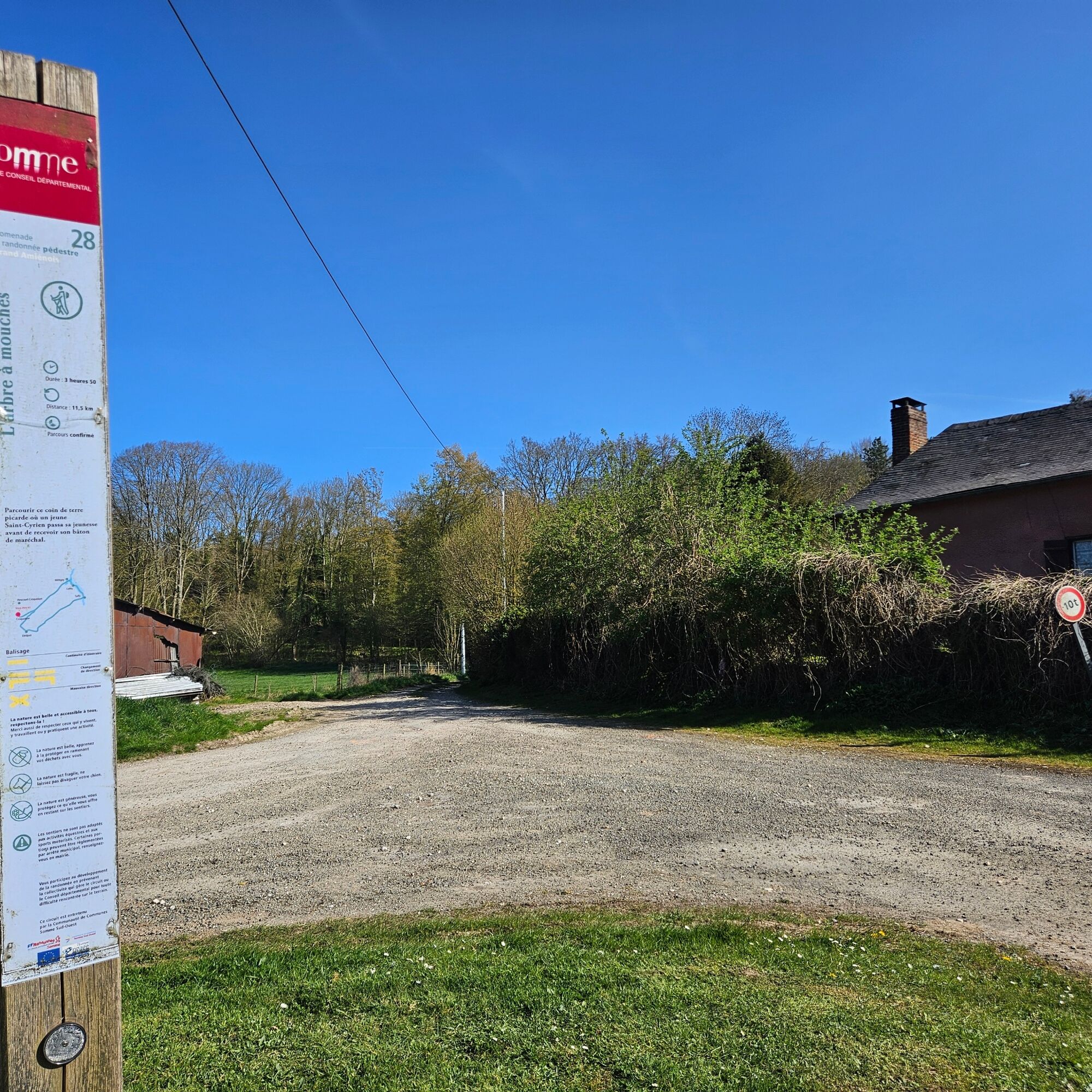
Explore this corner of Picardy land where a young Saint-Cyrien spent his youth before receiving his marshal's baton.The name of this route comes from the nickname given to the hamlet of Tailly. This name...
Explore this corner of Picardy land where a young Saint-Cyrien spent his youth before receiving his marshal's baton.
The name of this route comes from the nickname given to the hamlet of Tailly. This name would come from the many bees, called honey flies, present in this area because of the many lime trees.
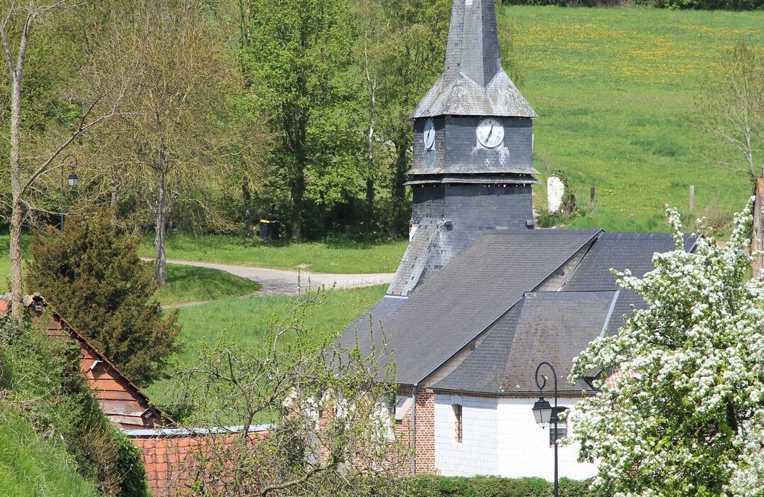
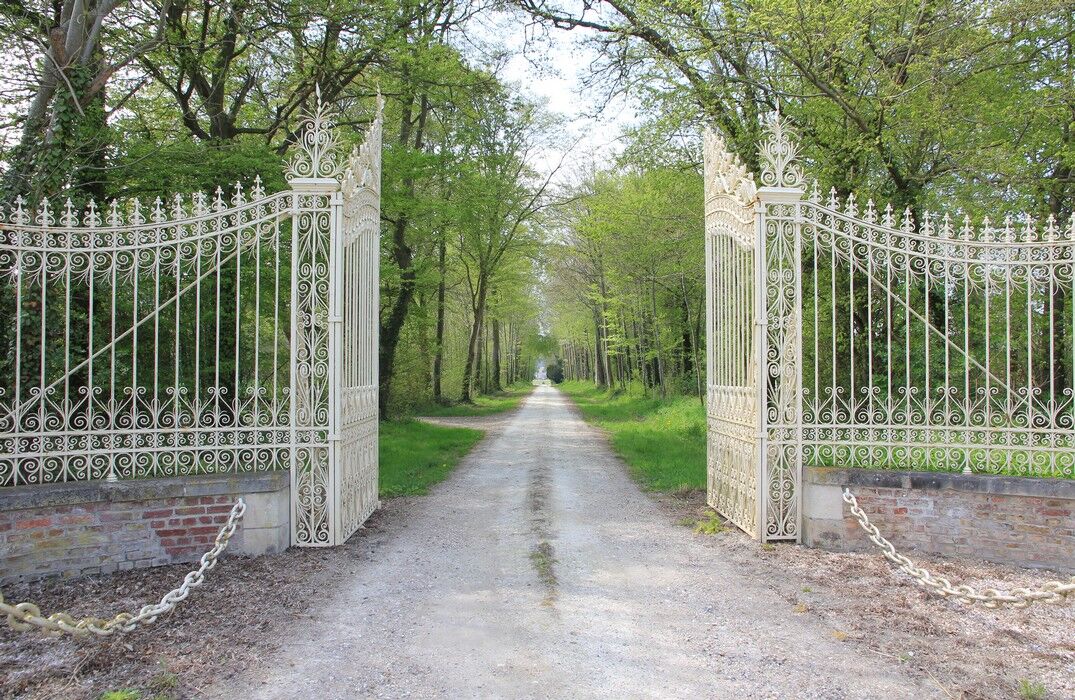
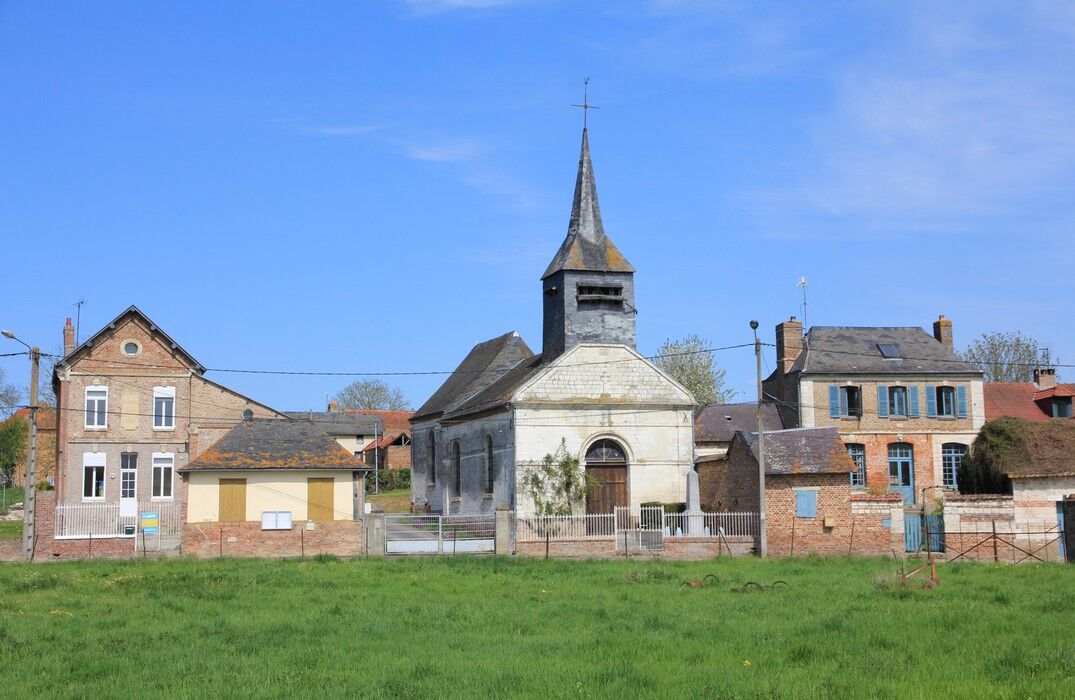
From the parking lot, take the GR 125 (a long-distance hiking trail marked in red and white) towards the Croquoison wood. Leave the GR trail then follow the wood towards Etréjust, with its 18th-century church and its 17th-century castle. Further along, retake the GR which climbs towards the Belloy wood and then crosses it. Continue through the plain to the end of the Alouette wood. Leave the GR again to cross the wood and then follow the park of the Tailly castle. Cross the small bridge, then take the path towards Laleu to continue towards Métigny. Retrace the route to return to the starting point.


Oblíbené prohlídky v okolí
-
The Gard Abbey
světloTuristika 16.6 km -
Vimeu to Airaines greenway
světloTuristika 21.0 km -
Walk at the Cavins marsh
světloTuristika 3.13 km -
Belloy - La Chaussée
světloTuristika 10.4 km -
The Voyeuls route
světloTuristika 4.45 km -
The mill of Frucourt
světloTuristika 9.03 km -
Circuit des Prés volés
světloTuristika 8.90 km -
Watercourse circuit
světloTuristika 4.91 km -
Circuit des Iris
světloTuristika 7.40 km -
The larris of Le Quesne and Mont d'Arguël
světloTuristika 1.51 km
Pěší turistika a stopování


Nenechte si ujít nabídky a inspiraci pro vaši příští dovolenou
Vaše e-mailová adresa byl přidán do poštovního seznamu.





