




The Malaquettes

From the heights of this green site, discover a valley dotted with ponds and marshes bordered by the Somme Canal.Starting from Cappy, cross the lifting bridge then pass in front of the Saint-Nicolas church...
From the heights of this green site, discover a valley dotted with ponds and marshes bordered by the Somme Canal.
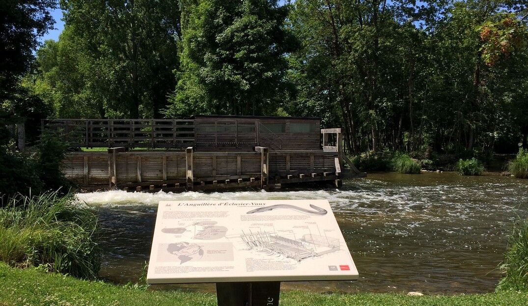
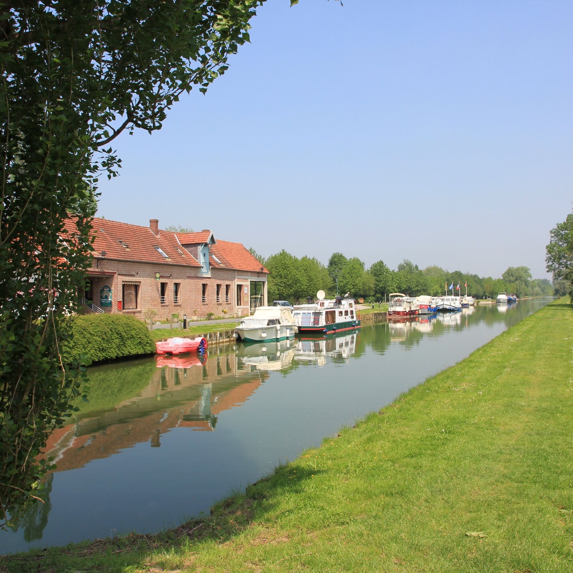
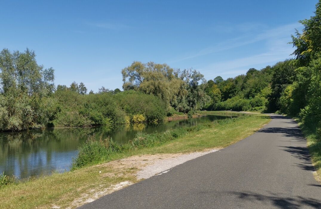
Starting from Cappy, cross the lifting bridge then pass in front of the Saint-Nicolas church with its Romanesque nave and its watchtower-style bell tower from 1654, which is listed. Further on, follow the path along the embankment ridge towards Malaquettes. Then follow the path on the embankment overlooking the valley. In Eclusier-Vaux, there is a 19th-century church, a Virgin cross and its chapel, as well as the famous eel traps or eel nets. The return to Cappy is done by the towpath.


Oblíbené prohlídky v okolí
-
GR800 Somme Trail
světloTuristika 224.6 km -
GR de Pays: Battle of the Somme
světloTuristika 104.9 km -
5.0
The Montagne de Vaux
světloTuristika 8.66 km -
An International Memory - Cycling Tours - France World War Heritage
světloMountainbike 51.5 km -
The Somme Valley Cycle Route
světloJízda na kole 190.4 km -
La véloroute de la mémoire
středníJízda na kole 91.8 km -
The Meanders of Memory - Bike Rides - France World War Heritage
světloMountainbike 132.1 km -
The Vallée de Somme Cycle Route
světloTuristika 190.4 km -
Sur les pas de Blaise Cendrars
světloTuristika 7.90 km -
From Péronne to Froissy in the Vallée de Somme
světloTuristika 20 km
Pěší turistika a stopování


Nenechte si ujít nabídky a inspiraci pro vaši příští dovolenou
Vaše e-mailová adresa byl přidán do poštovního seznamu.


