






The Montagne de Vaux

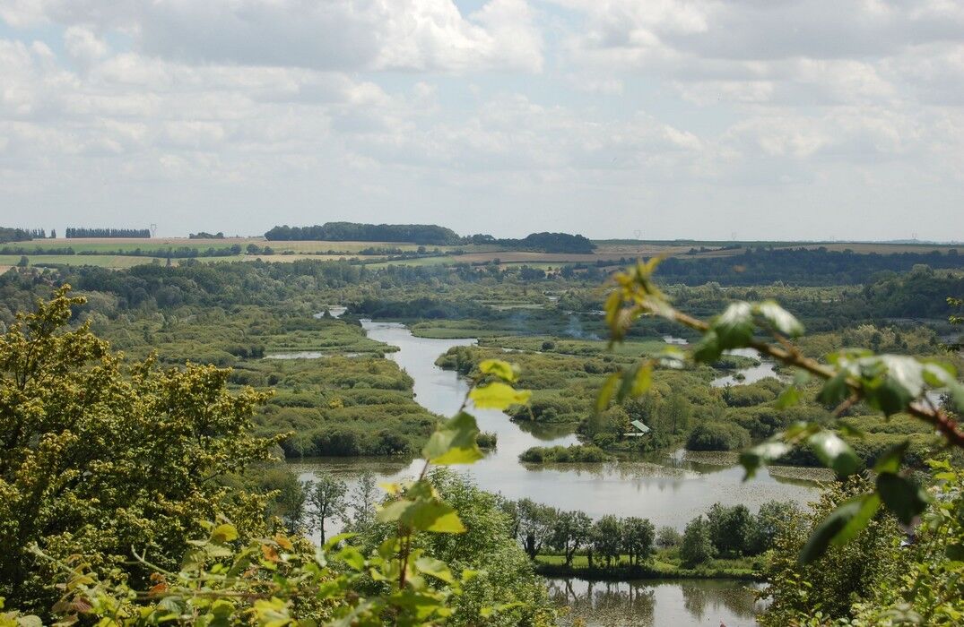
From the viewpoint, admire the panorama offered by the Haute-Somme valley, with its ponds and marshes.From the parking lot, follow the woods towards Vaux, a hamlet of Éclusier. Climb the path towards Bois...
From the viewpoint, admire the panorama offered by the Haute-Somme valley, with its ponds and marshes.
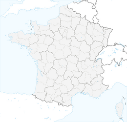
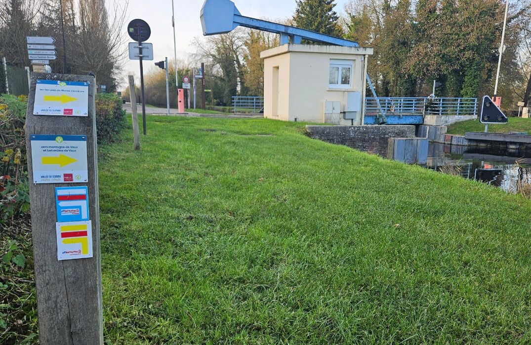
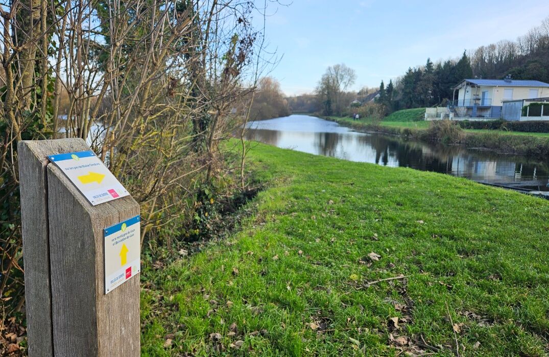
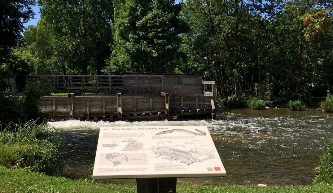
From the parking lot, follow the woods towards Vaux, a hamlet of Éclusier. Climb the path towards Bois Fauvel. Follow it along and then cross it. Take the road towards Éclusier-Vaux, with its 19th-century Sainte Marie-Madeleine church, its lifting bridge over the canalized Somme river, and its anguilera (a wooden trap equipped with grids and sluices acting as a fish trap). Take the path along the ponds, marshes, and groves to return to Vaux. Pass in front of the church whose arcades are believed to come from an old priory founded by Saint Vaast, the first bishop of Arras. Legend also says that the hollowed stone still visible was used to give water to a bear that became his companion. Further on, follow the larris of Montagne de Vaux. The larris is the Picard name for a limestone hillside which, benefiting from the grazing of goats and sheep reintroduced here on the site, offers a fauna and flora characteristic of the Mediterranean. Climb the path through the Quoquelins woods then towards the Bois de Vaux to return to the starting point.



Oblíbené prohlídky v okolí
-
GR800 Somme Trail
světloTuristika 224.6 km -
GR de Pays: Battle of the Somme
světloTuristika 104.9 km -
An International Memory - Cycling Tours - France World War Heritage
světloMountainbike 51.5 km -
The Somme Valley Cycle Route
světloJízda na kole 190.4 km -
La véloroute de la mémoire
středníJízda na kole 91.8 km -
The Meanders of Memory - Bike Rides - France World War Heritage
světloMountainbike 132.1 km -
The Vallée de Somme Cycle Route
světloTuristika 190.4 km -
Sur les pas de Blaise Cendrars
světloTuristika 7.90 km -
From Péronne to Froissy in the Vallée de Somme
světloTuristika 20 km -
From Frise to Froissy
světloKajak / Kánoe 8.10 km
Pěší turistika a stopování


Nenechte si ujít nabídky a inspiraci pro vaši příští dovolenou
Vaše e-mailová adresa byl přidán do poštovního seznamu.





