






The larris of Saint-Aubin-Rivière

Head southwest from the Somme, into the Liger valley for a refreshing walk with Mediterranean colors and scents, discovering the larris of Saint-Aubin-Rivière.The starting point of the walk is located...
Head southwest from the Somme, into the Liger valley for a refreshing walk with Mediterranean colors and scents, discovering the larris of Saint-Aubin-Rivière.
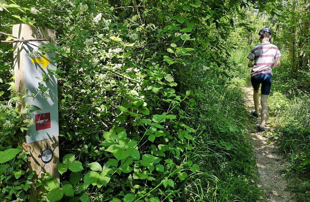
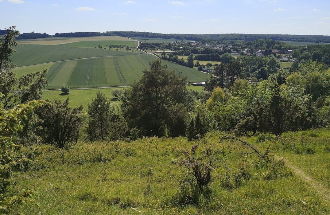
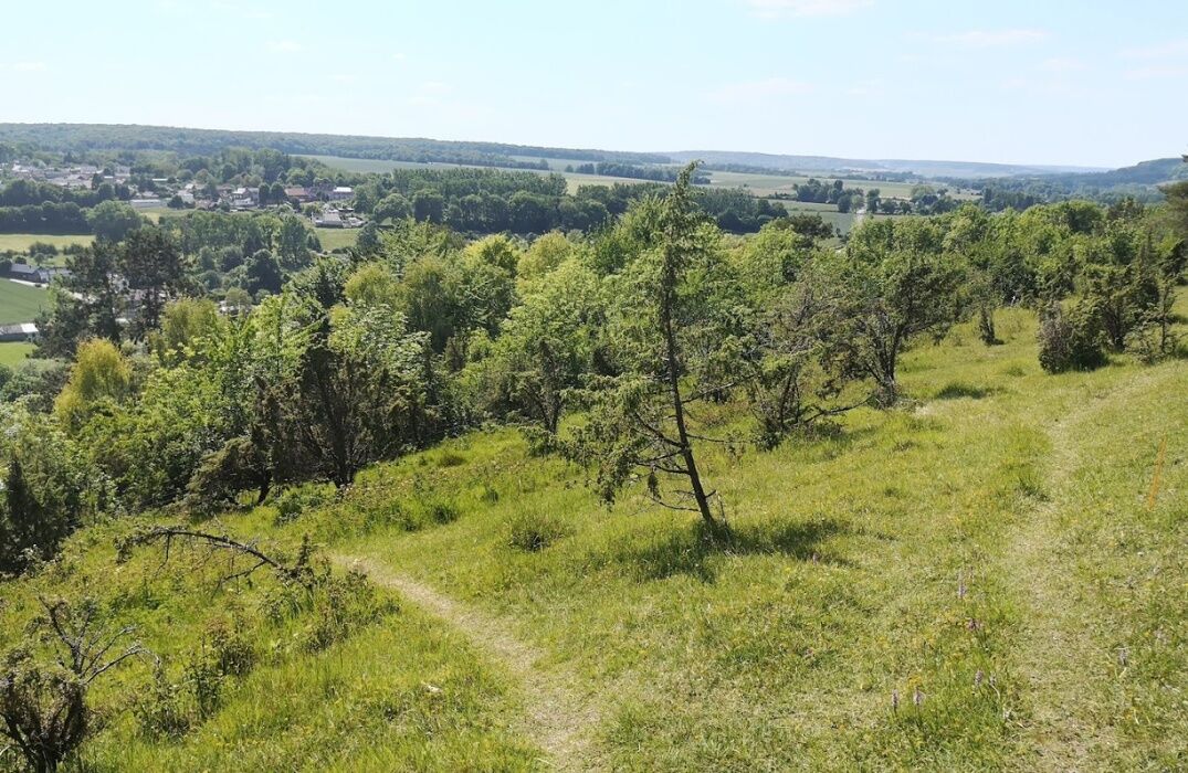
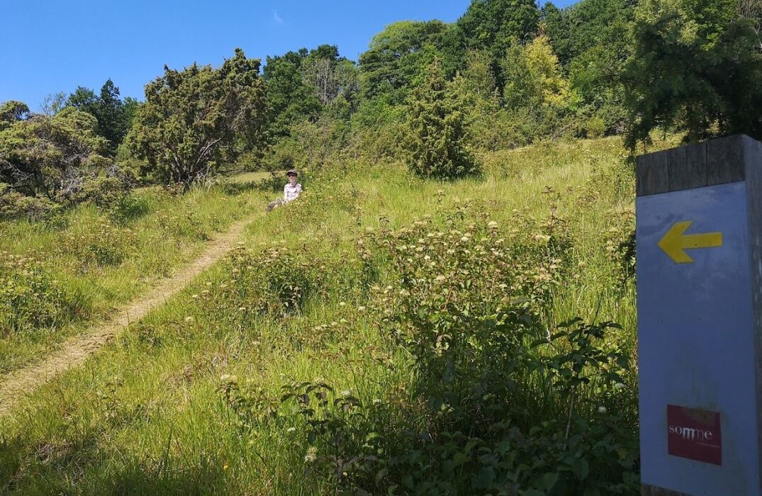
The starting point of the walk is located along the road connecting Saint-Aubin-Rivière to Andainville, just after the bridge over the Liger. Then take the path that starts on the right after the farm (water mill). The trail climbs in switchbacks, covered under maples and beeches. A little further, to access the enclosure where the sheep graze, you will need to cross the gate pass. Climbing a bit more, you reach the most remarkable part of the larris. You reach the first viewpoint over the village, then a second one nearby, on the edge of the ledge. From there, you overlook the Liger valley. After this stop, go back down by taking the steep path to reach the gate pass again and return to the starting point.


Oblíbené prohlídky v okolí
-
Vimeu to Airaines greenway
světloTuristika 21.0 km -
The Tuf Crosses: Sorel-en-Vimeu - Ercourt
světloSilniční kolo 54.7 km -
The larris of Le Quesne and Mont d'Arguël
světloTuristika 1.51 km -
The mill of Frucourt
světloTuristika 9.03 km -
The Liger loop
světloTuristika 9.75 km -
Crosses Route
světloSilniční kolo 41.6 km -
The fly tree
světloTuristika 14.6 km -
Chès Pailleuses (Loop A)
světloSilniční kolo 36.9 km -
Les larris de Blangiel
světloTuristika 2.08 km -
Chés Pailleuses (Loop B)
světloSilniční kolo 34.5 km
Pěší turistika a stopování


Nenechte si ujít nabídky a inspiraci pro vaši příští dovolenou
Vaše e-mailová adresa byl přidán do poštovního seznamu.





