







Lavin – Guarda

Úroveň obtížnosti: 2
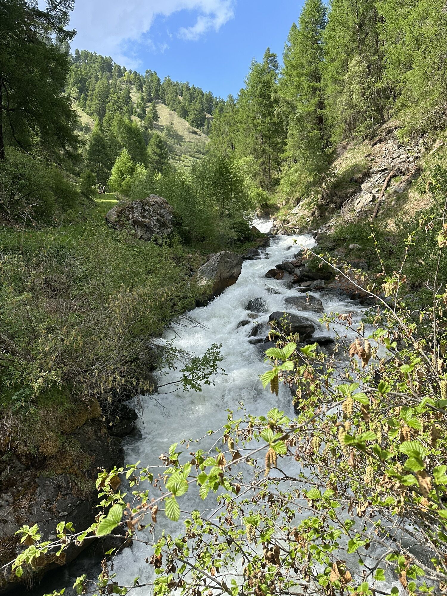
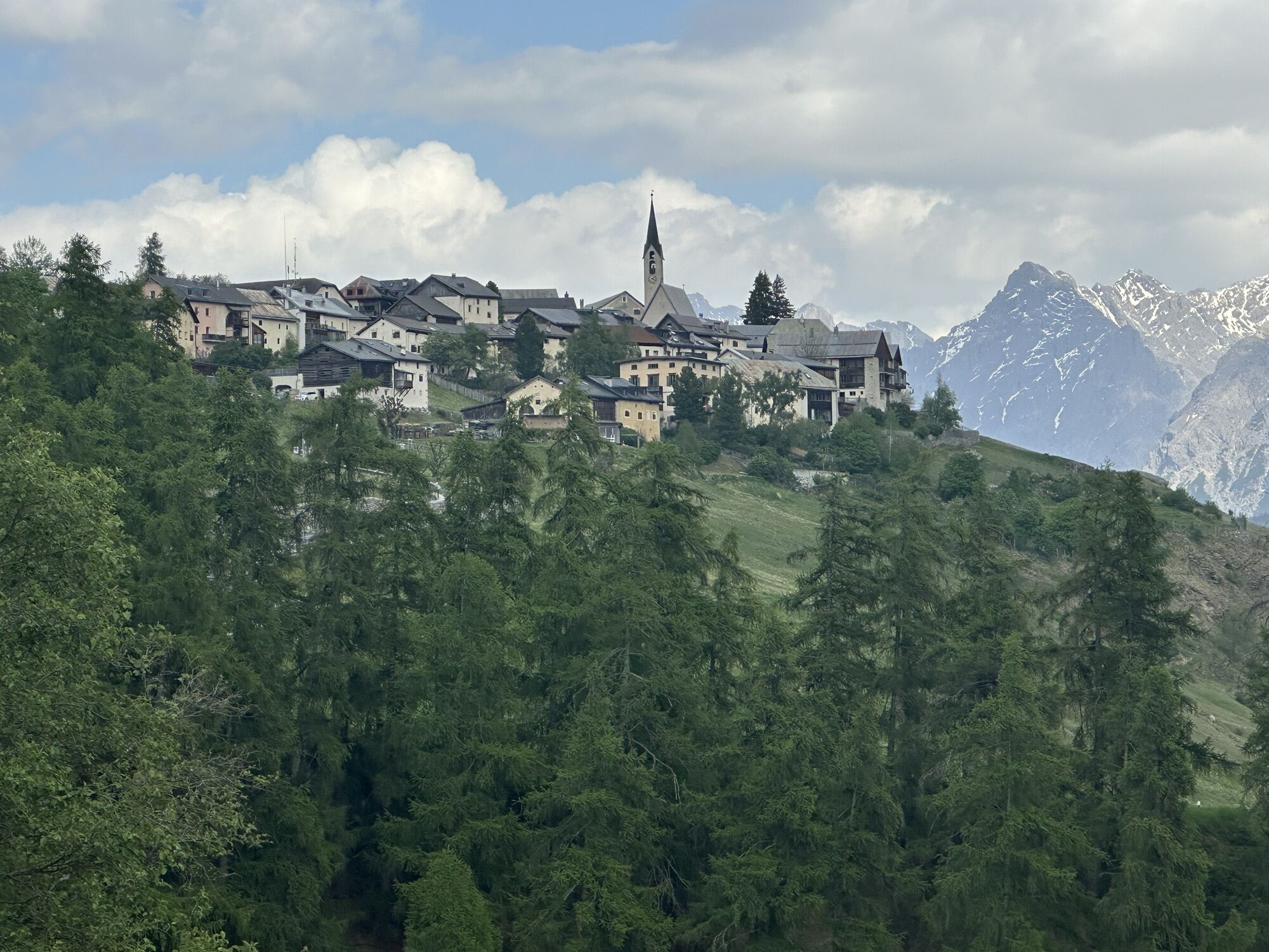
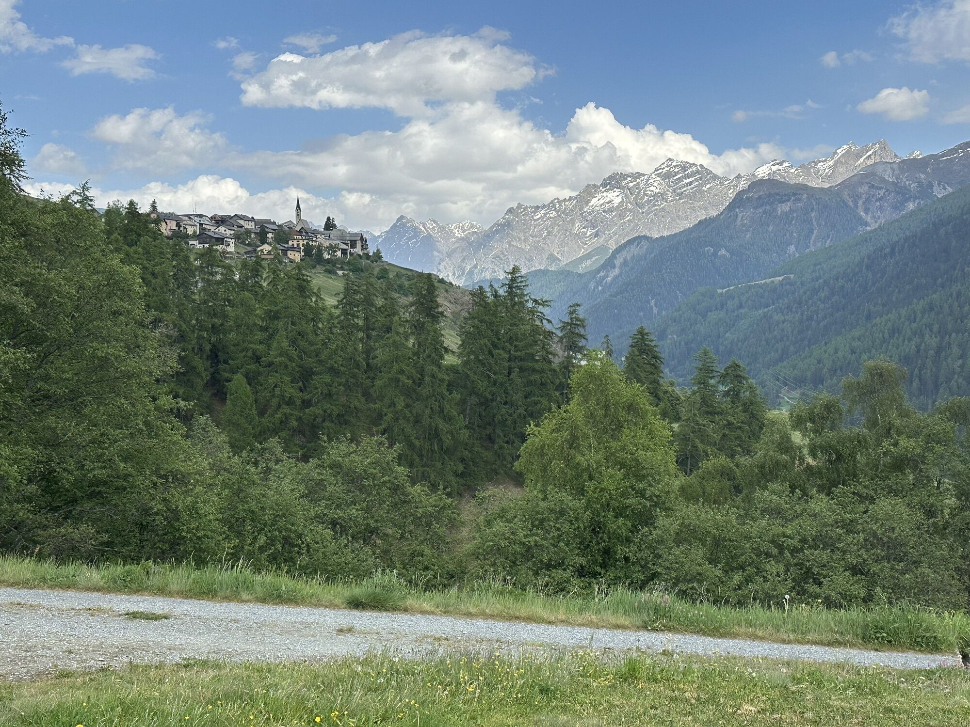
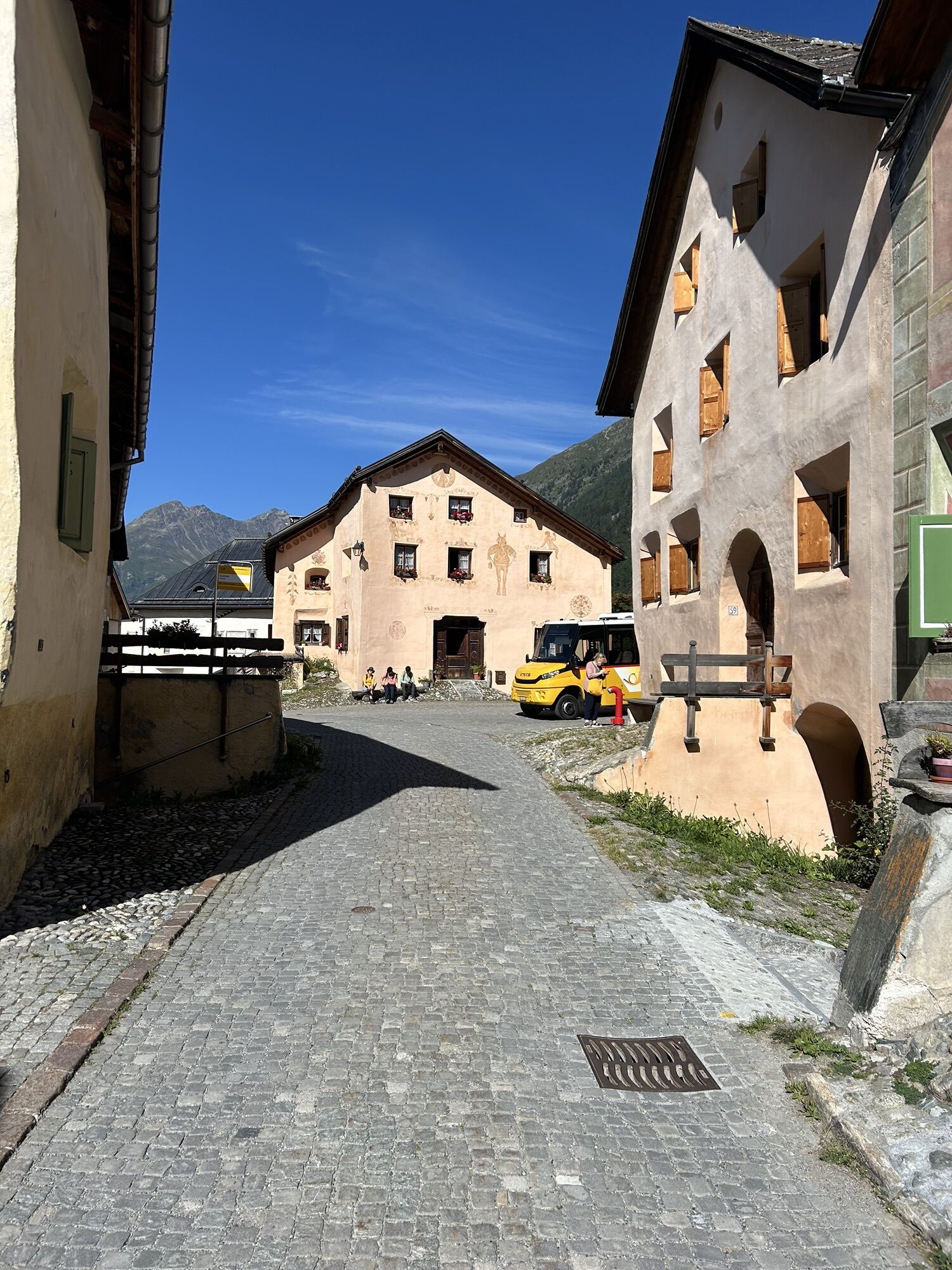
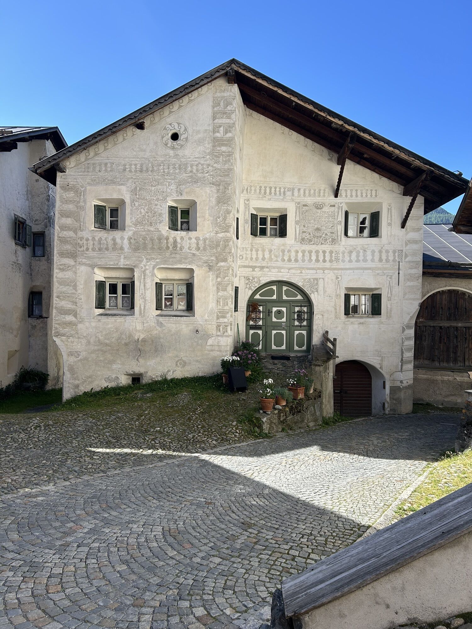
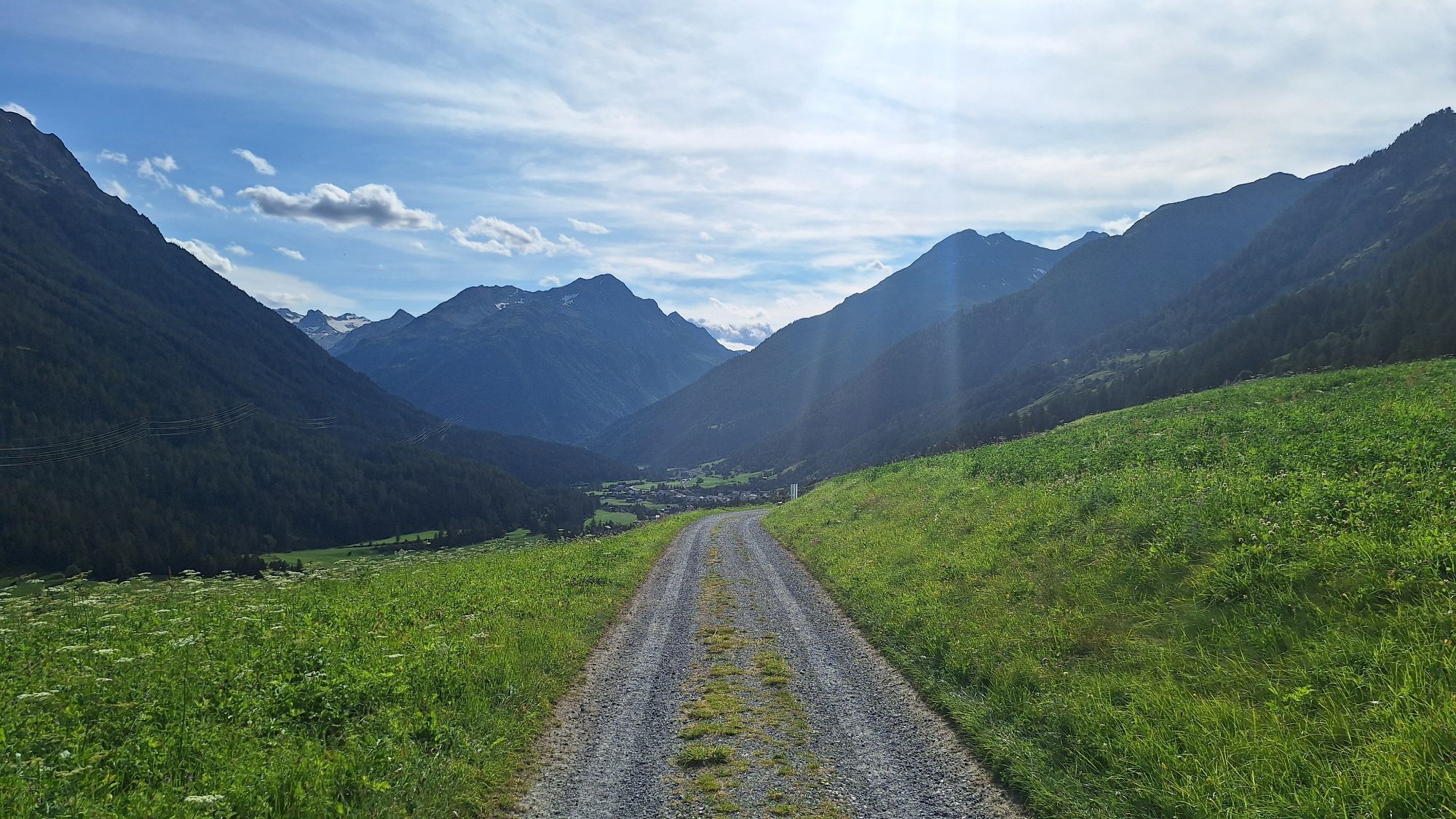
From the train station towards the church to the eastern village exit, the path leads to an underpass. This passes under the railway line and the Engadine road. The steady ascent first passes the last...
From the train station towards the church to the eastern village exit, the path leads to an underpass. This passes under the railway line and the Engadine road. The steady ascent first passes the last two farms of Lavin to the first hill where the path splits. Both paths lead to Guarda, the left continues with a steady incline, the right path is initially flat and goes straight for some curves following the hillside before it leads up a somewhat steeper climb merging back into the upper winter hiking trail. Almost exactly halfway between Lavin and Guarda (after a short forest section) lies the former settlement of Gonda. After another ascent over the terraced slopes, the path turns left to the bridge over the mountain stream Clozza, which at this point also forms the municipal boundary between the two large municipalities Zernez and Scuol. Afterwards, the path joins the road and leads to the entrance of Guarda.

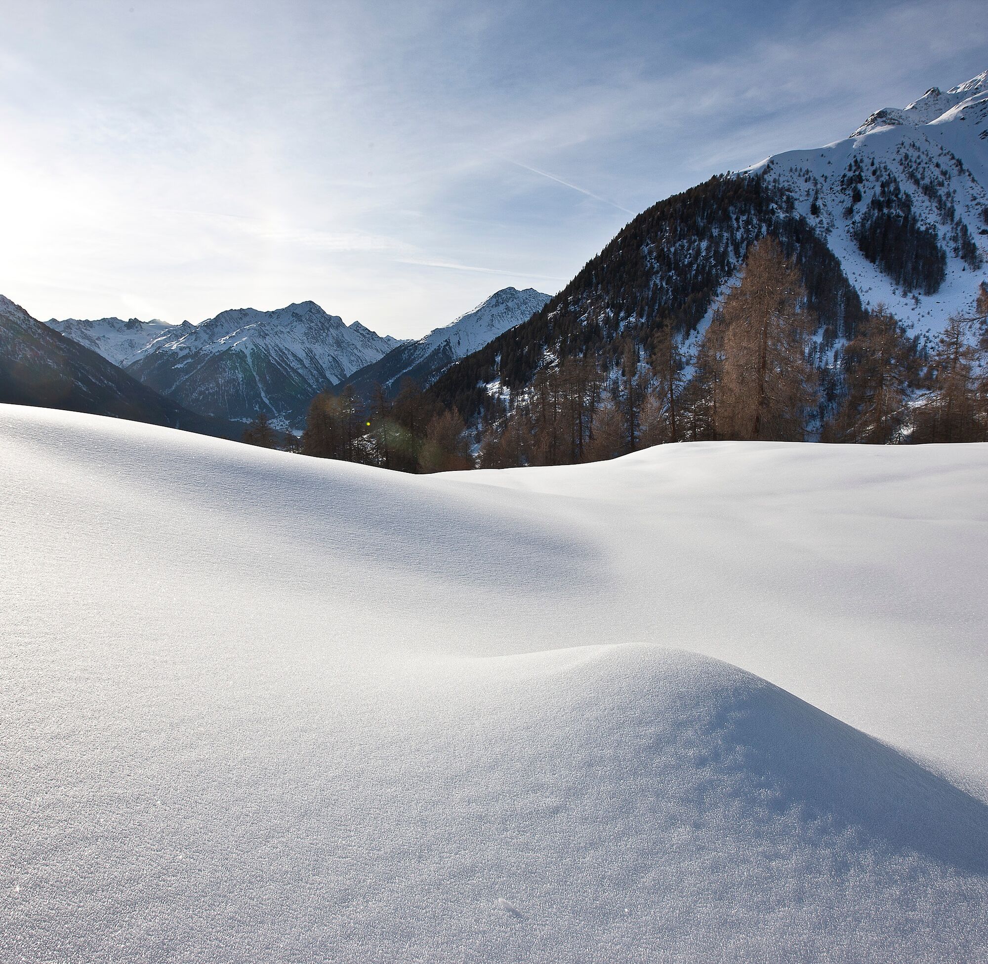

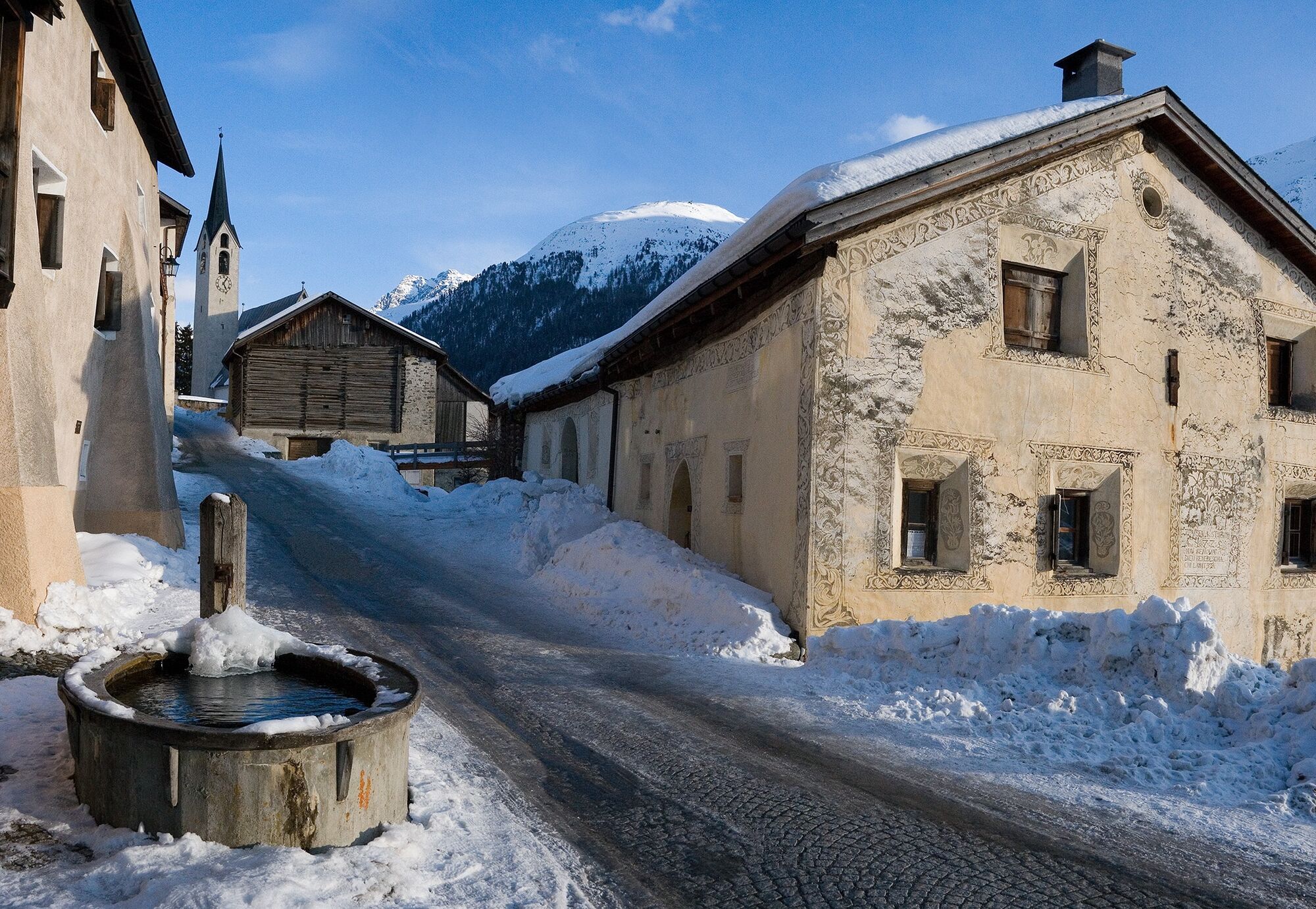
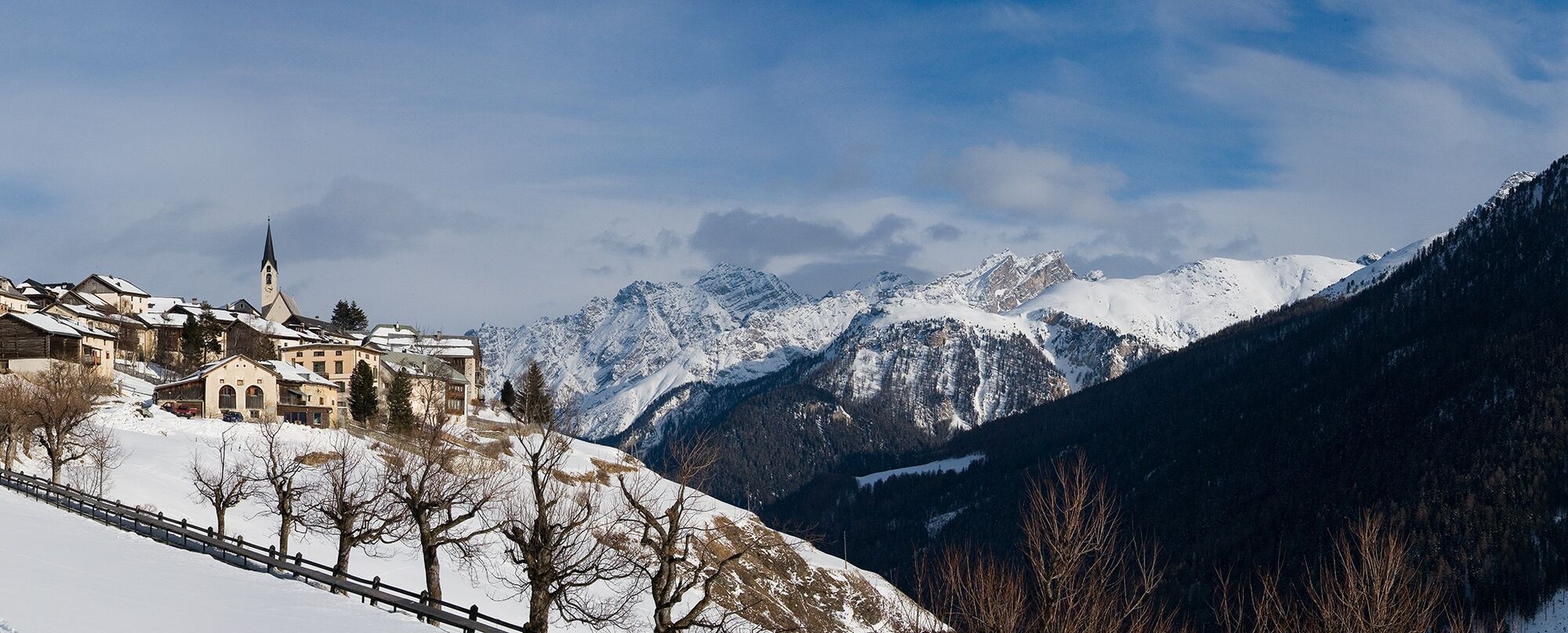

From Lavin train station through the underpass
Turn right onto the hiking trail towards Guarda
Past the ruins of Gonda
Continue following the path
Turn left and cross the stream
Continue to Guarda
Ano
Ano
High and sturdy hiking shoes or winter boots, warm clothing, sun protection, hiking poles, if needed: sled for the return trip.
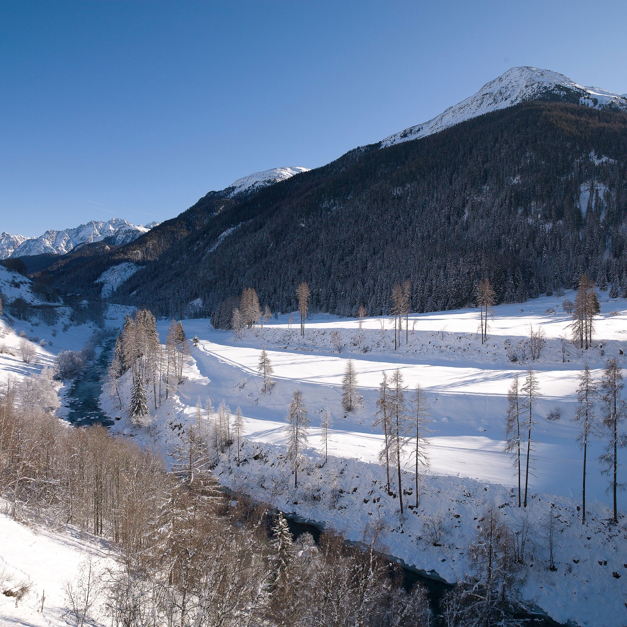
The path is groomed after every snowfall. Please observe the condition reports in the winter sports report. The route was rated under favorable weather conditions; the current snow and weather conditions must be checked before starting.
Warning: At the beginning of the path (after the last farm in Lavin) there is a barrier that closes the winter hiking trail during avalanche blasting. Under no circumstances enter the path when the barrier is closed.
Emergency numbers:
144 Emergency call, first aid
1414 Mountain rescue REGA
112 International emergency call
Lavin is located directly on the Engadine road H27 (2 minutes drive from Vereina south portal)
By Rhaetian Railway (from Chur, Landquart/Prättigau, from Upper Engadine or Scuol) to Lavin train station
Paid parking spaces at Lavin train station
2
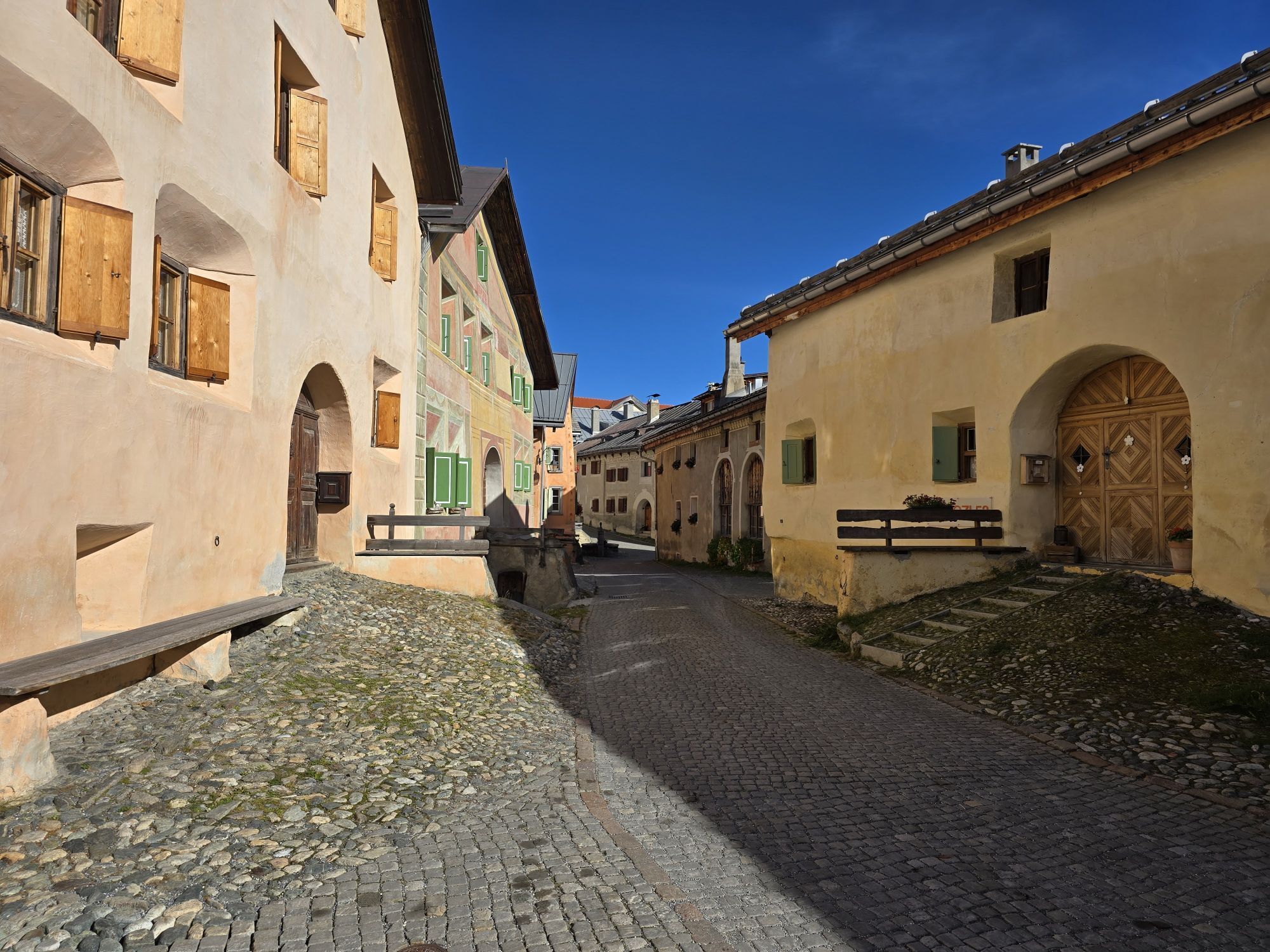
A walk around Guarda with the beautiful Engadine houses and squares is highly recommended.


Oblíbené prohlídky v okolí
-
4.8
Hiking trail Piz Buin - view
středníTuristika 14.4 km -
4.9
Jöriseen
středníTuristika 11.3 km -
4.7
Jamtal lodge
středníTuristika 19.6 km -
5.0
Großer Piz Buin (3.312m), Normalweg 2019 über Ochsentaler Gletscher
heavyVysokohorská turistika 24.1 km -
4.3
National Park: Margunet
světloTuristika 7.76 km -
4.8
National park: Zernez – Munt Baselgia – Macun lakes – Alp Zeznina – Lavin
heavyTuristika 22.9 km -
3.7
Bielerhöhe - Vermuntkopf - Bielerhöhe
středníTuristika 17 km -
4.8
Silvretta Stausee
světloTuristika 6.22 km -
5.0
Ascent of Hohes Rad and stop at the Wiesbadener Hut
heavyTuristika 15.8 km -
5.0
National Park: Chamanna Cluozza
středníTuristika 8.37 km
Pěší turistika a stopování


Nenechte si ujít nabídky a inspiraci pro vaši příští dovolenou
Vaše e-mailová adresa byl přidán do poštovního seznamu.





