







Via Engiadina long-distance hiking trail (winter)

Úroveň obtížnosti: 3
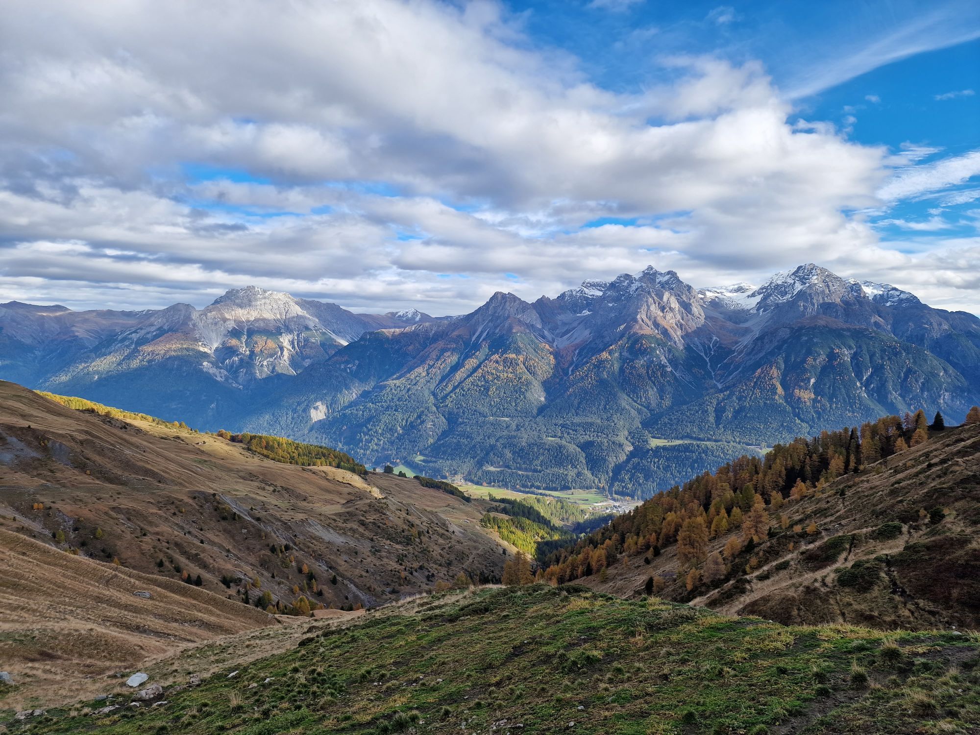
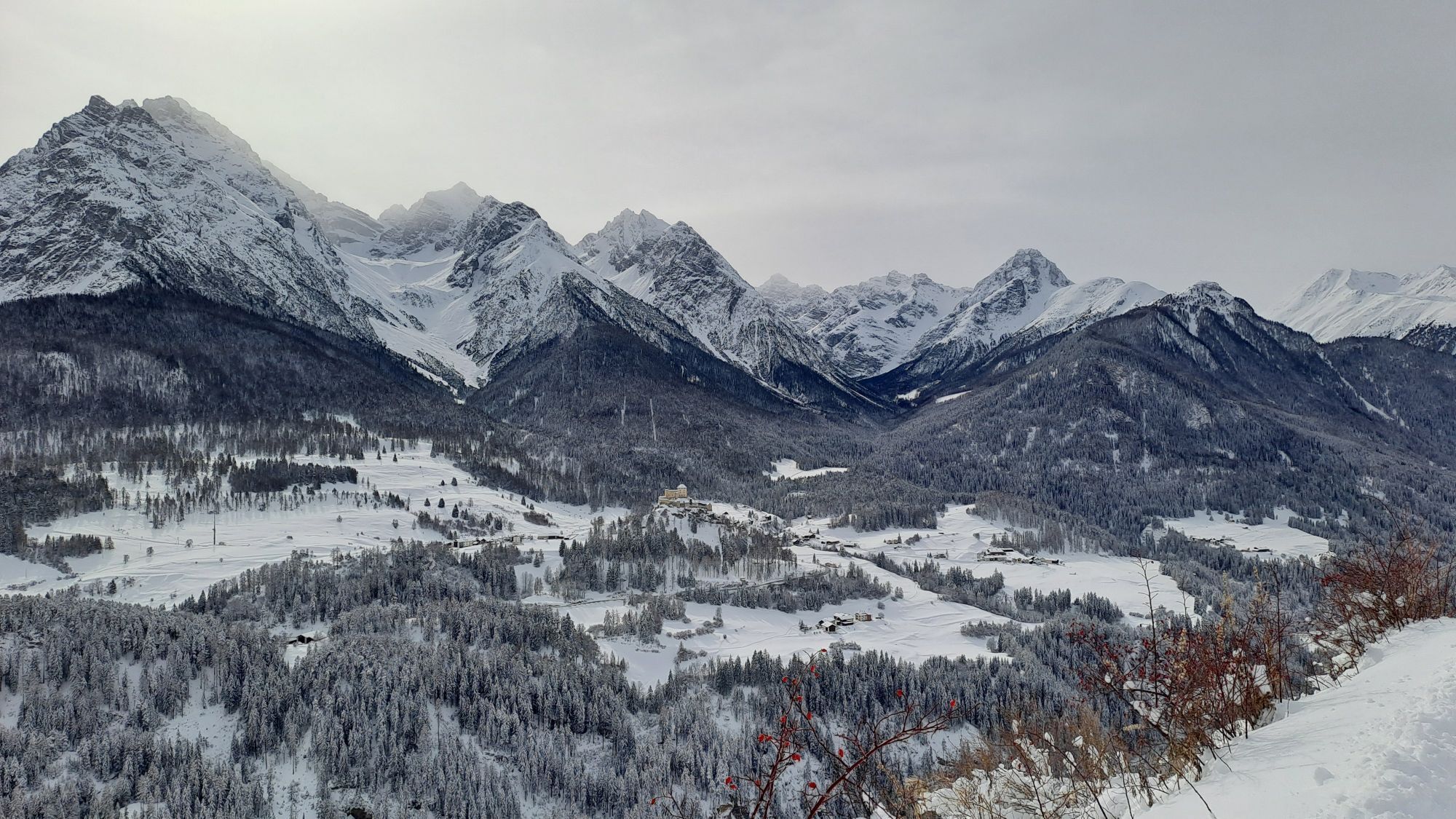
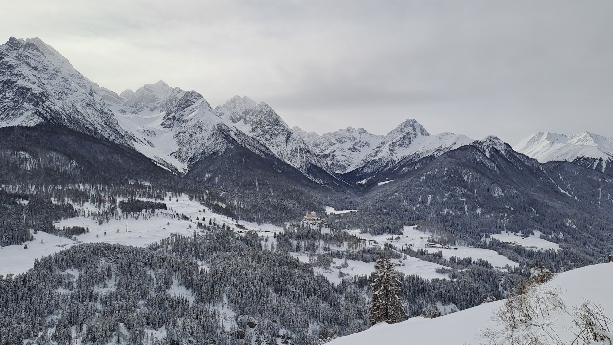
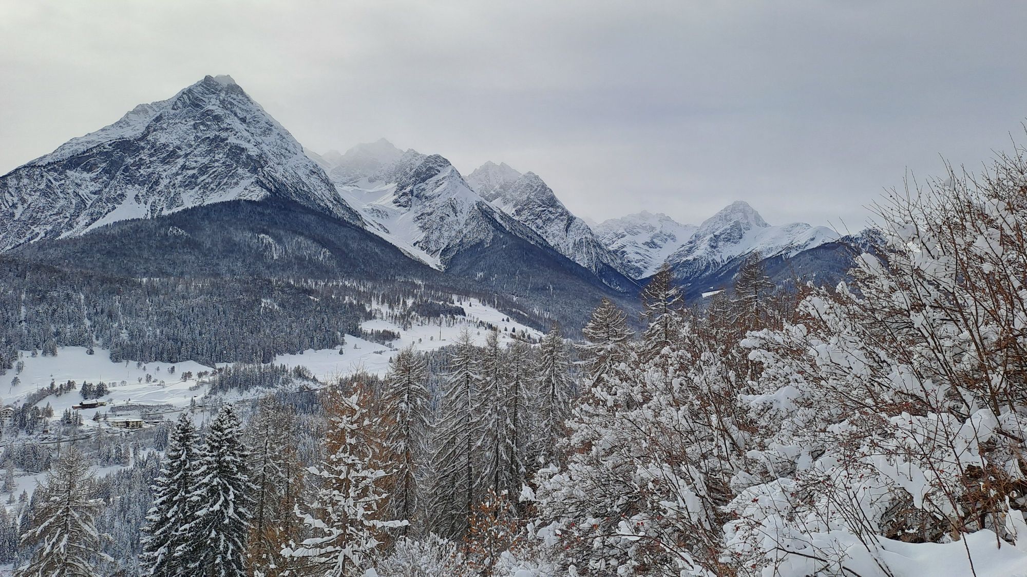
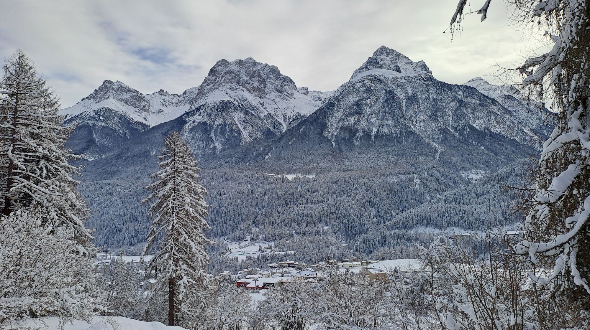
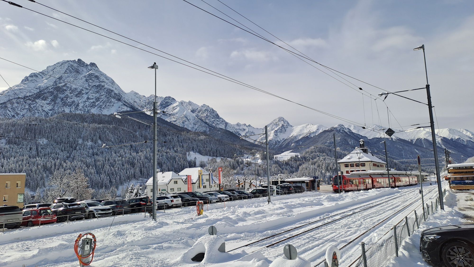
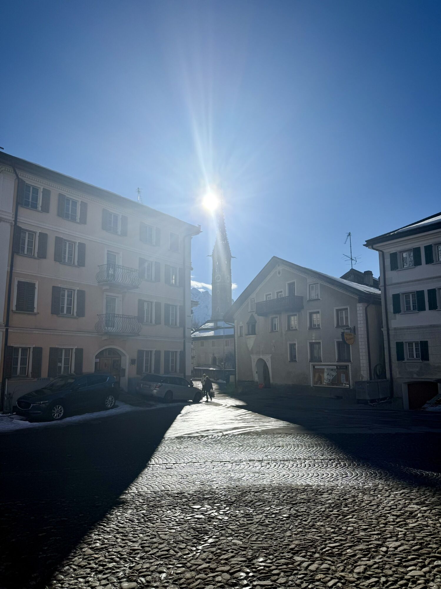
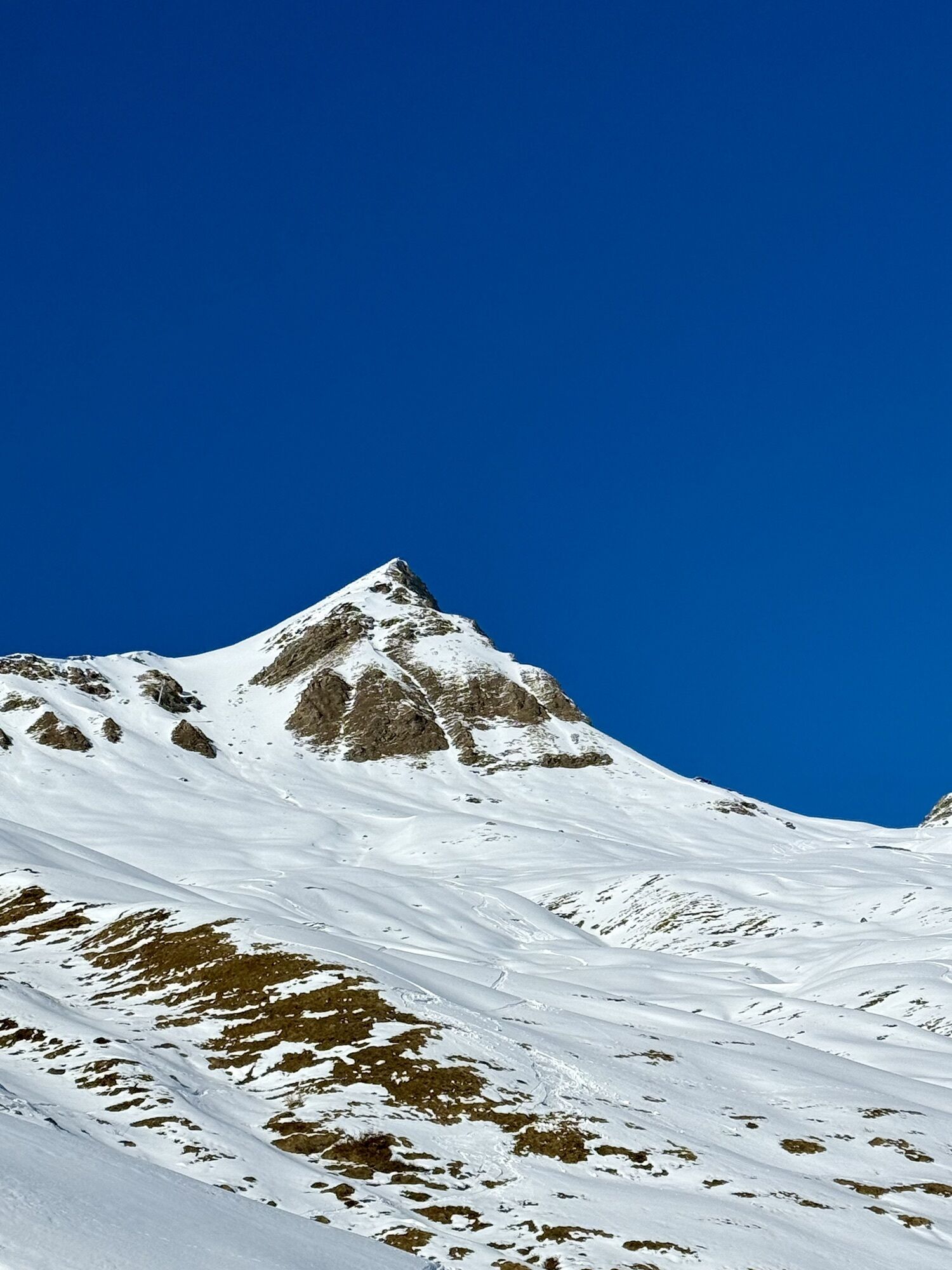
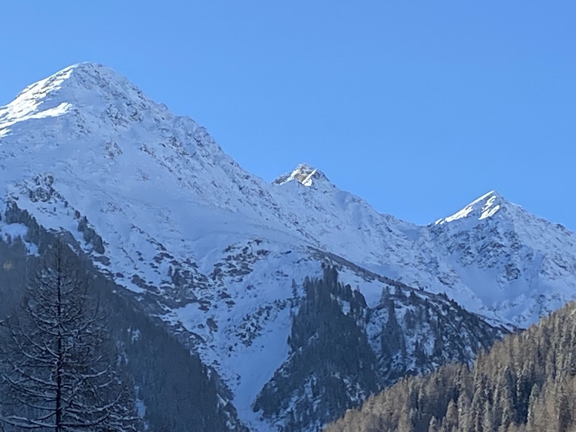
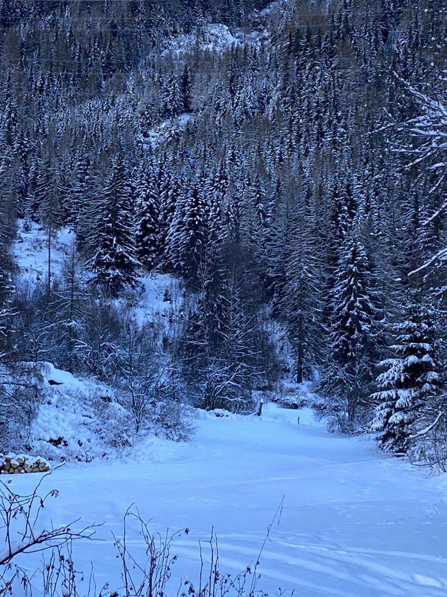
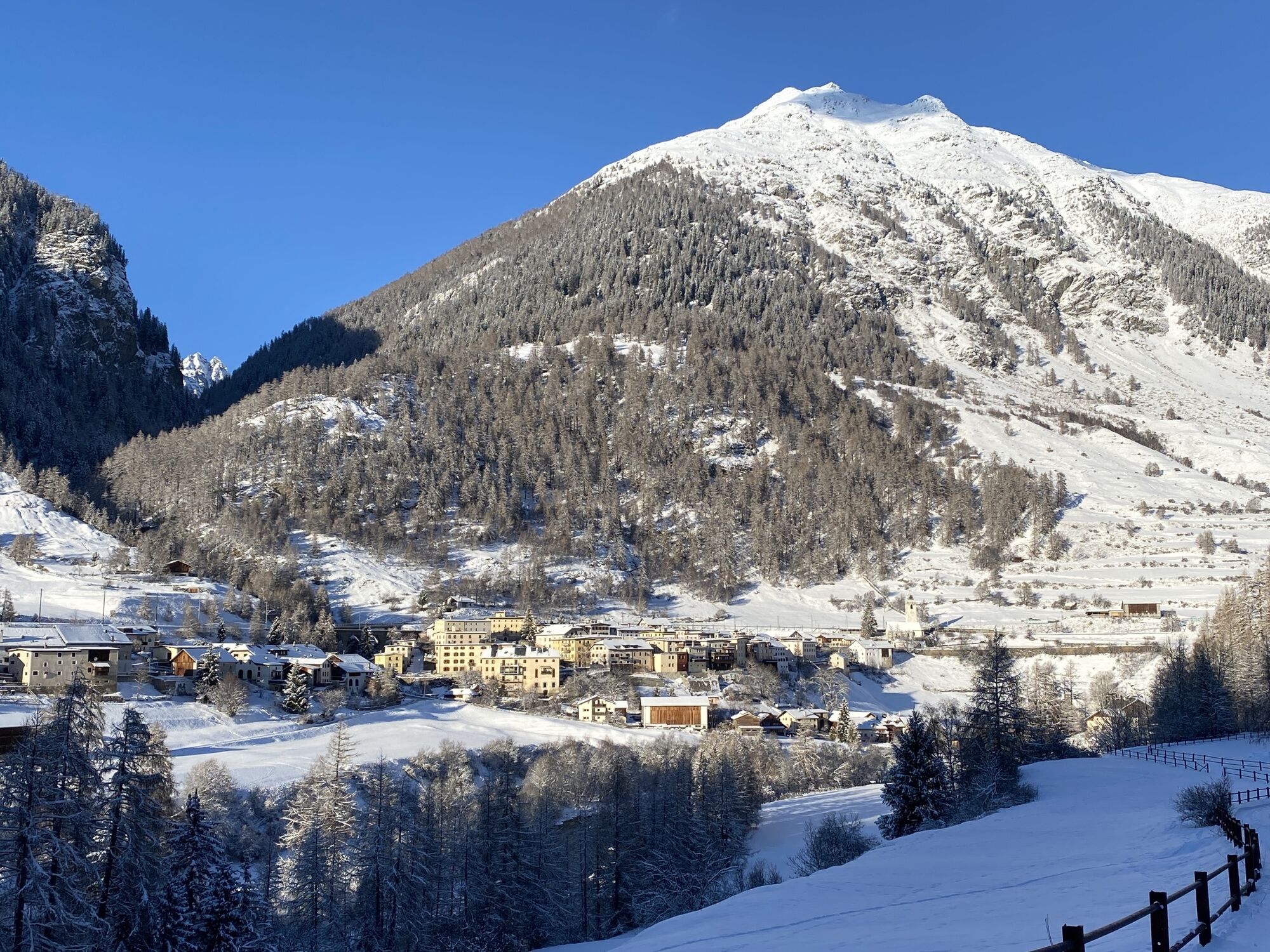
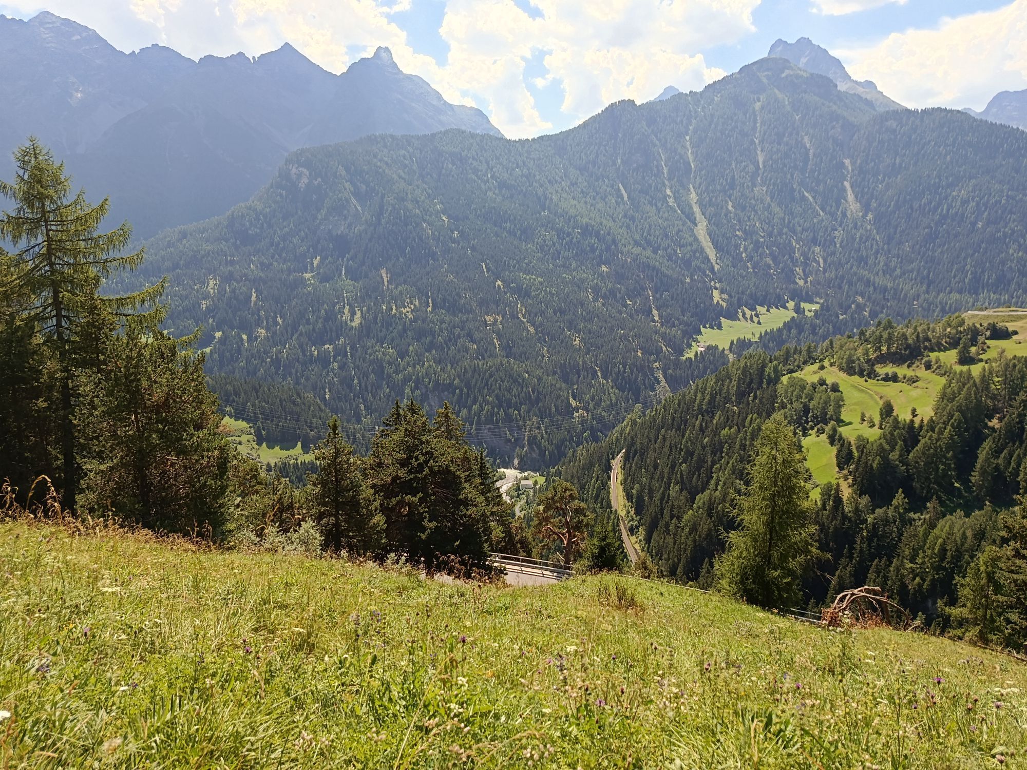
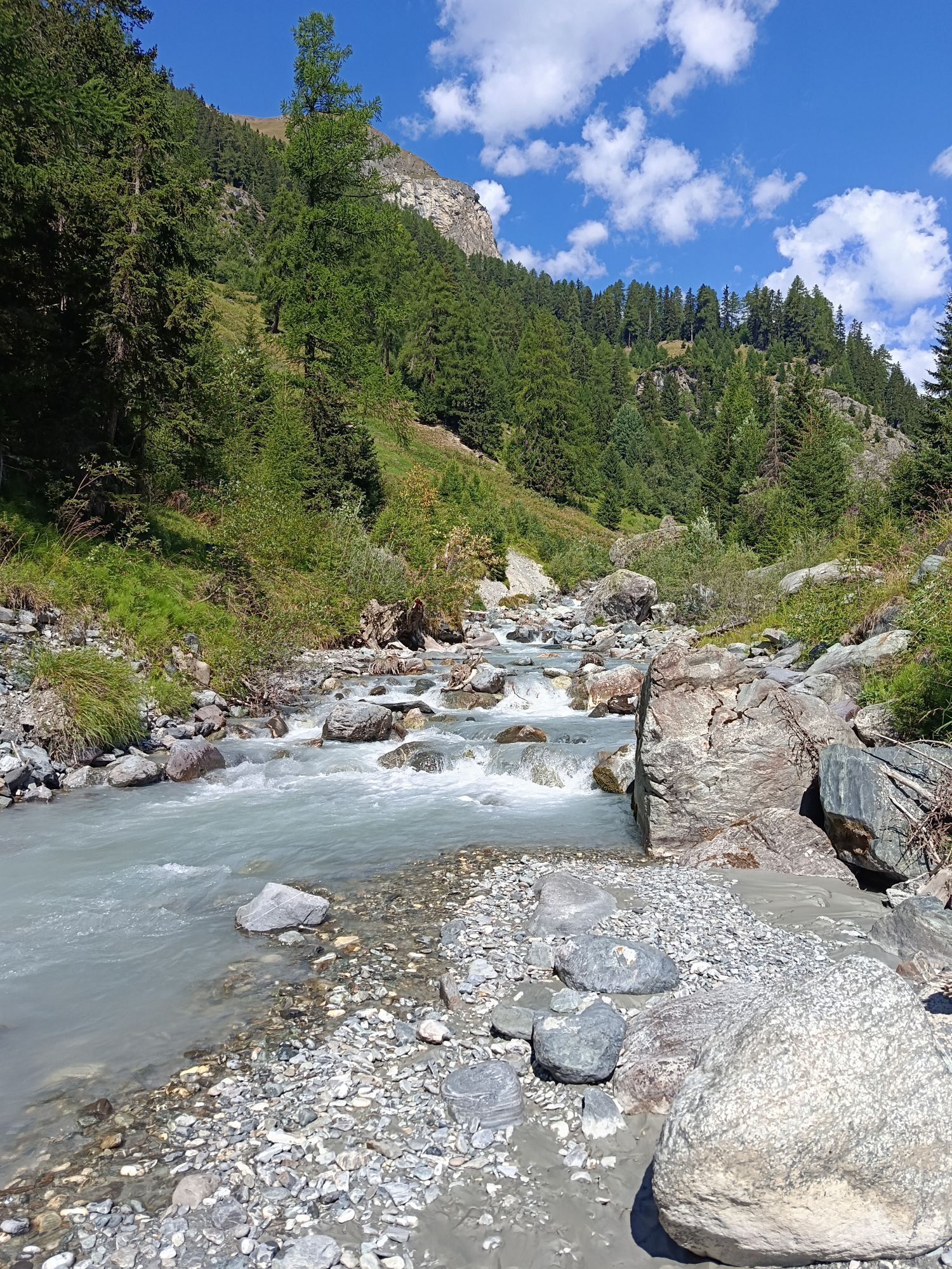
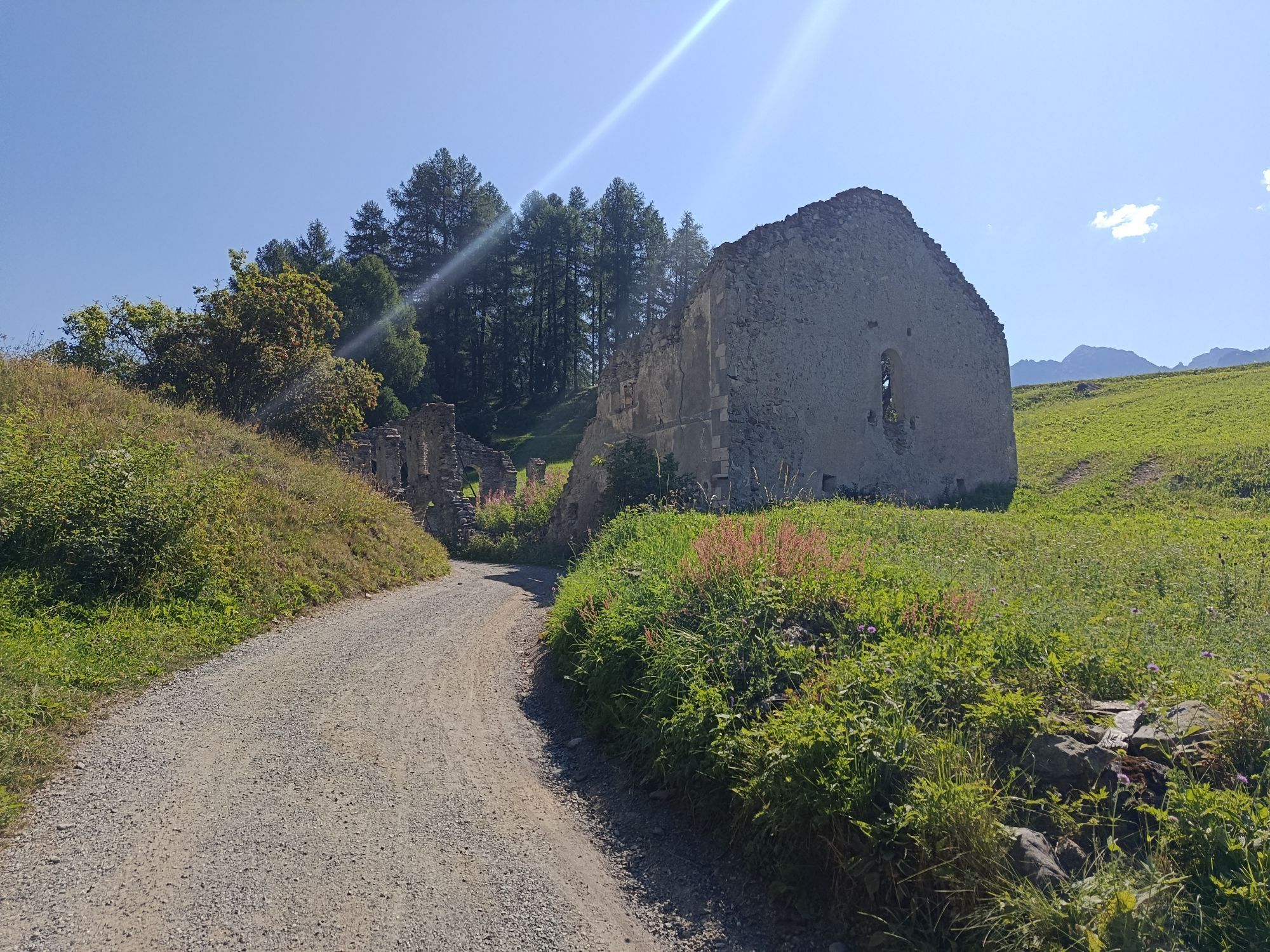
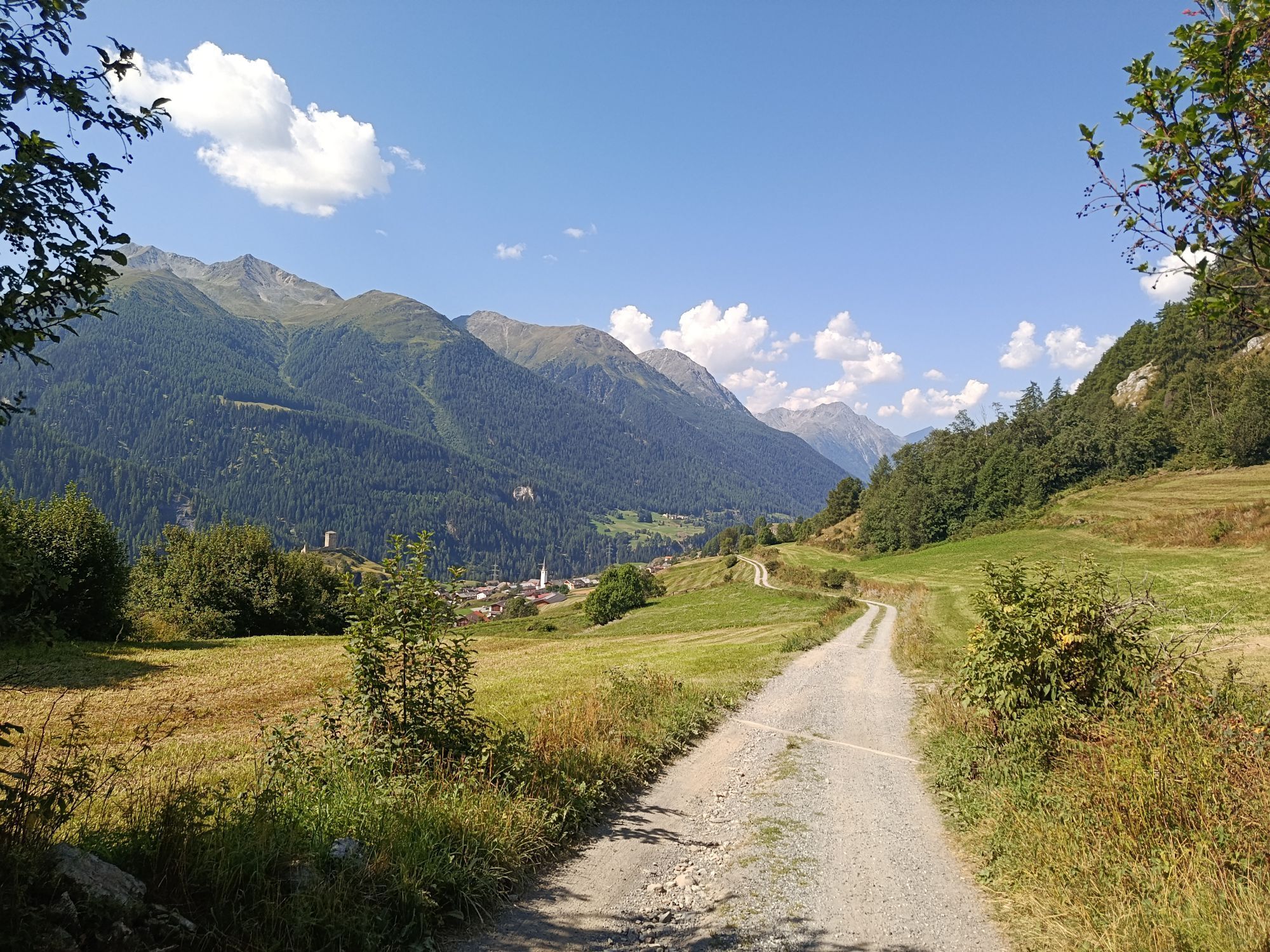
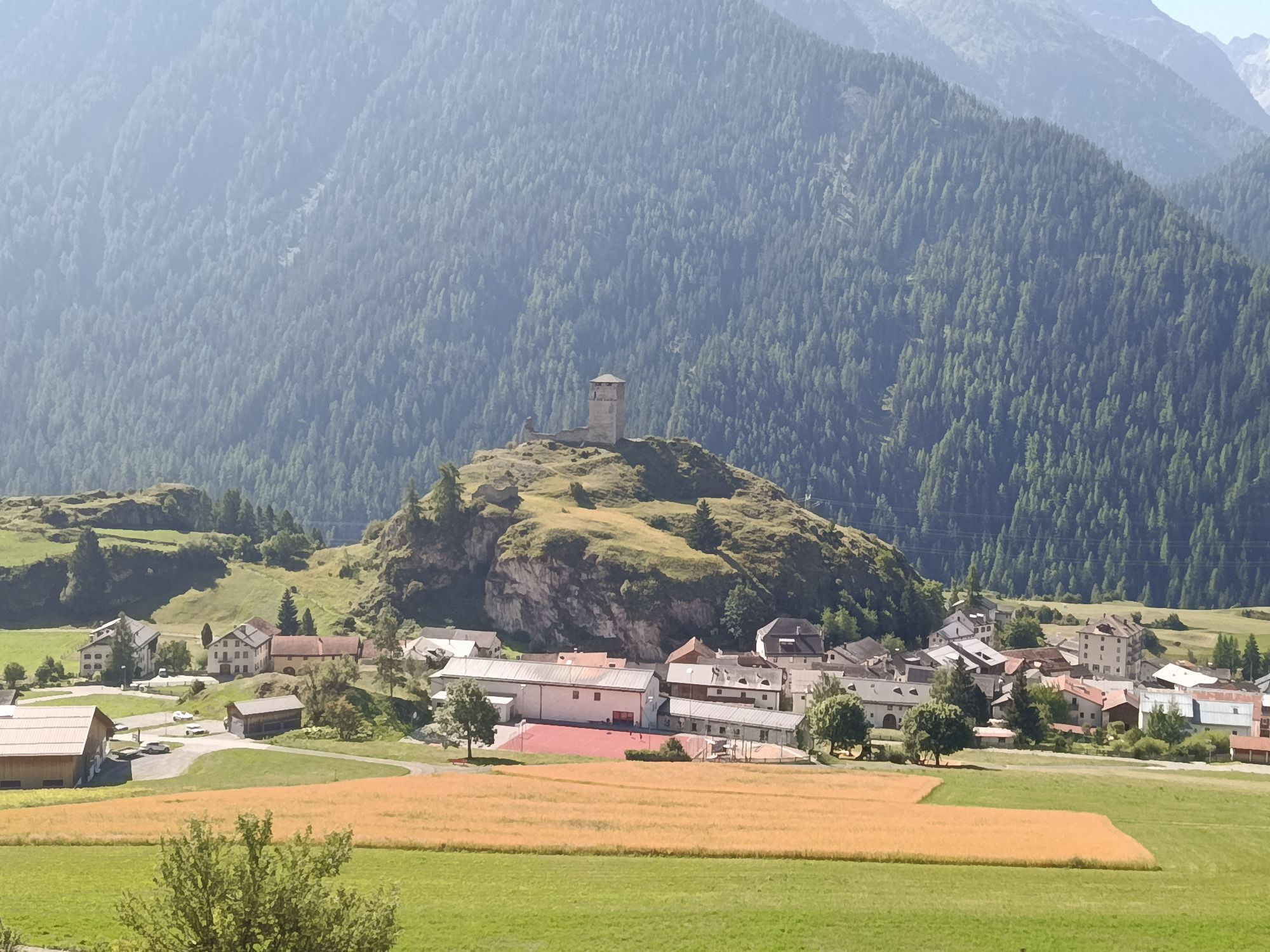
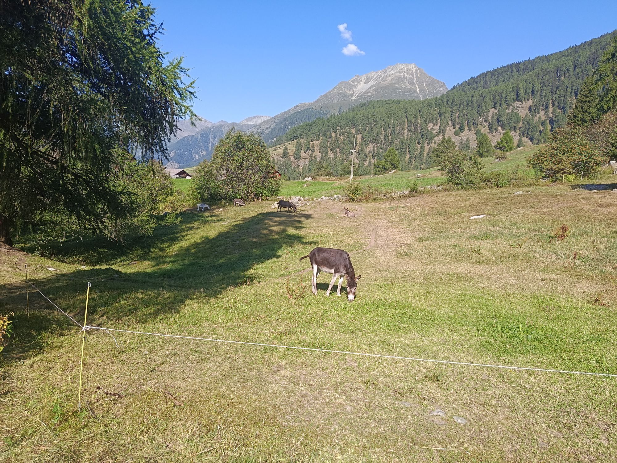
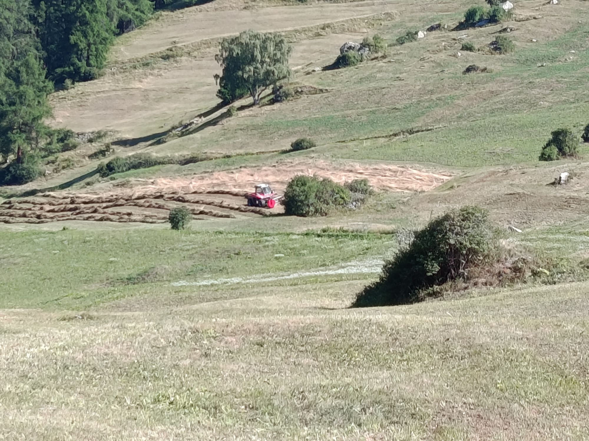
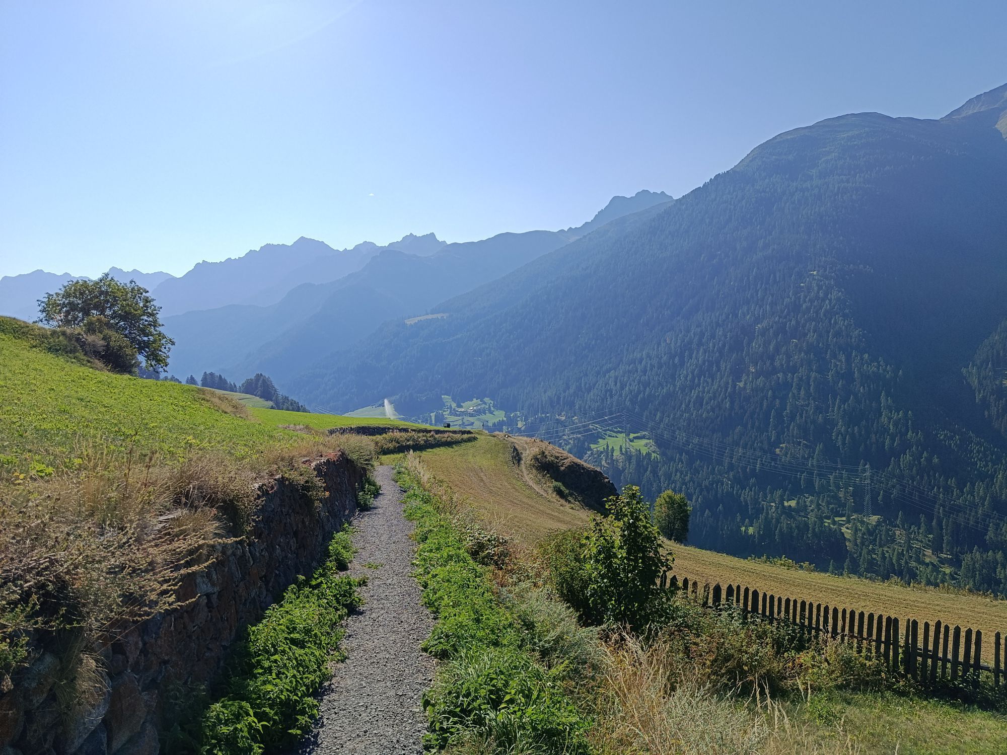
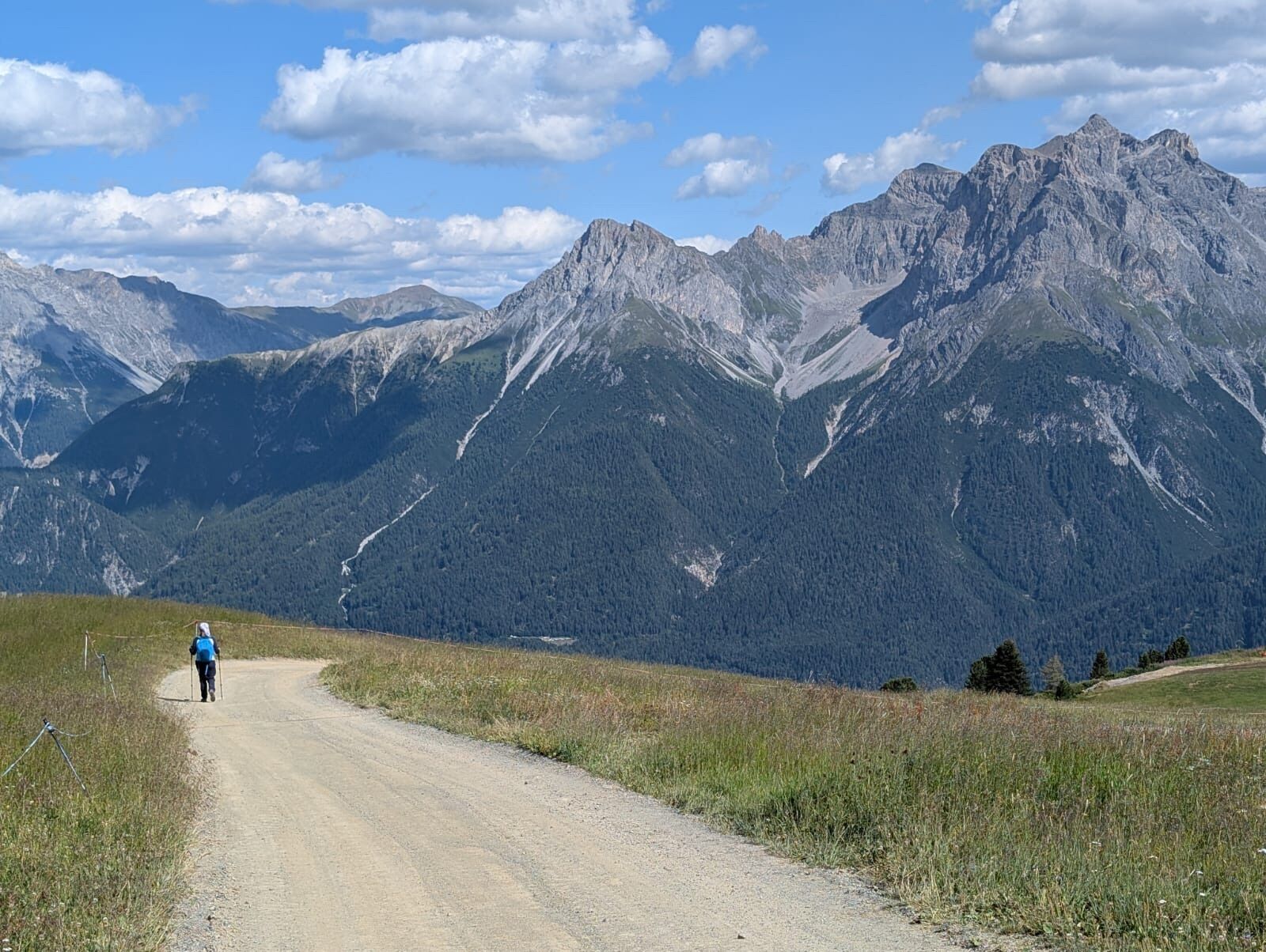
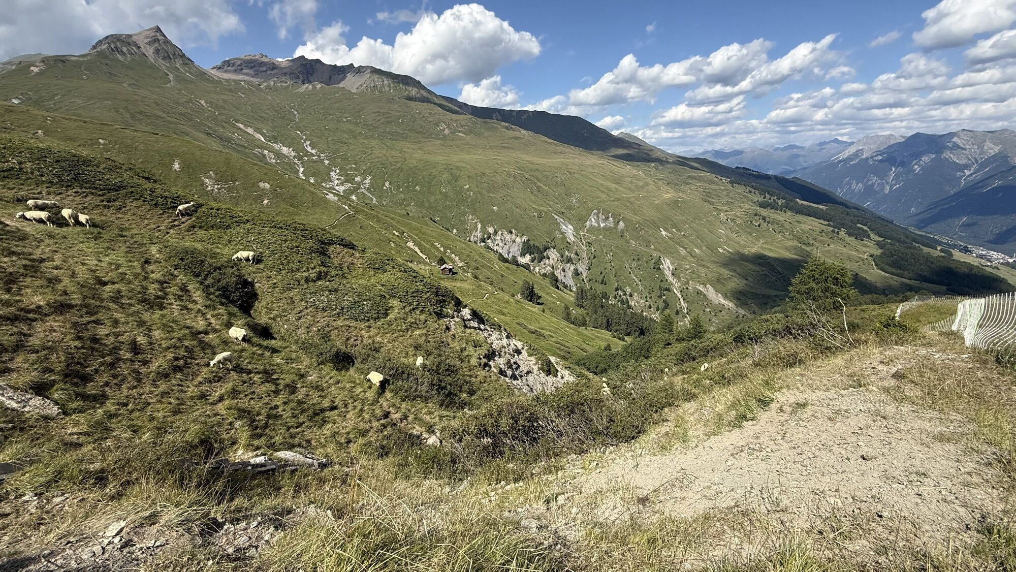
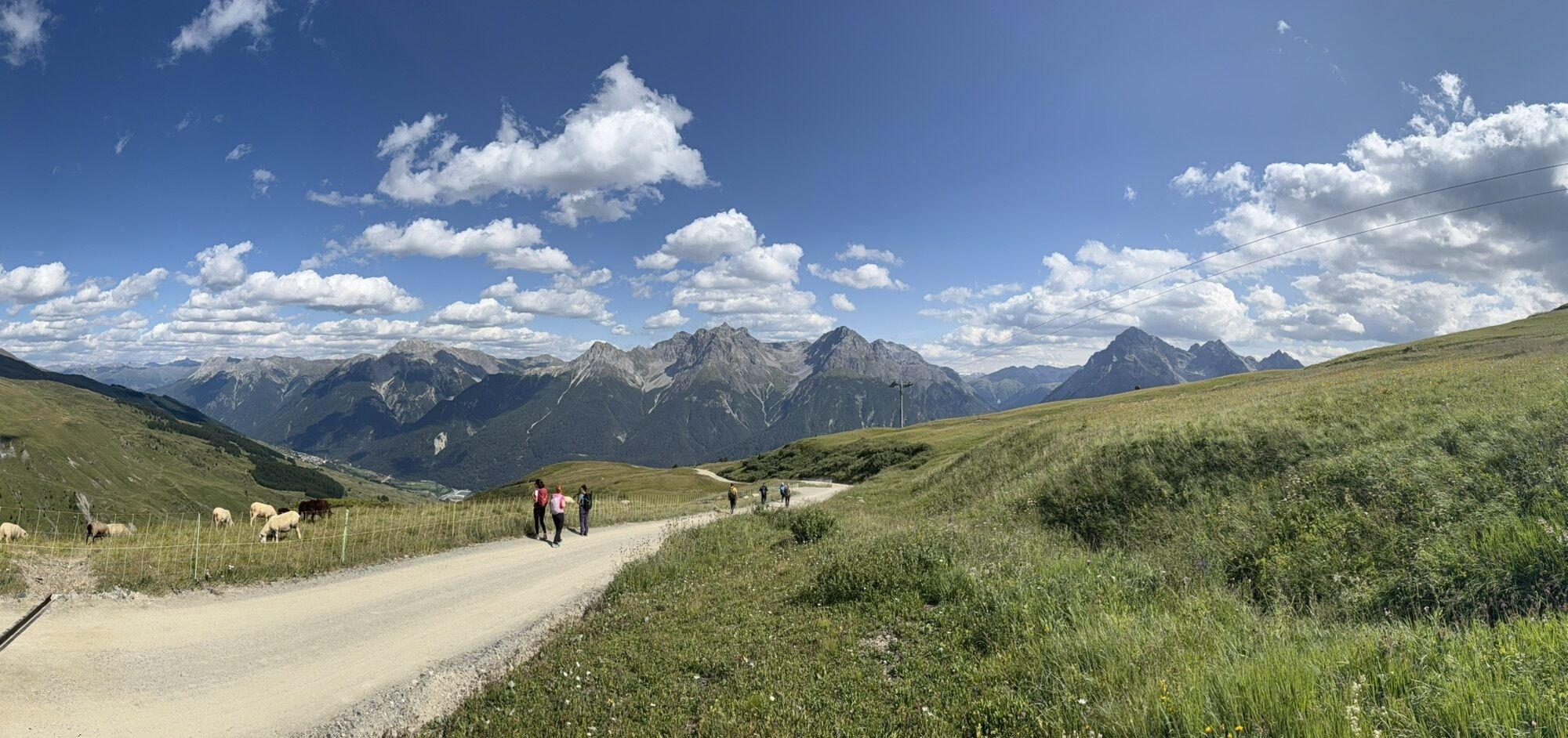
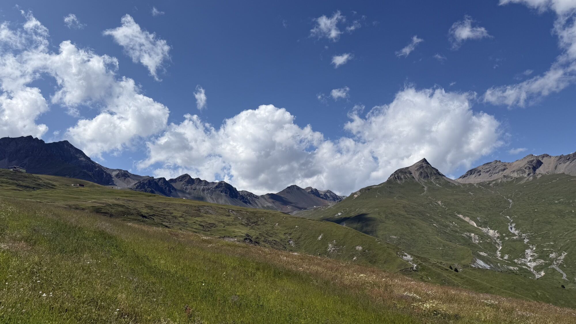
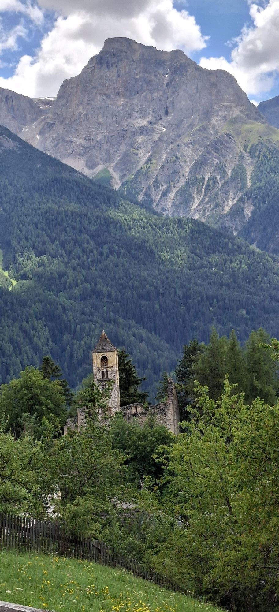
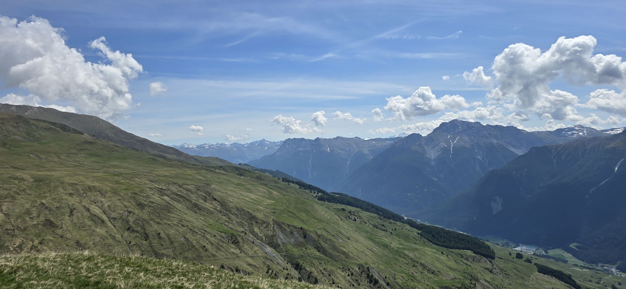
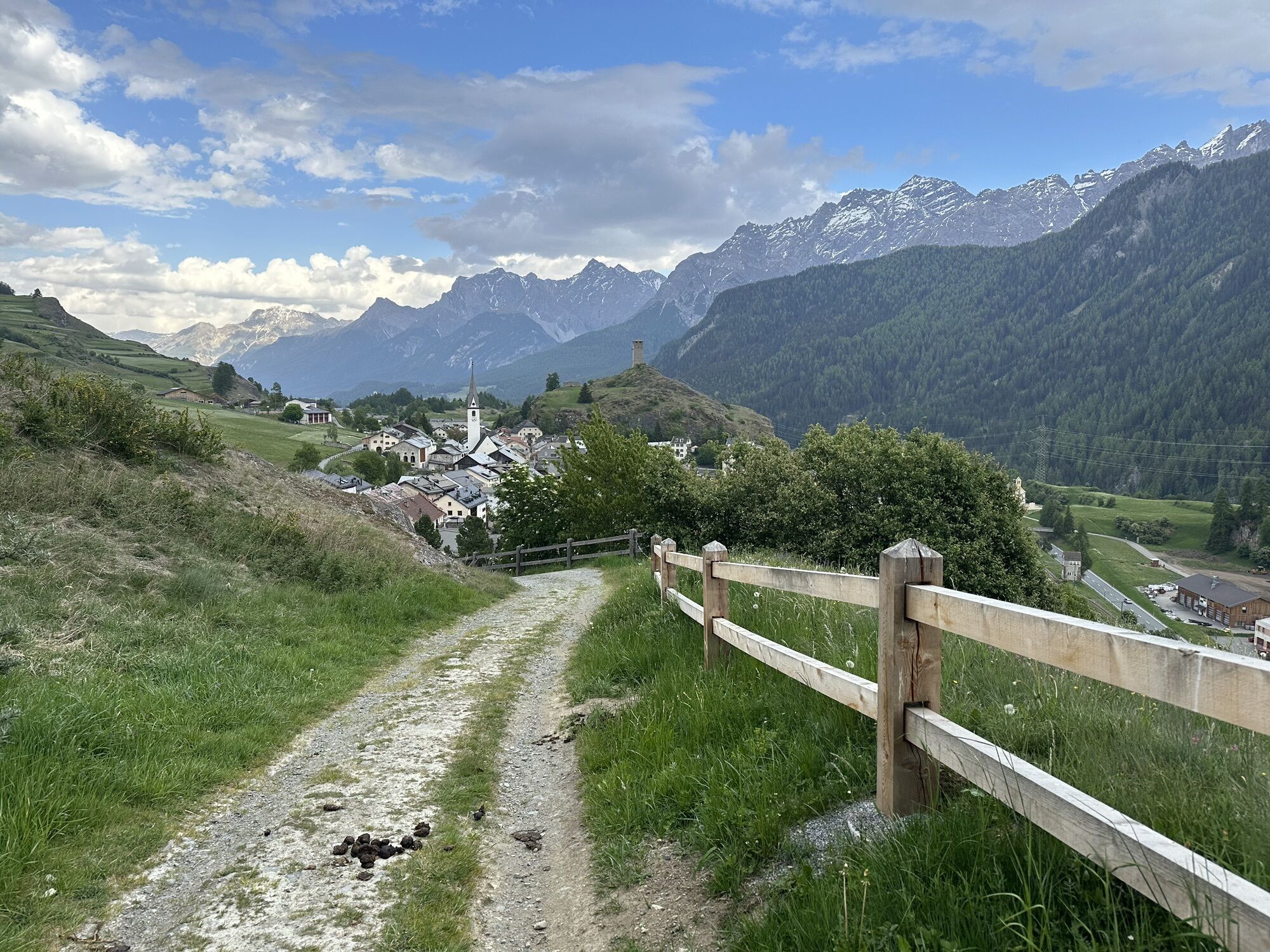
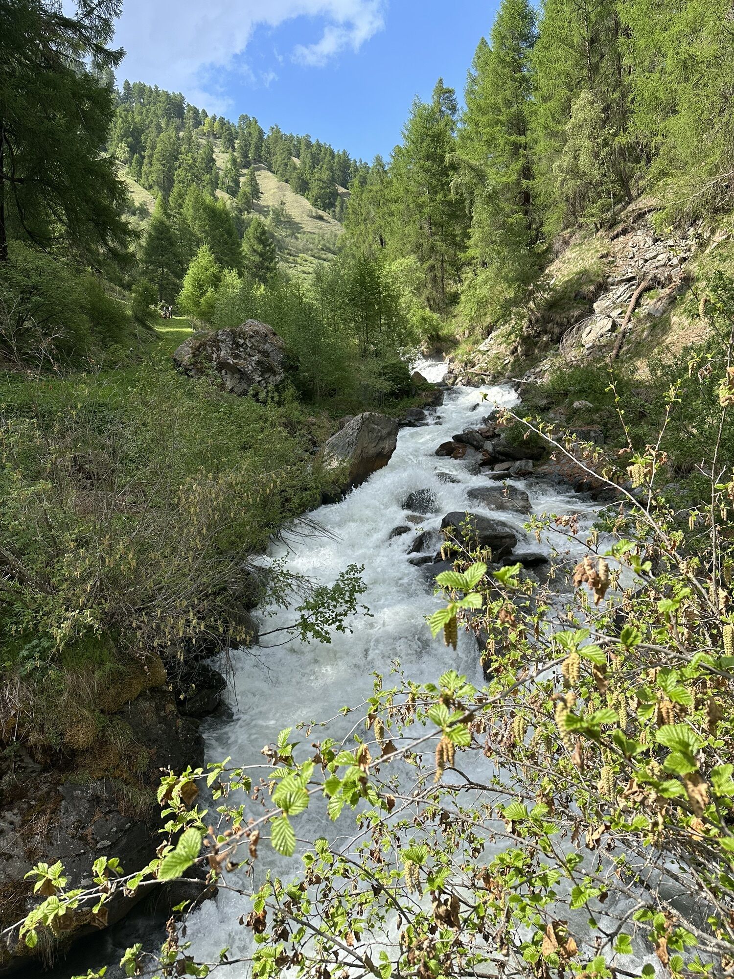
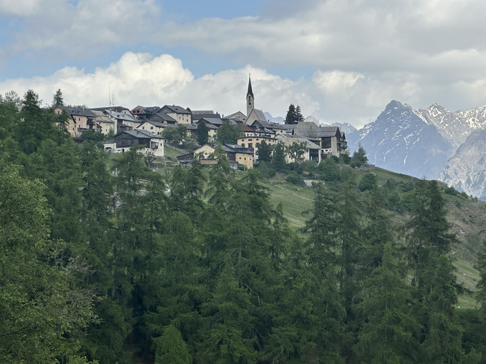
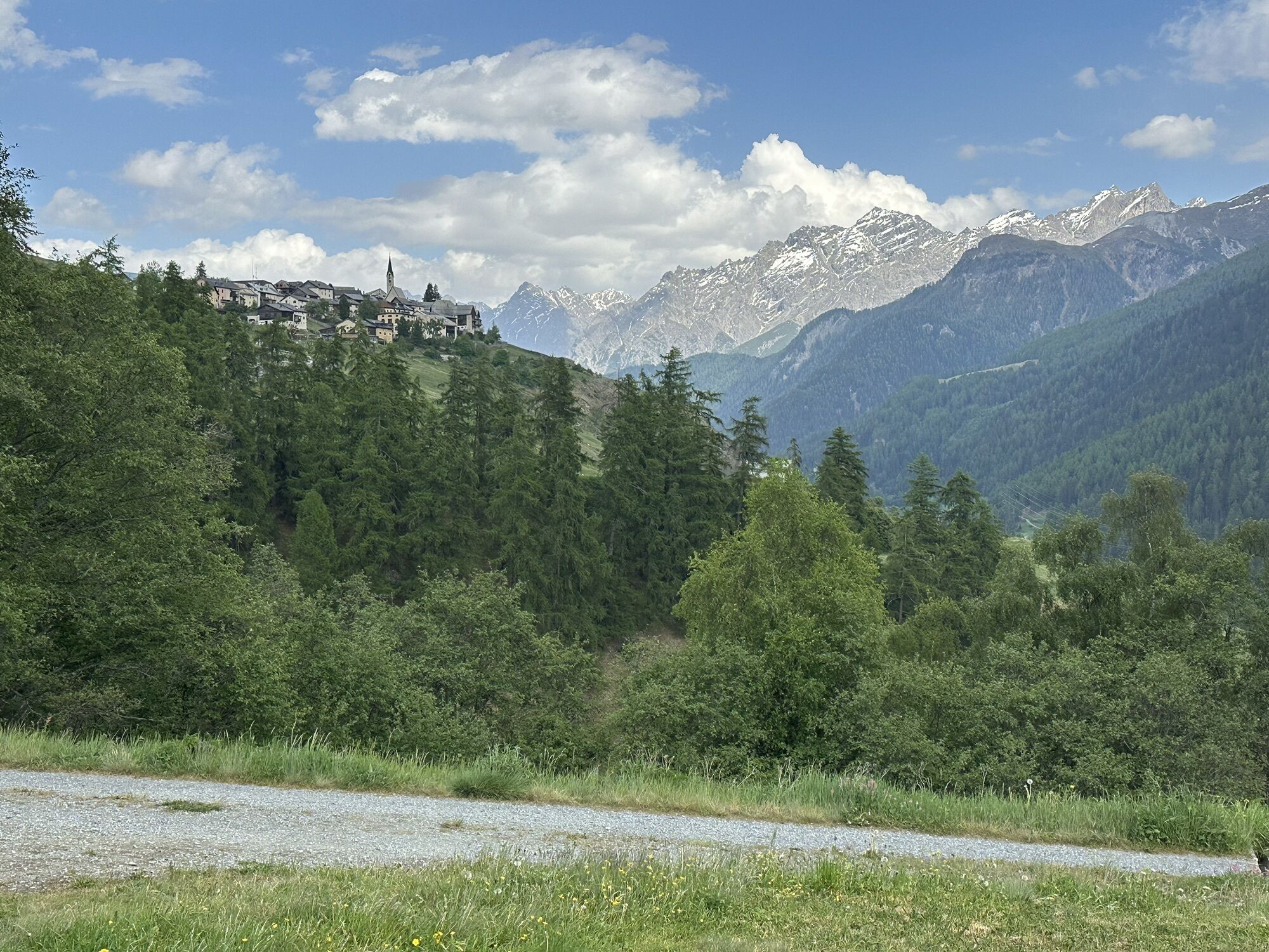
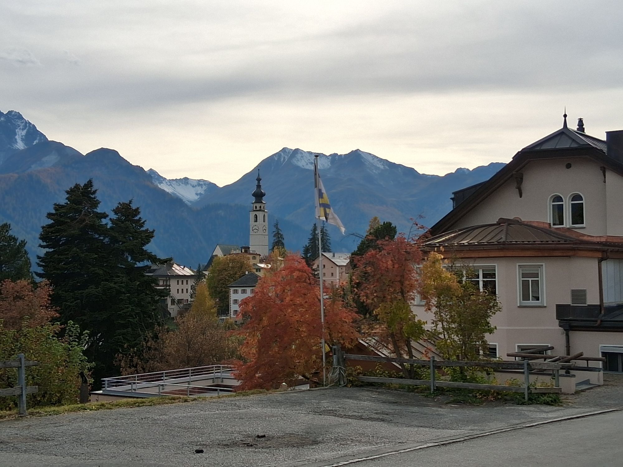
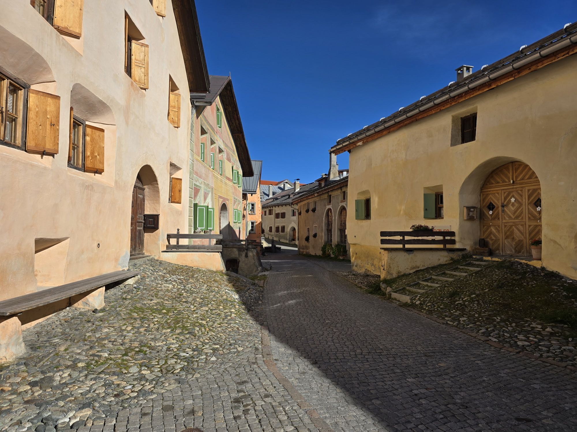
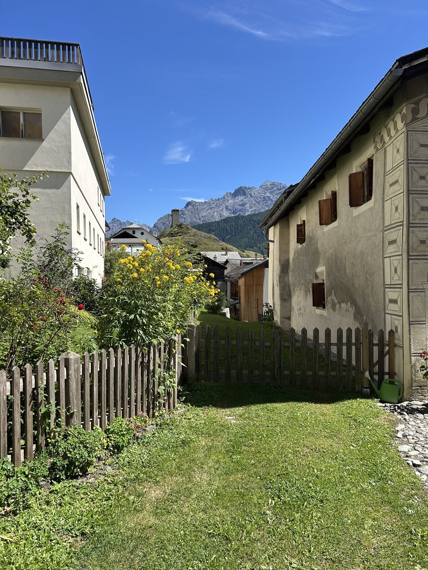


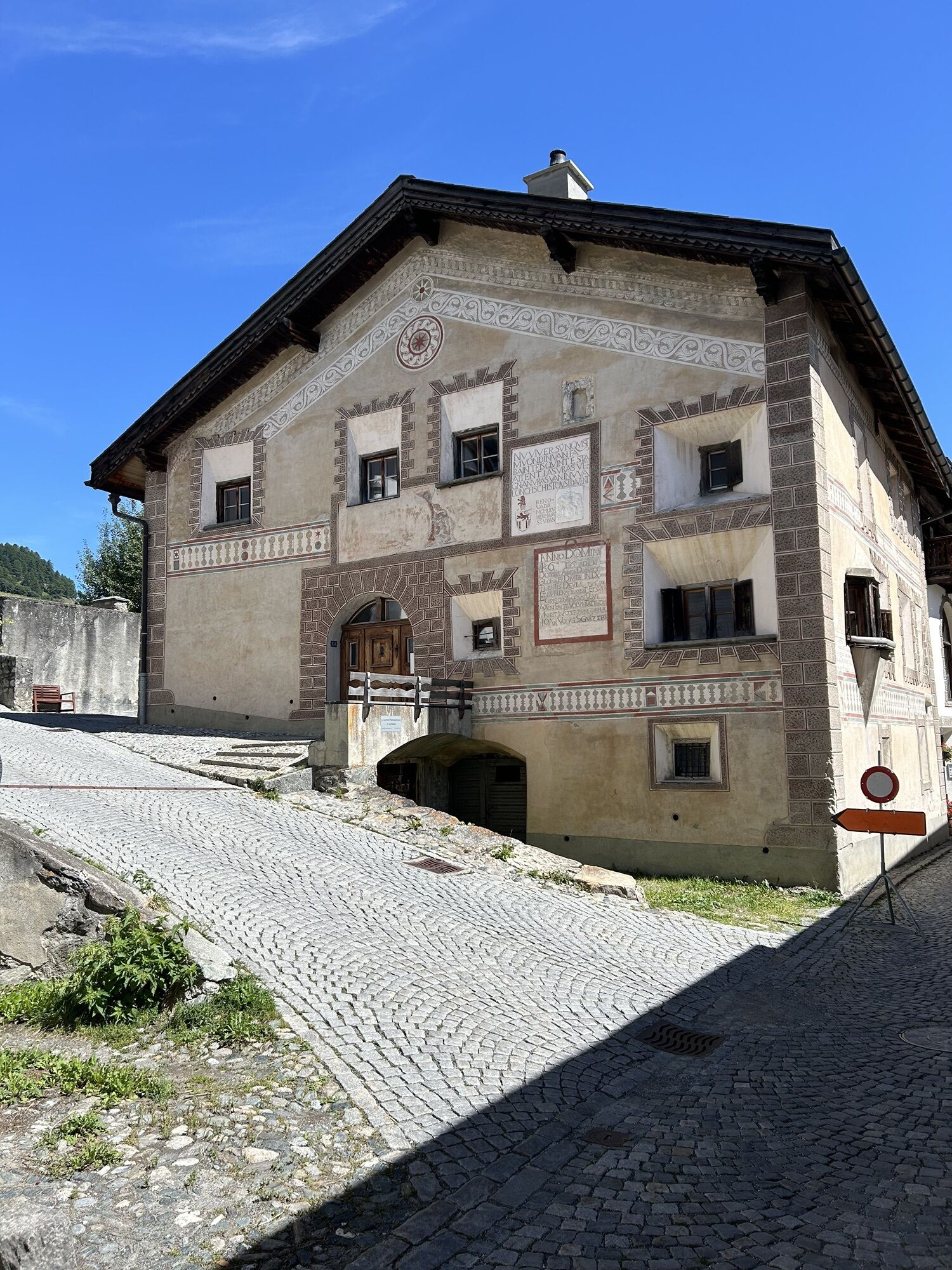
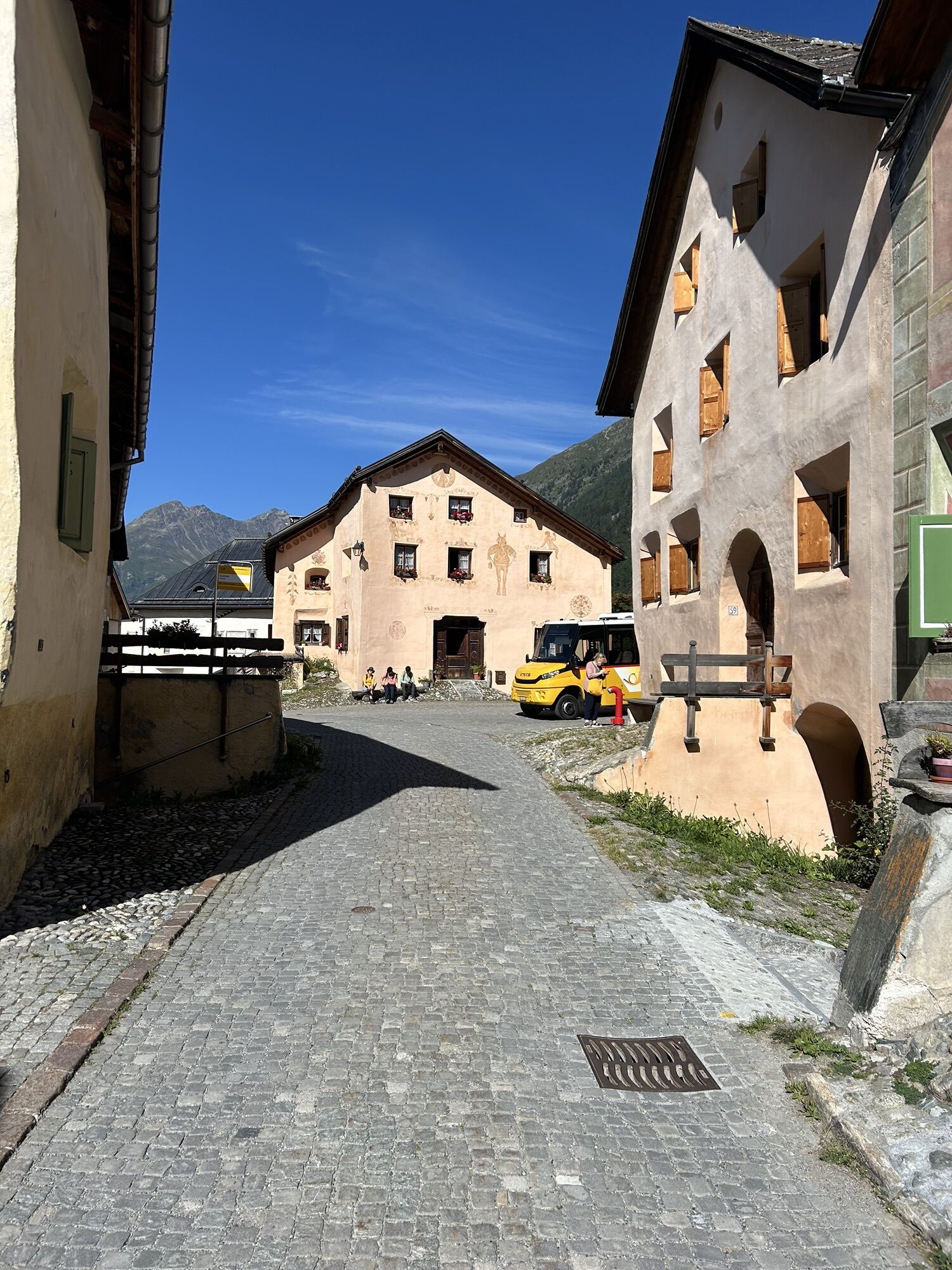
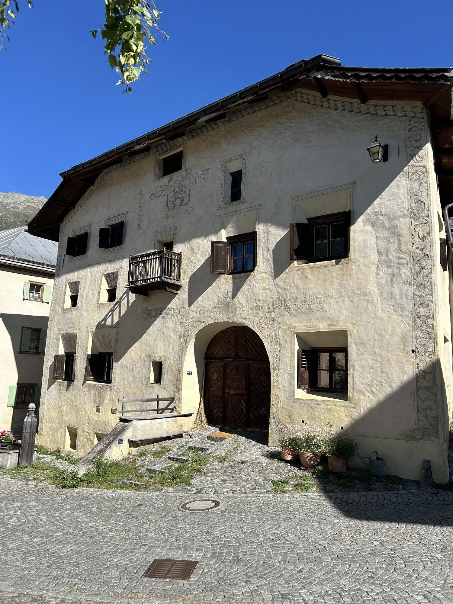
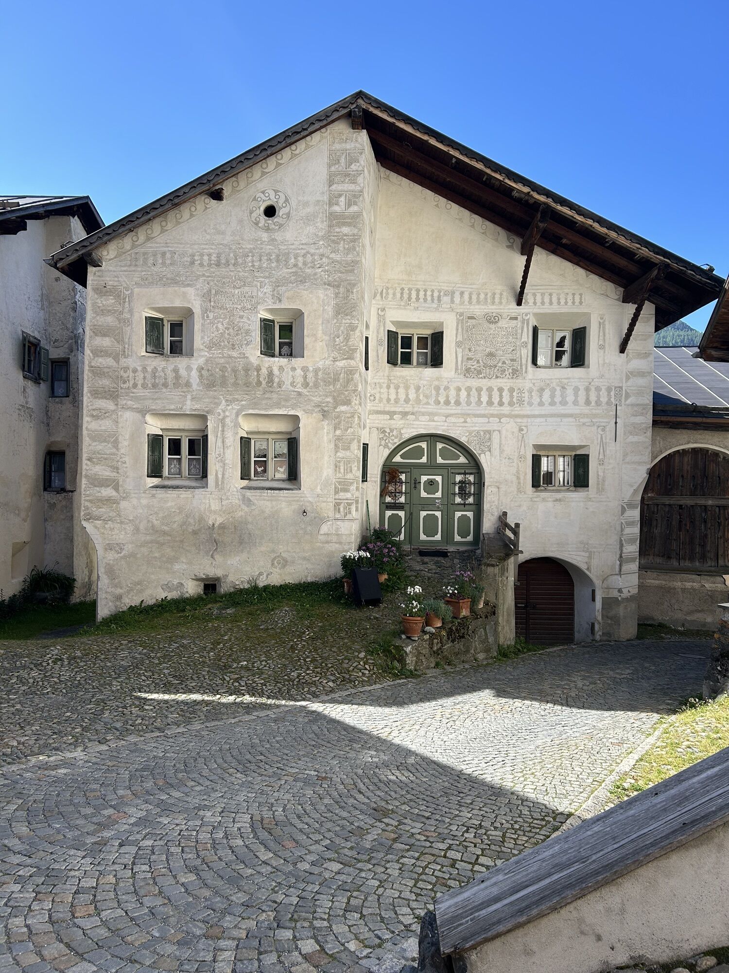
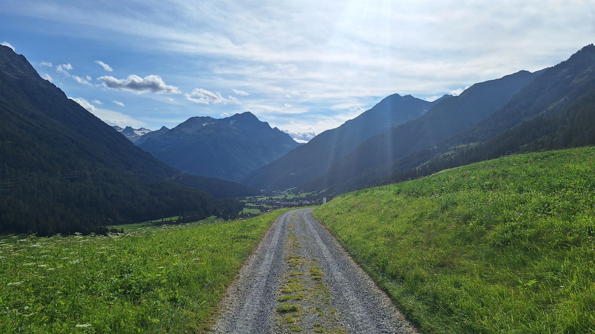
The high-altitude hike leads from the Zernez train station through the village to Susch. After crossing the village and passing additional fields, the next Engadine village Lavin is reached. The hike continues...
The high-altitude hike leads from the Zernez train station through the village to Susch. After crossing the village and passing additional fields, the next Engadine village Lavin is reached. The hike continues on the sunny valley side through authentic Engadine villages like Guarda, Ardez, or Sent. Along the way, enjoy varied day hikes and magnificent views of the Lower Engadine Dolomites.
Important:
The winter hiking trail from Motta Naluns to Sent (stage 4) remains closed until further notice. Due to heavy snow, unfrozen ground, and rain, there is a risk of wet snow avalanches.



1st stage, Zernez - Susch - Lavin - Guarda:
From Susch to Sur Punt and the eastern edge of the village Follow the path over the fields and through the forest Cross the Inn at Lavin via the wooden bridge Pass through the village towards the church Pass through the underpass at the church Follow the path past Gonda to Guarda2nd stage, Guarda - Ardez:
Pass through Guarda from west to east Continue on the old Engadine road to Bos-cha Continue slightly downhill to Ardez3rd stage, Ardez - Ftan - Scuol:
Follow the main road eastwards Turn left at the village edge Pass the school and take two bends to the junction Follow the hiking trail towards Chanoua Climb to Chanoua Follow the road for about 2 km Turn into the forest before Hotel Paradies Follow the path via the old mill and over the hill to Ftan Go up through the village and follow the winter hiking trail towards Scuol4th stage, Scuol - Sent:
From the Motta Naluns mountain station, follow the winter hiking trail uphill parallel to the ski slope Follow the path Cross the slopes at Jonvrai Follow the signposts towards Sent At the Sömi Bar, descend to Sent (off the piste)Ano
Ano
High and sturdy hiking boots or winter boots, warm clothing, sunscreen, sunglasses, sun protection, hiking poles.
The path is groomed after every snowfall. Please observe the condition reports in the winter sports report. The route was rated in favorable weather conditions; current snow and weather conditions must be checked before starting.
Warning:
The path passes through wildlife sanctuary zones, please do not leave forest paths. The path partly runs on cross-country ski trails and ski slopes – please walk at the edge of the tracks/slopes. The route's km information includes the ascent from Scuol to Motta Naluns.Emergency calls:
144 – Emergency, first aid
1414 Mountain rescue REGA
112 – International emergency call
From the north: via Landquart – Klosters by car shuttle through the Vereina tunnel (Selfranga - Sagliains) or via the Flüela pass into the Lower Engadin on H27
From the east: via Landeck / Austria towards St. Moritz on H27
From the south: via Reschen pass (Nauders-Martina) or Ofen pass (Val Müstair-Zernez) on H27
Zernez is located directly at the Ofen pass and on the Engadine road H27 (10 minutes drive from Vereina south portal)
With the Rhaetian Railway (from Chur, Landquart, Upper and Lower Engadin) hourly to Zernez
With the PostAuto from Val Müstair, Upper Engadin and Mals hourly to Zernez
Free parking at the train station, in the village, and at the National Park visitor center in Zernez
Paid parking at the station in Lavin or at the Hotel Bär & Post in Zernez
3
Highlights along the route include the castle hill of the Steinsberg ruins in Ardez or a sled ride at the Ftan-Prui chairlift.
Webové kamery z prohlídky

Oblíbené prohlídky v okolí
-
4.8
Hiking trail Piz Buin - view
středníTuristika 14.4 km -
4.7
Jamtal lodge
středníTuristika 19.6 km -
5.0
Großer Piz Buin (3.312m), Normalweg 2019 über Ochsentaler Gletscher
heavyVysokohorská turistika 24.1 km -
4.3
National Park: Margunet
světloTuristika 7.76 km -
4.8
National park: Zernez – Munt Baselgia – Macun lakes – Alp Zeznina – Lavin
heavyTuristika 22.9 km -
3.7
Bielerhöhe - Vermuntkopf - Bielerhöhe
středníTuristika 17 km -
5.0
Ascent of Hohes Rad and stop at the Wiesbadener Hut
heavyTuristika 15.8 km -
5.0
National Park: Chamanna Cluozza
středníTuristika 8.37 km -
4.8
National Park: Grimmels (circular hike)
světloTuristika 6 km -
4.7
Hennekopf von der Bielerhöhe (Gemeinde Galtür, Tirol/Österreich)
středníHorská turistika 9.43 km
Pěší turistika a stopování


Nenechte si ujít nabídky a inspiraci pro vaši příští dovolenou
Vaše e-mailová adresa byl přidán do poštovního seznamu.





