







National Park: Val Mingèr – Sur il Foss – Fuorcla Val dal Botsch – Ofenpass road
A varied mountain pass hike that connects two regions of the Swiss National Park with different characters. Besides the diverse mountain flora, there is the possibility of observing deer in Val Mingèr,...
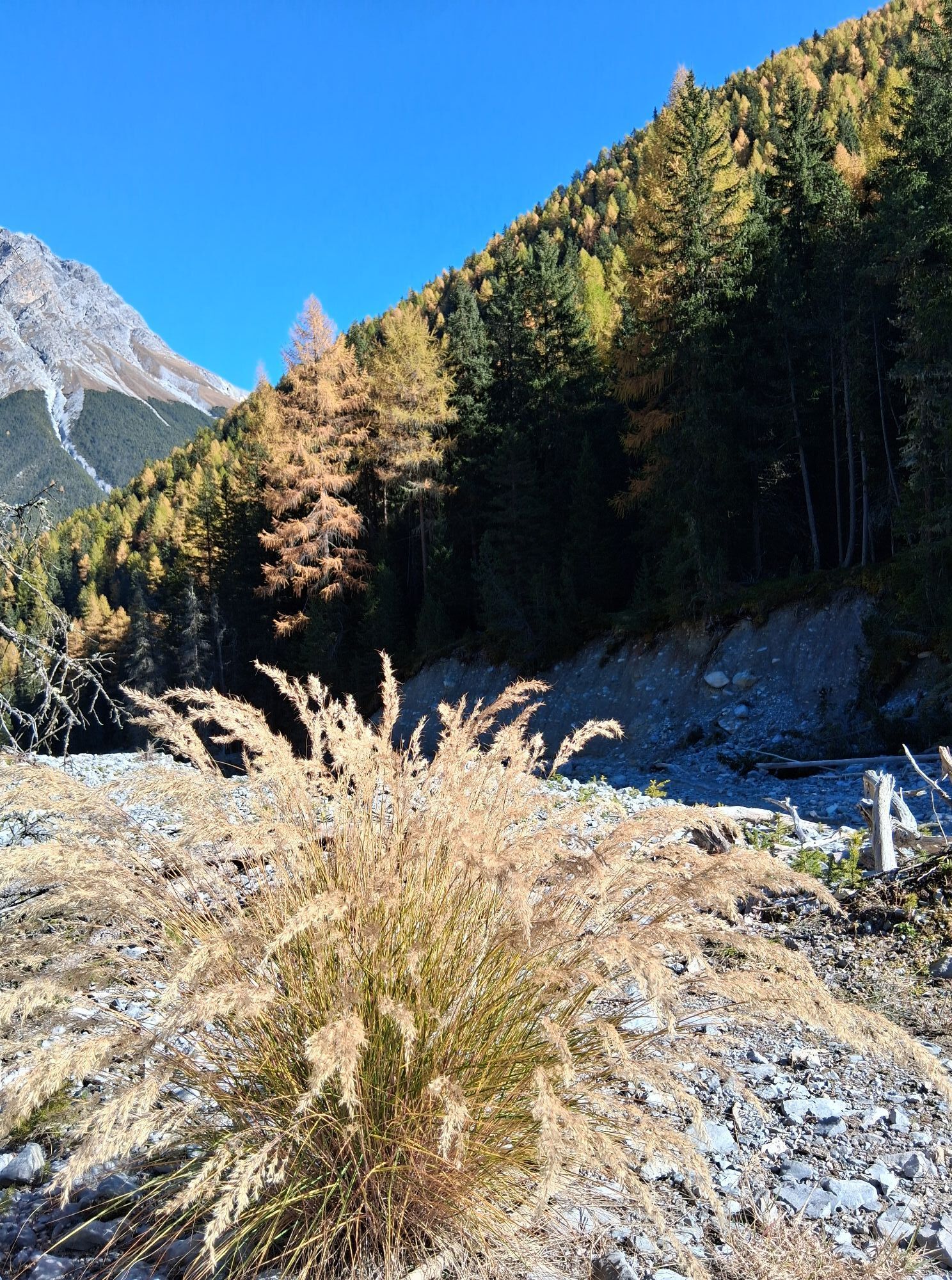
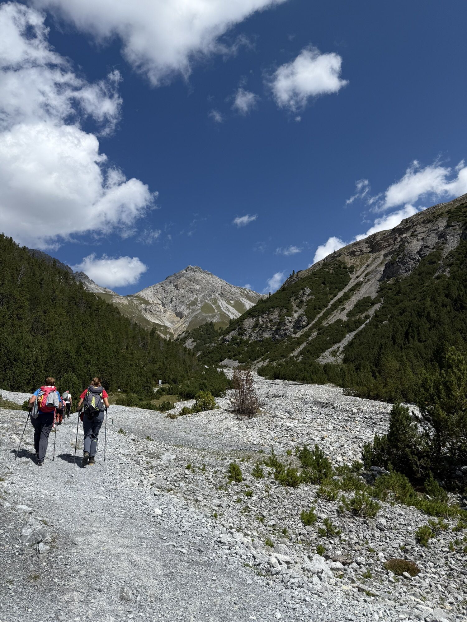
A varied mountain pass hike that connects two regions of the Swiss National Park with different characters. Besides the diverse mountain flora, there is the possibility of observing deer in Val Mingèr, the witch’s head, the alluvial fans in the rear Val Plavna, and the magnificent view from the 2677 m a.s.l. high Fuorcla Val dal Botsch pass summit.
Note: Bringing dogs is not permitted in the Swiss National Park, not even on a leash. More information and all protection regulations can be found at nationalpark.ch/schutzbestimmungen.

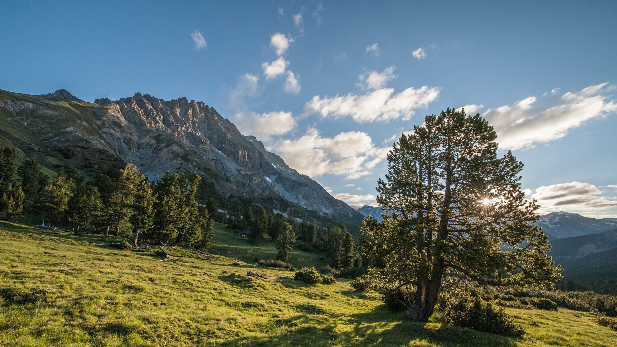
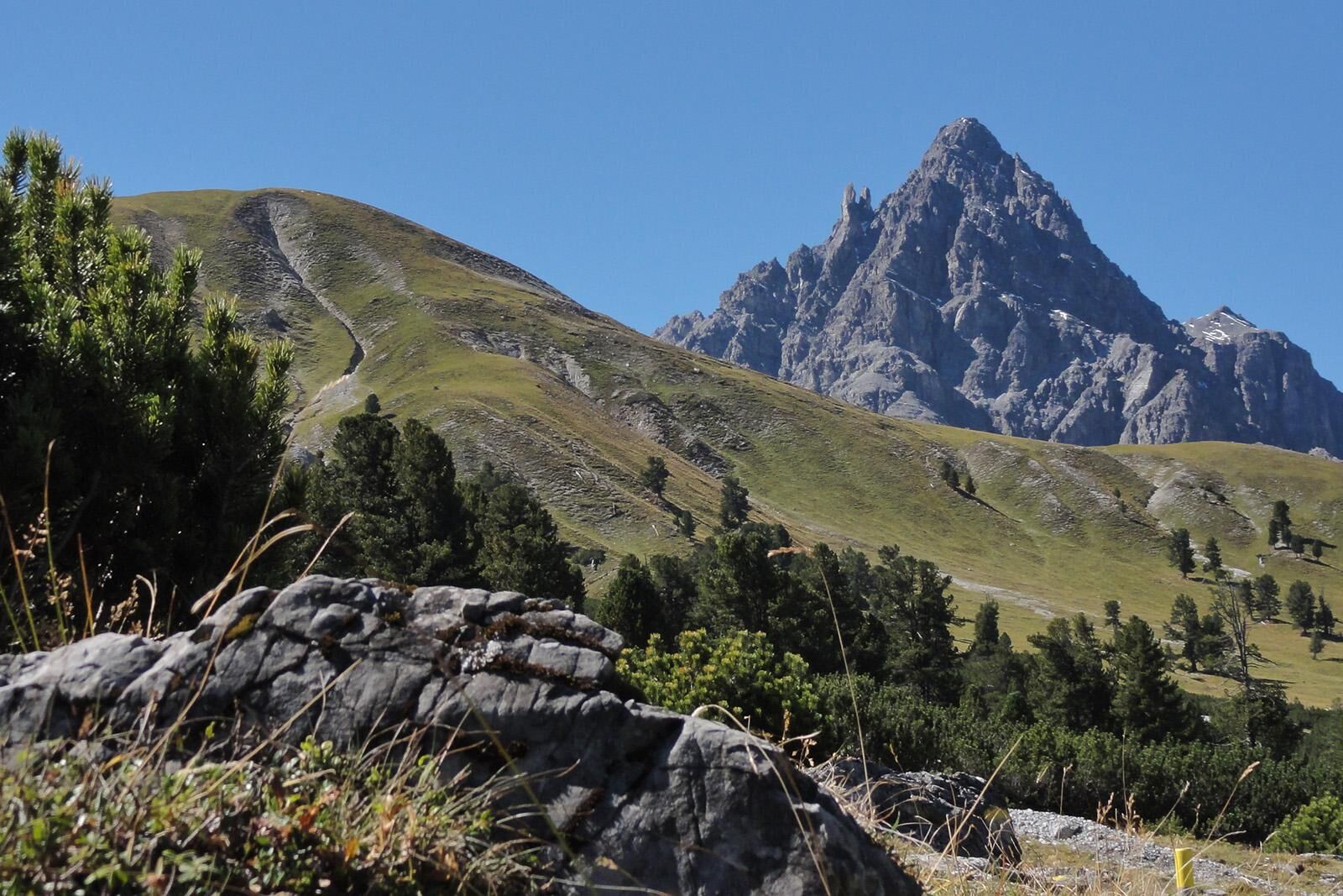
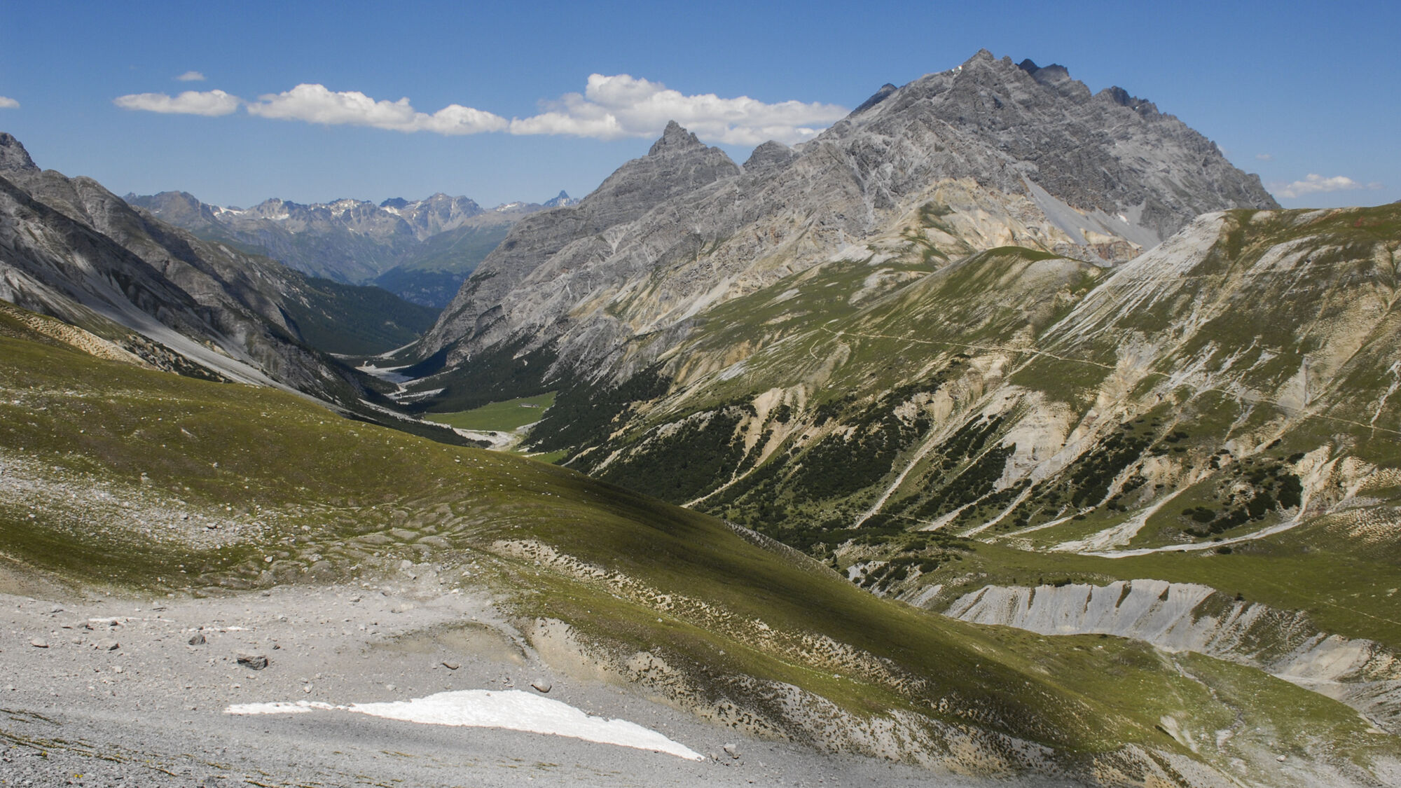

From the PostBus stop «Scuol, Val Mingèr», the path leads over the dam directly into the National Park. On the left, caves appear as if carved in stone, with the head of a witch visible. Idyllically along the stream, the path ascends to the Mingèr rest area. Many marmots inhabit the meadow at this rest area, while many deer often graze on the opposite slope. The path leads west to the Sur il Foss pass (2317 m a.s.l.). The route now leaves the National Park and passes through huge scree fields, first downhill and then slightly uphill to the Fuorcla Val dal Botsch pass (2677 m a.s.l.). Here the view opens to the north, to the Pisoc range, the distinctive peak of Piz Plavna Dadaint, and the valley floor of Val Plavna. From here, the route zigzags downhill over 400 meters across flowery meadows back into the National Park. Along the rushing Ova da Val dal Botsch, the path passes the Val dal Botsch rest area and continues to the PostBus stop «Stabelchod (P8)».
Hiking boots, warm clothing, sun and rain protection, hiking poles if needed, binoculars recommended.
Mountain hike (white-red-white). Steep scree field descending from the Fuorcla towards Val Plavna. Snow can be expected here in spring and autumn. Sure-footedness required. This hike requires basic alpine experience, orientation skills; hiking boots are recommended.
Emergency numbers:
144 First aid
1414 Mountain rescue REGA
112 International emergency number
From the north: over Landquart – Klosters by car shuttle through the Vereina Tunnel (Selfranga - Sagliains) or over the Flüela Pass to Unterengadin on H27, to Scuol and then towards S-charl
From the east: via Landeck / Austria towards Reschen Pass, to Martina on the H27 to Crusch, to Scuol and then towards S-charl
From the south: via Reschen Pass to Martina, there towards St. Moritz on the H27 to Scuol and then towards S-charl.
By Rhaetian Railway (from Chur, Landquart/Prättigau or from Upper Engadin) hourly to Scuol-Tarasp station
Then continue by PostBus to the PostBus stop Mingèr
Mingèr
A visit to the Schmelzra Museum in S-charl with its bear exhibition is highly worthwhile. The experience-oriented exhibition offers insights into the past, lifestyle, biology, and return of brown bears. It is particularly suitable for children.
On the adjacent Bear Experience Trail, nine interactive stations amaze both young and old guests and provide practical tips on behavior in a bear area.
Získejte přehled
Vždy živě na místě s více než 9 500 webkamerami. bergfex Jako uživatel Pro si nyní můžete zobrazit odpovídající webové kamery pro mnoho prohlídek v aplikaci prohlídky z. Můžete si tak přímo prohlédnout aktuální podmínky.

Oblíbené prohlídky v okolí
-
4.8
National park: Zernez – Munt Baselgia – Macun lakes – Alp Zeznina – Lavin
heavyTuristika 22.9 km -
4.2
National Park: Margunet
světloTuristika 7.76 km -
4.8
National Park: Grimmels (circular hike)
světloTuristika 6 km -
5.0
National Park: Chamanna Cluozza
středníTuristika 8.37 km -
4.5
Tarasp Fontana – Sparsels – Lai Nair (circular route)
světloTuristika 7.67 km -
5.0
3 Länder Tour Uinaschlucht MTB
heavyMountainbike 74.6 km -
4.7
Bergwanderung Schlinig -Seswenahütte
středníTuristika 13.6 km -
5.0
San Jon – Chamonna Lischana (return)
středníTuristika 12.0 km -
5.0
National Park: Murtaröl
heavyTuristika 15.6 km -
5.0
National Park: Mot Tavrü
středníTuristika 12.0 km
Pěší turistika a stopování


Nenechte si ujít nabídky a inspiraci pro vaši příští dovolenou
Vaše e-mailová adresa byl přidán do poštovního seznamu.





