






Lavin – Guarda – Ardez – Ftan – Scuol
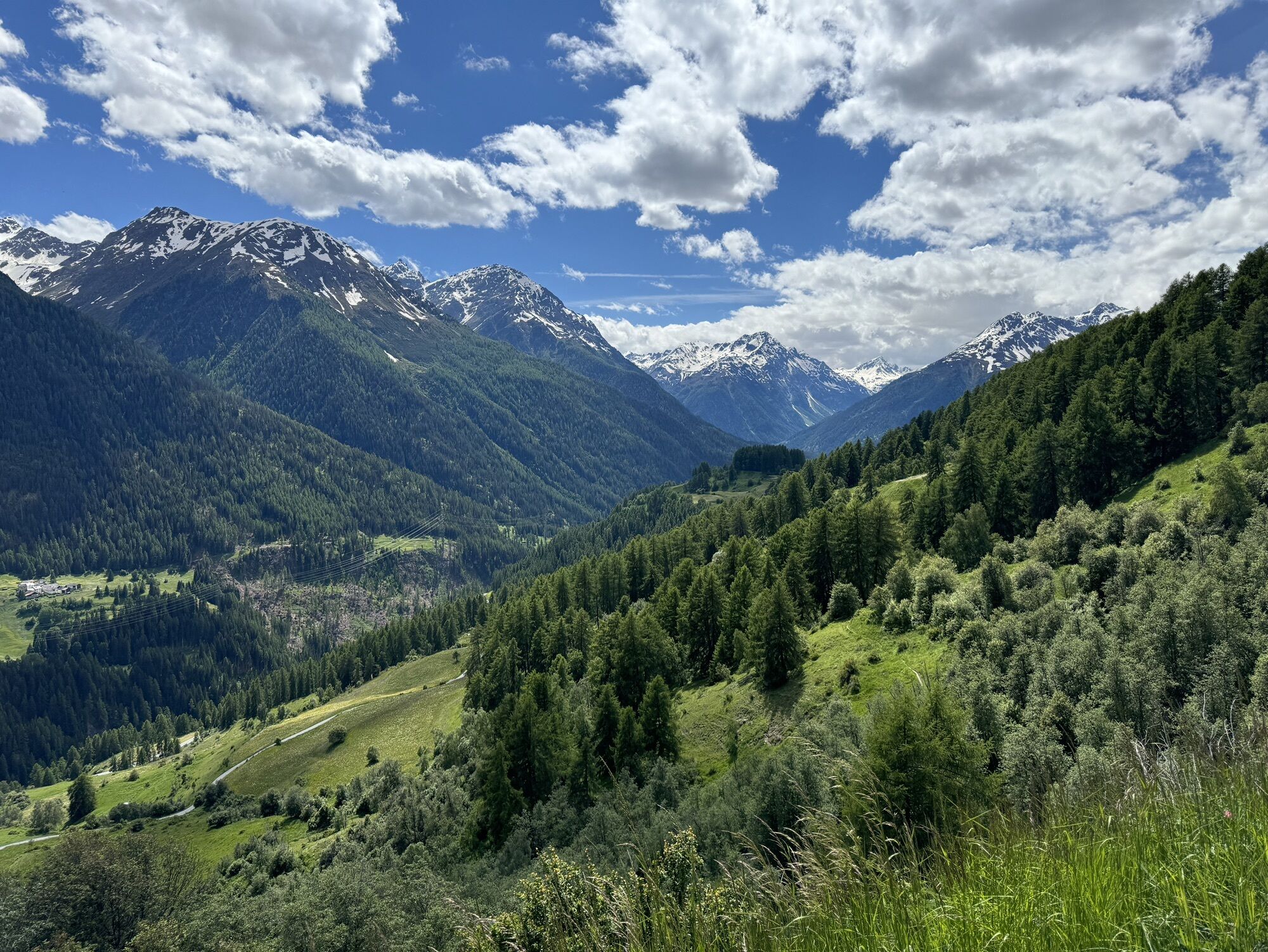
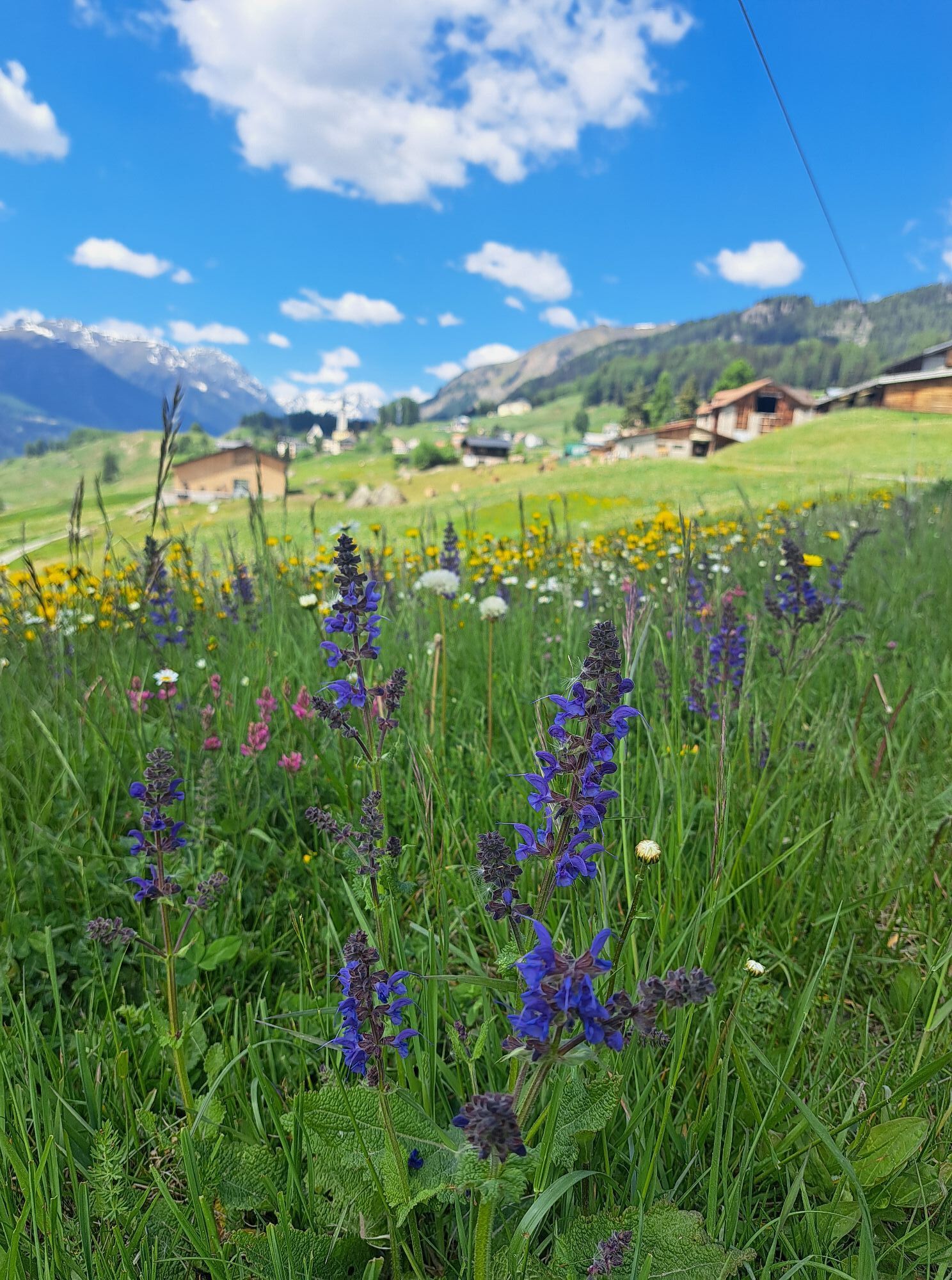
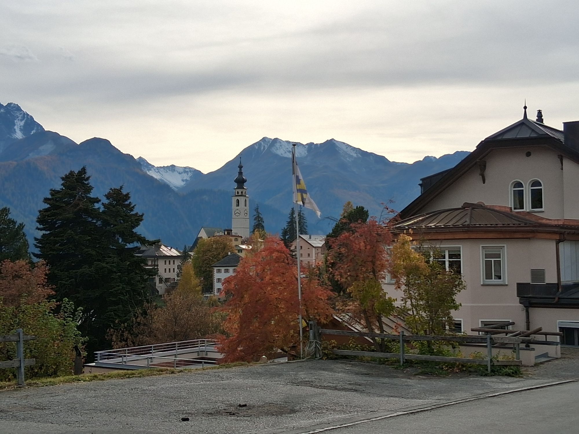
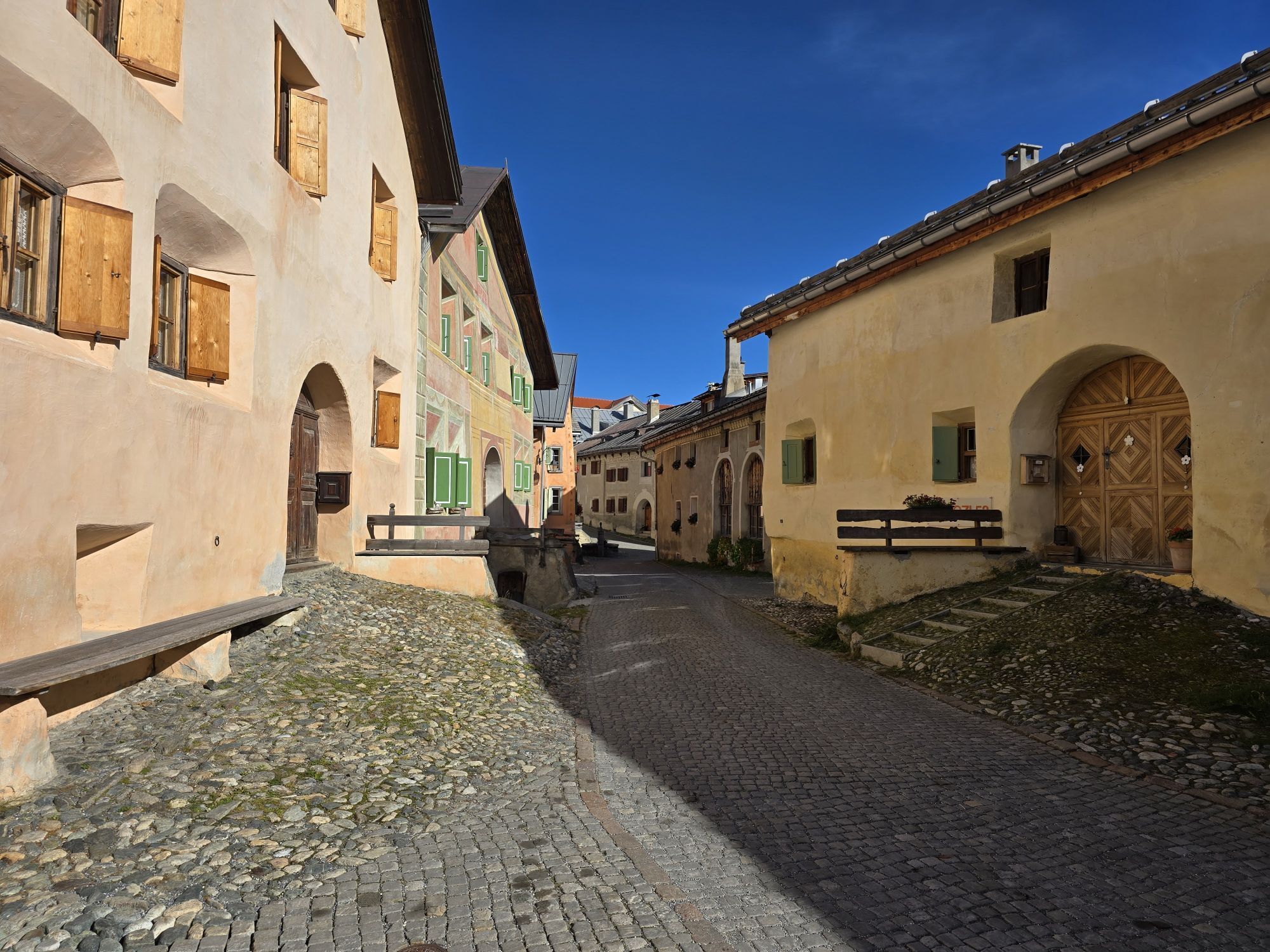
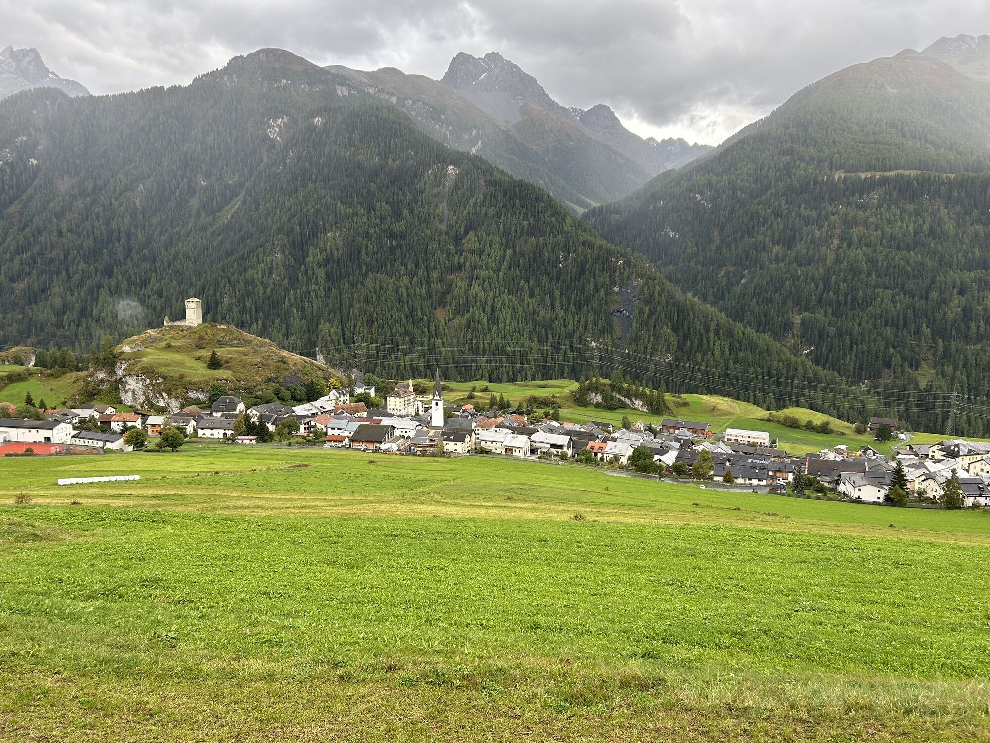
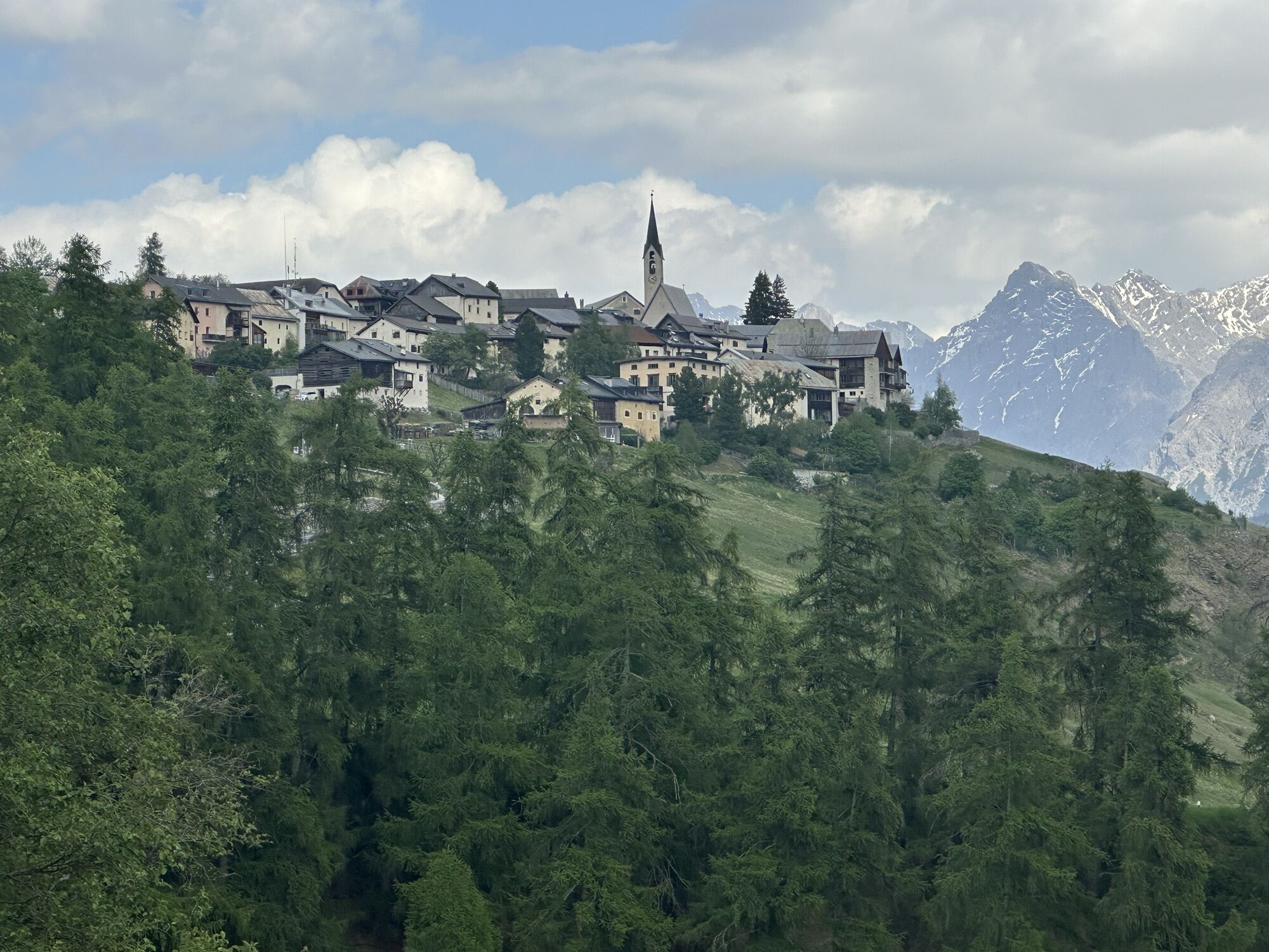
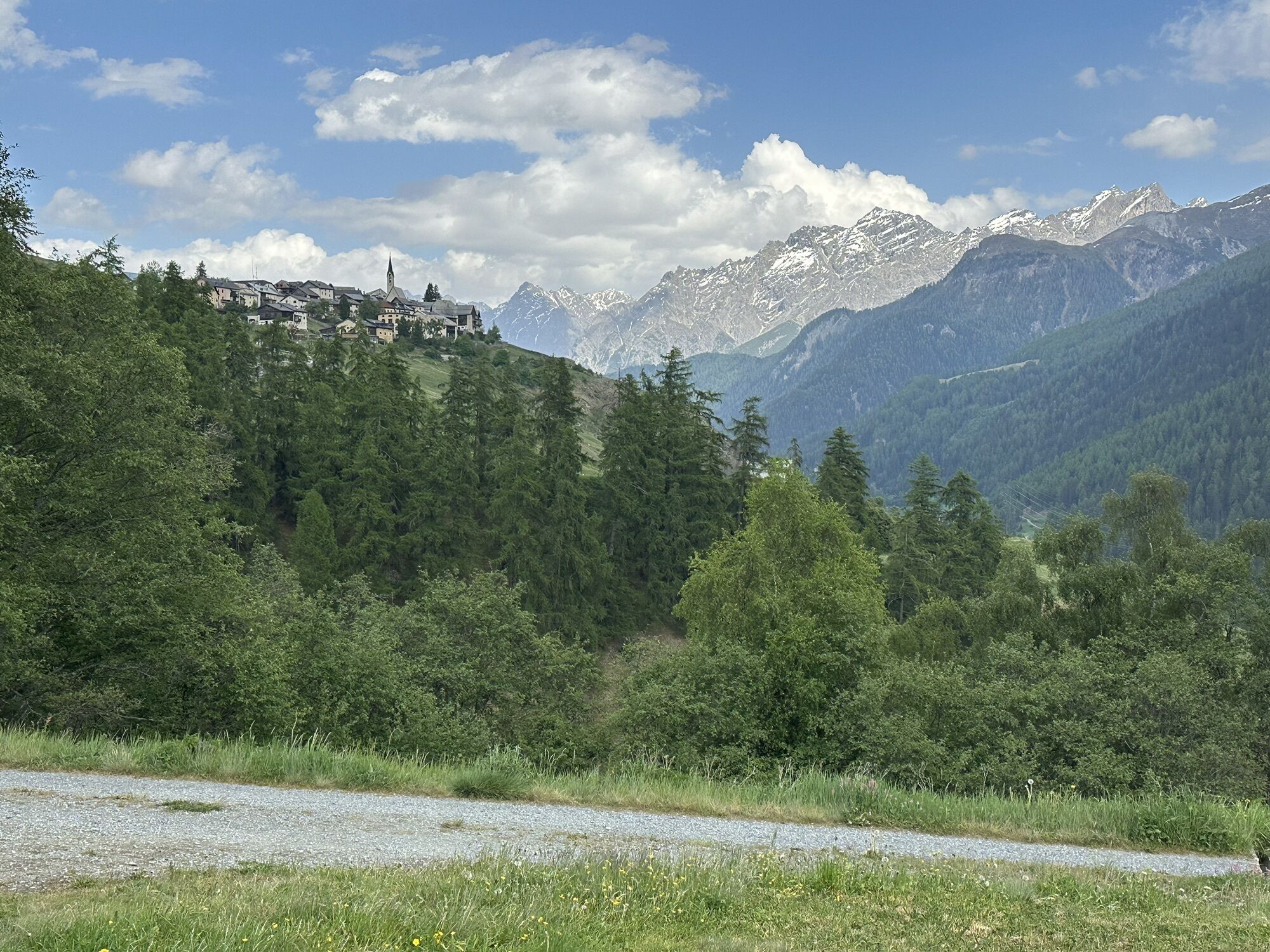
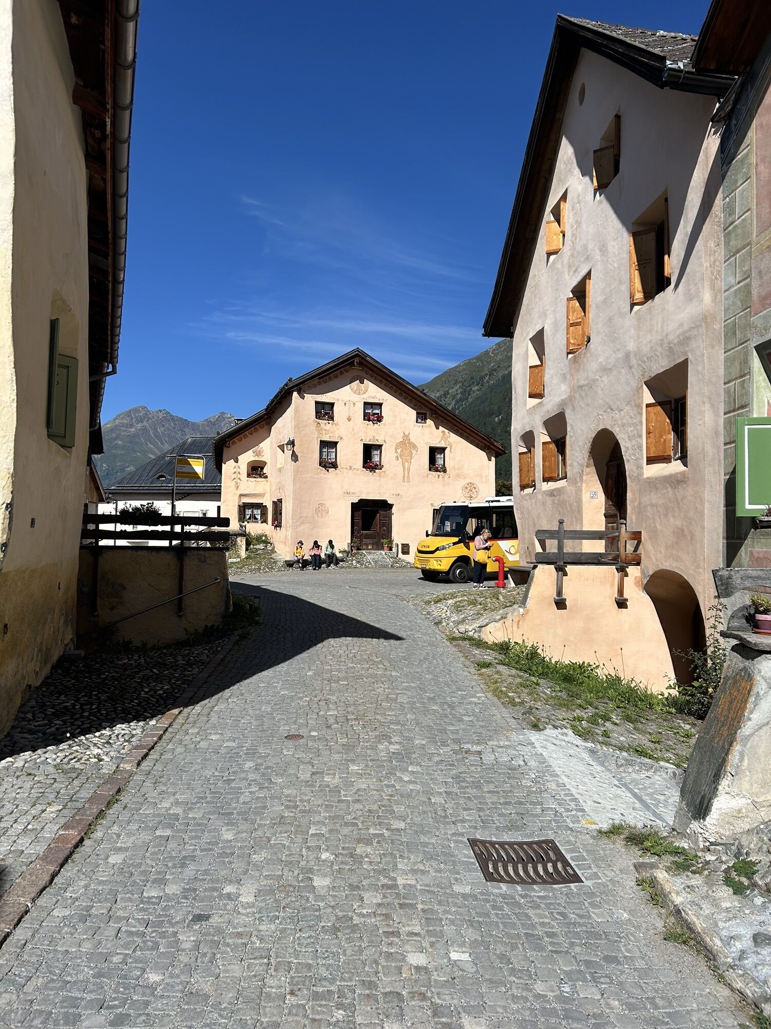
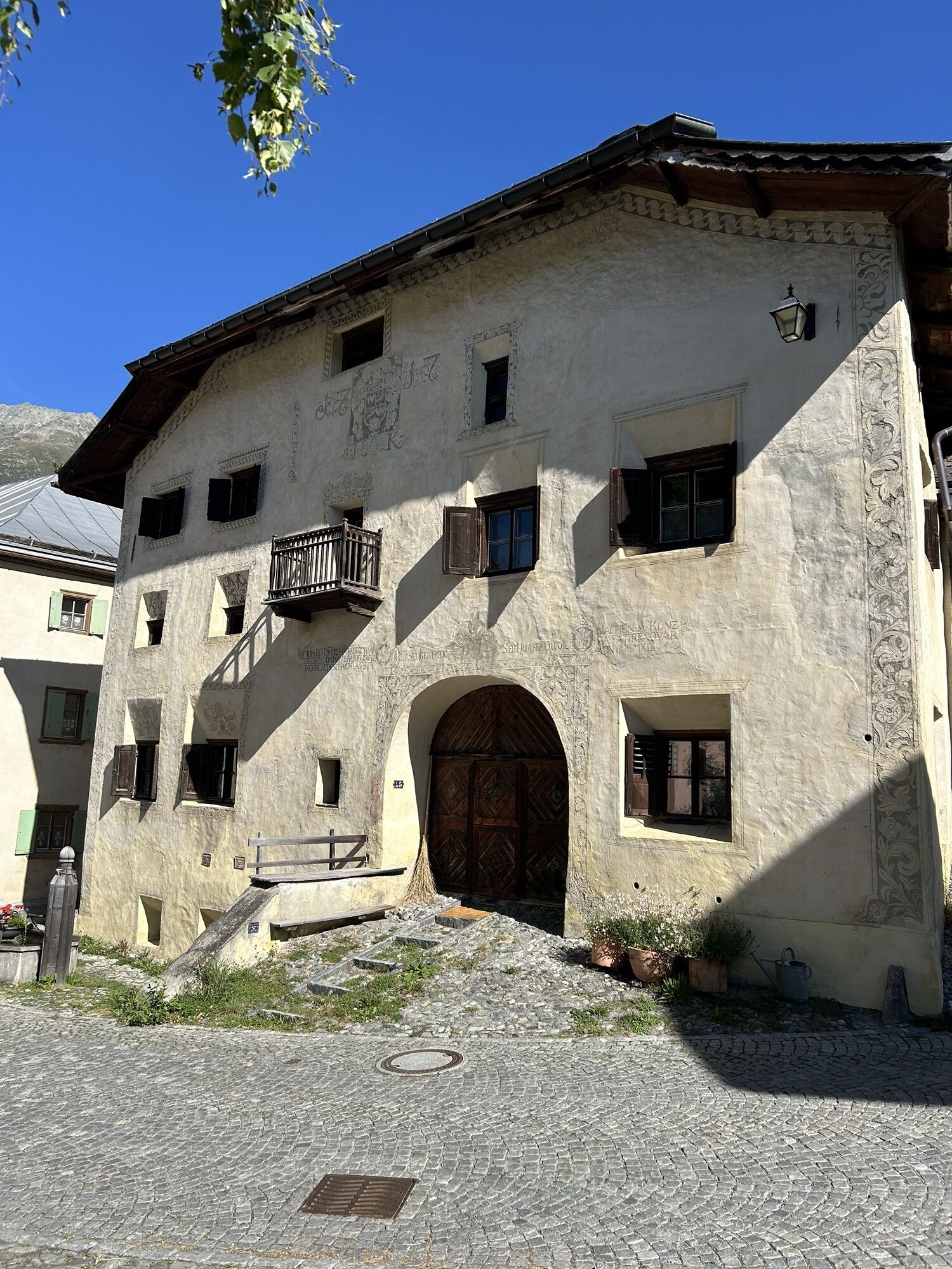
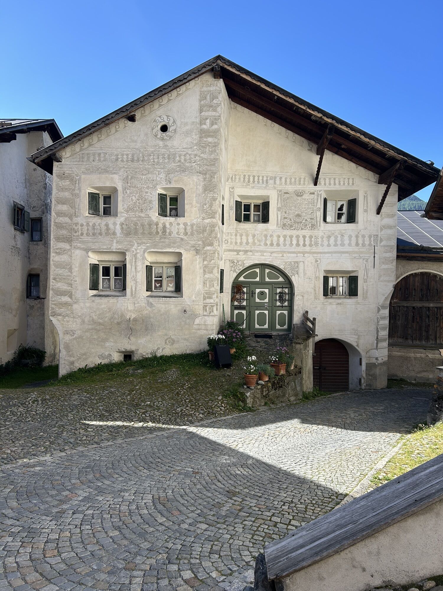
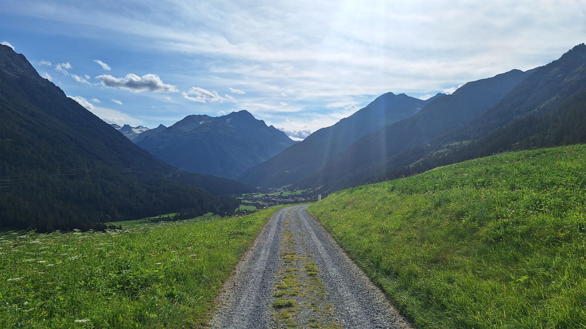
The scenic hike on the sunny slope of the Lower Engadine leads through striking Engadine villages such as Lavin, Guarda, Ardez, and Ftan. Narrow streets with sgraffito-decorated houses invite exploration....
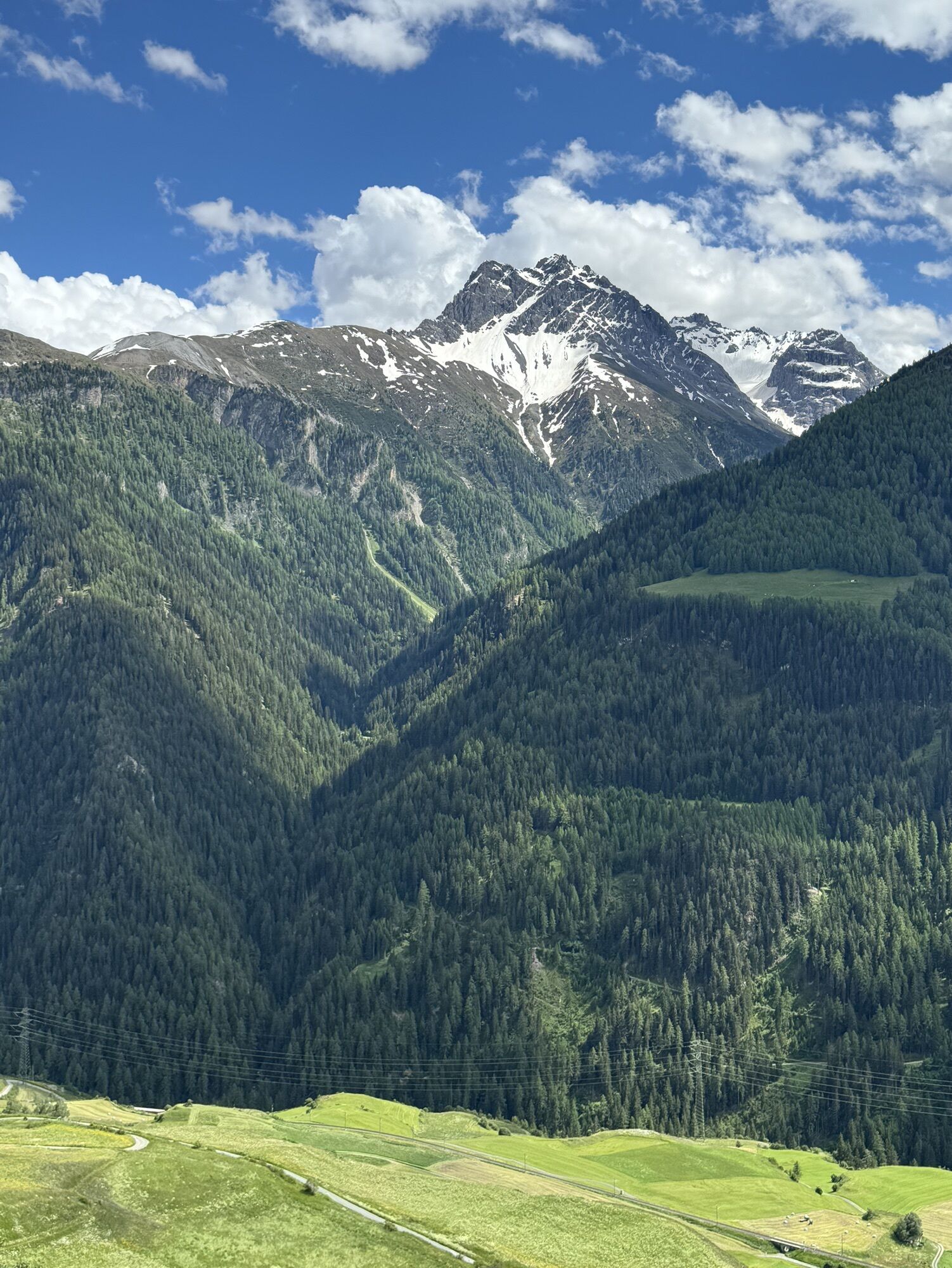
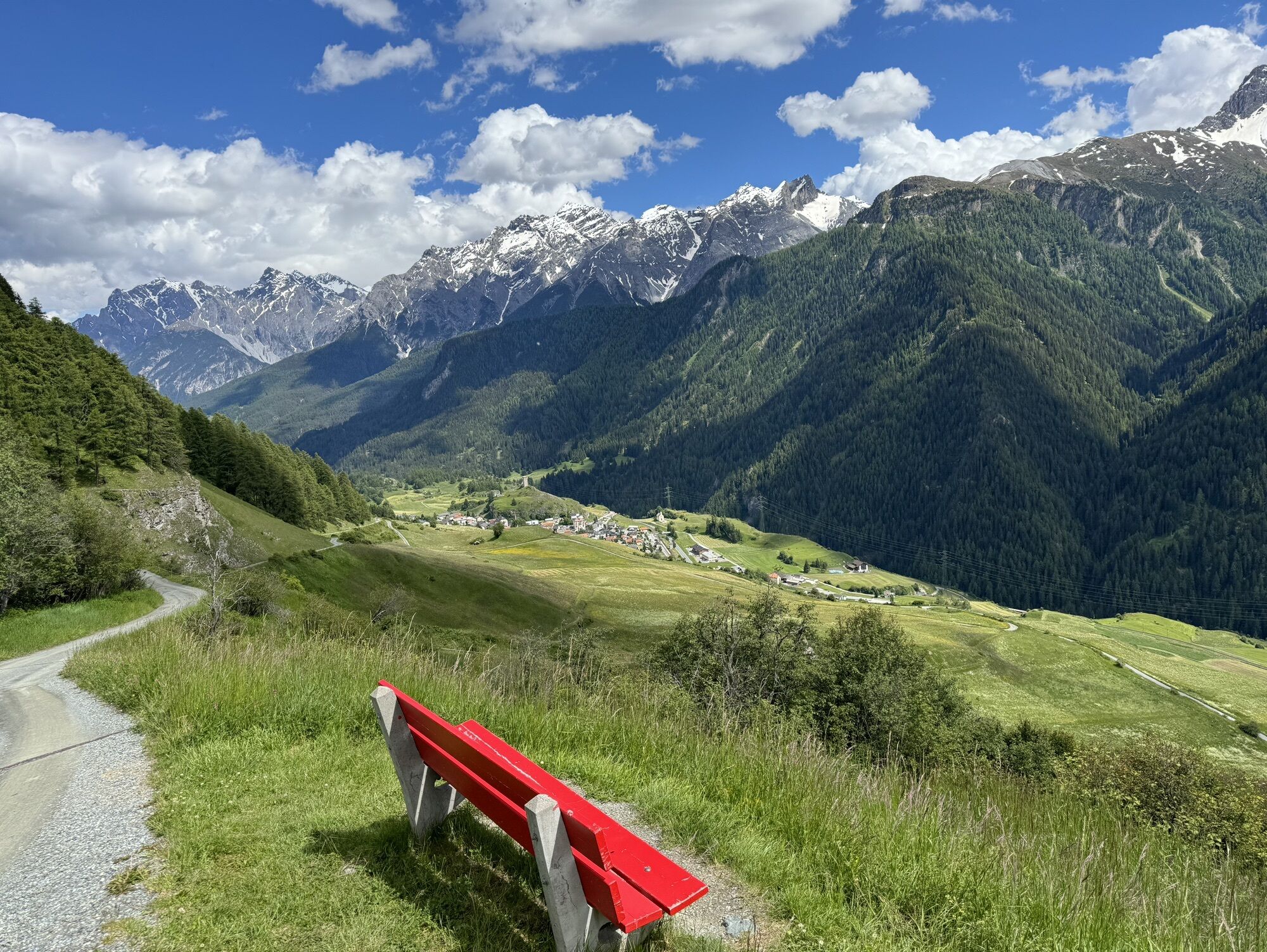
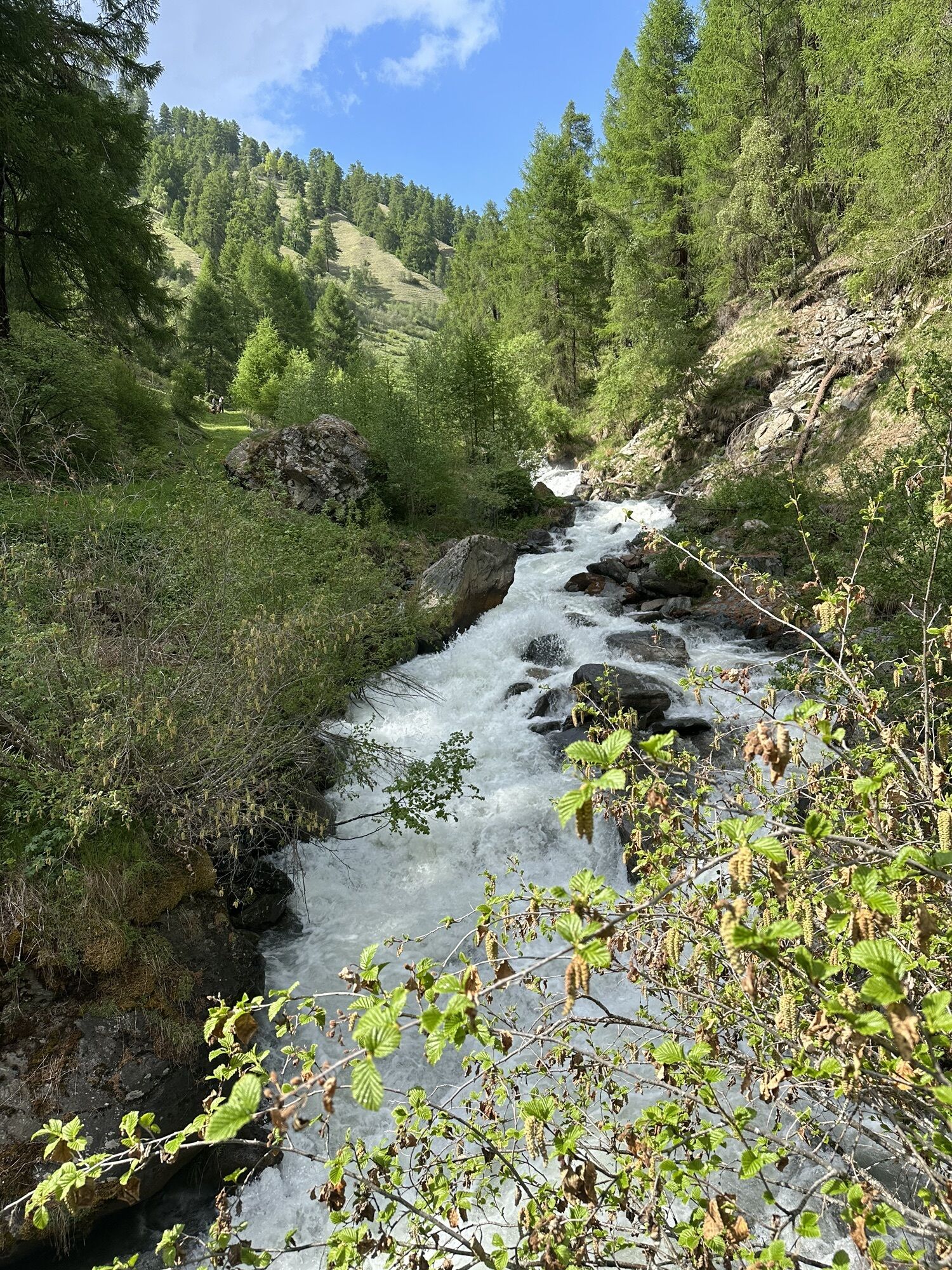
The scenic hike on the sunny slope of the Lower Engadine leads through striking Engadine villages such as Lavin, Guarda, Ardez, and Ftan. Narrow streets with sgraffito-decorated houses invite exploration. Between the villages, the relatively easy path leads through natural areas with magnificent views of the Engadine mountain world. In spring, the diverse flora can be admired; in autumn, the golden colors.

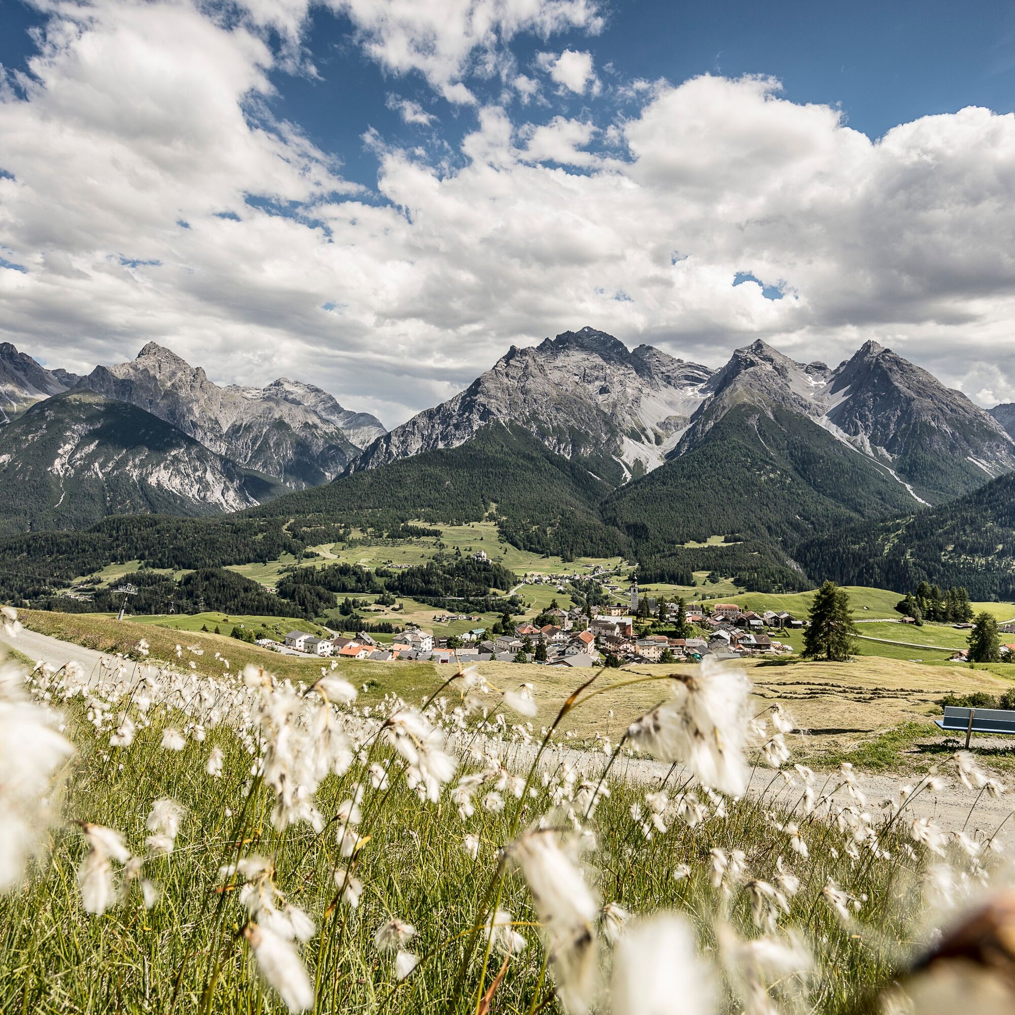

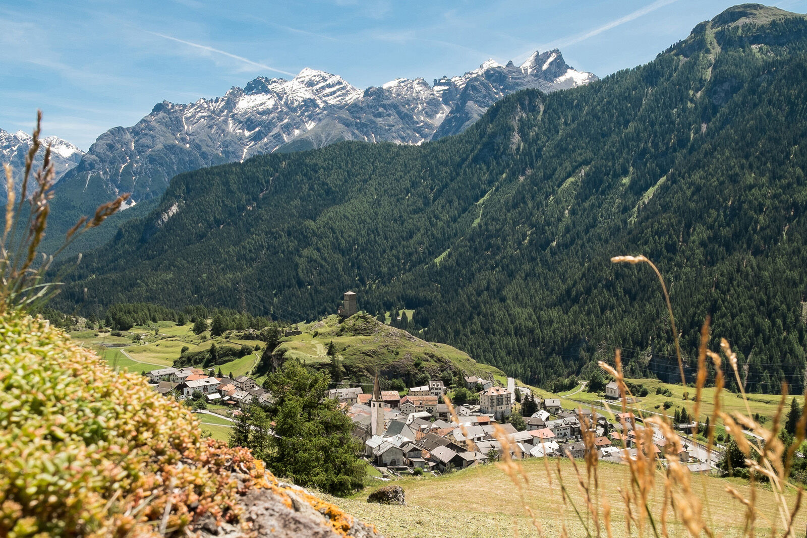
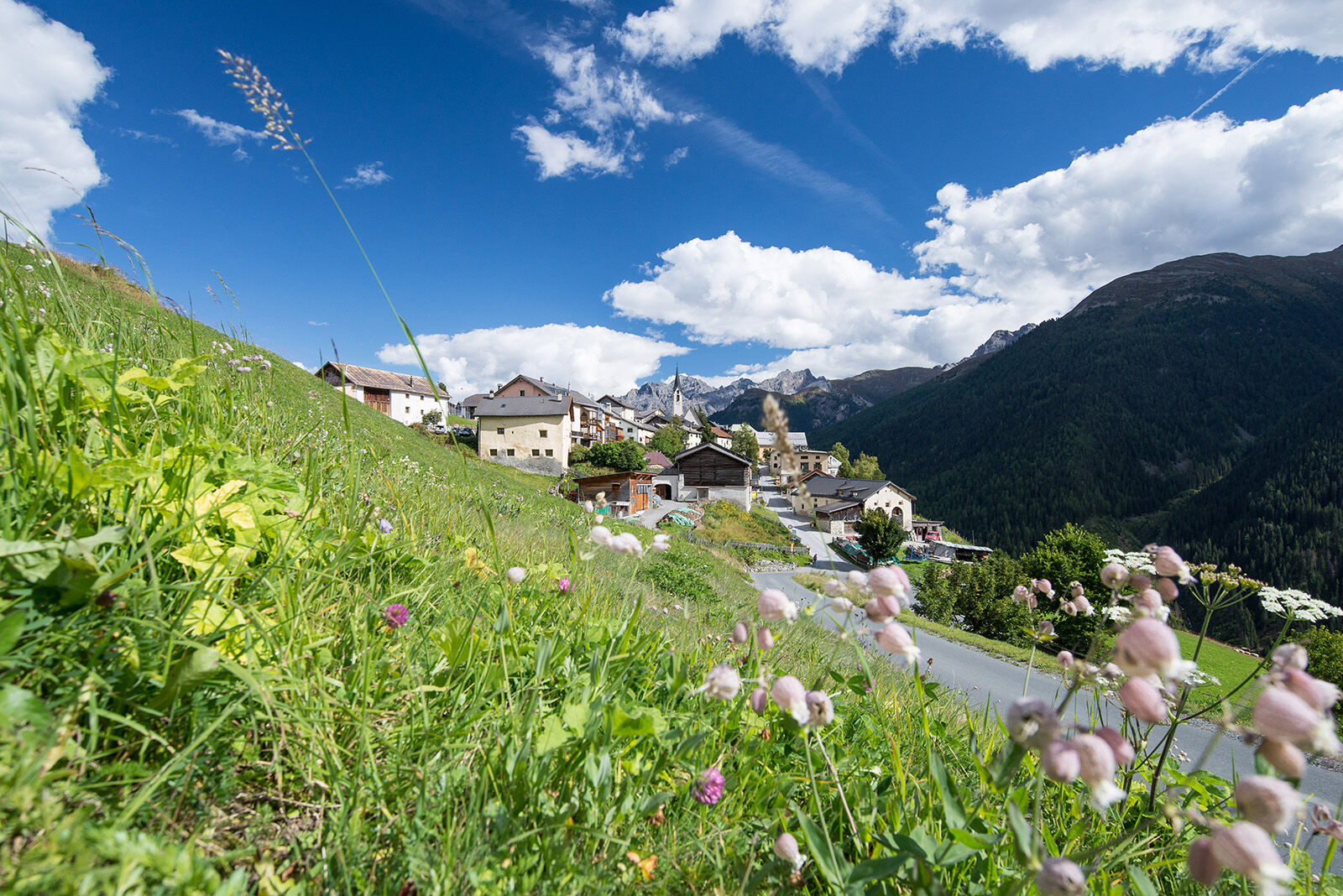

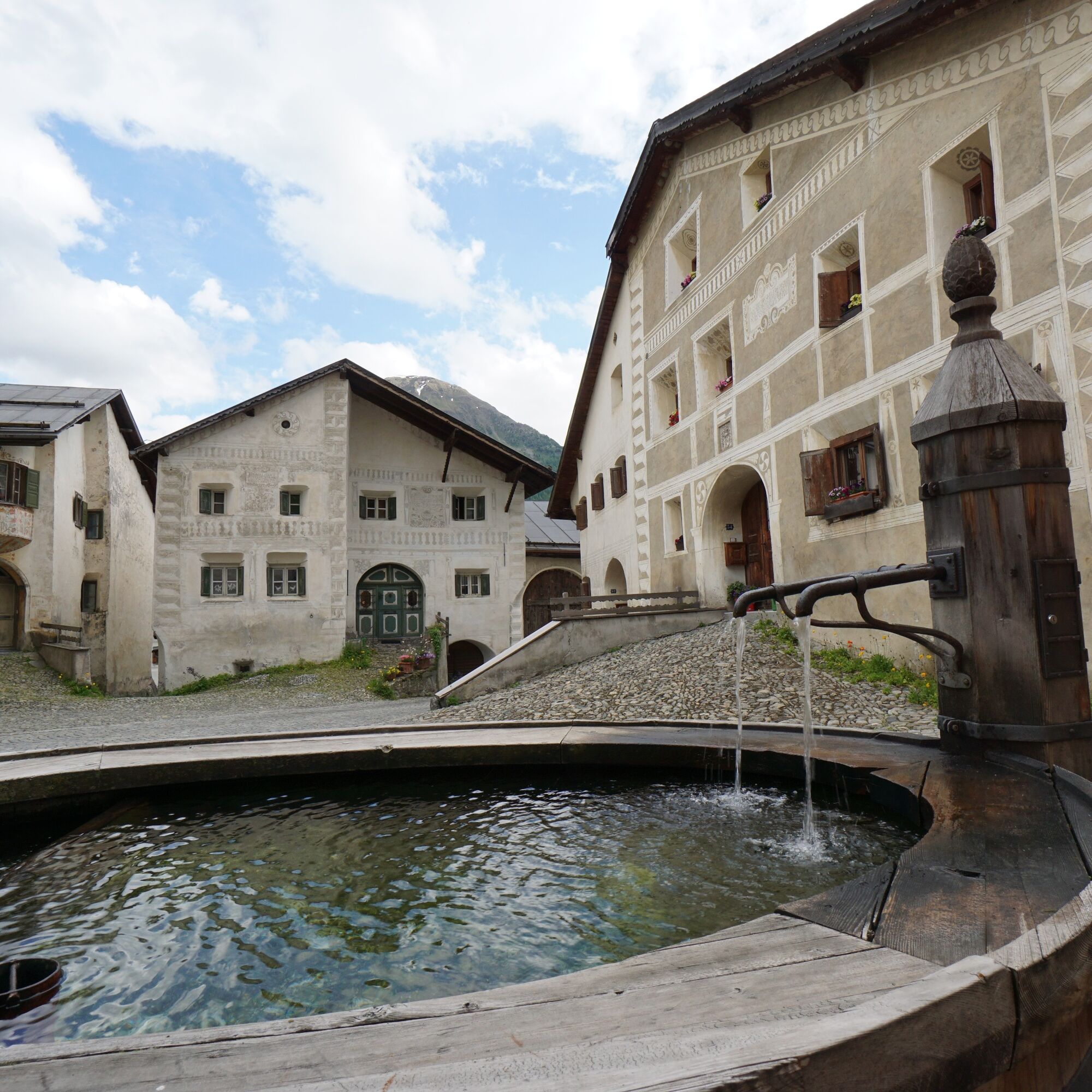

From the train station in Lavin, follow the signposts to Guarda. The path steadily rises into the village, high above the Inn. After crossing through the village, a rarely used small road leads to the hamlet Bos-cha. Immediately behind it, you can either follow the path towards Ardez or choose a slightly higher variant on a mountain hiking trail that offers more nature.
After a recommended detour into Ardez, follow the signs to Ftan. The path runs gently uphill past the Chanoua ruins. Shortly afterwards, for a short stretch, it goes slightly downhill on a little-used road. Immediately after the bridge over the Tasnan wild stream, turn left to follow the hiking trail towards Ftan after a few meters. After a short stretch through the forest, cross the road and pass by Hotel Paradies directly into the village. At the exit of Ftan, there is the option to follow the lower or upper hiking path down to Scuol. The upper route is a bit longer and steeper when walking downhill but perhaps also more scenic.
The hike can of course also be wonderfully done from Scuol to Lavin.
Ano
Sturdy footwear, sun protection
The route was rated under favorable weather conditions; current weather conditions and forecasts must be observed before starting the hike.
Emergency Numbers:
144 Emergency, First Aid
1414 Mountain Rescue REGA
112 International Emergency Number
From the north: via Landquart – Klosters by car shuttle through the Vereina Tunnel (Selfranga - Sagliains) or via the Flüela Pass into the Lower Engadine on H27
From the east: via Landeck / Austria towards St. Moritz on H27
From the south: via Reschen Pass (Nauders-Martina) or Ofen Pass (Val Müstair-Zernez) on H27
Hourly service by the Rhaetian Railway (from Chur, Landquart/Prättigau, Scuol or Upper Engadine) to Lavin
Paid parking spaces at the train station in Lavin
Travel by Rhaetian Railway is recommended as this is a point-to-point route
Near Ardez, a visit to the Ruins of Steinsberg is worthwhile, which tower above perhaps the most original Engadine village.

Webové kamery z prohlídky
Získejte přehled
Vždy živě na místě s více než 9 500 webkamerami. bergfex Jako uživatel Pro si nyní můžete zobrazit odpovídající webové kamery pro mnoho prohlídek v aplikaci prohlídky z. Můžete si tak přímo prohlédnout aktuální podmínky.
Oblíbené prohlídky v okolí
-
4.9
Hiking trail Piz Buin - view
středníTuristika 14.4 km -
4.7
Jamtal lodge
středníTuristika 19.6 km -
5.0
Großer Piz Buin (3.312m), Normalweg 2019 über Ochsentaler Gletscher
heavyVysokohorská turistika 24.1 km -
4.2
National Park: Margunet
světloTuristika 7.76 km -
3.0
Bielerhöhe - Vermuntkopf - Bielerhöhe
středníTuristika 17 km -
4.8
National park: Zernez – Munt Baselgia – Macun lakes – Alp Zeznina – Lavin
heavyTuristika 22.9 km -
Ascent of Hohes Rad and stop at the Wiesbadener Hut
heavyTuristika 15.8 km -
4.8
National Park: Grimmels (circular hike)
světloTuristika 6 km -
4.5
Tarasp Fontana – Sparsels – Lai Nair (circular route)
světloTuristika 7.67 km -
5.0
National Park: Chamanna Cluozza
středníTuristika 8.37 km
Pěší turistika a stopování


Nenechte si ujít nabídky a inspiraci pro vaši příští dovolenou
Vaše e-mailová adresa byl přidán do poštovního seznamu.





