


Senda lumneziana (Vrin - Ilanz)
Úroveň obtížnosti: T2
On this route, you can hike the Val Lumnezia - the Valley of Light - along its entire length. The paths are mostly easy, so you can fully enjoy the beautiful landscapes. Highlights include, among others,...
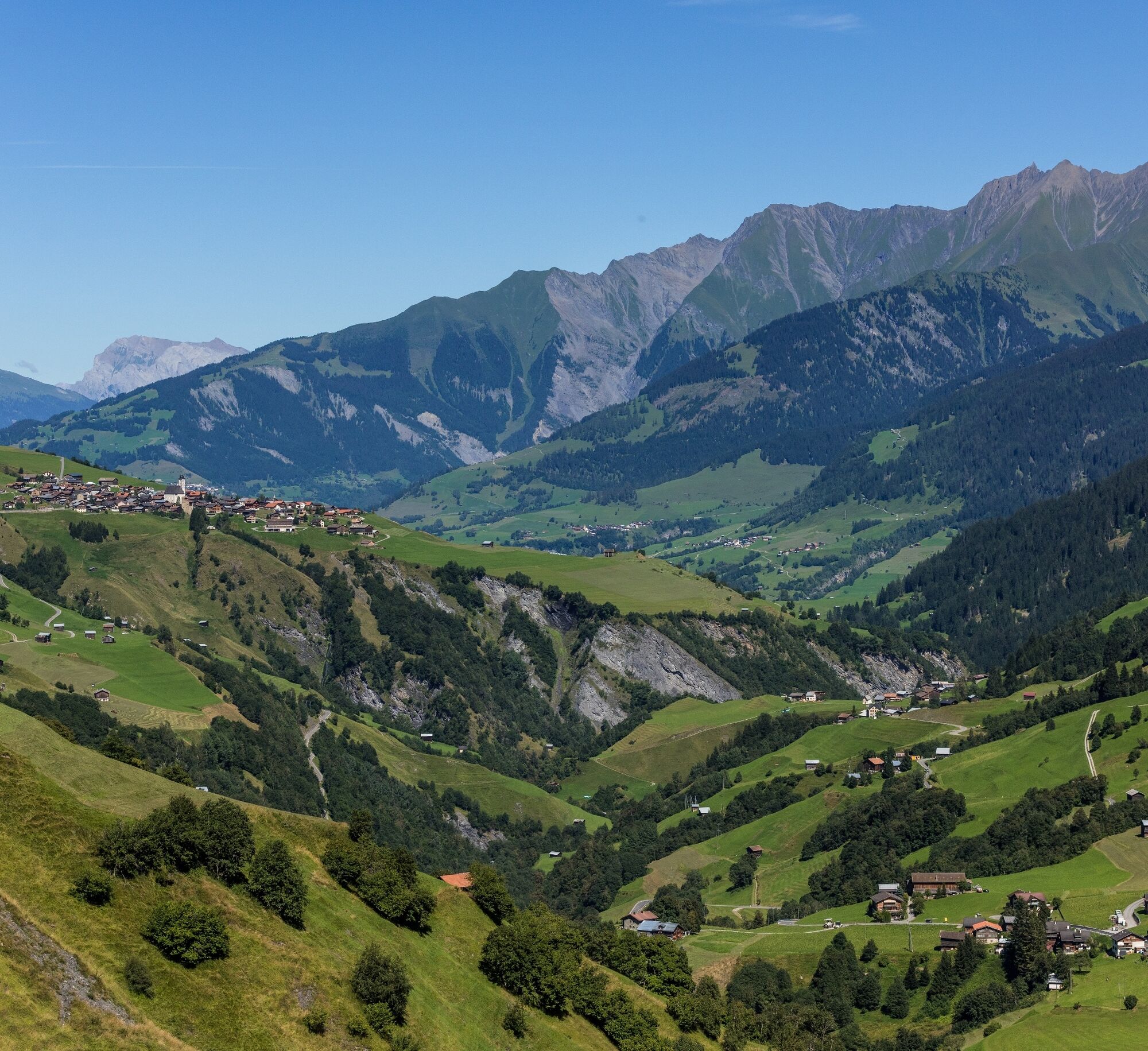
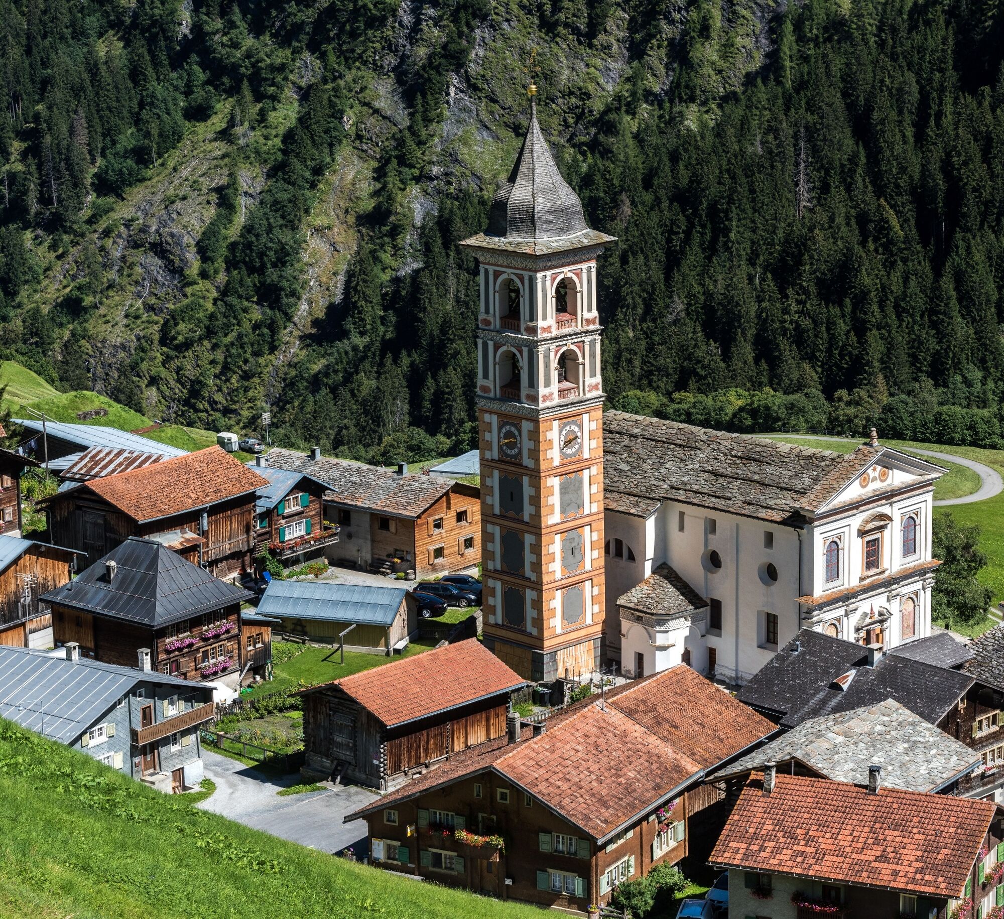
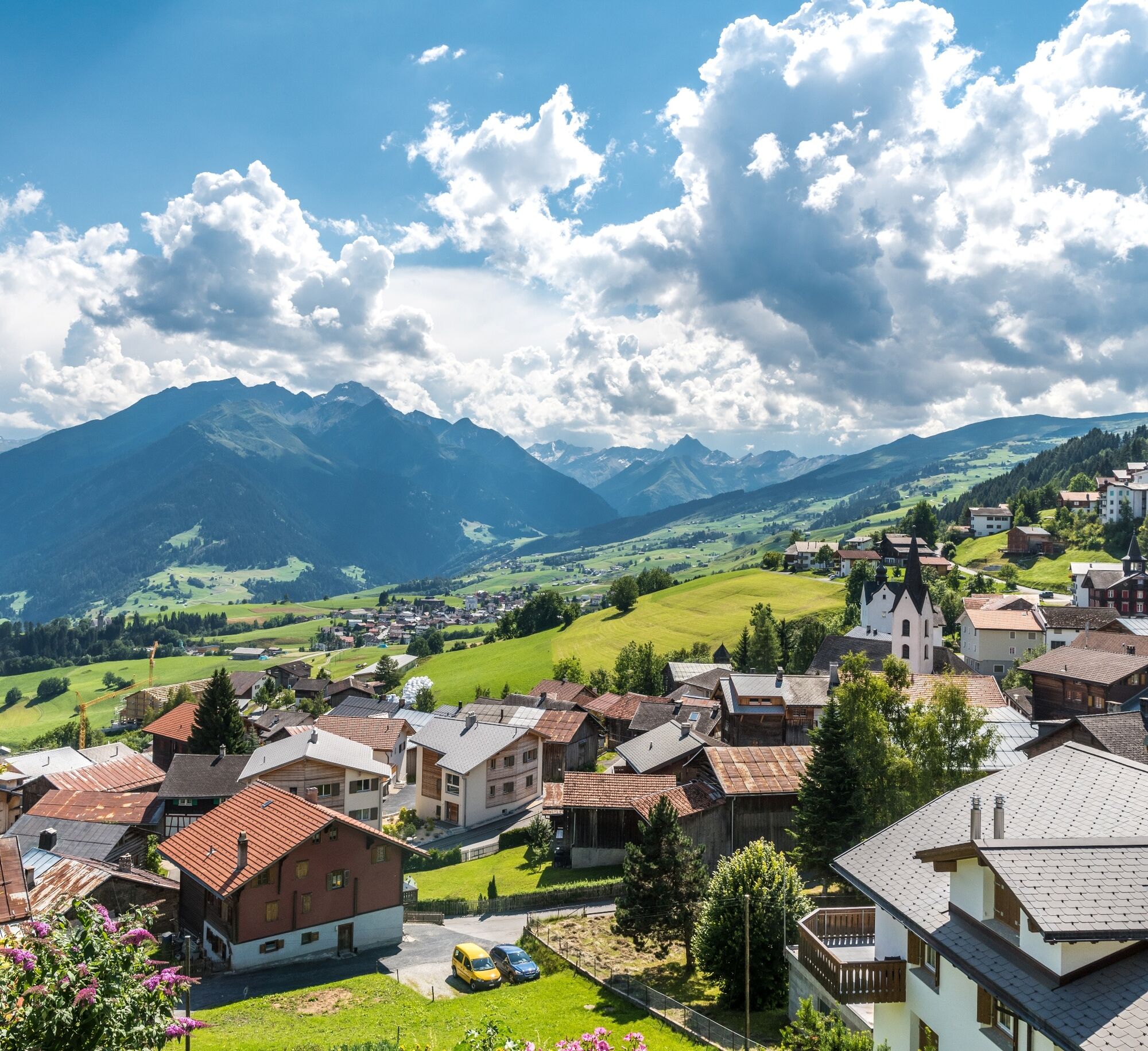
On this route, you can hike the Val Lumnezia - the Valley of Light - along its entire length. The paths are mostly easy, so you can fully enjoy the beautiful landscapes. Highlights include, among others, the award-winning village of Vrin, the impressive wooden bridge in the Val da Mulin, Luven with its covered village fountain, and finally the small town of Ilanz with its well-preserved historic buildings.
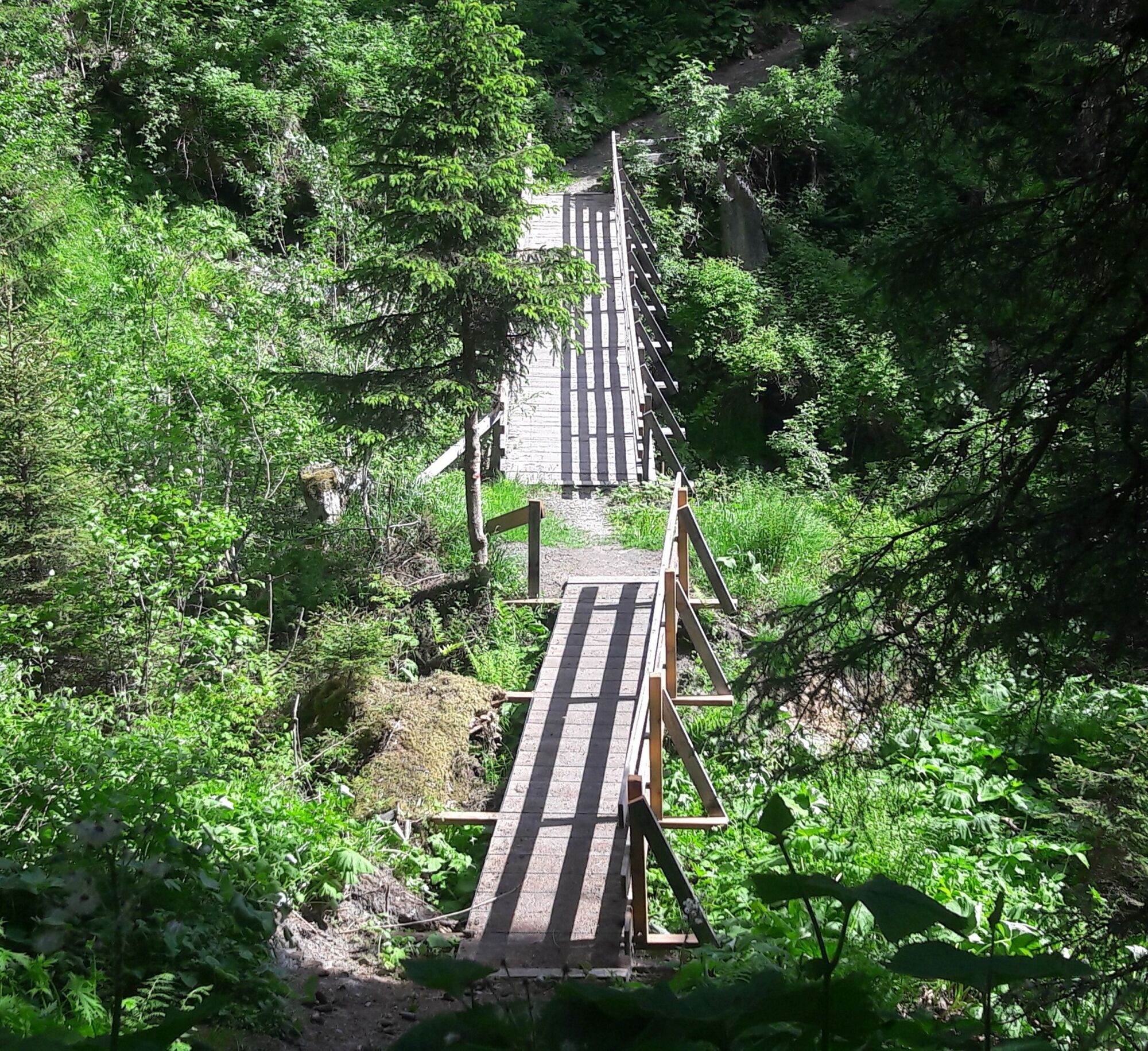
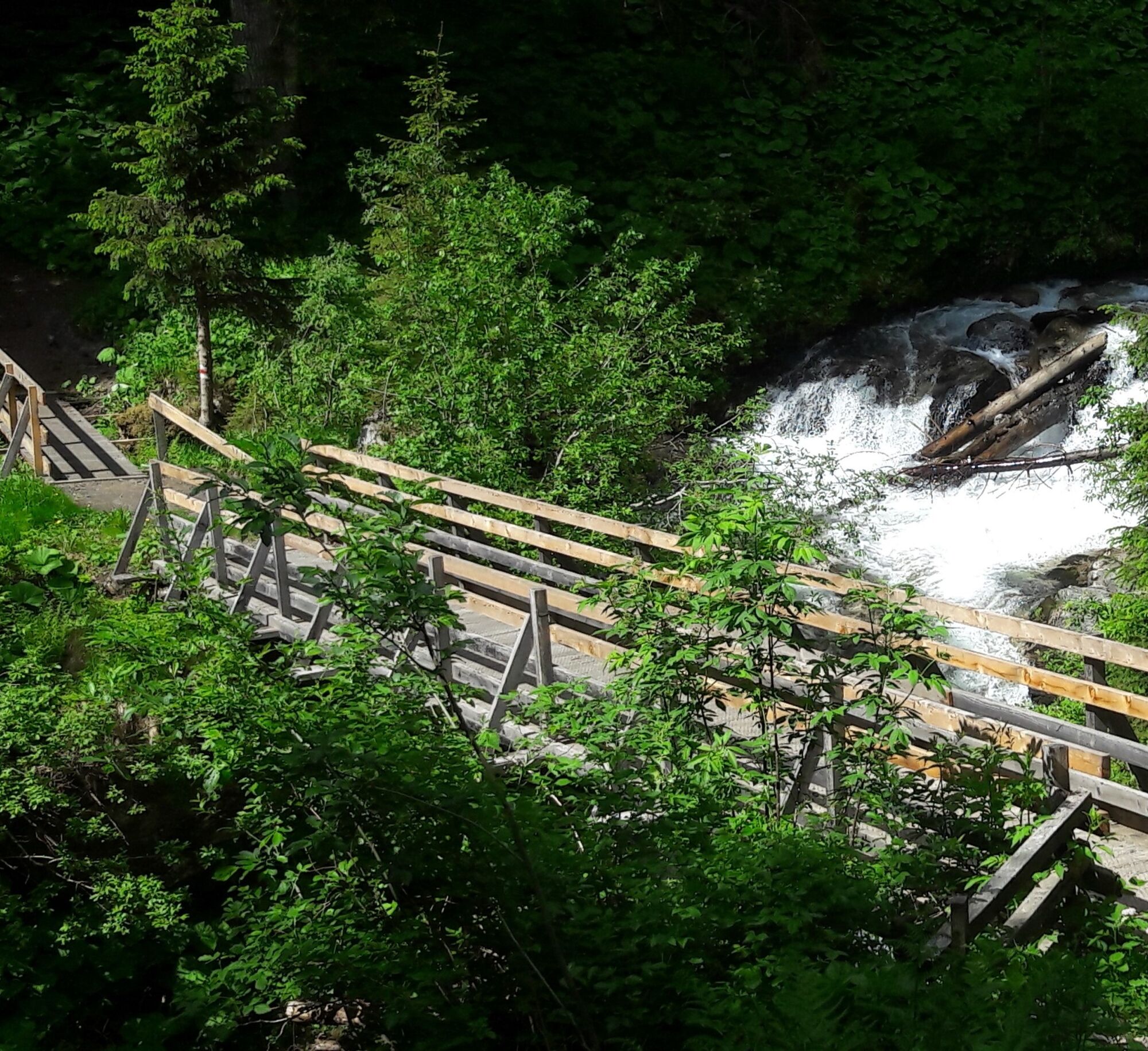
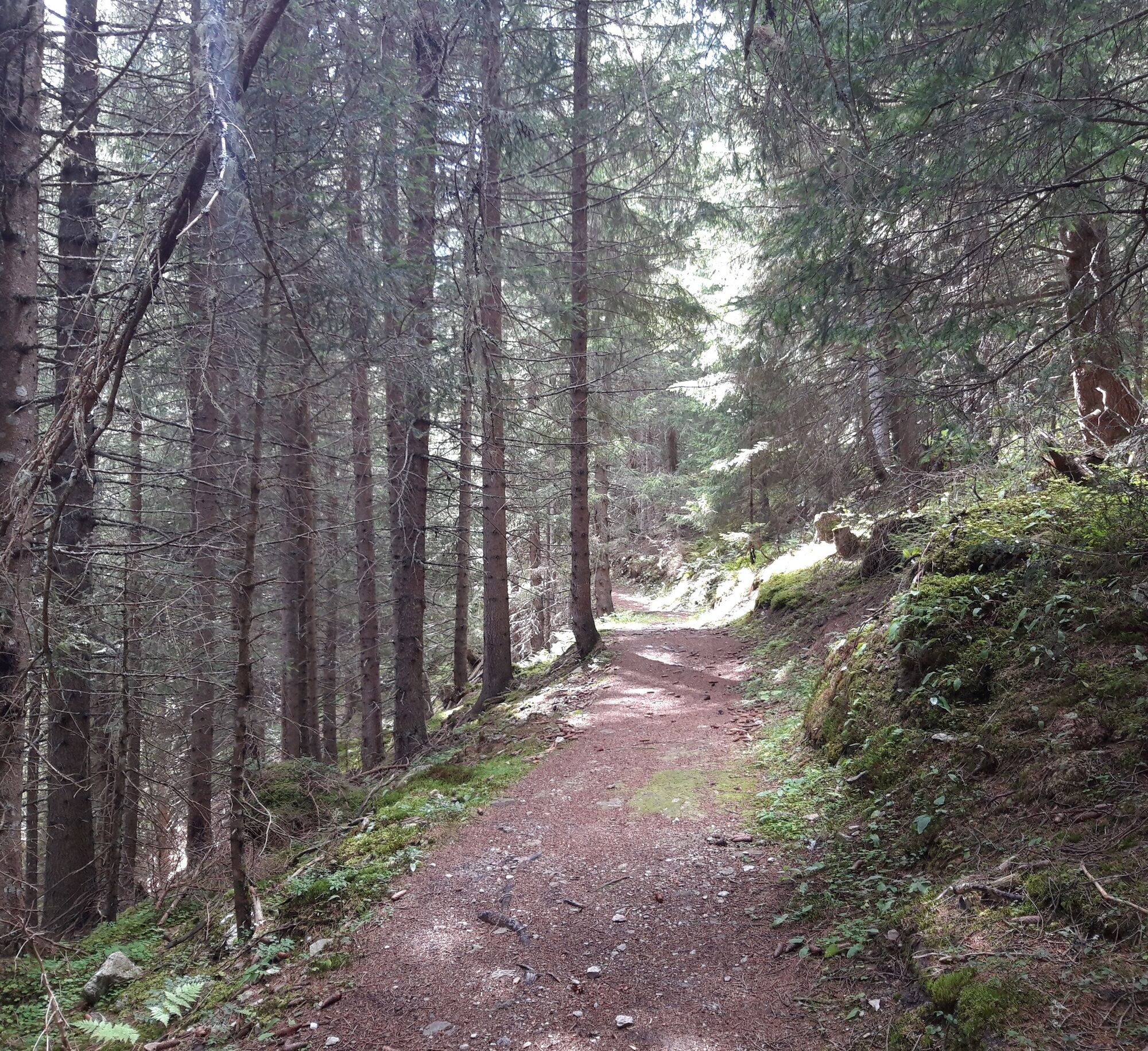
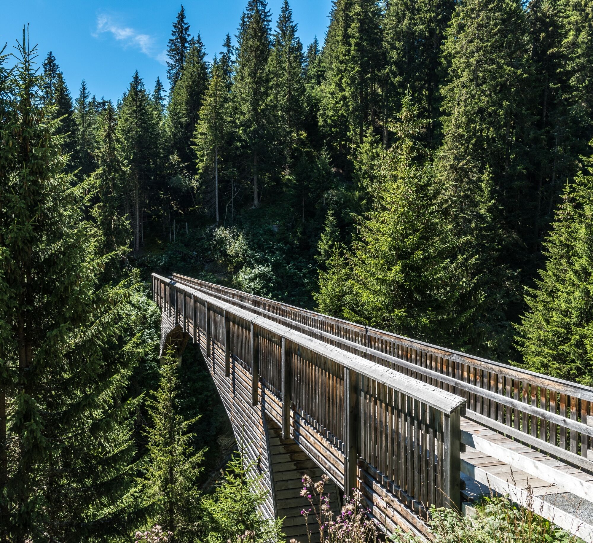
After a recommended village walk in Vrin, the hike begins in the direction of Lumbrein. The first 300 meters go along a lightly traveled cantonal road. In Mons, just after a 90° curve, the hiking trail branches off towards Lumbrein. The narrow path leads through lush spruce forest with rich ground vegetation to the Val Miedra and the alpine pastures above Nussaus. After a short ascent, you reach a panoramic trail with a magnificent view of Lumbrein. The wooden bridge over the Val da Mulin is undoubtedly one of the greatest attractions of hiking tourism in Val Lumnezia. The high trail leads over numerous alpine pastures with carefully maintained hay meadows and pastures.
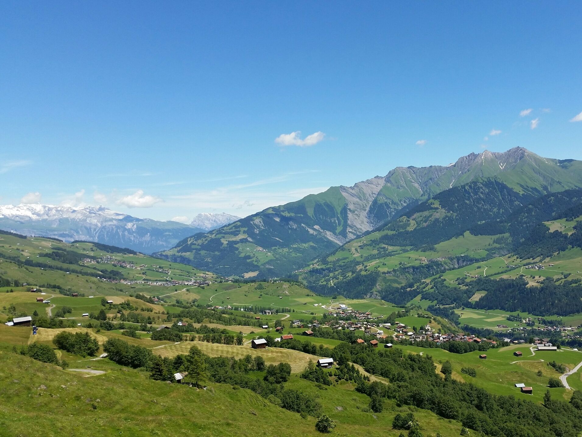
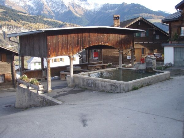
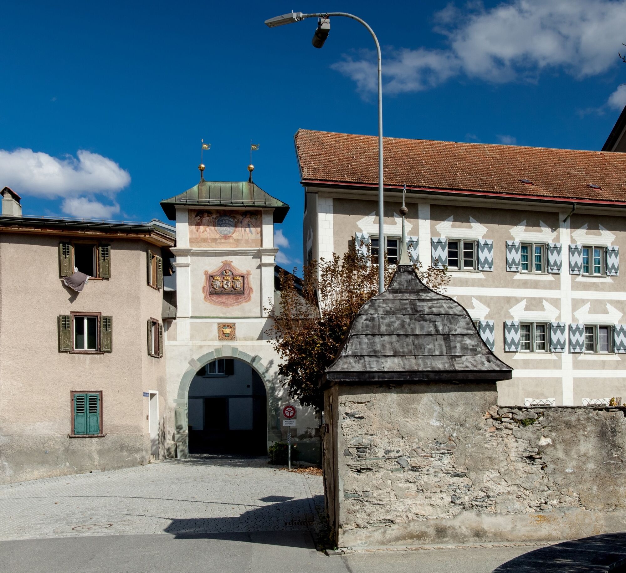
In Morissen, it is worth stopping to admire the beautiful wooden houses. Afterwards, a wide loop goes downhill along a field path to the hay barns of Scansins. First through forest, then through meadows and marshy terrain, the view opens to the Gruob, where after the Flims rockslide the Ilanzer Lake was once dammed. In the picturesque village of Luven, you can take a look at the opposite mountain range of Piz Signina and Piz Fess. Then continue through the forest with its impressive beeches and mountain maples, past the church Sogn Martin down to Ilanz, the first town on the Rhine.
See also
Surselva Tourism AG
Info Lumnezia
Palius 32 D
CH-7144 Vella
Tel.: 0041 81 931 18 58
E-mail: vallumnezia@surselva.info
Internet: www.surselva.info

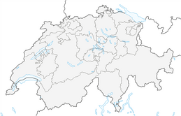
Vrin - Val Miedra - Nussaus - Val da Mulin - Prau Davon - Tschanabrels - Crusch - Triel - Morissen - Scansins - Luven - Ilanz
Good hiking shoes with good tread, weather-appropriate clothing (rain jacket/sun protection), change of clothes, first aid kit, drink, provisions, possibly walking sticks.
If the weather is uncertain, the route should not be started. Weather changes in the mountains are frequent. If a rain front or similar comes up during the hike, you should turn back in time.
To Vrin from Ilanz via Vella
To Ilanz via Flims
PostBus line 90.441 Ilanz - Vrin, stop Vrin
Ilanz: Market square
Vrin: At the school. Turn left before Casa Leon bakery
T2
Points of interest: Vrin, wooden bridge Val da Mulin, village fountain Luven, church Sogn Martin, old town of Ilanz
Places to eat: Vrin, Triel, Morissen, Luven, Ilanz
Oblíbené prohlídky v okolí
-
4.8
Rheinschlucht: From Ilanz to Versam into the heart of the Rheinschlucht
středníTuristika 11.4 km -
5.0
High valley Val Frisal
heavyTuristika 12.4 km -
4.3
Circular hike: Falera-Curnius-Alp Dadens-Falera
středníTuristika 11.4 km -
5.0
Circular route: Lake Cauma - Rhine Gorge "Swiss Grand Canyon"
středníTuristika 19.8 km -
5.0
Hiking route Suspension Bridge Val da Tersnaus
středníTuristika 3.24 km -
Piz Fess 2880m, the proud one
heavyTuristika 12.8 km -
5.0
Panorama route
světloTuristika 5.39 km -
4.7
Dutjer Alp - magnificent view
středníTuristika 8.23 km -
5.0
Winter hike Gadastatt - Frunt - Zerfreila (Panorama trail)
světloZimní turistika 5.36 km -
Rhine Gorge/Ruinaulta: Ilanz - Reichenau
středníTuristika 21.2 km

Pěší turistika a stopování


Nenechte si ujít nabídky a inspiraci pro vaši příští dovolenou
Vaše e-mailová adresa byl přidán do poštovního seznamu.