






Hike through the oak forest

Úroveň obtížnosti: T1
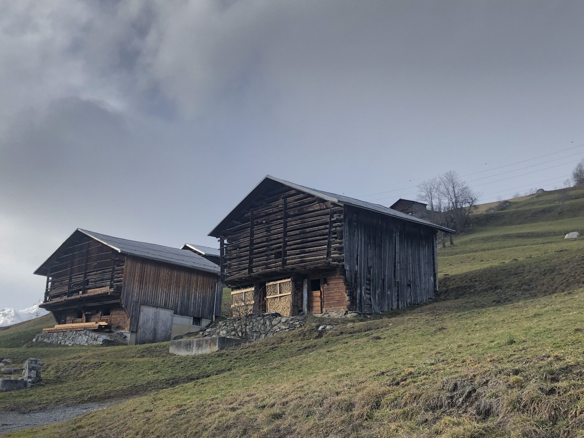
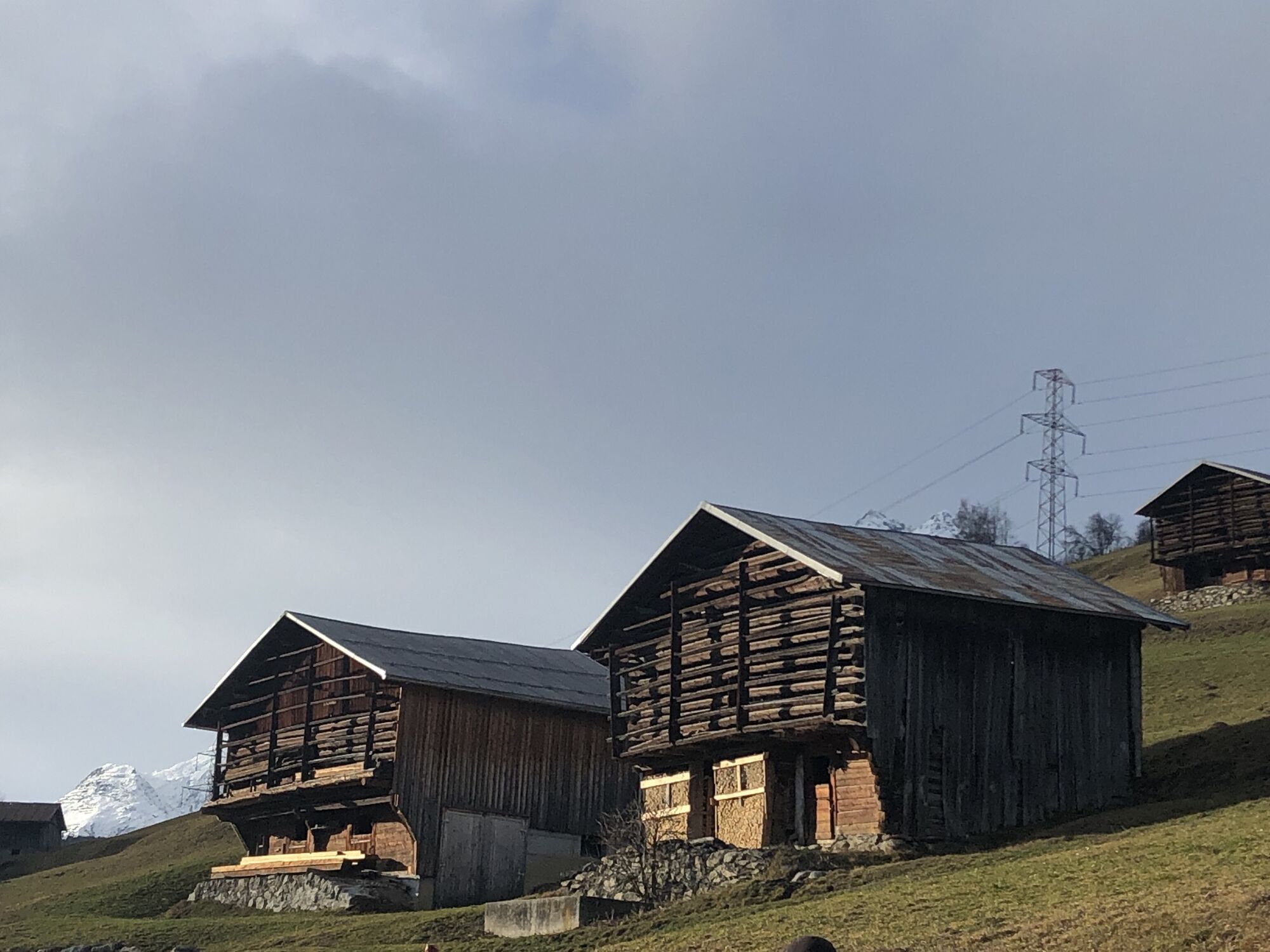
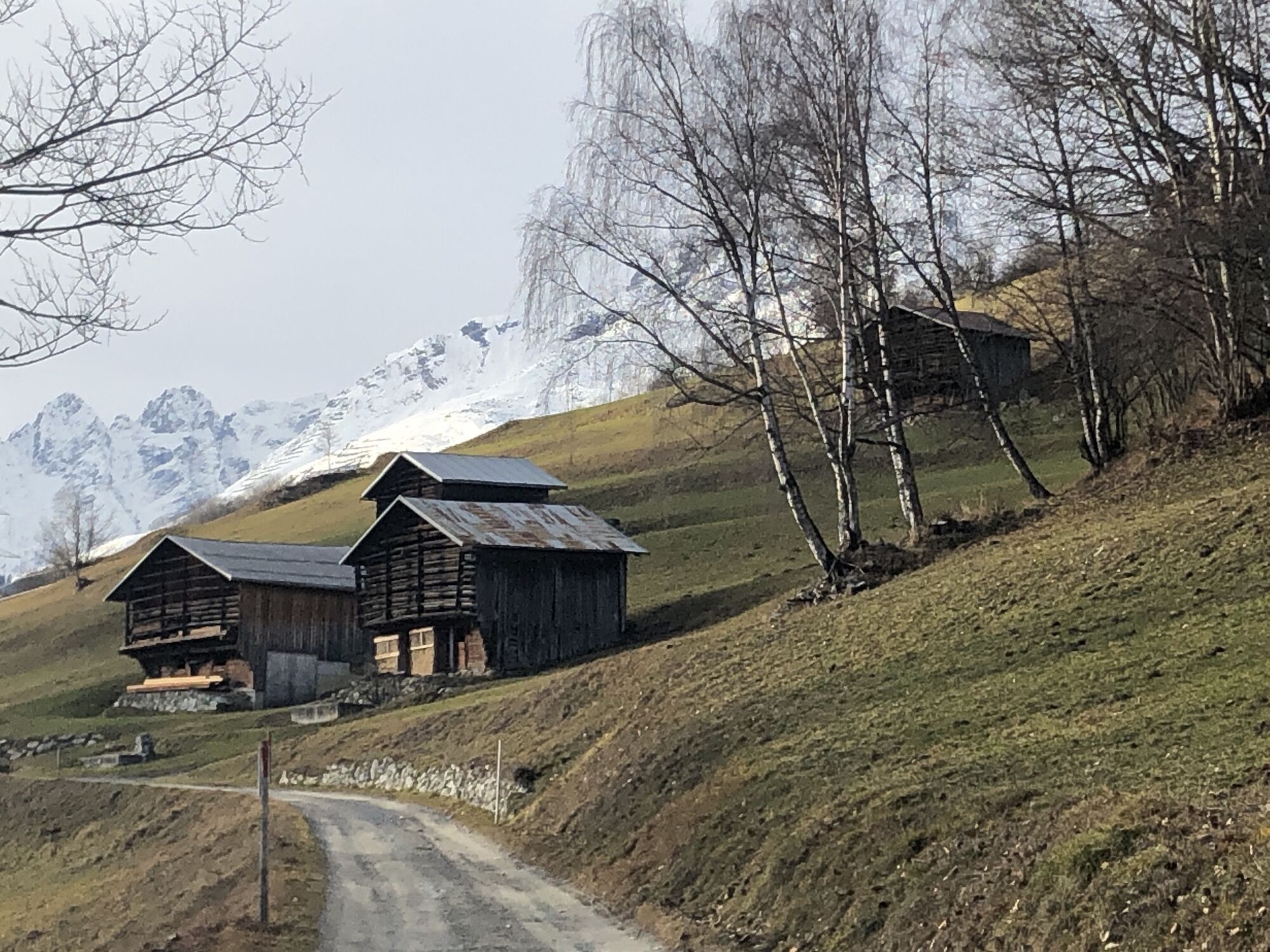
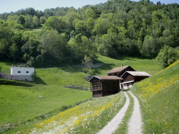
As a result of developments and land improvements, the Gadenstätte (Aclas) are losing importance and the buildings are falling into decay. The shrub landscape with dry meadows still offers great biodiversity,...
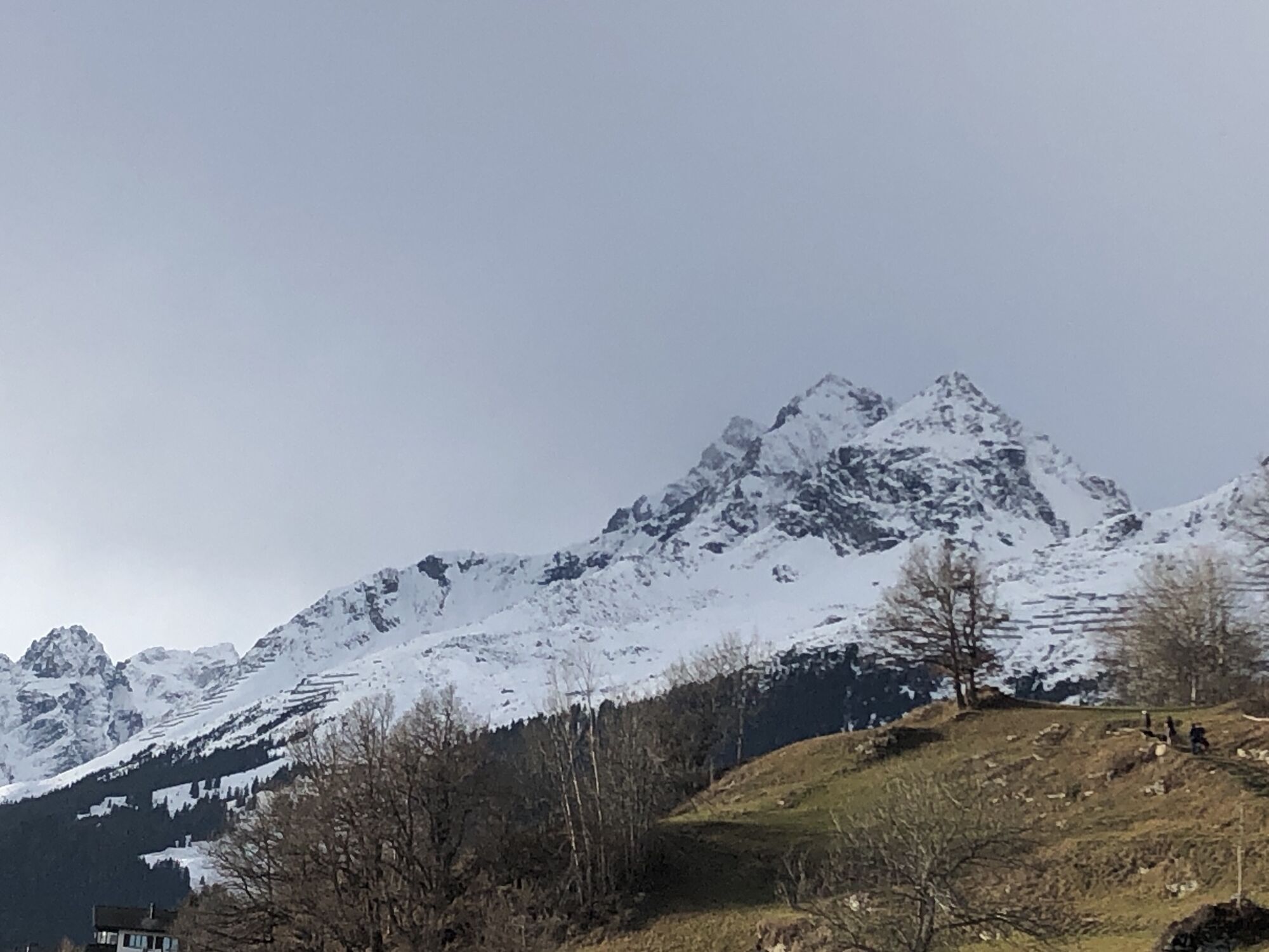
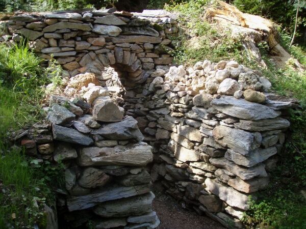
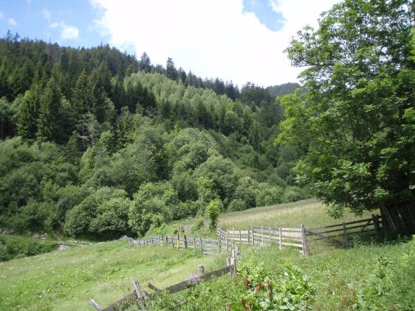
As a result of developments and land improvements, the Gadenstätte (Aclas) are losing importance and the buildings are falling into decay. The shrub landscape with dry meadows still offers great biodiversity, and the fairy-tale oak forests on blocky Verrucano rock are botanical highlights. The huge spruces along the hiking trail are also a wonder.
From Brigels, the trail passes Escherstein/Crest la Crusch down to the Aclas of Bacuns. There is an off-path detour to the unique oak forest of Bacuns. Back on the hiking trail, you descend to Run and at a sharp angle to the Aclas of Zaniz. Shortly thereafter, a initially steep path branches off from the land improvement road into the Uaul Zaniz. This path is well marked, gradually flattens, and leads over Carneglias to Dardin/Mulin. Now follow the Senda Sursilvana back to Brigels.
See also
Surselva Tourismus AG
Info Brigels
Casa Sentupada
Via Principala 32
CH-7165 Breil/Brigels
Tel. 0041 81 941 13 31
E-Mail: brigels@surselva.info
Internet: www.surselva.info

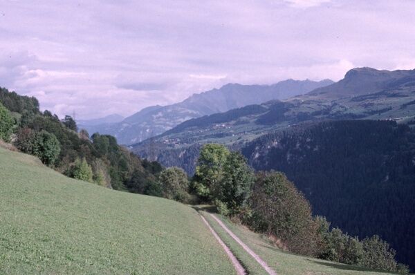
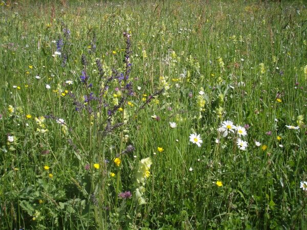
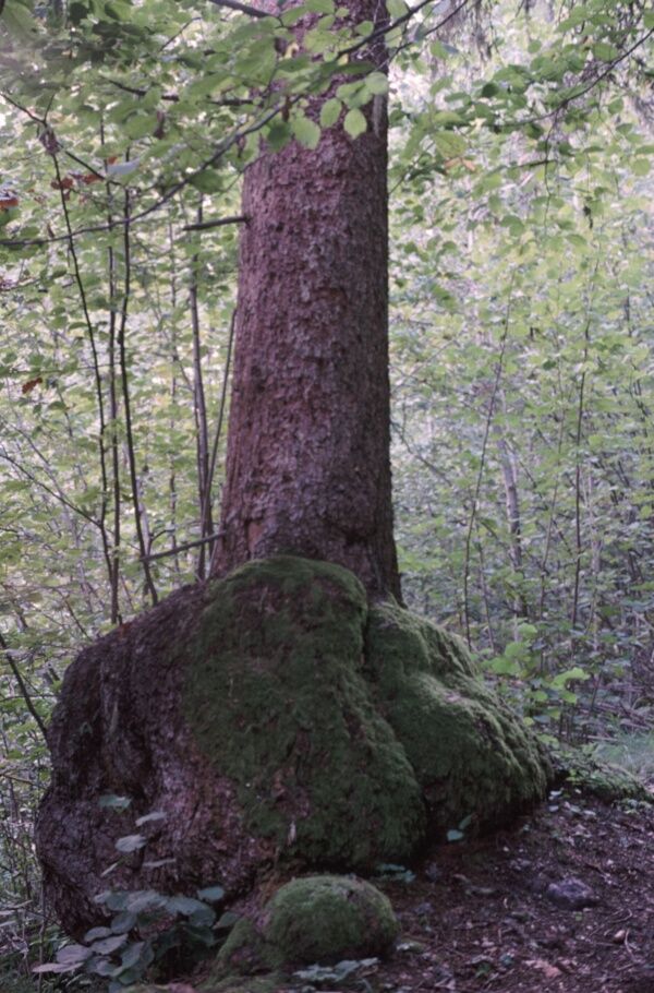
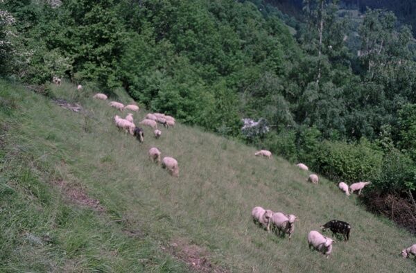


Brigels - Crest la Crusch - Bacuns - Run - Zaniz - Uaul Zaniz - Carneglias - Dardin/Mulin - Senda Sursilvana - Brigels
Ano
Good hiking boots with a good tread, weather-appropriate clothing (rain jacket), possibly a change of clothes, first-aid kit, drink, food, possibly hiking poles.
The route should not be started in uncertain weather conditions. Weather changes in the mountains are common. If a rain front or similar approaches during the hike, you should turn back in time.
Please make sure to take enough drinks with you as there is no water source on this hiking trail.
By post bus from Tavanasa station to Brigels, casa communala.
T1
The trail markings in the description of this route are based on the 1:25000 hiking map for Brigels, Waltensburg, Andiast. The hiking map is available at the Brigels tourist office, at the Volg stores in Andiast and Waltensburg, and at Hotel Postigliun in Andiast.
The hiking route is marked white-red-white. There is no path from Bacuns to Uvreu da Bacuns. From Danis, it is possible to visit the beautiful oak forest Uvreu da Danis.
Webové kamery z prohlídky

Oblíbené prohlídky v okolí
-
4.9
Rheinschlucht: From Ilanz to Versam into the heart of the Rheinschlucht
středníTuristika 11.4 km -
5.0
Kalktrittli - Nüschentäli - Muttsee - Obersee - Muttenchopf - Mörtel - Limmerensee - Kalktrittli (durch Stollen)
středníTuristika 14.8 km -
5.0
High valley Val Frisal
heavyTuristika 12.4 km -
3.8
Circular hike: Falera-Curnius-Alp Dadens-Falera
středníTuristika 11.4 km -
4.5
Panorama ridge hike: Crap Sogn Gion - Fuorcla - Alp Nagens
středníTuristika 9.44 km -
5.0
Hiking route Suspension Bridge Val da Tersnaus
středníTuristika 3.24 km -
4.7
Dutjer Alp - magnificent view
středníTuristika 8.23 km -
Panoramic route between Piz Mundaun and Péz Sezner
středníTuristika 6.75 km -
4.5
Trail run: Pigniu - Panixersee - Pigniu
středníTrailrunning 8.32 km -
5.0
Kistenpasshütte-Breil/Brigels
středníTuristika 13.7 km
Pěší turistika a stopování


Nenechte si ujít nabídky a inspiraci pro vaši příští dovolenou
Vaše e-mailová adresa byl přidán do poštovního seznamu.





