


Maloja - Lunghin Watershed - Casaccia
Fotografie našich uživatelů
-
 © Carlo NefVytvořeno dne 26.09.2023
 -

 © Matthias StollaVytvořeno dne 09.08.2025
 -
 © Matthias StollaVytvořeno dne 09.08.2025
 -
 © Matthias StollaVytvořeno dne 09.08.2025
 -
 © Matthias StollaVytvořeno dne 09.08.2025
 -
 © Matthias StollaVytvořeno dne 09.08.2025
 -
 © Carlo NefVytvořeno dne 26.09.2023
 -
 © Carlo NefVytvořeno dne 26.09.2023
 -
 © Mauro Del CurtoVytvořeno dne 11.06.2023
 -
 © Guido LovatiVytvořeno dne 12.02.2026
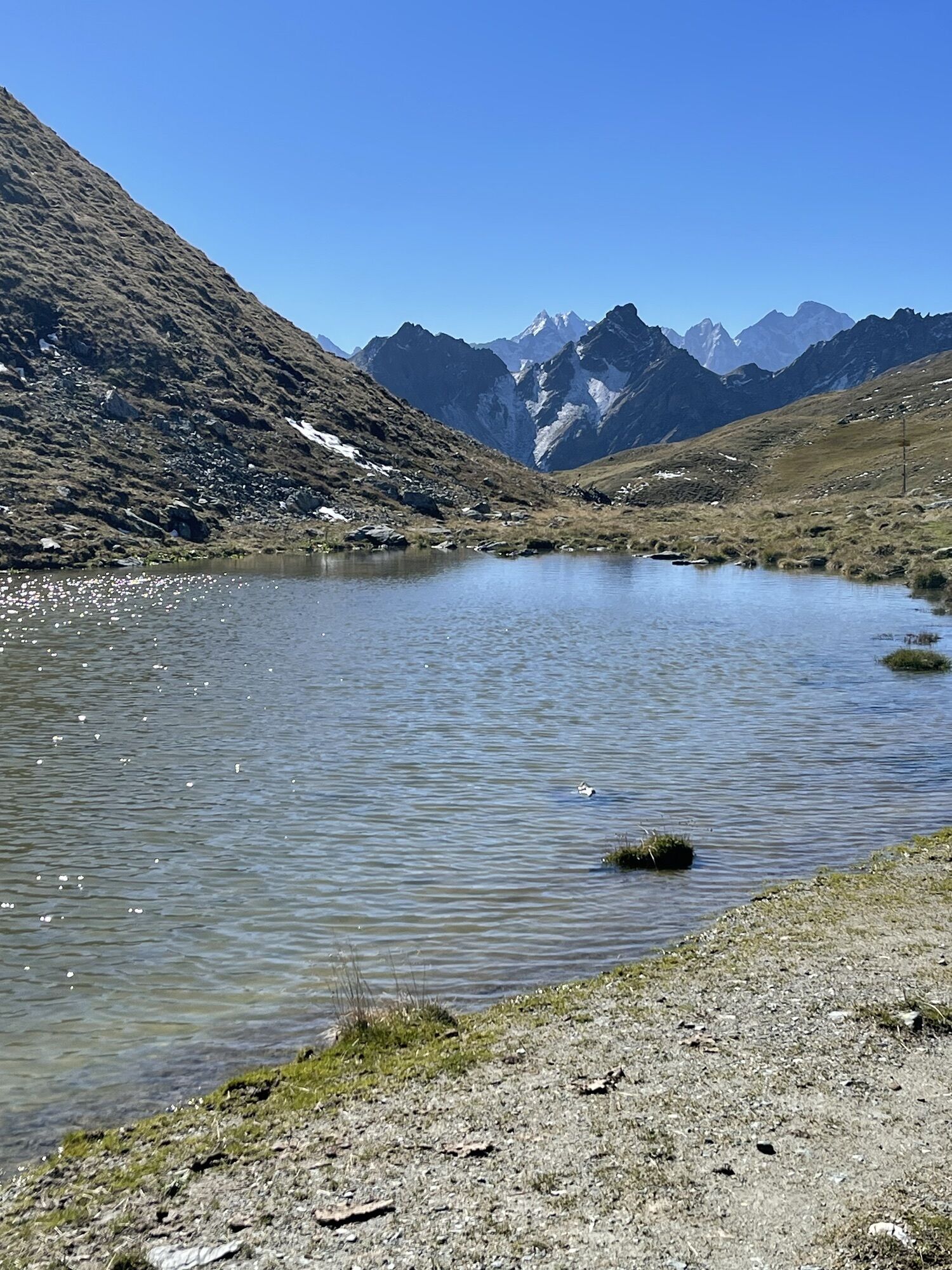
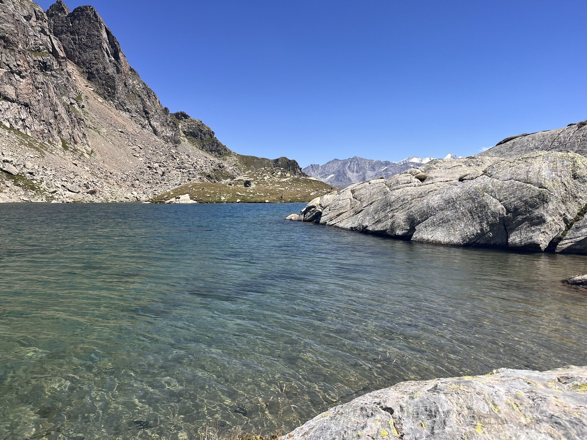

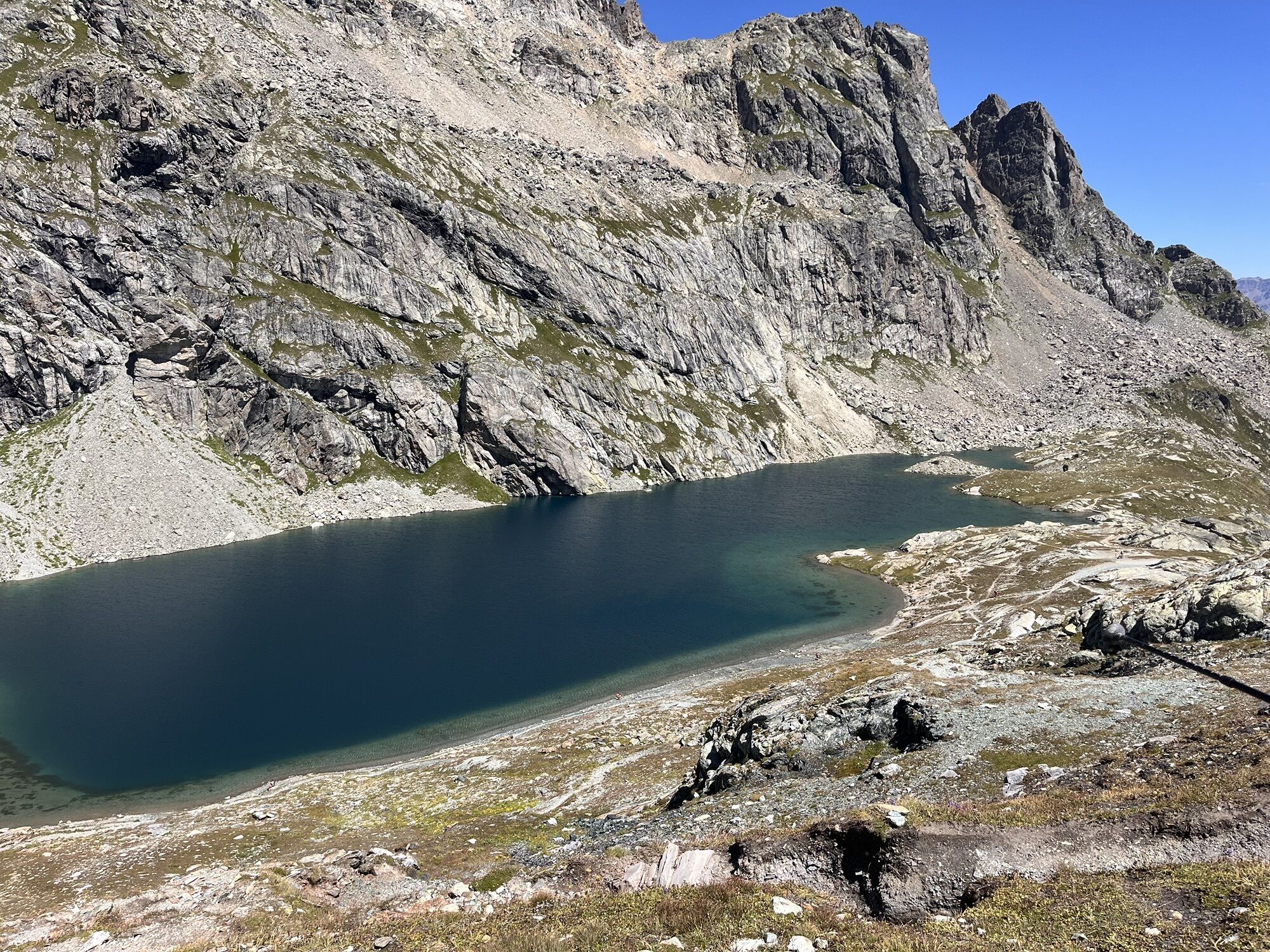
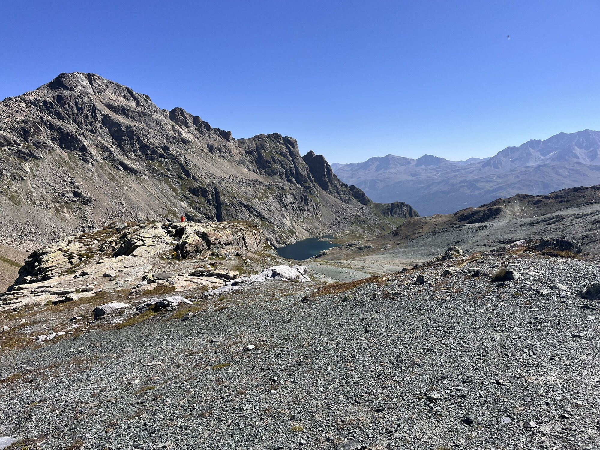


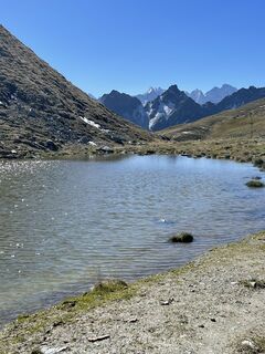
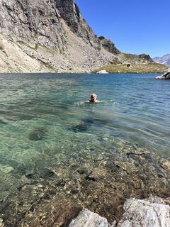
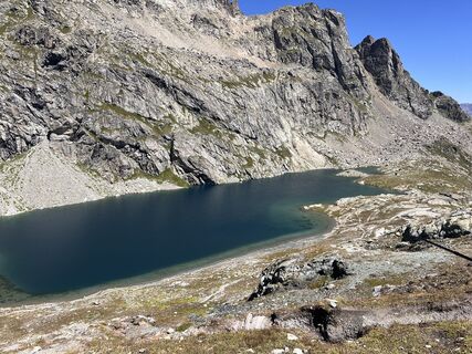
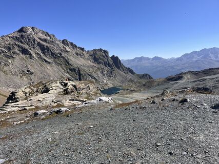
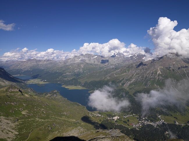
The hiking trail starts between the Maloja Palace Hotel and the Post Office. Passing Pila, the trail winds ever higher up the steep slope. Occasional rests are worthwhile because the view over the Upper...
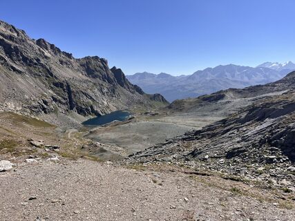
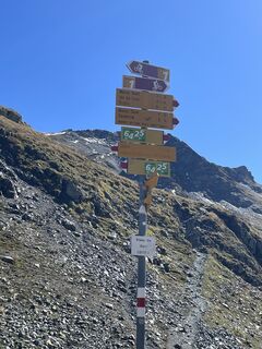
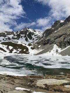
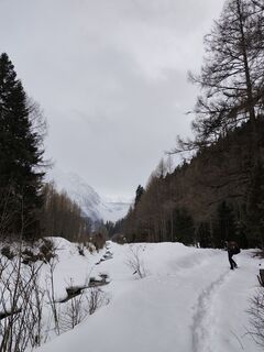
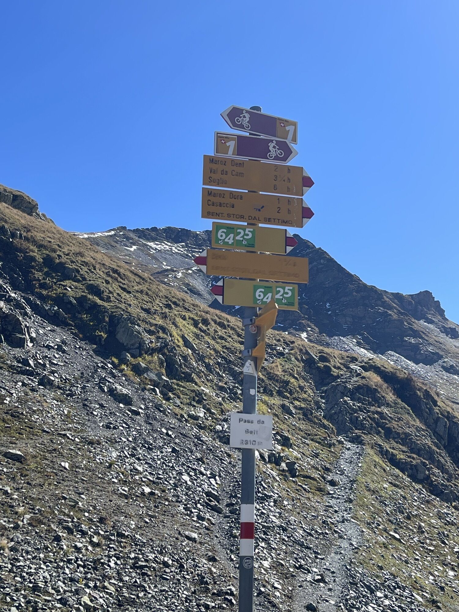
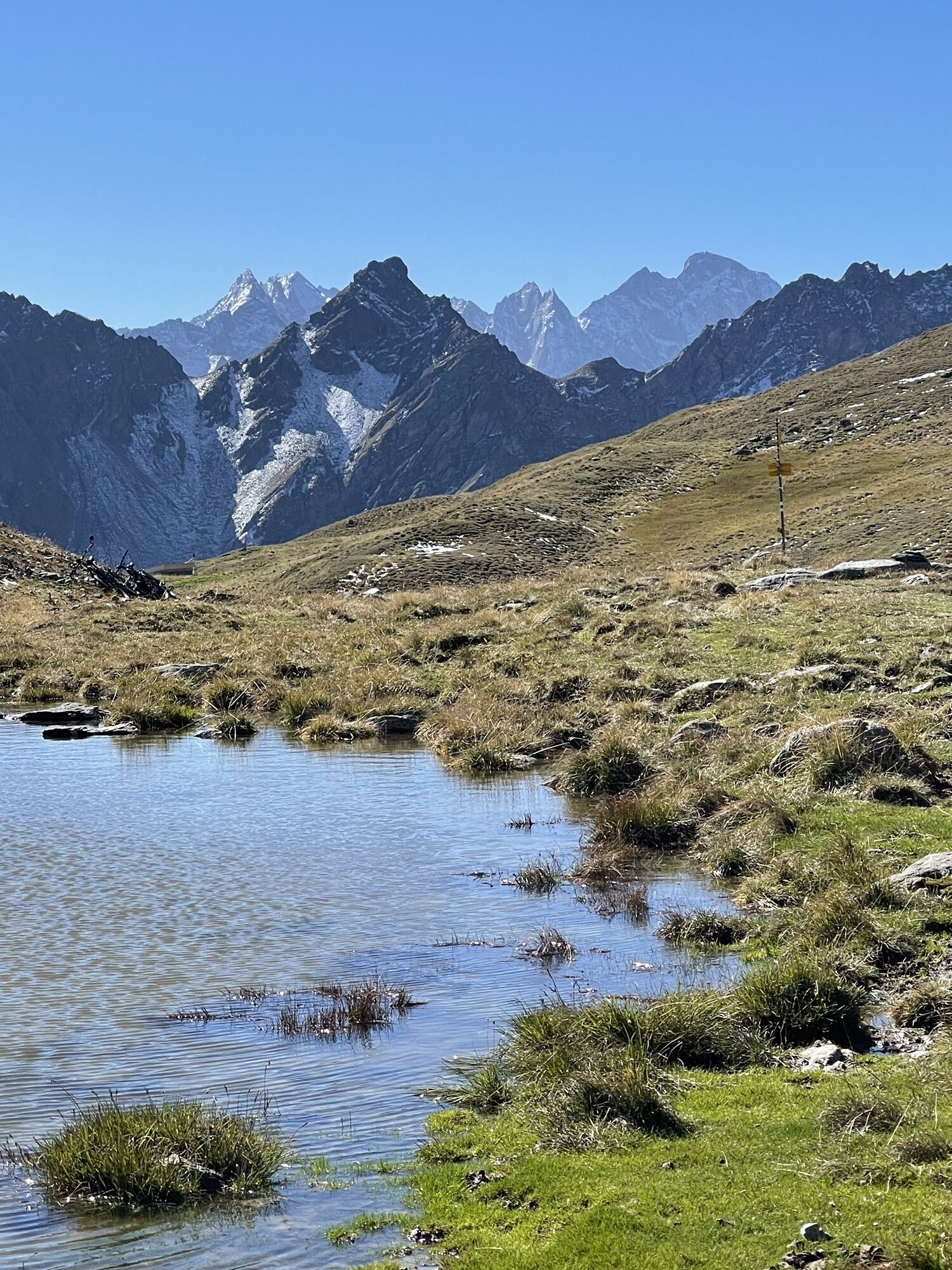
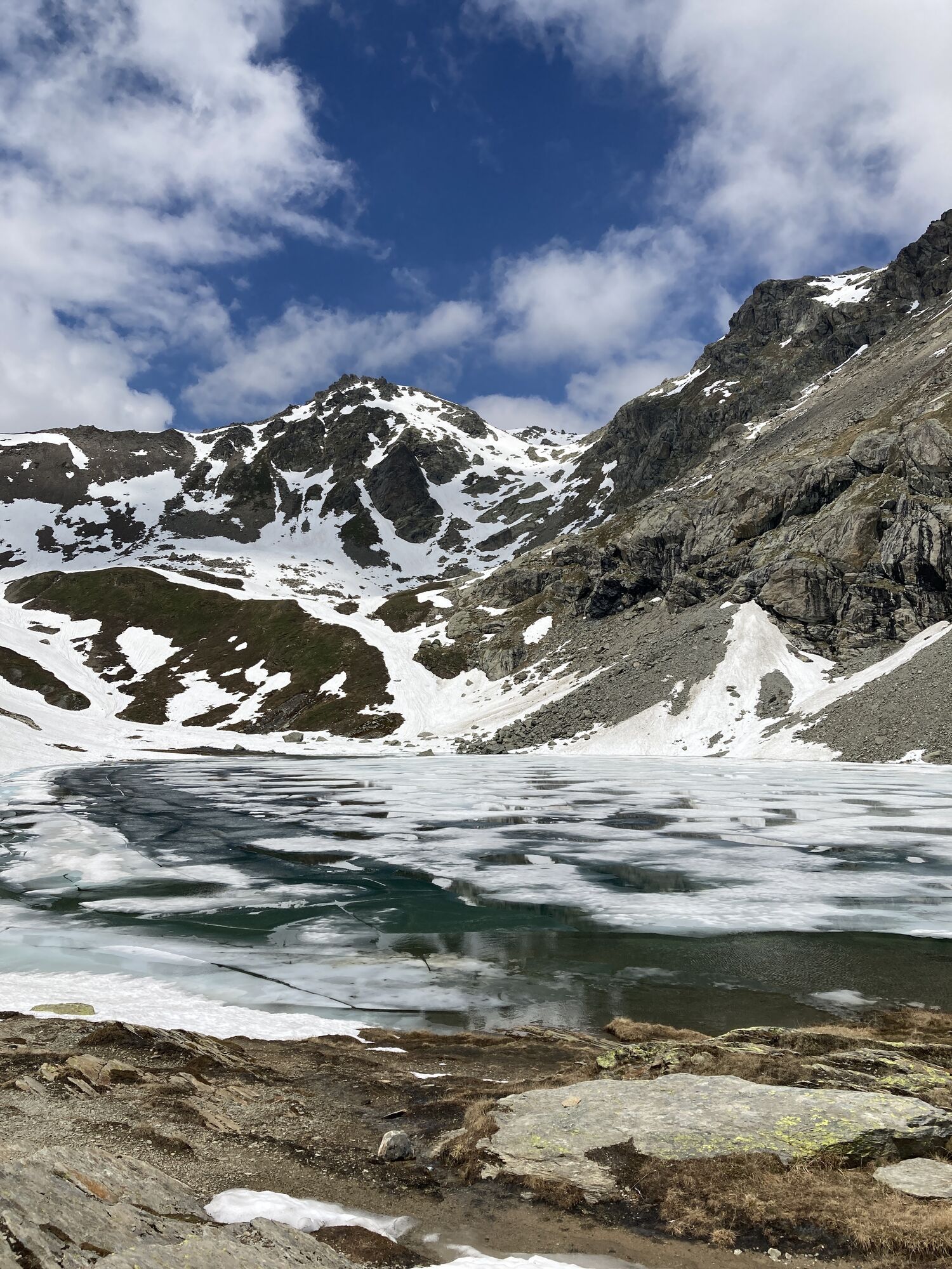
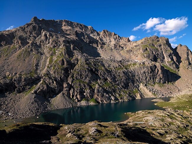
The hiking trail starts between the Maloja Palace Hotel and the Post Office. Passing Pila, the trail winds ever higher up the steep slope. Occasional rests are worthwhile because the view over the Upper Engadine lake district and the magnificent Engadine and Bergell peaks is breathtaking. After numerous loops, you reach the Lägh dal Lunghin. The path follows the shore of the lake before ascending again to the Lunghin Pass. Here there is a three-part watershed: the Inn, which flows through the Engadine and then into the Danube towards the Black Sea; the Julia, which flows with the Rhine into the North Sea; and the Maira, which flows with the Po into the Adriatic Sea. The trail continues over a plateau to the Septimer Pass. This pass was already used by the Romans. You can still partially see carved traces from their ox carts. The path first descends gently before dropping steeply down to the river. Following the Alpstrasse, you reach Casaccia.
Further information
Engadin Tourismus AG
Via Maistra 1
CH-7500 St. Moritz
Phone: +41 81 830 00 01
Email: allegra@engadin.ch
Internet: www.engadin.ch

Maloja - Pila - Lägh dal Lunghin - Septimer Pass - Casaccia
Ano
Capolago parking lot, Maloja
Post parking lot, Maloja
Instead of steeply descending to Casaccia, a hiking trail leads out of the valley towards Bivio (pay attention to the departure times of the Postbus).
Oblíbené prohlídky v okolí
-
4.8
Maloja - Motta Salacina - Lägh da Cavloc - Maloja
středníTuristika 10.3 km -
4.8
Corvatsch Murtèl - Fuorcla Surlej
středníTuristika 4.52 km -
Mittelstation Murtèl – Fuorcla Surlej – Val Roseg – Pontresina
středníTuristika 23.5 km -
5.0
Maloja-Piz Lunghin-Pass Lunghin-See Lunghin- Blaunca- Maloja
středníTuristika 15.5 km -
3.7
721 Senda Ils Lejins Sils/Furtschellas
středníTuristika 6.02 km -
3.6
Maloja - Cavloccio - Orden d'Ent - Orden
středníTuristika 7.78 km -
ALP FLIX
středníTuristika 13.0 km -
4.5
87 Via Engiadina: Stage 1 Maloja-Silvaplana
světloTuristika 12.4 km -
5.0
Maloja- Lägh da Cavloc
středníTuristika 3.22 km -
5.0
Sils - Lej da la Tscheppa - Sils
středníTuristika 11.4 km

Pěší turistika a stopování


Nenechte si ujít nabídky a inspiraci pro vaši příští dovolenou
Vaše e-mailová adresa byl přidán do poštovního seznamu.