






The history of Danis/Tavanasa

Úroveň obtížnosti: T1
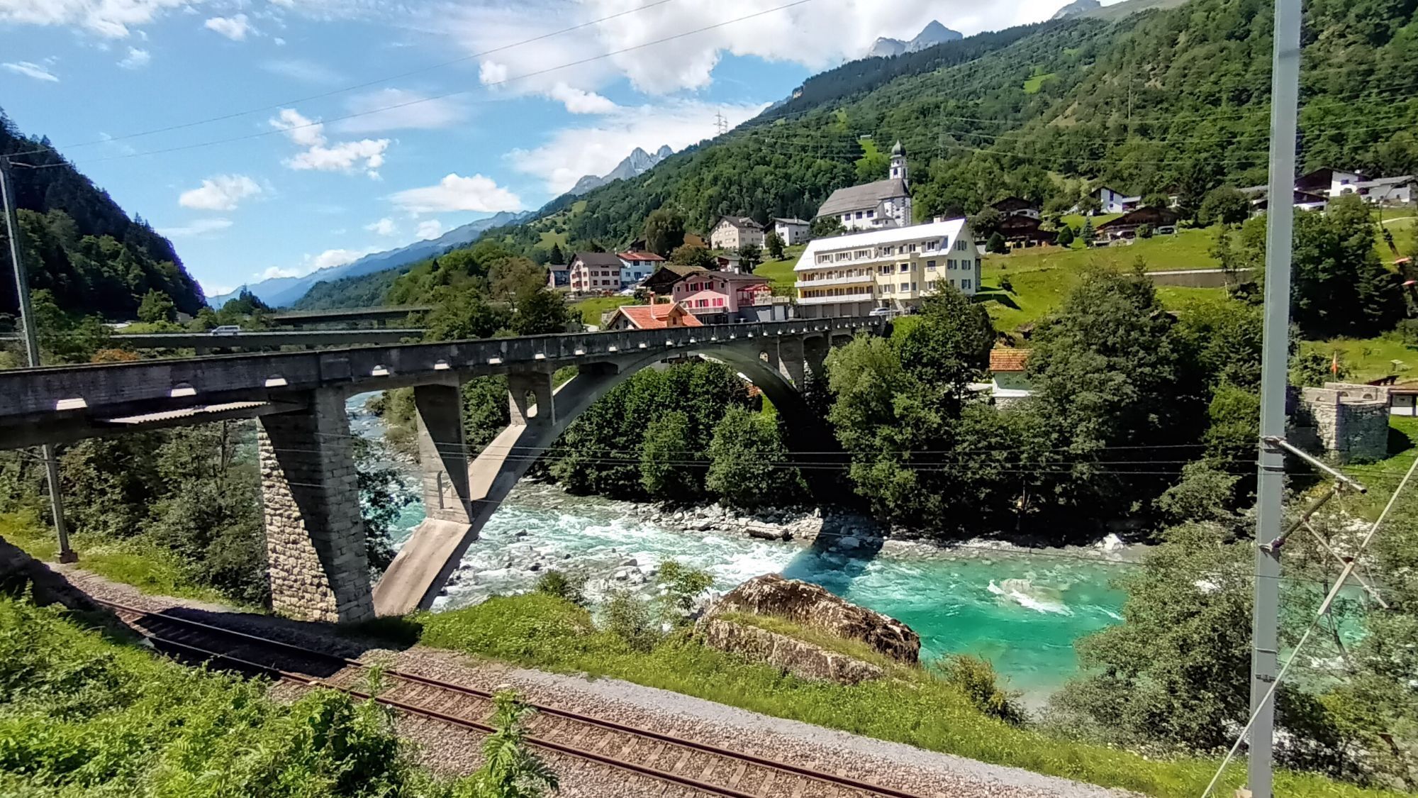
Experience the history of Danis / Tavanasa on this trail.
You will gain insight into the craftsmanship of past days and rediscover partly extinct artisanal trades. Travel back in time and revive the mountain...
Experience the history of Danis / Tavanasa on this trail.
You will gain insight into the craftsmanship of past days and rediscover partly extinct artisanal trades. Travel back in time and revive the mountain village life of those days with your smartphone.
The start is located at Volg in Danis. Scan the QR code or click here and dive into the past.



Volg, Danis - Via Plaun - Via Grotta - Runtget - Runcau - Mutteins - Stradun - Train station, Tavanasa - Surpunt - Memorial bridge, Tavanasa - Ual da Mulin - Via Dadens - Via Vitg - Via Dadens - Volg, Danis
Ano
If the weather conditions are uncertain, the route should not be started. Weather changes in the mountains are frequent. If a rain front or similar approaches during the hike, you should turn back in time.
Along the main road to Tavanasa and towards Brigels to Danis
Postbus stop at Volg Danis (start and end of the route)
Parking options at Volg in Danis or at the train station in Tavanasa.
T1
Good shoes with a good tread, weather-appropriate clothing (rain jacket), first aid kit, drink, food
The explanations for the trail are available via QR code exclusively in German and Romansh.
Oblíbené prohlídky v okolí
-
5.0
Kalktrittli - Nüschentäli - Muttsee - Obersee - Muttenchopf - Mörtel - Limmerensee - Kalktrittli (durch Stollen)
středníTuristika 14.8 km -
5.0
High valley Val Frisal
heavyTuristika 12.4 km -
3.8
Circular hike: Falera-Curnius-Alp Dadens-Falera
středníTuristika 11.4 km -
5.0
2-day hike Greina high plateau
heavyTuristika 15.5 km -
5.0
Hiking route Suspension Bridge Val da Tersnaus
středníTuristika 3.24 km -
4.7
Dutjer Alp - magnificent view
středníTuristika 8.23 km -
Panoramic route between Piz Mundaun and Péz Sezner
středníTuristika 6.75 km -
4.5
Trail run: Pigniu - Panixersee - Pigniu
středníTrailrunning 8.32 km -
5.0
Kistenpasshütte-Breil/Brigels
středníTuristika 13.7 km -
4.3
Around the Grep da Plaids
středníTuristika 8.05 km
Pěší turistika a stopování


Nenechte si ujít nabídky a inspiraci pro vaši příští dovolenou
Vaše e-mailová adresa byl přidán do poštovního seznamu.





