







Trail running on the Schanfigg Höhenweg

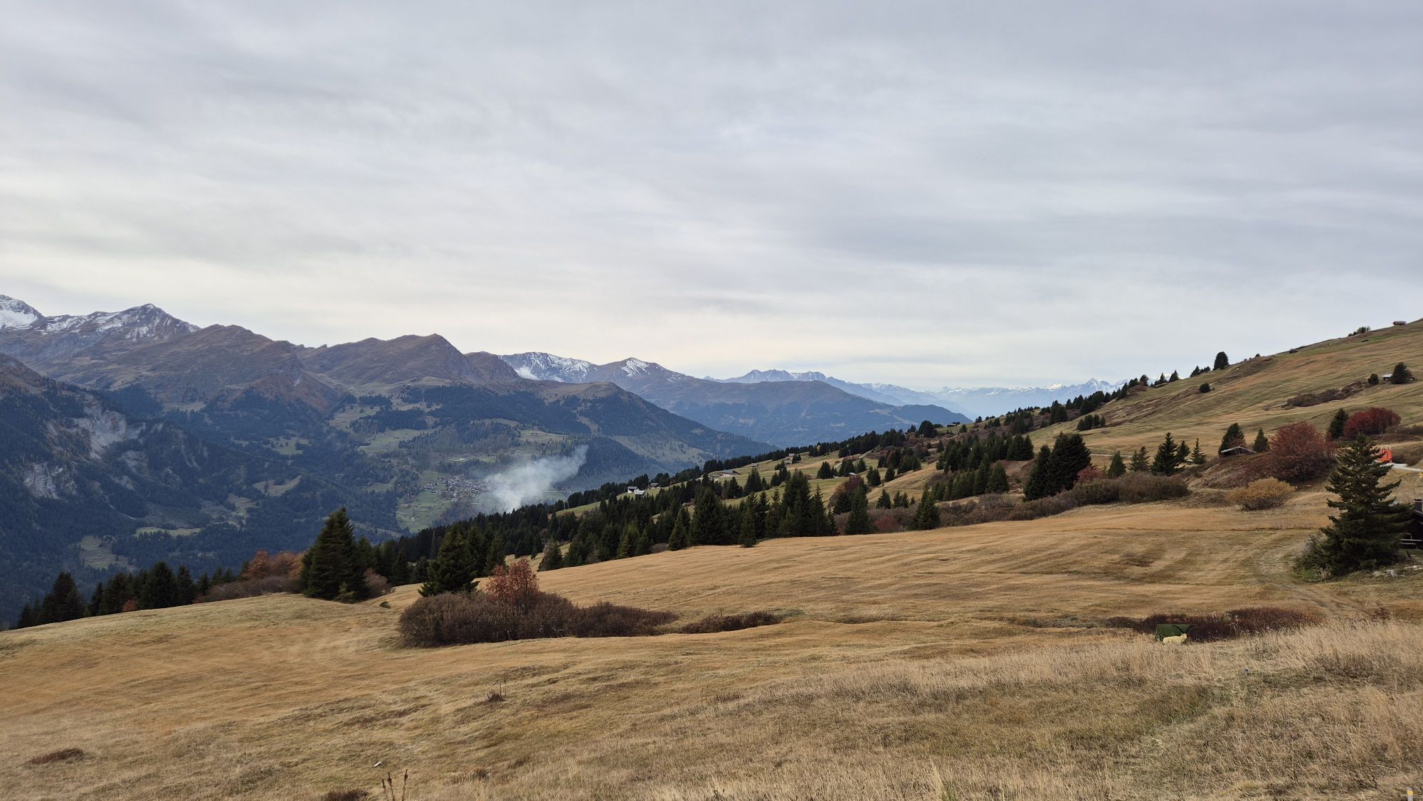
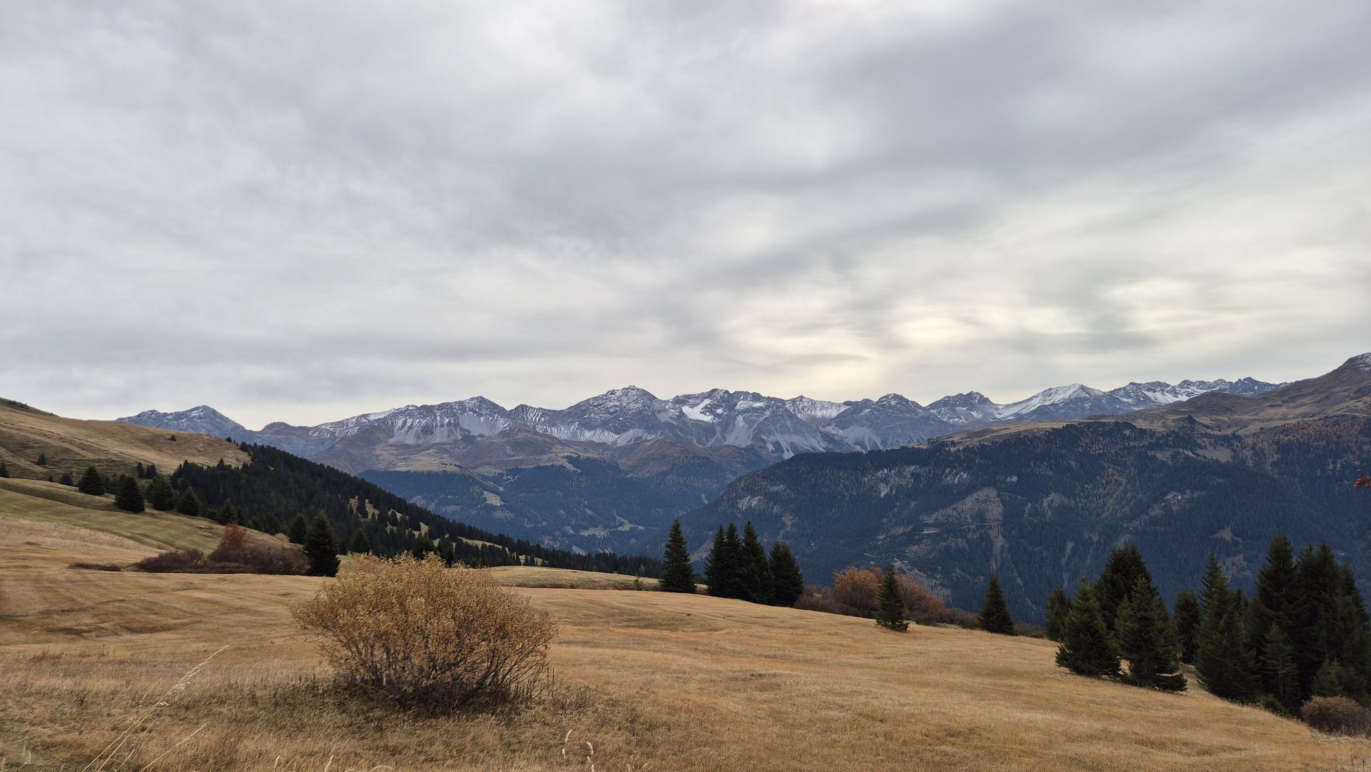
The start is at the mountain restaurant Triemel. From there to the Hochwanghütte and over Zalüenja to the Peister Alp. Past the alpine cows a bit towards Pirigen, but quite soon turning left up a barely...
The start is at the mountain restaurant Triemel. From there to the Hochwanghütte and over Zalüenja to the Peister Alp. Past the alpine cows a bit towards Pirigen, but quite soon turning left up a barely visible hiking trail to the foot of the Mattjischhorn. Those who want can make a small excursion to the 2,460 m above sea level viewpoint mountain. From just below the summit, the hiking trail follows the ridge along to the Arflinafurgga and the Fanin Pass. Then the alpine path leads beautifully and very scenically back to Zalüenja. From there back the same way over the Hochwanghütte to Triemel.

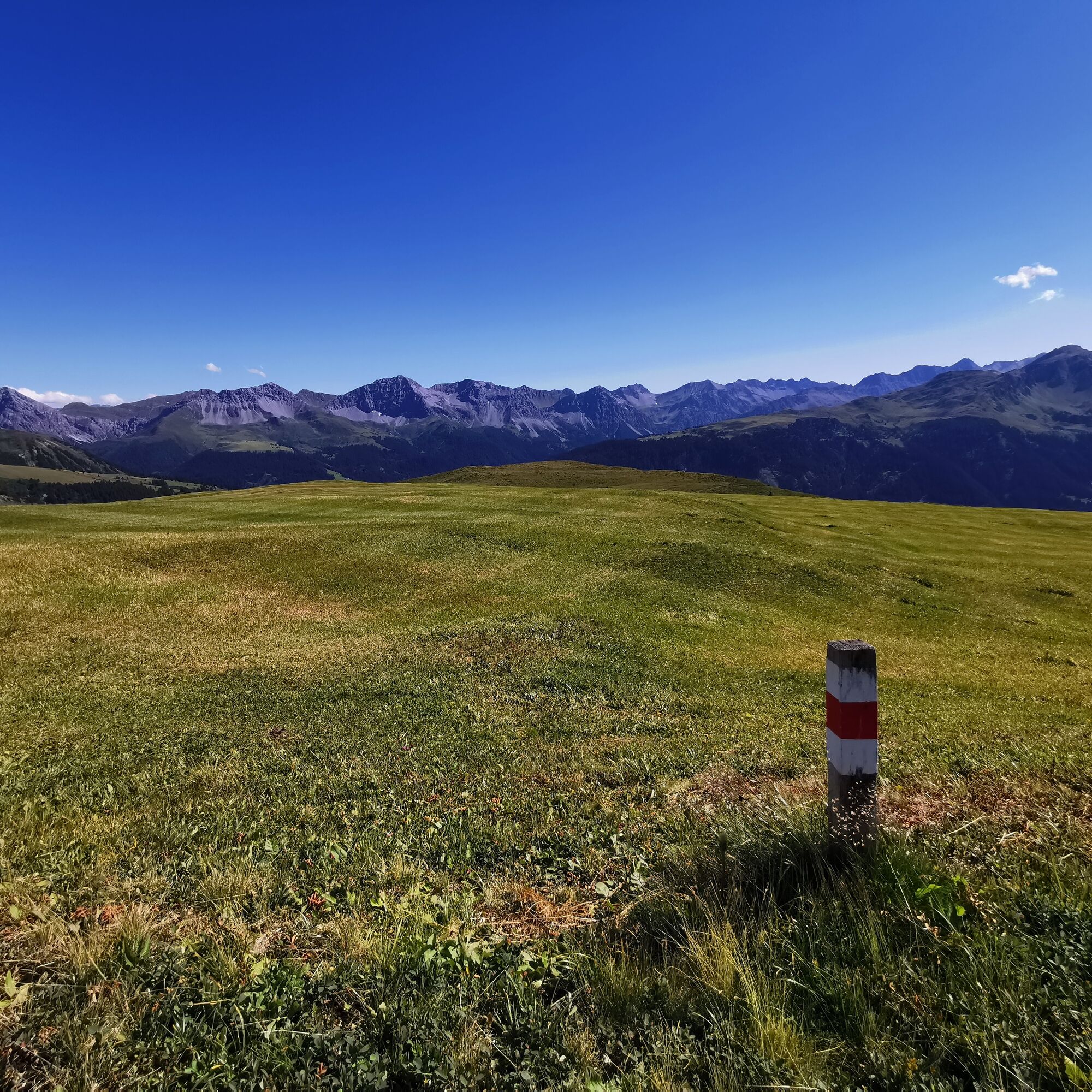
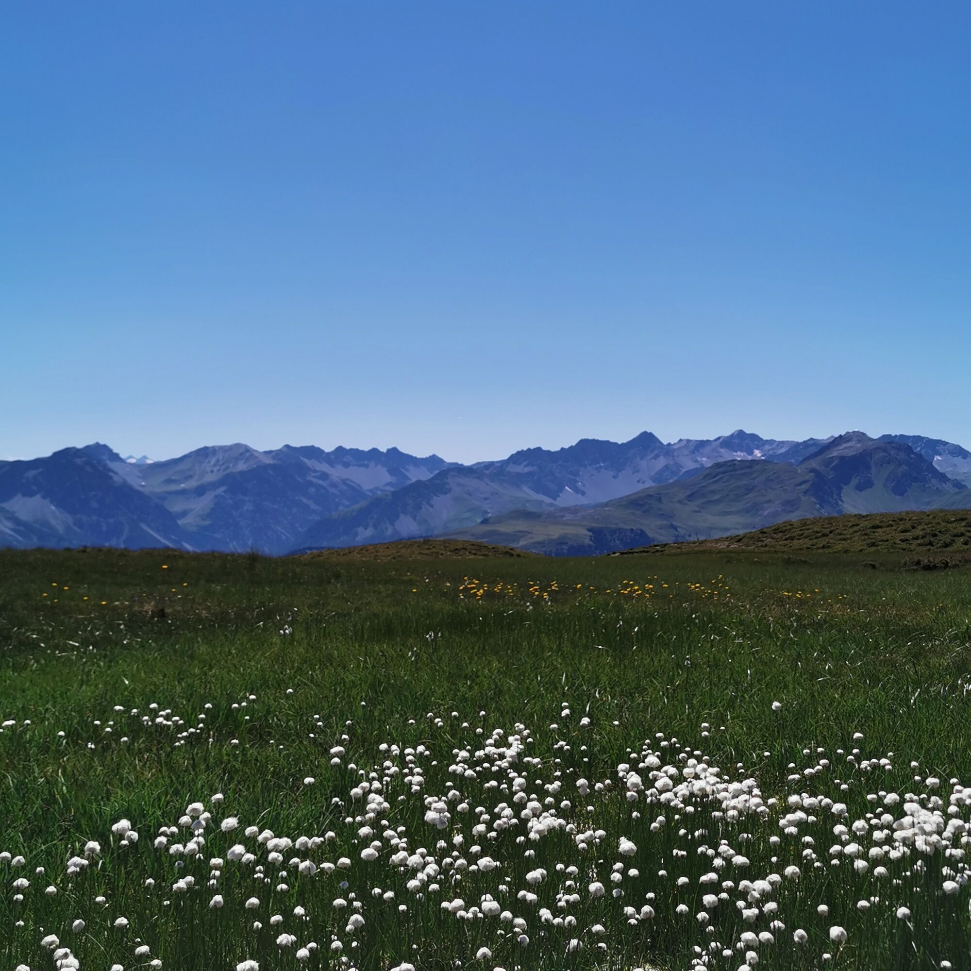
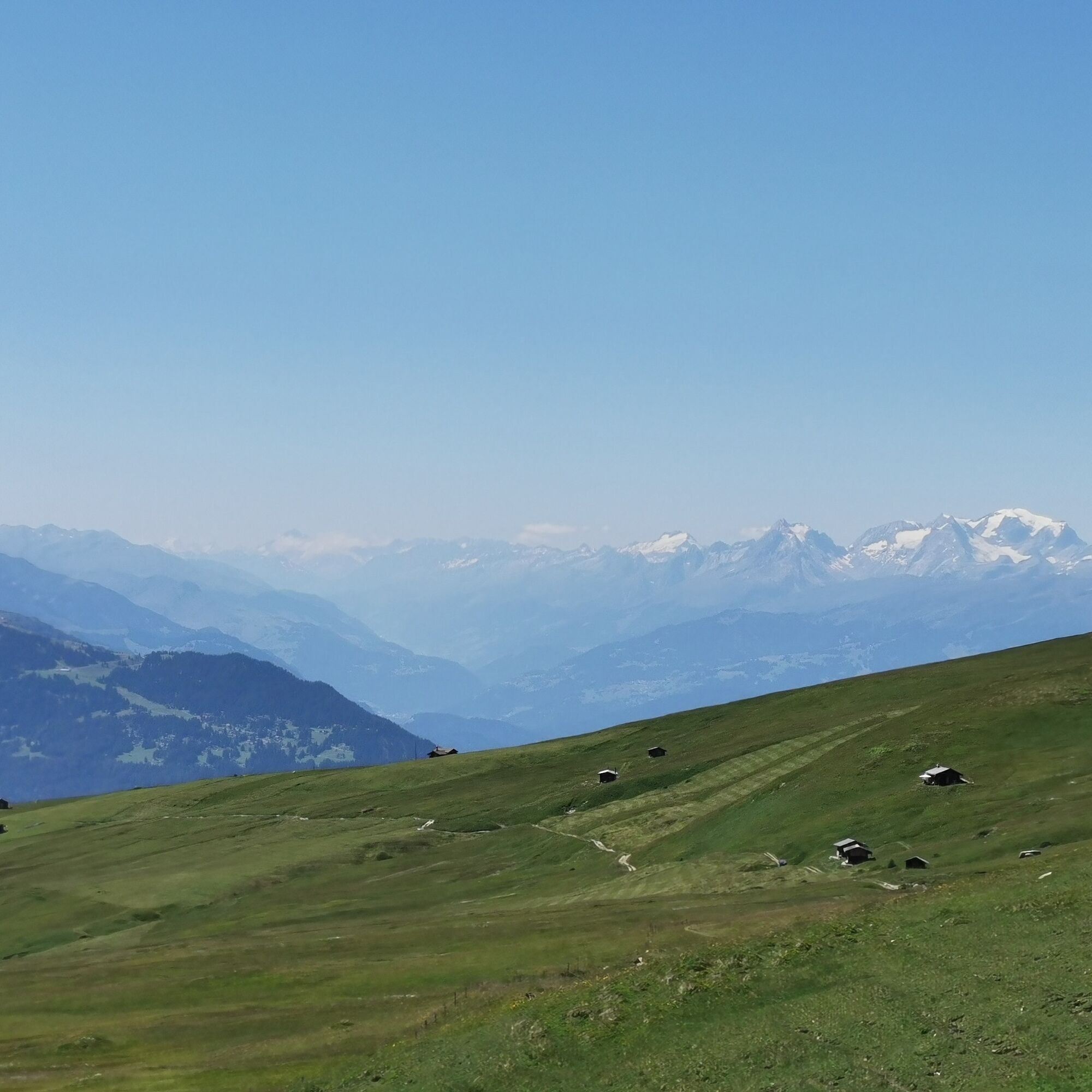

Triemel - Hochwanghütte - Zalüenja - Peister Alp - Foot of the Mattjischhorn - Arflinafurgga - Fanin Pass - Zalüenja - Hochwanghütte - Triemel
By car to Pagig or Fatschél and from there (with a CHF 10.- day permit) by road up to Triemel. The day permit can be purchased on site via app or SMS. Information is available on the website of the municipality of Arosa.
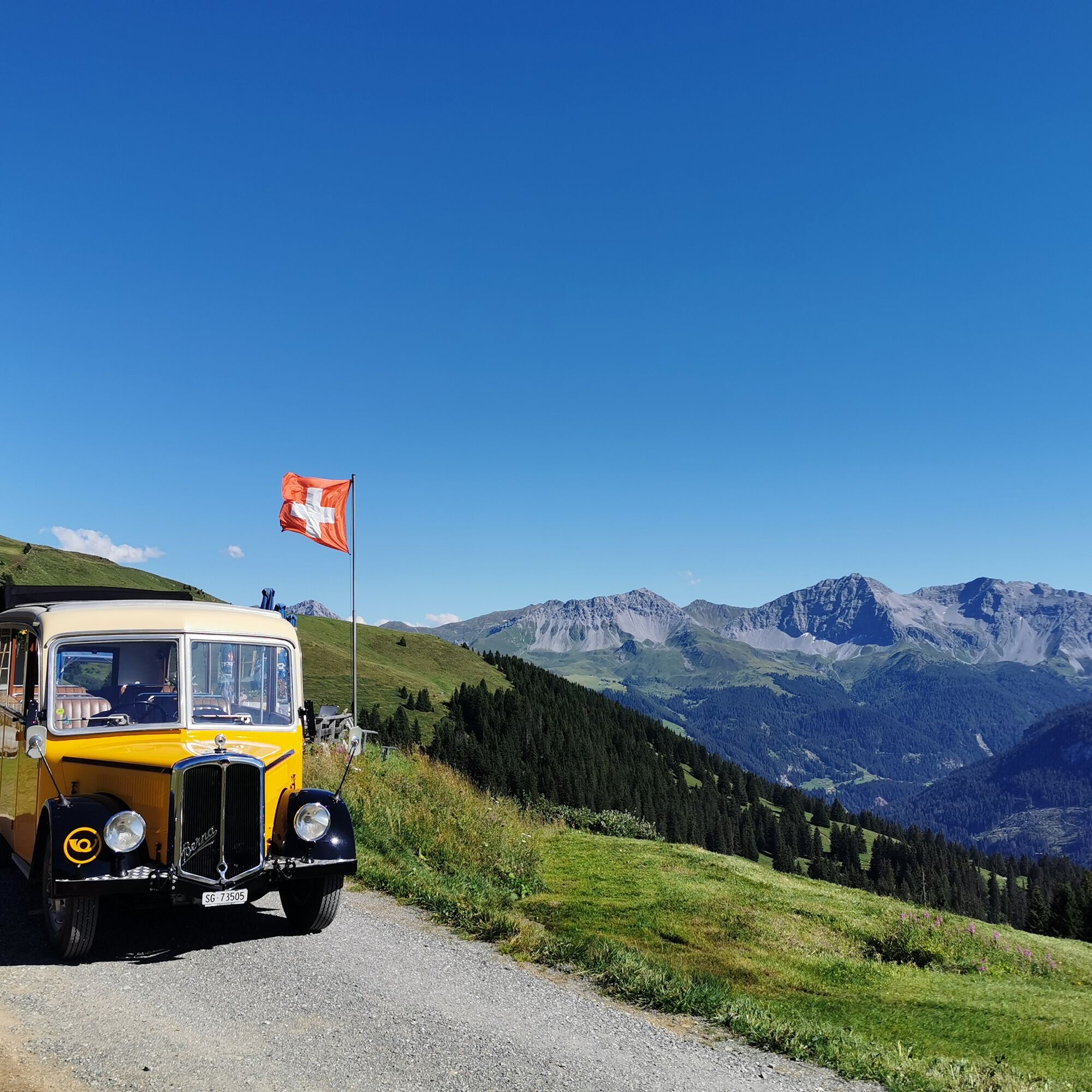
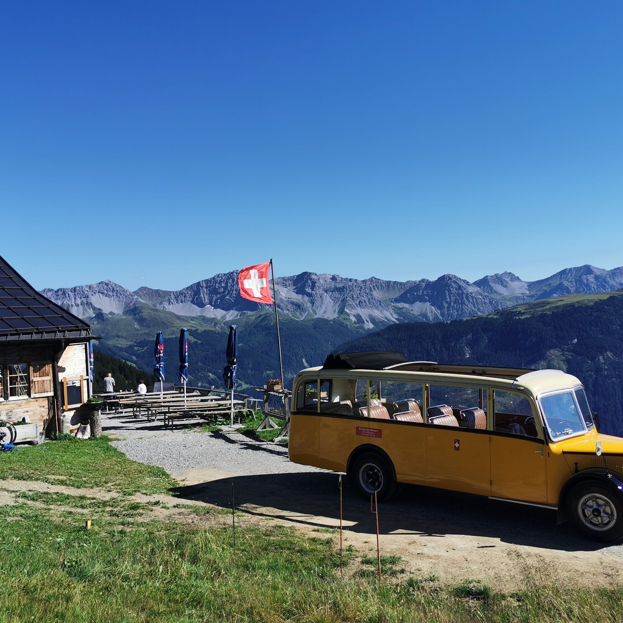
By train from Chur in 30 minutes to the St. Peter-Molinis station or by Postbus from Chur in 30 minutes to the St. Peter-Pagig junction. From both stops, the Nostalgie-Postauto goes up to Triemel or even to the Hochwanghütte. Please check the timetable carefully.
There are free parking spaces in Triemel.
With the Nostalgie-Postauto from the St. Peter - Molinis train station up to Triemel.

Oblíbené prohlídky v okolí
-
3.9
Arosa-Medergen-Tritt-Latschüelfurgga-Strelapass-Davos
středníTuristika 22.5 km -
Arosa-Schwellisee-Älplisee-Parpaner Rothorn
Turistika 12.3 km -
5.0
Chrüz
světloLyžařská trasa 4.39 km -
4.7
Arosa-Hörnli-Parpaner Rothorn-Lenzerheide
Turistika 11.9 km -
3.5
Arosa-Maienfelder Furgga-Stafelalp-Davos
středníTuristika 15.9 km -
5.0
Eichhörnliweg Arosa
světloTematická stezka 1.72 km -
5.0
Arosa-Hörnli-Urdenfürrgli-Alp Scharmoin-Lenzerheide
středníTuristika 15.3 km -
5.0
767 Alteinsee Schiesshorn
středníTuristika 11.9 km -
5.0
Arosa-Erzhornsattel-Arosa
Turistika 14.9 km -
3.0
Through the wild Schraubachtobel from Schiers to Schuders
světloTuristika 9.19 km
Pěší turistika a stopování


Nenechte si ujít nabídky a inspiraci pro vaši příští dovolenou
Vaše e-mailová adresa byl přidán do poštovního seznamu.





