






Valser Pass Route
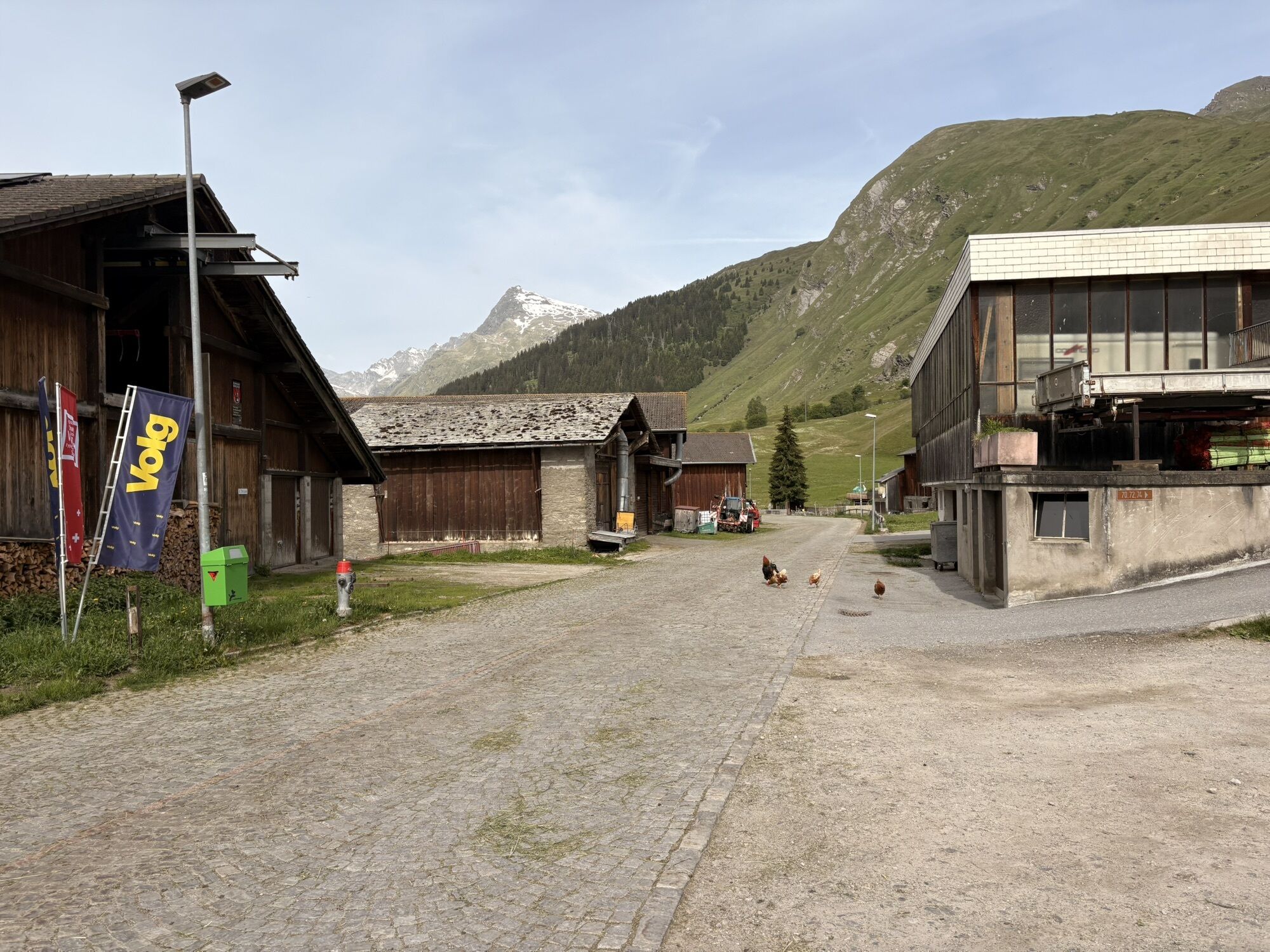
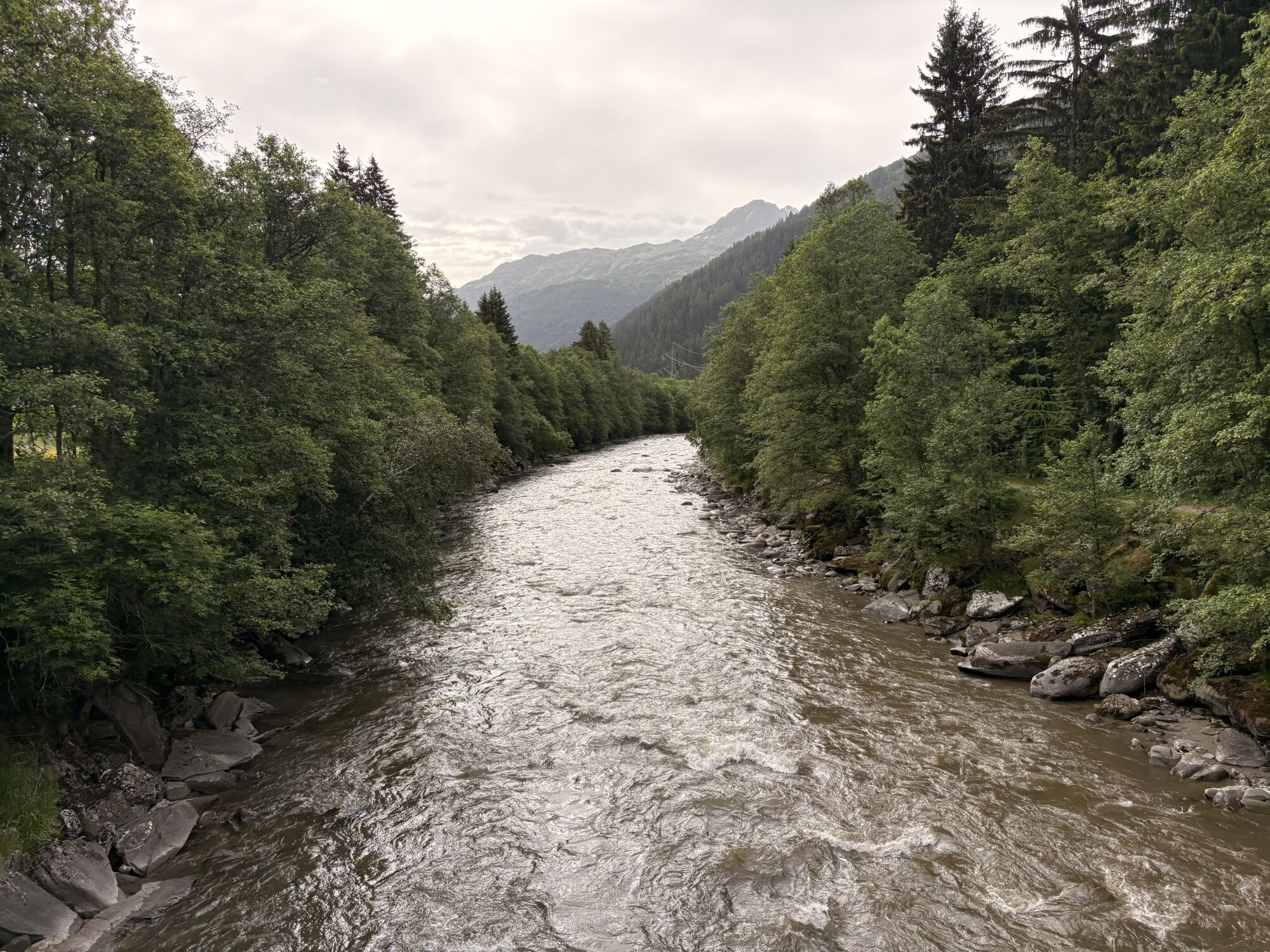
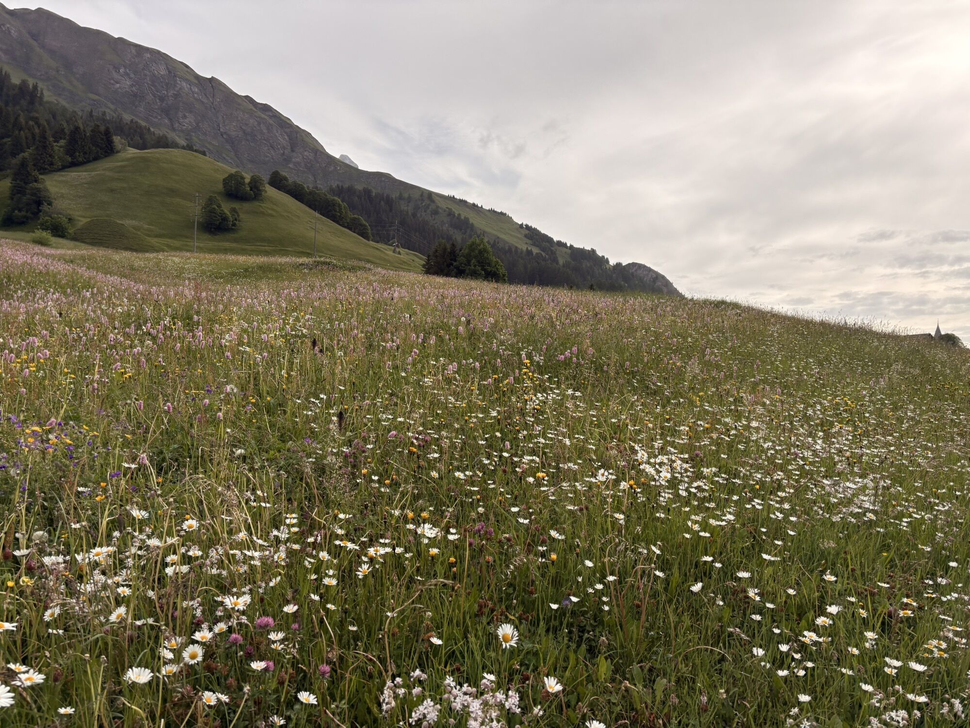
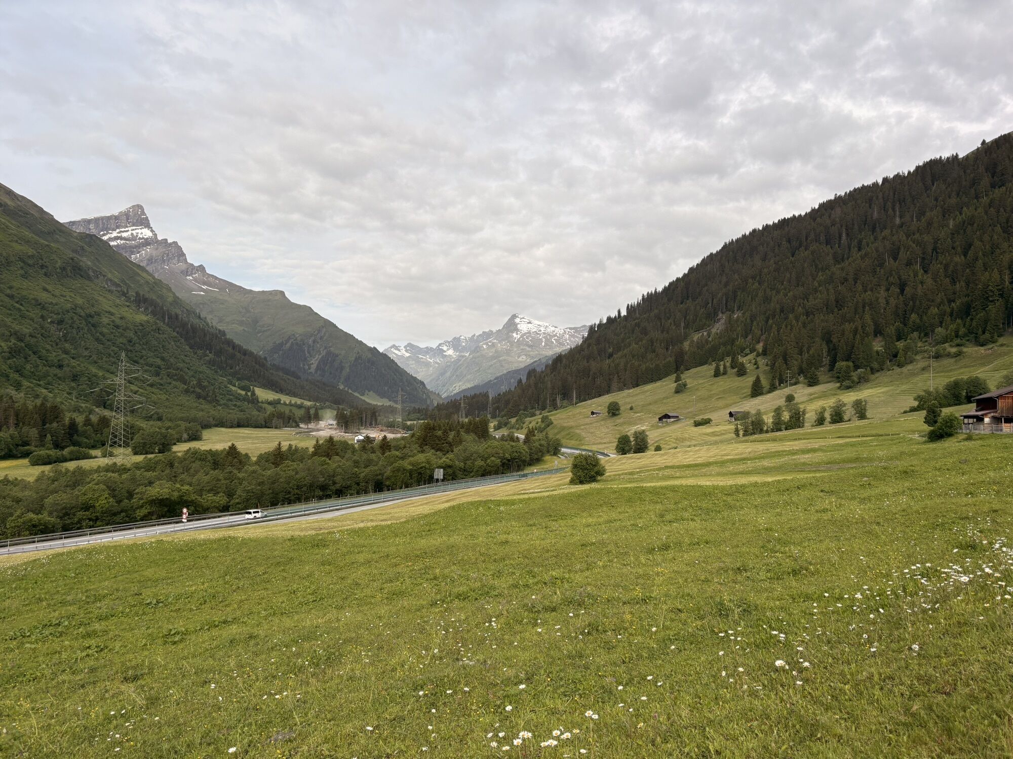



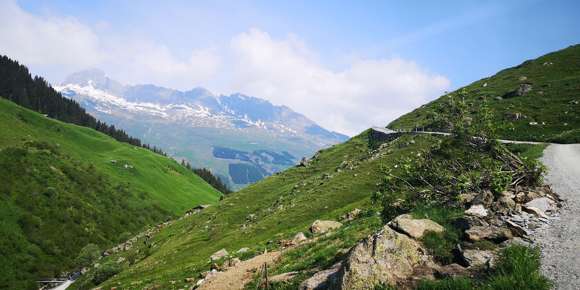
1st stage: From Vals over the Valserberg to Nufenen.
The crossing of the historic Valserberg from Vals to Nufenen offers unique insights into the spectacular mountain world of the rear Peiltal valley.
2nd...
1st stage: From Vals over the Valserberg to Nufenen.
The crossing of the historic Valserberg from Vals to Nufenen offers unique insights into the spectacular mountain world of the rear Peiltal valley.
2nd stage: Nufenen over the Safierberg to Turrahus.
From Nufenen, the second stage first leads slightly rolling towards Splügen before the ascent to the Safierberg begins. The pack pass located at 2,486 m above sea level connects the Safiental with the Rheinwald area. After reaching the pass height, the path continues over varied trails to Turrahus in the Safiental, where the stage ends and overnight accommodation and dining are possible.
3rd stage: Turrahus over the Tomülpass to Vals.
The Tomülpass connects the Safiental with the Valsertal. Enjoy a varied cultural and natural landscape.

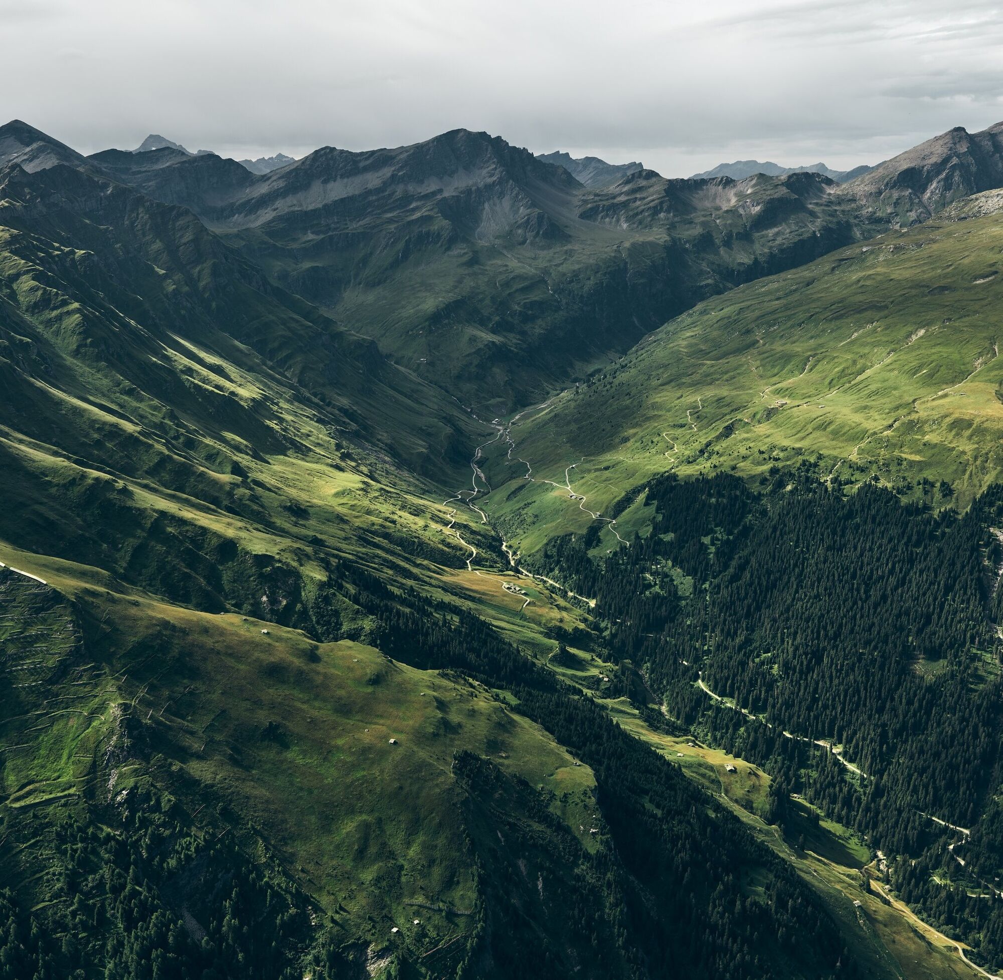
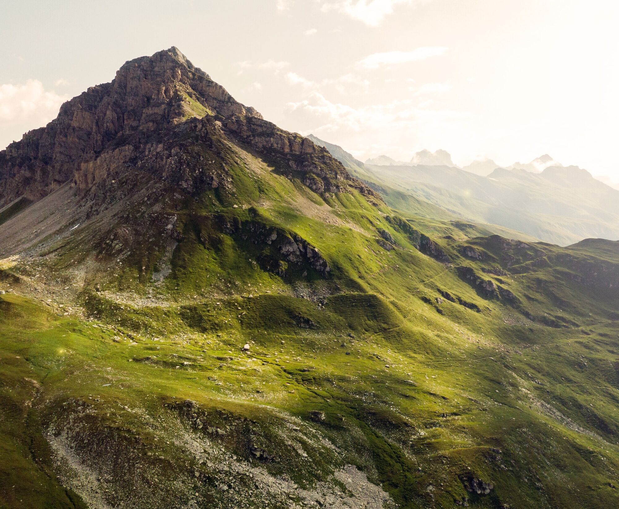
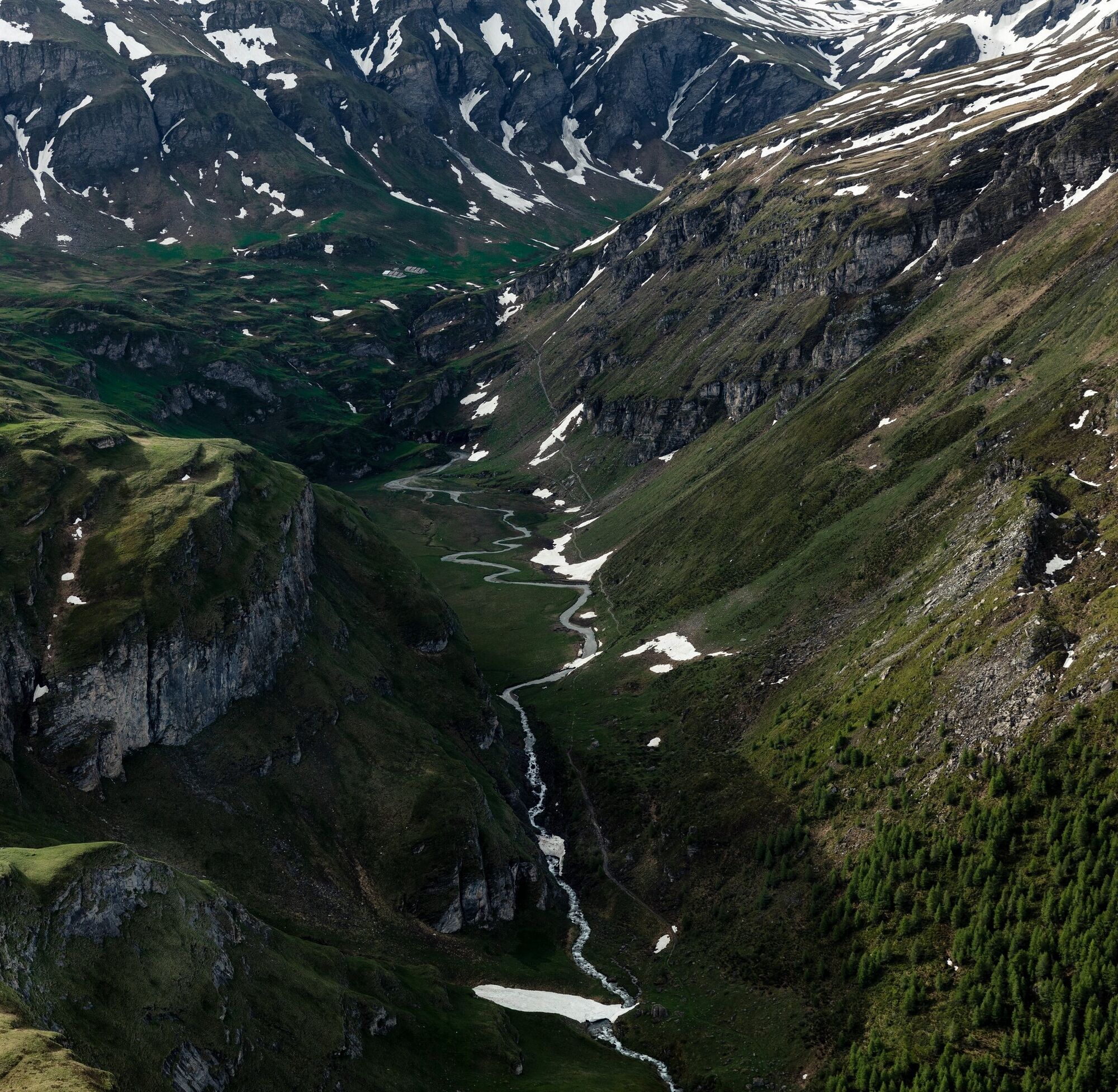

Vals village square 1252 m - Abersch Hus 1584 m - Uf der Matta 1735 m - Alp Wallatsch 1873 m - Zum Hirt 2220 m - Valserberg 2503 m - Nufenen 1569 m - Safierberg 2486 m - Turrahus 1692 m - Tomülpass 2412 m - Vals 1252 m
From the village square, the path leads left past the church up the steep village lane to Hotel Valserhof. After crossing the street, the path leads right past the double barn, then along a little stream upwards and ends in a farm road. We follow this to the right to the signposts.
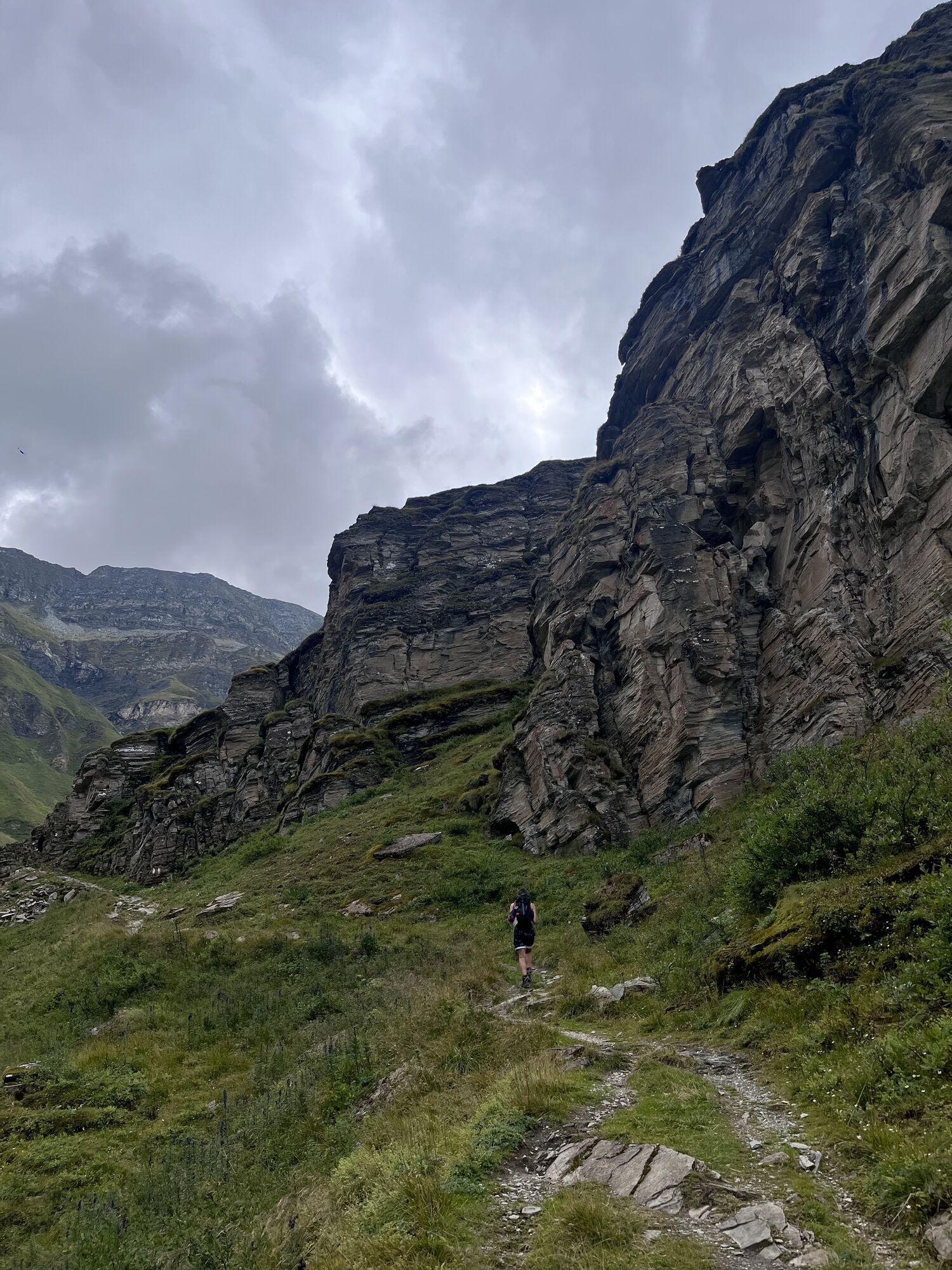
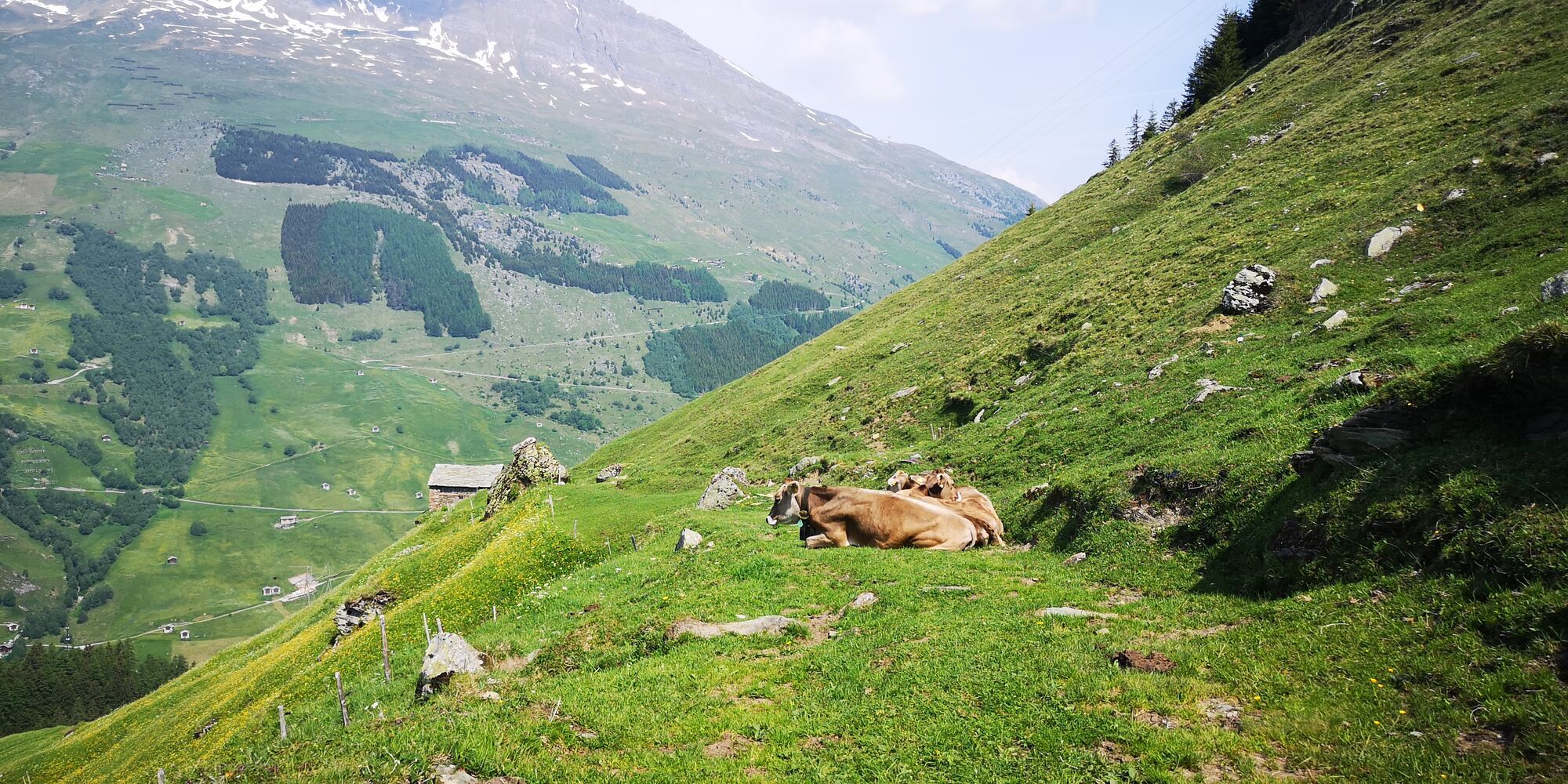
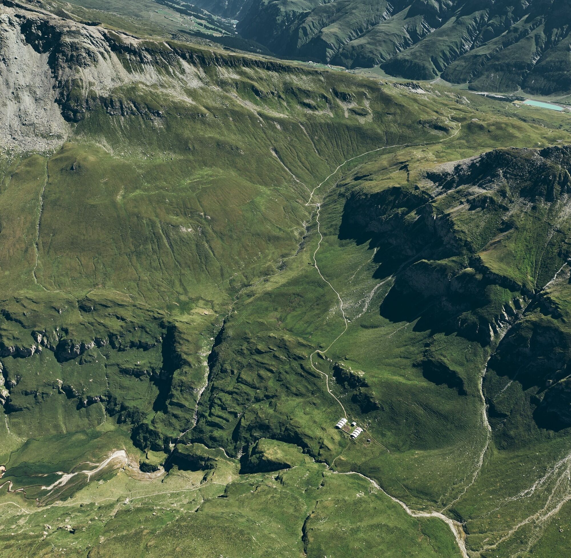
Here, a steep path leads over green meadows up to the alpine dairy "Abersch Hus". Slightly less steep are the paths above the alpine dairies Kartütscha (1668 m) and Fulplatta up to the alpine dairy Uf der Matta (1734 m), which lies on a beautiful meadow plateau. Almost without ascent, you reach the alpine dairy Tschifera (1764 m). From here to Wallatschalp, the path is marked but not always easily visible. The path continues inward the valley. Now you cross the Wallatschbach and reach the Alp Wallatsch after a short ascent. Here, you enjoy a beautiful view over the Peiltal valley. The path continues along the hillside over alpine meadows to Steinhirt. After the Furtboda, the path to the pass is rocky and leads over scree slopes to the pass height (2504 m). Old military bunkers are visible along the way. At the pass height, the view opens to Rheinwald towards Hinterrhein and the San Bernardino pass road. The descent to Nufenen proceeds on a steep path.
From Nufenen, the second stage first leads slightly rolling towards Splügen before the ascent to the Safierberg begins. The pack pass located at 2,486 m above sea level connects the Safiental with the Rheinwald area. After reaching the pass height, the path continues over varied trails to Turrahus in the Safiental, where the stage ends and overnight accommodation and dining are possible.
From Turrahus, continue on a good path over alpine pastures and meadows via Alp Falätscha to the Tomülpass, which forms the border of the municipality of Vals. Gently downhill, the path leads towards Alp Tomül and then to Riedboda (2030 m). Crystal-clear water from the Tomülbach, wool grasses, and lush meadows make the charm of Riedboda. From this valley floor, you always come to the viewpoint Pradätsch (1953 m), where you can already see the village of Vals from above. You continue on the alpine path, through the Riefawald under the Hora. At the fork, you turn left onto a steep, rocky path that leads almost straight down the slope. In the Mura near Hotel Valserhof, the path goes down the lane to the village square of Vals.
Running backpack, drink, bars, mobile phone, wind and rain jacket
Via Chur over Flims to Ilanz. From Ilanz it is another 20 km to Vals.
By SBB to Chur, further with the RhB towards Disentis to Ilanz, the last 20 kilometers from Ilanz by post bus to Vals.
Public and paid parking in Vals
Bidem: At the village square behind Hotel Alpina
Cable car: At the valley station of the gondola lift
The first stage can be shortened by a ride with the Valser hiking bus into the Peiltal.
On the 3rd and final stage, the Valser hiking bus runs from Riefawald to the village to ease the steep descent.
Timetables and registration:
Získejte přehled
Vždy živě na místě s více než 9 500 webkamerami. bergfex Jako uživatel Pro si nyní můžete zobrazit odpovídající webové kamery pro mnoho prohlídek v aplikaci prohlídky z. Můžete si tak přímo prohlédnout aktuální podmínky.
Oblíbené prohlídky v okolí
-
5.0
Panorama route
světloTuristika 5.39 km -
3.3
3-lake hike
středníTuristika 12.8 km -
5.0
Winter hike Gadastatt - Frunt - Zerfreila (Panorama trail)
světloZimní turistika 5.36 km -
4.5
Fanellhorn 3124 m
heavyVysokohorská turistika 6.86 km -
5.0
Southeast Switzerland Hiking Day Vals 2017
světloTuristika 11.8 km -
5.0
Montespluga - Splügen Pass - Bergseeli - Lago Azzuro - Bocchetta della Zacopel - Montespluga
heavyTuristika 7.15 km -
5.0
Circular hike Vals - Gadastatt - Stafelti - Hängelahütte - Vals
středníTuristika 11.1 km -
Vals Autumn Run
středníTrailrunning 12.2 km -
5.0
Drie merenwandeling vals
středníTuristika 12.1 km -
Montespluga - Lago di Montespluga - Cardinello Schlucht - Isola
středníTuristika 9.38 km

Pěší turistika a stopování


Nenechte si ujít nabídky a inspiraci pro vaši příští dovolenou
Vaše e-mailová adresa byl přidán do poštovního seznamu.





