



Arosa Trailrun AT33 the New

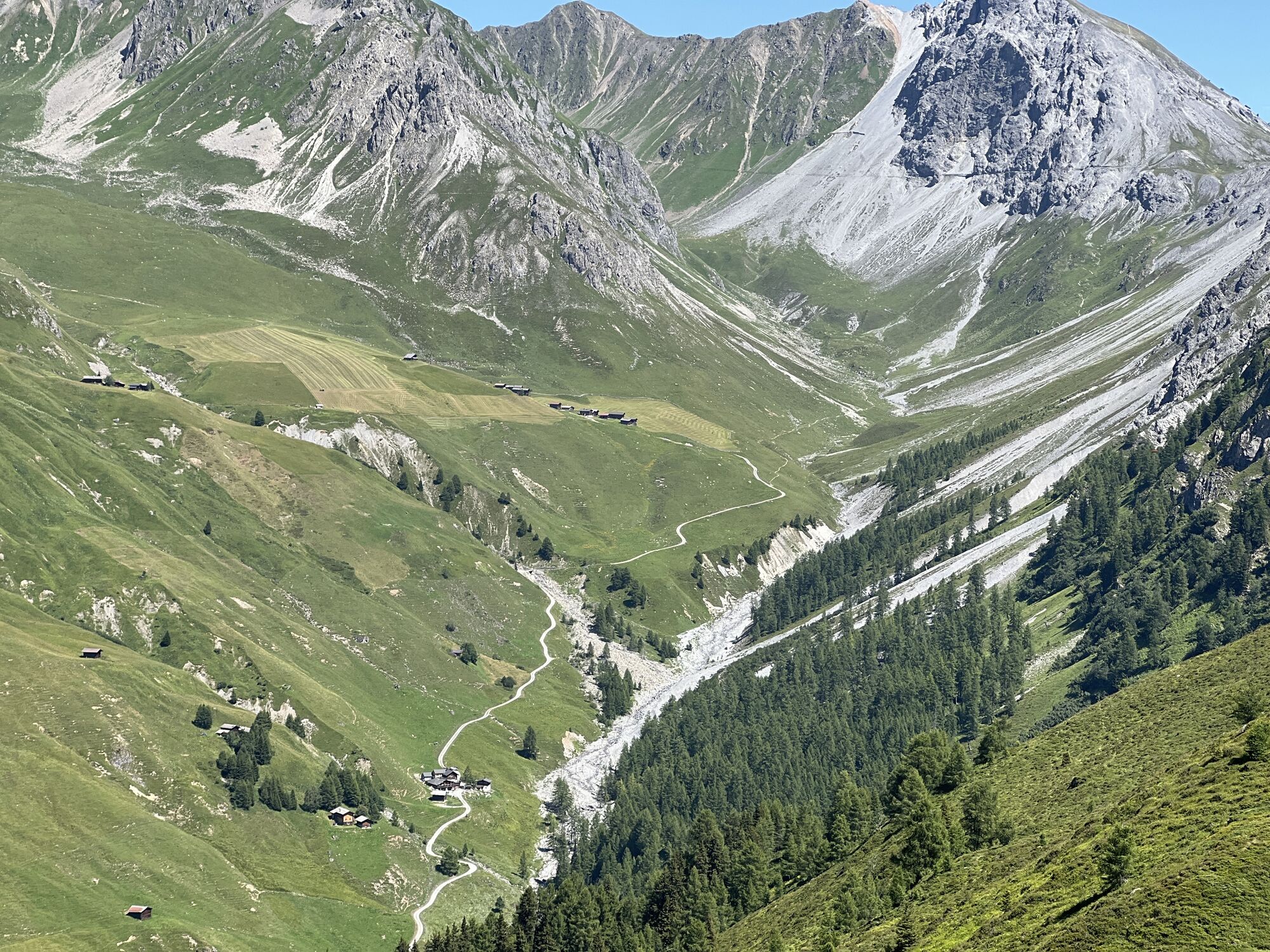
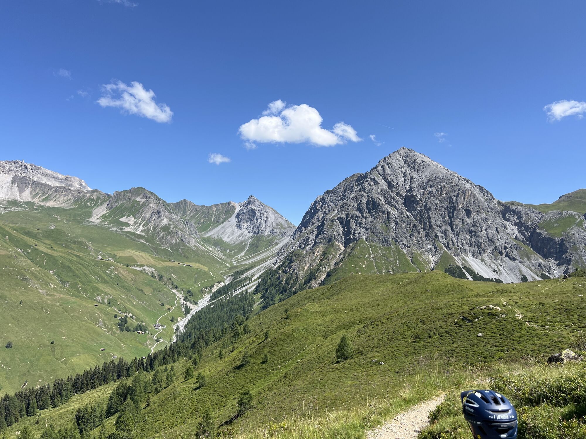
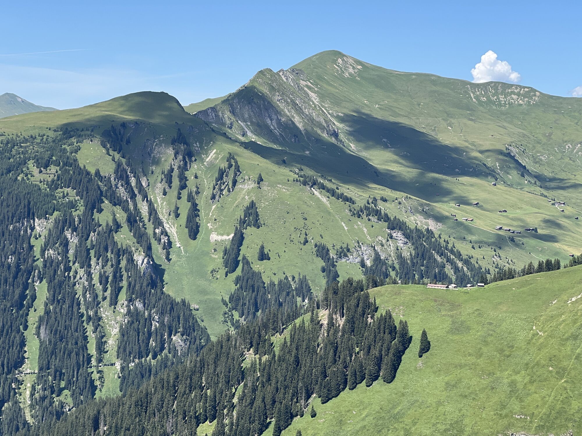
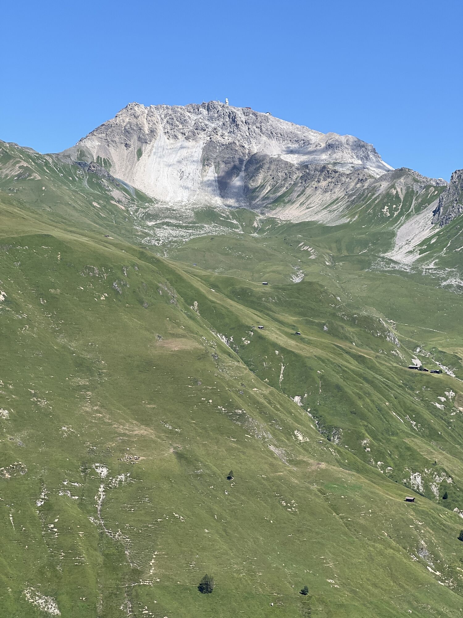
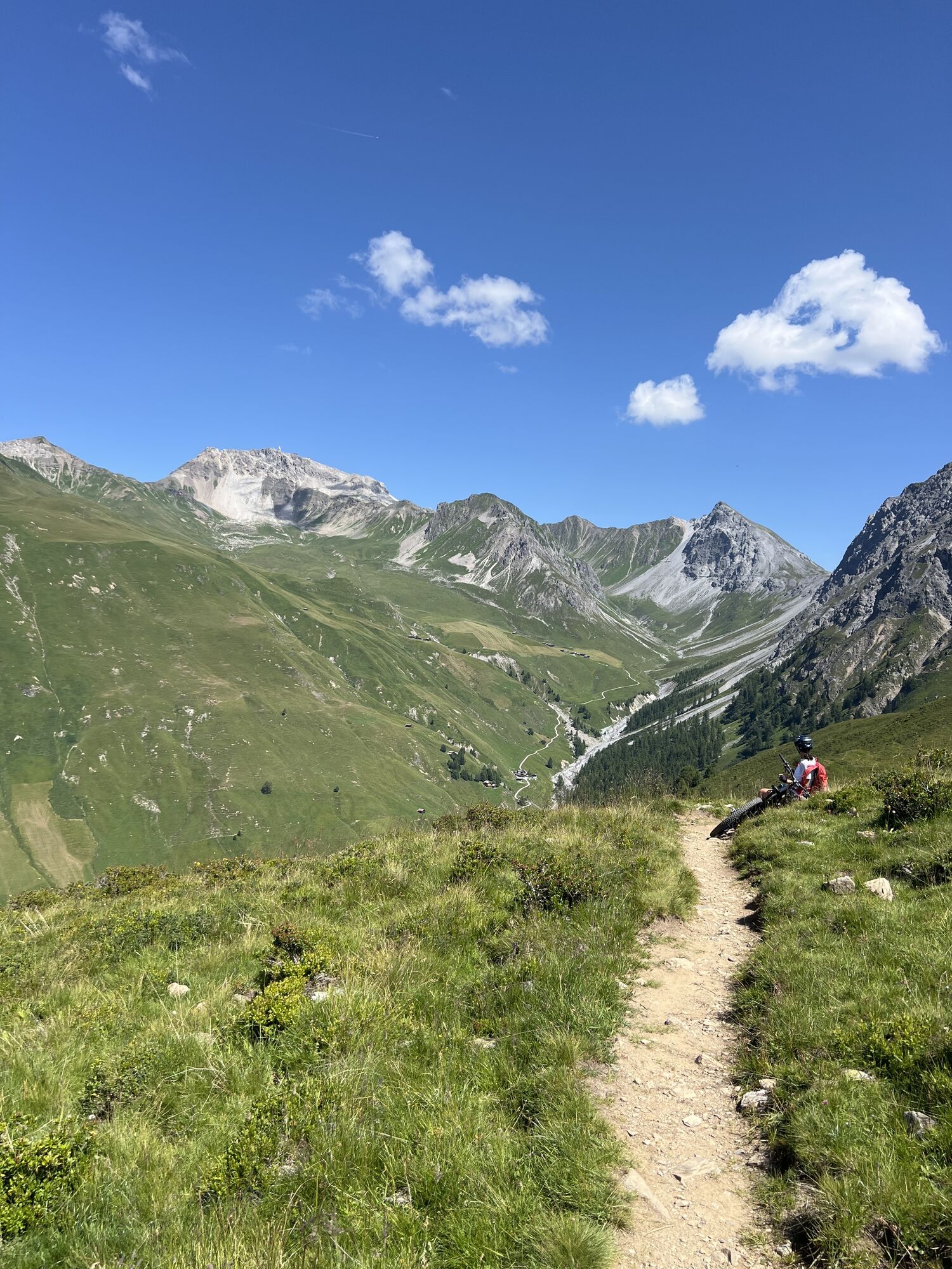
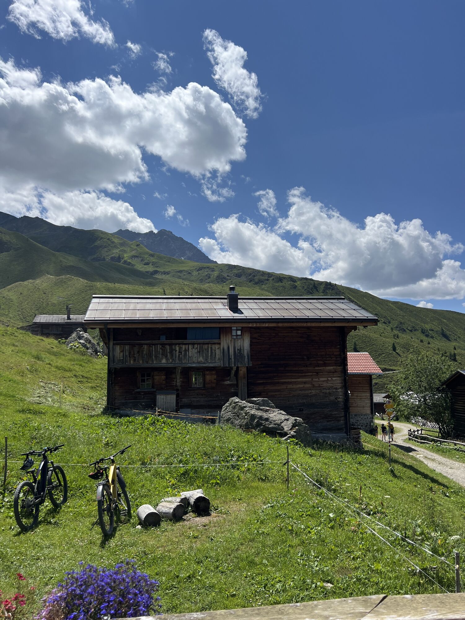


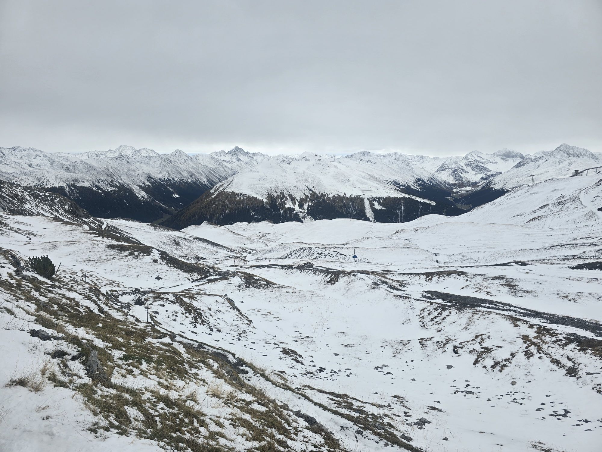
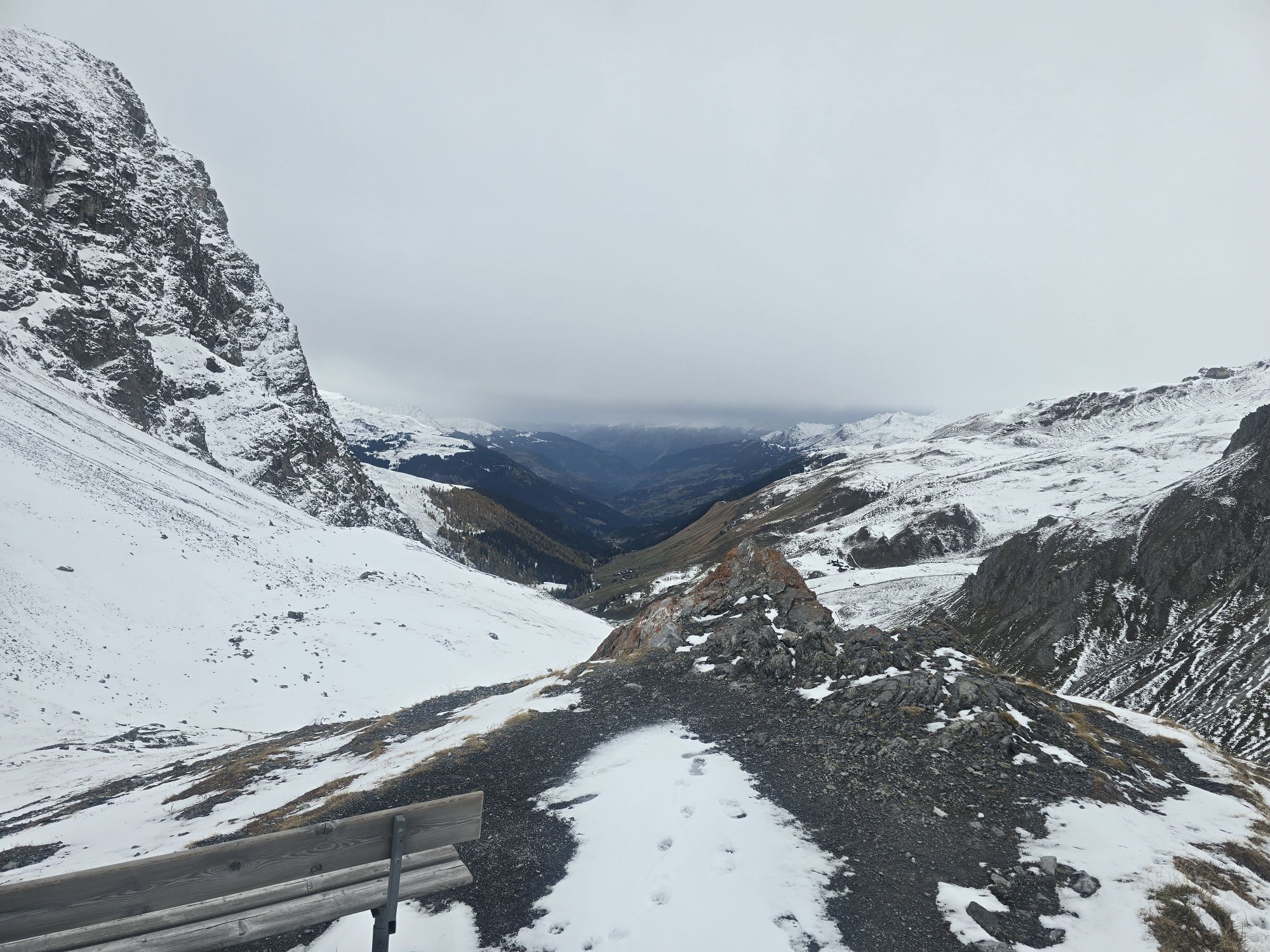
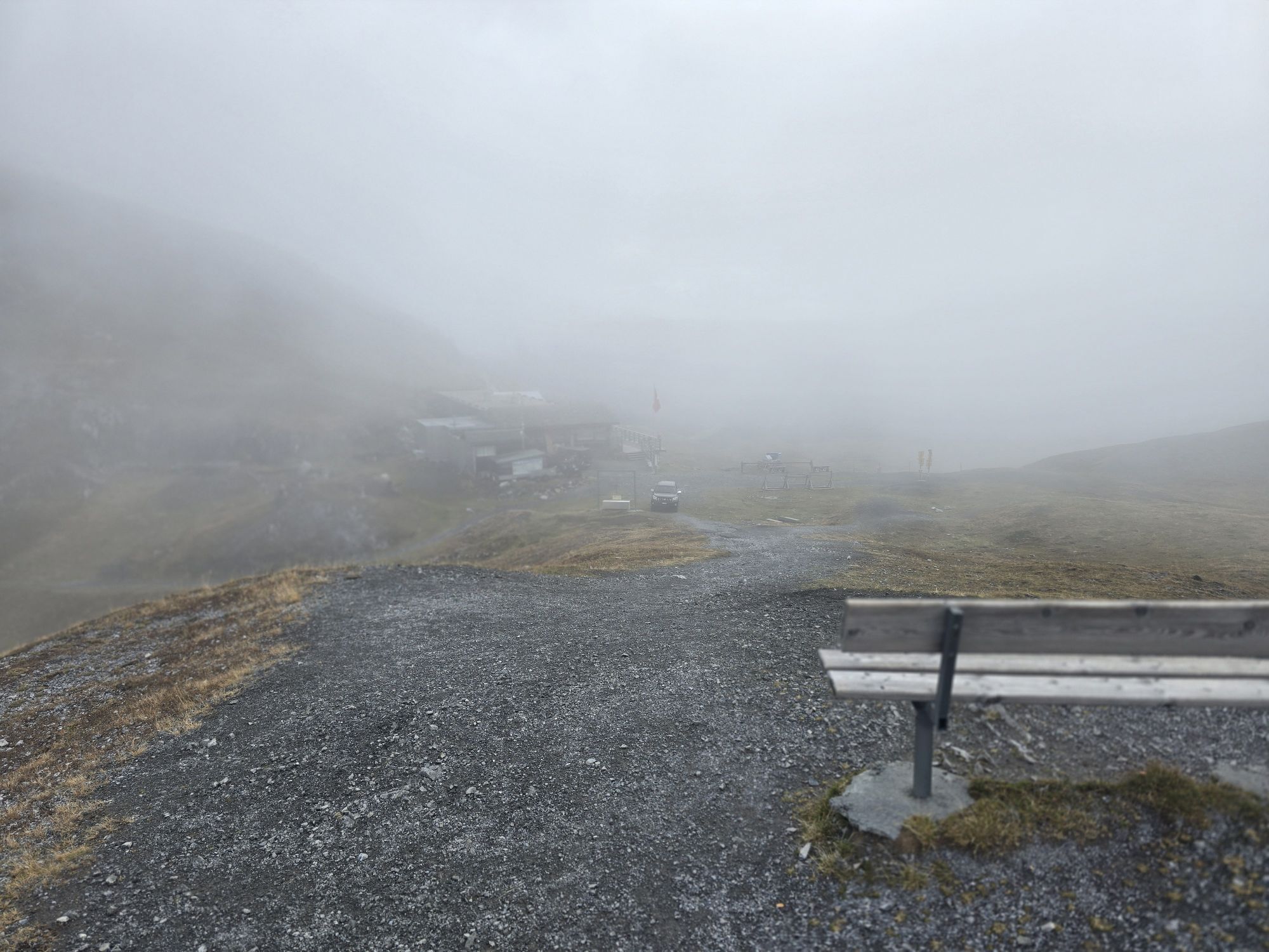
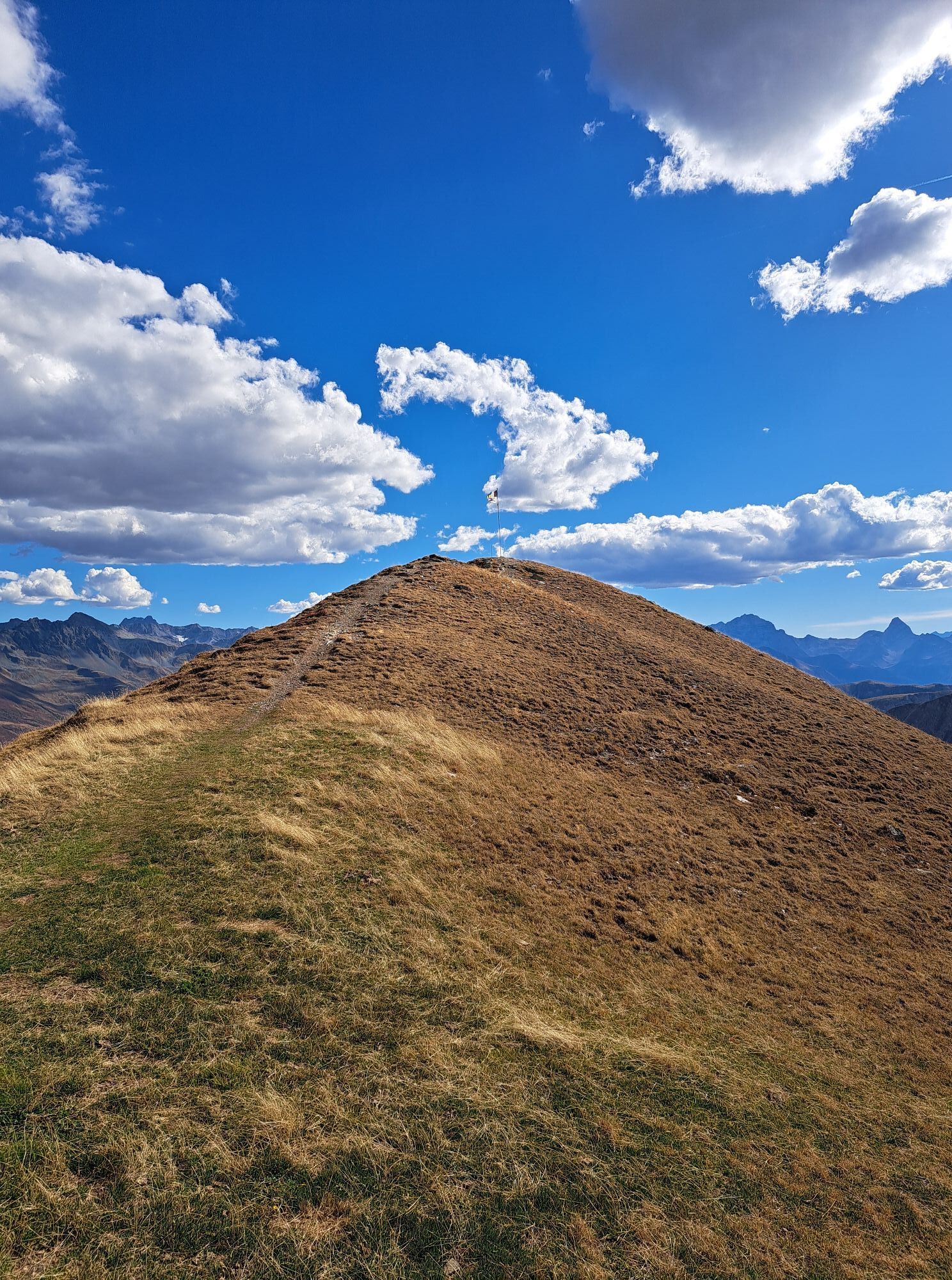
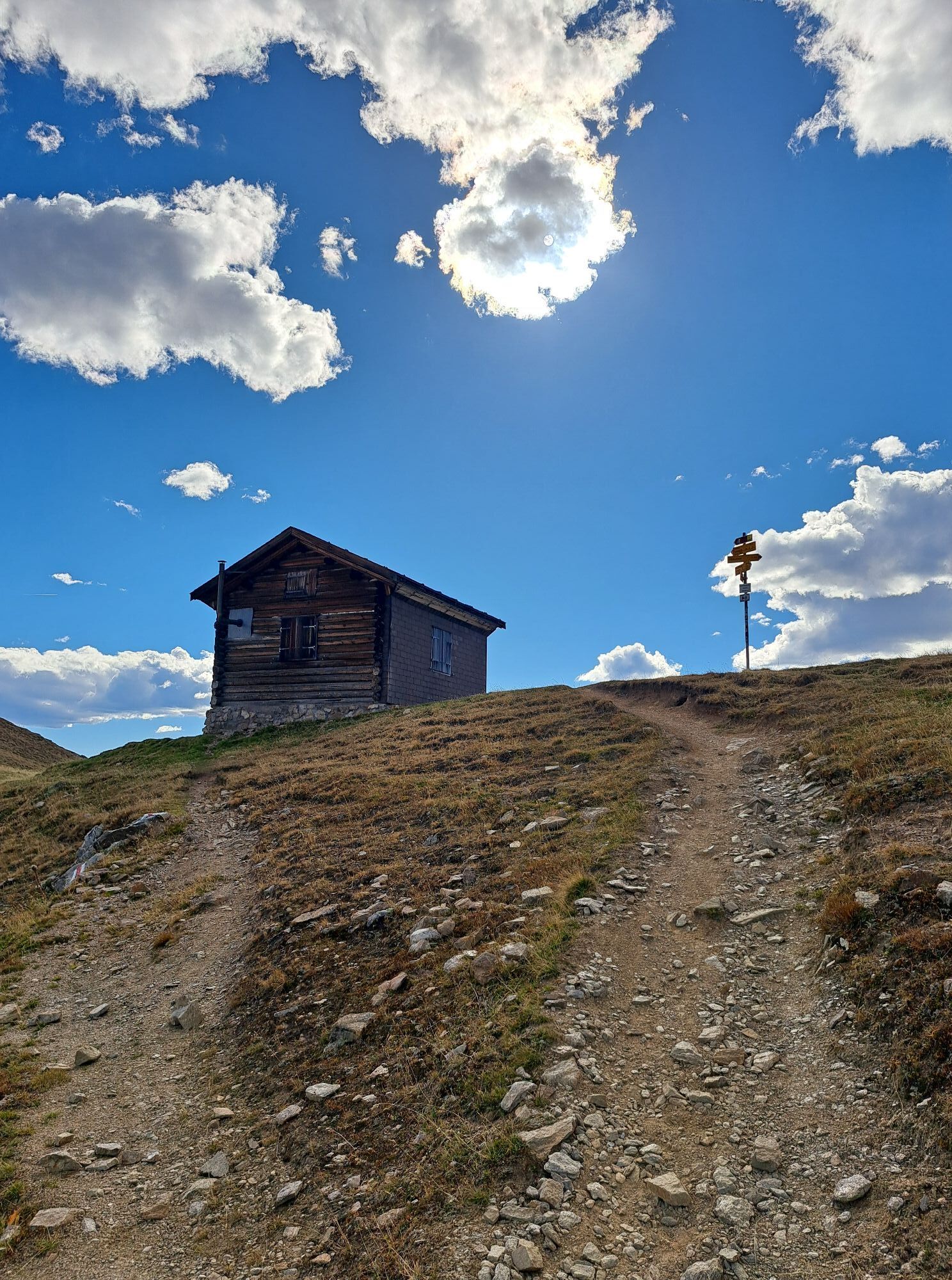
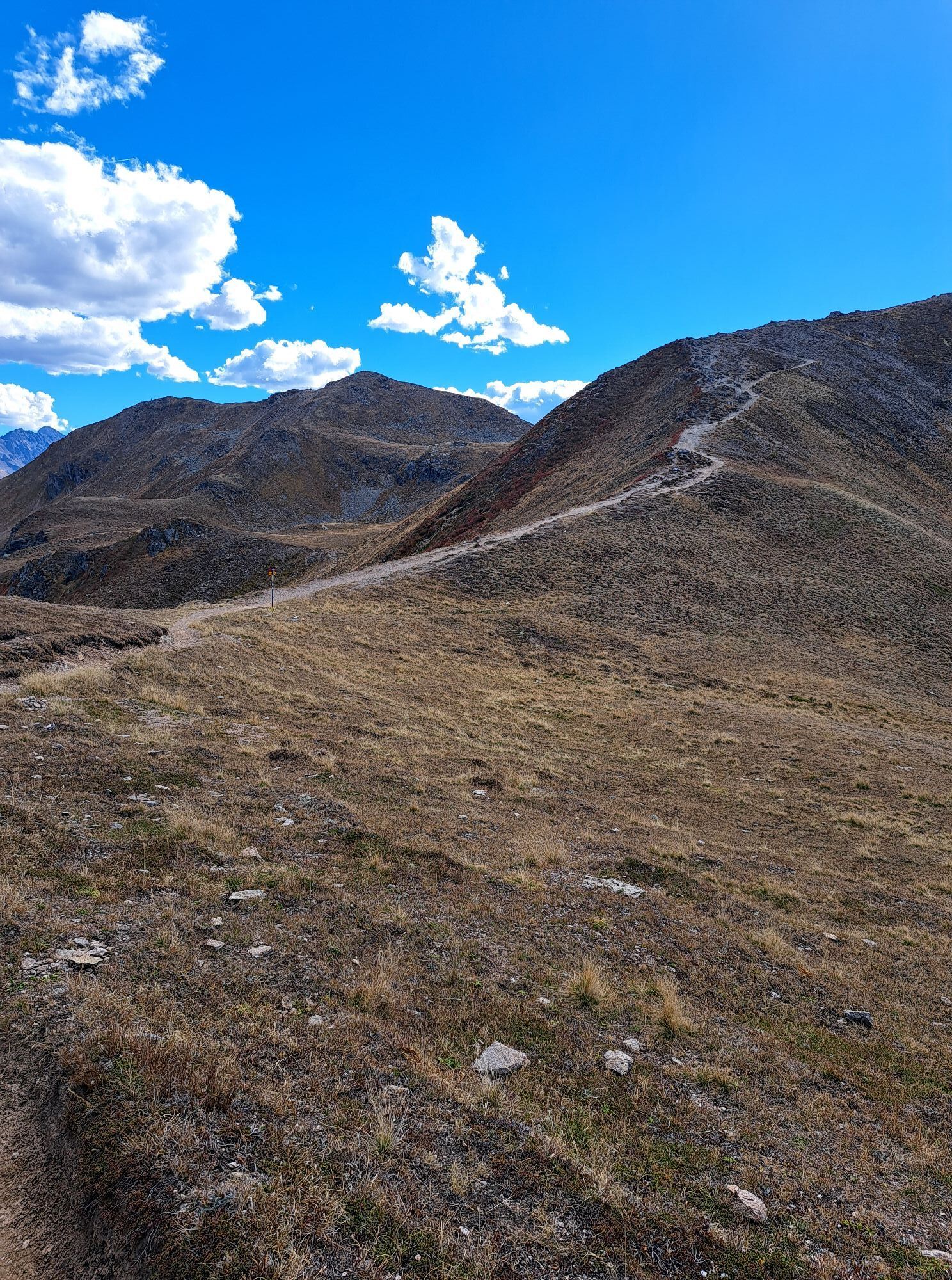
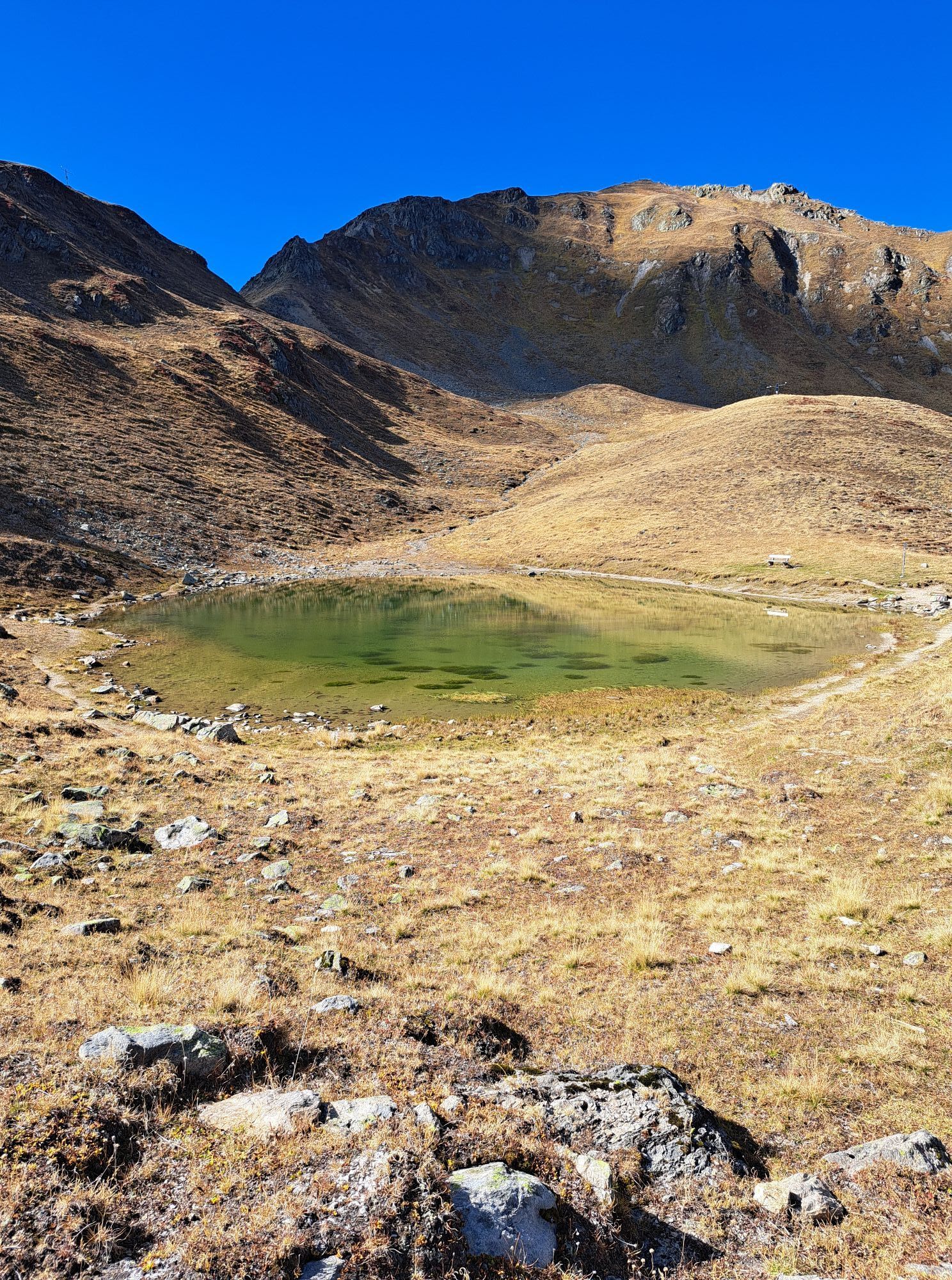
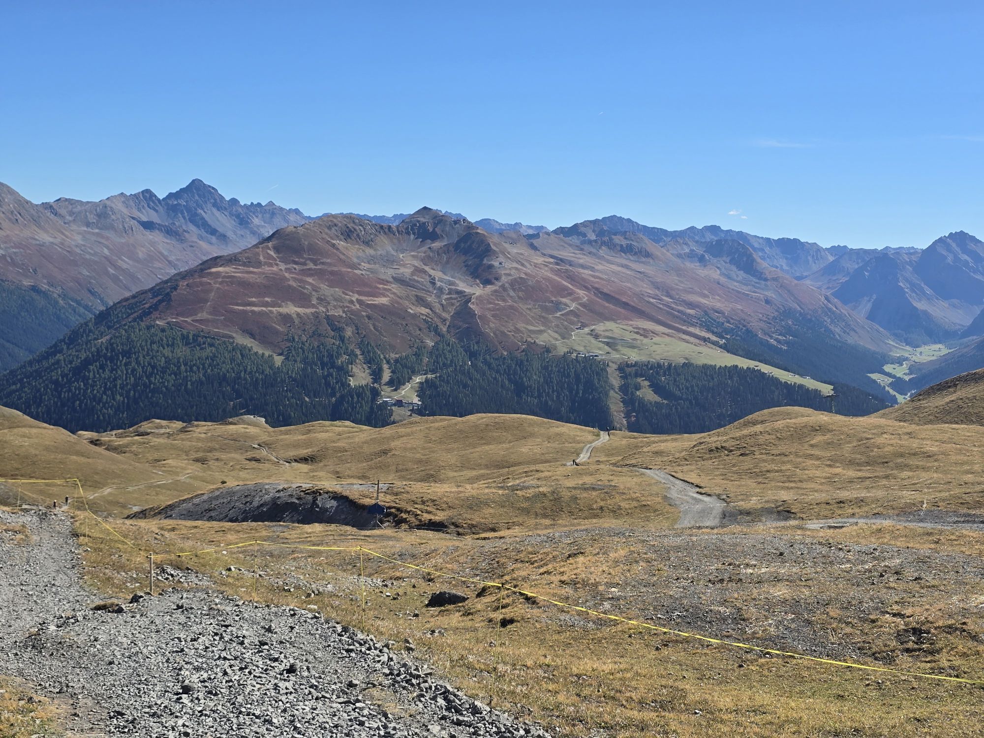
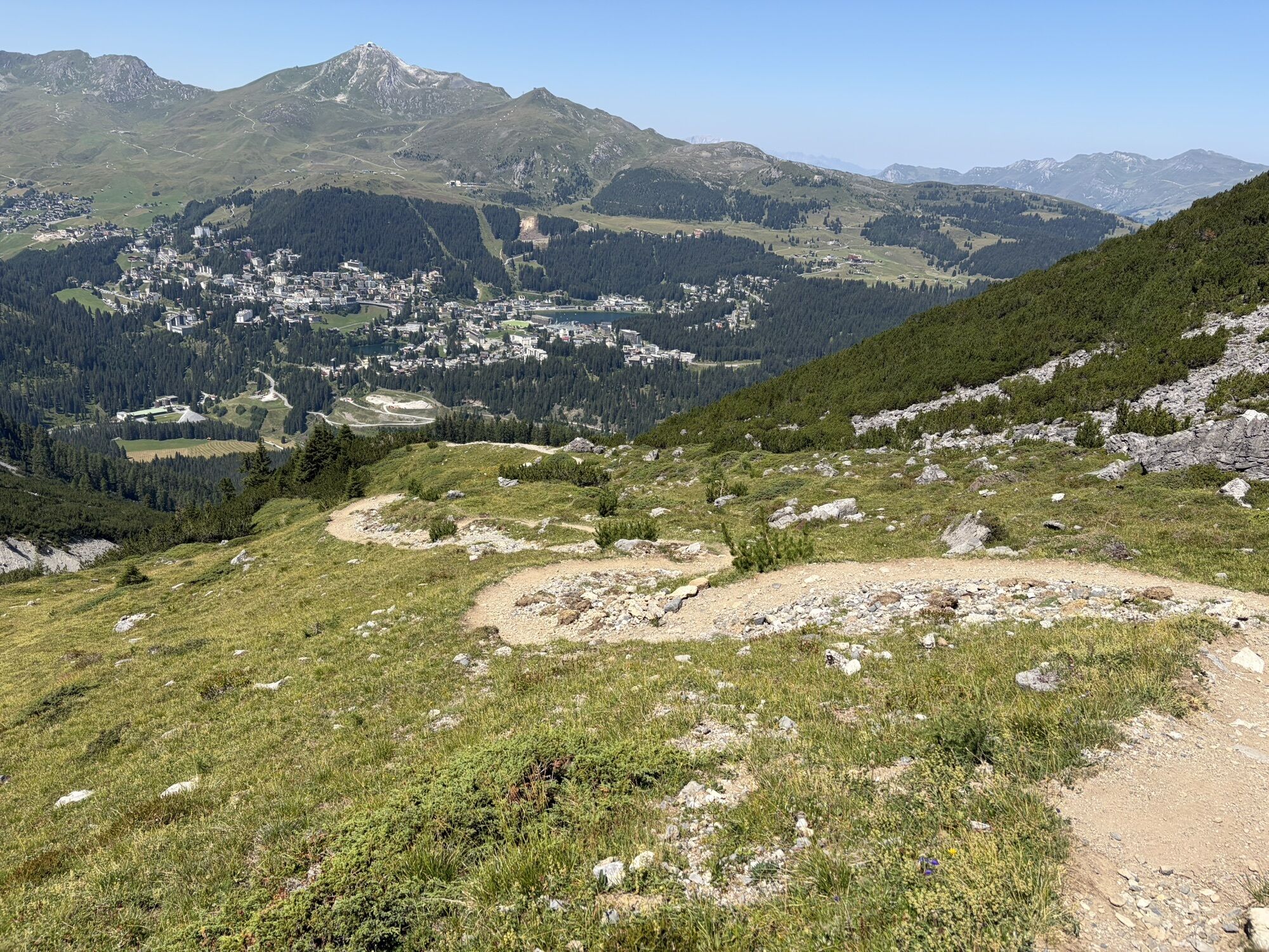
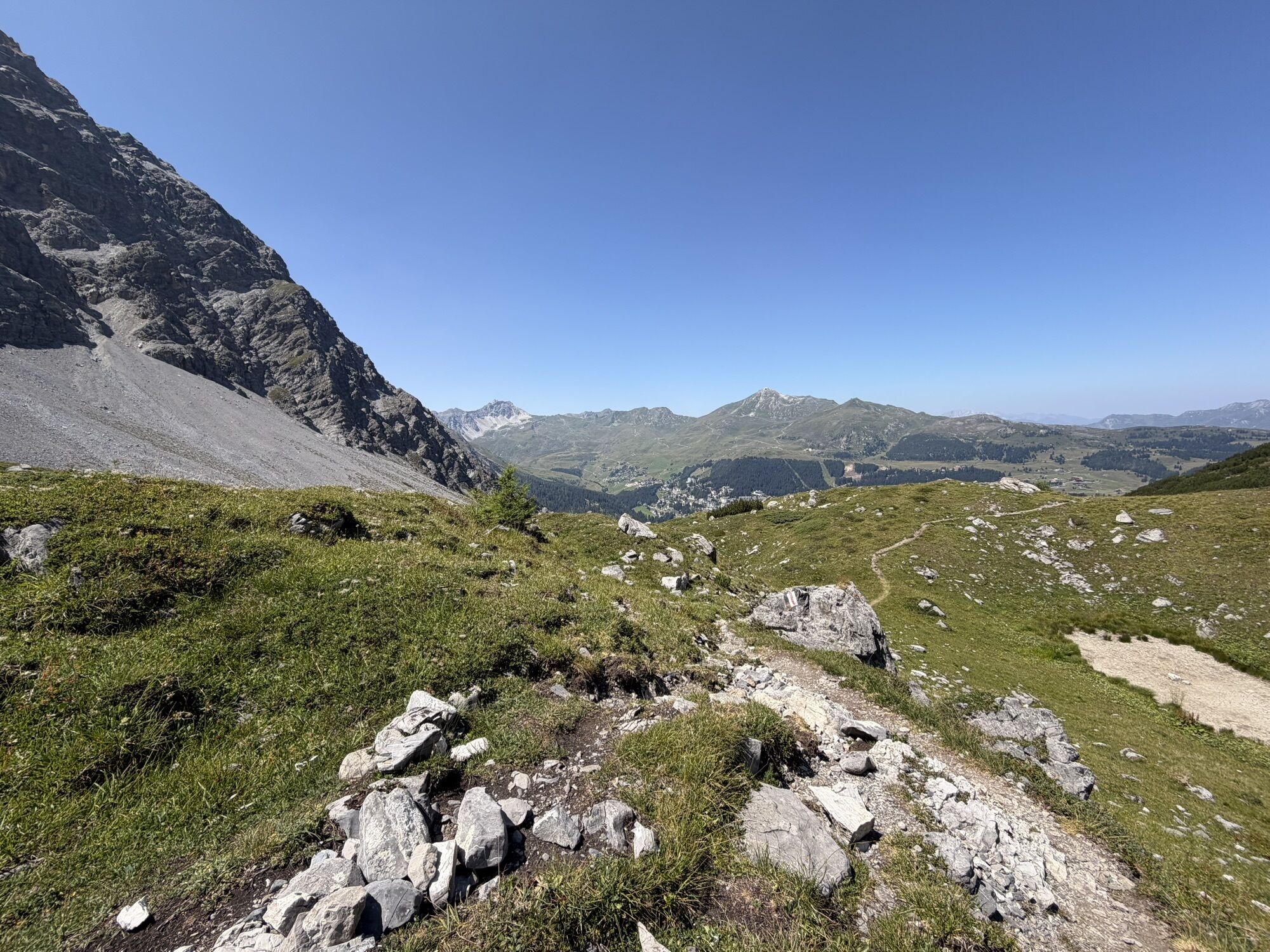


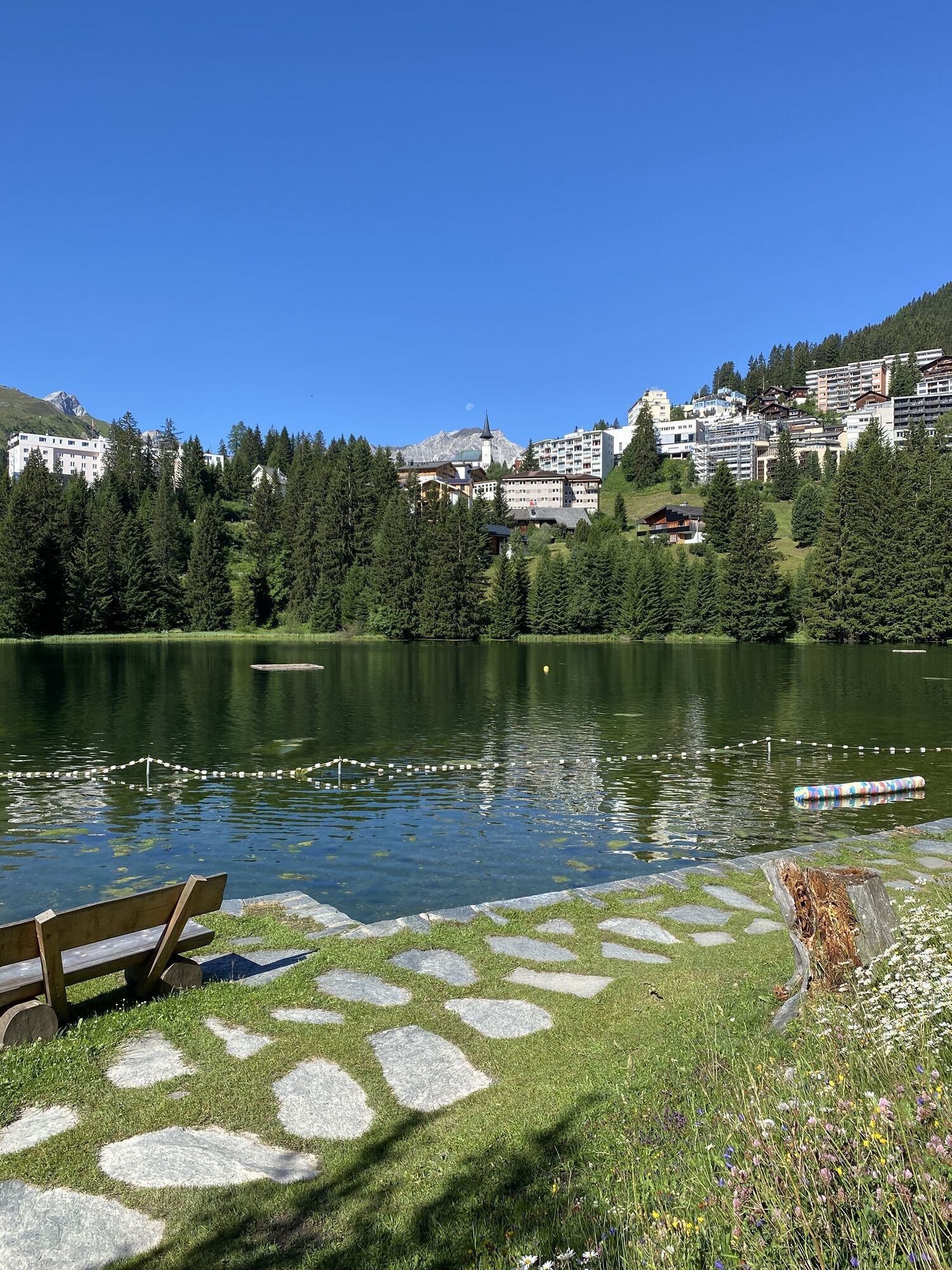


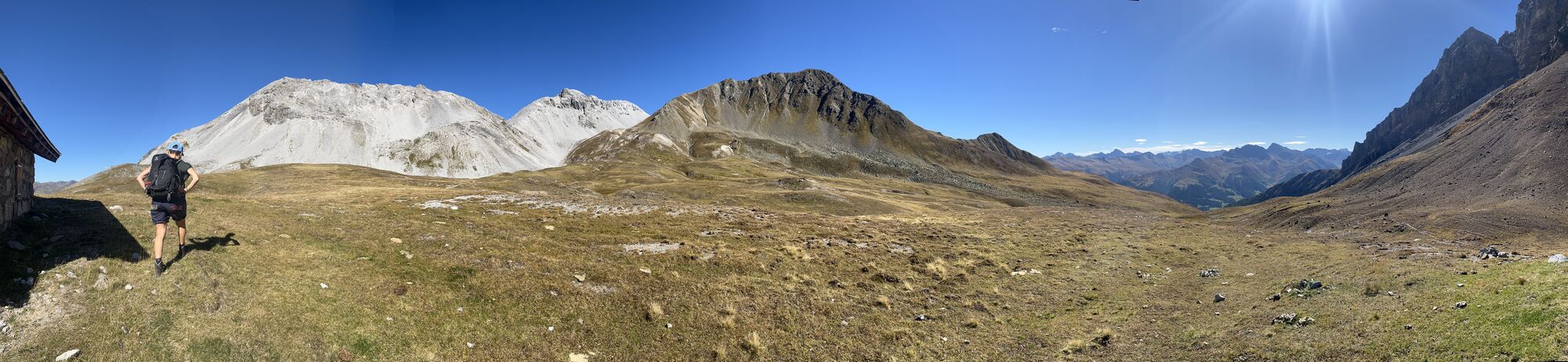
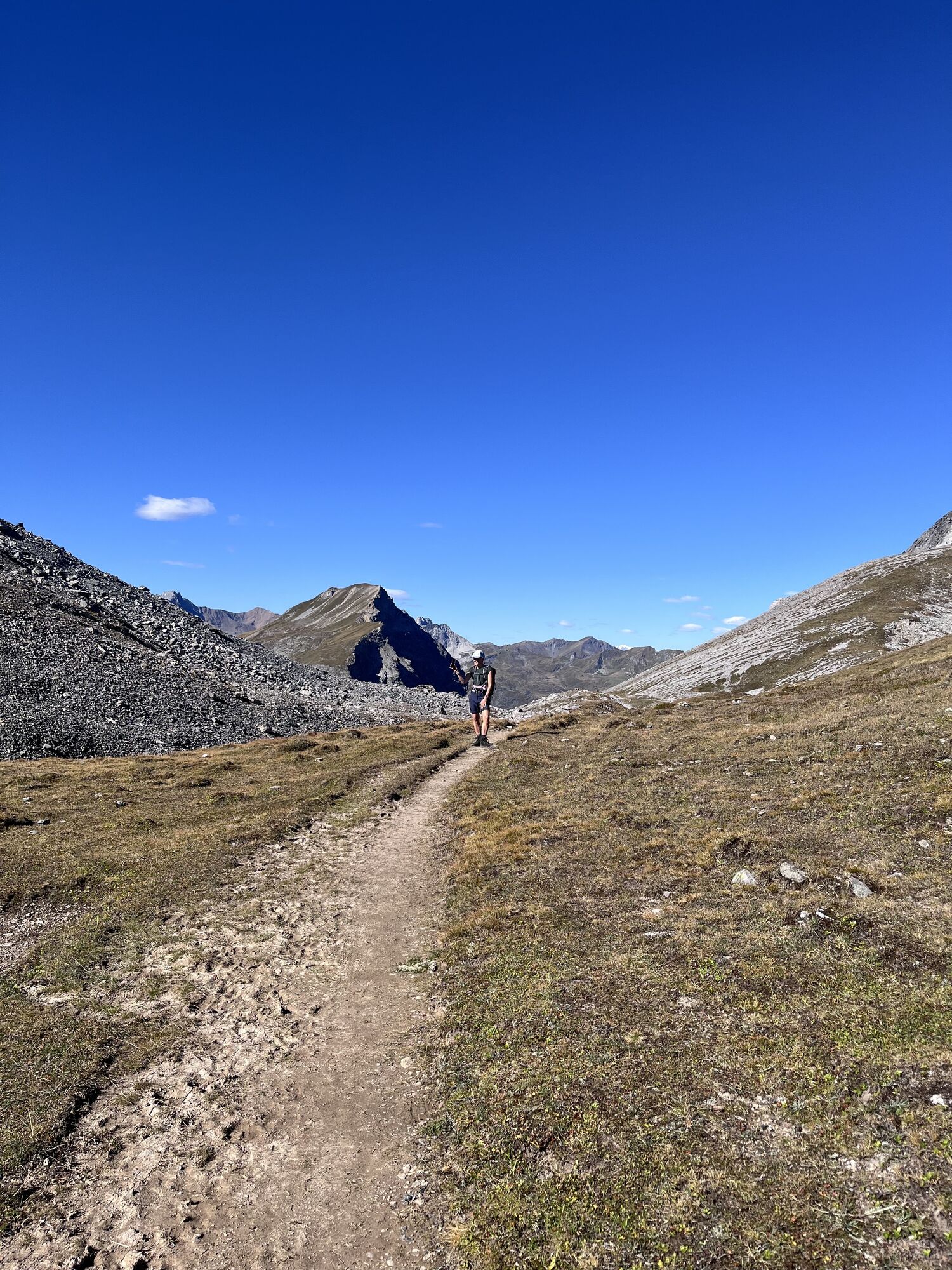
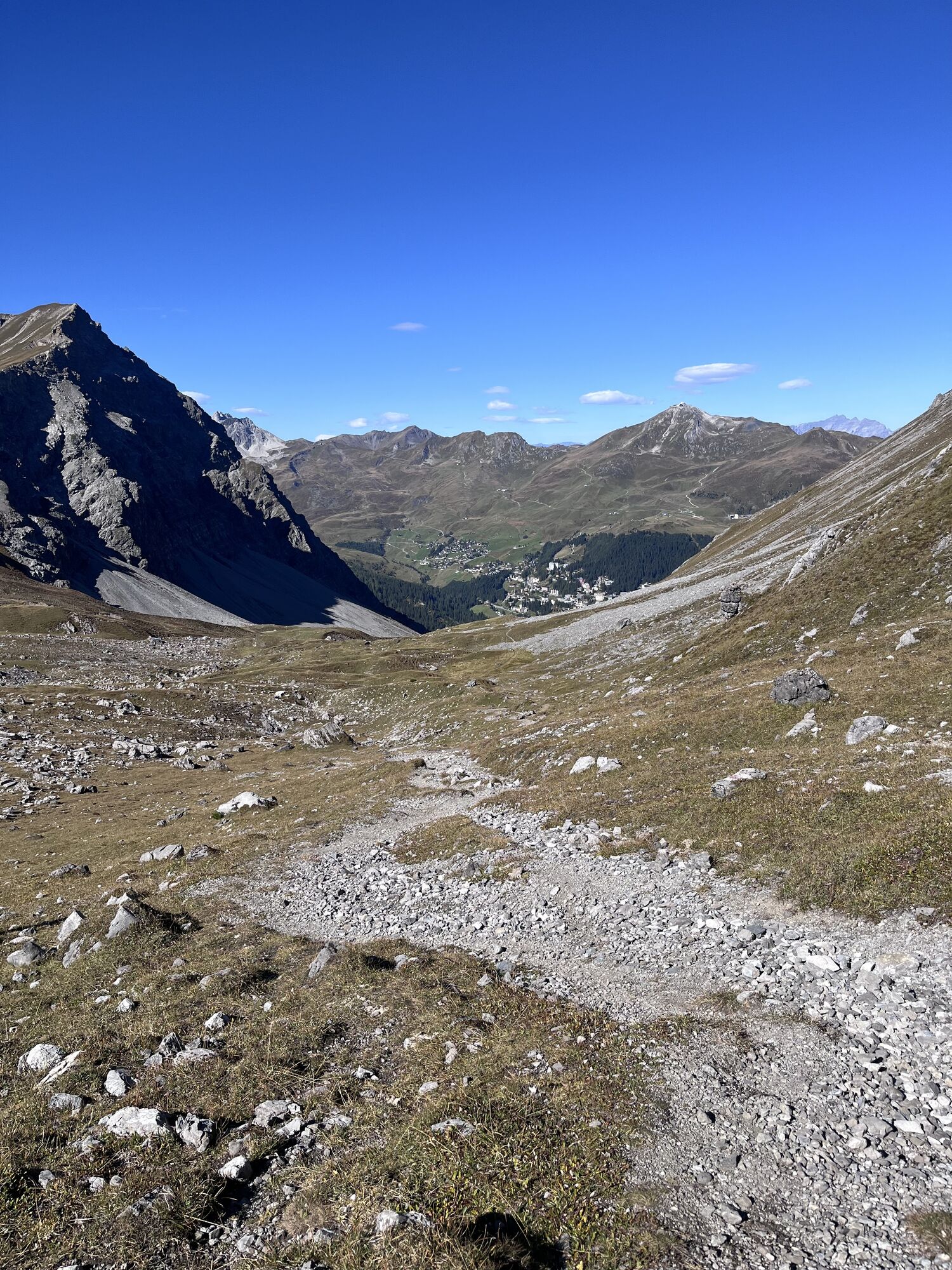
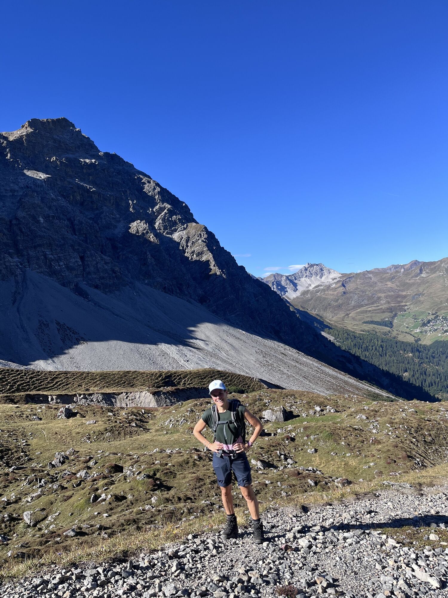

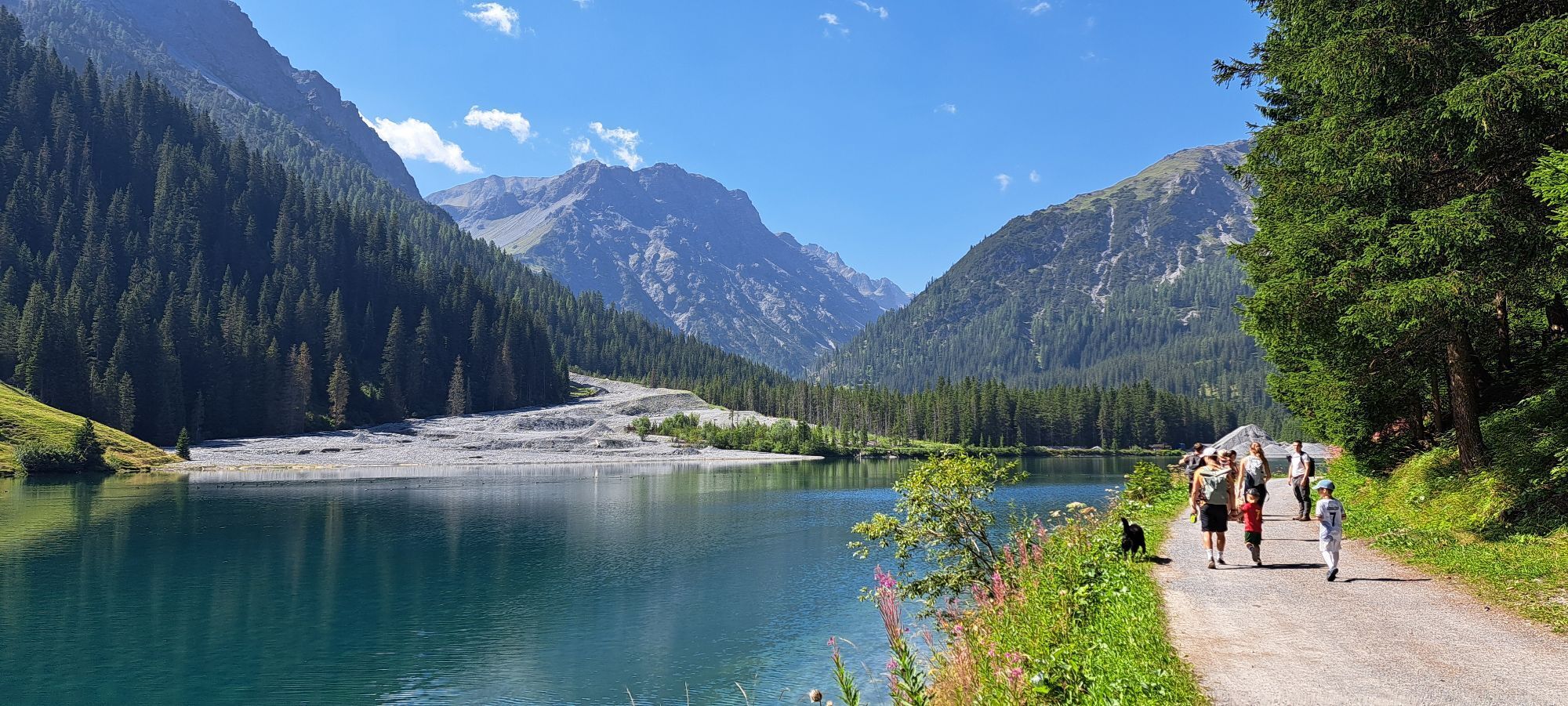
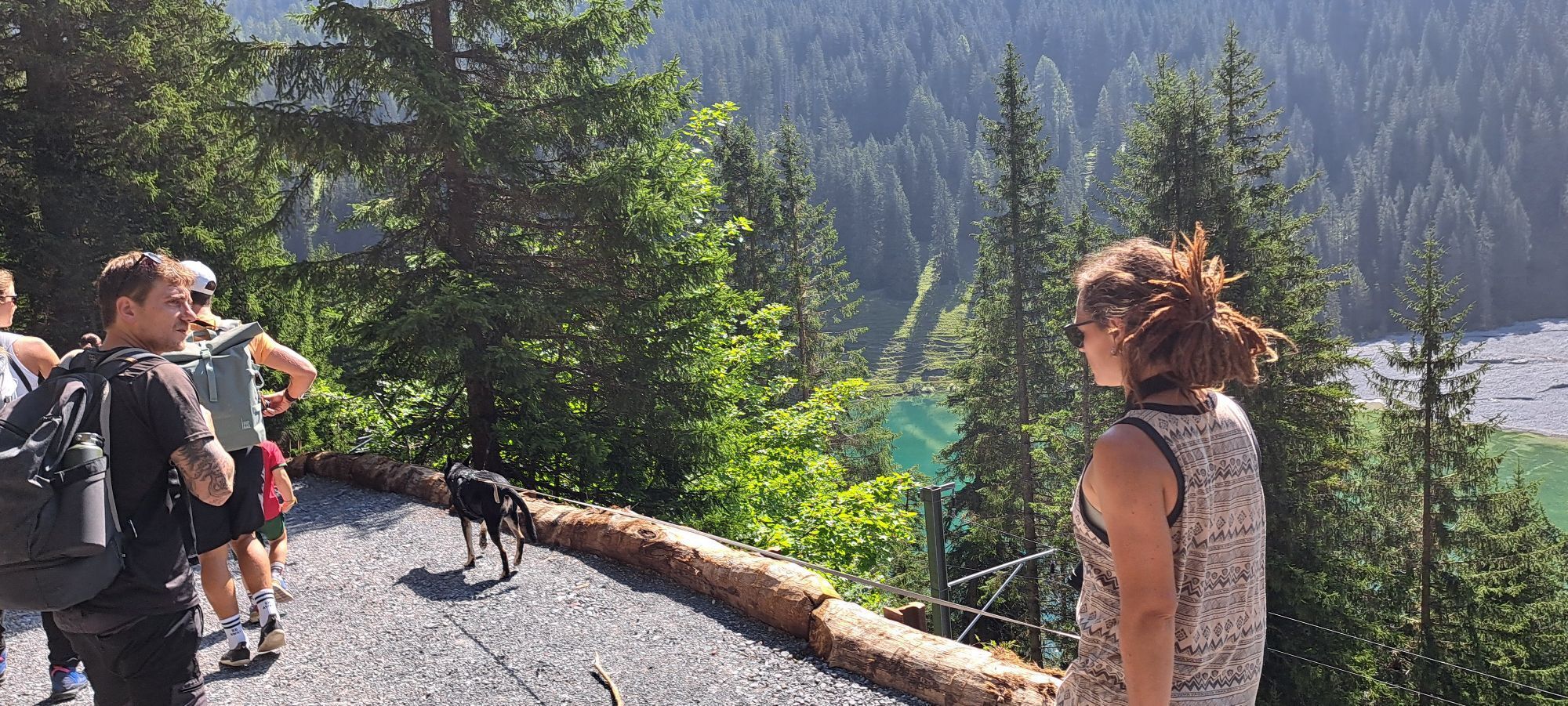
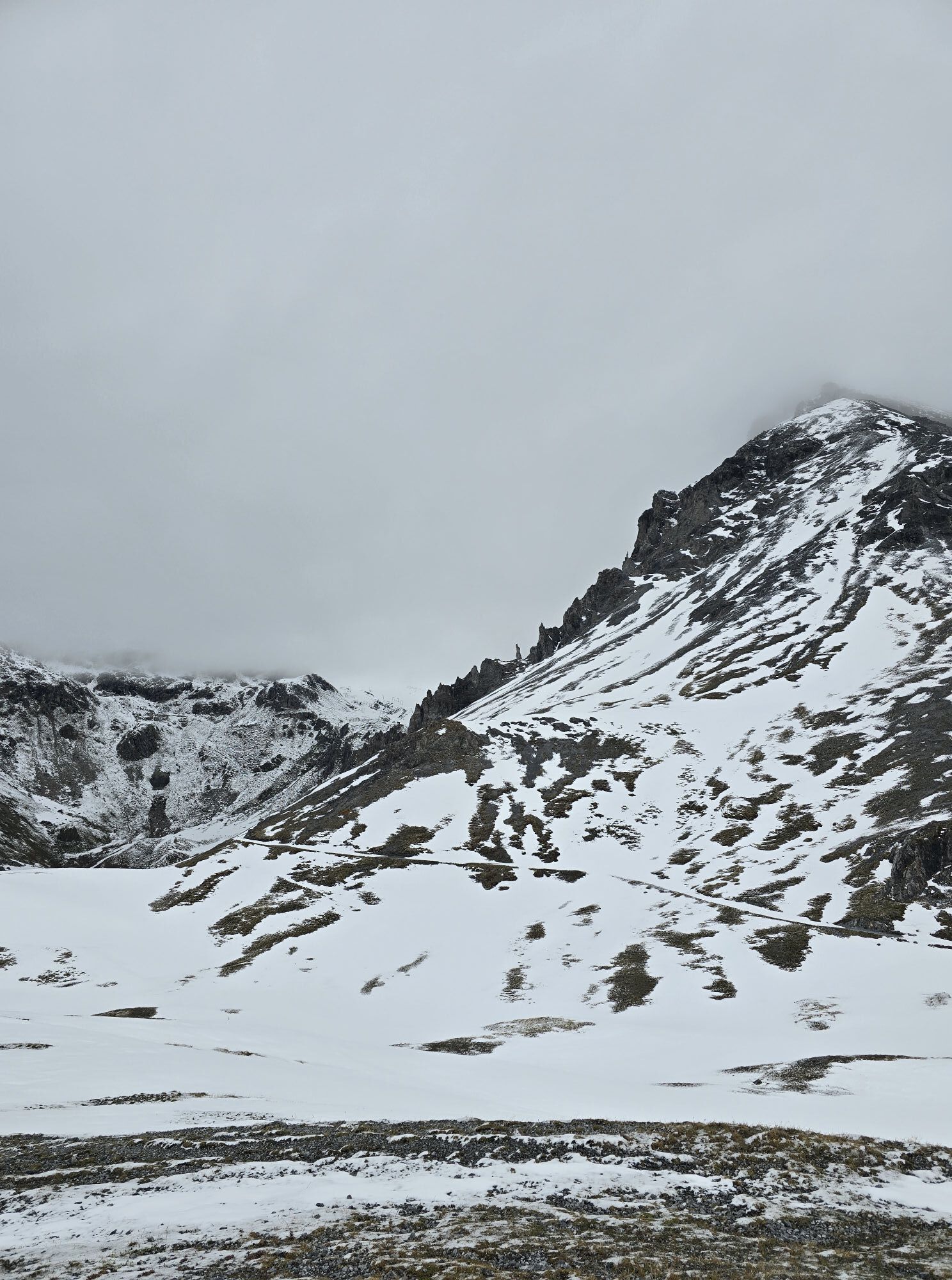
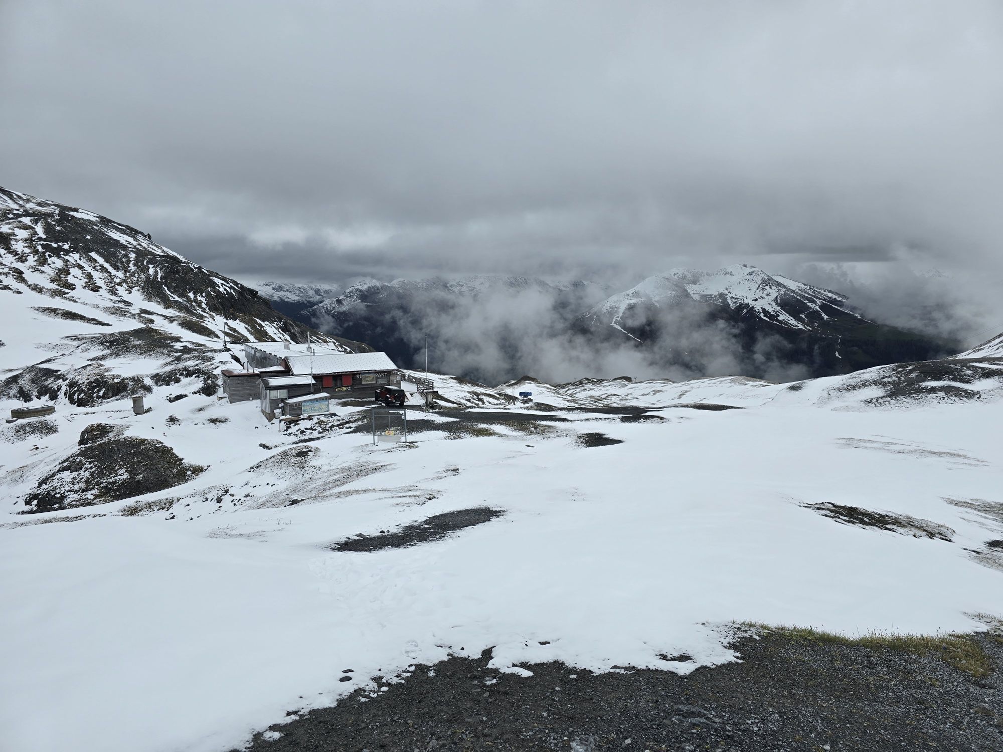
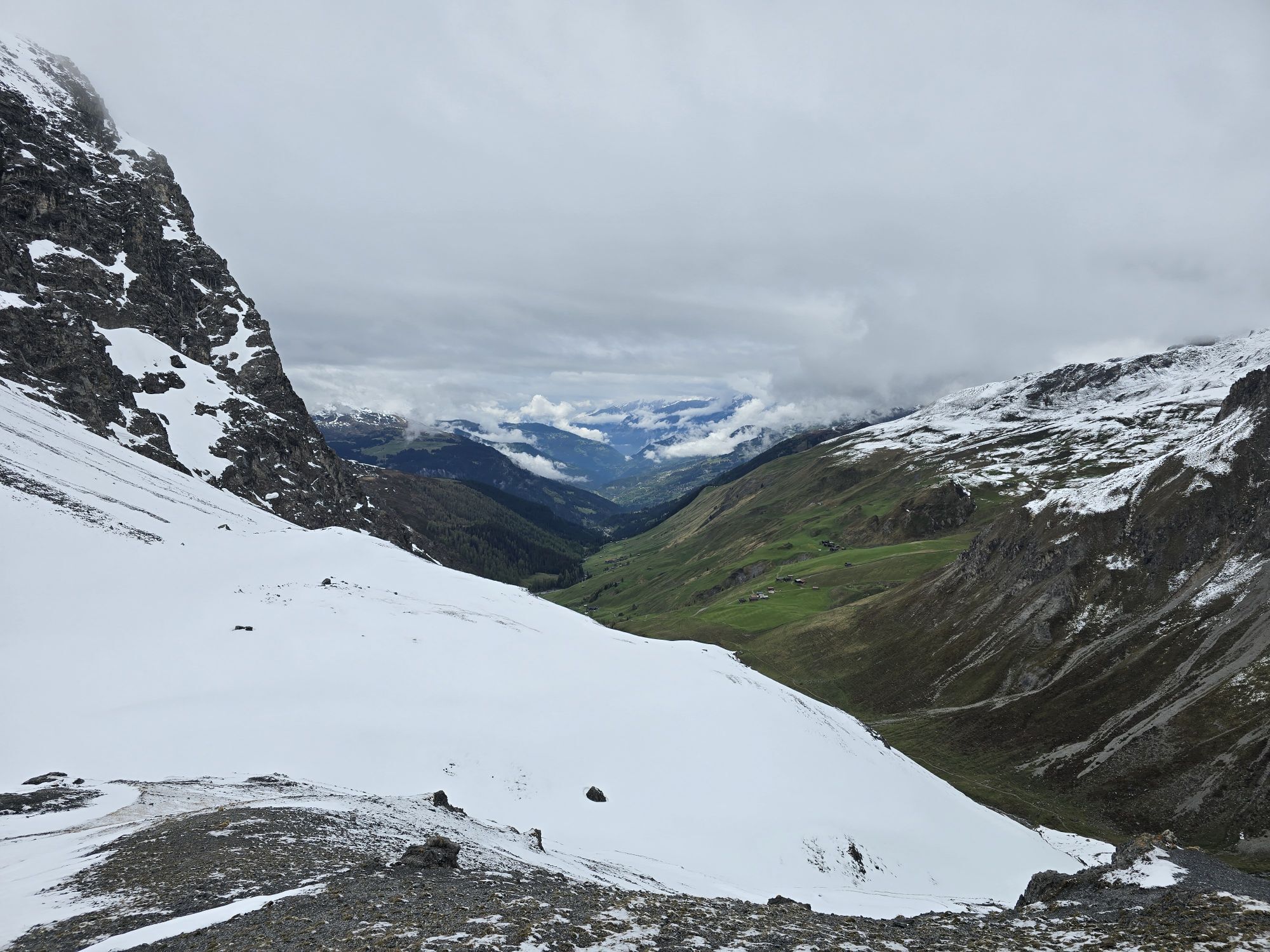
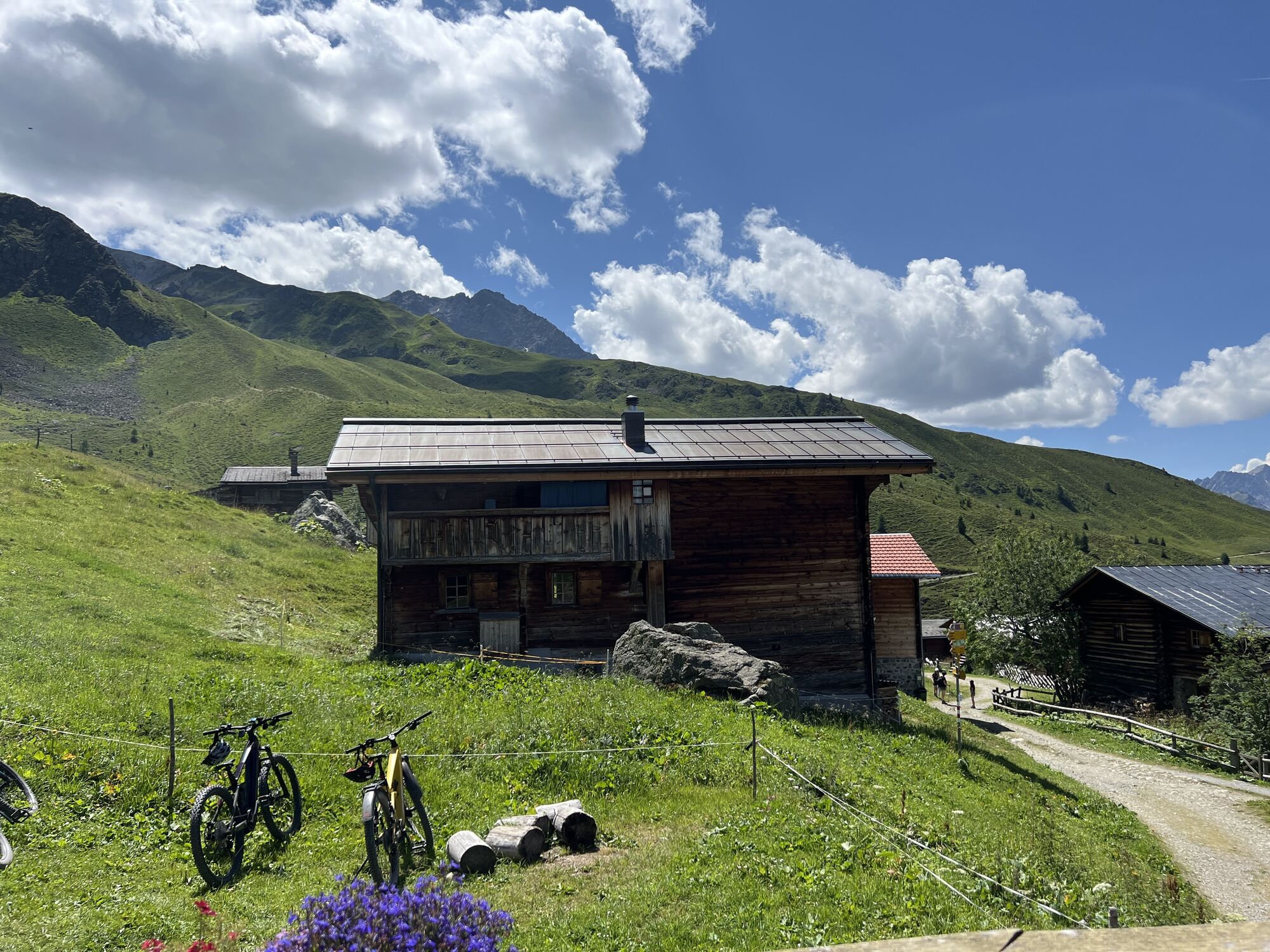
If you want to slowly get used to the long trails, this trail is just right. The route is a bit shorter than the main run but still allows you to enjoy the most beautiful spots in fast motion. For us,...
If you want to slowly get used to the long trails, this trail is just right. The route is a bit shorter than the main run but still allows you to enjoy the most beautiful spots in fast motion. For us, a best-of of the ATR.


From Chur, follow the signposts to Arosa. Before the Obersee, turn right and then another right at the beverage warehouse. The Scheitenböden are located where the chairlift floats above the street.
The Rhaetian Railway runs hourly from Chur to Arosa. The Scheitenböden are located just above the Arosa train station and are easily accessible on foot.
Since there are no parking spaces at Scheitenböden, it is recommended to park the car at the Obersee parking lot (directly in front of the beverage warehouse) or in the Ochsenbühl parking garage (to the left after the sports and congress center).

Webové kamery z prohlídky
-
Weissfluhjoch
-
Davos / Schweizerische Alpine Mittelschule
-
Arosa - Hörnli
-
Hotel Schatzalp Davos
-
Bolgen
-
Bergstation Schatzalp-Bahn
-
Schatzalp - Sommerrodelbahn
-
Strela Berg
-
Strela Pass - Davos
-
Strela Pass - Davos
-
Davos Platz
-
Davos / Schweizerische Alpine Mittelschule
-
Davos / Schweizerische Alpine Mittelschule
-
Davos / Schweizerische Alpine Mittelschule
-
Davos / Schweizerische Alpine Mittelschule
-
Davos / Schweizerische Alpine Mittelschule
-
Davosersee
-
Davosersee
-
Davosersee
-
Arosa - Tschuggen
-
Weissfluhjoch
-
Weissfluhjoch
-
Weissfluhjoch
-
Weissfluhjoch
-
Weissfluhjoch
-
Davosersee
-
Restaurant Schatzalp
-
Arosa - Bärenland
-
Arosa - Weisshorn
-
Arosa - Dorf
-
Arosa - Alp Maran
-
Alp Maran - Golfhaus Arosa
-
Sommerrodelbahn Davos Schatzalp
-
Hotel Schatzalp Davos
-
Berghotel Schatzalp Vorplatz
-
Davos Langlaufzentrum
-
Davos Langlaufzentrum
-
Davos Langlaufzentrum
-
Davos Langlaufzentrum
-
Davos Langlaufzentrum

Oblíbené prohlídky v okolí
-
4.8
Jöriseen
středníTuristika 11.3 km -
4.7
Fluela Schwarzhorn 3147 m
světloVysokohorská turistika 7.34 km -
3.9
Arosa-Medergen-Tritt-Latschüelfurgga-Strelapass-Davos
středníTuristika 22.5 km -
Arosa-Schwellisee-Älplisee-Parpaner Rothorn
Turistika 12.3 km -
Flüelapass – Schwarzhorn (return)
středníTuristika 7.92 km -
4.7
Arosa-Hörnli-Parpaner Rothorn-Lenzerheide
Turistika 11.9 km -
3.5
Arosa-Maienfelder Furgga-Stafelalp-Davos
středníTuristika 15.9 km -
5.0
Eichhörnliweg Arosa
světloTematická stezka 1.72 km -
5.0
4-Viaduct hike
středníTuristika 13.6 km -
5.0
767 Alteinsee Schiesshorn
středníTuristika 11.9 km
Pěší turistika a stopování


Nenechte si ujít nabídky a inspiraci pro vaši příští dovolenou
Vaše e-mailová adresa byl přidán do poštovního seznamu.


