







Via Grischuna stage 5: Bivio - Sils Maria
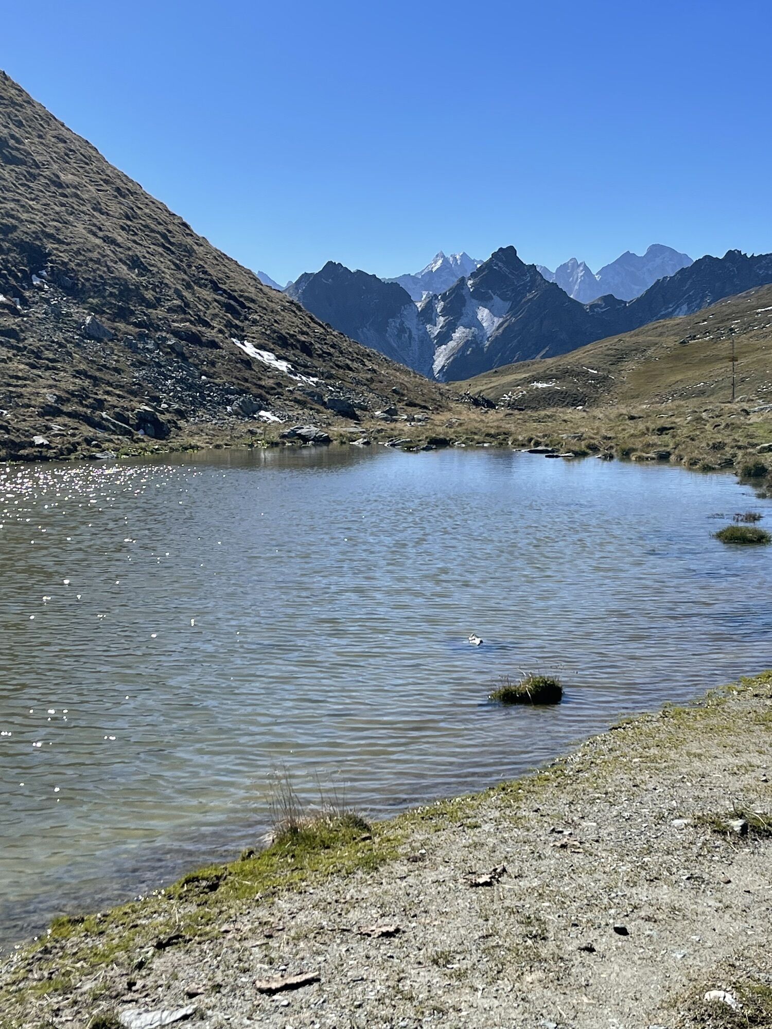
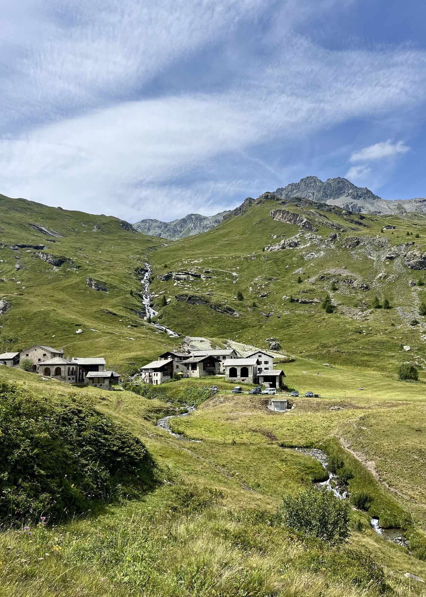
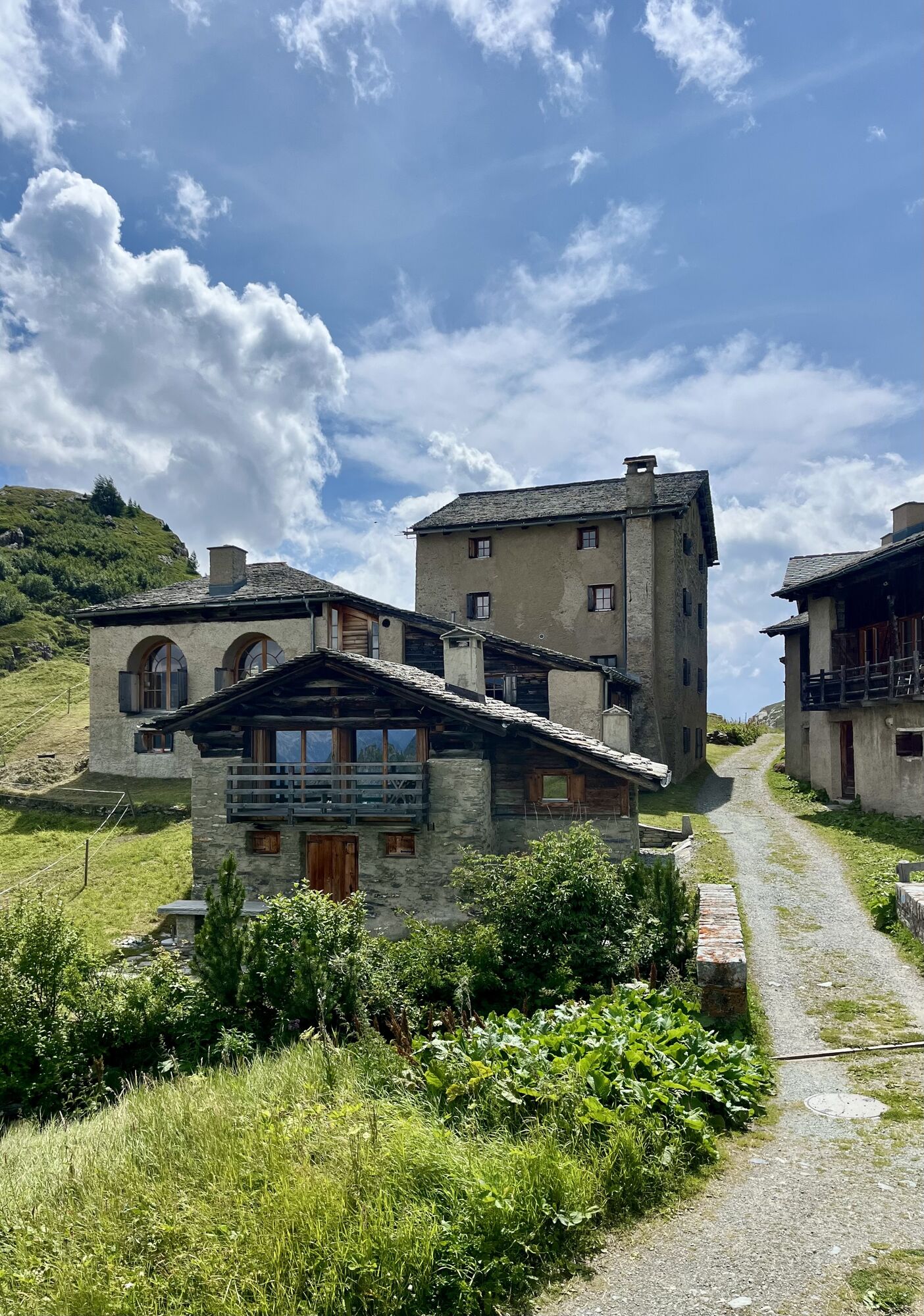
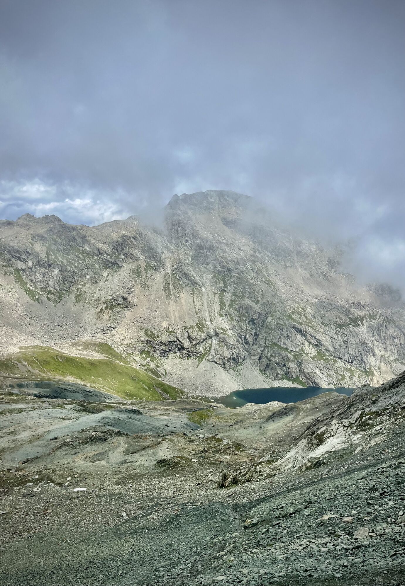
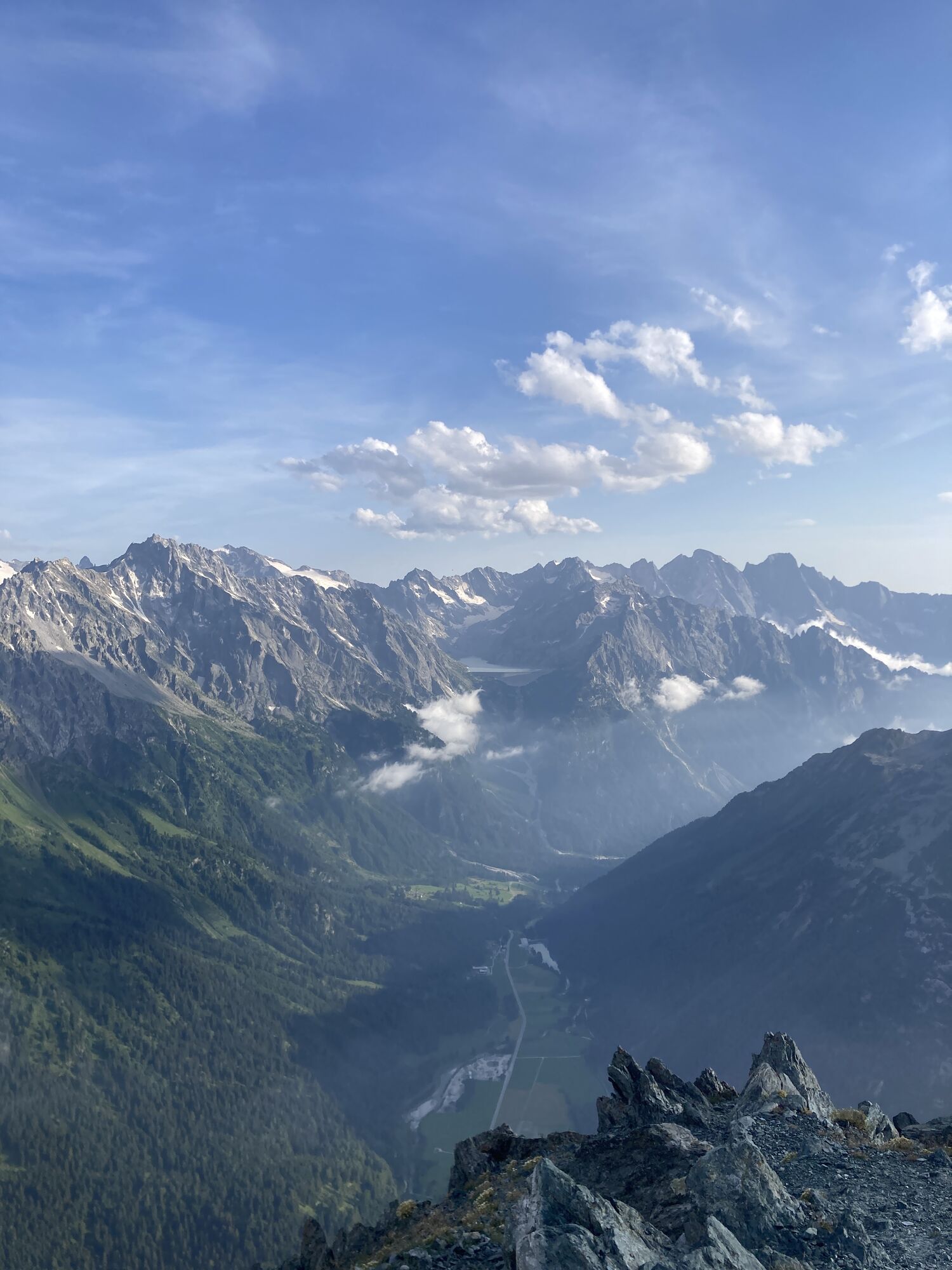
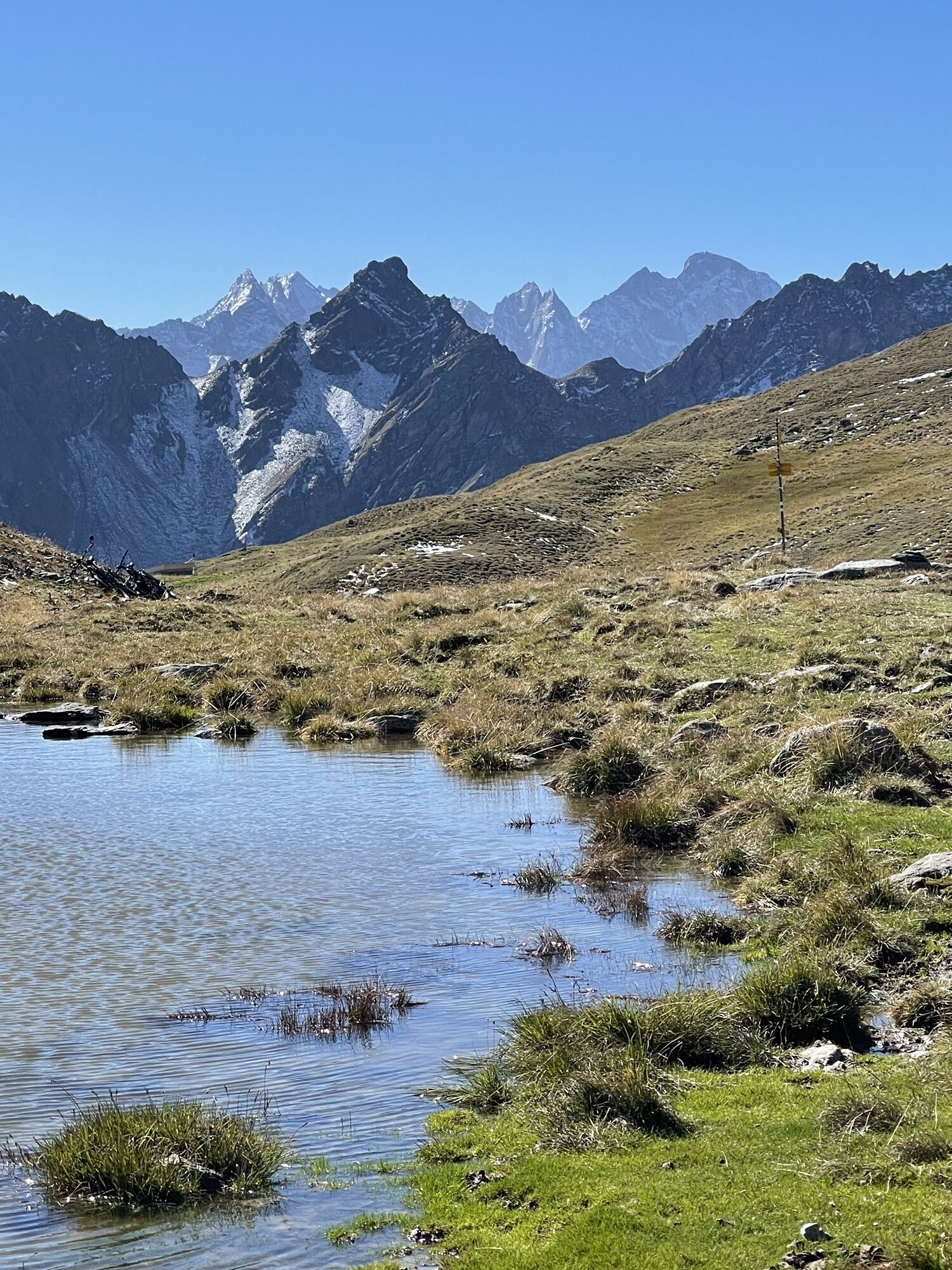
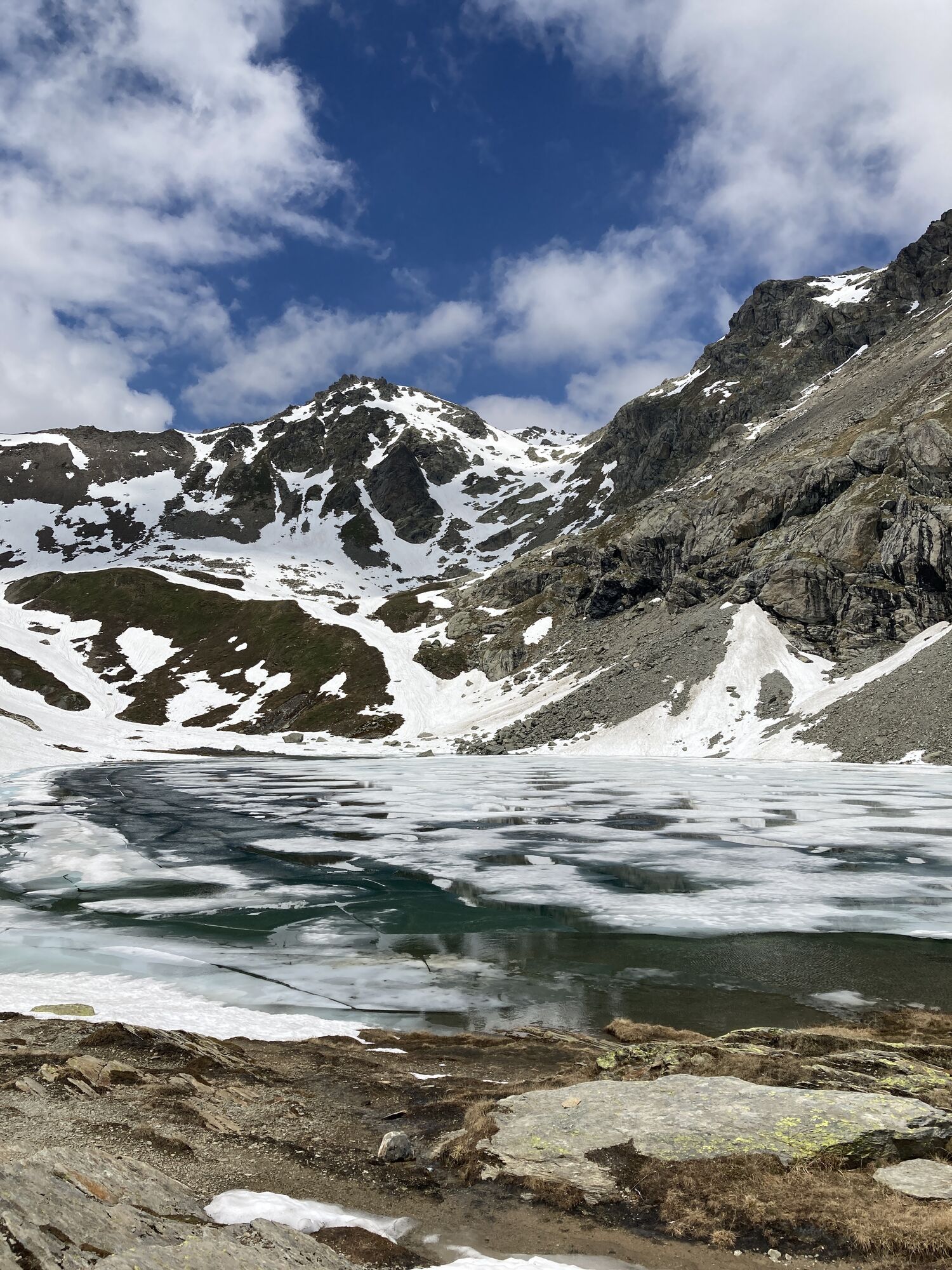
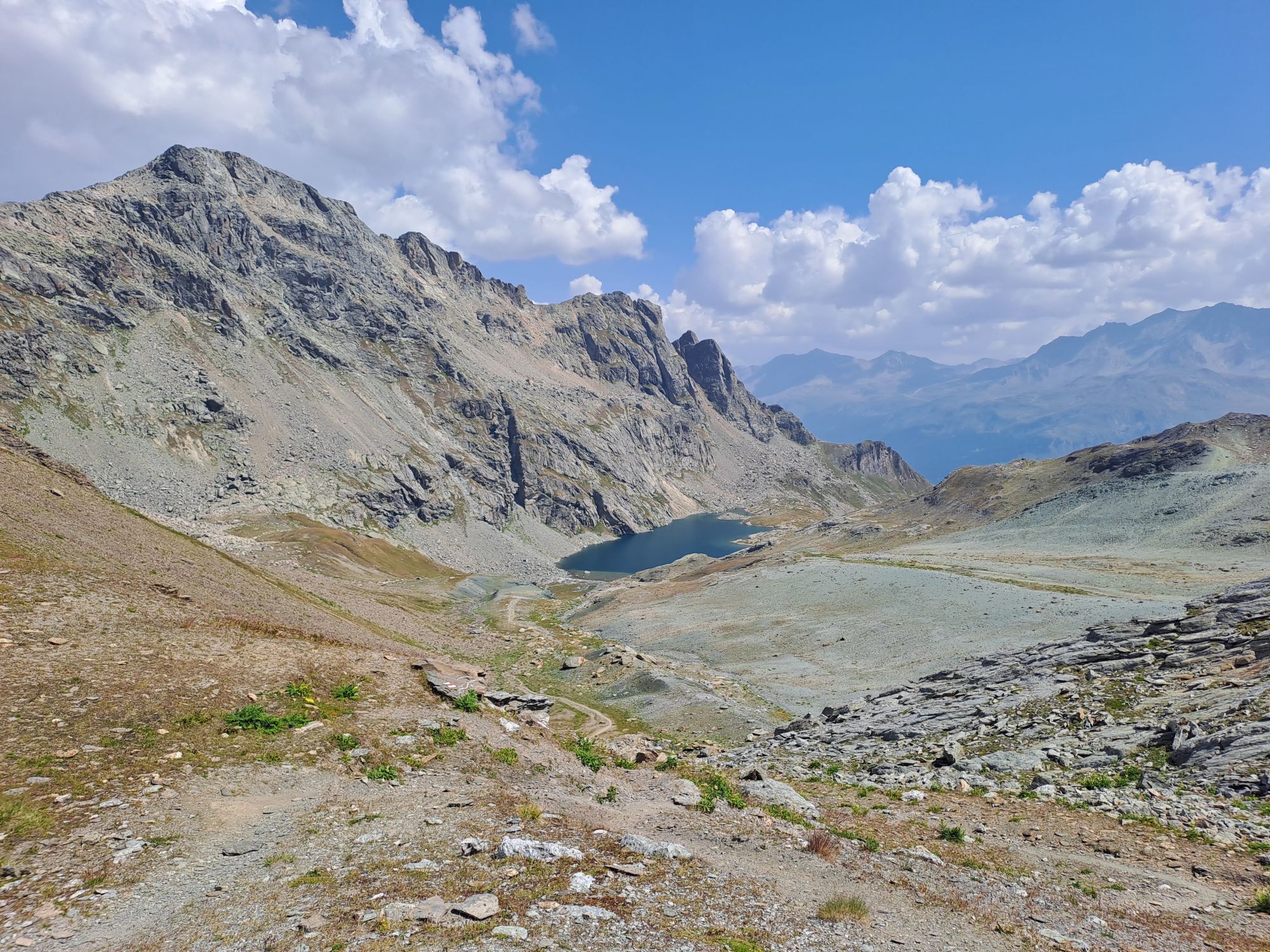
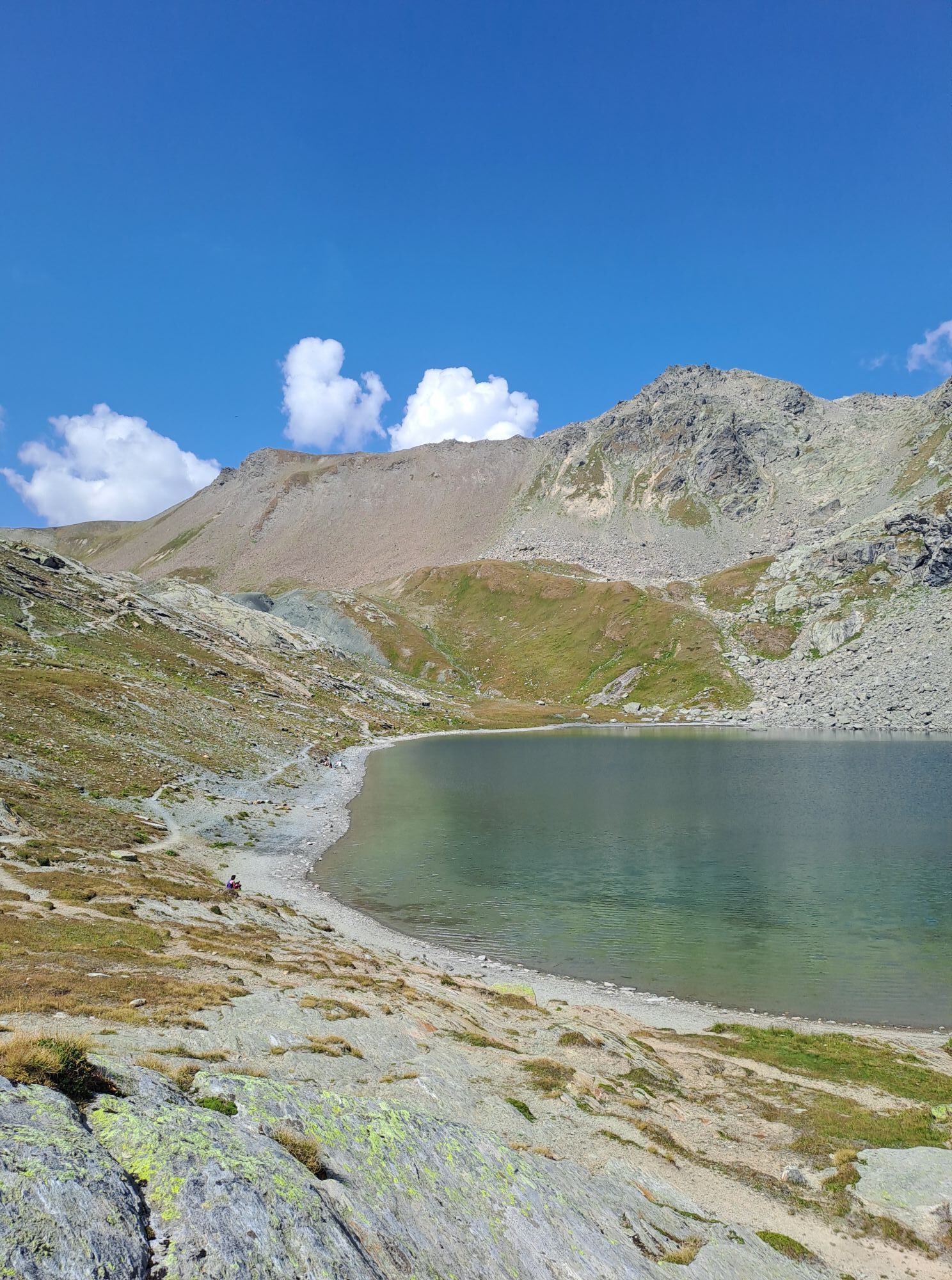
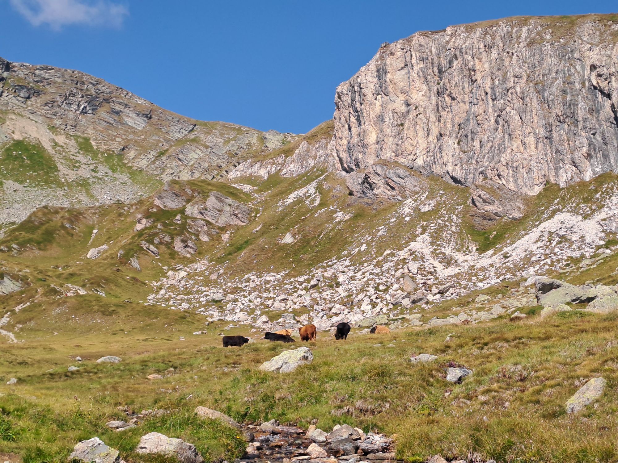
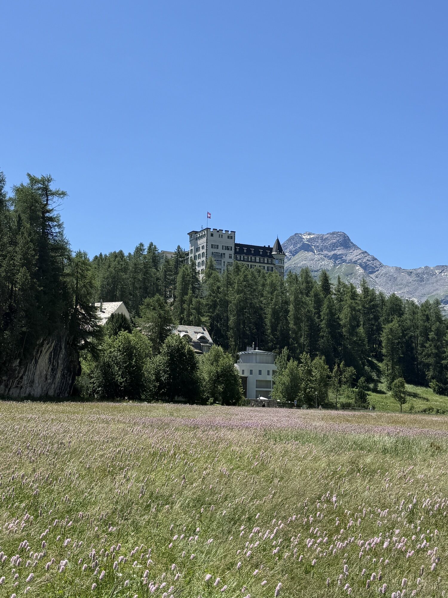
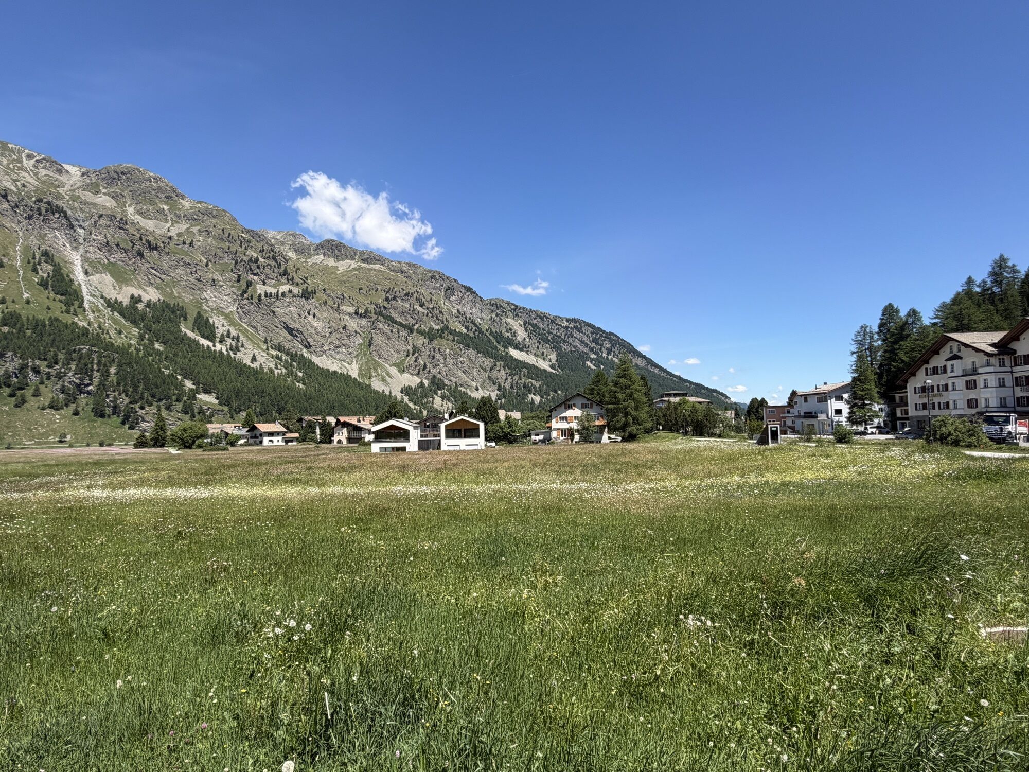
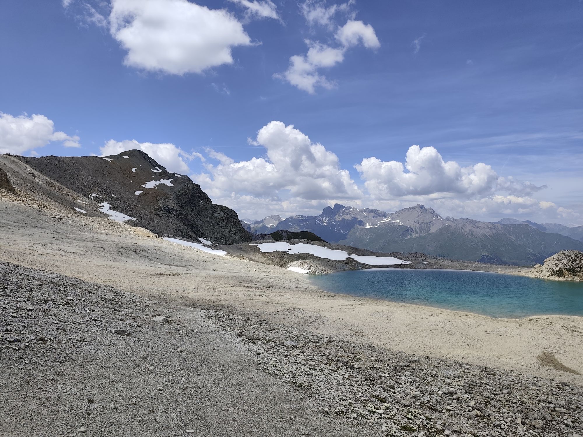
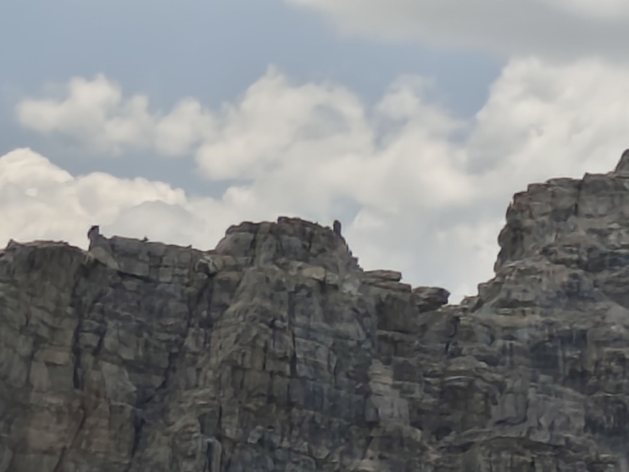
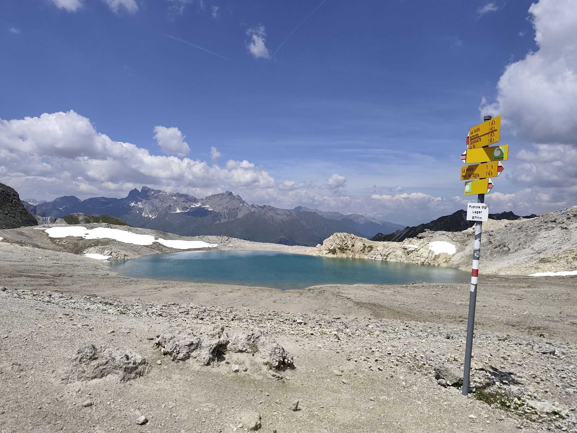
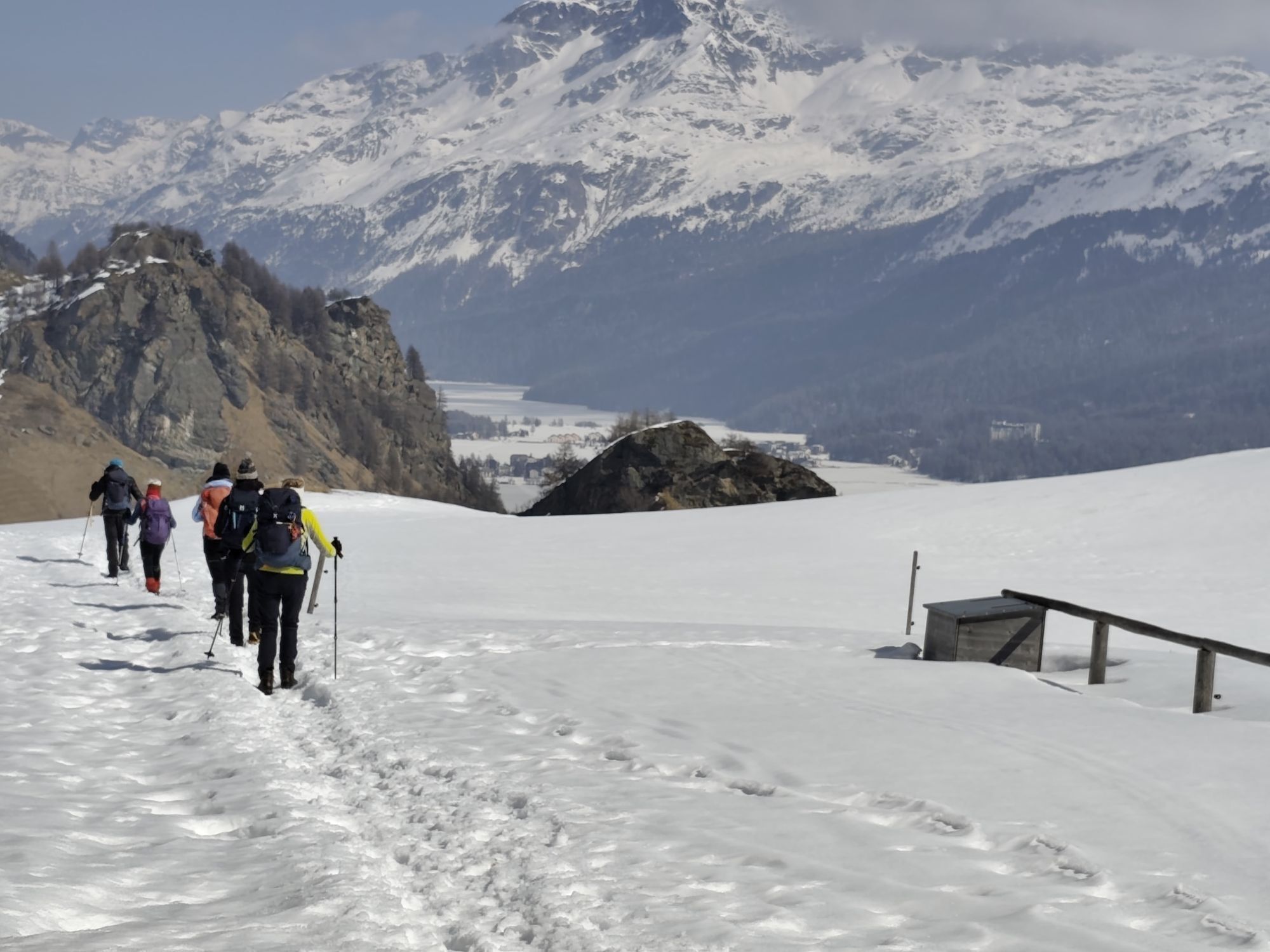
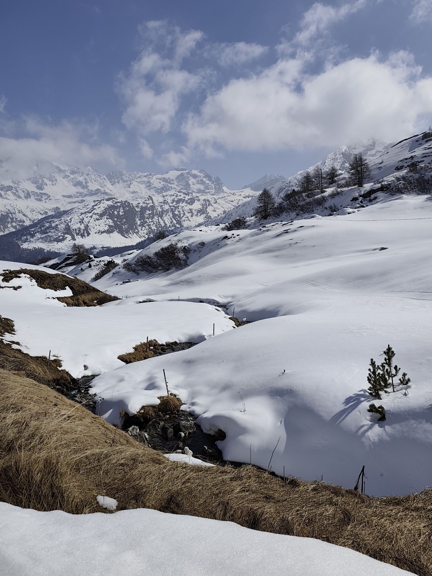
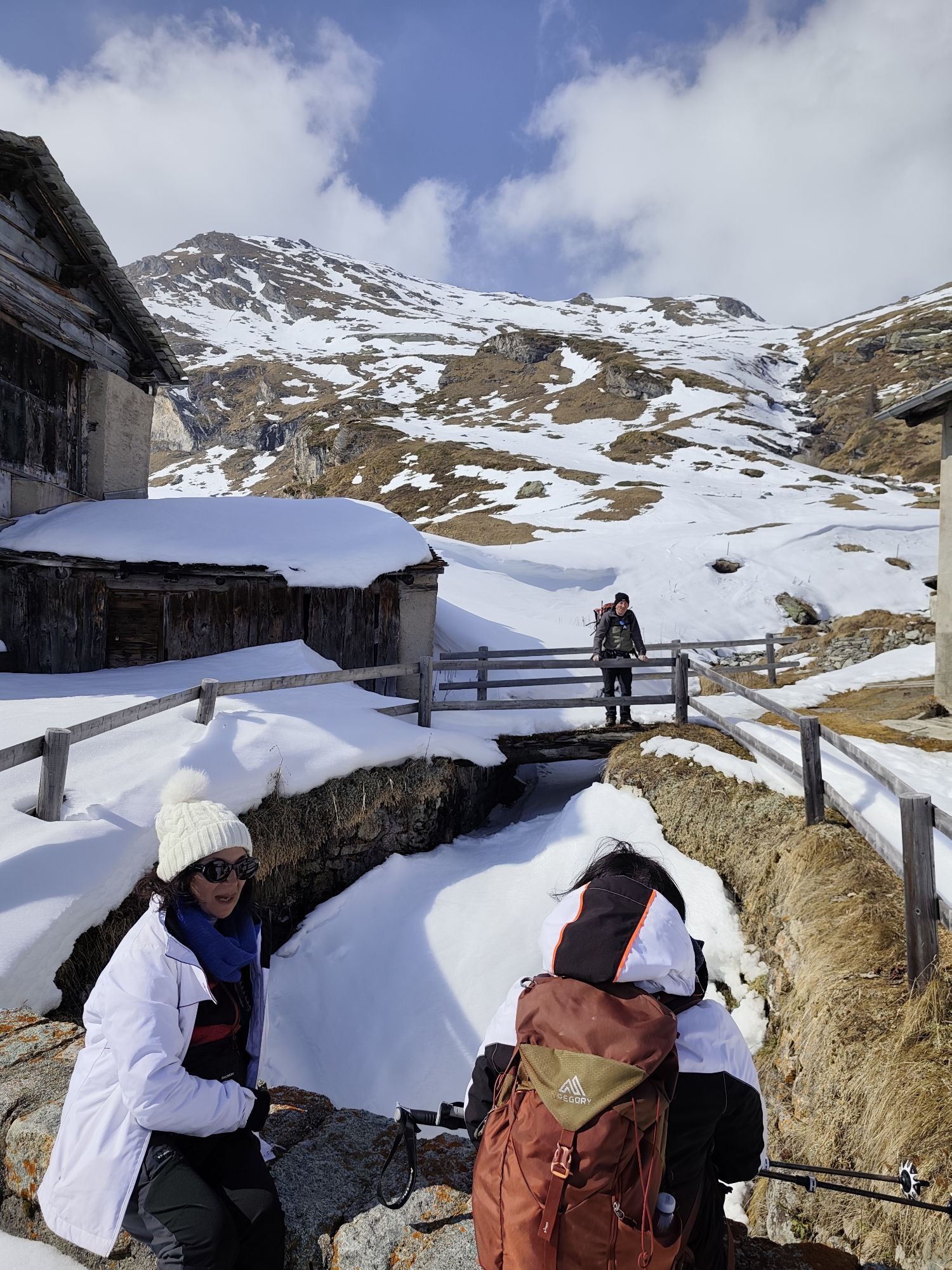
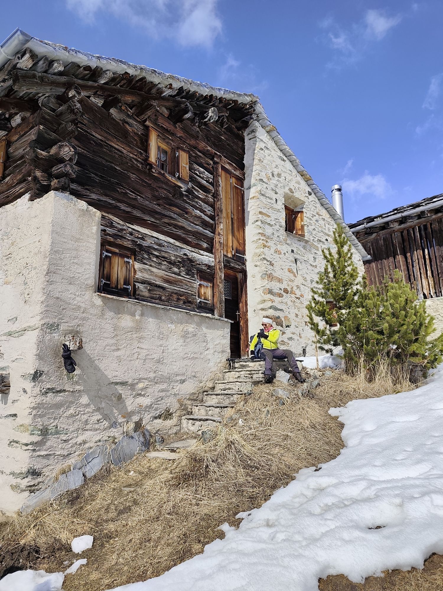
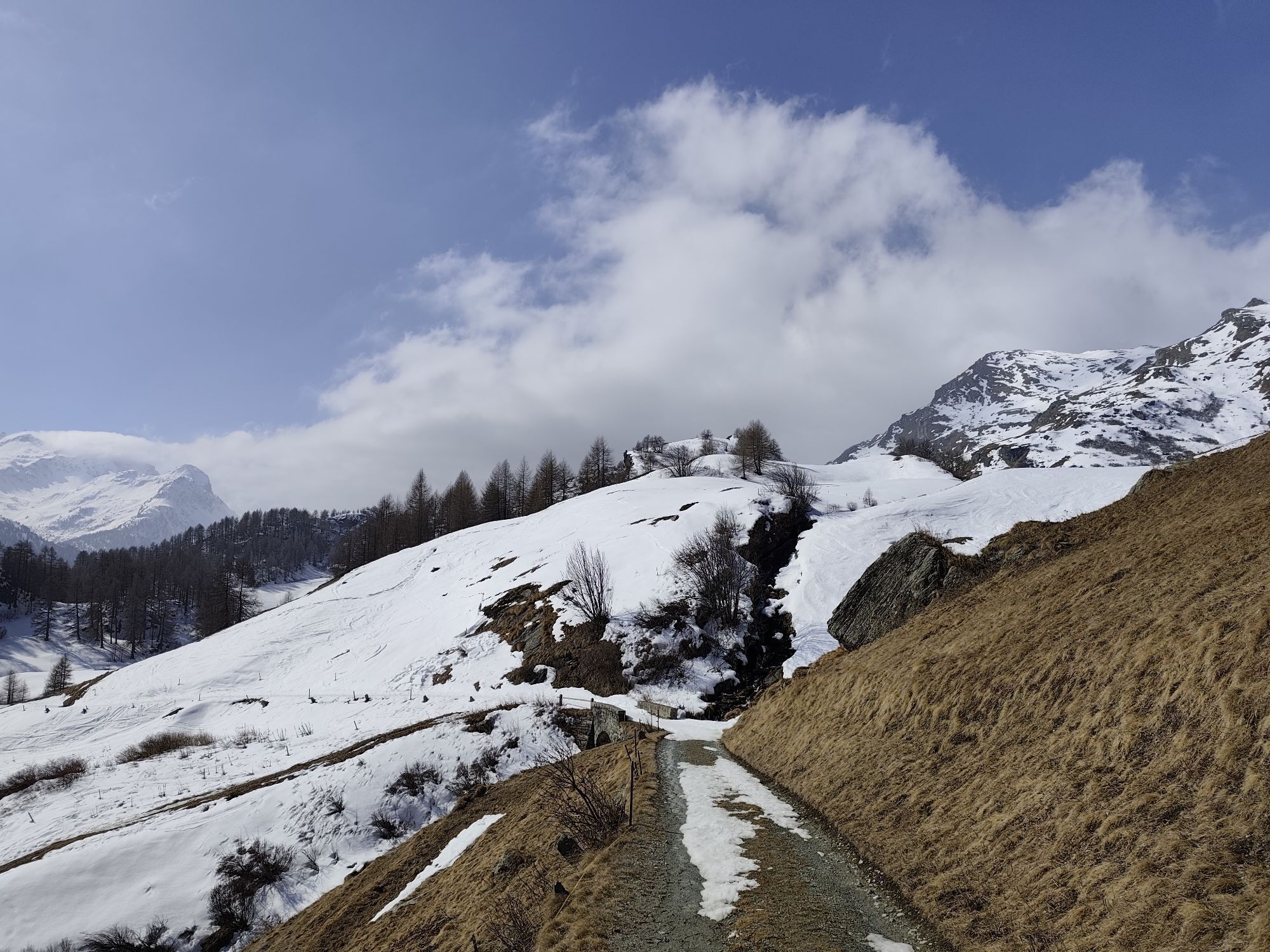
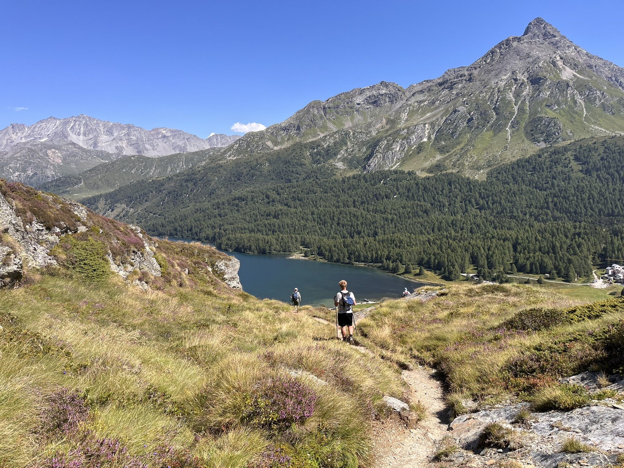
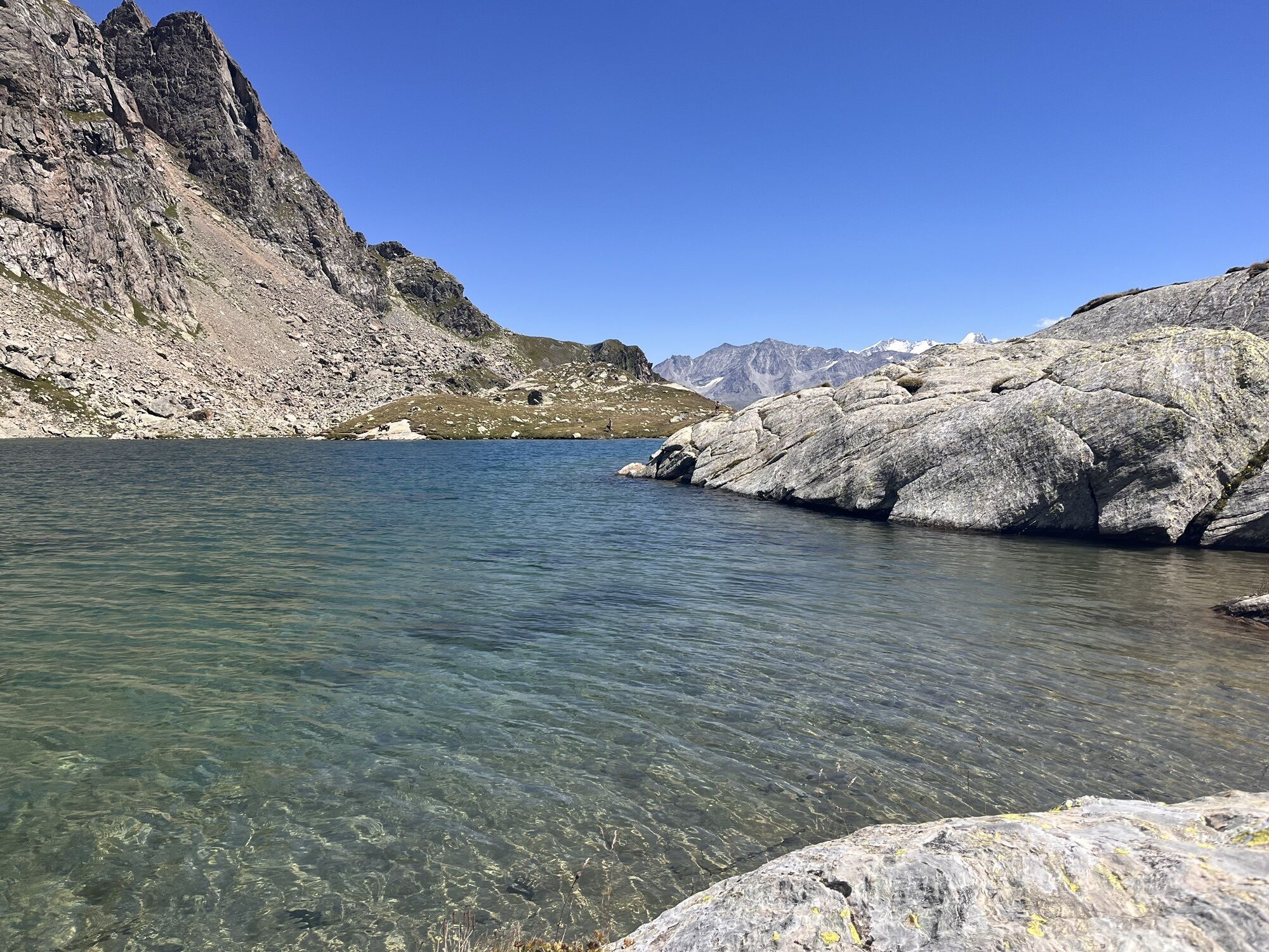
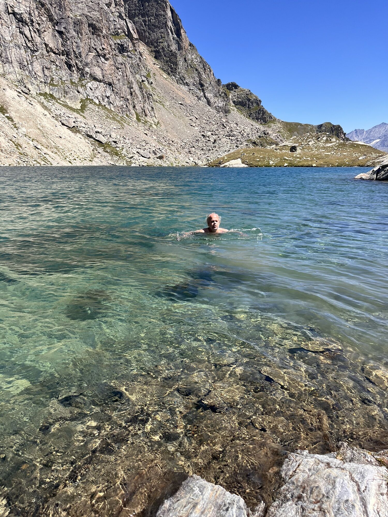
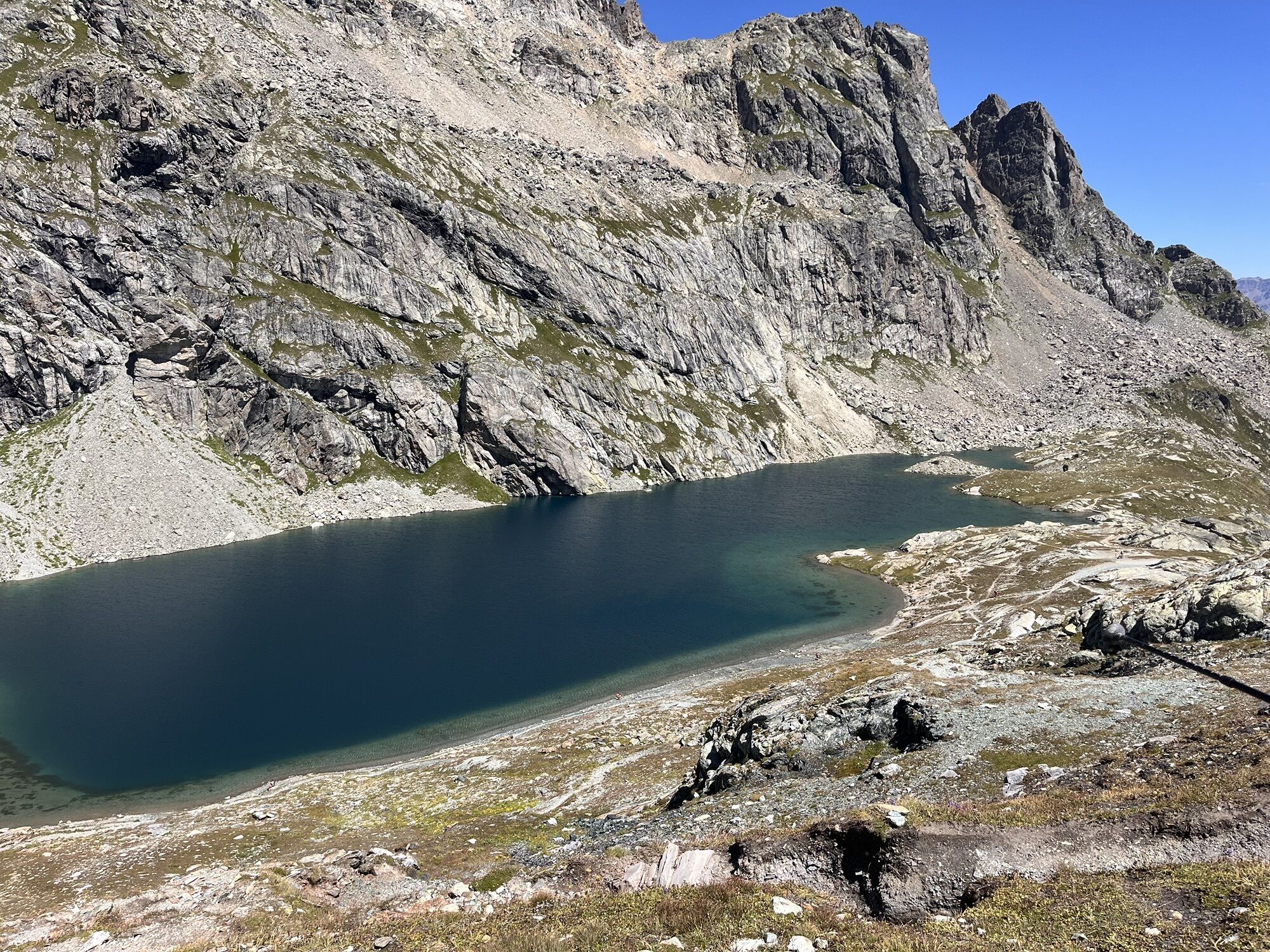
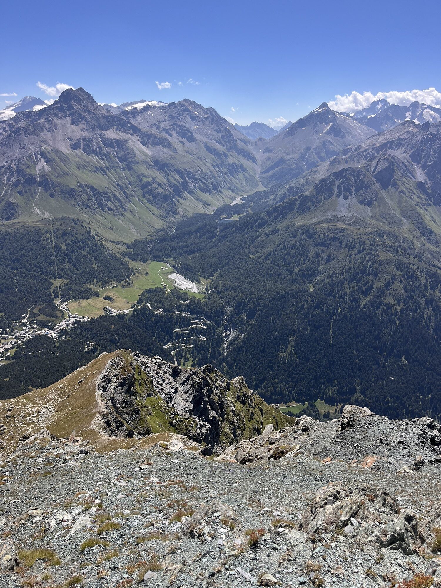
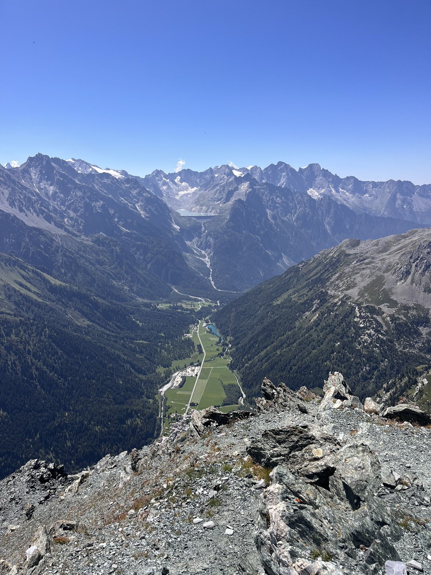
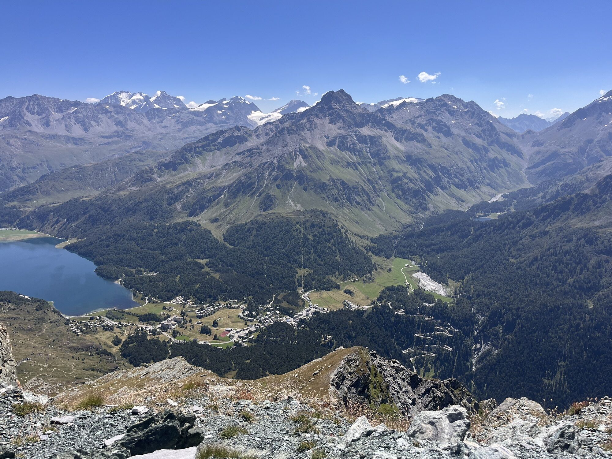
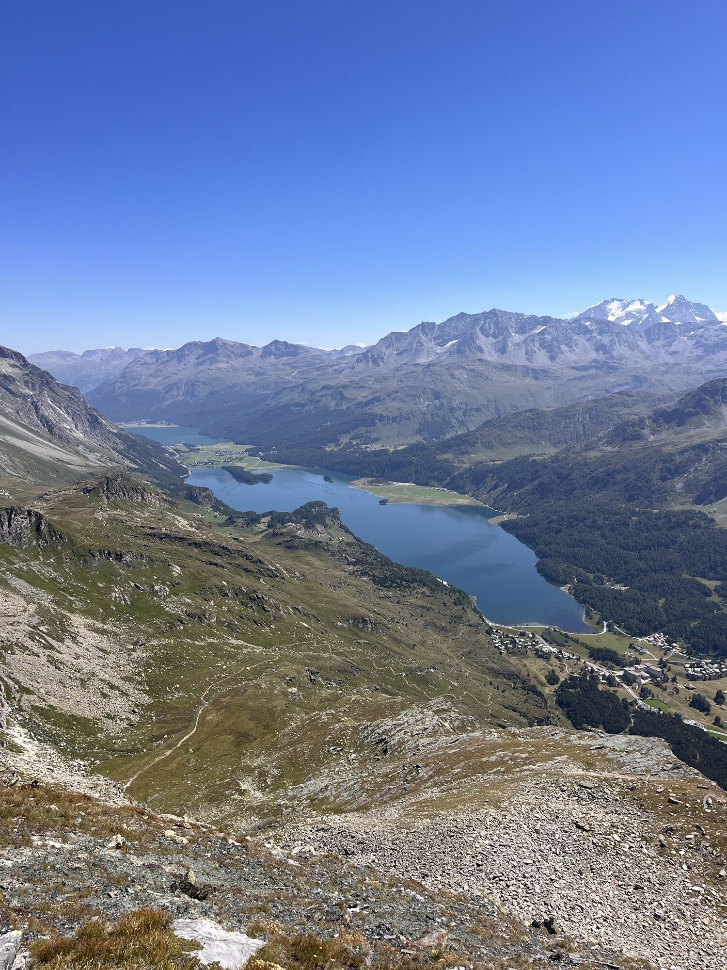
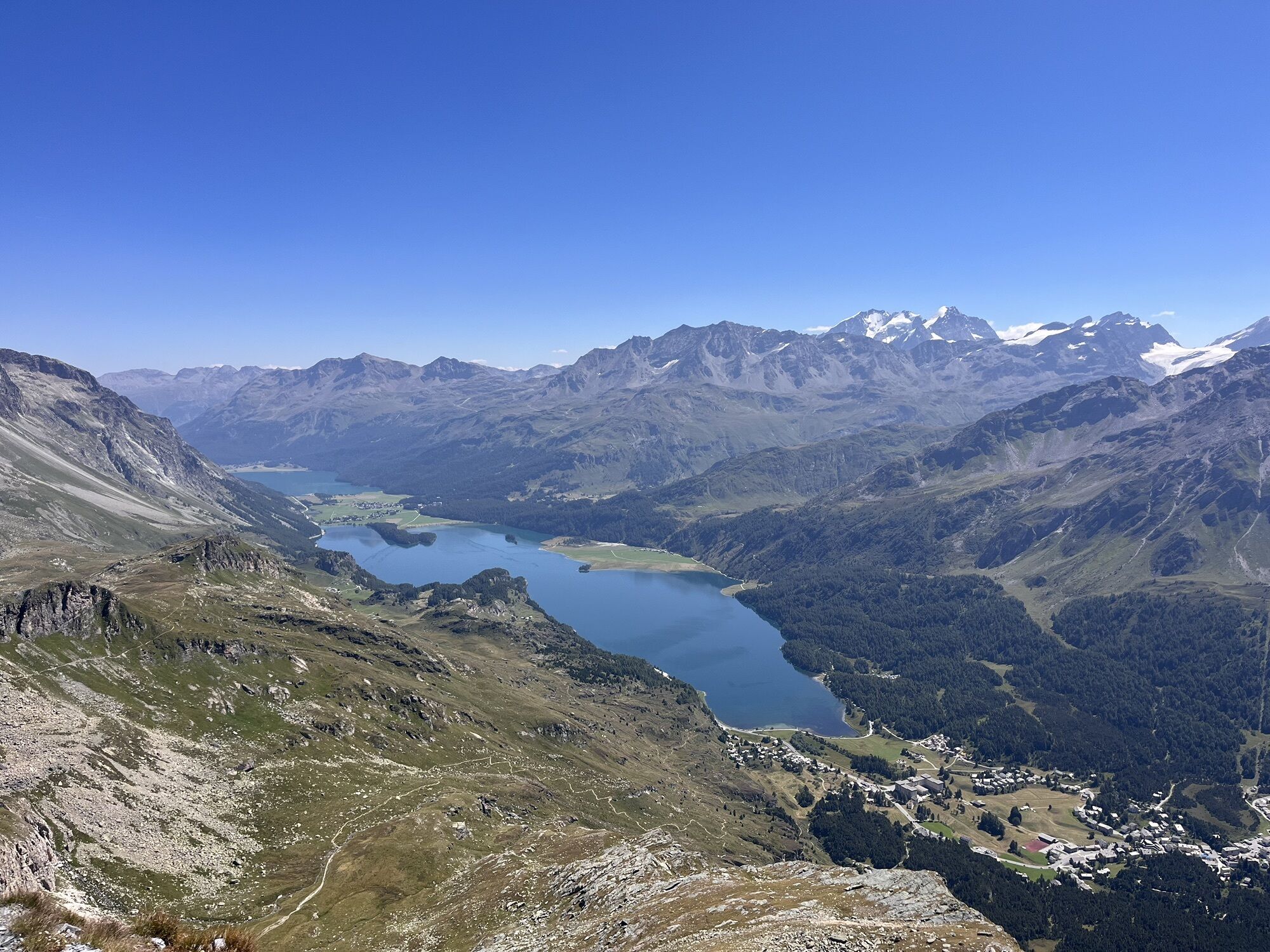
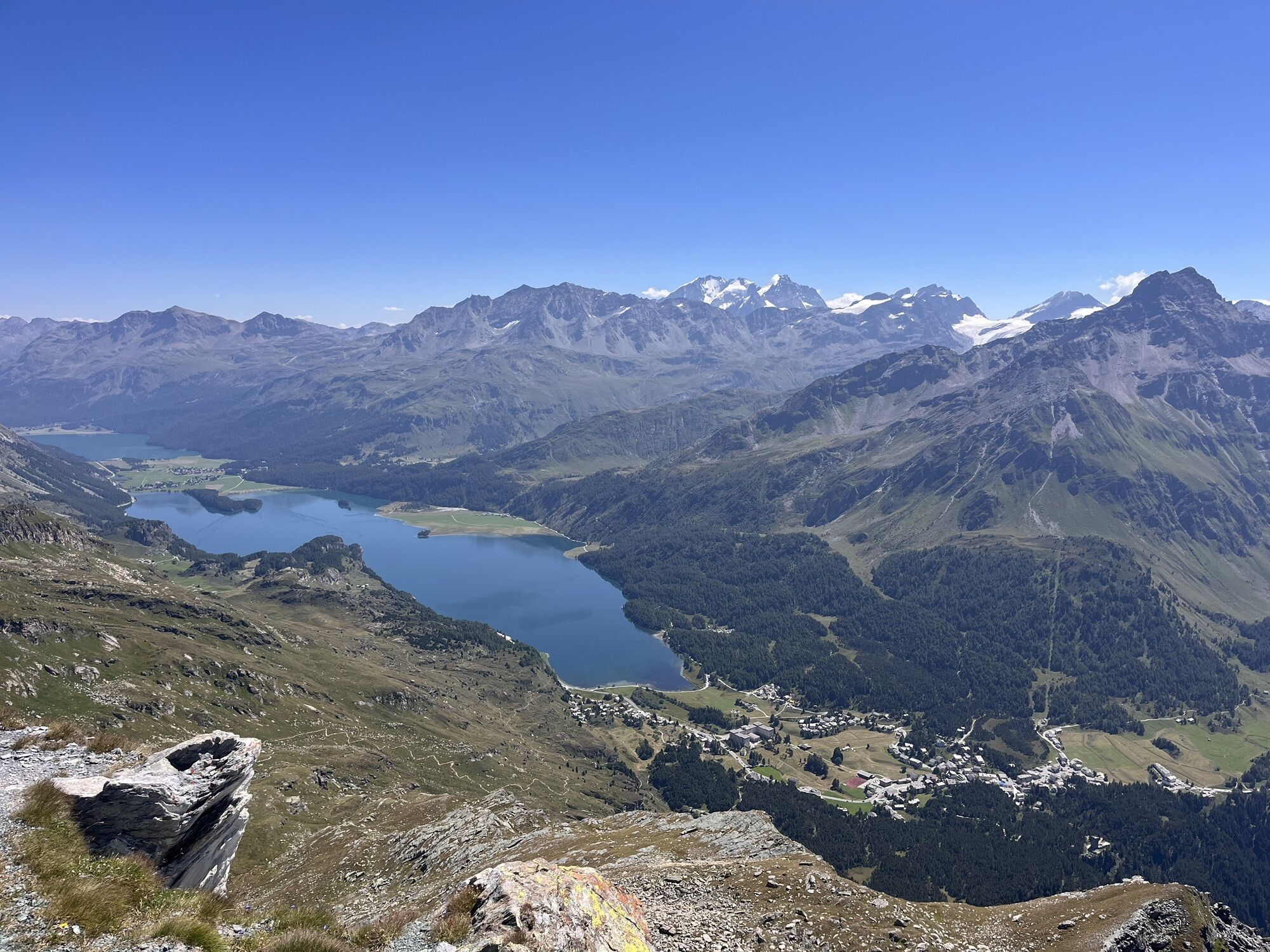
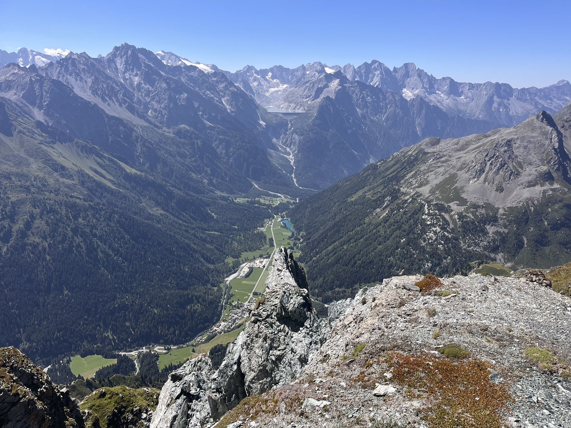
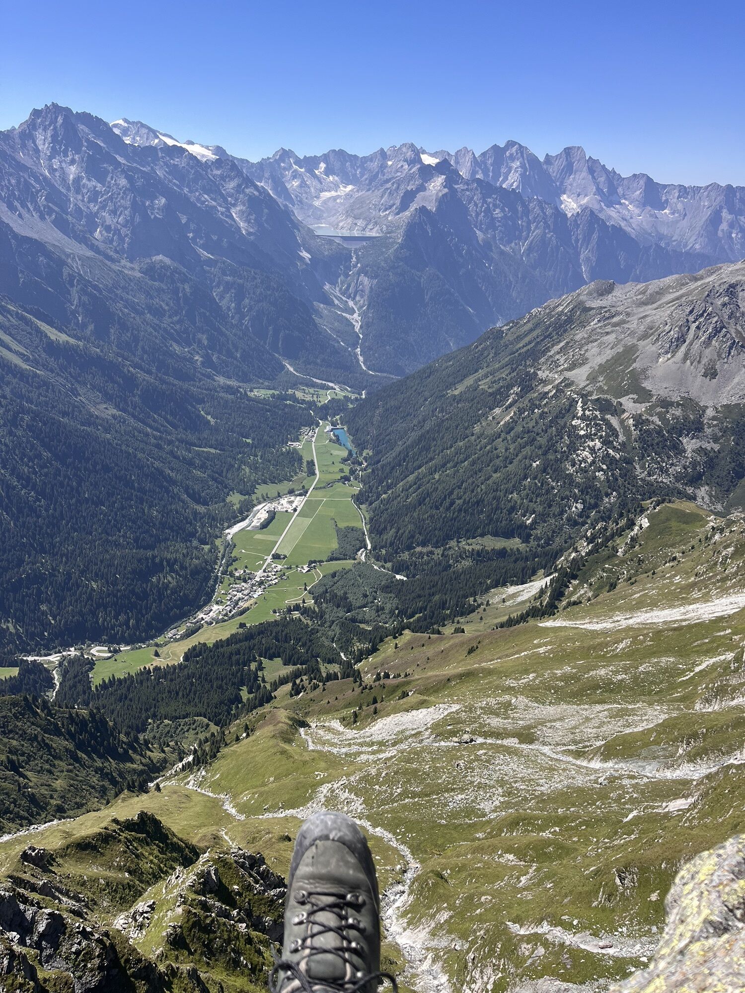
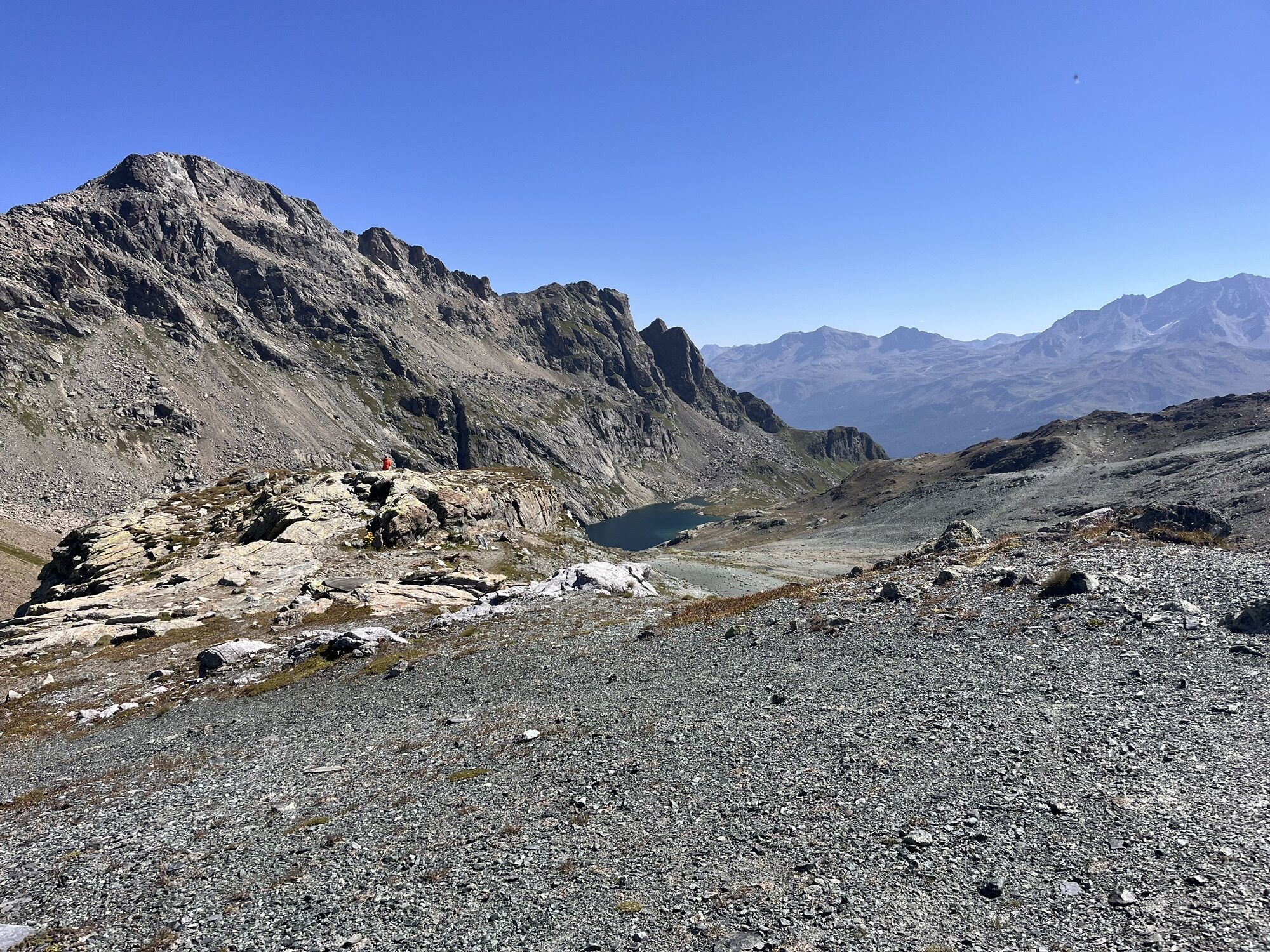
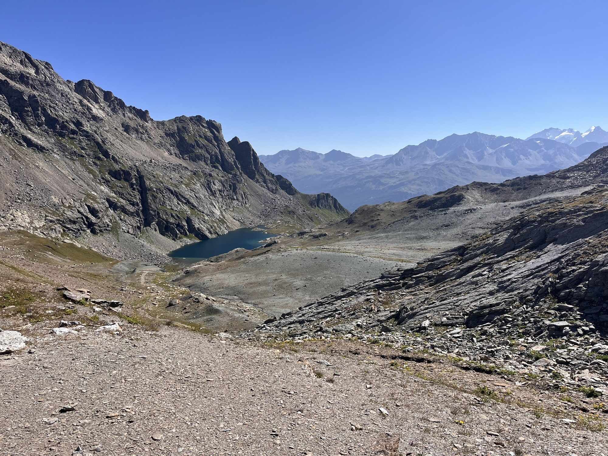
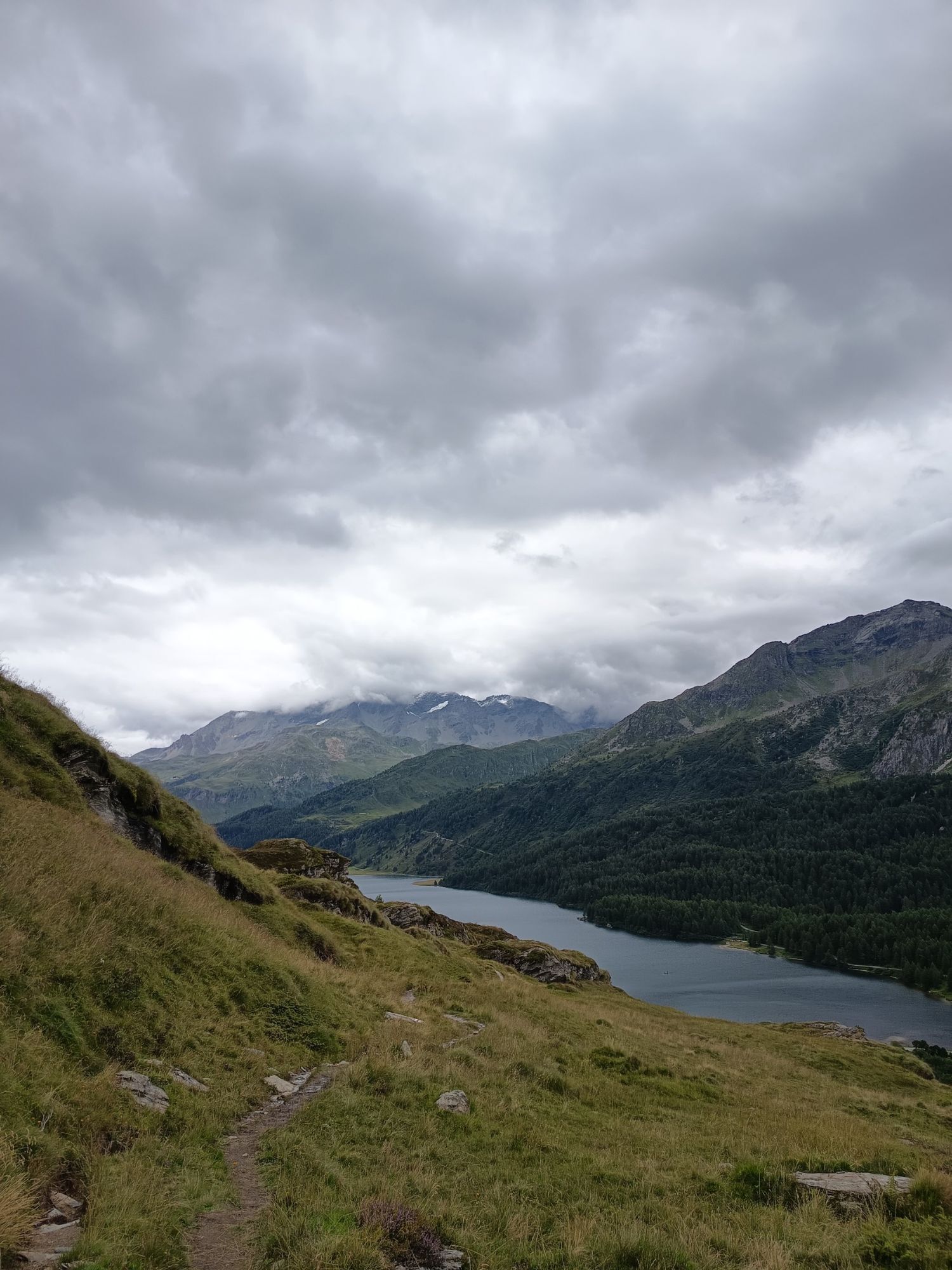
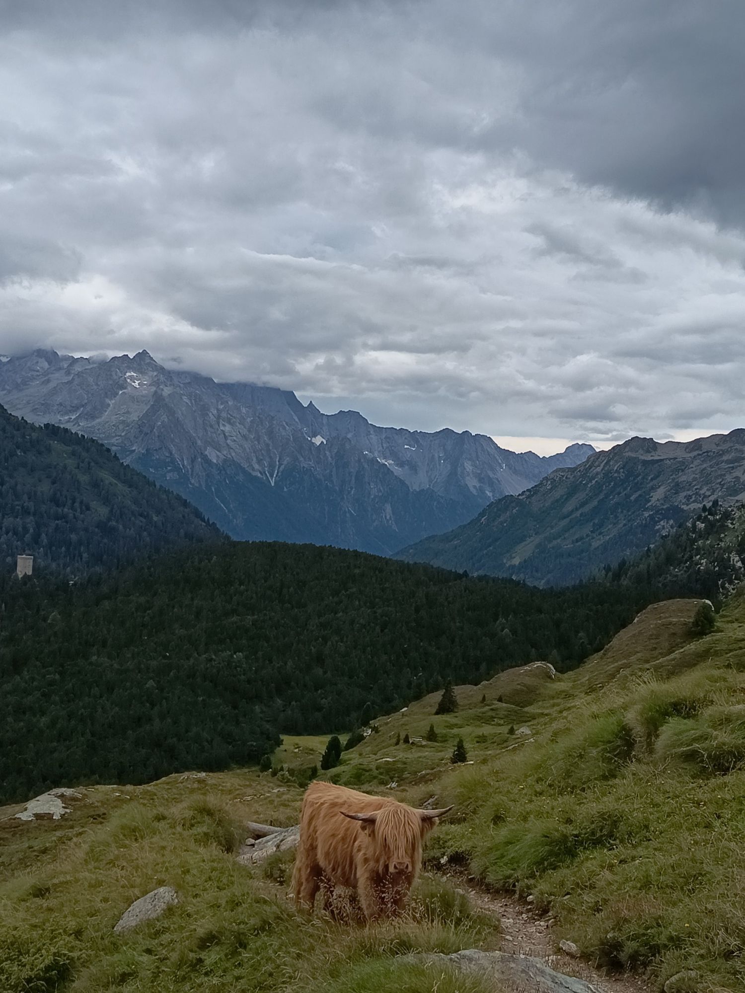
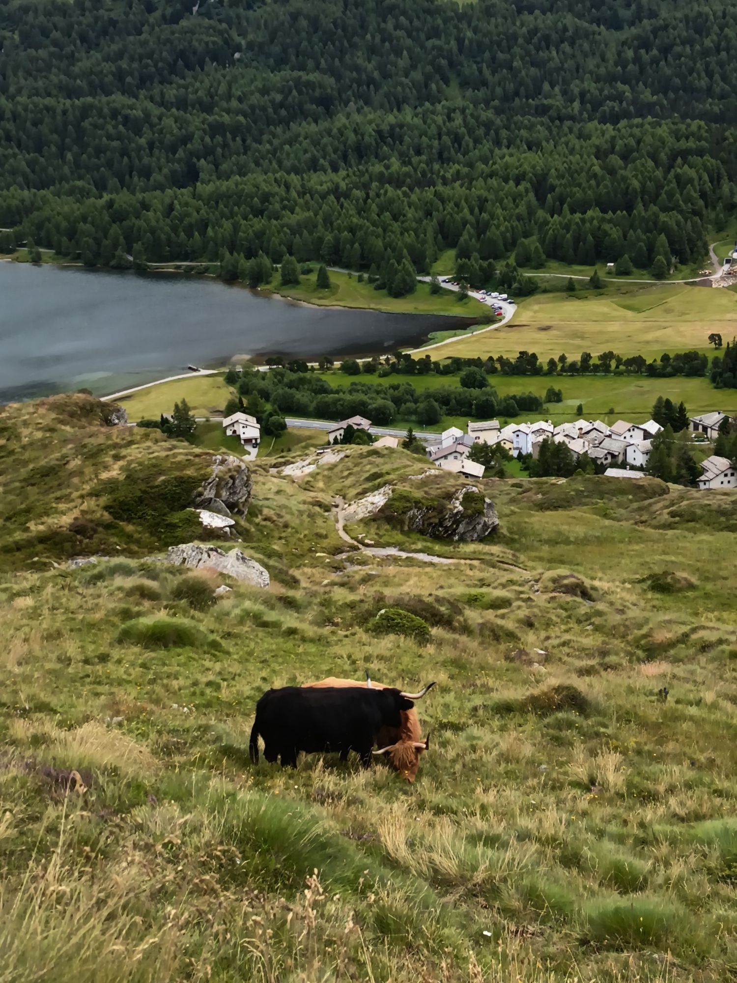
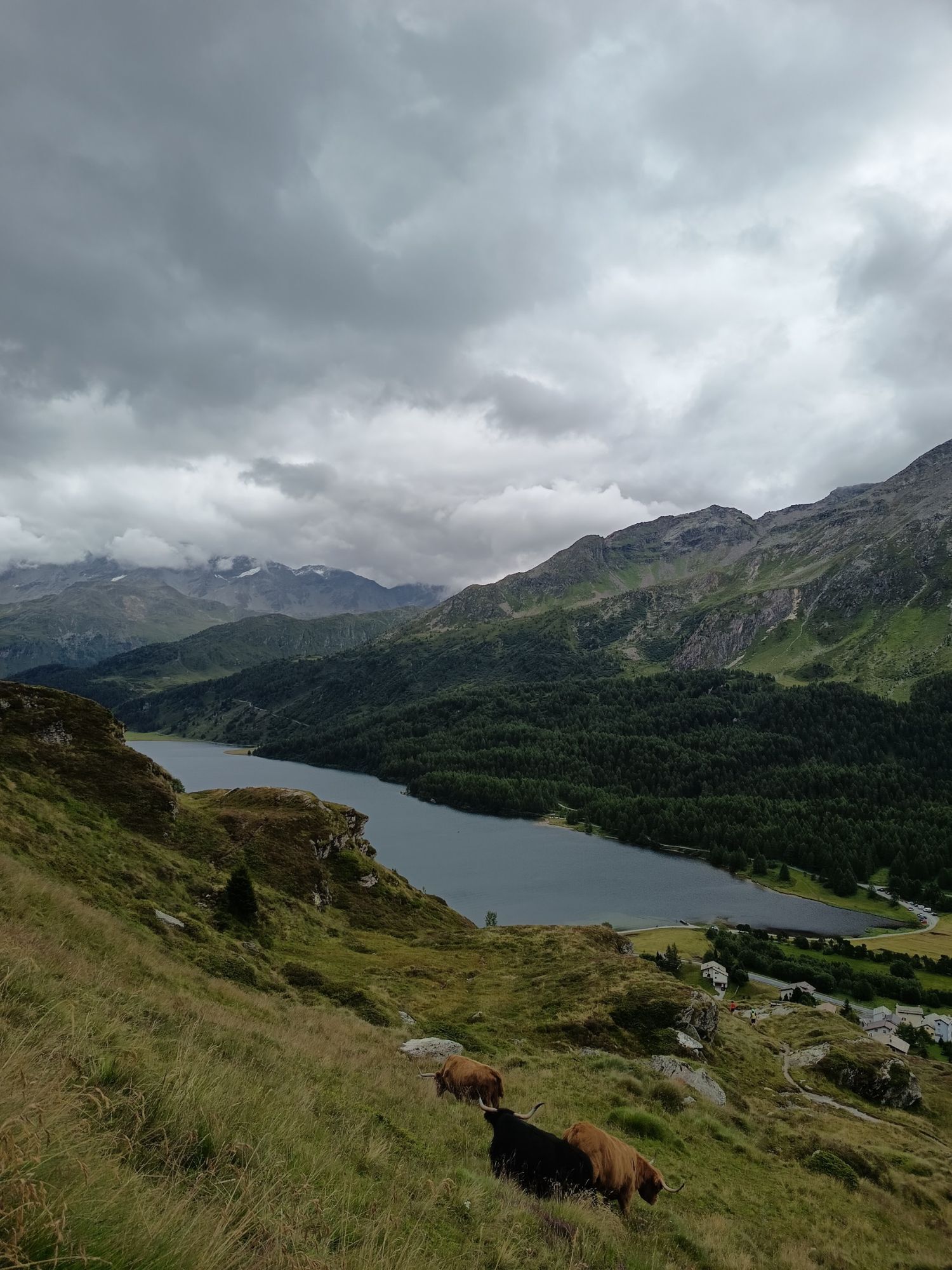
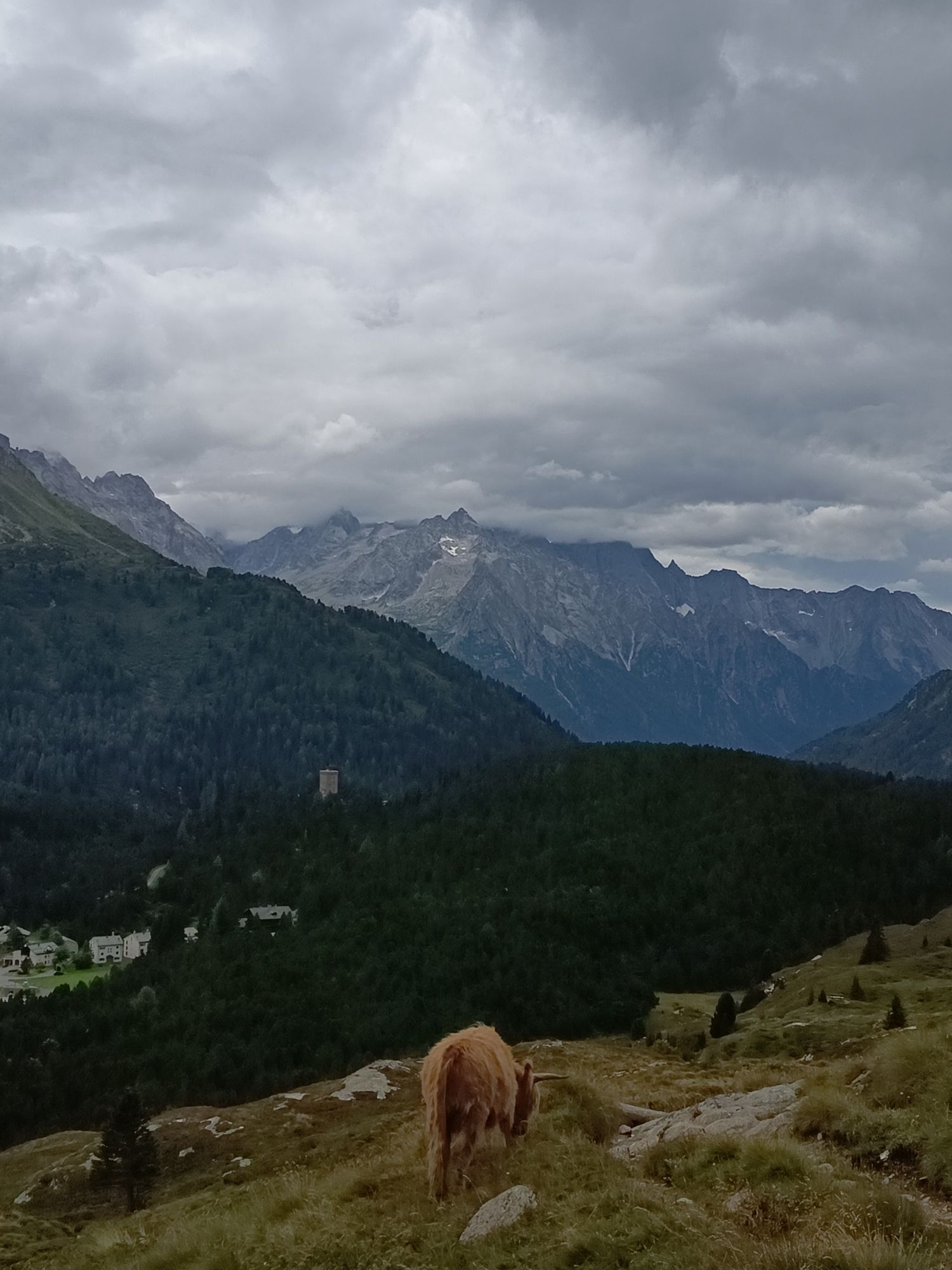
From Bivio, the route goes on an old Roman road to the Septimer Pass. From this pass, the path climbs up to the Lunghin Pass and the rocky summit of Piz Lunghin (2780m). The path is quite smooth and very...
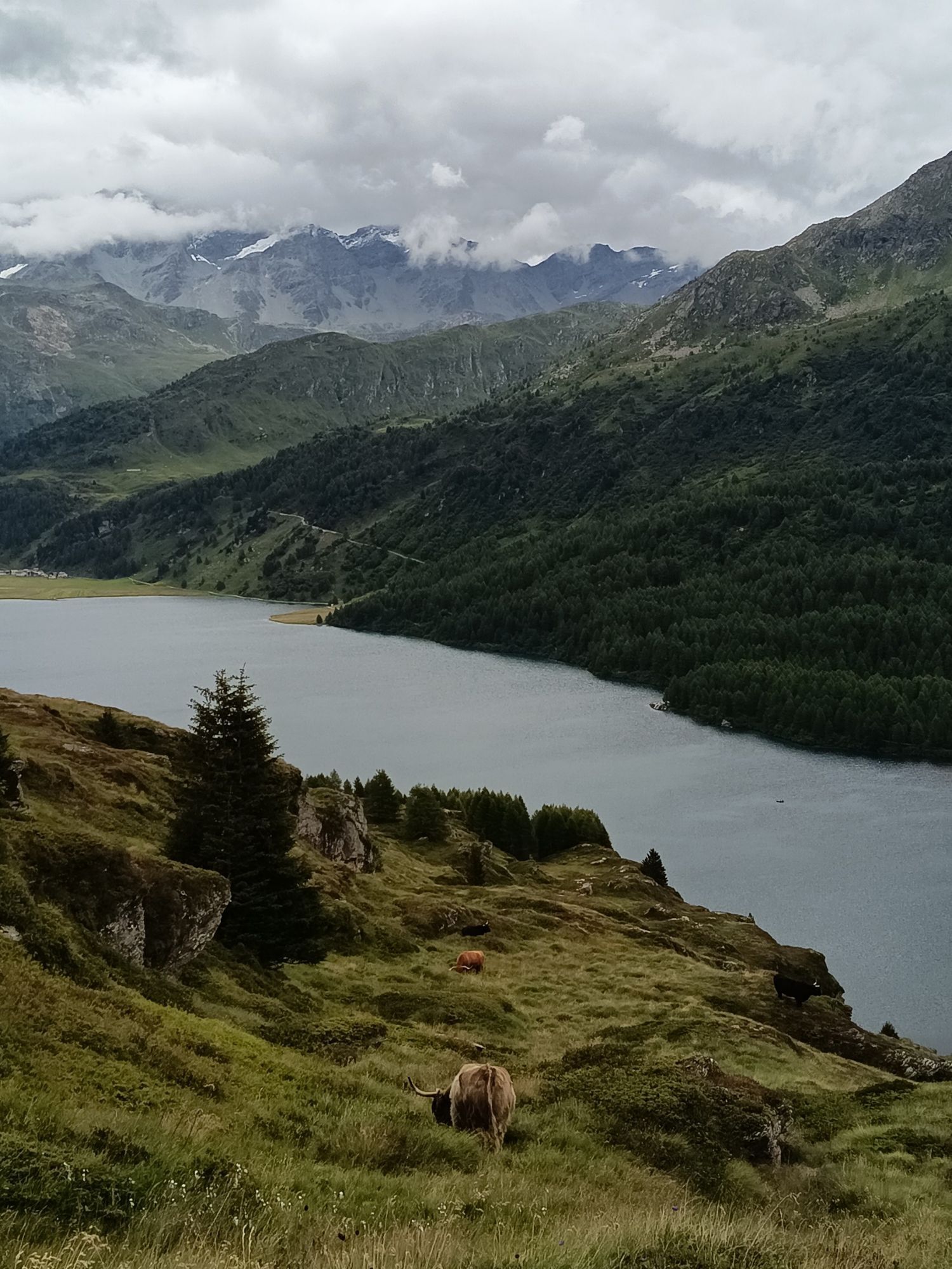
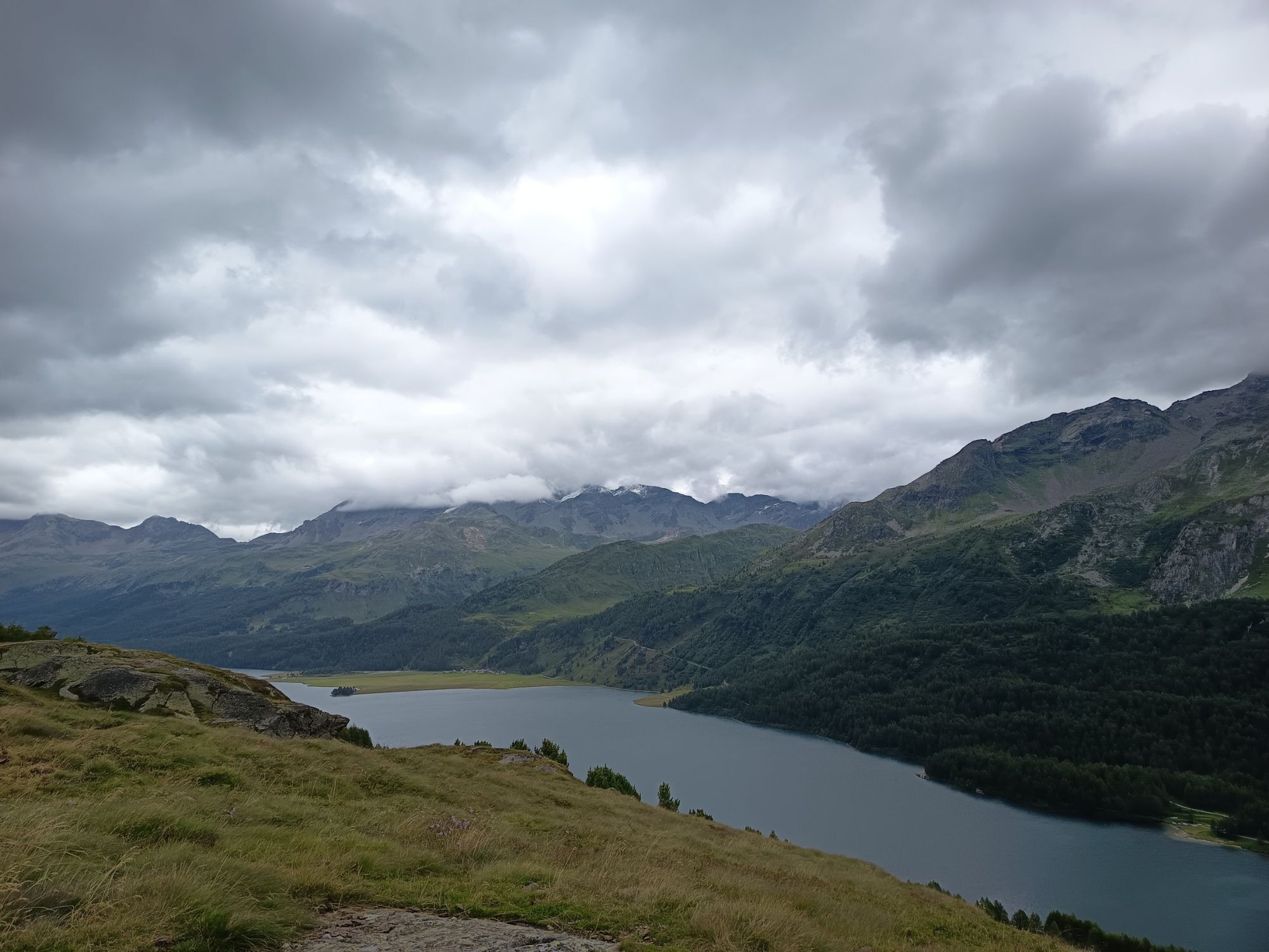
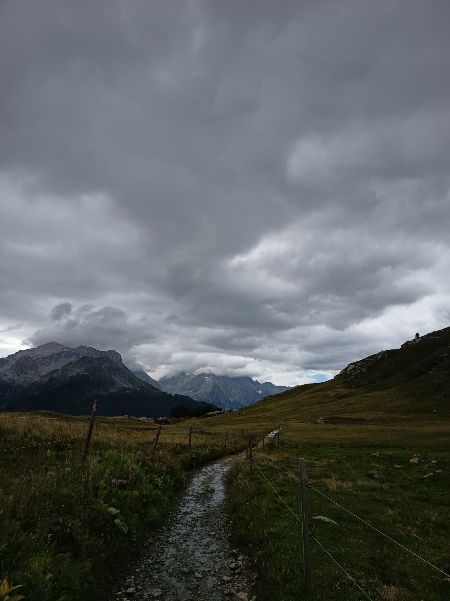
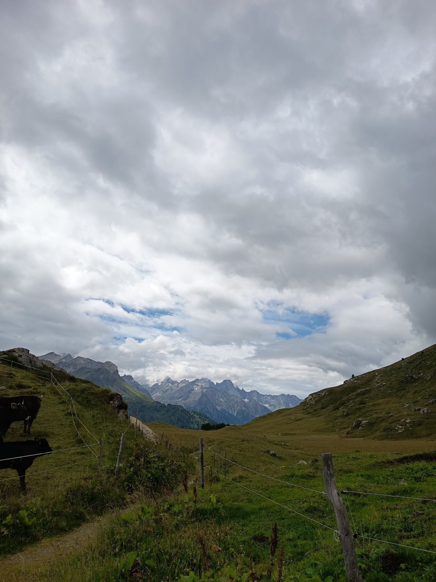
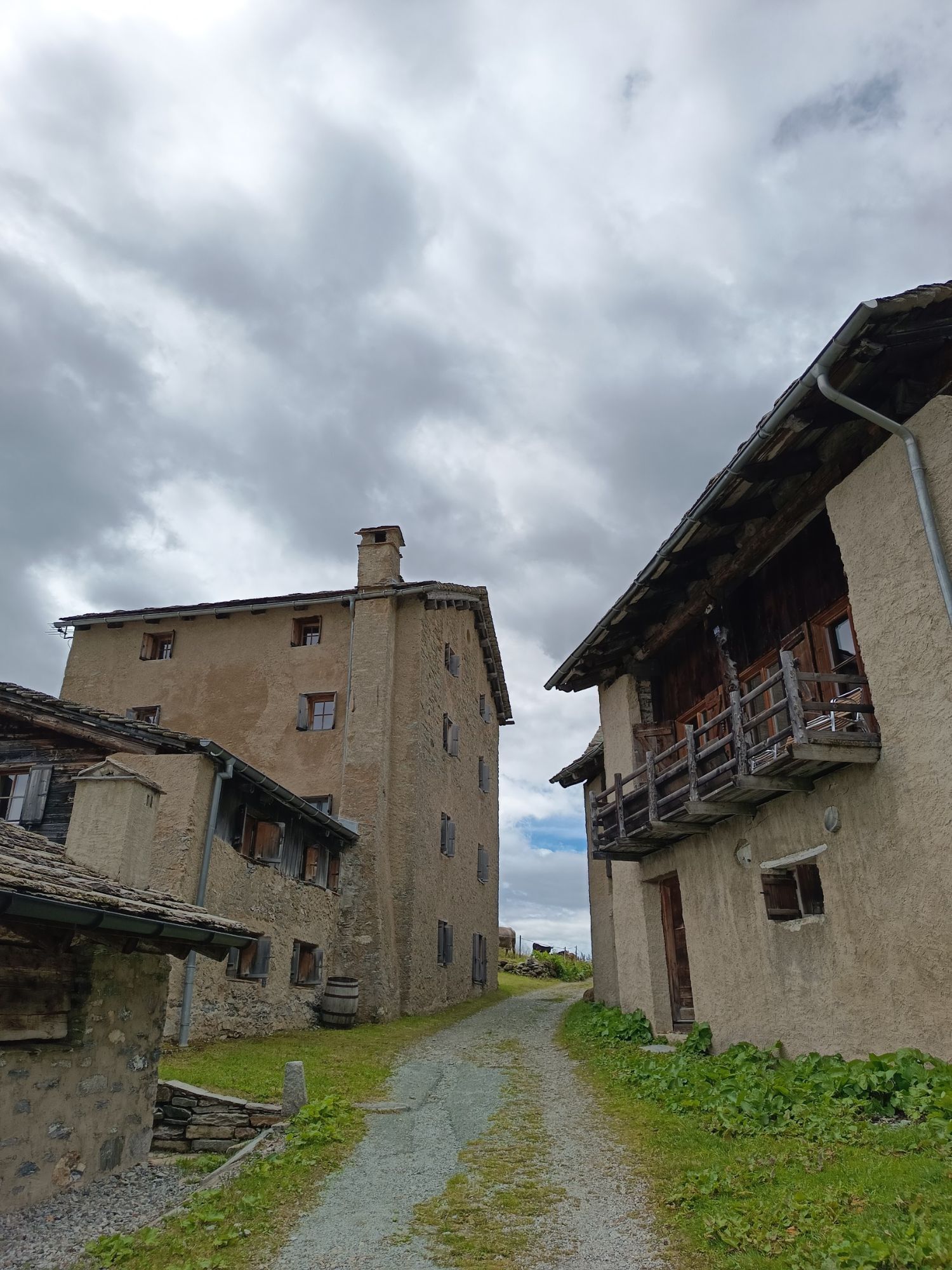
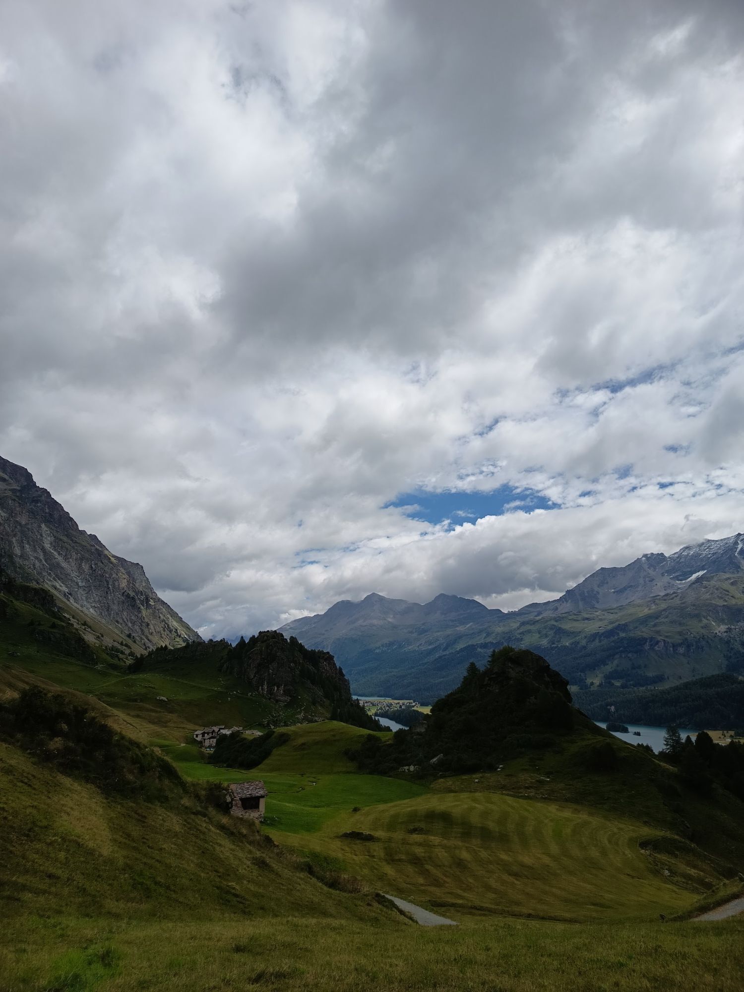
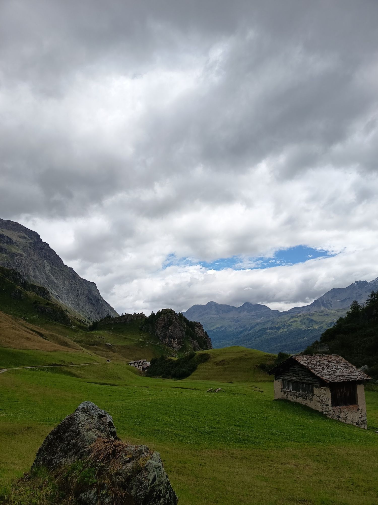
From Bivio, the route goes on an old Roman road to the Septimer Pass. From this pass, the path climbs up to the Lunghin Pass and the rocky summit of Piz Lunghin (2780m). The path is quite smooth and very steep from the pass down to the lake, surefootedness and a head for heights are required. After several switchbacks downhill, the path leads along the Via Engadina through the well-preserved hamlets of Blaunca and Grevasalvas. After a short ascent at Grevasalvas, the path gently descends through larch forests to Sils Maria, nestled between the shimmering waters of Lakes Sils and Silvaplana.
Further information
Engadin Tourismus AG
Via Maistra 1
CH-7500 St. Moritz
Telephone: +41 81 830 00 01
E-mail: allegra@engadin.ch
Internet: www.engadin.ch
Booking
Eurotrek AG
Zürcherstrasse 42
CH-8103 Unterengstringen
Telephone: +41 44 316 10 00
E-mail: eurotrek@eurotrek.ch
Internet: www.eurotrek.ch/Via_Grischuna

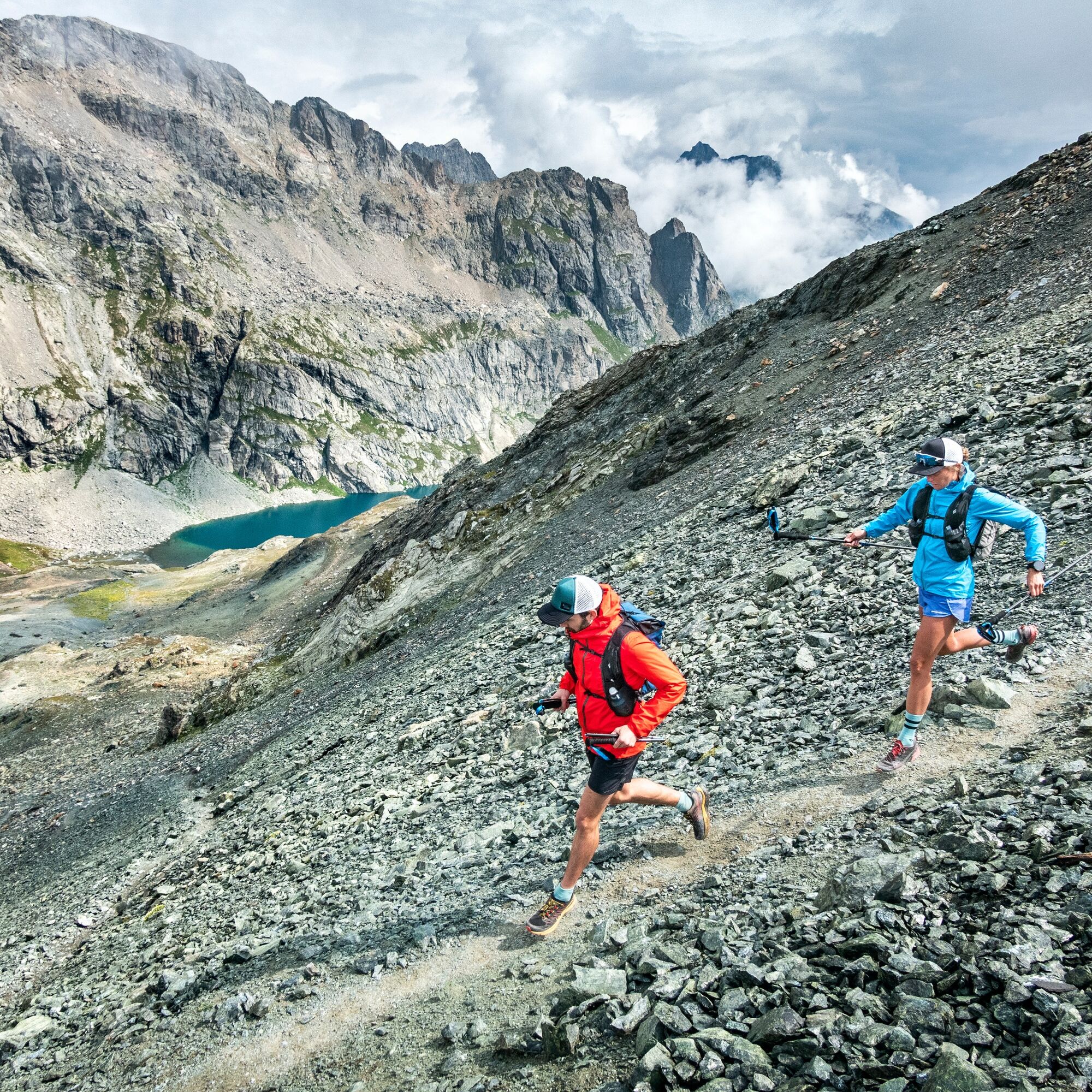
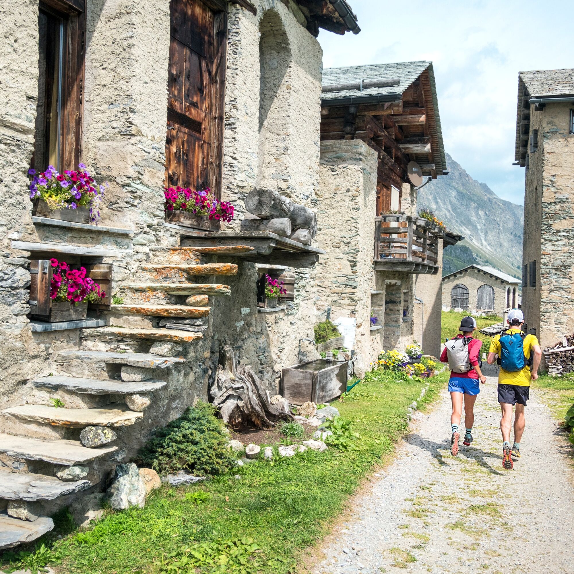
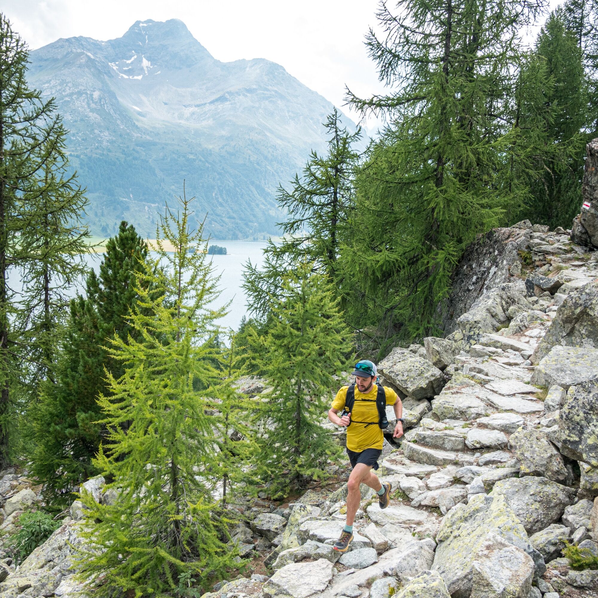
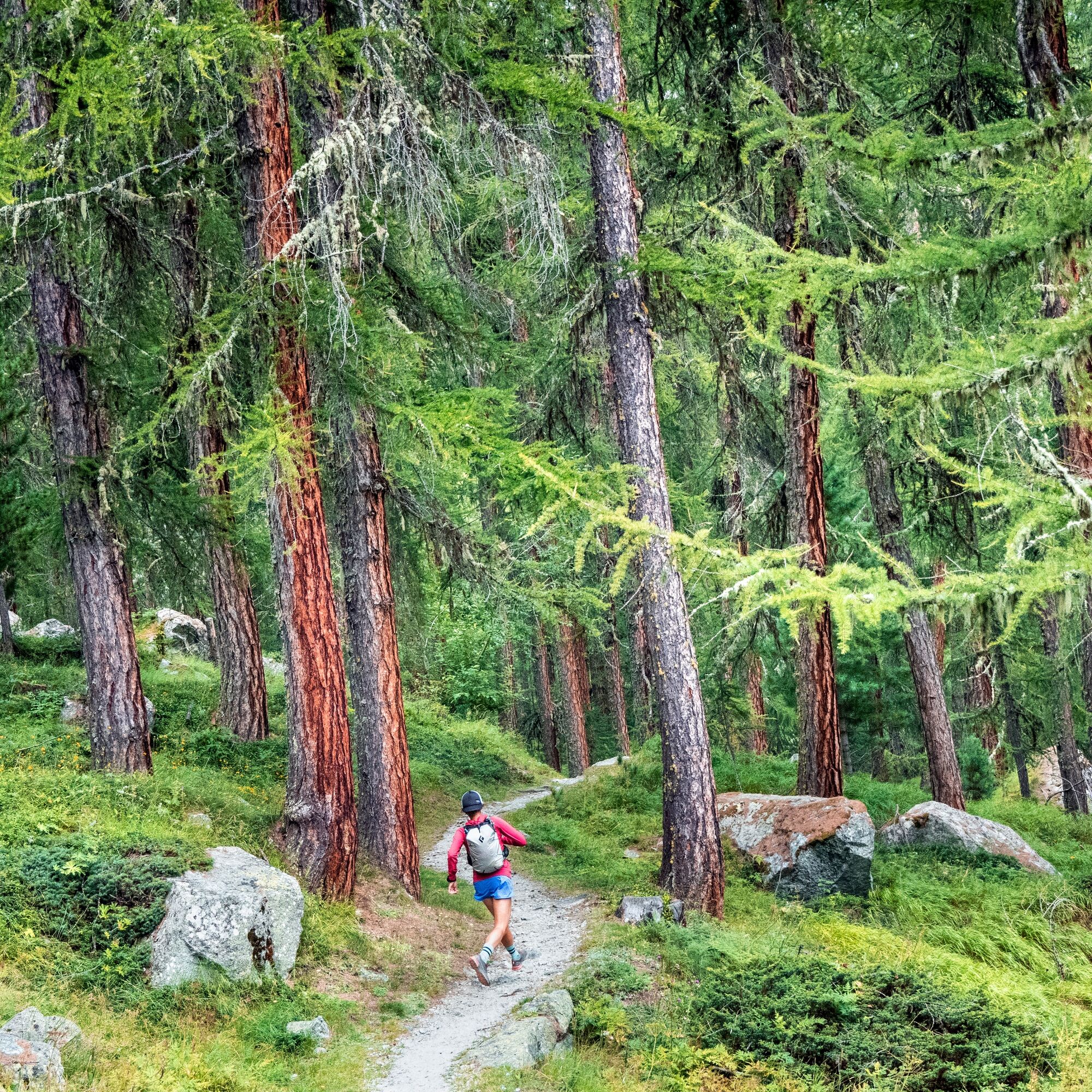

Bivio - Septimer Pass - Lunghin Pass - Piz Lunghin - Plan di Zoch - Blaunca - Grevasalvas - Sils Maria
Ano
At the Lunghin Pass is a triple watershed: the Inn, which flows through the Engadin and then with the Danube into the Black Sea, the Julia, which flows with the Rhine into the North Sea, and the Maira, which flows with the Po into the Adriatic Sea.
Webové kamery z prohlídky
-
Silvaplana - Restaurant Mulets
-
Silvaplana - Mittelstation Murtèl
-
Silvaplana - Mittelstation Murtèl
-
Silvaplana - Mittelstation Murtèl
-
Silvaplana - Mittelstation Murtèl
-
Silvaplana - Mittelstation Murtèl
-
Maloja Palace
-
Aela
-
Casaccia
-
Silvana - Alpetta Hütta
-
Alpetta Hütta, Corvatsch
-
Corvatsch - Hossa Bar
-
Silvaplana - Hossa Bar
Získejte přehled
Vždy živě na místě s více než 9 500 webkamerami. bergfex Jako uživatel Pro si nyní můžete zobrazit odpovídající webové kamery pro mnoho prohlídek v aplikaci prohlídky z. Můžete si tak přímo prohlédnout aktuální podmínky.
Oblíbené prohlídky v okolí
-
4.9
Maloja - Motta Salacina - Lägh da Cavloc - Maloja
středníTuristika 10.3 km -
4.5
Pontresina - Val Roseg - Pontresina
světloTuristika 13.8 km -
4.0
Mittelstation Murtèl – Fuorcla Surlej – Val Roseg – Pontresina
středníTuristika 23.5 km -
4.8
Corvatsch Murtèl - Fuorcla Surlej
středníTuristika 4.52 km -
5.0
Maloja-Piz Lunghin-Pass Lunghin-See Lunghin- Blaunca- Maloja
středníTuristika 15.5 km -
4.8
Val Roseg - Tschierva Hut
středníTuristika 5.12 km -
4.0
721 Senda Ils Lejins Sils/Furtschellas
středníTuristika 6.02 km -
5.0
Sils - Lej da la Tscheppa - Sils
středníTuristika 11.4 km -
3.0
Pontresina - Val Roseg - Pontresina
světloMountainbike 13.8 km -
3.6
Maloja - Cavloccio - Orden d'Ent - Orden
středníTuristika 7.78 km
Pěší turistika a stopování


Nenechte si ujít nabídky a inspiraci pro vaši příští dovolenou
Vaše e-mailová adresa byl přidán do poštovního seznamu.





