







Albula Railway Adventure Trail

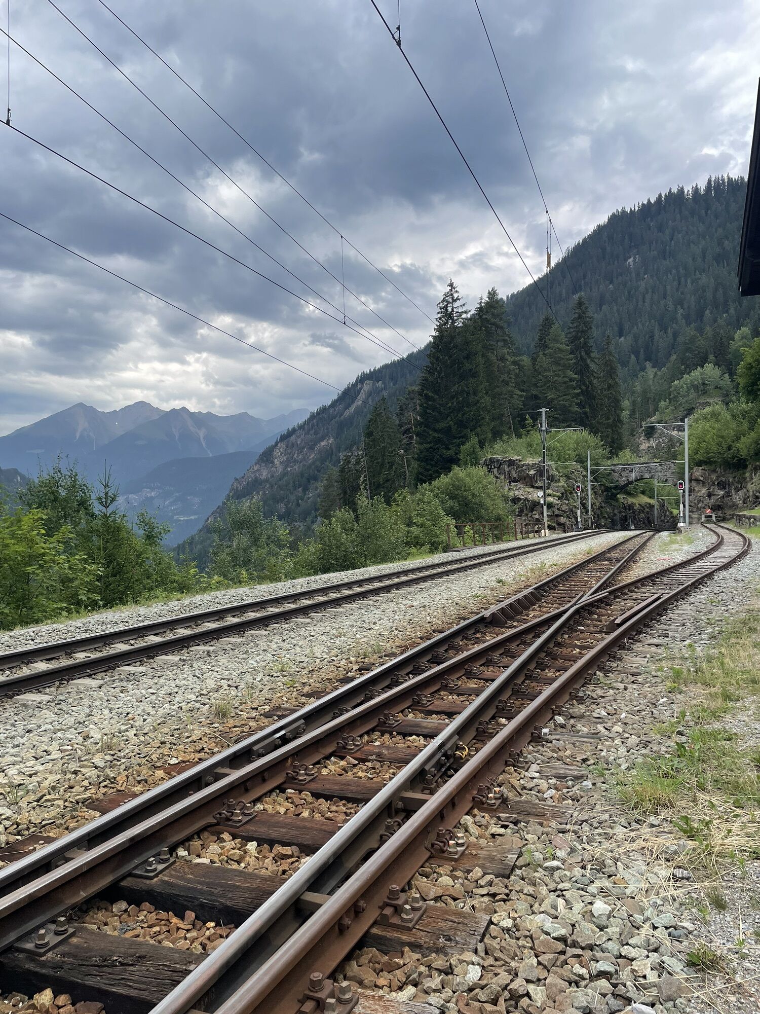
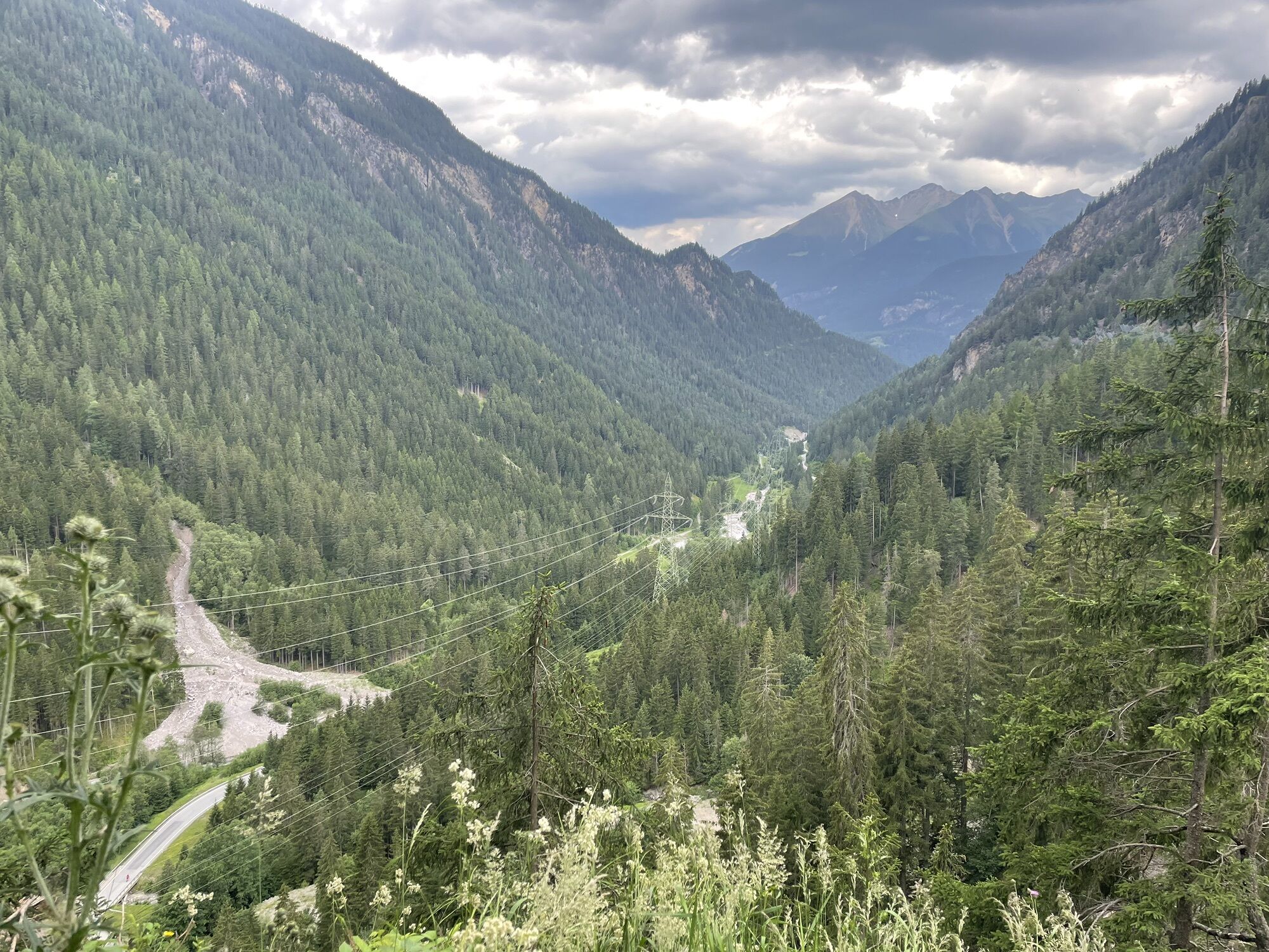
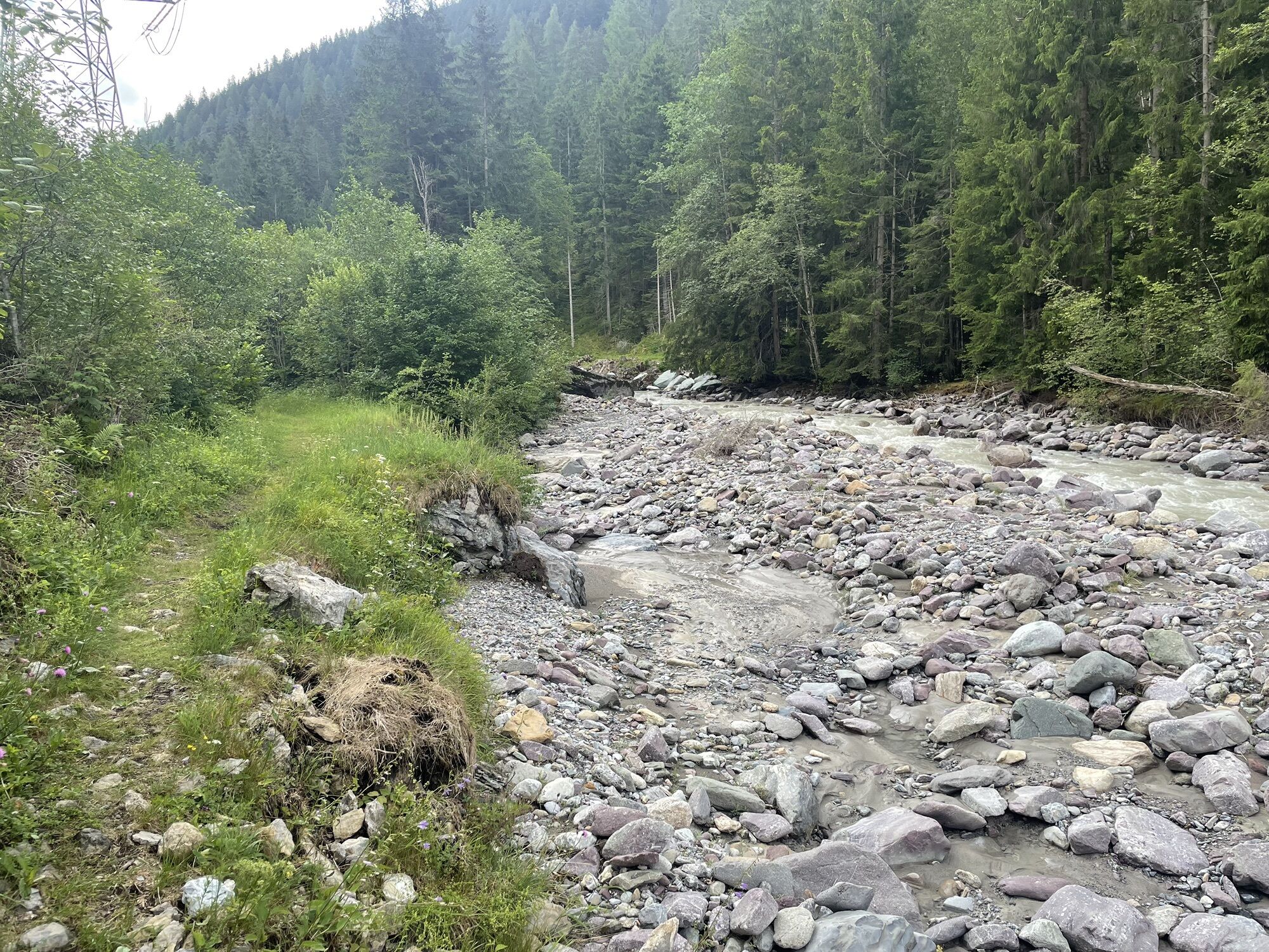
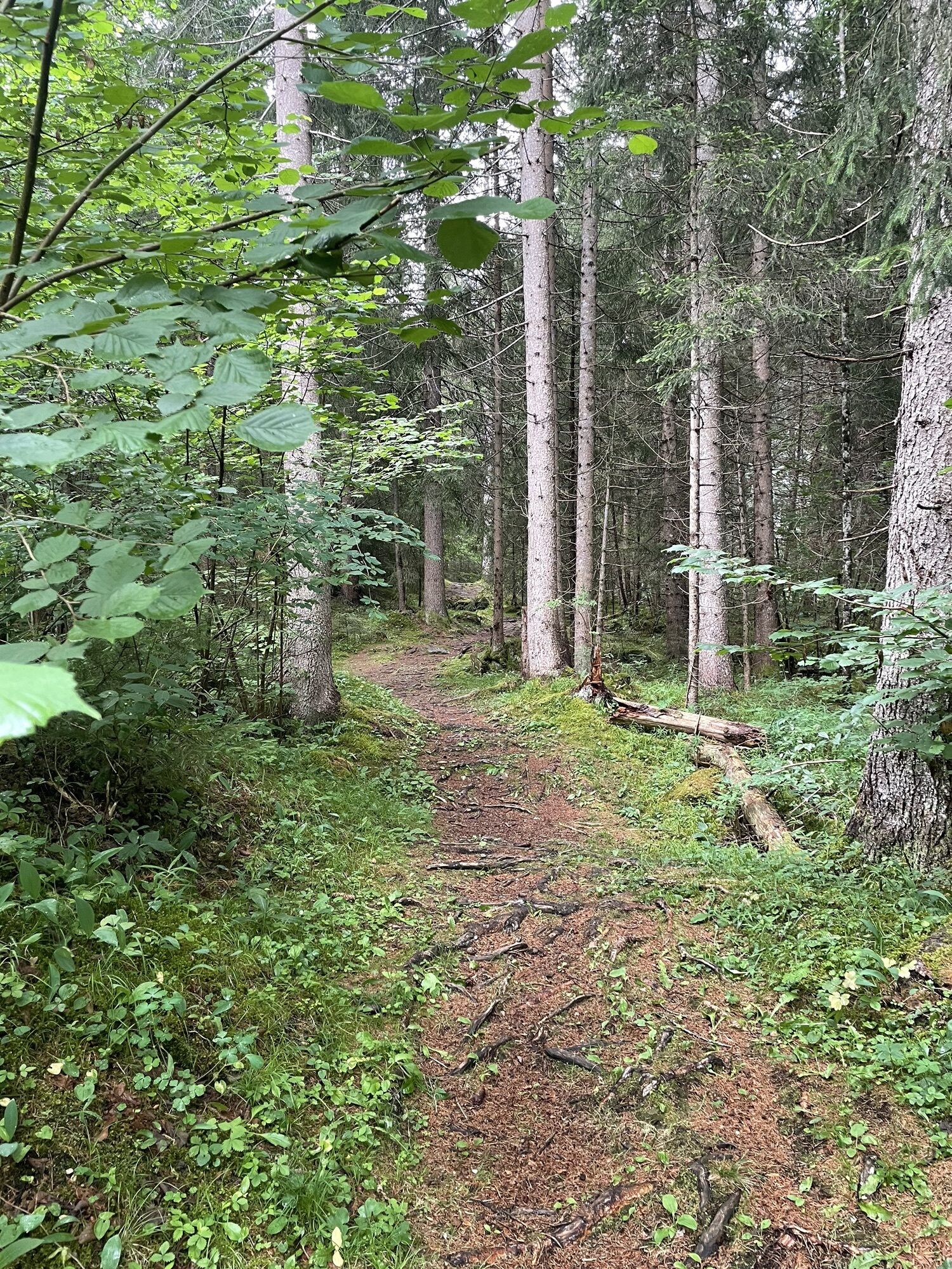
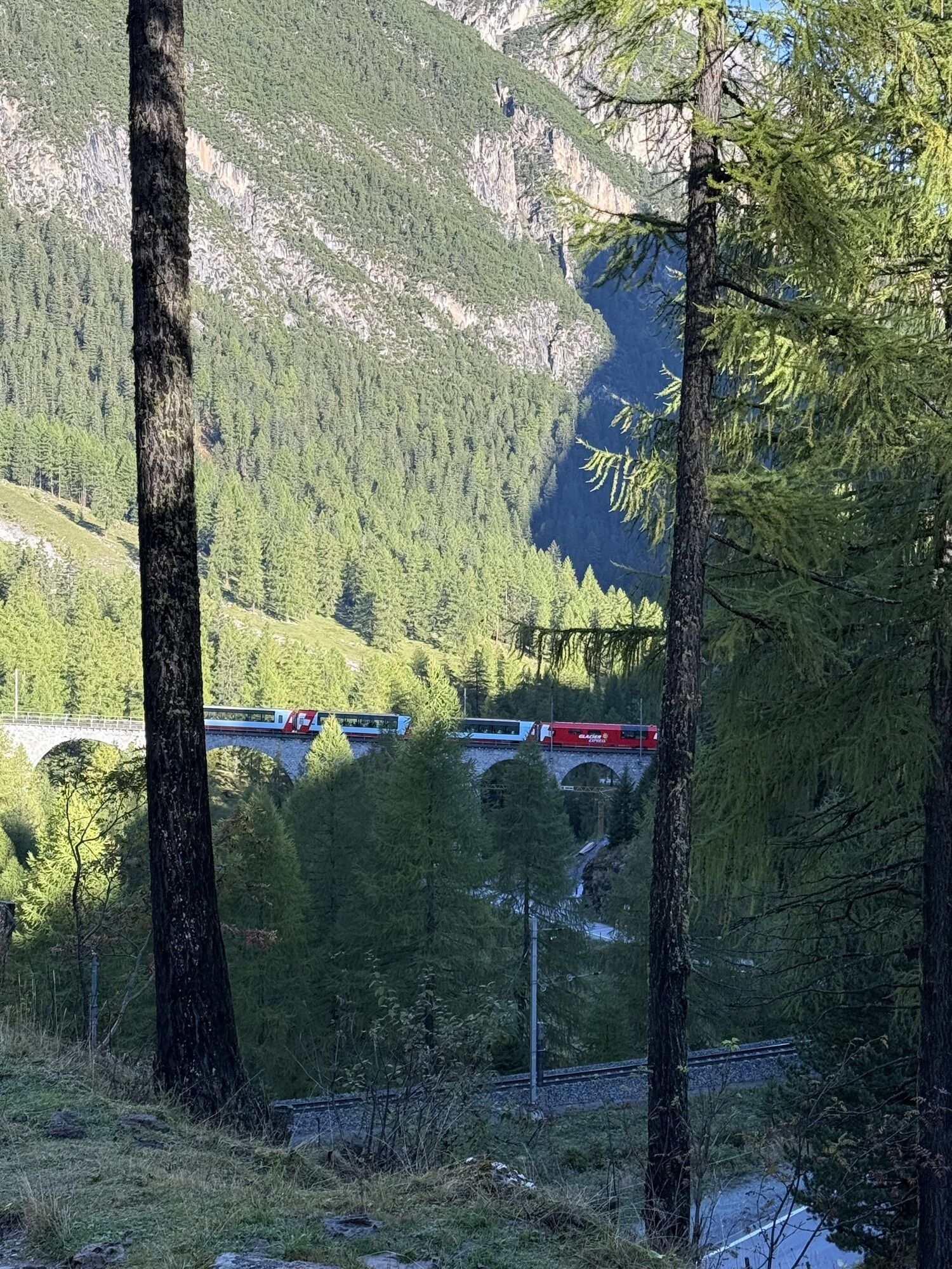
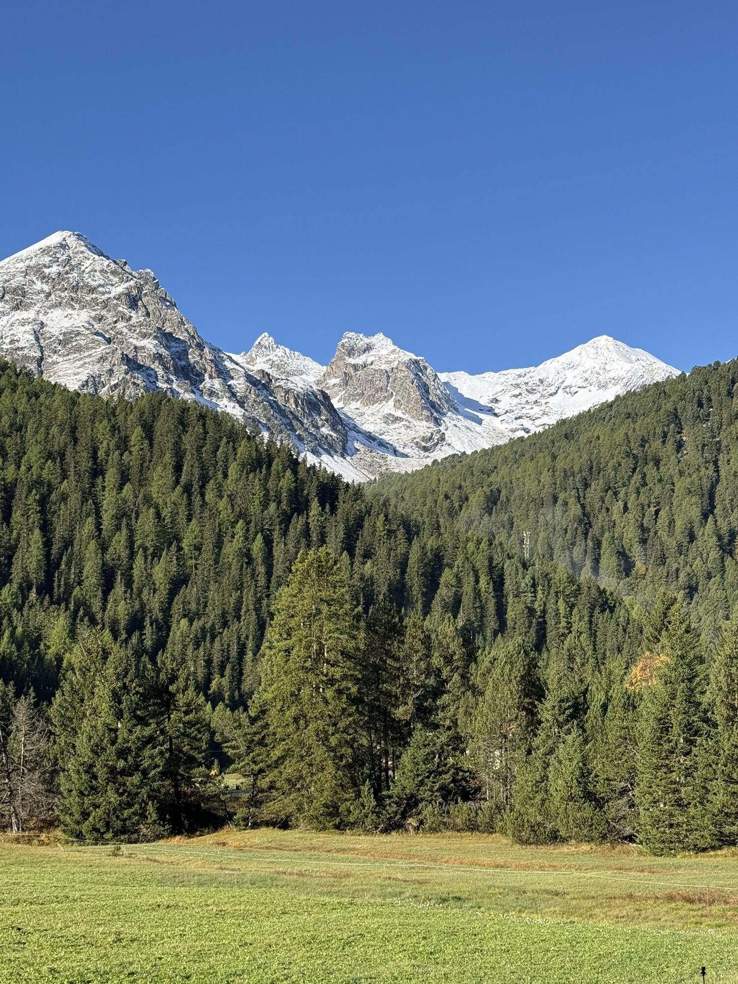
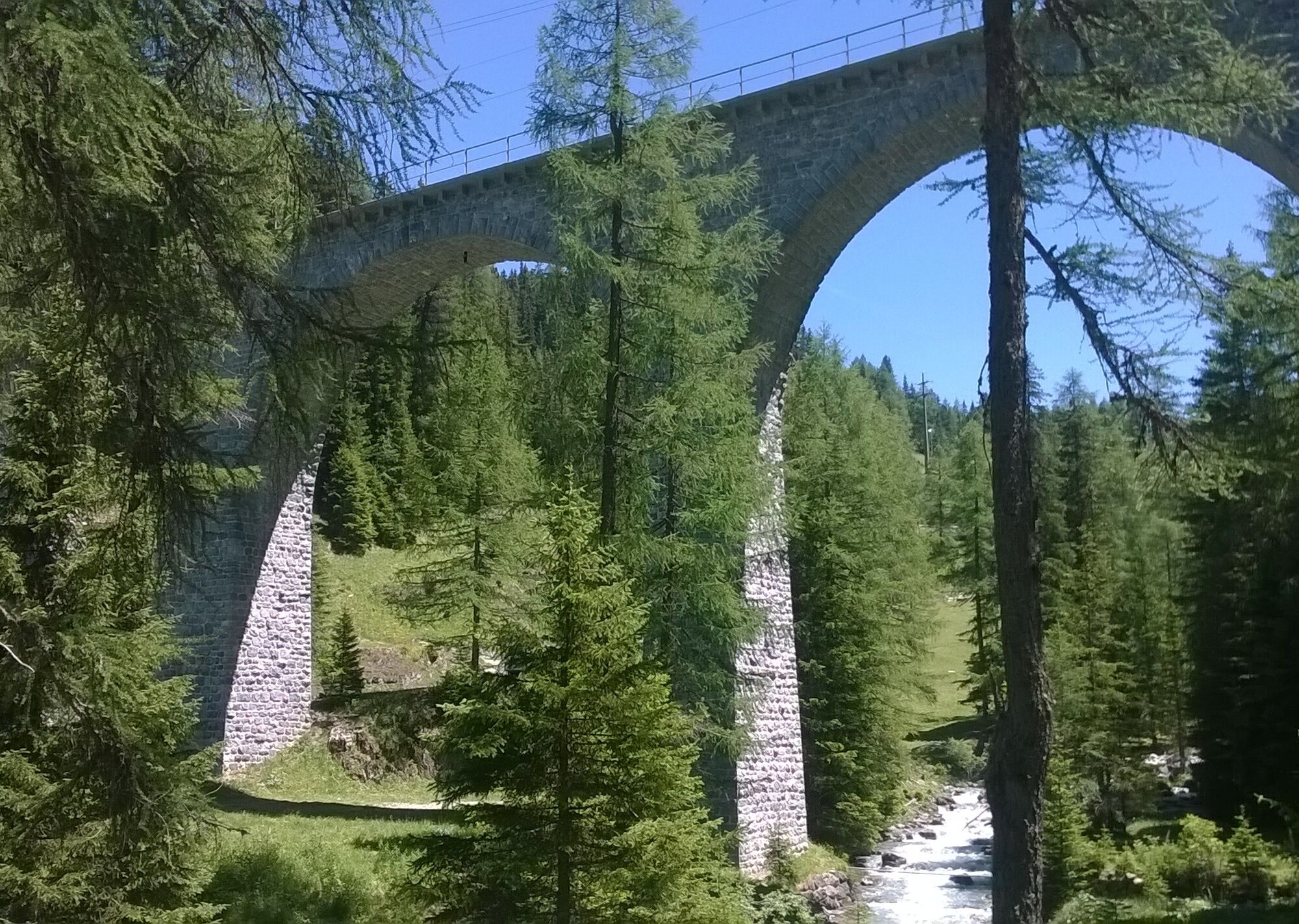
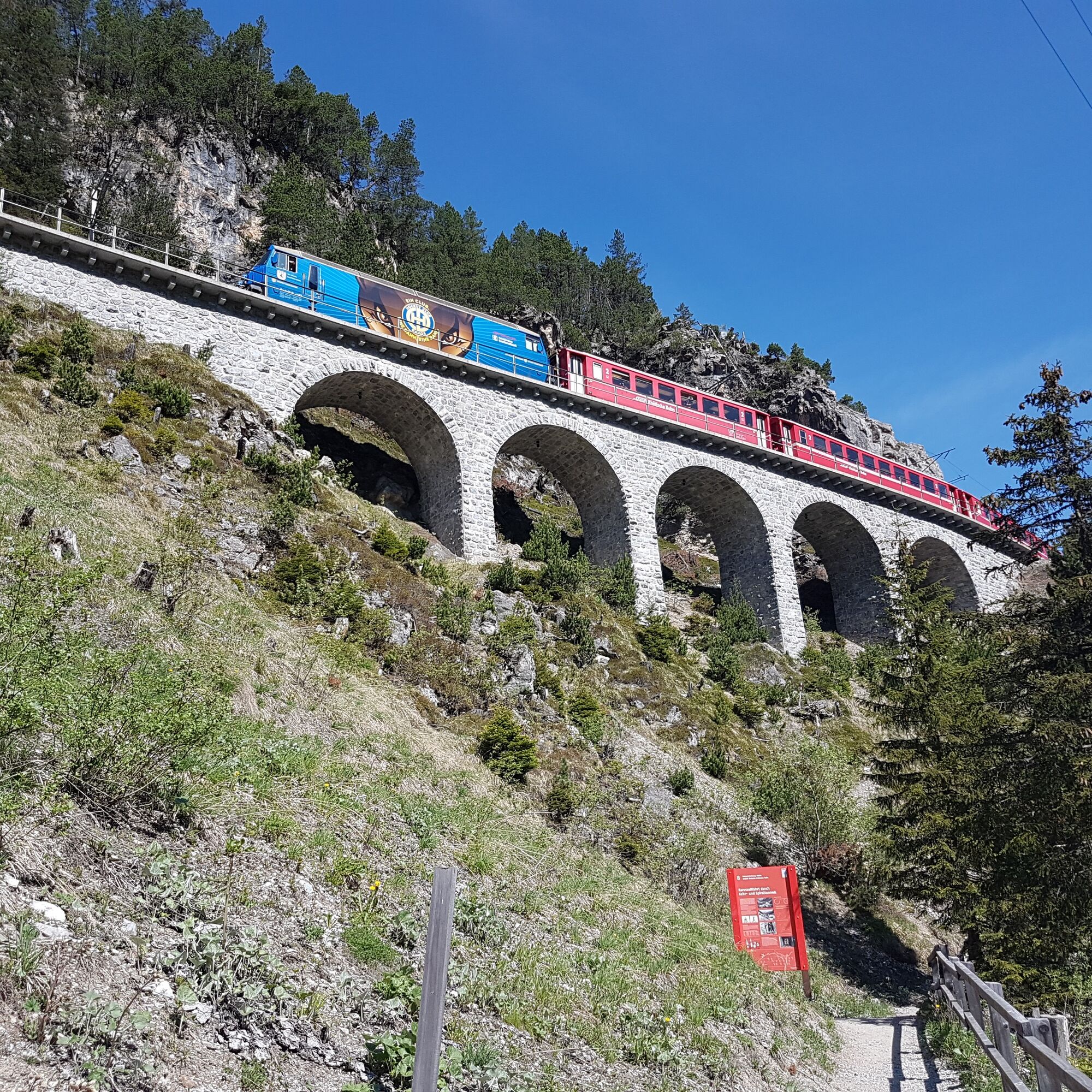
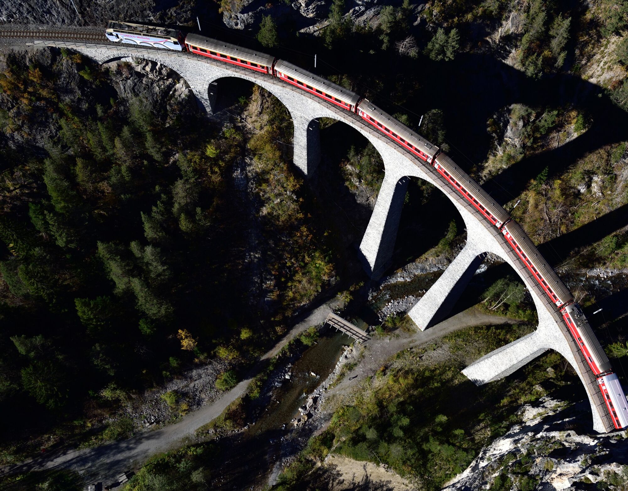
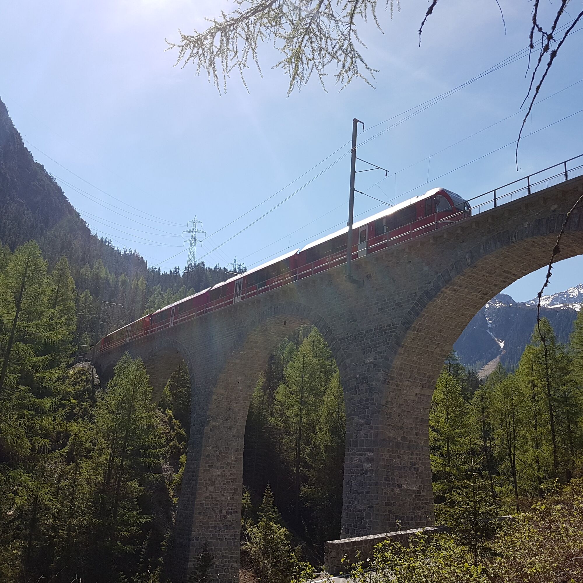
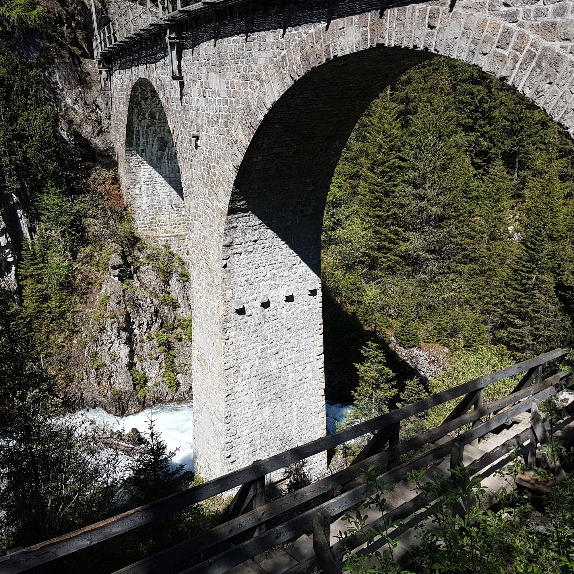
On the hike from Preda via Bergün to Filisur, you gain insight into the world of the Rhaetian Railway. Along the railway adventure trail, you will learn exciting facts about the history of the UNESCO World...
On the hike from Preda via Bergün to Filisur, you gain insight into the world of the Rhaetian Railway. Along the railway adventure trail, you will learn exciting facts about the history of the UNESCO World Heritage Rhaetian Railway in the Albula/Bernina landscape.


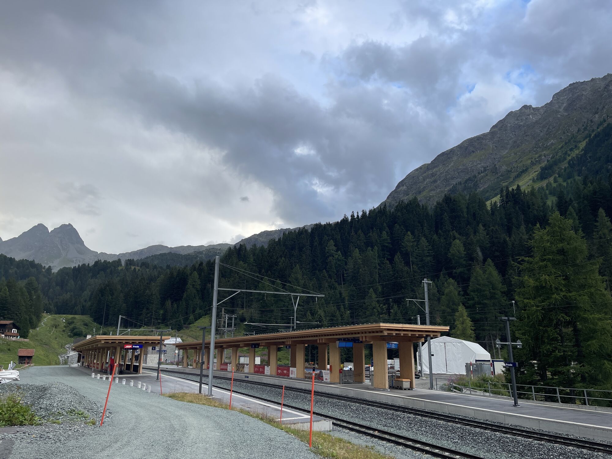
Start: Preda (1,789 m asl)
Goal: Bergün (1,373 m asl)
Hiking time: 2 h 15 min to 2 h 45 min (approximate time)*
Ascent/Descent: approx. 60 / 480 meters
Distance: 7.0 km
Characteristics: (T2) Moderate mountain hike on well-developed but partly narrow trails. Short, steep ascent in the area of the Rugnux spiral tunnel.
Stage 2: Bergün - Filisur
Start: Bergün (1,373 m asl)
Goal: Filisur (1,080 m asl)
Hiking time: 3 h 15 min to 3 h 45 min (approximate time)*
Ascent/Descent: approx. 250 / 540 meters
Distance: 9.0 km
Characteristics: (T2) Moderate mountain hike mostly on well-developed and partly narrow trails. Steep descent from the Stuls station down to the cantonal road. The section Bellaluna - Filisur is an easy (T2) mountain hike.
Stage 3: Filisur - Landwasser Viaduct - Filisur
Start: Filisur (1,080 m asl)
Goal: Filisur (1,080 m asl)
Hiking time: 1 h 30 min (approximate time)*
Ascent/Descent: approx. 200 / 200 meters
Distance: 5.0 km
Characteristics: (T2) Easy hike on well-developed trails.
* The indicated times correspond to pure walking times. If you take time on the way to read the information boards, the time required can double.
From Zurich take the A13 to the Thusis South exit, then continue on the cantonal road towards the Albulapass.
Arrival by the Rhaetian Railway on the UNESCO World Heritage route to Preda or Bergün
Parking is available at both starting points - however, we recommend arriving by RhB.
Service Center
Plazi 2A
7482 Bergün/Bravuogn
Tel. +41 (0)81 407 11 52
Fax +41 (0)81 407 14 04
info@berguen-filisur.ch
www.berguen-filisur.ch
Combine the hike with a visit to the Albula Railway Museum in Bergün. The museum is located directly at the Bergün station.

Webové kamery z prohlídky


Oblíbené prohlídky v okolí
-
4.6
749 Val Meltger suspension bridge trail
středníTuristika 8.30 km -
3.5
Arosa-Maienfelder Furgga-Stafelalp-Davos
středníTuristika 15.9 km -
5.0
Alp Sanaspans - Rothorn
heavyTuristika 13.6 km -
Kesch Trek Tour (4 stages)
střednídálková pěší trasa 47.6 km -
5.0
4-Viaduct hike
středníTuristika 13.6 km -
ALP FLIX
středníTuristika 13.0 km -
5.0
767 Alteinsee Schiesshorn
středníTuristika 11.9 km -
4.7
Bever-Spinas (Val Bever)
světloZimní turistika 4.06 km -
4.0
Spinas - Fuorcla Crap Alv - Preda
středníTuristika 12.1 km -
5.0
Preda - Lai da Palpuogna
světloTuristika 1.67 km
Pěší turistika a stopování


Nenechte si ujít nabídky a inspiraci pro vaši příští dovolenou
Vaše e-mailová adresa byl přidán do poštovního seznamu.





