






Schellen-Ursli-Trail
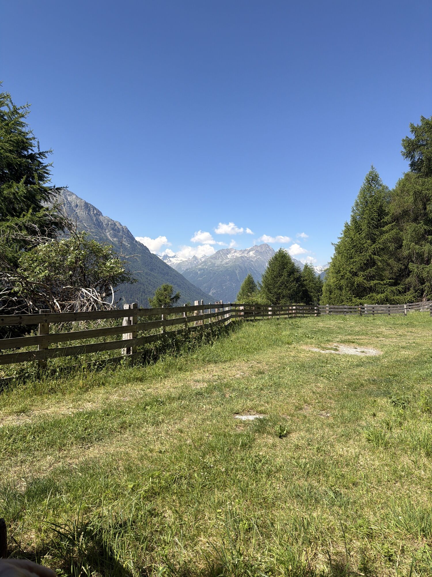
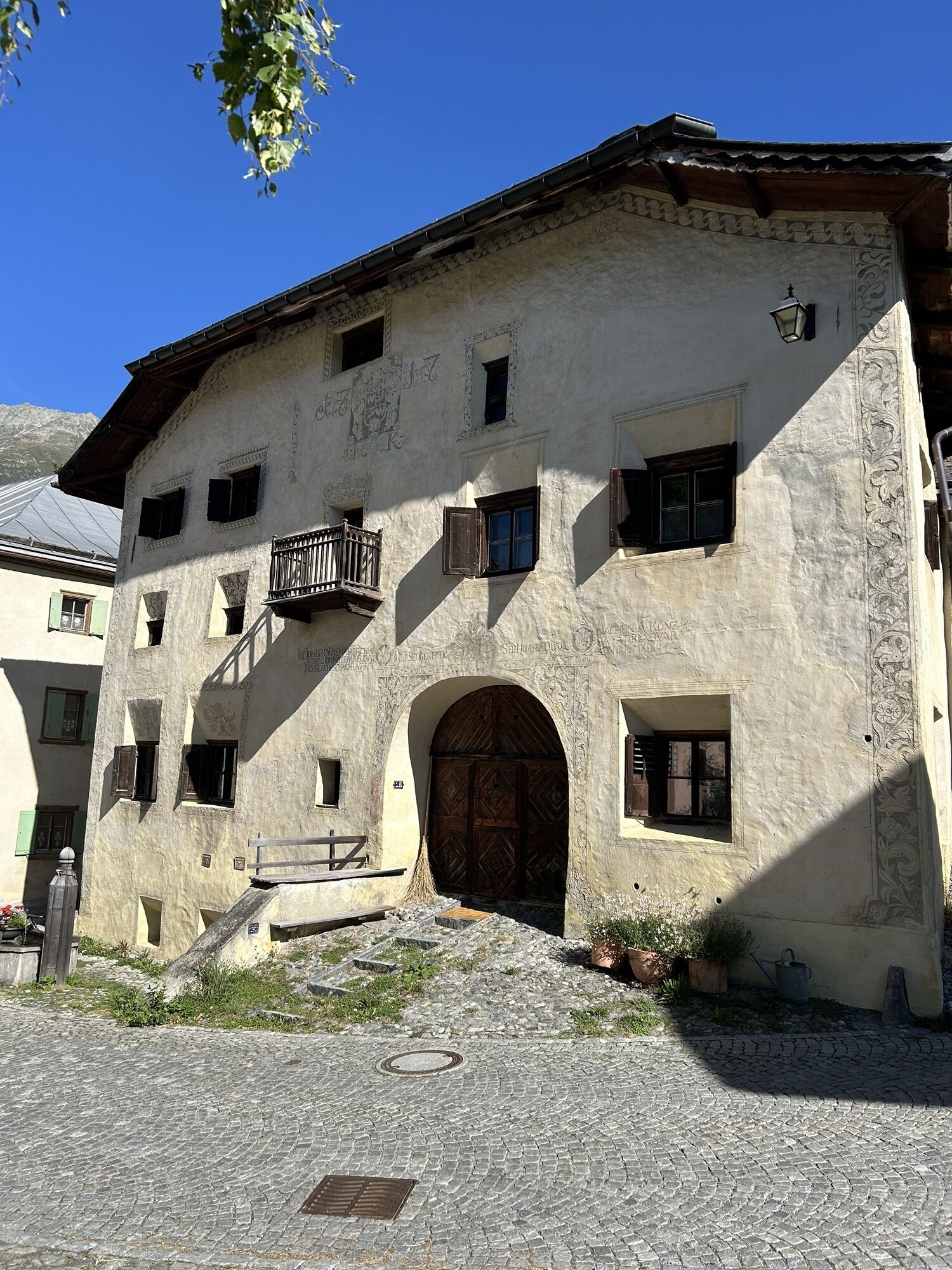
The theme path is located above the «Schellen-Ursli village» of Guarda. The trail leads from Guarda to «Plan dal Növ», over to «Clüs», to «Lajet» and back down to Guarda. The trail focuses on highlights...
The theme path is located above the «Schellen-Ursli village» of Guarda. The trail leads from Guarda to «Plan dal Növ», over to «Clüs», to «Lajet» and back down to Guarda. The trail focuses on highlights from the book, such as the handing out of bells, the adventurous climb to the Maiensäss or the joyful bell procession «Chalandamarz». The experience is always in the foreground. Thus, not the whole story is told, but visitors’ imagination is given lots of freedom.

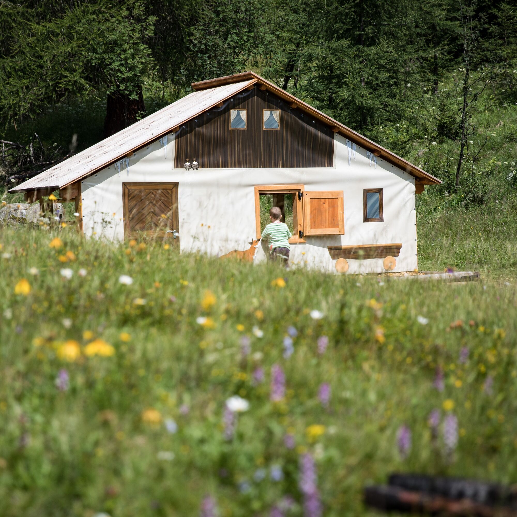
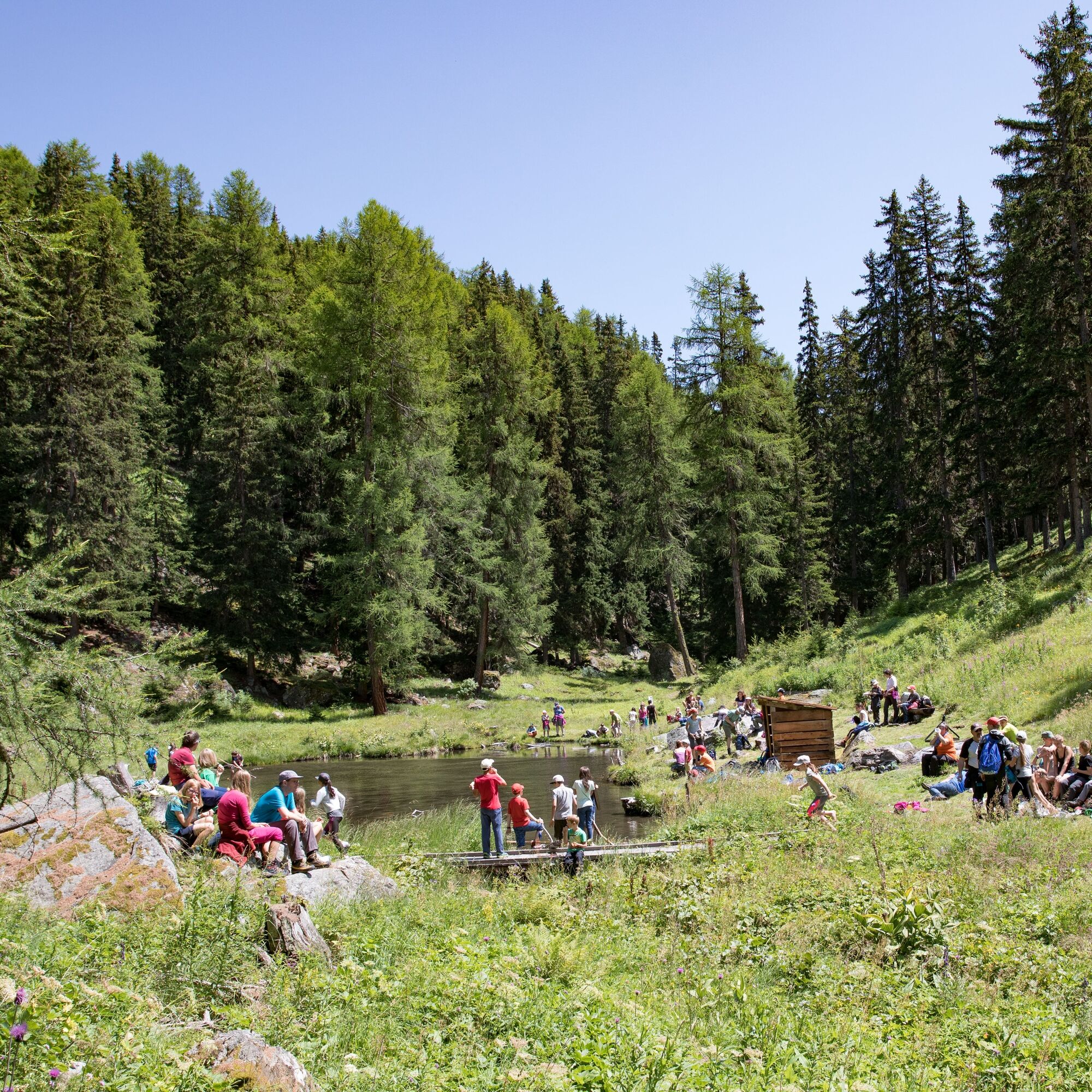
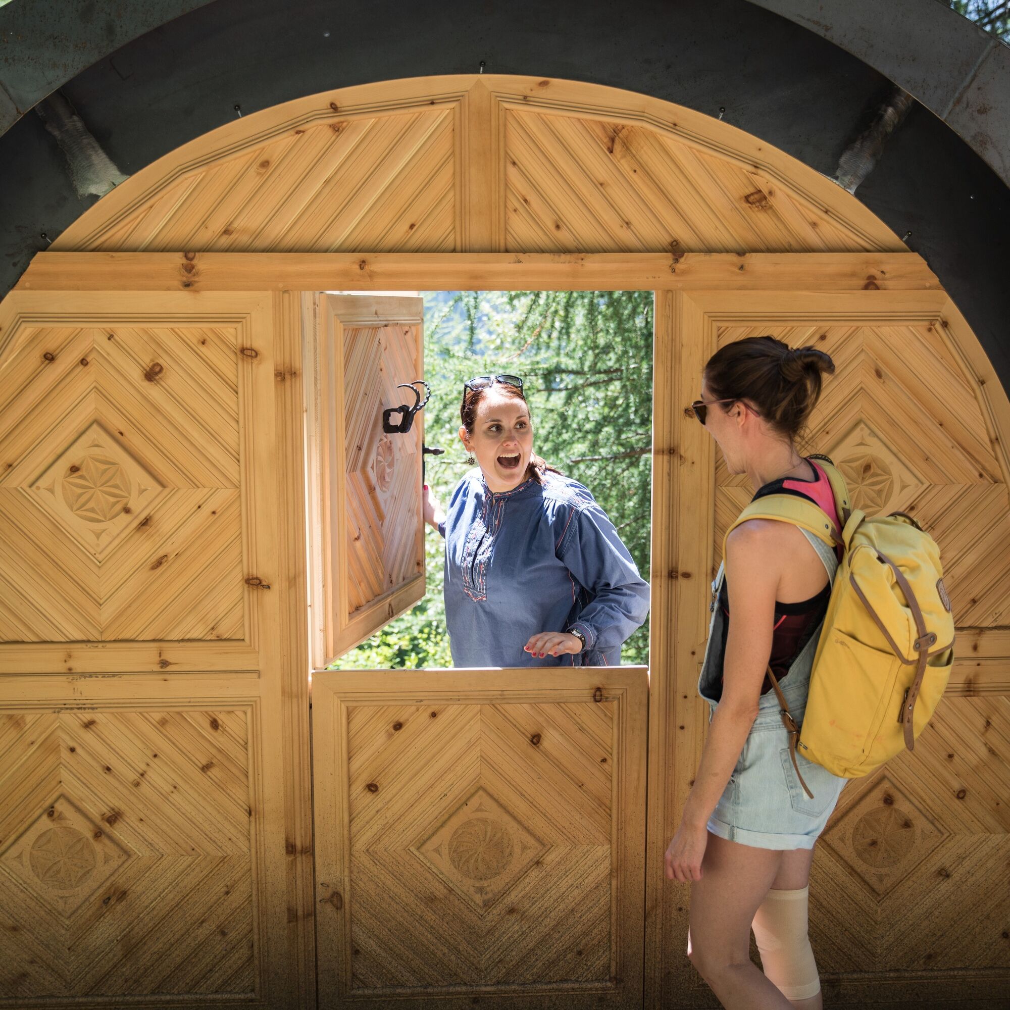
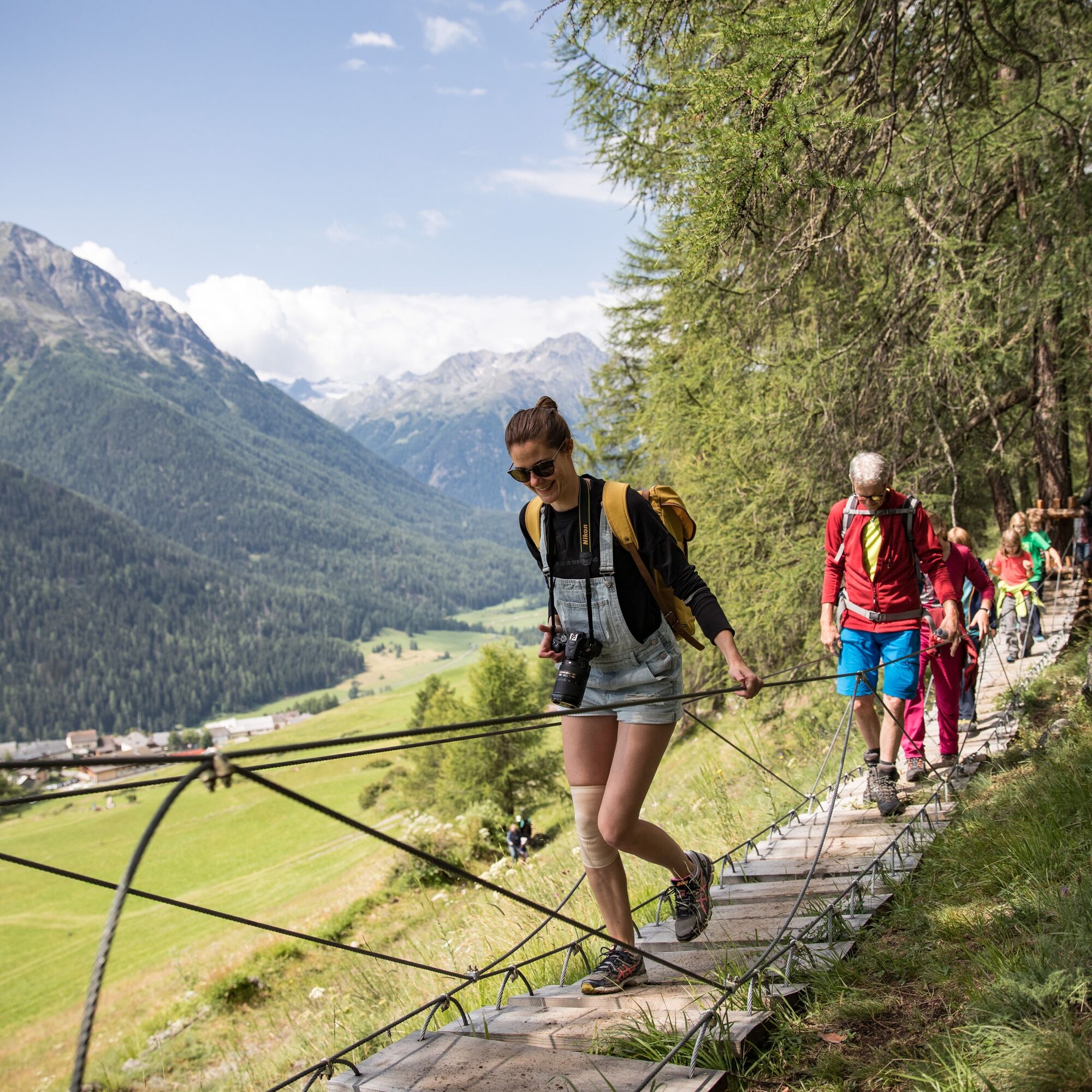


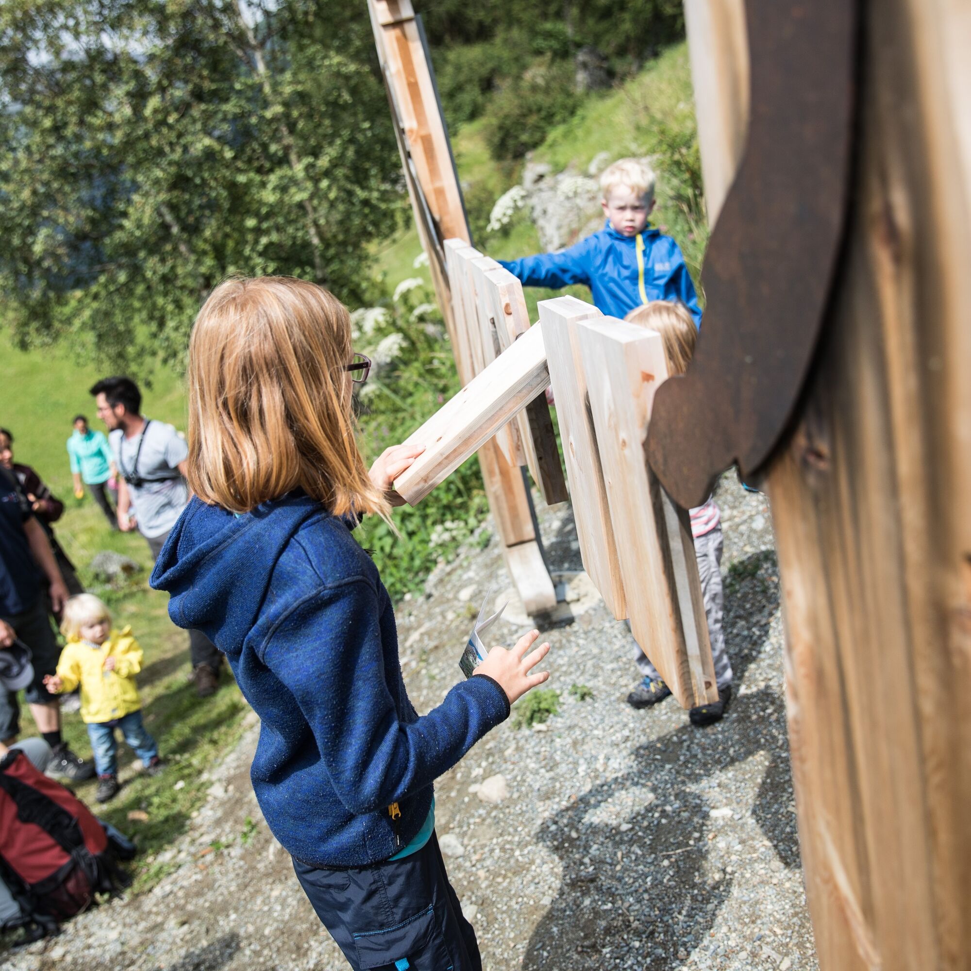
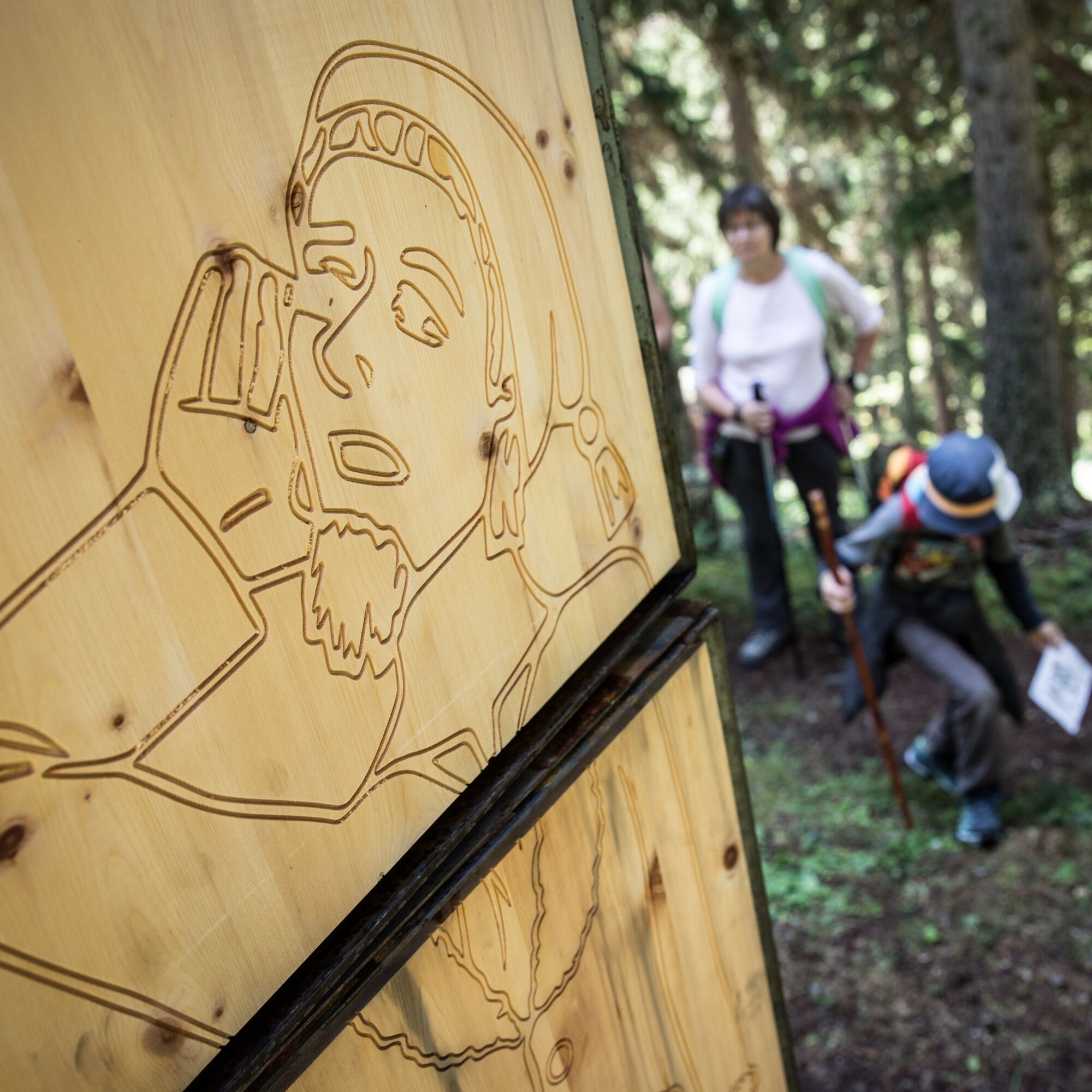


The theme walk is located above the «Schellen-Ursli village» of Guarda. It was reopened in autumn 2016. The trail leads from Guarda to «Plan dal Növ», over to «Clüs», to «Lajet» and back down to Guarda. The trail is not suitable for prams.
Ano
Good shoes, rain and sun protection, water bottle, first aid kit
Emergency call:
144 emergency call, first aid
1414 Mountain rescue REGA
112 International emergency call
Guarda can be reached from the Engadine road H27 in 20 minutes driving time from the Vereina south portal.
With the Rhaetian Railway (from Chur, Landquart/Prättigau or from the Upper Engadine) hourly to Guarda station.
By PostBus connection to the PostBus stop Guarda, cumün
Paid parking at the entrance to Guarda village.
Before or after the hike, you can visit the Schellen-Ursli Museum in Guarda, which is located opposite the Hotel Meisser.
 Získejte přehled
Vždy živě na místě s více než 9 500 webkamerami. bergfex Jako uživatel Pro si nyní můžete zobrazit odpovídající webové kamery pro mnoho prohlídek v aplikaci prohlídky z. Můžete si tak přímo prohlédnout aktuální podmínky.
Získejte přehled
Vždy živě na místě s více než 9 500 webkamerami. bergfex Jako uživatel Pro si nyní můžete zobrazit odpovídající webové kamery pro mnoho prohlídek v aplikaci prohlídky z. Můžete si tak přímo prohlédnout aktuální podmínky.

Oblíbené prohlídky v okolí
-
4.9
Hiking trail Piz Buin - view
středníTuristika 14.4 km -
5.0
Großer Piz Buin (3.312m), Normalweg 2019 über Ochsentaler Gletscher
heavyVysokohorská turistika 24.1 km -
4.8
National park: Zernez – Munt Baselgia – Macun lakes – Alp Zeznina – Lavin
heavyTuristika 22.9 km -
3.0
Bielerhöhe - Vermuntkopf - Bielerhöhe
středníTuristika 17 km -
4.7
Silvretta Stausee
světloTuristika 6.22 km -
4.0
National Park: Margunet
světloTuristika 7.76 km -
Ascent of Hohes Rad and stop at the Wiesbadener Hut
heavyTuristika 15.8 km -
4.6
Gaschurn, Wiesbadner Hütte
Mountainbike 6.82 km -
4.5
Tarasp Fontana – Sparsels – Lai Nair (circular route)
světloTuristika 7.67 km -
4.8
National Park: Grimmels (circular hike)
světloTuristika 6 km
Pěší turistika a stopování


Nenechte si ujít nabídky a inspiraci pro vaši příští dovolenou
Vaše e-mailová adresa byl přidán do poštovního seznamu.





