



Isel natural history trail

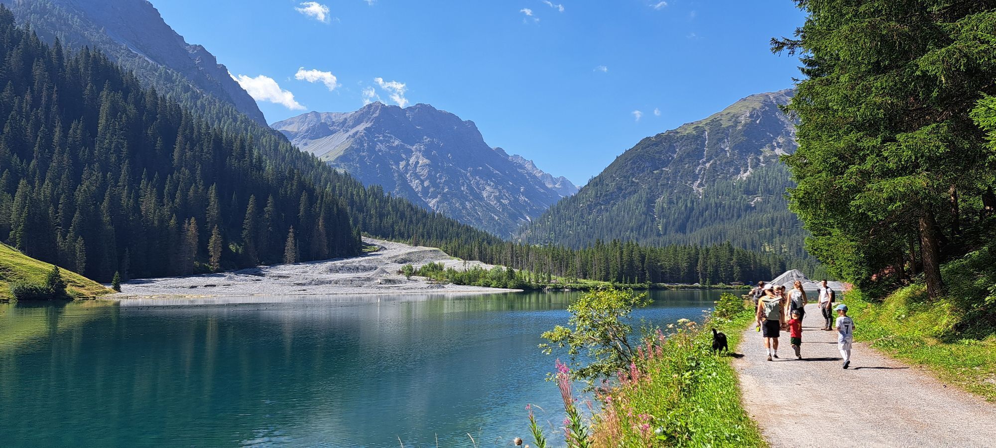
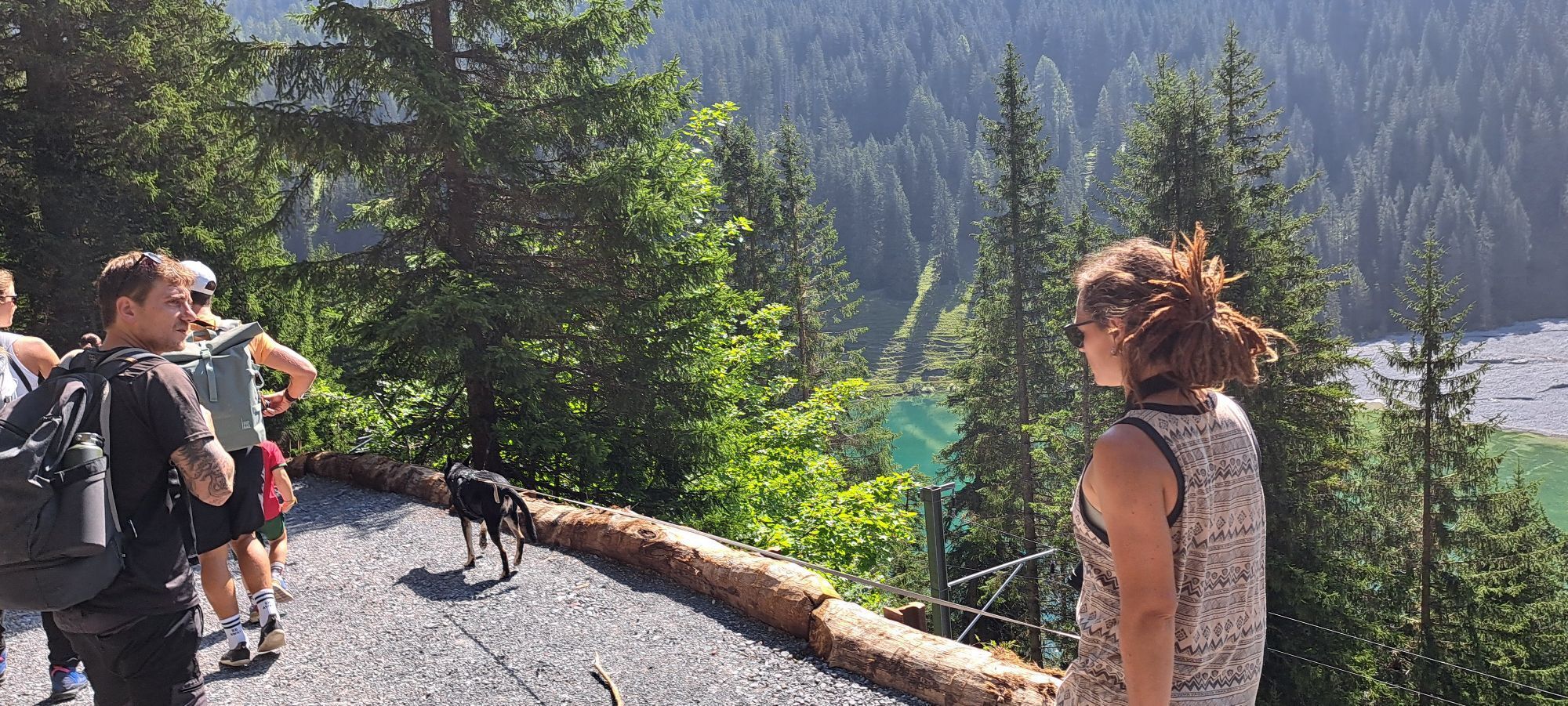
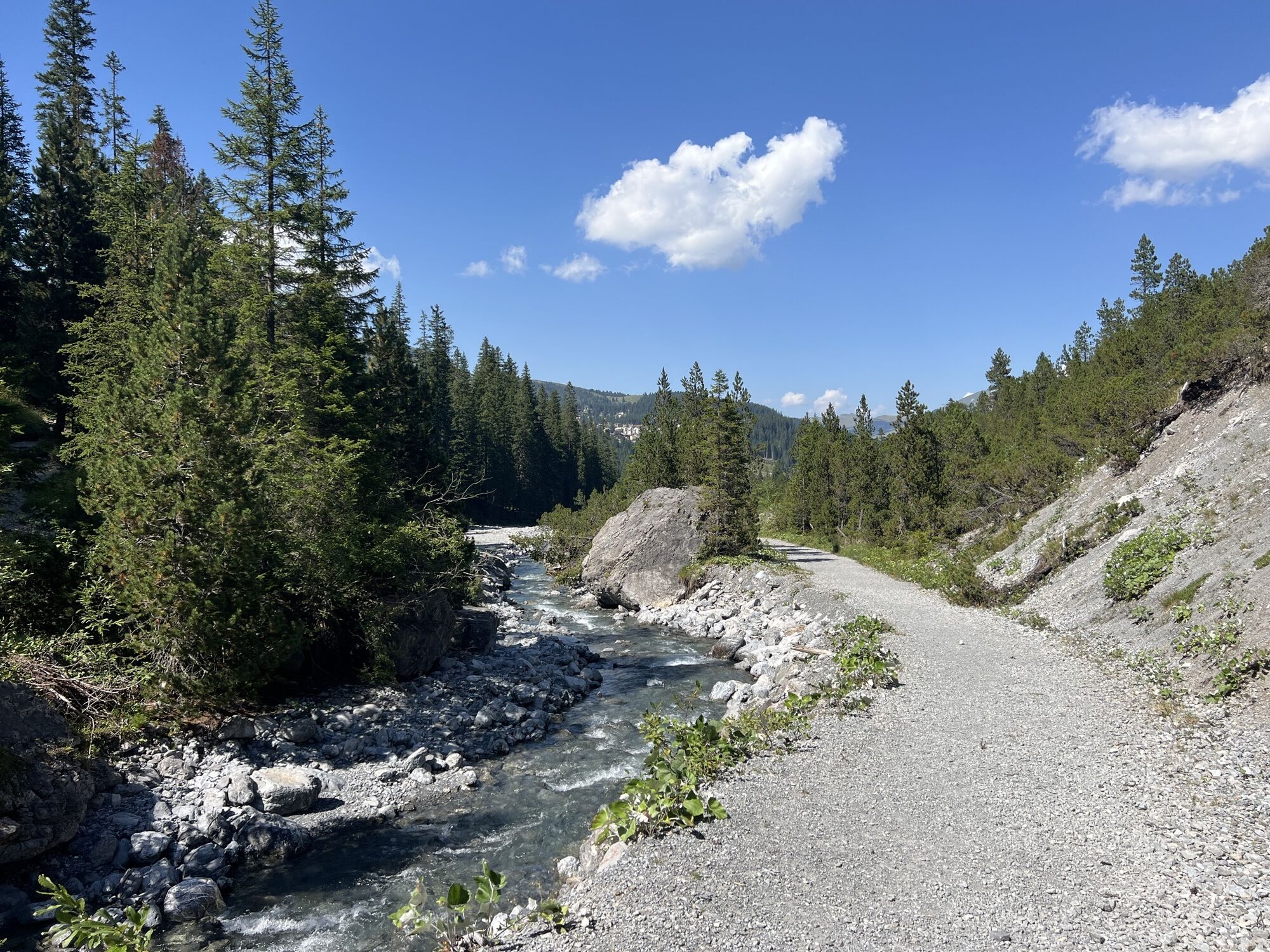
Would you like to learn something about the history of water and electricity supply in Arosa, or do you simply want to discover the mysterious botanical and geological diversity of our region on your own?...
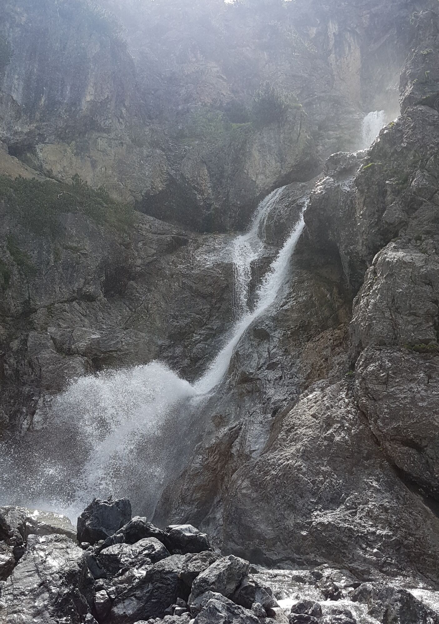
Would you like to learn something about the history of water and electricity supply in Arosa, or do you simply want to discover the mysterious botanical and geological diversity of our region on your own? Then follow the natural history trail. The path leads from Iselwies to the Altein waterfall and back to the reservoir. This walk is also possible in bad weather.

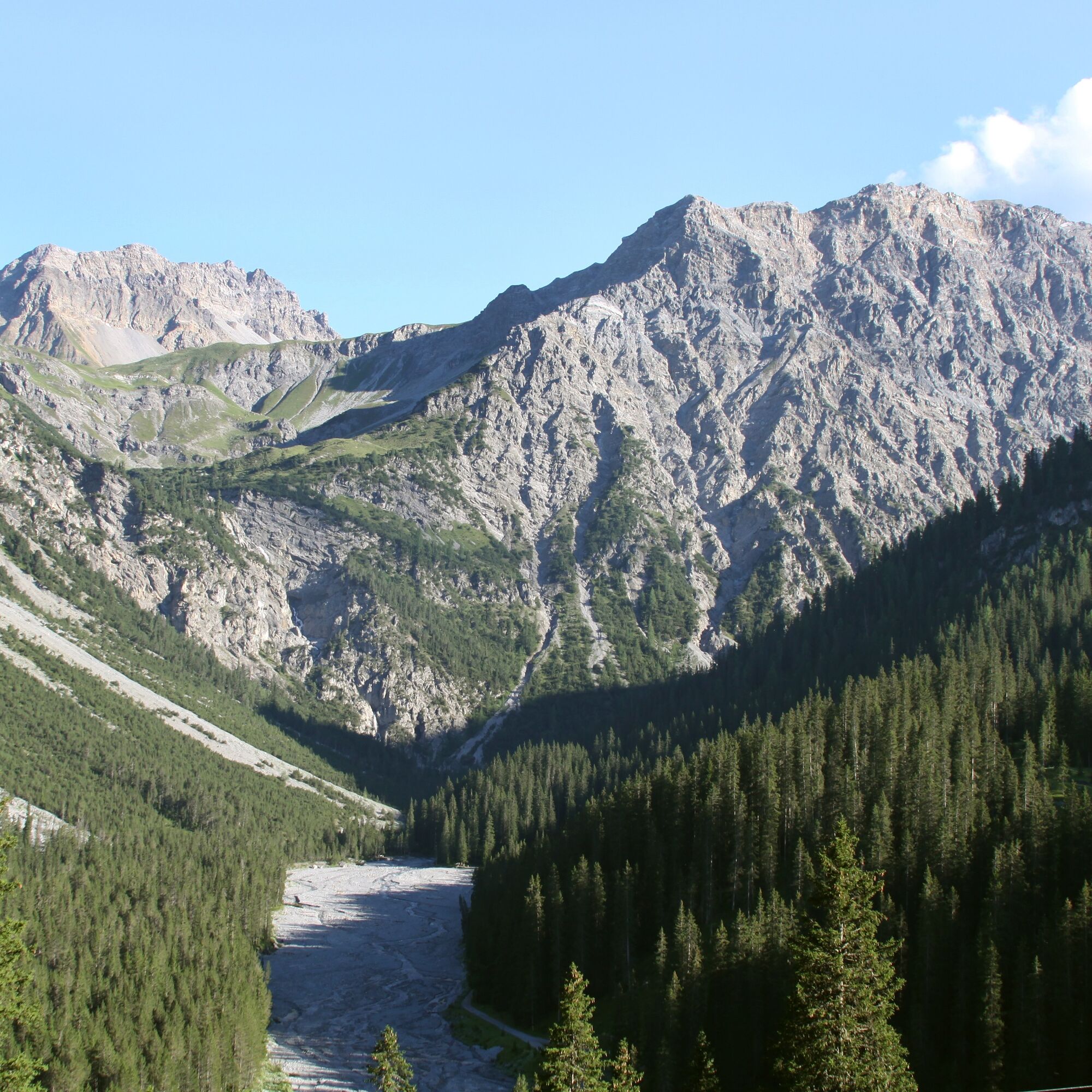

ARA Arosa - Arosa Reservoir
Ano
Ano
Good footwear and weather-appropriate clothing are recommended.
Arosa is committed to providing hikers with a well-developed and marked network of hiking trails. Please observe the rules and signs. You can find more helpful tips under hiking information.
From Chur via Schanfiggerstrasse to Arosa. At the Postplatz in Arosa, turn left towards Untersee/Reservoir.
The Rhaetian Railway runs hourly from Chur to Arosa and back.
From the station take the village bus to the Untersee stop, then continue on foot to the reservoir.
At the entrance to the village of Arosa you will find a large parking display board. There are parking spaces directly at ARA Arosa.
More information at Arosa Parking.
Our wishes to the hikers:
Arosa is committed to providing hikers with a well-developed and marked network of hiking trails. Please observe the following wishes and suggestions:
Dogs must be kept on a leash Please take waste and picnic leftovers back home with you Leave trail markings in place Do not use closed paths (Live report) Do not leave officially marked winter hiking trailsEnjoy the hike in July – because then the lady's slipper orchid (Cypripedium calceolus) blooms in the Isel near Arosa. The plant loves light forests and calcareous soils – which is why it thrives particularly well in the Isel. The development from seed to flowering plant takes a full 12 to 15 years.
Oblíbené prohlídky v okolí
-
4.6
749 Val Meltger suspension bridge trail
středníTuristika 8.30 km -
3.9
Arosa-Medergen-Tritt-Latschüelfurgga-Strelapass-Davos
středníTuristika 22.5 km -
Arosa-Schwellisee-Älplisee-Parpaner Rothorn
Turistika 12.3 km -
4.7
Arosa-Hörnli-Parpaner Rothorn-Lenzerheide
Turistika 11.9 km -
5.0
Alp Sanaspans - Rothorn
heavyTuristika 13.6 km -
3.5
Arosa-Maienfelder Furgga-Stafelalp-Davos
středníTuristika 15.9 km -
5.0
Eichhörnliweg Arosa
světloTematická stezka 1.72 km -
5.0
Arosa-Hörnli-Urdenfürrgli-Alp Scharmoin-Lenzerheide
středníTuristika 15.3 km -
5.0
4-Viaduct hike
středníTuristika 13.6 km -
5.0
767 Alteinsee Schiesshorn
středníTuristika 11.9 km

Pěší turistika a stopování


Nenechte si ujít nabídky a inspiraci pro vaši příští dovolenou
Vaše e-mailová adresa byl přidán do poštovního seznamu.


