


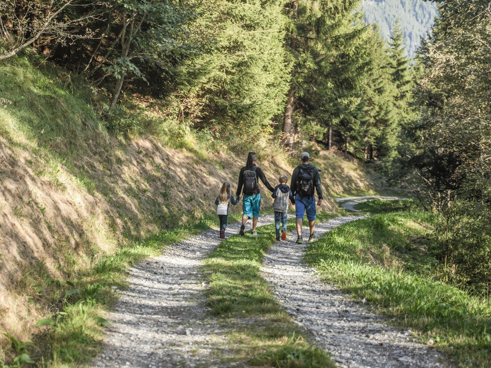
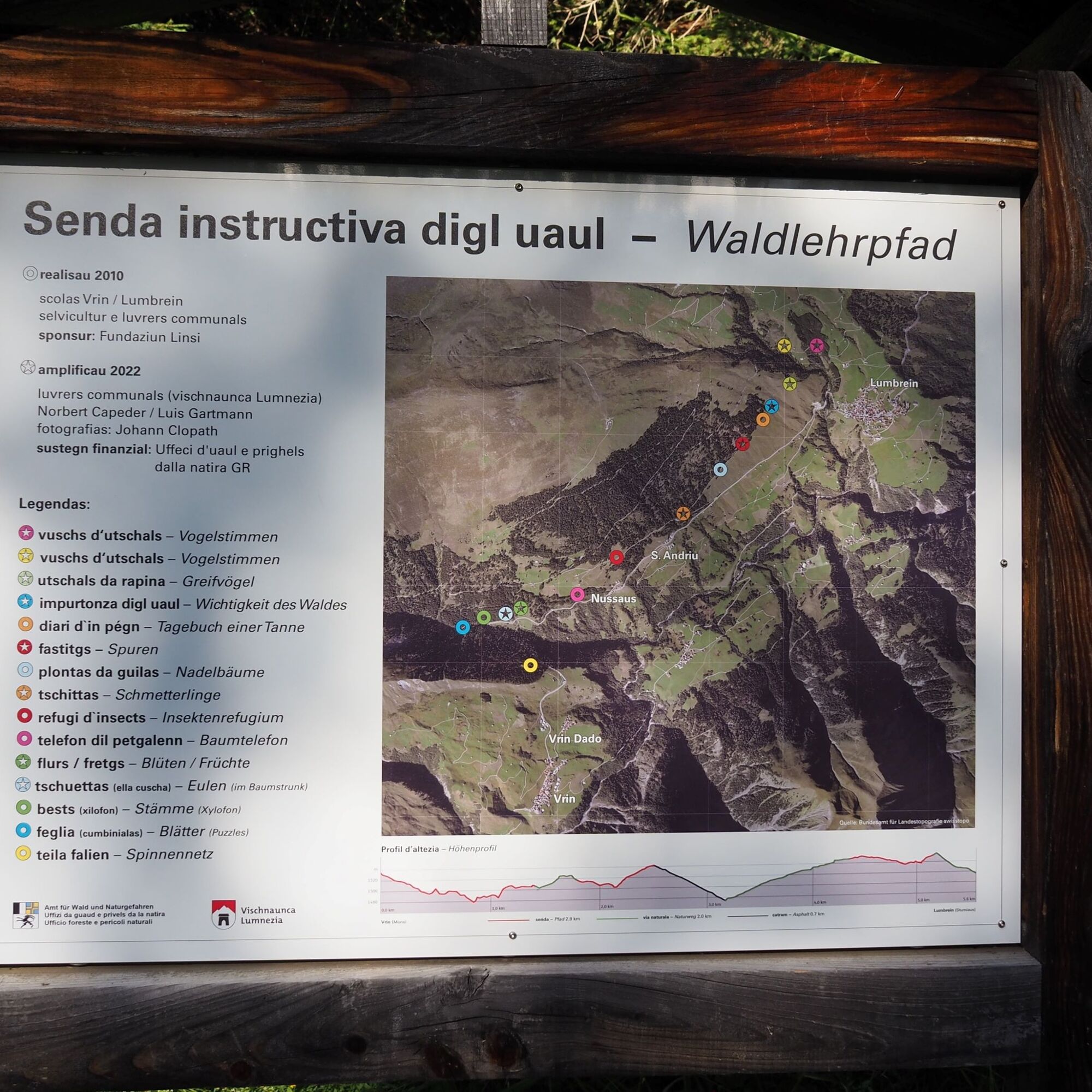
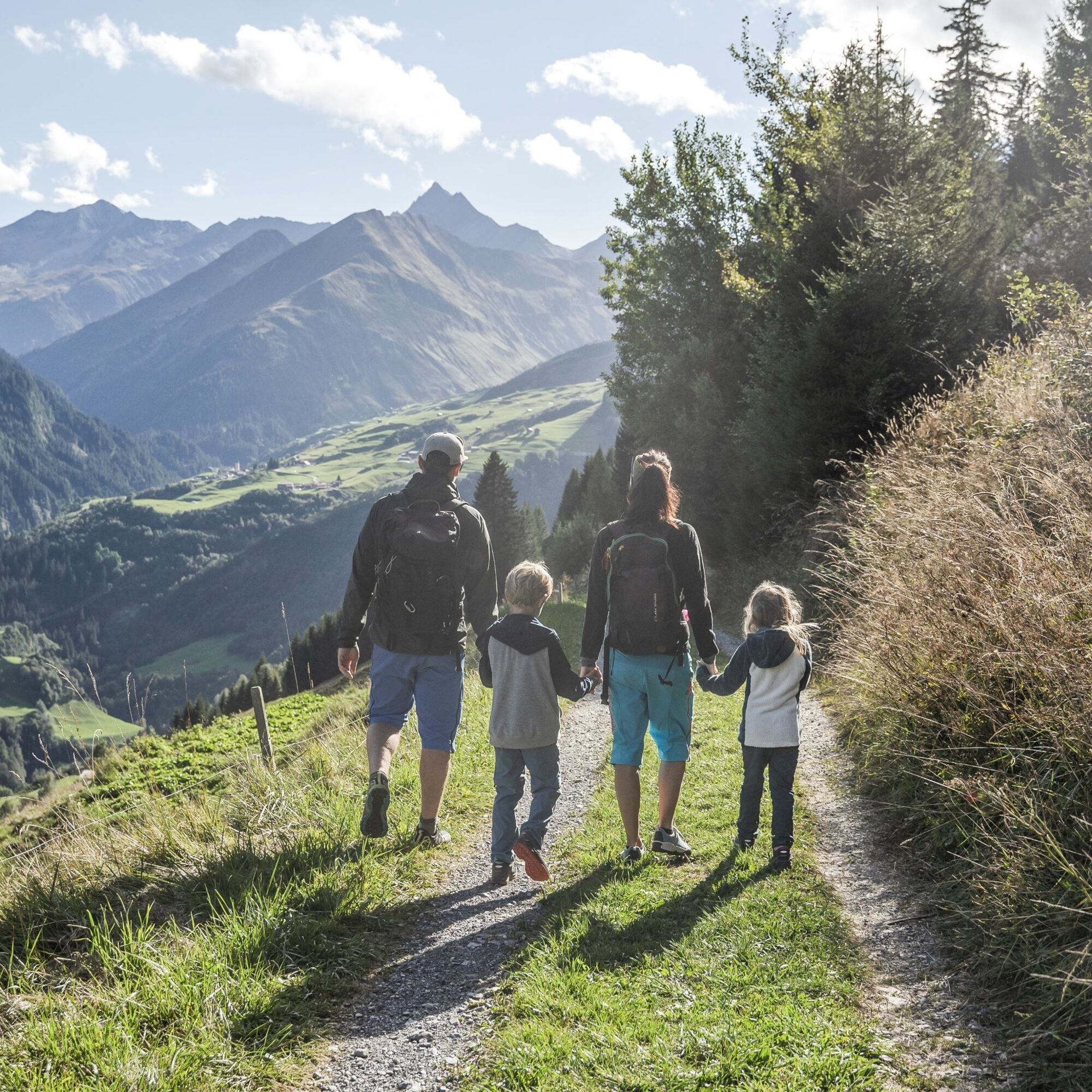
Forest Educational Trail Lumnezia
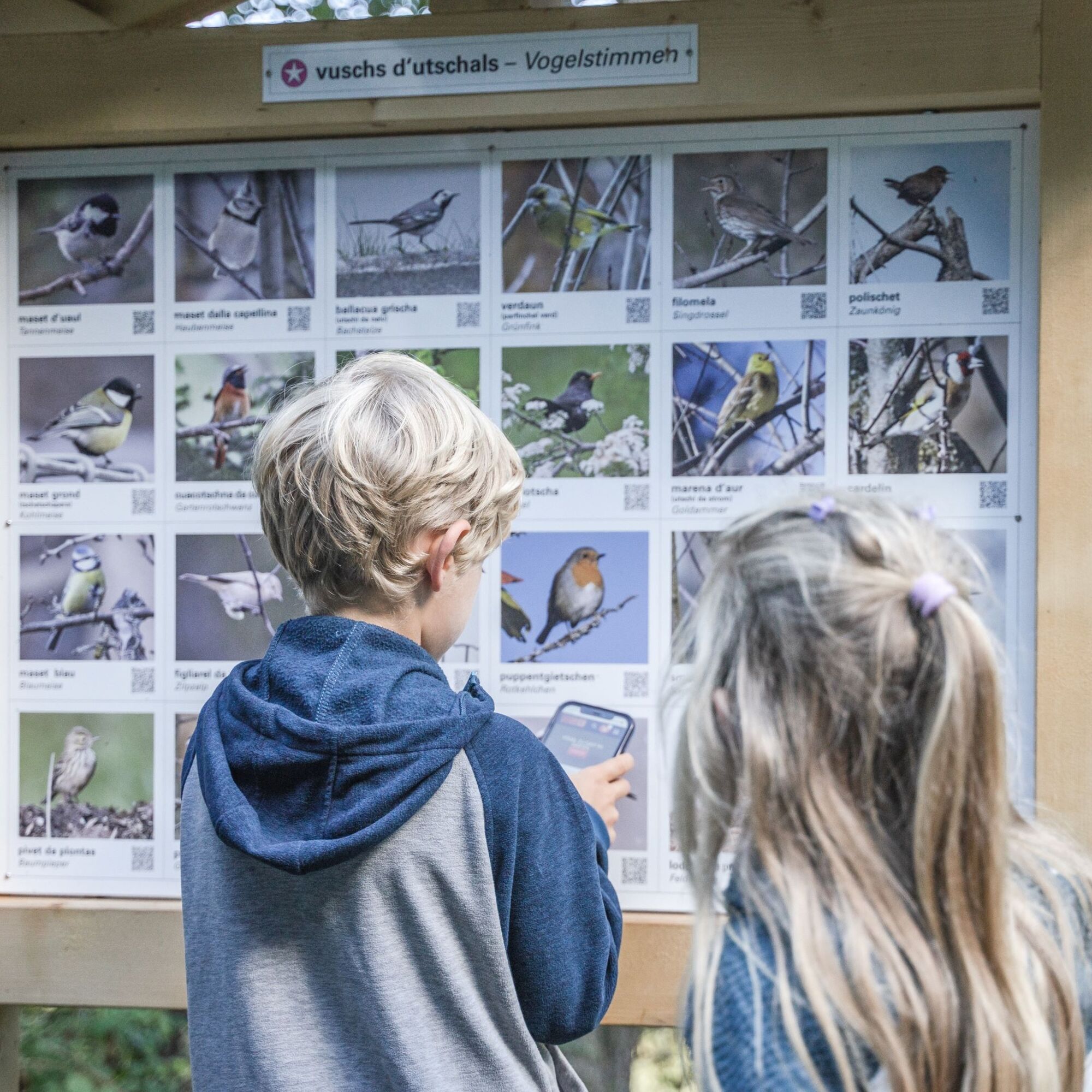
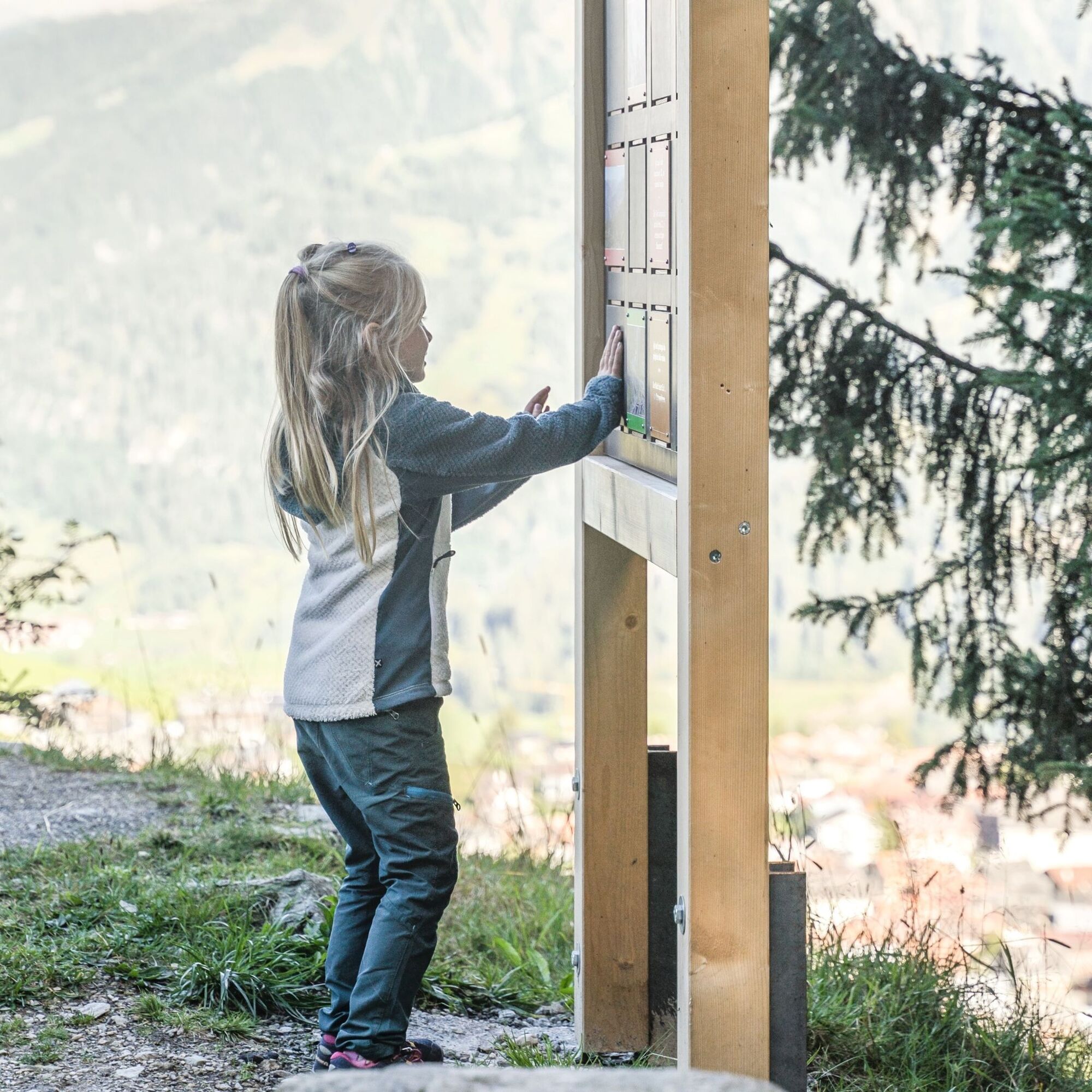
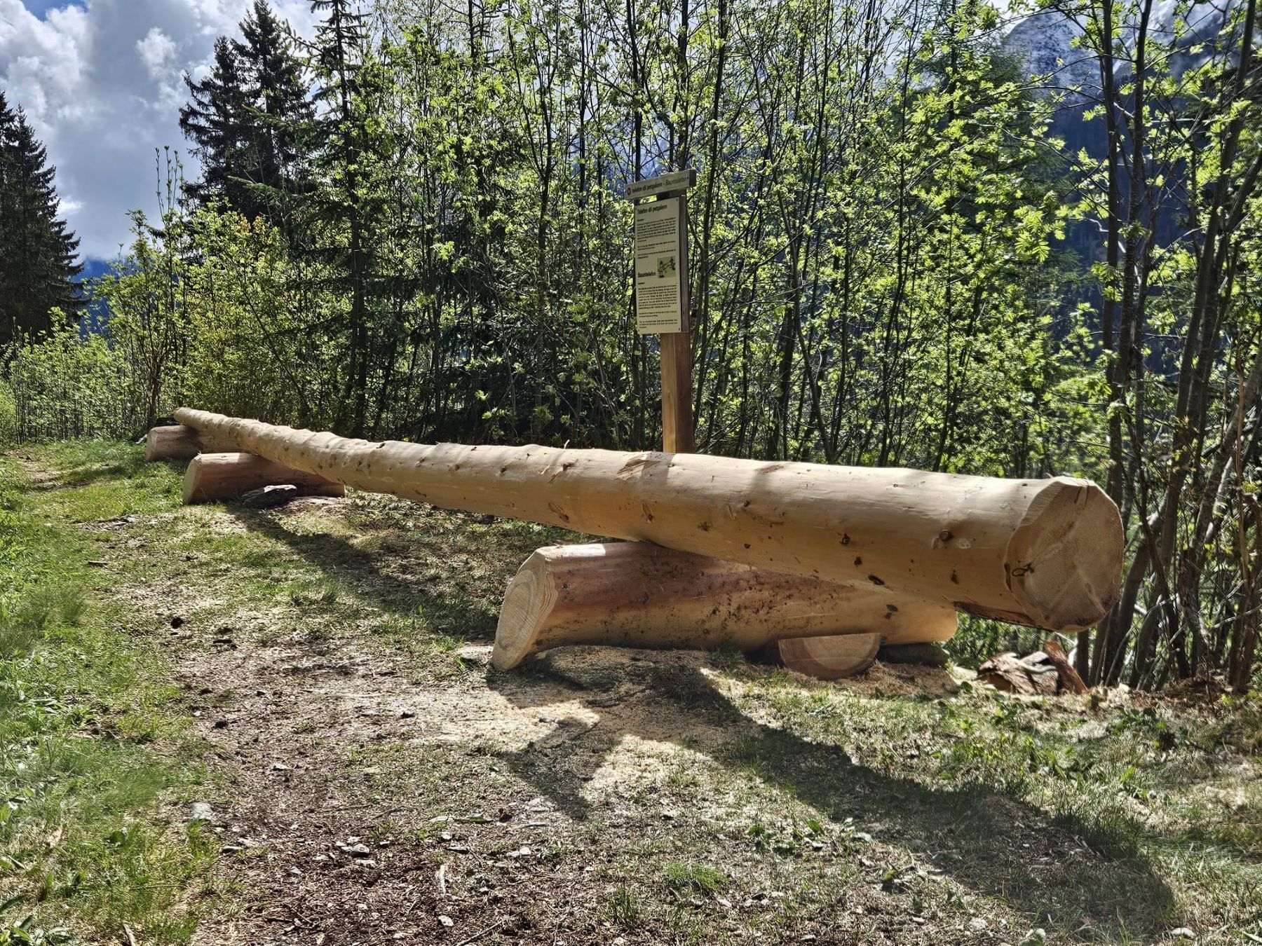
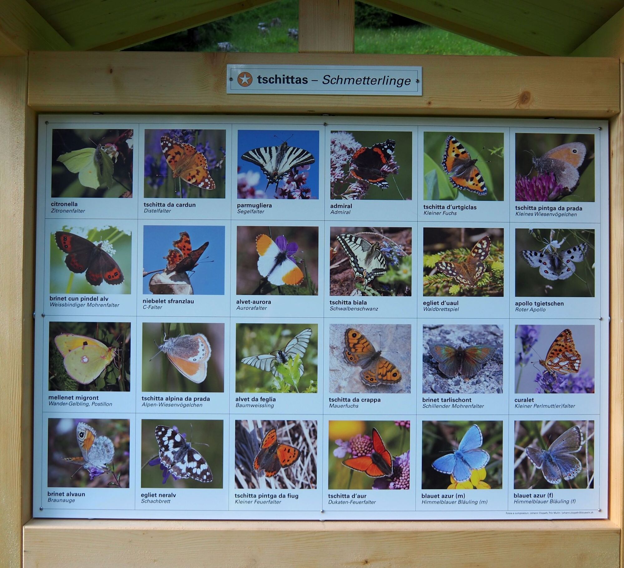
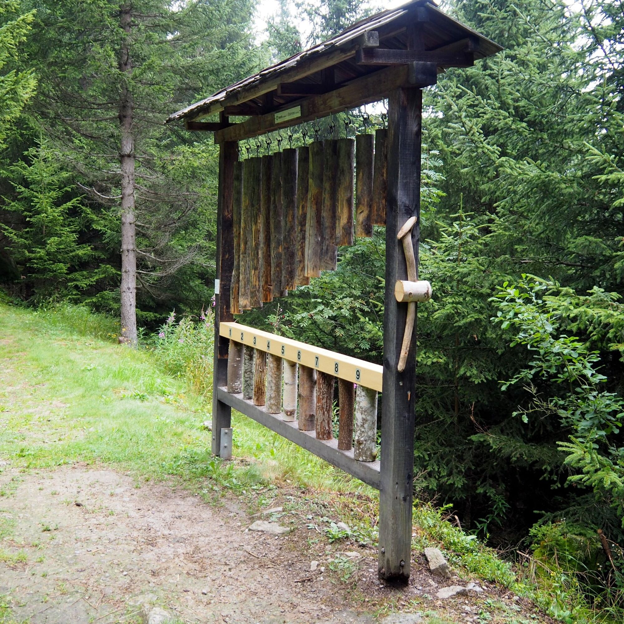
Whether nature lovers, little researchers and explorers, or animal friends - there is something to discover and try for everyone on the forest educational trail between Lumbrein and Vrin. At some stations,...
Whether nature lovers, little researchers and explorers, or animal friends - there is something to discover and try for everyone on the forest educational trail between Lumbrein and Vrin. At some stations, information can be accessed digitally via QR codes, while other stations require skill and imagination. The hike is about 9 km long and takes 2 1/2 to 3 hours (pure hiking time about 2 hours).
The forest educational trail was created in 2010 by primary school students and teachers from the municipalities of Lumbrein and Vrin together with the forester and municipal workers. It was renewed and supplemented with some new stations in 2022.
Of course, the route can also be explored in the opposite direction.
See also
Surselva Tourismus AG
Info Lumnezia
Palius 32D
7144 Vella
Tel.: 0041 81 931 18 58
Email: info@vallumnezia.ch
Internet: www.vallumnezia.ch

Lumbrein - Val Mulina - Val Miedra - Mons - Vrin
Ano
Hiking shoes with good tread or trekking shoes, weather-appropriate clothing (rain jacket), drink.
Via Chur A3/A13 via Flims to Ilanz in the Val Lumnezia.
PostBus line 90.441 Ilanz - Vrin, stop Lumbrein or Vrin
Public parking spaces on the school grounds in Lumbrein as well as on the school grounds in Vrin.
Oblíbené prohlídky v okolí
- 5,0
High valley Val Frisal
heavyTuristika 12,4 km - 5,0
Hiking route Suspension Bridge Val da Tersnaus
středníTuristika 3,24 km - 5,0
Panorama route
světloTuristika 5,39 km Giro della Greina
Turistika 50,6 km- 3,3
3-lake hike
středníTuristika 12,8 km - 5,0
Winter hike Gadastatt - Frunt - Zerfreila (Panorama trail)
světloZimní turistika 5,36 km Panoramic route between Piz Mundaun and Péz Sezner
středníTuristika 6,75 km- 5,0
2-day hike Greina high plateau
středníTuristika 14,9 km - 5,0
Southeast Switzerland Hiking Day Vals 2017
světloTuristika 11,8 km Piz Terri, 3.149 m
středníVysokohorská turistika 6,92 km

Pěší turistika a stopování


Nenechte si ujít nabídky a inspiraci pro vaši příští dovolenou
Vaše e-mailová adresa byl přidán do poštovního seznamu.