






Piz Griatschouls
Úroveň obtížnosti: PD+
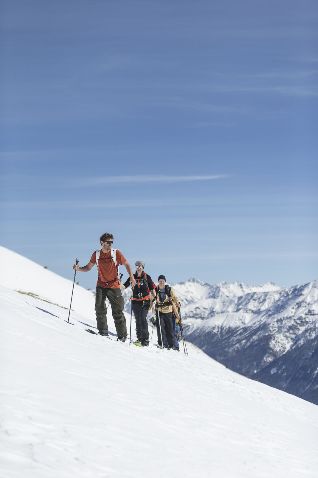
The ascent begins outside Zuoz in the direction of S-chanf, zigzagging up the sunny slope past Munt Prosbierg to the upper hut. There it becomes briefly steep until you reach the ridge to the ski depot....
The ascent begins outside Zuoz in the direction of S-chanf, zigzagging up the sunny slope past Munt Prosbierg to the upper hut. There it becomes briefly steep until you reach the ridge to the ski depot. Piz Griatschouls can then only be reached on foot. The descent follows the ascent track. Only ski down the eastern slope in safe conditions!


Ano
Complete safety equipment (avalanche transceiver, avalanche shovel, avalanche probe, cell phone) and knowledge of correct handling are essential.
The practice of ski touring in open terrain is at your own risk. Every ski tourer is strongly advised to prepare thoroughly, plan their route and obtain up-to-date information on the snow and avalanche situation. Avalanche report and snow information: www.slf.ch
No liability is accepted for accidents resulting from the use of the published information and route details.
In case of doubt, accompaniment by an experienced mountain guide is strongly recommended: www.govertical-mountainguides.ch
PD+
Piz Griatschouls can also be reached from the Albanas mountain station. Buy a ski tour ticket!
Webové kamery z prohlídky
Získejte přehled
Vždy živě na místě s více než 9 500 webkamerami. bergfex Jako uživatel Pro si nyní můžete zobrazit odpovídající webové kamery pro mnoho prohlídek v aplikaci prohlídky z. Můžete si tak přímo prohlédnout aktuální podmínky.
Oblíbené prohlídky v okolí
-
4.8
Circular hike Val Trupchun in the Swiss National Park
středníTuristika 13.8 km -
5.0
Muottas Muragl - Segantini hut - Pontresina
středníTuristika 6.46 km -
4.4
Panoramic route Muottas Muragl
světloTuristika 6.75 km -
Muottas Muragl - Segantini Hütte - Pontresina
středníTuristika 17.5 km -
5.0
Lej Muragl
středníTuristika 7.39 km -
4.6
Marathon
středníBěh na lyžích 42.9 km -
5.0
Alp Languard - Paradis Hut - Pontresina
světloTuristika 7.05 km -
Flüelapass – Schwarzhorn (return)
středníTuristika 7.92 km -
4.8
Alp Languard - Segantini Hut - Muottas Muragl
středníTrailrunning 6.45 km -
4.5
Muottas Muragl - Fuorcla Muragl - Val Chamuera
středníTuristika 17.6 km

Pěší turistika a stopování


Nenechte si ujít nabídky a inspiraci pro vaši příští dovolenou
Vaše e-mailová adresa byl přidán do poštovního seznamu.





