






Cuvers: the solitary ski route from Zignau
Úroveň obtížnosti: PD+
From Zignau (879 m above sea level) it starts soon behind the village. You can calmly walk in via the alp road. You repeatedly come out of the forest and continue uphill across larger forest clearings....
From Zignau (879 m above sea level) it starts soon behind the village. You can calmly walk in via the alp road. You repeatedly come out of the forest and continue uphill across larger forest clearings. At Stavel la Platta you are already almost 1000 meters higher than at the start. In the area of Alp Nadels Dadens, you can rest a bit on the plateau before reaching the final slope of the summit ascent at Cauma. This NE slope becomes increasingly steeper and must be well assessed. After about 400 meters of elevation gain, the broad summit ridge will soon come into view. The view of the Tödi group and countless other peaks is very impressive.
The descent takes place via the ascent route.

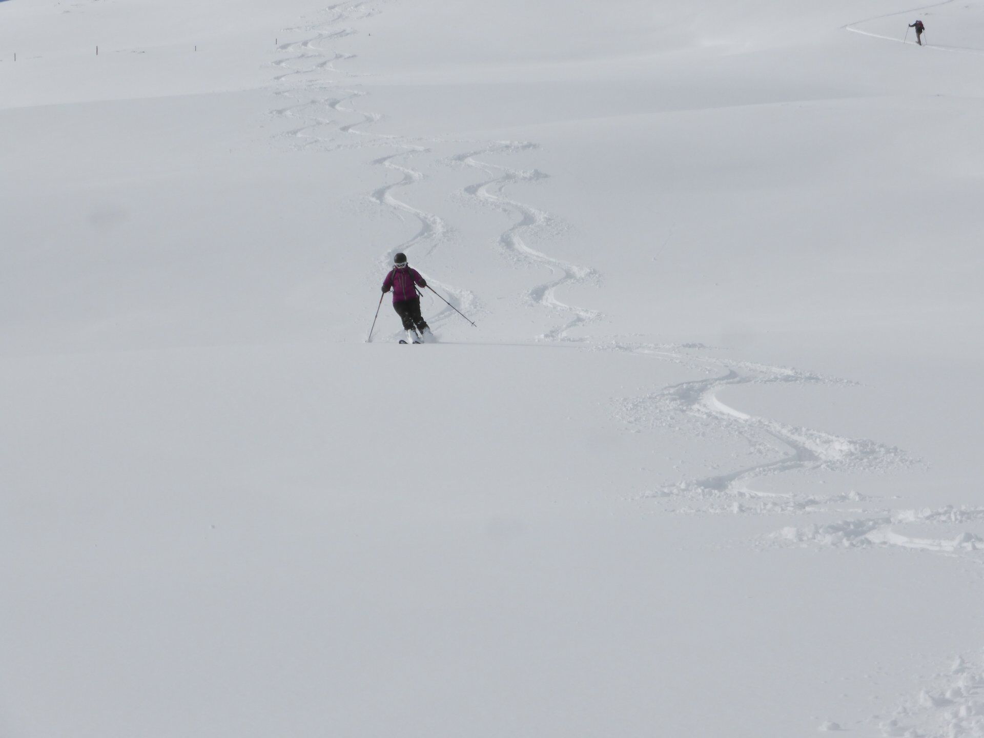
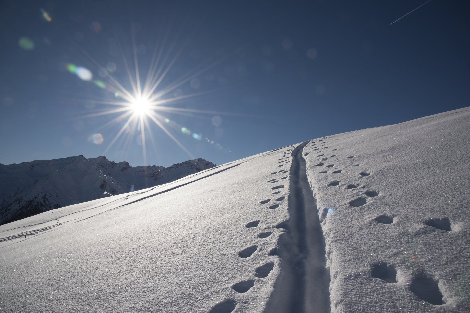
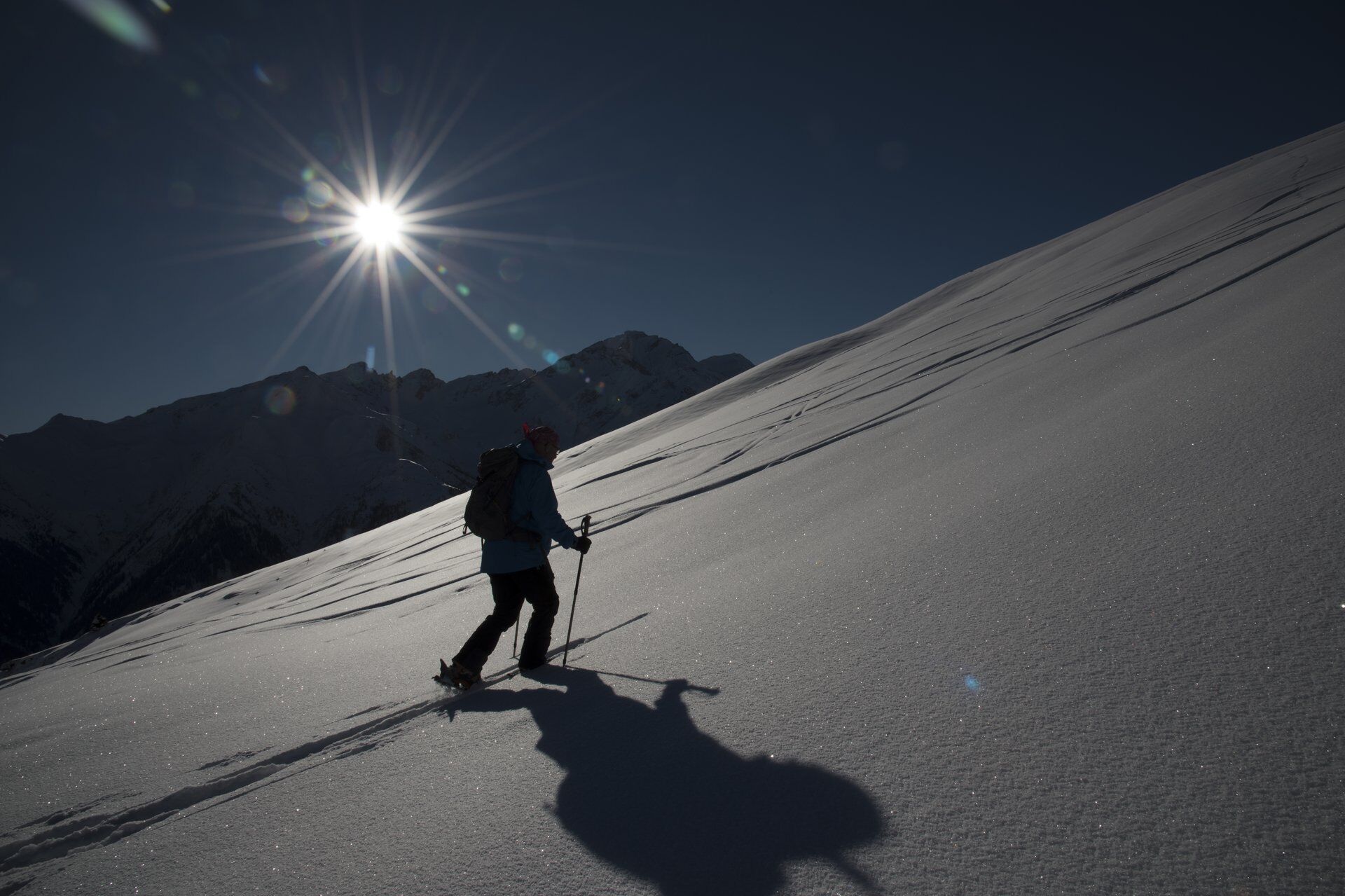
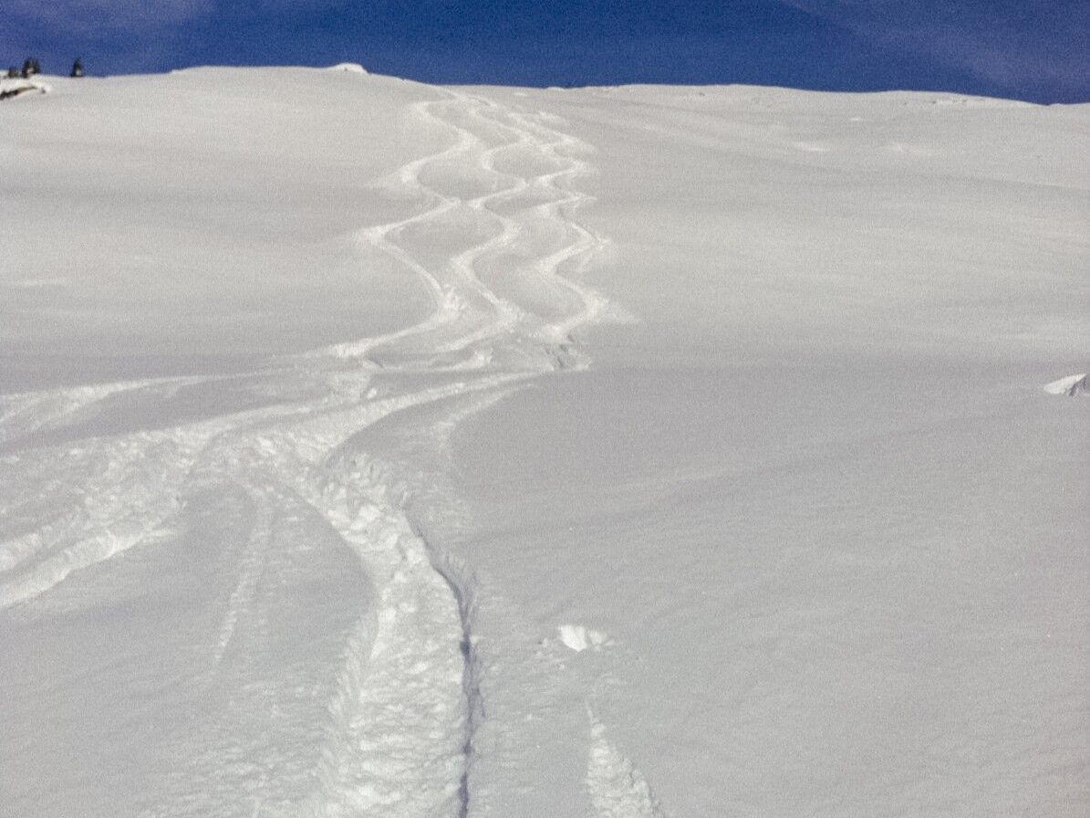

Zignau-Sur Plattas-Acla Marin-Rost-Alp Nadels-Cauma-Summit-Descent via the ascent route
Ano
Ano
See safety notes
Ski and snowshoe routes in unsecured terrain require good knowledge of avalanche risk assessment and route planning. Furthermore, a complete safety equipment must always be carried – regardless of the current avalanche danger.
We recommend the APP and WhiteRisk website for preparation and planning of the route.
For carefree enjoyment, we recommend our mountain guides and snowshoe hiking leaders of Surselva.
From Ilanz or Disentis to just before Zignau. Turn into the village of Zignau at Garage Riedi.
Few offerings and difficult to coordinate with the route.
Limited parking options in the village. Please park considerately.
PD+
The original village of Zignau is unjustly overlooked. Definitely take a look around!
The northern exposure requires a lot of patience after fresh snowfall. In return, you often get the best powder here.
Oblíbené prohlídky v okolí
-
5.0
High valley Val Frisal
heavyTuristika 12.4 km -
5.0
Hiking route Suspension Bridge Val da Tersnaus
středníTuristika 3.24 km -
Sedrun - Segnas - Disentis
světloTuristika 9.77 km -
Panoramic route between Piz Mundaun and Péz Sezner
středníTuristika 6.75 km -
5.0
2-day hike Greina high plateau
středníTuristika 14.9 km -
Piz Terri, 3.149 m
středníVysokohorská turistika 6.92 km -
4.5
Around the Grep da Plaids
středníTuristika 8.05 km -
5.0
Hike Vrin - Uors over the suspension bridge Val da Silgin
středníTuristika 12.3 km -
3.5
Places of Magic - Lumbrein
středníTuristika 8.74 km -
5.0
Disentis - Cavardiras - Cupadials - Sumvitg
světloTuristika 13.7 km
Pěší turistika a stopování


Nenechte si ujít nabídky a inspiraci pro vaši příští dovolenou
Vaše e-mailová adresa byl přidán do poštovního seznamu.





