
Navigace na stránkách
Pořiďte si tuto prohlídku do mobilního telefonu
Mapa
Surselva 4-day circular route with the (E)-bike
střední
Mountainbike
160.04 km
Naskenujte QR kód a spusťte navigaci v aplikaci bergfex.
QR Code
Pěší turistika a stopování

Surselva 4-day circular route with the (E)-bike

Vzdálenost
160.0 km
Doba trvání
21:40 h
Ascent
4925 hm
Hladina moře
669 - 2406 m

Úroveň obtížnosti: S1
Stažení skladby
Mapa
Surselva 4-day circular route with the (E)-bike
střední
Mountainbike
160.04 km

Day 1

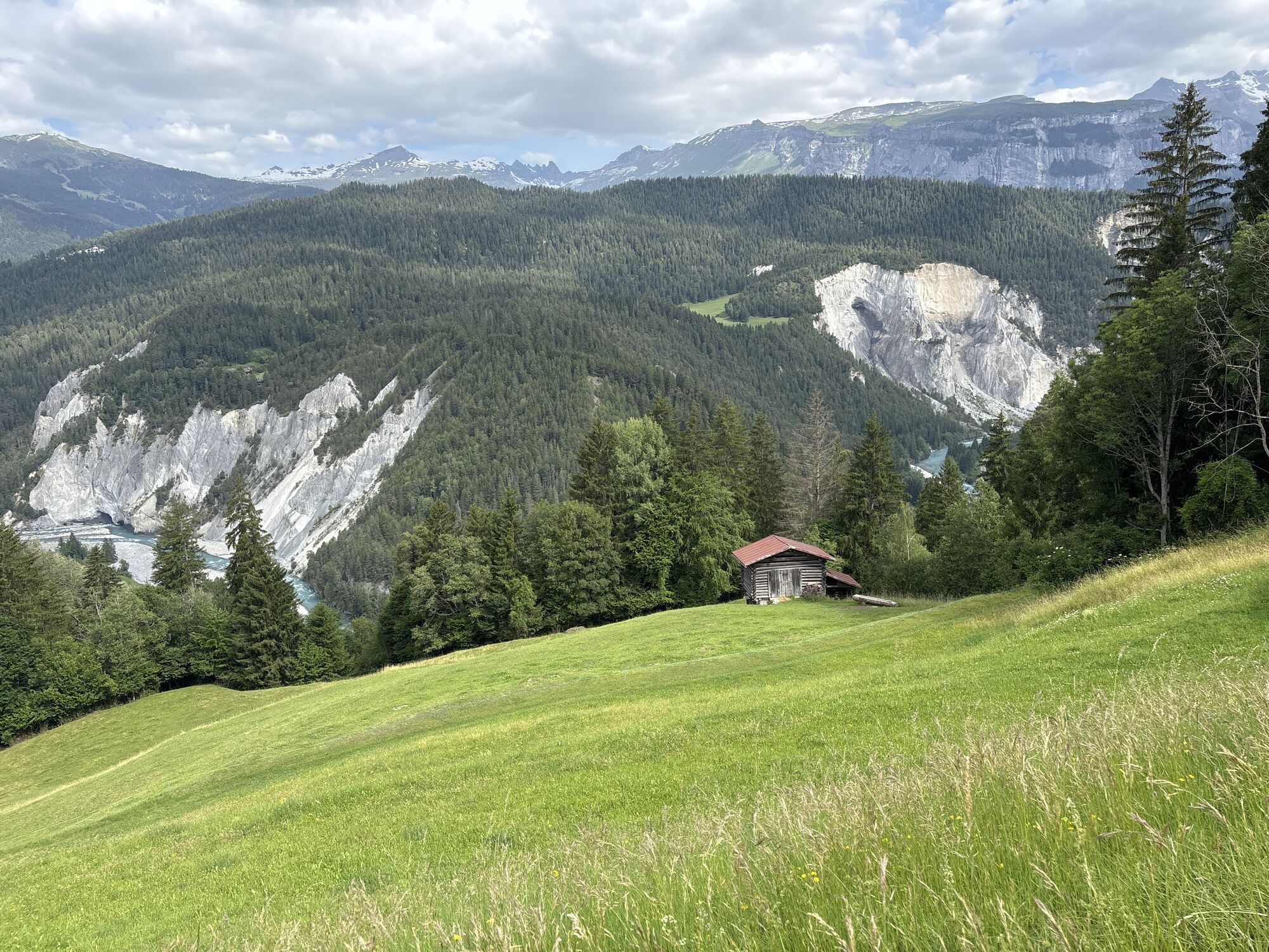
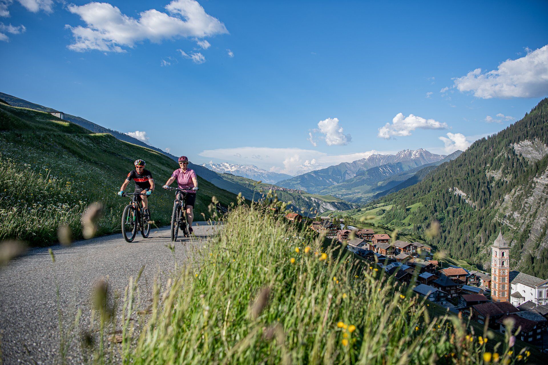
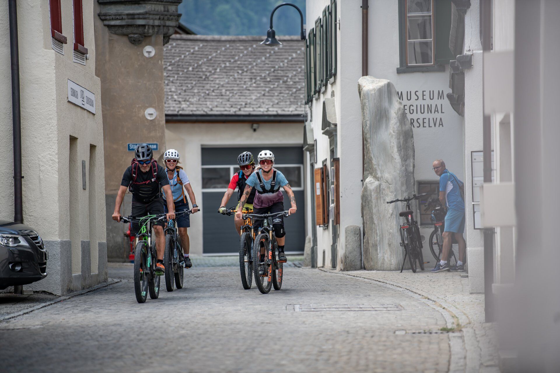
From Ilanz, the first town on the Rhine, you ride more or less leisurely along the Rhine Gorge to Versam on the first day. Then begins the long climb along the valley road into the wildly romantic...

Popis

Day 1

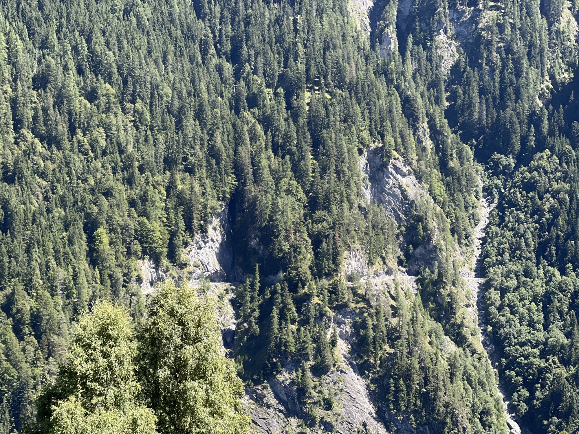
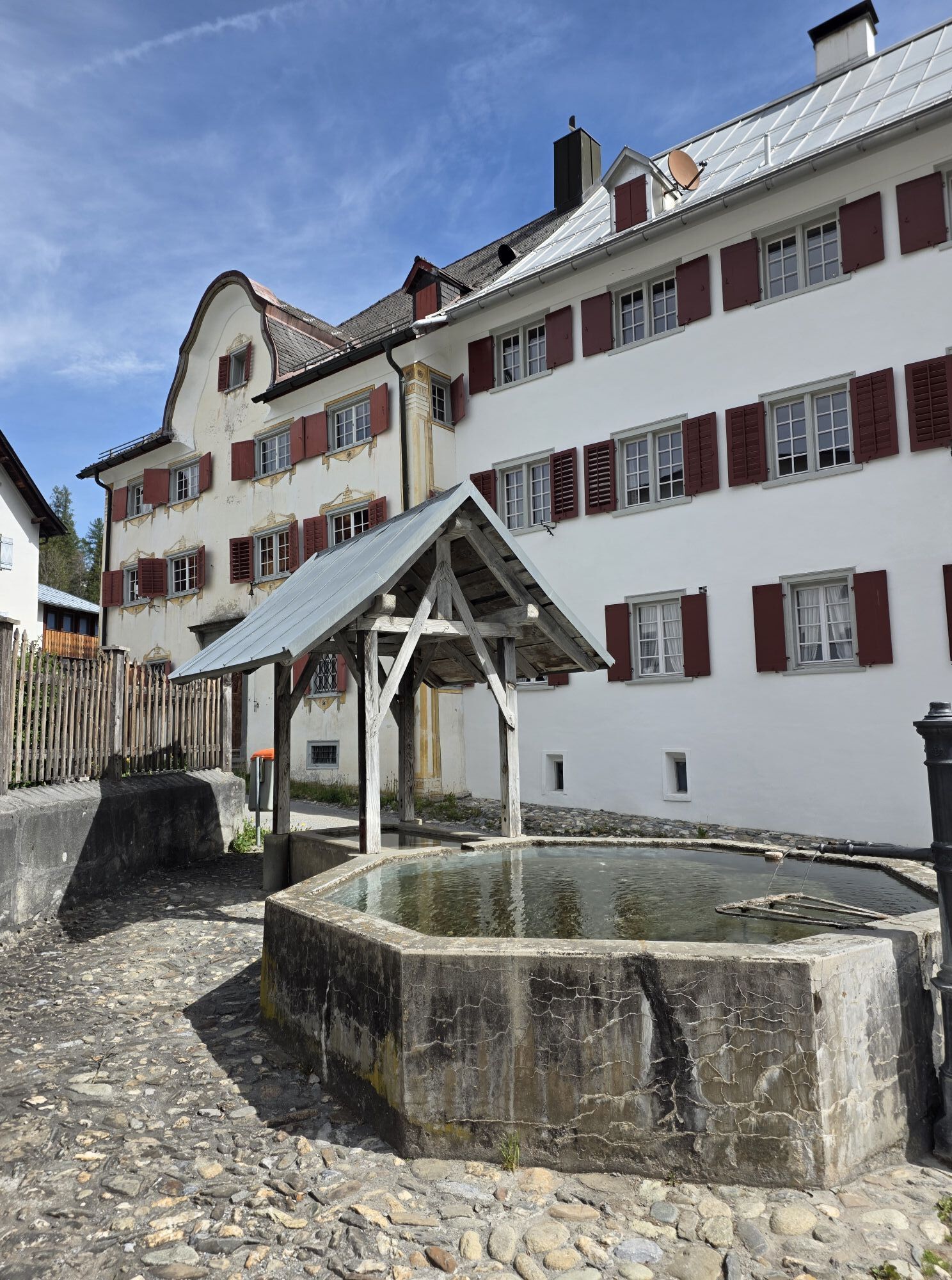
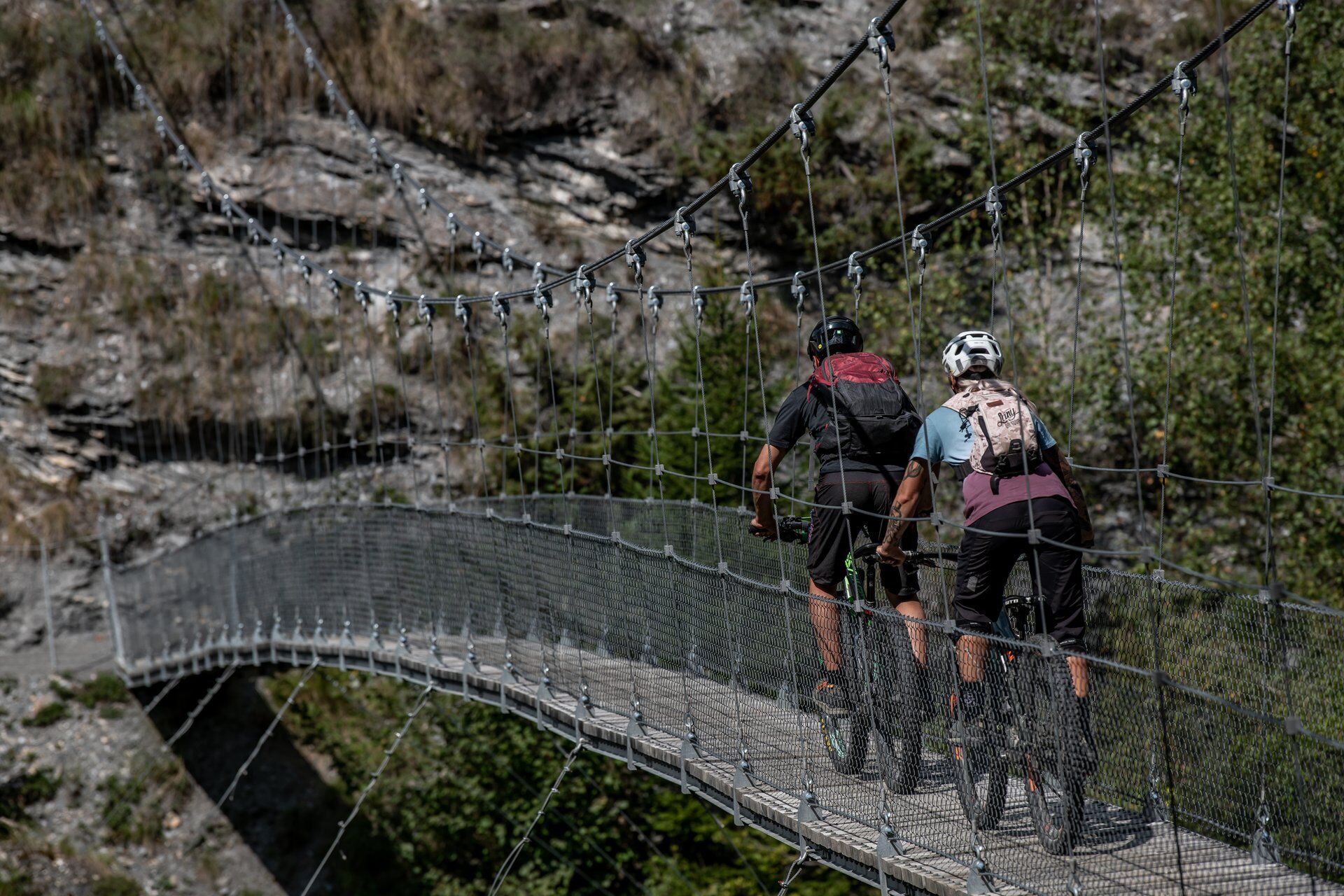
From Ilanz, the first town on the Rhine, you ride more or less leisurely along the Rhine Gorge to Versam on the first day. Then begins the long climb along the valley road into the wildly romantic landscape of Safiental to the stage destination Thalkirch. Don't forget your bike light on this day. The long tunnel and the two galleries urgently need light.

Day 2

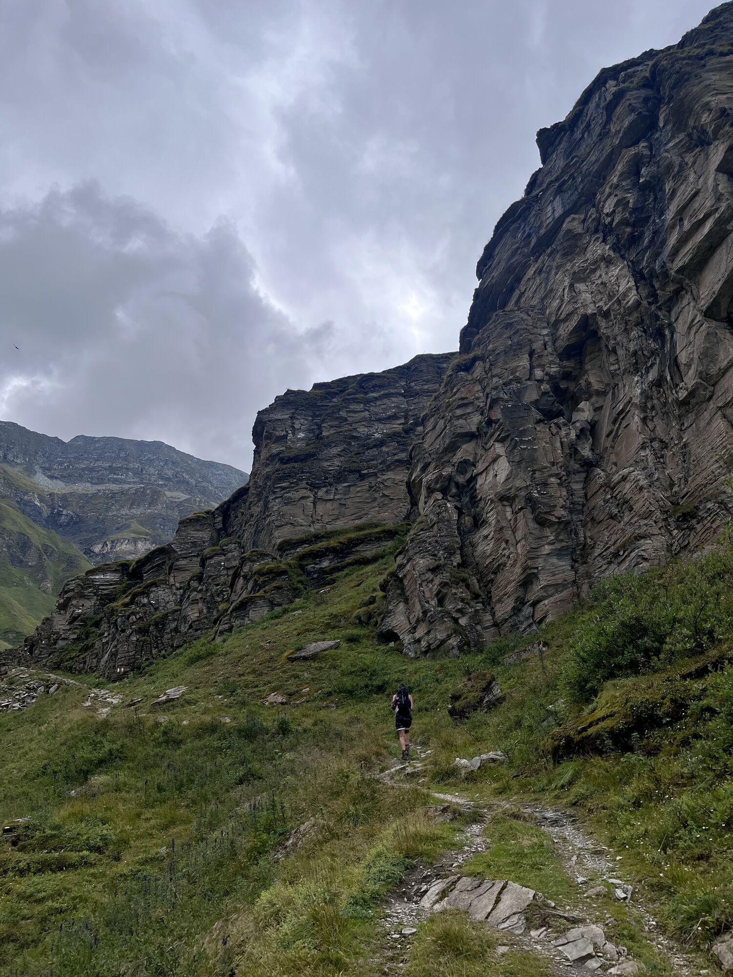
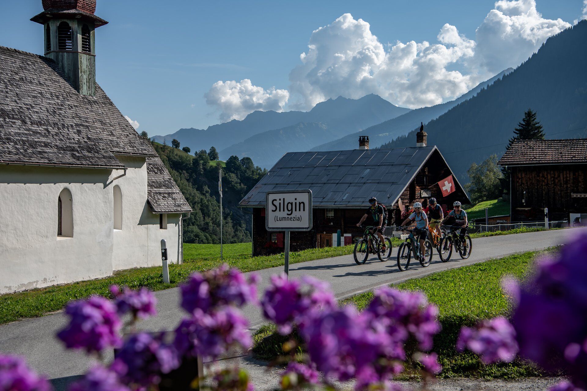
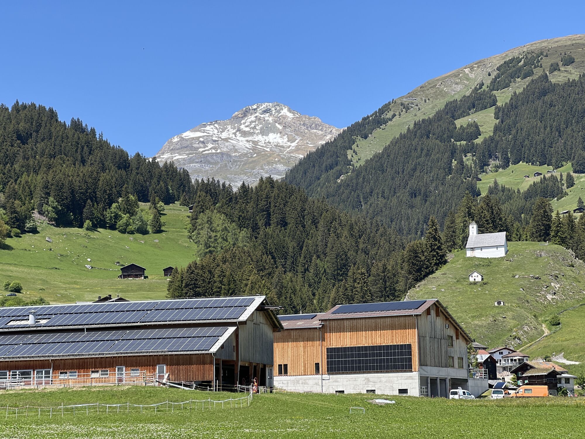
The king stage is on the program for the second day. It goes directly steeply up to the roof of the tour, the Tomülpass. After the partly challenging (S2) descent to Vals you can enjoy a lunch here. Strengthened, you roll on the main road to Uors. Now follows the second climb of the day into Val Lumnezia via bike routes 1 and 222 to Vrin and further over cool trails to the stage destination Lumbrein.

Day 3

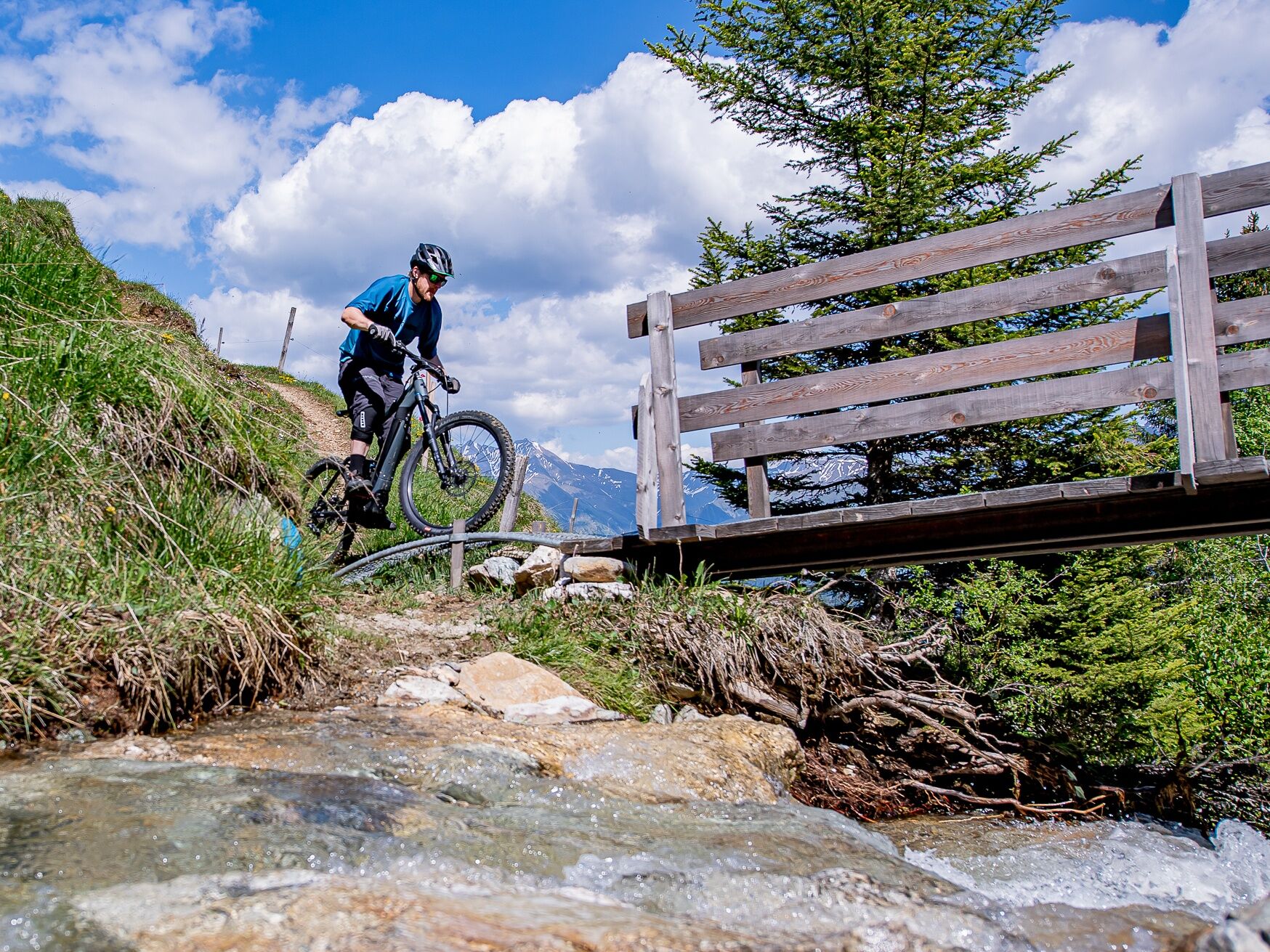
The third day starts again with a climb up to Alp Nova. Unfortunately, warming up is not planned today. On the other side, however, you will be rewarded with a beautiful descent over Obersaxen down to Trun. The climb over Schlans to the stage destination Brigels requires a well-filled battery or strong calves again.

Day 4

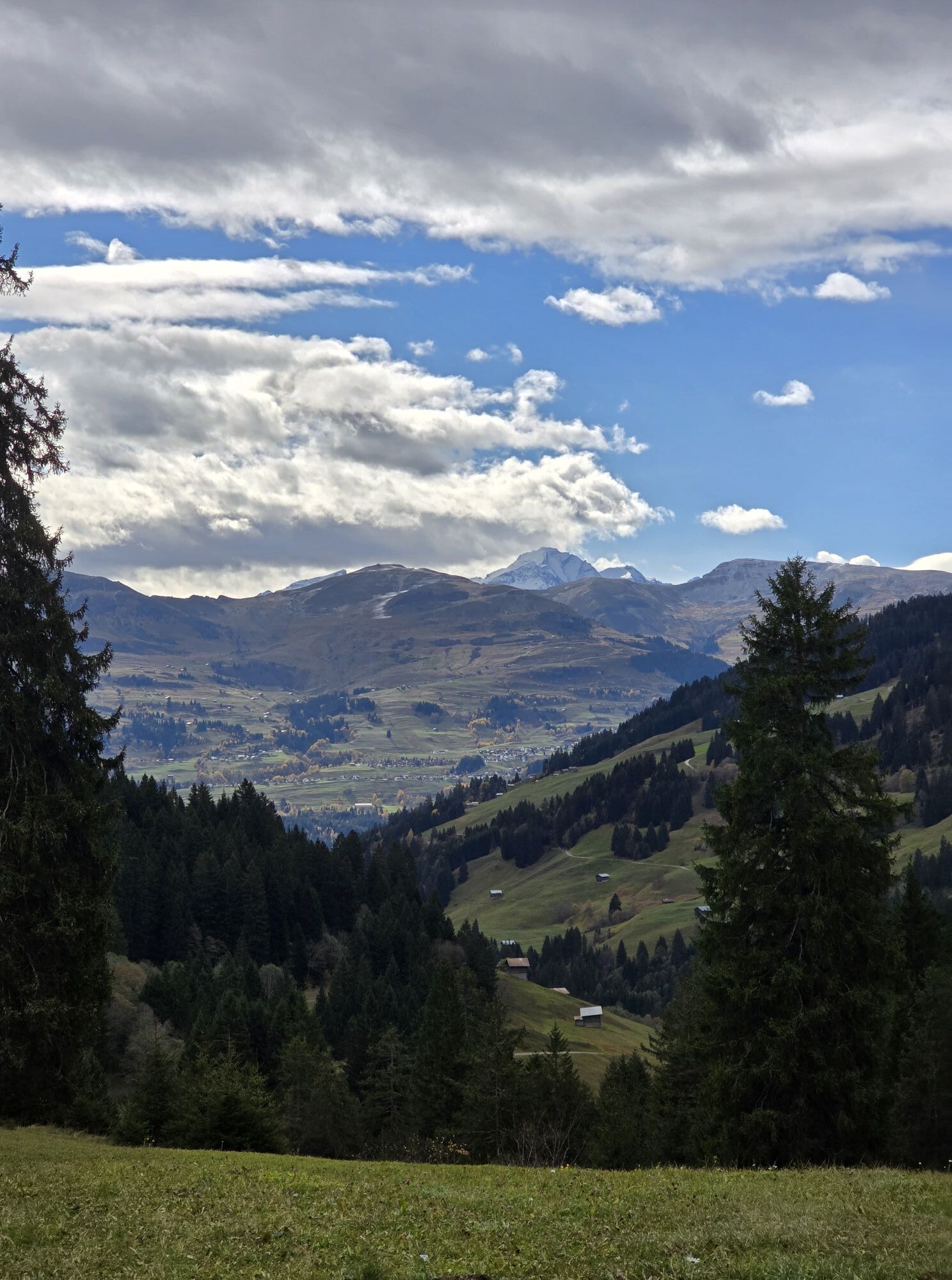
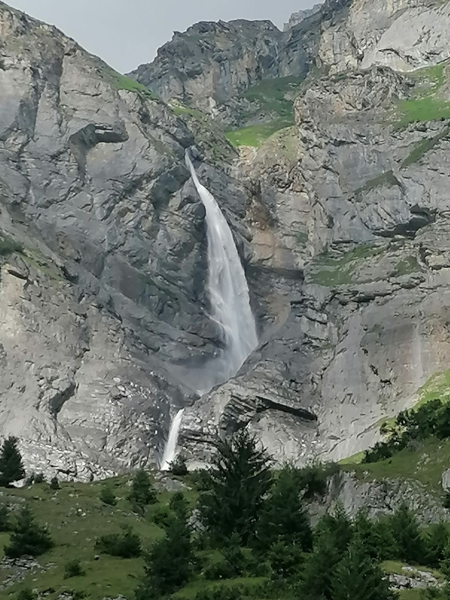
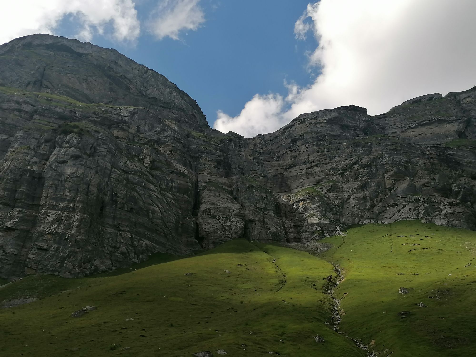
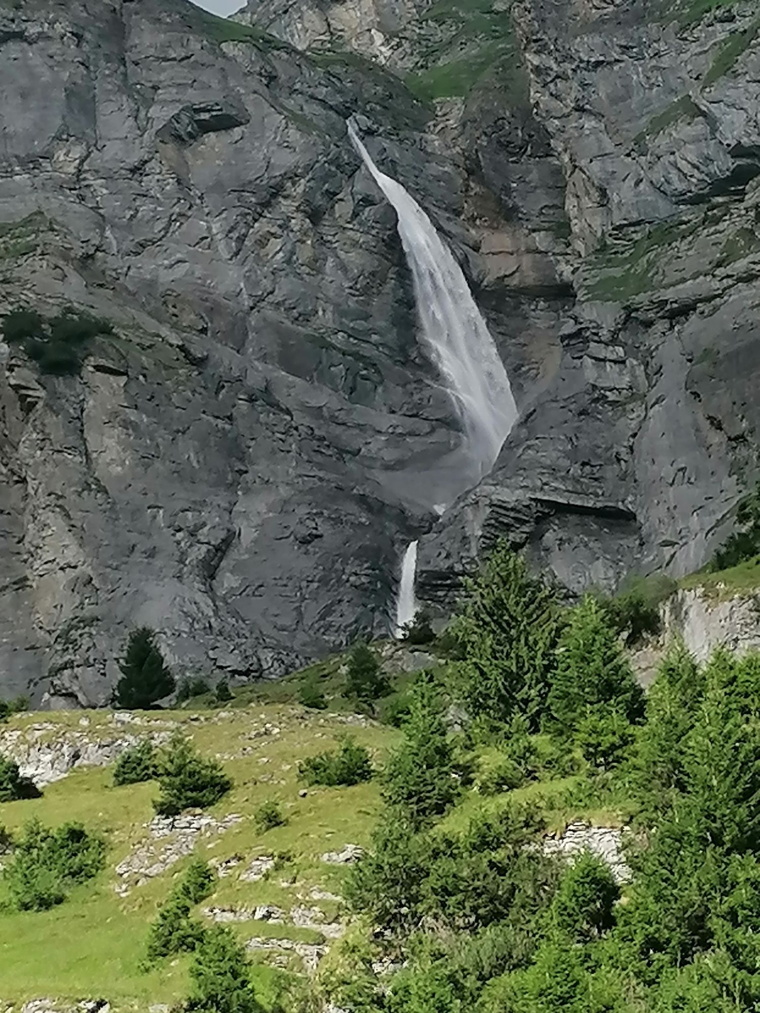
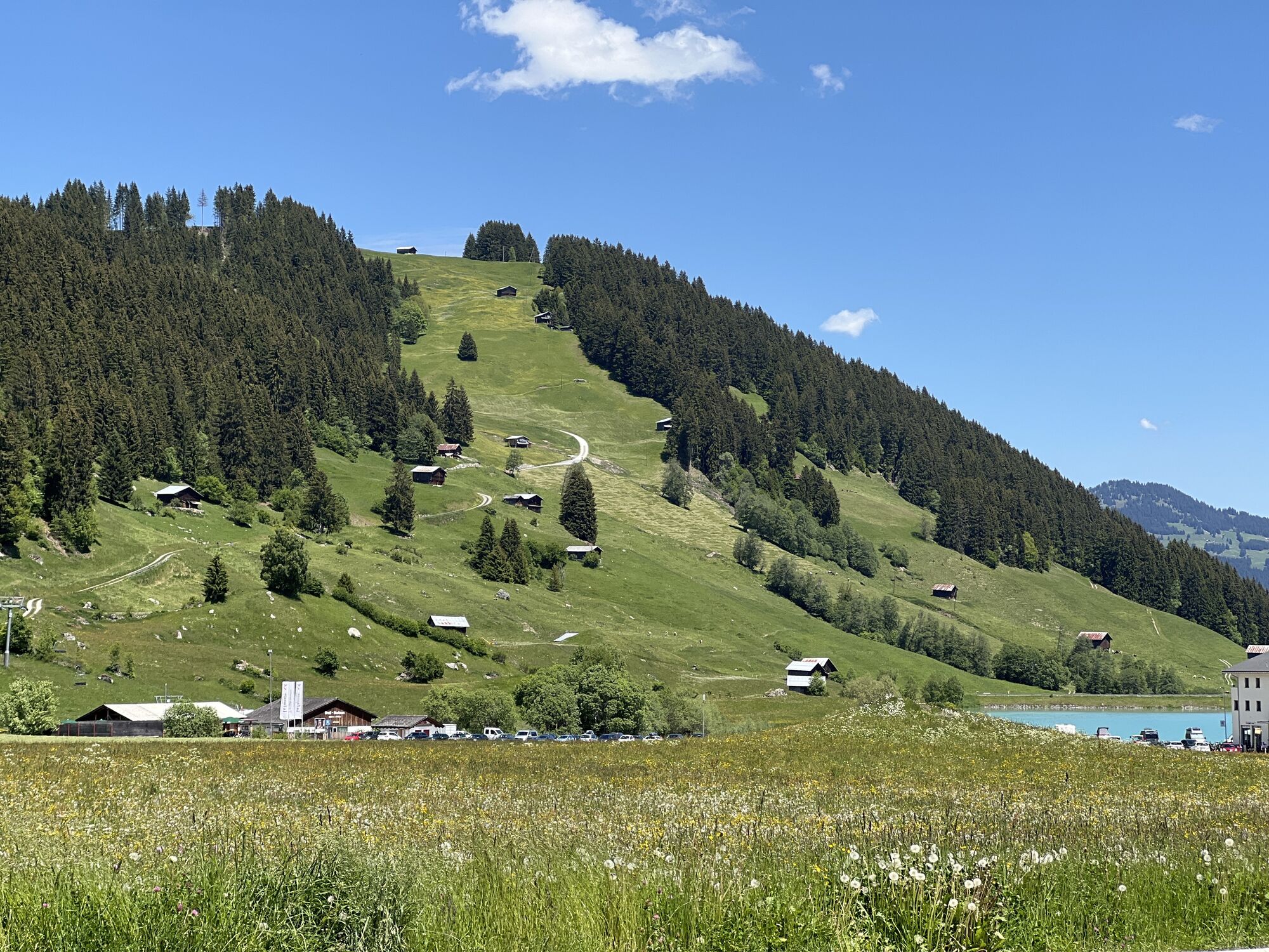
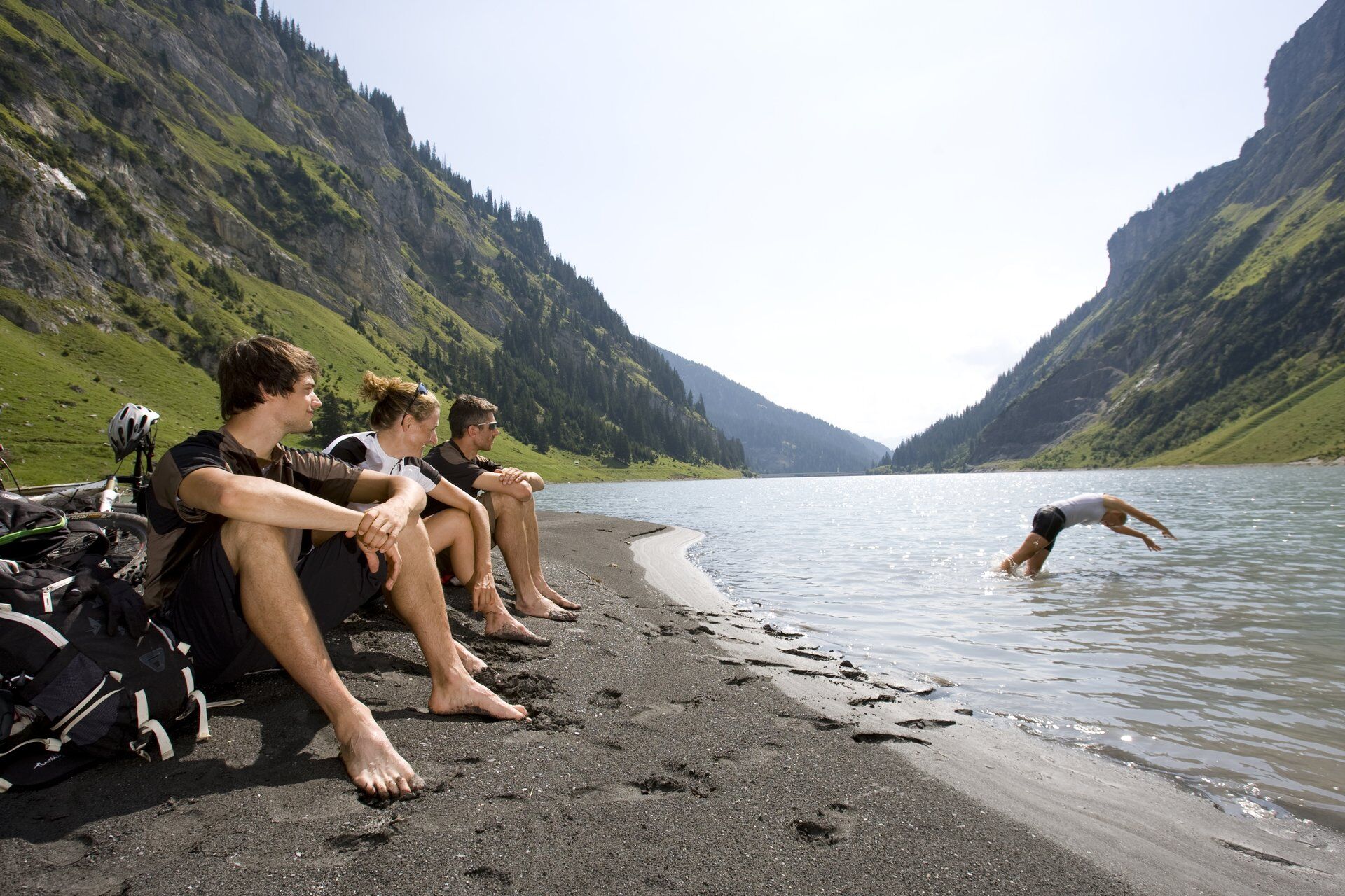
The last day mainly scores with descent meters instead of altitude meters. First, you ride over Andiast to the Lag da Pigniu reservoir with its wonderful waterfalls at the far end. Then you ride via Pigniu to Siat and further to Ruschein. Enjoy the view one last time and then it goes fast on the last descent back to the starting point of this 4-day route in Ilanz. Those who have not had enough can spend the night in the lively small town and undertake more beautiful bike routes or hike through the Rhine Gorge, the Grand Canyon of Switzerland.

Trasa
Reformierte Kirche
(912 m)
Místo konání bohoslužeb
17.6 km
Pfarrkirche St. Peter und Paul
(1252 m)
Místo konání bohoslužeb
60.0 km
Nossadunna e Sogn Gion Battesta
(1447 m)
Místo konání bohoslužeb
82.1 km
Craps
(1456 m)
Sousedství
82.1 km
Baselgia Son Martin
(1413 m)
Místo konání bohoslužeb
90.2 km
Caplutta Sontga Onna
(856 m)
Místo konání bohoslužeb
116.4 km
Sogn Valentin Pigniu
(1301 m)
Místo konání bohoslužeb
145.0 km
Trasa
Mapa
Surselva 4-day circular route with the (E)-bike
střední
Mountainbike
160.04 km
Ilanz/Glion
(698 m)
Železniční stanice
0.0 km
Ilanz
(702 m)
Město
0.1 km
Castrisch
(722 m)
Vesnice
2.1 km
Schluein
(760 m)
Vesnice
4.2 km
Sagogn
(779 m)
Vesnice
6.7 km
Stiva Grischuna
(778 m)
Restaurace
6.8 km
Val Casti
(785 m)
Koridor/terén
7.4 km
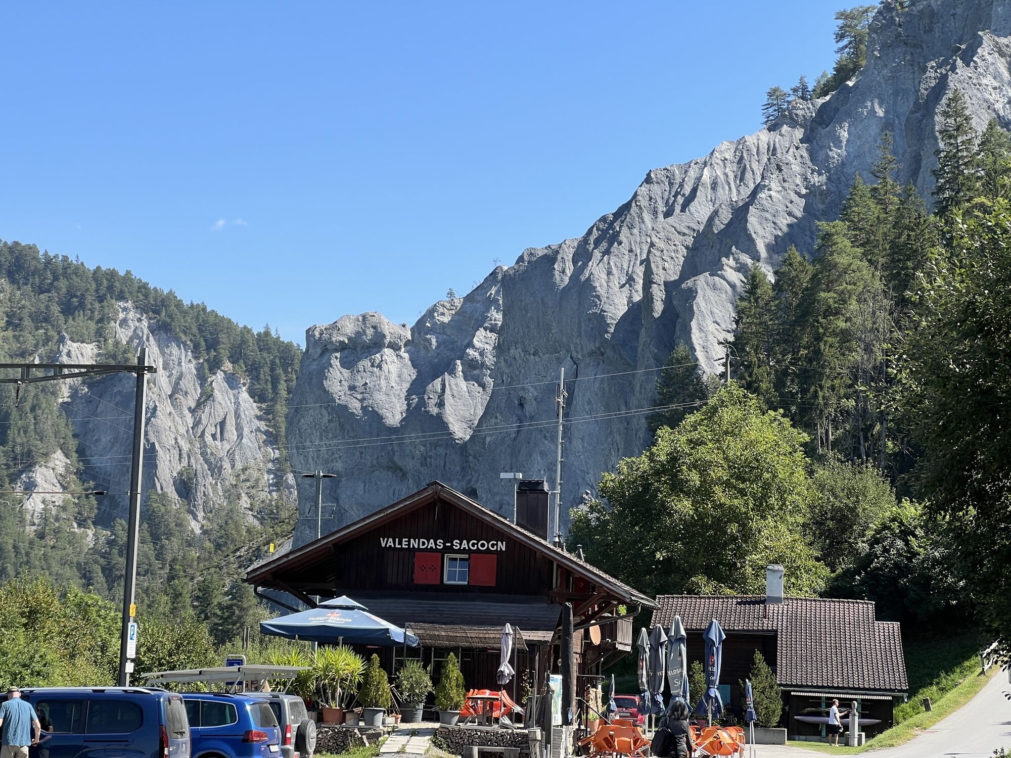
Valendas-Sagogn
(669 m)
Železniční stanice
8.8 km
Valendas
(807 m)
Vesnice
9.9 km
Gasthaus am Brunnen
(812 m)
Restaurace
10.0 km
Carrera
(856 m)
Vypořádání
11.8 km
Reformierte Kirche
(912 m)
Místo konání bohoslužeb
17.6 km
Versam
(906 m)
Vesnice
17.9 km
Rössli
(900 m)
Restaurace
18.1 km
Arezen
(1002 m)
Vesnice
19.5 km
Birchegga
(1139 m)
Koridor/terén
21.5 km
Egschi
(1241 m)
Koridor/terén
26.9 km
Neukirch
(1278 m)
Vypořádání
29.6 km
Nüwchilcha Boda
(1303 m)
Vypořádání
29.6 km
Safien Platz
(1315 m)
Vesnice
33.9 km
Camanaboda
(1766 m)
Vesnice
36.5 km
Mura
(1585 m)
Koridor/terén
36.8 km
Bäch
(1663 m)
Koridor/terén
39.3 km
Kirche Thalkirch
(1684 m)
Místo konání bohoslužeb
40.5 km
Thalkirch
(1686 m)
Vypořádání
40.5 km
Gassli
(1698 m)
Koridor/terén
41.2 km
Gasslihof
(1700 m)
Restaurace
41.2 km
Turra
(1696 m)
Koridor/terén
42.1 km
Pürahütta
(1909 m)
Koridor/terén
44.3 km
Tomülstafel
(2178 m)
Koridor/terén
50.2 km
Schindla-Büdemli
(1938 m)
Koridor/terén
52.9 km
Plansch
(1411 m)
Koridor/terén
57.8 km
Balma
(1264 m)
Sousedství
59.5 km
Peilerbrücke
(1264 m)
Sousedství
59.5 km
Peilerbach
(1258 m)
Sousedství
59.6 km
Glüs
(1261 m)
Sousedství
59.8 km
Sagabüel
(1259 m)
Sousedství
59.8 km
Chalchofa
(1257 m)
Sousedství
59.9 km
Furra
(1260 m)
Sousedství
60.0 km
Wisshus
(1254 m)
Sousedství
60.0 km
Vals
(1252 m)
Vesnice
60.0 km
Treua
(1255 m)
Sousedství
60.0 km
Pfarrkirche St. Peter und Paul
(1252 m)
Místo konání bohoslužeb
60.0 km
Brücke
(1259 m)
Sousedství
60.1 km
Tjos
(1250 m)
Sousedství
60.2 km
Forellenbach
(1253 m)
Sousedství
60.3 km
Im Boda
(1246 m)
Sousedství
60.4 km
Rutsche
(1252 m)
Dětské hřiště
60.8 km
Cartüra
(1251 m)
Sousedství
60.9 km
Zarneis
(1243 m)
Sousedství
61.5 km
Walki
(1261 m)
Sousedství
61.7 km
Kapelle St. Nikolaus
(1257 m)
Místo konání bohoslužeb
62.2 km
Tüfelstei
(1198 m)
Koridor/terén
62.8 km
Bucarischuna
(1190 m)
Koridor/terén
64.5 km
St. Martin (Lugnez)
(1003 m)
Vypořádání
67.6 km
Neua Gaga
(1007 m)
Koridor/terén
68.0 km
Mattelte
(993 m)
Koridor/terén
68.2 km
Prau Bi
(989 m)
Koridor/terén
68.4 km
Sontga Catrina
(1017 m)
Místo konání bohoslužeb
69.3 km
Tersnaus
(1066 m)
Vesnice
69.5 km
Uors
(905 m)
Vesnice
70.7 km
Surcasti
(983 m)
Vypořádání
71.7 km
Silgin
(1232 m)
Vypořádání
77.2 km
Camenisch
(1236 m)
Restaurace
77.3 km
Pruastg Dado
(1257 m)
Vypořádání
78.2 km
Pruastg Dadens
(1257 m)
Vypořádání
78.8 km
Baselgia s.Clau e s.Onna
(1292 m)
Místo konání bohoslužeb
79.6 km
Surin
(1288 m)
Vypořádání
79.7 km
Sut Vitg
(1433 m)
Sousedství
81.9 km
Plaz Scola
(1453 m)
Sousedství
82.0 km
Ravinal
(1448 m)
Sousedství
82.0 km
Nossadunna e Sogn Gion Battesta
(1447 m)
Místo konání bohoslužeb
82.1 km
Craps
(1456 m)
Sousedství
82.1 km
Dadens Fontauna
(1449 m)
Sousedství
82.1 km
Sumbegl
(1459 m)
Sousedství
82.1 km
Giudem Vitg
(1443 m)
Sousedství
82.1 km
Plaz Cadruvi
(1446 m)
Sousedství
82.2 km
Ustria dalla Posta
(1449 m)
Restaurace
82.2 km
Vrin
(1468 m)
Vesnice
82.2 km
Plaz Posta
(1449 m)
Sousedství
82.2 km
Dado Baselgia
(1450 m)
Sousedství
82.2 km
Miez Vitg
(1460 m)
Sousedství
82.3 km
Furnagl
(1459 m)
Sousedství
82.4 km
Crusch
(1476 m)
Sousedství
82.4 km
Cudiala
(1455 m)
Sousedství
82.5 km
Vrin Dado
(1450 m)
Sousedství
82.8 km
Vardons
(1495 m)
Sousedství
82.9 km
Nussaus
(1453 m)
Vypořádání
85.8 km
Sogn Andriu
(1430 m)
Vypořádání
86.7 km
Caltgera
(1443 m)
Koridor/terén
89.9 km
Lumbrein
(1405 m)
Vesnice
89.9 km
Vigela
(1419 m)
Sousedství
90.1 km
Dual
(1417 m)
Sousedství
90.1 km
Sum Vitg
(1428 m)
Sousedství
90.1 km
Baselgia
(1409 m)
Koridor/terén
90.1 km
Buortga
(1415 m)
Sousedství
90.1 km
Clavau Vintschegn
(1390 m)
Sousedství
90.1 km
Sassegl
(1412 m)
Sousedství
90.2 km
Baselgia Son Martin
(1413 m)
Místo konání bohoslužeb
90.2 km
Fuorn
(1410 m)
Sousedství
90.2 km
Fontauna
(1408 m)
Sousedství
90.2 km
Sur Baselgia
(1415 m)
Sousedství
90.2 km
Trancauna
(1395 m)
Sousedství
90.2 km
Sut Baselgia
(1401 m)
Sousedství
90.2 km
Nossadunna
(1404 m)
Sousedství
90.2 km
Dado Baselgia
(1408 m)
Sousedství
90.2 km
Sut Vitsch
(1395 m)
Sousedství
90.2 km
Maus
(1400 m)
Sousedství
90.2 km
Curtgin Grond
(1418 m)
Sousedství
90.3 km
Plaun
(1430 m)
Sousedství
90.4 km
Las Fueinas
(1428 m)
Sousedství
90.4 km
La Ruosna
(1406 m)
Sousedství
90.5 km
Fuormas
(1423 m)
Sousedství
90.6 km
Schlareins
(1695 m)
Koridor/terén
93.0 km
Alp Sezner
(1996 m)
Vypořádání
96.8 km
Alp Nova
(2077 m)
Vypořádání
98.3 km
Alp Nall
(2007 m)
Vypořádání
99.4 km
Alp Prada
(1969 m)
Vypořádání
100.6 km
Riti
(1431 m)
Koridor/terén
107.3 km
Friggahüs
(1324 m)
Vypořádání
108.1 km
St. Martin
(1340 m)
Vypořádání
108.4 km
Mirer Conrad
(1334 m)
Restaurace
108.4 km
Cazetwald
(1306 m)
Koridor/terén
110.6 km
Zignau
(878 m)
Vesnice
114.5 km
Caplutta Sogn Giusep
(862 m)
Místo konání bohoslužeb
115.6 km
Pizzeria
(849 m)
Restaurace
116.1 km
Trun
(861 m)
Vesnice
116.4 km
Caplutta Sontga Onna
(856 m)
Místo konání bohoslužeb
116.4 km
Chispacius
(1159 m)
Restaurace
118.8 km
Baselgia Sogn Gieri
(1149 m)
Místo konání bohoslužeb
118.8 km
Schlans
(1146 m)
Vesnice
119.0 km
Caplutta Nossa Dunna della Naiv
(1176 m)
Místo konání bohoslužeb
119.1 km
Plaun da Plaids
(1543 m)
Koridor/terén
124.7 km
Sogn Giacun
(1302 m)
Místo konání bohoslužeb
127.9 km
Skilift Schneesportschule Brigels
(1266 m)
Stanice gondoly
128.5 km
Breil/Brigels
(1280 m)
Vesnice
128.5 km
Darums
(1119 m)
Koridor/terén
132.0 km
Ustria Curtginet
(1099 m)
Restaurace
132.1 km
Curtginet
(1102 m)
Vypořádání
132.1 km
Postigliun
(1187 m)
Restaurace
133.3 km
Sur Begls
(1193 m)
Koridor/terén
133.3 km
Kapelle Sogn Antoni von Padua
(1182 m)
Místo konání bohoslužeb
133.4 km
Andiast
(1178 m)
Vesnice
133.6 km
St. Julitta und St. Quiricus
(1163 m)
Místo konání bohoslužeb
133.9 km
Pattadiras
(1284 m)
Koridor/terén
135.2 km
Prauscharun
(1294 m)
Koridor/terén
135.9 km
Tscheppa
(1278 m)
Koridor/terén
136.4 km
Pigniu
(1301 m)
Vesnice
137.0 km
Cuolm Dadens
(1296 m)
Koridor/terén
138.1 km
Casa Vedra
(1333 m)
Sousedství
144.8 km
Sur Vischnaunca
(1320 m)
Koridor/terén
144.8 km
Alpina
(1310 m)
Restaurace
144.9 km
Pigniu
(1301 m)
Vesnice
144.9 km
Sogn Valentin Pigniu
(1301 m)
Místo konání bohoslužeb
145.0 km
Sut Resgia
(1278 m)
Koridor/terén
145.2 km
Valsins Sura
(1221 m)
Koridor/terén
147.8 km
Cuolms Sut
(1375 m)
Koridor/terén
149.3 km
Cuolm Dadens
(1471 m)
Koridor/terén
151.5 km
Dalpaleus
(1412 m)
Koridor/terén
152.1 km
Siat
(1296 m)
Vesnice
153.3 km
Sogn Glieci chapel
(1316 m)
Místo konání bohoslužeb
153.5 km
Ruschein
(1155 m)
Vesnice
156.6 km
Sogn Gieri
(1158 m)
Místo konání bohoslužeb
156.8 km
La Lutta
(728 m)
Koridor/terén
159.4 km
FEG Ilanz
(707 m)
Místo konání bohoslužeb
159.7 km
Ilanz
(702 m)
Město
159.8 km
Informace o prohlídce

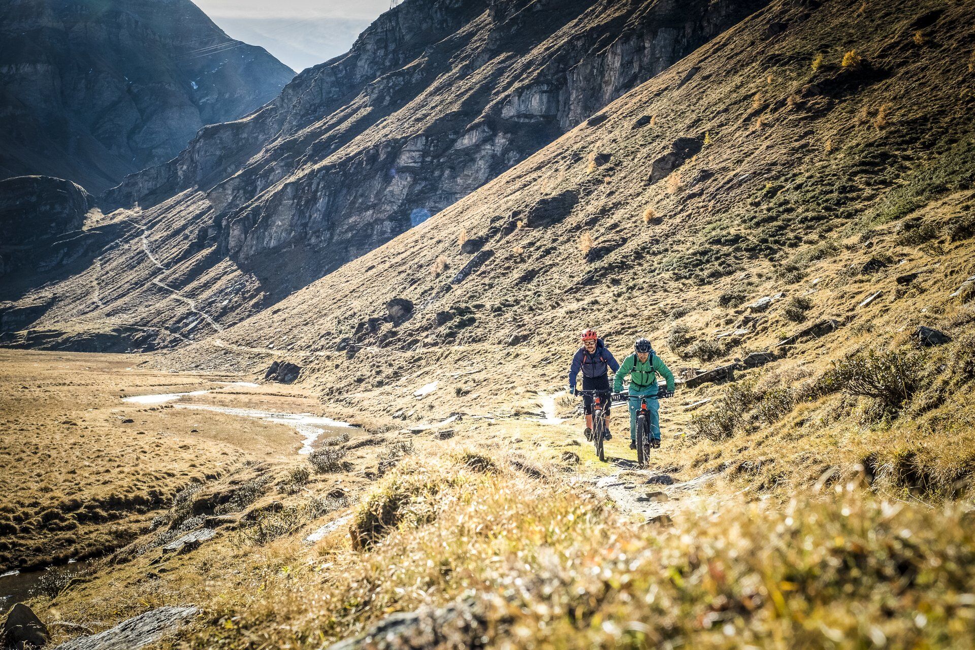
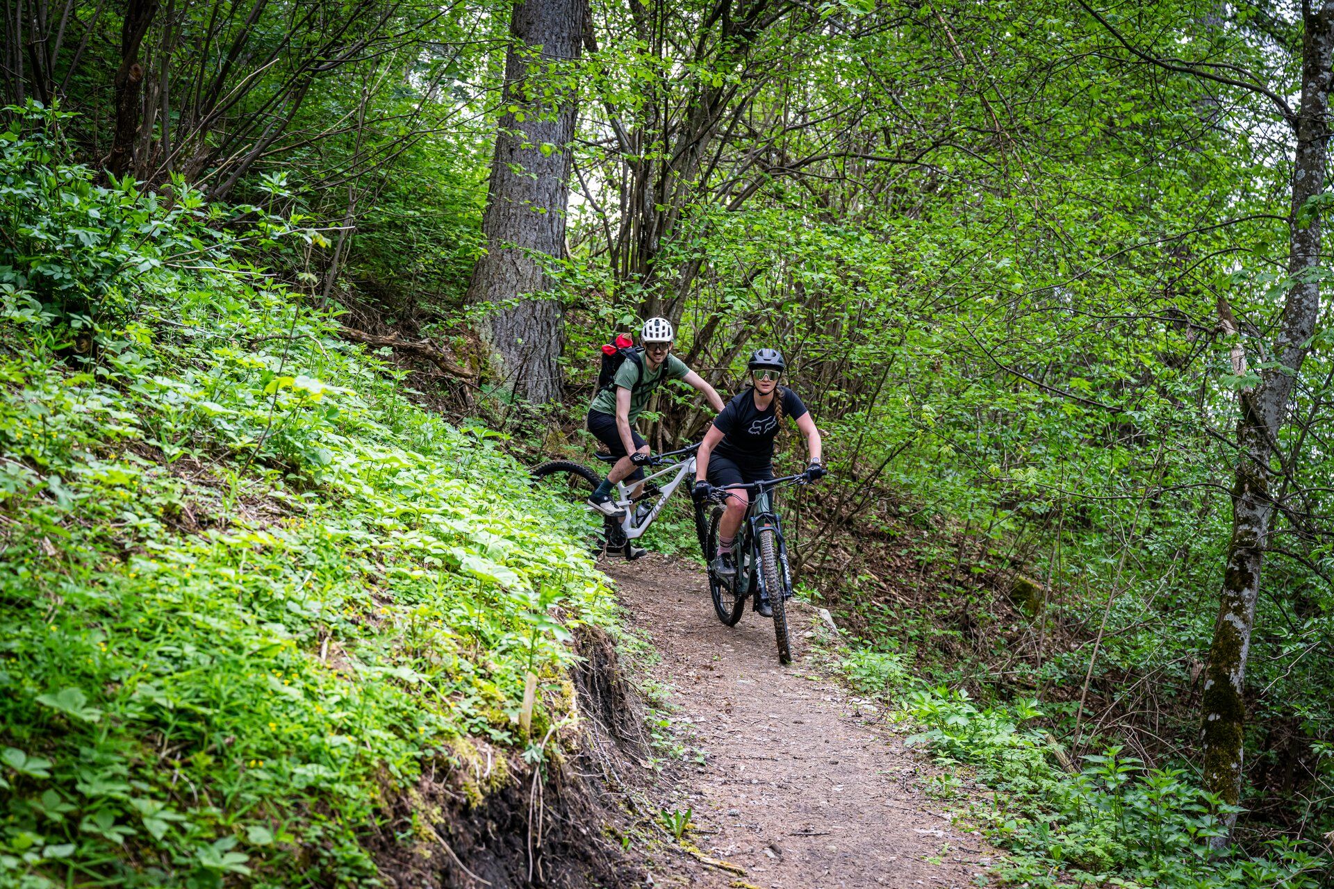
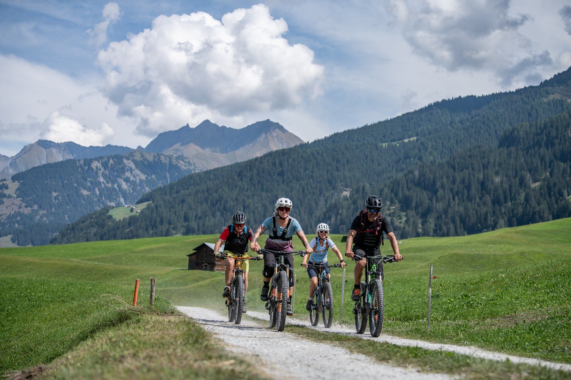
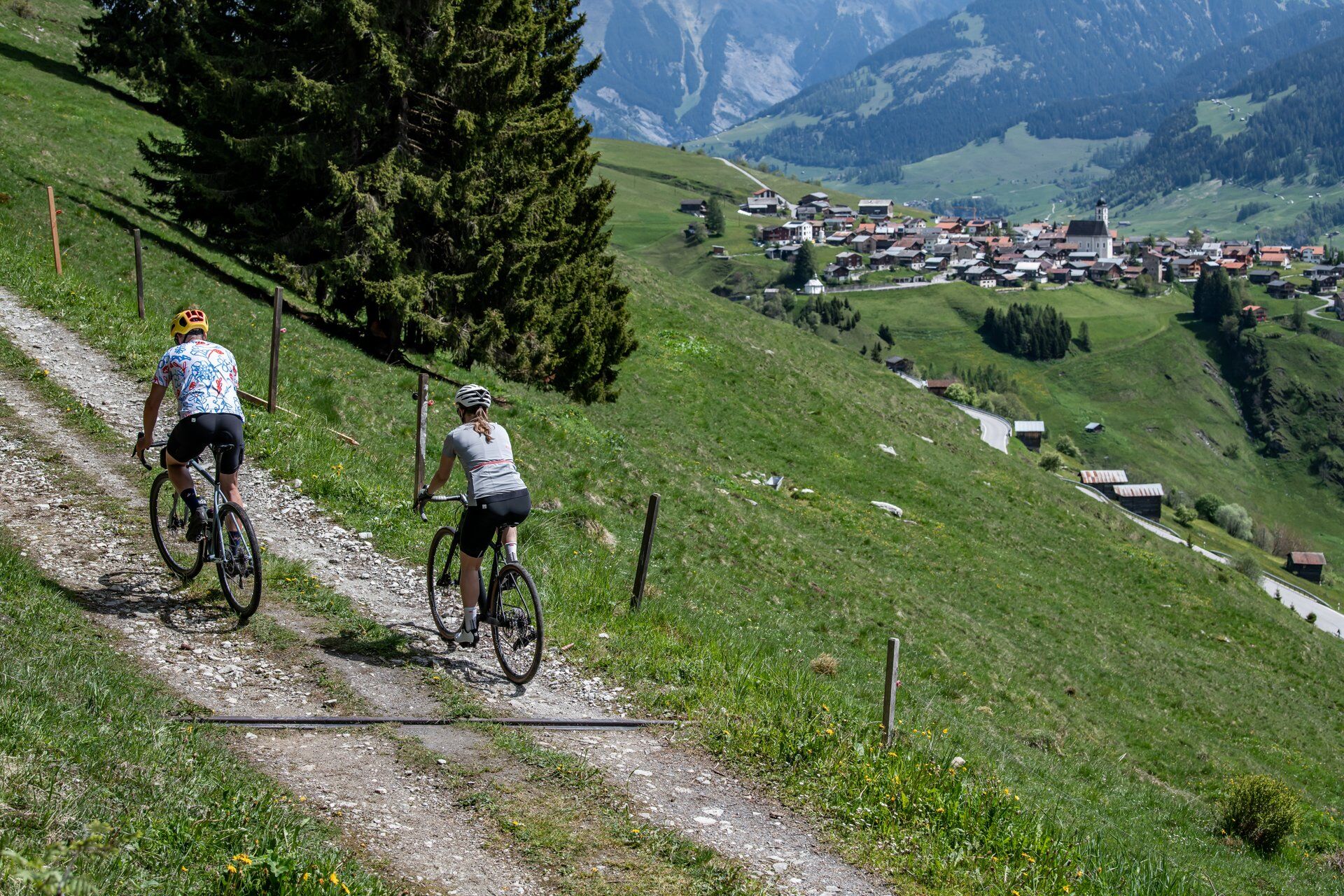
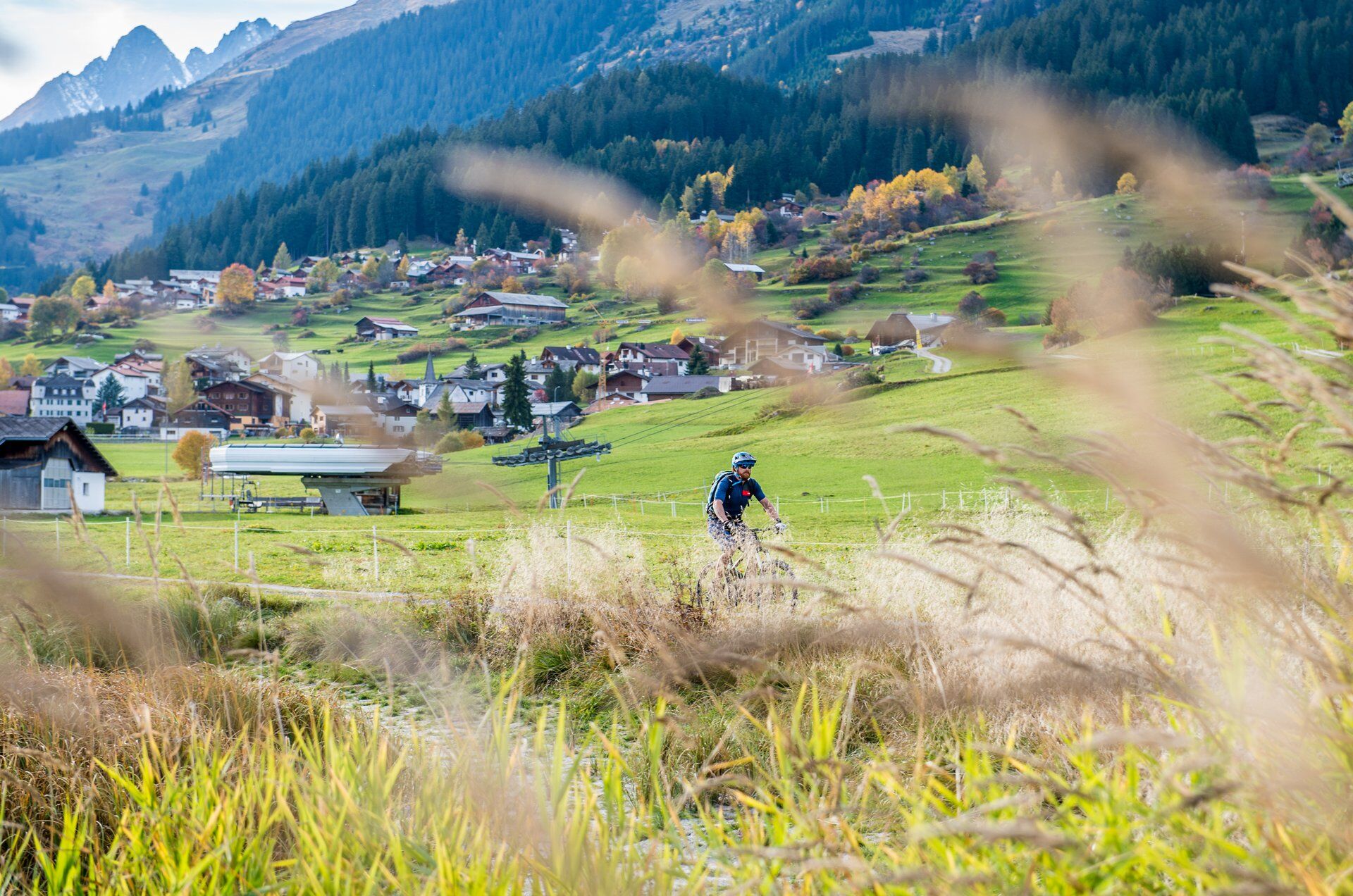
Discover on this circular route the beauty of the side valleys of the Surselva holiday region and experience the classic bike route Tomülpass and many other highlights of the Surselva. The entire route is suitable for E-MTB and MTB.

Charakter trasy
Zkouška
Technologie
2 / 6
Stav
4 / 6
Krajina
6 / 6
Zkušenosti
6 / 6
Nejlepší roční období
Led
Úno
Bře
Dub
Kvě
Čen
Čec
Srp
Zář
Říj
Lis
Pro
Sdílet prohlídku
Mapa
Surselva 4-day circular route with the (E)-bike
střední
Mountainbike
160.04 km
Chyba
Došlo k chybě. Zkuste to prosím znovu.
Informace o trase
Trasa

A large part of this route runs on the signposted mountain bike route «90 Graubünden Bike» (from Safien Platz - Ruschein). Additionally, trails can be ridden or, for simplicity, the road can be taken. Keep checking the map during your ride.

1st stage: Ilanz station - Mulin Sut - Castrisch-Schluein bridge - Schluein - Sagogn - Valendas station - Valendas village - Carrera - Versam - Safien Platz - Safien Thalkirch

1800 m ascent, 880 m descent, 42 km

2nd stage: Thalkirch - Tomülpass - Alp Tomül - Schindlabüdemli (see trail variant from here under author's tip) - Vals - Uors - Surcasti - Silgin - Surin - Vrin - Vallargia - Lumbrein

1800 m ascent, 2100 m descent, 48 km

3rd stage: Lumbrein - Alp Sezner - Alp Nova - Alp Prada (see trail variant from here under author's tip) - Alp Stavonas Sura - Wali - Sassli - St. Martin - Hanschahüs - Zignau - Trun - Schlans - Plaun da Plaids - Brigels

1600 m ascent, 1800 m descent, 38 km

4th stage: Brigels - Waltensburg - Andiast - Lag da Pigniu - Pigniu - Sogn Francestg - Dalpaleus - Siat - Mulin - Ruschein (see trail variant from here under author's tip) - Tischinas - Schnaus - Ilanz

800 m ascent, 1400 m descent, 31 km

Geologické zajímavosti

Ano

Vybavení

E-MTB, helmet, bike gloves, bike shoes, glasses, rain and sun protection, drink, repair kit, first aid kit.

Are you riding with an E-bike? There are various E-mountain bike charging stations on the route where you can recharge your battery.

Attention! Your charging cable may be missing, stolen, or defective. If you want to be on the safe side, we recommend taking your own charging cable. Each charging station also has a normal (CH) triple socket.

Bezpečnostní pokyny

In uncertain weather conditions, the route should not be started. Weather changes in the mountains are frequent. If a rain front or similar arises during the route, you should turn back in good time.

Weather report from SRF Meteo

Informace o příjezdu
Příjezd

Take the A13 to Reichenau, then the main road via Flims or Bonaduz (partly narrow road) to Ilanz.

Veřejná doprava

From the Grisons cantonal capital Chur, it takes only 36 minutes by the Rhaetian Railway through the spectacular Rhine Gorge to Ilanz station.

Timetable

Parkování

Parking is available in Ilanz at the station or nearby.

Další informace a tipy
Úroveň obtížnosti

S1

Další informace

All information on baggage transport can be found here

Please inquire at Eurotrek about partner hotels at the respective stage locations. It is not guaranteed that there is a service.

This is not a package tour bookable as a whole. Hotels and any baggage transport must be booked independently. However, we are happy to assist you with the organization: Surselva Tourism info offices

Filter here the respective stage location and find the suitable hotel.

Tipy

Variants

Day 1

From Carrera, the road to the gravel plant Bärgli can also be taken. The route runs here on the trail (S2).

Day 2

Descent Tomülpass - Vals: After Schnidlabüdemli take the hiking trail to Vals. This is partly quite rough (S2-3). However, you can always switch back to the road. If you have strong calves - or enough battery - you may ride to the village of Tersnaus and then cruise down to Peiden Bad on the new SchweizMobil 222 Nino Schurter Bike route. Officially in the opposite direction, which is not a problem with careful riding. Afterwards, return to the route at Uors via the main road. After Surin, the shortcut can be taken directly via the road (up and down) to the stage destination Lumbrein.

Day 3

From Sassli you can recharge yourself and your battery at the mountain restaurant Wali. Note: the restaurant is closed in 2024 due to renovation.

Day 4

Descent Ruschein - Ilanz: take the road to Ilanz. The trail is mostly fluid to ride (S2).
Zatím žádné recenze
Napište recenzi

Recenze pomáhají ostatním uživatelům při výběru dalšího dobrodružství. Hodnoťte prosím pouze prohlídku, nikoli počasí nebo svačinu.

Výběrem jedné z hvězdiček ohodnotíte prohlídku
Špatné turné
Slabé turné
Průměrné turné
Dobrá prohlídka
Vynikající prohlídka
Pěší turistika a stopování

Pěší turistika a stopování

Pěší turistika a stopování
Více než 550.000 návrhů výletů, podrobné mapy a intuitivní plánovač tras dělají z aplikace nezbytnou výbavu pro všechny milovníky přírody.
bergfex