


90.02 Graubünden Bike Stage 2 Laax - Untervaz
Úroveň obtížnosti: S2


This mountain bike route takes you from Laax to Untervaz through the breathtaking landscape of Graubünden. The route covers a total distance of 54 kilometers and offers a varied mix of asphalt roads, natural...
This mountain bike route takes you from Laax to Untervaz through the breathtaking landscape of Graubünden. The route covers a total distance of 54 kilometers and offers a varied mix of asphalt roads, natural paths, and exciting single trails.
The starting point is the picturesque Laax, a popular destination for outdoor enthusiasts. From here, you first pass through Conn, where you can enjoy the beauty of alpine landscapes. The route then leads to Cresta Lake, an idyllic mountain lake perfect for a short break and to relax.
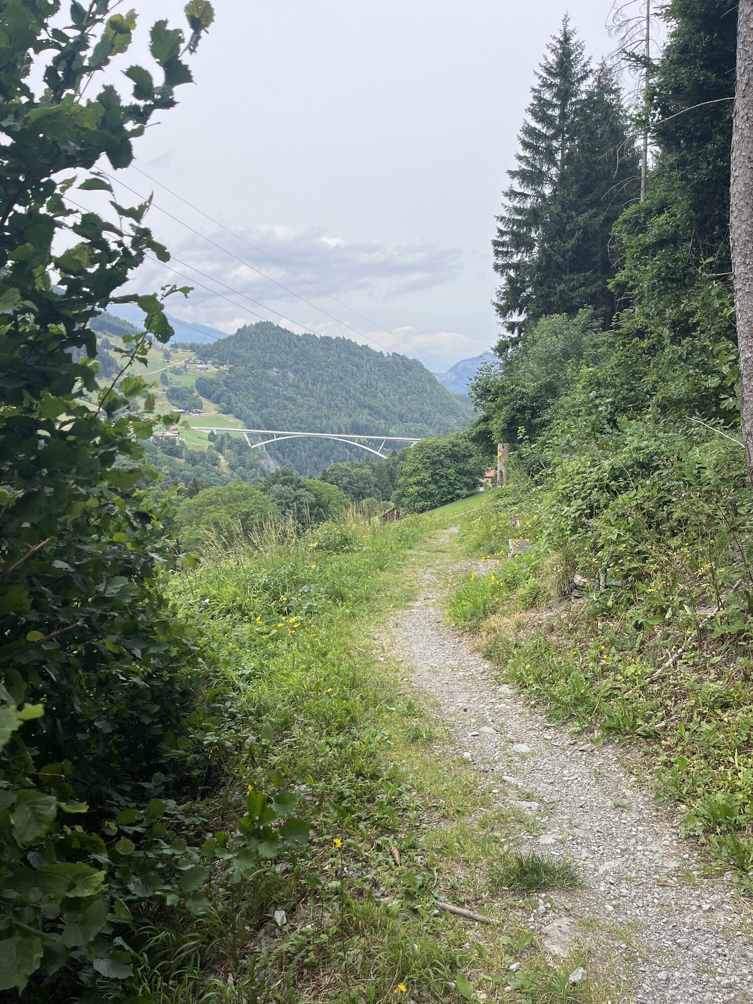
After a refreshing pause, you continue your ride to Trin Mulin. Here begins the exciting part of the route, as you now ride on trails taking you through untouched nature. The single trails offer an intense riding experience and challenge your skills on the bike.
The next section leads you to Tamins, where you conquer a climb to the Kunkelspass. This ascent rewards you with spectacular views of the surrounding mountains and valleys – an unforgettable experience for every mountain bike enthusiast.
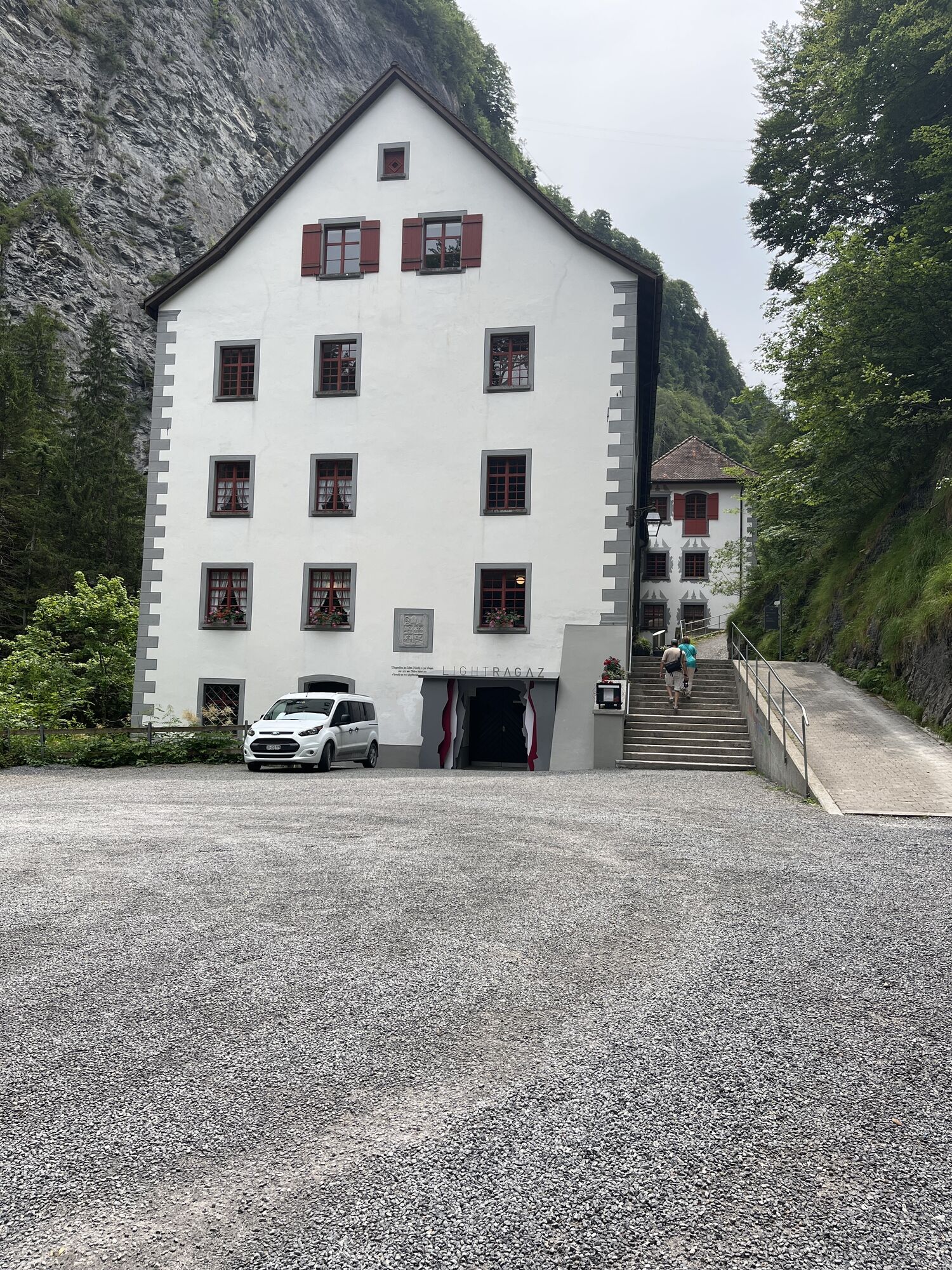
From there you descend through the high valley, past Mapargg Lake and through St. Margrethenberg. The descent offers high speeds and thrills on trails and alpine roads that lead you all the way to Untervaz.
Untervaz marks the end of this adventurous route, where you cover a total of 1,600 meters in ascent and 2,100 meters in descent. After an action-packed day on the bike, you can relax here and reflect on the day’s experiences.
Please note that this route requires some mountain biking experience and participants should wear appropriate protective gear. Also, respect nature and leave no trace to preserve the beauty of the landscape for future generations.


Laax - Trin Mulin - Trin Digg - Tamins - Kunkelspass - Taminatal - St. Margretenberg - Untervaz
S2
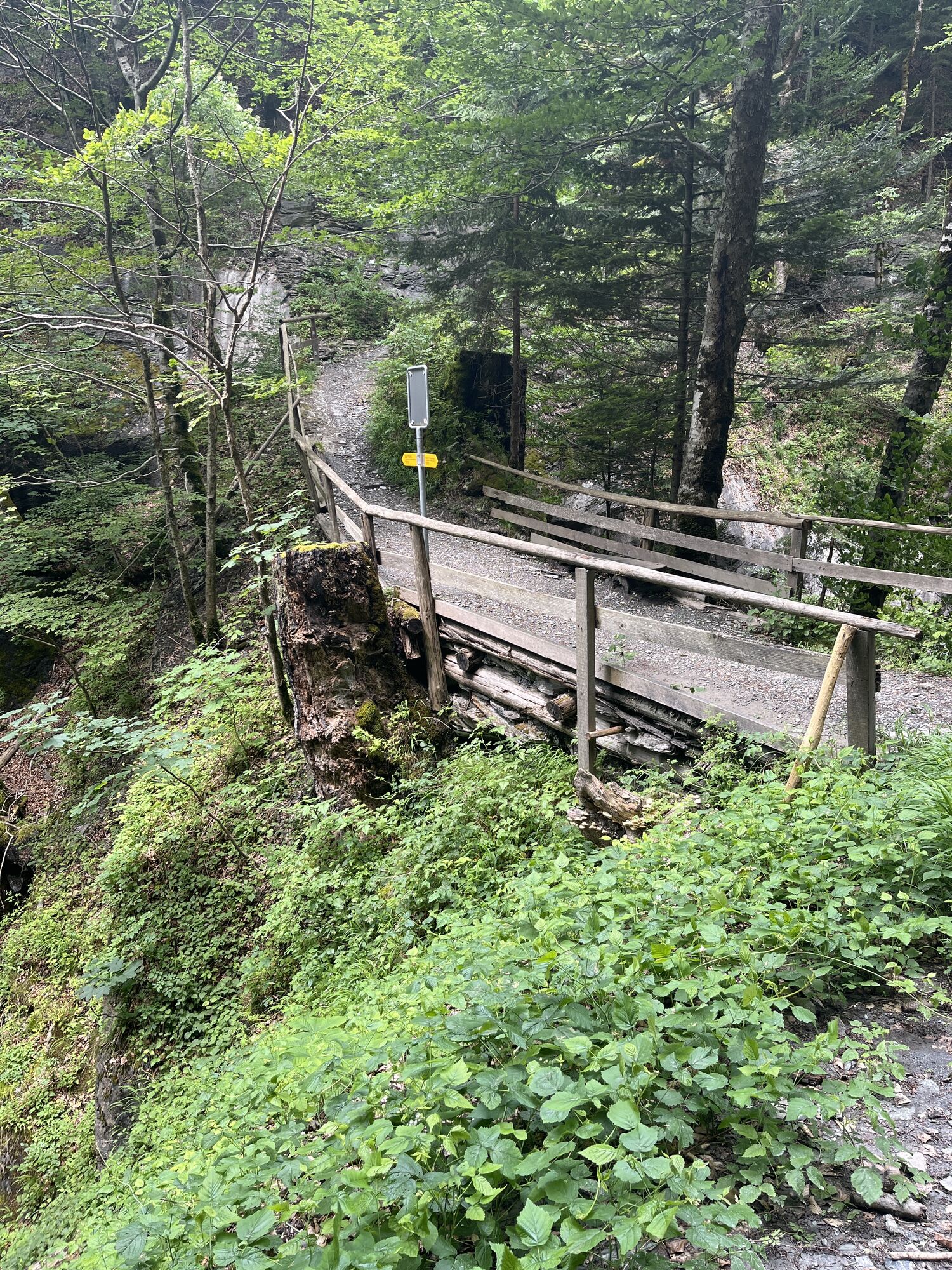
Note: unlit tunnel at the Kunkelspass.
Stop at the restaurant at the pass height and enjoy local delicacies.
Webové kamery z prohlídky
-
Caumasee
-
Laufböden
-
Talstation Flims
-
Mutta Rodunda
-
Rockresort Laax
-
Crap Sogn Gion Park
-
Talstation Feldis
-
Dorf Feldis
-
Pardiel
-
Feldis - Casealas/Fulberg
-
Pardiel-Prodboden
-
Station-Pardiel
-
Pizol
-
Brün
-
Pardiel
-
Pardiel
-
Pardiel
-
Pardiel
-
Pardiel
-
Flims Rens
-
Trin Loipe
-
Sagogn Loipe
-
Rheinschlucht Conn
-
Alphütte Maienfeld
-
Bargis
-
Laax Murschetg Cassons Grat
-
Laax See
-
Laax Murschetg Cassons Grat
Oblíbené prohlídky v okolí
-
4.5
4-lake hike
středníTuristika 12.8 km -
4.9
5-Lake Hike Pizol
středníTuristika 11.3 km -
4.7
The riverside trail: Trutg dil Flem
středníTematická stezka 13.5 km -
4.6
5-Seen Wanderung am Pizol
světloTuristika 10.1 km -
4.6
Pizol - Batöni - Weisstannen
heavyTuristika 11.7 km -
4.3
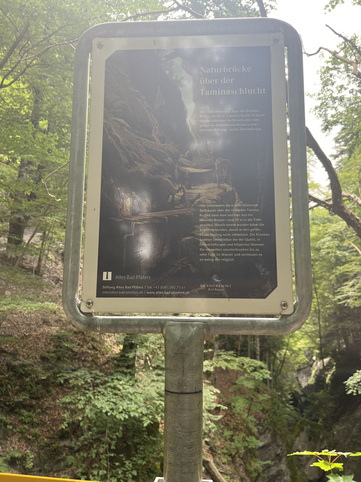
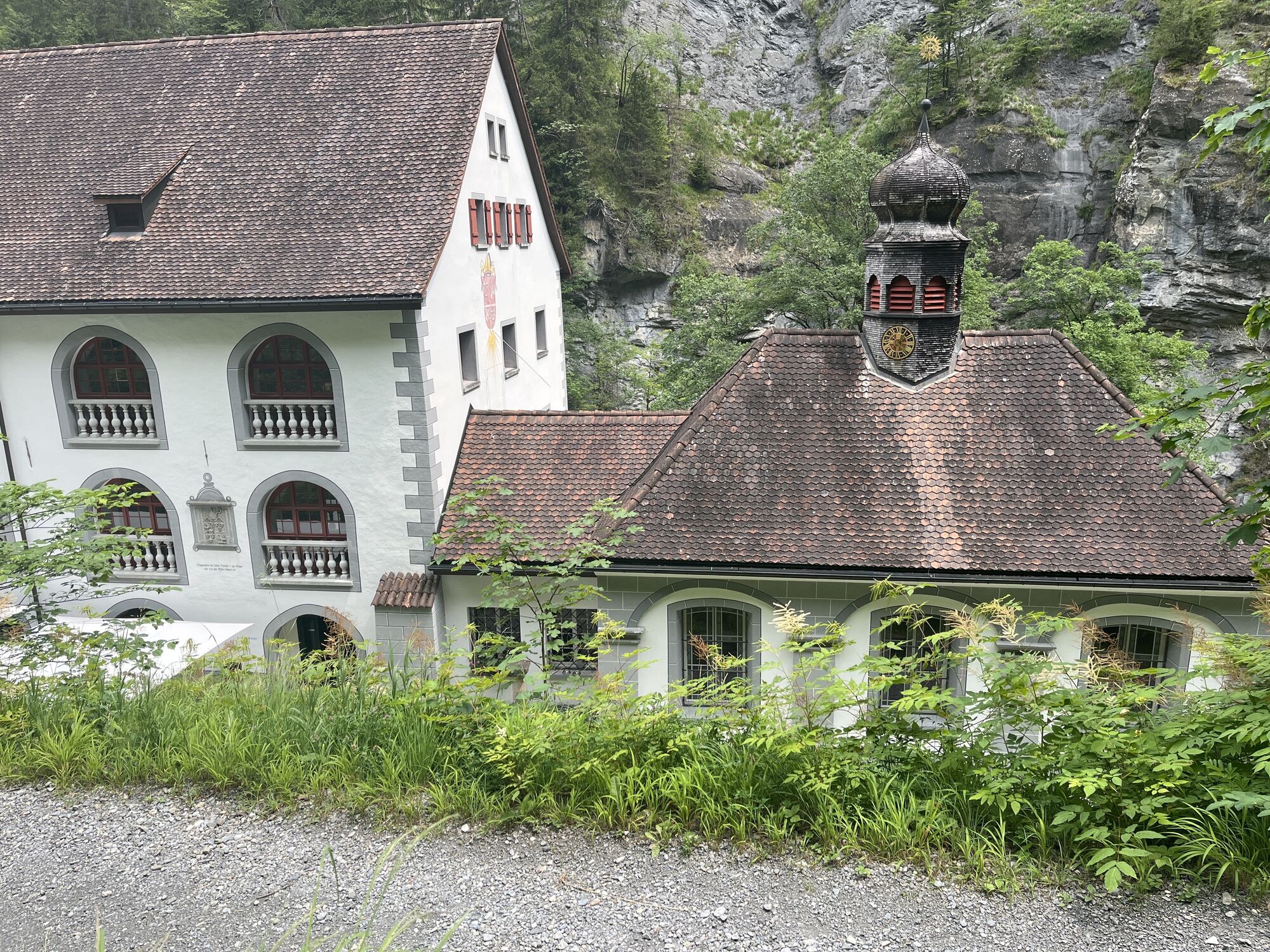
Tamina Gorge round tour
středníTuristika 14.0 km -
4.3
Via Ferrata Pinut
středníVia ferrata 5.82 km -
4.7
Rhine Gorge Hike: Senda Ruinaulta (659)
světloTuristika 9.39 km -
5.0
Circular hike Bettlerweg & 2-Lakes Hike Pizol
středníTuristika 11.4 km -
5.0
Staderas - Conn - Rhein Gorge Ruinaulta-Staderas
středníTuristika 19.8 km
Pěší turistika a stopování


Nenechte si ujít nabídky a inspiraci pro vaši příští dovolenou
Vaše e-mailová adresa byl přidán do poštovního seznamu.