







Engadin Hut Route
Úroveň obtížnosti: S2
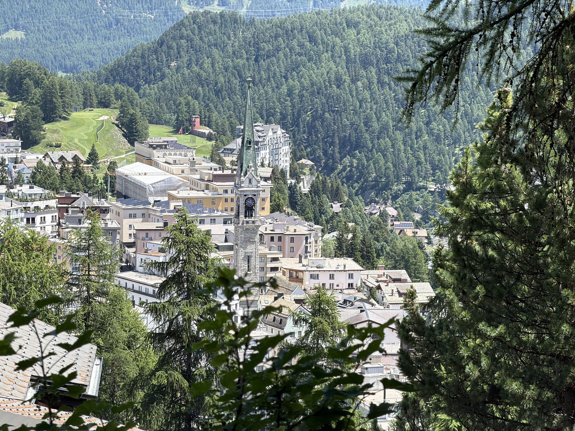
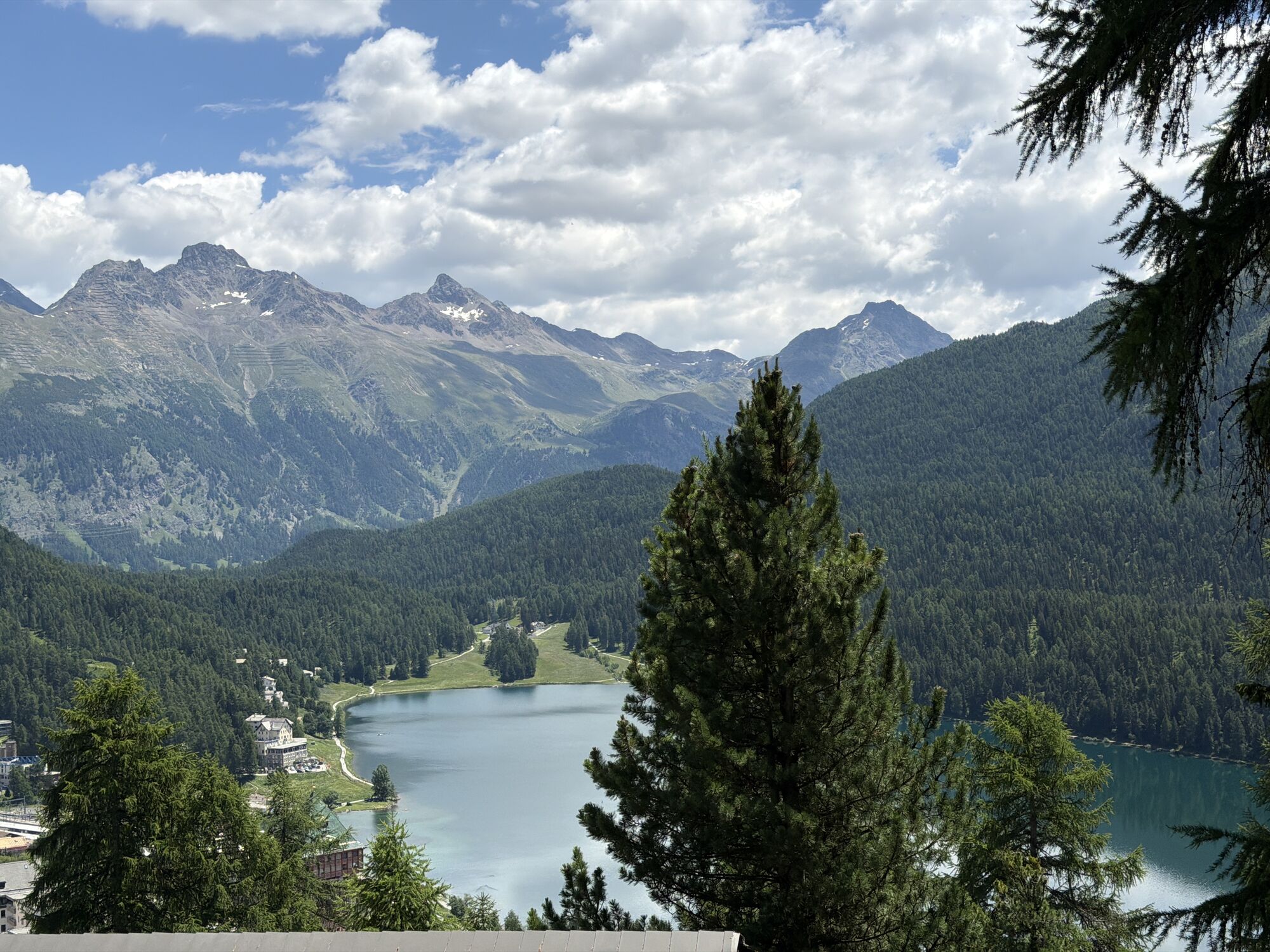
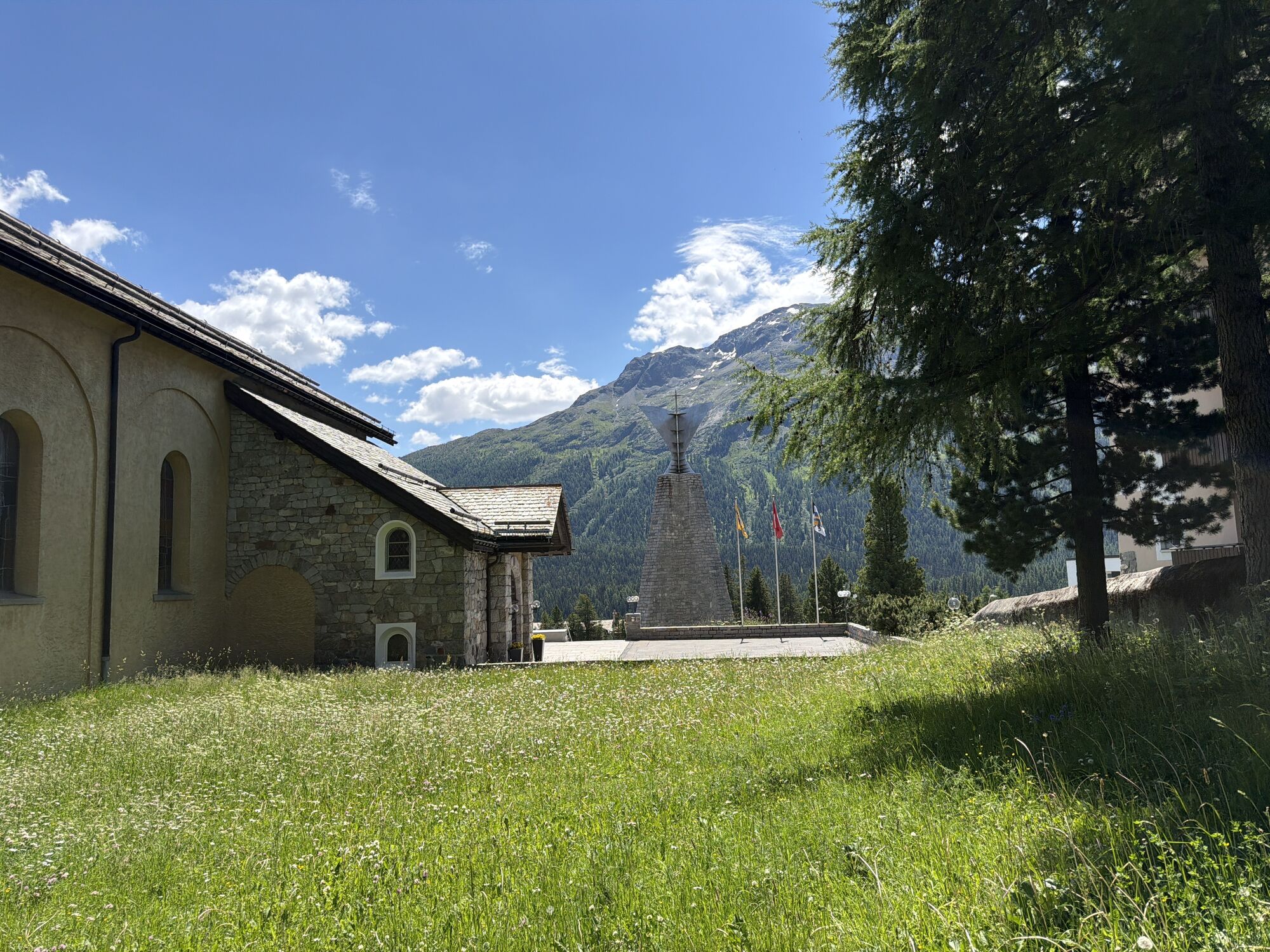
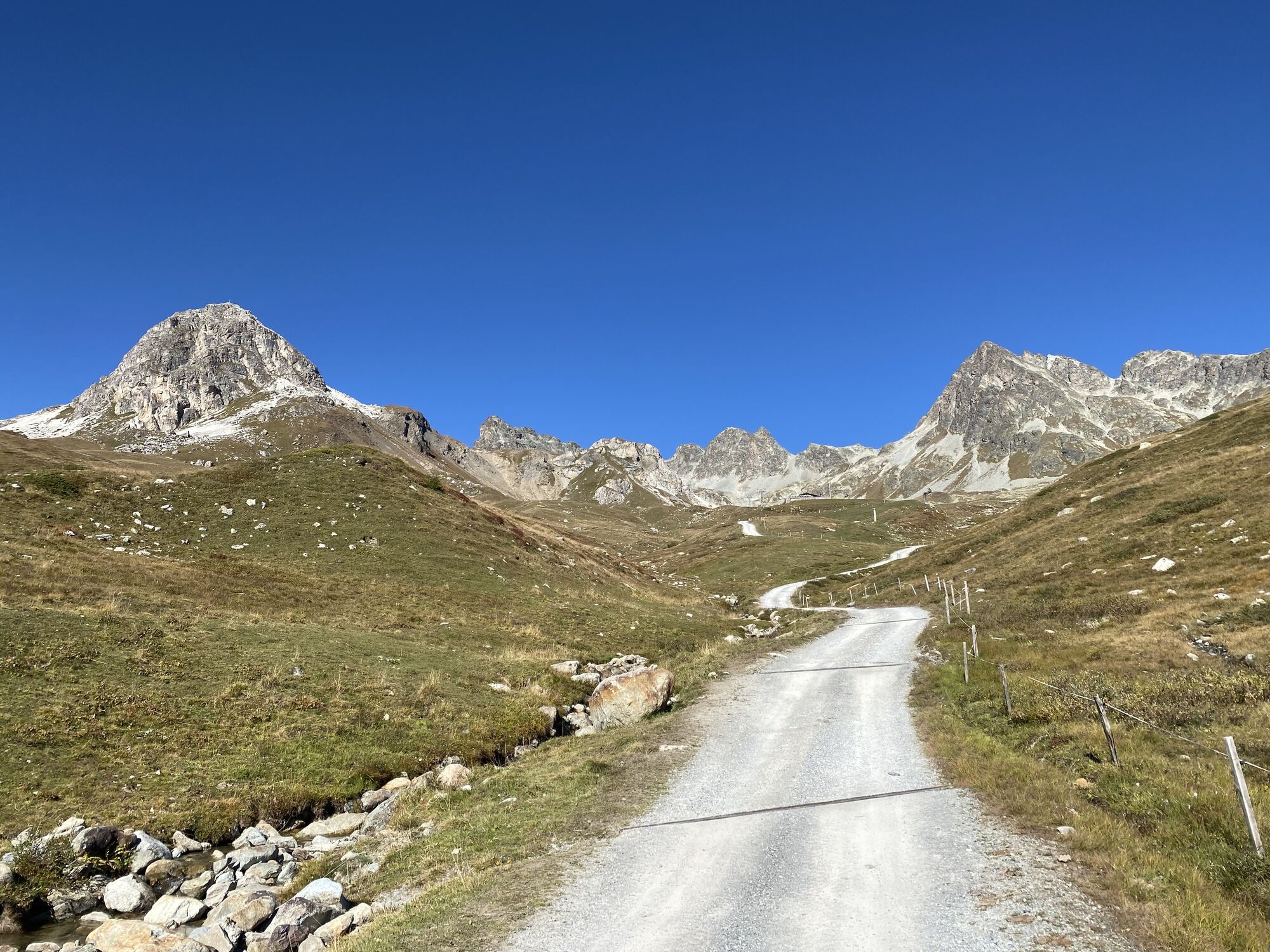
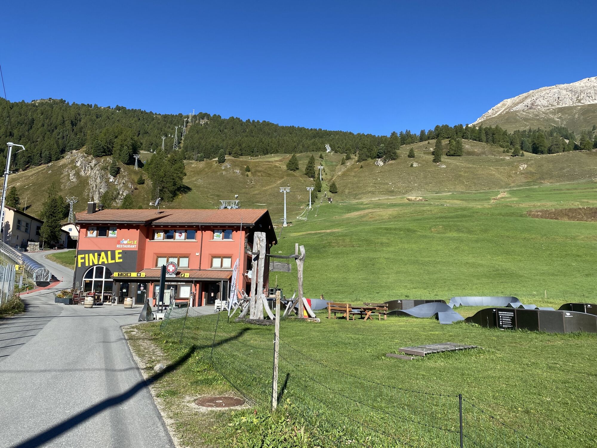
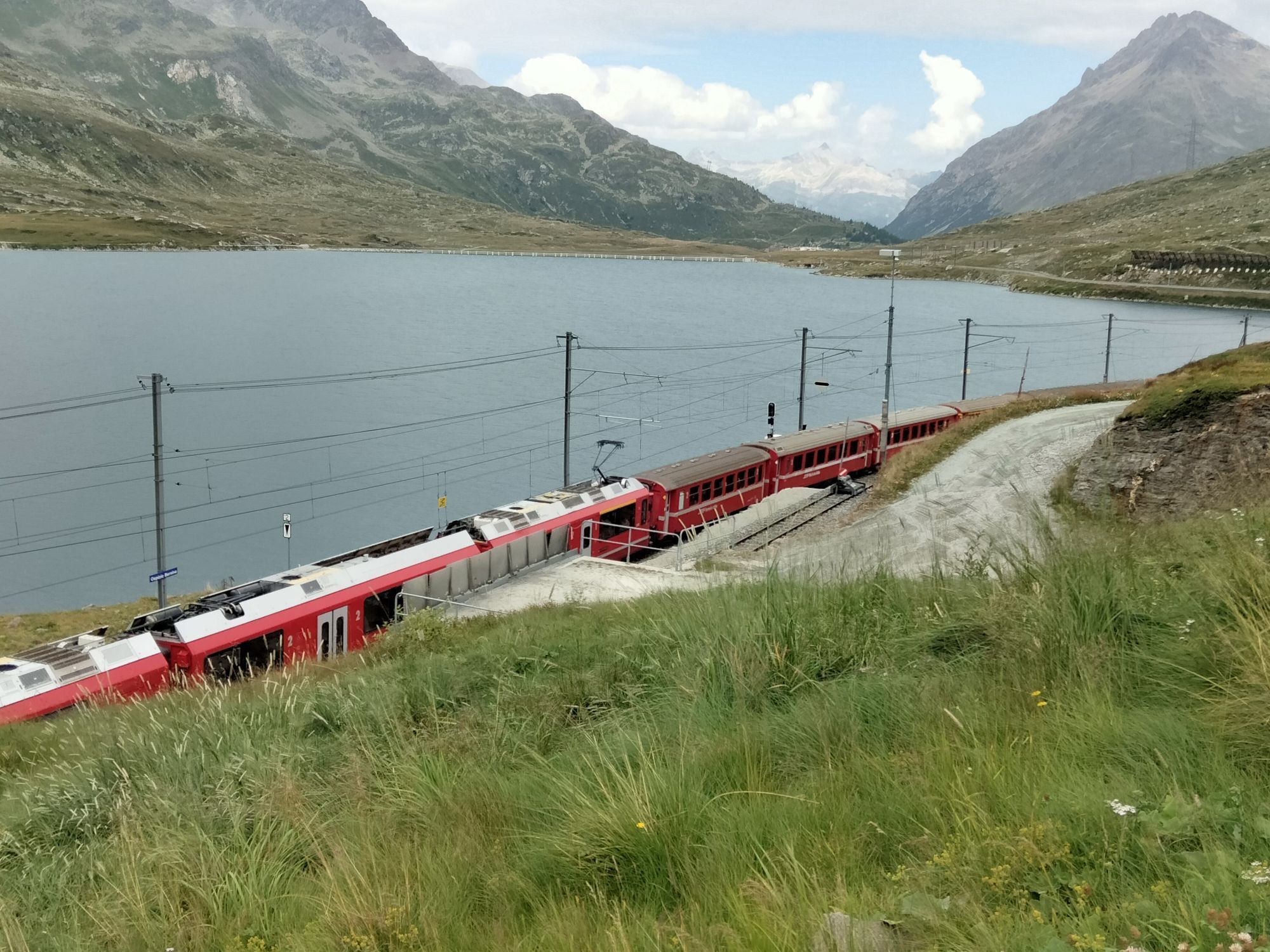

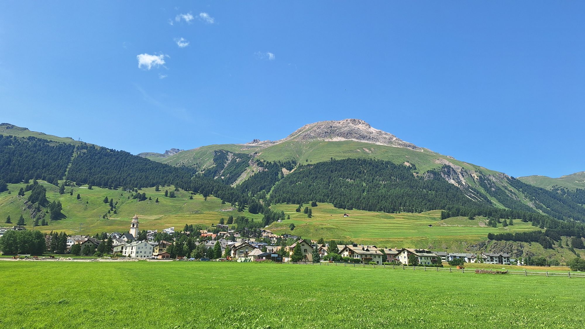
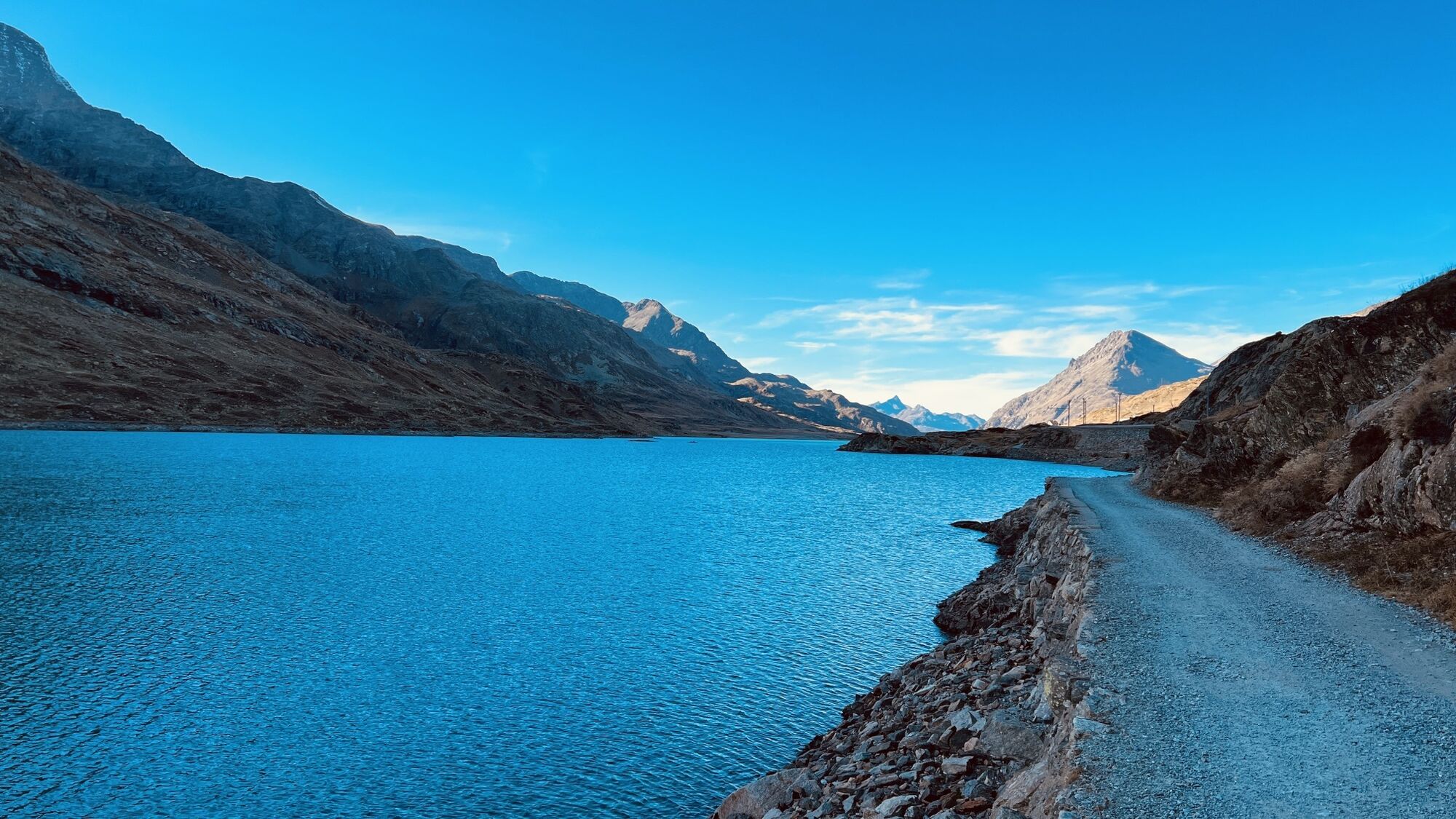
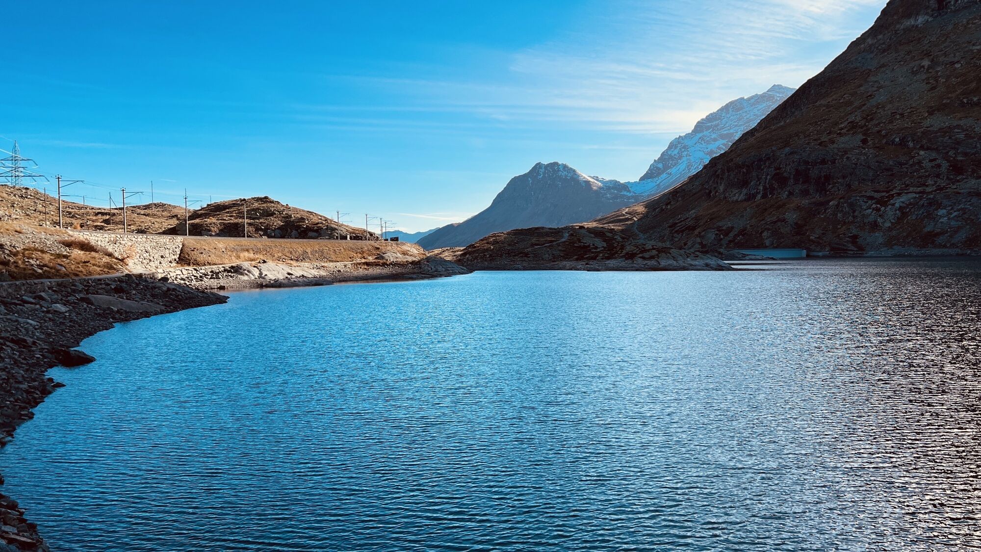
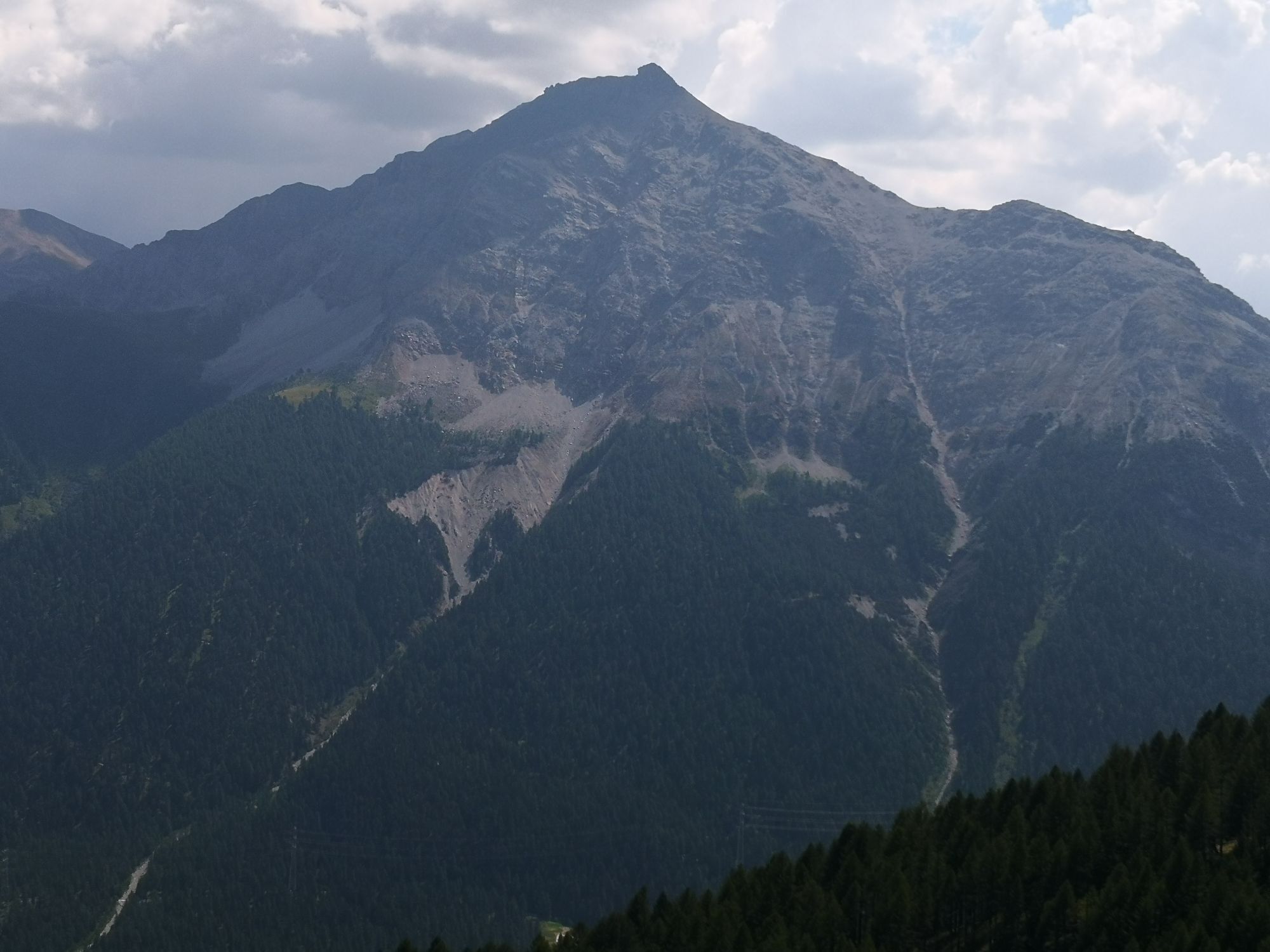
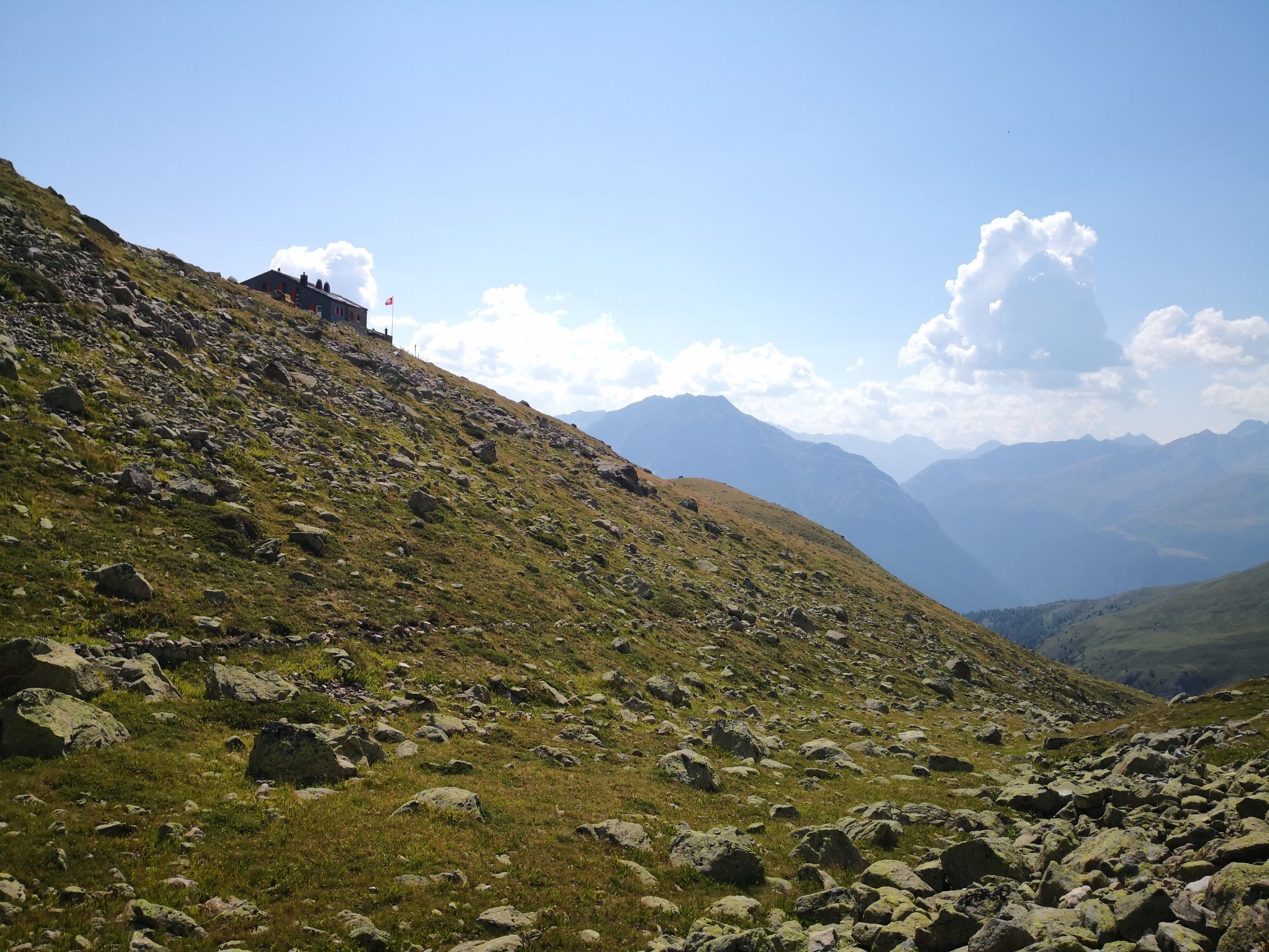
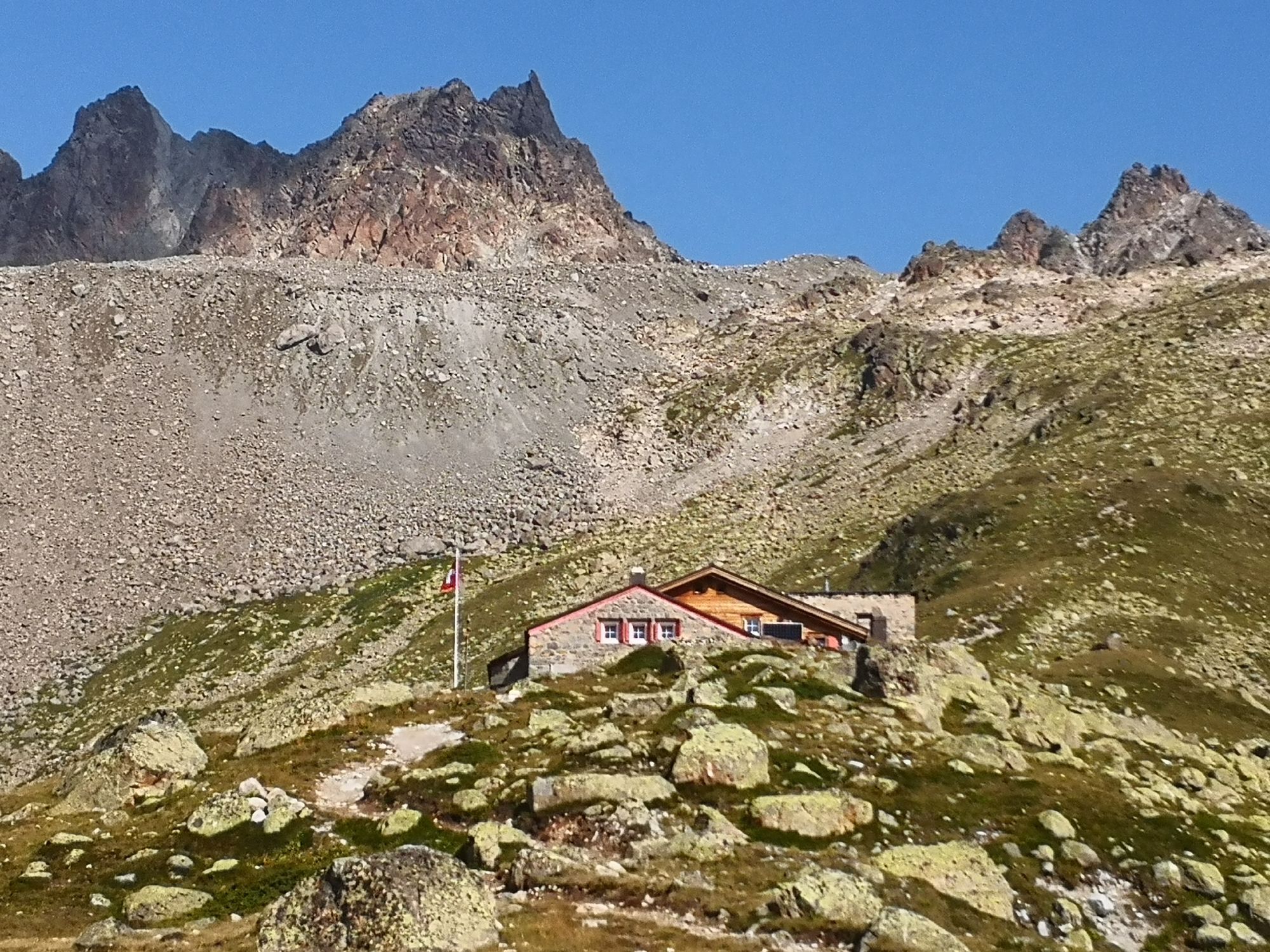
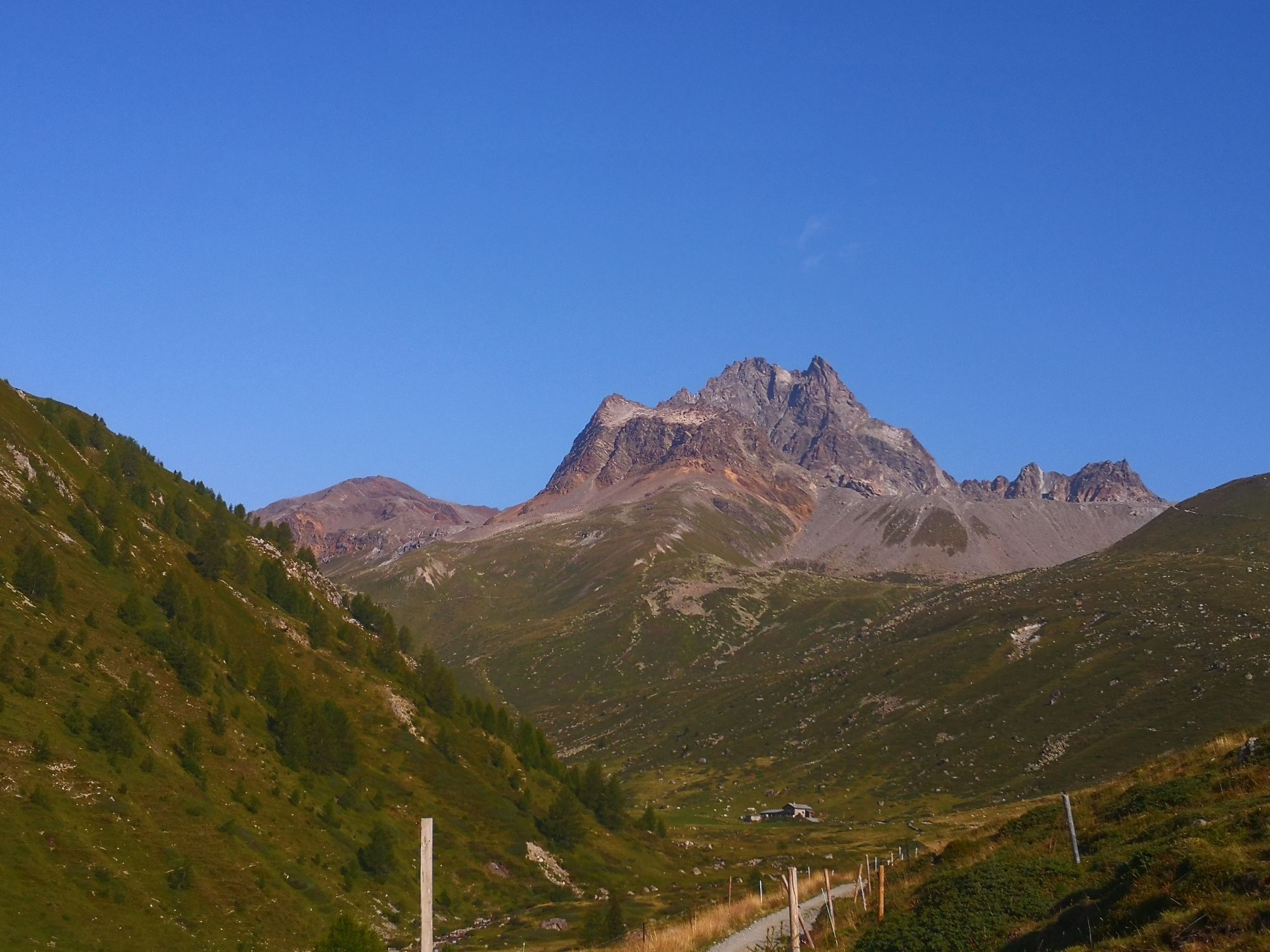
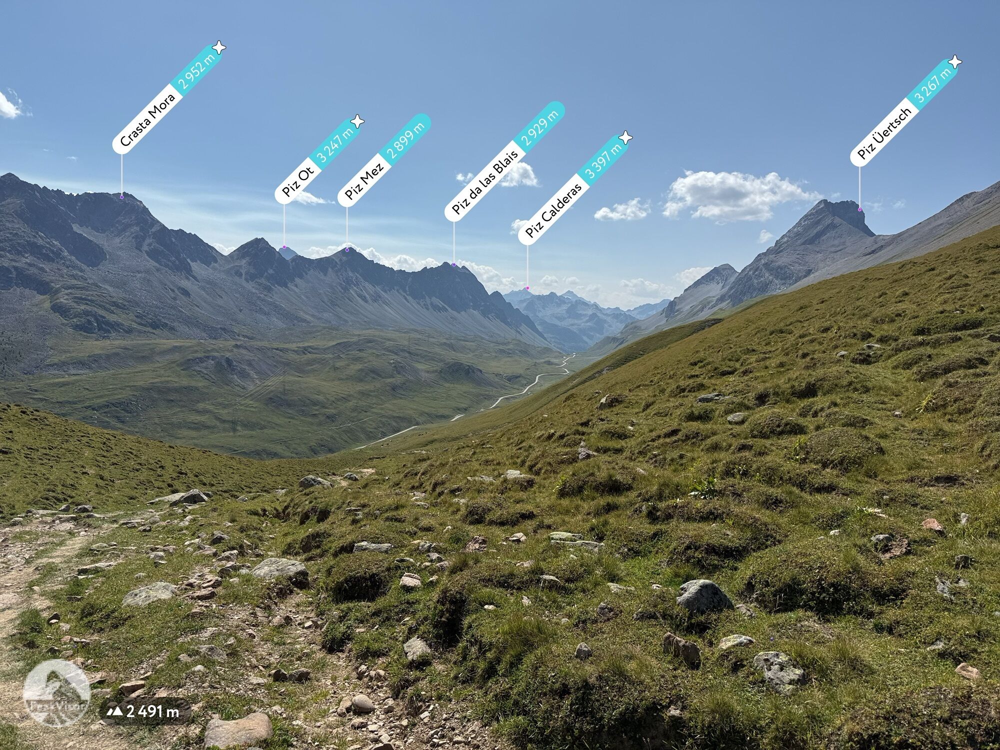
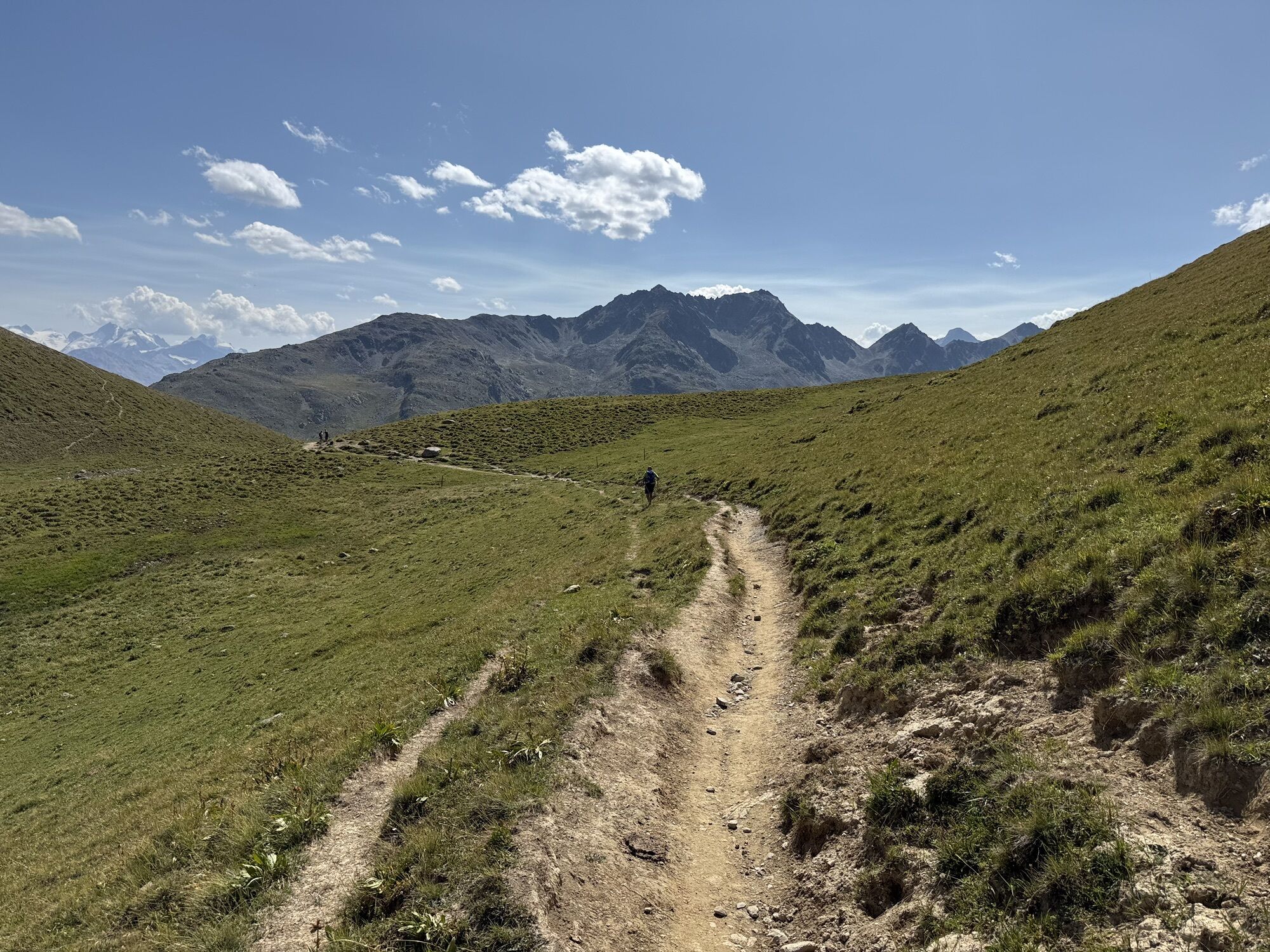
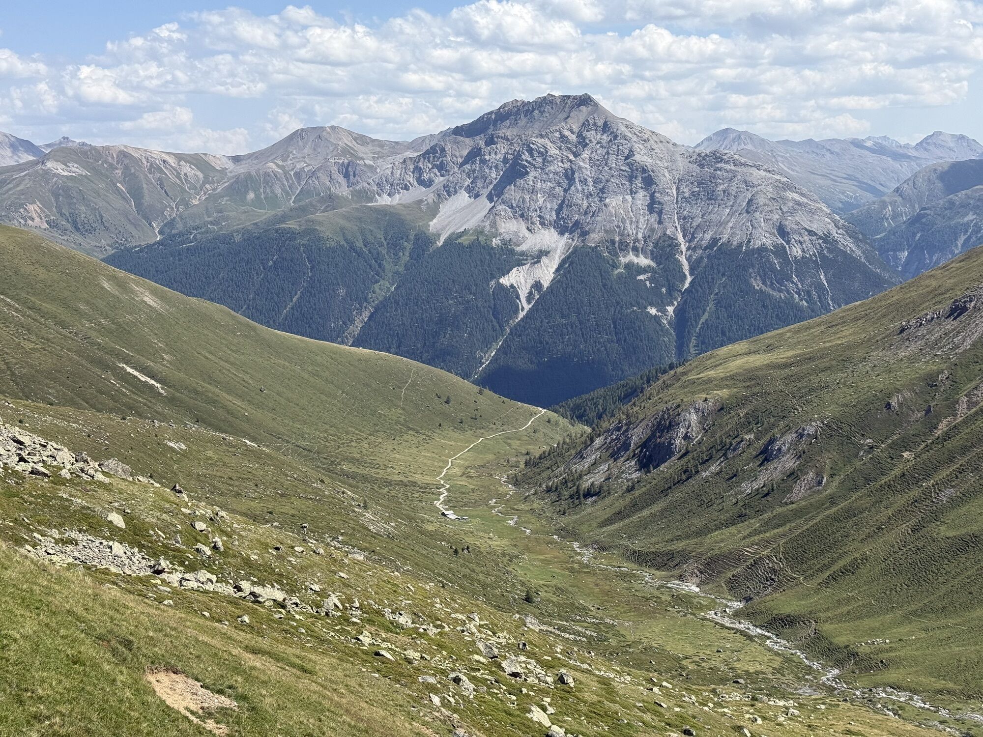
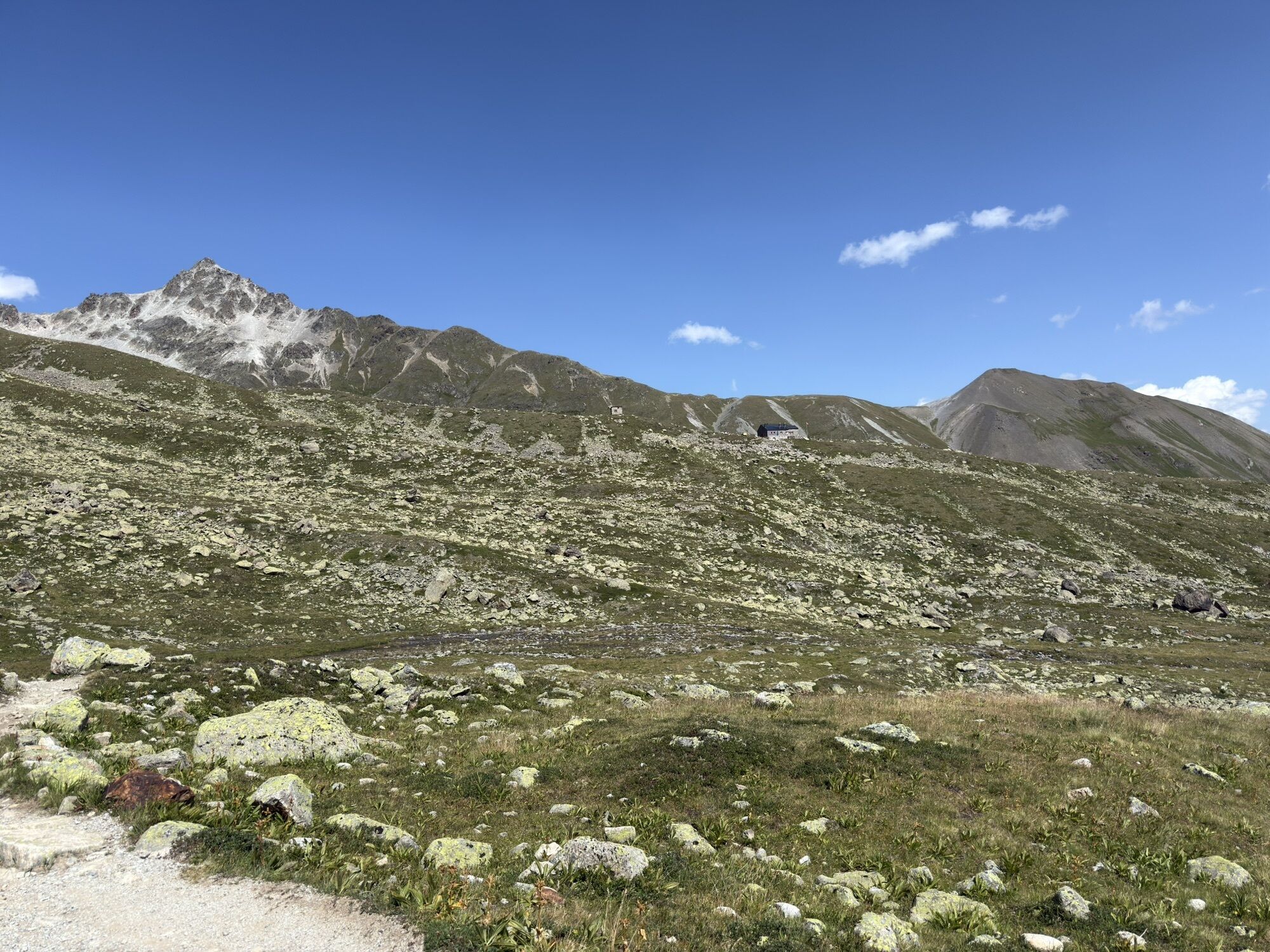
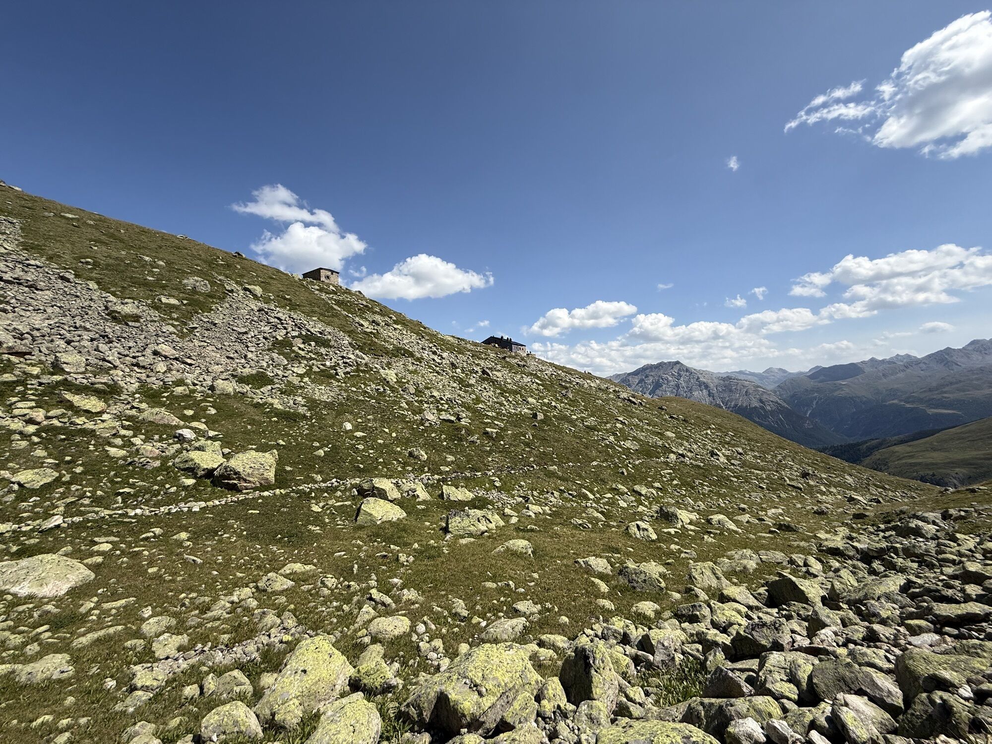
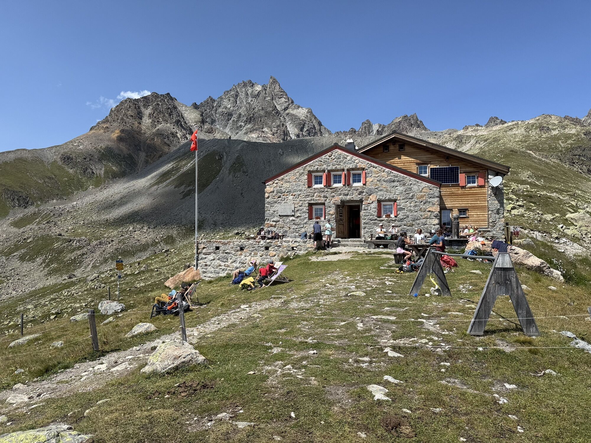
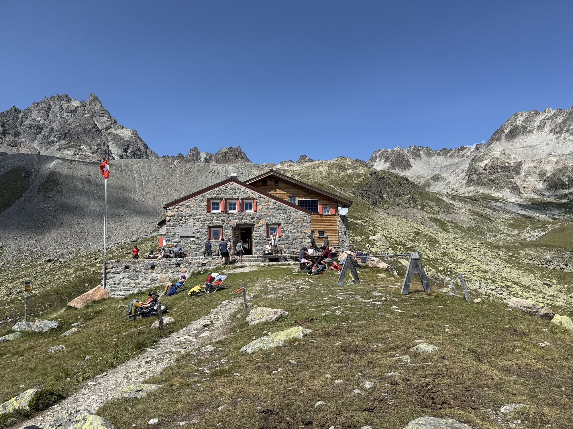
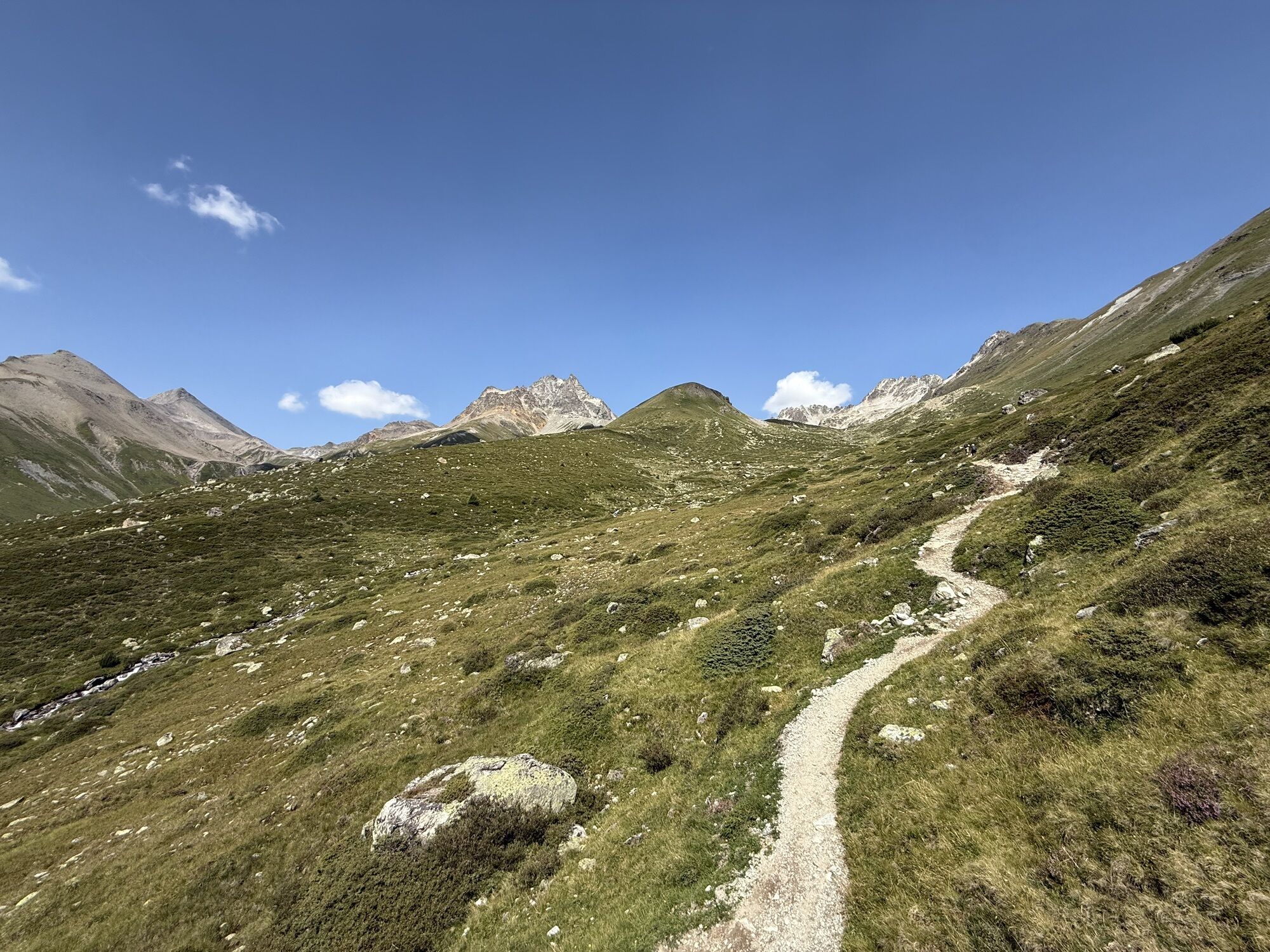
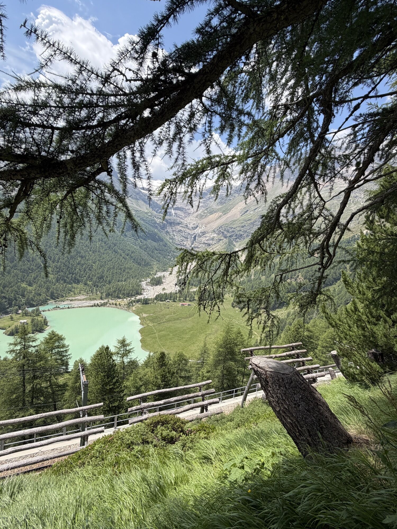
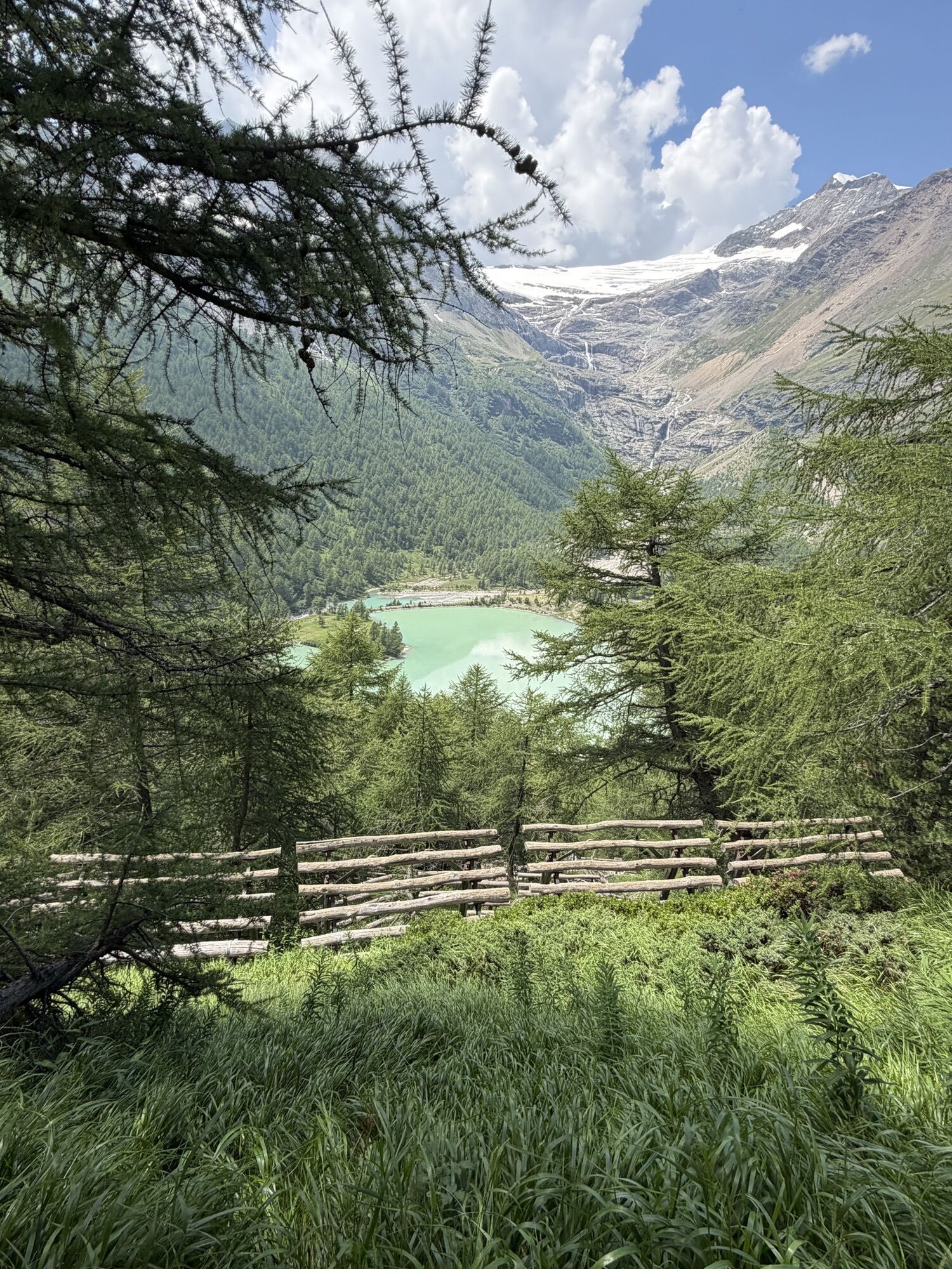
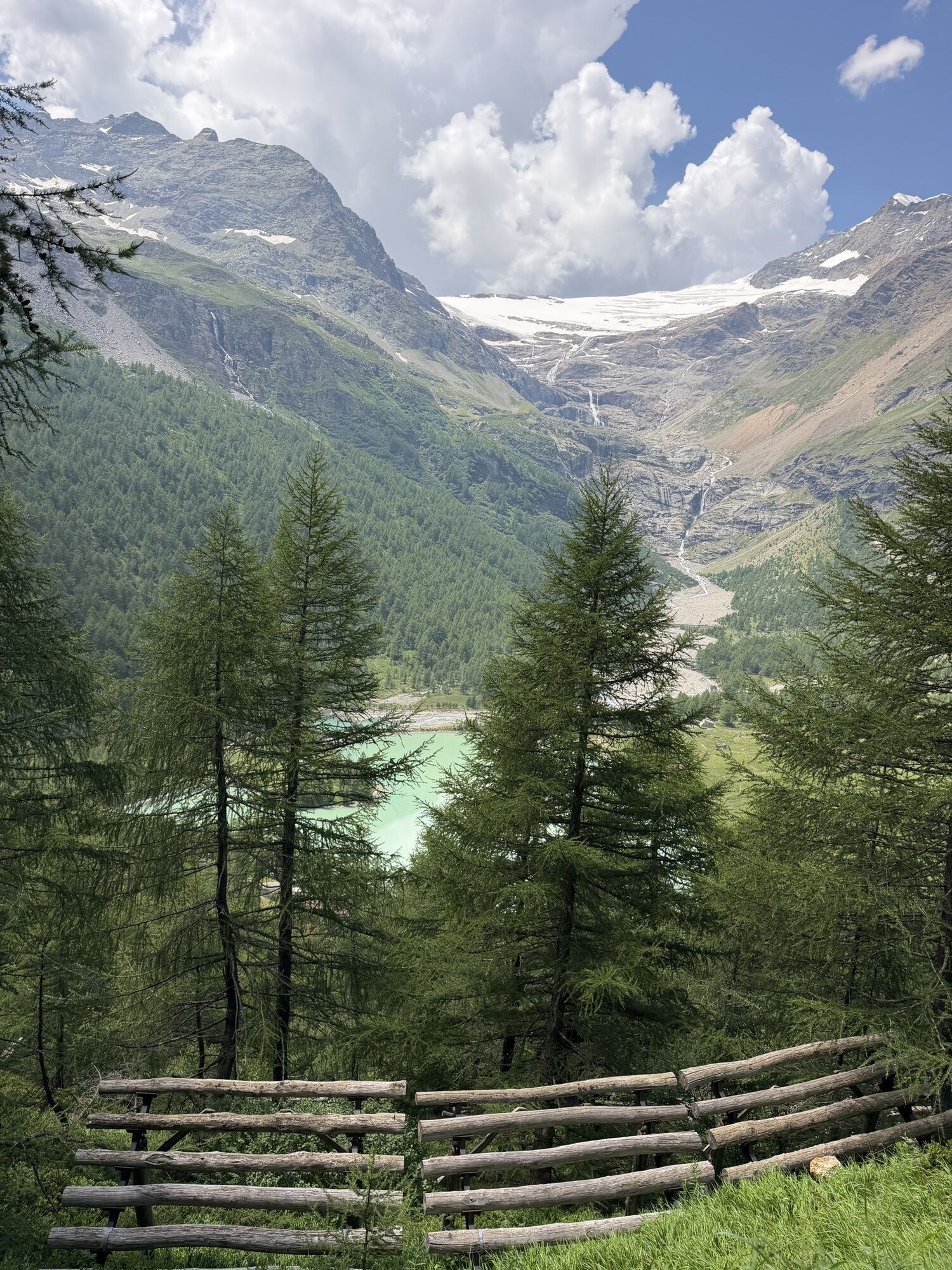
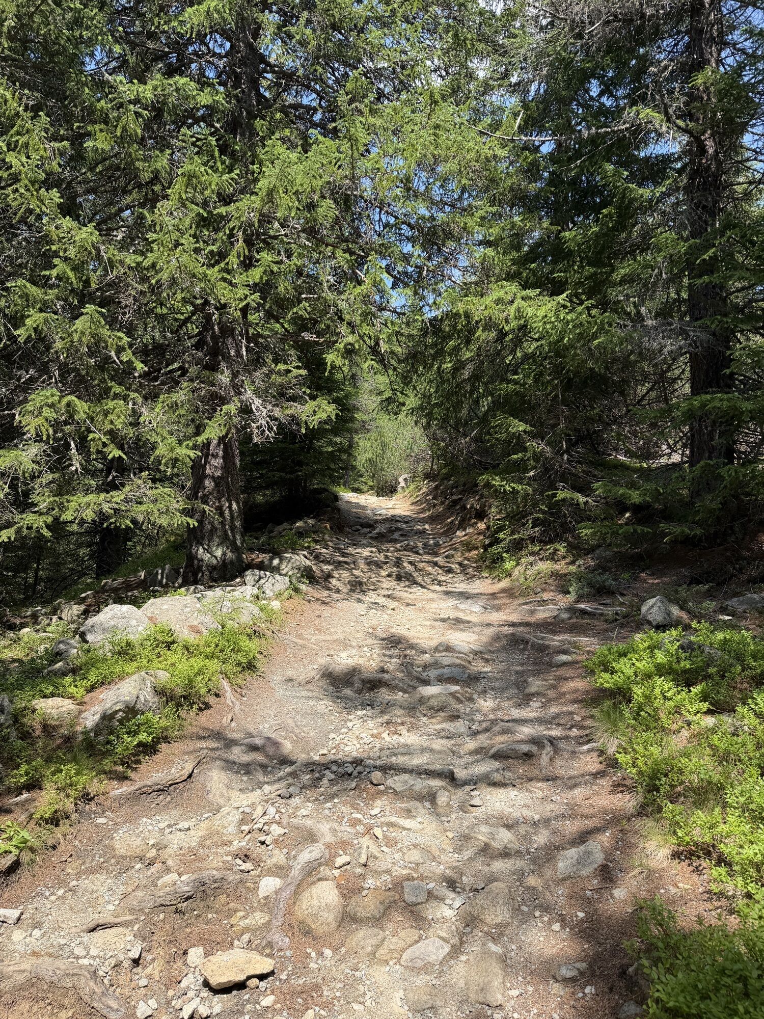
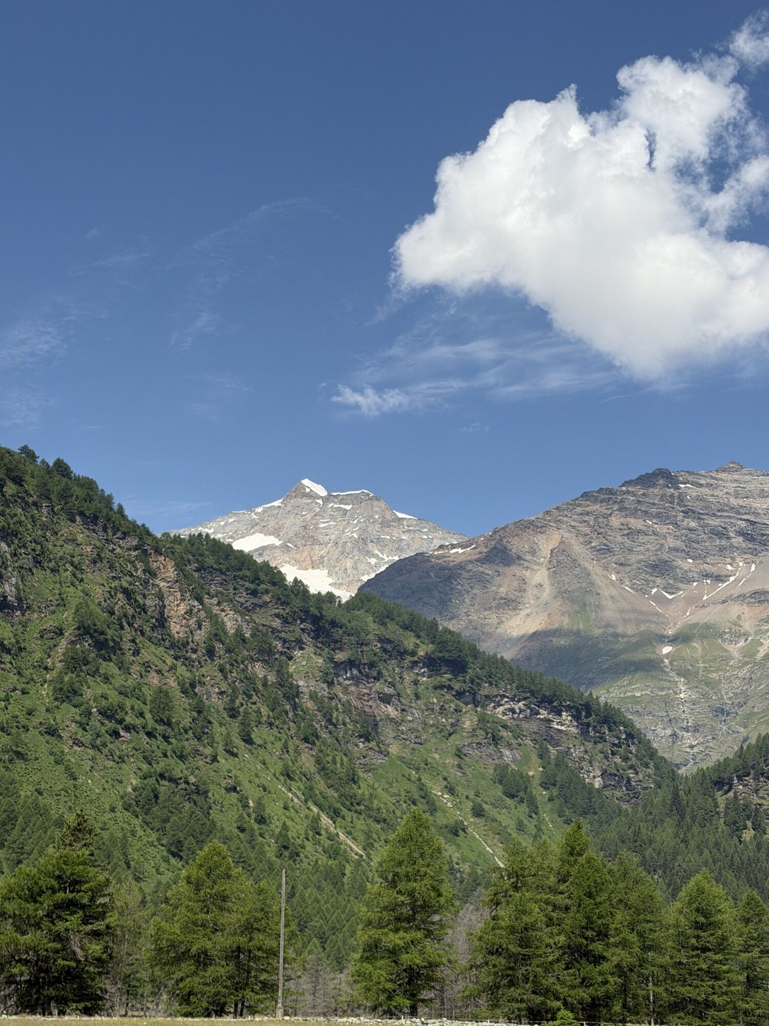
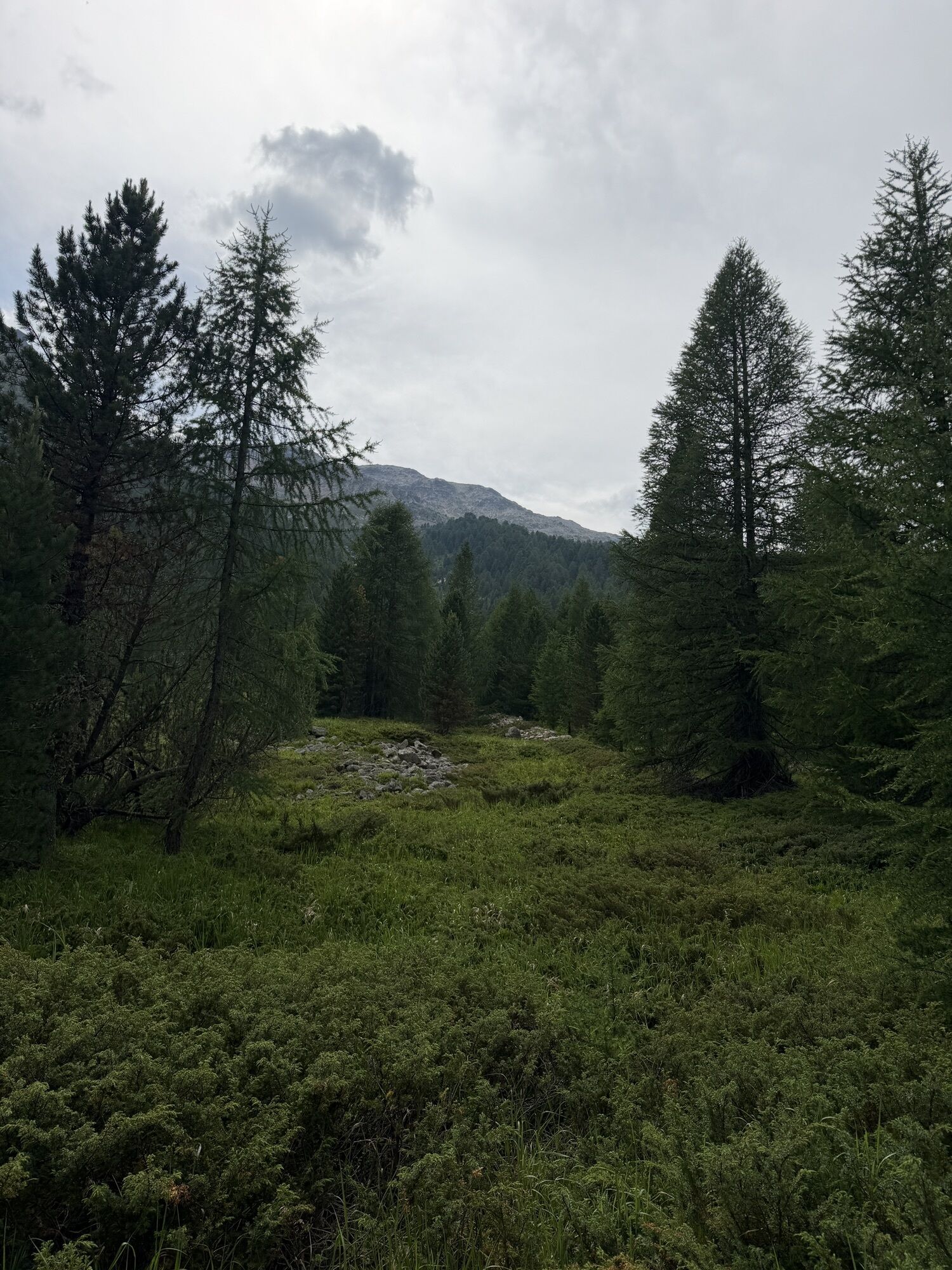
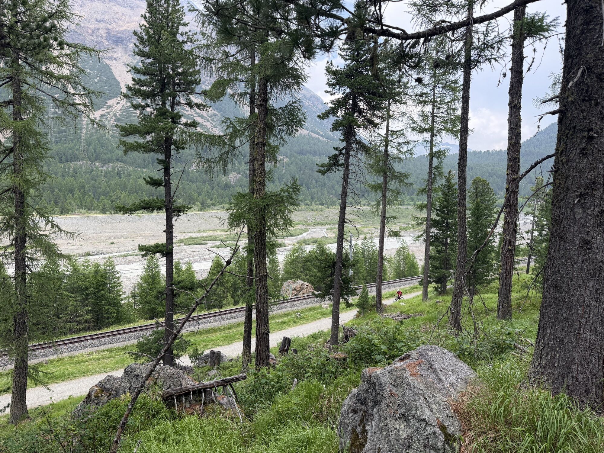
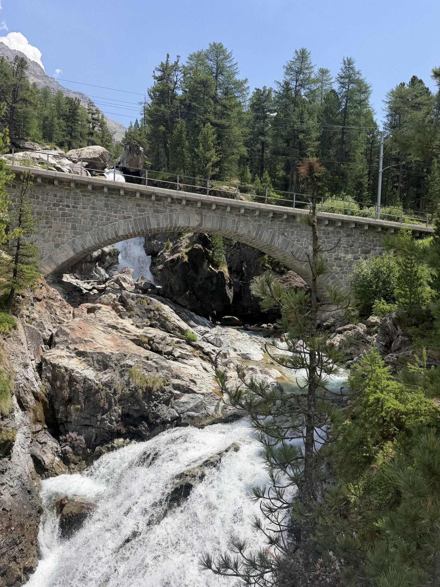
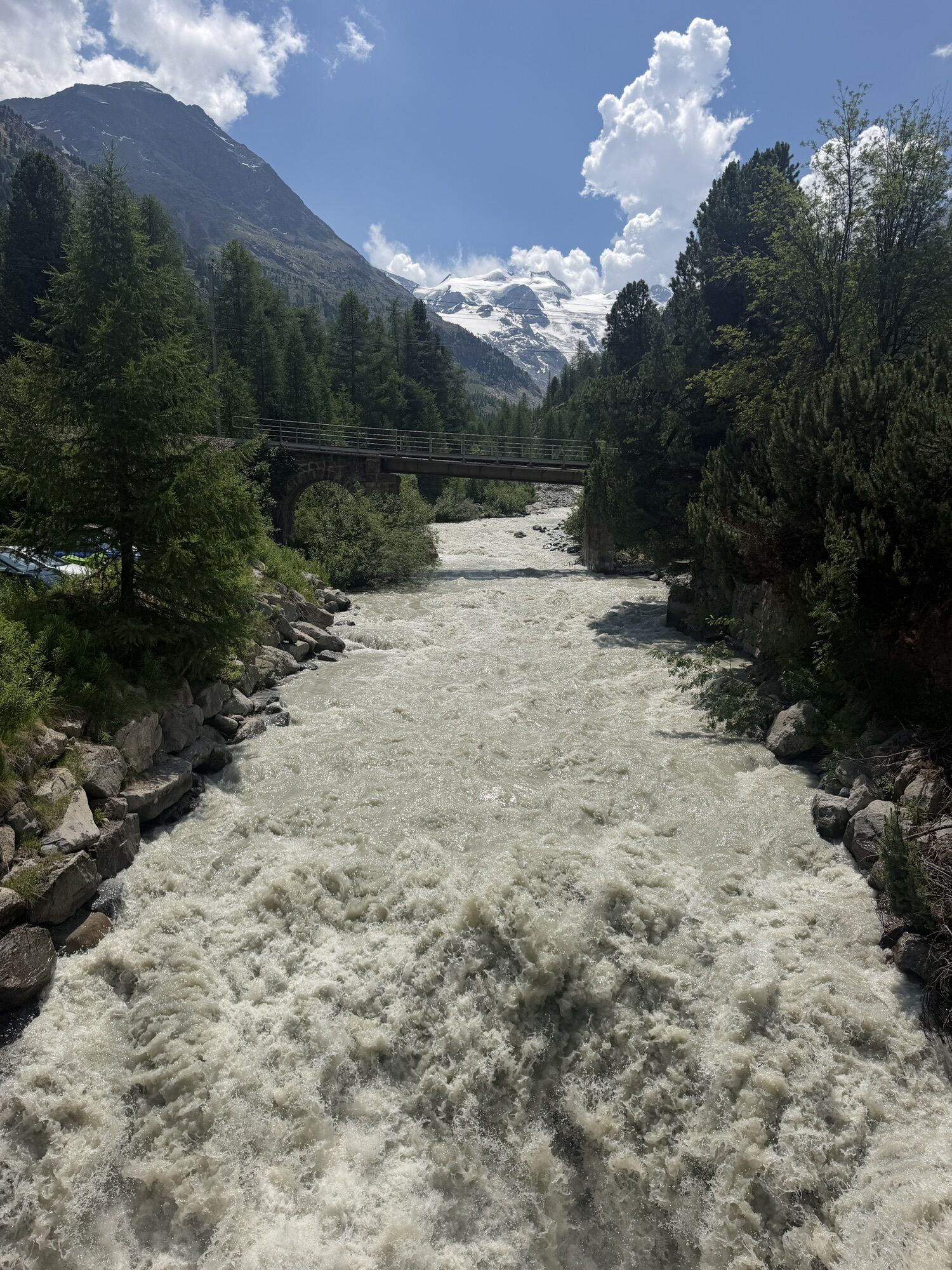
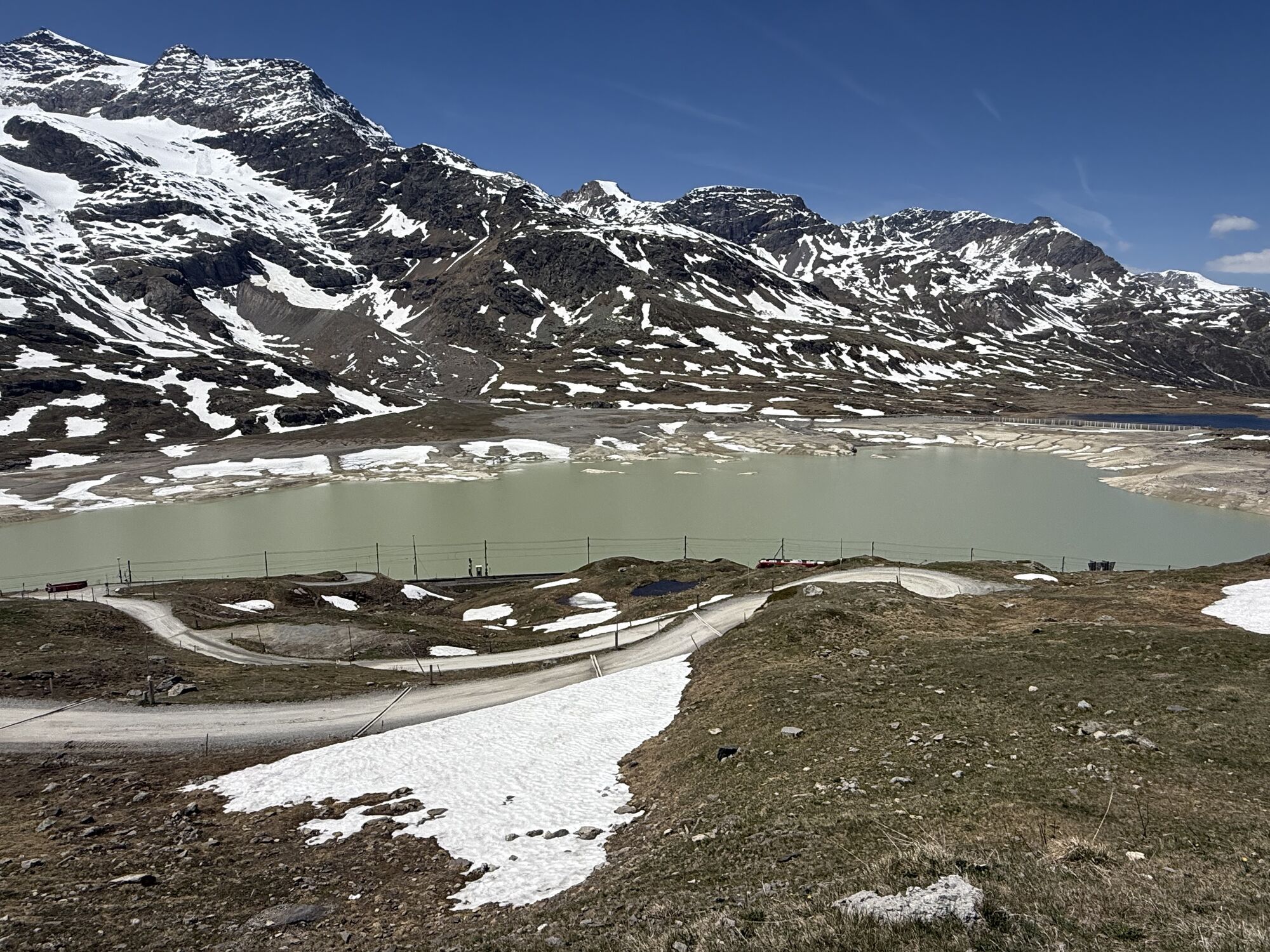
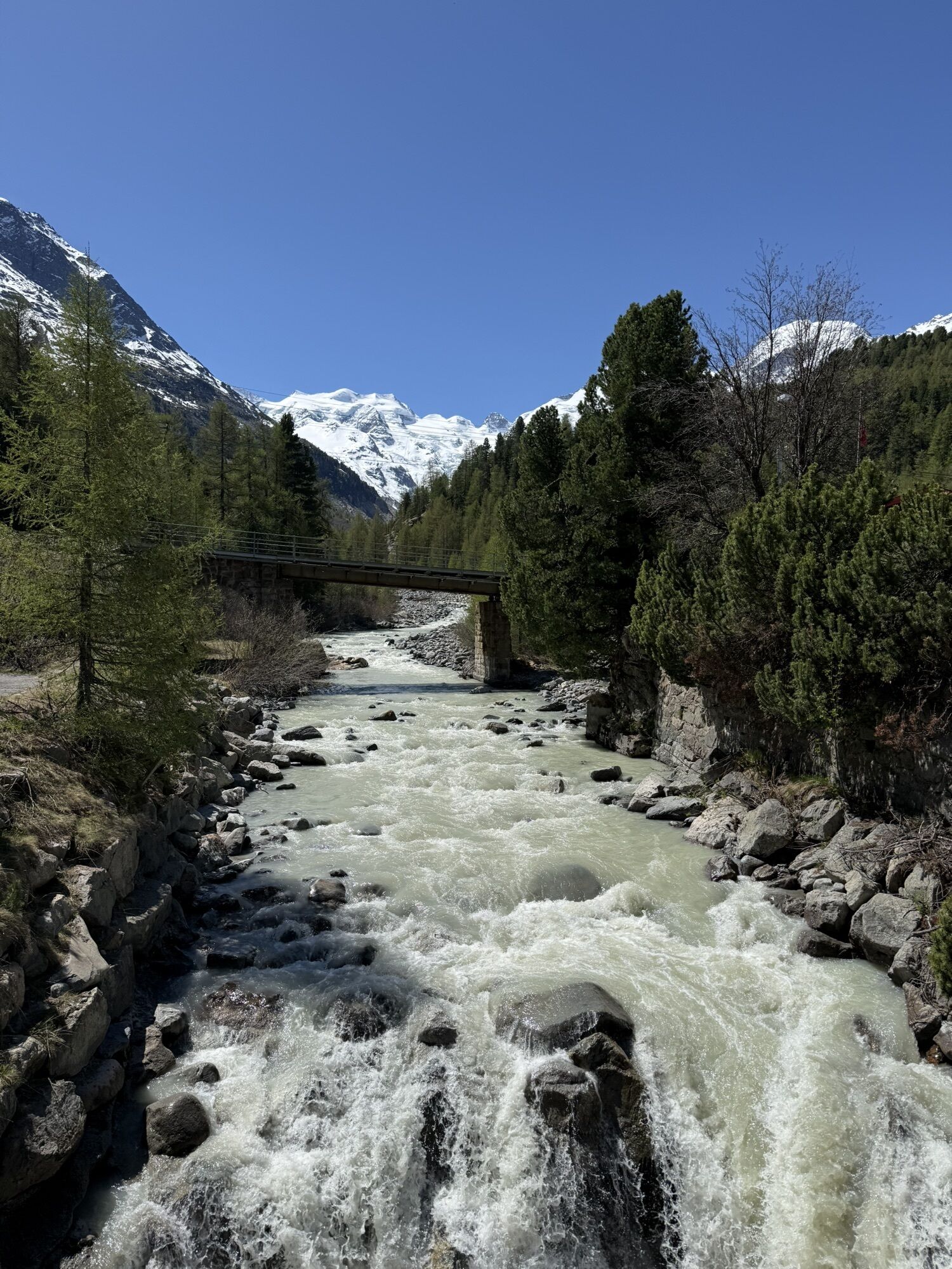
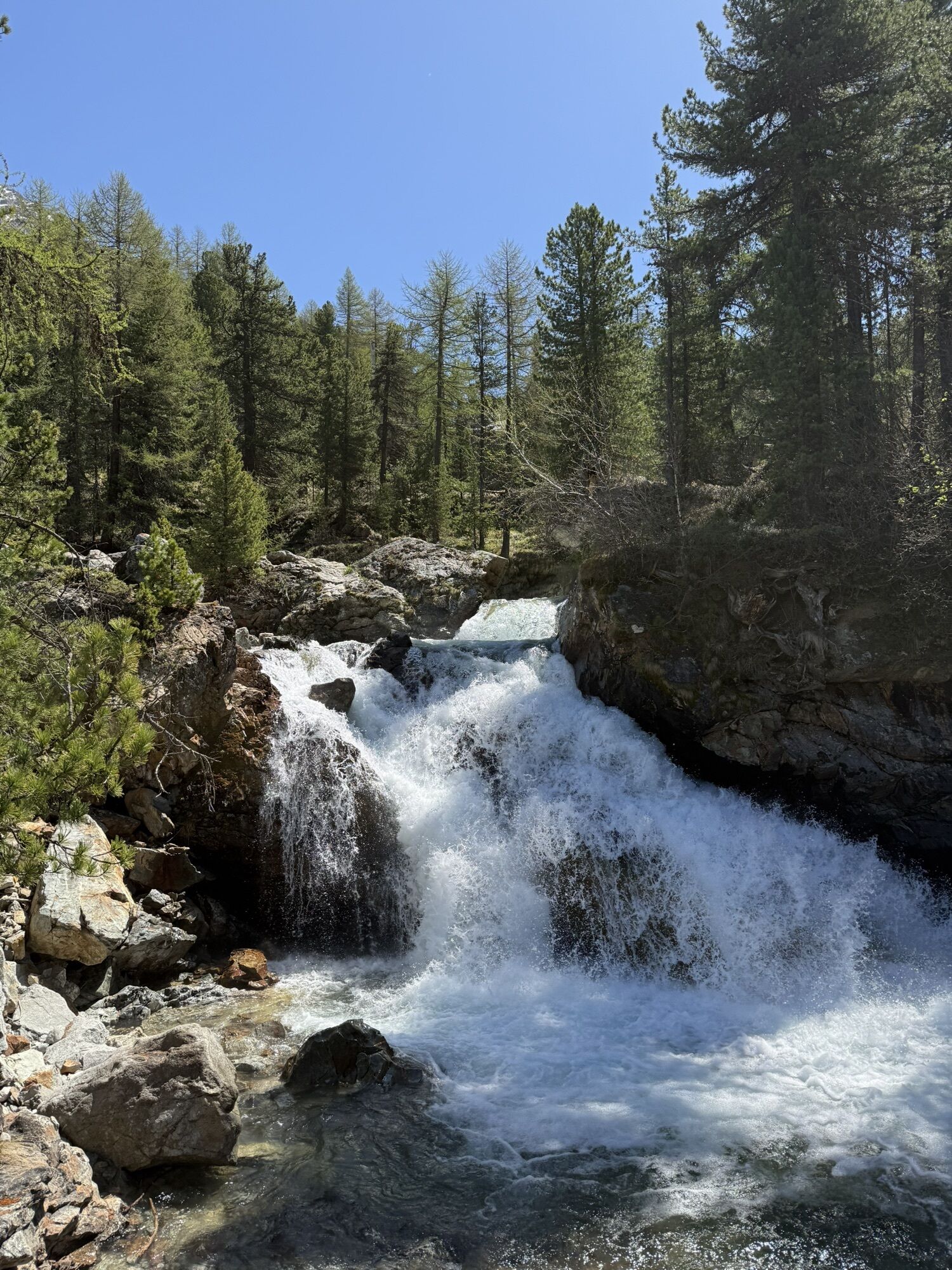
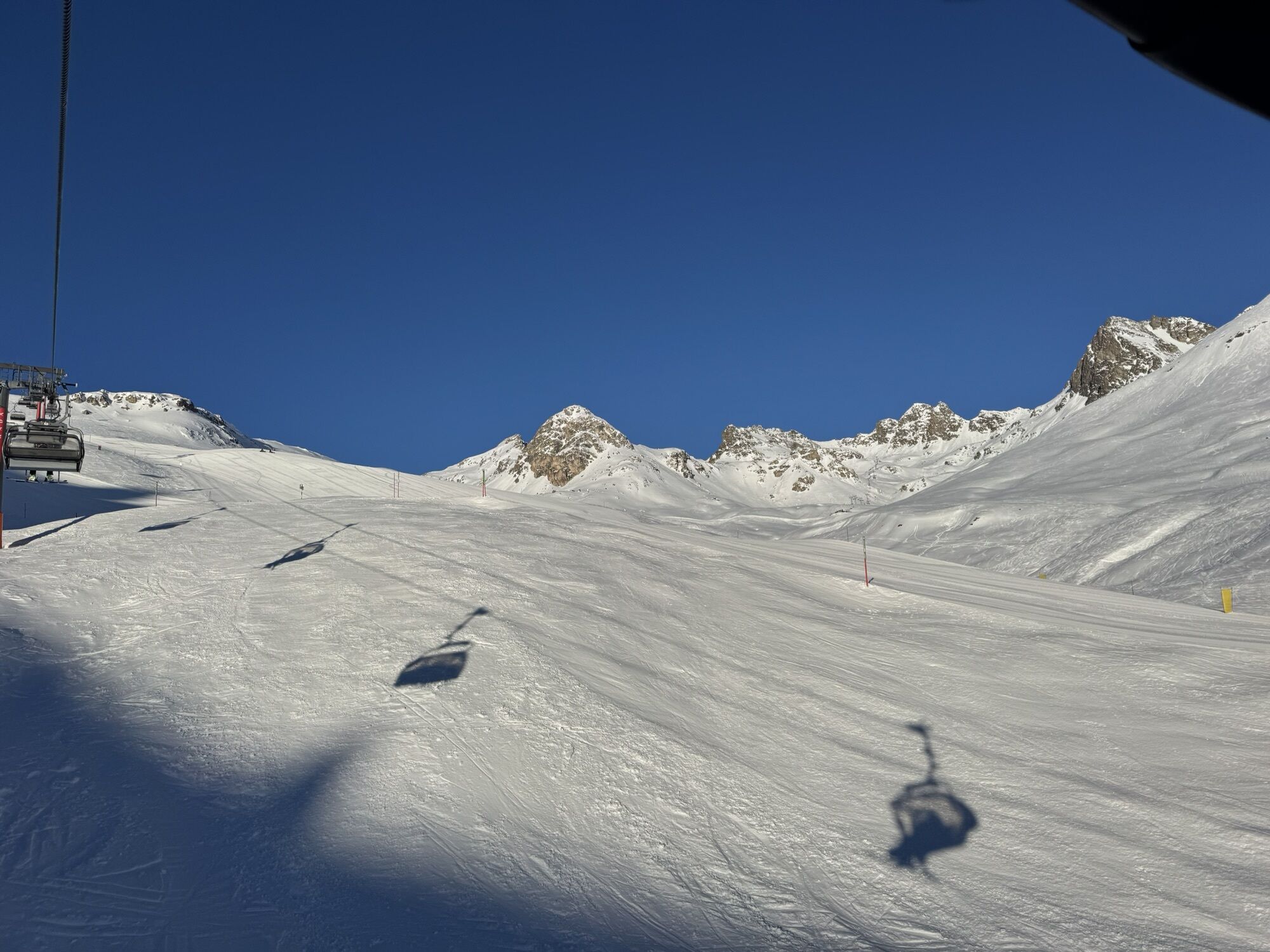
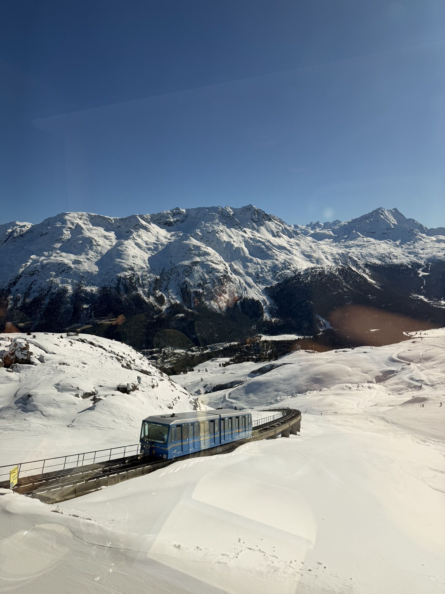
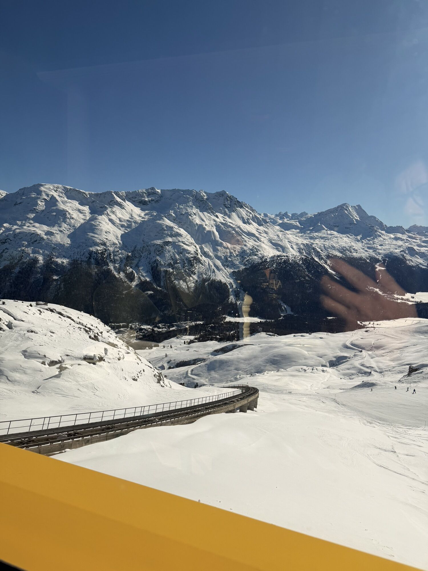
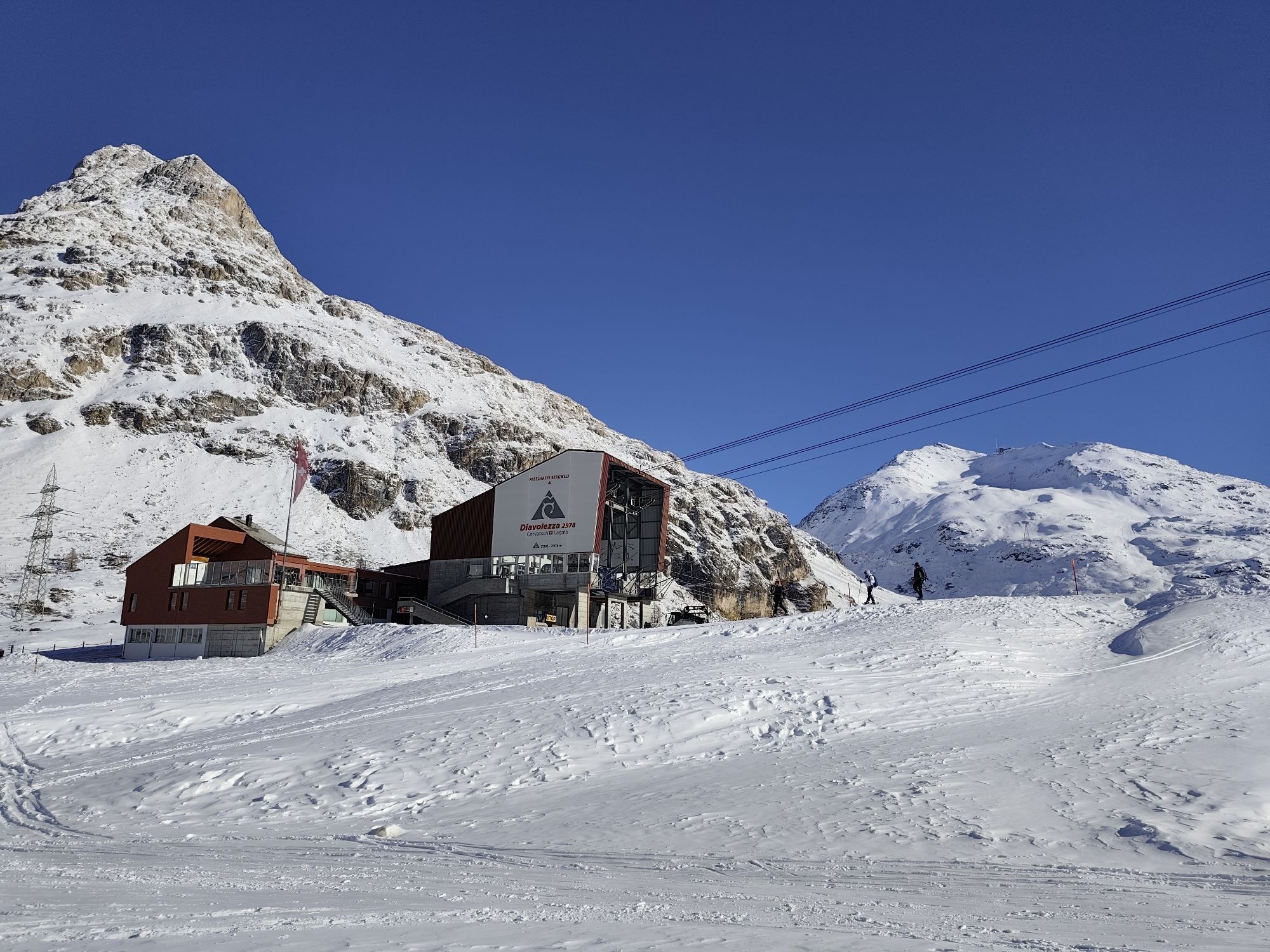
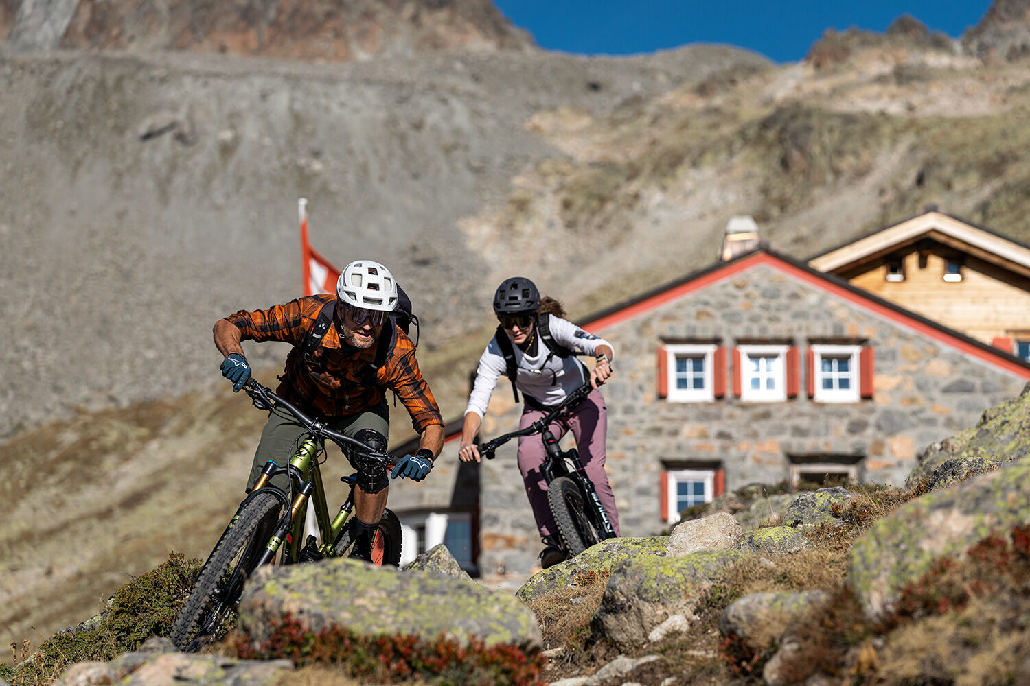
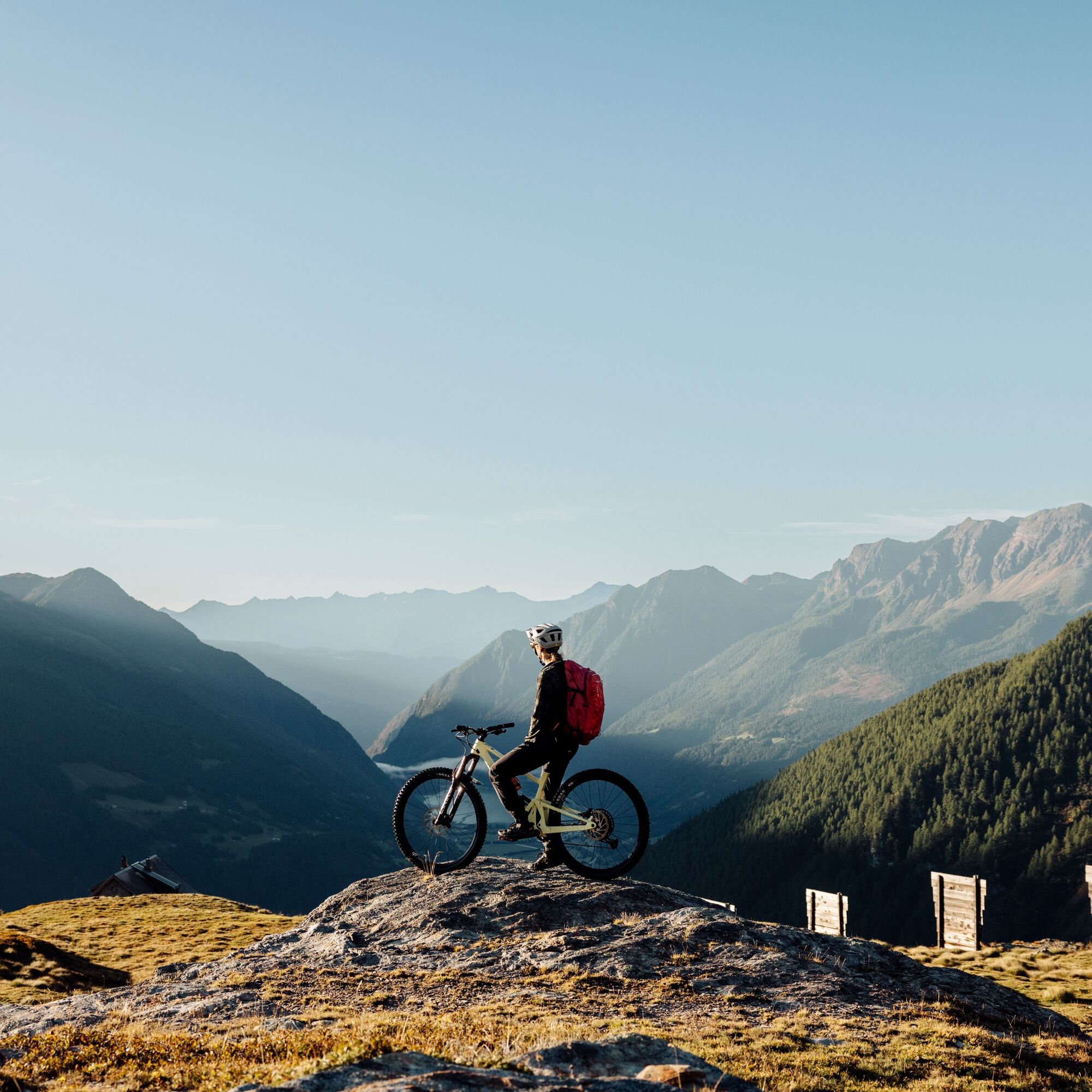
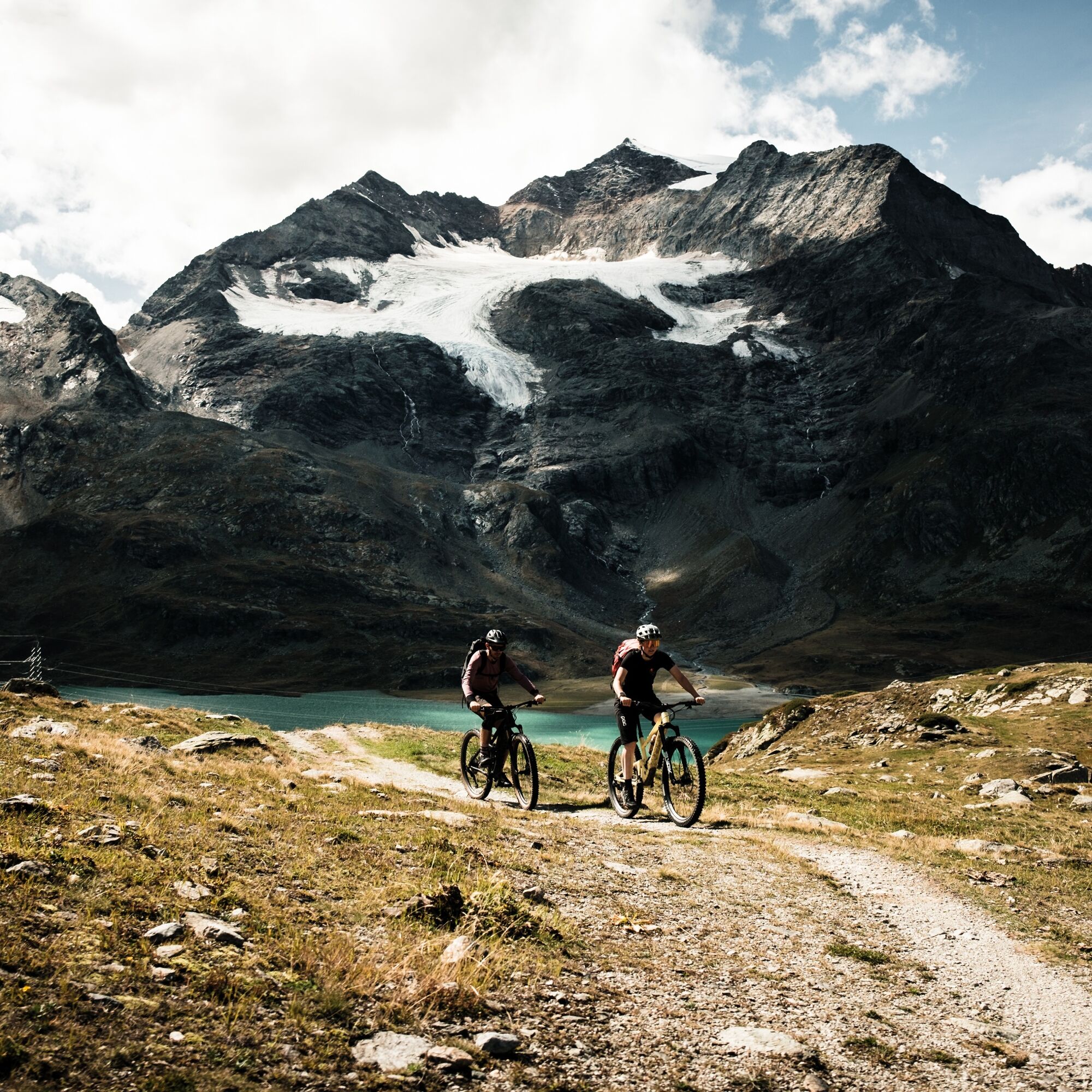
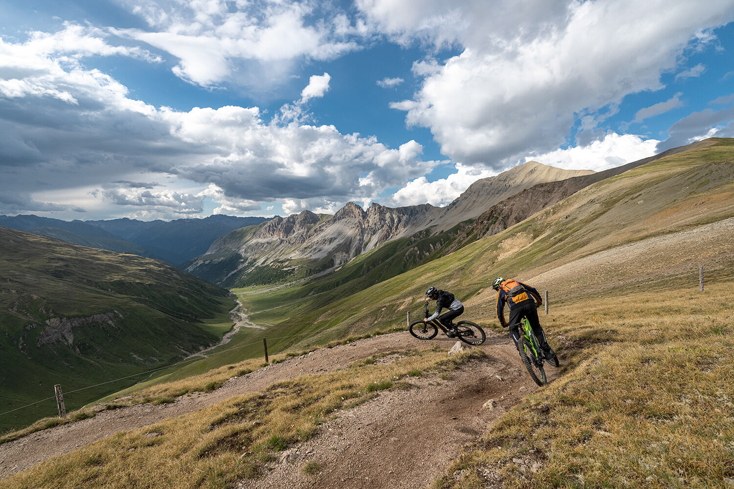
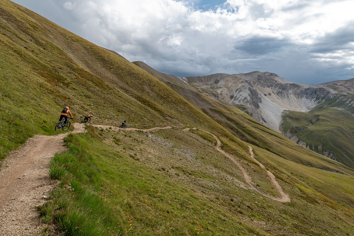
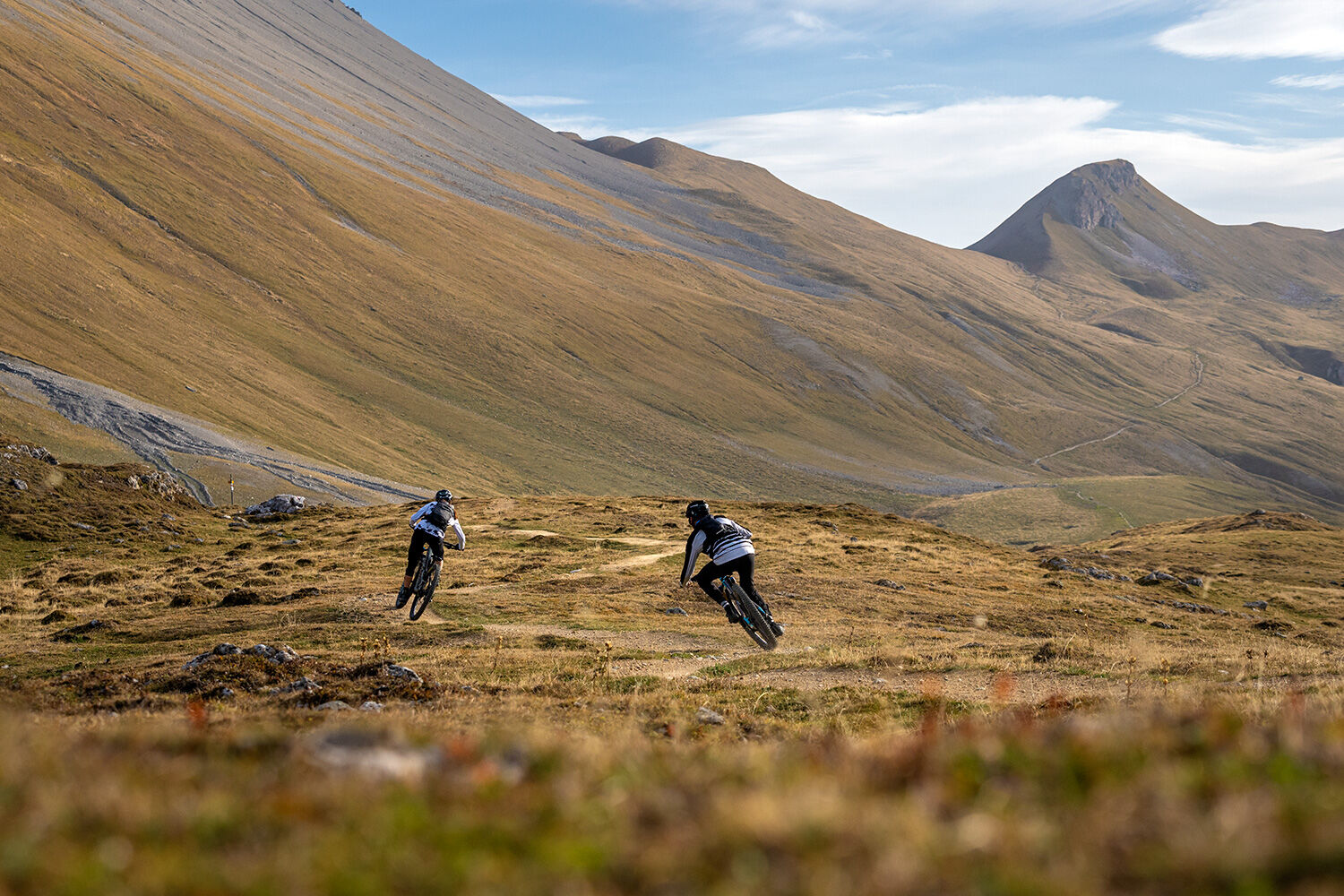
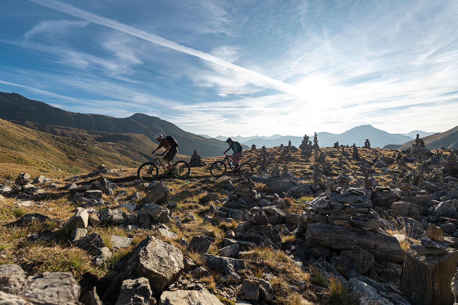
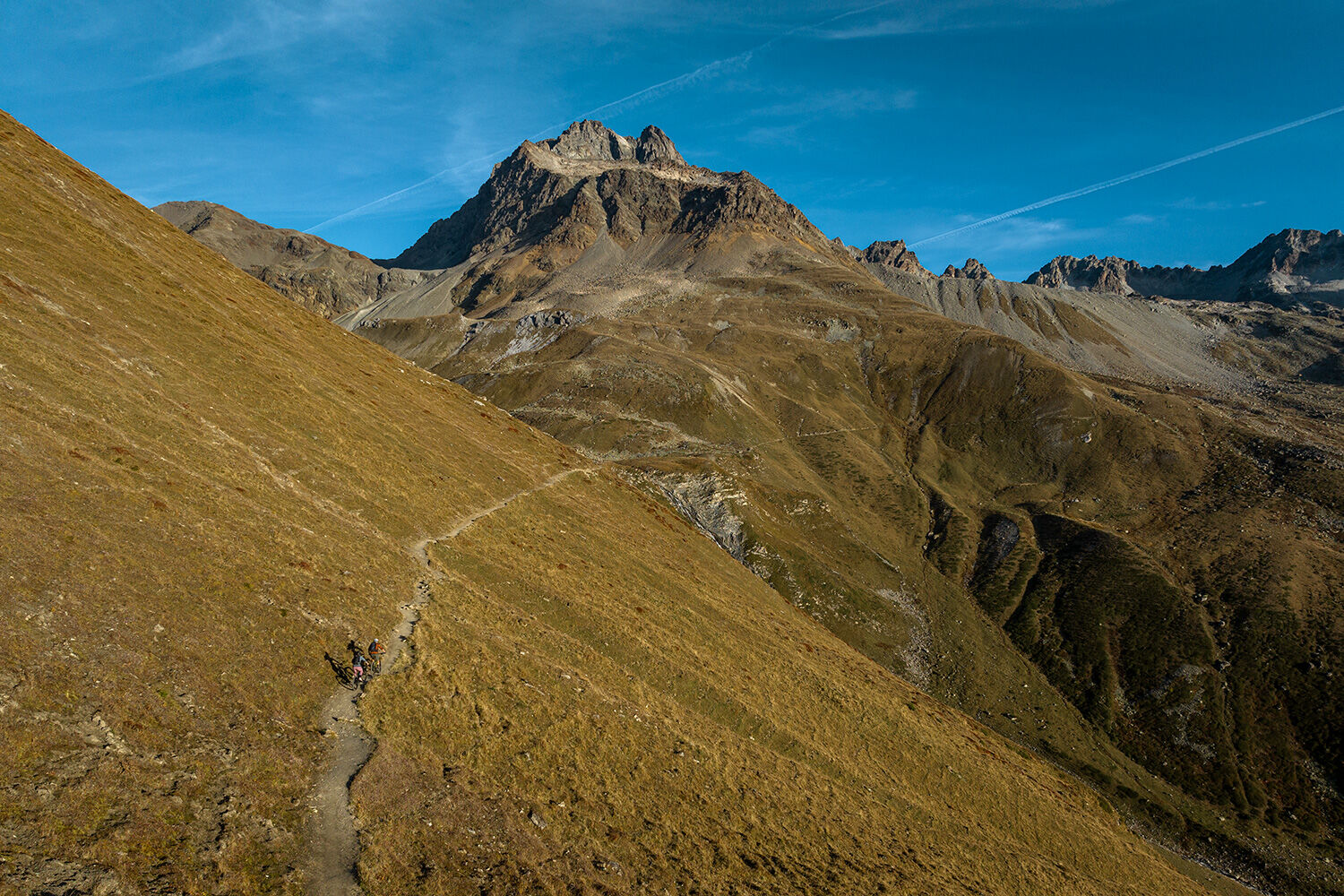
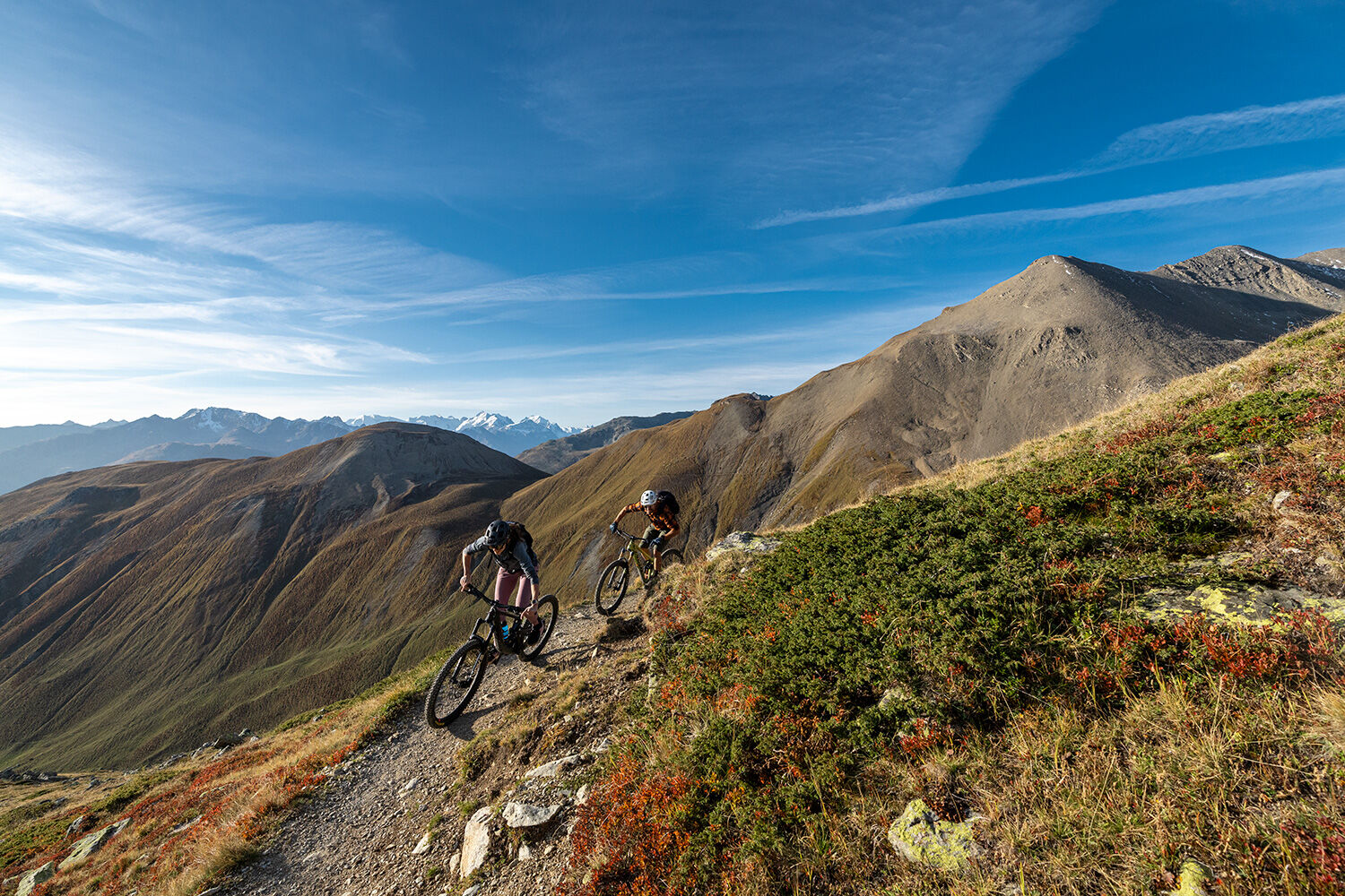
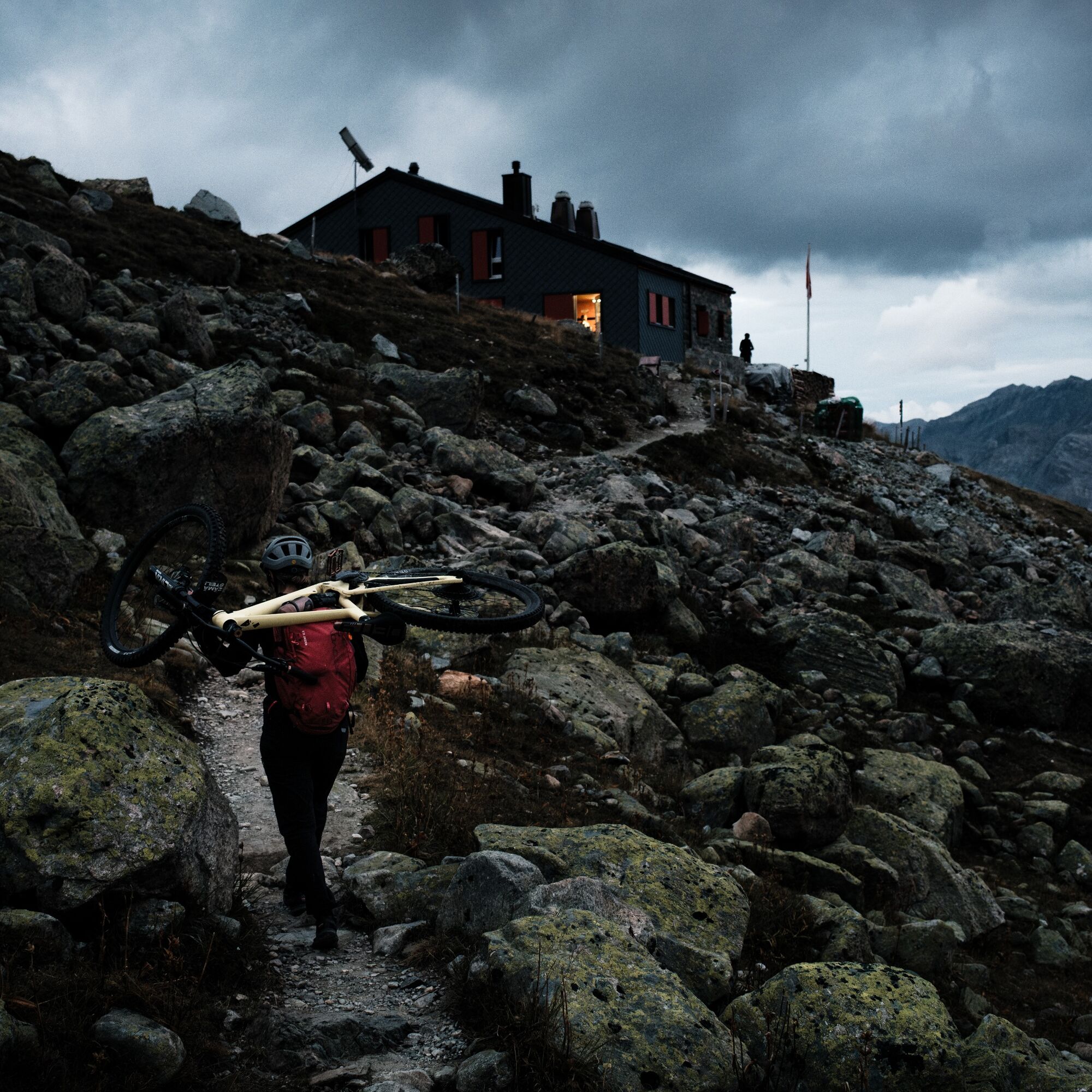
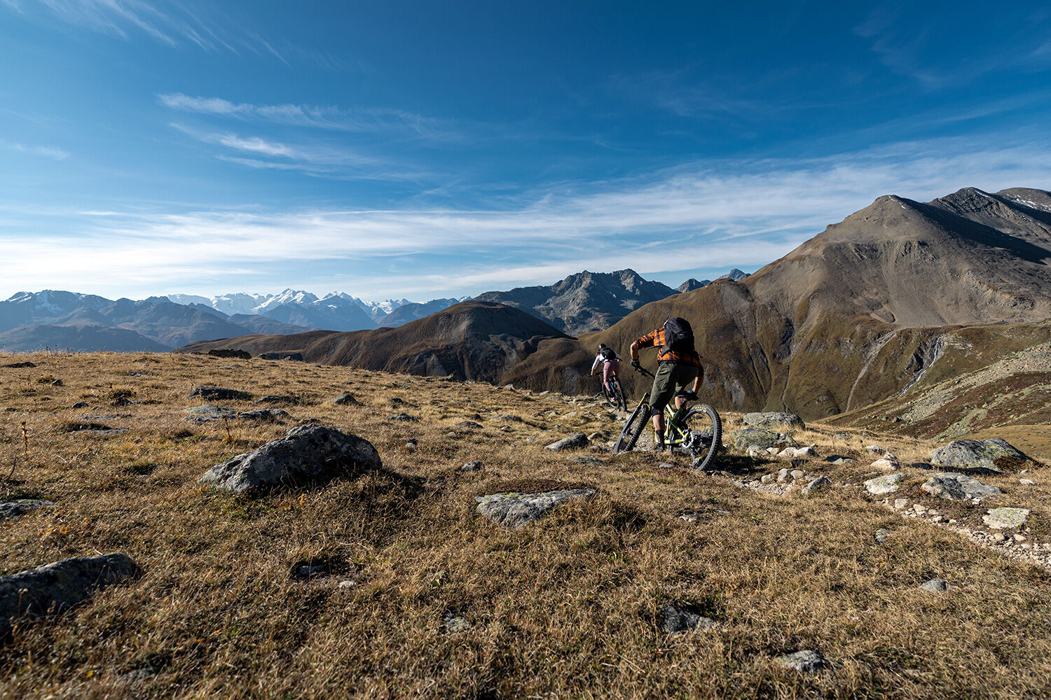
The hut route leads in four stages from Celerina over the Bernina Pass and with an overnight stay at the Alp Grüm viewpoint, over the Forcola di Livigno to Italy. Through the Valle di Federia, it goes...
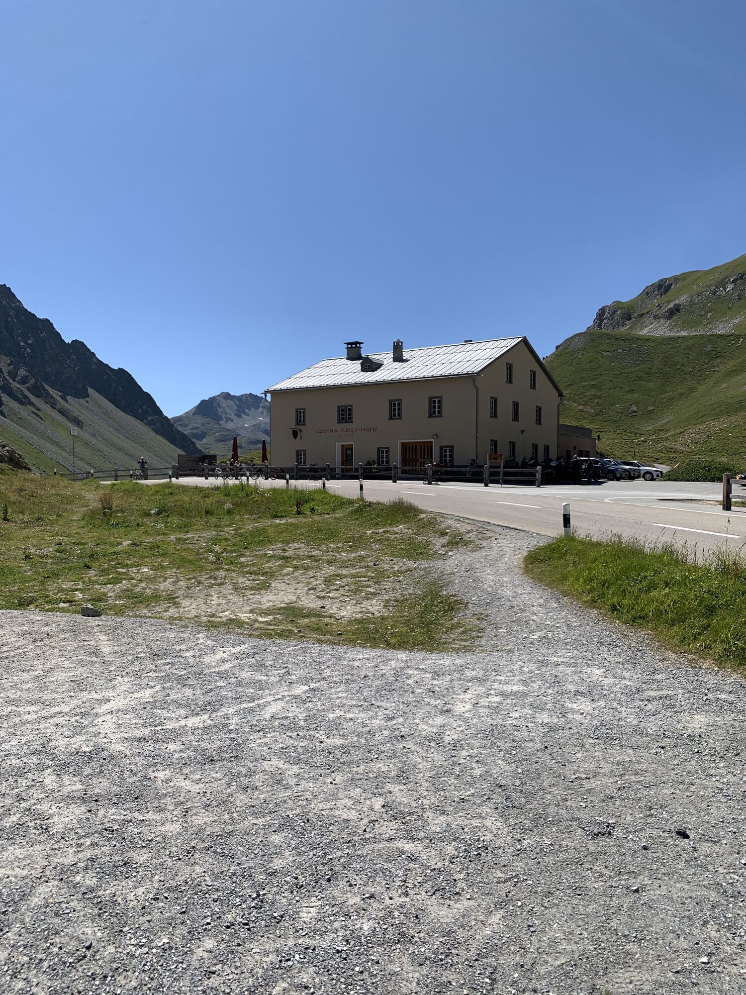
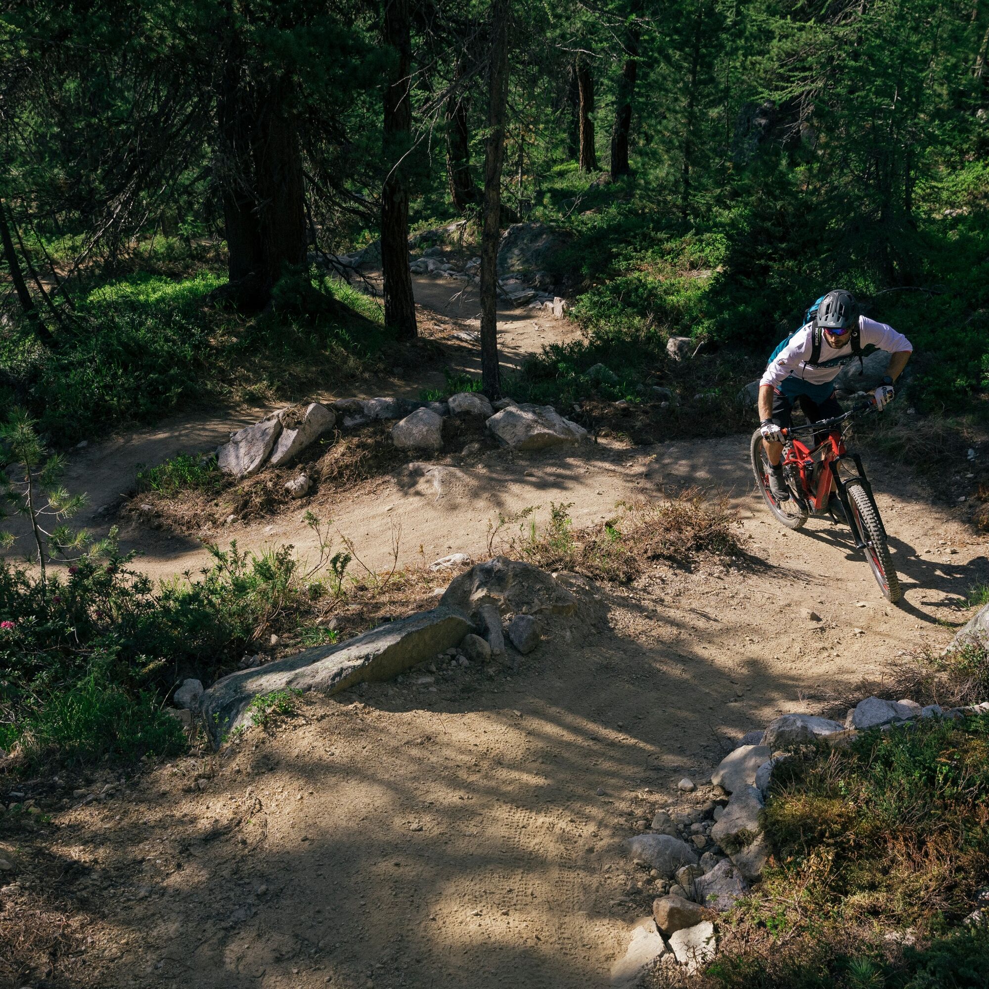
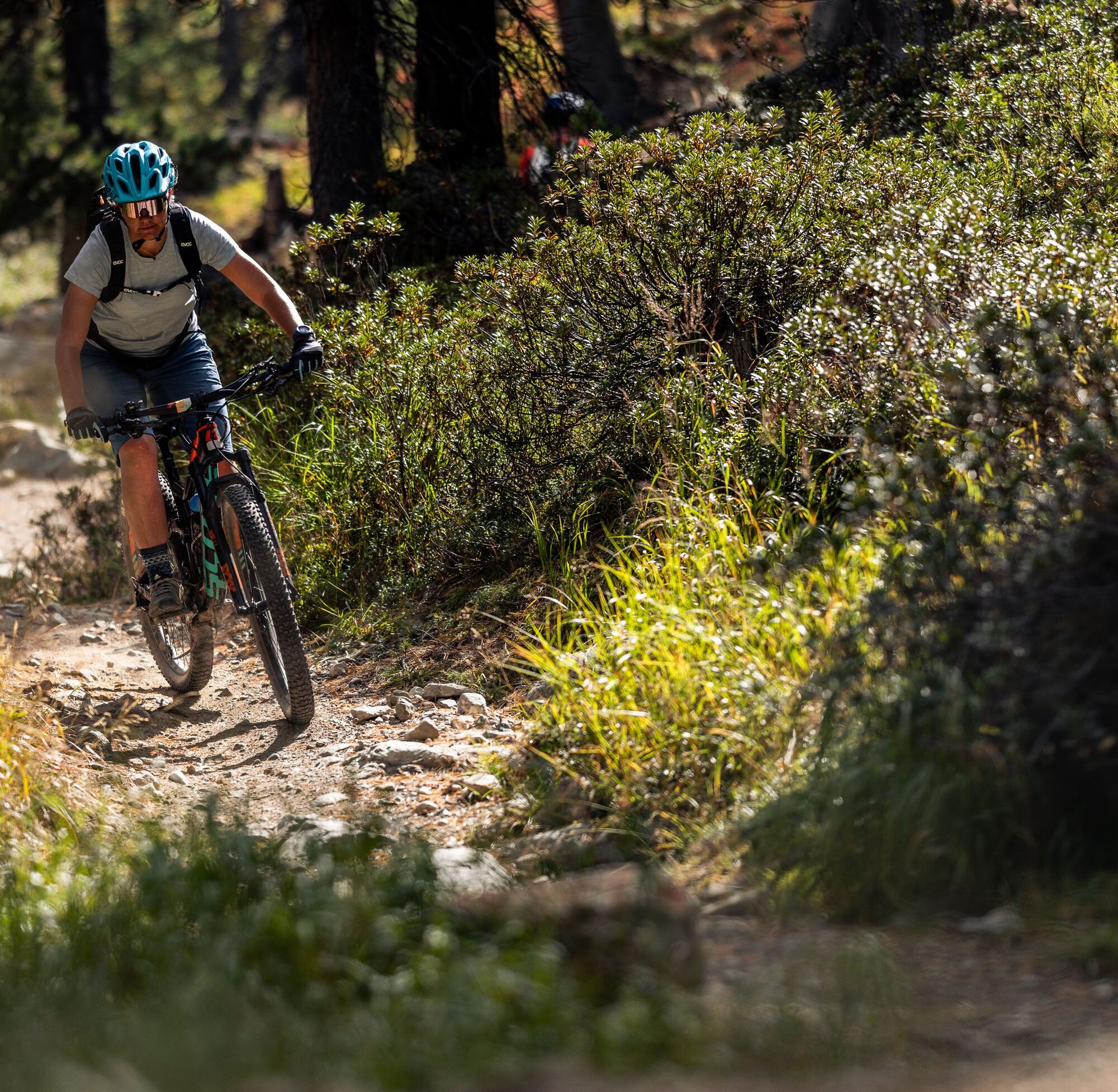
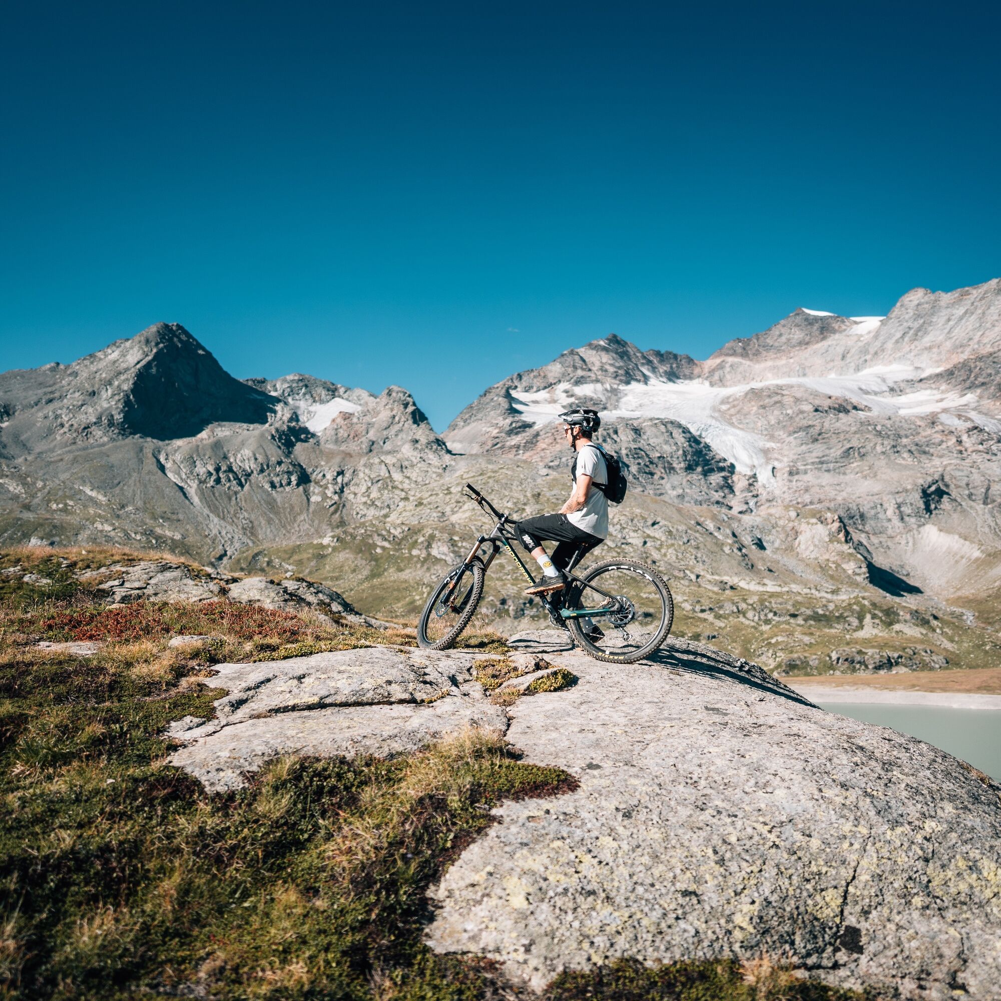
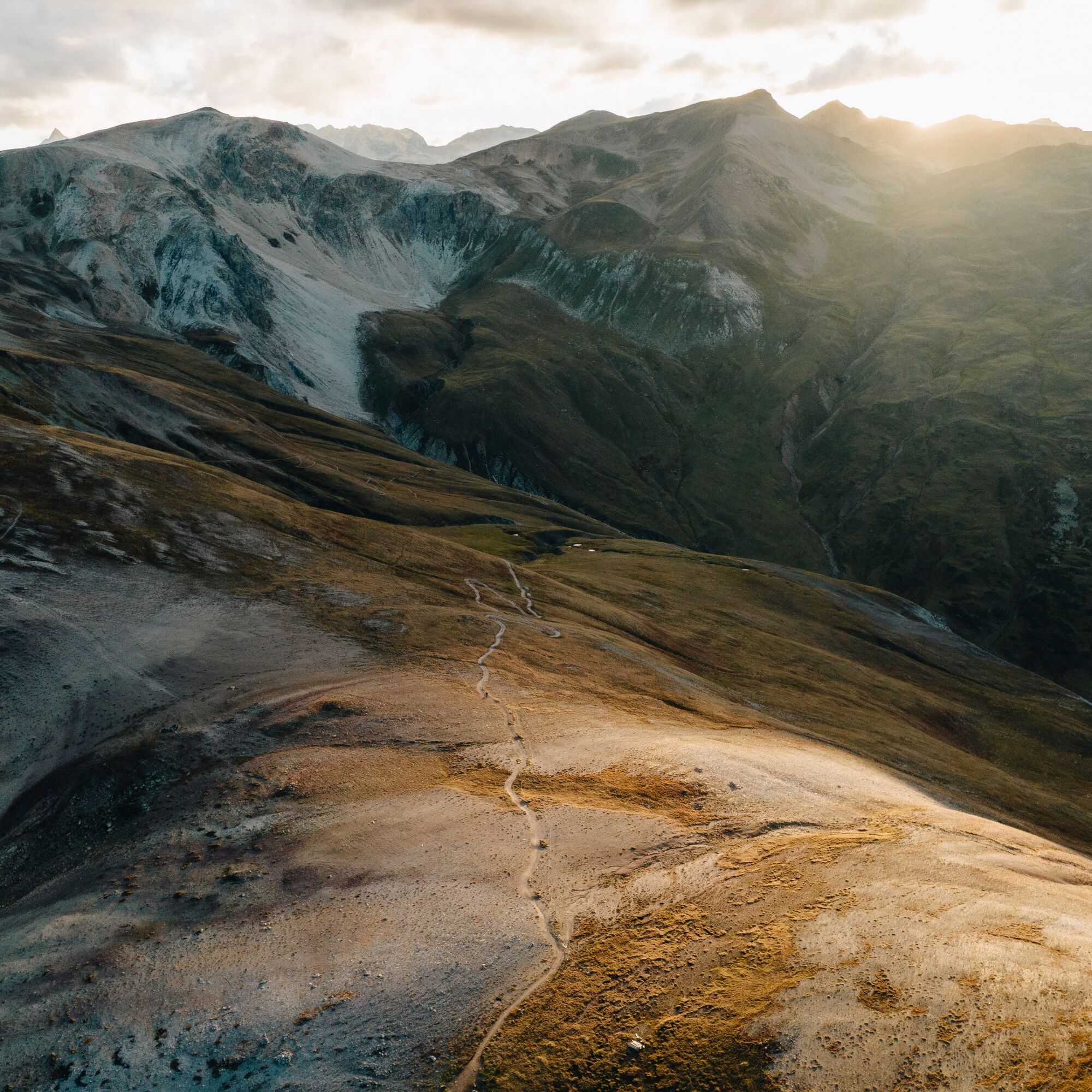
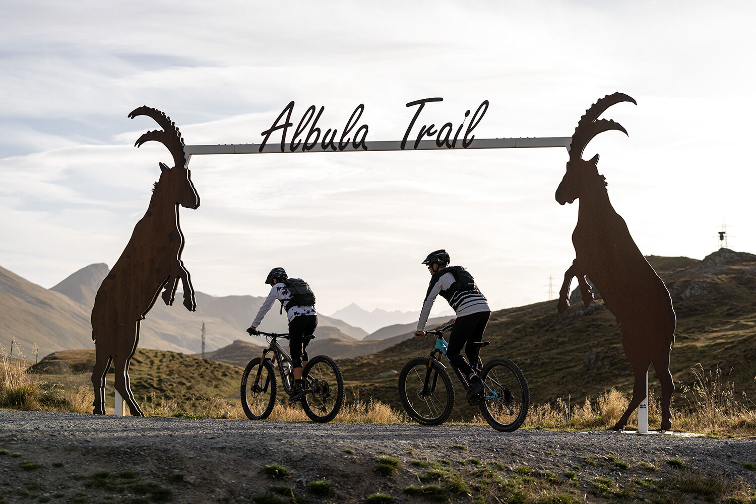
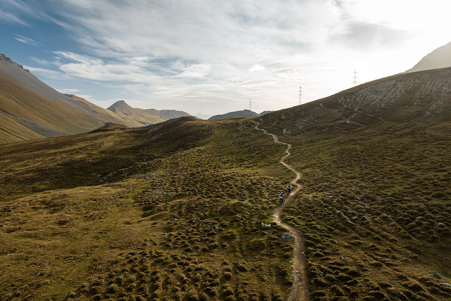
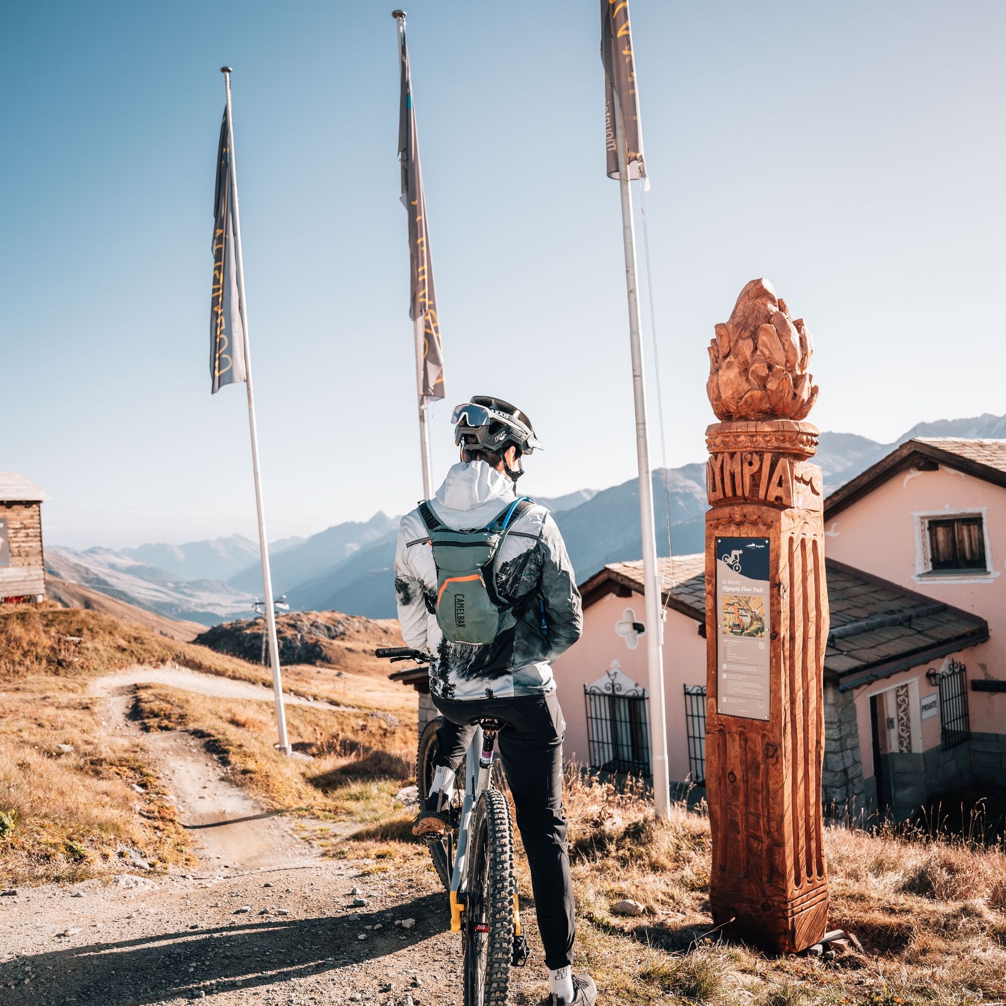
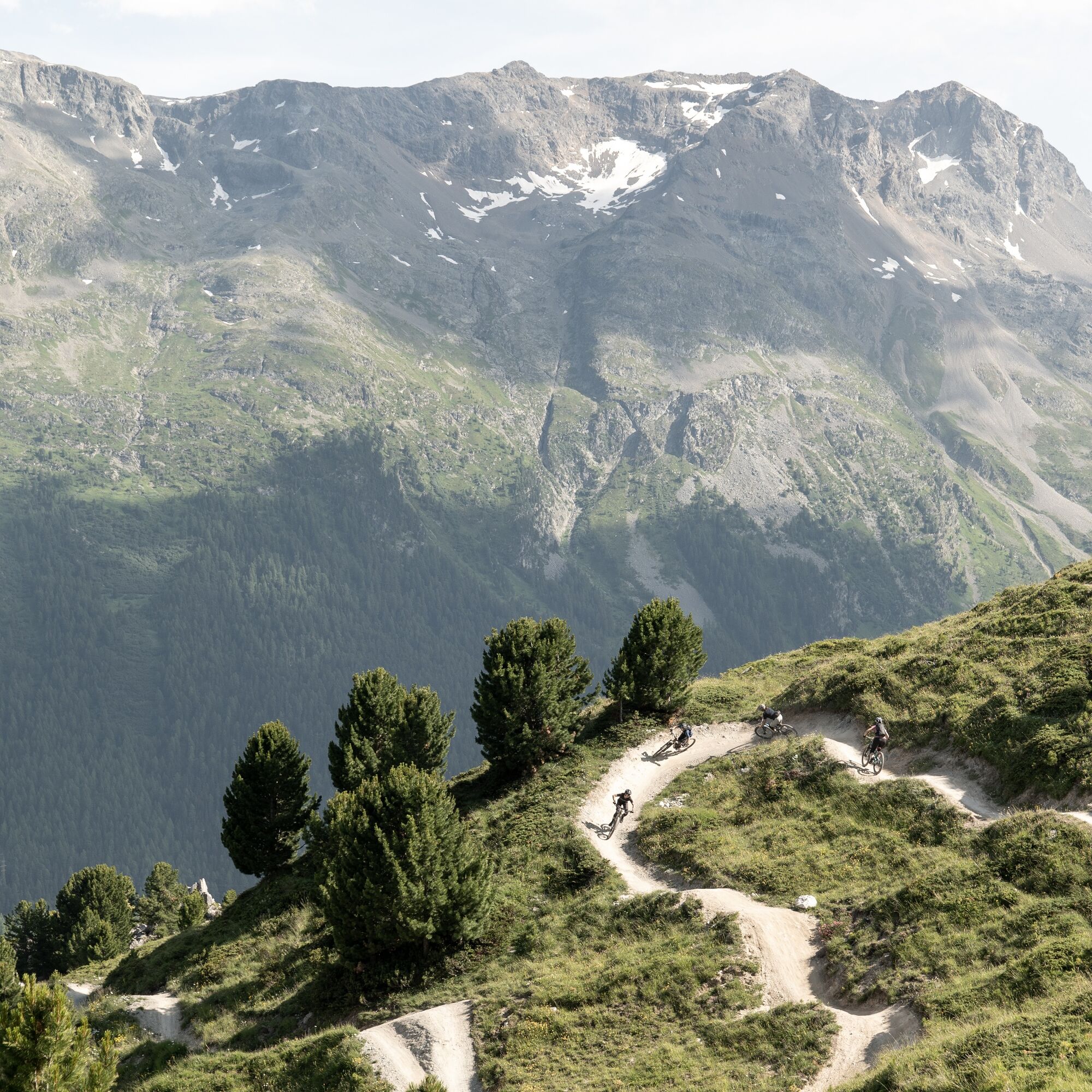
The hut route leads in four stages from Celerina over the Bernina Pass and with an overnight stay at the Alp Grüm viewpoint, over the Forcola di Livigno to Italy. Through the Valle di Federia, it goes up to the Chaschauna Pass and down to the Parkhütte Varusch. Now we change the valley side and cycle from La Punt over the Albula Hospice to the Chamanna d'Es-cha. The next day, it goes down into the valley again and at Samedan up to the Alp Muntatsch and further to Corviglia, where the Olympia Flow Trail forms the crowning finish.
The various huts:
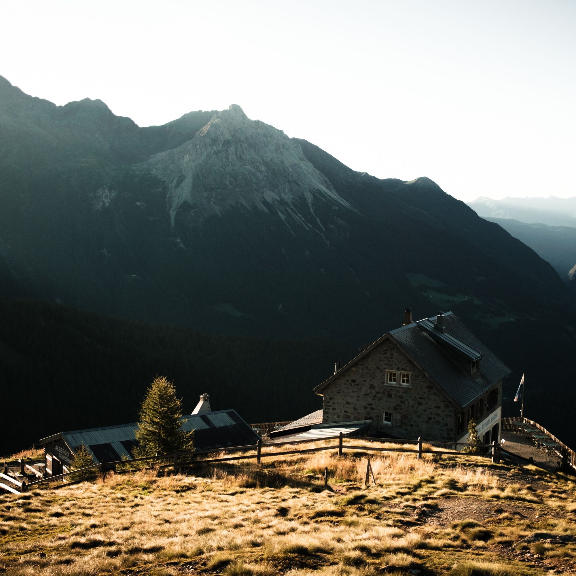
Casa Alpina Belvedere: The guesthouse is an oasis, a retreat far from the hectic everyday life and at the same time the starting point for a discovery trip into the surrounding nature. Casa Belvedere is located above the Alp Grüm railway station. Each room offers its own character as well as an individual view.
Albergo Ristorante Alp Grüm: After the indescribable play of colors of the sunset, calm and silence return, and only the sounds of nature can be heard. The Albergo Ristorante Alp Grüm is located directly at the Alp Grüm railway station. Time for a delicious dinner with the house specialties: Pizzoccheri and Cordon Bleu.
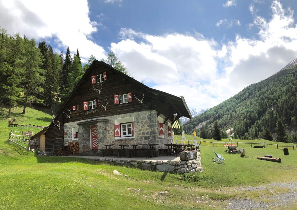
Parkhütte Varusch: The Parkhütte Varusch at the entrance to the national park pampers you with local specialties, and from the terrace, you enjoy fantastic views and, with some luck, you can observe ibex, deer, stags, and chamois.
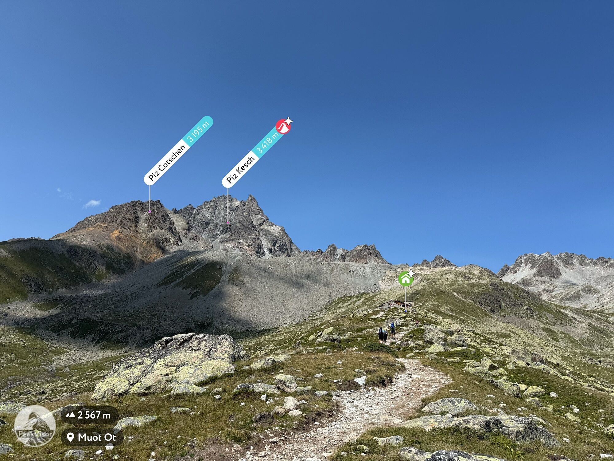
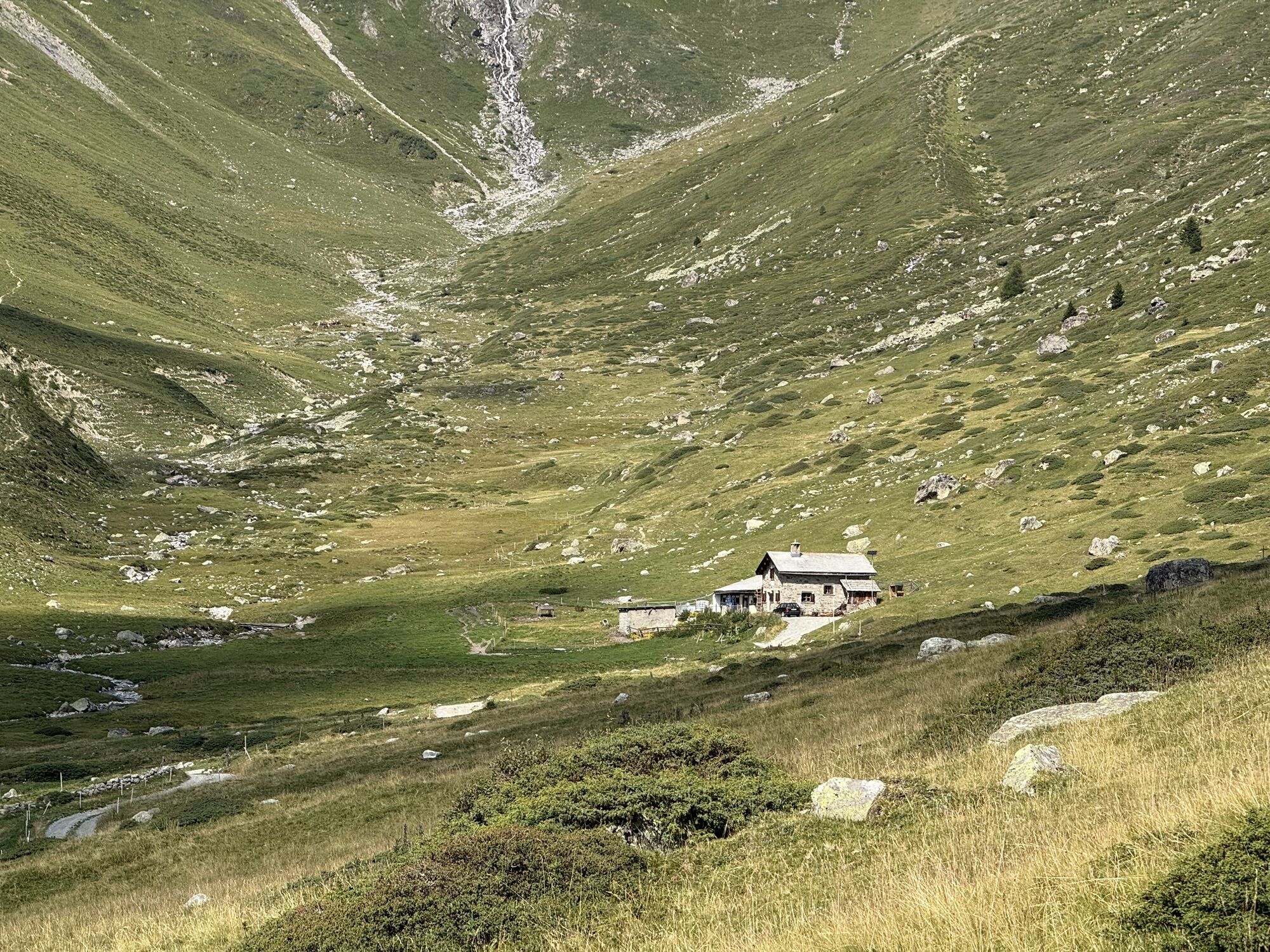
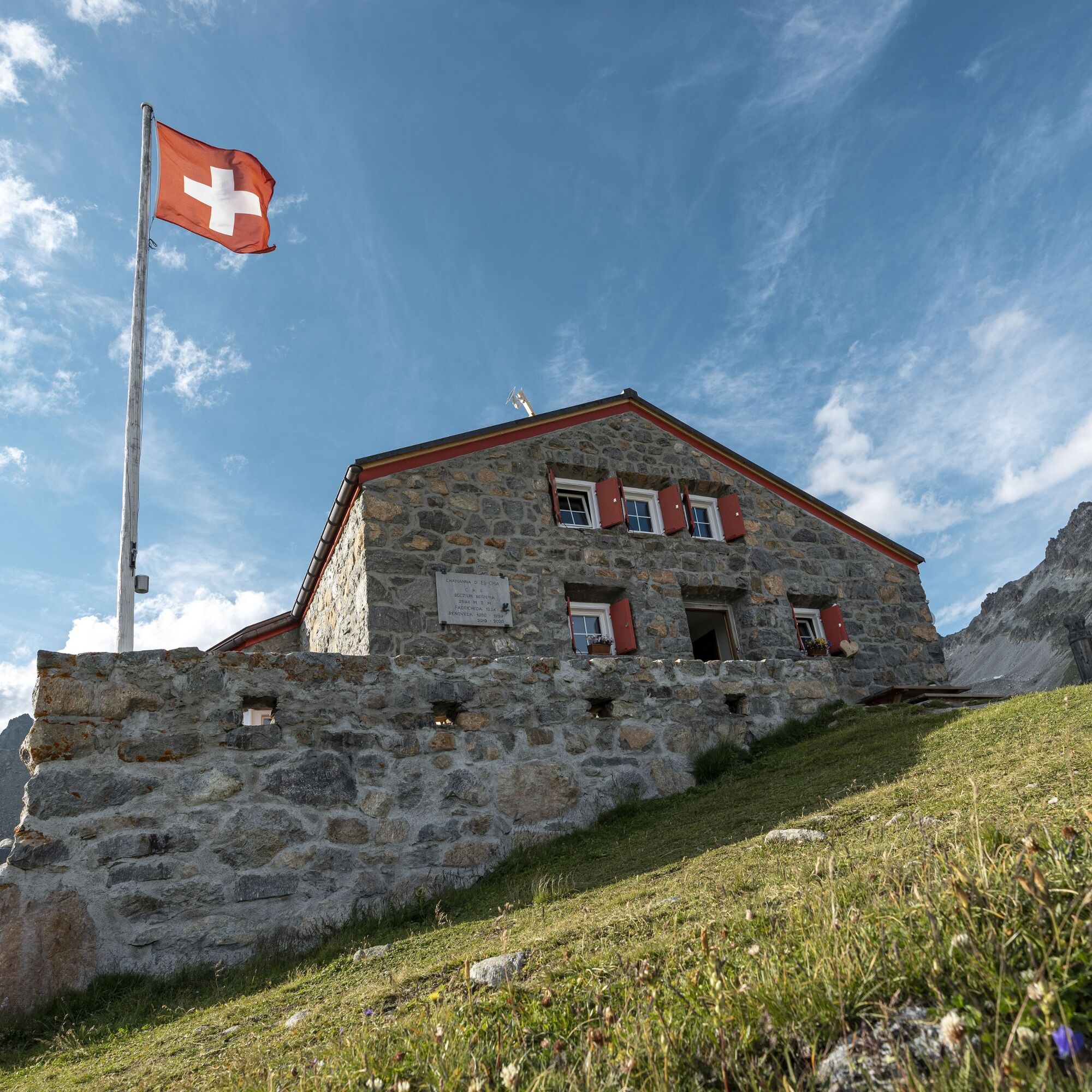
Chamanna d'Es-cha: Like a balcony, the Es-cha hut lies above the Engadin. Behind it towers the Piz Kesch. The panorama is breathtaking and extends over the entire Bernina group. A 2% surcharge is charged for credit card payments.
The huts must be reserved in advance!
Further information
Engadin Tourism AG
Via Maistra 1
CH-7500 St. Moritz
Phone: +41 81 830 00 01
E-mail: allegra@engadin.ch
Internet: www.engadin.ch


S2
Bookings
Alp Grüm: https://www.belvedere-alpgruem.ch/, https://www.alpgrum.com/
Varusch: https://www.varusch.ch/home
Chamanna d'Es-cha: https://www.es-cha.ch/
Extend your hut route stay at a bike hotel in Celerina: Bike Hotels
Webové kamery z prohlídky
-
Corviglia
-
St. Moritz / Samedan - Muottas Muragl
-
Camping Morteratsch
-
Mottolino
-
Seggiovia Federia Monte
-
Monte Della Neve
-
Marguns - Plateau Nair
-
Samedo - Engadin Golf
-
St. Moritz / Samedan - Muottas Muragl
-
St. Moritz / Samedan - Muottas Muragl
-
St. Moritz / Samedan - Muottas Muragl
-
St. Moritz / Samedan - Muottas Muragl
-
Berninapass
-
Corviglia
-
Corviglia
-
Corviglia
-
Corviglia
-
Corviglia
-
Corviglia
-
Corviglia
-
Livigno - Mottolino
-
Mottolino - Bike Park
-
Livigno Ski School Area
-
Diavolezza Bergstation
-
Diavolezza Bergstation
-
Diavolezza Bergstation
-
Diavolezza Bergstation
-
Diavolezza Bergstation
-
Diavolezza Bergstation
-
Diavolezza Bergstation
-
Sassalbo
-
Diavolezza Bergstation
-
Celerina - Cresta Palace
-
Livigno
-
Piz Nair - St. Moritz
-
Livigno - Crap
-
Zuoz
-
Celerina - Skiwiese Provuler
-
St. Moritz / Trais Fluors Bergstation
-
La Punt - Wasserreservoir
Získejte přehled
Vždy živě na místě s více než 9 500 webkamerami. bergfex Jako uživatel Pro si nyní můžete zobrazit odpovídající webové kamery pro mnoho prohlídek v aplikaci prohlídky z. Můžete si tak přímo prohlédnout aktuální podmínky.
Oblíbené prohlídky v okolí
-
4.9
Circular hike Val Trupchun in the Swiss National Park
středníTuristika 13.8 km -
4.7
Panoramic route Muottas Muragl
světloTuristika 6.75 km -
5.0
Muottas Muragl - Segantini hut - Pontresina
středníTuristika 6.46 km -
4.8
Alp Languard - Segantini Hut - Muottas Muragl
středníTrailrunning 6.45 km -
Muottas Muragl - Segantini Hütte - Pontresina
středníTuristika 17.5 km -
5.0
Lagalb - Val Minor - Motta Bianca - Lagalb
středníTuristika 9.80 km -
4.8
National Park: Grimmels (circular hike)
světloTuristika 6 km -
5.0
Alp Languard - Paradis Hut - Pontresina
světloTuristika 7.05 km -
5.0
Lej Muragl
středníTuristika 7.39 km -
5.0
Crap da la Pare' with Joëlette
světloTuristika 4.58 km

Pěší turistika a stopování


Nenechte si ujít nabídky a inspiraci pro vaši příští dovolenou
Vaše e-mailová adresa byl přidán do poštovního seznamu.





