






Val Sumvitg circular route
Úroveň obtížnosti: S0
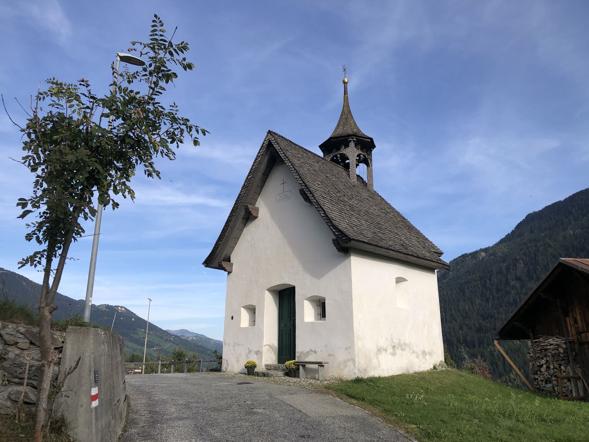
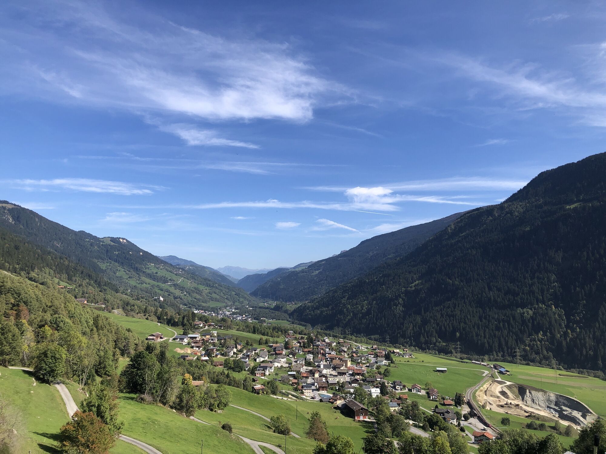
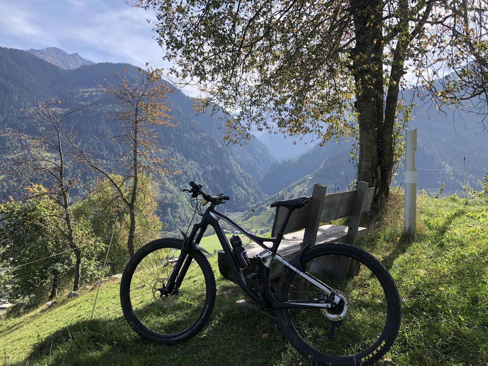
The route runs exclusively on secondary roads as well as forest and natural roads, making it perfect for beginners, e-bikes, and gravel bikes. From Rabius you ride downstream and shortly after the Beer...
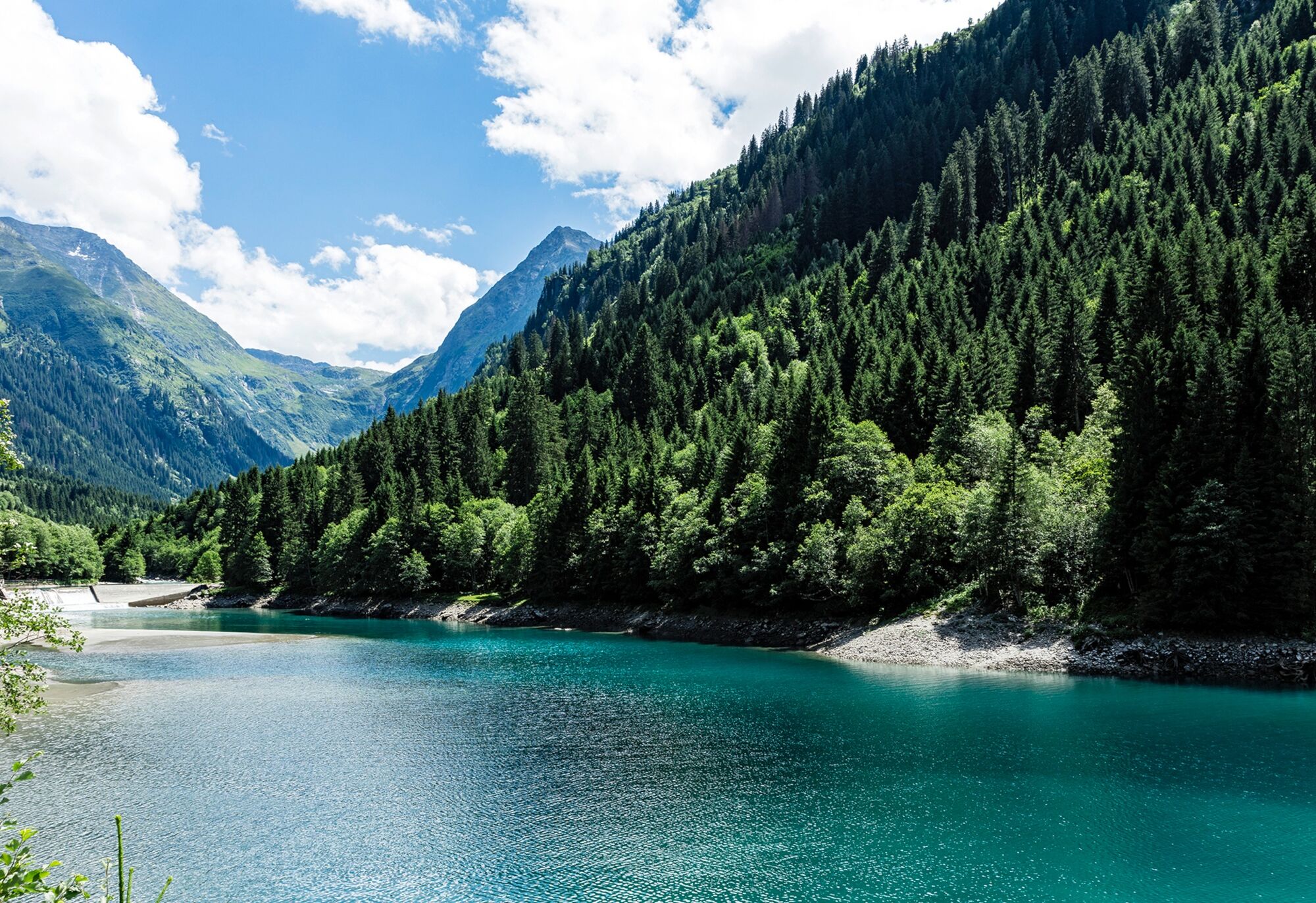
The route runs exclusively on secondary roads as well as forest and natural roads, making it perfect for beginners, e-bikes, and gravel bikes. From Rabius you ride downstream and shortly after the Beer SA company building turn right. Then you follow the natural road to the railway underpass, then turn right and go via Marias and Igniu onto the secondary road towards Surrein. In the village center at Giachentrina, the route zigzags uphill. Shortly afterwards, you reach the secondary road of Val Sumvitg. After passing through the adventurous road tunnel “Barschaus”, the valley opens up and you reach the small village of Val. You then continue towards Tenigerbad, passing an old spa hotel. After riding downhill and crossing the young Rein da Sumvitg river, you reach the wild romantic reservoir Lag da Runcahez. From here you can enjoy the ride on the natural road and admire the remote and largely pristine Val Sumvitg. Shortly afterwards you reach the Alp Val Tenigia, where a fireplace and the river invite you to stay. On the way back to Rabius, you ride downstream again. After crossing the dam of Lag da Runcahez, the path continues on the left side of the river to Tenigerbad. Then you ride again through the tunnel, always following the secondary road until the junction to Cumpadials. There you turn right and pass through Surrein along the valley floor. After crossing the Rhine, you turn left onto the old natural road towards Rabius. A short break in the nearby Parkigniu with picnic area and bike skills park is highly recommended. Finally, you follow the old road uphill to the starting point in Rabius.

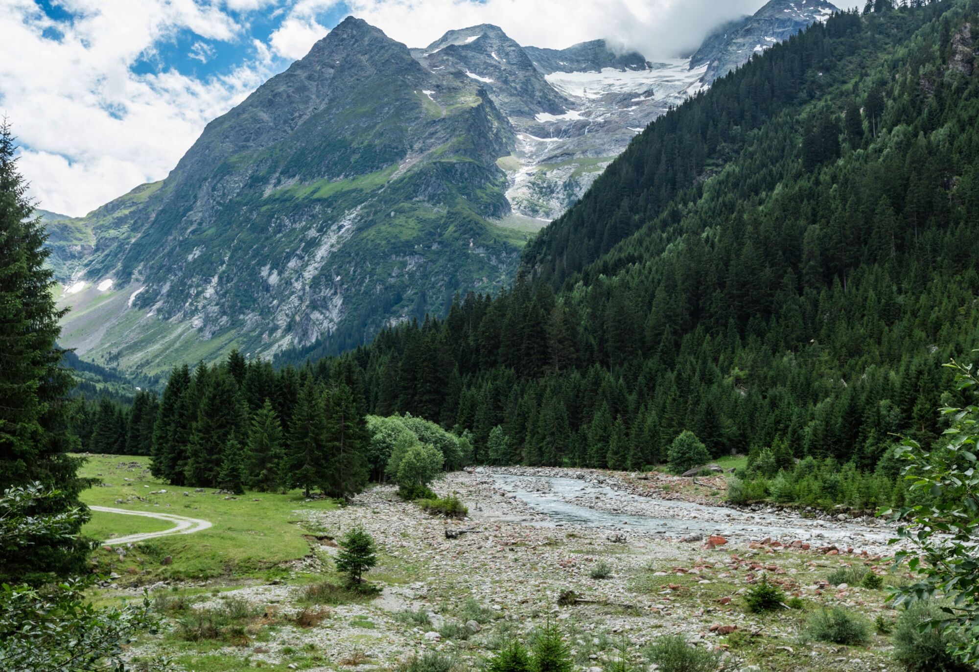
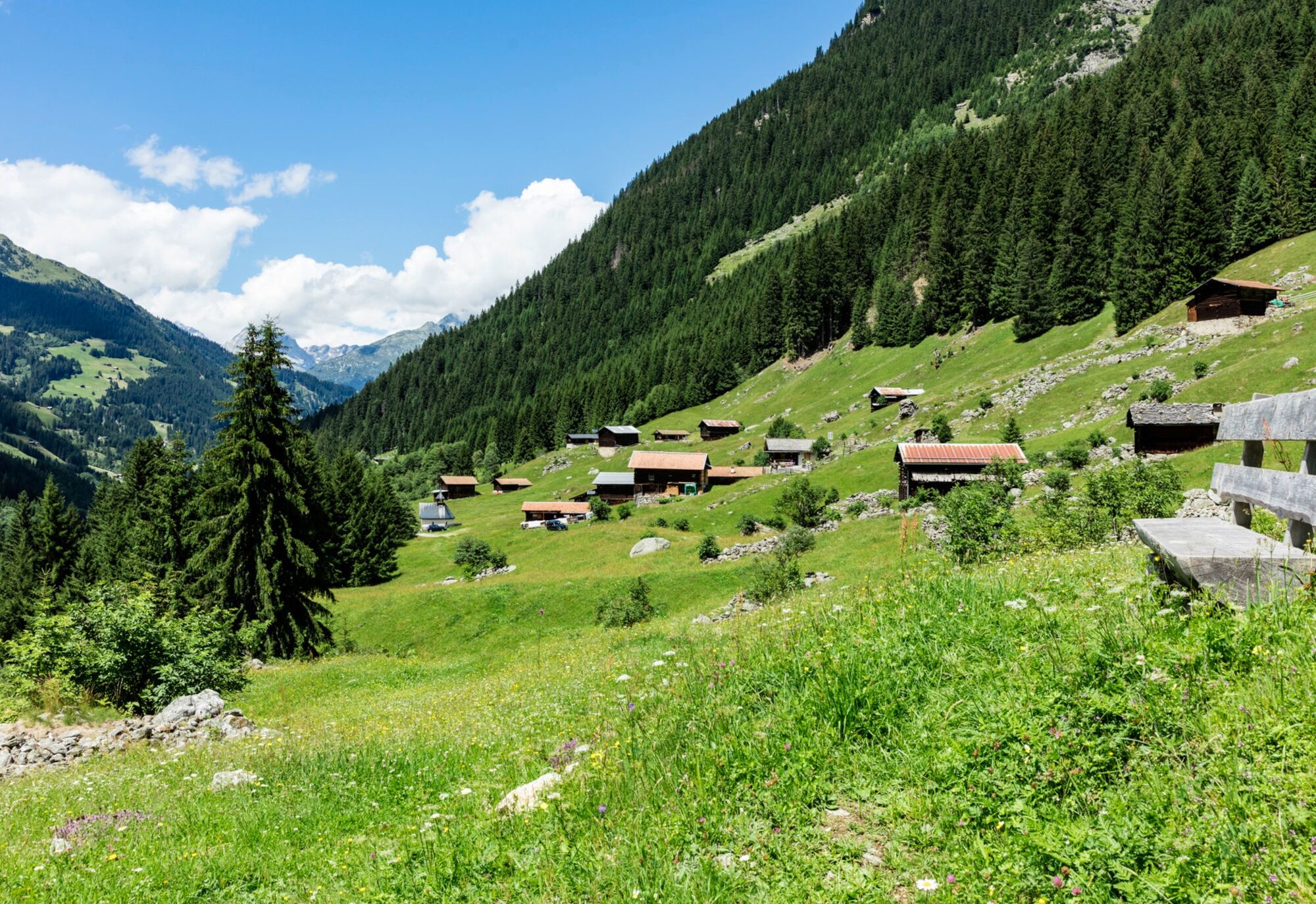
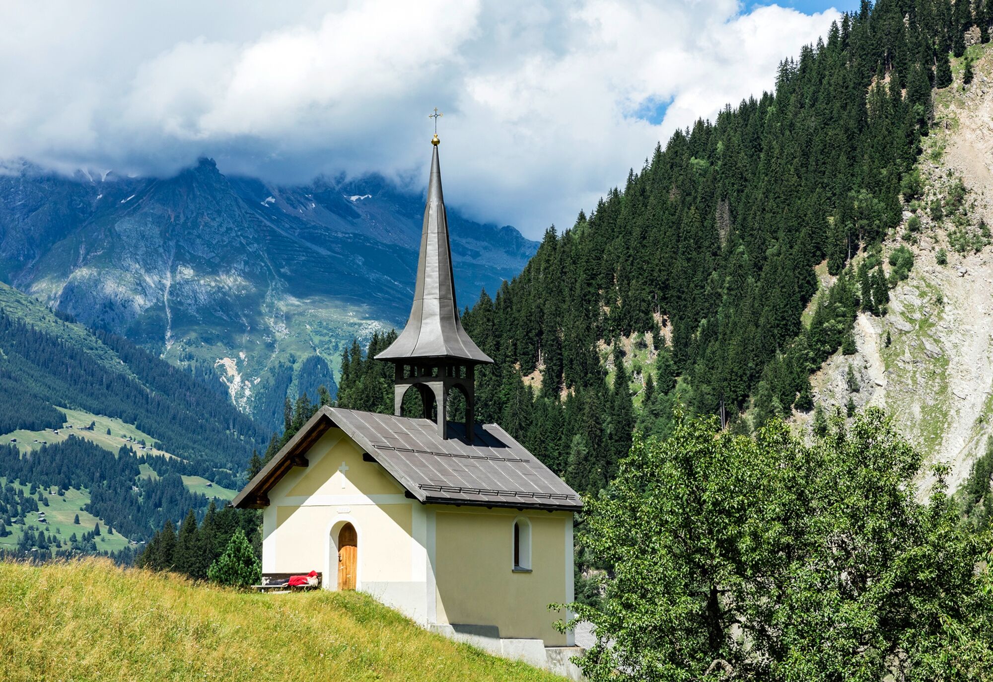

Rabius, Hotel Greina parking lot - Curtins - Surrein - Val Sumvitg - Runcahez - Val Sumvitg - Surrein - Rabius, Hotel Greina parking lot
MTB, helmet, possibly gloves, bike shoes, glasses, rain and sun protection, drink, repair kit, first aid kit
In uncertain weather conditions, the route should not be attempted. Weather changes in the mountains are frequent. If a rain front or similar develops during the route, you should turn back in good time.
Respect other trail users – Trail tolerance!
This trail is also suitable for e-bikes.
Take the A13 to Reichenau, then main road 19 via Flims to Ilanz and further on to Rabius.
From the Grisons canton capital Chur, take the Rhaetian Railway through the spectacular Rhine Gorge to Ilanz and further on to Rabius.
Parking options at the train station in Rabius.
S0
A visit to the Ustria Val Sumvitg in Surrein.
Oblíbené prohlídky v okolí
-
5.0
High valley Val Frisal
heavyTuristika 12.4 km -
Giro della Greina
Turistika 50.6 km -
1.0
Wasserfälle Bauns bei Sedrun
světloTuristika 3.45 km -
5.0
2-day hike Greina high plateau
středníTuristika 14.9 km -
Panoramic route between Piz Mundaun and Péz Sezner
středníTuristika 6.75 km -
Sedrun - Segnas - Disentis
světloTuristika 9.77 km -
4.3
Around the Grep da Plaids
středníTuristika 8.05 km -
Piz Terri, 3.149 m
středníVysokohorská turistika 6.92 km -
4.7
The Puntegliashütte at the foot of the Tödi massif
heavyTuristika 13.5 km -
5.0
Hike Vrin - Uors over the suspension bridge Val da Silgin
středníTuristika 12.3 km
Pěší turistika a stopování


Nenechte si ujít nabídky a inspiraci pro vaši příští dovolenou
Vaše e-mailová adresa byl přidán do poštovního seznamu.





