


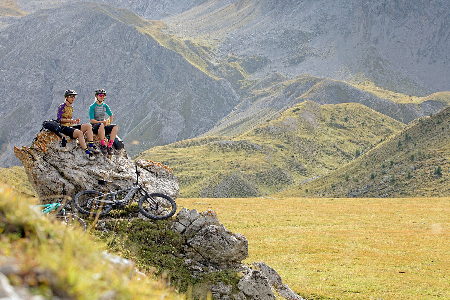
National Park Region - E-Mountain Bike Tour
Úroveň obtížnosti: S2
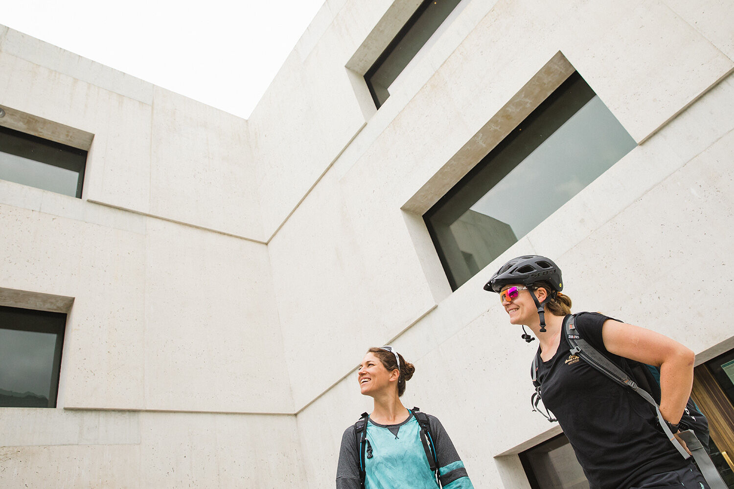
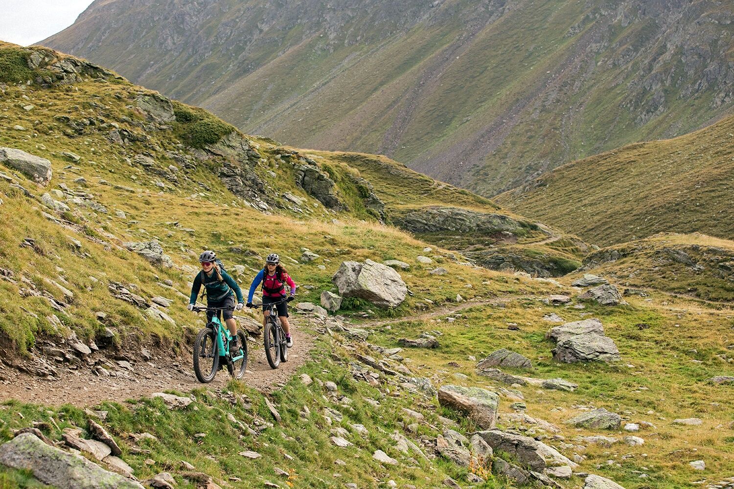
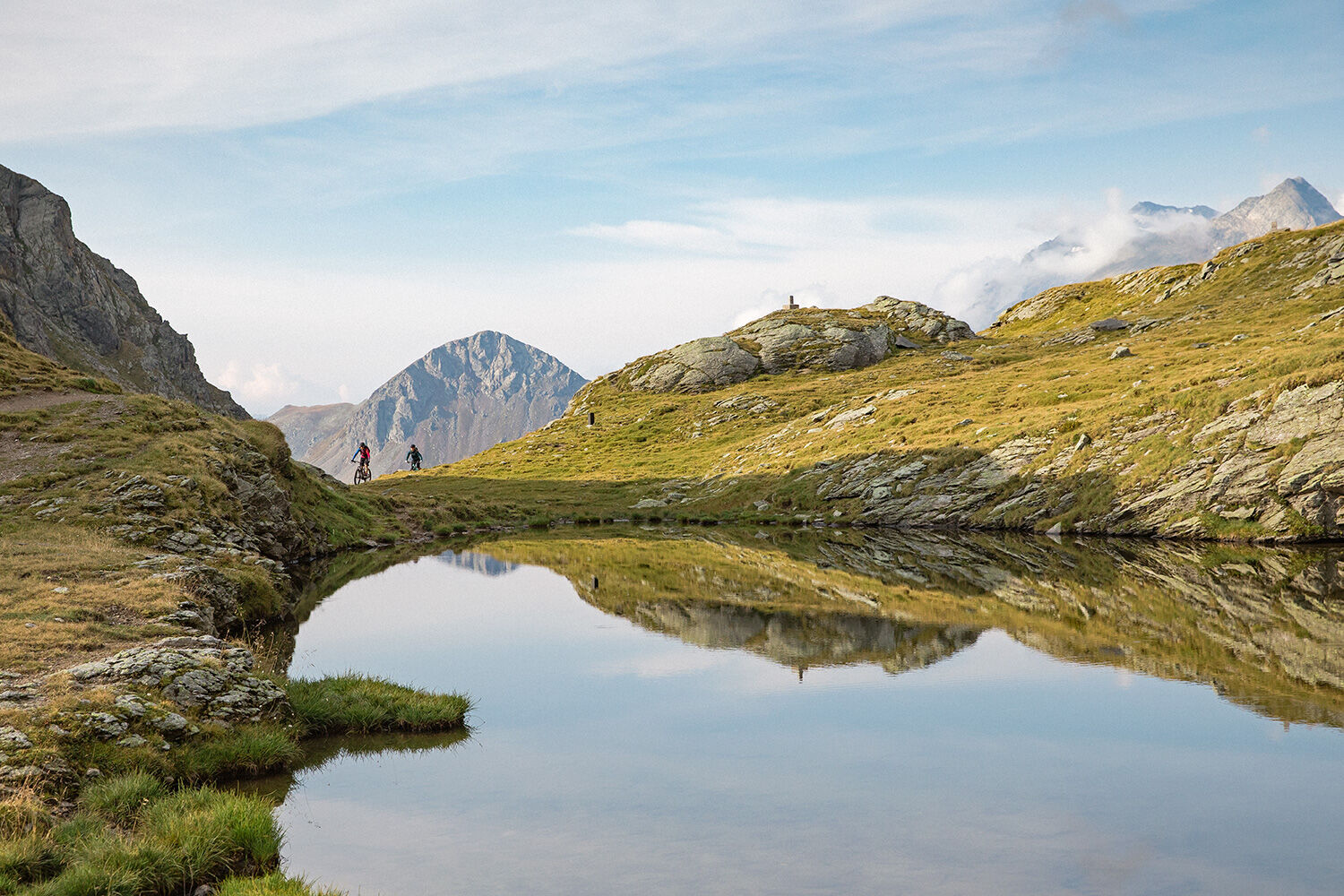
Fotografie našich uživatelů
-
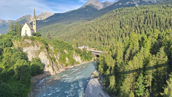
 © Terlizzi LinoVytvořeno dne 15.07.2023
 -
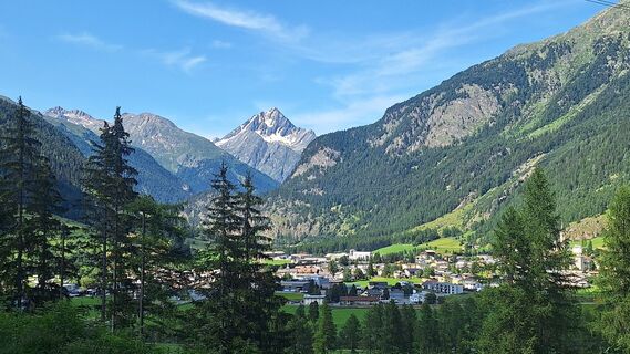
 © BBVytvořeno dne 18.08.2025
 -
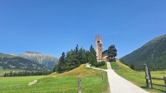
 © BBVytvořeno dne 18.08.2025
 -
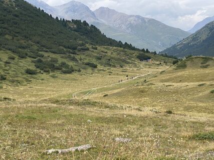
 © BBVytvořeno dne 18.08.2025
 -
 © Bartli MargadantVytvořeno dne 31.07.2025
 -
 © lotharkoernerVytvořeno dne 22.07.2025
 -
 © lotharkoernerVytvořeno dne 22.07.2025
 -
 © lotharkoernerVytvořeno dne 18.07.2025
 -

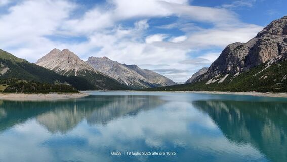
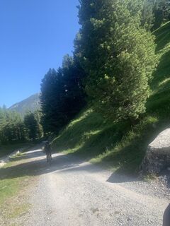
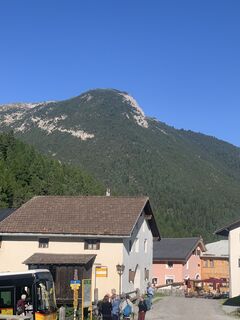
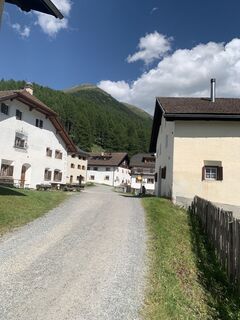
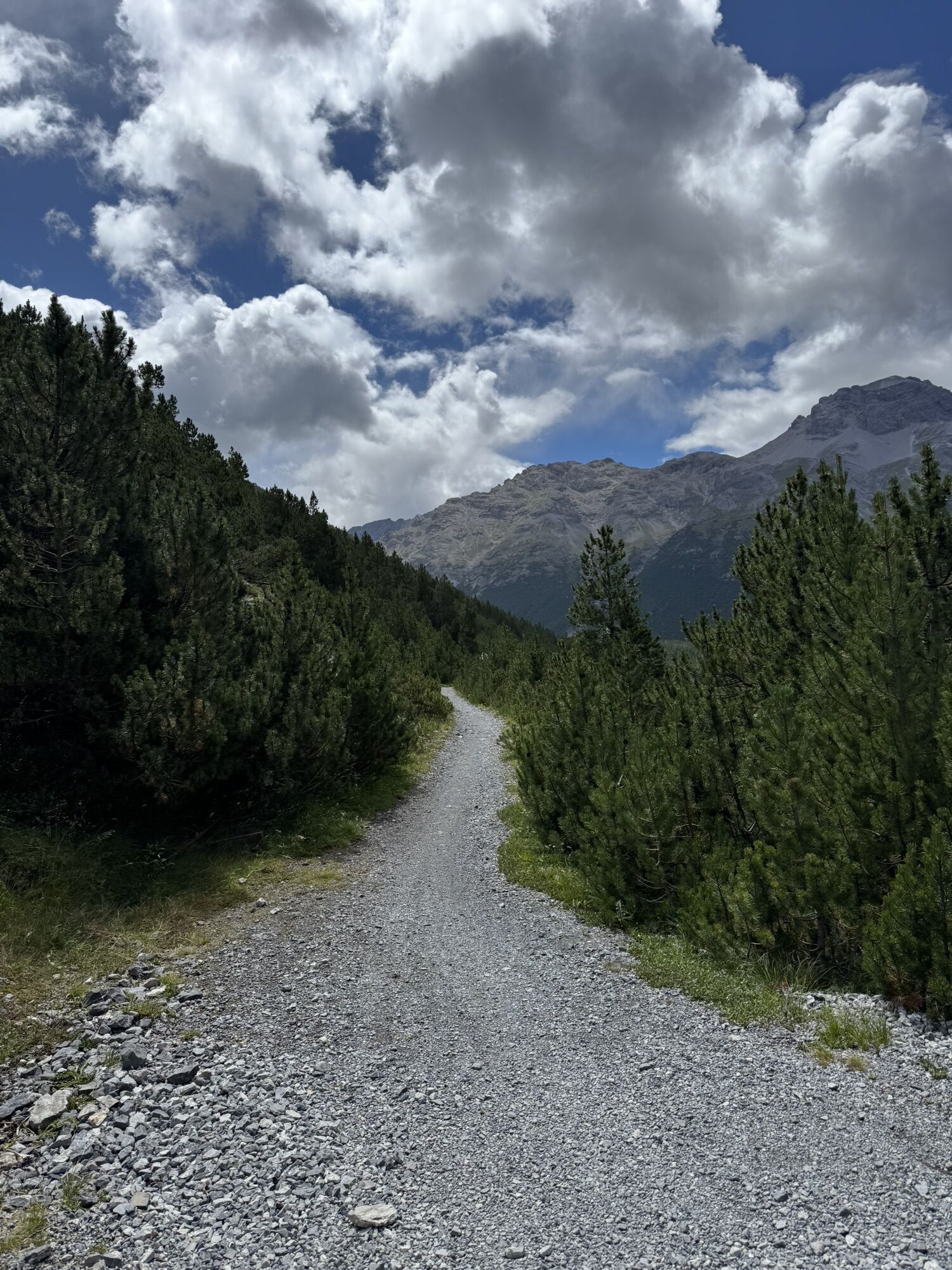
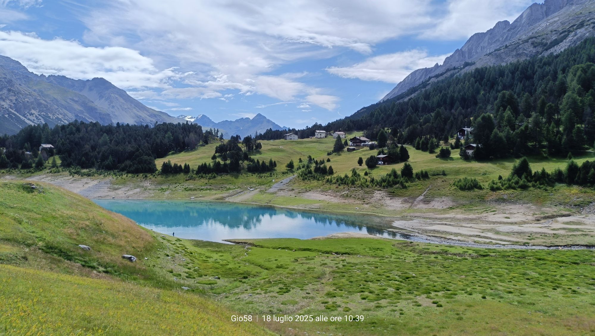
 © Gio58Vytvořeno dne 18.07.2025
 -
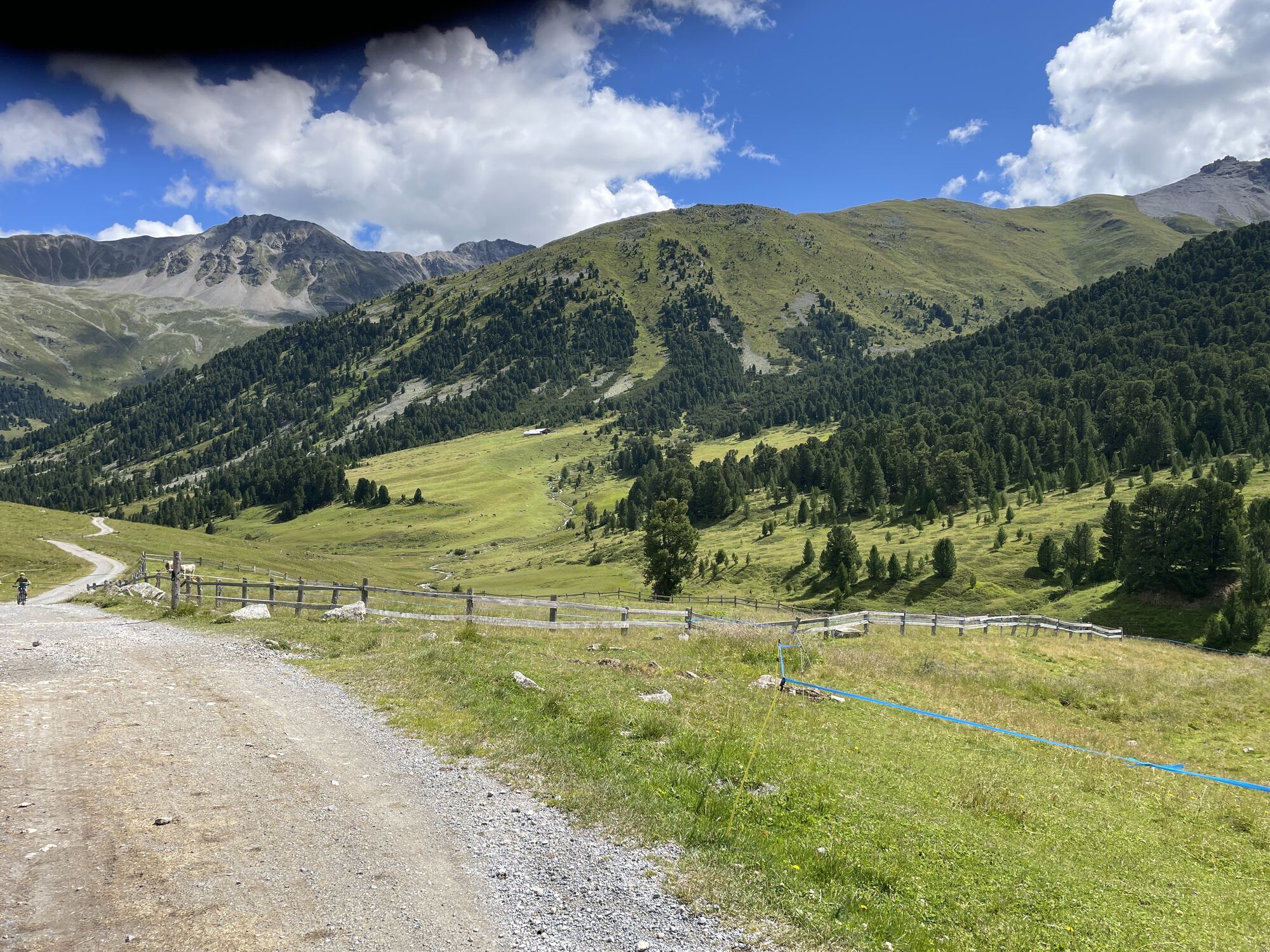
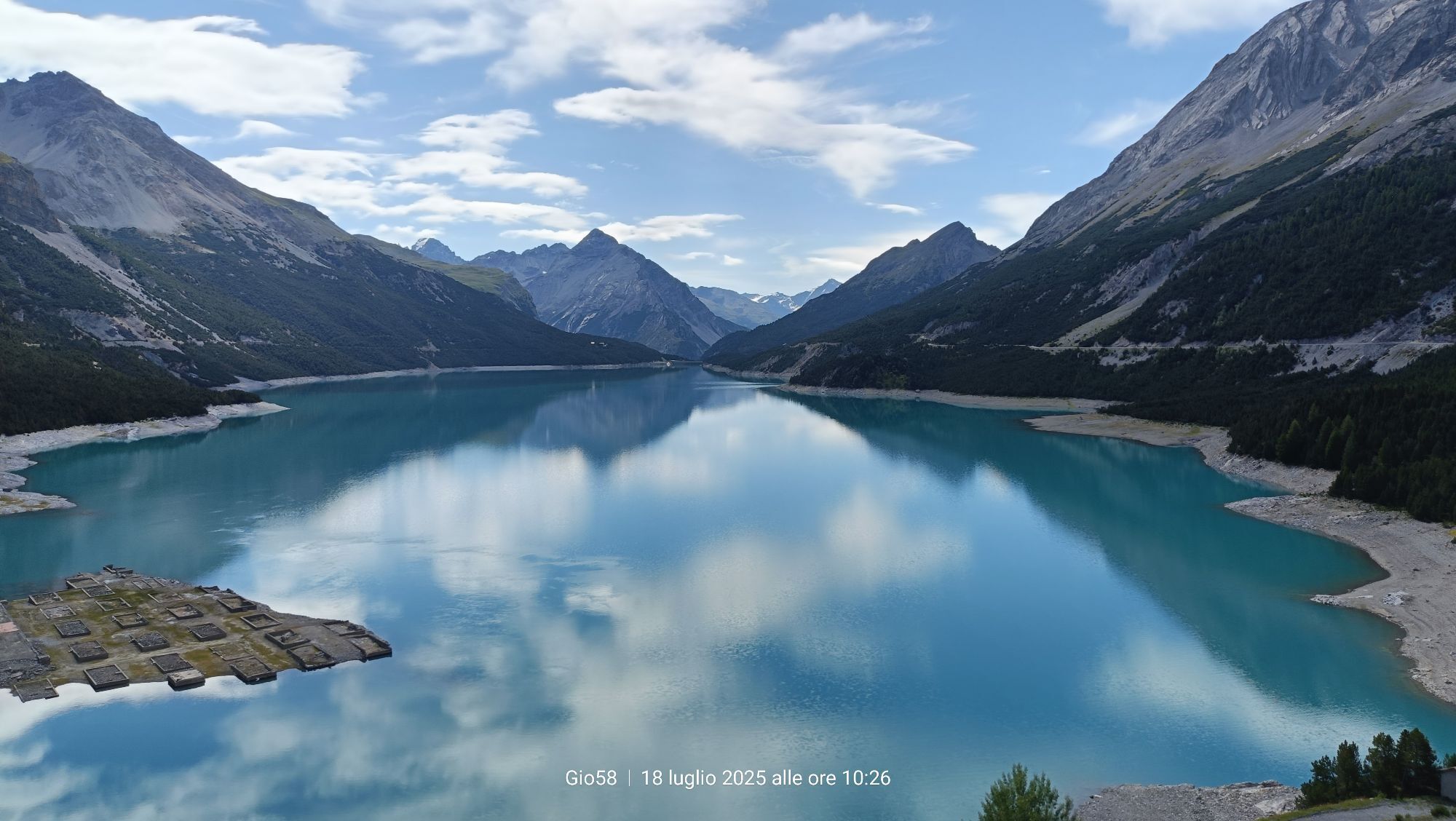
 © Gio58Vytvořeno dne 18.07.2025
 -
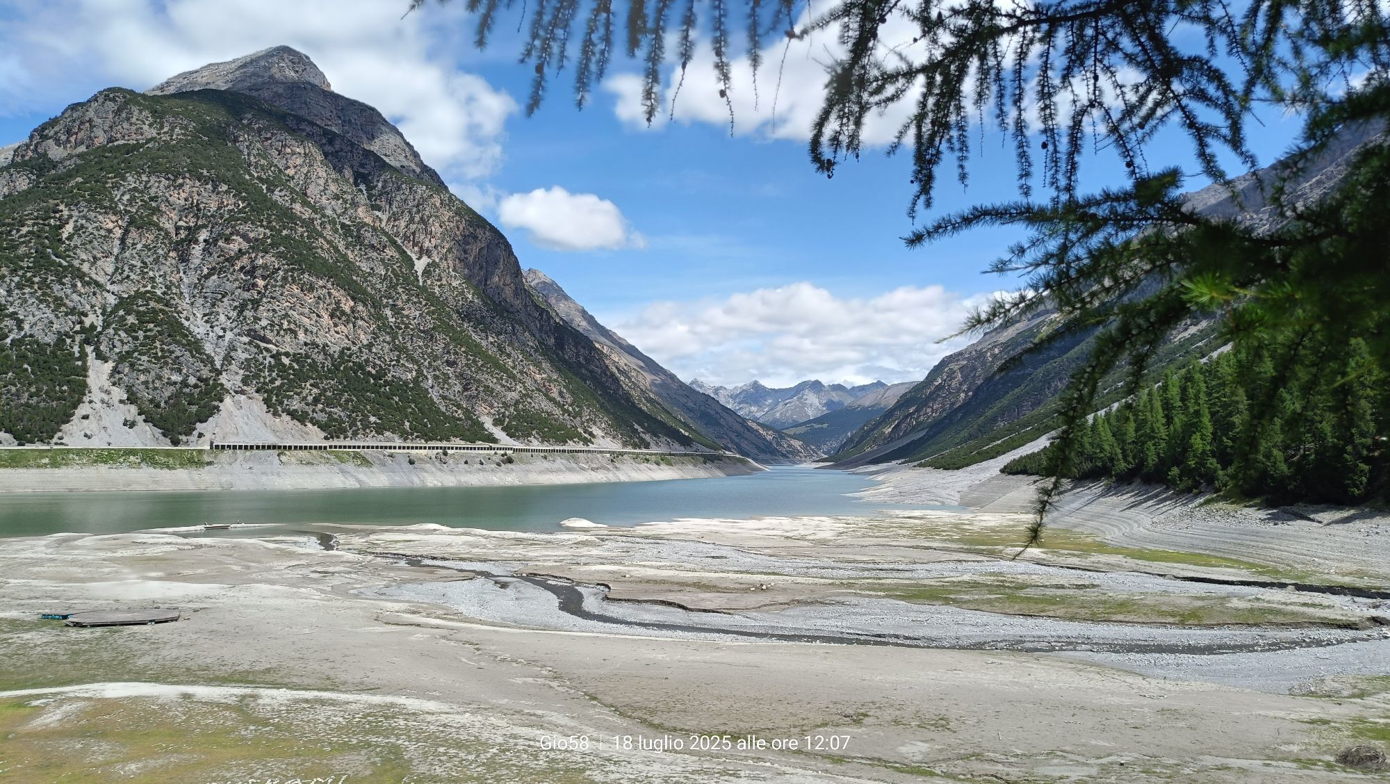
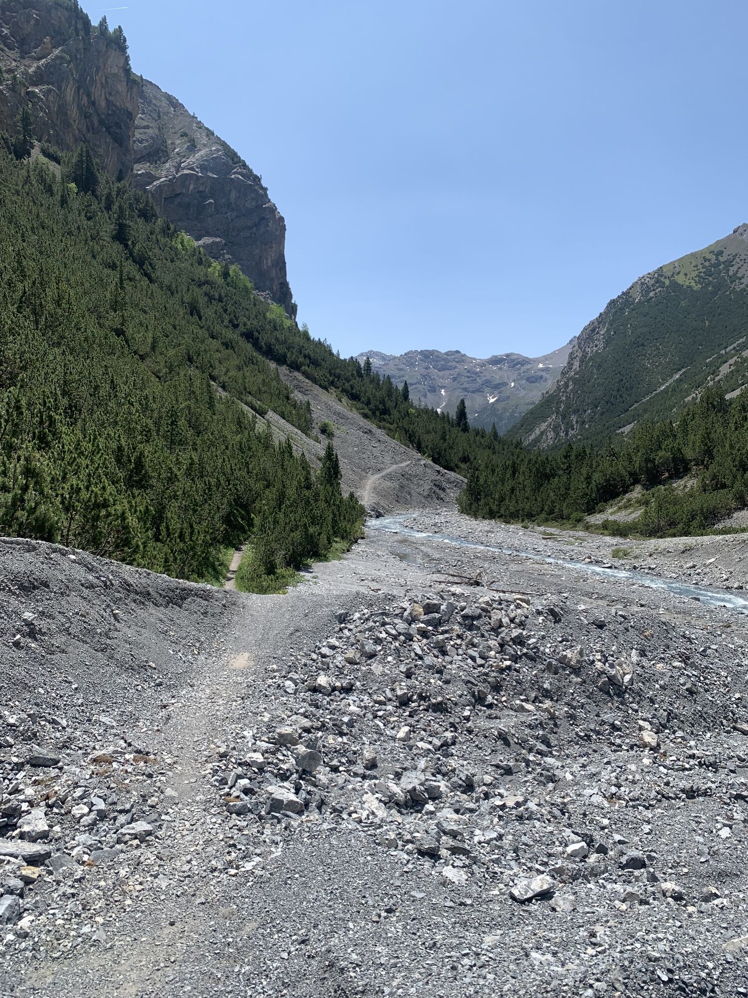
 © Gio58Vytvořeno dne 18.07.2025
 -
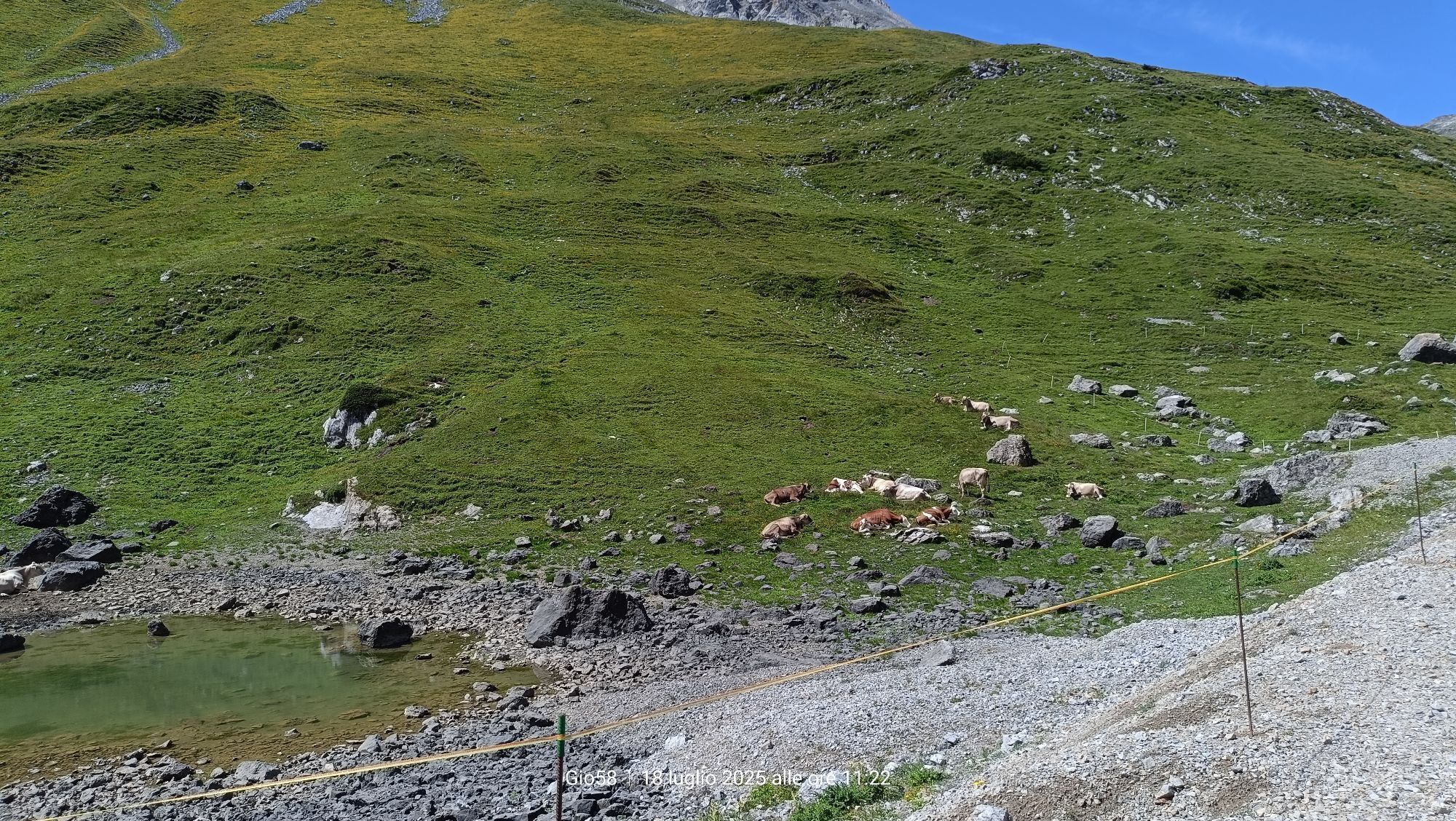
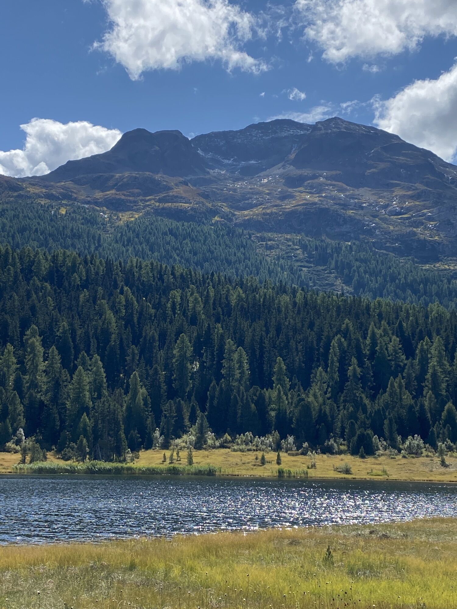
 © Gio58Vytvořeno dne 18.07.2025
 -
 © Gio58Vytvořeno dne 18.07.2025
 -
 © Pm MauretterVytvořeno dne 20.06.2025
 -
 © Pm MauretterVytvořeno dne 20.06.2025
 -
 © Pm MauretterVytvořeno dne 20.06.2025
 -
 © Pm MauretterVytvořeno dne 19.06.2025
 -
 © Pm MauretterVytvořeno dne 19.06.2025
 -
 © Fabio SalviniVytvořeno dne 01.05.2025
 -
 © Fabio SalviniVytvořeno dne 01.05.2025
 -
 © Fabio SalviniVytvořeno dne 01.05.2025
 -
 © Daniel BulfoniVytvořeno dne 20.09.2024
 -
 © Rene51Vytvořeno dne 03.09.2024
 -
 © Ivano MerelliVytvořeno dne 21.08.2024
 -
 © Ivano MerelliVytvořeno dne 21.08.2024
 -
 © Ivano MerelliVytvořeno dne 21.08.2024
 -
 © Ivano MerelliVytvořeno dne 20.08.2024
 -
 © Matej Mikus 1Vytvořeno dne 25.07.2024
 -
 © Matej Mikus 1Vytvořeno dne 25.07.2024
 -
 © Matej Mikus 1Vytvořeno dne 25.07.2024
 -
 © Matej Mikus 1Vytvořeno dne 25.07.2024
 -
 © Matej Mikus 1Vytvořeno dne 25.07.2024
 -
 © Grossmann EstherVytvořeno dne 03.09.2024
 -
 © Grossmann EstherVytvořeno dne 03.09.2024
 -
 © Grossmann EstherVytvořeno dne 03.09.2024
 -
 © Grossmann EstherVytvořeno dne 03.09.2024
 -
 © Terlizzi LinoVytvořeno dne 15.07.2023
 -
 © Terlizzi LinoVytvořeno dne 15.07.2023
 -
 © Terlizzi LinoVytvořeno dne 15.07.2023
 -
 © Terlizzi LinoVytvořeno dne 15.07.2023
 -
 © Terlizzi LinoVytvořeno dne 15.07.2023
 -
 © Terlizzi LinoVytvořeno dne 15.07.2023
 -
 © Terlizzi LinoVytvořeno dne 15.07.2023
 -
 © Terlizzi LinoVytvořeno dne 15.07.2023
 -
 © Terlizzi LinoVytvořeno dne 15.07.2023
 -
 © Daniel BulfoniVytvořeno dne 11.12.2022
 -
 © Daniel BulfoniVytvořeno dne 11.12.2022
 -
 © Daniel BulfoniVytvořeno dne 11.12.2022

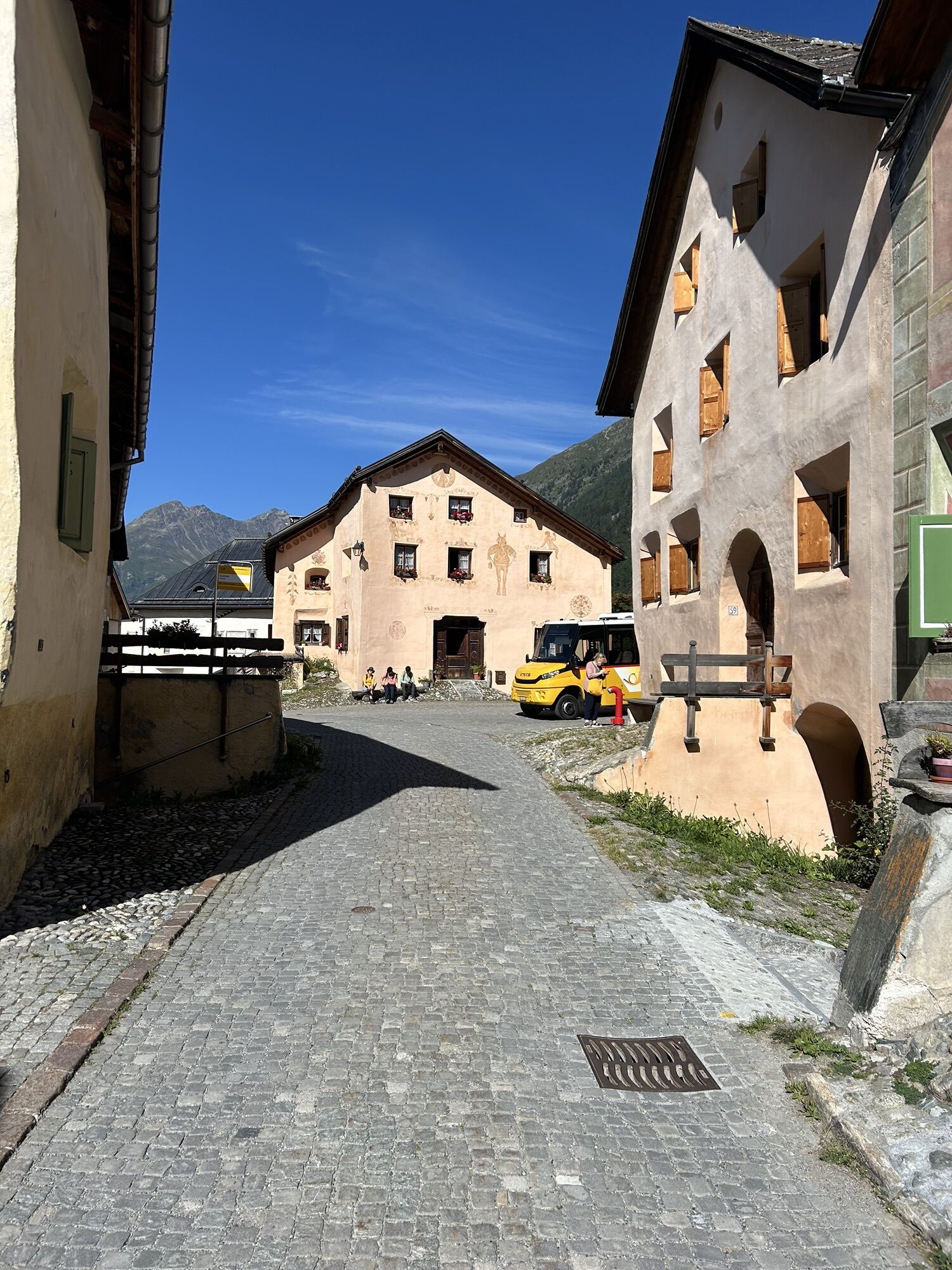
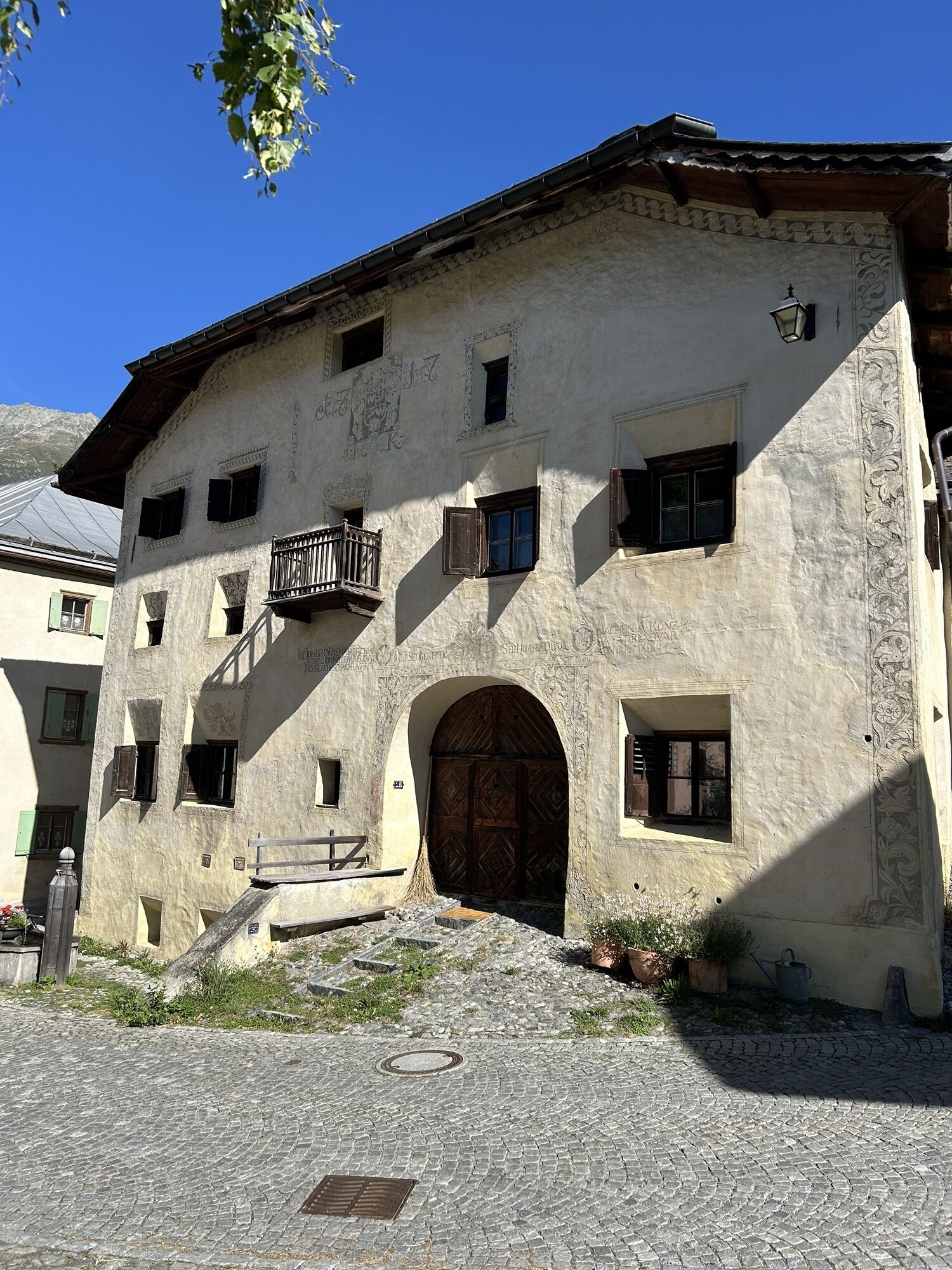


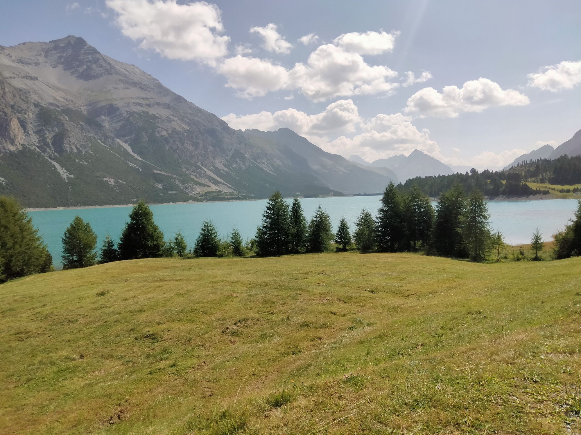
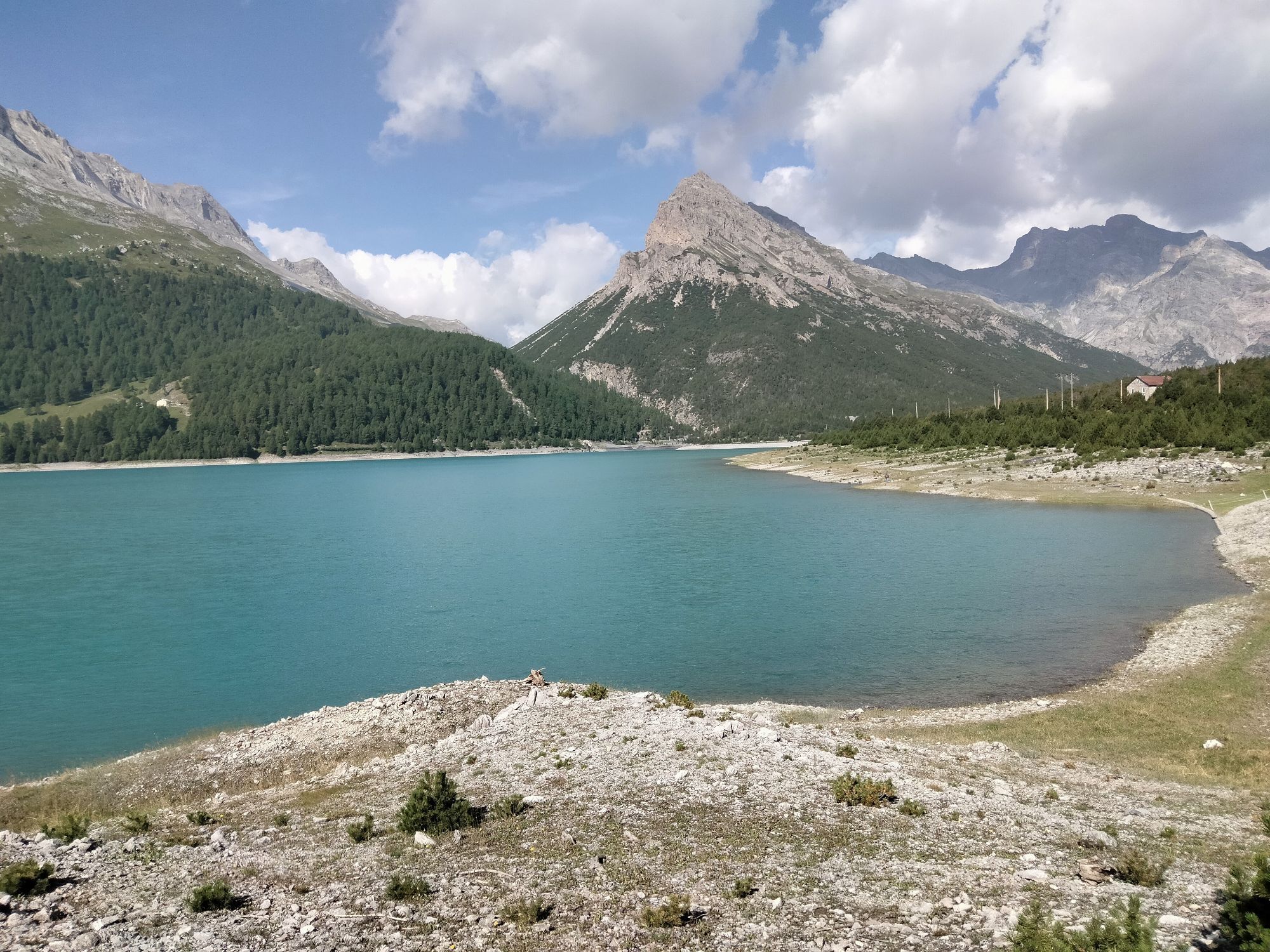
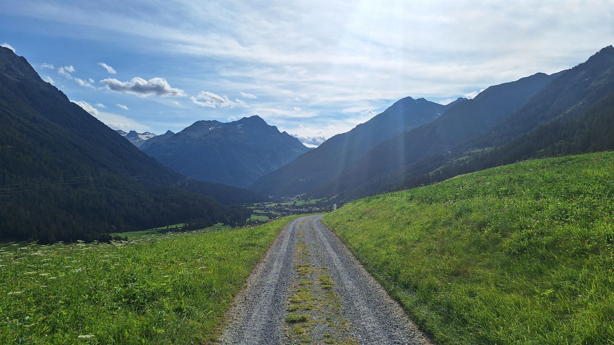


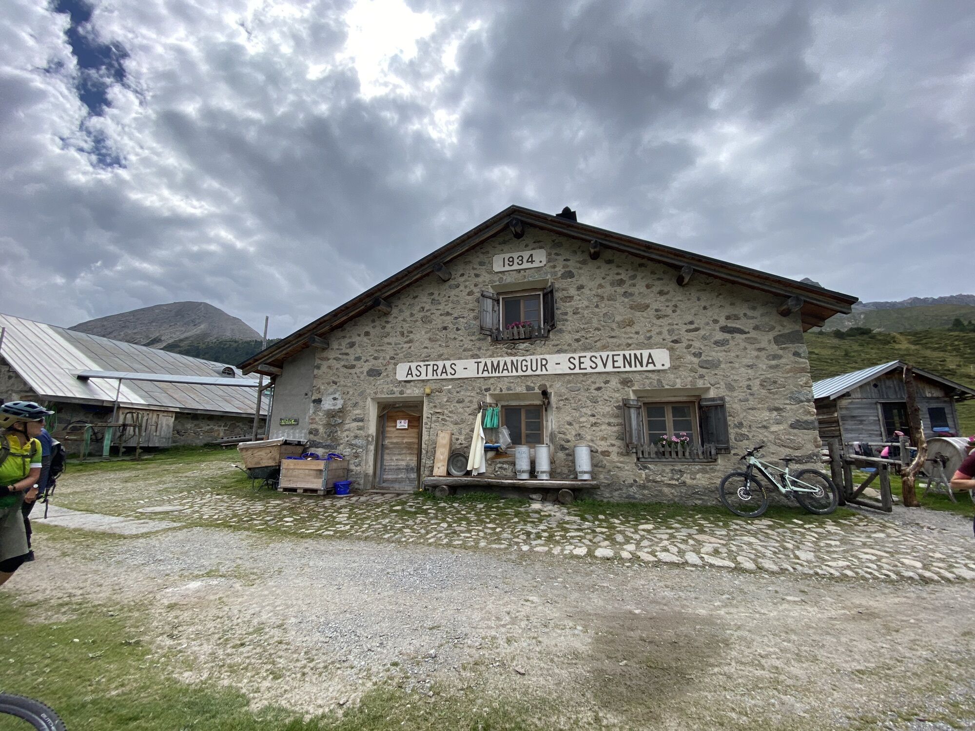


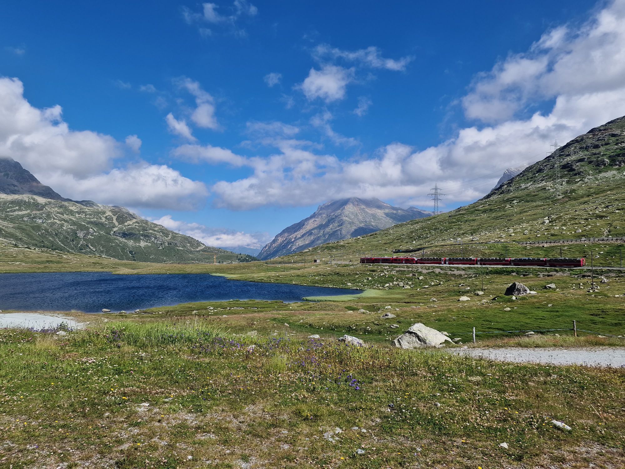

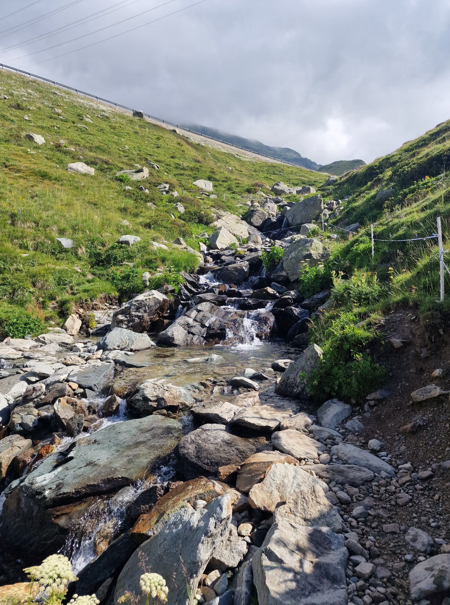
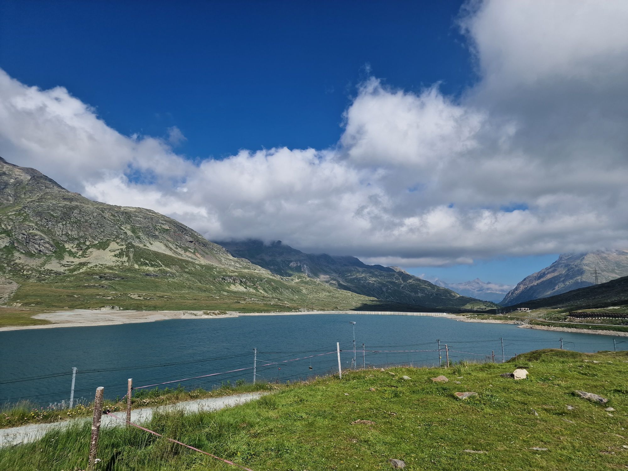


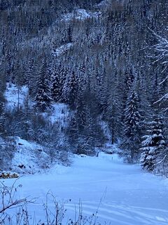
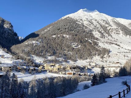
The E-MTB tour leads from Scuol via Val Müstair to Livigno (IT), and from there over the Bernina Pass into the Upper Engadine to Zuoz and back to Scuol. The bikers will ride flowing trails and experience...
The E-MTB tour leads from Scuol via Val Müstair to Livigno (IT), and from there over the Bernina Pass into the Upper Engadine to Zuoz and back to Scuol. The bikers will ride flowing trails and experience bike highlights such as the Pass da Costainas, the Val Mora, the Passo Alpisella and the Ospizio Bernina. Each stage is between 50 and 60 km long.

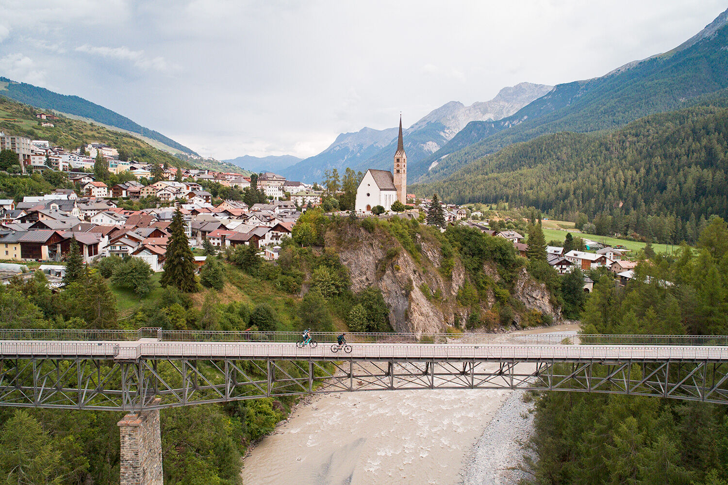
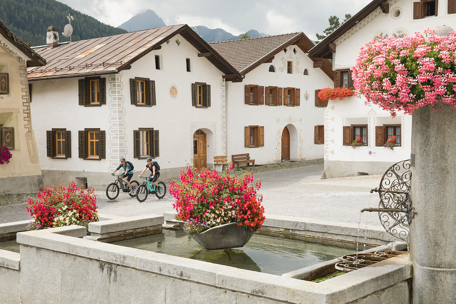
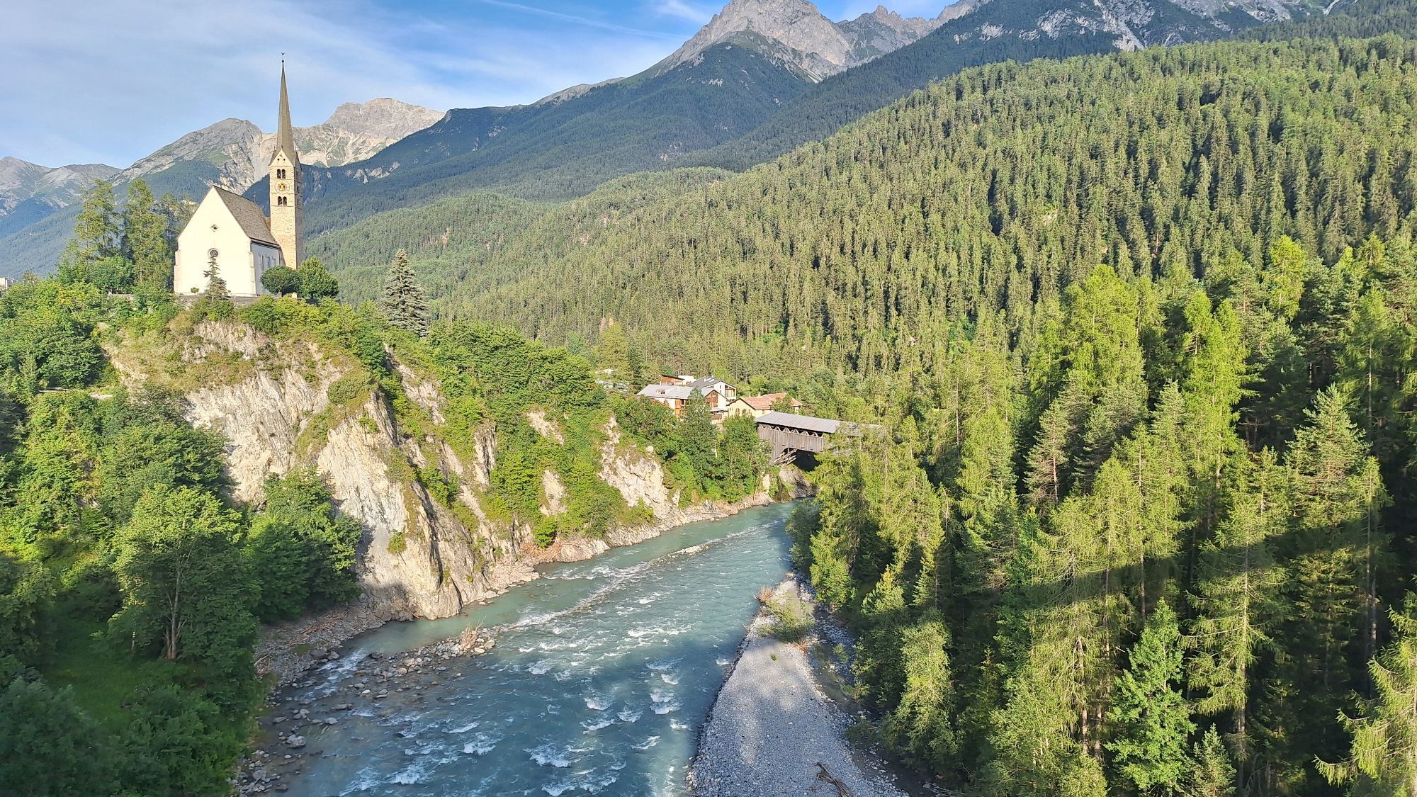
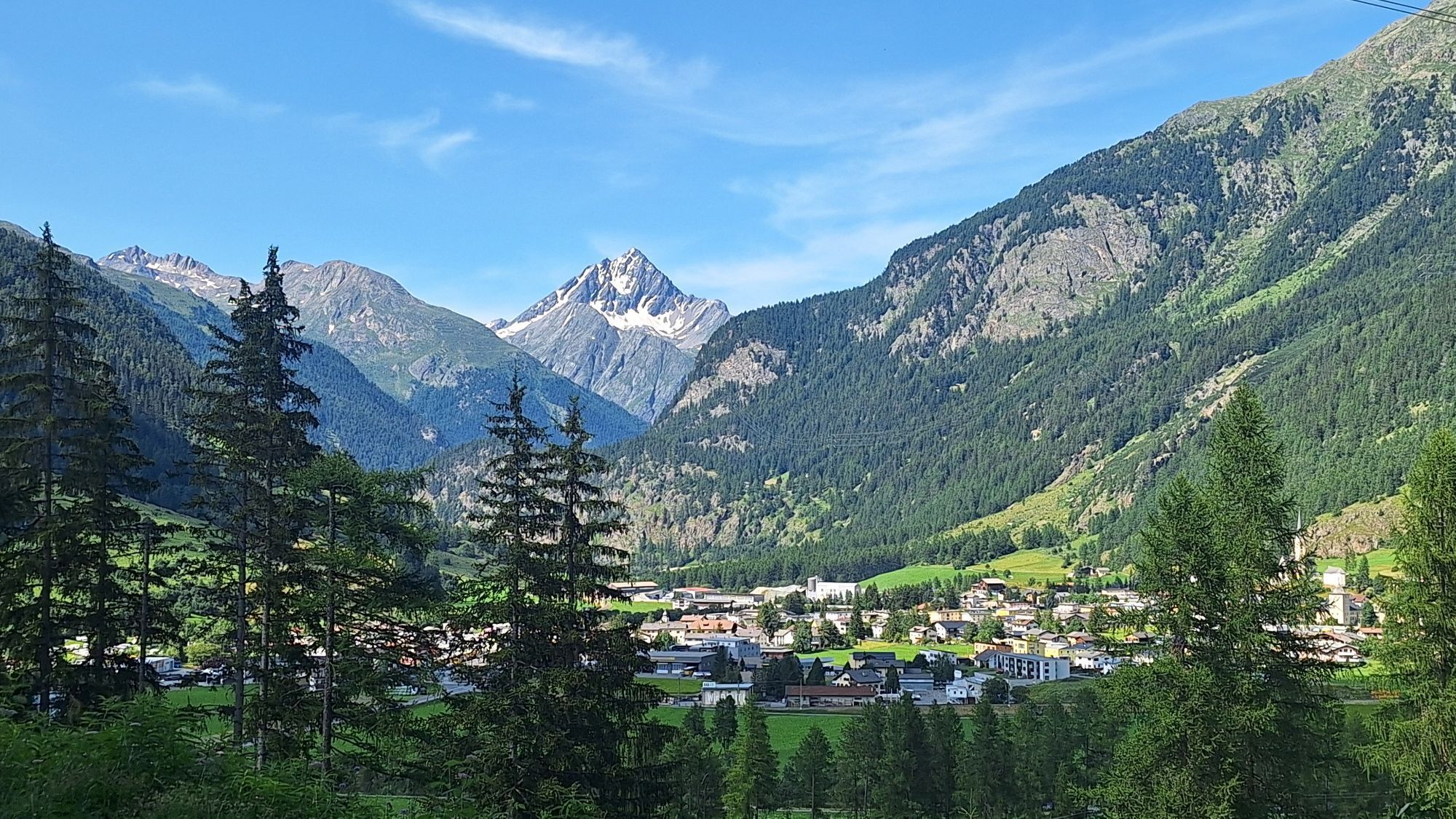
From Scuol the route leads up the Val S-Charl to the Pass da Costainas. Then down into Val Müstair to the hamlet of Lü. Then there is a loop to Müstair and on the opposite side of the valley to Tschierv.
Stage 2:
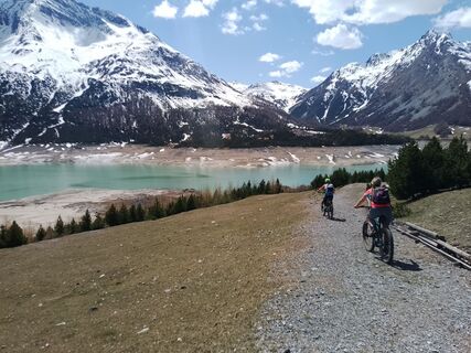
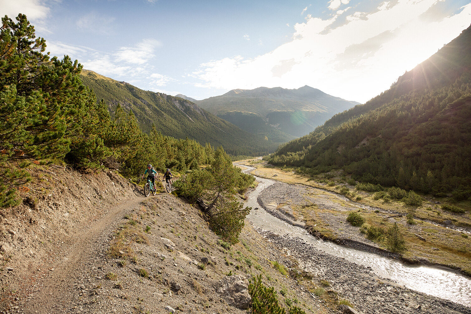
From Tschierv along the Val Vau to the Passo de Fraele. There follows a loop around Lago di San Giacomo, then the climb to Alpisella and then the descent to Lago di Livigno.
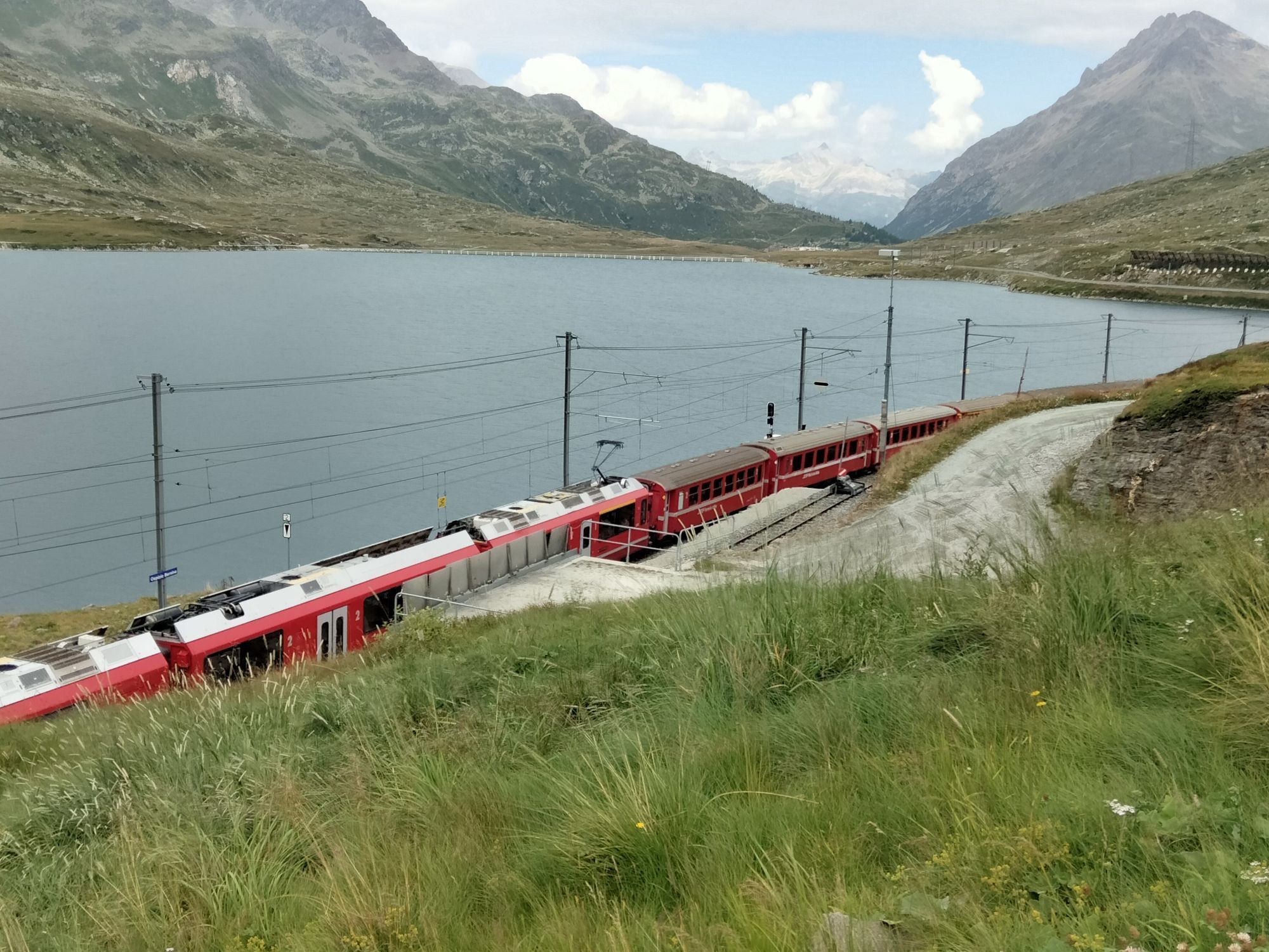
Stage 3:
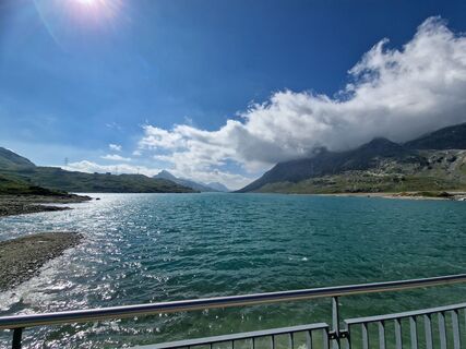
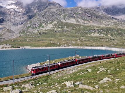
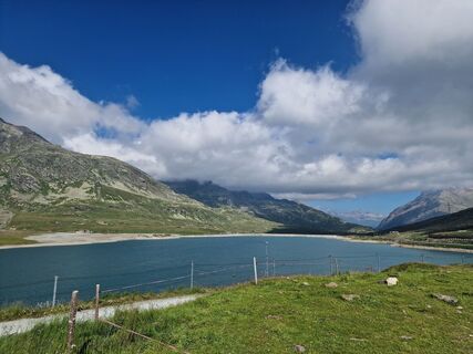
From Livigno to the Fuorcola di Livigno and on to the Bernina Pass. There follow the Bernina Express Trail in the direction of Morteratsch to Pontresina. This is followed by a detour around Lake St. Moritz and the onward journey via Celerina, Samedan Airport to Zuoz.
Stage 4:
Set off from Zuoz in the direction of Zernez. The route leads through various Lower Engadine villages back to Scuol.
Ano
Helmet, gloves, good shoes, glasses, rain and sun protection, water bottle, repair kit, first aid kit.
The tour was evaluated in favourable weather conditions, the current weather conditions and weather forecasts must be imperatively observed before the tour start. This tour does not make any special demands on driving safety and technical driving skills.
Emergency call:
144 Emergency call, first aid
1414 Mountain rescue REGA
112 International emergency call
Show consideration when crossing and overtaking hikers.
Most of the mountain bike routes in Graubünden run on single trails that are also signposted as hiking trails. Hikers always have the right of way.
Scuol is located directly on the Engadine road H27 (20 minutes' drive from Vereina south portal)
By Rhaetian Railway (from Chur, Landquart/Prättigau or from the Upper Engadine) hourly to Scuol-Tarasp
By PostBus (from Martina, Sent, Ftan or Tarasp) hourly to Scuol-Tarasp station
Paid parking at the railway station and at the mountain railways in Scuol.
Free parking in Porta and Punt (Scuol Sot)
S2
Before or after the tour, we recommend a visit to the Bogn Engiadina mineral baths in Scuol.
Oblíbené prohlídky v okolí
-
4.8
Circular hike Val Trupchun in the Swiss National Park
středníTuristika 13.8 km -
4.8
National park: Zernez – Munt Baselgia – Macun lakes – Alp Zeznina – Lavin
heavyTuristika 22.9 km -
4.0
National Park: Margunet
světloTuristika 7.76 km -
4.8
National Park: Grimmels (circular hike)
světloTuristika 6 km -
5.0
Crap da la Pare' with Joëlette
světloTuristika 4.58 km -
5.0
National Park: Murtaröl
heavyTuristika 15.6 km -
5.0
National Park: Spöl Valley
světloTuristika 7.67 km -
National Park: Chamanna Cluozza
středníTuristika 8.37 km -
4.0
Süsom Givè - Chaschlot - Valbella - Süsom Givè
středníTuristika 9.73 km -
National Park: Murtersattel
středníTuristika 7.66 km
Pěší turistika a stopování


Nenechte si ujít nabídky a inspiraci pro vaši příští dovolenou
Vaše e-mailová adresa byl přidán do poštovního seznamu.