







Älpliseetrail

Úroveň obtížnosti: S3
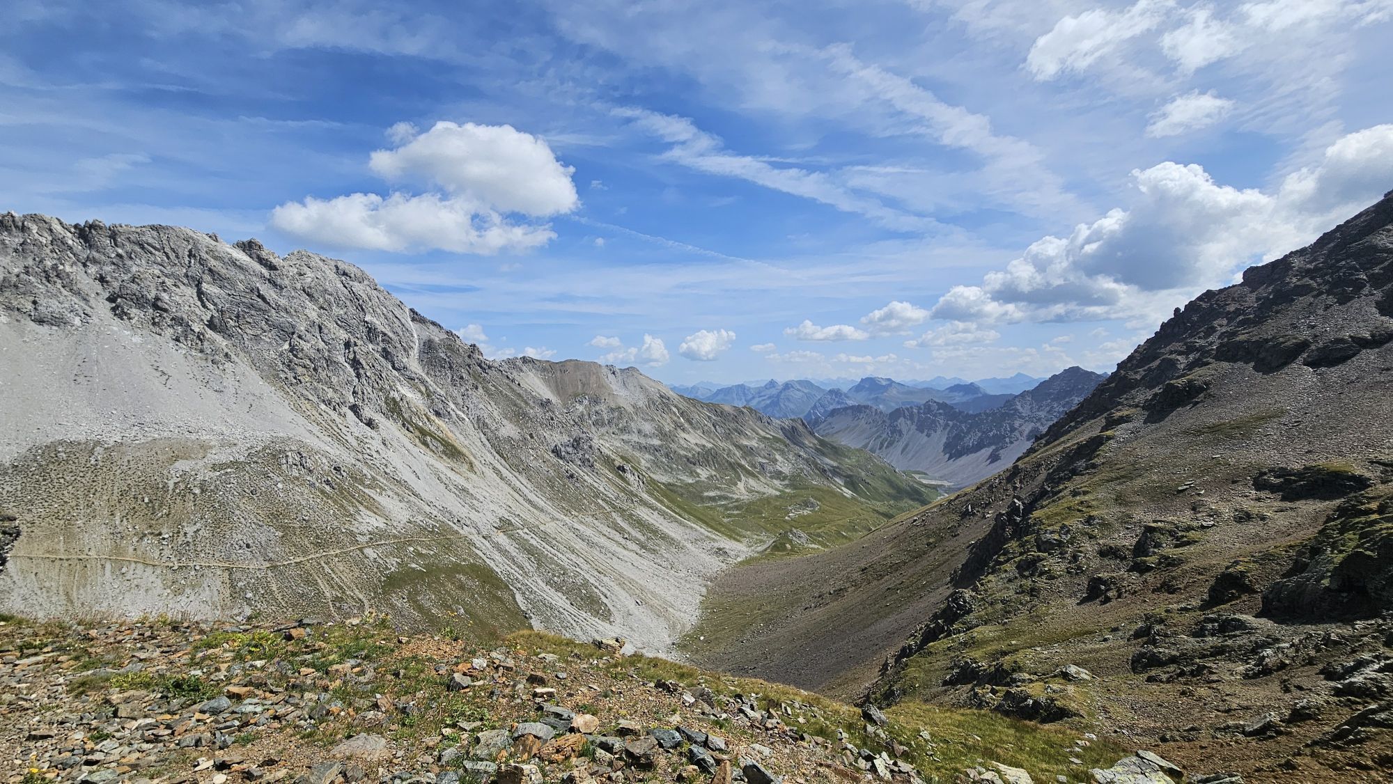
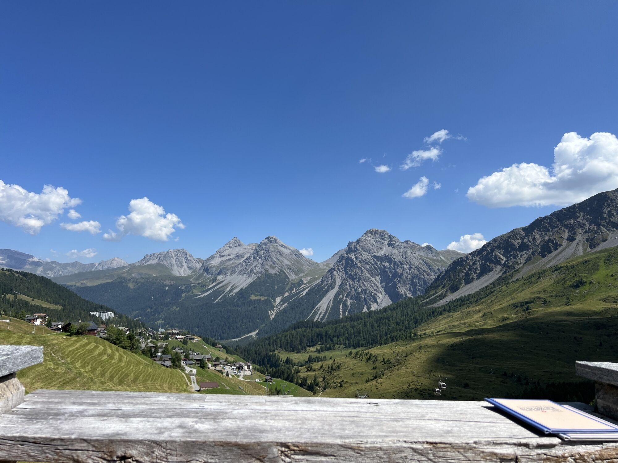
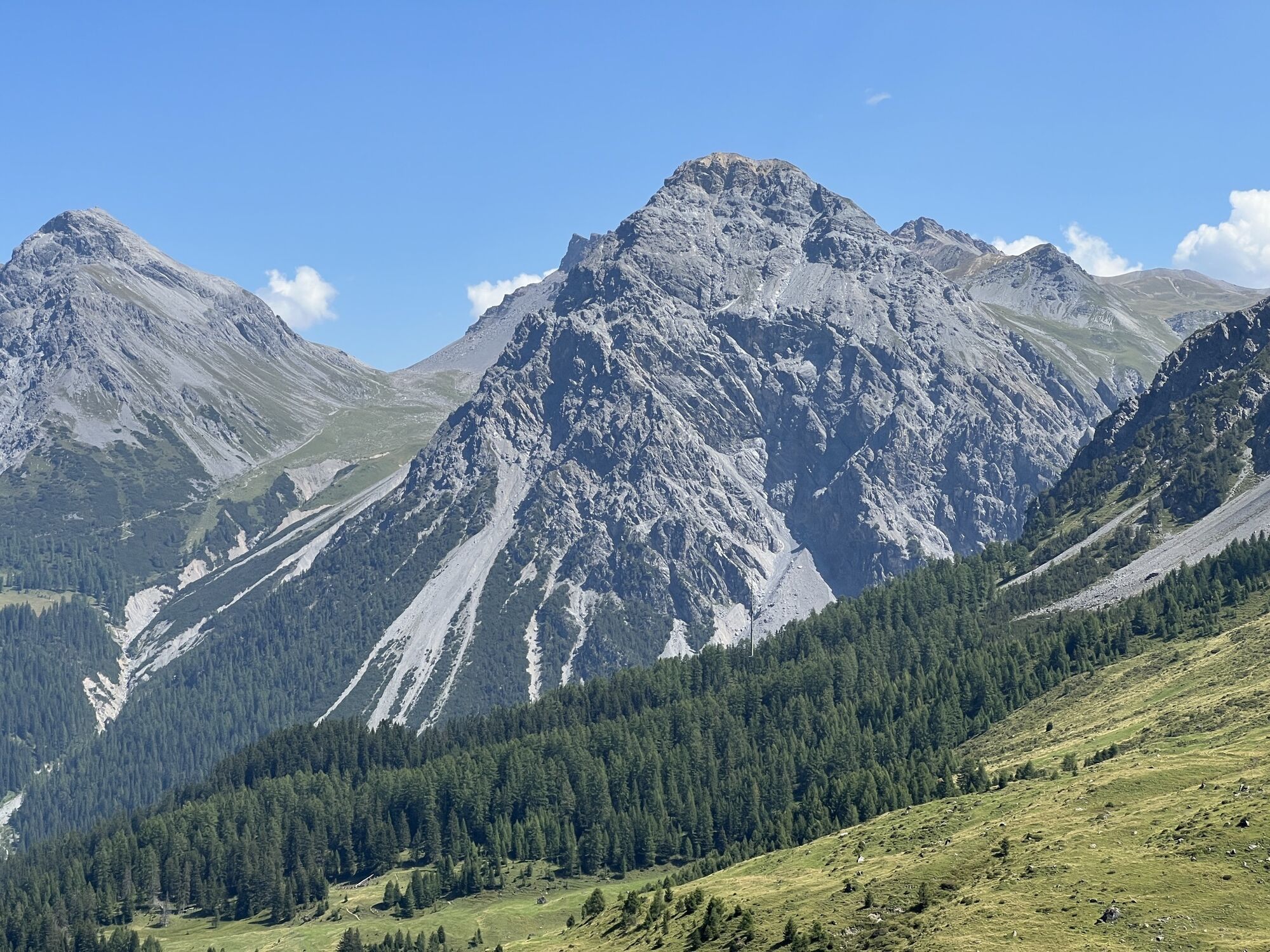
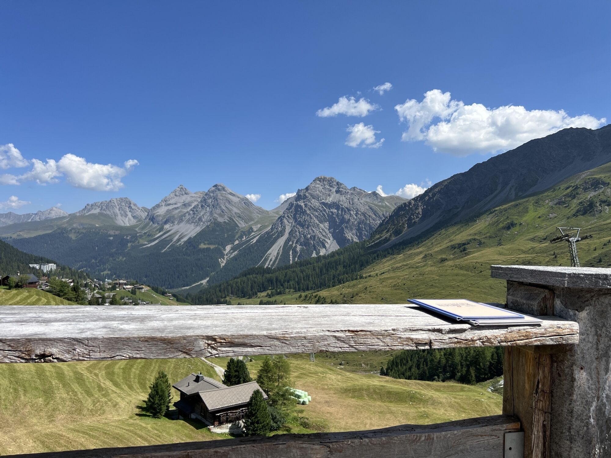
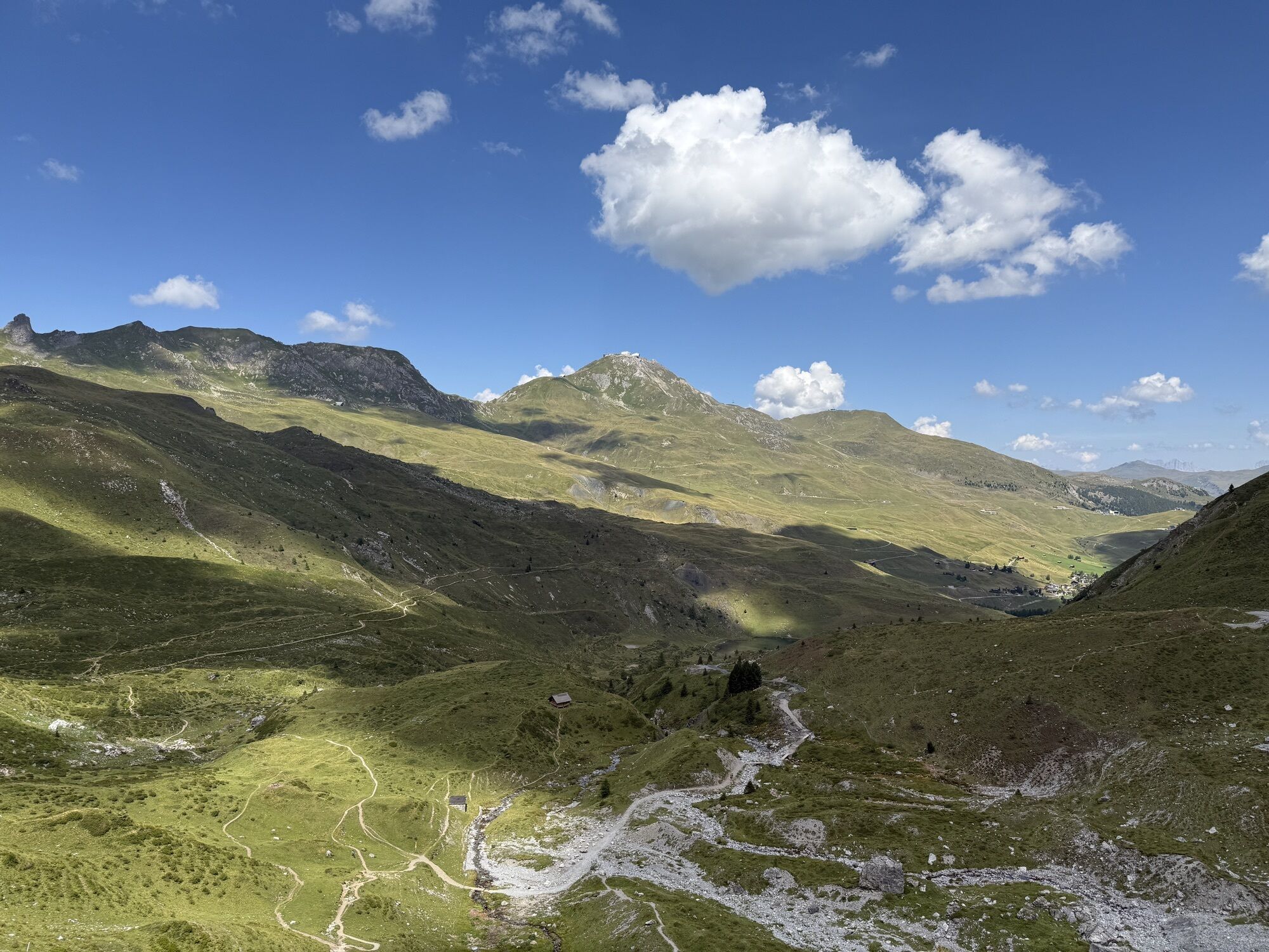
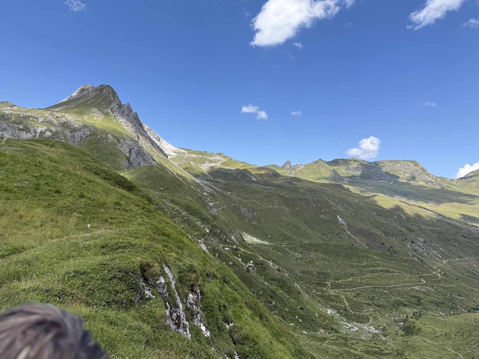
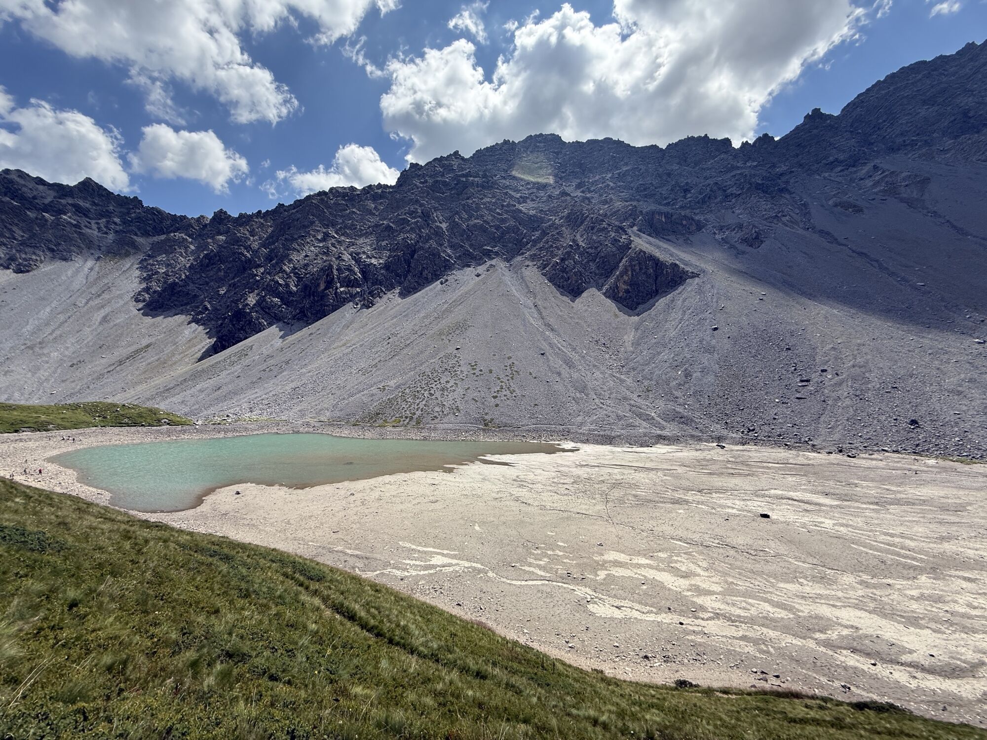
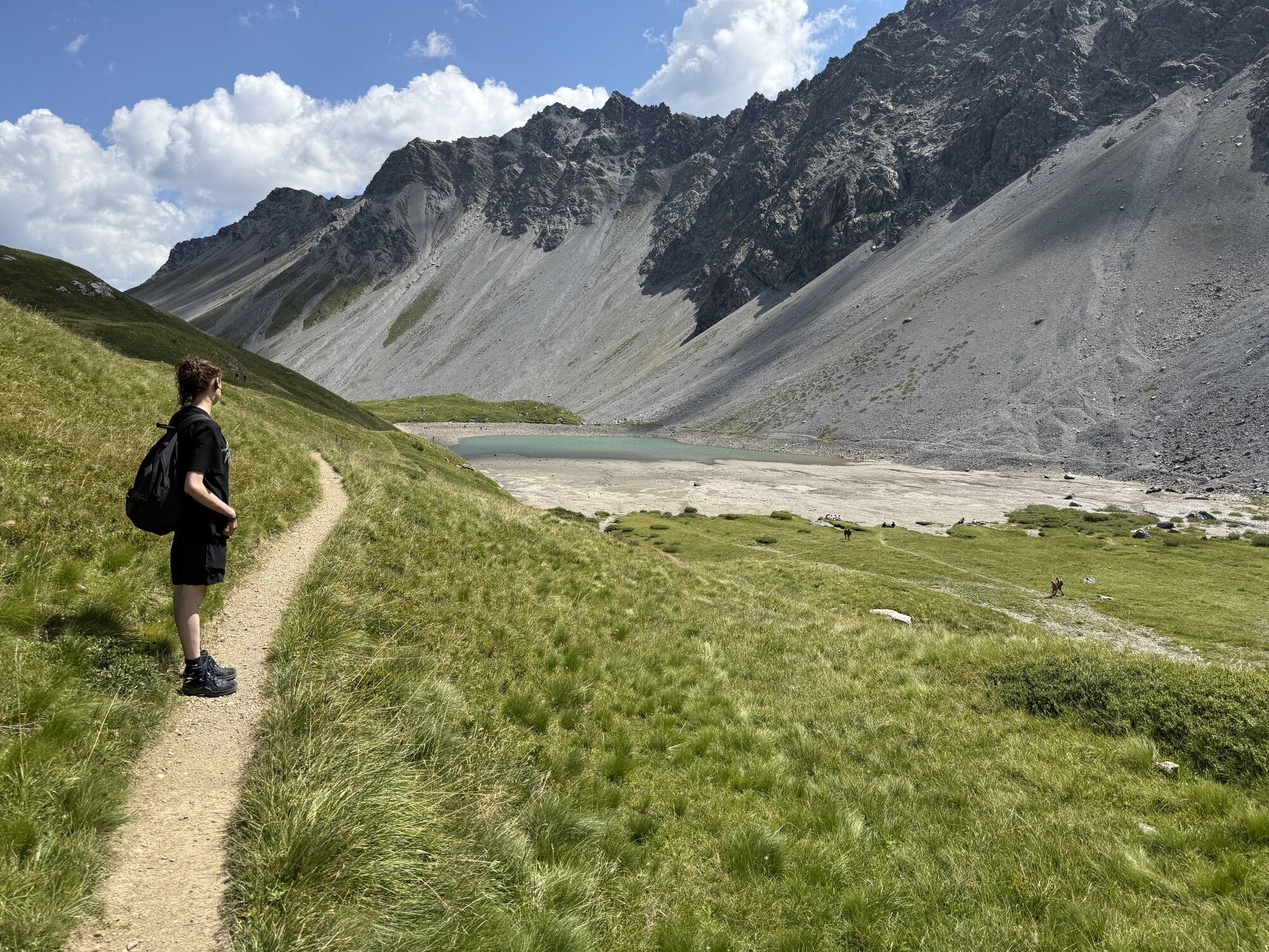
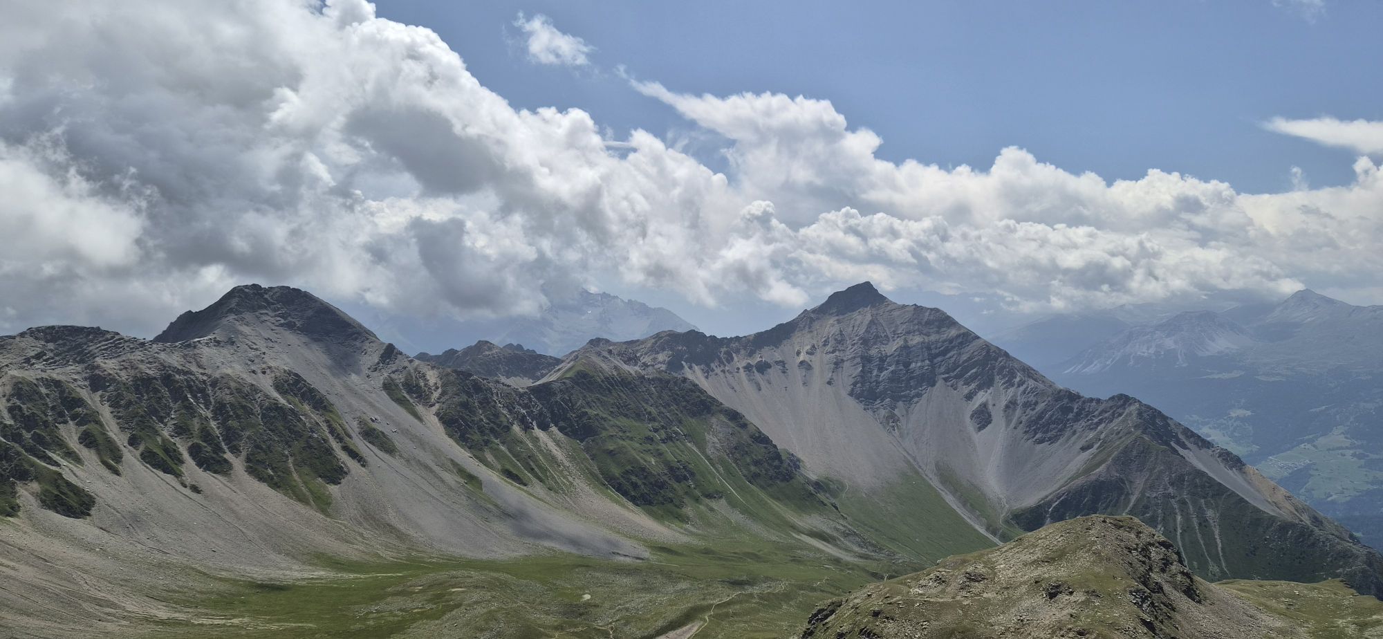
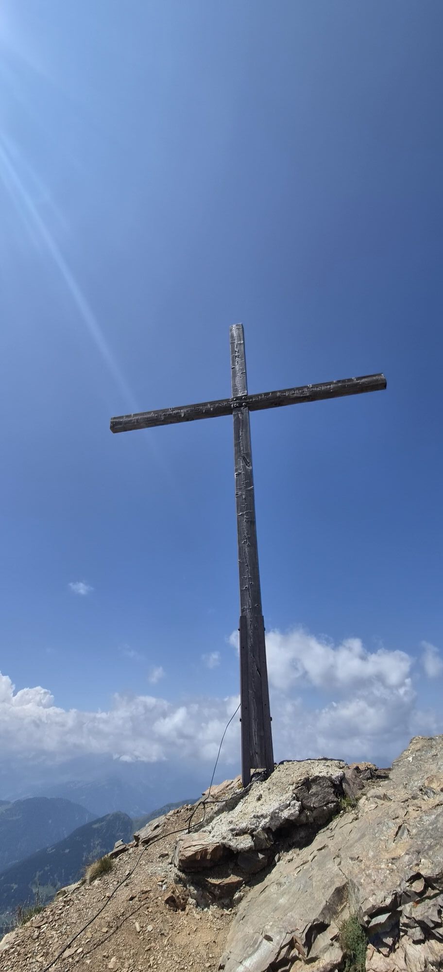
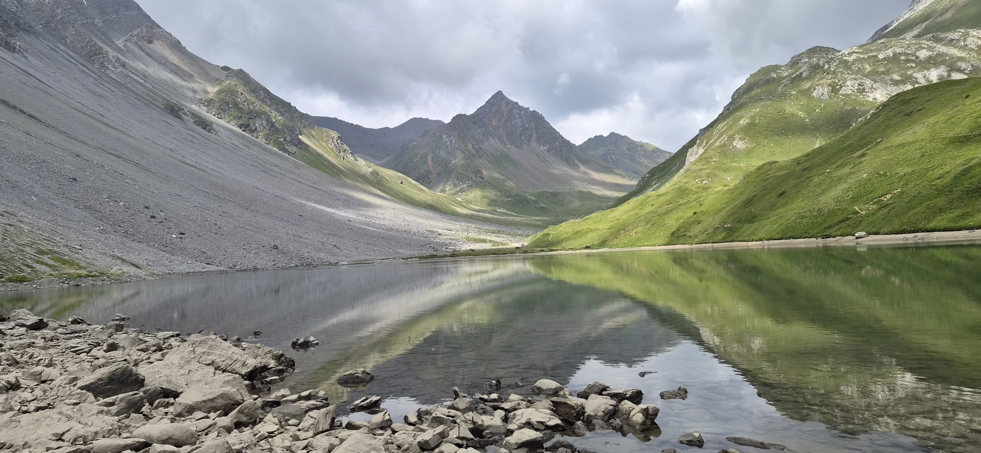
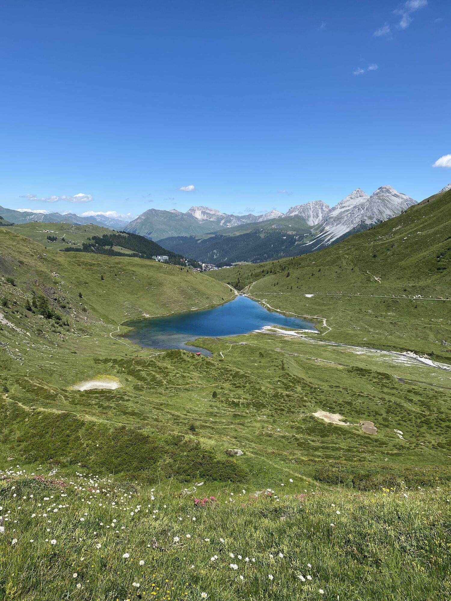
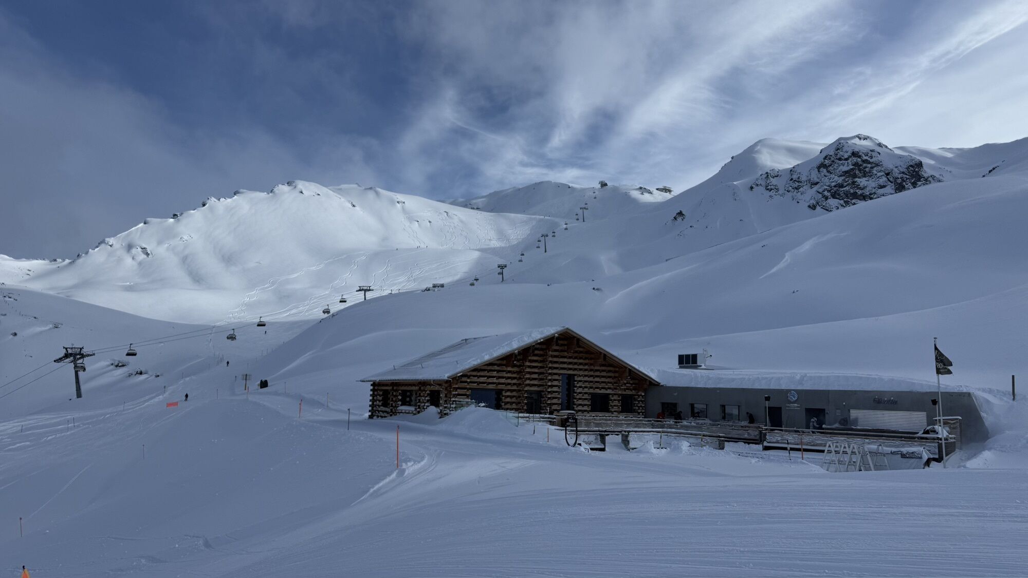
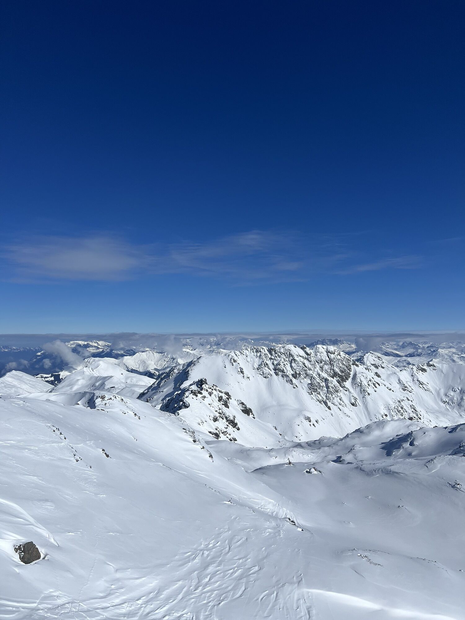
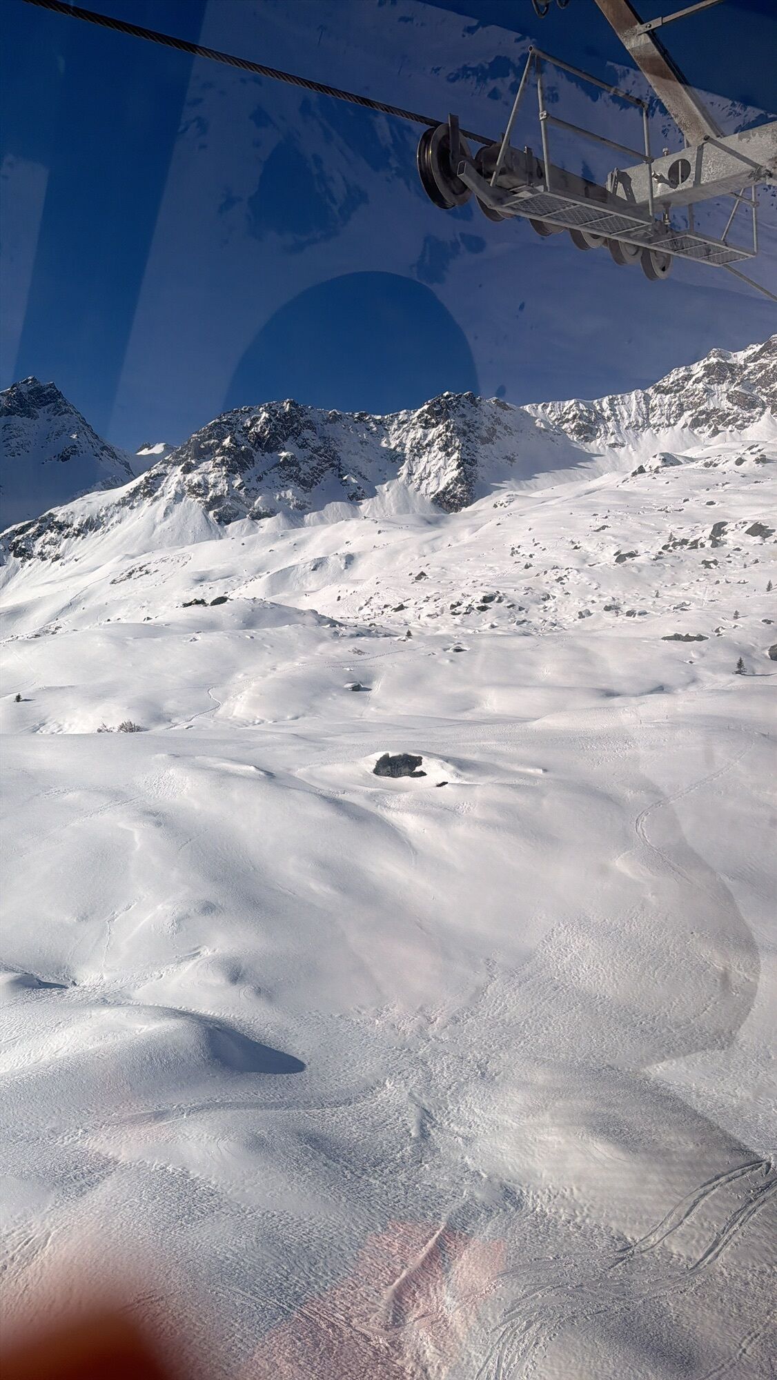
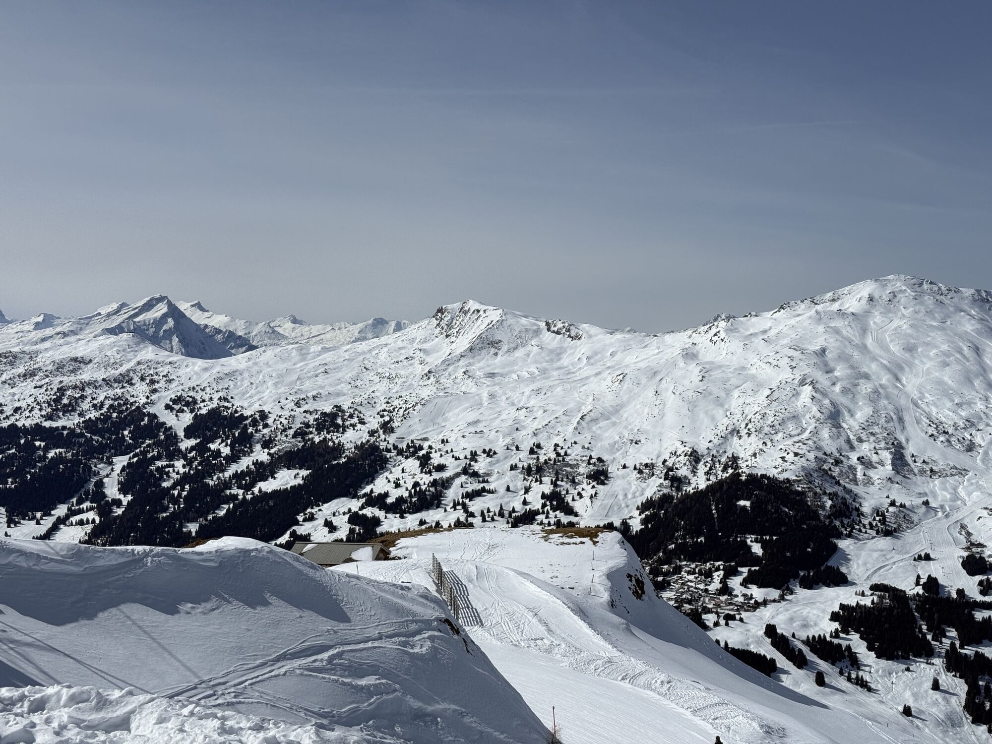
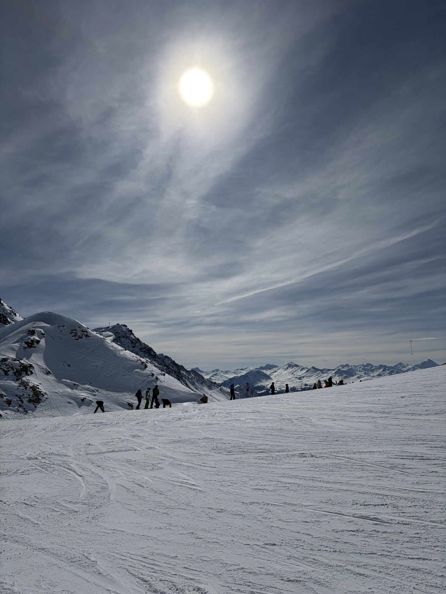
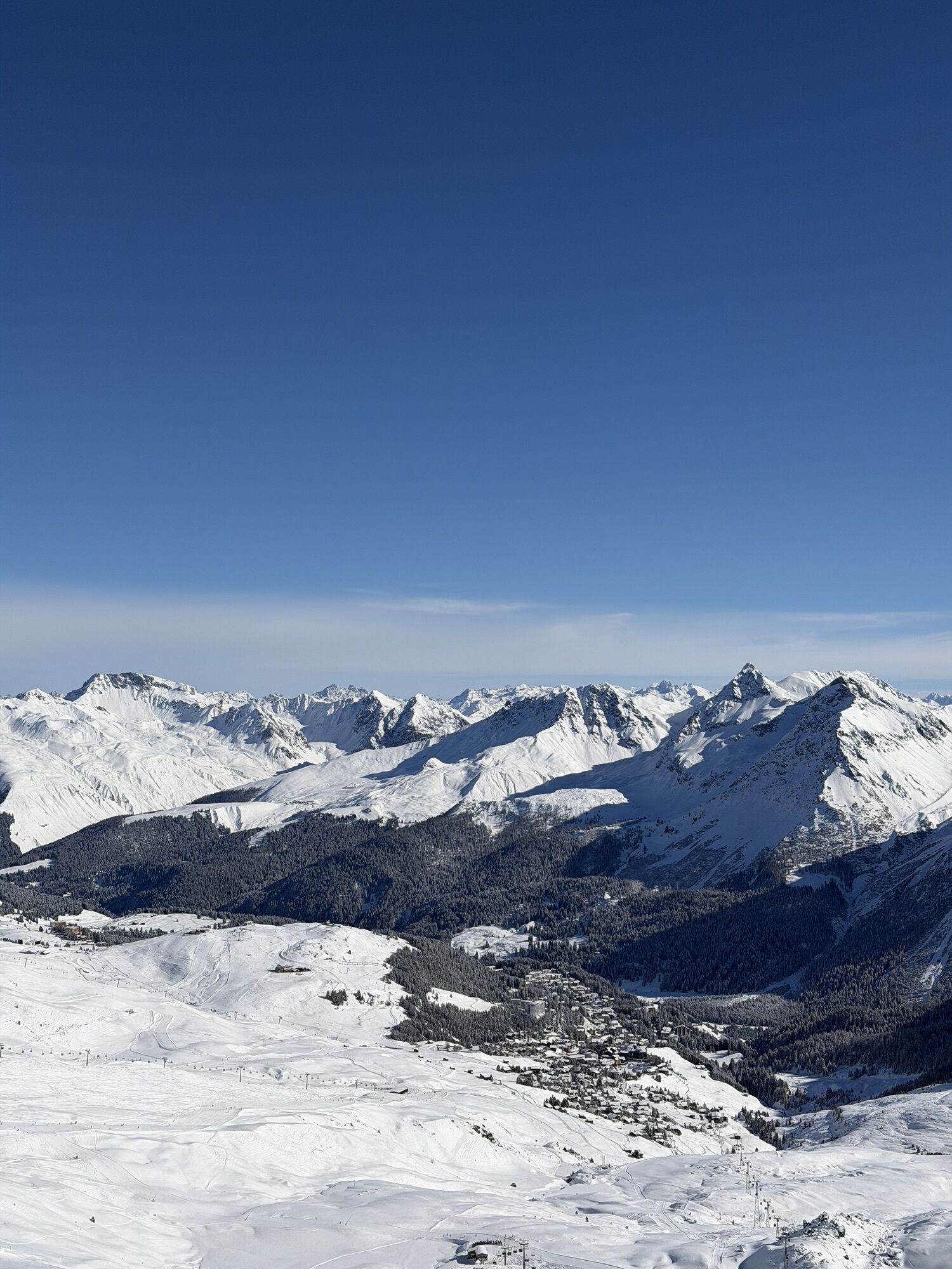
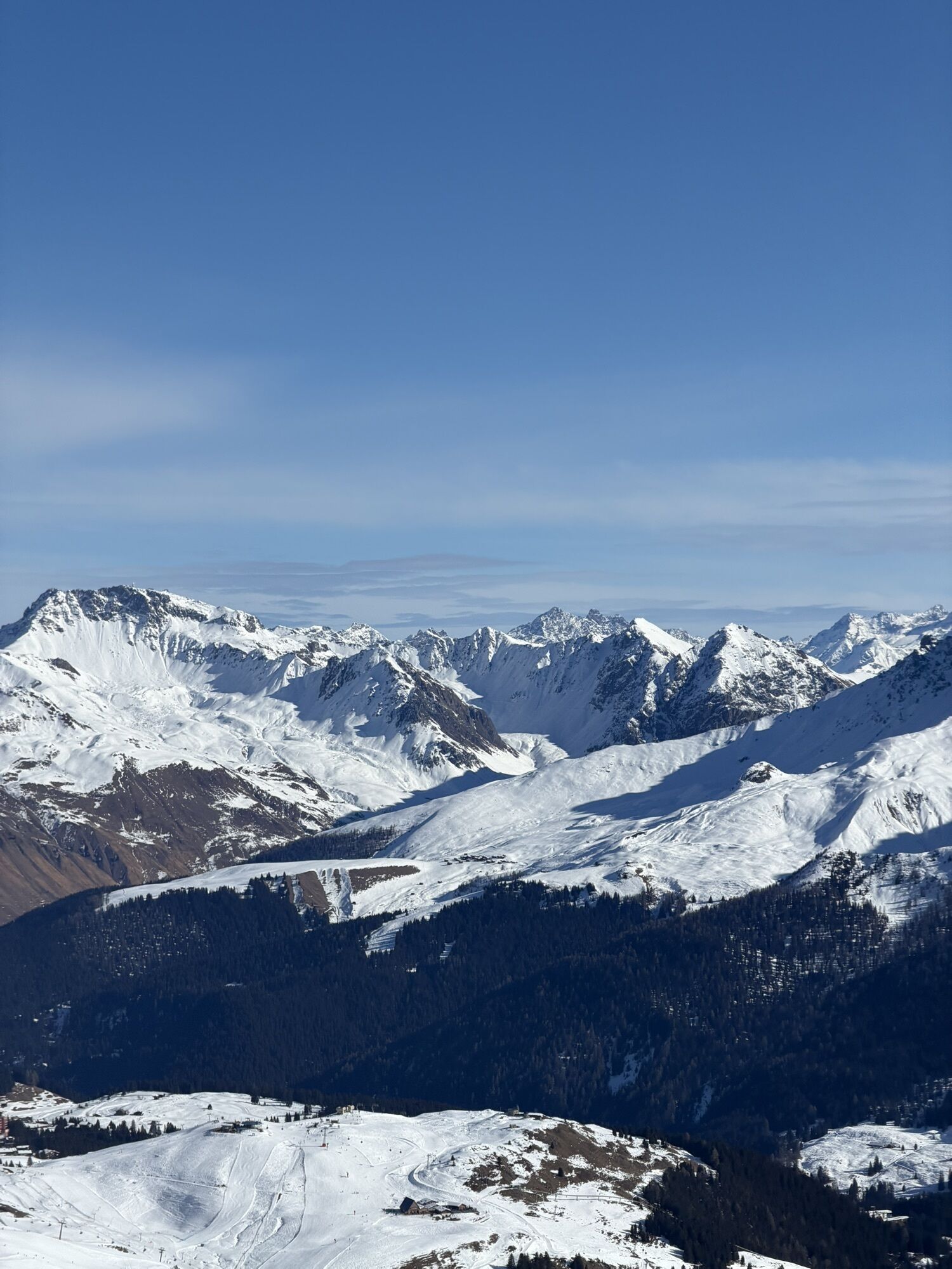
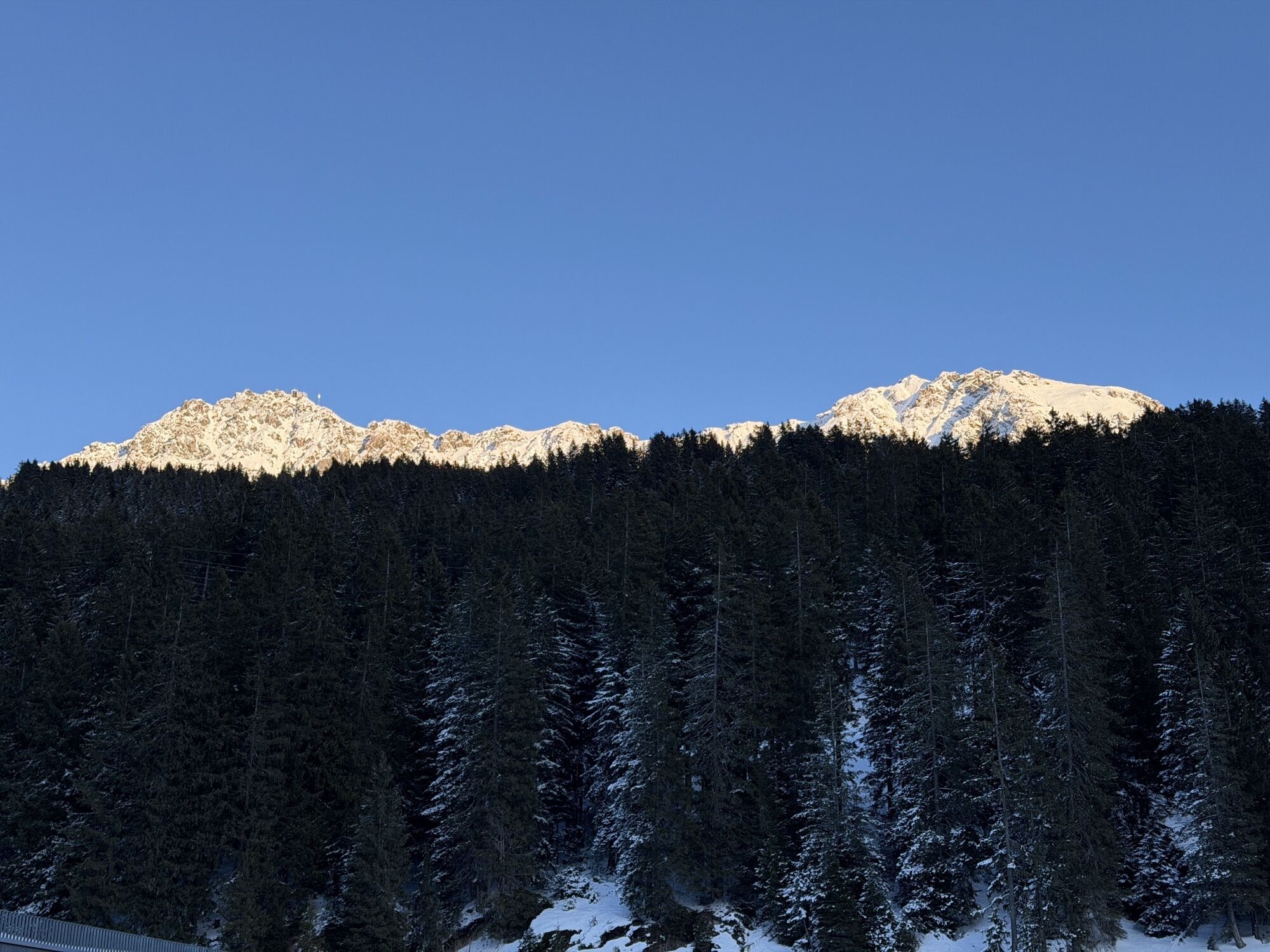
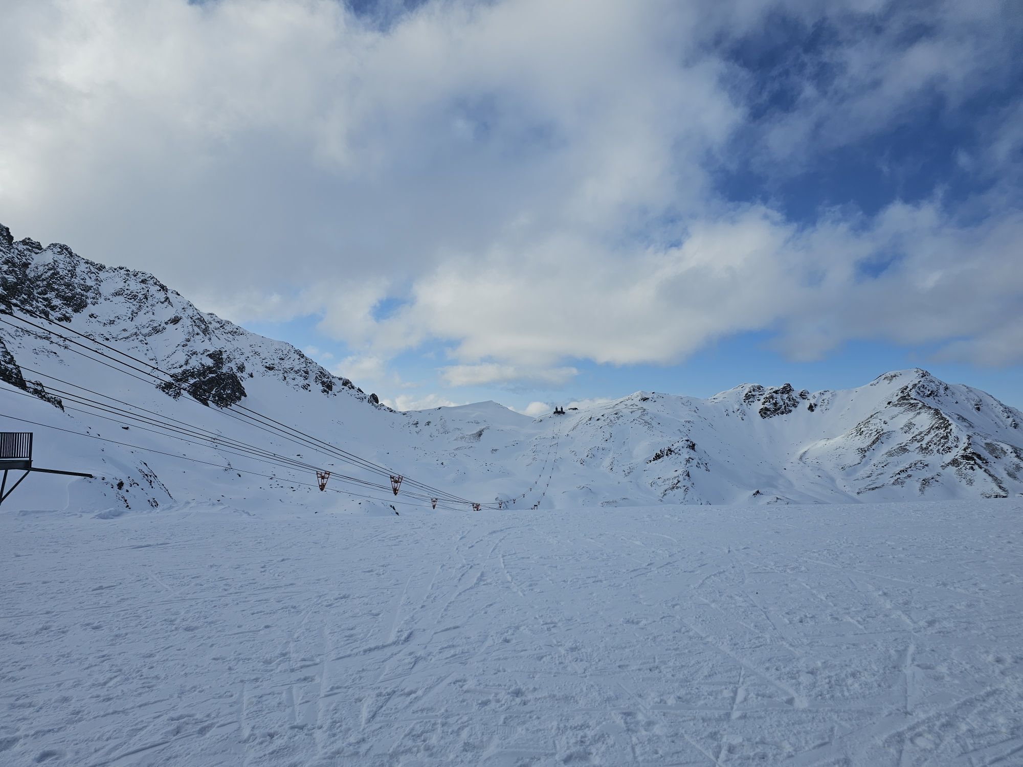
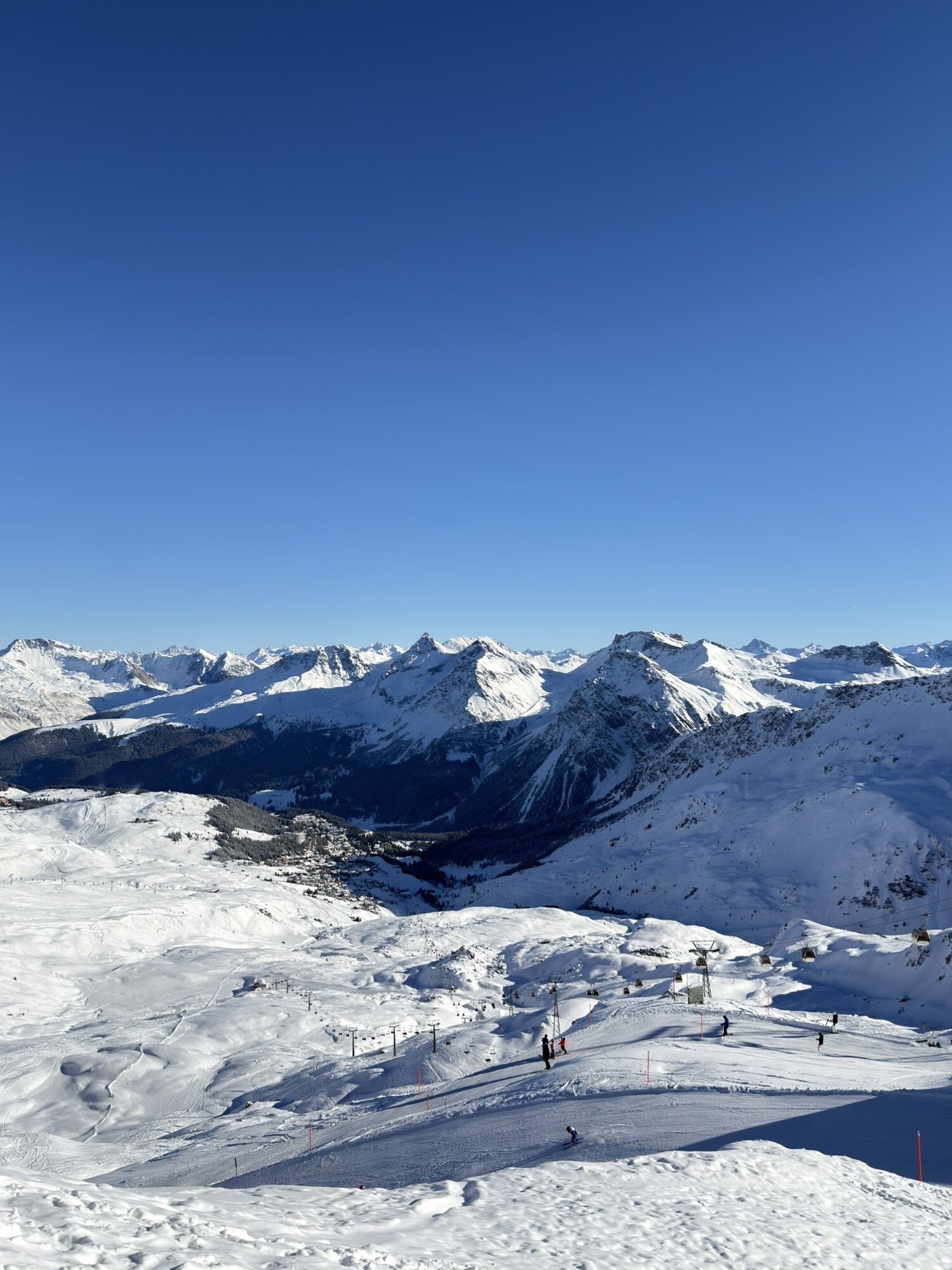
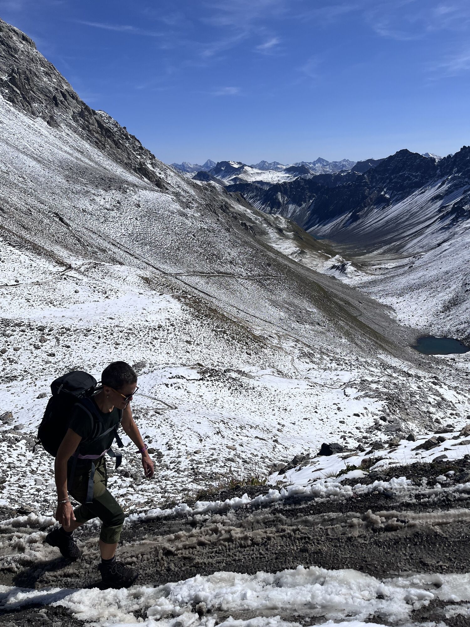

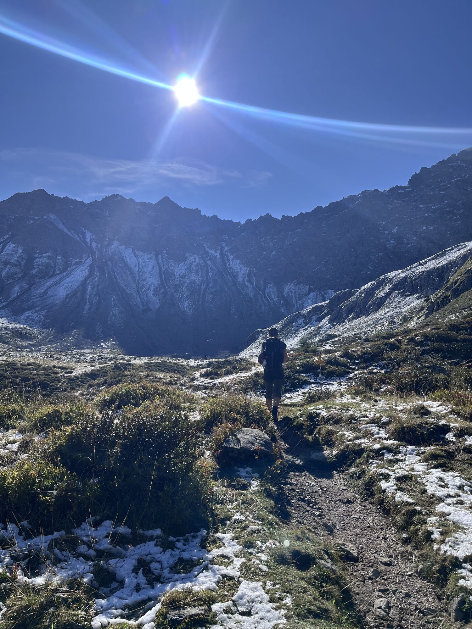
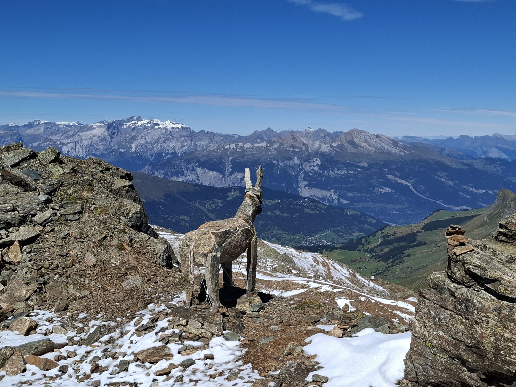
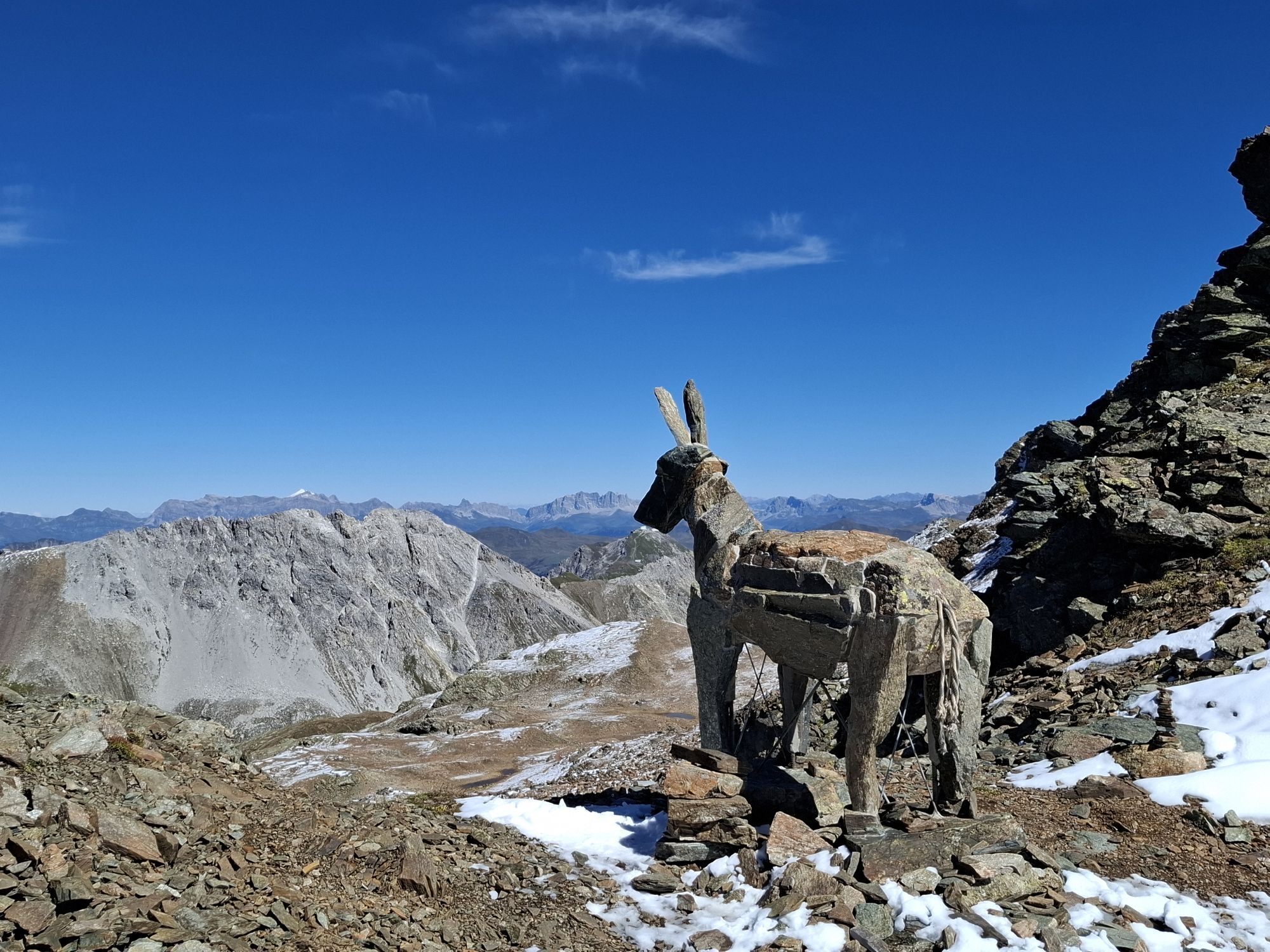
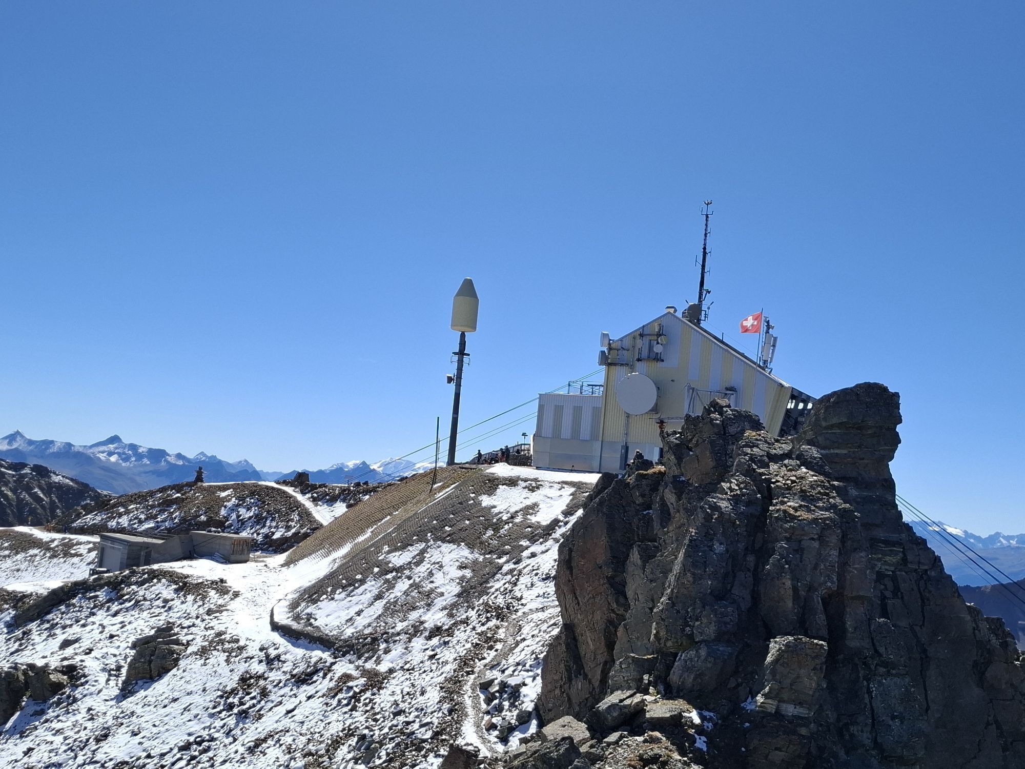
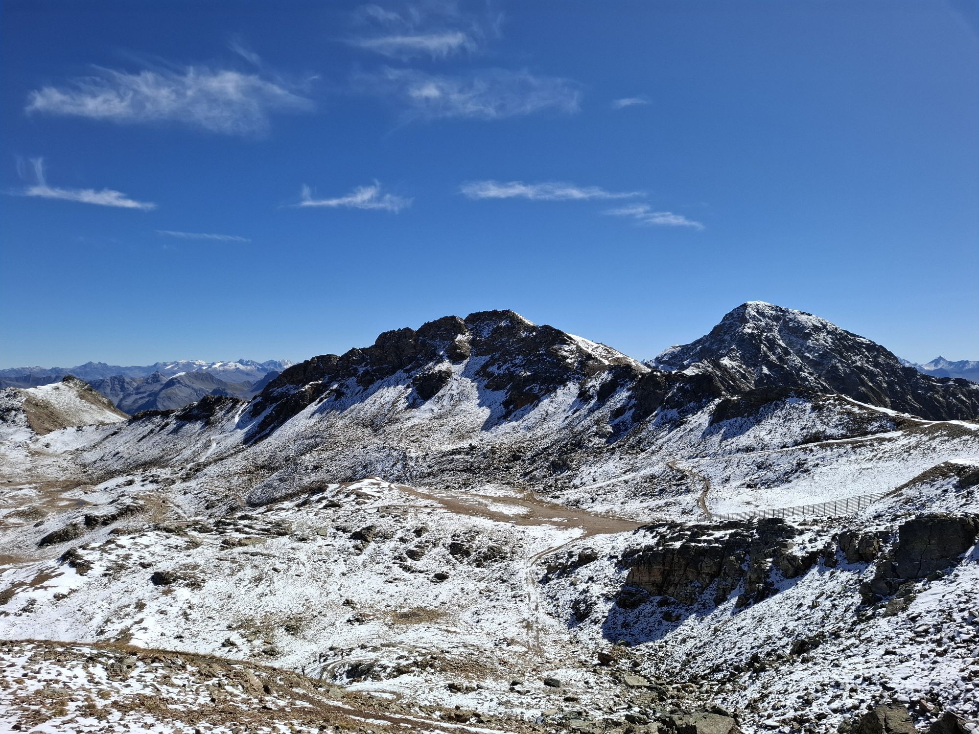
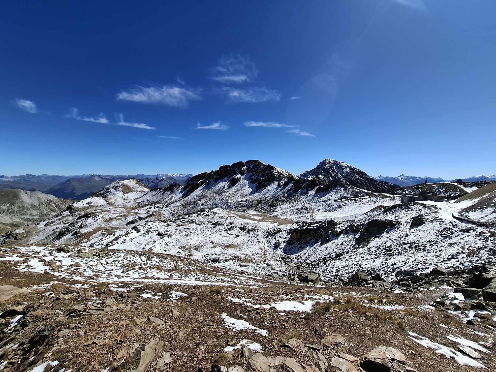
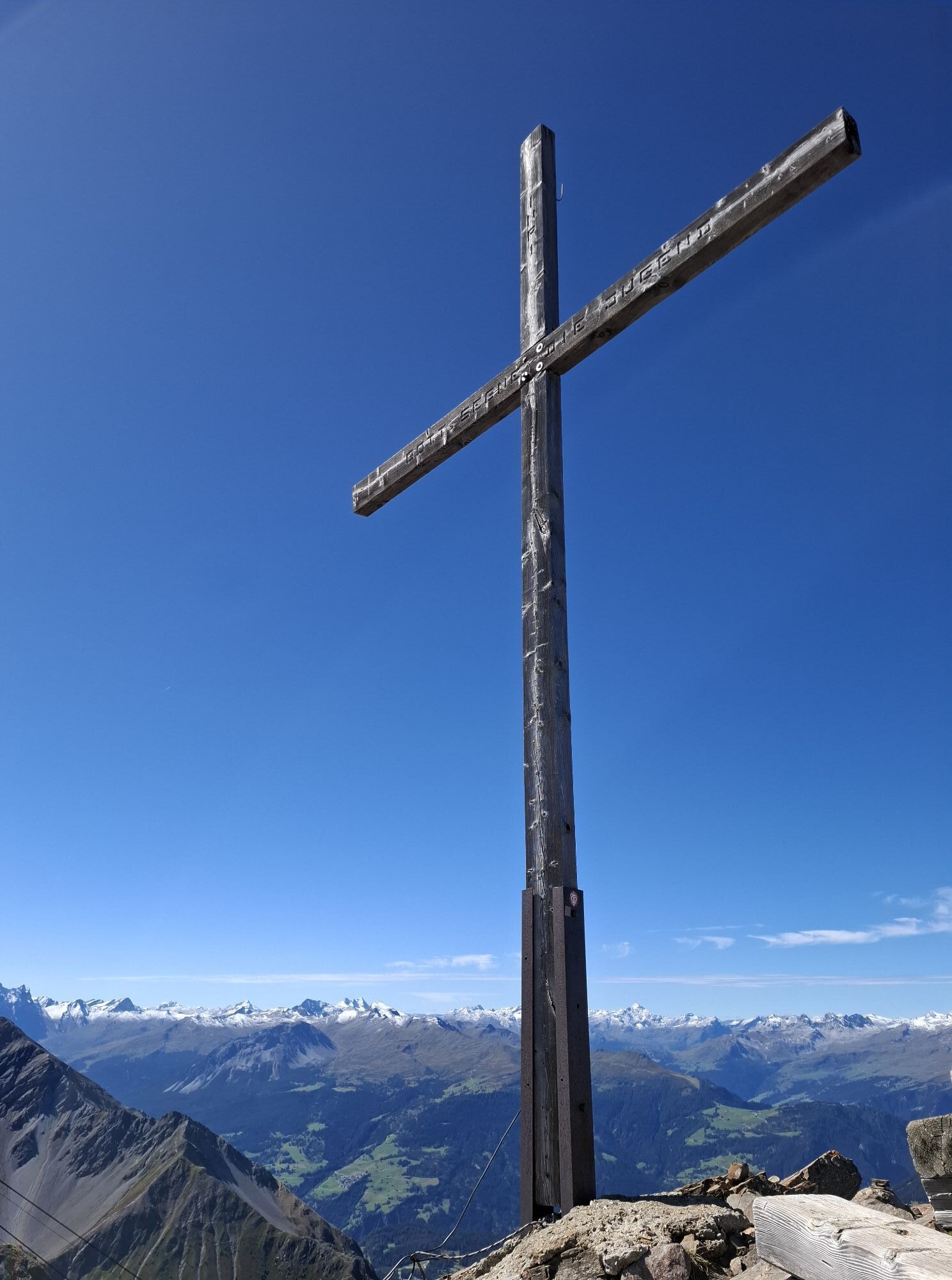
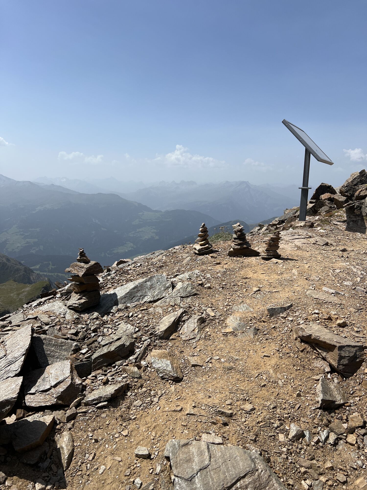
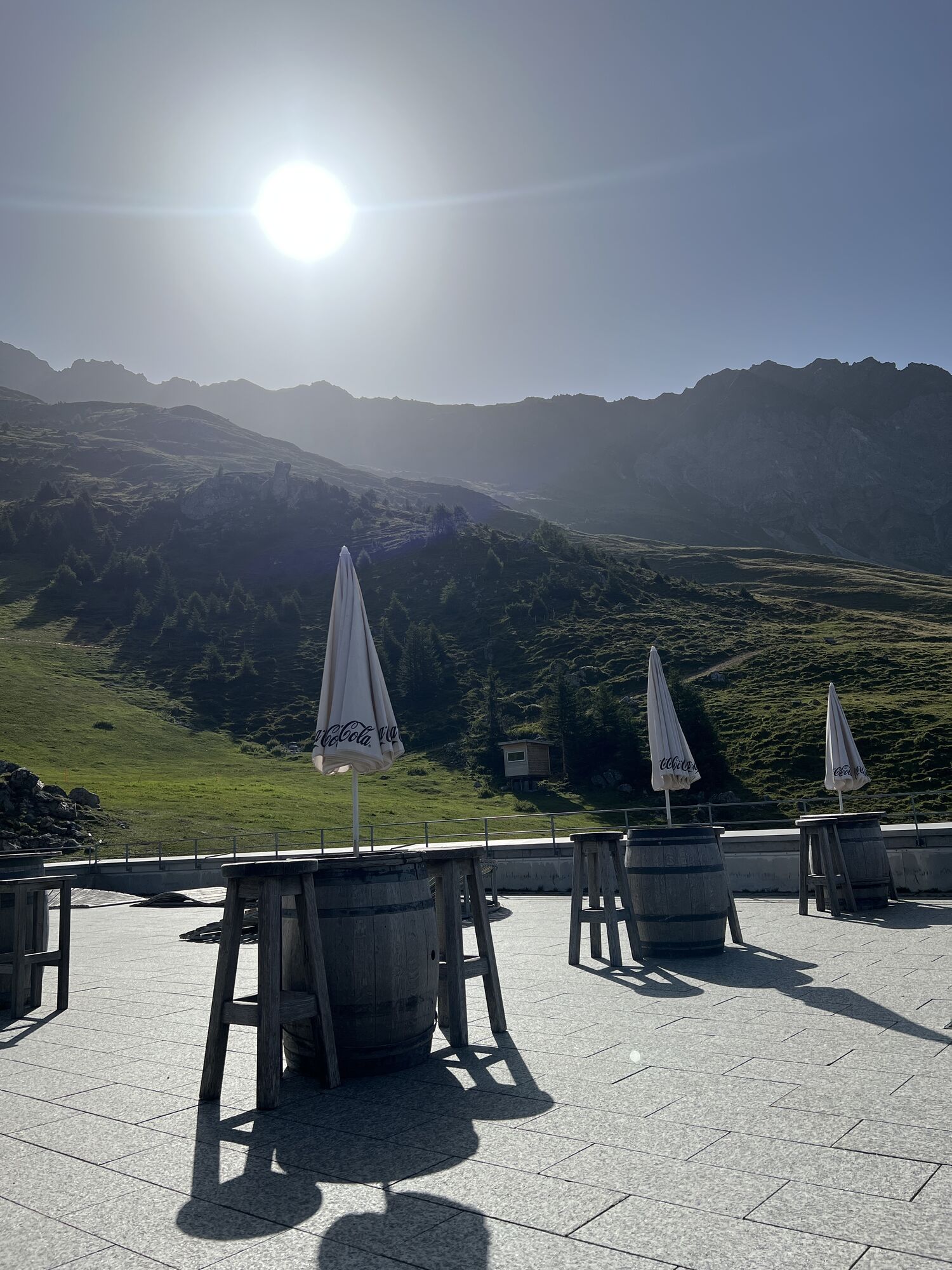
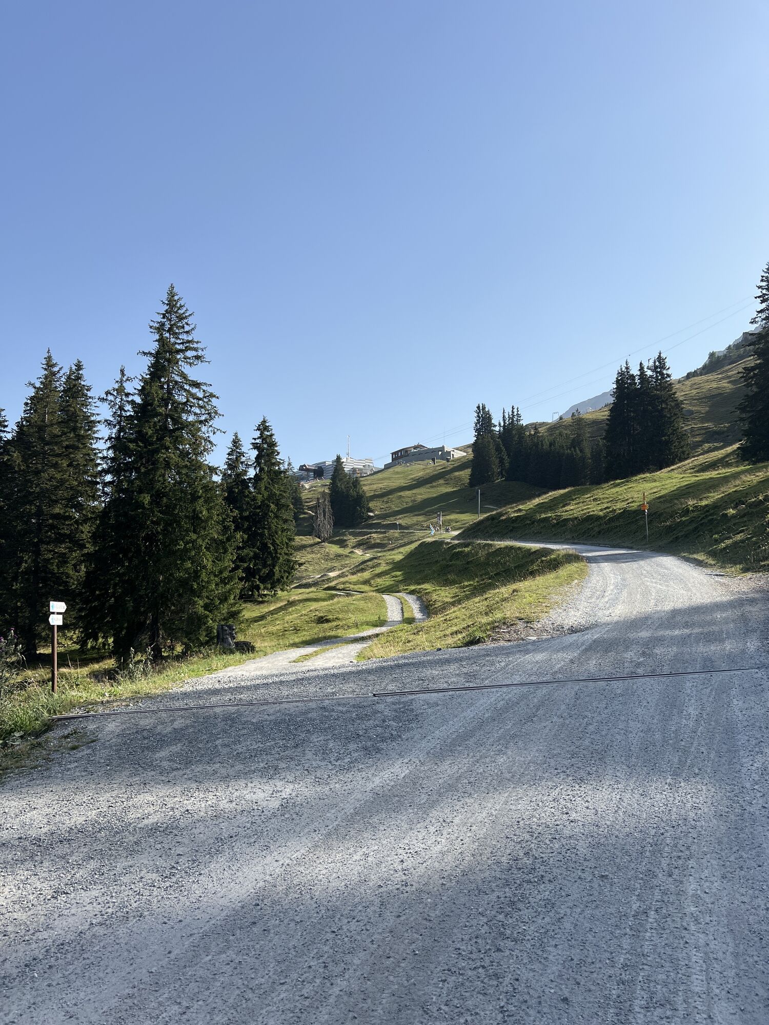
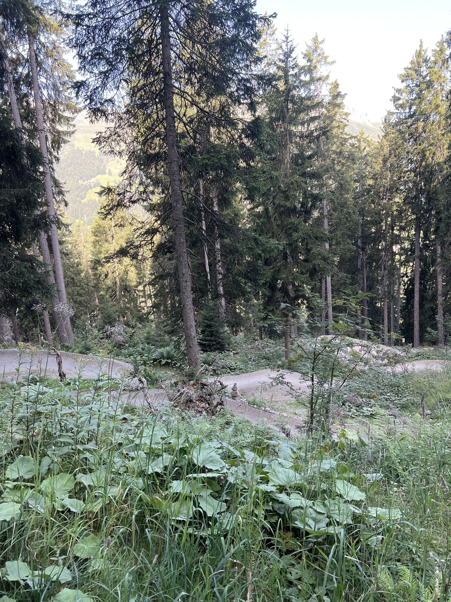
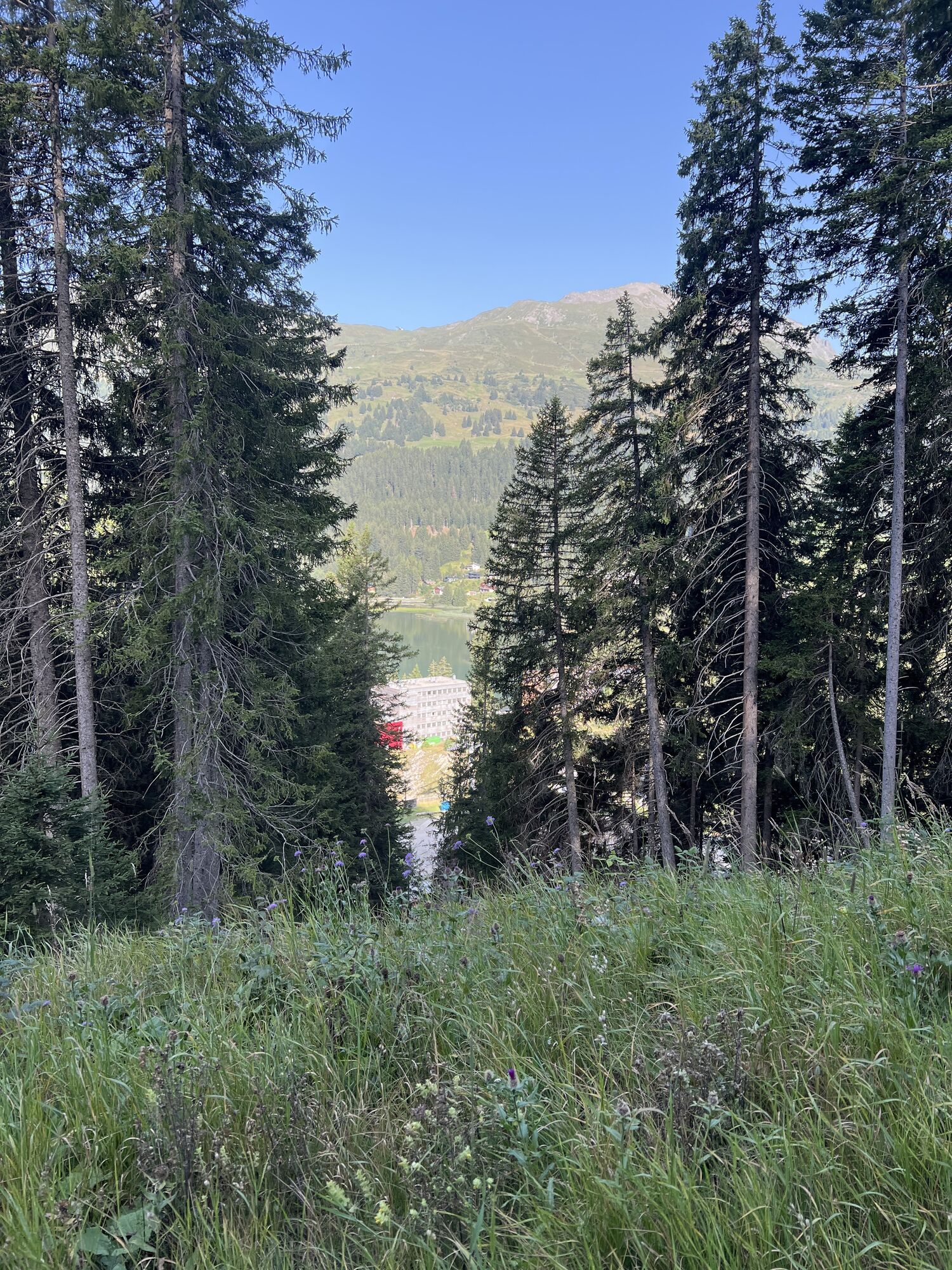
The Älpliseetrail is one of the most beautiful in the Rothorn massif. The route starts at Rothorn valley station. From there, you comfortably take the cable car up to the Rothorn summit. From there, you...
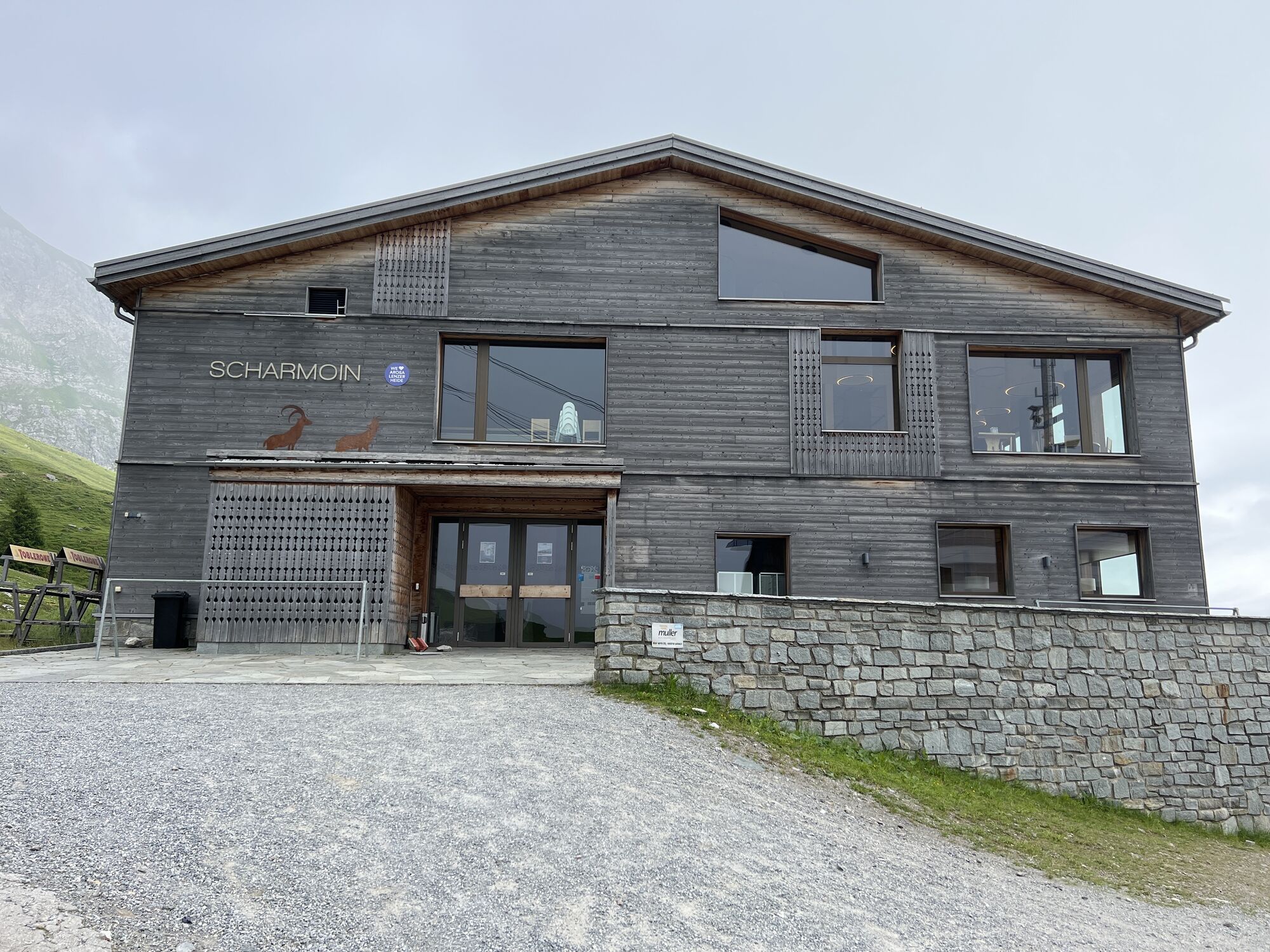
The Älpliseetrail is one of the most beautiful in the Rothorn massif. The route starts at Rothorn valley station. From there, you comfortably take the cable car up to the Rothorn summit. From there, you follow the Bike Attack route (no. 611) through the gallery to Gredigs Fürggli. Here the route turns right. Through the Schäfälpli valley, it goes towards Arosa, or the valley station of the Hörnli Express. This conveniently takes you up to Hörnli again. The Urden valley in front of you can now be crossed either by own effort or comfortably by cable car. Once at Urdenfürggli, follow the Bike Attack route (no. 611) to Scharmoin. From there, continue through the Lenzerheide Bikepark back to Rothorn valley station.
HOME OF TRAILS
By the way: Danny MacAskill and Claudio Caluori also enjoyed the trails in the video "Home of Trails" on the Parpaner Rothorn.
Discover Parpaner Rothorn

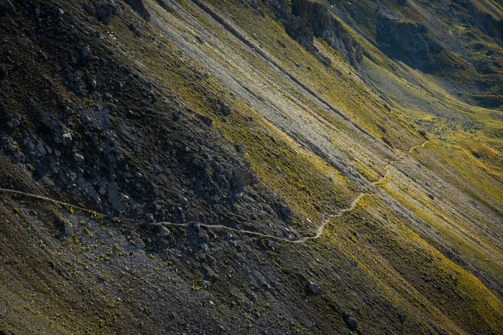
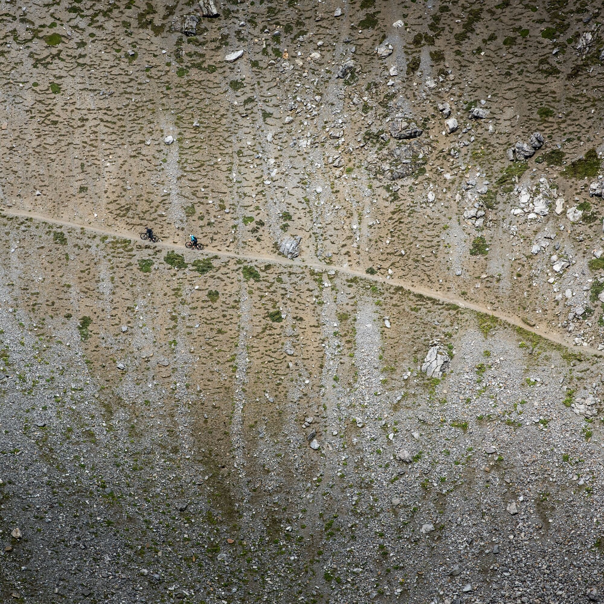

Rothorn valley station - Rothorn summit - Gallery - Gredigs Fürggli - Älplisee - Arosa - Hörnli - Urdenfürggli - Scharmoin - Rothorn valley station
Ano
The singletrail between Gredigs Fürggli and Arosa is technically challenging and partially exposed.
From Basel and Zurich - Chur-South (exit no. 17) - Lenzerheide.
From Milan - Lugano - San Bernardino Tunnel - Thusis - Chur (Lenzerheide exit) - Lenzerheide.
Travel by train to Chur, then transfer directly to the buses of PostautoGraubünden and reach Lenzerheide within 30 minutes.
Parking lot at Rothorn valley station
S3
Webové kamery z prohlídky
-
Arosa - Hörnli
-
Lenzerheide - Urdenfürggli
-
Lenzerheide - Parpaner Rothorn
-
Lenzerheide - Alp Stätz
-
Arosa - Tschuggen
-
Lenzerheide - Piz Scalottas
-
Lenzerheide - Talstation Rothorn
-
Arosa - Bärenland
-
Arosa - Weisshorn
-
Arosa - Dorf
-
Arosa - Alp Maran
-
Alp Maran - Golfhaus Arosa
-
Lenzerheide Dorf
-
Lenzerheide - Heimberg
-
Lenzerheide - Heidbüel
-
Wassersportzentrum Heidsee
-
Wassersportzentrum Heidsee
-
Arosa - Brüggerhorn

Oblíbené prohlídky v okolí
-
4.6
749 Val Meltger suspension bridge trail
středníTuristika 8.30 km -
3.9
Arosa-Medergen-Tritt-Latschüelfurgga-Strelapass-Davos
středníTuristika 22.5 km -
Arosa-Schwellisee-Älplisee-Parpaner Rothorn
Turistika 12.3 km -
4.7
Arosa-Hörnli-Parpaner Rothorn-Lenzerheide
Turistika 11.9 km -
3.5
Arosa-Maienfelder Furgga-Stafelalp-Davos
středníTuristika 15.9 km -
5.0
Alp Sanaspans - Rothorn
heavyTuristika 13.6 km -
5.0
Eichhörnliweg Arosa
světloTematická stezka 1.72 km -
5.0
Arosa-Hörnli-Urdenfürrgli-Alp Scharmoin-Lenzerheide
středníTuristika 15.3 km -
5.0
4-Viaduct hike
středníTuristika 13.6 km -
5.0
767 Alteinsee Schiesshorn
středníTuristika 11.9 km
Pěší turistika a stopování


Nenechte si ujít nabídky a inspiraci pro vaši příští dovolenou
Vaše e-mailová adresa byl přidán do poštovního seznamu.





