







Alpine City Trail

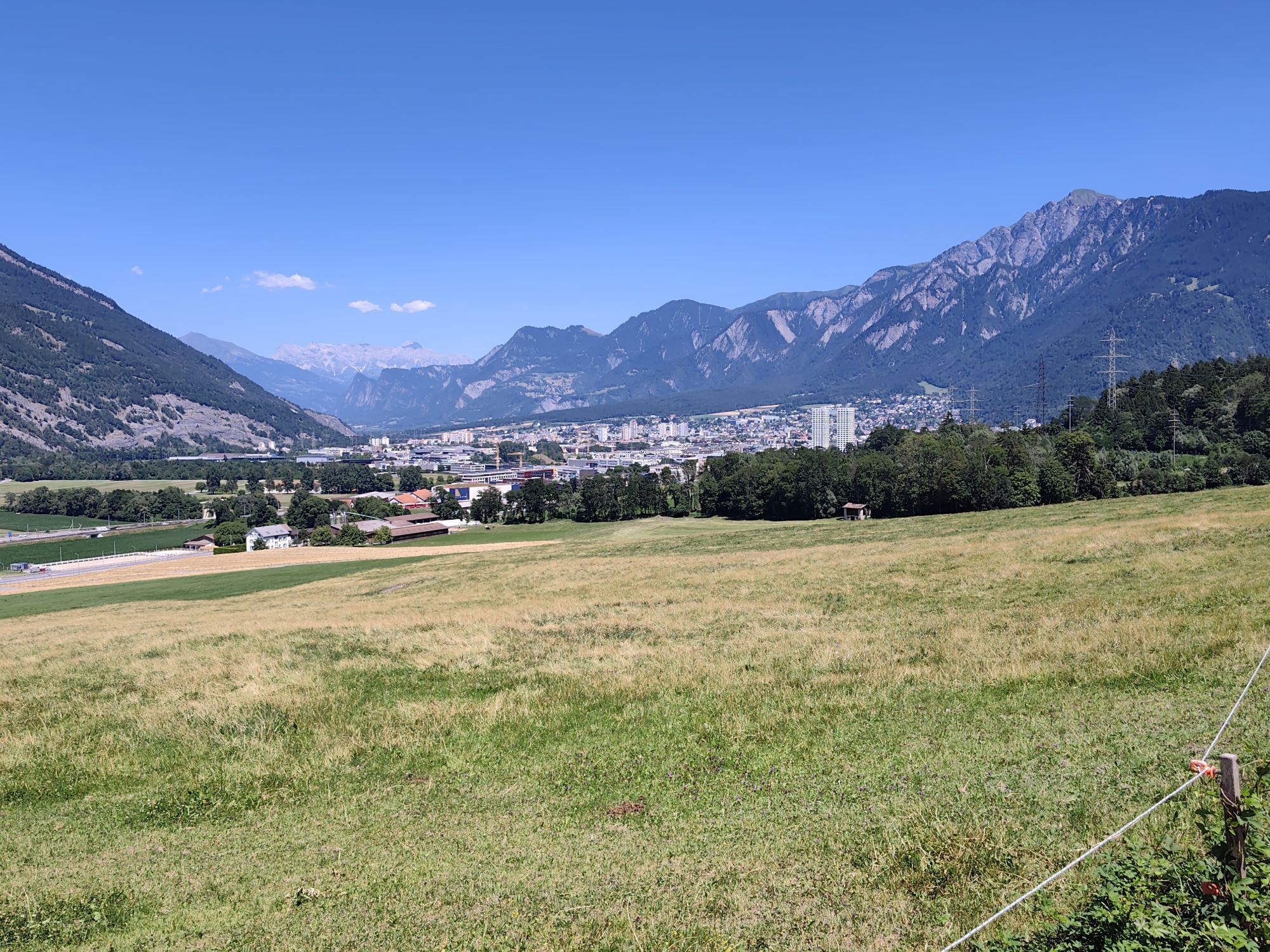
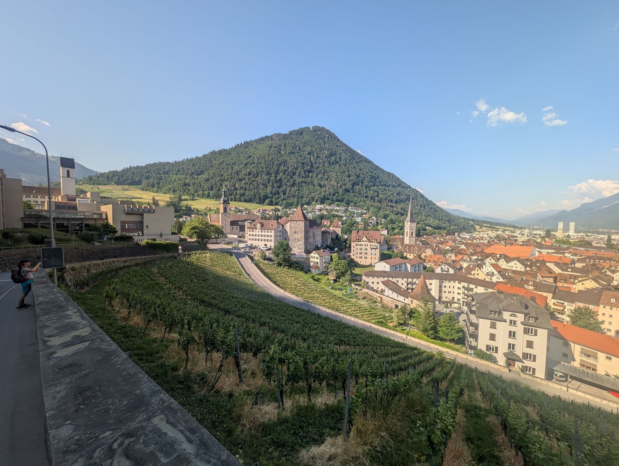
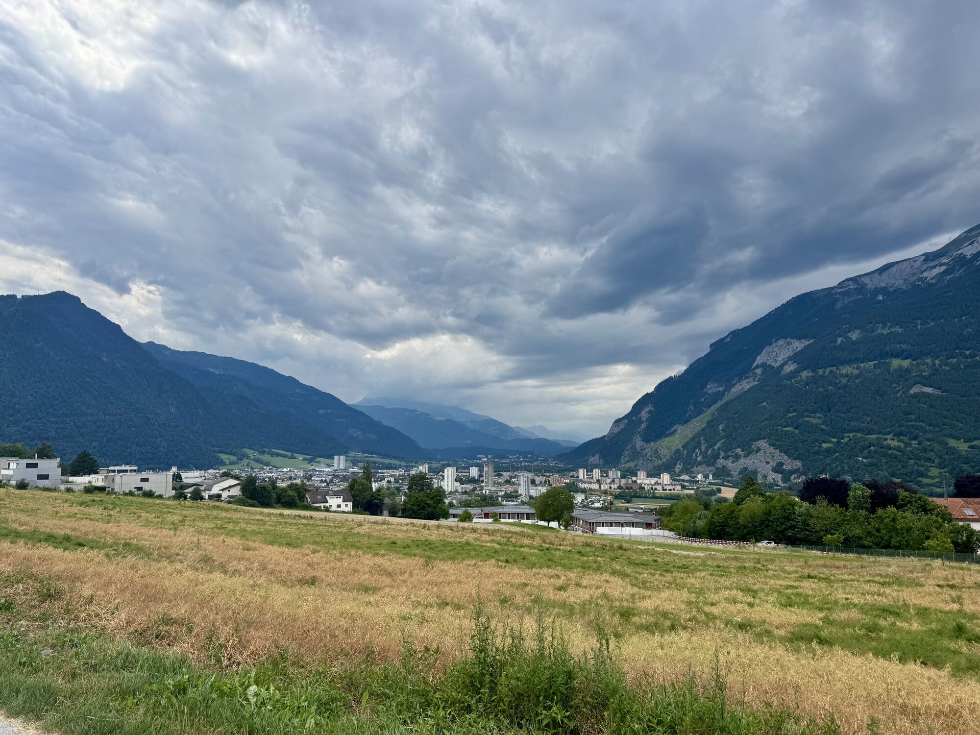
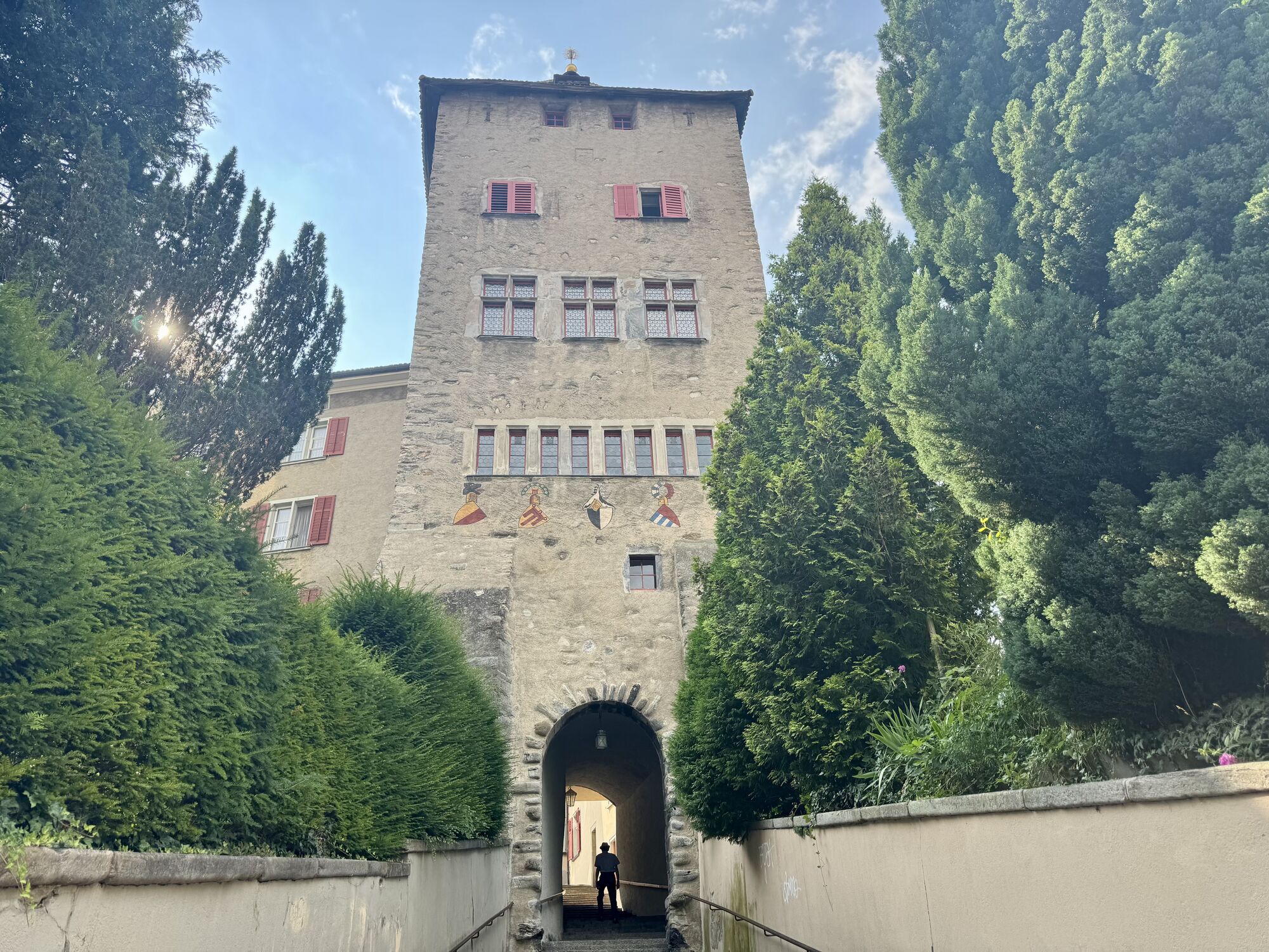
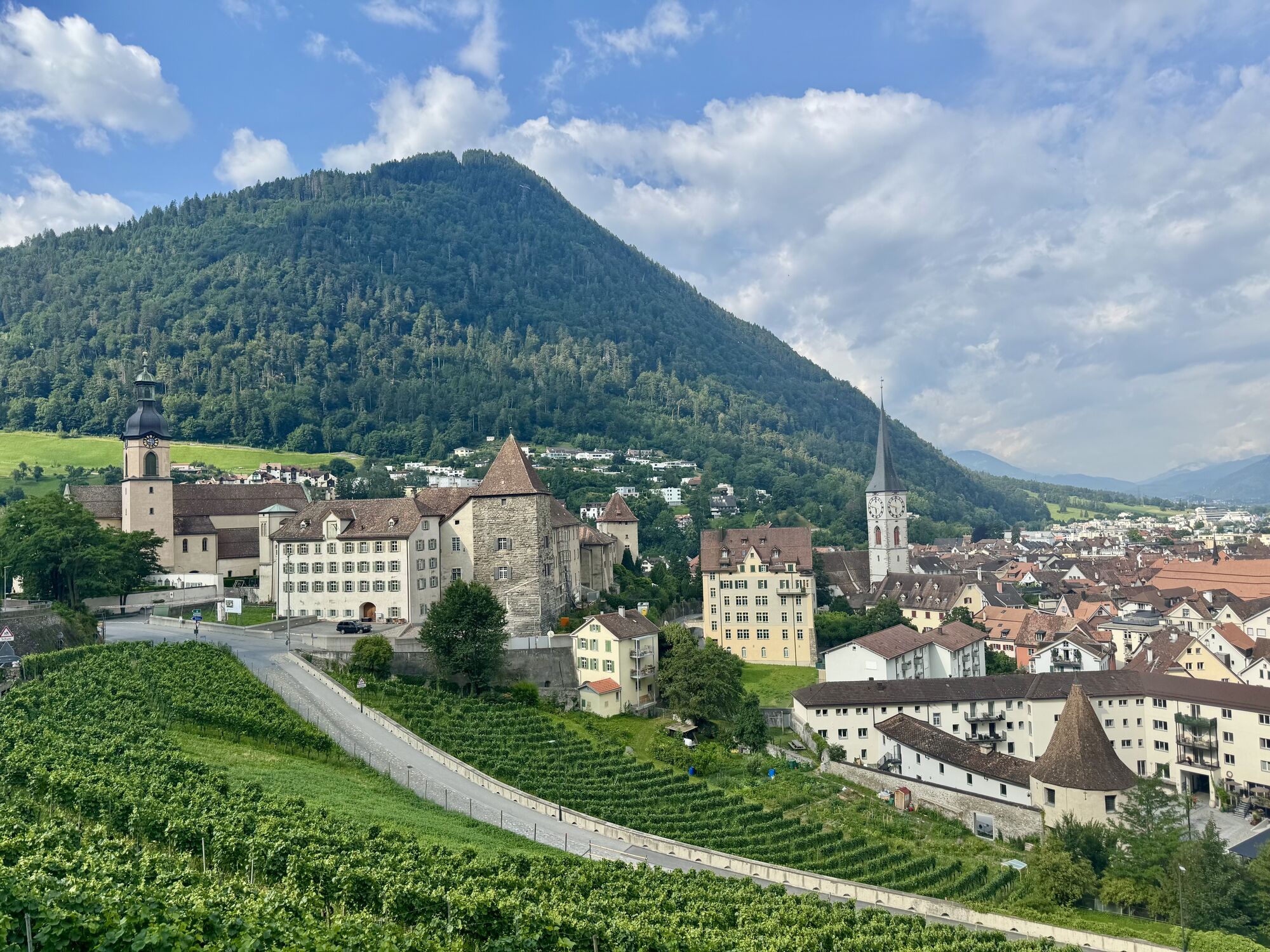
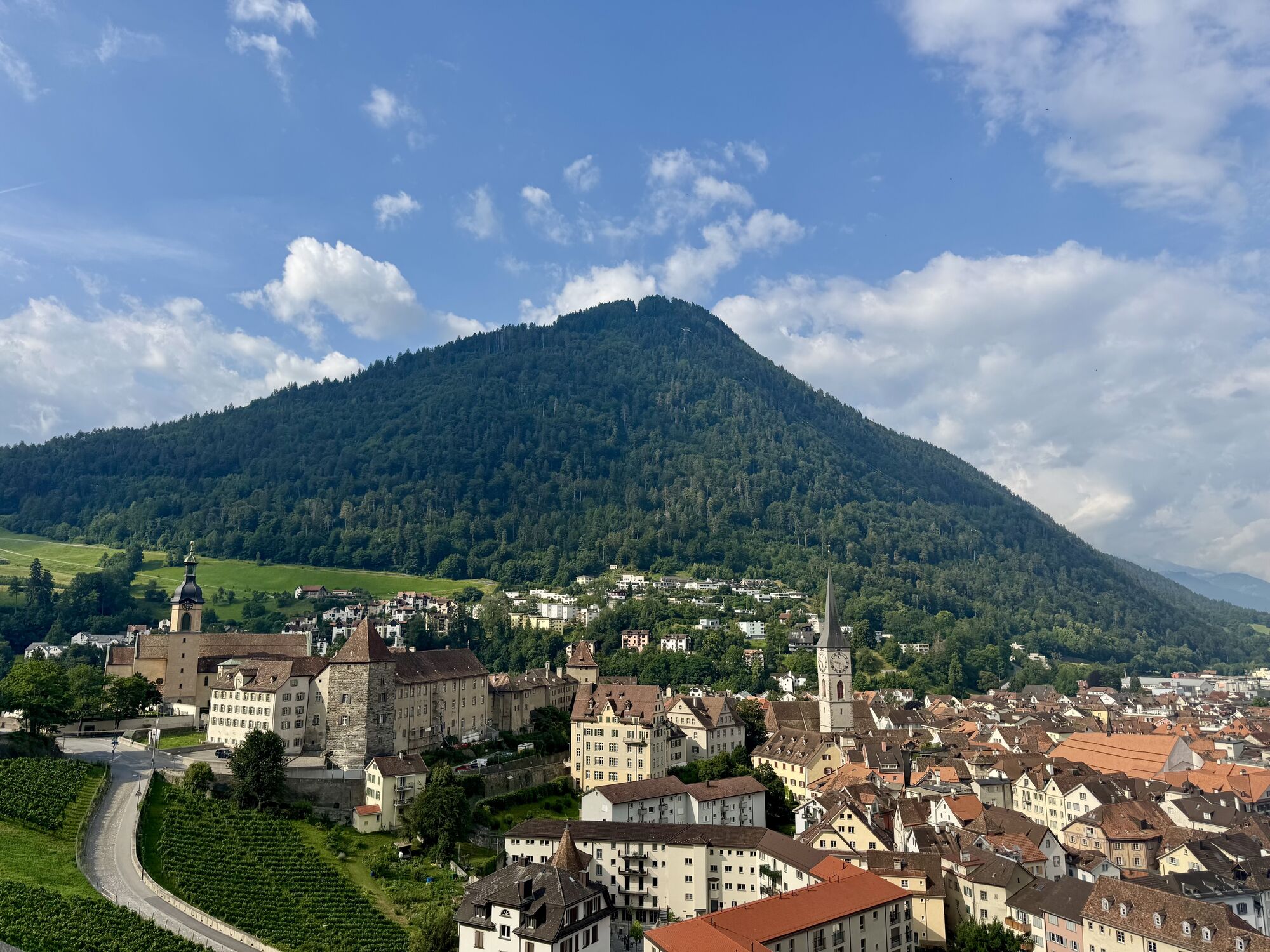
The start takes place at the Obertor and through the historic old town of Chur, past the bishop's court and the cathedral and shortly afterwards on natural paths and through the residential quarter to...
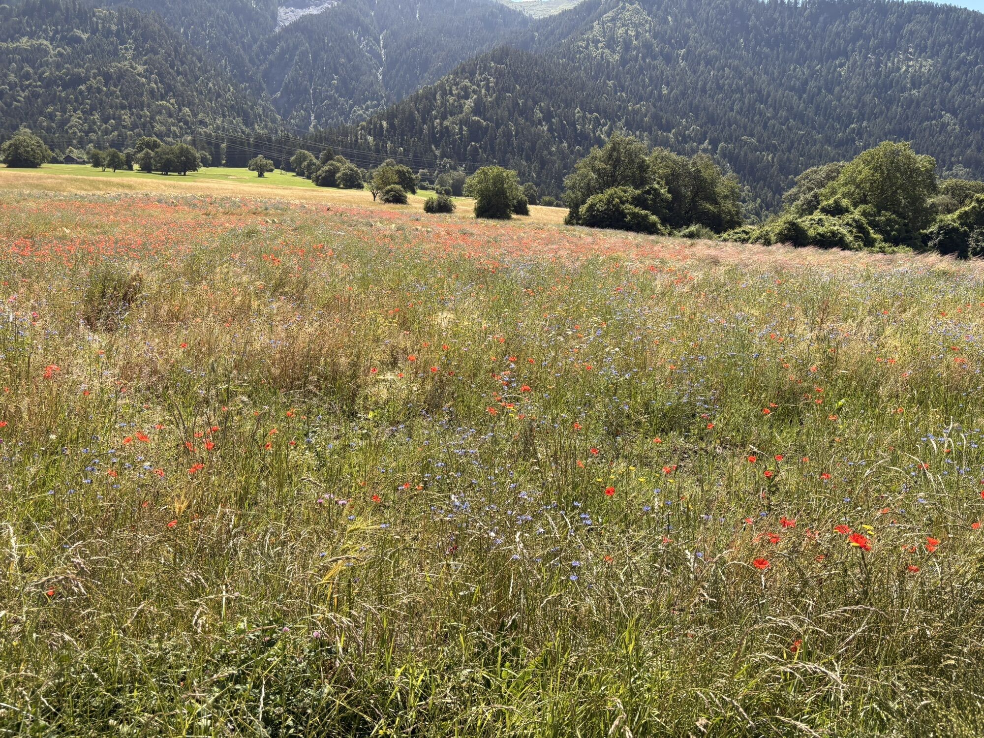
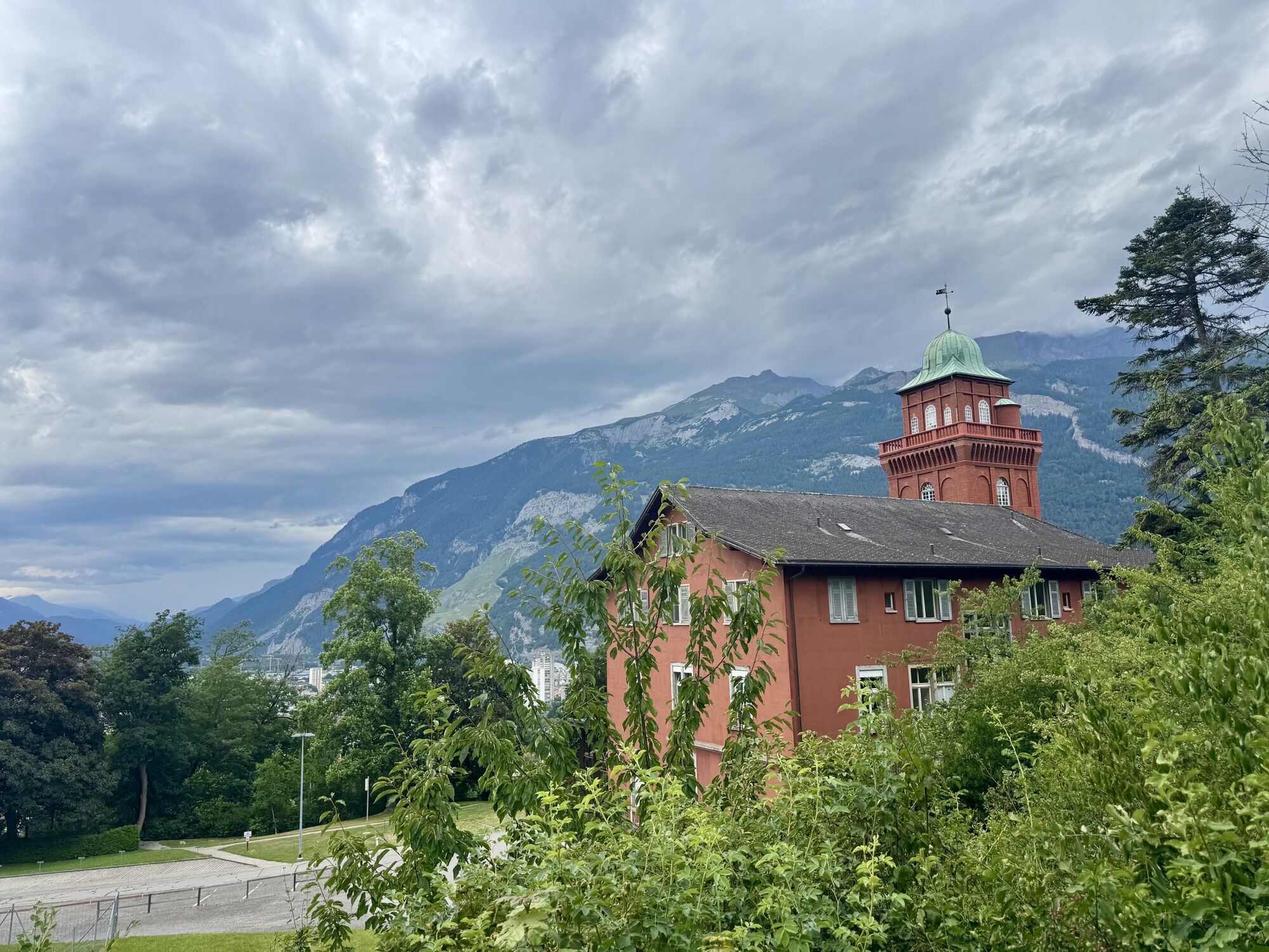
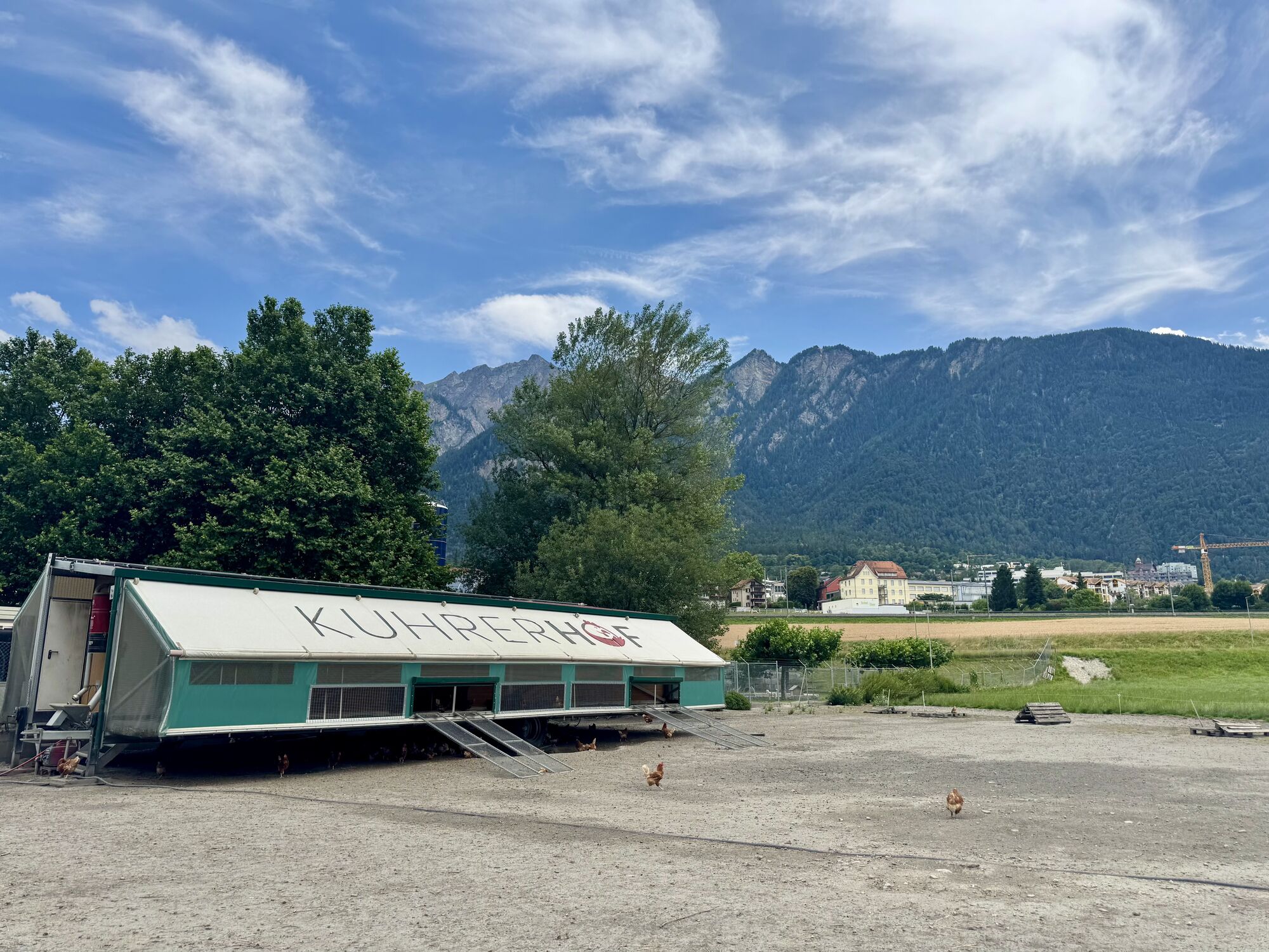
The start takes place at the Obertor and through the historic old town of Chur, past the bishop's court and the cathedral and shortly afterwards on natural paths and through the residential quarter to the Fürstenwald recreation area. After a nice round through the forest we descend again towards the Mühleturm and the banks of the Rhine. After a longer flat stretch along the Rhine, the way back follows a magnificent section of forest until you finally immerse yourself in city life again from the Rosenhügel back to the old town.

Oblíbené prohlídky v okolí
-
4.8
Tamina Gorge Circular Route
středníTuristika 14.0 km -
4.6
Pizalun circular route
světloTuristika 7.18 km -
4.8
Mountain hike to the Strudeltöpfe on Alp Mora: Bargis-Trin
heavyTuristika 18 km -
5.0
Circular hike Bettlerweg & 2-Lakes Hike Pizol
středníTuristika 11.4 km -
4.5
Pizol summit tour
středníTuristika 9.28 km -
Arosa-Schwellisee-Älplisee-Parpaner Rothorn
Turistika 12.3 km -
4.5
Drachenloch
heavyTuristika 9.72 km -
4.7
Arosa-Hörnli-Parpaner Rothorn-Lenzerheide
Turistika 11.9 km -
5.0
Arosa-Hörnli-Urdenfürrgli-Alp Scharmoin-Lenzerheide
středníTuristika 15.3 km -
3.0
From Vättis to the Walser settlement St. Martin
středníTuristika 8.03 km
Pěší turistika a stopování


Nenechte si ujít nabídky a inspiraci pro vaši příští dovolenou
Vaše e-mailová adresa byl přidán do poštovního seznamu.





