


Schanfigg High Route, 6th stage, Hochwang - Chur
Úroveň obtížnosti: T2
Fotografie našich uživatelů
-
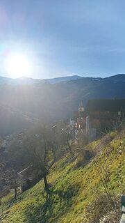
 © alinraduVytvořeno dne 19.10.2025
 -
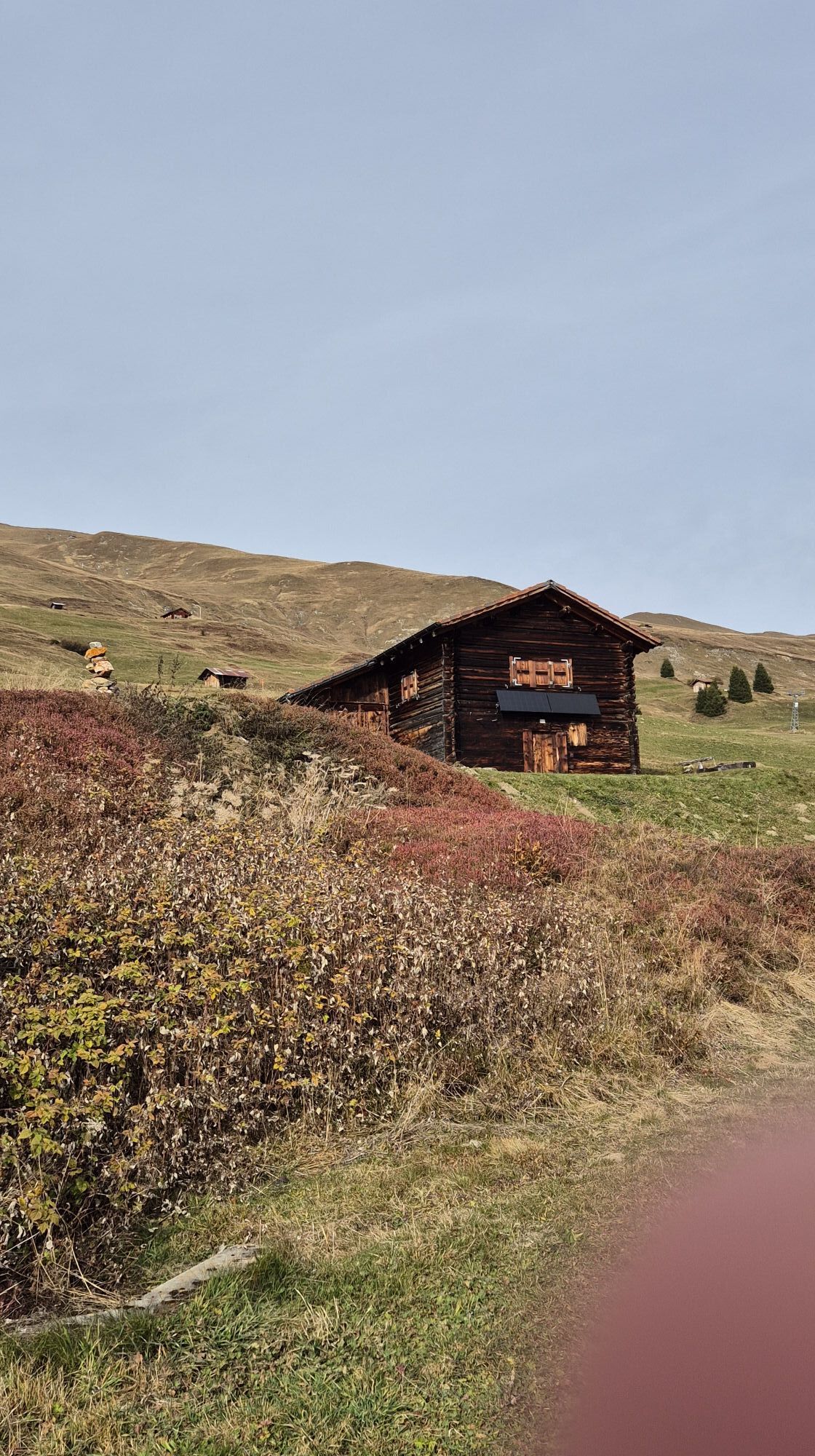
 © alinraduVytvořeno dne 19.10.2025
 -
 © alinraduVytvořeno dne 19.10.2025
 -

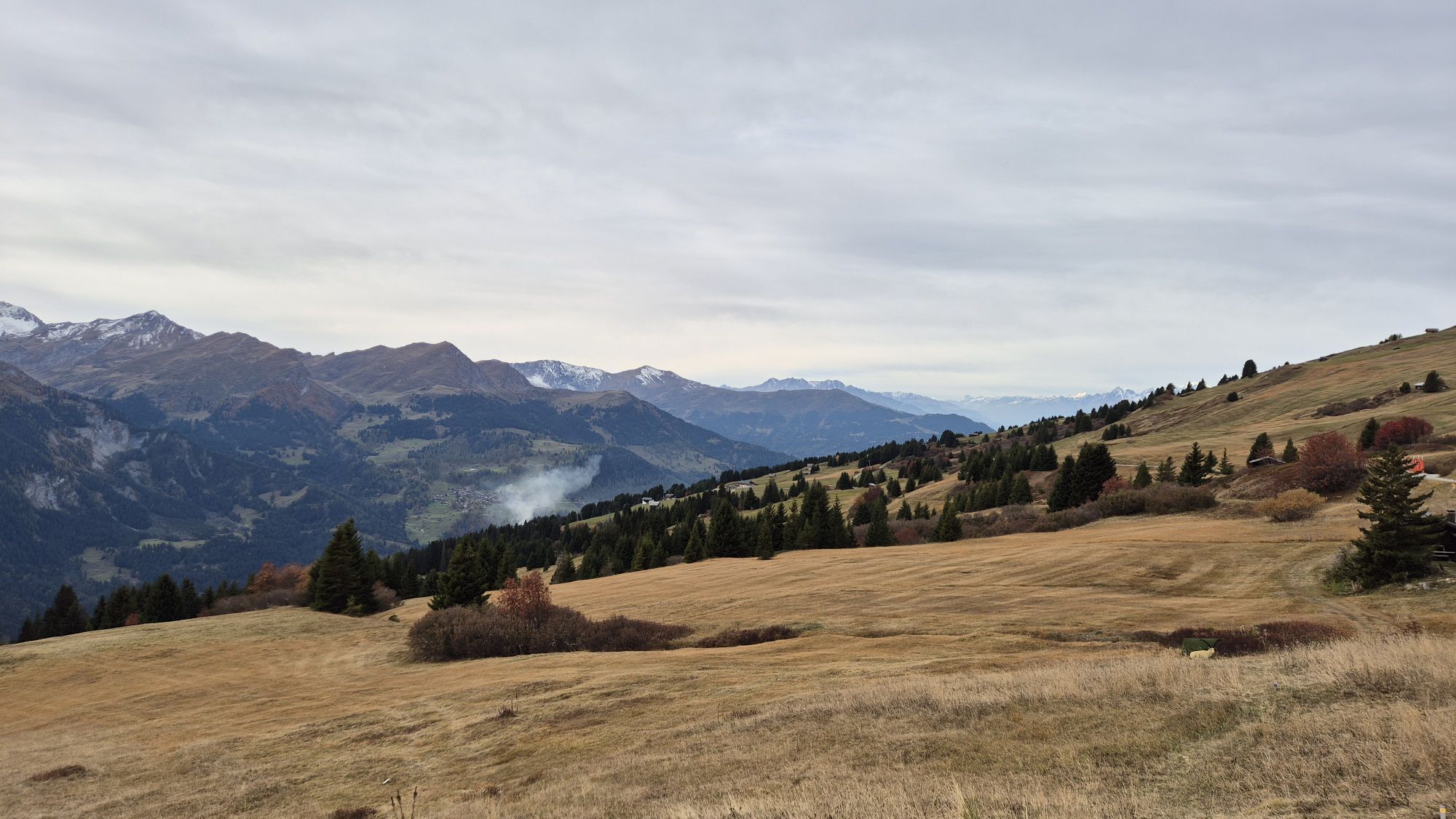
 © Thomas PfiffnerVytvořeno dne 06.07.2025
 -
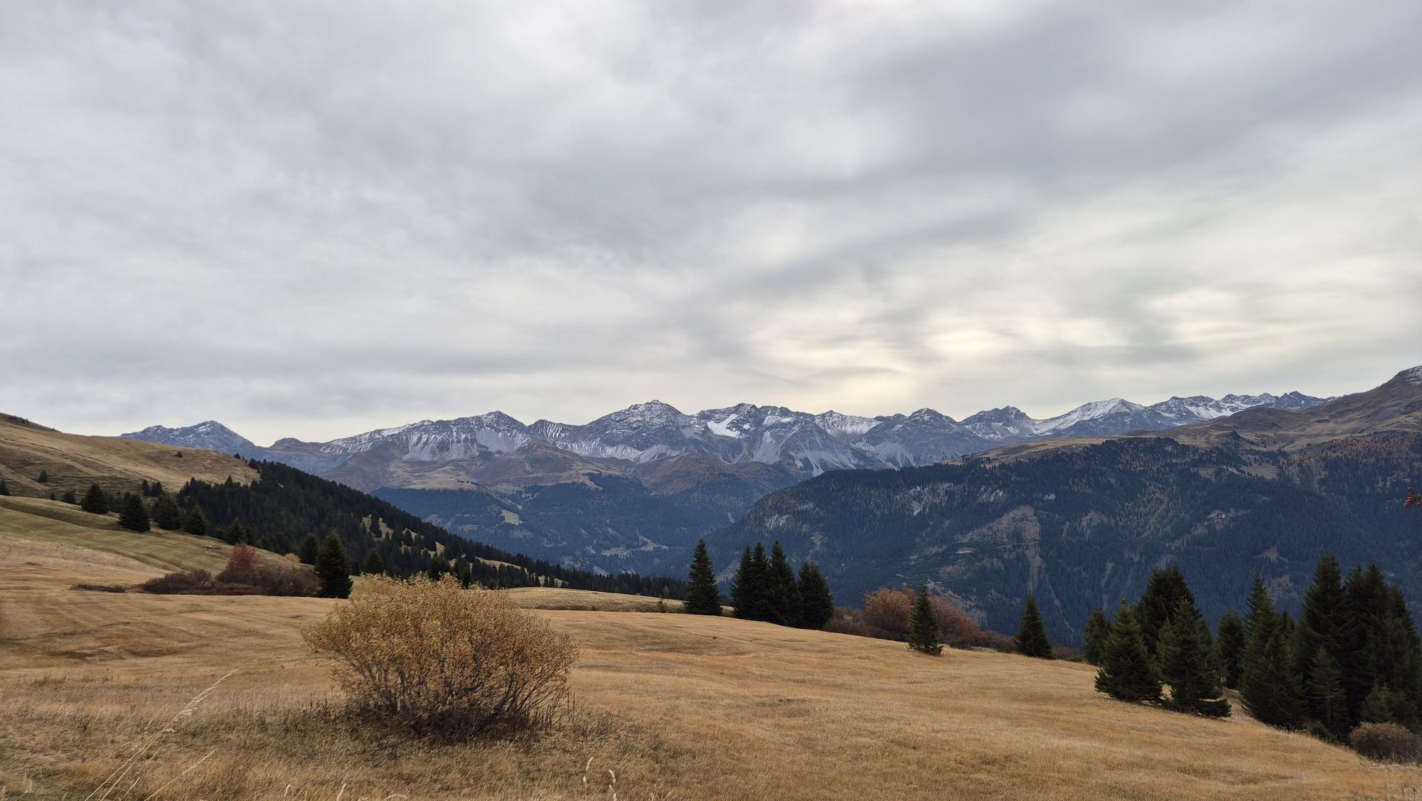
 © Thomas PfiffnerVytvořeno dne 06.07.2025
 -
 © Thomas PfiffnerVytvořeno dne 06.07.2025
 -

 © Mark HeemskerkVytvořeno dne 24.04.2025
 -

 © Kiko Alexandro Carvalho CarvalhoVytvořeno dne 10.03.2024
 -
 © Joe TäschlerVytvořeno dne 09.12.2025
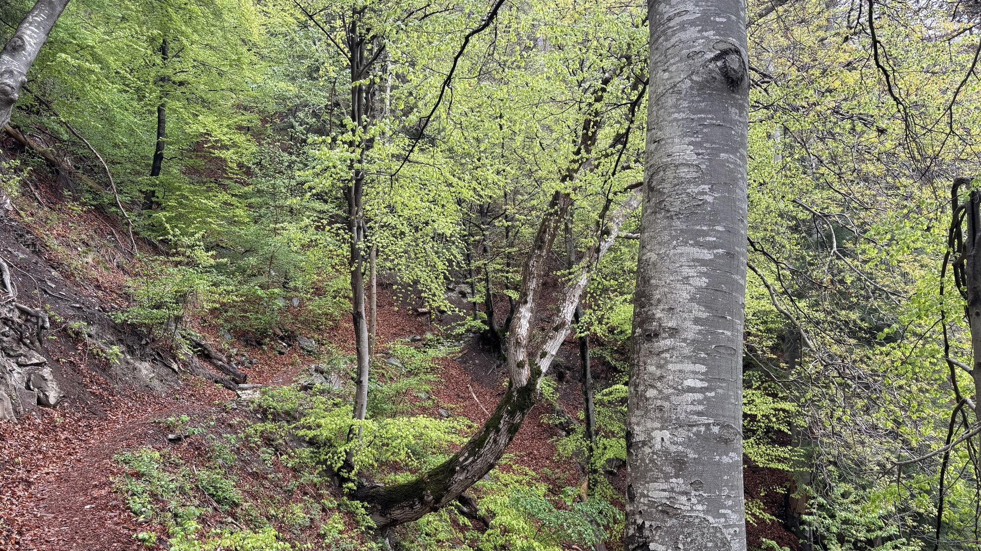
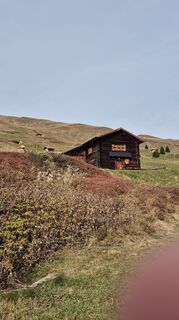
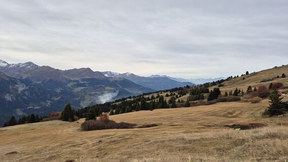
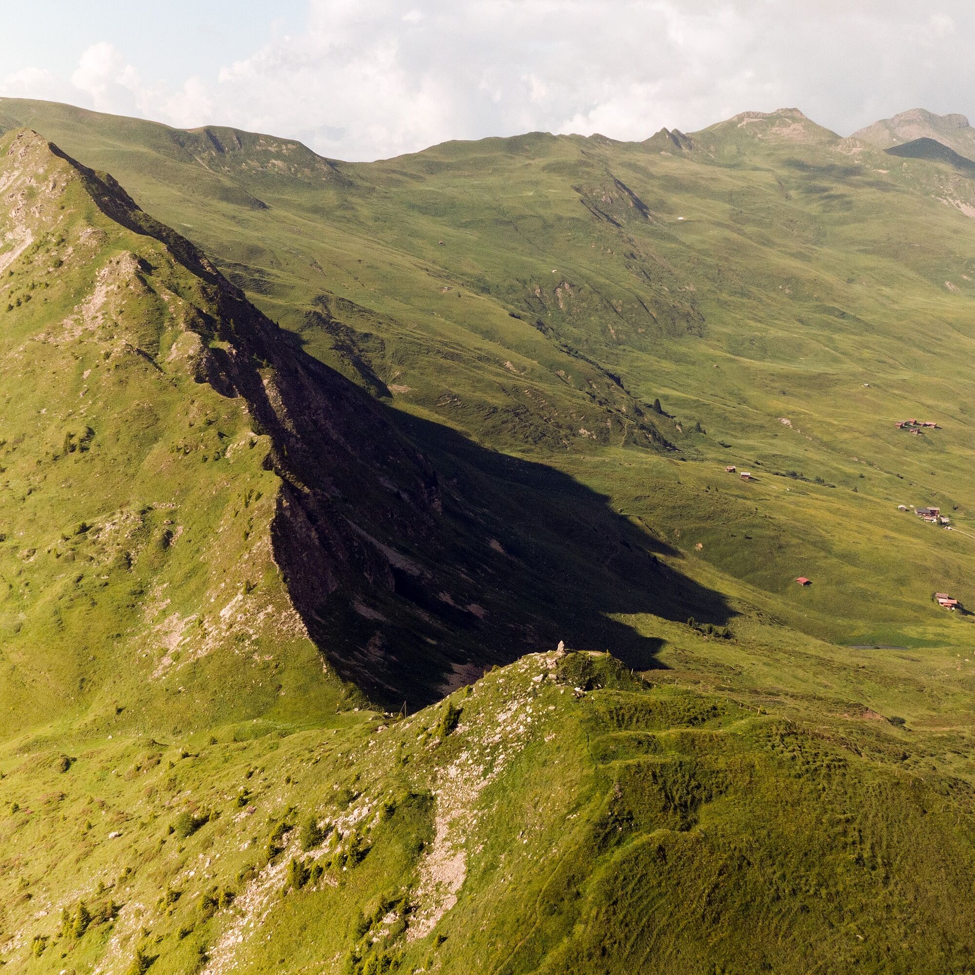
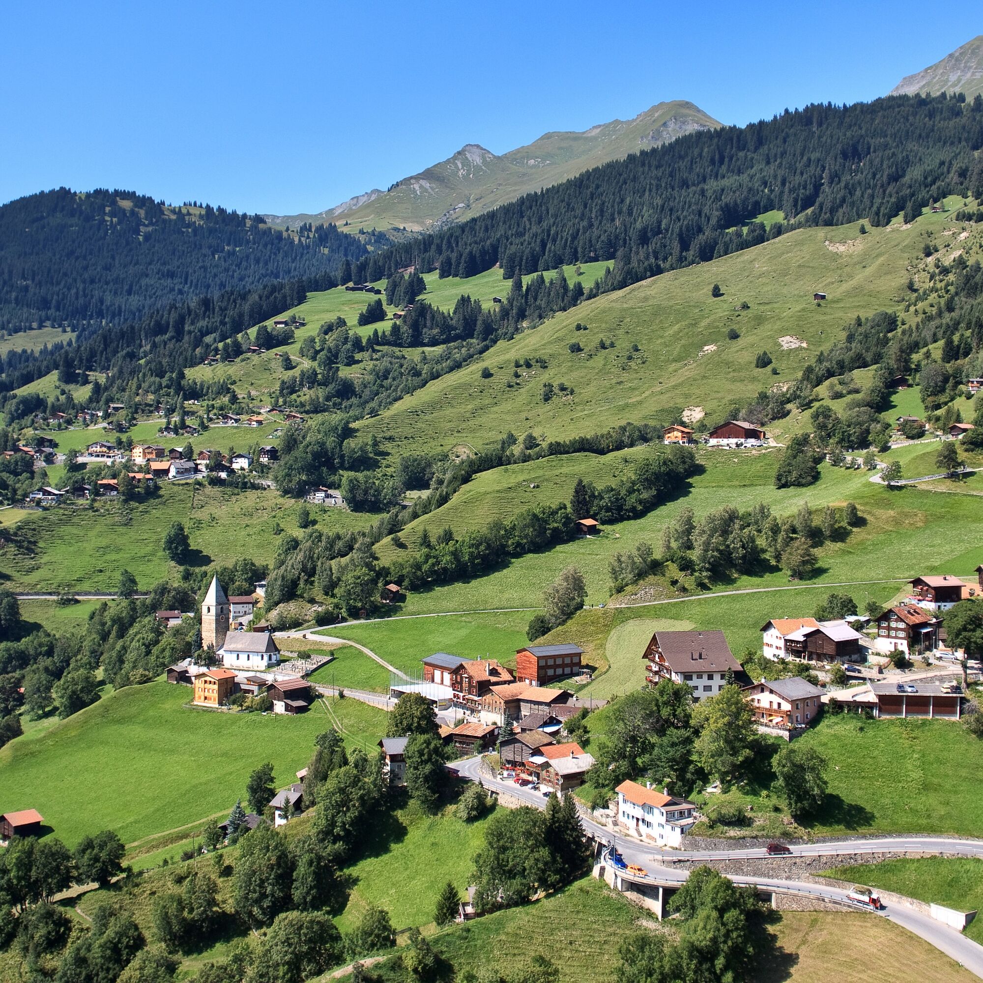
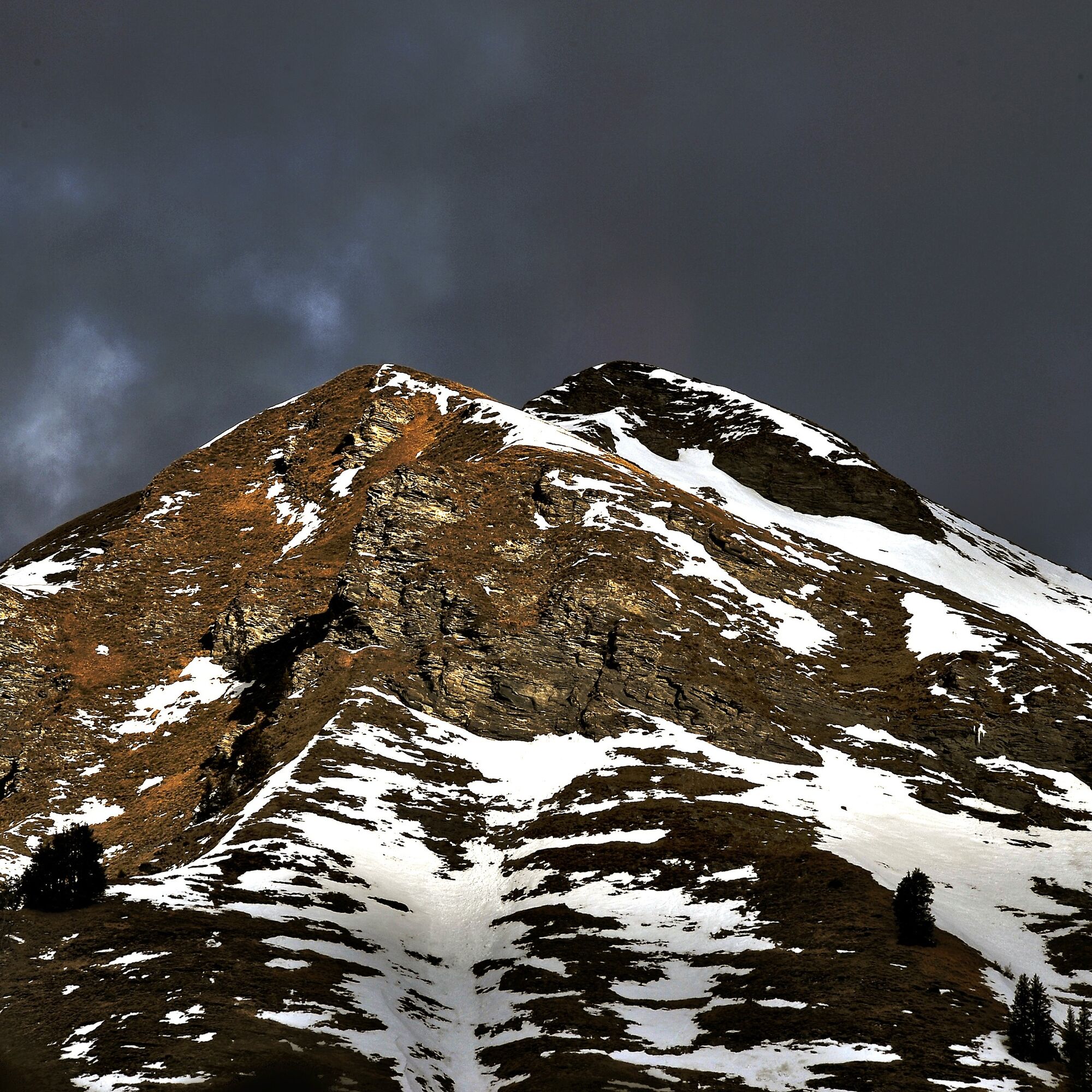
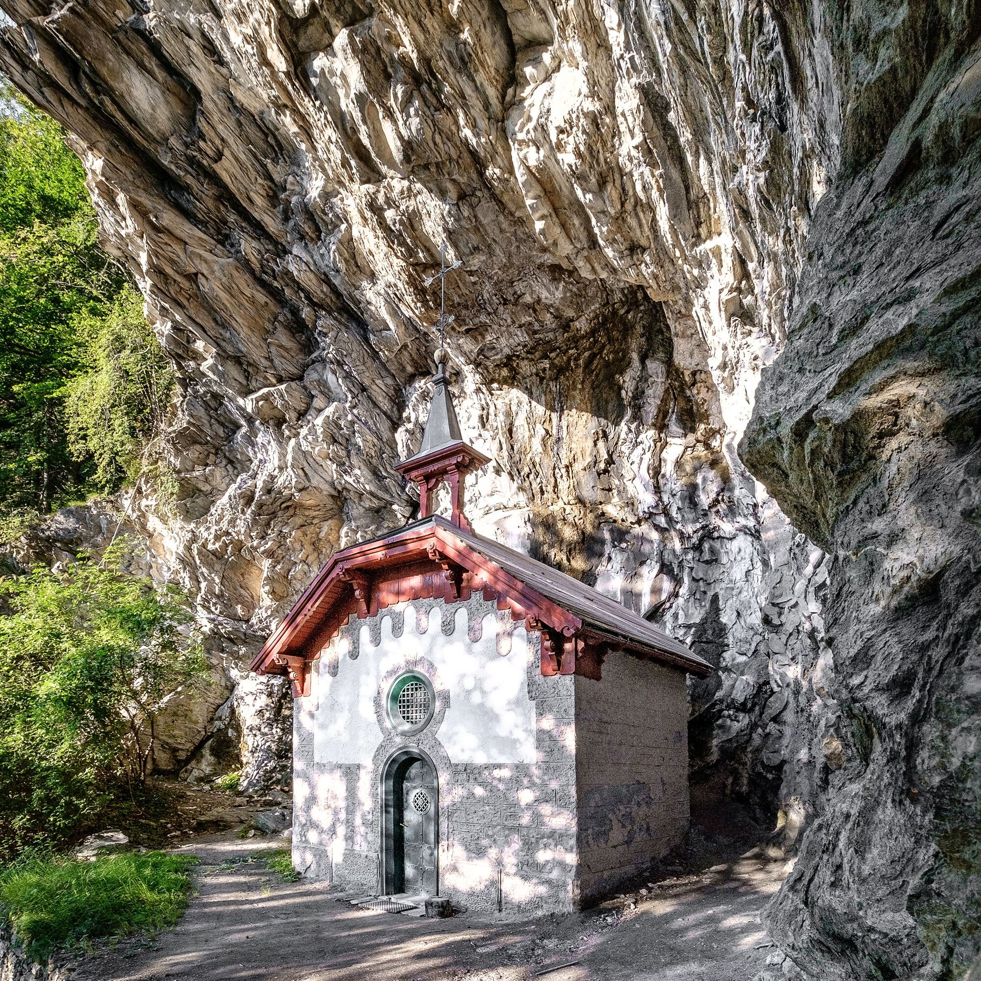
This section of the route is the “wildest” part of the long-distance hike. Although beautiful, traditional mountain pastures Lafet and Balnettis are passed and you walk past alpine meadows, you are often...
This section of the route is the “wildest” part of the long-distance hike. Although beautiful, traditional mountain pastures Lafet and Balnettis are passed and you walk past alpine meadows, you are often in wild gorges. The path here is little used and is not part of alpine access roads like in other sections. It is all the more astonishing when you suddenly meet farmers who are haymaking. The meadows are very high and steeply located, and the access from the valley also leads over extremely steep roads, which are now being replaced by – naturally sensible – land improvement roads.

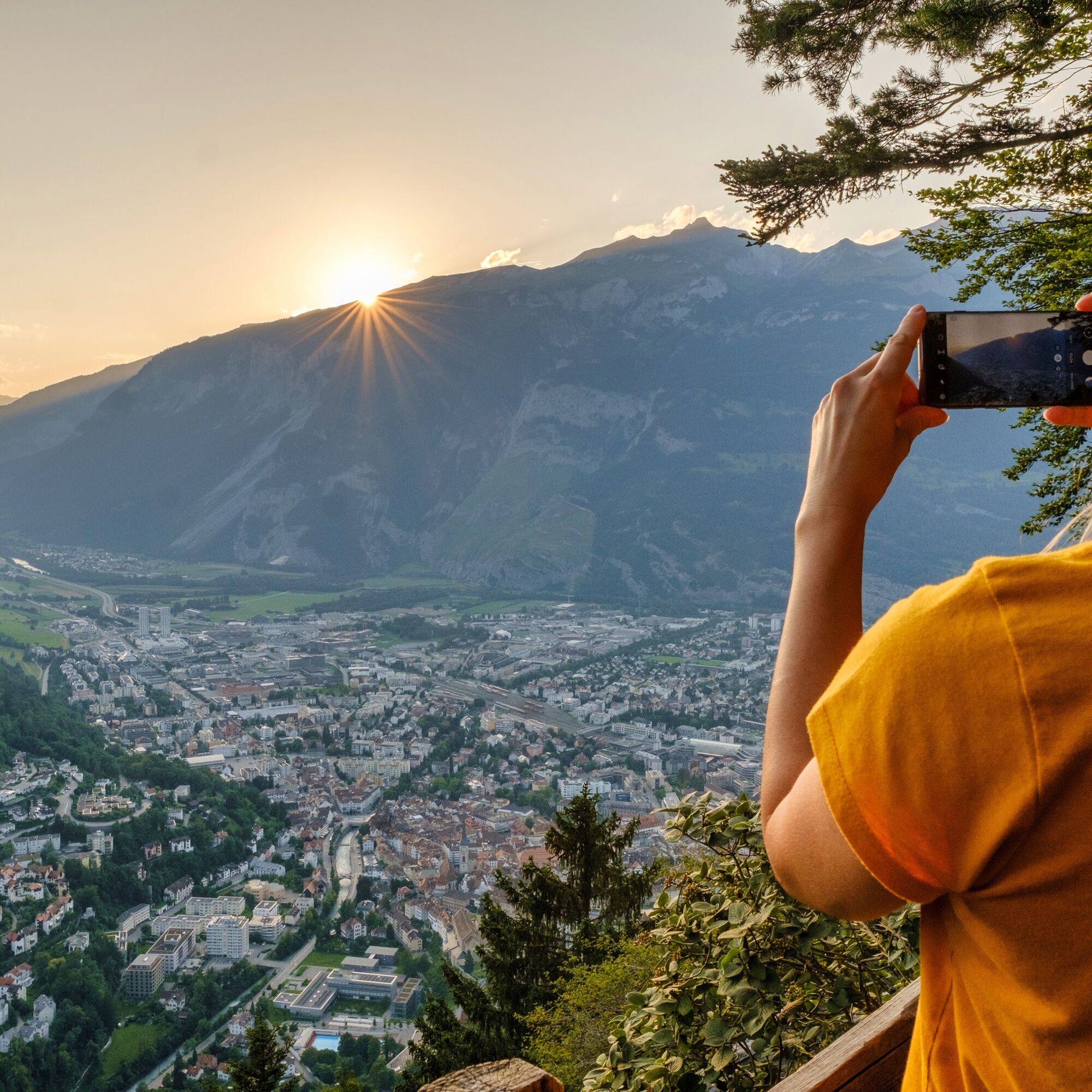
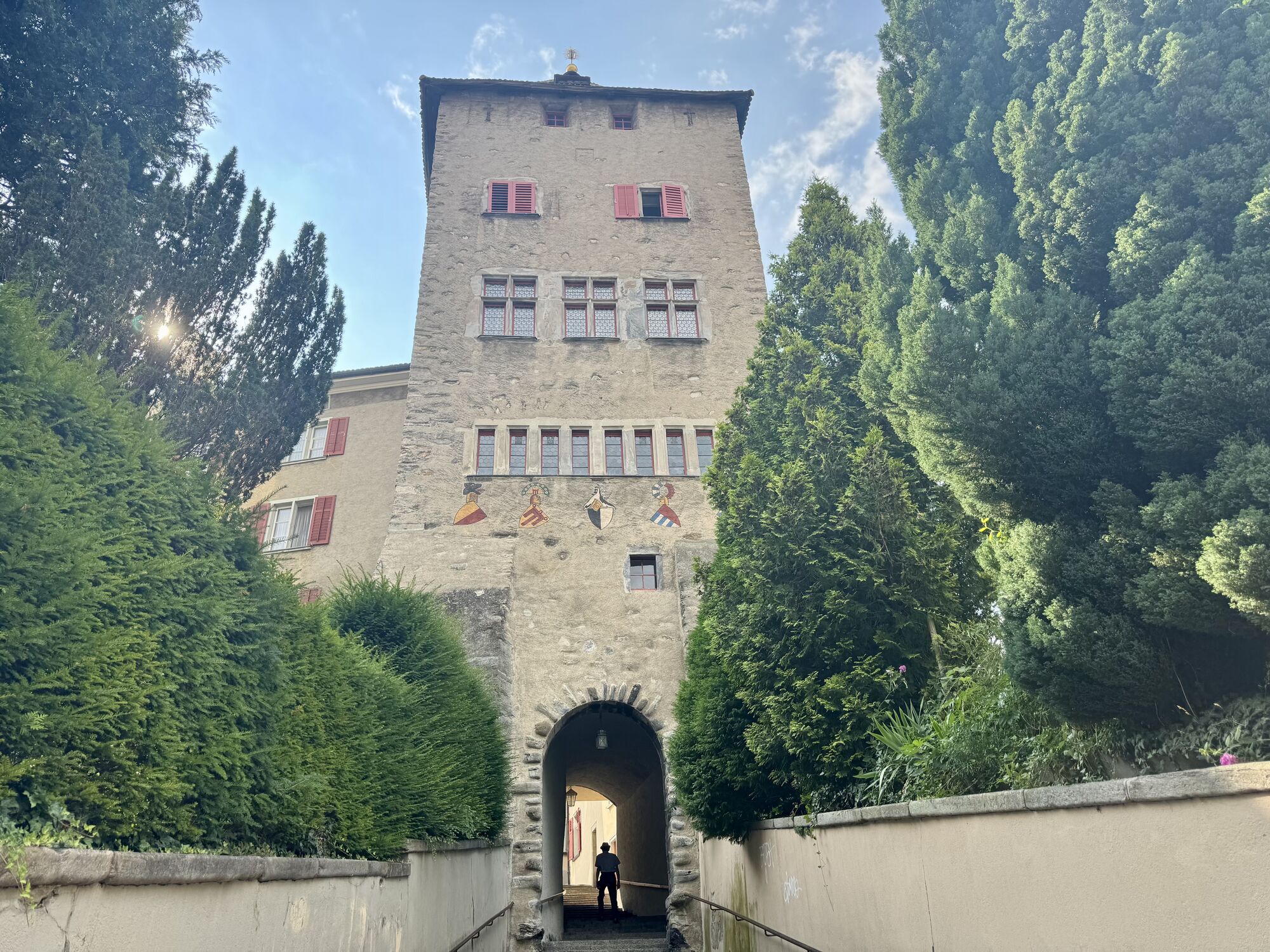
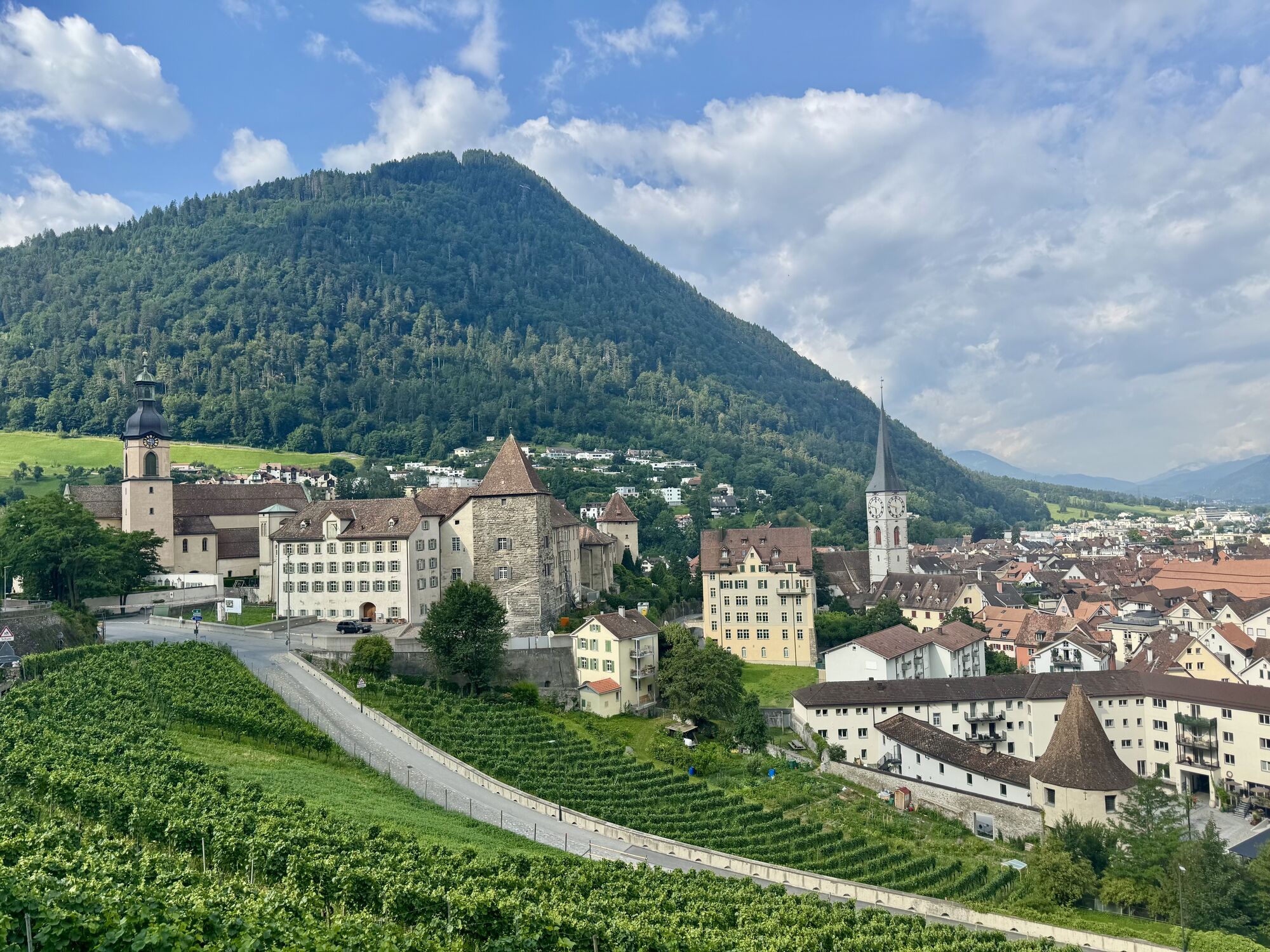
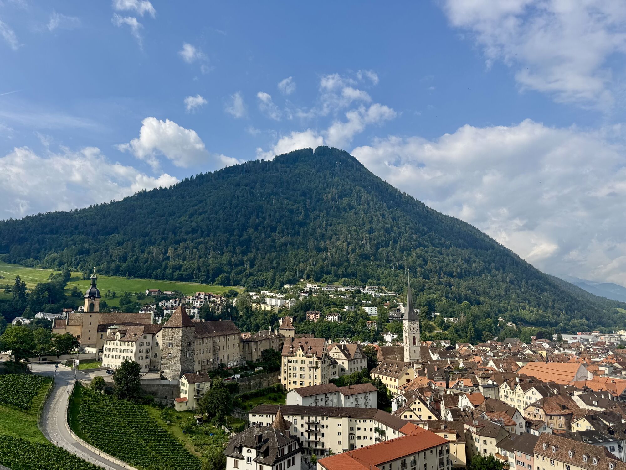
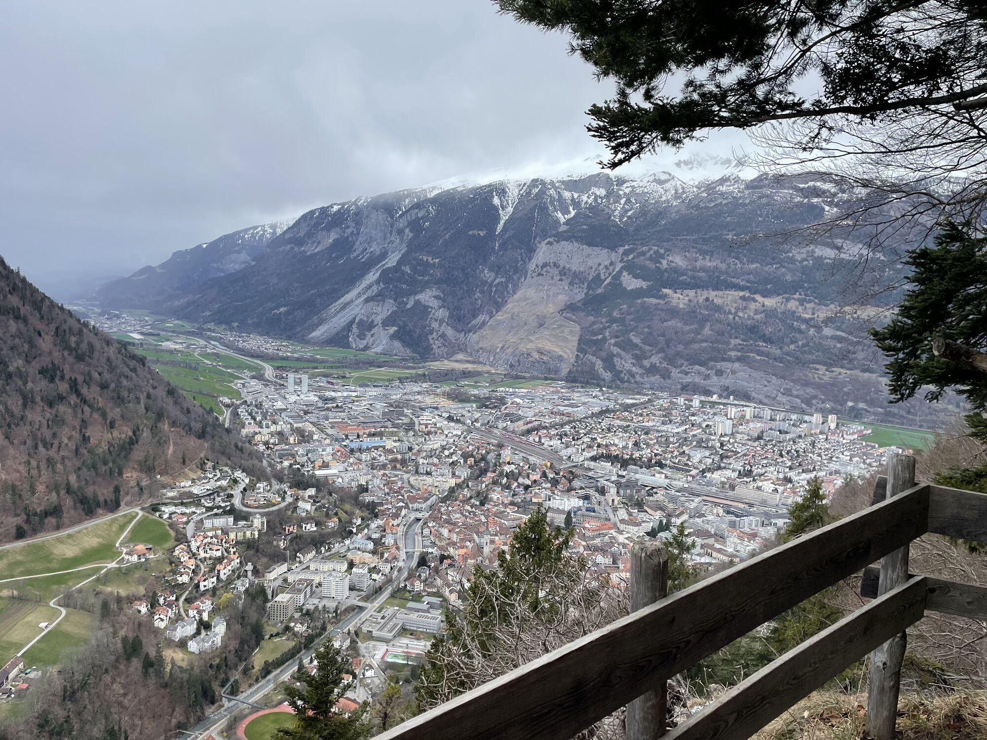
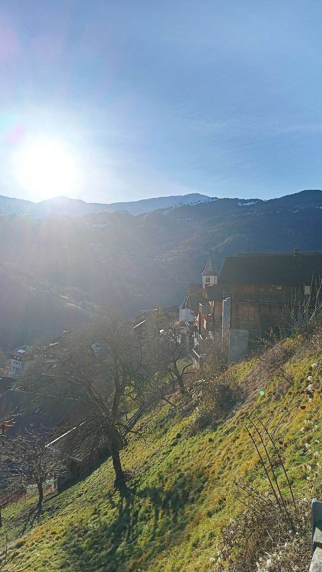
Hochwang -Triemel - Bargun - Lafet - Hütten - Balnettis - Stroggwald - Maiensäss - Maladers - Chur
Good footwear, rain jacket, possibly hiking poles, enough to drink, snack to eat.
In rain and especially thunderstorms, the ravines must be crossed with increased caution.
Basically, in bad weather it is important to carefully consider whether to hike the route, as it is not without danger.
By car to Chur and then by public transport to Hochwang.
By train to St. Peter via Chur and from there by the nostalgic post bus to the Hochwang hut.
Various car parks in Chur.
T2
The paths are rather narrow, and it is important that hikers are sure-footed. These paths are marked as mountain hiking trails and the conditions are therefore indicated for “mountain-capable hikers” as opposed to hiking trails without special requirements.
Refreshments on the way: Triemel / Restaurant in Maladers / Besenbeizli Calfreisen
Overnight accommodation: Various accommodations in Chur
Very motivated and athletic hikers take the detour via the Montalin (the local mountain of Chur)
Oblíbené prohlídky v okolí
-
4.8
Pizalun circular route
světloTuristika 7.18 km -
3.9
Arosa-Medergen-Tritt-Latschüelfurgga-Strelapass-Davos
středníTuristika 22.5 km -
Arosa-Schwellisee-Älplisee-Parpaner Rothorn
Turistika 12.3 km -
4.5
Drachenloch
heavyTuristika 9.72 km -
4.7
Arosa-Hörnli-Parpaner Rothorn-Lenzerheide
Turistika 11.9 km -
5.0
Arosa-Hörnli-Urdenfürrgli-Alp Scharmoin-Lenzerheide
středníTuristika 15.3 km -
5.0
Eichhörnliweg Arosa
světloTematická stezka 1.72 km -
5.0
Arosa-Erzhornsattel-Arosa
Turistika 14.9 km -
Haldensteiner Calanda
heavyTuristika 16.9 km -
2.0
Arosa-Furclettapass-Alvaneu
Turistika 21.8 km

Pěší turistika a stopování


Nenechte si ujít nabídky a inspiraci pro vaši příští dovolenou
Vaše e-mailová adresa byl přidán do poštovního seznamu.