


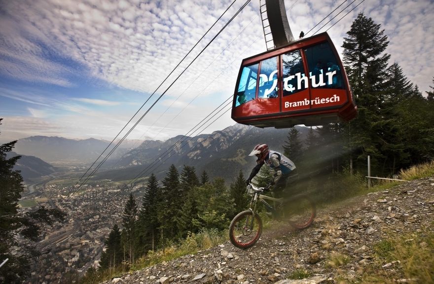
Alpenbikepark Chur
2'000 meters pure Gravity
The "Alpenbikepark Chur" is centrally located in the Eastern part of Switzerland and very good accessible (the cable car starts in the city of Chur). The height difference...
2'000 meters pure Gravity
The "Alpenbikepark Chur" is centrally located in the Eastern part of Switzerland and very good accessible (the cable car starts in the city of Chur). The height difference from the start of the freeride trails (1'595m) to the end (590m) is a massive 1'000 meters – this means very long gravity rides. The panorama from the mountainside to the city of Chur and the surrounding Rhine Valley is spectacular. And of course, it's very cool to finish off a ride within the historic and picturesque Old Town of Chur, that is completely traffic free (only accessible for pedestrians and cyclists).
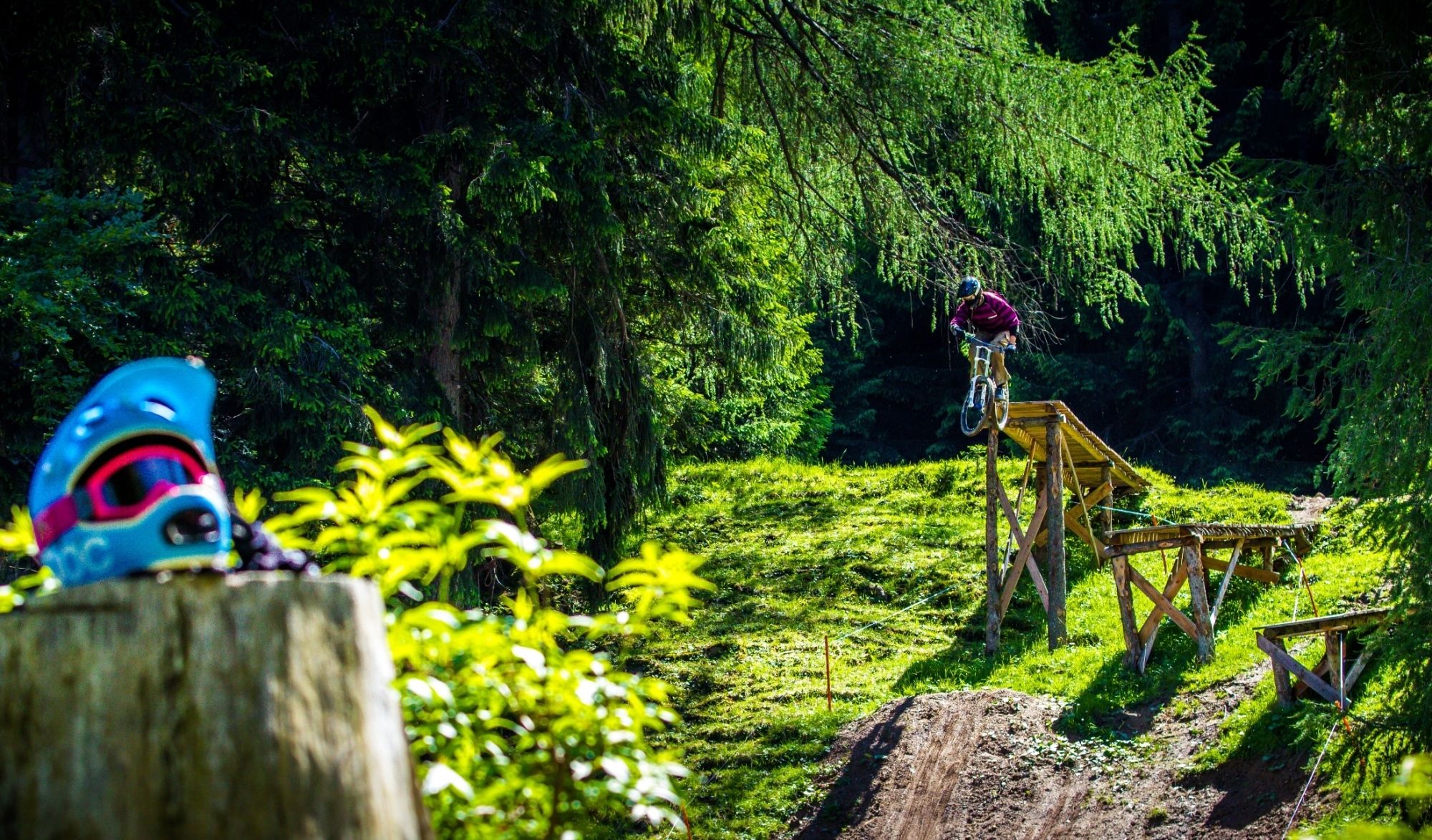
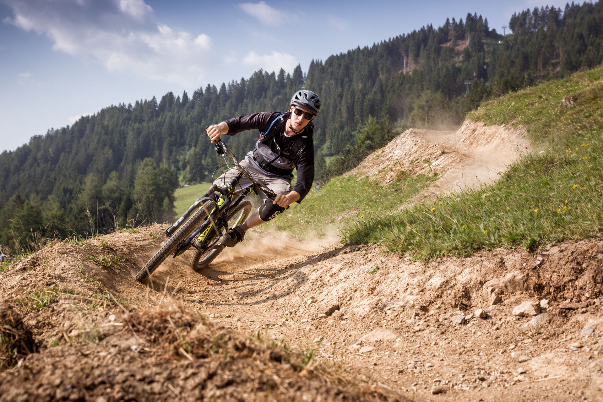
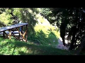
Four spectacular freeride trails
The freeride trails of the Alpenbikepark were used during the Swiss mountainbiking and downhill championships 2009. Since then, the trails, which are perfectly fitted into the natural surroundings, have become very popular. The freeride trails at the backyard mountain of Chur offer pure freeride action. The four A-Lines „Schwarzwald Nr. 264“, „Fülian Nr. 266“, „Pizoggel Nr. 265“ und „Städeli Nr. 267“ are well signposted and separated from the hiking trails. The 15 meter wide corridors feature jumps, northshores, drops, wall rides and other obstacles.
Ano
Ano
Ano

Ano
Ano
Ano
Oblíbené prohlídky v okolí
-
4.8
Pizalun circular route
světloTuristika 7.18 km -
4.7
Mountain hike to the Strudeltöpfe on Alp Mora: Bargis-Trin
heavyTuristika 18 km -
Arosa-Schwellisee-Älplisee-Parpaner Rothorn
Turistika 12.3 km -
4.5
Drachenloch
heavyTuristika 9.72 km -
4.7
Arosa-Hörnli-Parpaner Rothorn-Lenzerheide
Turistika 11.9 km -
5.0
Arosa-Hörnli-Urdenfürrgli-Alp Scharmoin-Lenzerheide
středníTuristika 15.3 km -
5.0
Eichhörnliweg Arosa
světloTematická stezka 1.72 km -
3.0
From Vättis to the Walser settlement St. Martin
středníTuristika 8.03 km -
5.0
Arosa-Erzhornsattel-Arosa
Turistika 14.9 km -
Haldensteiner Calanda
heavyTuristika 16.9 km
Pěší turistika a stopování


Nenechte si ujít nabídky a inspiraci pro vaši příští dovolenou
Vaše e-mailová adresa byl přidán do poštovního seznamu.