





Nature Trail: Nature and Water
Úroveň obtížnosti: T1
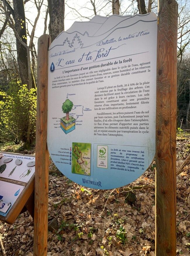
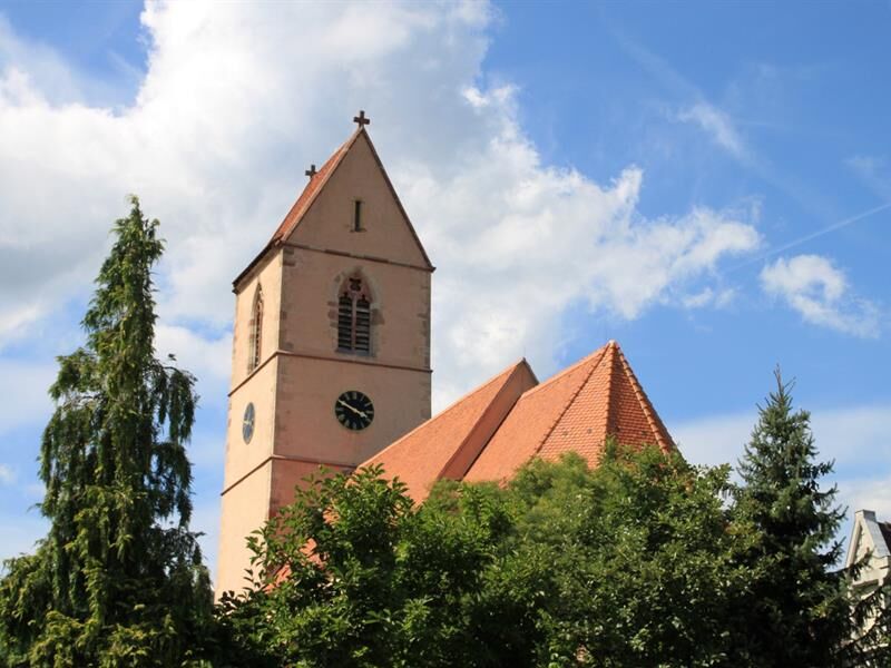
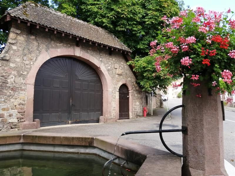
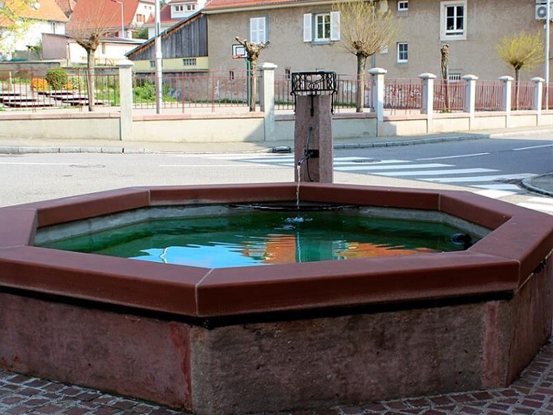
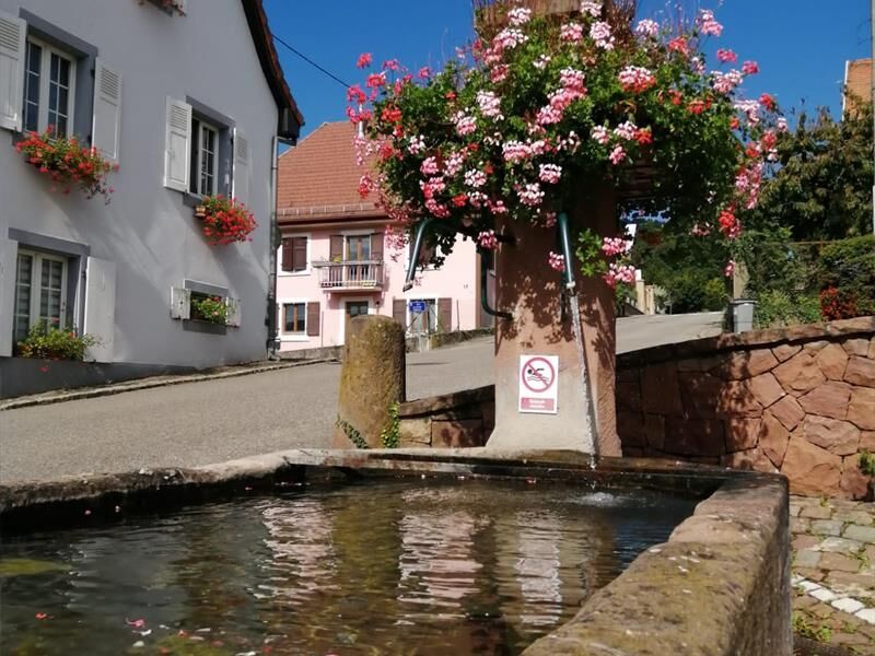
This nature trail was designed around several themes that highlight the harmony between nature and human efforts to preserve the exceptional environment found in Wattwiller. It’s a fun walk to take with...
This nature trail was designed around several themes that highlight the harmony between nature and human efforts to preserve the exceptional environment found in Wattwiller. It’s a fun walk to take with your children—just download the games before you set out!

Description
Ano
Sturdy, comfortable shoes; weather-appropriate clothing using the layering principle; sun and rain protection; food and drinking water; a first-aid kit; a cell phone; and maps.
In case of an emergency
Alert authorities: Call 112 (European emergency number)
5 key points to include in your emergency call:
Where? Town, location, route, elevation
Who? Name, phone number
What? Type of accident, number of victims, severity, details of the fall
When? Time of the accident
Weather? Wind, visibility
Wattwiller
www.fluo.eu
Free on-site parking
T1
1 rue Latouche
68700 Cernay
Tel: 03 89 75 50 35
info@tourisme-thann-cernay.fr
www.tourisme-thann-cernay.fr
Oblíbené prohlídky v okolí
-
Grand Ballon route in 3 days
heavydálková pěší trasa 54.2 km -
4.0
Boucle du Grand Ballon de Goldbach-Altenbach, France
středníTuristika 14.7 km -
5.0
Visit of the Hartmannswillerkopf battlefield
světloTuristika 5.45 km -
The Thannerhubel at Bourbach-le-Haut
středníTuristika 7.32 km -
Crossing of the Vosges Massif - Stage 16 - Le Markstein - Thann
heavydálková pěší trasa 28.0 km -
Haag Farm-Inn walk "Between the shade of the beech woods and the light of the high pastures"
středníTuristika 5.83 km -
Farm-Auberge Grand Ballon walk "Under the highest peak of the Vosges"
světloTuristika 5.16 km -
Hilsen Farm Inn route - a panorama on the Grand Ballon
středníTuristika 5.47 km -
Wine trail of the Coteaux du vieil-Armand in Uffholtz
středníTuristika 5.60 km -
Glashütte Farm-Inn Walk - Walk in the Belchenwald forest
středníTuristika 4.71 km
Pěší turistika a stopování


Nenechte si ujít nabídky a inspiraci pro vaši příští dovolenou
Vaše e-mailová adresa byl přidán do poštovního seznamu.





