







Visit of the Hartmannswillerkopf battlefield
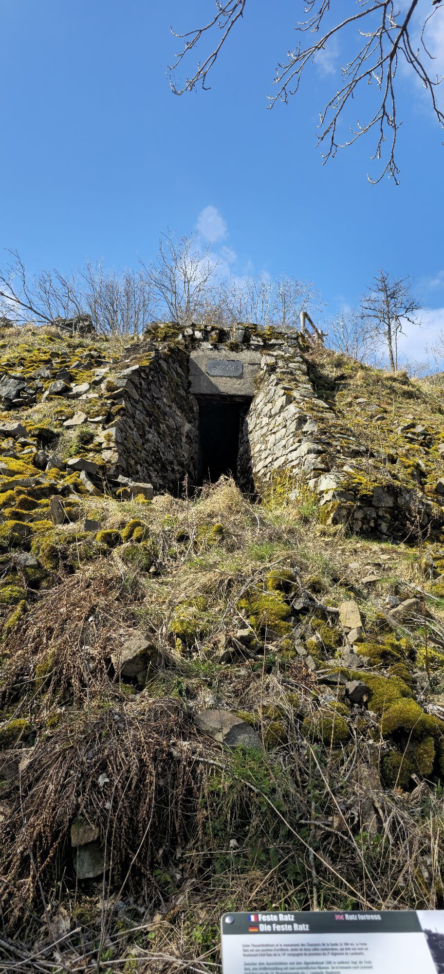
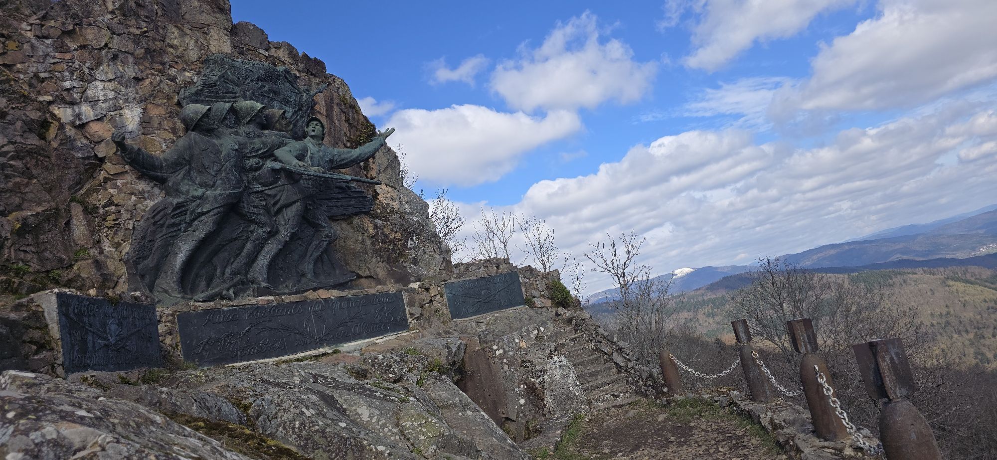
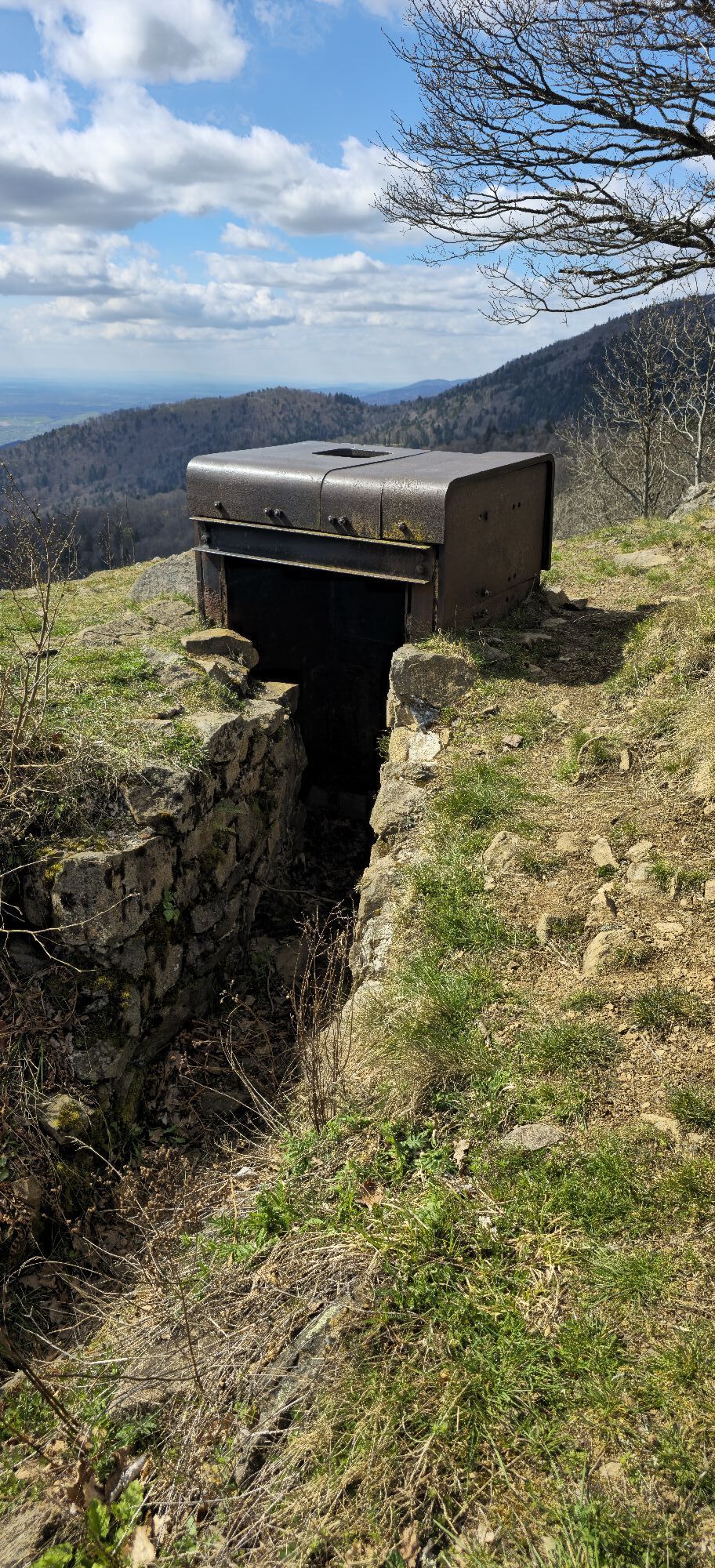
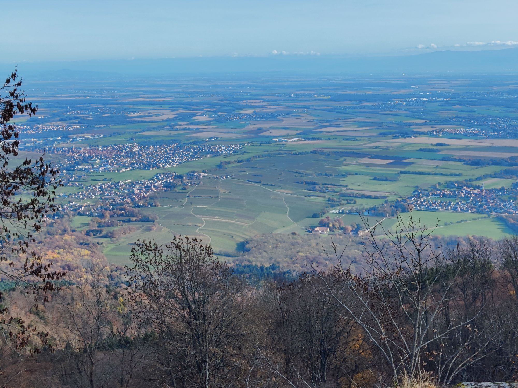
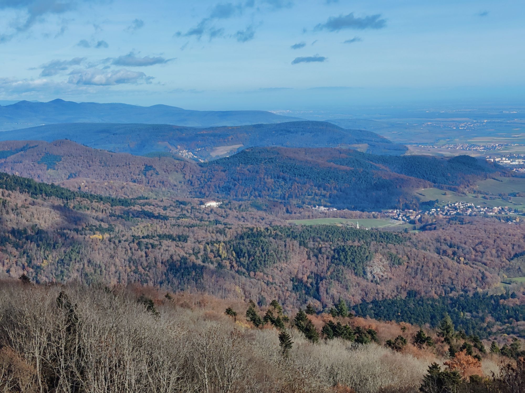
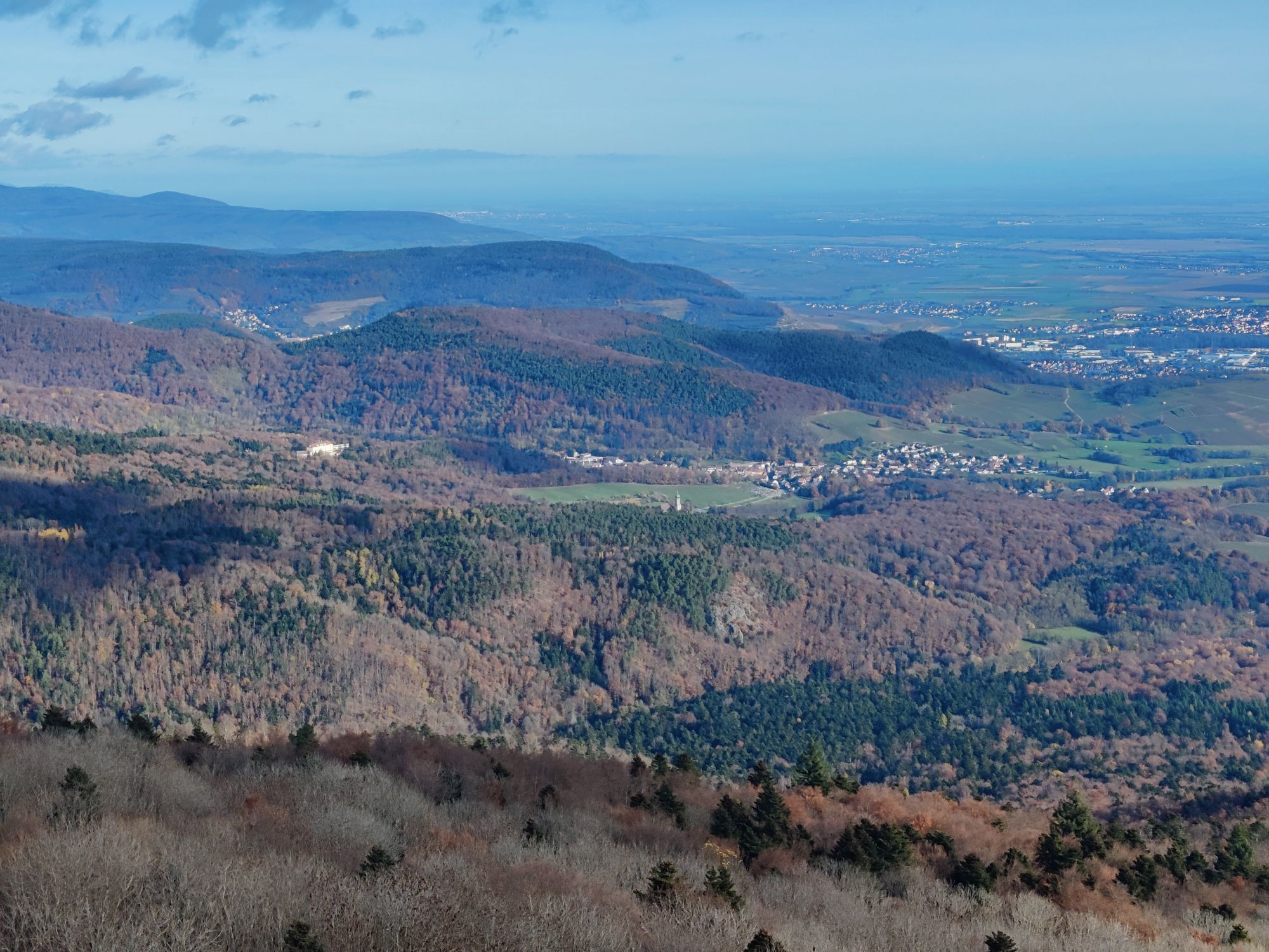
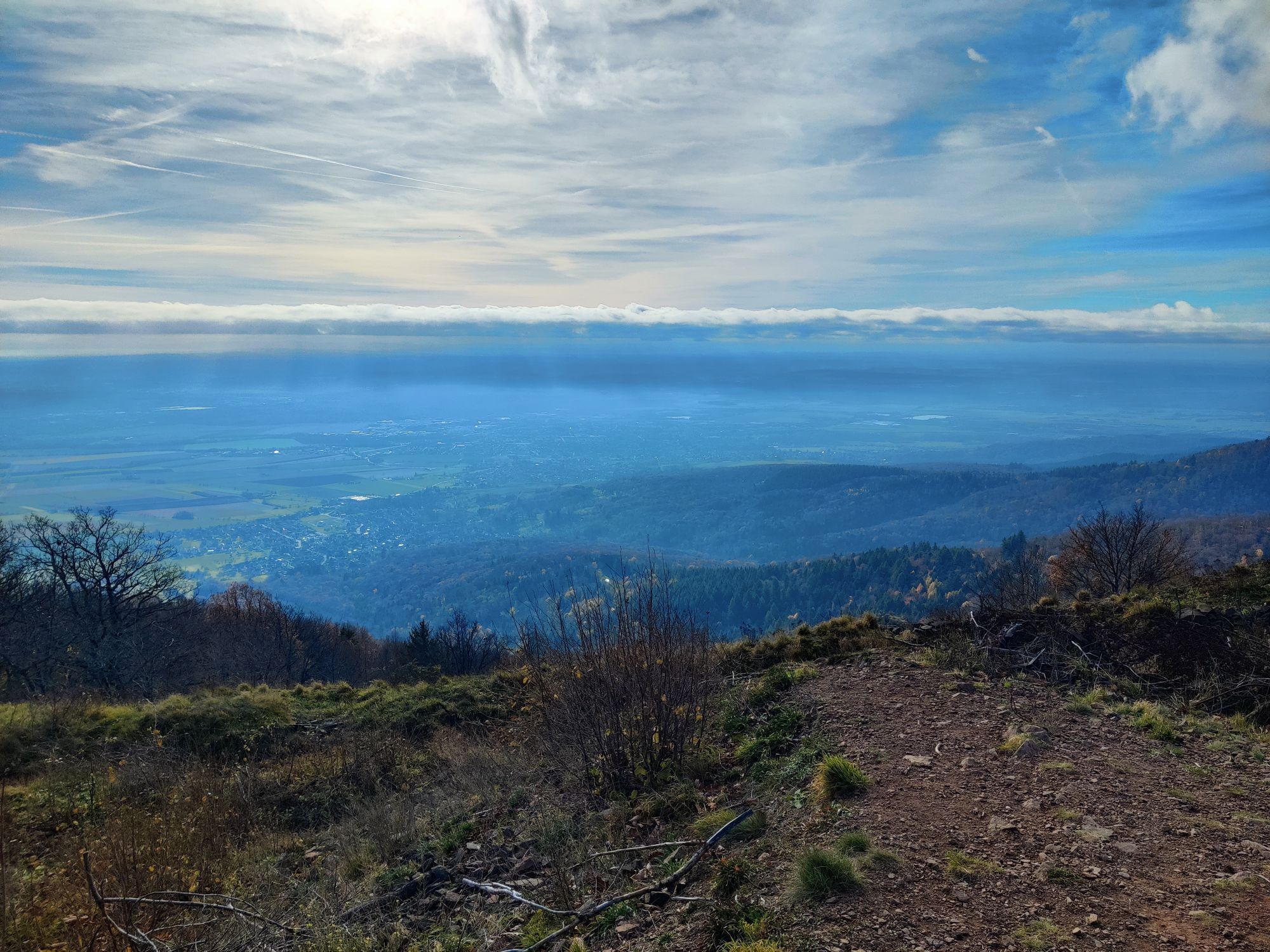
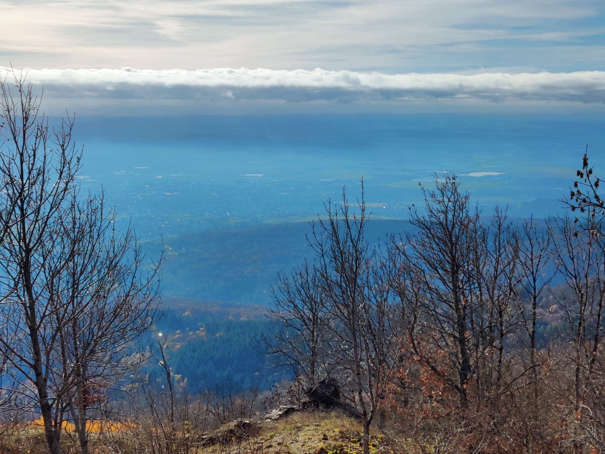
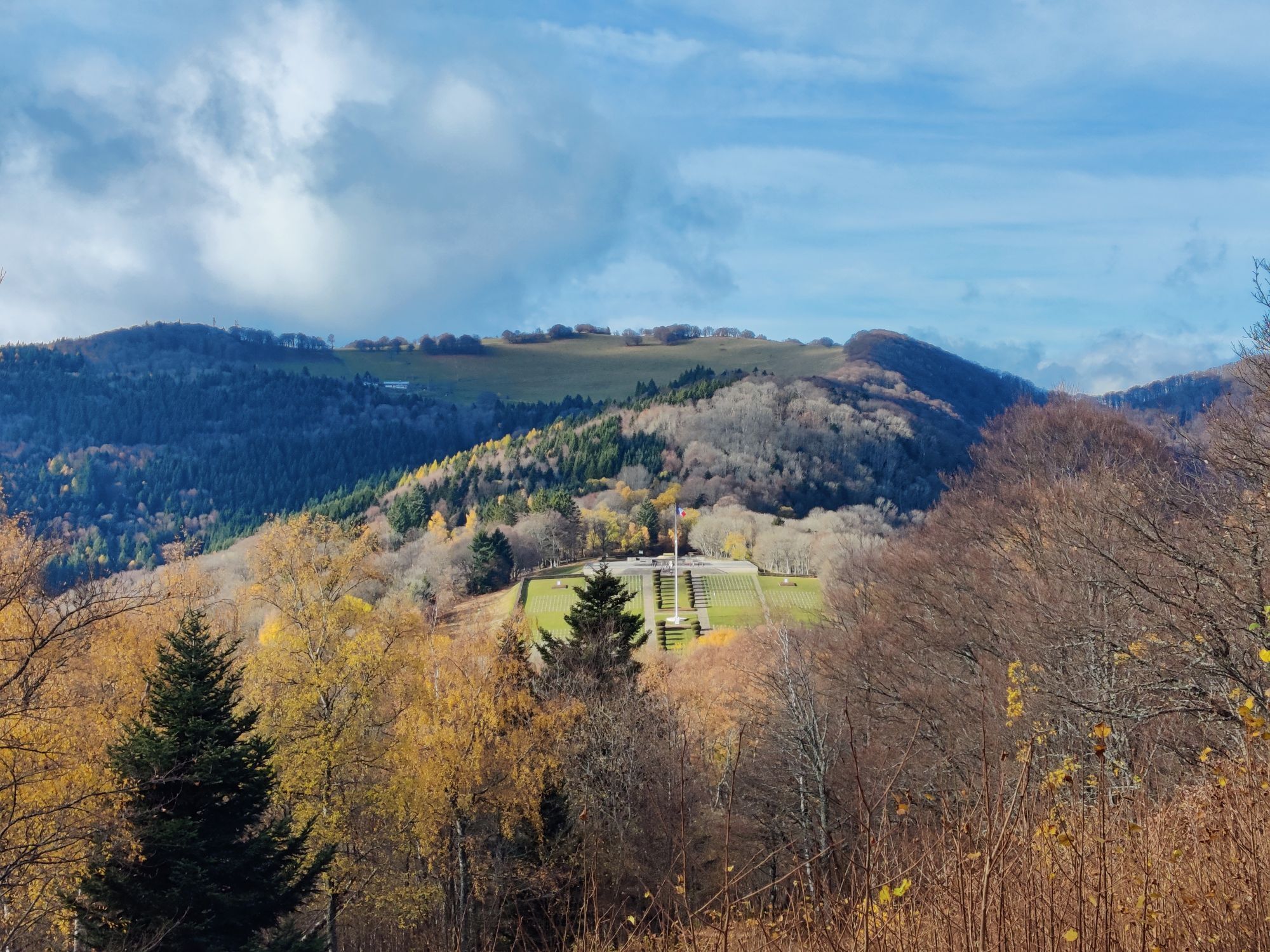
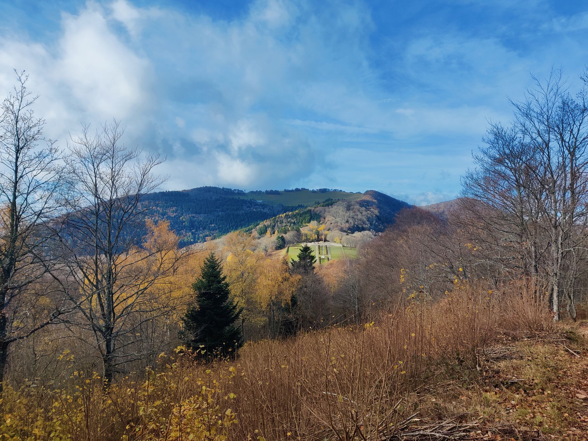
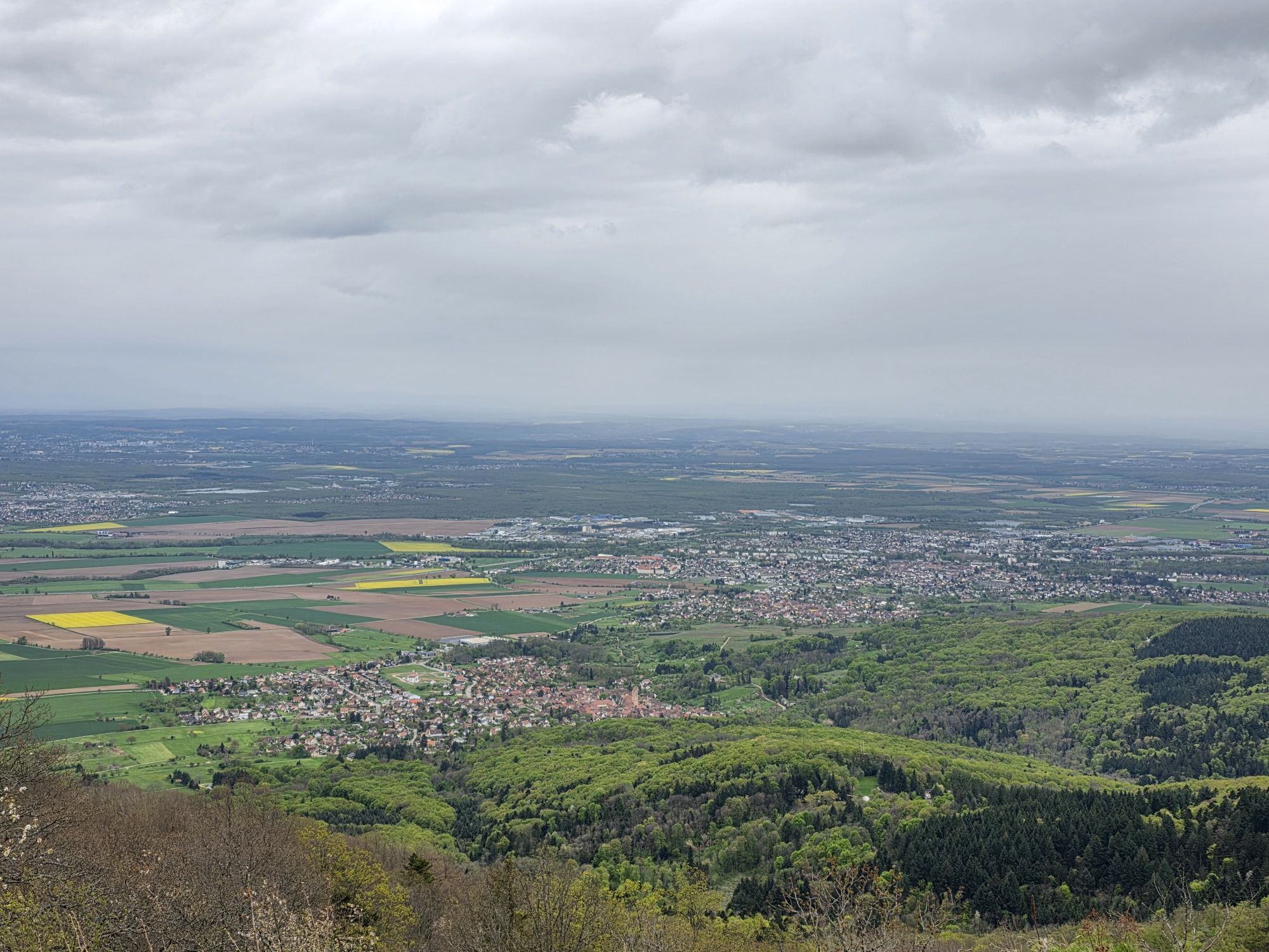
Walk through the maze of French and German trenches, cross the "No Man's Land" and the summit plateau, a contested area in the fight for possession of the HWK.
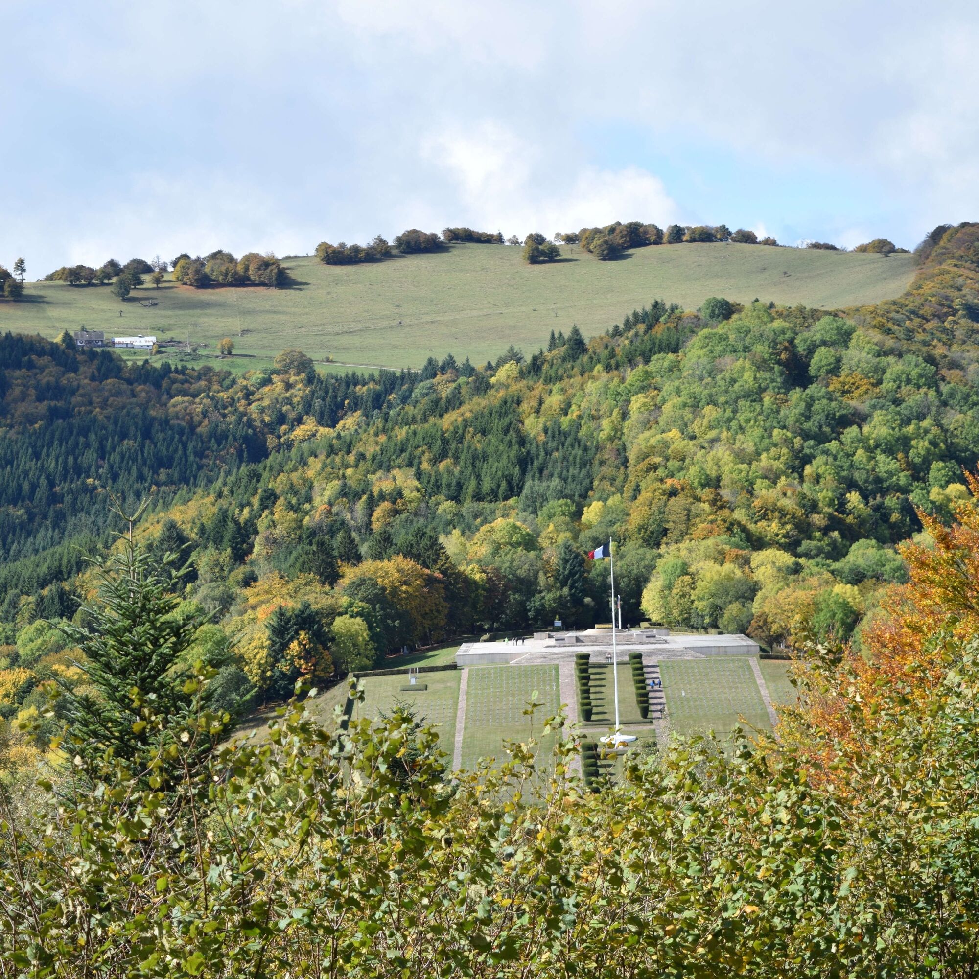
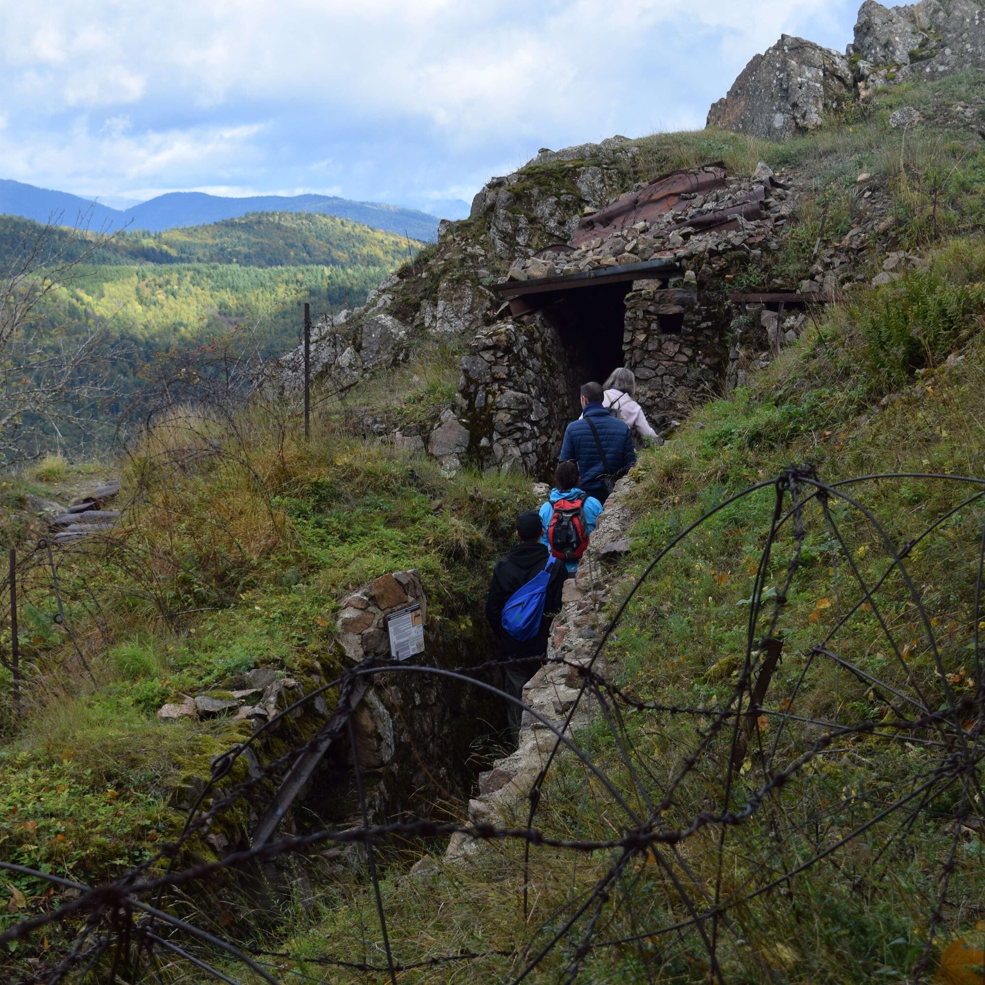

Ano
Recommended equipment
Clothing suitable for the season and conditions (cold, hot, humid…)
Hiking shoes adapted to the terrain (even for children!)
Telescopic poles (useful for stability and to relieve the joints)
Mobile phone and spare battery if needed
In case of problem
Call 112 (European emergency number)
5 key points to relay your alert:
Where? municipality, place, route, altitude
Who? identity, phone number
What? type of accident, number of victims, severity, fall dynamics
When? time of the accident
Weather? wind, visibility
Thann-Cernay Tourist Office
7 rue de la 1ère Armée
68800 Thann
Tel: 03 89 37 96 20 thann@hautes-vosges-alsace.fr


Oblíbené prohlídky v okolí
Grand Ballon route in 3 days
heavydálková pěší trasa 54.2 km- 4.0
Boucle du Grand Ballon de Goldbach-Altenbach, France
středníTuristika 14.7 km - 4.0
Farm-Inn Strohberg walk "From one valley to the other"
středníTuristika 4.85 km - 5.0
MTB Route M6: Attack on the Petit Ballon
heavyMountainbike 40.1 km Crossing of the Vosges Massif - Stage 17 - Thann - Ballon d'Alsace
heavydálková pěší trasa 27.8 kmThe Thannerhubel at Bourbach-le-Haut
středníTuristika 7.32 kmWalk Ferme-Auberge Buchwald "Listen to the bells ringing under the most beautiful beeches in the pasture"
středníTuristika 4.06 kmCrossing of the Vosges Massif - Stage 16 - Le Markstein - Thann
heavydálková pěší trasa 28.0 km- 5.0
Le Petit Ballon de Christel
středníTuristika 15.2 km Hilsen Farm Inn route - a panorama on the Grand Ballon
středníTuristika 5.47 km

Pěší turistika a stopování


Nenechte si ujít nabídky a inspiraci pro vaši příští dovolenou
Vaše e-mailová adresa byl přidán do poštovního seznamu.





