







ALL Tilman Krause press centre - Thannenkirch - Ribeauvillé
Úroveň obtížnosti: T2
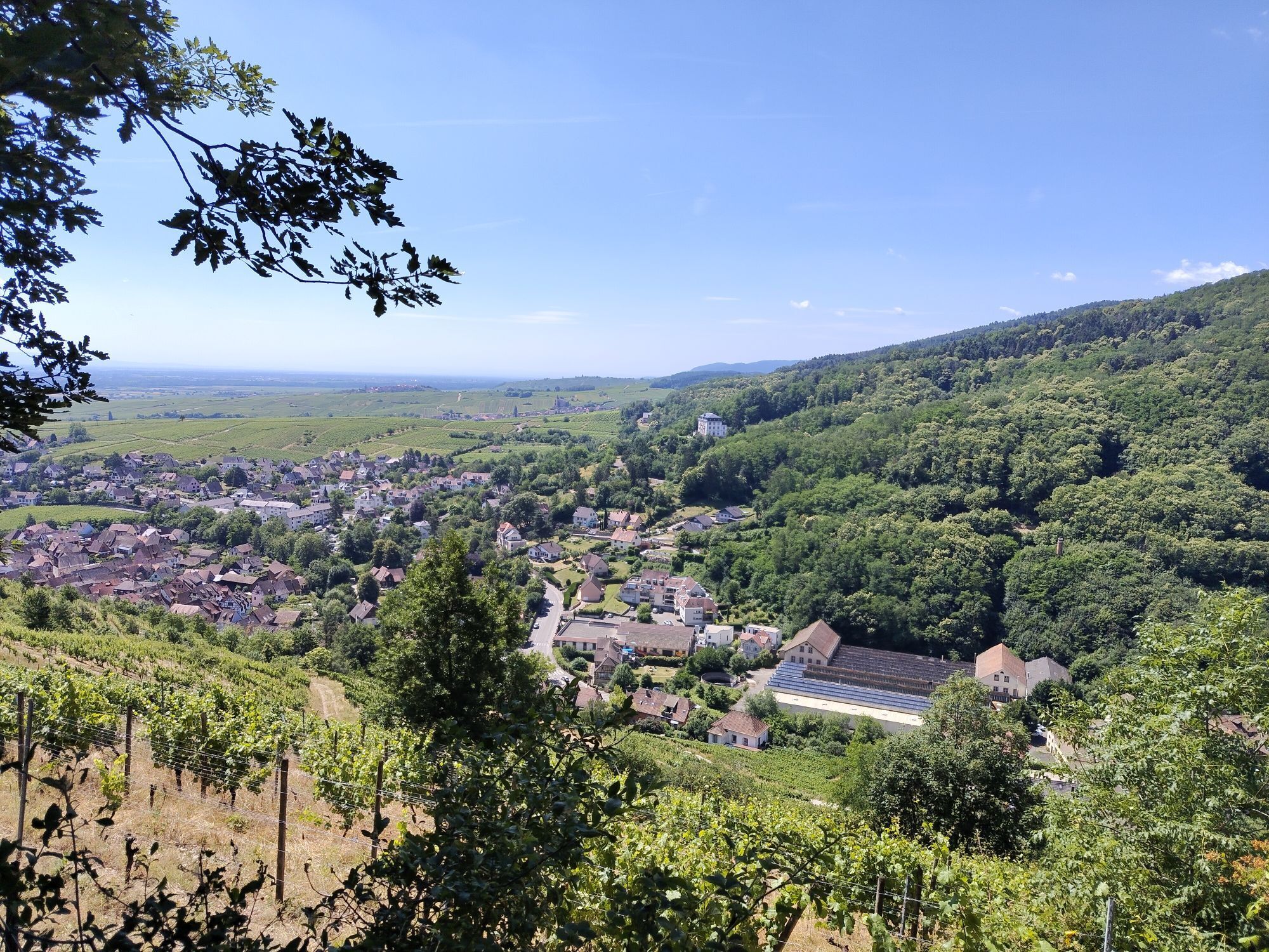
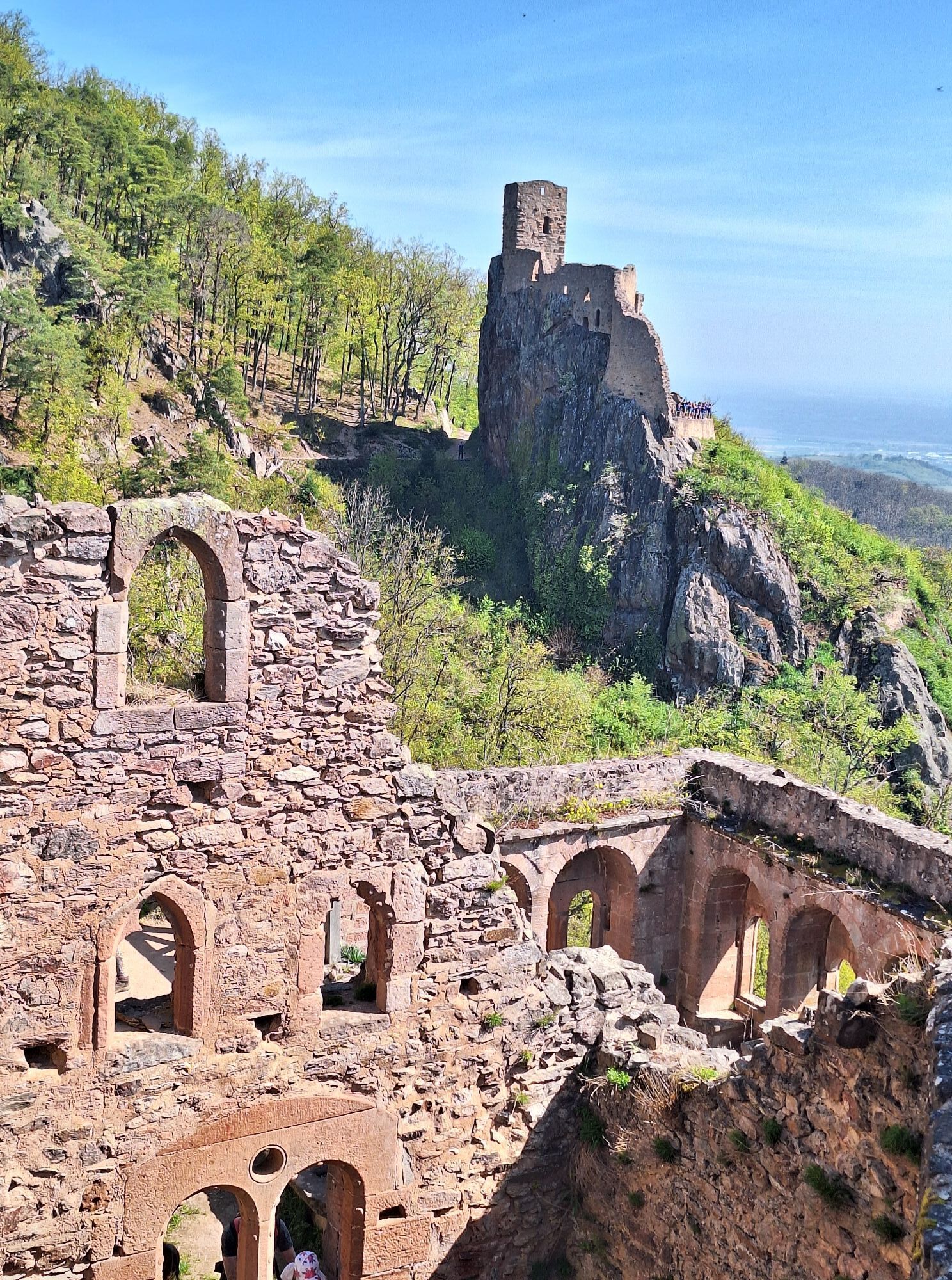
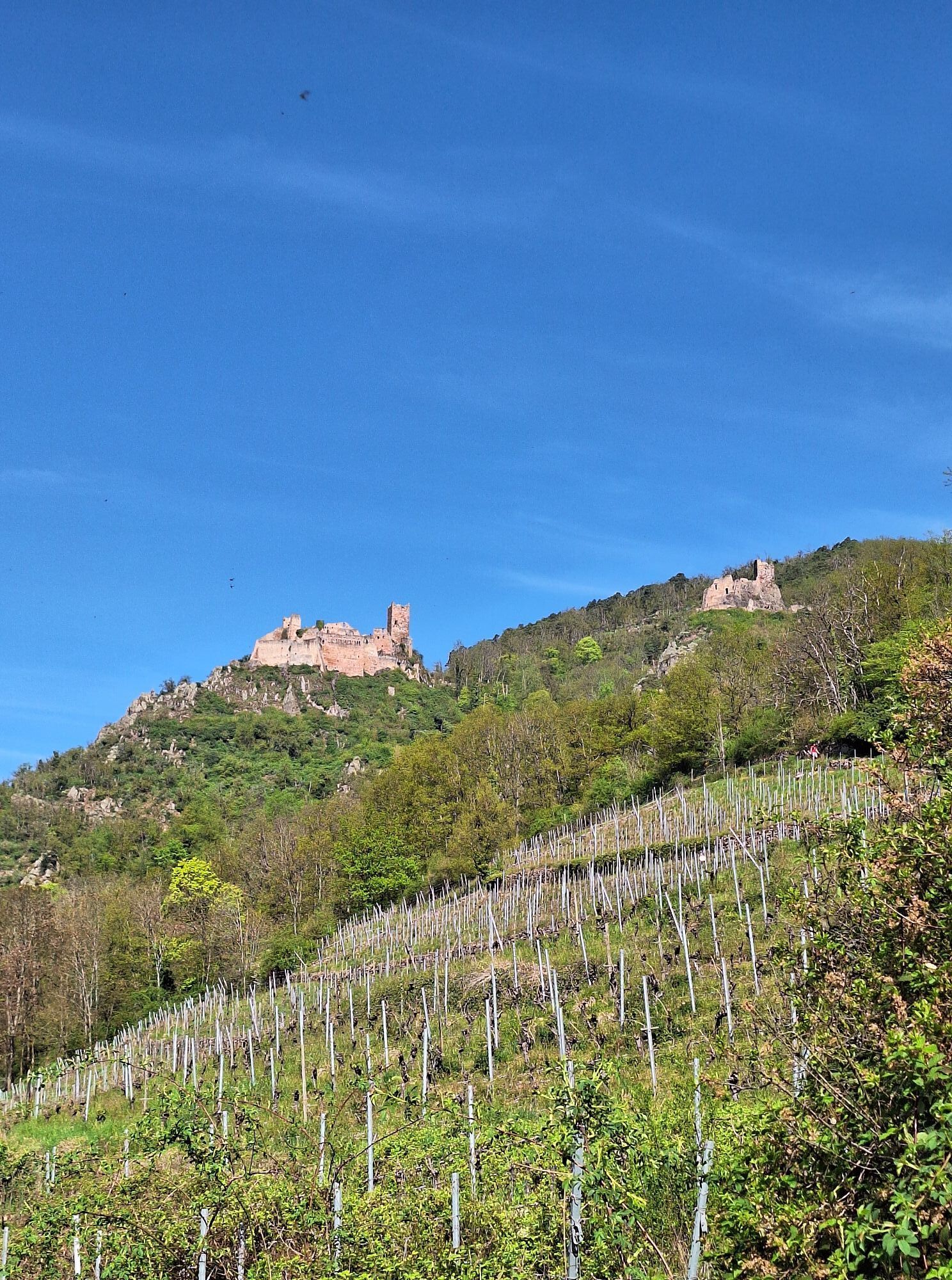
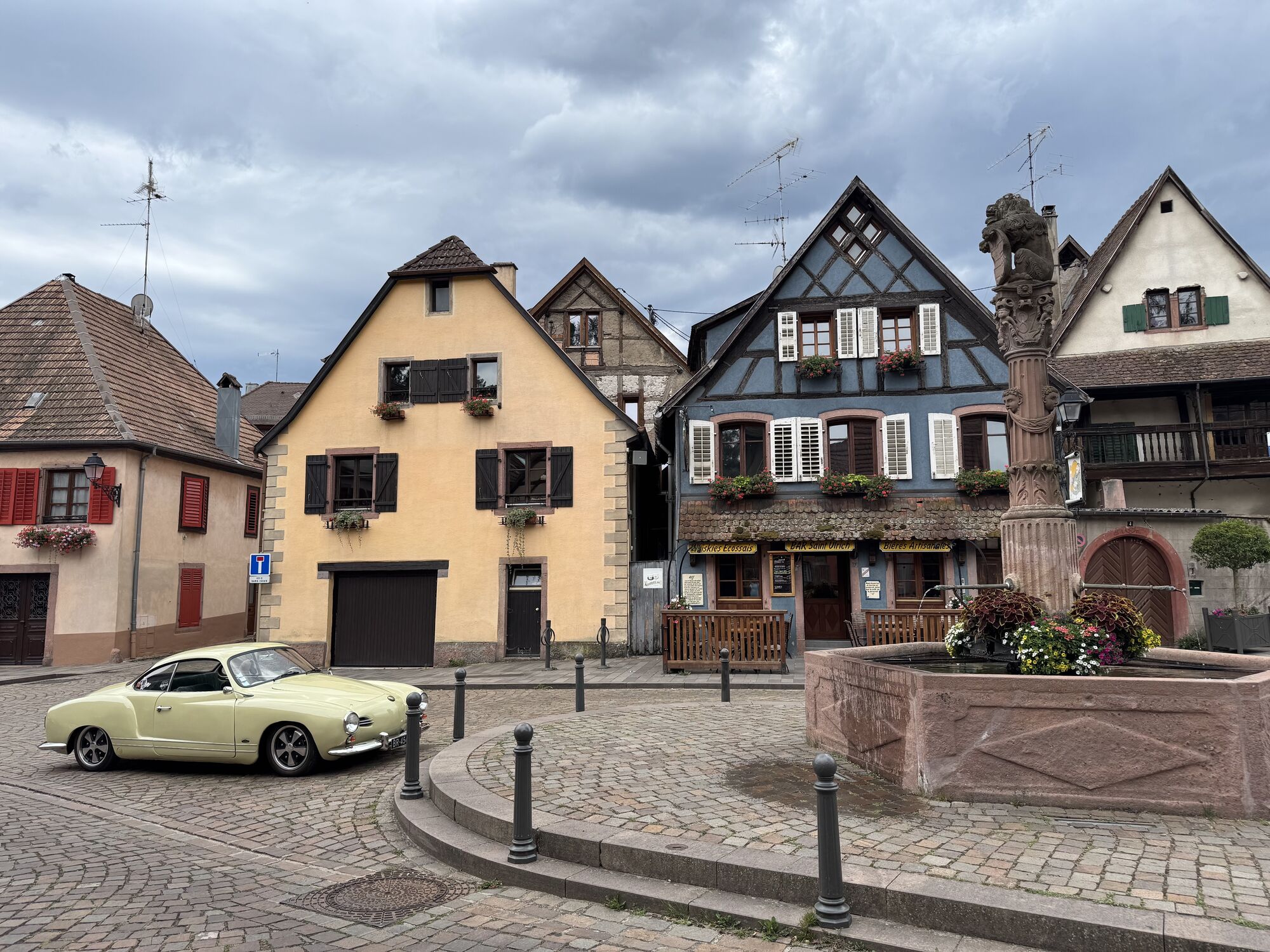
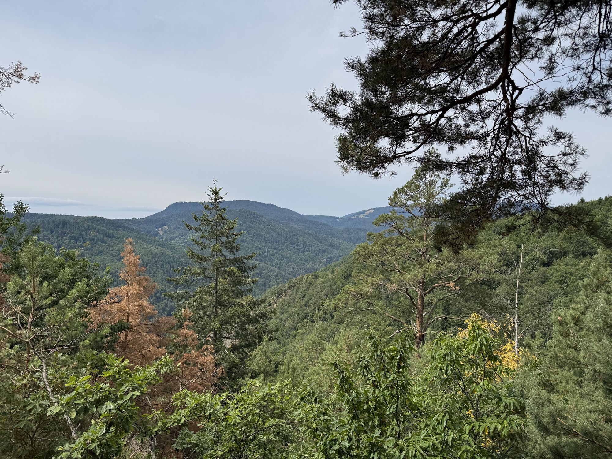
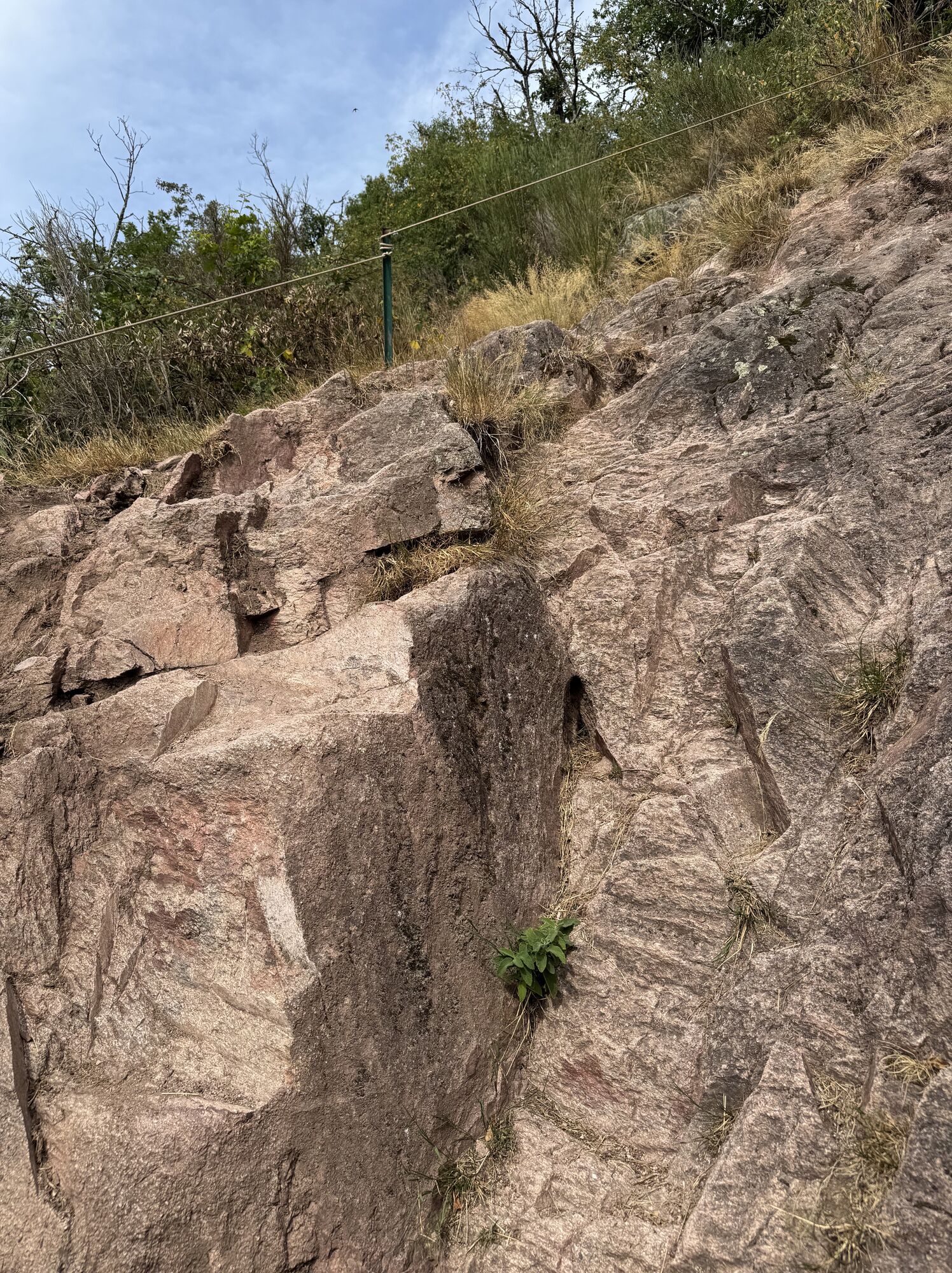
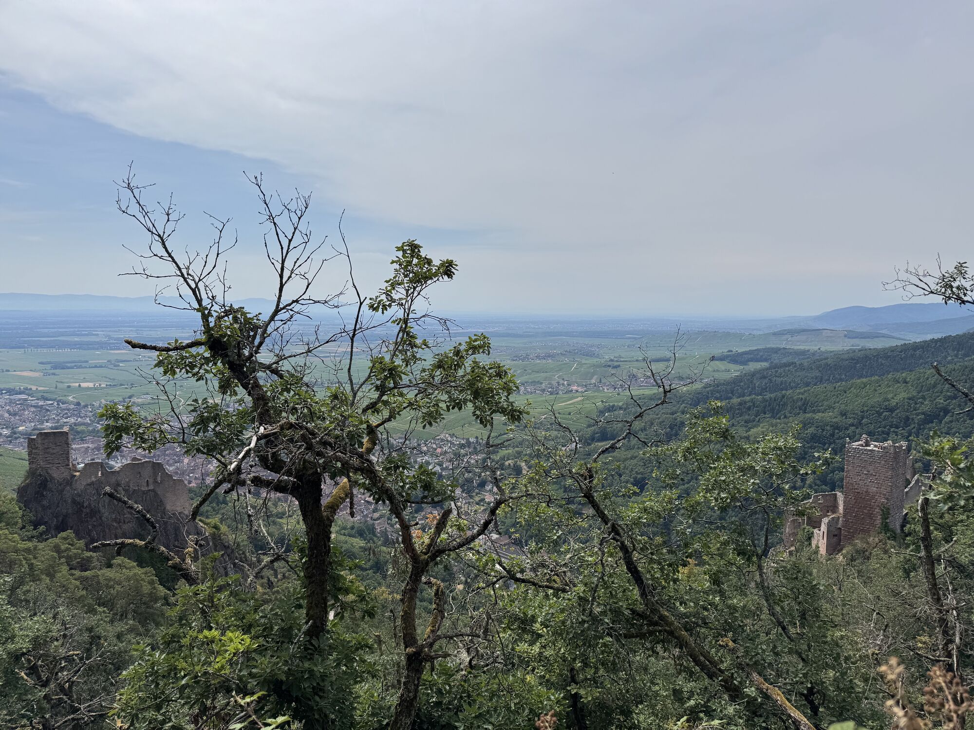
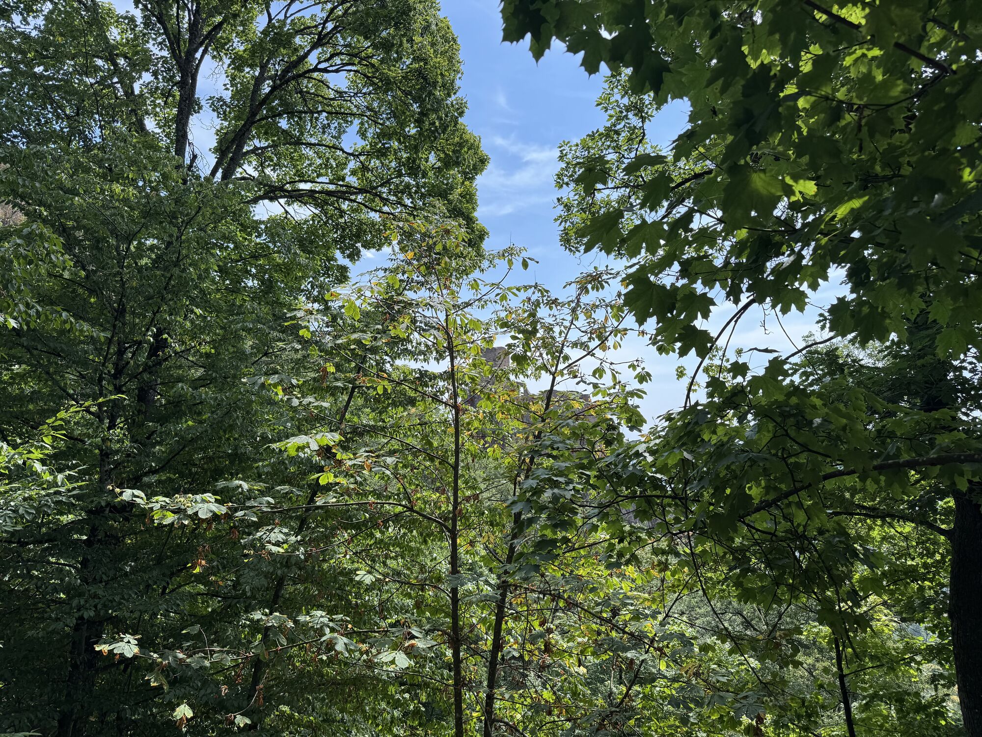
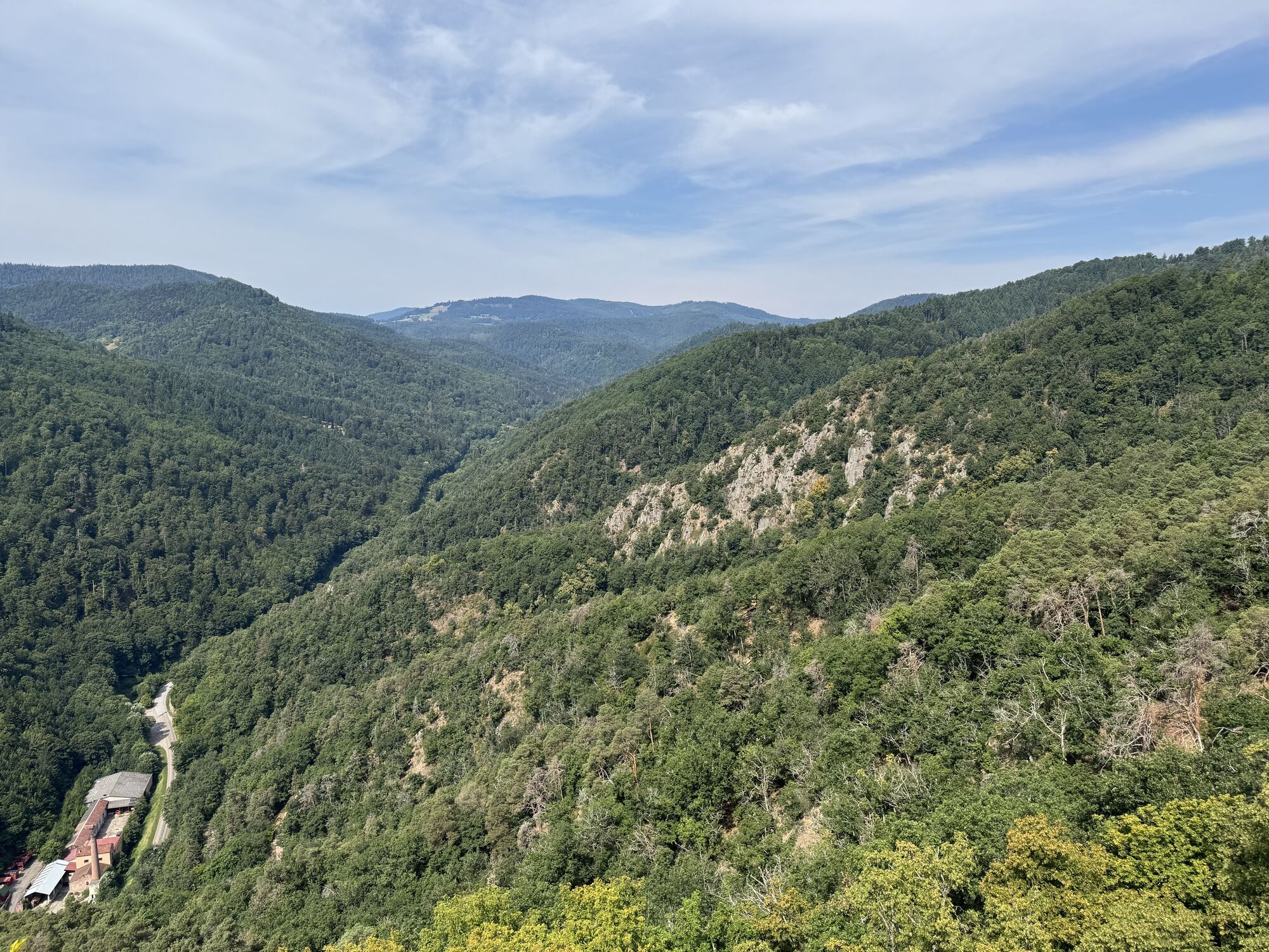
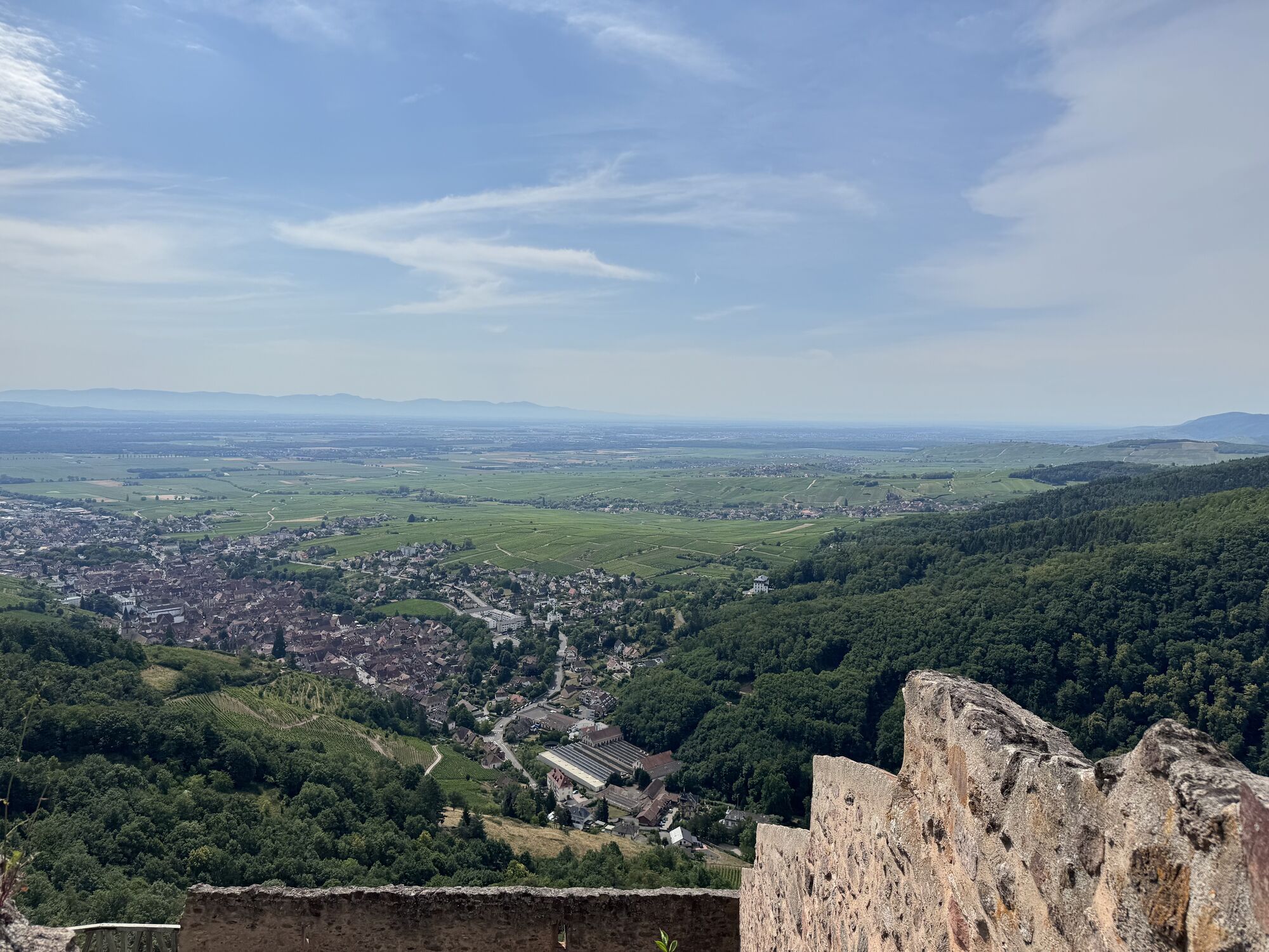
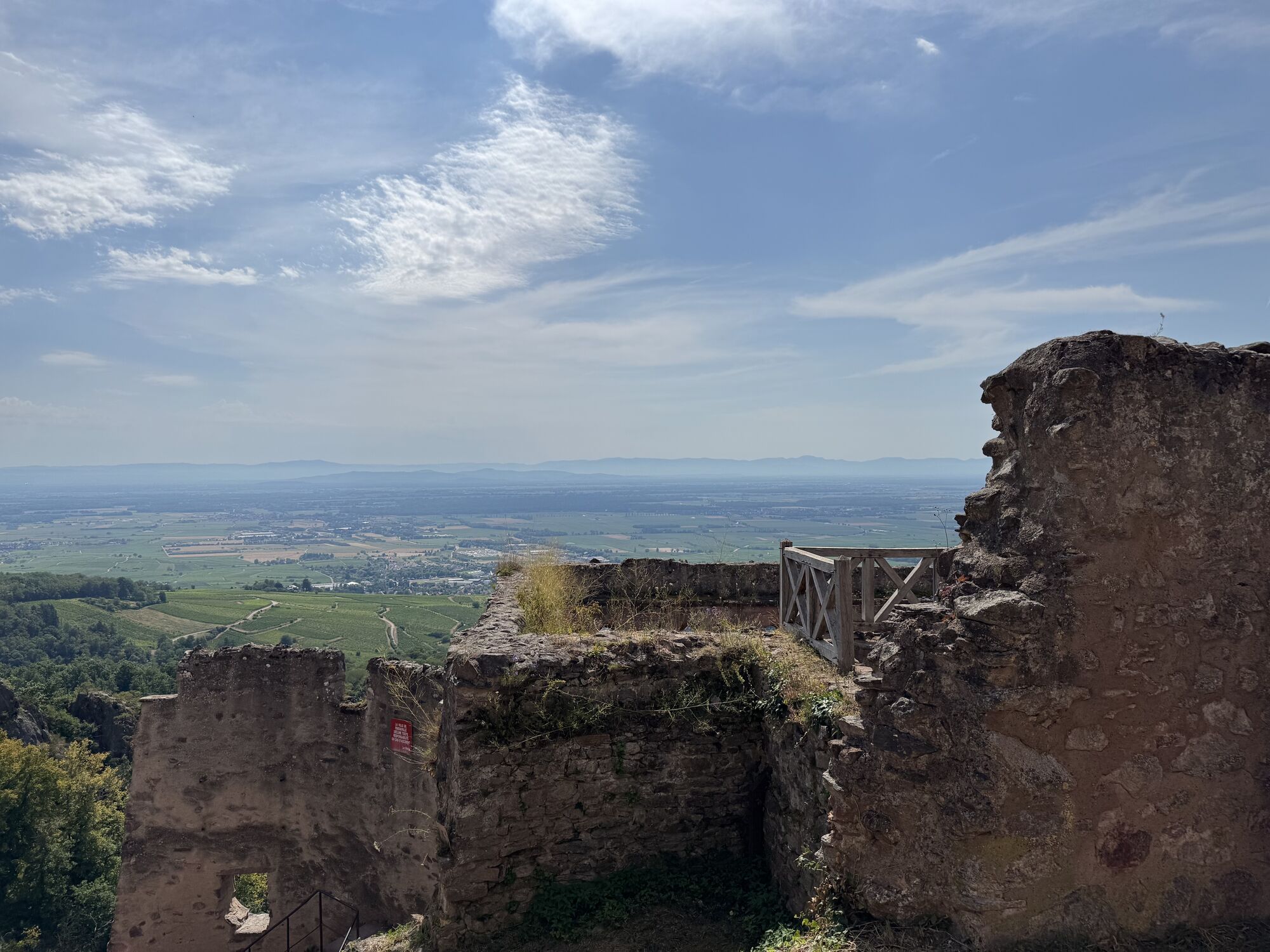
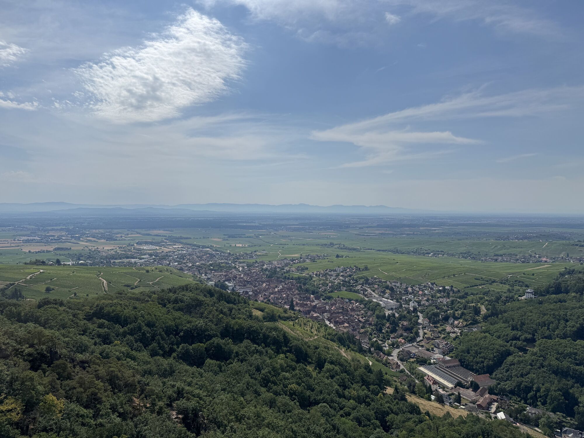

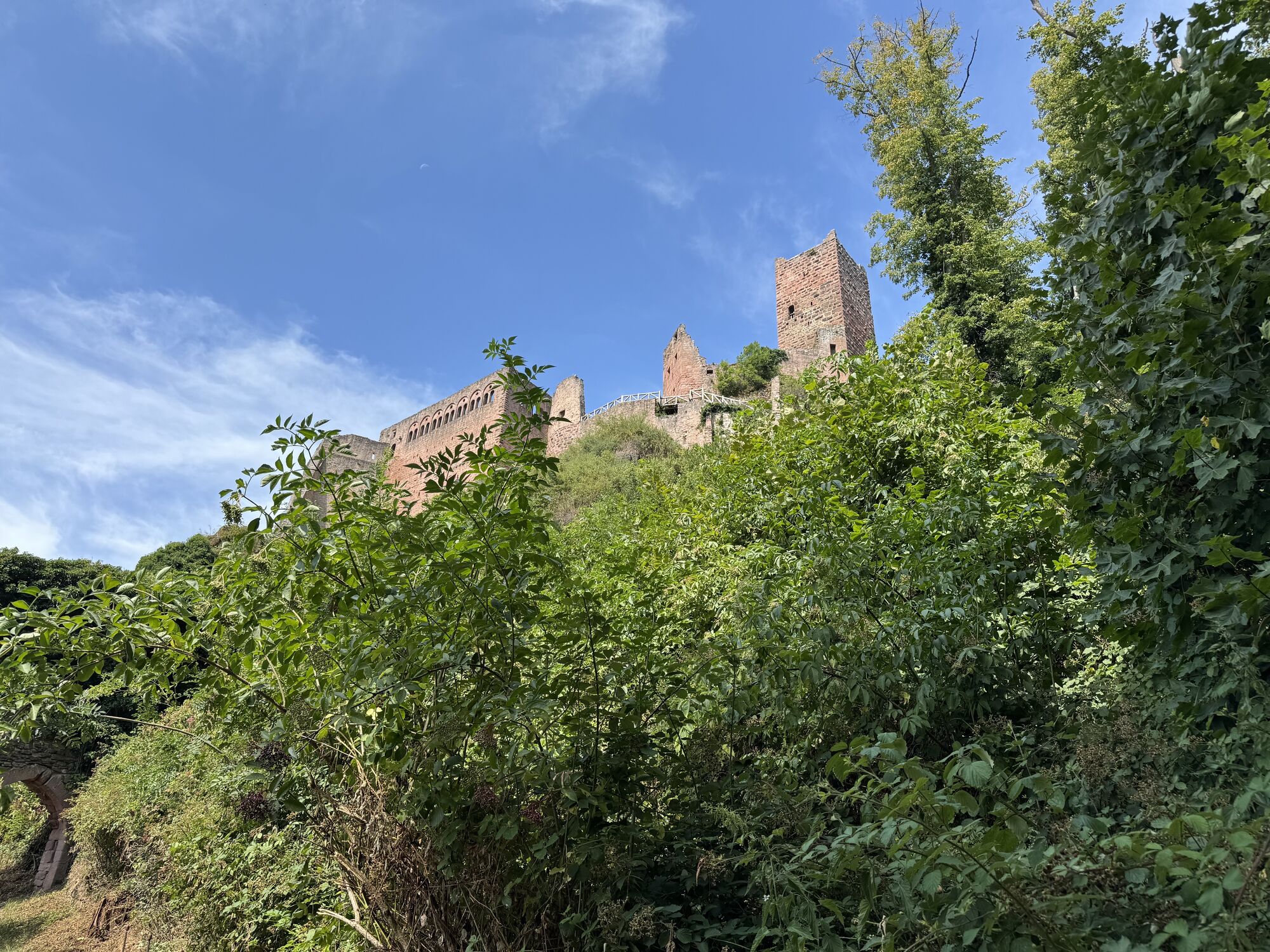
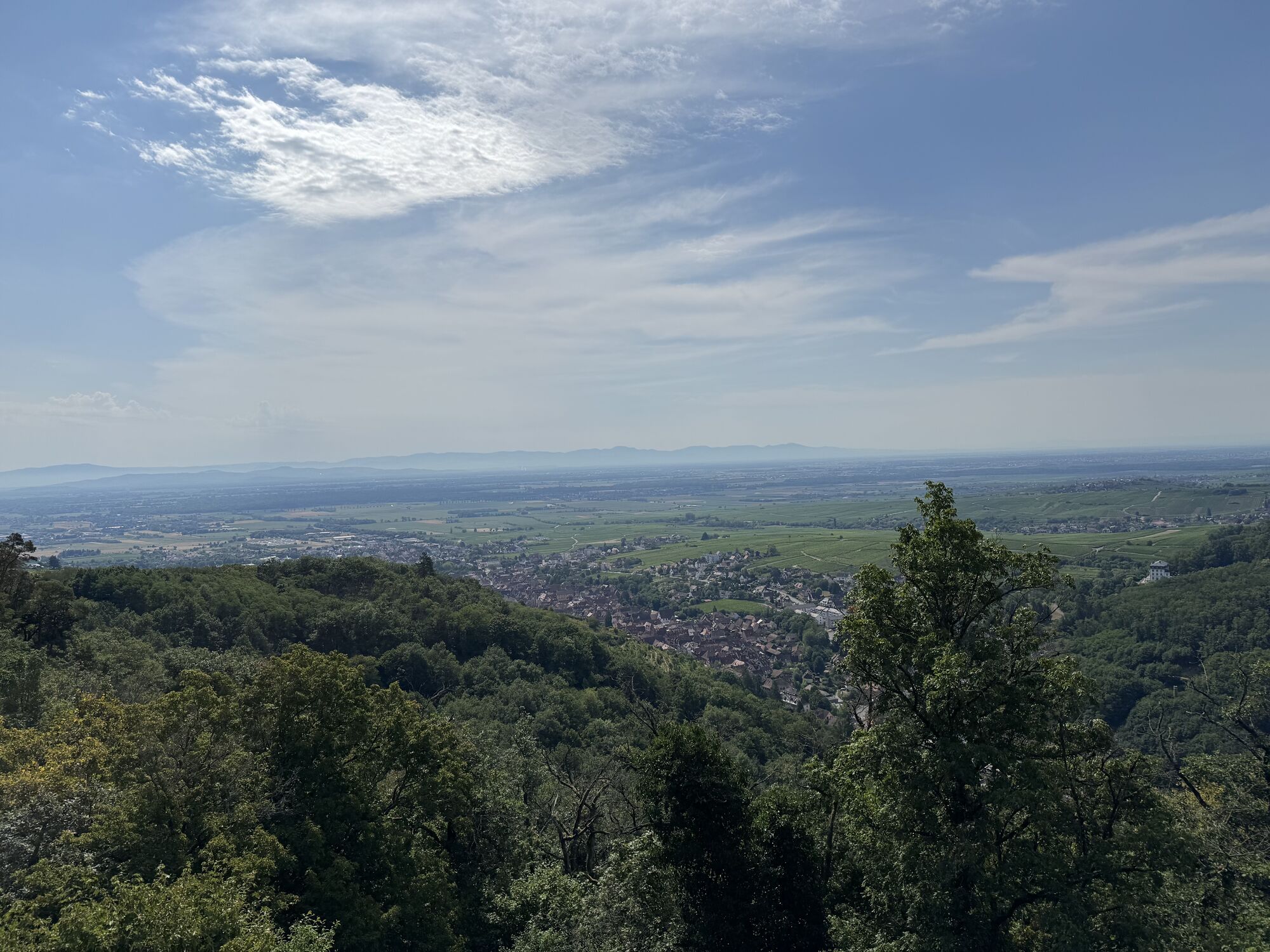
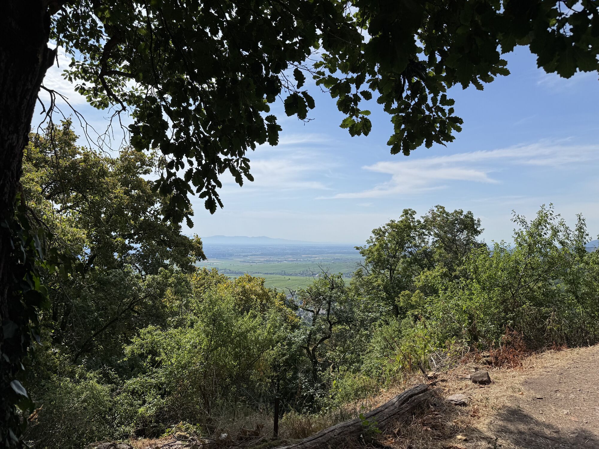
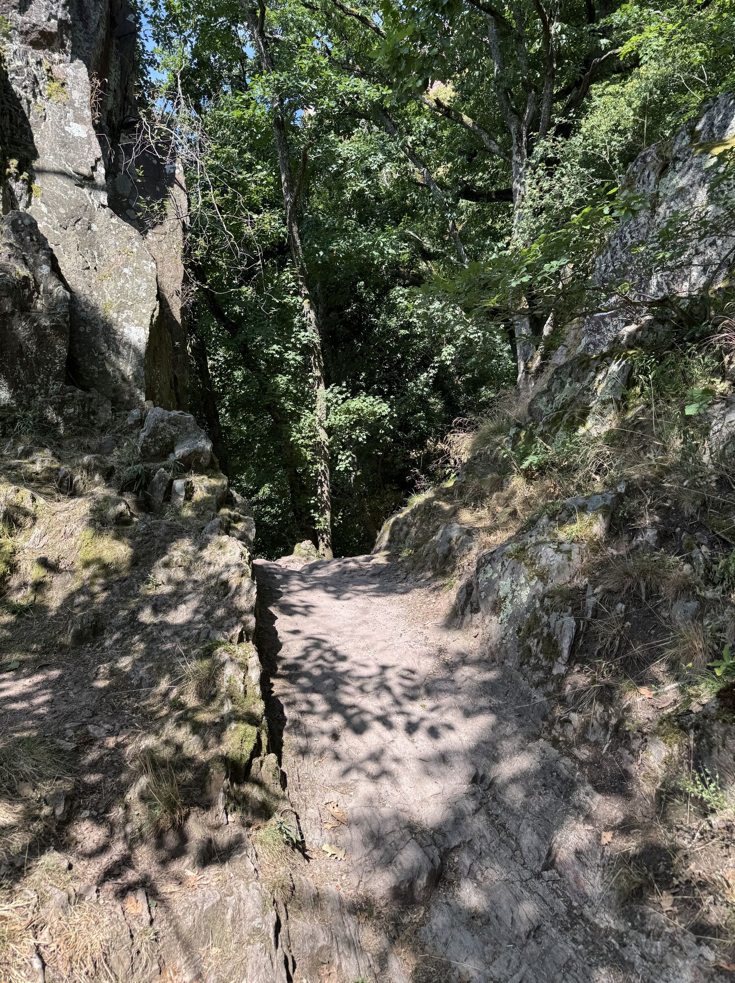
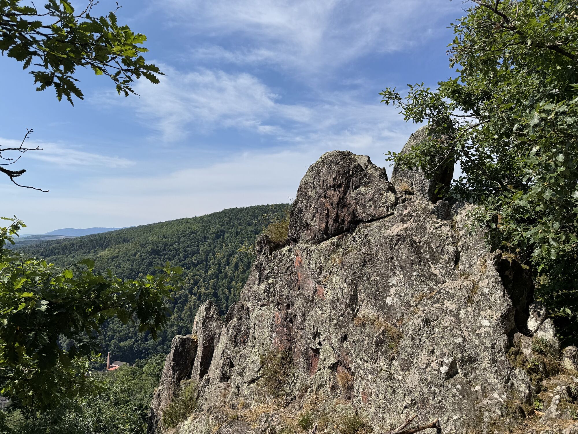
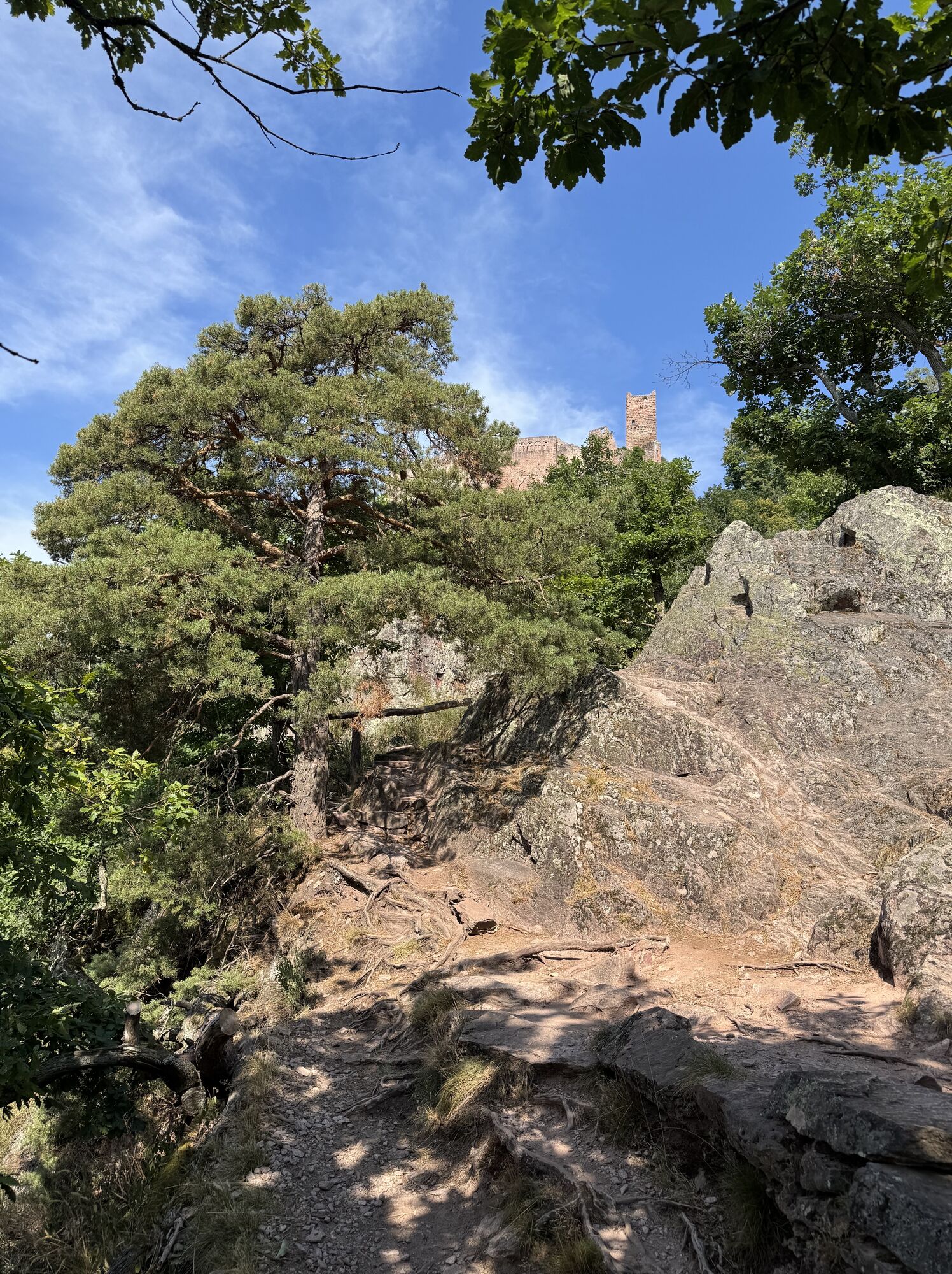
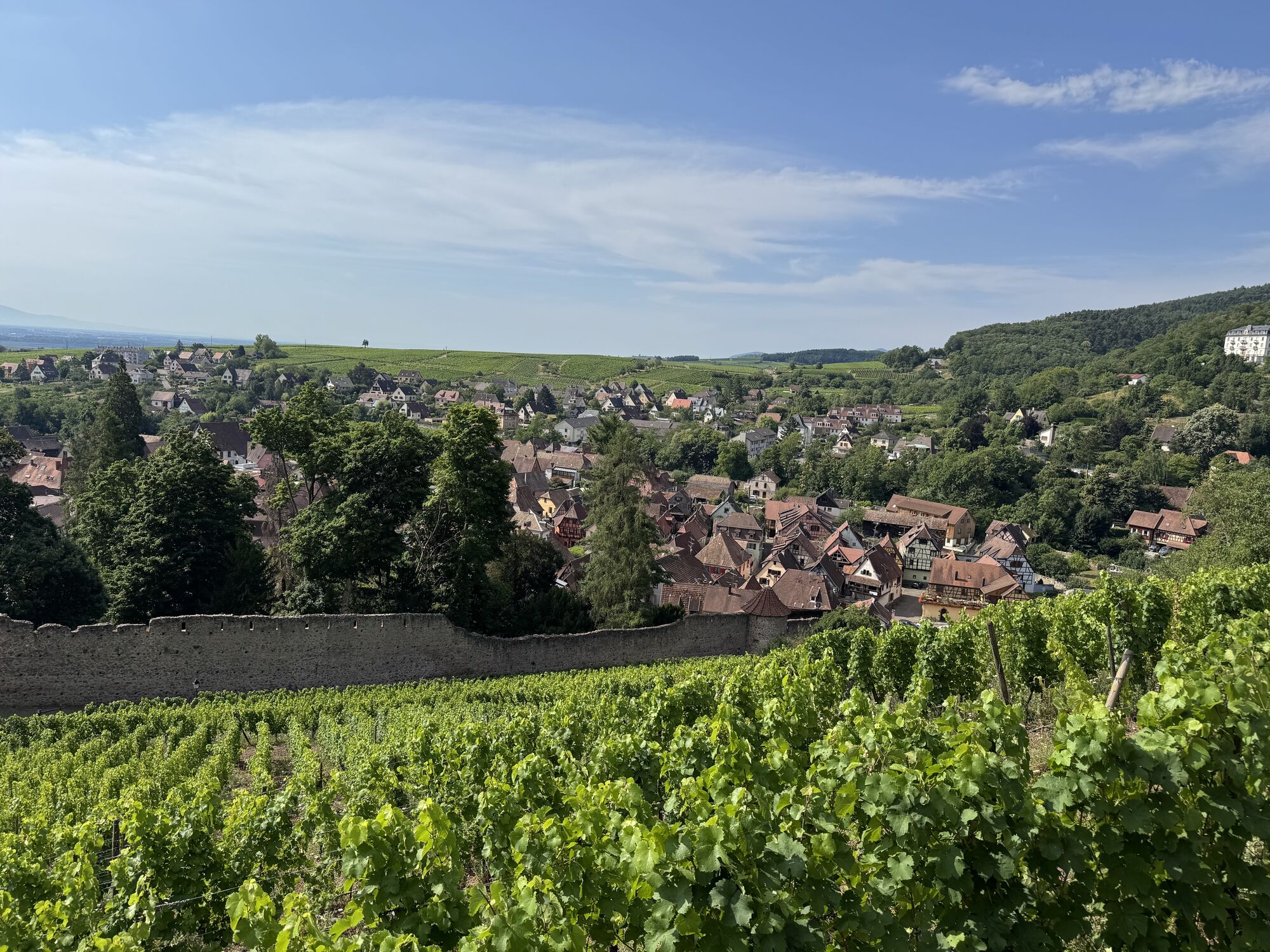
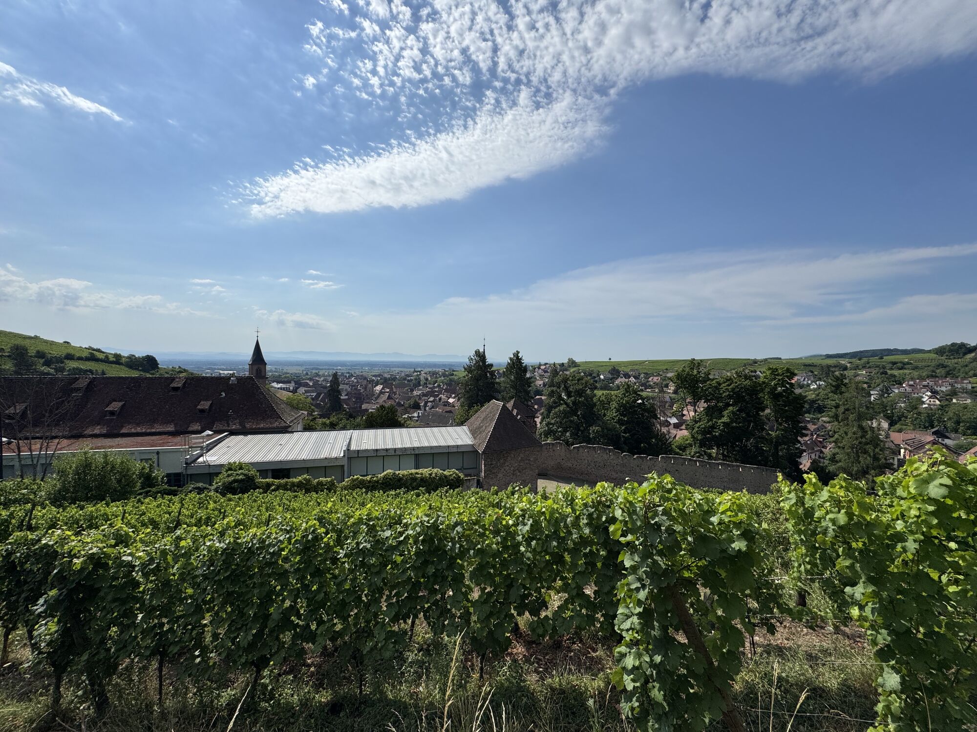
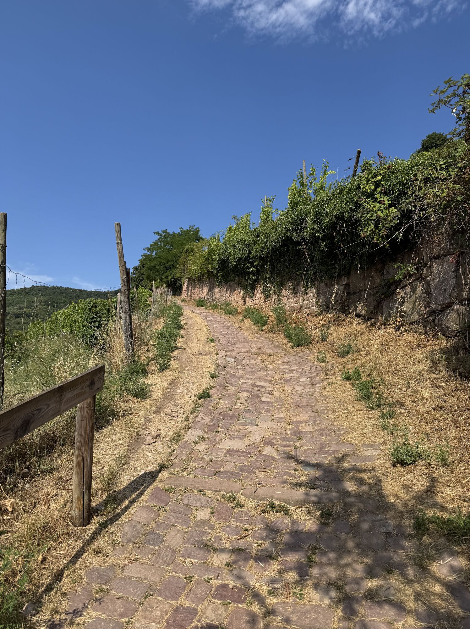
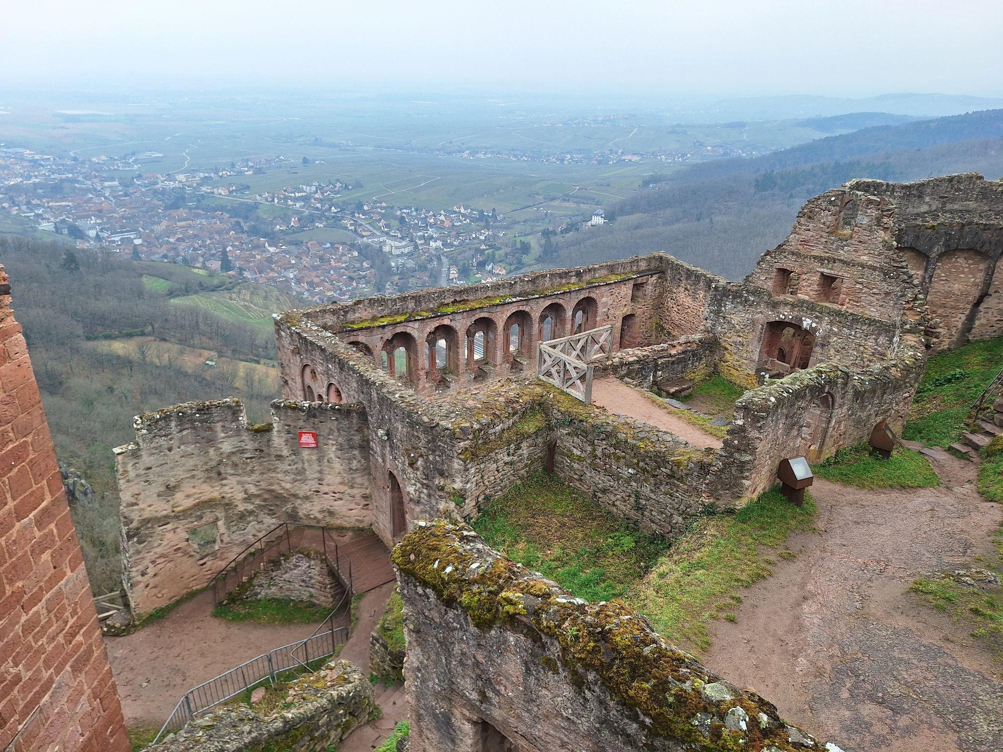
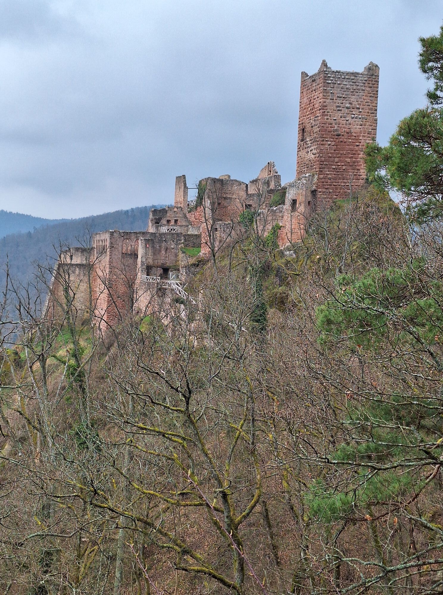
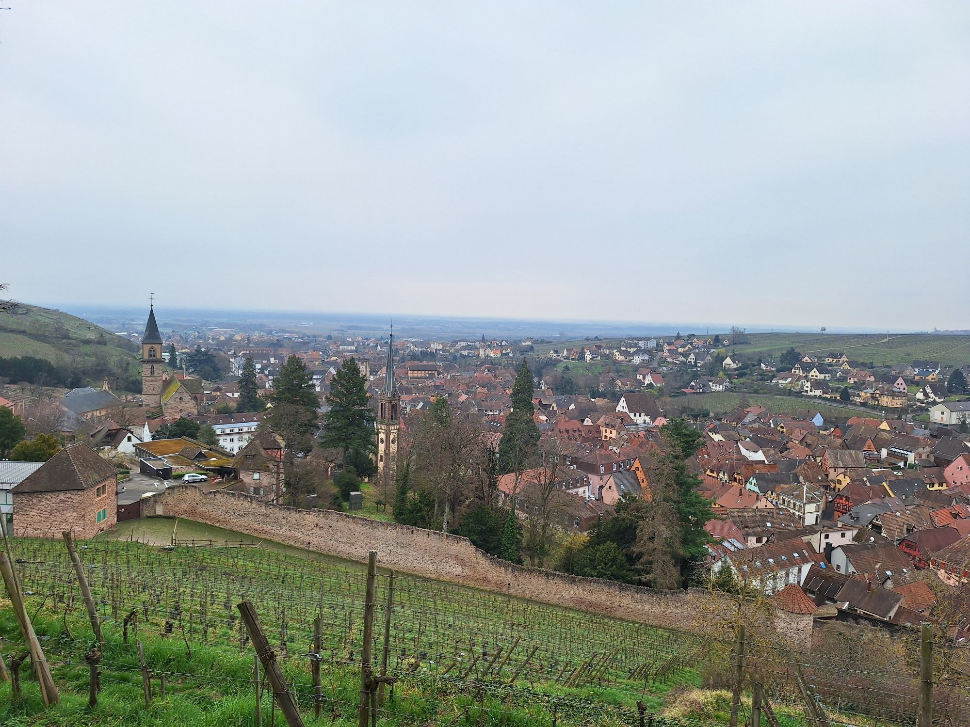
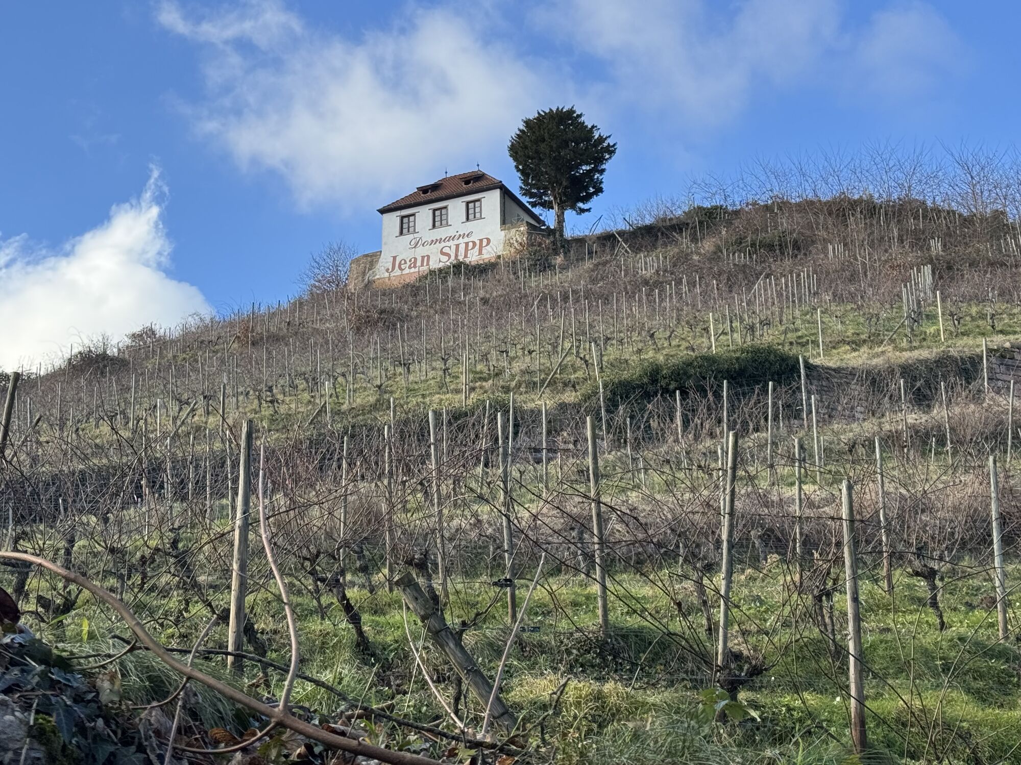
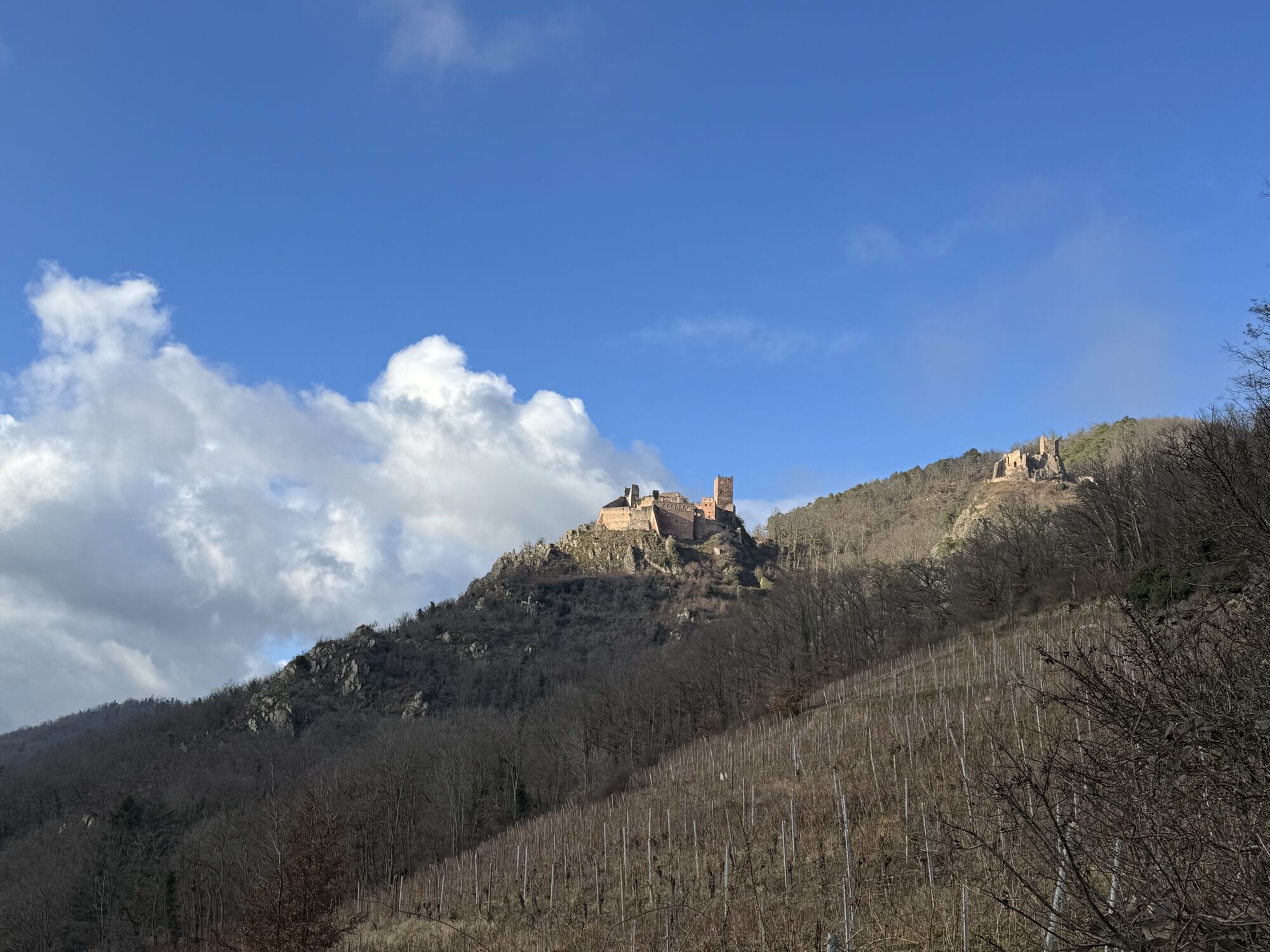
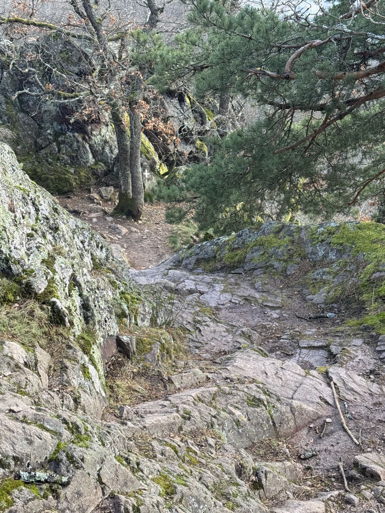
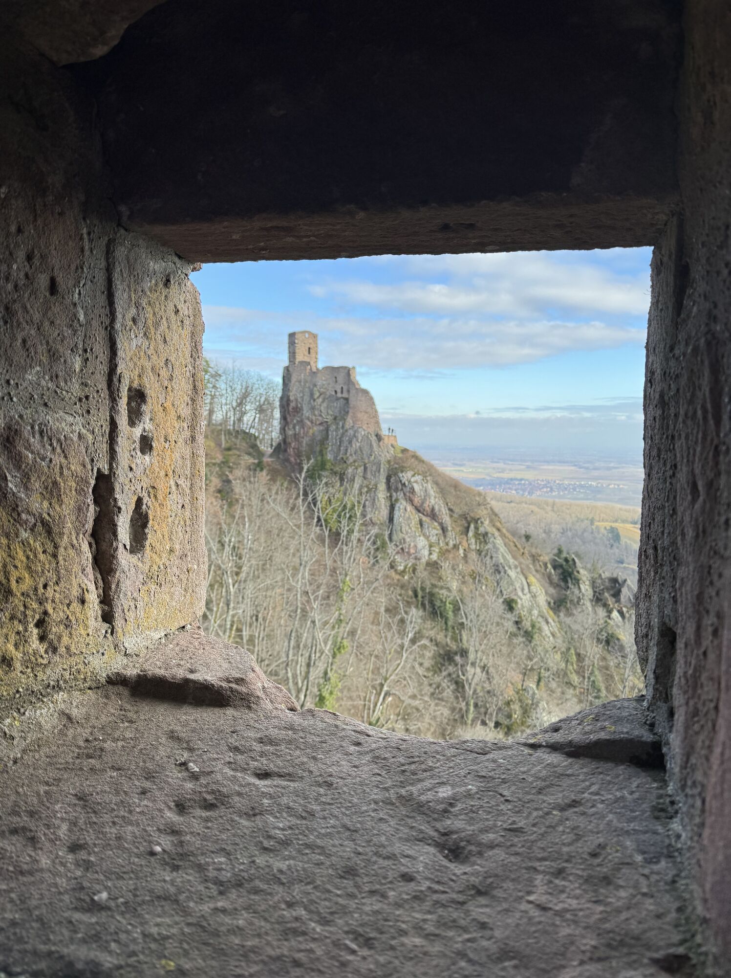
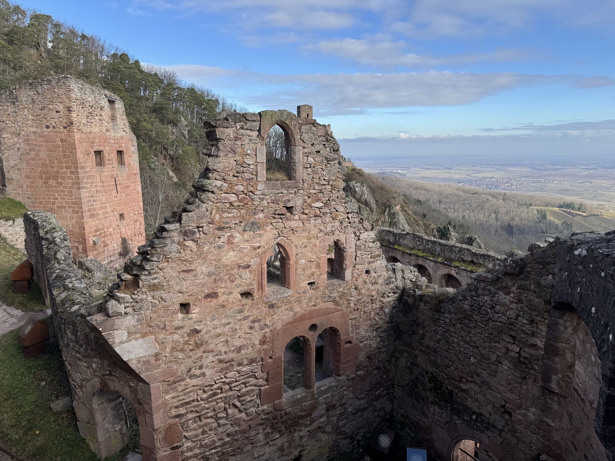
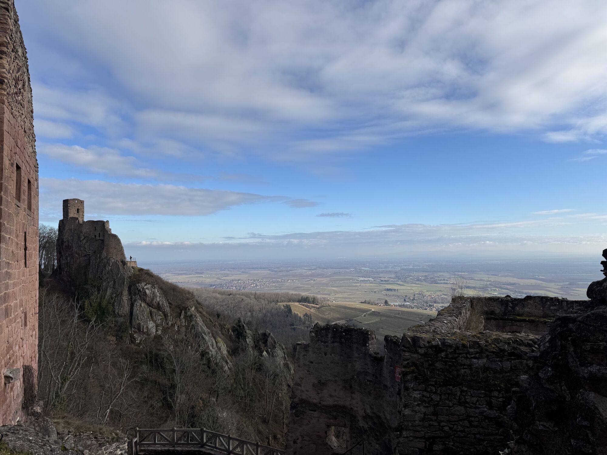
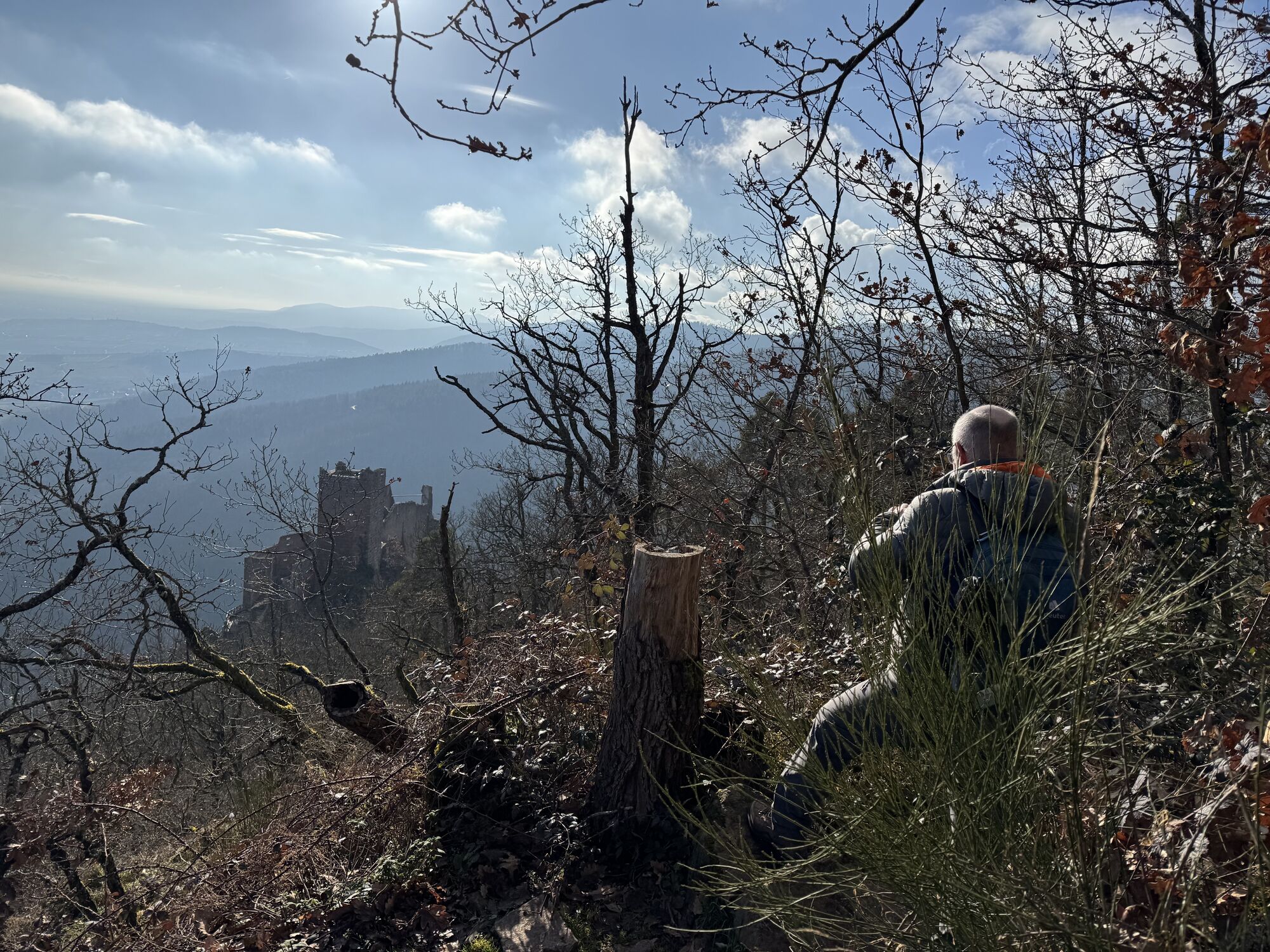
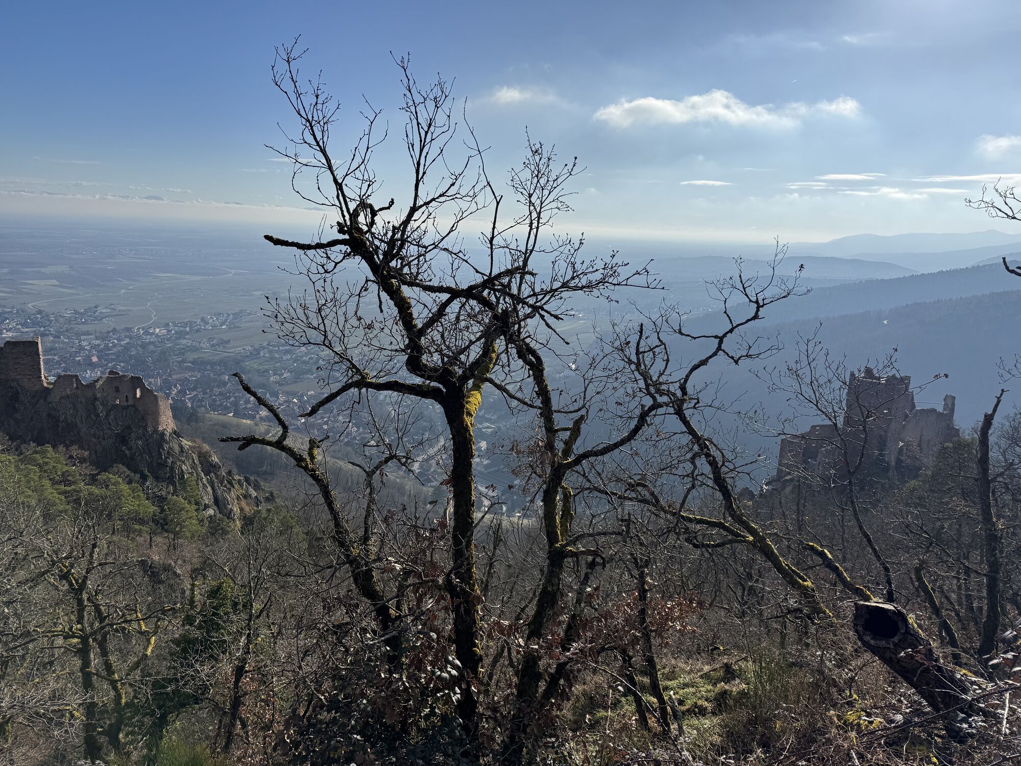
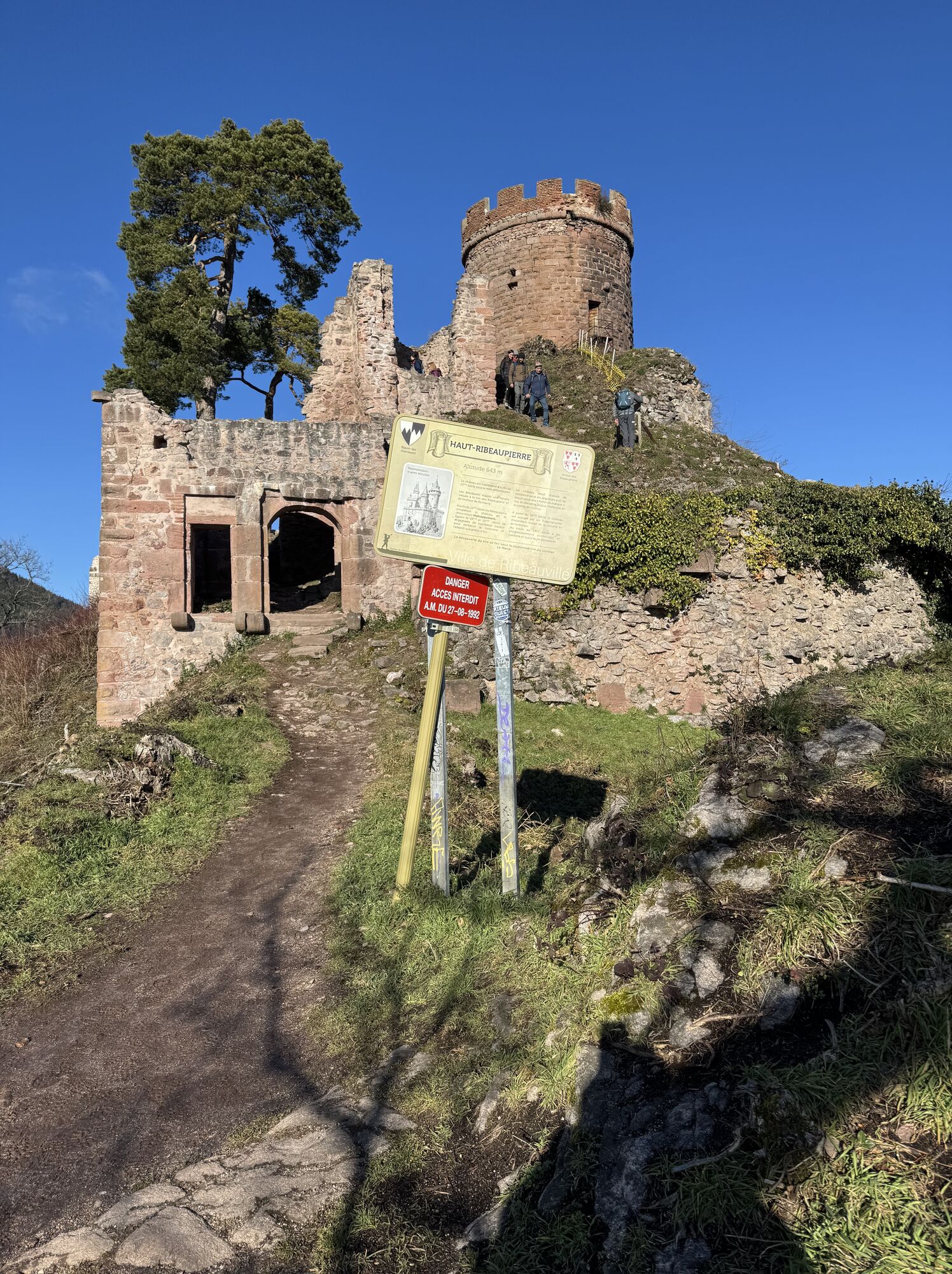
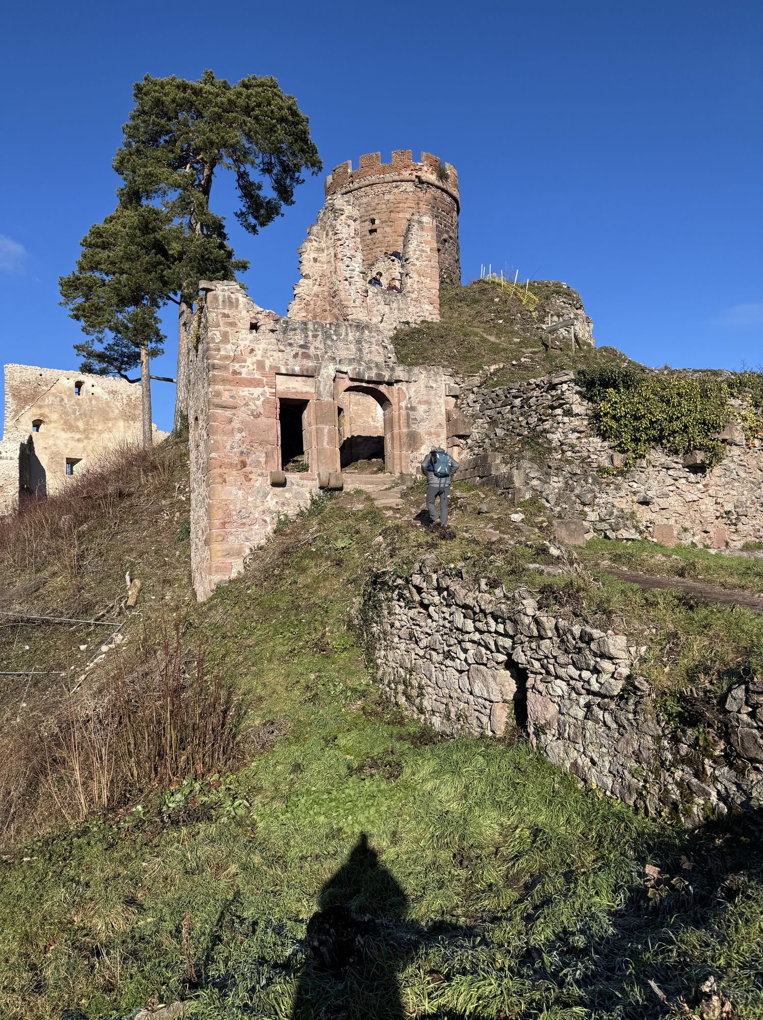
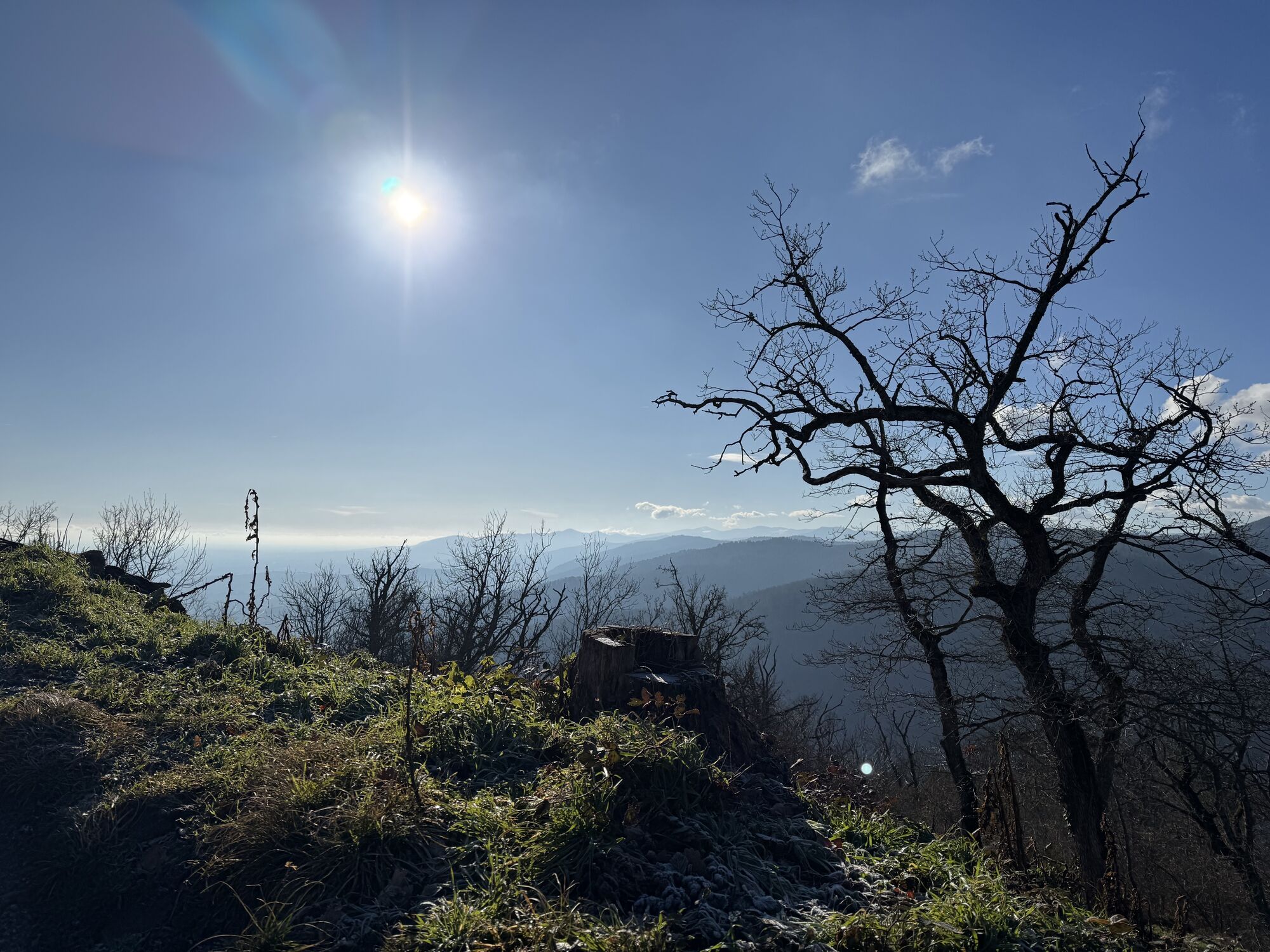
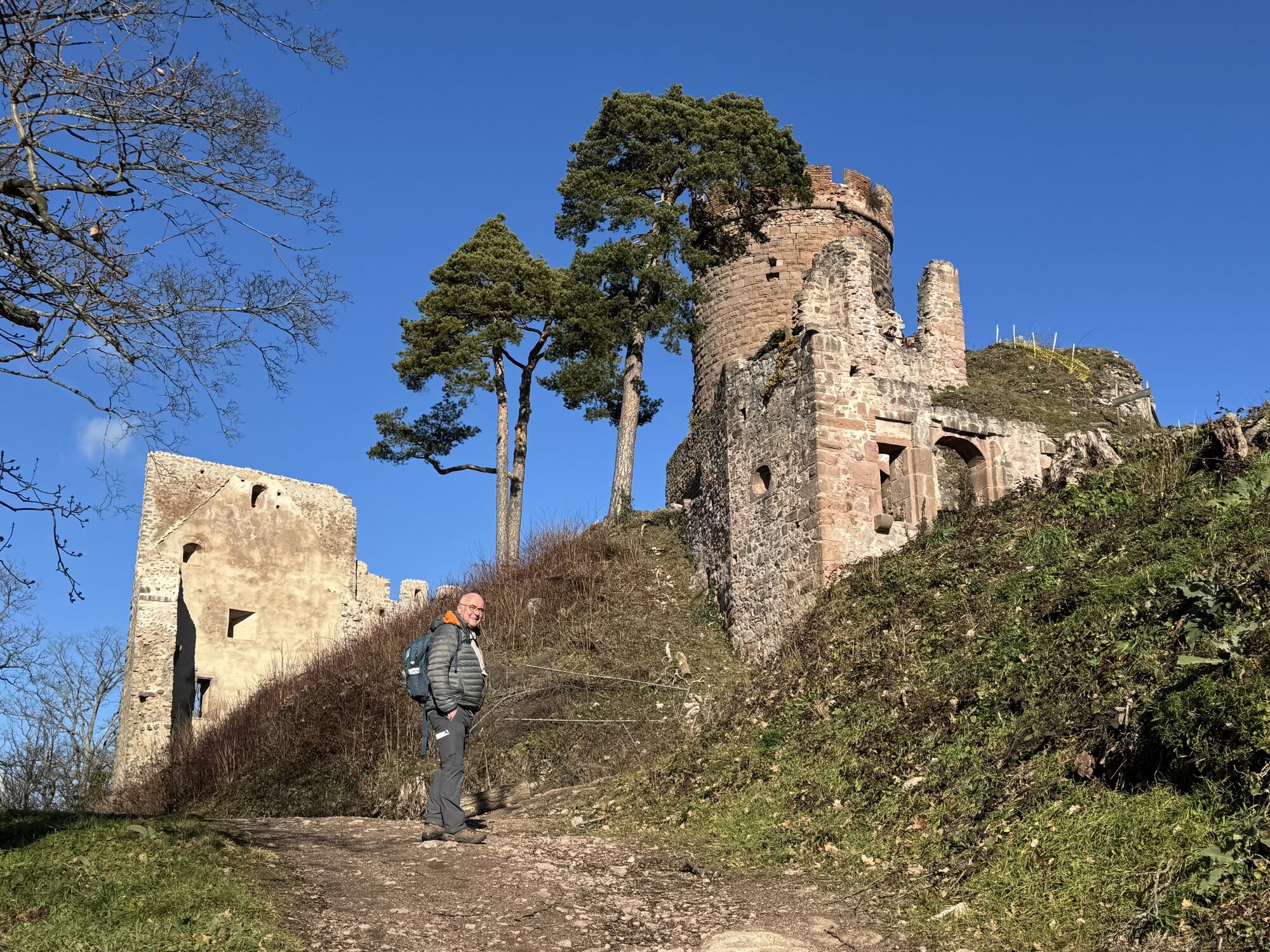
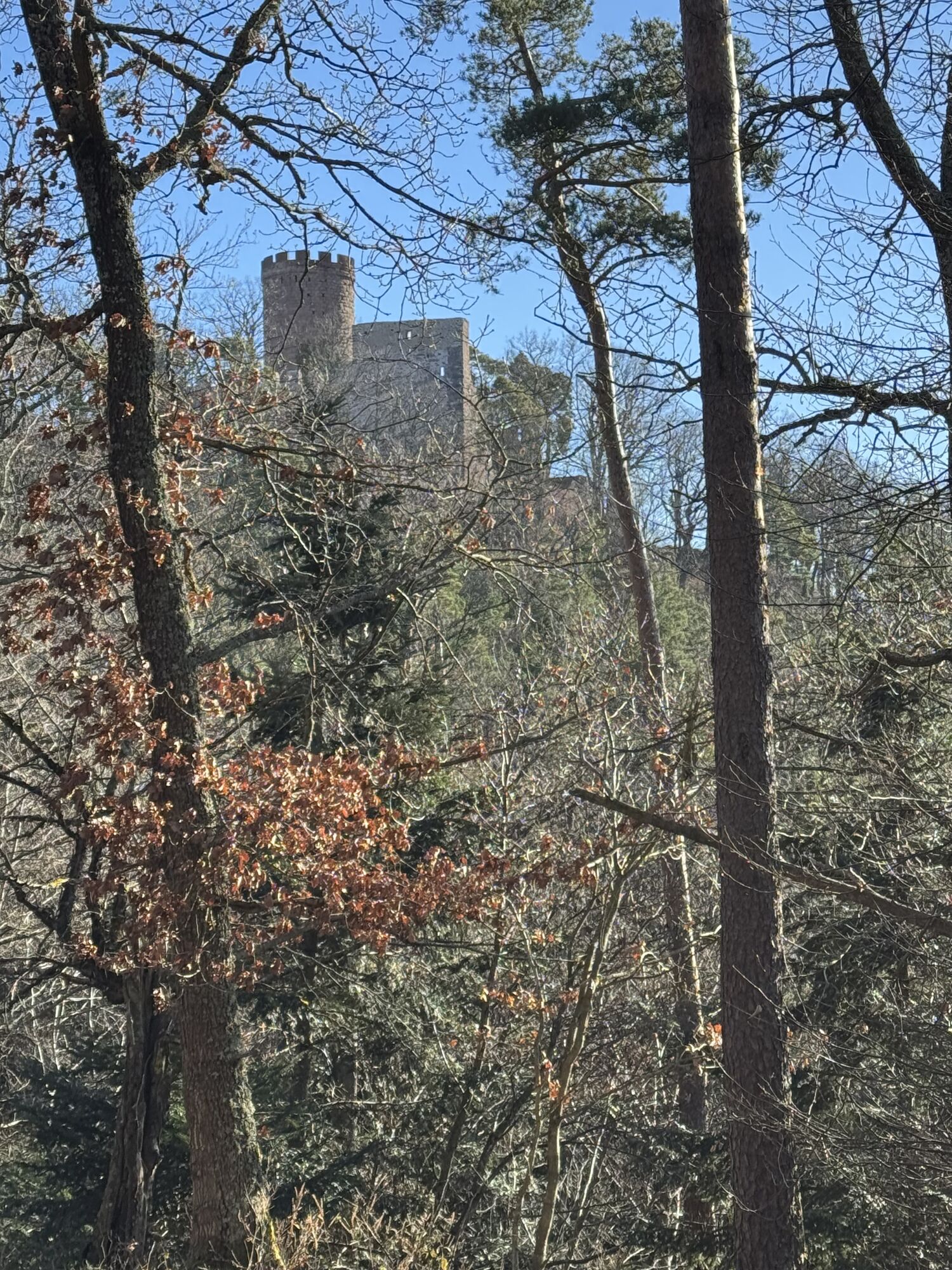
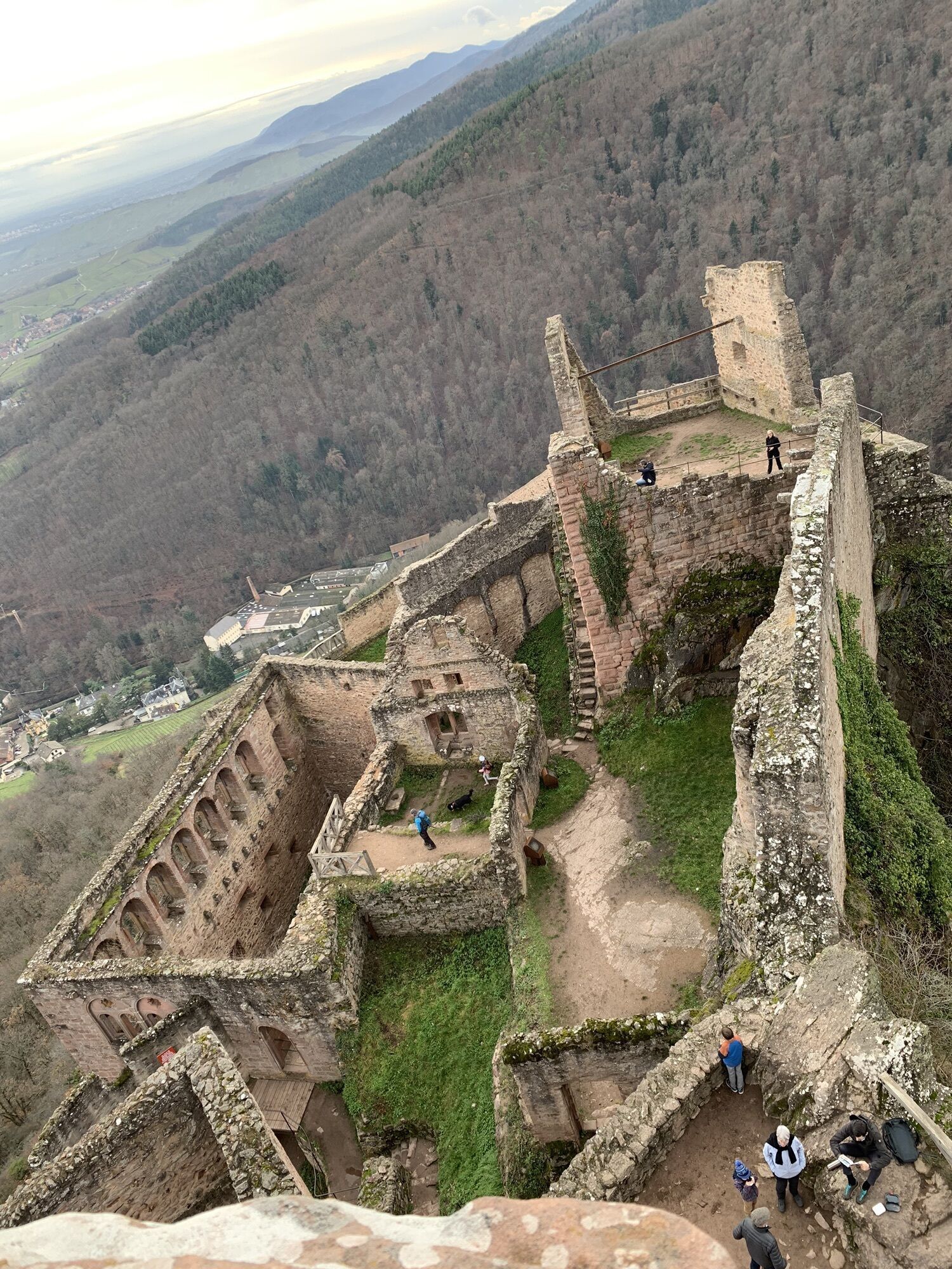
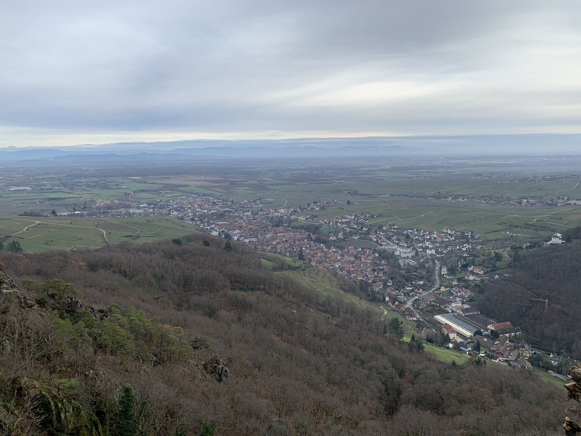
Hike from the charming high-altitude village of Thannenkirch to the wine-growing town of Ribeauvillé.teaux forts d'Alsace, which celebrates its 10th anniversary in 2026, the route takes in the 3 castles...
Hike from the charming high-altitude village of Thannenkirch to the wine-growing town of Ribeauvillé.teaux forts d'Alsace, which celebrates its 10th anniversary in 2026, the route takes in the 3 castles perched high above Ribeauvillé (Haut-Ribeaupierre, Si-Ulrich and Girsberg). On this route, the Chemin des Châteaux forts d'Alsace follows the Leading Quality Trails - Best of Europe GR5, the only certified itinerary in France since 2019.


Follow the "Chemin des châteaux forts d'Alsace" signs.
Hiking shoes suited to the terrain (even for children!)
Hiking poles (useful for stability and to relieve joint strain)
Cell phone and spare battery
Find out about general and local weather conditions, making sure there's no precipitation.
Find out about the approach to the route, its height, how long it will take to reach the summit and any possible retreats (IGN map, GPS, topo-guide, etc.).
Evaluate possible risks by asking mountain professionals, mountain huts and gîtes for information.
Inform someone close to you of your objective, and contact them again if there are any changes: departure and return times, number of participants with telephone numbers for each, vehicle(s), parking, etc.
Avoid setting off alone, and use equipment that is suitable for the activity, adjusted and in good condition: headlamp, complete first-aid kit, survival blanket, etc.
In the event of a problem, call 112 (European emergency number).
Thannekirch
www.fluo.eu
Free on-site parking
T2
Winegrower's fountain
68150 Ribeauville
03 89 73 23 23
http://www.ribeauville-riquewihr.com/
Oblíbené prohlídky v okolí
-
4.0
Ribeauvillé-Riquewihr between forest and vineyard
středníTuristika 12.5 km -
Cycling route: Alsace Vineyard Cycle Route: from Marlenheim to Thann
heavyCyklistika na velkou vzdálenost 141.4 km -
5.0
Radltour an der Elsässer Weinstraße
středníElektrokola 43.9 km -
Saint Hippolyte - Haut Kœnigsbourg
světloTuristika 12.4 km -
5.0
Wandelen boven Kaysersberg. Vogezen.
světloTuristika 9.40 km -
Crossing the Vosges Massif - Stage 12 - Châtenois - Ribeauvillé
heavydálková pěší trasa 19.5 km -
3.0
Tour Haut-Koenigsnourg de St Hypolite
světloTuristika 11.8 km -
Hiking route - la Tour du Faudé
středníTuristika 10.8 km -
Bike route: BL320 - The Décapole through vineyards and slopes
světloJízda na kole 20.2 km -
4.3
Drei Burgen Ribeauvillé
středníTuristika 6.70 km
Pěší turistika a stopování


Nenechte si ujít nabídky a inspiraci pro vaši příští dovolenou
Vaše e-mailová adresa byl přidán do poštovního seznamu.





