


Hiking route - la Tour du Faudé
Start at Parc Lefébure, followed by a small climb, with views over the church and the village center. Pass by the campsite, heading for the Roche du Chat Noir, which also offers a beautiful viewpoint....
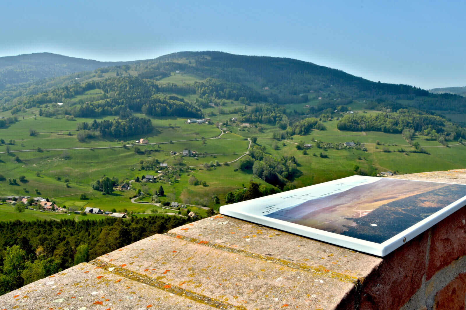
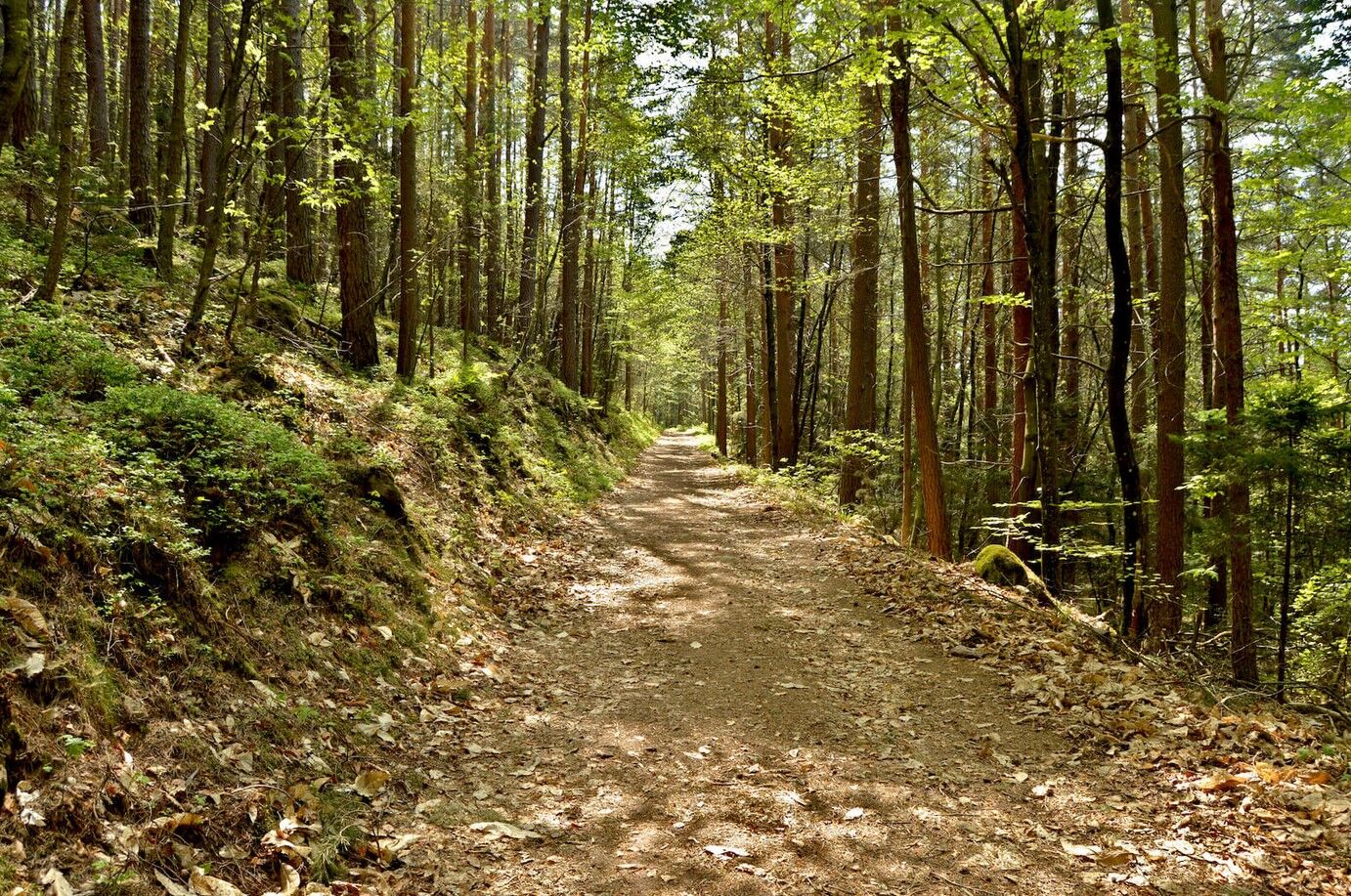
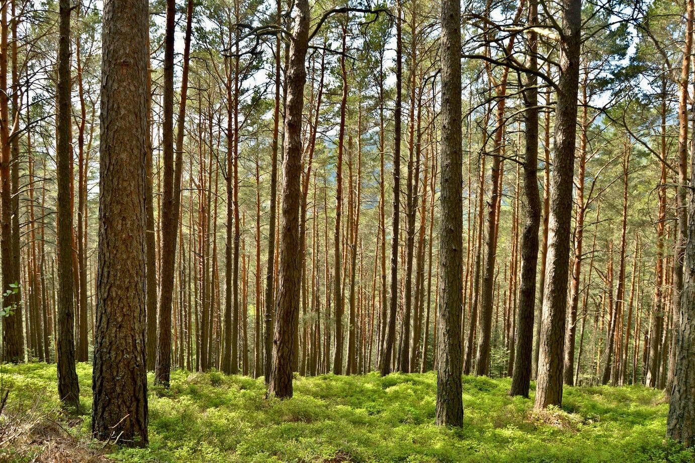
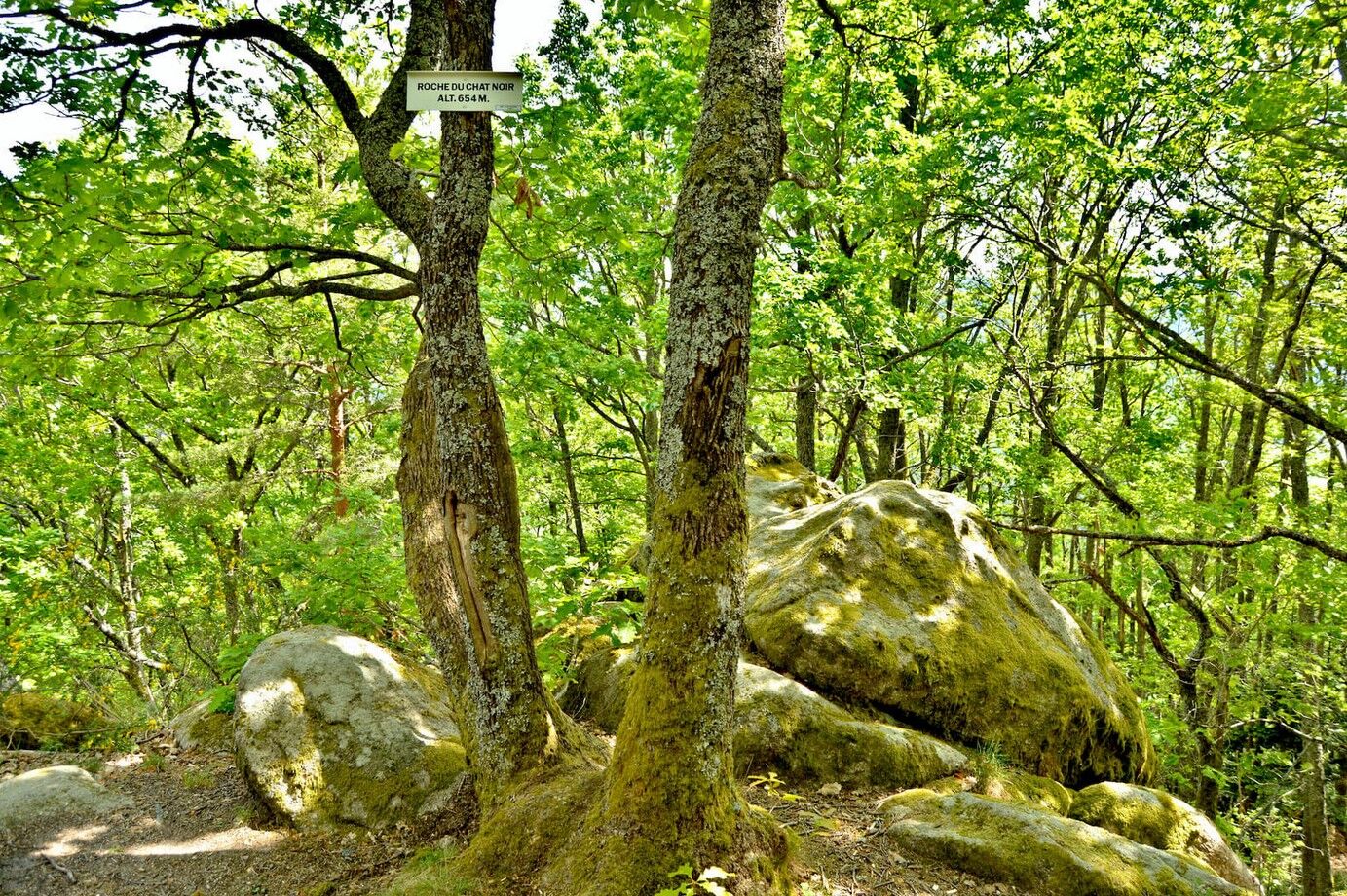
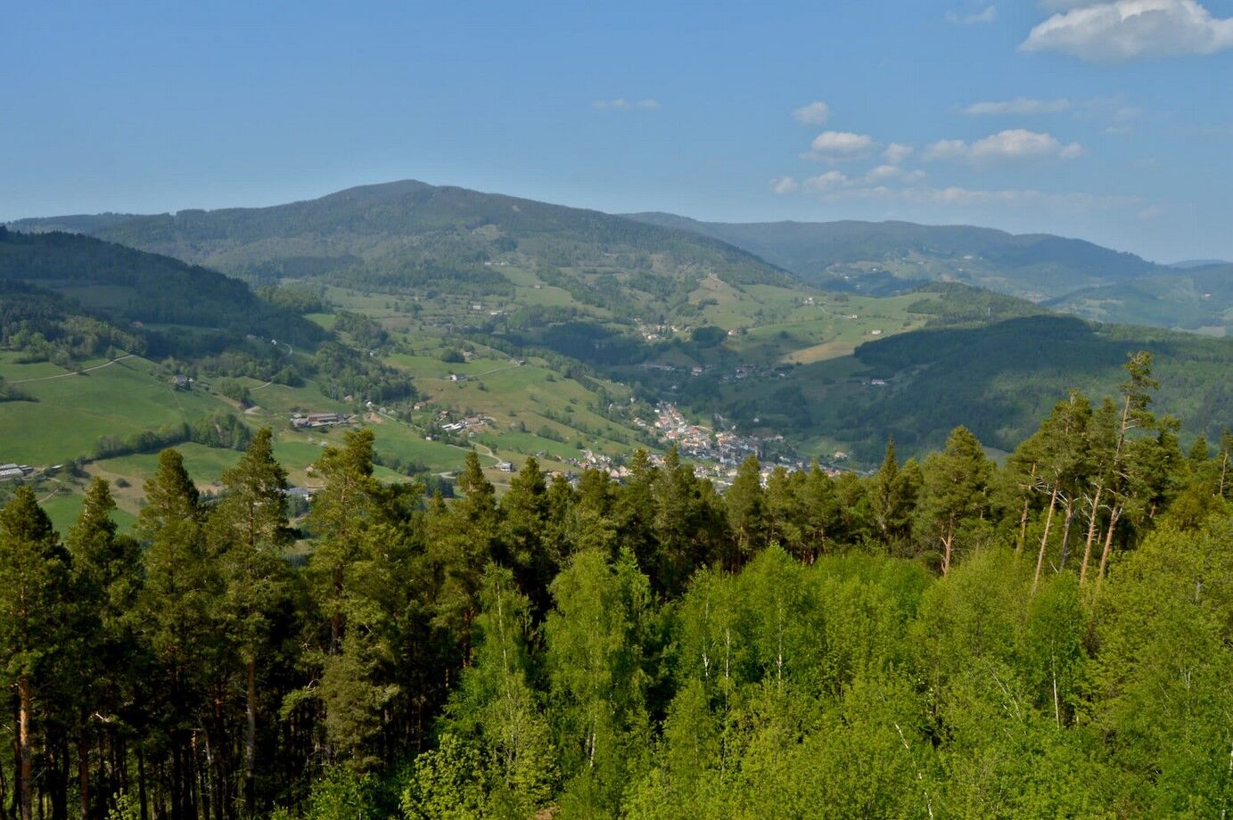
Start at Parc Lefébure, followed by a small climb, with views over the church and the village center. Pass by the campsite, heading for the Roche du Chat Noir, which also offers a beautiful viewpoint. Climb to the Faudé tower, then into the keep (93 steps), to discover a stunning 360° panorama over the valley.

Here is the detailed route!
Ano
Ano
Recommended equipment
Clothing adapted to the season and conditions (cold, hot, humid…)
Hiking shoes suited to the terrain (even for children!)
Telescopic poles (useful for stability and to relieve the joints)
Mobile phone and spare battery if needed
In case of problem
Call 112 (European emergency number)
5 key points to send your alert:
Where? Municipality, place, route, altitude
Who? Identity, phone number
What? Type of accident, number of victims, severity, fall dynamics
When? Time of the accident Weather? Wind, visibility
Kaysersberg Valley Tourist Office
39 rue du Général de Gaulle
68240 Kaysersberg Vignoble
Tel: 03 89 78 22 78
info@kaysersberg.com
Oblíbené prohlídky v okolí
- 4.5
Hiking route - the circuit of the 3 lakes
středníTuristika 12.7 km - 5.0
Le tétras bistrot - Hohneck - Chapelle Notre-Dame-des-Chaumes - Brasserie de la Schlucht
heavyTuristika 10.7 km - 4.0
Ribeauvillé-Riquewihr between forest and vineyard
středníTuristika 12.5 km - 4.5
Eguisheim zu den 3 Burgen
středníTuristika 7.90 km - 5.0
Vogesen Col de la Schlucht
heavyTuristika 19.3 km Bike route: BL128 - Around Colmar, capital of Alsace wines
světloJízda na kole 23.3 kmCycling route: Alsace Vineyard Cycle Route: from Marlenheim to Thann
heavyCyklistika na velkou vzdálenost 141.4 km- 4.0
Le tétras bistrot - Hôtel - Restaurant du Chalet - Chapelle Notre-Dame-des-Chaumes - La Schlucht
středníTuristika 5.95 km - 4.0
Hohrod - Wanderung in die Zeit des 1. Weltkrieges
středníTuristika 7.87 km - 5.0
Radltour an der Elsässer Weinstraße
středníElektrokola 43.9 km
Pěší turistika a stopování


Nenechte si ujít nabídky a inspiraci pro vaši příští dovolenou
Vaše e-mailová adresa byl přidán do poštovního seznamu.