






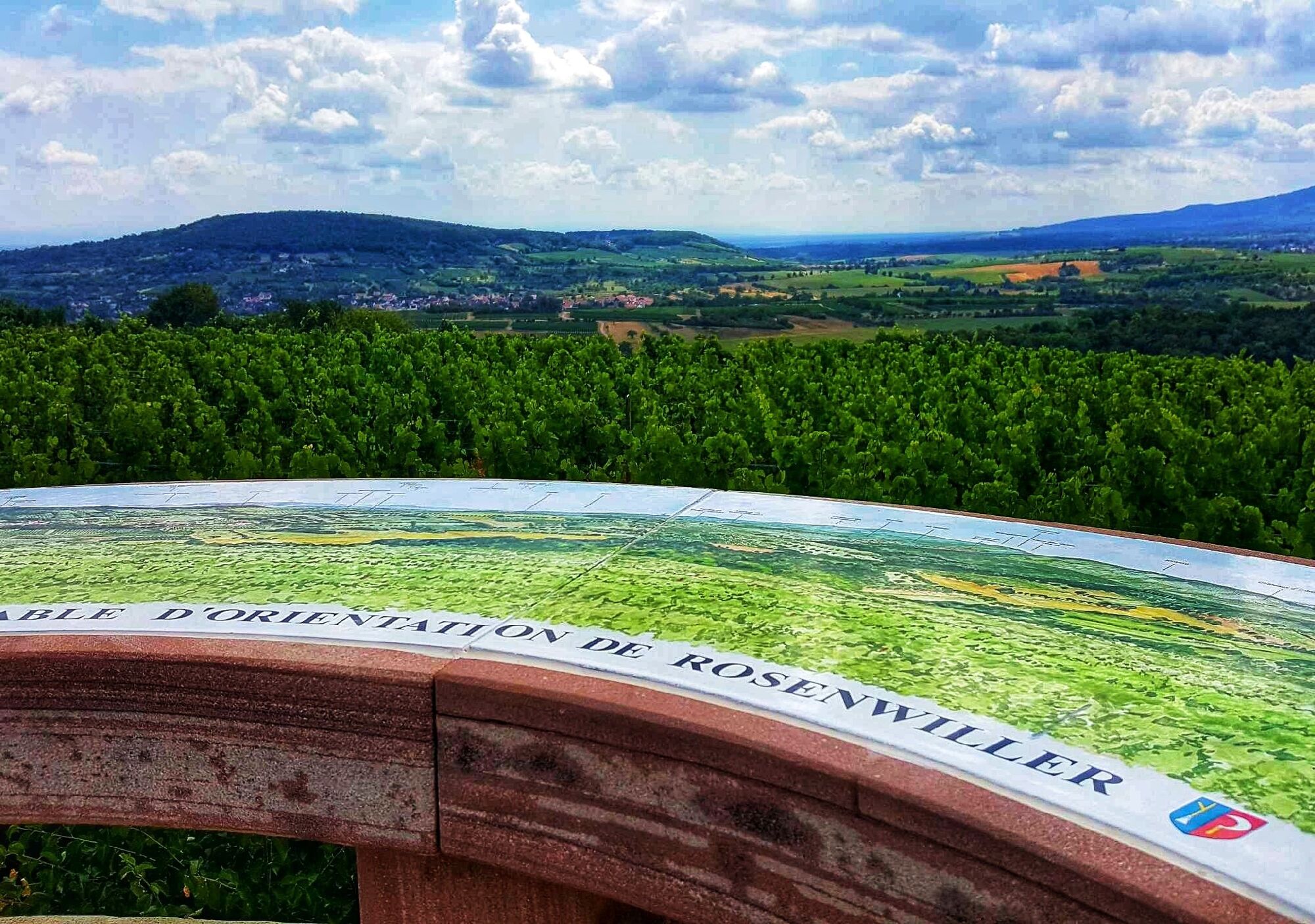
du Westerberg route
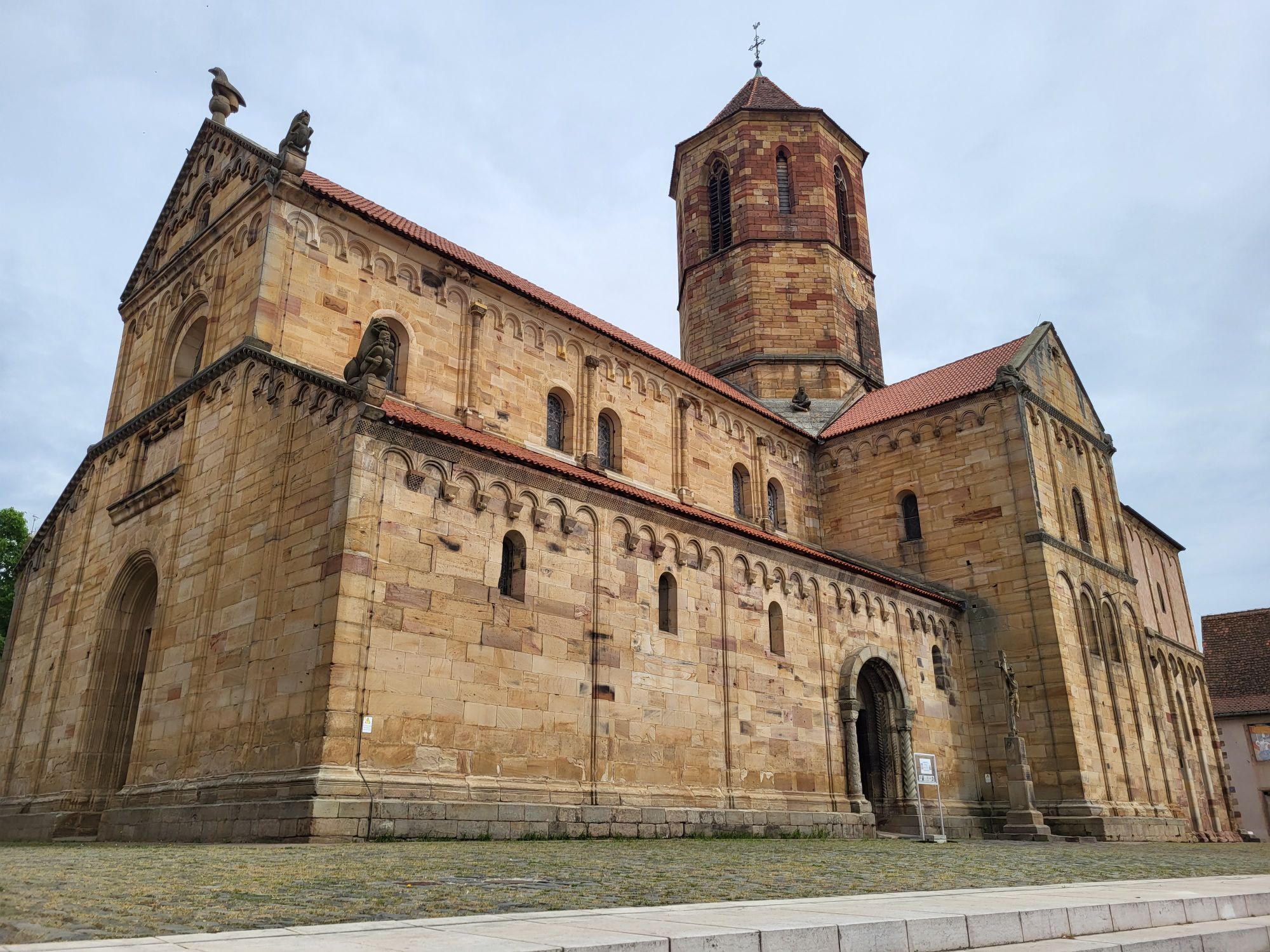
The Greenway "Portes Bonheur, chemin des carrières" which stretches over 11 km from Rosheim to Saint-Nabor also offers the possibility to leave the route and discover on a circular path other viewpoints...
The Greenway "Portes Bonheur, chemin des carrières" which stretches over 11 km from Rosheim to Saint-Nabor also offers the possibility to leave the route and discover on a circular path other viewpoints and landscape perspectives!

apps.tourisme-alsace.info/photos/rosheim/photos/258003188_d1.pdf
Ano
Clothing suited to the season and conditions (cold, hot, humid…)
Hiking shoes appropriate for the terrain (even for children!)
Hiking poles (useful for stability and to relieve the joints)
Mobile phone and spare battery
Before leaving:
Check the general and local weather, ensuring no precipitation
Get information on the approach walk, height of the route, duration, possible escape routes (IGN map, GPS, guidebook, etc…)
Assess possible risks by consulting mountain professionals, refuges, lodges
Inform a close person of your objective and contact them in case of changes: departure and return times, number of participants with each phone number, vehicle(s), parking
Avoid leaving alone, use equipment suitable for the activity, properly adjusted and in good condition, headlamp, complete first aid kit, survival blanket, etc…
In case of problem, call 112 (European emergency number)
67560 Rosheim
Rosheim Fluo TER station
Neuland parking lot in Rosheim
Intercommunal Tourist Office of Mont Sainte-Odile
Phone: 03 88 50 75 38
contact@mso-tourisme.com
Oblíbené prohlídky v okolí
-
5.0
"Grands Crus" Bike Route
středníJízda na kole 29.7 km -
5.0
A corner of freshness... at the Hohwald waterfall
světloTuristika 5.75 km -
Bike Route "Parks and Gardens"
středníJízda na kole 40.8 km -
Bike loop "Mont Sainte-Odile from Obernai"
heavyJízda na kole 27.7 km -
Crossing of the Vosges Massif - Stage 10 - Le Hohwald - Barr
střednídálková pěší trasa 16.8 km -
S. Odile - Rundweg
světloTuristika 10.6 km -
Strasbourg - Barr bike loop
středníJízda na kole 86.5 km -
Crossing of the Vosges Massif - Stage 07 - Wangenbourg-Engenthal - Urmatt
střednídálková pěší trasa 17.6 km -
Bicycle Circuit "Rosheim - Obernai via the Portes Bonheur"
světloJízda na kole 21.2 km -
5.0
Hiking to Landsberg Castle
středníTuristika 8.88 km
Pěší turistika a stopování


Nenechte si ujít nabídky a inspiraci pro vaši příští dovolenou
Vaše e-mailová adresa byl přidán do poštovního seznamu.





