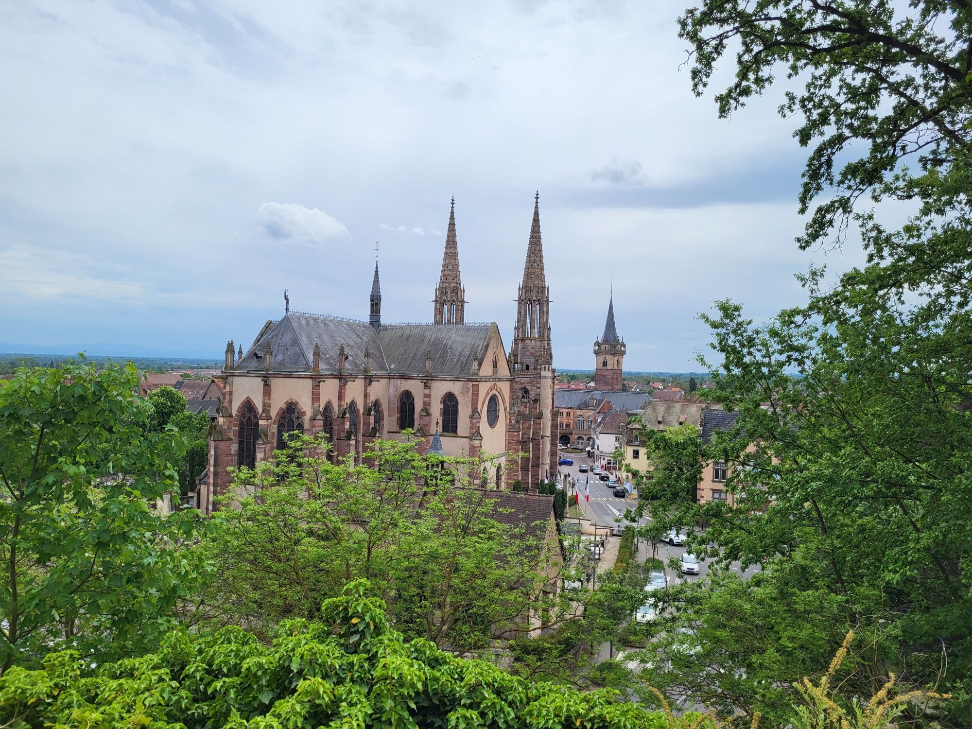
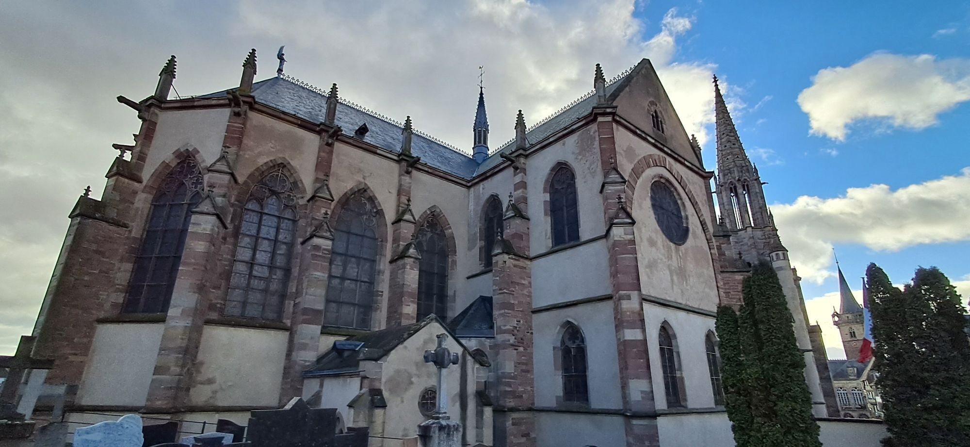
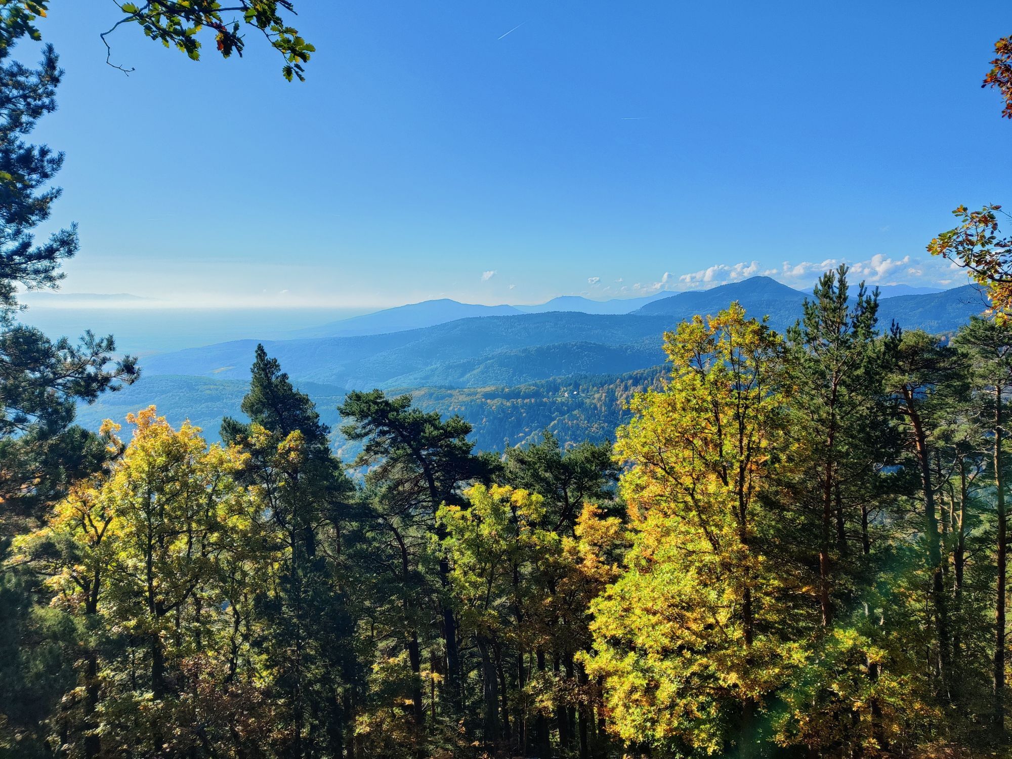
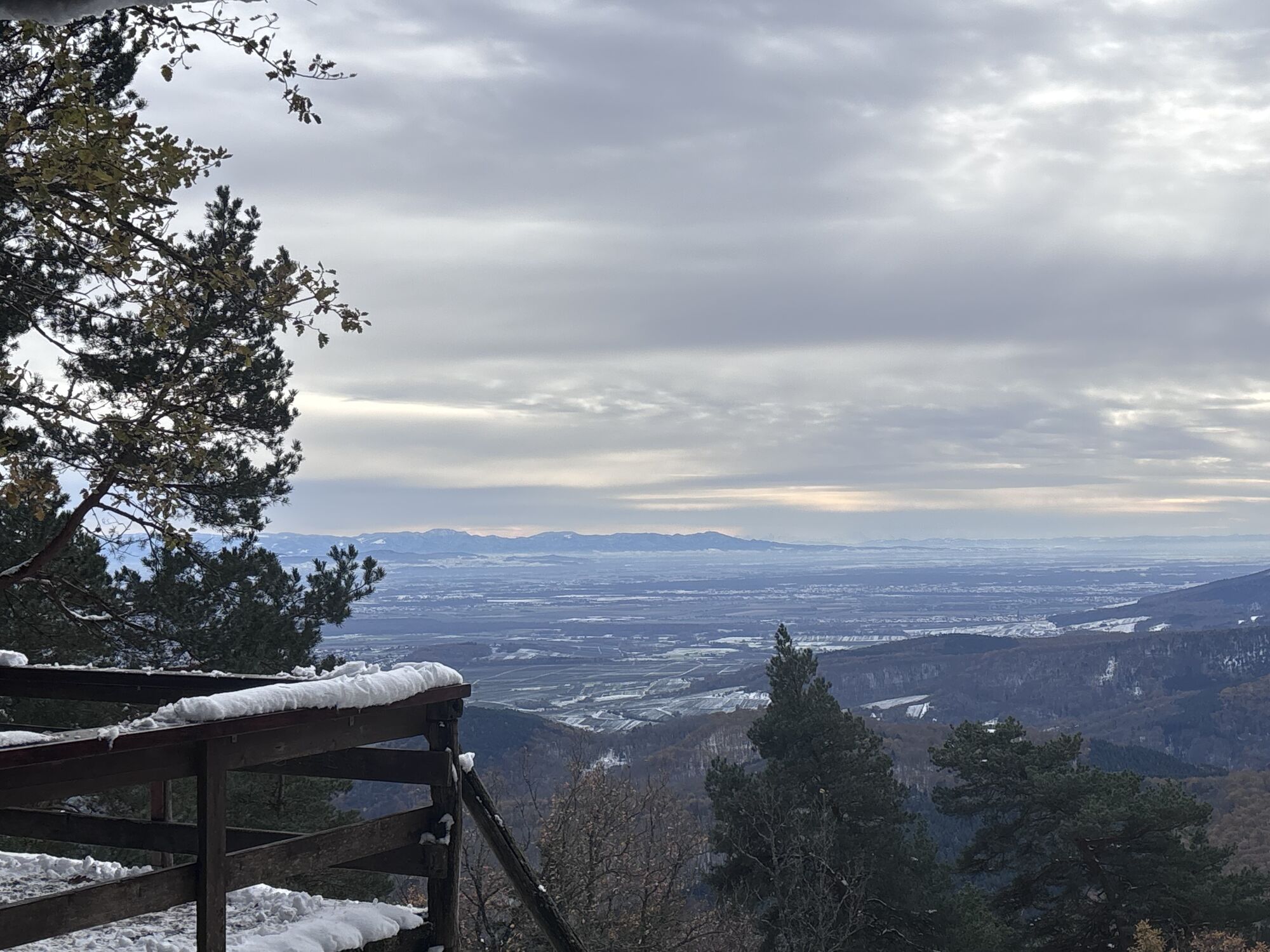
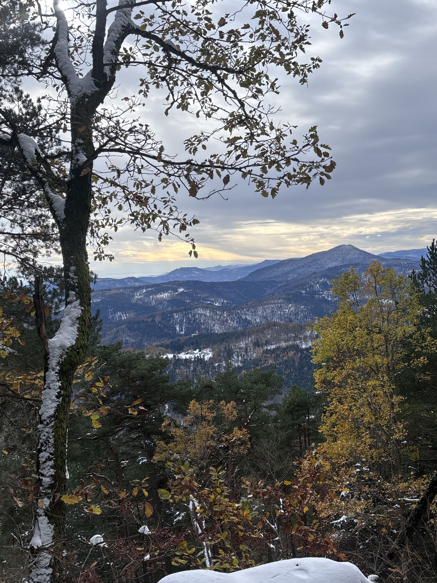
Bischoffsheim - Église Saints-Pierre-et-Paul - Chapelle Sainte-Marguerite - Église Saint-Arbogast
střední
Navigace na stránkách
Navigace na stránkách
Pořiďte si tuto prohlídku do mobilního telefonu
Bischoffsheim - Église Saints-Pierre-et-Paul - Chapelle Sainte-Marguerite - Église Saint-Arbogast
střední
Silniční kolo
71.35
km
Naskenujte QR kód a spusťte navigaci v aplikaci bergfex.

Pěší turistika a stopování


Bischoffsheim - Église Saints-Pierre-et-Paul - Chapelle Sainte-Marguerite - Église Saint-Arbogast
střední
Vzdálenost
71.35
km
Doba trvání
03:55
h
Ascent
877
hm
Hladina moře
155 -
749
m
Stažení skladby
Bischoffsheim - Église Saints-Pierre-et-Paul - Chapelle Sainte-Marguerite - Église Saint-Arbogast
střední
Silniční kolo
71.35
km
Trasa
Église Saints-Pierre-et-Paul
(188 m)
Místo konání bohoslužeb
3.5 km
Chapelle Sainte-Marguerite
(159 m)
Místo konání bohoslužeb
11.1 km
Église Saint-Martin
(158 m)
Místo konání bohoslužeb
19.5 km
Église Saint-Arbogast
(166 m)
Místo konání bohoslužeb
34.8 km
Bourgheim
(165 m)
Vesnice
35.2 km
Heiligenstein
(270 m)
Vesnice
38.5 km
Église Saint-Médard
(229 m)
Místo konání bohoslužeb
64.4 km
Trasa
Bischoffsheim - Église Saints-Pierre-et-Paul - Chapelle Sainte-Marguerite - Église Saint-Arbogast
střední
Silniční kolo
71.35
km
Bischoffsheim
(188 m)
Železniční stanice
0.0 km
Bischoffsheim
(200 m)
Vesnice
0.7 km
Buerzel
(200 m)
Koridor/terén
1.6 km
Spittelgehren
(194 m)
Koridor/terén
3.2 km
Kirchberg
(208 m)
Koridor/terén
3.2 km
Chapelle des Oliviers
(192 m)
Místo konání bohoslužeb
3.4 km
Église Saints-Pierre-et-Paul
(188 m)
Místo konání bohoslužeb
3.5 km
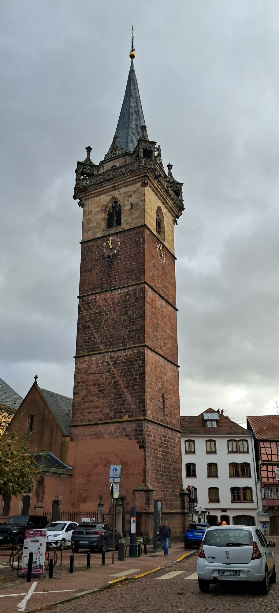
Obernai
(184 m)
Město
3.6 km
Chapelle Notre-Dame
(184 m)
Místo konání bohoslužeb
3.9 km
Am Tiefen Weg
(183 m)
Koridor/terén
5.1 km
Traenkweg
(169 m)
Koridor/terén
7.0 km
Aux Trois Clés
(167 m)
Restaurace
7.4 km
Goxwiller
(167 m)
Vesnice
7.5 km
Chapelle Sainte-Marguerite
(159 m)
Místo konání bohoslužeb
11.1 km
Valff
(160 m)
Vesnice
11.1 km
Restaurant du Tilleul
(158 m)
Restaurace
11.7 km
Das Allmendel
(156 m)
Koridor/terén
12.7 km
Auf der Kleinen Glockersmatt
(156 m)
Koridor/terén
13.0 km
Klein Allmend Hochstrasse
(156 m)
Koridor/terén
14.2 km
Auf Schlosserallmend
(156 m)
Koridor/terén
14.7 km
La Cour des Moineaux
(157 m)
Restaurace
16.8 km
Église Saint-Martin
(158 m)
Místo konání bohoslužeb
19.5 km
Sand
(157 m)
Vesnice
19.5 km
La Charrue
(157 m)
Restaurace
19.7 km
Ehl
(157 m)
Vypořádání
20.9 km
Benfeld
(161 m)
Vesnice
23.3 km
La Cour des Moineaux
(157 m)
Restaurace
27.2 km
Auf Schlosserallmend
(156 m)
Koridor/terén
29.2 km
Klein Allmend Hochstrasse
(156 m)
Koridor/terén
29.9 km
Auf der Kleinen Glockersmatt
(156 m)
Koridor/terén
31.1 km
Das Allmendel
(156 m)
Koridor/terén
31.4 km
Chapelle Saint-Blaise
(161 m)
Místo konání bohoslužeb
32.4 km
Valff
(160 m)
Vesnice
32.6 km
Am Valfferweg
(162 m)
Koridor/terén
34.2 km
Église Saint-Arbogast
(166 m)
Místo konání bohoslužeb
34.8 km
Bourgheim
(165 m)
Vesnice
35.2 km
In der Ackerlaenge
(167 m)
Koridor/terén
35.7 km
In der Letzann
(176 m)
Koridor/terén
36.4 km
Mittellaeng
(198 m)
Koridor/terén
37.1 km
GrundPlaetzel
(202 m)
Koridor/terén
37.2 km
Unterau Lohweg
(230 m)
Koridor/terén
38.0 km
Kraehental
(249 m)
Koridor/terén
38.3 km
Gaesselweg
(260 m)
Koridor/terén
38.4 km
Heiligenstein
(270 m)
Vesnice
38.5 km
Am Affenberg
(274 m)
Koridor/terén
42.5 km
Saint-Nabor
(336 m)
Vesnice
43.7 km
Im Muehlhoffen
(327 m)
Koridor/terén
43.9 km
Carrefour de la Bloss
(705 m)
Koridor/terén
50.2 km
Klingenthal
(297 m)
Vypořádání
59.4 km
Restaurant au Cygne
(278 m)
Restaurace
59.7 km
Kupferhammer
(258 m)
Vypořádání
60.6 km
Au Rouge d'Ottrott
(247 m)
Restaurace
61.6 km
Bœrsch
(229 m)
Vesnice
64.3 km
Église Saint-Médard
(229 m)
Místo konání bohoslužeb
64.4 km
Restaurant Au Vieux Pressoir
(224 m)
Restaurace
64.6 km
Restaurant de la Gare
(215 m)
Restaurace
65.1 km
Rosheim
(192 m)
Vesnice
68.4 km
Bischoffsheim
(200 m)
Vesnice
70.6 km
Bischoffsheim
(188 m)
Železniční stanice
71.3 km
Zatím žádné recenze
Oblíbené prohlídky v okolí
-
5.0
"Grands Crus" Bike Route
středníJízda na kole 29.7 km -
Way of Saint James of Compostela in Alsace
středníPoutní stezka 274.4 km -
Bike route: EuroVelo5 Via Romea. Saarbrücken – Strasbourg – Basel
středníCyklistika na velkou vzdálenost 388.7 km -
5.0
A corner of freshness... at the Hohwald waterfall
světloTuristika 5.75 km -
Bike Route "Parks and Gardens"
středníJízda na kole 40.8 km -
Bike loop "Mont Sainte-Odile from Obernai"
heavyJízda na kole 27.7 km -
Crossing of the Vosges Massif - Stage 10 - Le Hohwald - Barr
střednídálková pěší trasa 16.8 km -
Traversée du Massif des Vosges - Stage 11 - Barr - Châtenois
heavydálková pěší trasa 30.7 km -
S. Odile - Rundweg
světloTuristika 10.6 km -
Strasbourg - Barr bike loop
středníJízda na kole 86.5 km
Pěší turistika a stopování

Více než 550.000 návrhů výletů, podrobné mapy a intuitivní plánovač tras dělají z aplikace nezbytnou výbavu pro všechny milovníky přírody.

Nenechte si ujít nabídky a inspiraci pro vaši příští dovolenou
Přihlaste se k odběru newsletteru
Chyba
Došlo k chybě. Zkuste to prosím znovu.
Děkujeme za vaši registraci
Vaše e-mailová adresa byl přidán do poštovního seznamu.
Zájezdy po celé Evropě
Rakousko
Švýcarsko
Německo
Itálie
Slovenia
Francie
Nizozemsko
Belgie
Polsko
Lichtenštejnsko
Česko
Slovensko
Španělsko
Chorvatsko
Bosna a Hercegovina
Lucembursko
Andorra
Portugal
Iceland
United Kingdom
Ireland
Greece
Albania
North Macedonia
Malta
Norway
Montenegro
Moldova
Kosovo
Hungary
San Marino
Romania
Estonia
Latvia
Belarus
Cyprus
Lithuania
Serbia
Bulgaria
Monaco
Denmark
Sweden
Finland