



Rhône to Rhine bike loop, from Neuf-Brisach to Artzenheim

Úroveň obtížnosti: 1
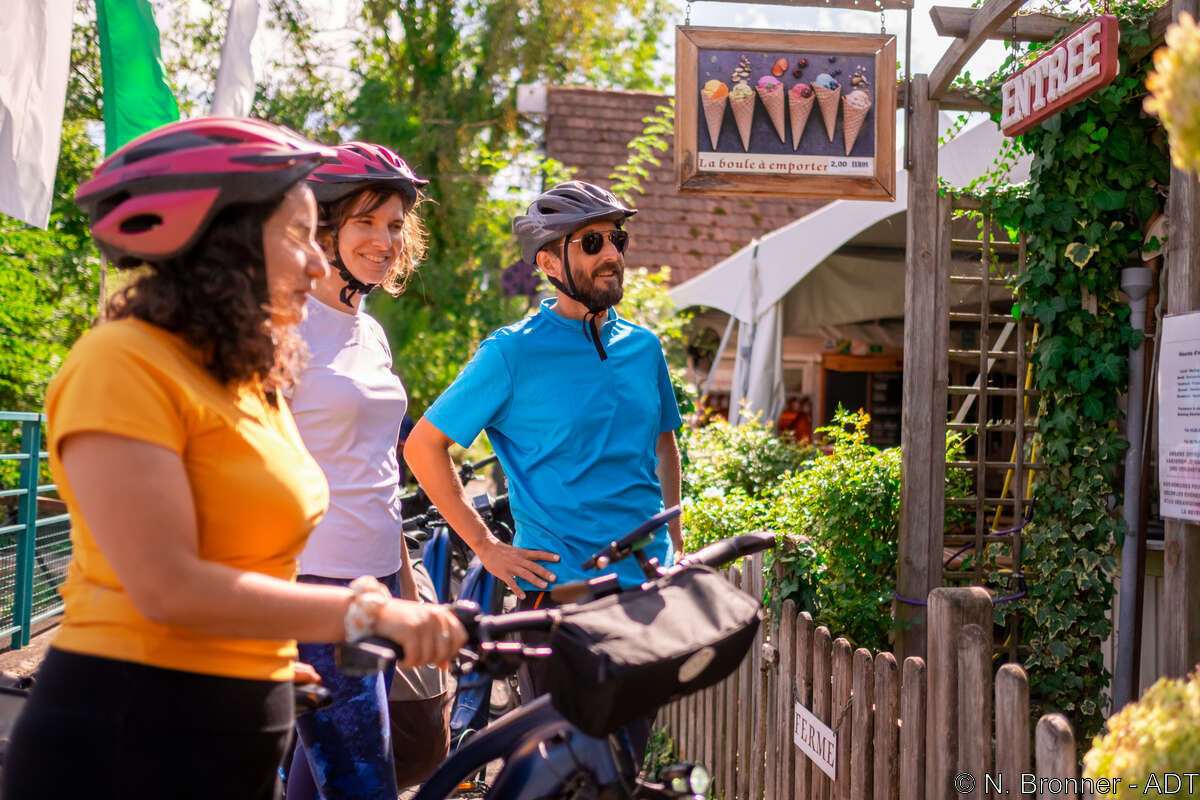
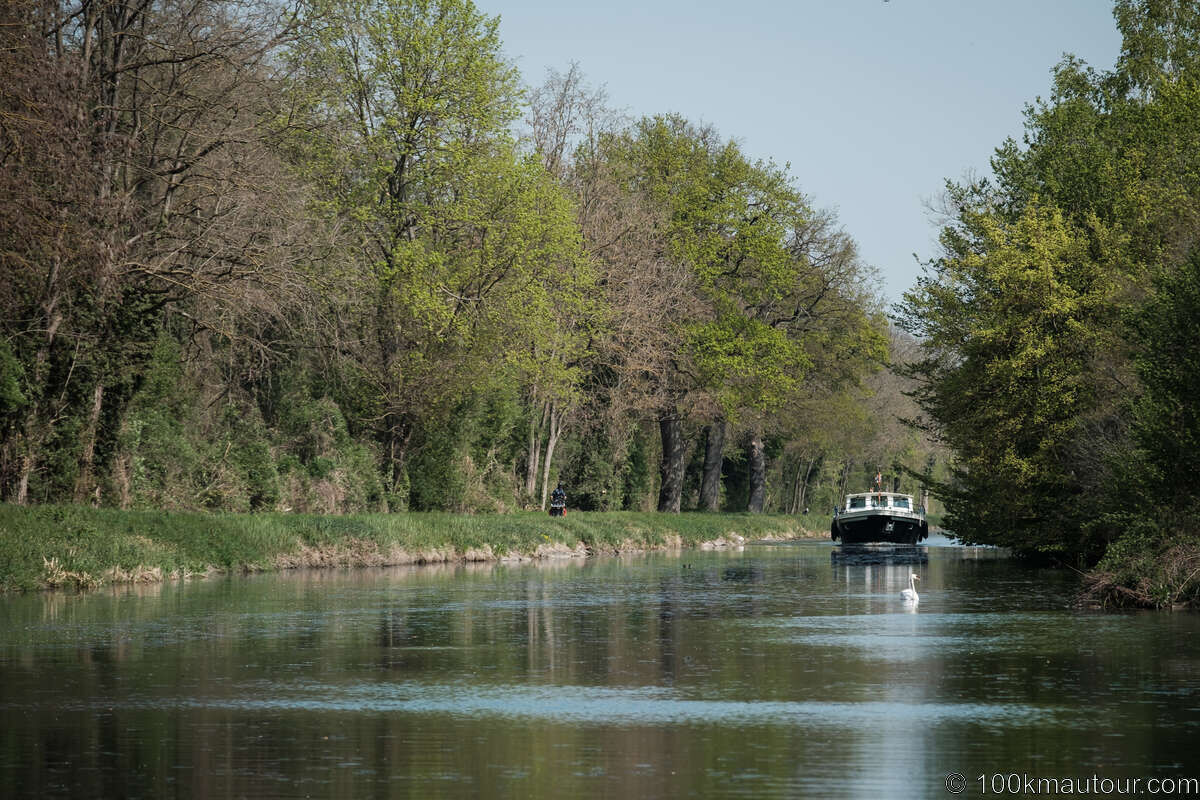
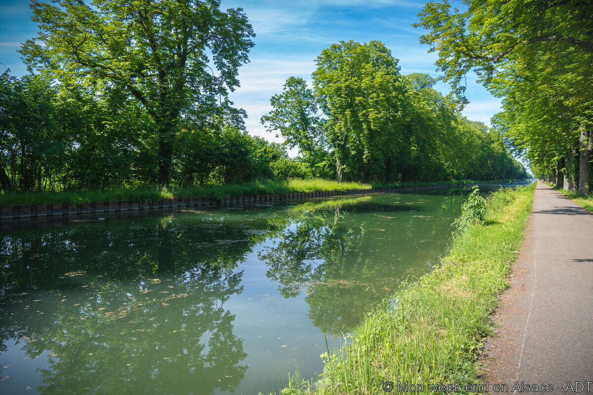
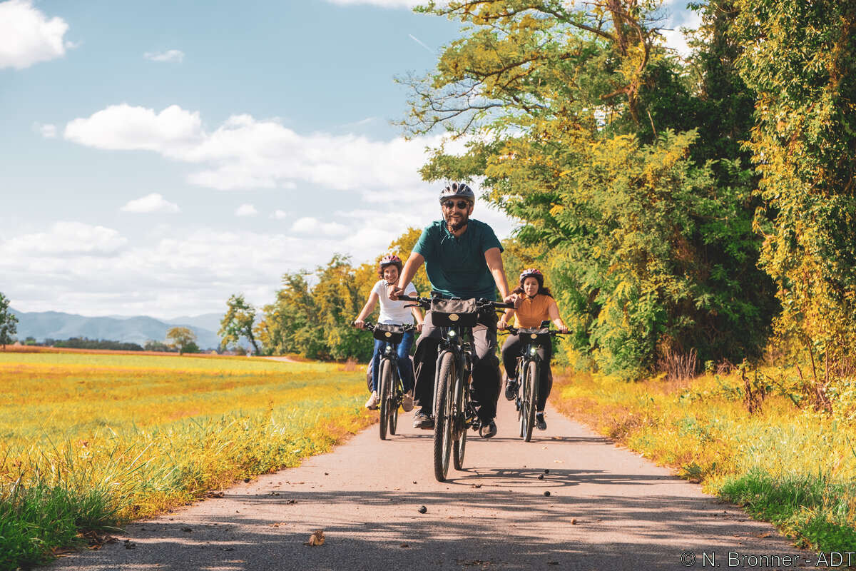
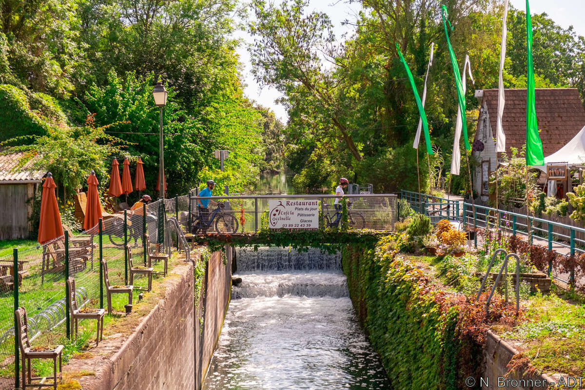
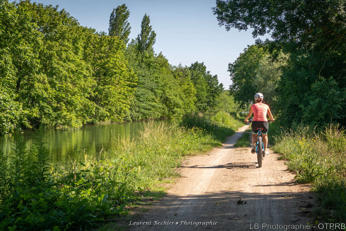
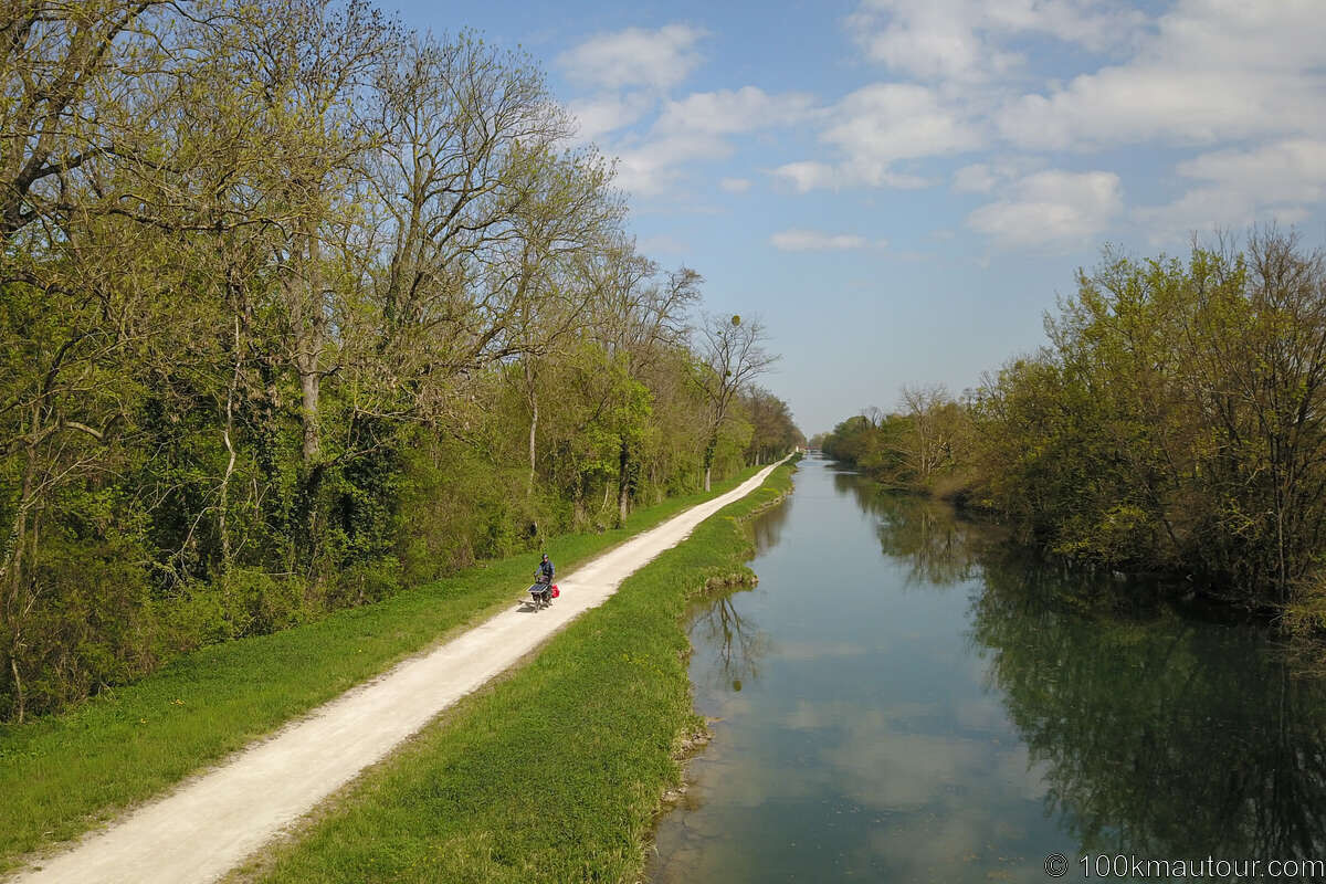
On this route of about thirty kilometers, you will follow the Rhône-Rhine canal through the forest, you will also cross several villages and can take a break at the restaurant "La Coccinelle," one of the...
On this route of about thirty kilometers, you will follow the Rhône-Rhine canal through the forest, you will also cross several villages and can take a break at the restaurant "La Coccinelle," one of the main attractions of this route.
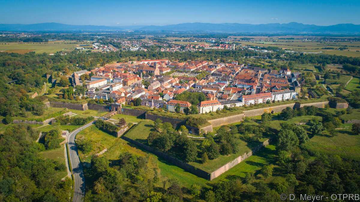

Step 1: Neuf-Brisach
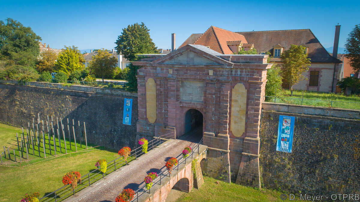
- Take the bike path towards Volgelsheim/Germany via the Strasbourg gate (just before the rails).
Step 2: Volgelsheim
- At the stop, turn left, cross the rails and follow the bike path towards Biesheim / Marckolsheim.
- At the next intersection turn left onto Edison street. At the end of the street cross the road and join the bike path towards Kunheim / Artzenheim which runs along the Rhône-Rhine canal.
Step 3: Kunheim
- Continue straight along the canal towards Artzenheim.
- At the intersection "Muntzenheim / Colmar - Artzenheim / Marckolsheim" stay heading towards Artzenheim on the right and go up the slope on the left towards the bridge. Cross the bridge, then at the end of the bridge turn right onto the bike path towards Artzenheim/Marckolsheim.
- Continue straight and follow the path along the canal, you arrive at the restaurant "La Coccinelle".
Step 4: Artzenheim
- Pass the restaurant, go under the bridge and turn left towards Artzenheim.
Bike repair station on the right
- At the D3 road turn left onto the bridge towards Artzenheim.
- At the roundabout, go straight ahead and cross the village following the Euro Velo 15 cycle signs (passing in front of the fire station), then follow the direction Baltzenheim.
Step 5: Baltzenheim
- Cross the village following the cycle signs towards Kunheim.
- Cross the D9.2 road and follow the cycle signs towards Kunheim.
Step 6: Kunheim
- Just before entering the village, turn left at the crossroads (cycle signs) and go up Rue des Champs.
- At the end of the street turn left, at the stop cross the road and follow the cycle signs towards Neuf-Brisach/Biesheim (Rue Ferdinand Beghin).
- Continue to the stop at the end of the street, then turn left onto the main street (cycle sign towards Biesheim / Neuf-Brisach).
- Cross the bridge to the end of the bike path sign then cross the road to join the bike path towards Biesheim / Neuf-Brisach along the Neuf-Brisach canal.
Step 7: Biesheim
- Follow the bike path towards Biesheim, cross the footbridge, pass the Jewish cemetery and continue to the entrance of the village.
- Cross the small parking lot, at the roundabout go straight ahead, pass the school and follow the cycle signs towards Volgelsheim / Neuf-Brisach.
- Continue then turn right just before the fire station (cycle signs) and go up Rue du Giessen.
- At the end of the street, just before the roundabout, follow the bike path to the left towards Volgelsheim / Neuf-Brisach.
Step 8: Volgelsheim
- At the end of the bike path, cross the roundabout, follow the bike path towards Neuf-Brisach to the right just after the rails then at the stop turn left to return to Neuf-Brisach - Place d'Armes.
Remember to bring good equipment: a helmet, enough water, a repair kit.
There is a self-repair station just after the restaurant La Coccinelle
Suitable for hybrid bikes
2 routes are possible for the return
Parking Place d'Armes in Neuf-Brisach
1
Ideally to do with family (possible stop halfway)
Oblíbené prohlídky v okolí
- 4.0
Romantische Wanderung ab Ihringen
středníTuristika 11.2 km Oberbergen - Katharinenkapelle - Schelinger Höhe - Badberg (Rundweg)
středníTuristika 10.9 kmKaiserstuhl / Lilienthal
světloTuristika 6.10 km- 3.0
Lössholwege und Hohlwege in der Eichgasse. Runde ab Achkarren.
středníTuristika 12.9 km - 5.0
Ihringen-Winzerrundweg West
středníTuristika 9.16 km - 5.0
Ihringen - Zur Lilie - Adlerhorstsattel - Evangelische Kirche
Turistika 13.7 km - 4.5
Vogtsburg - Bickensohler Lösshohlwege-Pfad
středníTuristika 7.39 km - 4.0
Bike loop from Neuf-Brisach to Breisach
světloJízda na kole 17.8 km Ihringen-Winzerrundweg Ost
světloTuristika 6.80 kmBadbergrunde
světloTuristika 3.20 km
Pěší turistika a stopování


Nenechte si ujít nabídky a inspiraci pro vaši příští dovolenou
Vaše e-mailová adresa byl přidán do poštovního seznamu.


