


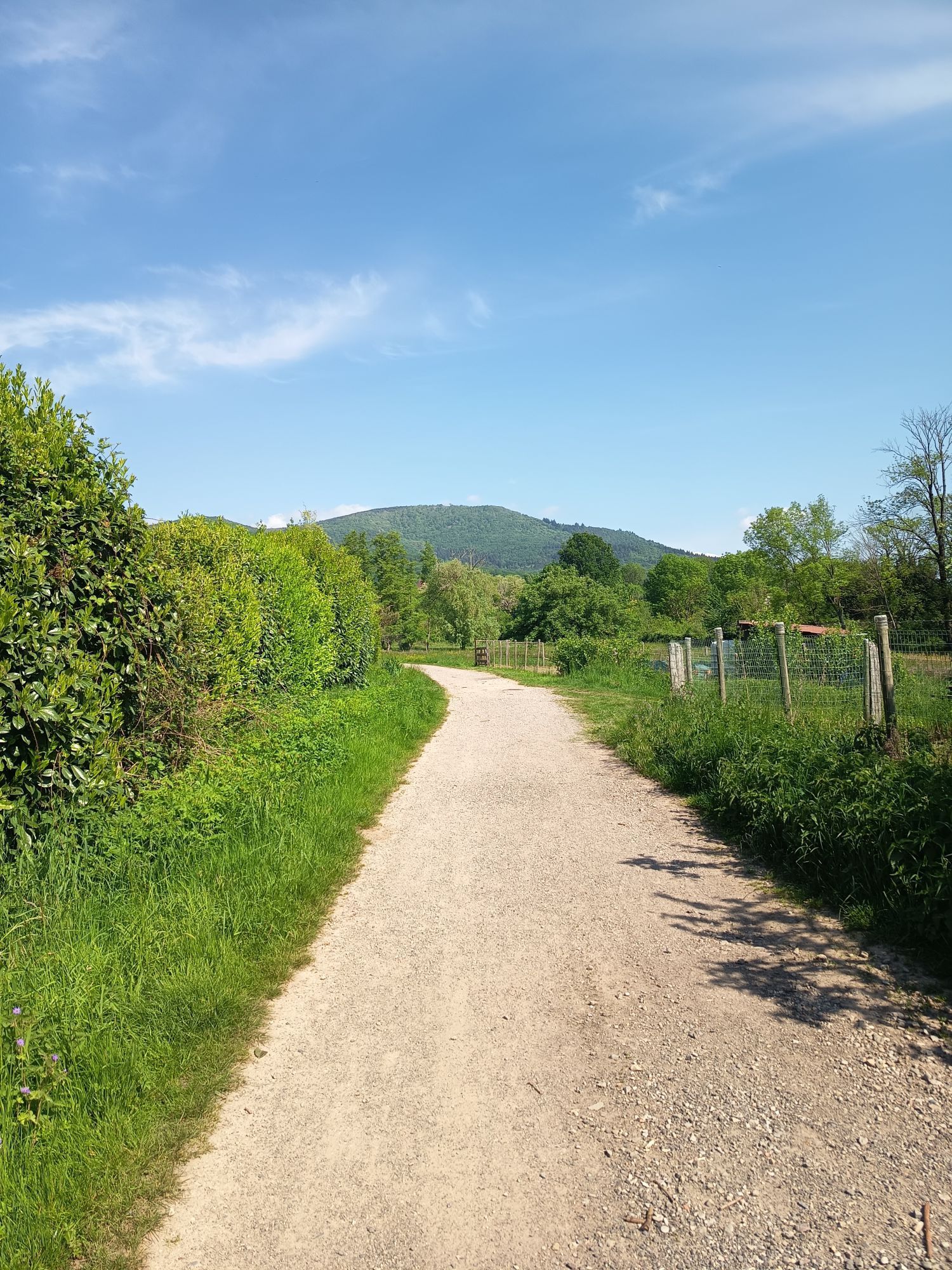
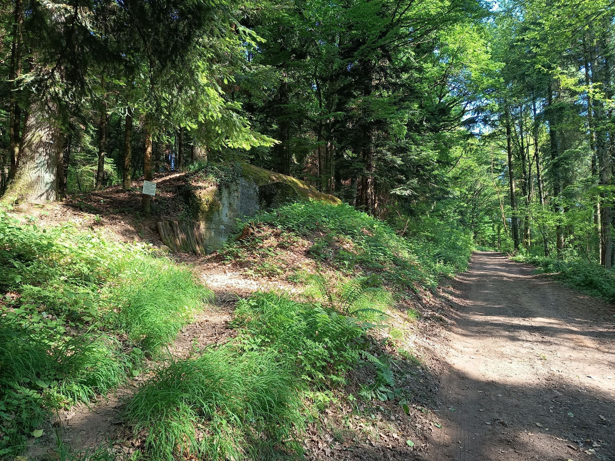
Mountain Bike route: Vosgian Foothills
Úroveň obtížnosti: S1
The first wine cellars reveal themselves on this route, a stop is a must, and it is also part of discovering the region!

This route is marked by the wine-growing villages of the Southern Gate of the Wine Route, accompanied by rows of vines and a view of the Alsace plain!
Wearing a helmet is strongly recommended
Safety instructions
Emergency number: 112
Mountain biking as you like! but…
Use marked trails for your safety and respect the direction of the routes
Do not overestimate your abilities and stay in control of your speed
Be careful and courteous when overtaking or crossing hikers as pedestrians have priority
Check the condition of your mountain bike and bring supplies and repair accessories
If you go alone, leave your route with someone you trust
Respect private property and cultivated areas
Beware of agricultural and forestry machinery
Close gates behind you
Avoid picking wild flowers, fruits, and mushrooms
Do not disturb the peace of wild animals
Take your trash with you, be discreet and respectful of the environment
Cernay
www.fluo.eu
free parking on site
S1
Thann-Cernay Tourist Office
Tel: 03 89 37 96 20
info@tourisme-thann-cernay.fr
www.tourisme-thann-cernay.fr
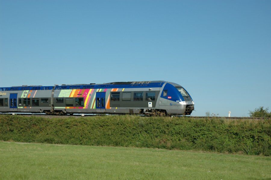
Accessible by train!
Oblíbené prohlídky v okolí
Grand Ballon route in 3 days
heavydálková pěší trasa 54,2 km- 4,0
Boucle du Grand Ballon de Goldbach-Altenbach, France
středníTuristika 14,7 km - 5,0
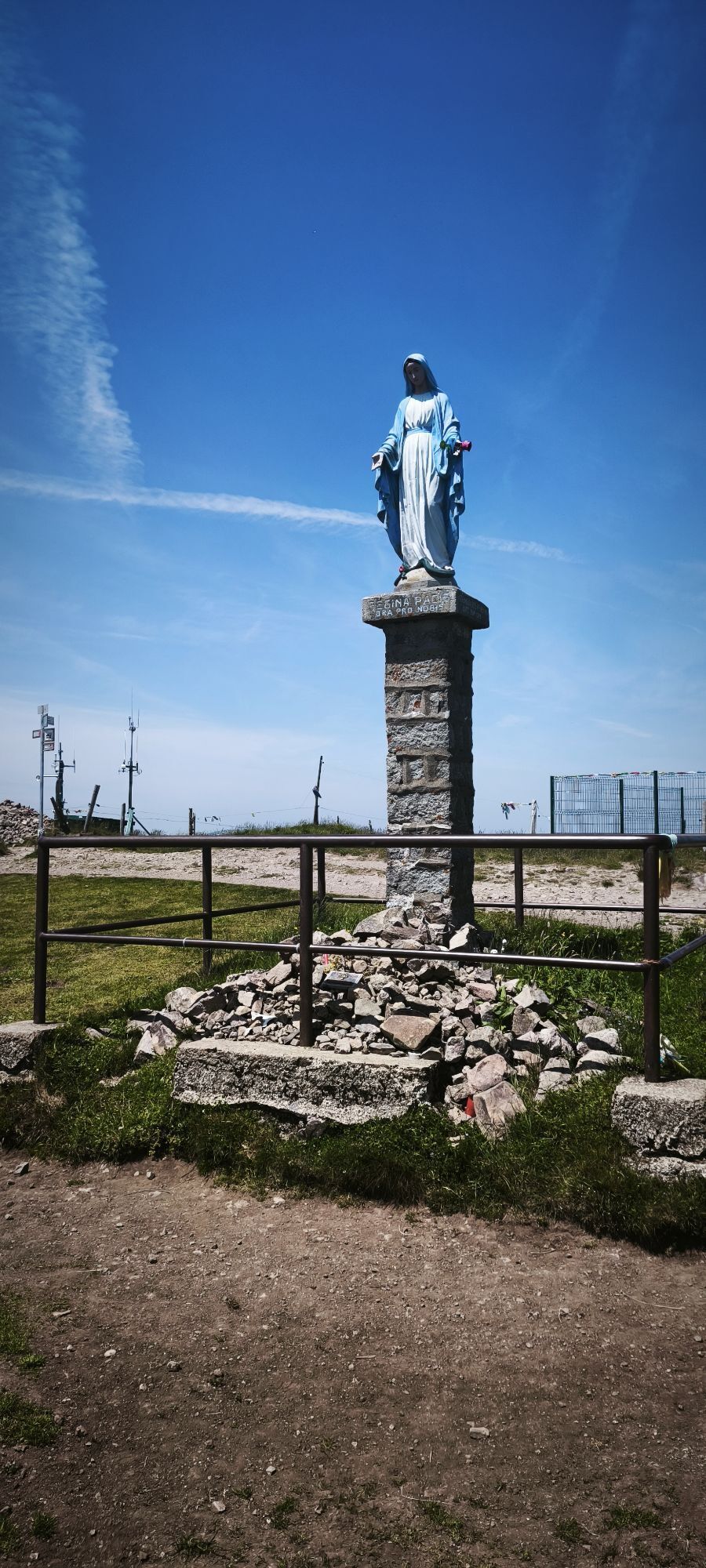
Visit of the Hartmannswillerkopf battlefield
světloTuristika 5,45 km The Thannerhubel at Bourbach-le-Haut
středníTuristika 7,32 kmCrossing of the Vosges Massif - Stage 16 - Le Markstein - Thann
heavydálková pěší trasa 28,0 kmHaag Farm-Inn walk "Between the shade of the beech woods and the light of the high pastures"
středníTuristika 5,83 kmFarm-Auberge Grand Ballon walk "Under the highest peak of the Vosges"
světloTuristika 5,16 kmWine trail of the Coteaux du vieil-Armand in Uffholtz
středníTuristika 5,60 kmGlashütte Farm-Inn Walk - Walk in the Belchenwald forest
středníTuristika 4,71 kmThe Belacker and Gsang MTB FFC route no. 22
středníMountainbike 36,7 km
Pěší turistika a stopování


Nenechte si ujít nabídky a inspiraci pro vaši příští dovolenou
Vaše e-mailová adresa byl přidán do poštovního seznamu.