Navigace na stránkách
Pořiďte si tuto prohlídku do mobilního telefonu
Mapa
Circuit of the Three Castles of the Alsatian Jura

střední
dálková pěší trasa
81.02 km
Naskenujte QR kód a spusťte navigaci v aplikaci bergfex.
QR Code
Pěší turistika a stopování

Circuit of the Three Castles of the Alsatian Jura

střední
dálková pěší trasa
Vzdálenost
81.0 km
Doba trvání
22:40 h
Ascent
2216 hm
Hladina moře
337 - 825 m

Úroveň obtížnosti: T2

Stažení skladby
Mapa
Circuit of the Three Castles of the Alsatian Jura
střední
dálková pěší trasa
81.02 km

It offers you the chance to recharge in the calming setting of a little-known and preserved region. Between hiking and discovery, the marked route takes the most beautiful paths and trails which will lead...

Popis

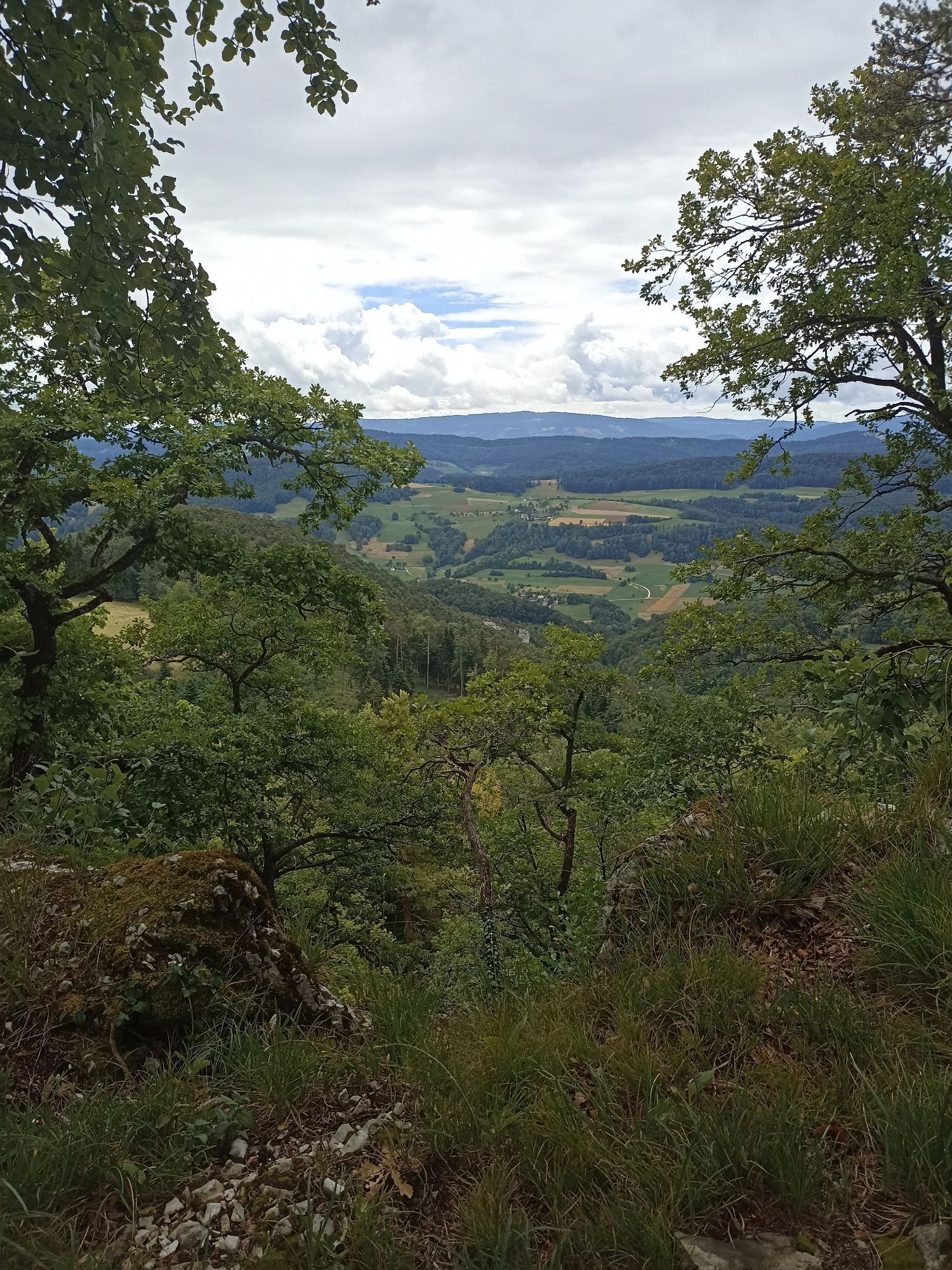
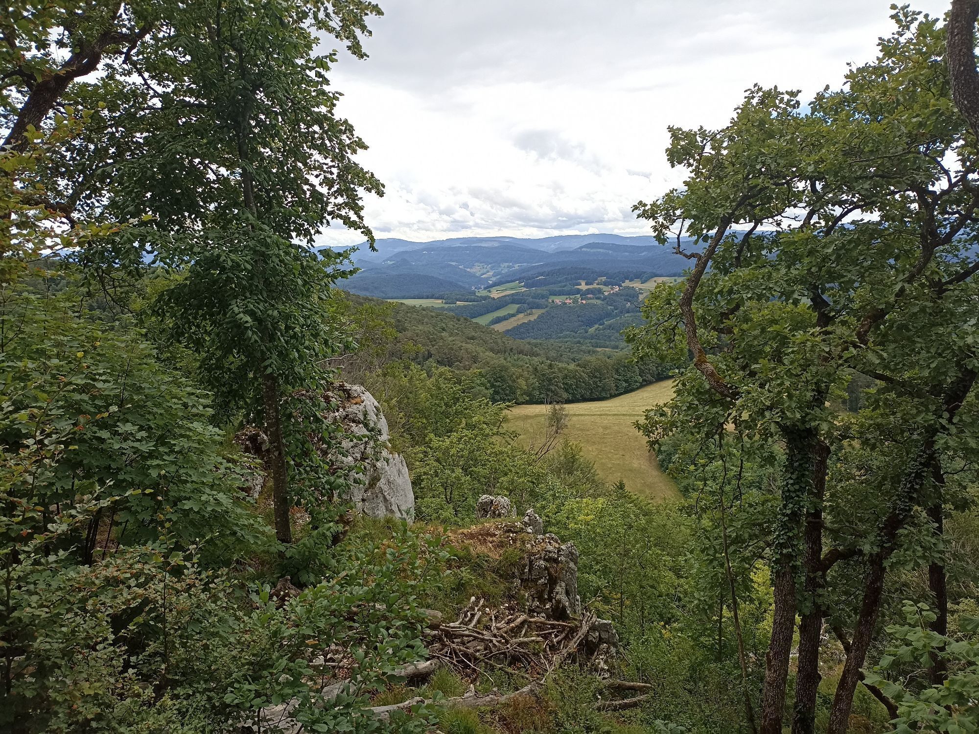
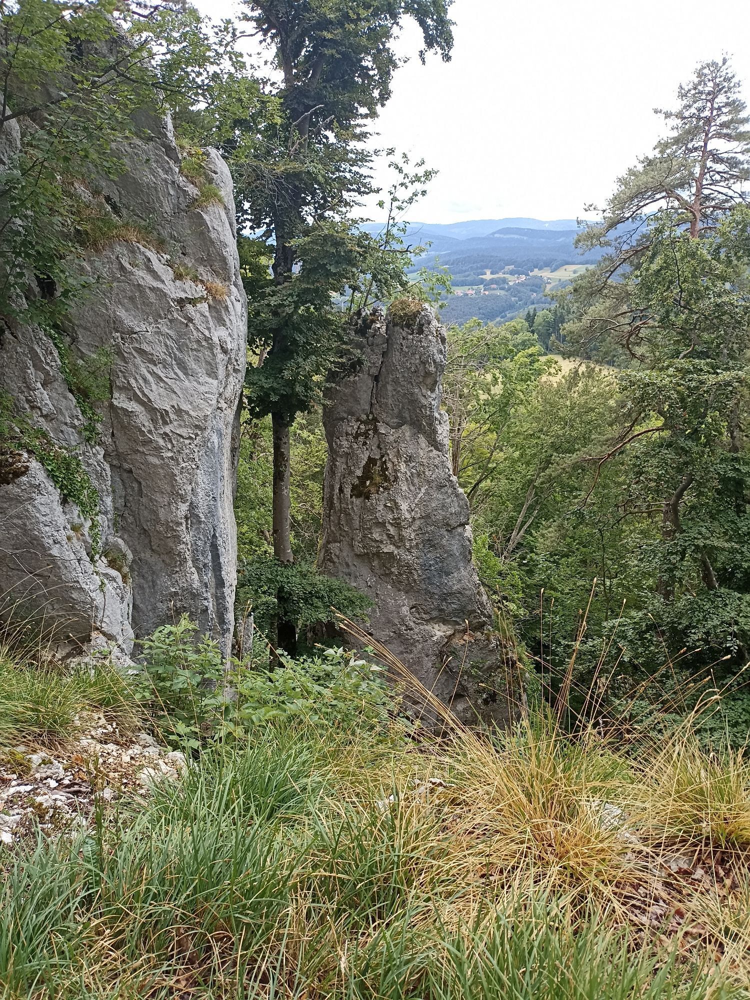
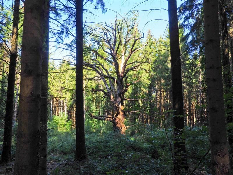
It offers you the chance to recharge in the calming setting of a little-known and preserved region. Between hiking and discovery, the marked route takes the most beautiful paths and trails which will lead you without much difficulty from one end to the other of this small piece of land forgotten by the frenzy and bustle around. The Alsatian Jura opens its doors to you, it is up to you to enter.
Trasa
Église Saint-Martin-Des-Champs
(411 m)
Místo konání bohoslužeb
11.6 km
Église Saint-Bernard-de-Menthon
(502 m)
Místo konání bohoslužeb
22.3 km
Rossberg
(675 m)
Summit
23.7 km
Chapelle Notre-Dame
(596 m)
Místo konání bohoslužeb
44.4 km
Signal du Glasberg
(788 m)
Summit
53.8 km
Naegeliberg
(694 m)
Summit
65.9 km
Landskronberg
(535 m)
Summit
79.7 km
Trasa
Mapa
Circuit of the Three Castles of the Alsatian Jura
střední
dálková pěší trasa
81.02 km
Église Saint-Léger
(357 m)
Místo konání bohoslužeb
0.1 km
Leymen
(366 m)
Vesnice
0.1 km
Im Letten
(394 m)
Koridor/terén
2.2 km
Chapelle Sainte-Walburge
(415 m)
Místo konání bohoslužeb
2.3 km
Heiligenbrunn
(414 m)
Vypořádání
2.4 km
Geberstell
(428 m)
Koridor/terén
8.1 km
Oltingue
(400 m)
Vesnice
10.6 km
Auessere Matten
(407 m)
Koridor/terén
11.2 km
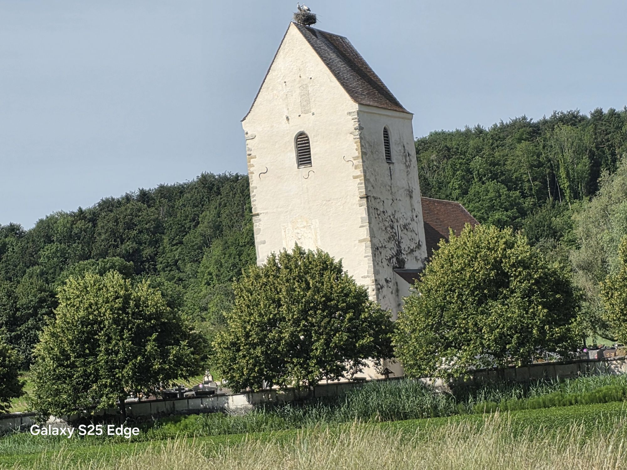
Église Saint-Martin-Des-Champs
(411 m)
Místo konání bohoslužeb
11.6 km
Bergaecker
(455 m)
Vypořádání
13.6 km
Raedersdorf
(433 m)
Vesnice
14.3 km
Église Saint-Martin
(528 m)
Místo konání bohoslužeb
16.5 km
Sondersdorf
(516 m)
Vesnice
16.6 km
Grotte des Nains
(573 m)
Vchod do jeskyně
19.0 km
Plateau des Nains
(606 m)
Úhel pohledu
19.3 km
Schloss
(574 m)
Koridor/terén
21.3 km
Haute Ville
(539 m)
Koridor/terén
21.9 km
Basse Ville
(498 m)
Koridor/terén
22.2 km
Église Saint-Bernard-de-Menthon
(502 m)
Místo konání bohoslužeb
22.3 km
Ferrette
(491 m)
Vesnice
22.4 km
Rossberg
(675 m)
Summit
23.7 km
Grotte du docteur Herrings
(618 m)
Vchod do jeskyně
25.1 km
Alte Ruet
(594 m)
Koridor/terén
25.6 km
Winkel
(564 m)
Vesnice
29.8 km
Église Saint-Laurent
(578 m)
Místo konání bohoslužeb
29.9 km
Source de l'Ill
(595 m)
Zdroj:
30.3 km
Sandgrube
(616 m)
Koridor/terén
30.8 km
Mimung
(681 m)
Koridor/terén
31.5 km
Louis Ritt
(692 m)
Koridor/terén
32.5 km
Source de la Largue
(545 m)
Zdroj:
34.9 km
Église Saint-Martin
(536 m)
Místo konání bohoslužeb
35.4 km
A la couronne
(523 m)
Restaurace
35.5 km
Oberlarg
(524 m)
Vesnice
35.5 km
Aumatten
(507 m)
Koridor/terén
36.2 km
Hameau du Morimont
(544 m)
Vypořádání
38.8 km
Les Ébourbettes
(715 m)
Vypořádání
41.3 km
Petit Scholis
(654 m)
Vypořádání
43.5 km
Le Grand Scholis
(654 m)
Vypořádání
43.7 km
Lucelle
(599 m)
Vesnice
44.2 km
Chapelle Notre-Dame
(596 m)
Místo konání bohoslužeb
44.4 km
Lucelle
(595 m)
Vypořádání
44.4 km
Dielenrain
(635 m)
Koridor/terén
45.1 km
Saegergraben
(659 m)
Koridor/terén
46.0 km
Saegerkopf
(665 m)
Koridor/terén
47.4 km
Col du Neuneich
(730 m)
Horský průsmyk
52.7 km
Signal du Glasberg
(788 m)
Summit
53.8 km
Faellen
(503 m)
Koridor/terén
59.5 km
Saegmaettle
(473 m)
Koridor/terén
60.2 km
Bei der Saege
(460 m)
Koridor/terén
60.4 km
Vordere Saegaecker
(454 m)
Koridor/terén
60.8 km
Lutter
(440 m)
Vesnice
61.4 km
Bergaecker
(472 m)
Koridor/terén
62.4 km
Lehliaecker
(499 m)
Koridor/terén
62.7 km
Lange Matten
(613 m)
Koridor/terén
64.6 km
Naegeliberg
(694 m)
Summit
65.9 km
Remel
(832 m)
Summit
68.3 km
Rittimatte
(621 m)
Koridor/terén
69.8 km
Burg im Leimental
(477 m)
Vesnice
71.2 km
Biederthal
(397 m)
Vesnice
72.7 km
Jura
(513 m)
Restaurace
76.8 km
Mariastein
(515 m)
Vesnice
76.9 km
Annakapelle
(517 m)
Místo konání bohoslužeb
77.7 km
Heulenhof
(533 m)
Koridor/terén
78.1 km
Hameau de Tannenwald
(484 m)
Vypořádání
78.7 km
Flüh
(390 m)
Vesnice
78.9 km
Landskronberg
(535 m)
Summit
79.7 km
Chapelle des Âmes-du-Purgatoire
(406 m)
Místo konání bohoslužeb
80.7 km
Am Steinweg
(396 m)
Koridor/terén
80.7 km
Leymen
(366 m)
Vesnice
81.0 km
Informace o prohlídce

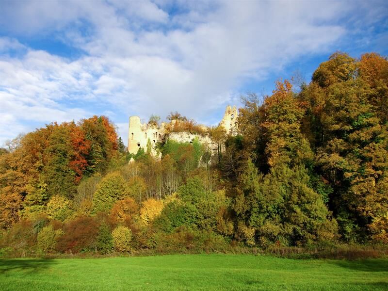
This marked hiking route of 80 km crosses the Alsatian Jura mountains and uses as a guide the three castles in the area (Ferrette, Morimont in Oberlarg, and Landskron in Leymen).

Technologie
2 / 6
Stav
2 / 6
Krajina
6 / 6
Zkušenosti
6 / 6
Nejlepší roční období
Led
Úno
Bře
Dub
Kvě
Čen
Čec
Srp
Zář
Říj
Lis
Pro
Sdílet prohlídku
Mapa
Circuit of the Three Castles of the Alsatian Jura
střední
dálková pěší trasa
81.02 km
Chyba
Došlo k chybě. Zkuste to prosím znovu.
Informace o trase
Trasa

Possible departure from Morimont castle in Oberlarg.

2 departure options

1/ Leymen - Ferrette - Petit Kohlberg - Lutter - Leymen

2/ Morimont - Lutter - Leymen - Ferrette - Morimont

Find the detailed route here (part 1)

Find the detailed route here (part 2)

Vybavení

Recommended equipment

Clothing suitable for the season and conditions (cold, hot, humid…)

Hiking shoes suited to the terrain (even for children!)

Telescopic poles (useful for stability and to relieve joints)

Mobile phone and spare battery if needed

Bezpečnostní pokyny

In case of problem

Call 112 (European emergency number)

5 key points to give your alert:

Where? town, place, route, altitude

Who? identity, phone number

What? type of accident, number of victims, severity, fall dynamics

When? time of accident Weather? wind, visibility

Informace o příjezdu
Příjezd

Ferrette (68)

Veřejná doprava

www.fluo.eu

At Leymen (Town Hall), access by public transport via tram from Basel station

Parkování

Free parking on site

Další informace a tipy
Úroveň obtížnosti

T2

Další informace

SUNDGAU TOURIST OFFICE

13 rue du Château

68130 Altkirch

Phone: 03 89 40 02 90

info@sundgau-sudalsace.fr

www.sundgau-sudalsace.fr

Detailed route guide available upon simple request from the tourist office.

Tipy

A complete route guide details the entire route.

Feel free to request it directly from the Tourist Office, it will be sent to you by email in PDF format or by postal mail.

Pěší turistika a stopování

Pěší turistika a stopování

Pěší turistika a stopování
Více než 550.000 návrhů výletů, podrobné mapy a intuitivní plánovač tras dělají z aplikace nezbytnou výbavu pro všechny milovníky přírody.
bergfex