


Skrlanka Circular Route
An easy circular route near the village of Skrilje takes the hiker through a characteristic landscape into unspoiled nature, to a distinctive, carefully protected water spring, and back to the village....
An easy circular route near the village of Skrilje takes the hiker through a characteristic landscape into unspoiled nature, to a distinctive, carefully protected water spring, and back to the village. It runs at the foot of the Trnovo Plateau and can be an excellent starting point for climbs to Mala gora, Äaven, and Kucelj.
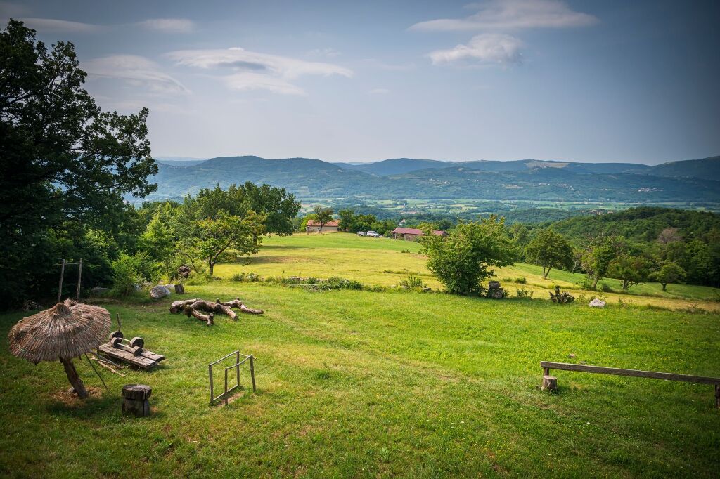
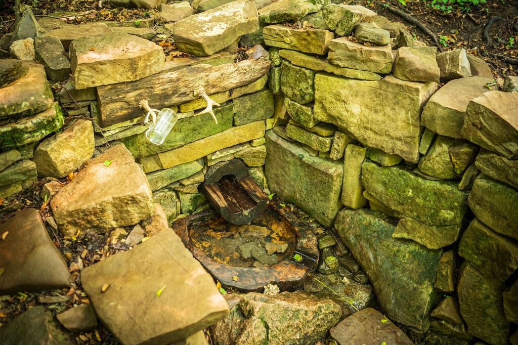
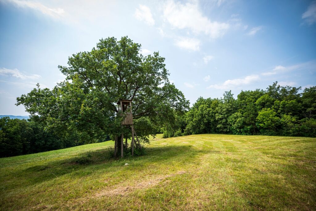
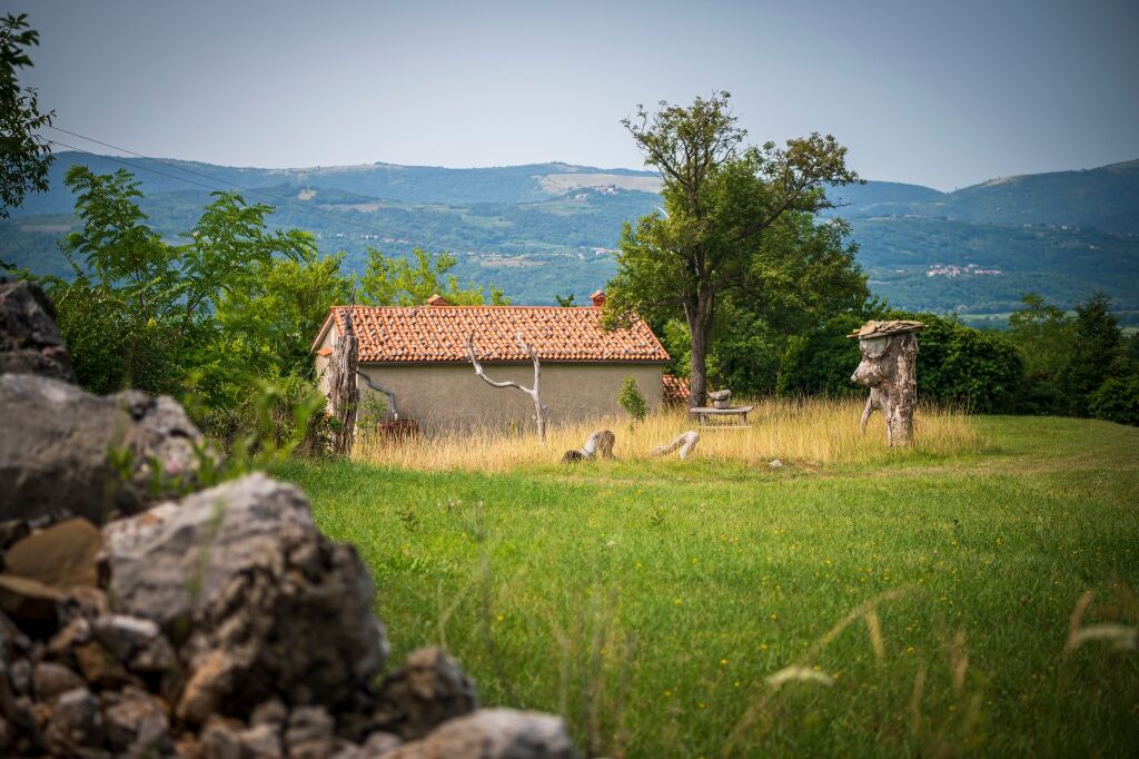
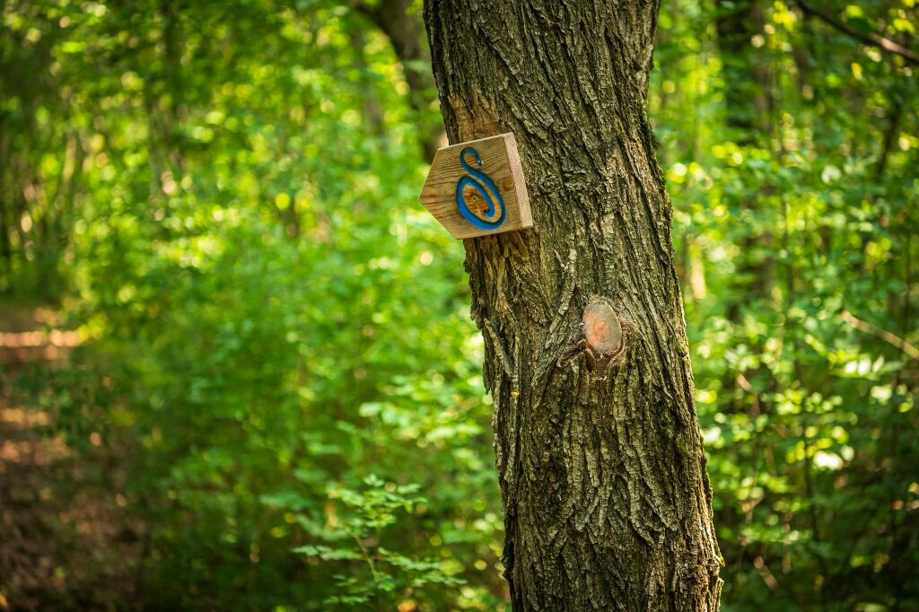
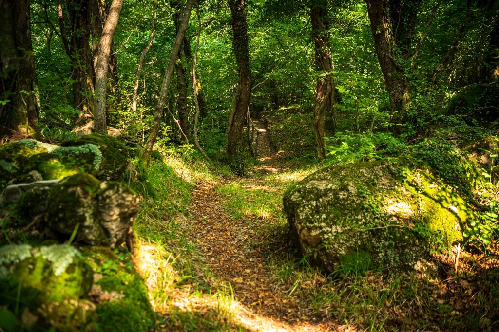
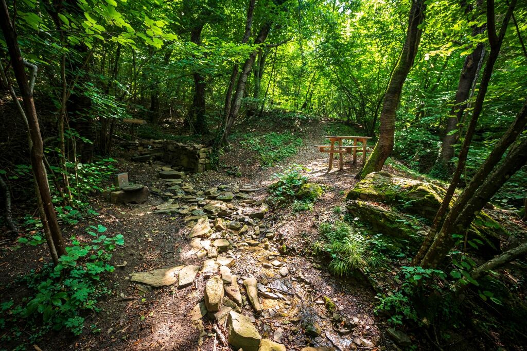
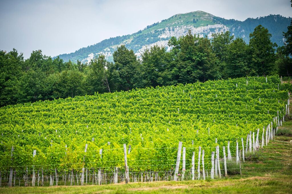
The Skrlanka hiking path begins in the village of Skrilje at a crossroads about 150 meters west of the church, where a grassy track branches off from the asphalt. The path leads over a small bridge and then turns right into the forest. After leaving the small forest, you reach the point where the circular route starts. We constantly follow the markings that lead us in the direction of the village Stomaž. The path is mostly moderately flat, sometimes steeper, and the surroundings are diverse – from forest, through meadows, to cultivated land. The destination of the route is a maintained spring, which locals call "Skrlanski zvirk," where there is also a guestbook. From here, the markings lead us along a comfortable trail to a meadow where the path starts descending towards Skrilje. Throughout, a diverse and unspoiled nature accompanies us. The path is easy, suitable for walking in all seasons. If desired, the hike can be extended by climbing Äaven, Mala gora, or Kucelj.
Ano
Hiking boots and hiking poles
No special features

Oblíbené prohlídky v okolí
- 3.7
Trail to the natural stone bridge Skozno
světloTuristika 5.62 km - 4.0
Přírodní okno Otlica
středníTuristika 10.5 km Gradiška Tura (via ferrata) – Abram
heavyVia ferrata 11.9 km- 5.0
Edge route
světloTuristika 14.5 km Educational Trail along the River Hubelj
světloTuristika 3.79 kmCarsus Trail - a long-distance trail through the Karst region of Slovenia and Italy
střednídálková pěší trasa 102.2 kmCyklostezka - Brda, Vipavské údolí, Kras
heavyJízda na kole 93.3 km- 2.0
The Upper Vipava Valley
světloJízda na kole 34.2 km On Vertovec's paths
světloTuristika 17.7 kmVitovlje circular hiking trail
středníTuristika 7.80 km
Pěší turistika a stopování


Nenechte si ujít nabídky a inspiraci pro vaši příští dovolenou
Vaše e-mailová adresa byl přidán do poštovního seznamu.