


Juliana SkiTour 4a - Rušnati vrh (1915 m), a test for the brave
The descent from Rušnati vrh, if we decide to descend via the saddle between Planja Peak and Rušnati vrh, is one of the most interesting in the ridge of the Bohinj-Tolmin mountains. The beginning of the...
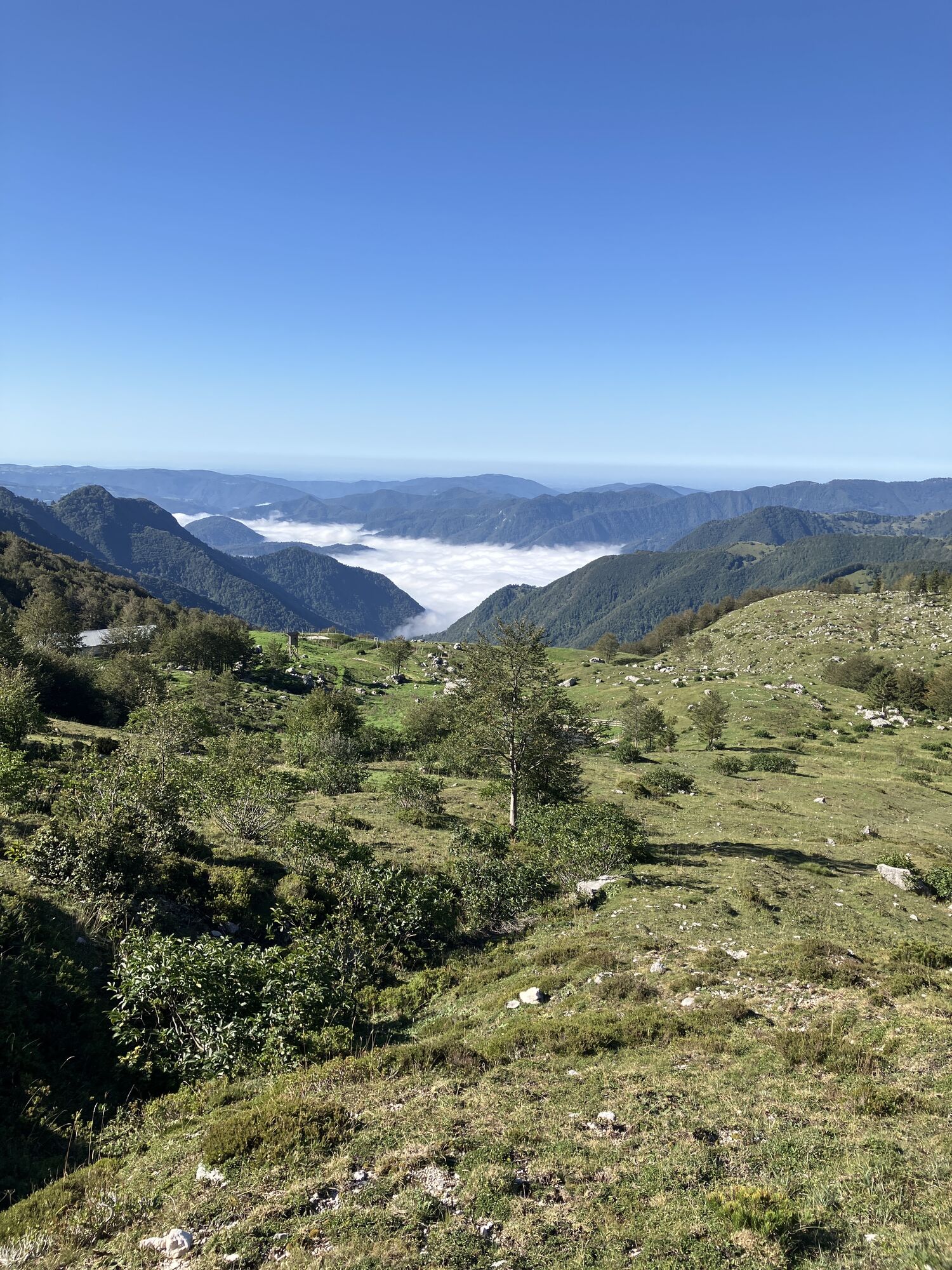
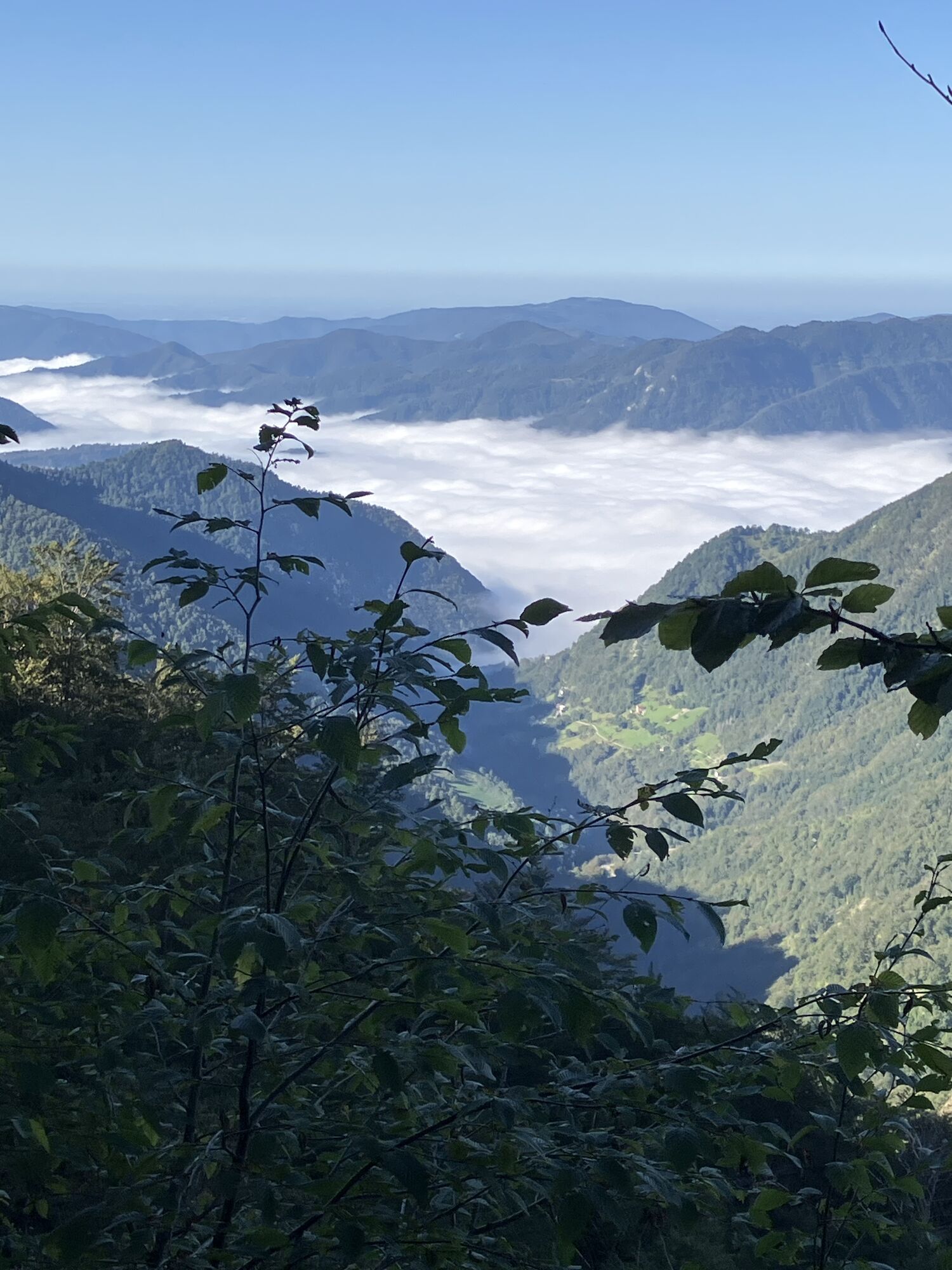
The descent from Rušnati vrh, if we decide to descend via the saddle between Planja Peak and Rušnati vrh, is one of the most interesting in the ridge of the Bohinj-Tolmin mountains. The beginning of the descent from the saddle is very steep, then gradually eases and leads into gentler slopes of an indistinct cirque below the Globoko pass. From the edge of the cirque, the ski line tightens again across a narrow and steep strip into a first steep, then increasingly gentler gully that empties onto the wide meadows of the Razor pasture.
At the top, a easier descent option can also be chosen.


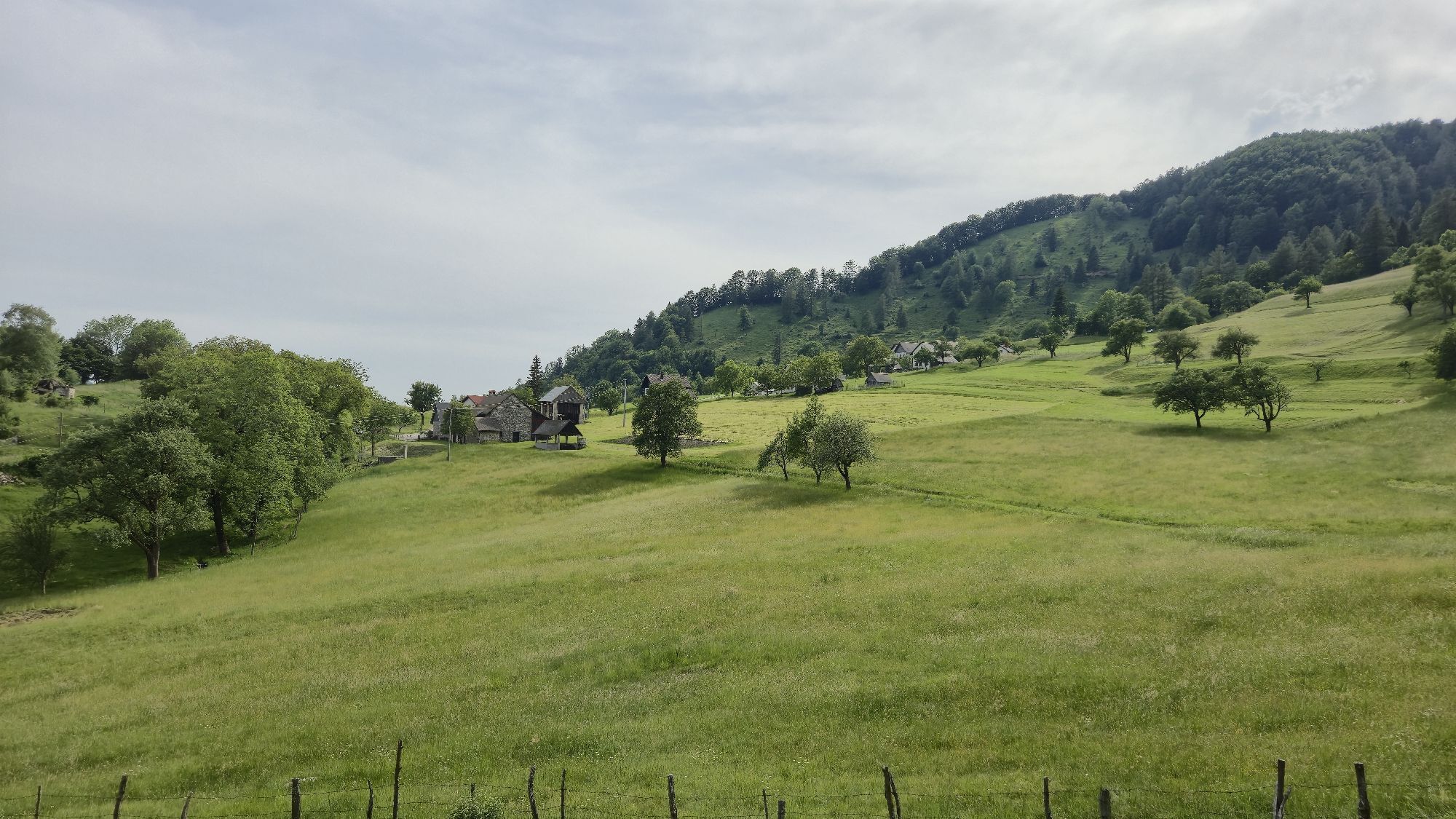
We take the gondola to the upper station at Rjava Skala (1535 m) from where we have a magnificent view of Lake Bohinj and the peaks around it.
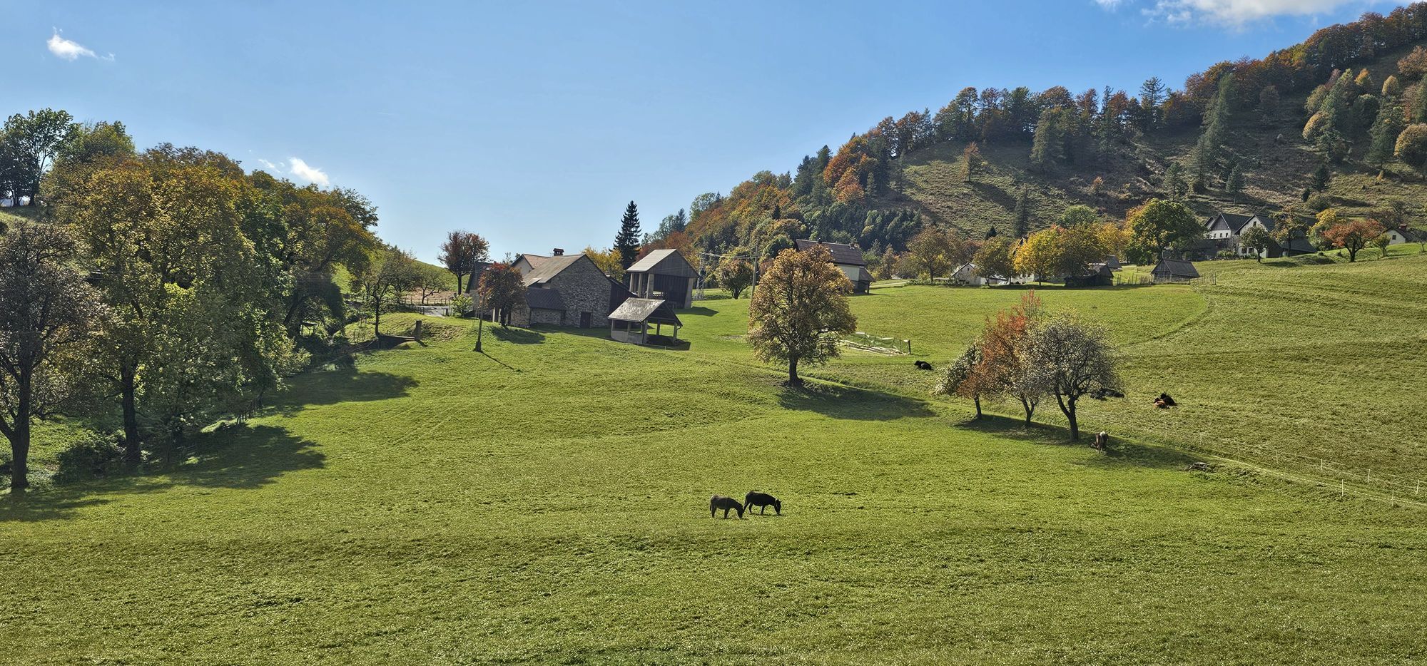
Immediately in front of the hotel, by the cabins, we descend right down the ski slope which leads us to our real starting point – the Zadnji Vogel pasture (1413 m).
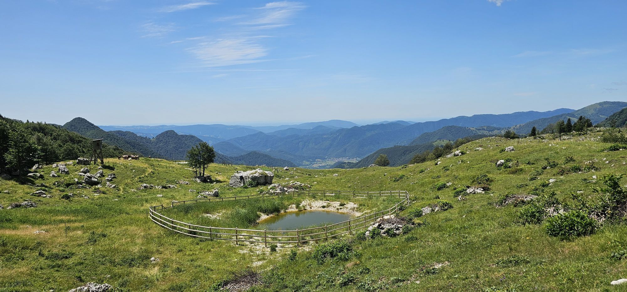
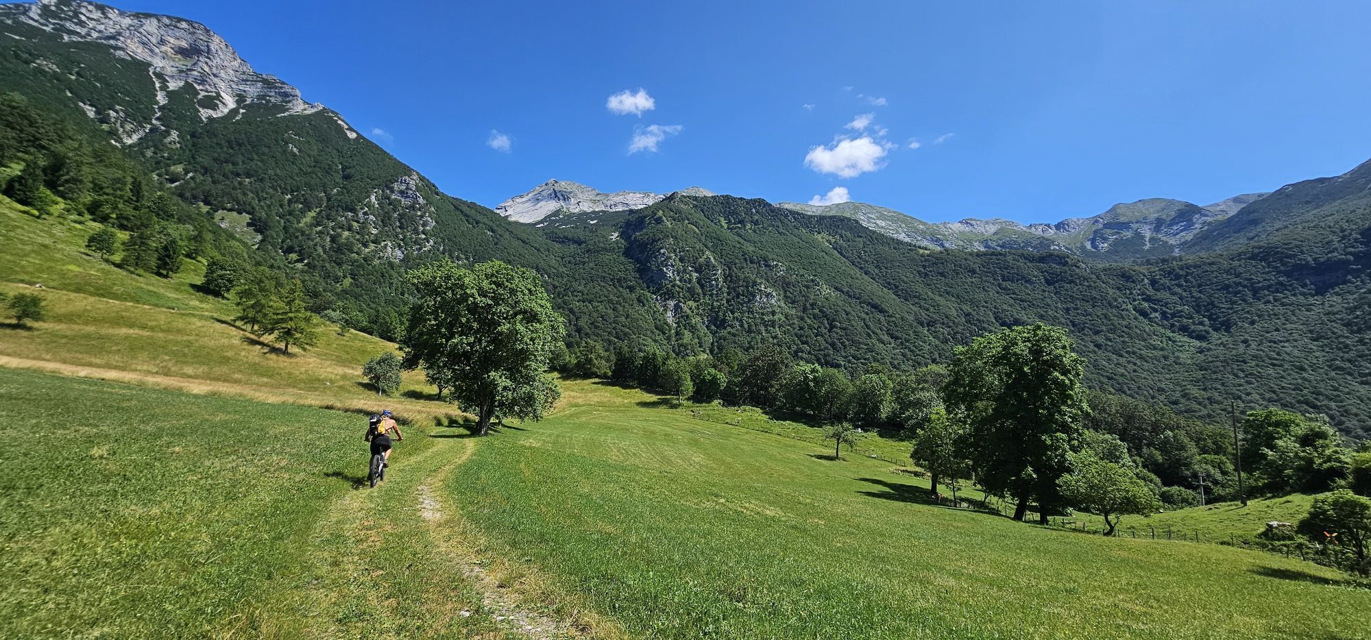
From the pasture, we follow the signs of the famous Triglav ski trail, which also starts here. First slightly downhill into the first valley, then onwards in a gentle ascent across rounded slopes through beech forest towards the west to the former Kal pasture. We are at the end of the Žagarjev graben valley, which drops down below us all the way to Lake Bohinj.
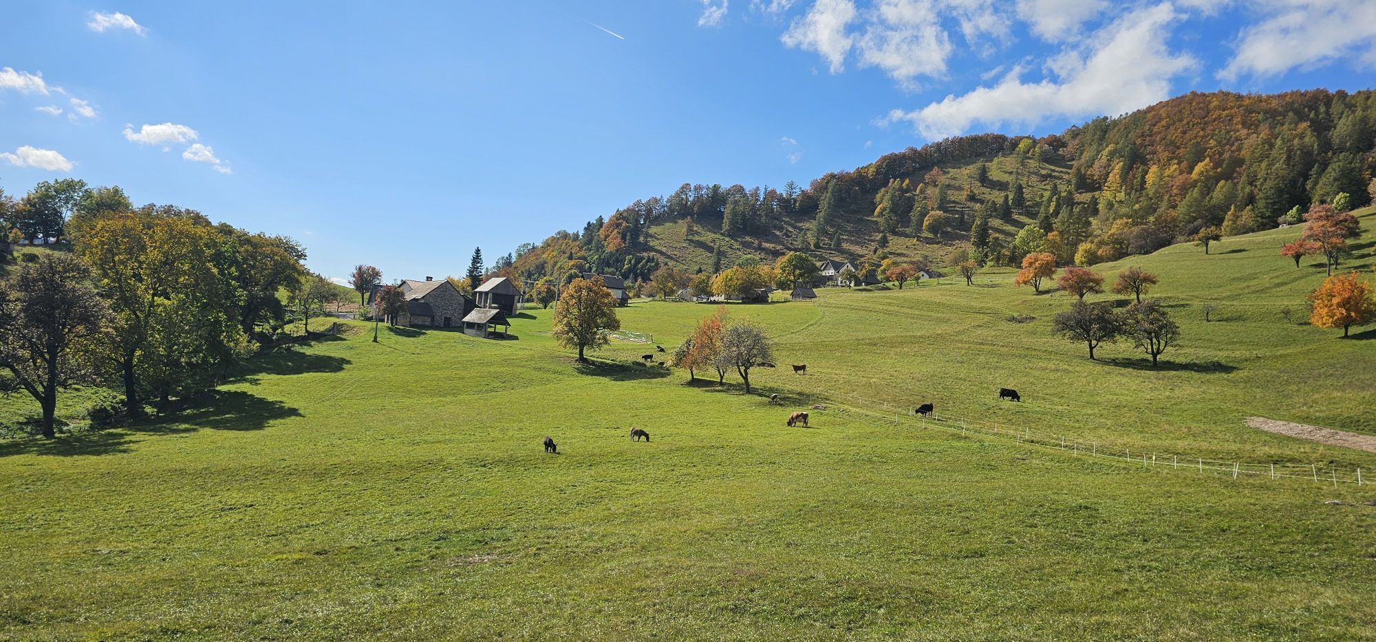
From the pasture, we first climb steeply and then more gently up to the first saddle on the right. The signs of the Triglav trail continue from here into a deep hollow and further to Konjsko sedlo (saddle), but we leave the trail and head straight up towards the ridge.
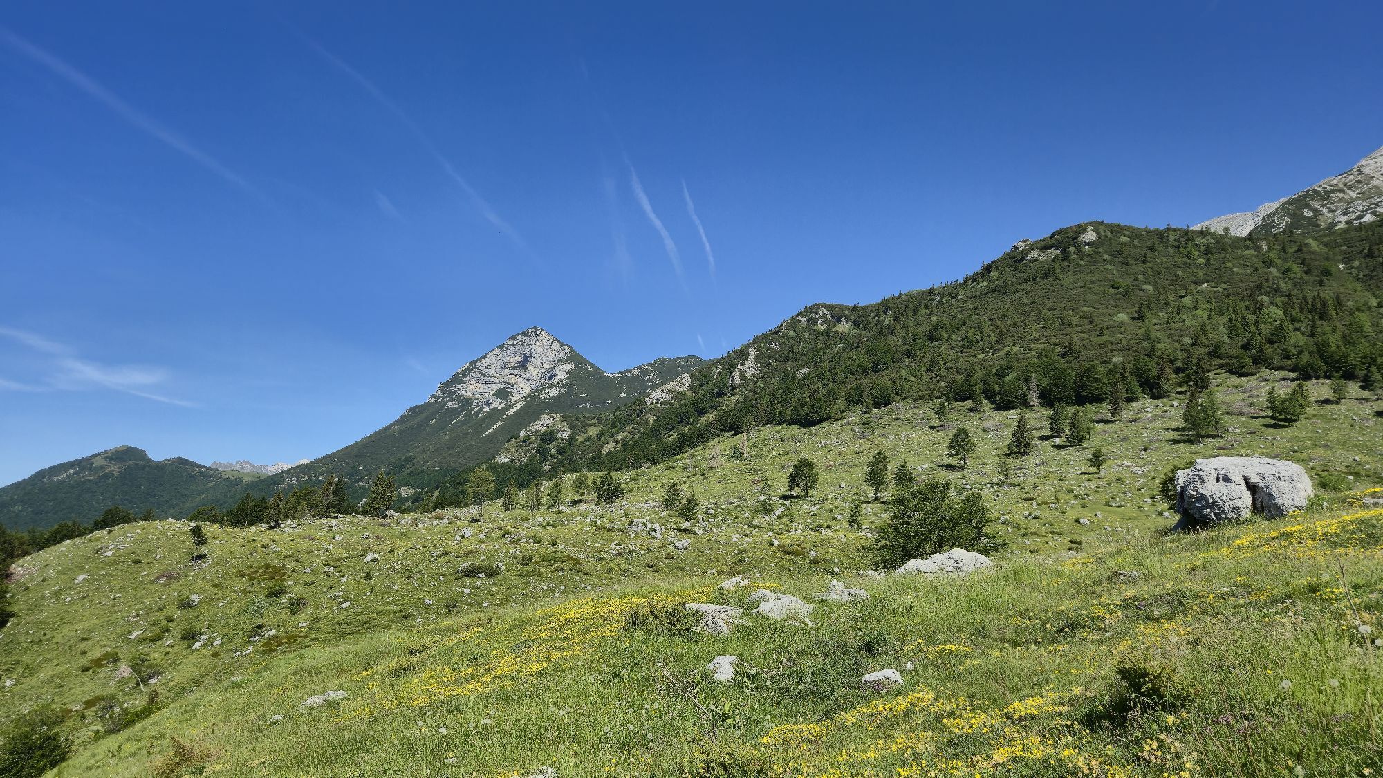
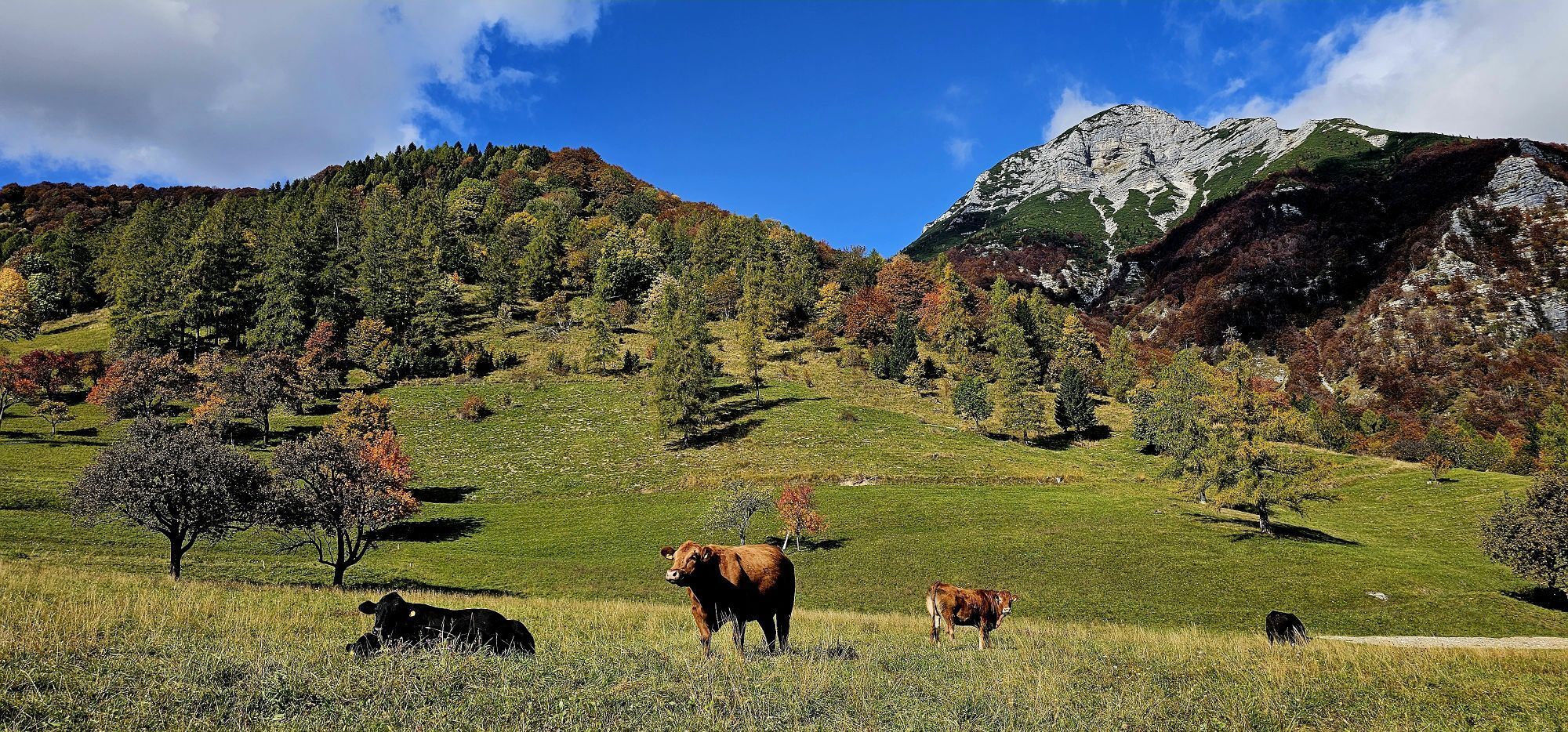
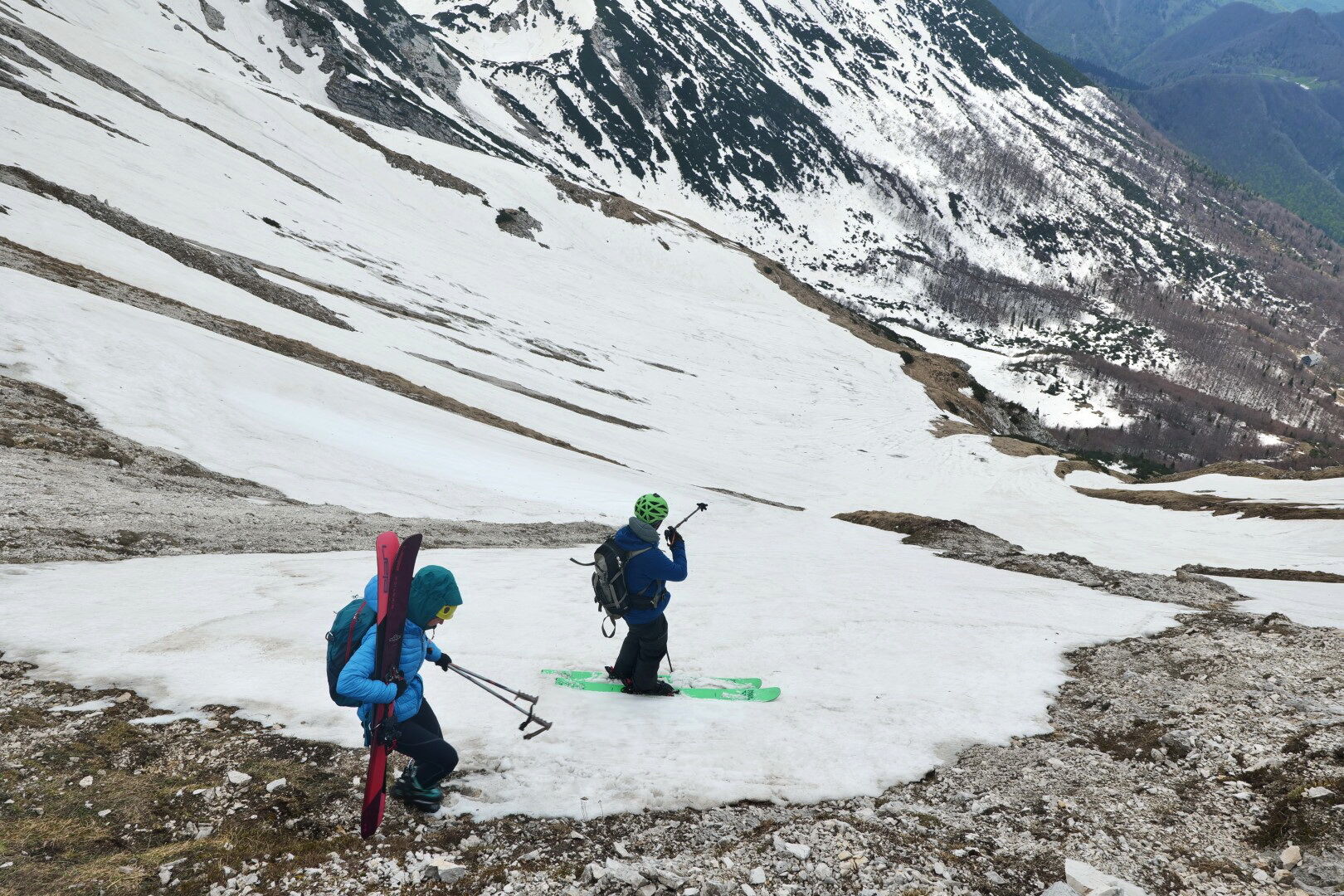
We first overcome a steep step and catch a clear ridge rising towards the peak of Planja. We follow it to an indistinct hollow just below the summit. On the right side of the hollow, we find a passage to the ridge and on the other side steep slopes towards the Razor pasture open up. We descend along the ridge to the lowest point of the saddle (1800 m) between Planja Peak and the neighboring Rušnati vrh (Rušnati Peak).
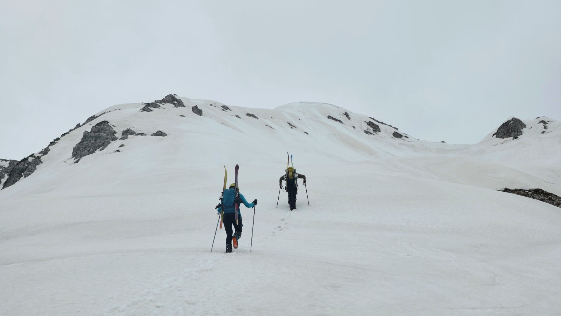
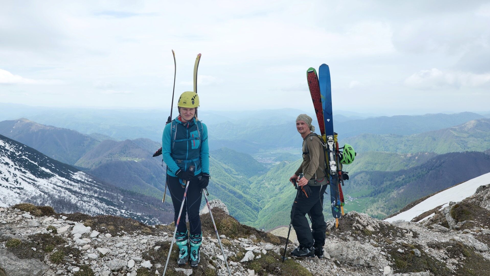
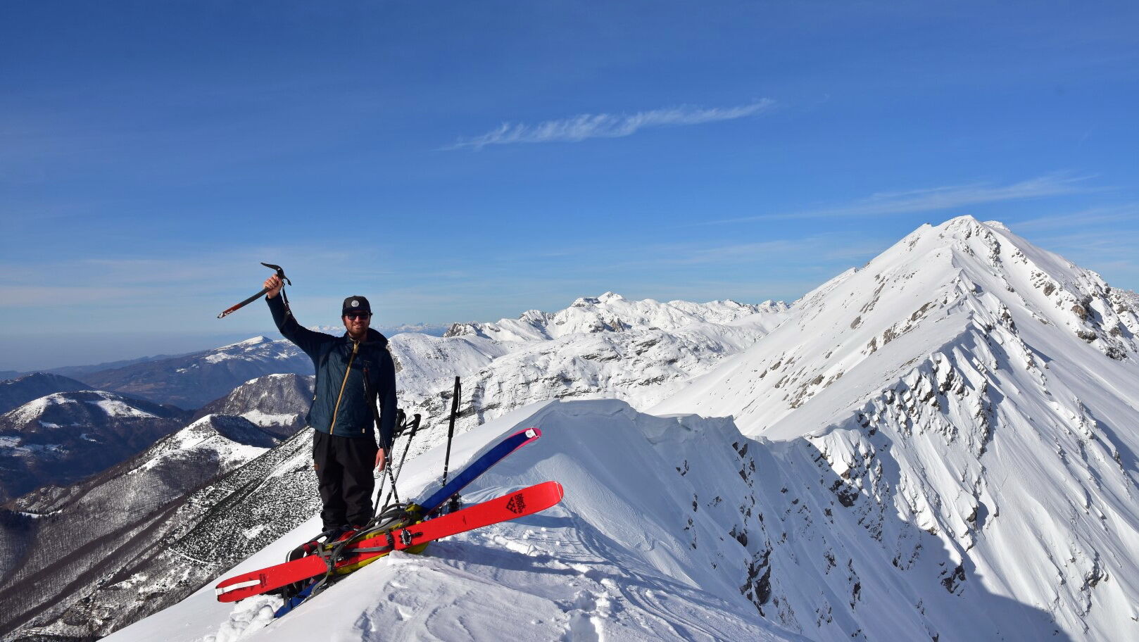
We continue along the ridge for a further hundred vertical meters to the summit of Rušnati vrh (1915 m). The magnificent view here also makes up for the calories spent on the final ascent.
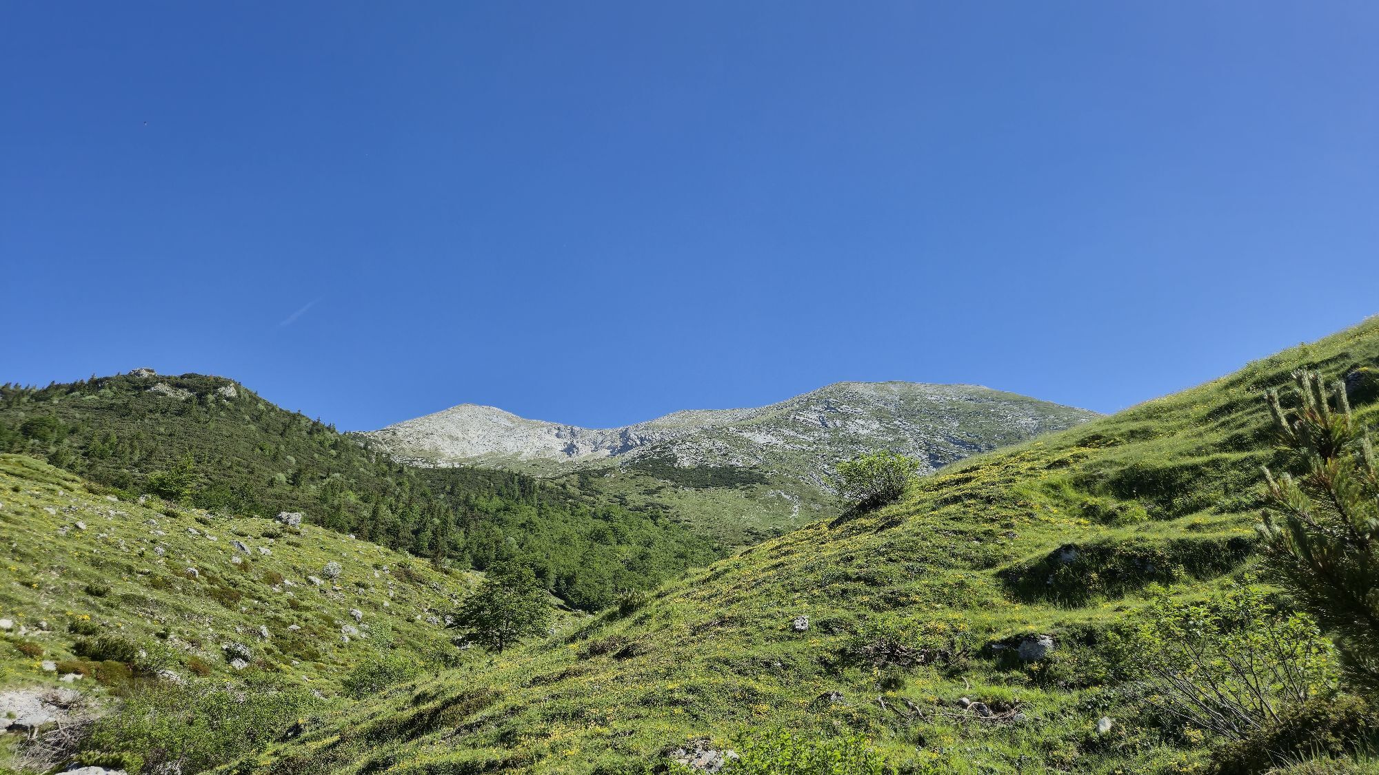
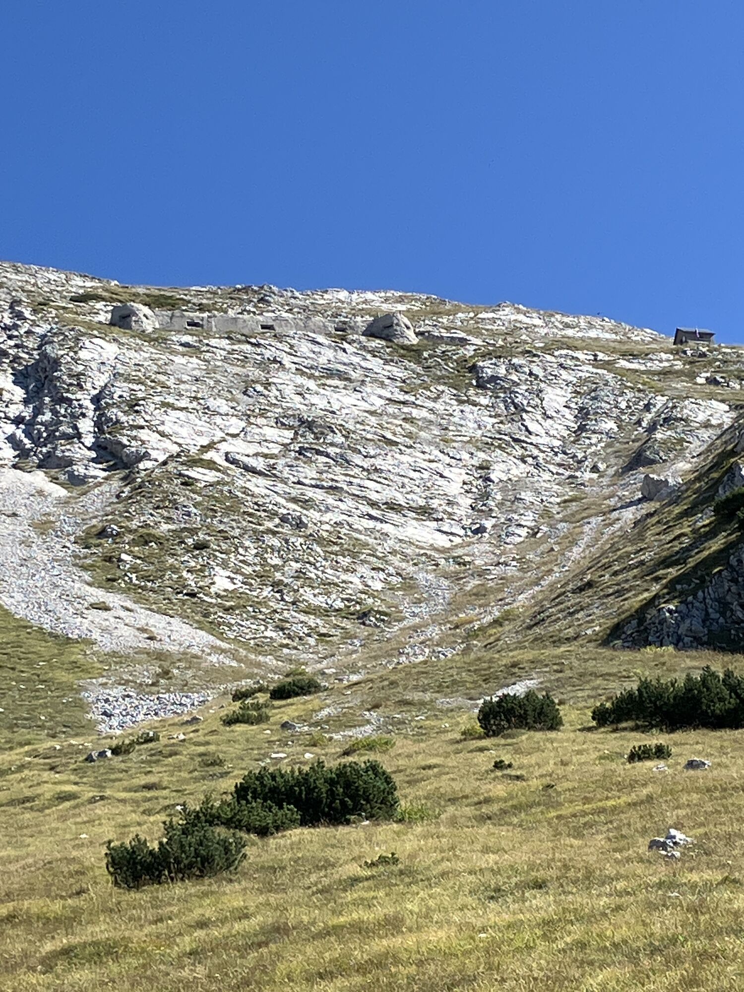
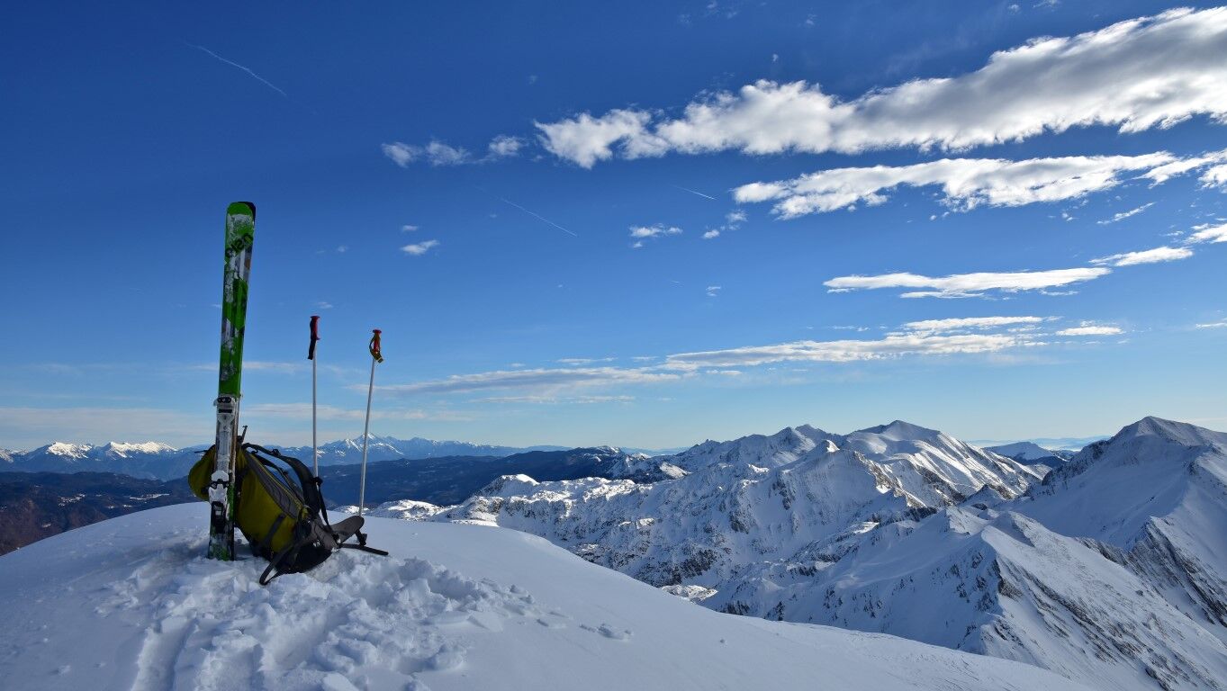
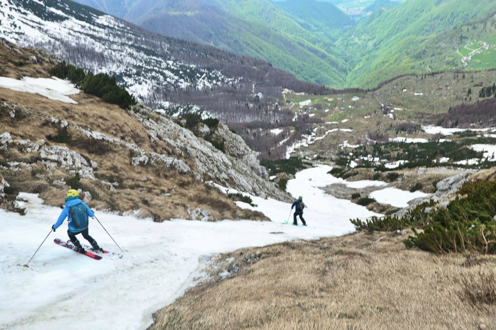
From the summit, we ski back along the ridge to the saddle, then straight down into a shallow cirque. The upper section of this descent reaches slopes of up to 45 degrees, after which the gradient gradually eases.
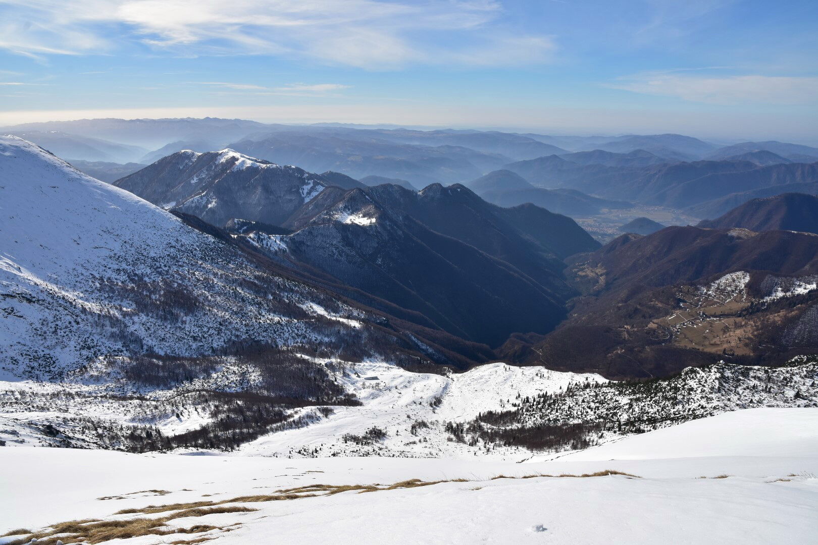
At the edge of the wide cirque, we find a narrow passage into the next steep gully, which comfortably empties onto the meadows above the Razor pasture (1200 m).
Alternative 1 – over Planja Peak (1863 m): at the indistinct hollow at the end of the ridge, where from the Bohinj side we ascend under the ridge, instead of going right to the saddle, we continue straight up to Planja Peak. We ski down to the left past the bivouac at Globoko (1828 m). At the edge of the shallow cirque below the bivouac, our two lines join and emerge through a gully onto the Razor pasture.
Alternative 2 – from Rušnati vrh to the other side (1915 m): Rušnati vrh is one of the most popular ski destinations above the Razor pasture and from the summit we can also follow the classic descent route. From the summit, we briefly ski under the ridge past the first, indistinct ramp, then turn steeply down and further right into gentler slopes of the extended hollow. We ski further to the edge of the break and then in a long descent to the left above the beech forest border onto the meadows of the Razor pasture.
Across the pasture, we ski down to its lowest point at the lower edge (1200 m). If snow conditions allow, we continue further along the mule track to Tolminske Ravne (913 m), if there is not enough snow, we descend on foot.
The route can also be done in the opposite direction. The usual winter access to the Razor pasture is via the summer path from Tolminske Ravne (913 m). From the pasture, we continue straight up in the area of an unmistakable gully. At the top of the gully, when we reach the bottom of a wide and shallow cirque, we do not continue towards the saddle but turn right along a clear ridge to a well-visible bivouac below the Globoko pass. Past the bivouac, we ascend to Planja Peak (1863 m). From the summit, we ski down along the distinct ridge to the saddle, where we join the Triglav trail (unmistakable sign) and continue on to the forest edge at Kal pasture. It is better than struggling through thickets downhill to follow the winter signs from the pasture in a mild ascent to Zadnji Vogel pasture (1413 m), where we catch the ski slope. Through Žagarjev graben we comfortably descend into the valley (569 m).
Ano
Ano
Avalanche safety trio (avalanche beacon, probe, shovel), touring skis, bindings, boots; dogs, harnesses; crampons, ice axe.
The route is only recommended in stable and good snow conditions. After new snow, there is a high risk of avalanches; on hard snow, it is dangerous to slip under the ridge. If the snow is hard or icy, one must choose one of the alternatives described below. On the ridge, be cautious of cornices.
To Bohinj and past the lake to the lower station of the Vogel cable car.
A bus runs every hour to the lower station of the Vogel cable car. Transport from Kneške Rave to Tolmin must be ordered. Buses run from Tolmin to the train station.
Parking is at the lower station of the Vogel cable car.
If the mountain hut on the Razor pasture is open, it is worth enjoying a drink and excellent štruklji (stuffed dumplings).
If the snow line is high and the road to the Razor pasture up to planina Kuk is passable (so someone can pick us up), descending towards planina Kuk is a more comfortable option.
If we want to return to Bohinj, it is most convenient to arrange transport to the train station at Most na SoÄi and return to Bohinj by train.
The descent from the saddle below Rušnati vrh is a suitable and, due to terrain configuration, relatively safe option in good conditions to experience a bit of the excitement that steep alpine descents bring.
Webové kamery z prohlídky
Oblíbené prohlídky v okolí
-
4.7
Viševnik 2050m
světloHorská turistika 6.97 km -
4.5
Savica Wasserfall
středníTuristika 1.89 km -
4.6
Roundthelake
světloTuristika 11.4 km -
4.3
Slap Slavica
středníTuristika 9.62 km -
4.8
Triglav lakes hike
heavyTuristika 23.7 km -
4.6
Rudno polje-Viševnik
středníZimní turistika 7.15 km -
4.8
Mostnica Gorge
středníTuristika 4.93 km -
3.9
Tolminka Klamm
světloTuristika 1.90 km -
3.3
Auf den Krn
středníTuristika 5.90 km -
4.7
Bohinj
středníTuristika 22.1 km
Pěší turistika a stopování


Nenechte si ujít nabídky a inspiraci pro vaši příští dovolenou
Vaše e-mailová adresa byl přidán do poštovního seznamu.