







Juliana SkiTour 1a - Kotovo Saddle (2300 m), a noble classic in a magnificent setting

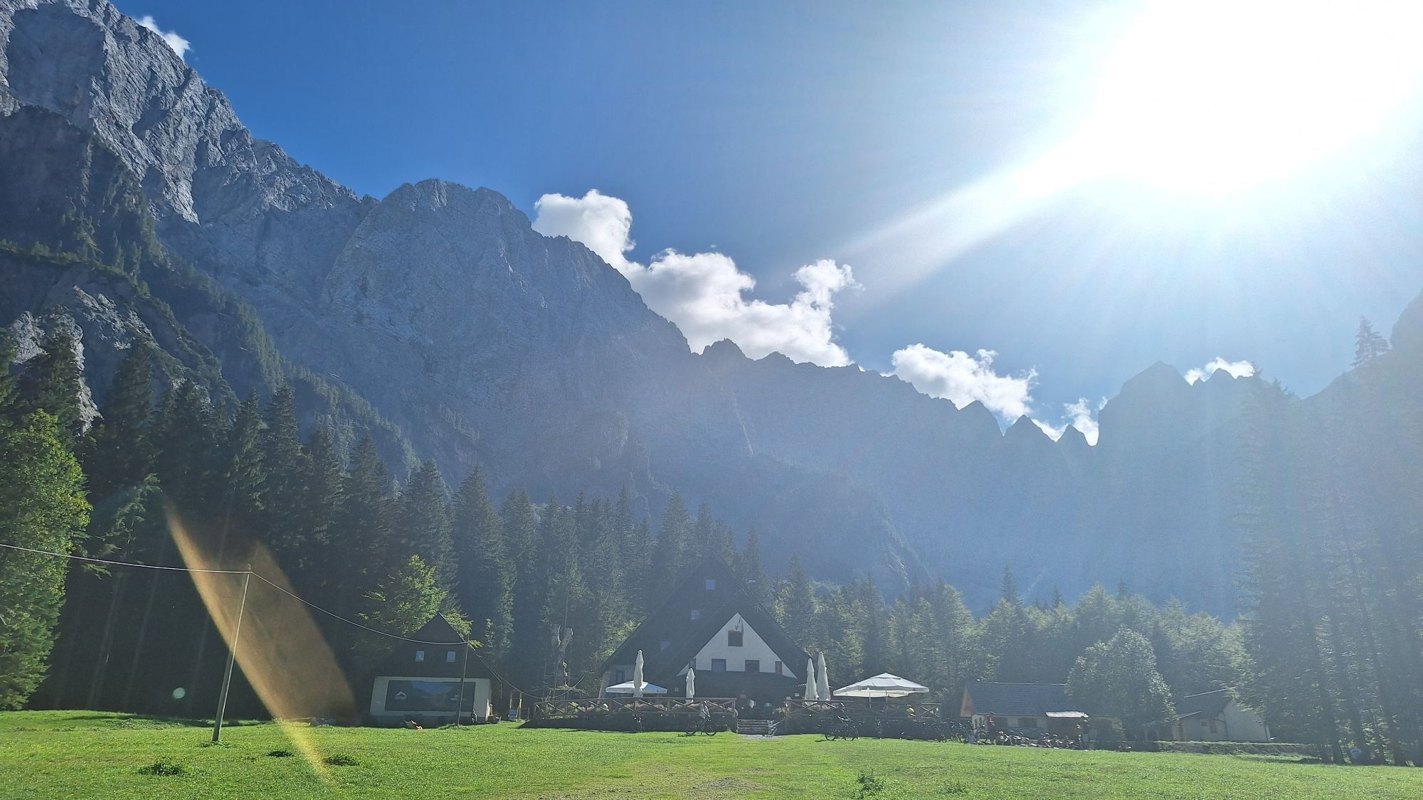
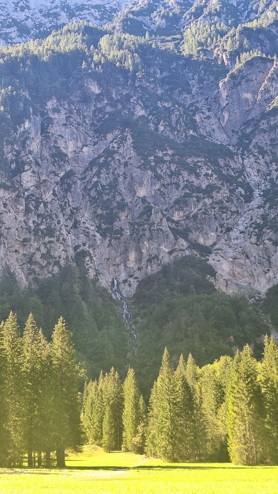
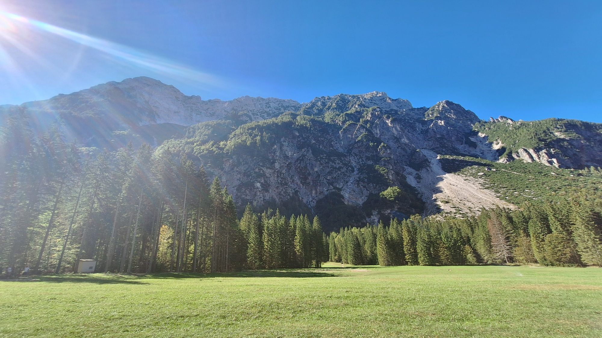
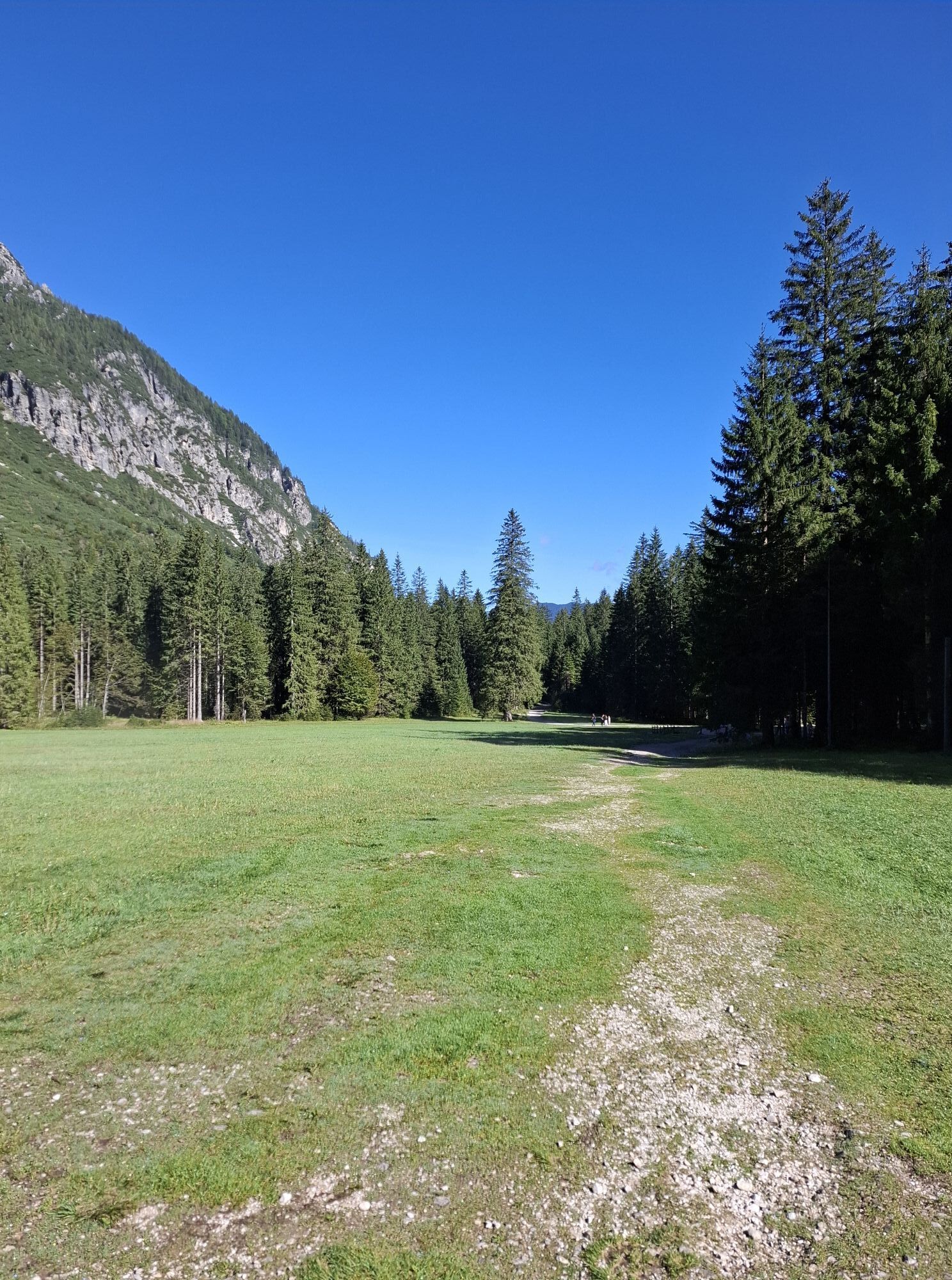
Kotovo Saddle is the lowest point on the ridge connecting Jalovec and Mangart, two of the mighty Slovenian two-thousanders. It also divides two dramatic alpine valleys – Loška Koritnica on the Primorska...
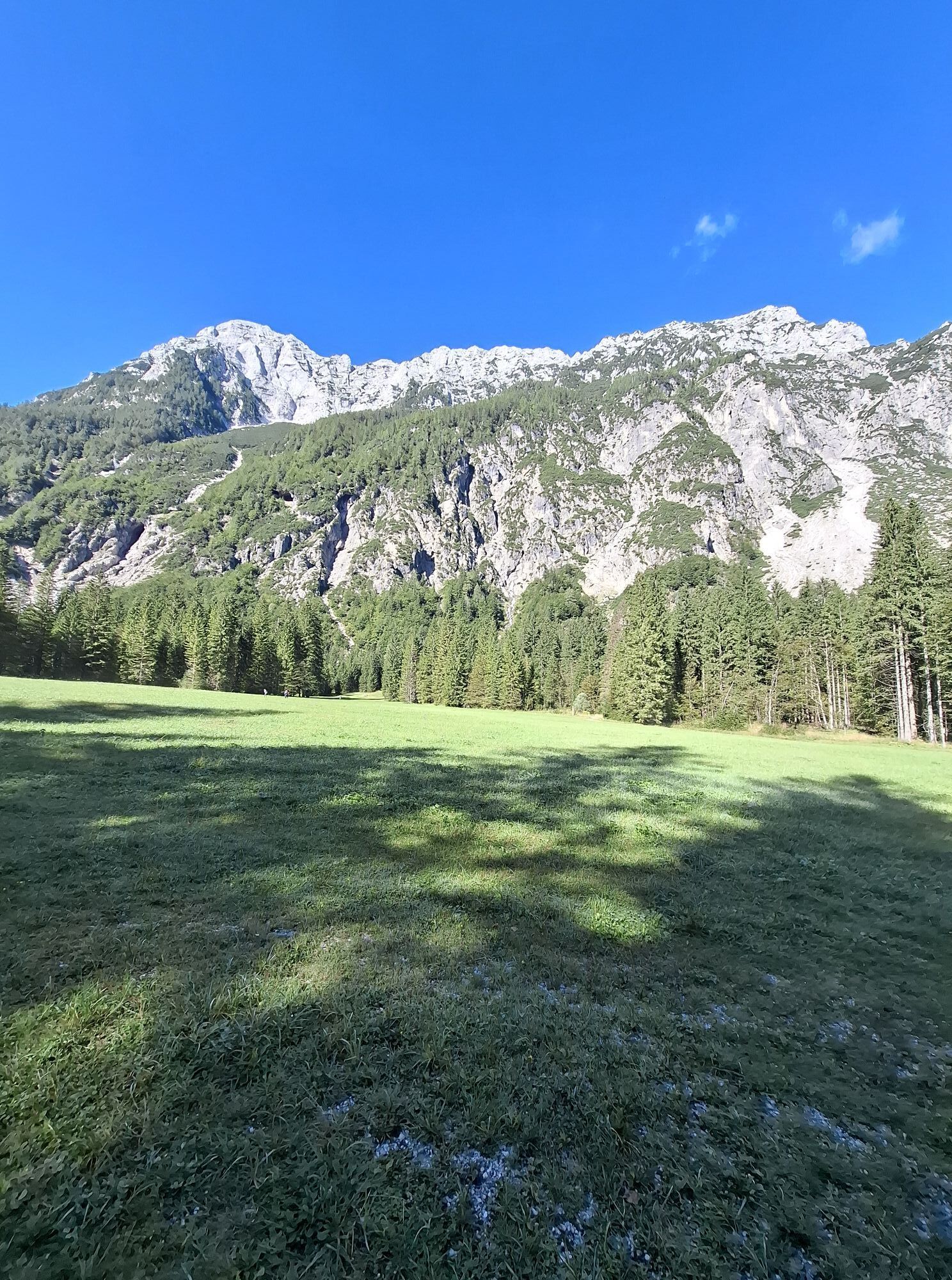
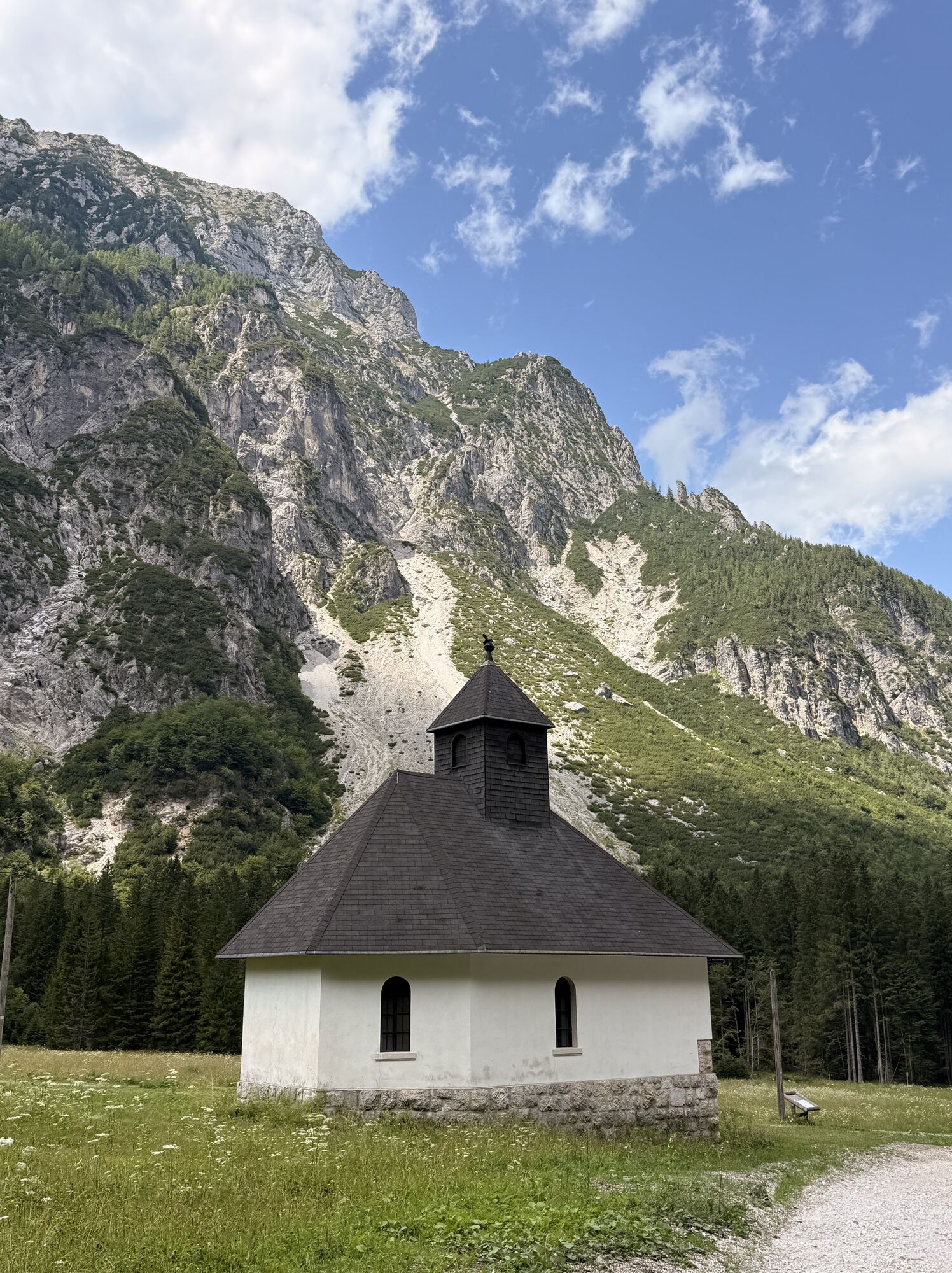
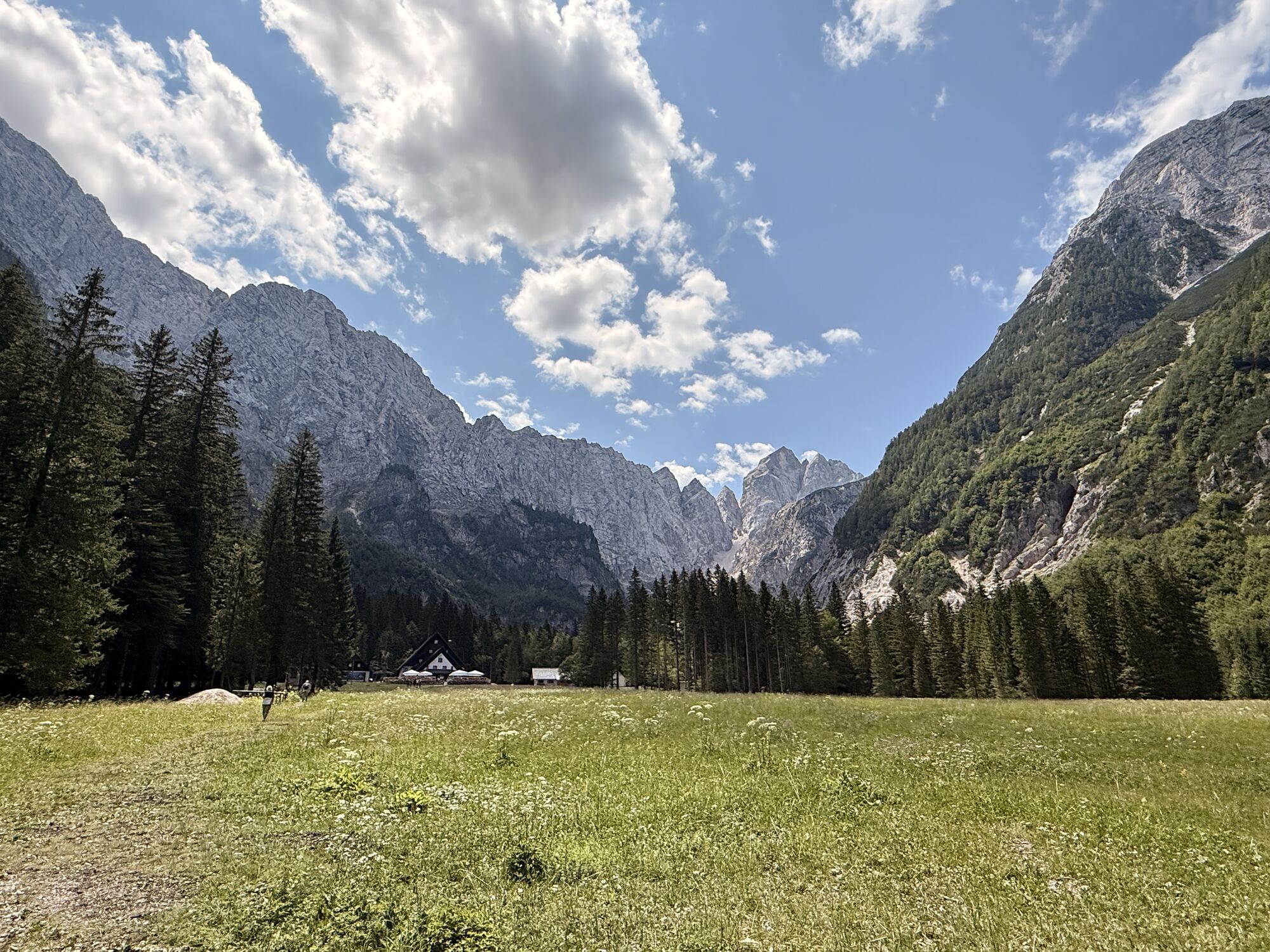
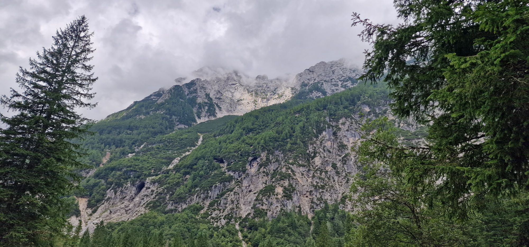
Kotovo Saddle is the lowest point on the ridge connecting Jalovec and Mangart, two of the mighty Slovenian two-thousanders. It also divides two dramatic alpine valleys – Loška Koritnica on the Primorska side and Tamar on the Gorenjska side. Kotovo Saddle is the watershed – waters on the Primorska side flow to the Adriatic Sea, while on the Gorenjska side they flow to the much more distant Black Sea.
Kotovo Saddle is a classic ski touring route that won’t leave even the most spoiled winter mountain visitor indifferent. The tour offers all the qualities that classics provide: an exceptional setting, decent altitude difference, and excellent skiing.
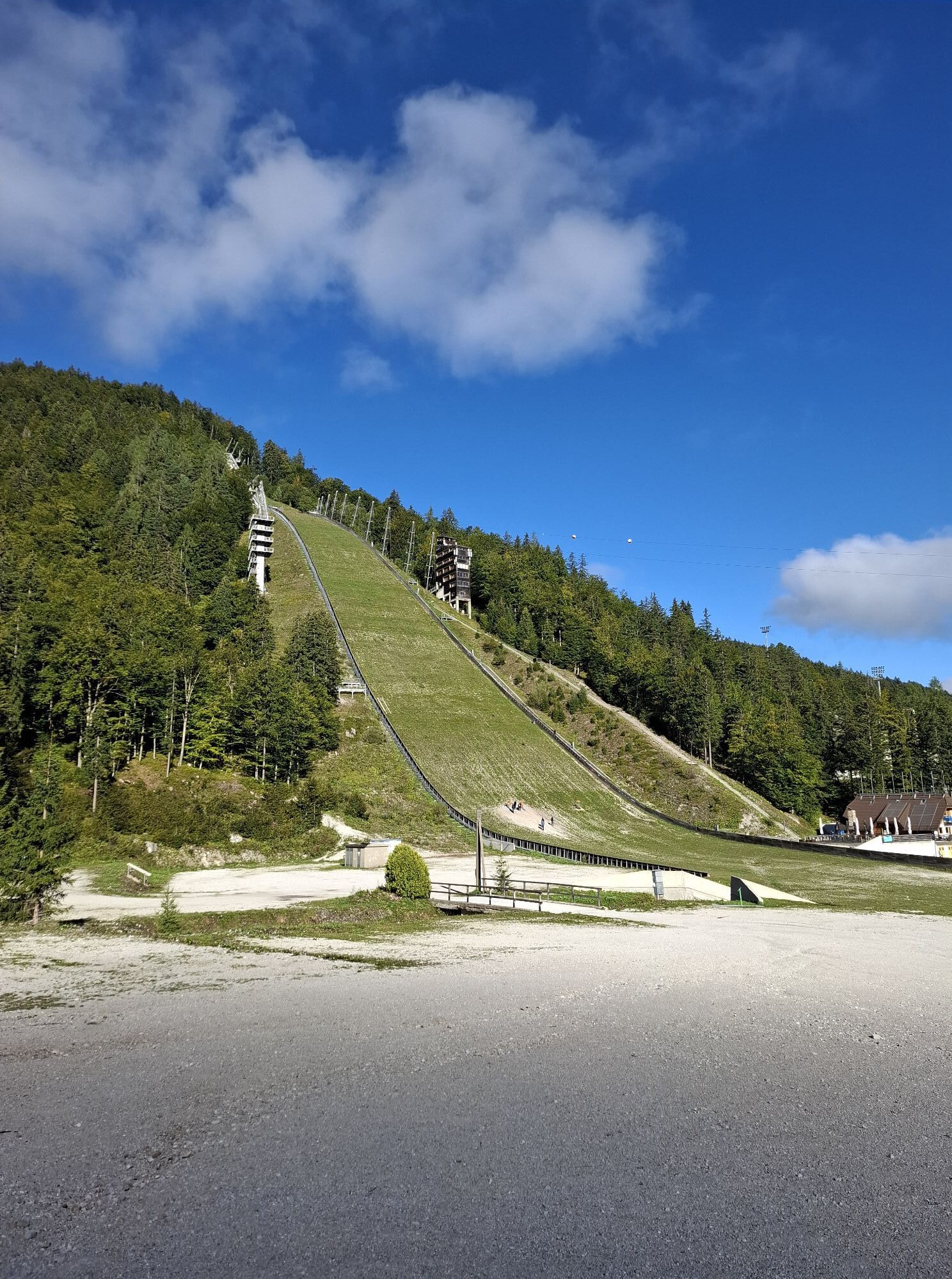
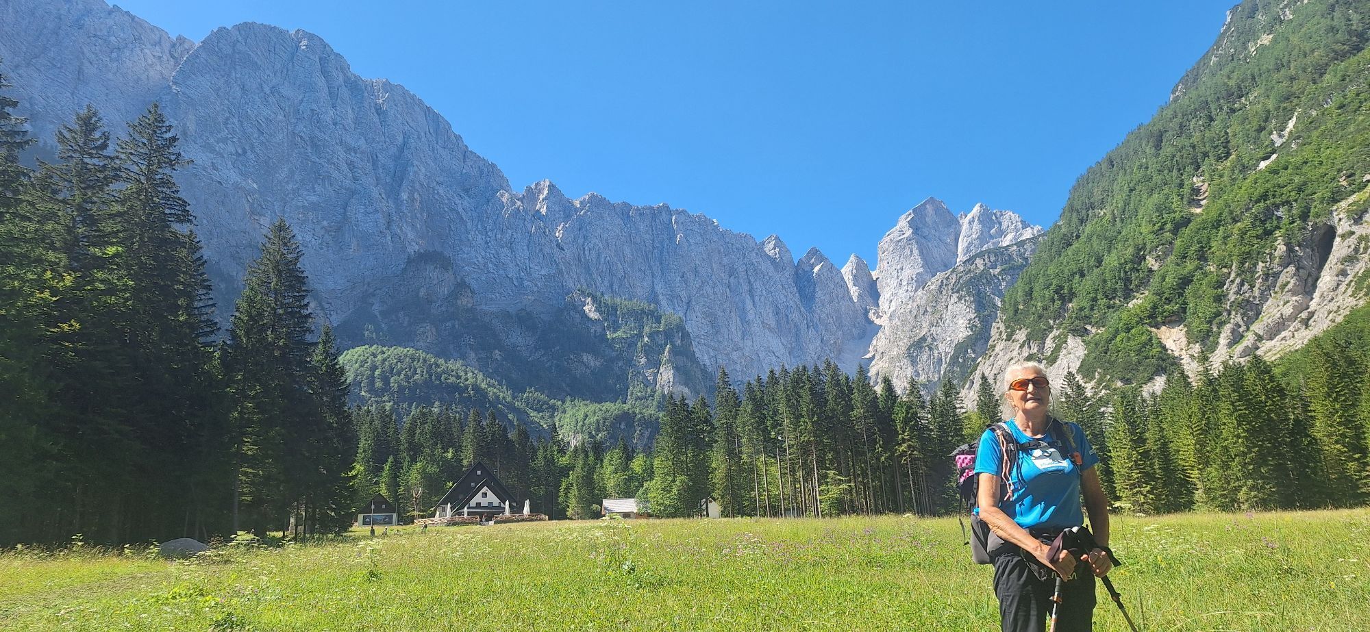
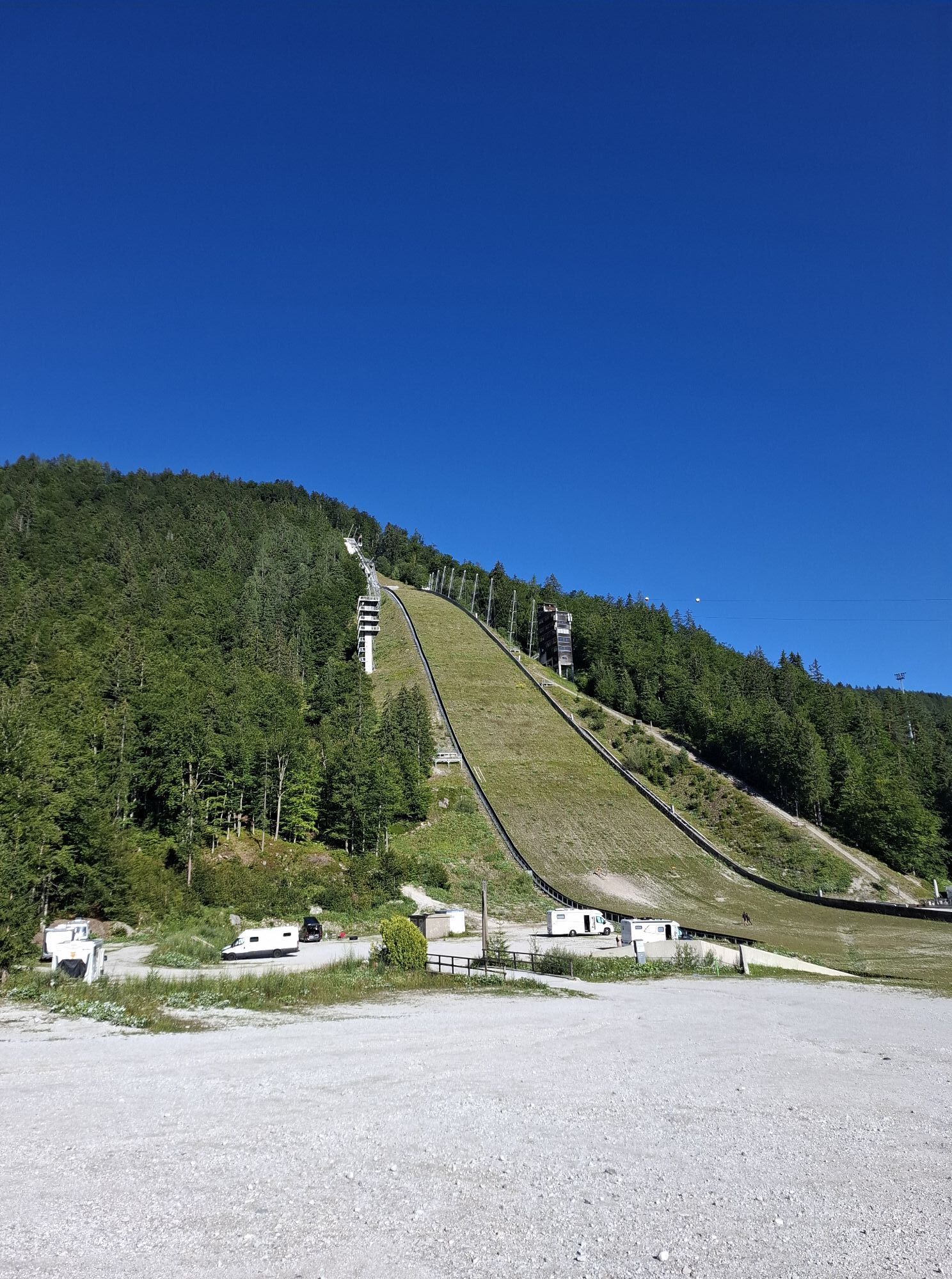
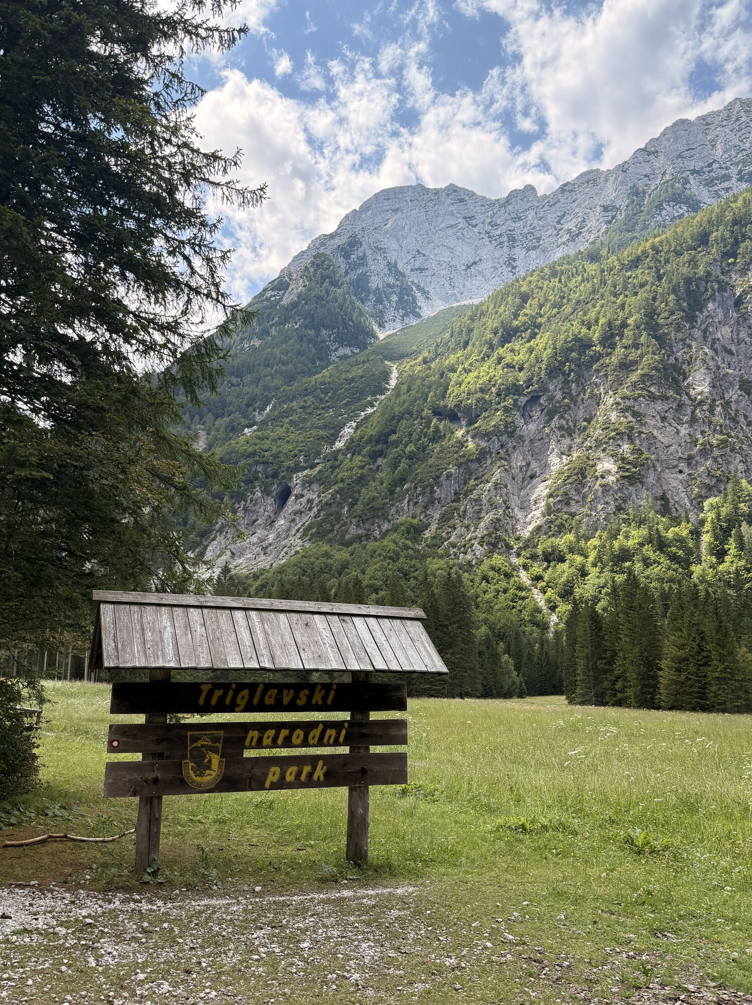
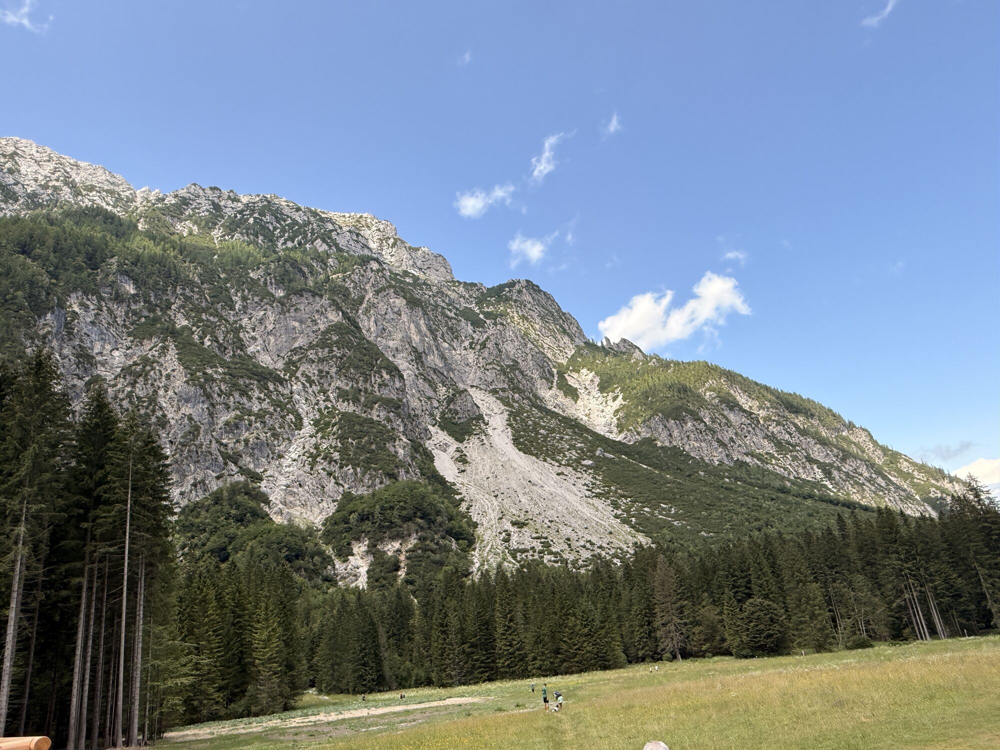
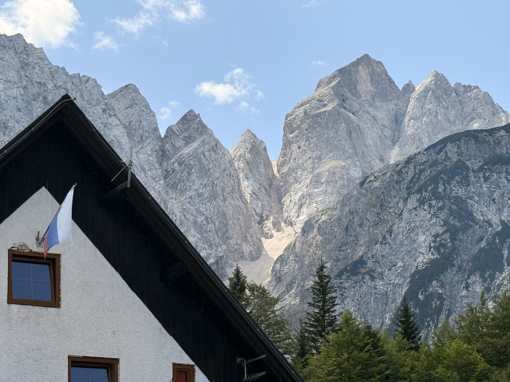
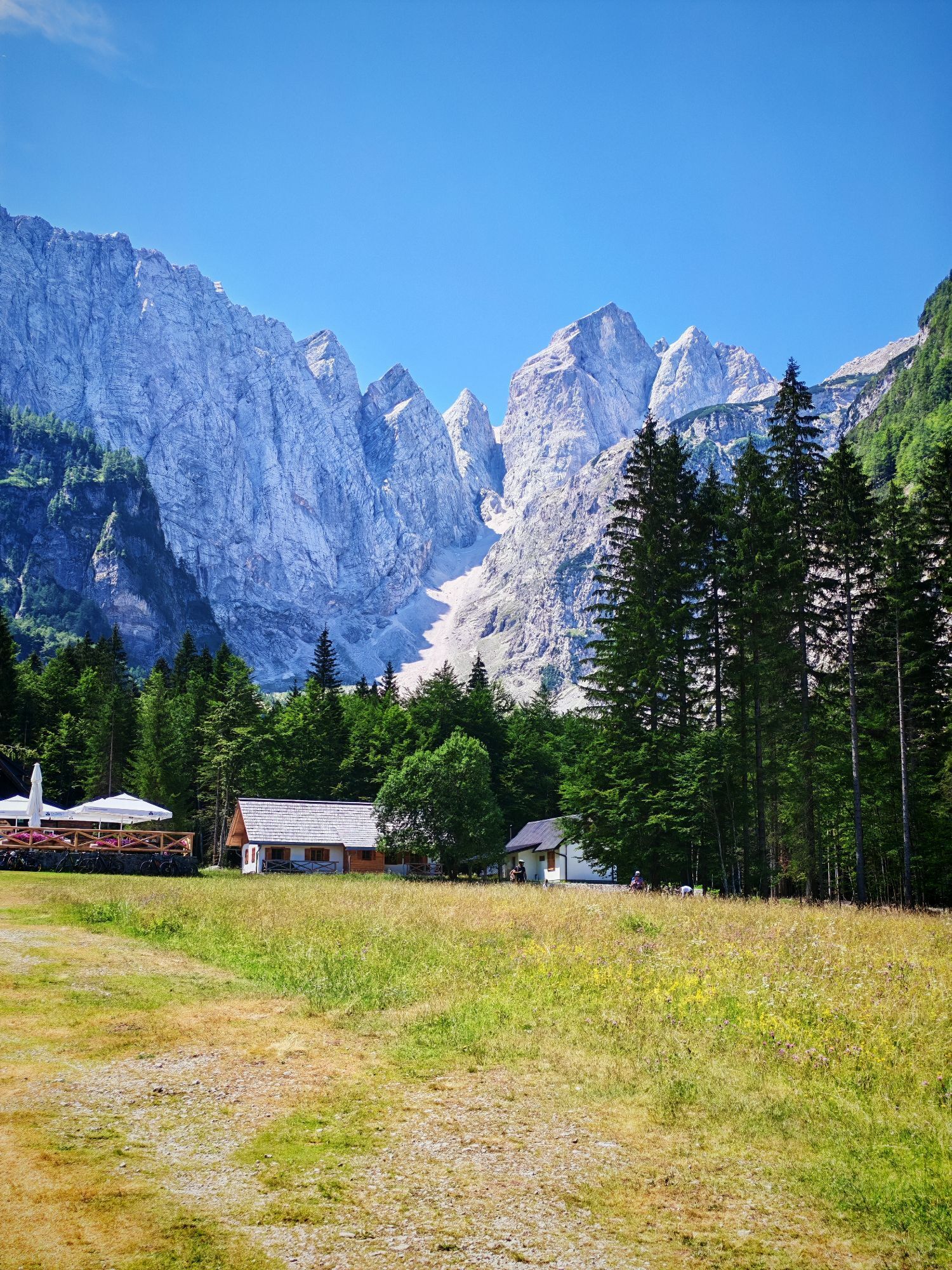
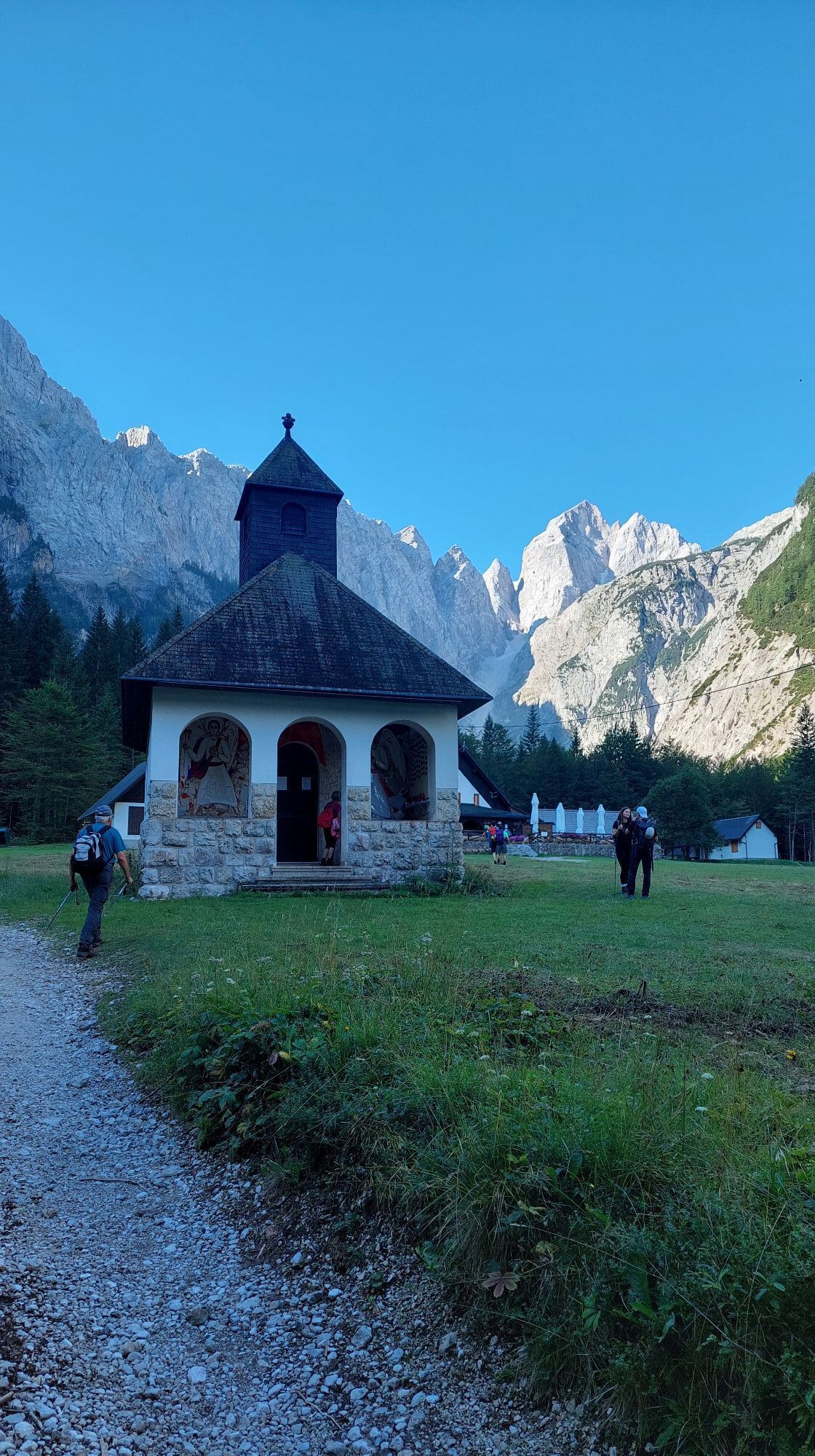
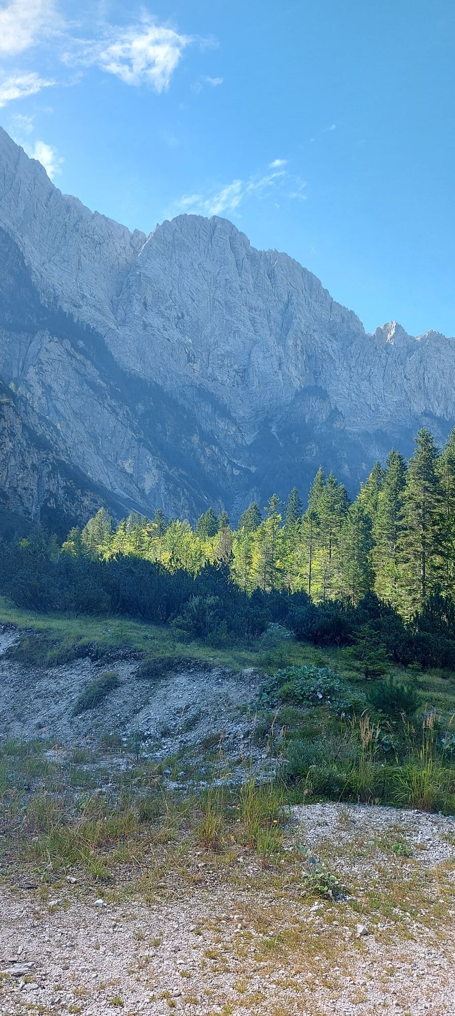
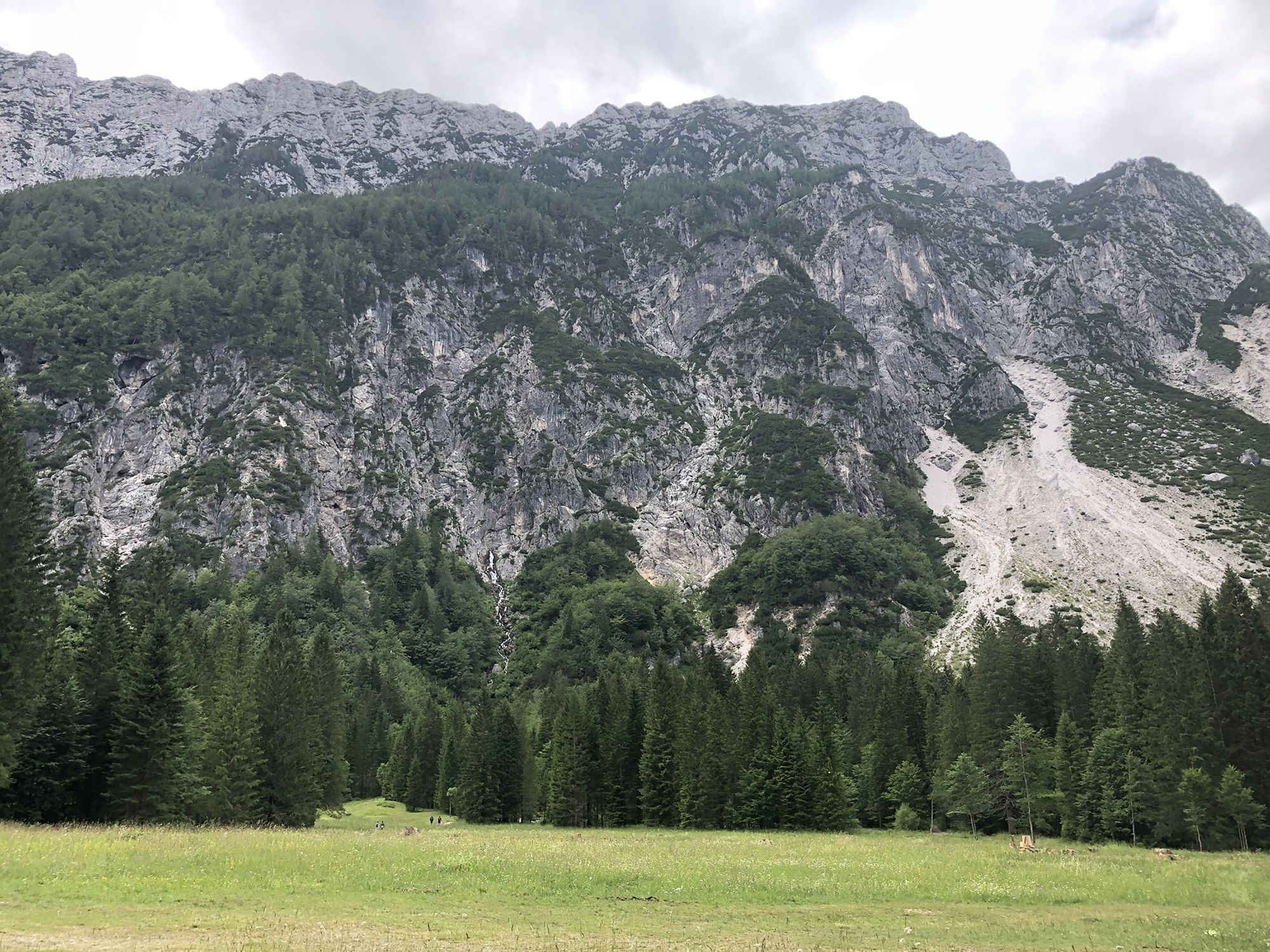
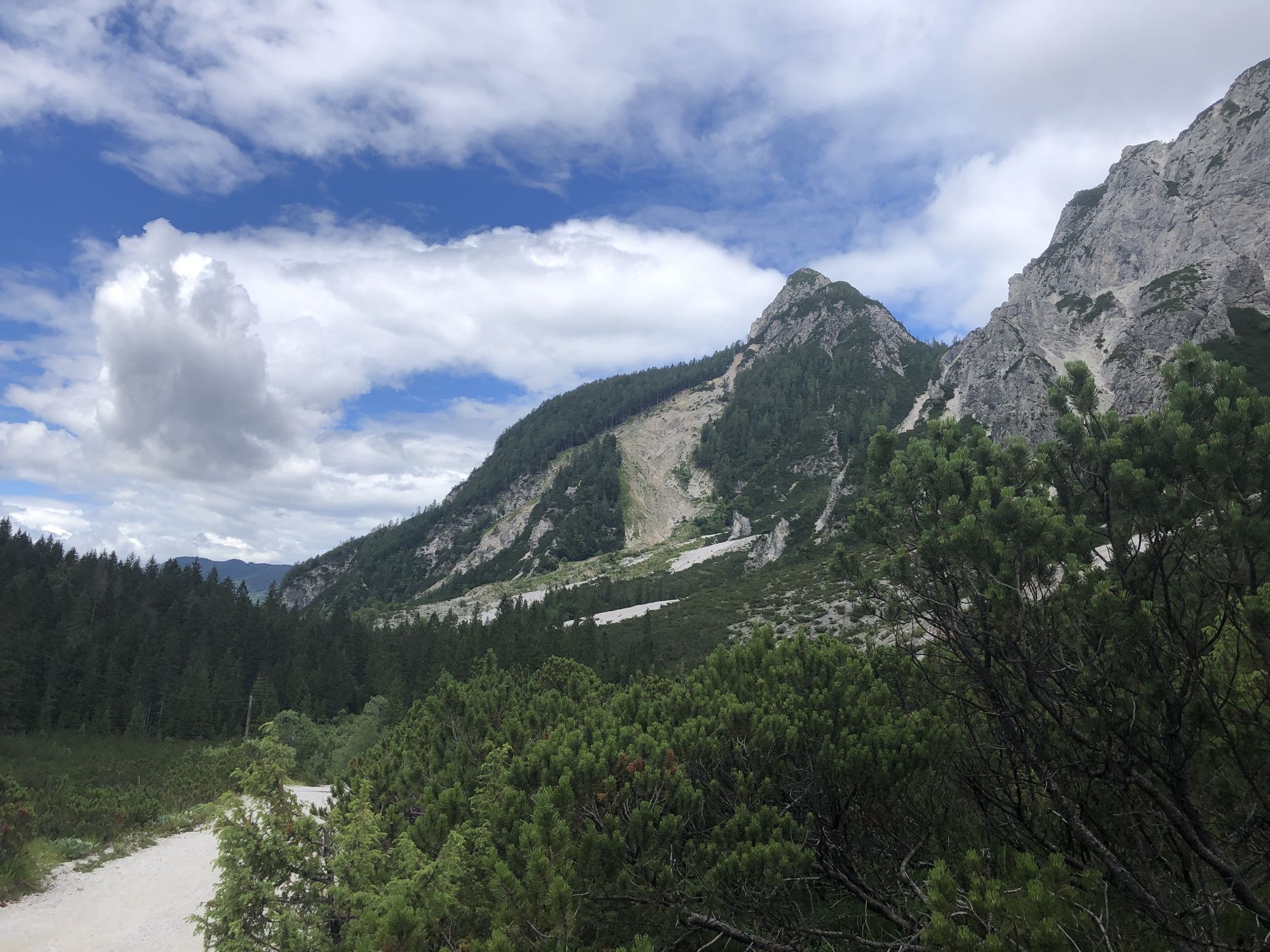
Start the ascent at the world-famous Nordic center Planica, continue up the Tamar valley, past the mountain hut, and further below the dramatic cliffs of Travnik and Šit. Ascend through the increasingly narrow and steep valley. Below the summit massif of Jalovec, turn onto the vast slopes on the eastern side and continue to the farthest point on the ridge still reachable by skis. Ski back down following the ascent route. The descent is smooth, except for the narrow section below Šit where there is enough space to choose the nicest slopes.

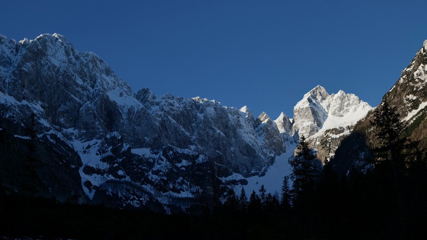

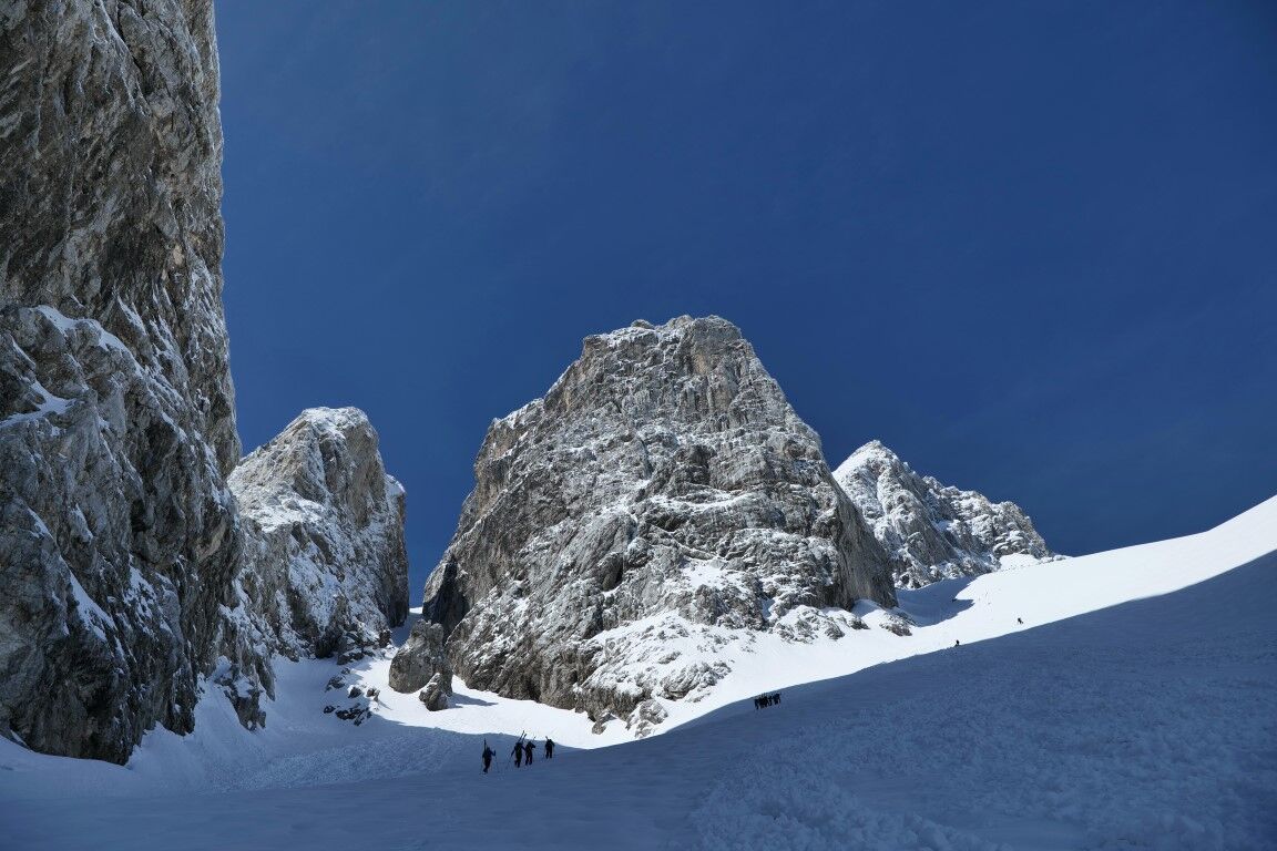
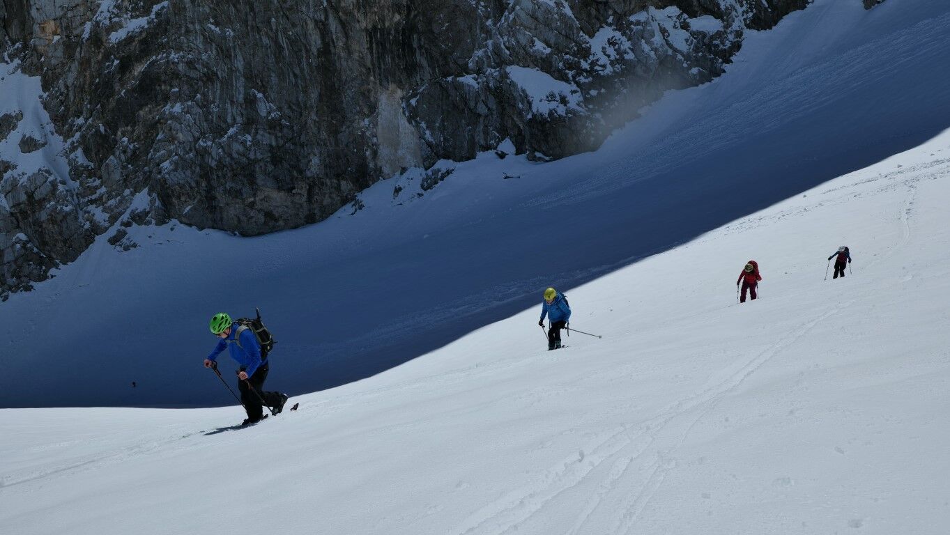
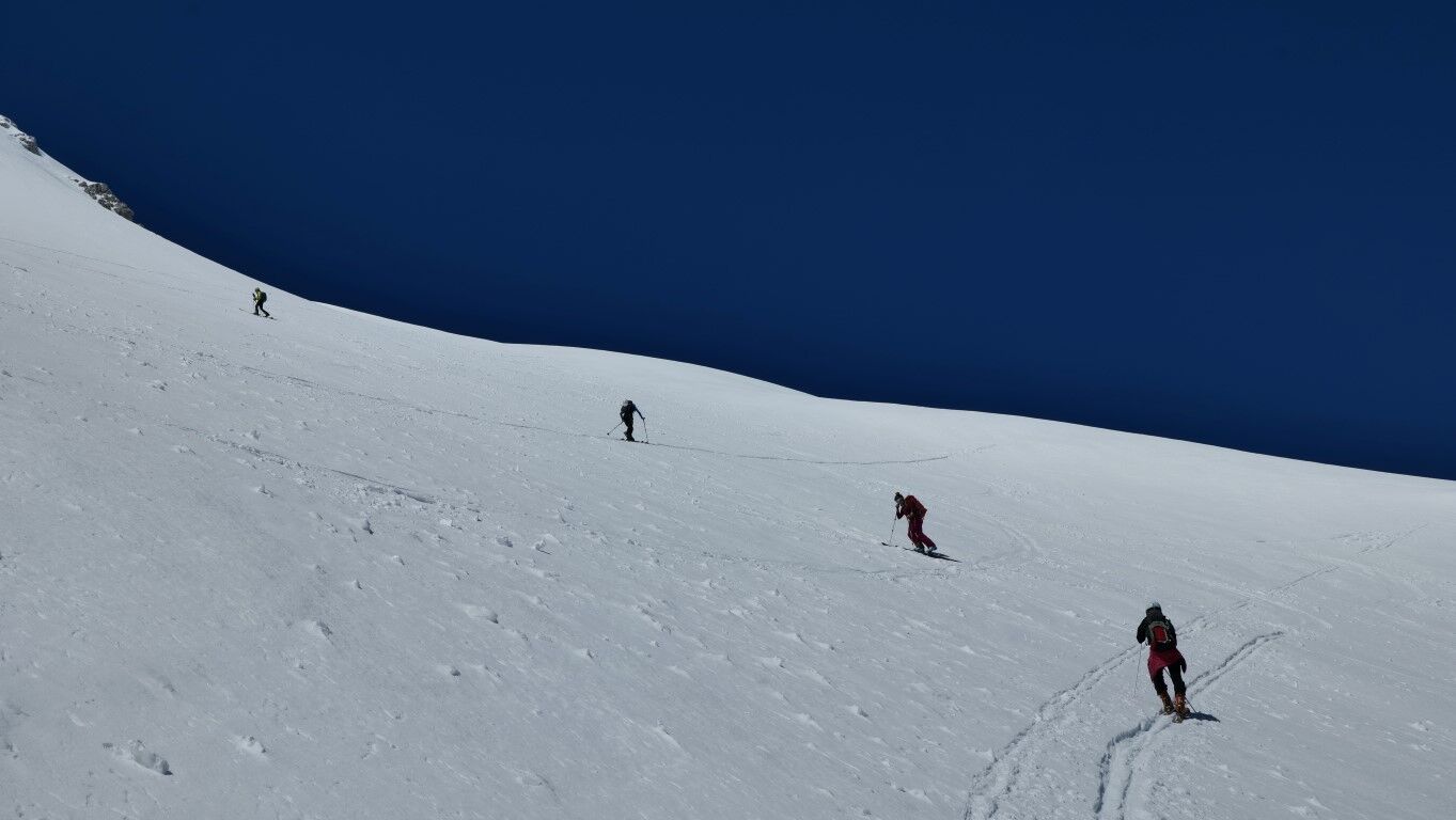
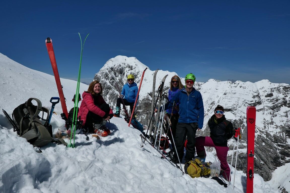
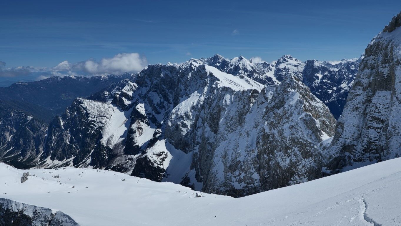
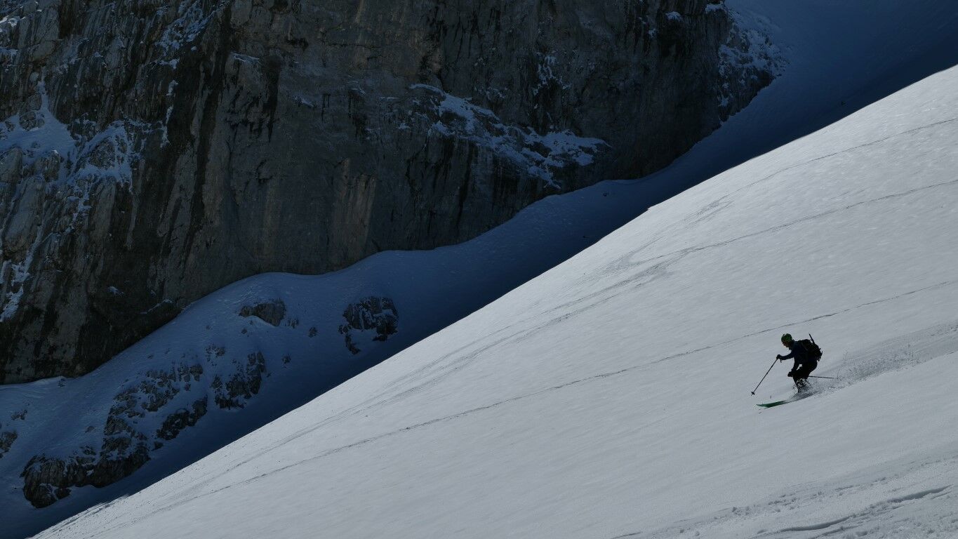


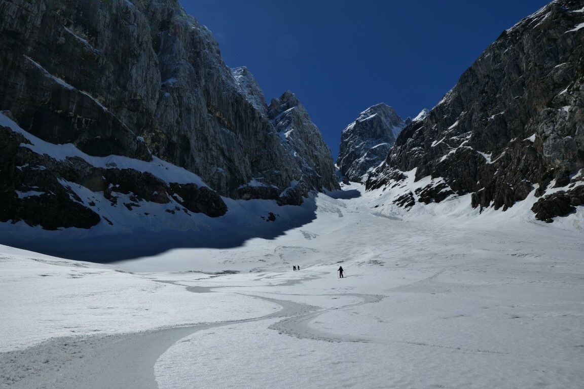
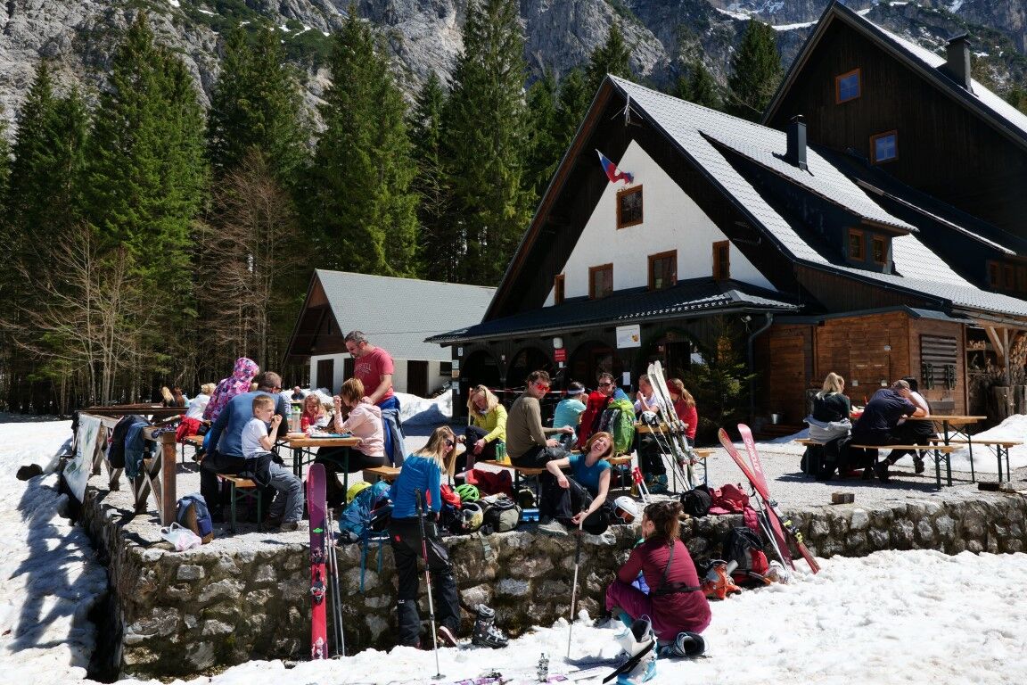

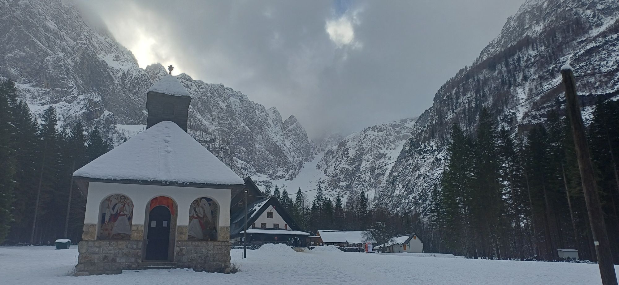
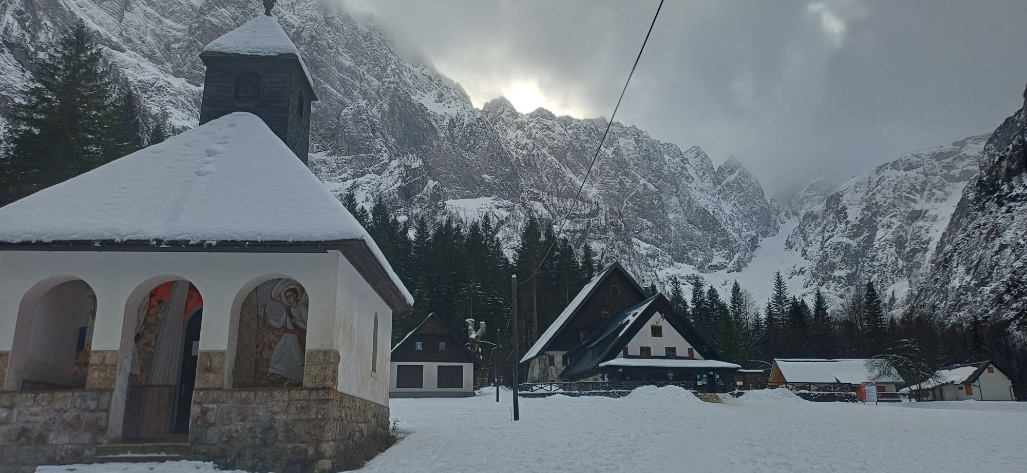
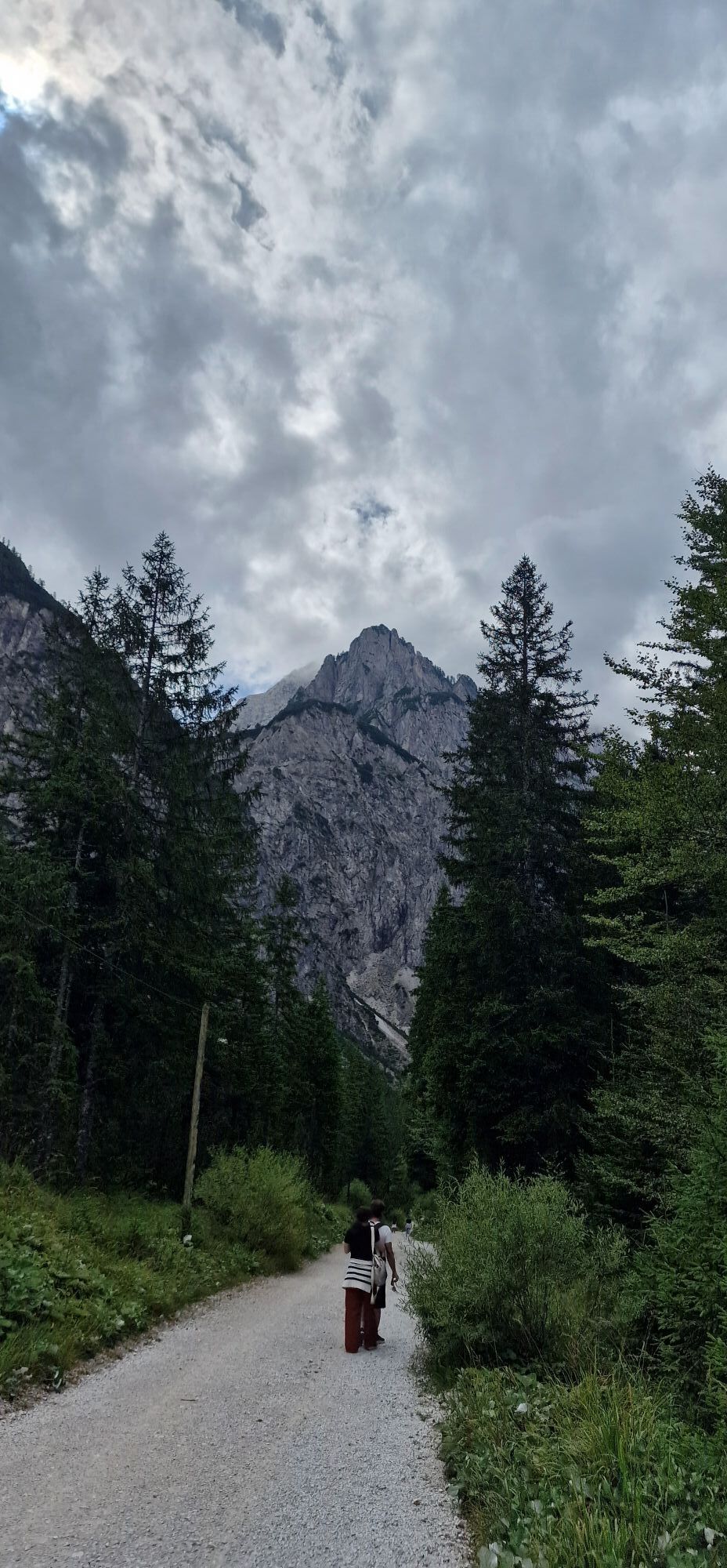
From the parking lot in Planica (960 m) to the Mountain Hut in Tamar, we follow the gravel road (3.4 km) – in winter, when there is snow in the valley, a cross-country ski trail is prepared on this road and you can go on skis. From March onwards, when the snow melts, you have to go on foot with skis on your backpack.
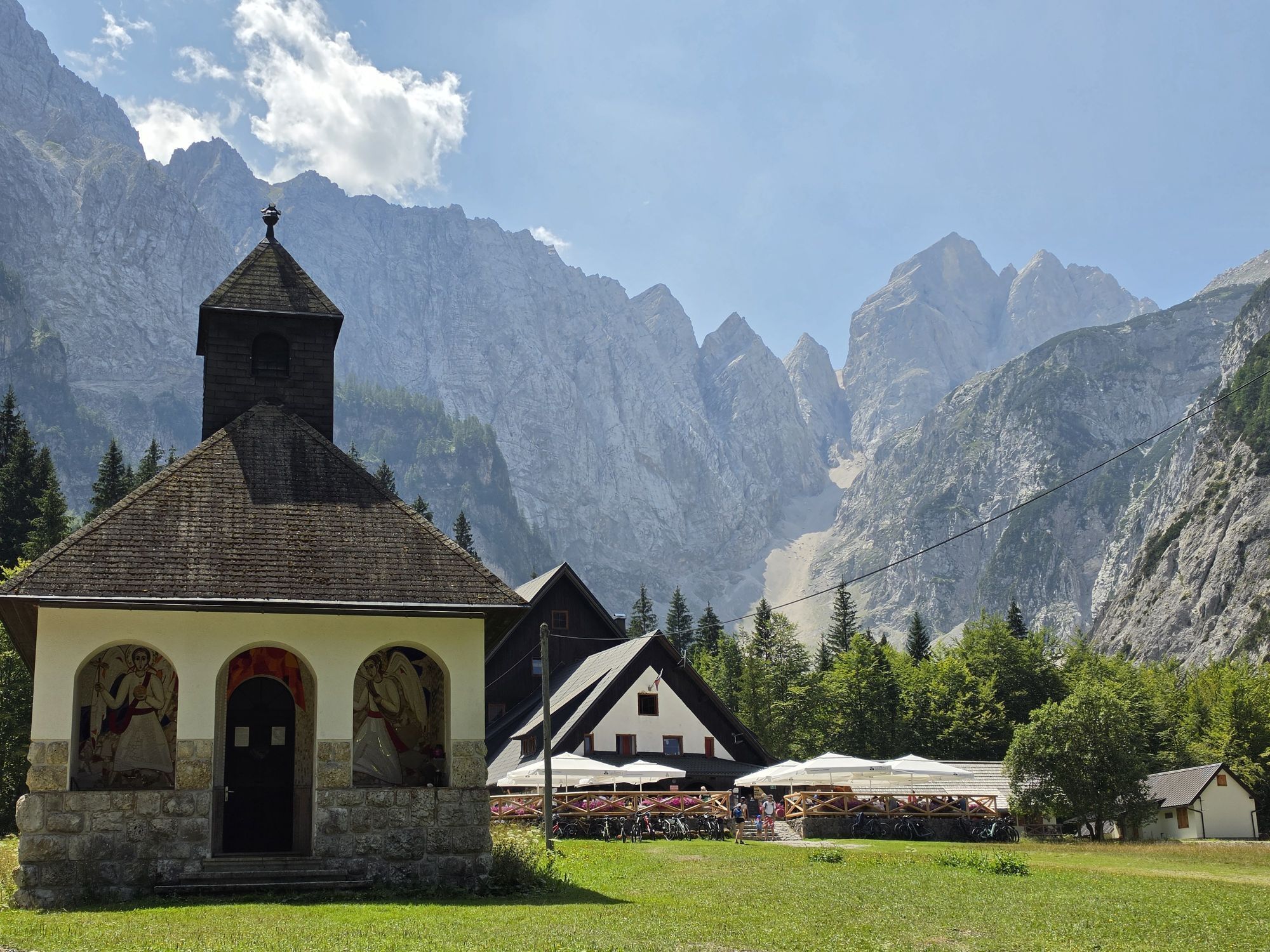
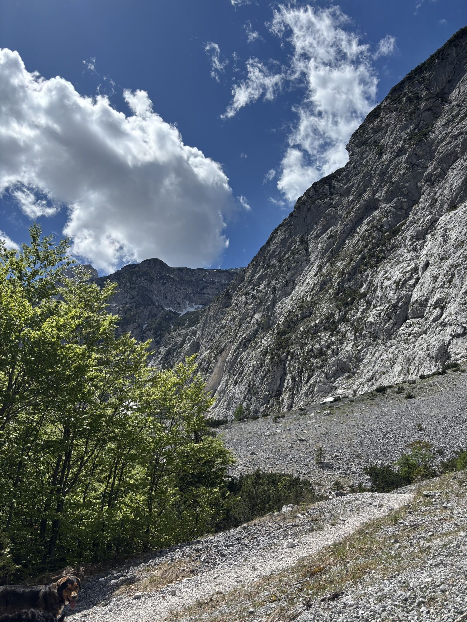
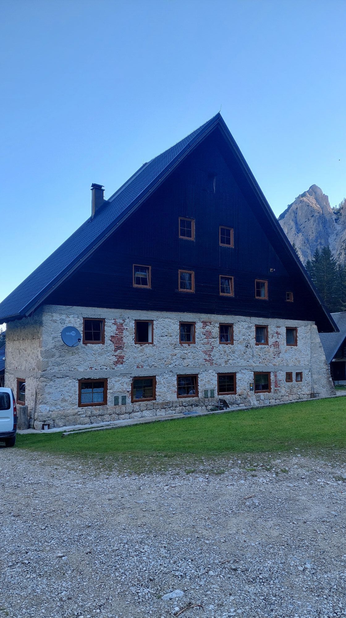
Immediately after the mountain hut, we follow the signs of the summer path. If the signs are not visible, we look for the direction through the beech forest towards the right edge of the valley. After twenty minutes we are already on snowfields above the tree line.
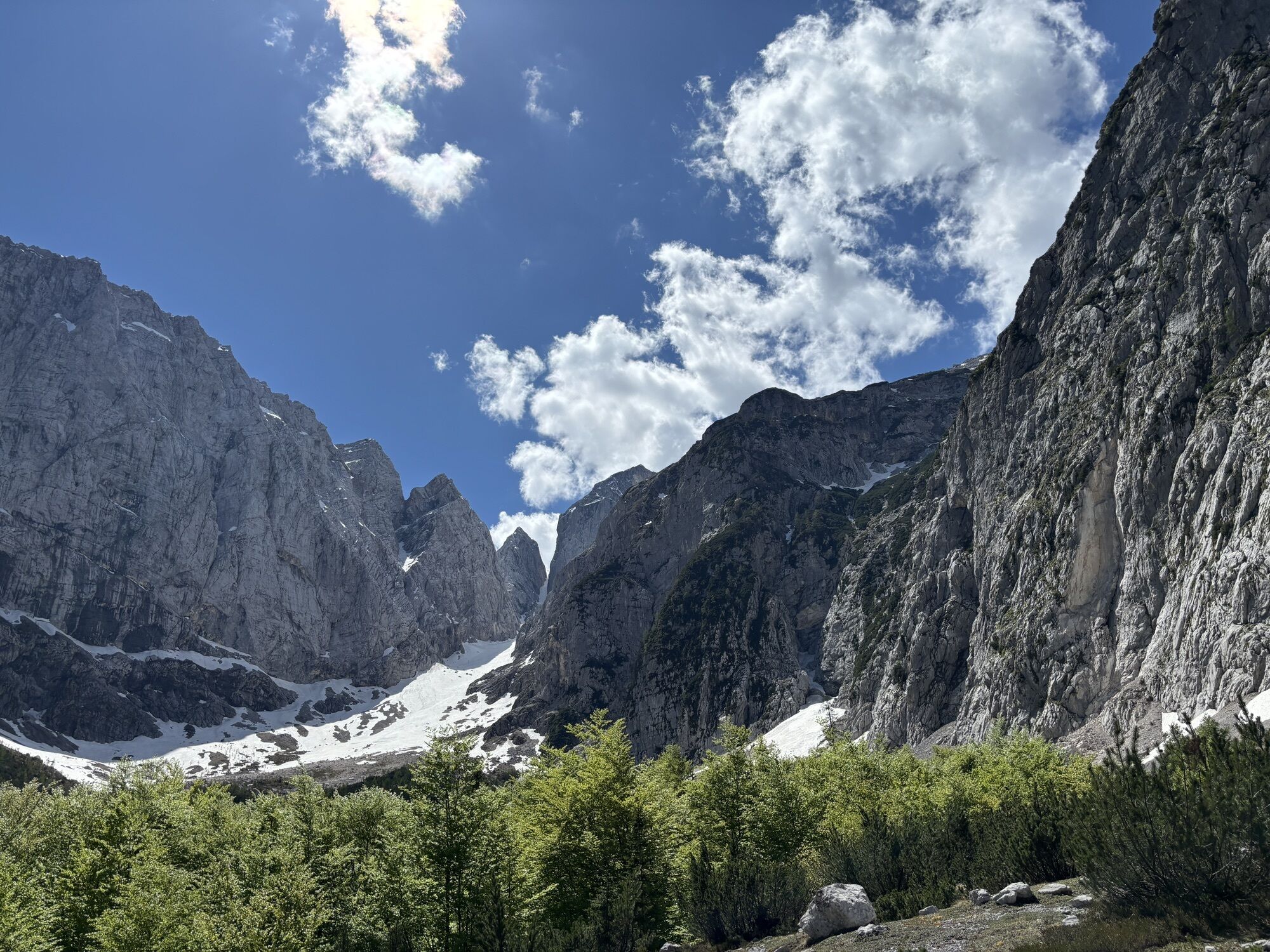
We continue up the ever-narrower valley under the cliffs of Šit, where the slope steepens and the passage narrows. This section is often icy, crampons and microspikes are essential equipment that must at least be in your backpack.
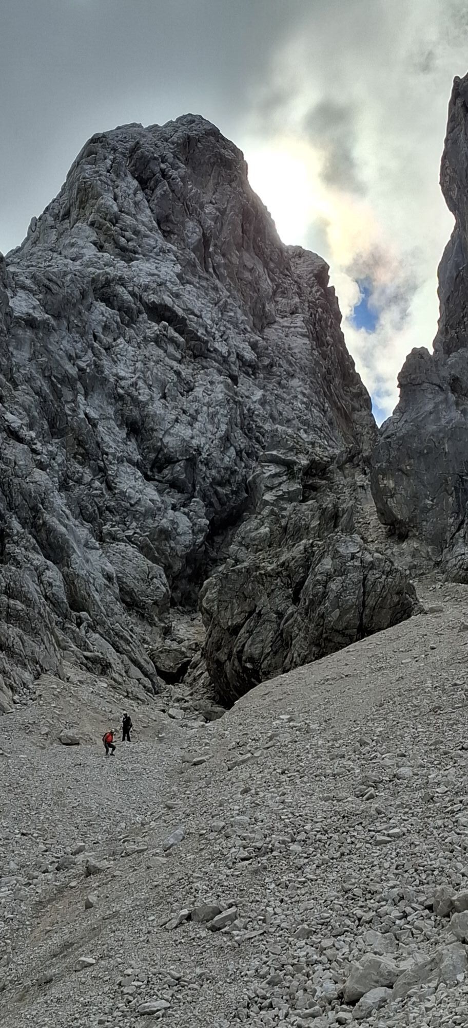
Through a gully, we ascend under the summit massif of Jalovec, where the slope noticeably levels off. Good skiers can continue straight up through Jalovec's snowfield in good conditions; our route turns right uphill under the cliffs to a huge boulder.
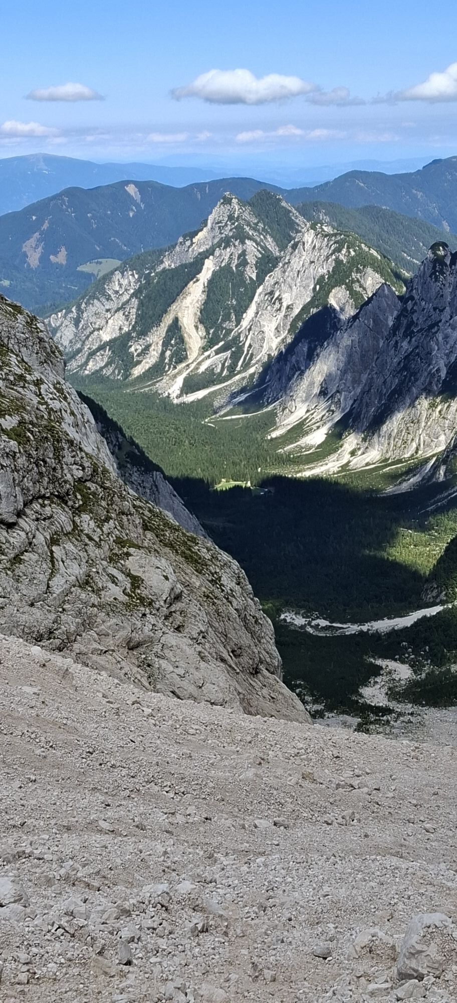
The tired can finish the ascent at the boulder, while the less tired continue across open pastures to the right uphill, to a subtle shoulder on the ridge (2300 m), just below the start of the rocky cliffs. These additional 200 meters of elevation from the boulder are definitely worth the effort, as they open views over the steep ridges of Šit, Travnik, and Mojstrovke to the central Julian Alps on one side and to Mangart on the other. Especially rewarding are the beautiful ski slopes down which we zigzag back into the valley.
We ski in the direction of ascent; the slopes are wide enough to choose the passages freely, narrowing only in the gully under Šit, where it can be hard and requires greater caution.
We return all the way to the threshold of the mountain hut. If there is snow in the valley, you can continue skiing further; otherwise, we return to the parking lot on foot.
In spring, if there is no longer snow on the gravel road to the mountain hut in Tamar, access can be made easier with a mountain bike.
Ano
Avalanche safety trio (avalanche beacon, avalanche probe, shovel), touring skis, bindings, boots; microspikes, crampons; ice axe.
Usual caution appropriate for high mountain conditions is needed. The narrow section below Šit is often hard or icy, so all necessary equipment for winter ascents should always be in the backpack. The final point on the ridge is exposed.
From Kranjska Gora or from the direction of the border crossing with Italy, continue to the settlement of Rateče, where at the roundabout the road to Planica branches off. Follow this road to the parking lot just behind the Nordic center.
There is no public transport.
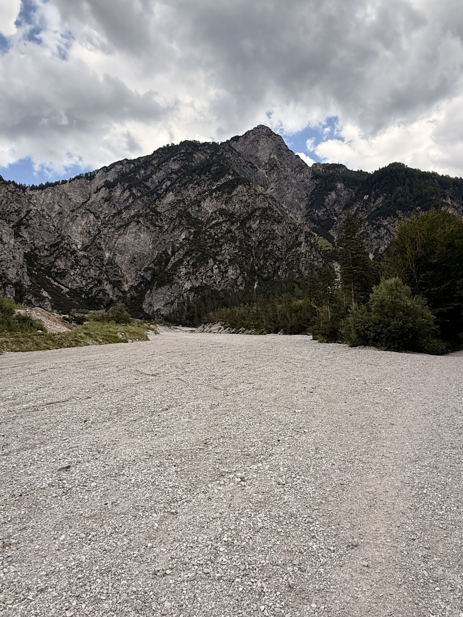
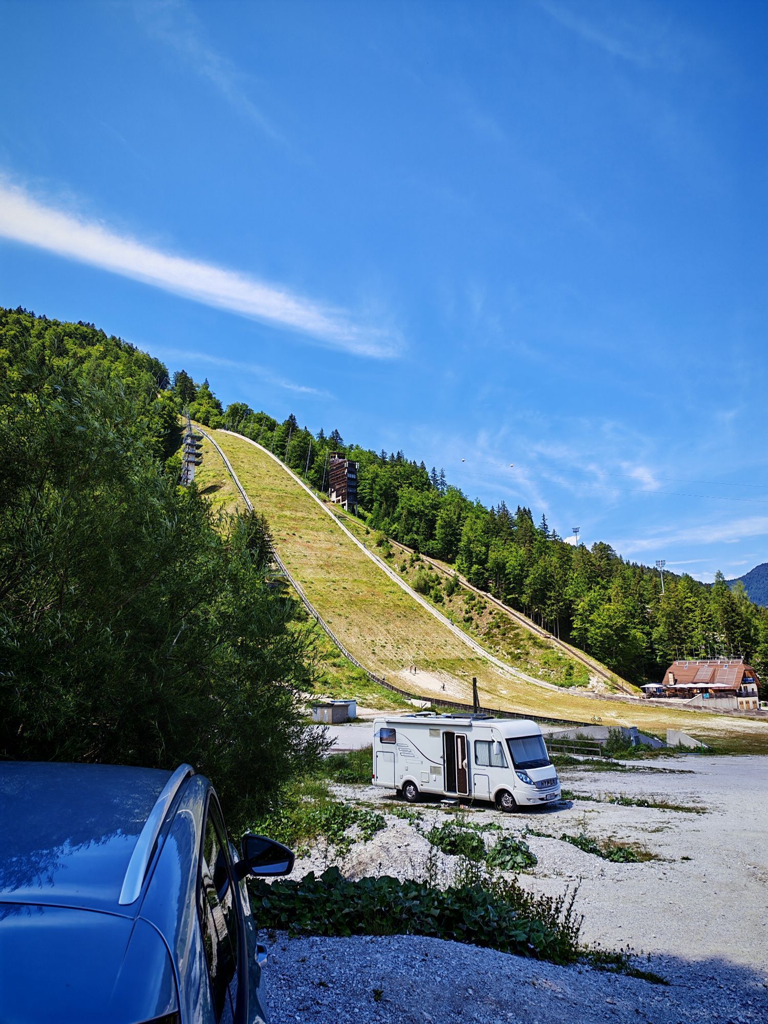
We park before the torrent at the end of the asphalt road, on the upper edge of the Nordic center.
Kotovo Saddle is an orientationally simple and technically moderately demanding tour. It is also among the longer ones and requires appropriate physical fitness. If too tired, the last 200 m of elevation can be skipped, and the tour can be finished at the unmistakable boulder below the summit slopes.
The descent from Kotovo Saddle is popular as a spring destination, but in stable winter conditions, it can also be enjoyed in February or March.


Webové kamery z prohlídky

Aktivity na trase
-

Kranjska Gora, Slovenija
09.09.2026 – Turistika -

Kranjska Gora, Slovenia
29.08.2026 – Turistika -

Kranjska Gora, Slovenia
05.03.2026 – Turistika -

Kranjska Gora, Slovenia
21.01.2026 – Turistika -

Kranjska Gora, Slovenia
30.08.2025 – Turistika -

Kranjska Gora Pohodništvo
29.12.2024 – Horská turistika -
Kranjska Gora Pohodništvo
27.12.2024 – Horská turistika -
Kronau, Slowenien
13.08.2023 – Turistika -
Kranjska Gora Hiking
13.01.2023 – Další -
Kranjska Gora Pohodništvo
20.12.2021 – Další -
Kranjska Gora Pohodništvo
05.12.2021 – Další
Oblíbené prohlídky v okolí
-
4.7
Jezera Fusine
světloTuristika 5.43 km -
4.9
Triglav
heavyVysokohorská turistika 12.1 km -
4.9
Orrido dello Slizza, Tarvisio, Italië
světloTuristika 2.65 km -
4.8
Krma - Triglav
heavyHorská turistika 18.6 km -
4.7
Soca Trail
světloTuristika 23.0 km -
4.6
Weißenfelser Seen: Fusine in Valromana - Ai Sette Nani - Seealm
středníTuristika 10.3 km -
4.4
Krnica Hut
středníTuristika 14.9 km -
4.5
Monte Lussari
středníLyžařská trasa 10.7 km -
4.5
Monte Lussari über den alten Pilgerweg
středníTuristika 6.43 km -
4.4
Grande Ponza
Via ferrata 9 km
Pěší turistika a stopování


Nenechte si ujít nabídky a inspiraci pro vaši příští dovolenou
Vaše e-mailová adresa byl přidán do poštovního seznamu.





