







BOHINJ I4: TIC Ribčev Laz - Soriška planina

Úroveň obtížnosti: 2
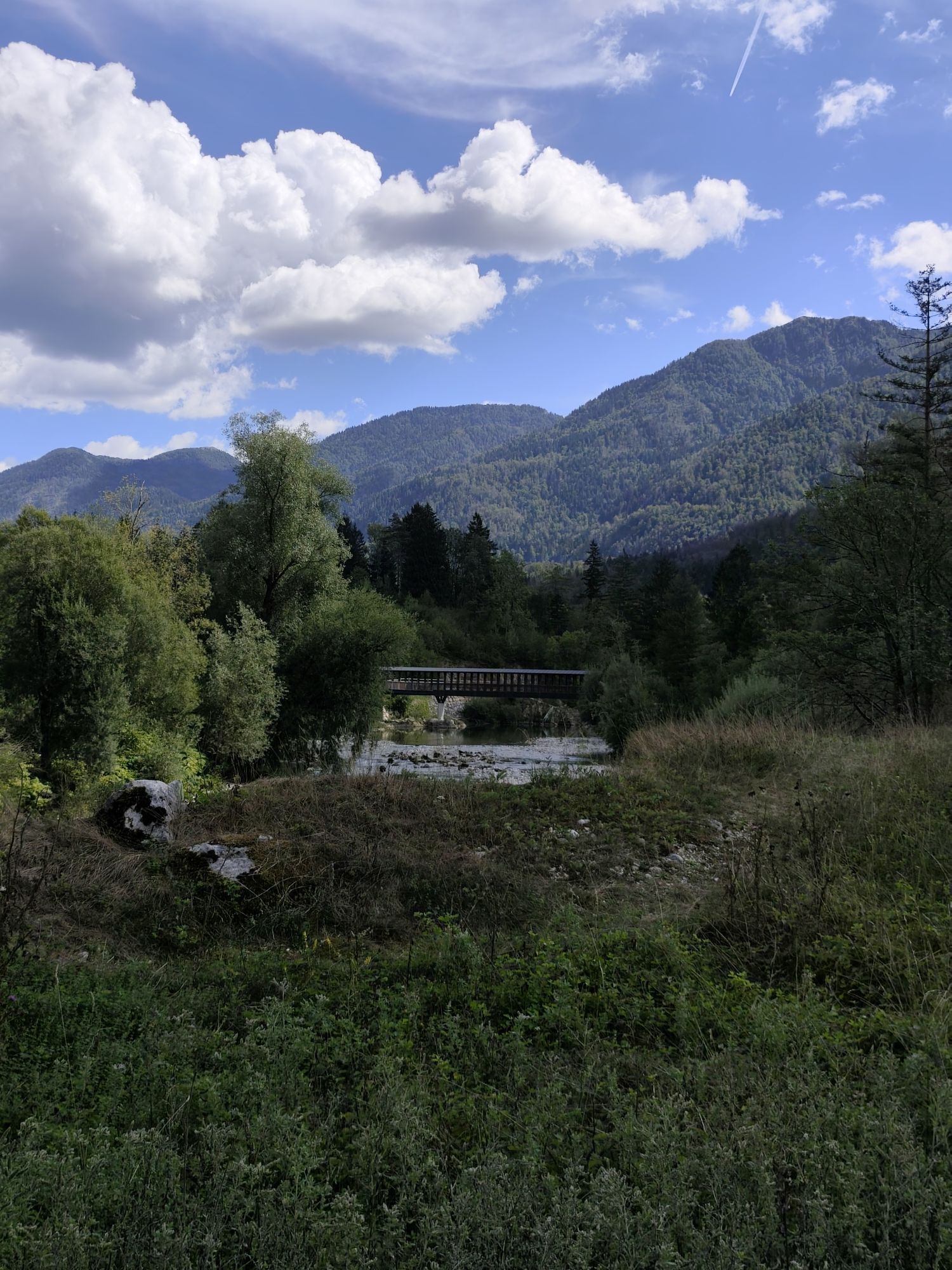
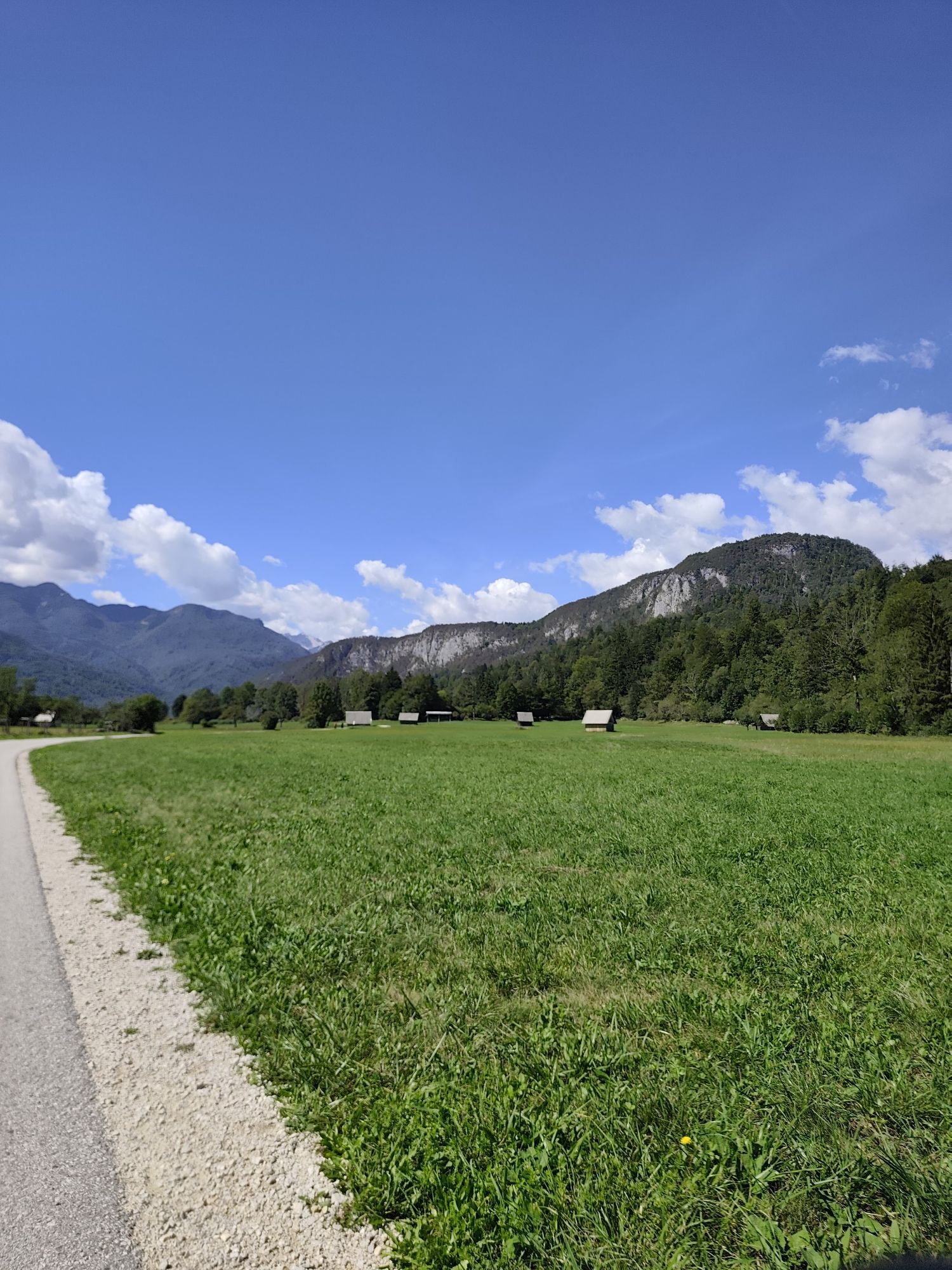
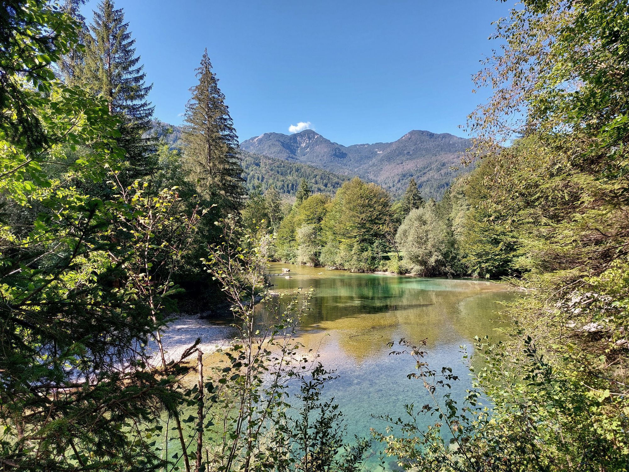
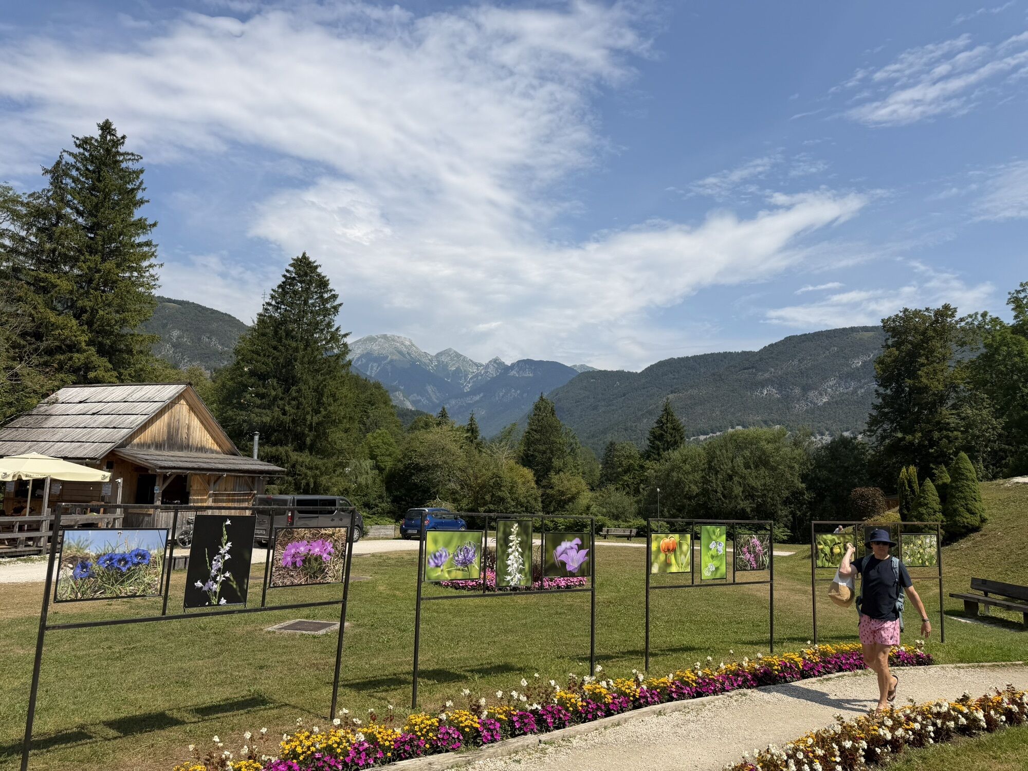
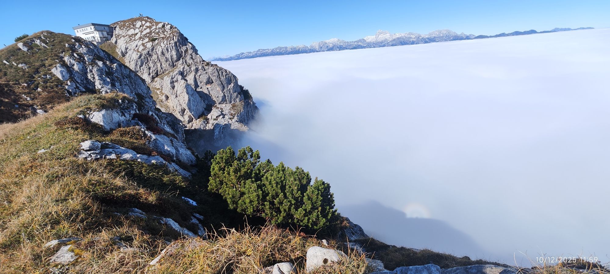
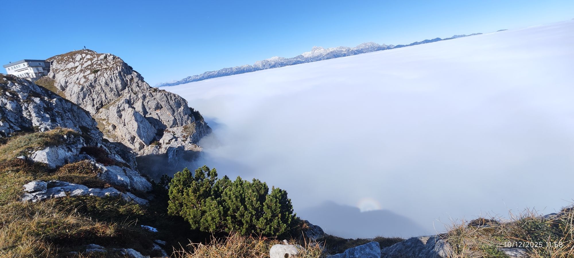
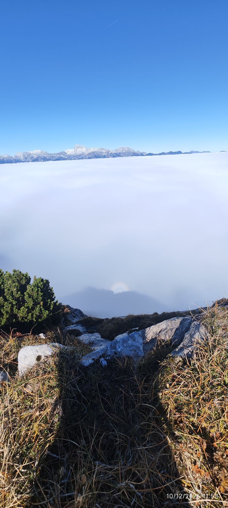
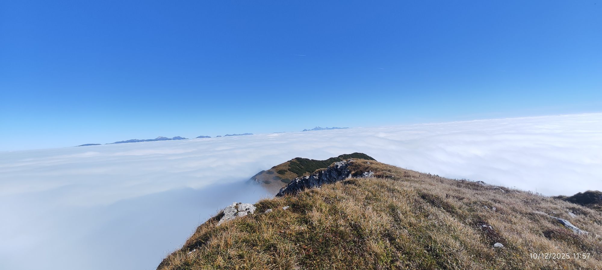
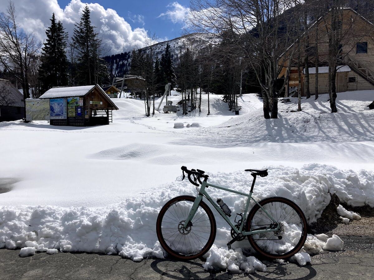
Bohinjsko sedlo is located at 1277 m above sea level and is the area where the well-known Soriška planina ski resort is also found. On the tour you will enjoy cycling along the Klodičeva bike path all...
Bohinjsko sedlo is located at 1277 m above sea level and is the area where the well-known Soriška planina ski resort is also found. On the tour you will enjoy cycling along the KlodiÄeva bike path all the way to Bohinjska Bistrica, where a 12 km climb awaits you, overcoming 800 meters of elevation. When you reach the top of the pass, you can join the long-distance route Juliana Bike or the Slovenian mountain biking route (STKP), which continues towards Baška grapa and the SoÄa valley.
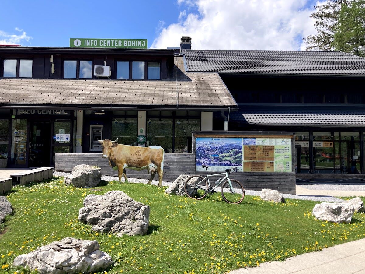
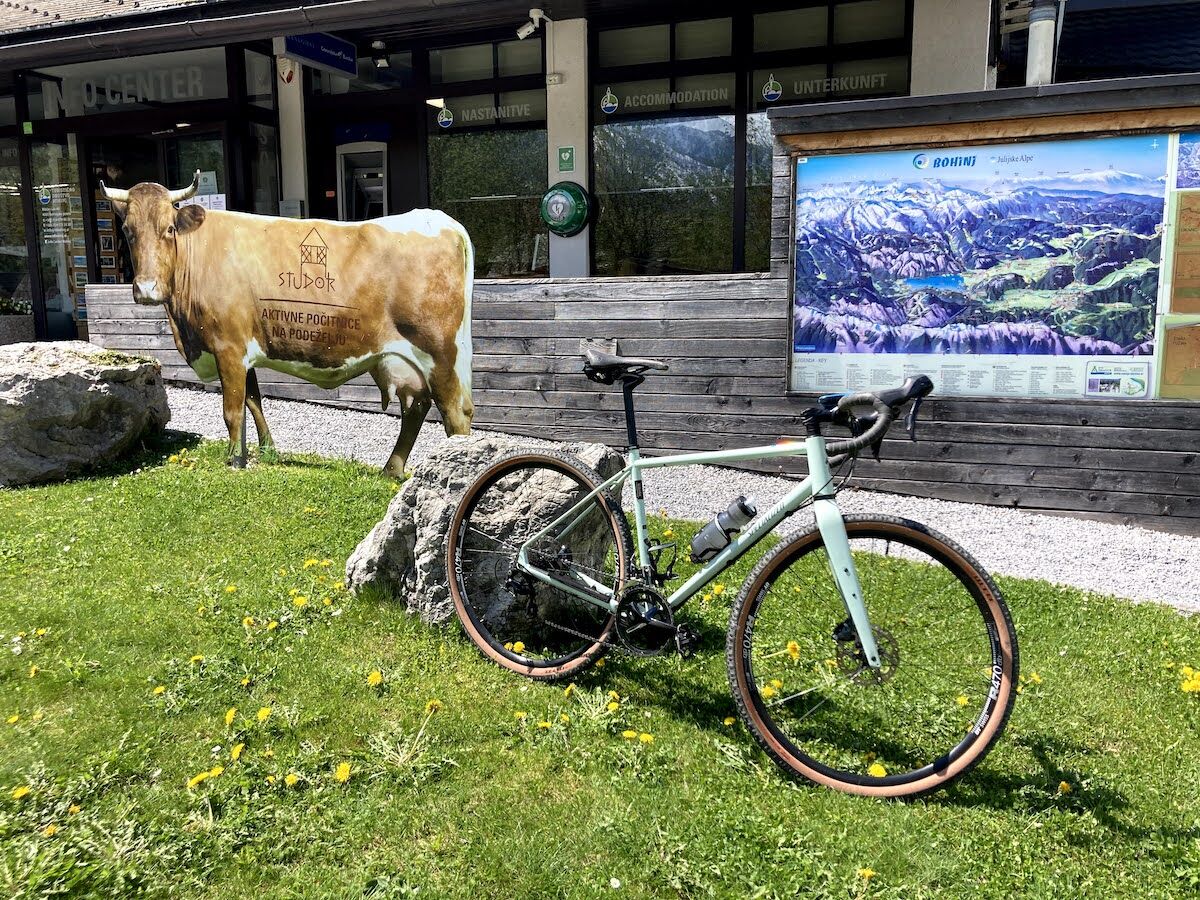
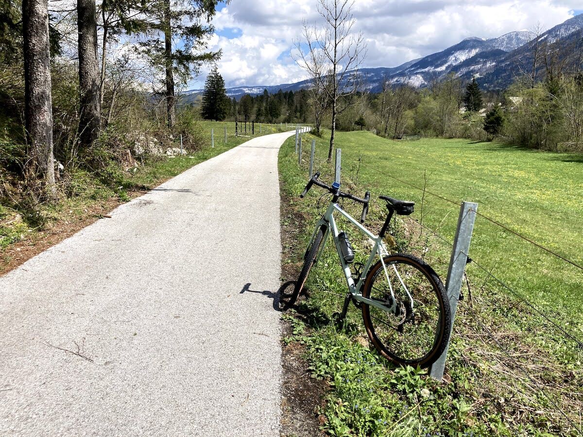
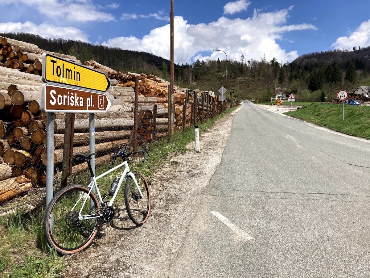
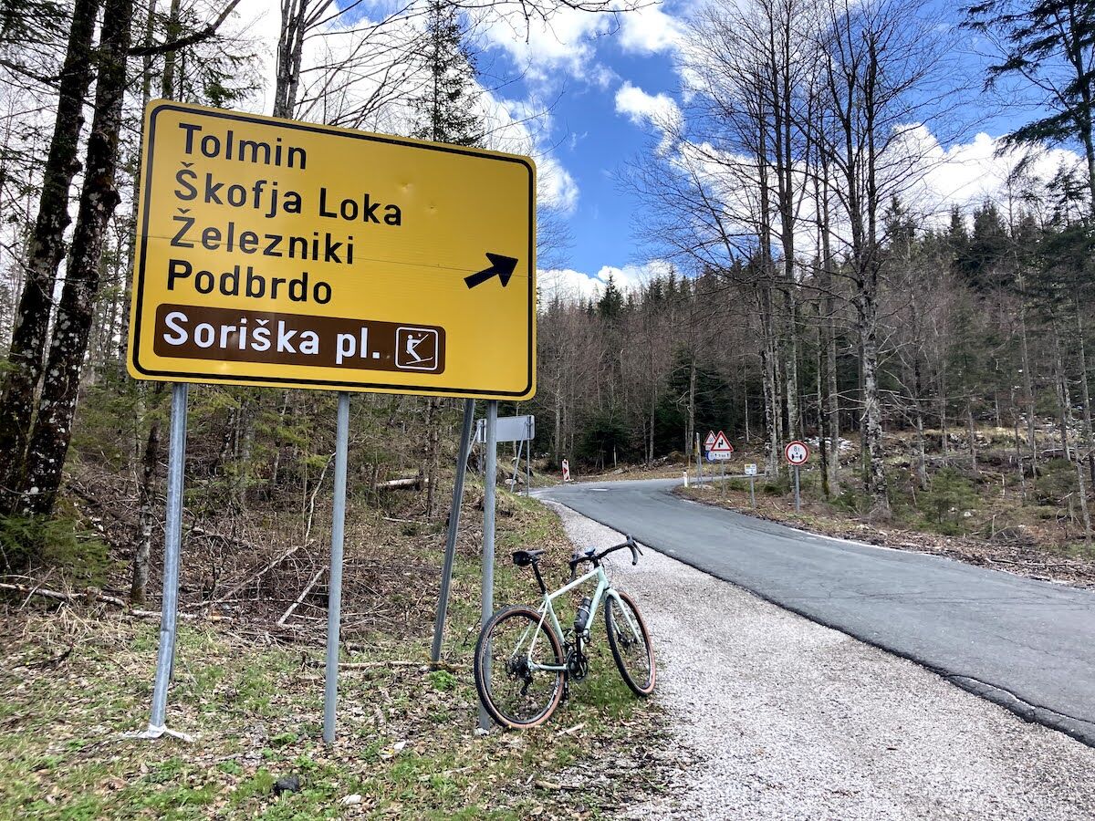
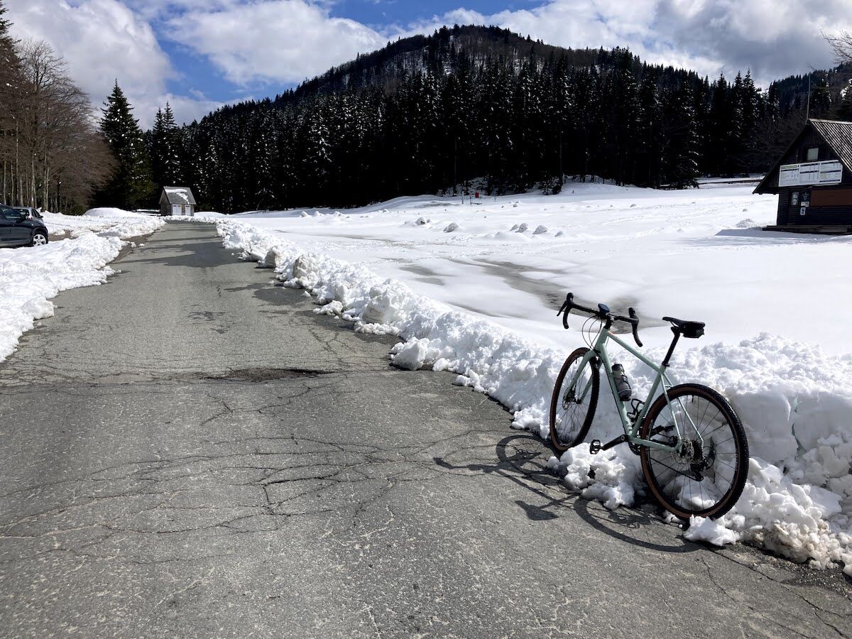

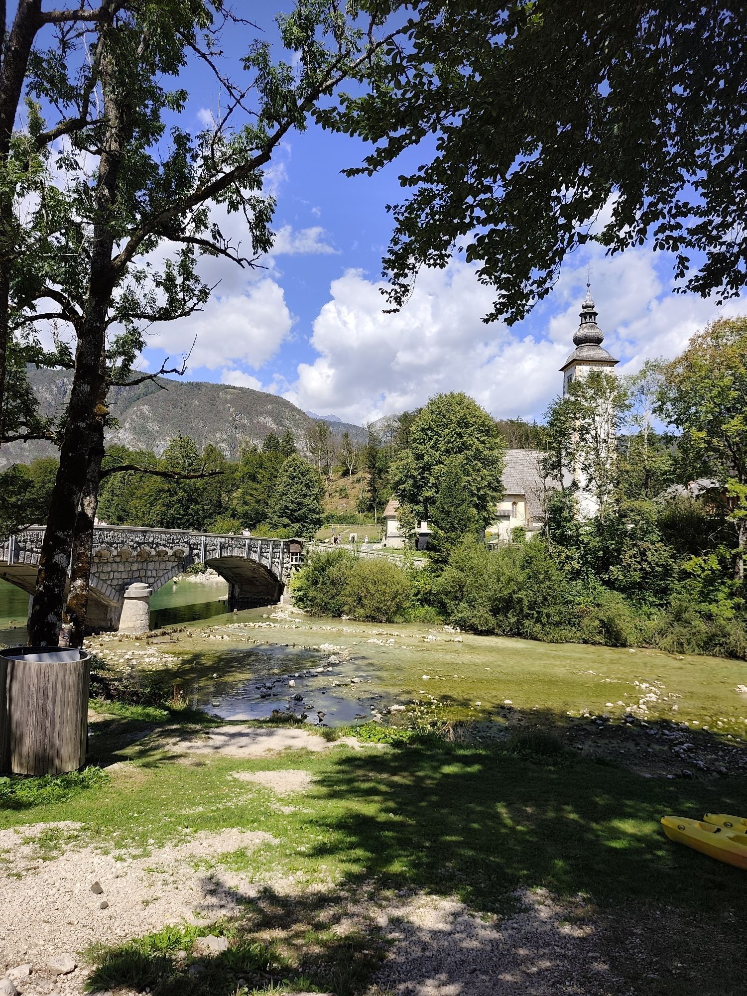
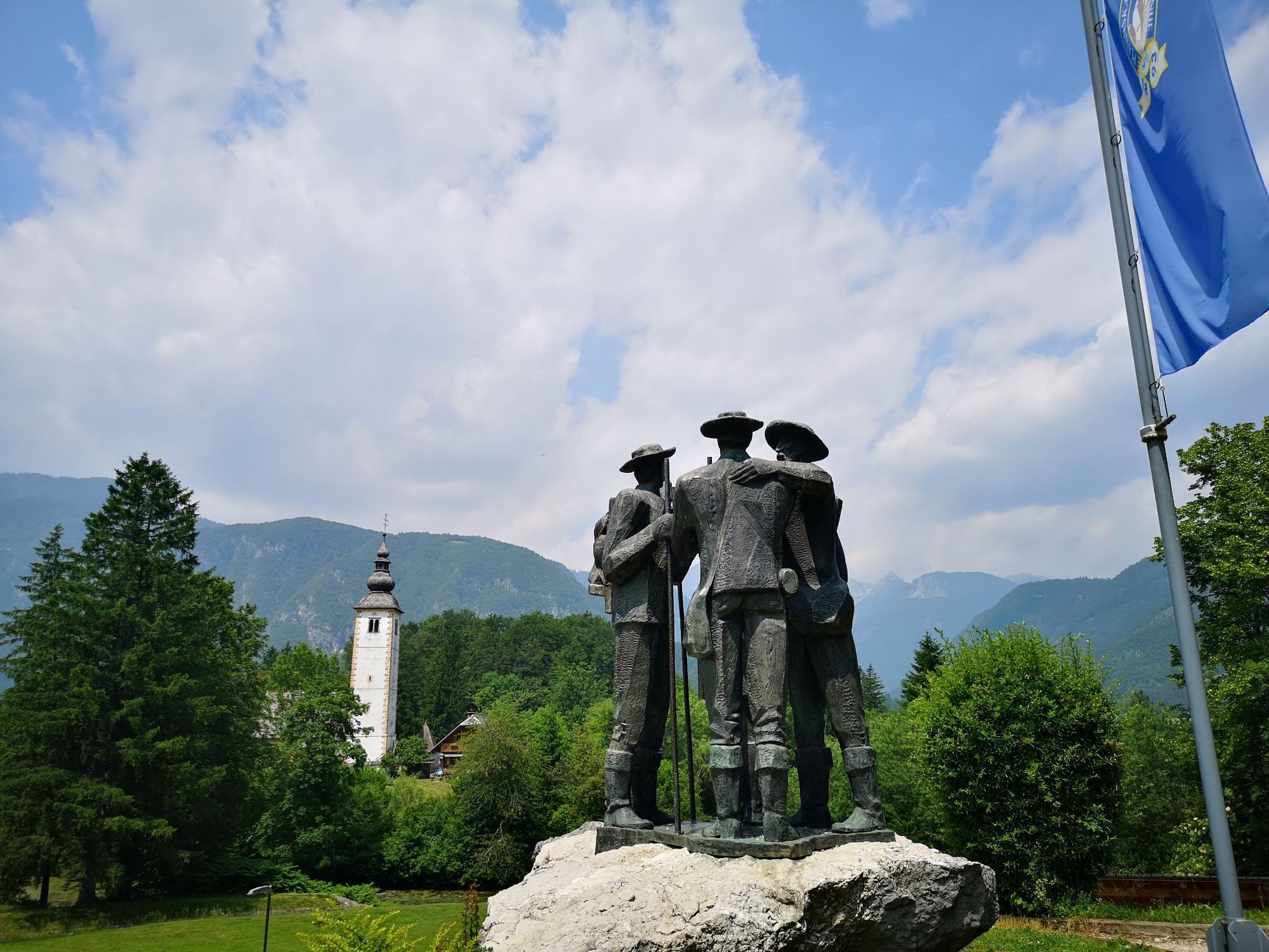
We start the route in the village of RibÄev Laz in front of the Bohinj Info Center. From the parking lot in front of the info center, turn left towards Lake Bohinj. When you reach the bridge, turn right and cross it. To the right, you will leave the famous church of St. John the Baptist. Continue on the road to the village of Stara Fužina and at the first intersection turn right over the bridge. After crossing, keep right and join the marked bike path, which we follow all the way to Bohinjska Bistrica. After about 5 kilometers of cycling, you will reach a small forest where the path branches off to the right. The blue signs of the Slovenian mountain biking route can also help. Turn right and after a few dozen meters cross a wooden bridge near the Danica campsite. Follow the bike path past the campsite, the football field, and the parking lot until you reach the intersection with the main road, where you turn left and join it. Continue straight to the roundabout, where take the 2nd exit (direction Soriška planina). Continue straight past the Health Center and the TripiÄ hotel, then at Cecconi Park (on the left) turn left. Continue straight past the park (on the left) and the Sunrose 7 hotel (on the right) and cross the Belca stream. After crossing the bridge, turn right and go under the railway tracks, continue along the road past the Lip factory (on our left). When you reach the intersection, turn left (opposite there is an electric transformer) and after a few meters right (direction Tolmin / Soriška planina). After a few hundred meters the road starts to climb. Stay on the main road and after a few kilometers pass the village of Nemški Rovt (on our right) and continue climbing. After about 4 kilometers, reach the intersection where turn right (direction Tolmin, Škofja Loka, Železniki, Podbrdo, Soriška planina). A further 4 kilometers of climbing await before you arrive at Bohinjsko sedlo, where we end our route.
a technically flawless bike (road, gravel, mountain, trekking or e-bike)
helmet, gloves, sunglasses
food and drink from the backpack (refreshments possible at the destination)
spare inner tube, pump, multitool, first aid
personal ID, health insurance card
The route runs partly along the bike path from Bohinjska Bistrica and then on the state road, so caution while riding is advisable. Be especially careful on the descent from Bohinjsko sedlo if you are returning to the starting point by the same route.
2
Webové kamery z prohlídky

Aktivity na trase


Oblíbené prohlídky v okolí
-
4.7
Heart trail around Bled lake
středníTematická stezka 5.93 km -
4.7
Viševnik 2050m
světloHorská turistika 6.97 km -
4.5
Savica Wasserfall
středníTuristika 1.89 km -
4.6
Roundthelake
světloTuristika 11.4 km -
4.2
Slap Slavica
středníTuristika 9.62 km -
4.9
Mala Osojnica, Bleder See
světloTuristika 2.68 km -
4.6
Rudno polje-Viševnik
středníZimní turistika 7.15 km -
4.9
Mostnica Gorge
středníTuristika 4.93 km -
4.5
Mostnica Gorge, Bohinj, Slovenië
středníTuristika 9.48 km -
4.7
Bohinj
středníTuristika 22.1 km
Pěší turistika a stopování


Nenechte si ujít nabídky a inspiraci pro vaši příští dovolenou
Vaše e-mailová adresa byl přidán do poštovního seznamu.





