






BOHINJ I1: TIC Ribčev Laz - Rudno Polje - Zajavornik pasture
Úroveň obtížnosti: 2
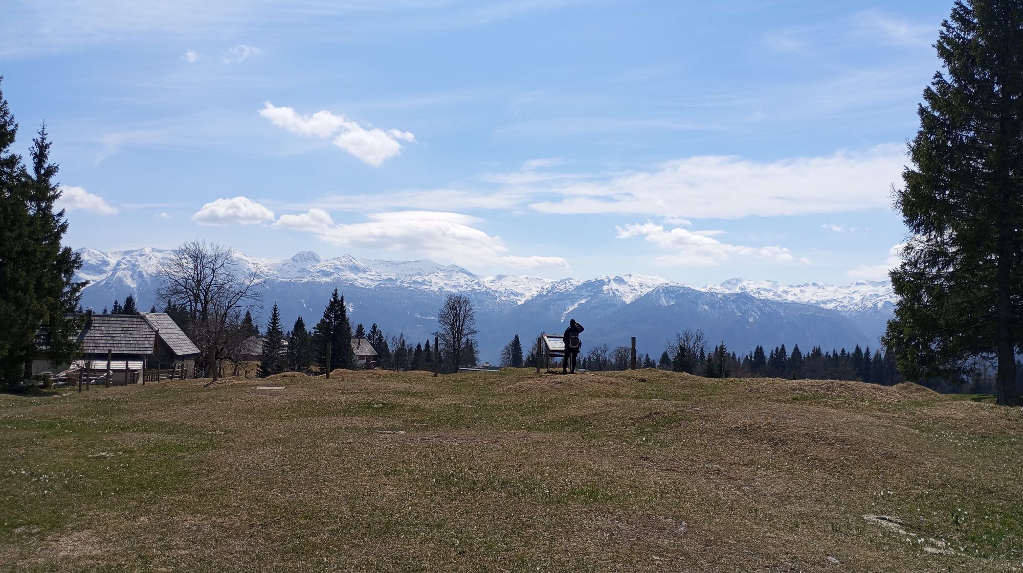
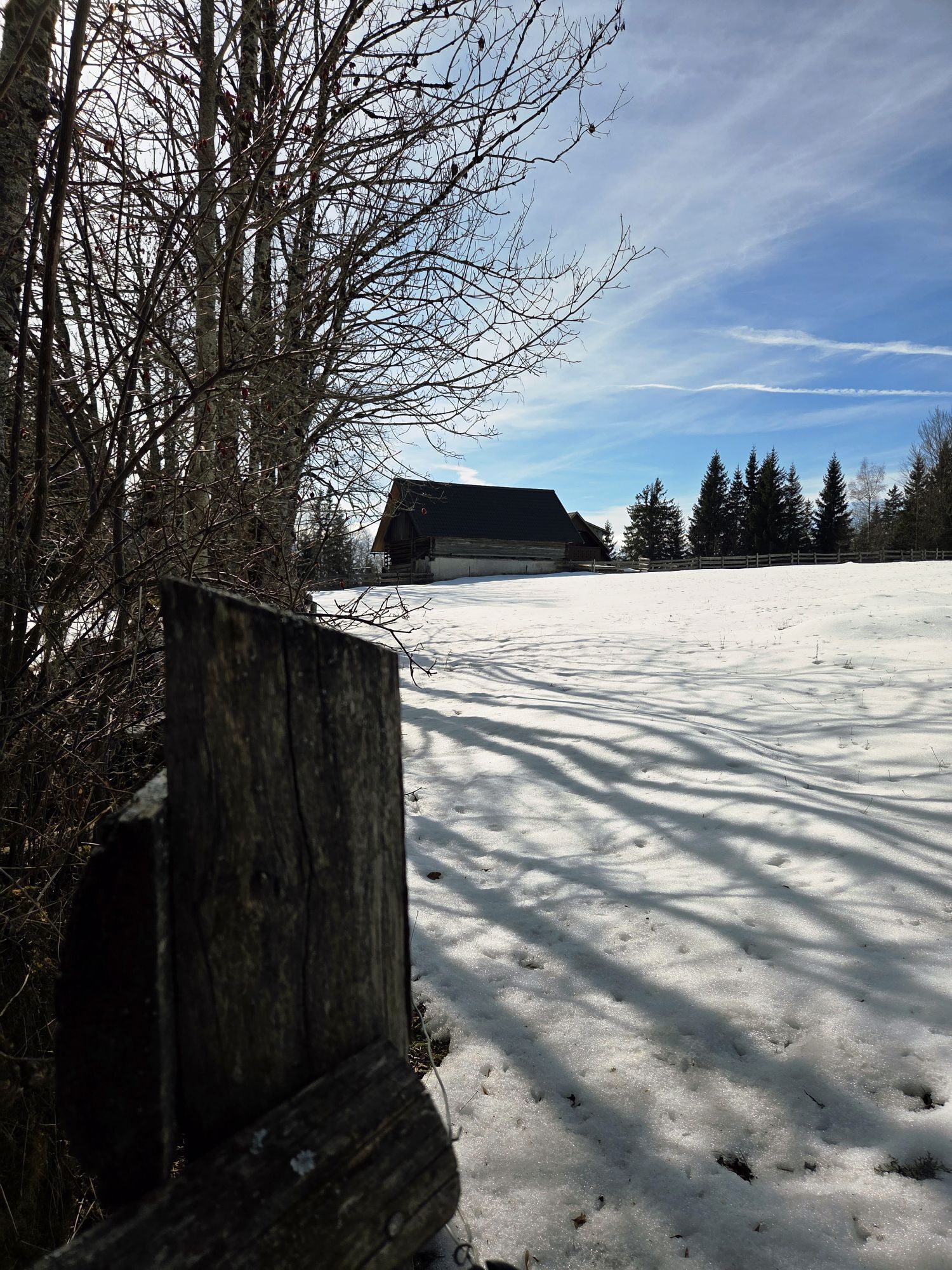
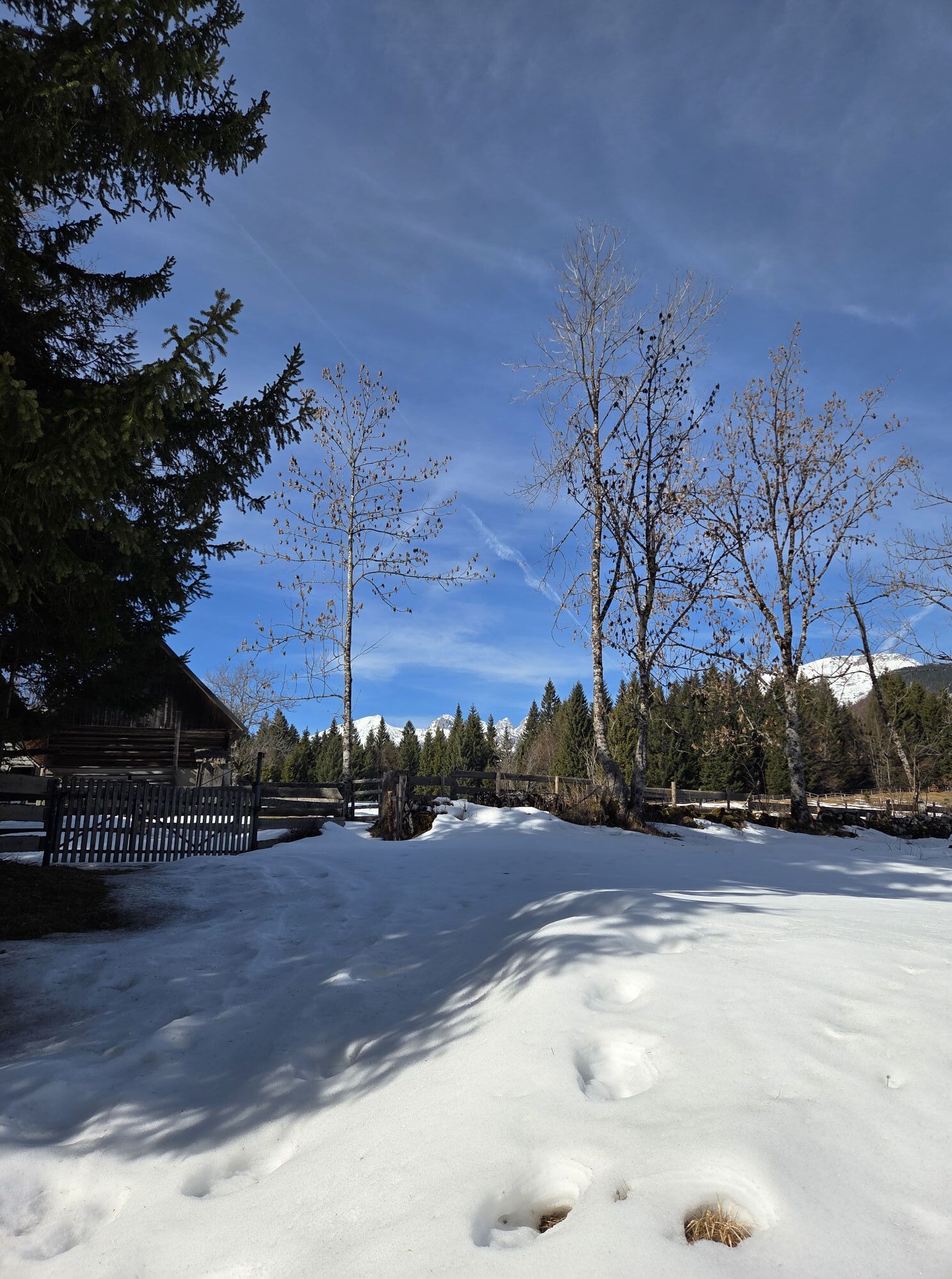
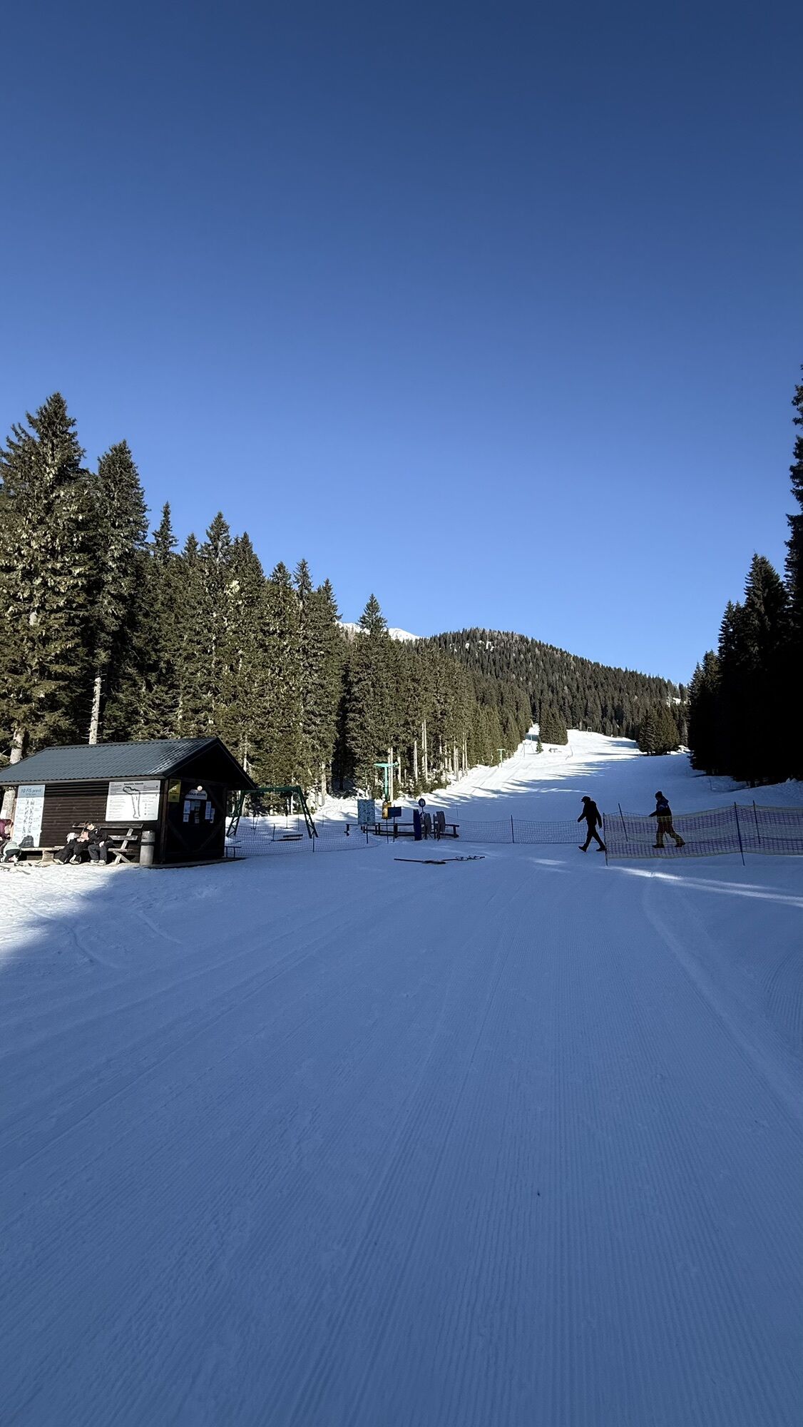
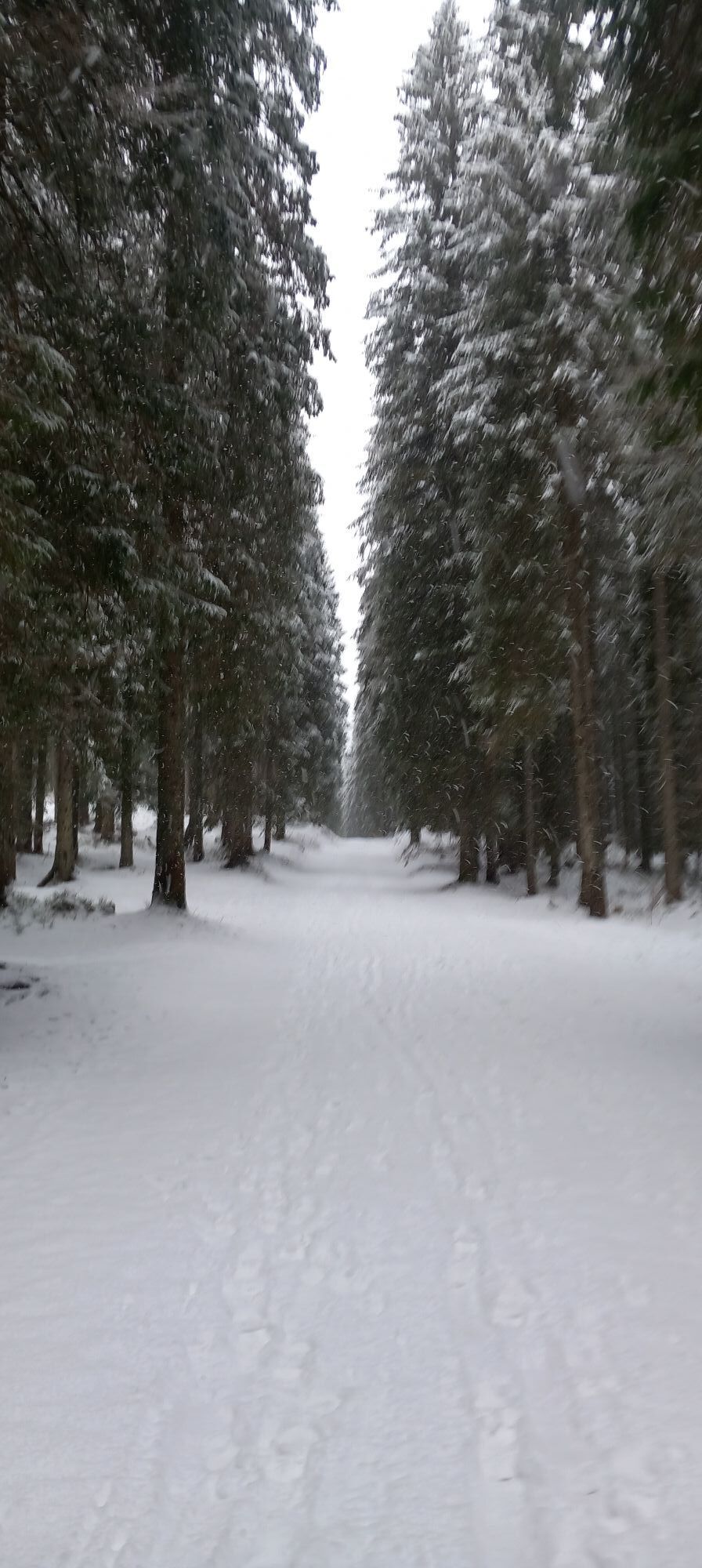
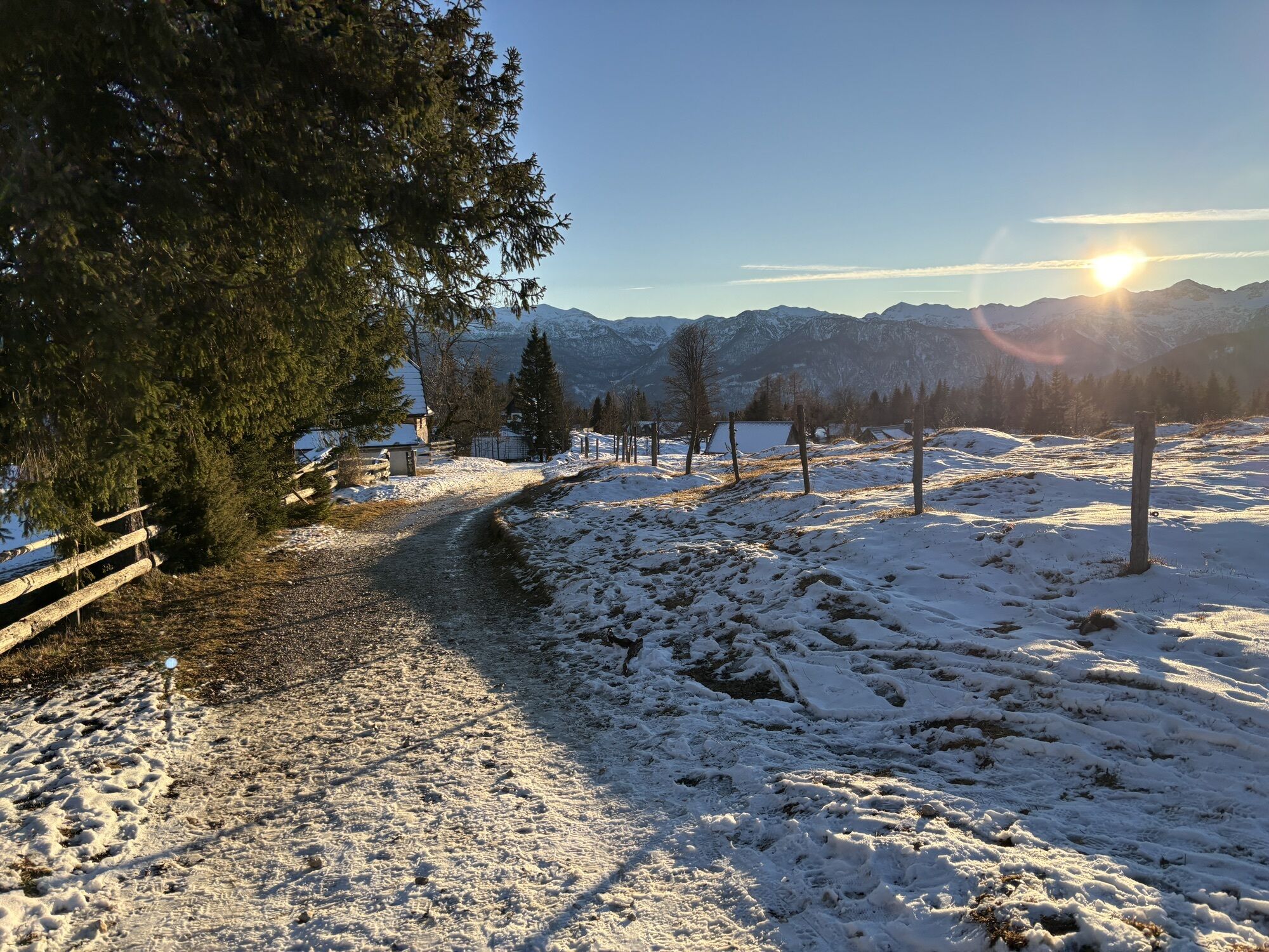
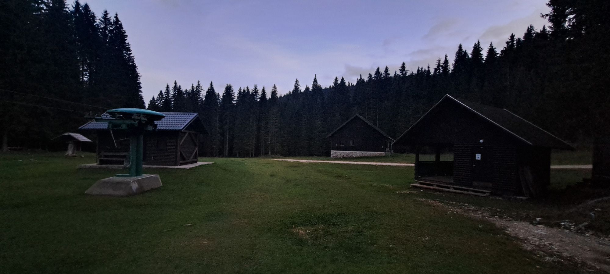
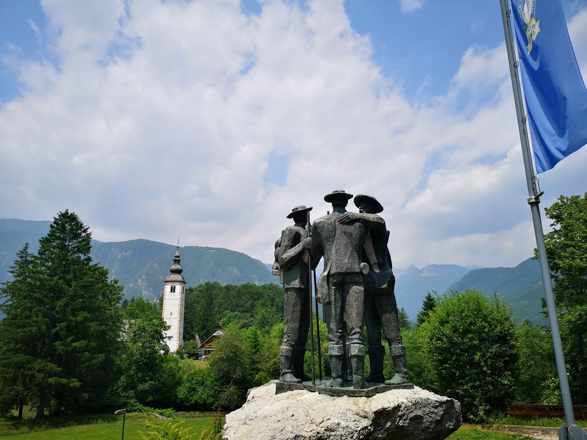
On the route, you will enjoy riding along Klodič's cycling path through the upper Bohinj valley, then climb over Uskovnica pasture all the way to the biathlon center at Rudno Polje. From there, only a...
IMPORTANT!
The tour passes through "Quiet Zones"; cycling in these areas is permitted only between June 15 and October 31.


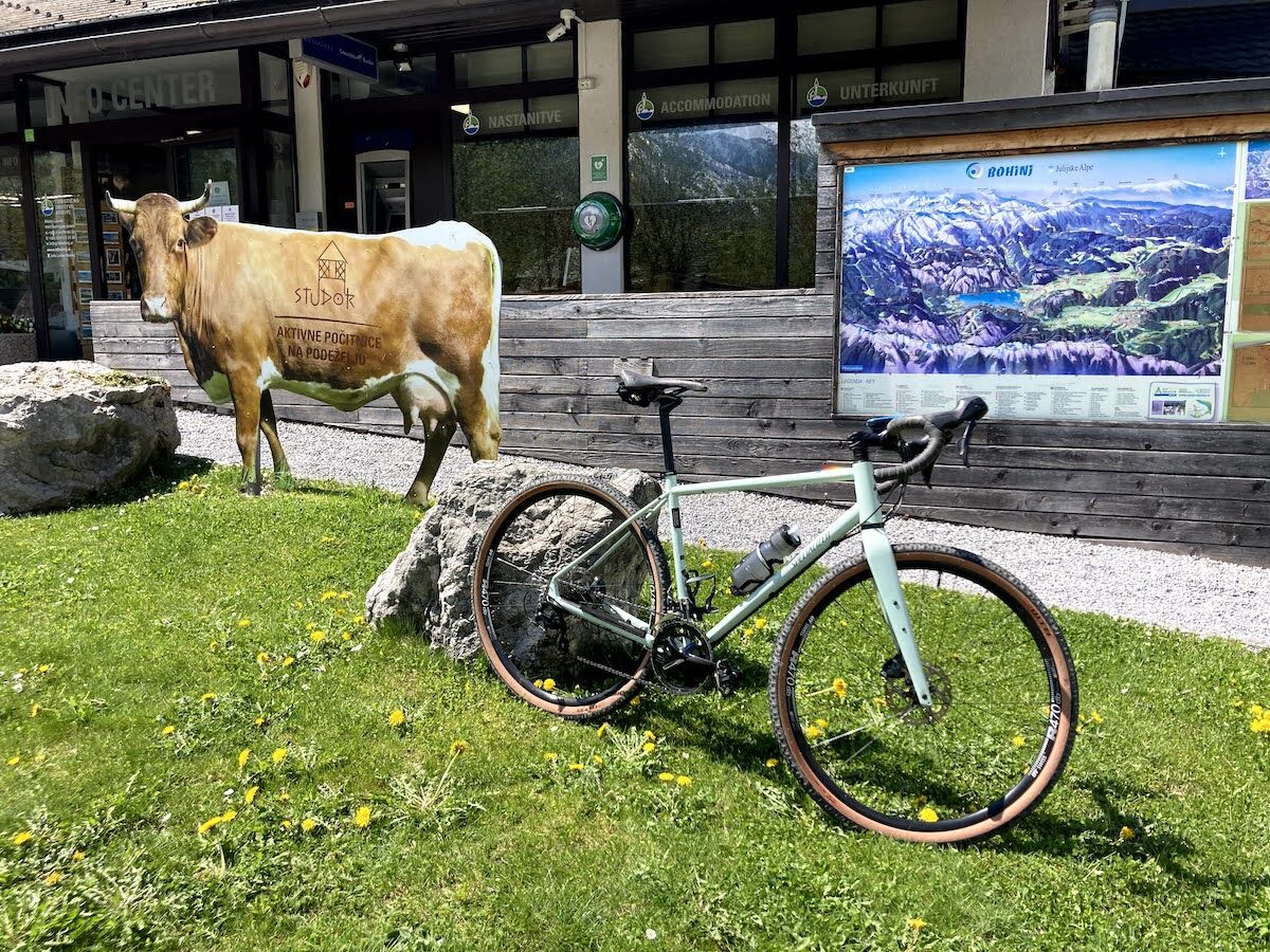
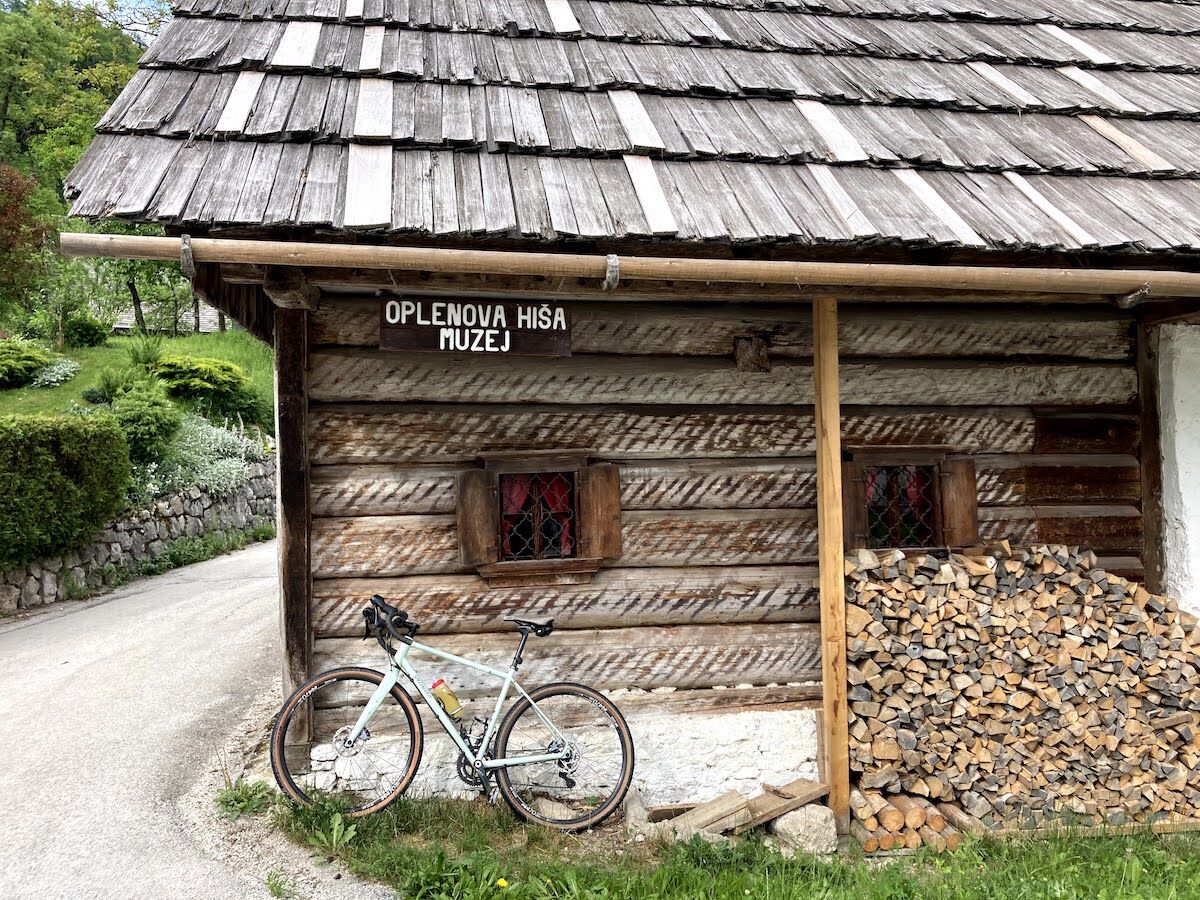
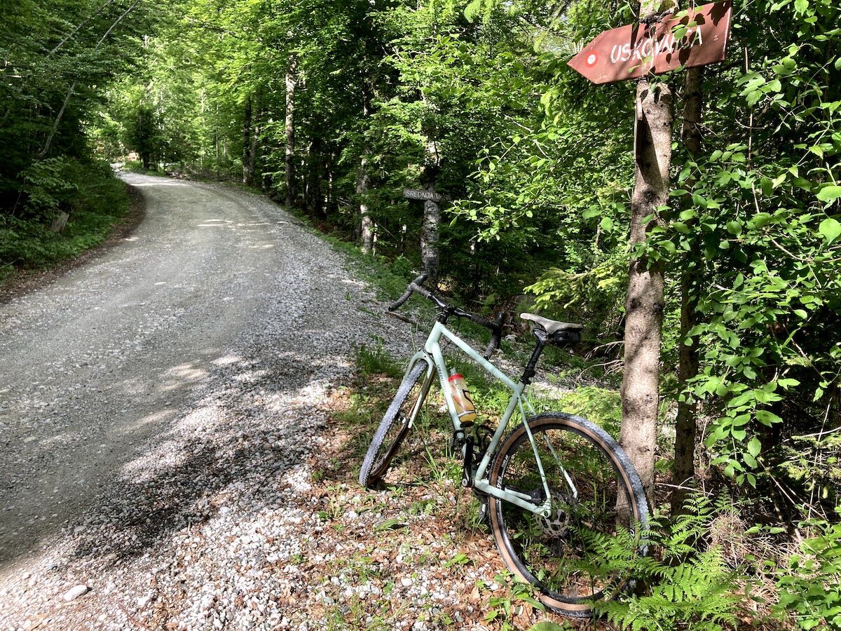
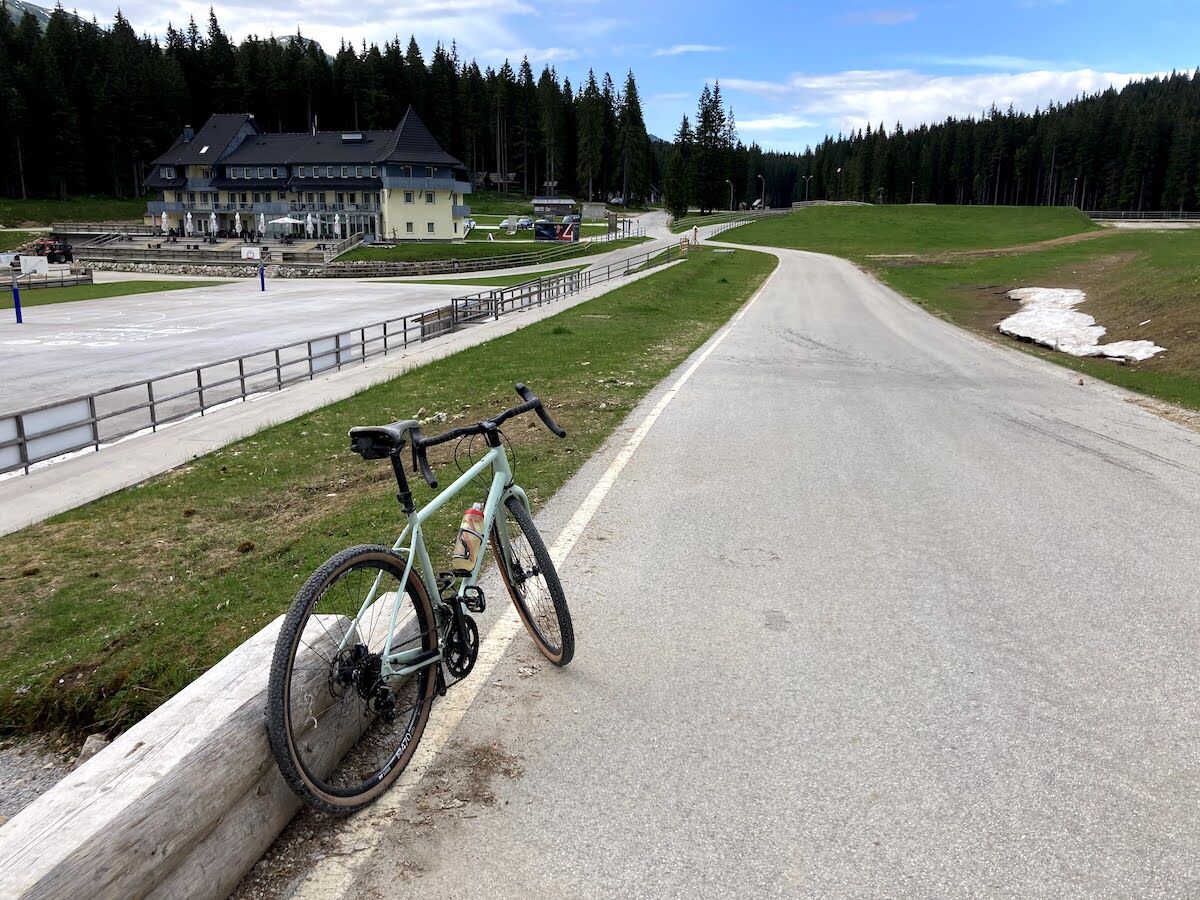
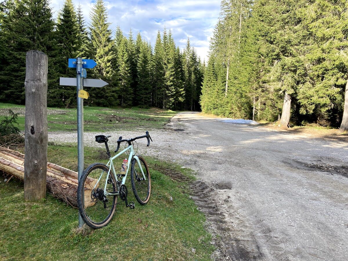
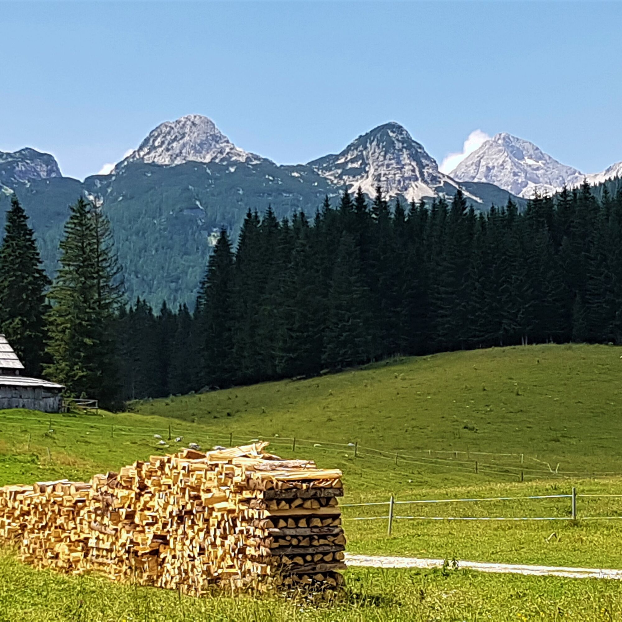

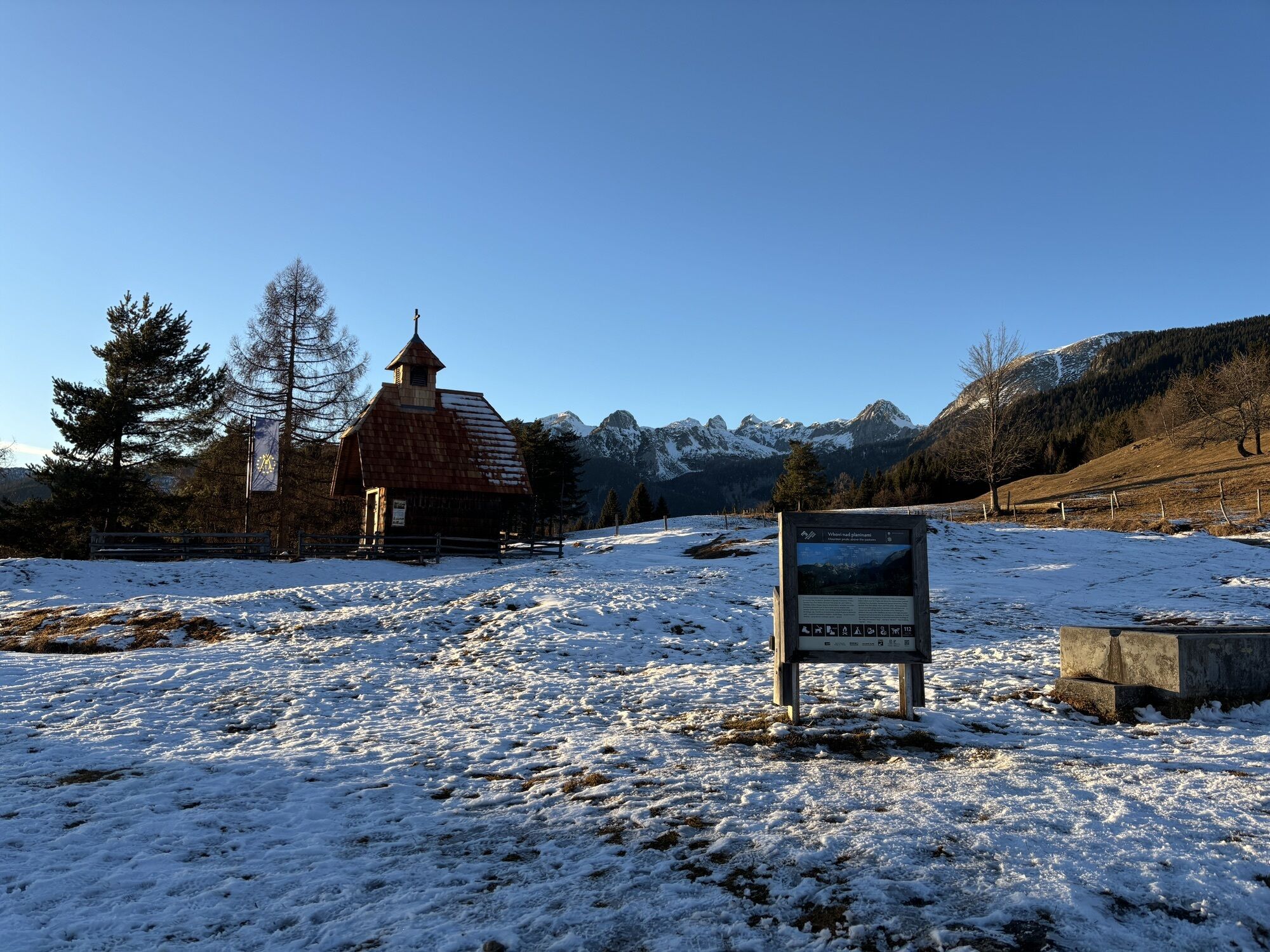
The route starts in the village of RibÄev Laz in front of the Bohinj Info Center. From the parking lot in front of the info center, turn left toward Lake Bohinj. When you reach the bridge, turn right and cross it. On the right, you will pass the famous Church of St. John the Baptist. Continue on the road to the village of Stara Fužina and, at the first intersection, turn right over the bridge. After crossing, turn left onto the cycling path and follow it all the time. You will leave Stara Fužina village on your left and continue cycling through the upper Bohinj valley. Before the short climb, cross the main road through the valley, then continue through the village of Studor, located under the mountain of the same name. In the village at the chapel, turn left and continue past the Oplenova House museum (on the right). Leave Studor and ride through beautiful meadows to the edge of the village of Srednja vas. There, turn sharp left uphill toward Uskovnica pasture. The surface becomes gravel. Follow approximately 7 km of climbing to Uskovnica pasture, where you can take a break in the mountain hut if desired. When you reach the chapel on the pasture (there is also a trough where you can refill water), continue toward Rudno Polje. At the "Razpotje" intersection, turn left (direction Rudno Polje) and continue a gentle climb. After a few hundred meters before the pasture fence, turn left and continue climbing. When you reach the intersection leading to the parking lot for KonjšÄica pasture, turn sharply right and follow the forest road that leads to the biathlon center at Rudno Polje. Leave the center on your left and at the first intersection turn left toward Viševnik/Triglav. Continue with a gentle climb to the Viševnik ski resort, which you leave on your right. After a few hundred meters of climbing, reach the intersection where you turn right (direction: Srenjski pass/Bled cabin at Lipanca) and cross the ski resort on the gravel road. The path continues to gently climb until the quarry, which will be on your left. Start descending until the first intersection, where you turn left. Continue descending, and soon the road leads to the parking lot "by the monument," where turn right. After about 1.5 km, arrive at the intersection by Zajavornik pasture (on the right), where you can continue on Juliana Bike.
technically flawless bike (gravel, mountain, trekking, or e-bike)
helmet, gloves, sunglasses
food and drink from your backpack (refreshment options at the mountain hut on Uskovnica and Hotel Center on Rudno Polje)
spare inner tube, pump, multitool, first aid kit
personal ID, health insurance card
The route partly follows a cycling path and then mostly forest roads on the Pokljuka Plateau. You may encounter forestry machinery on the forest road, so caution while riding is advised.
IMPORTANT: The Pokljuka Plateau is interwoven with forest roads, tracks, intersections, and forks, making it challenging to navigate. For easier orientation, we recommend using GPS tracks on your phone or navigation device and a map with appropriately marked trails.
2
Získejte přehled Vždy živě na místě s více než 9 500 webkamerami. bergfex Jako uživatel Pro si nyní můžete zobrazit odpovídající webové kamery pro mnoho prohlídek v aplikaci prohlídky z. Můžete si tak přímo prohlédnout aktuální podmínky. Oblíbené prohlídky v okolí
- 4,6
Heart trail around Bled lake
středníTematická stezka 5,93 km - 4,9
Krma - Triglav
heavyHorská turistika 18,6 km - 4,7
Viševnik 2050m
světloHorská turistika 6,97 km - 4,5
Savica Wasserfall
středníTuristika 1,89 km - 4,9
Triglav
heavyVysokohorská turistika 12,1 km - 4,6
Roundthelake
světloTuristika 11,4 km - 4,3
Slap Slavica
středníTuristika 9,62 km - 4,6
Wasserfall Pericnik
středníTuristika 5,29 km - 4,8
Triglav lakes hike
heavyTuristika 23,7 km - 4,6
Rudno polje-Viševnik
středníZimní turistika 7,15 km
Pěší turistika a stopování


Nenechte si ujít nabídky a inspiraci pro vaši příští dovolenou
Vaše e-mailová adresa byl přidán do poštovního seznamu.





