







JULIANA TRAIL – overall tour

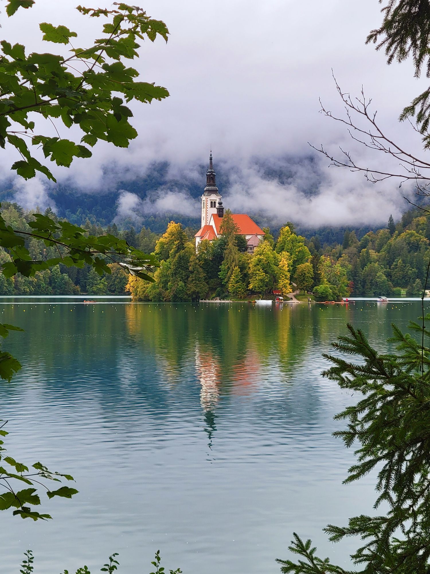
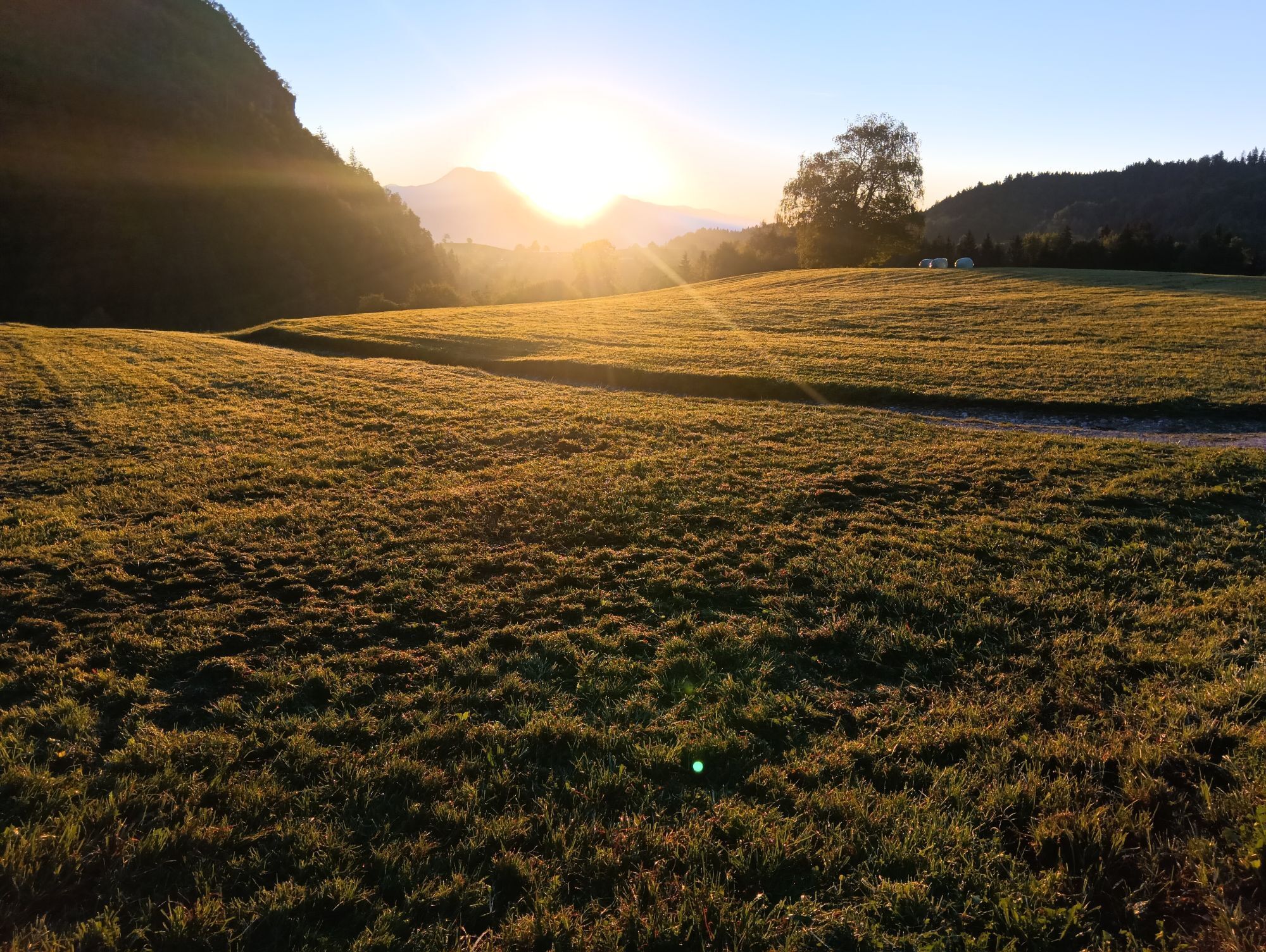
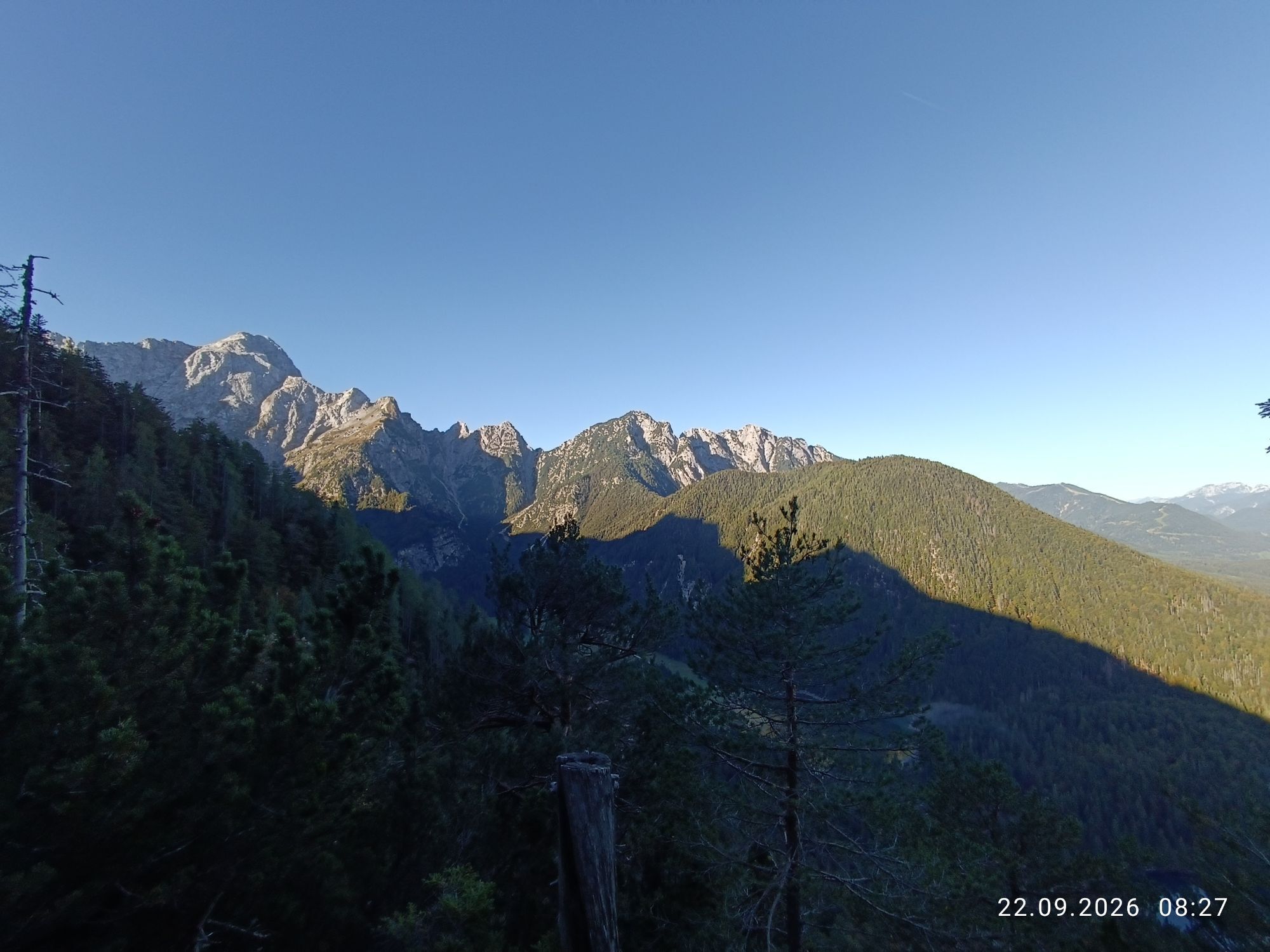
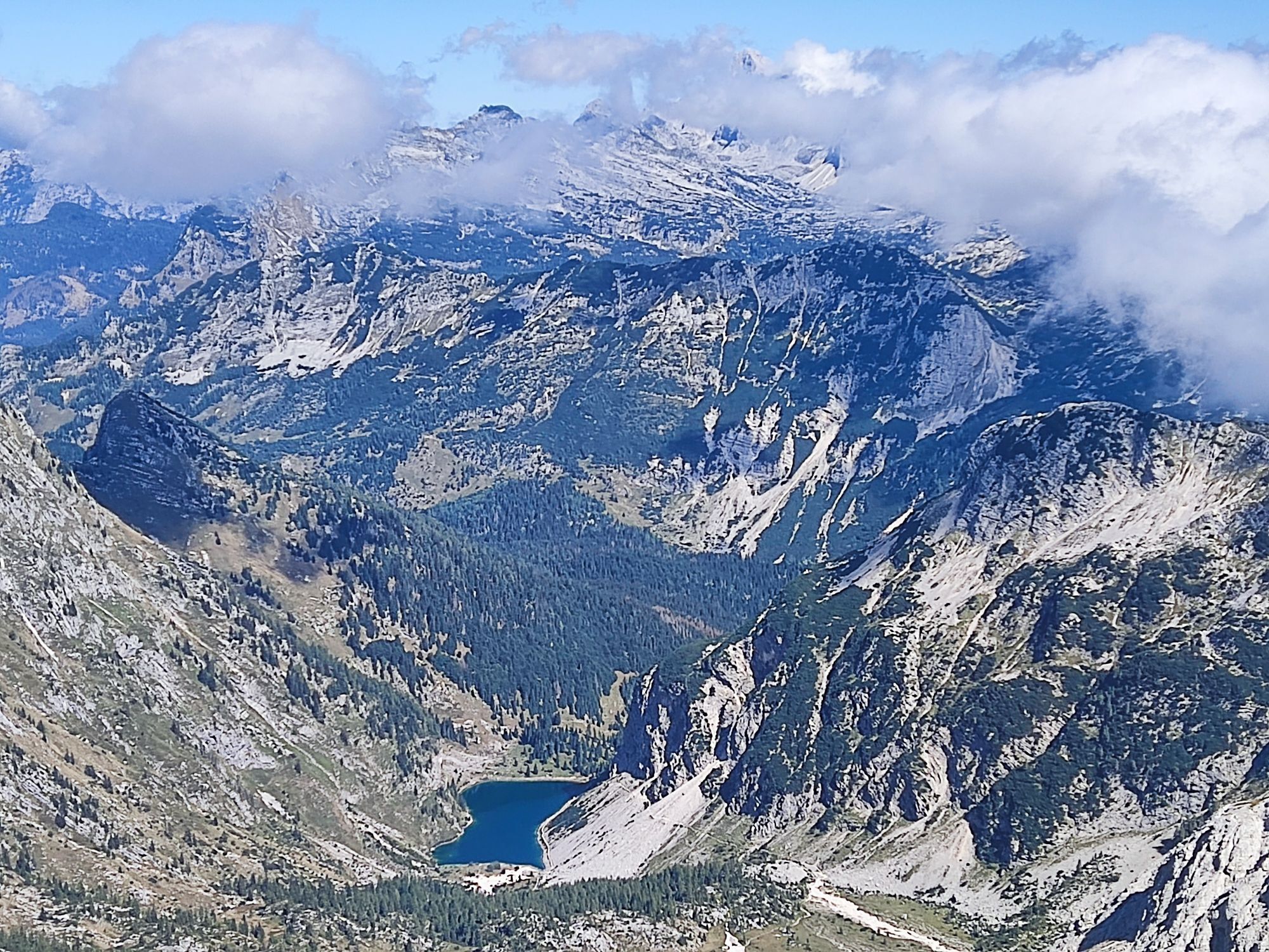
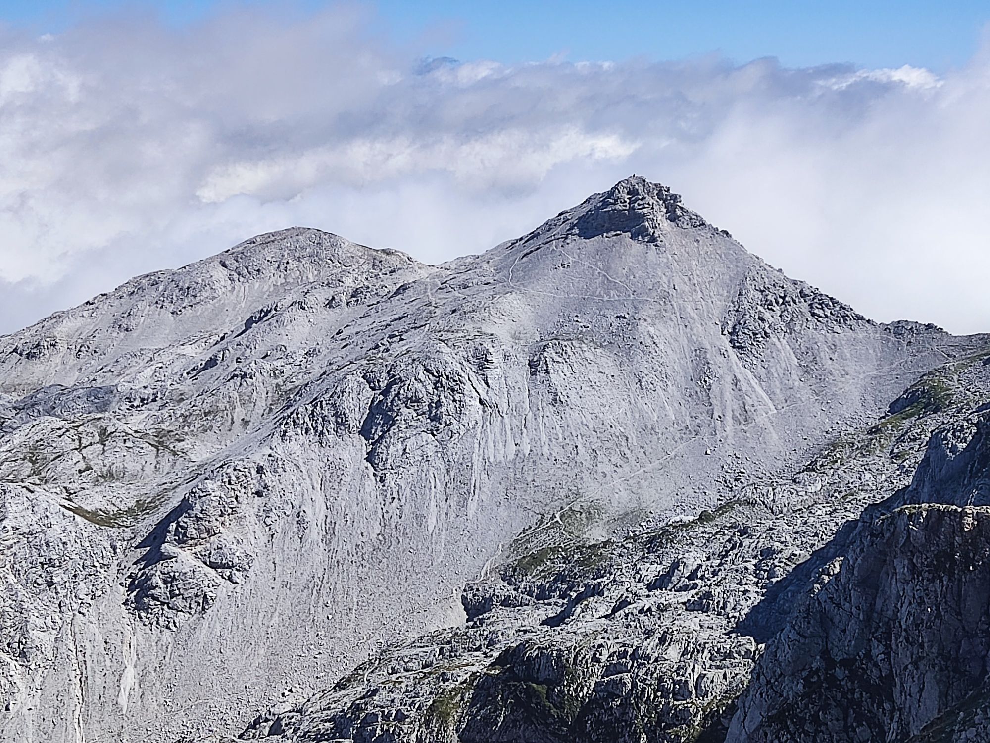
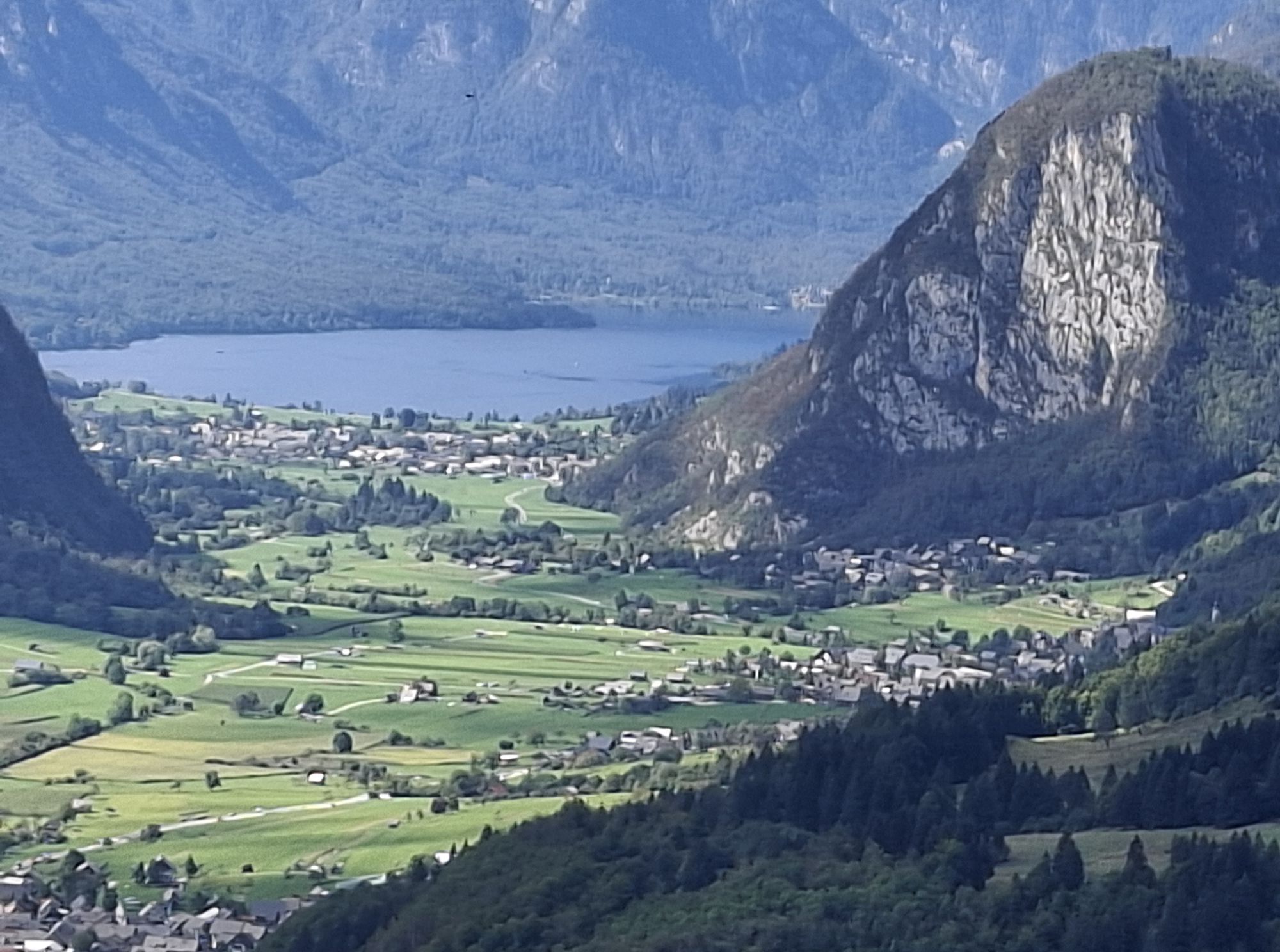
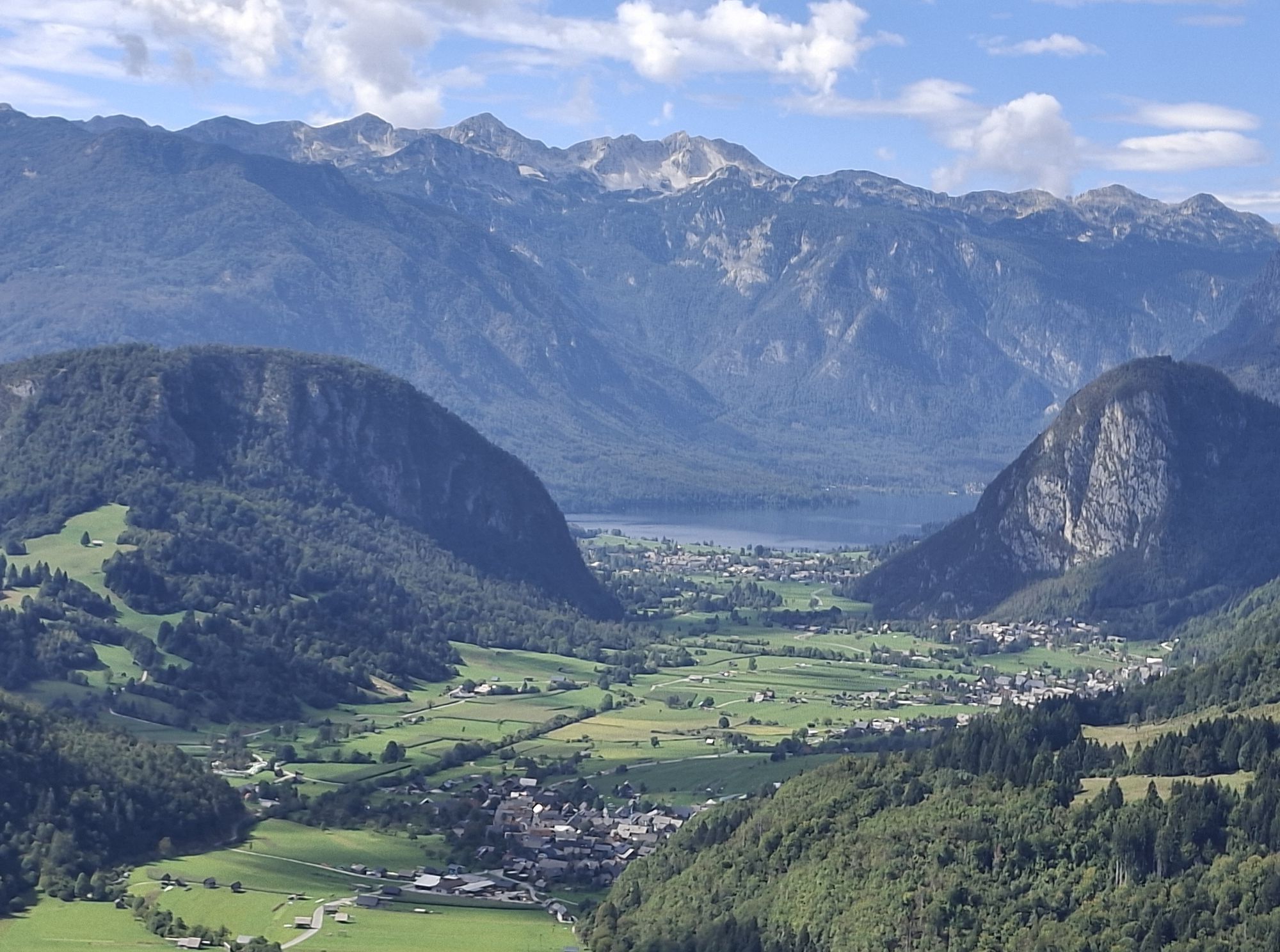
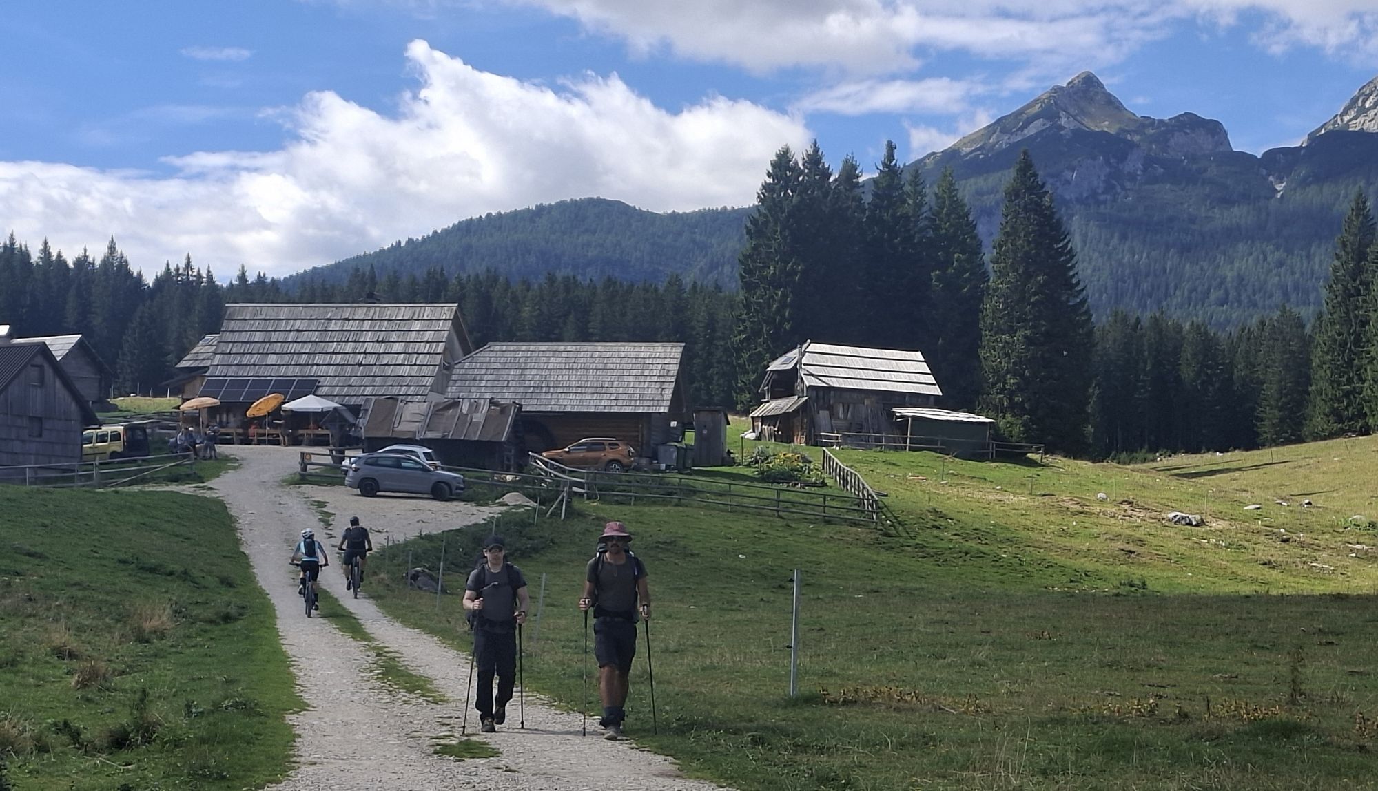
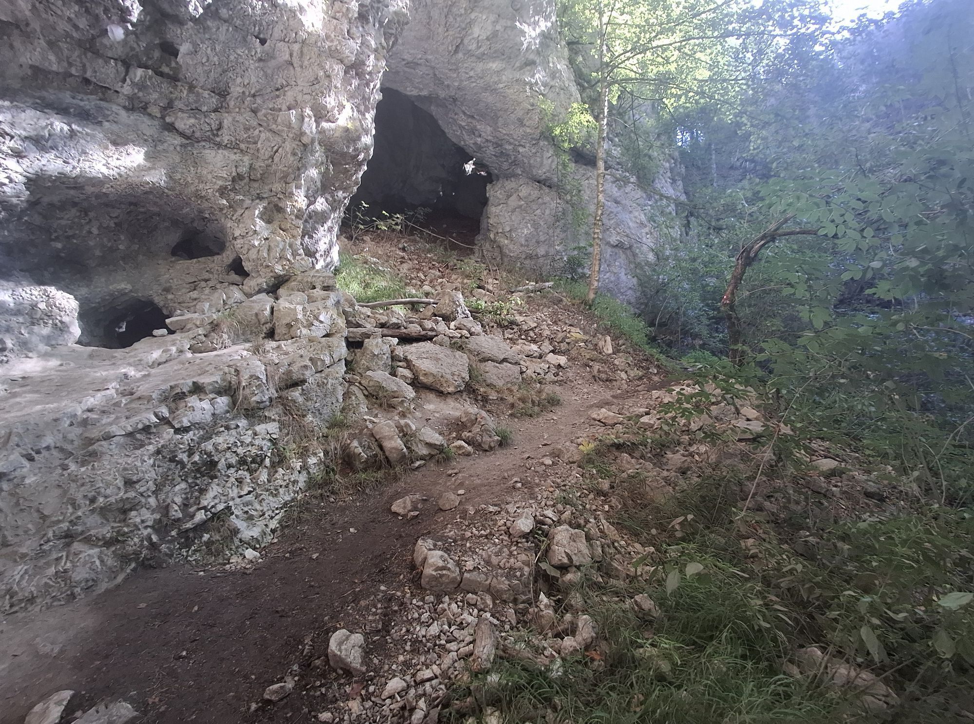
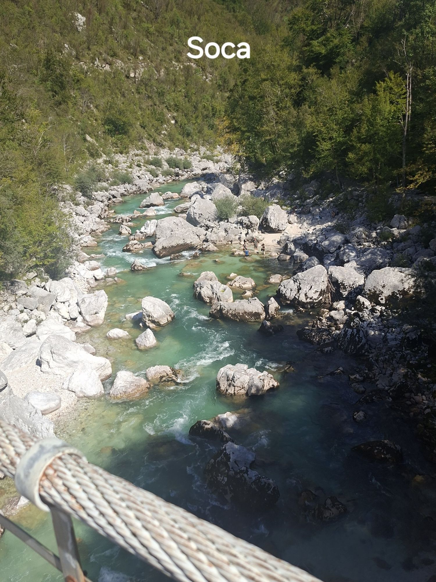
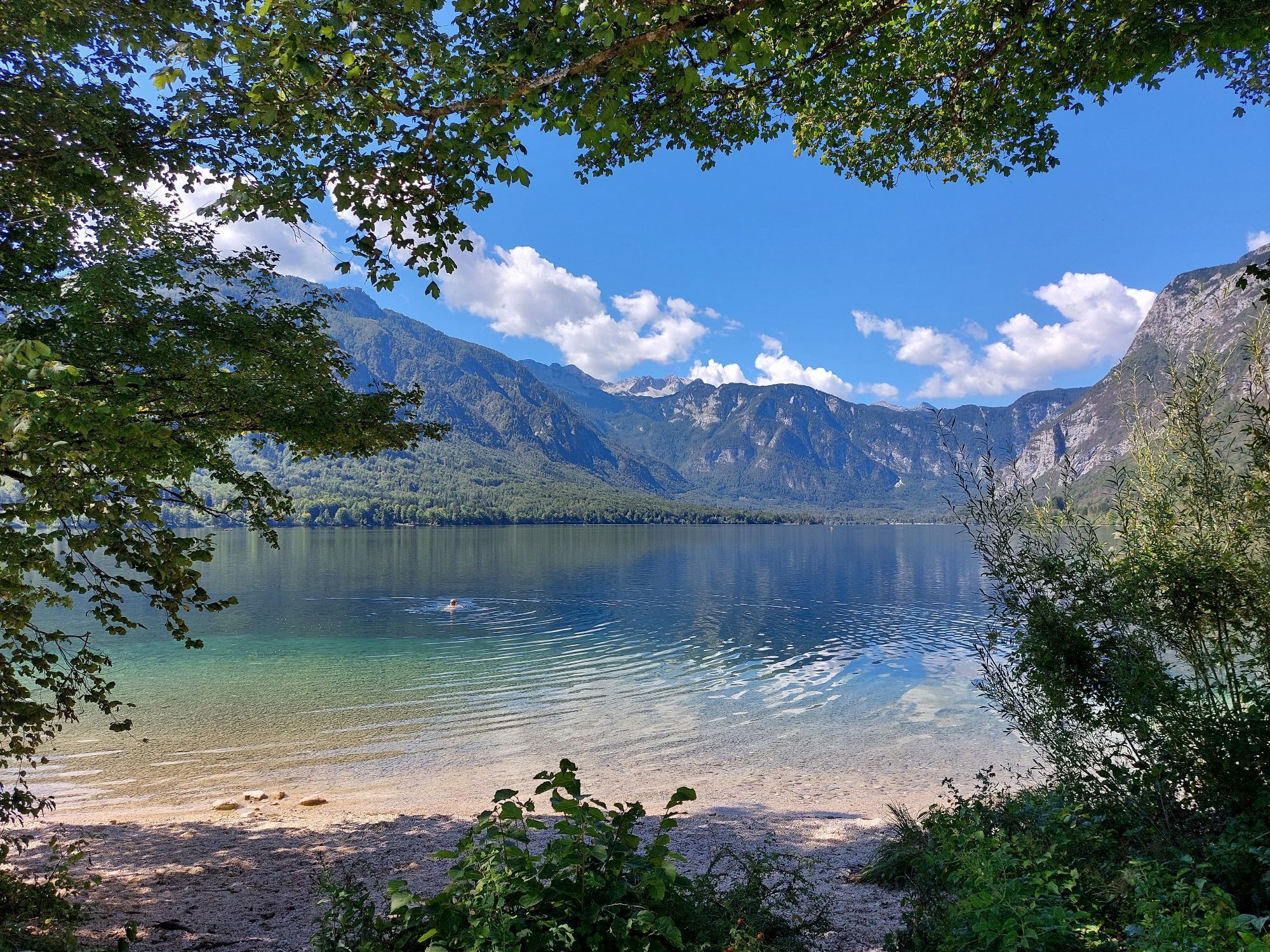
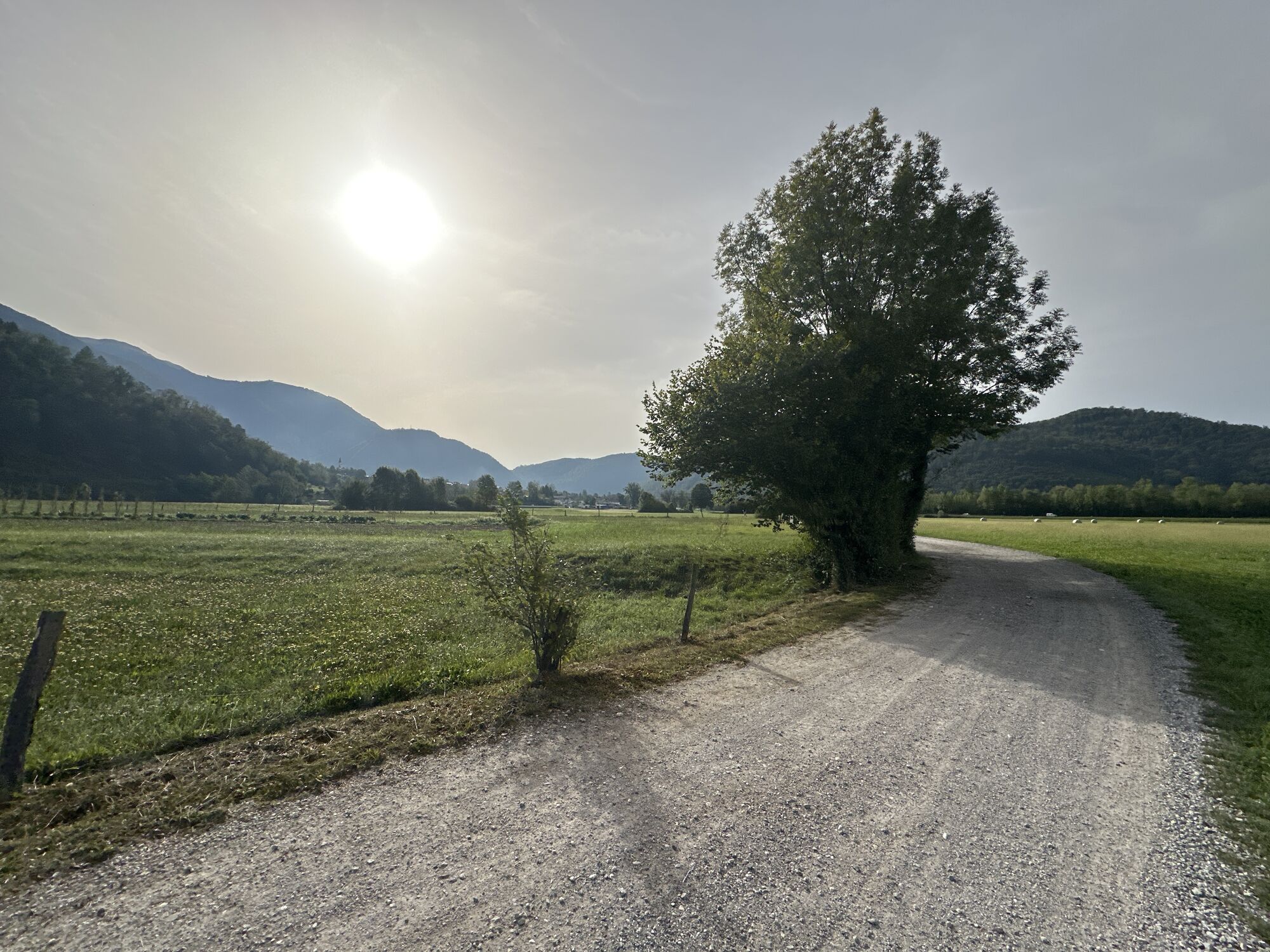
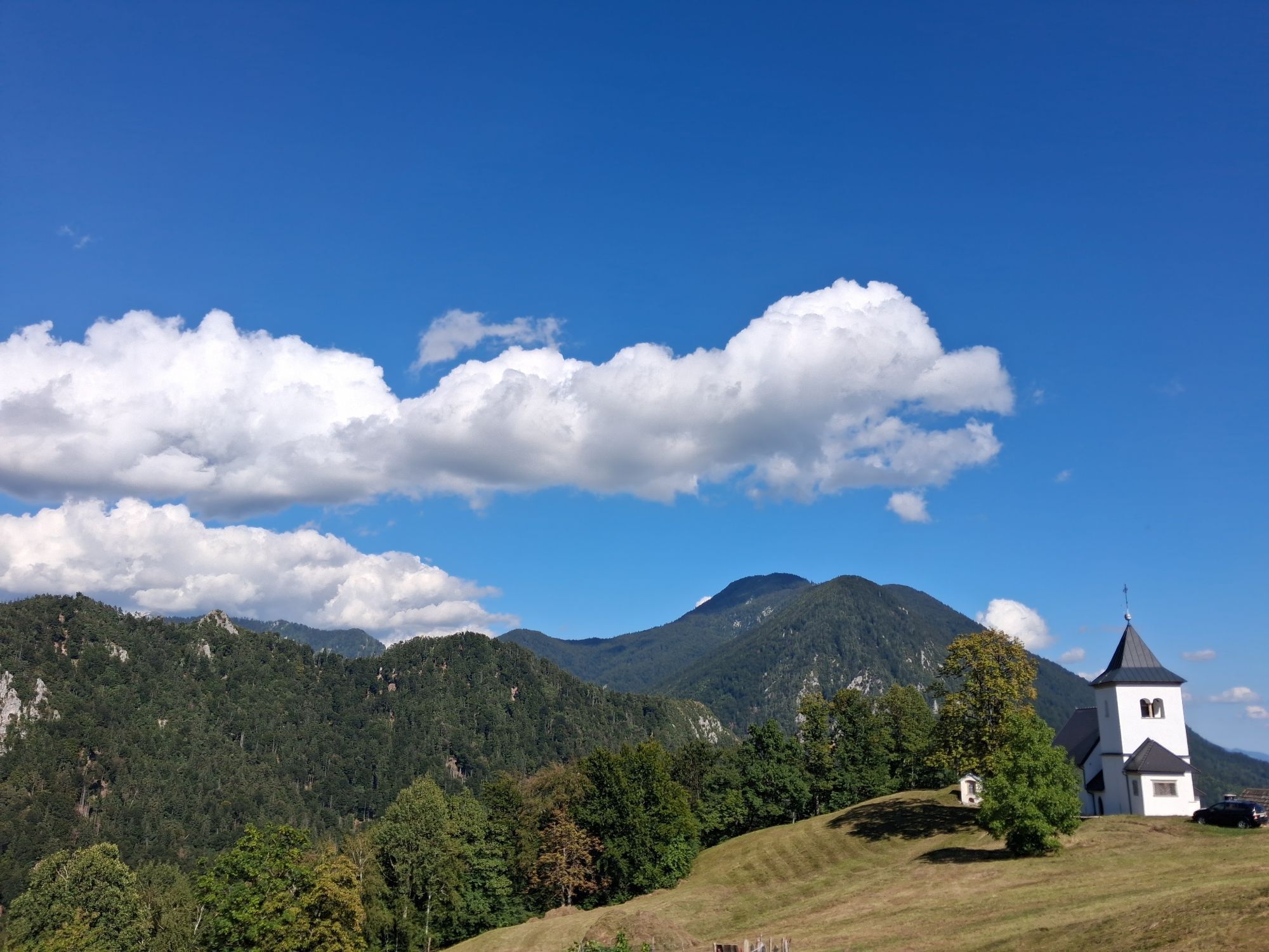
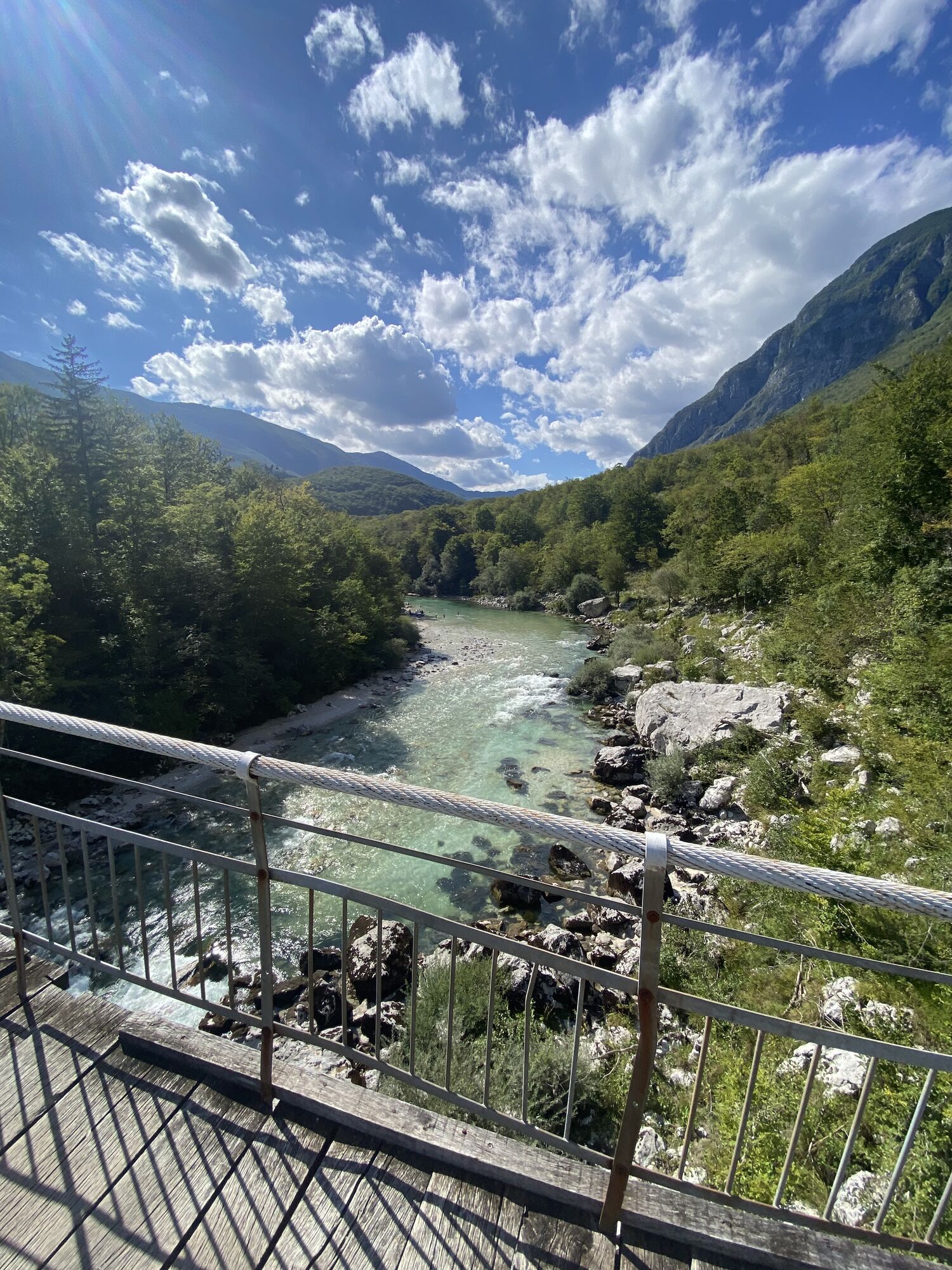
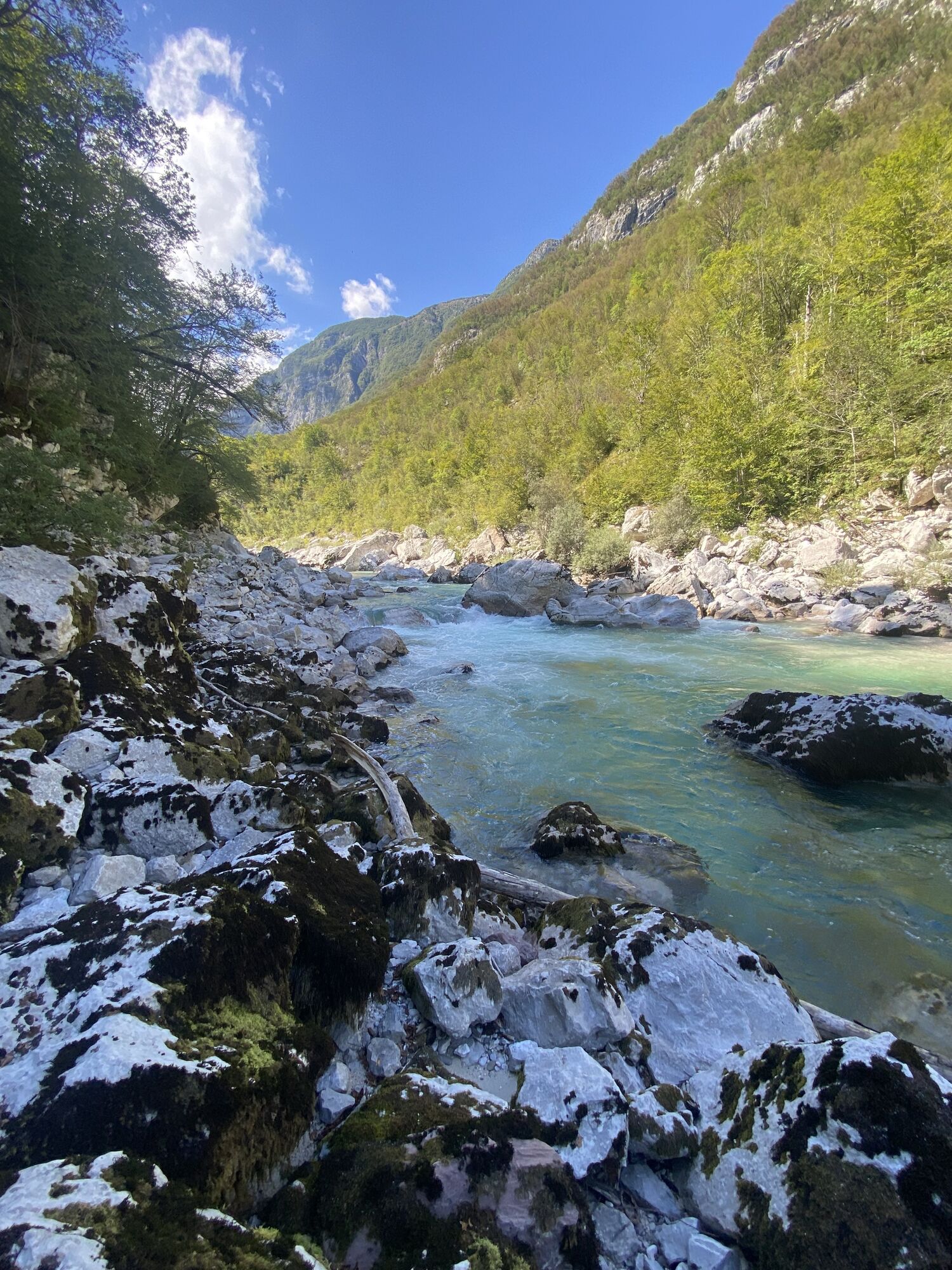
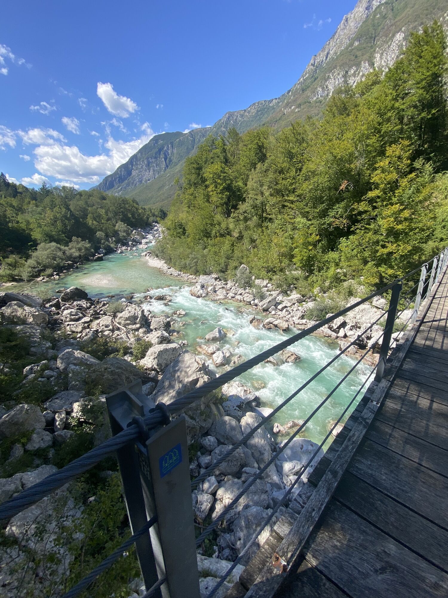
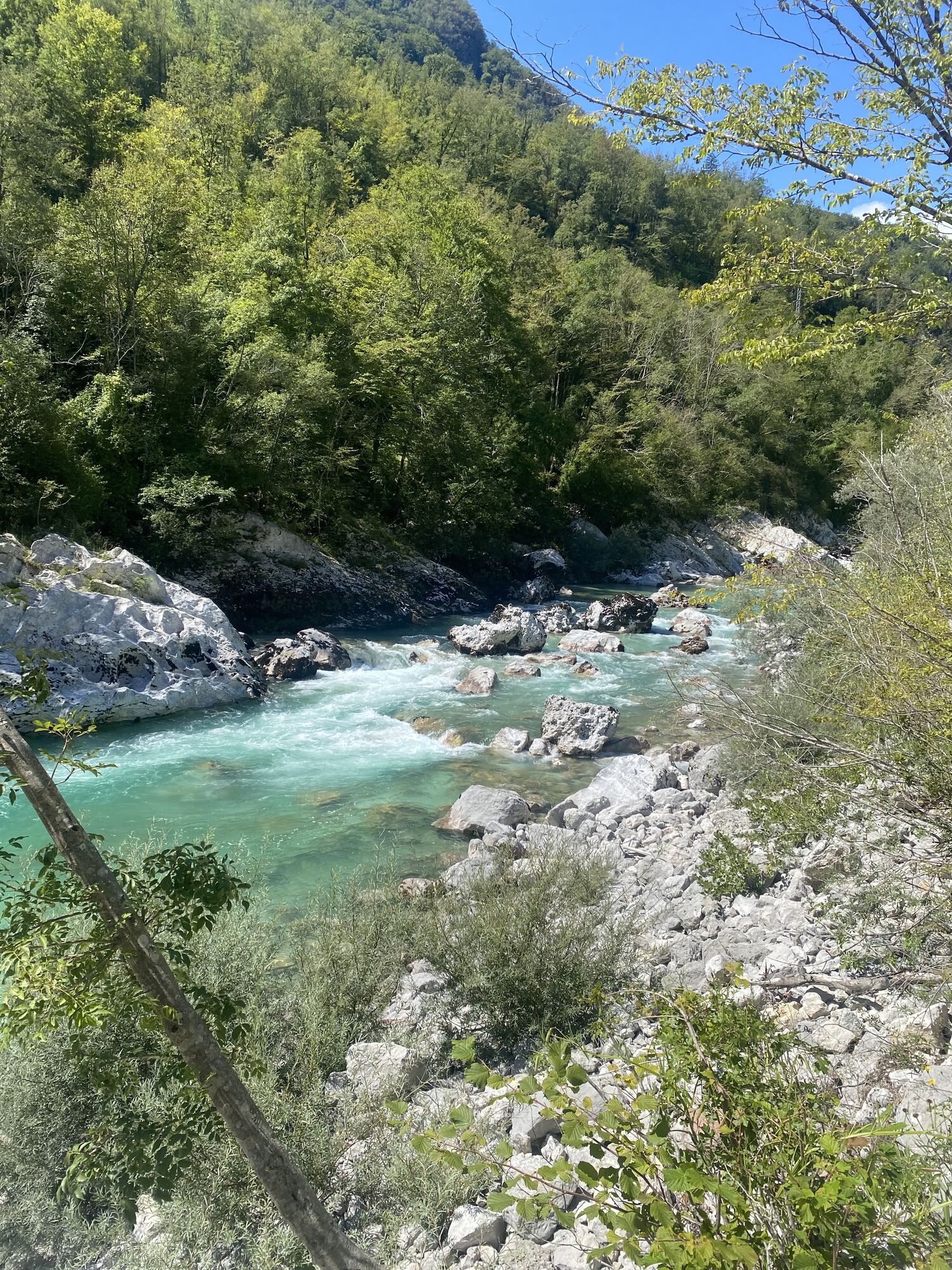
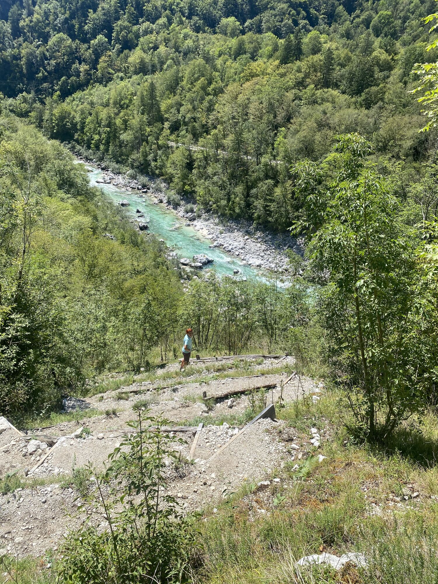
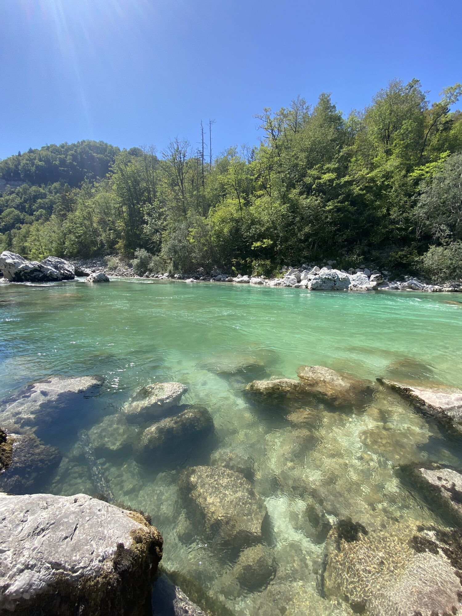
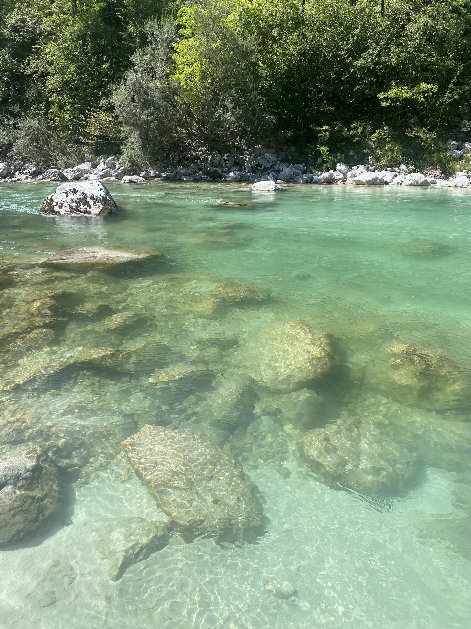
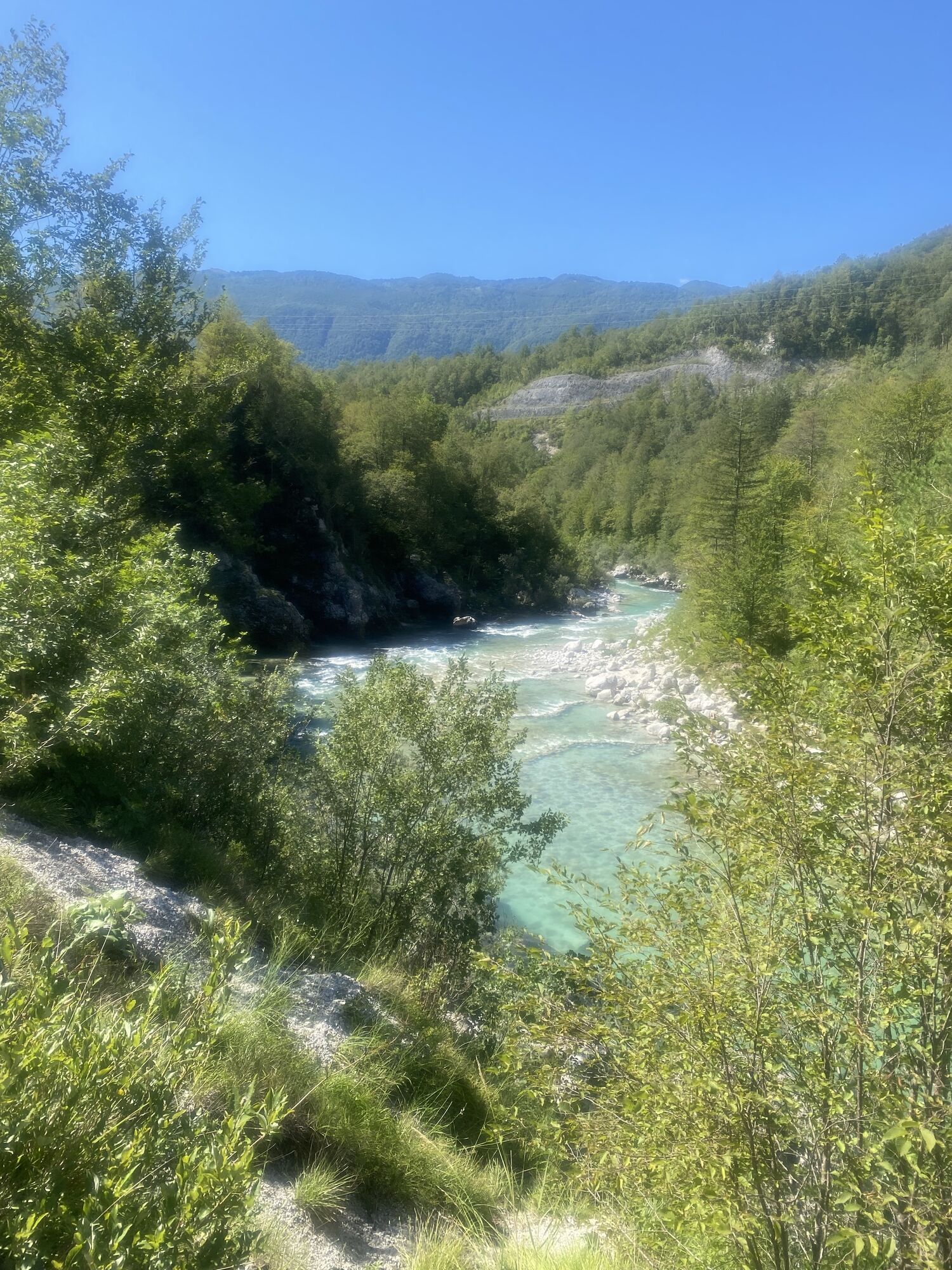
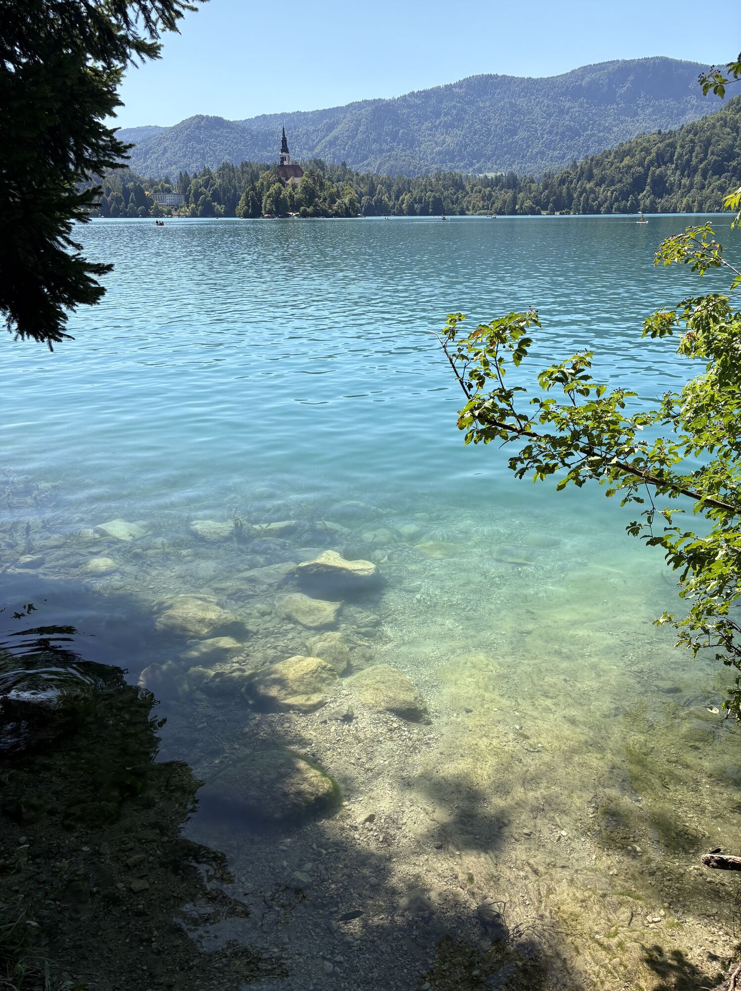
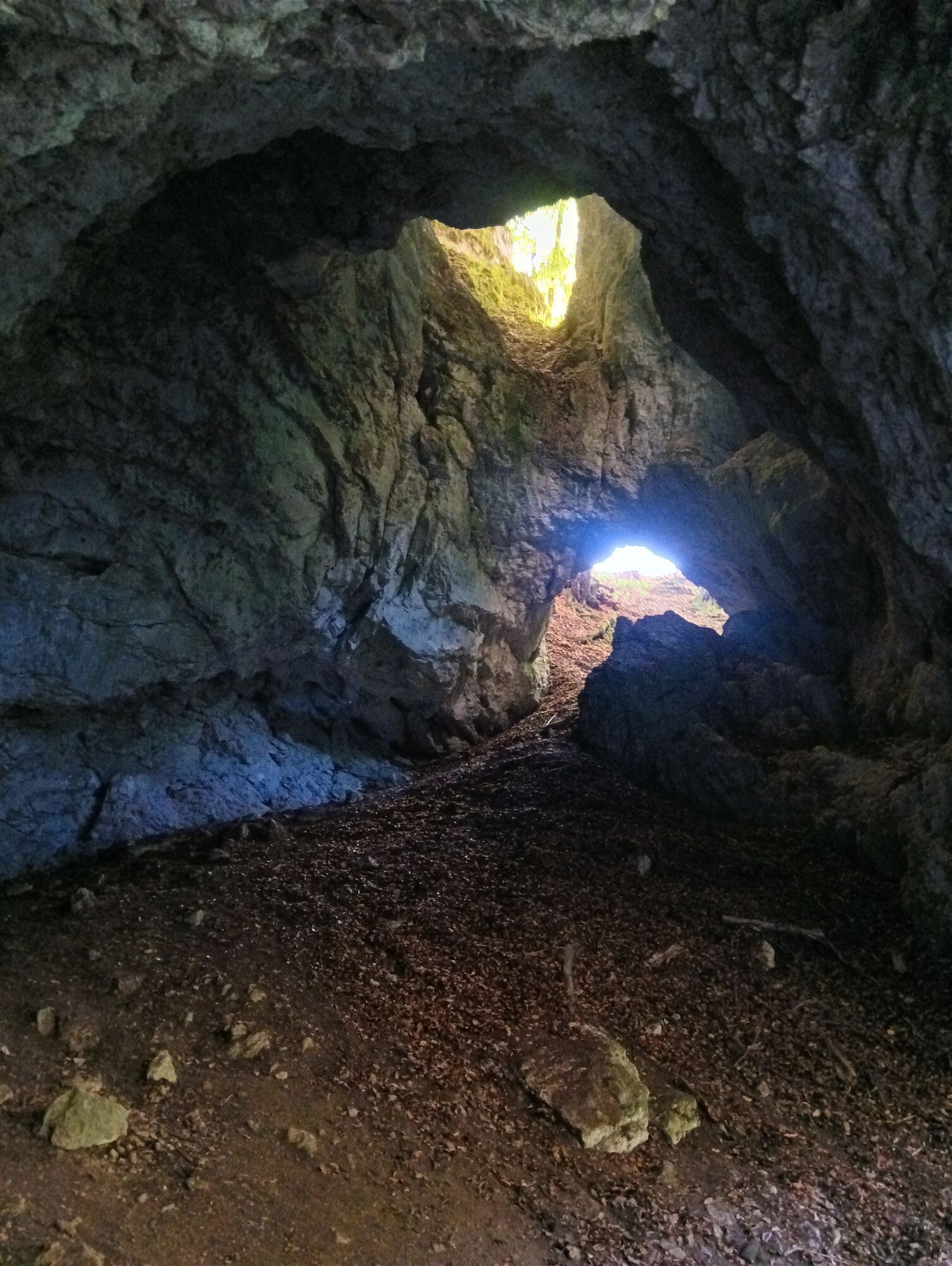
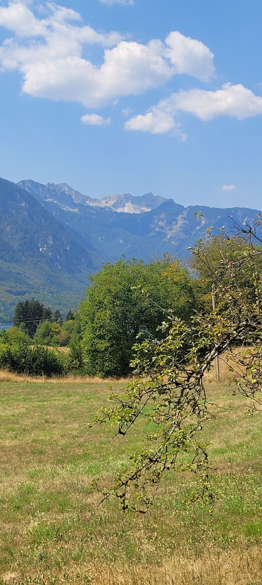
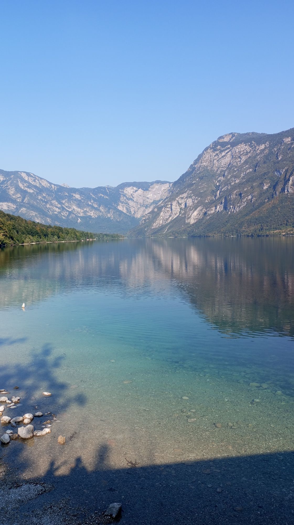
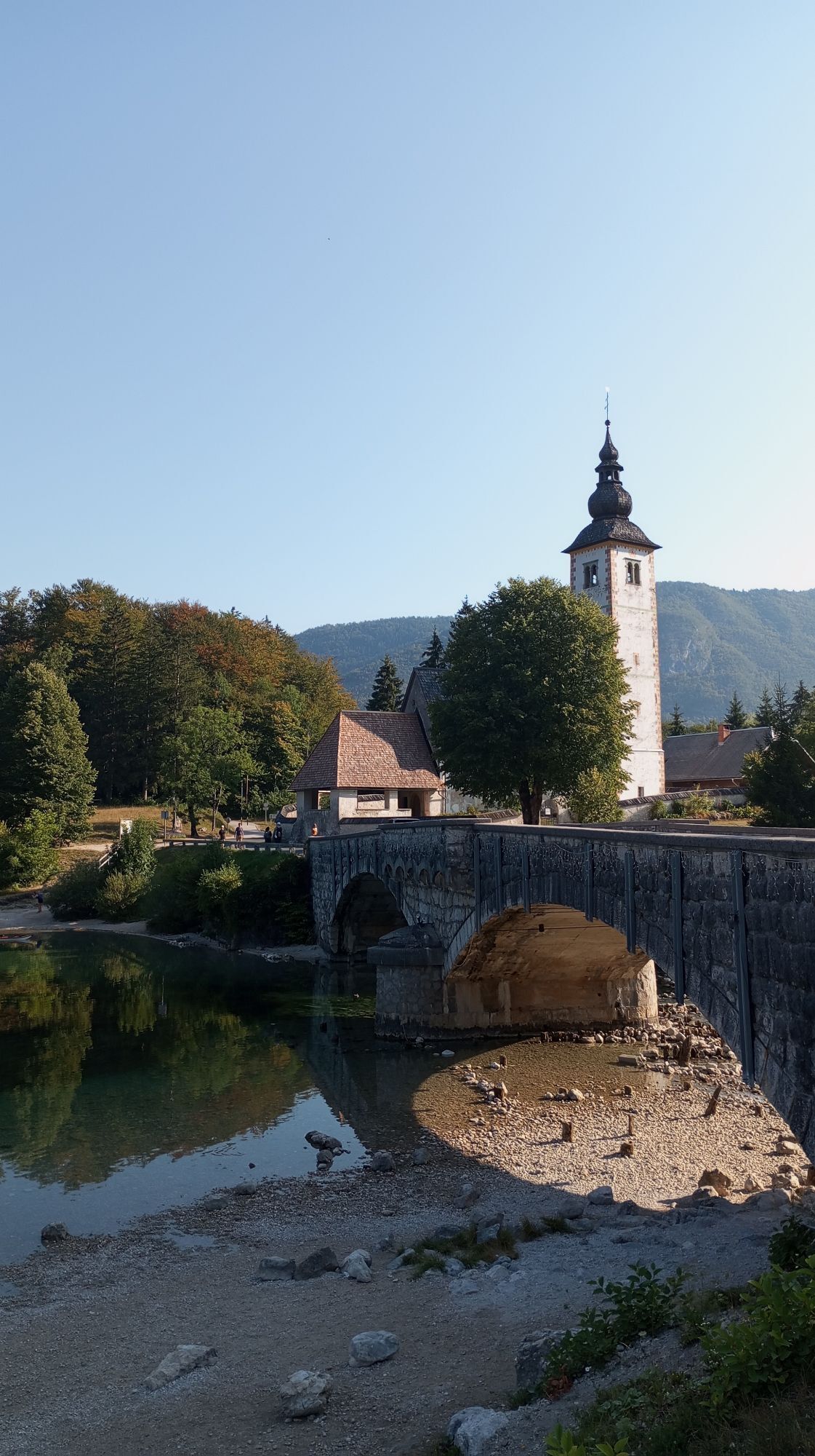
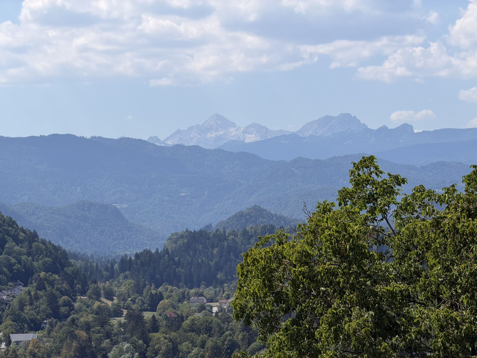
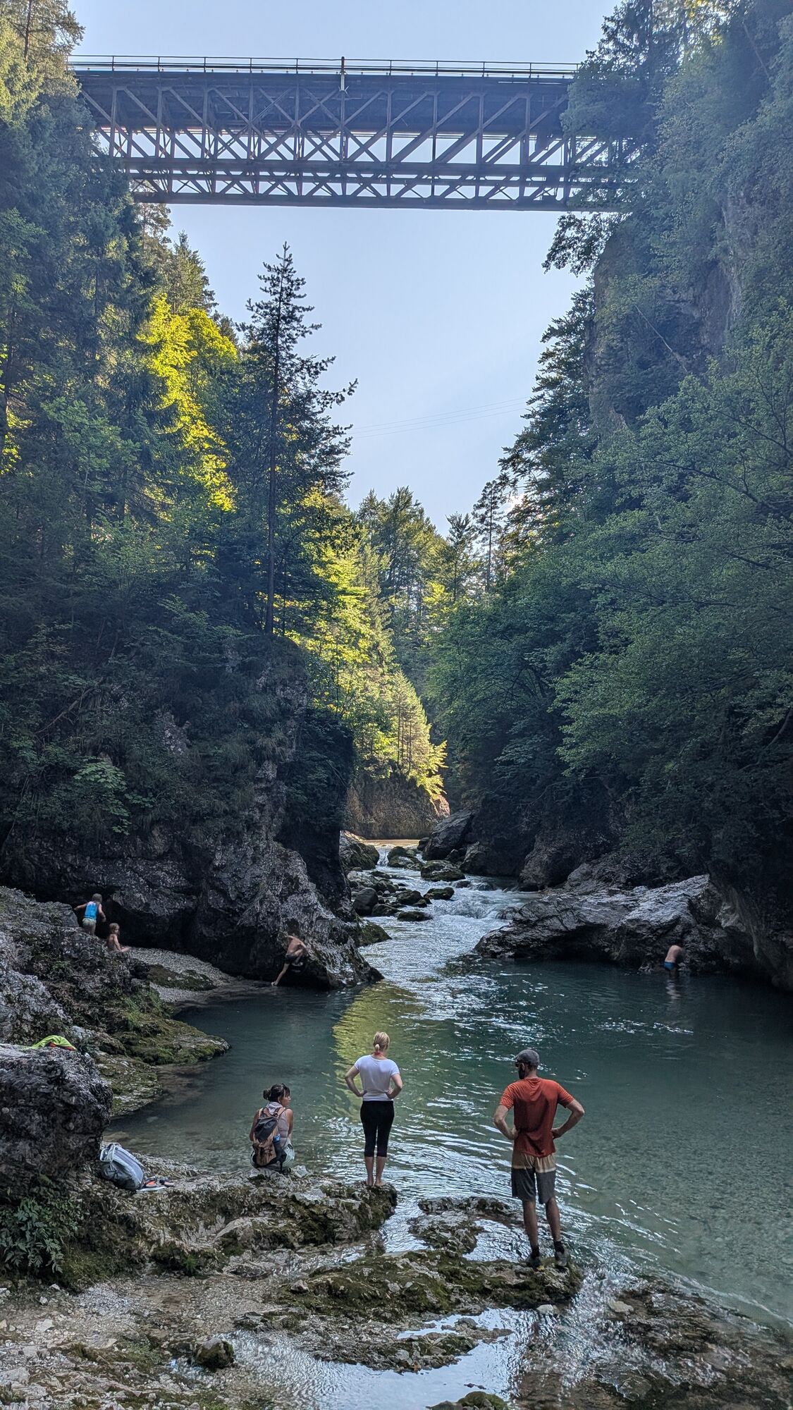
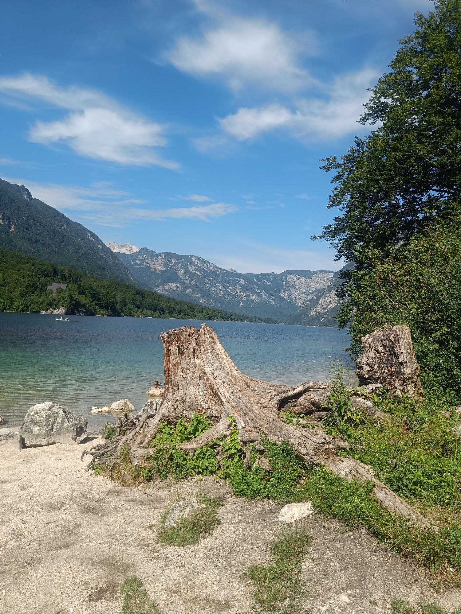
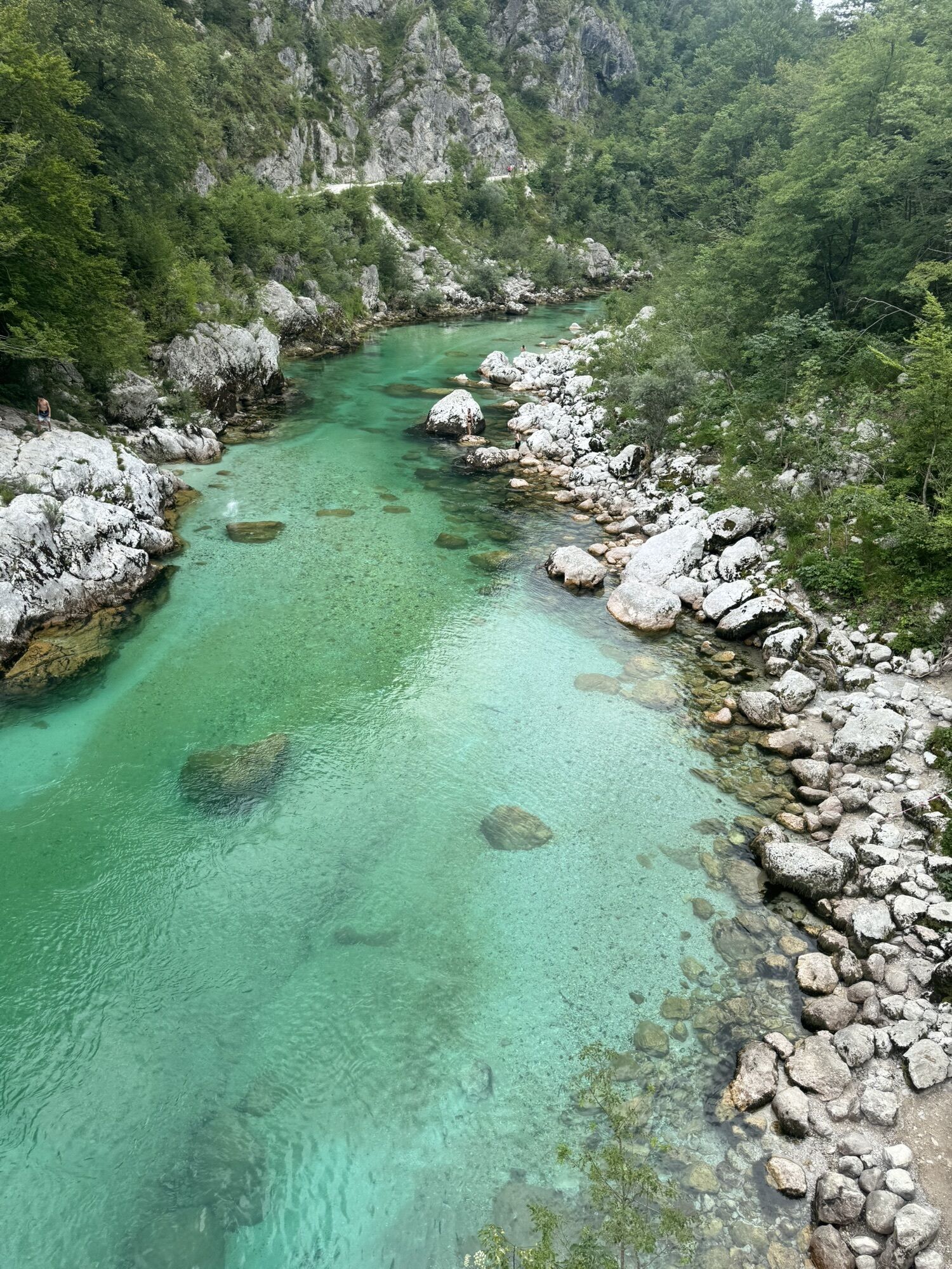
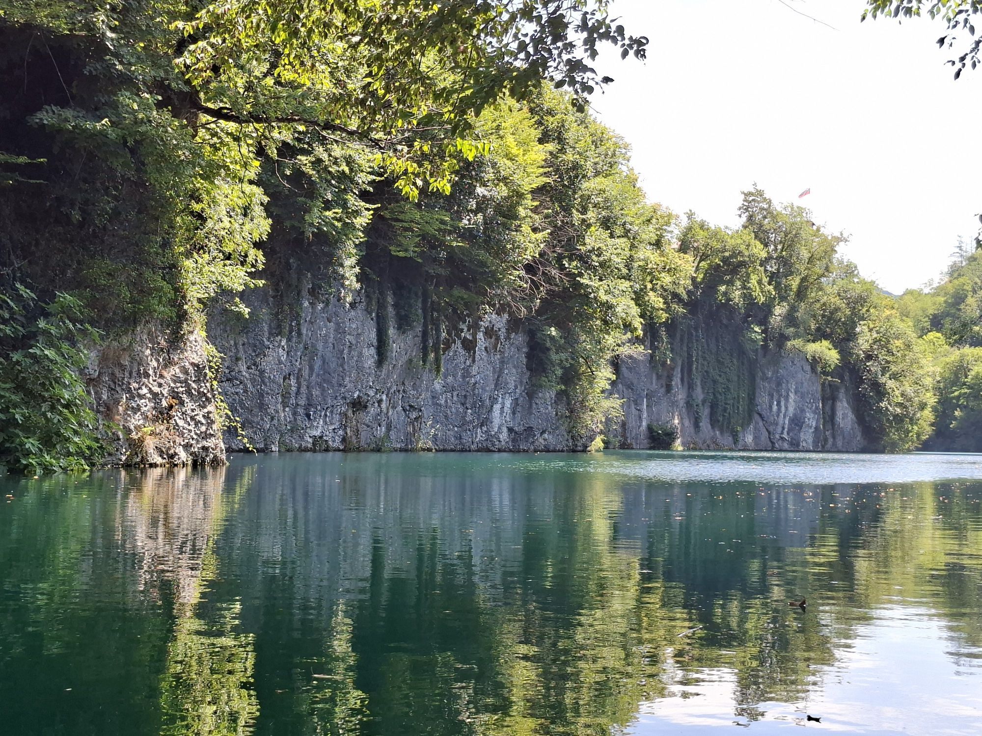
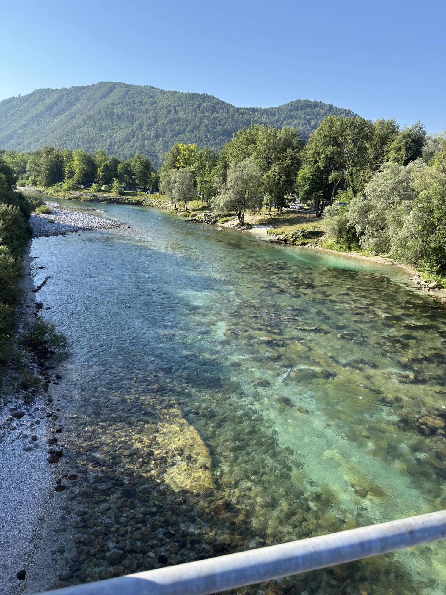
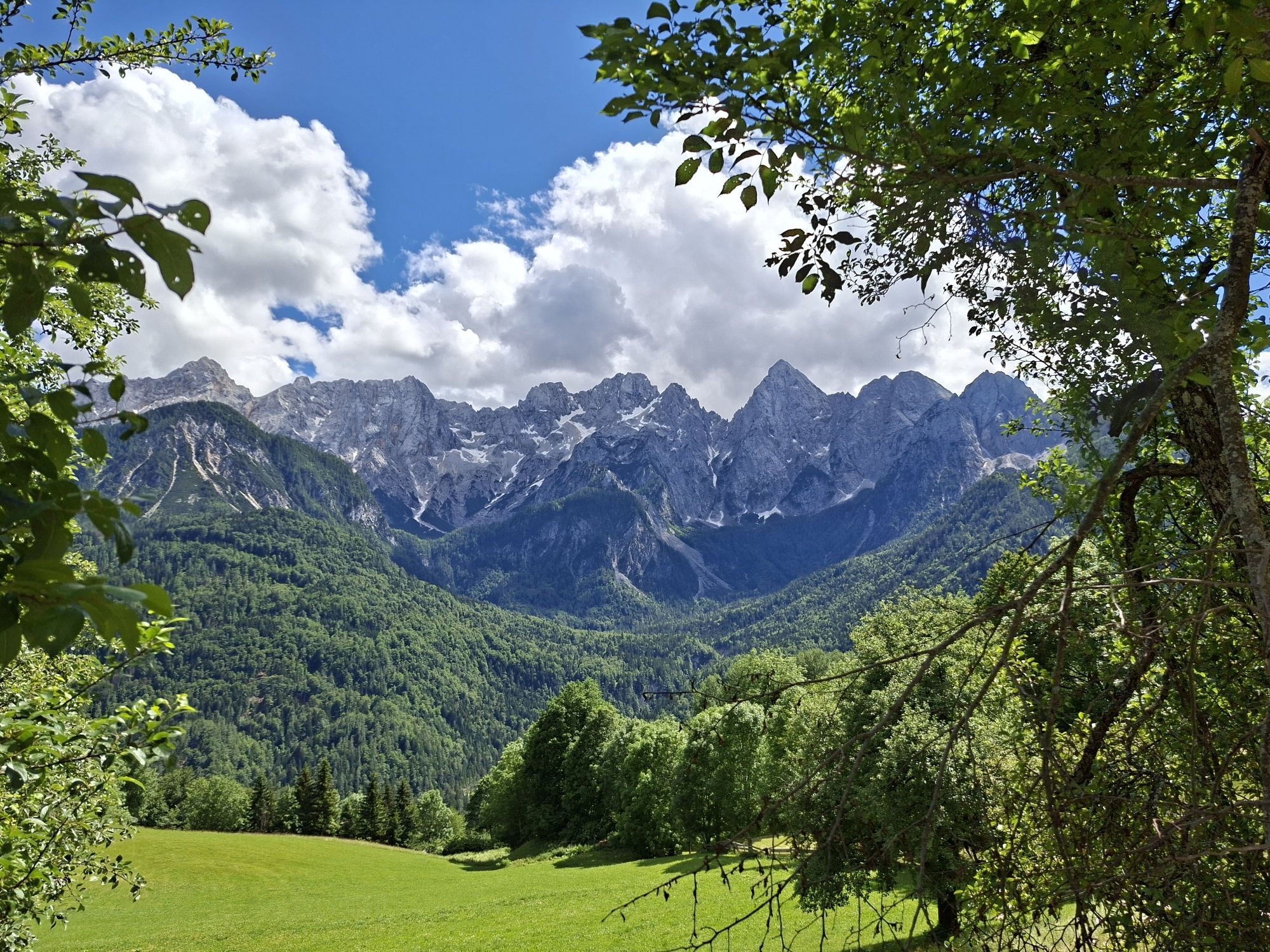
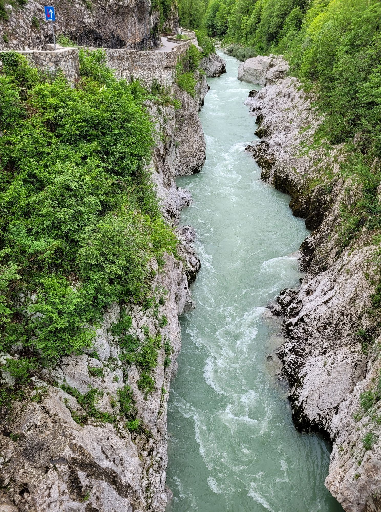
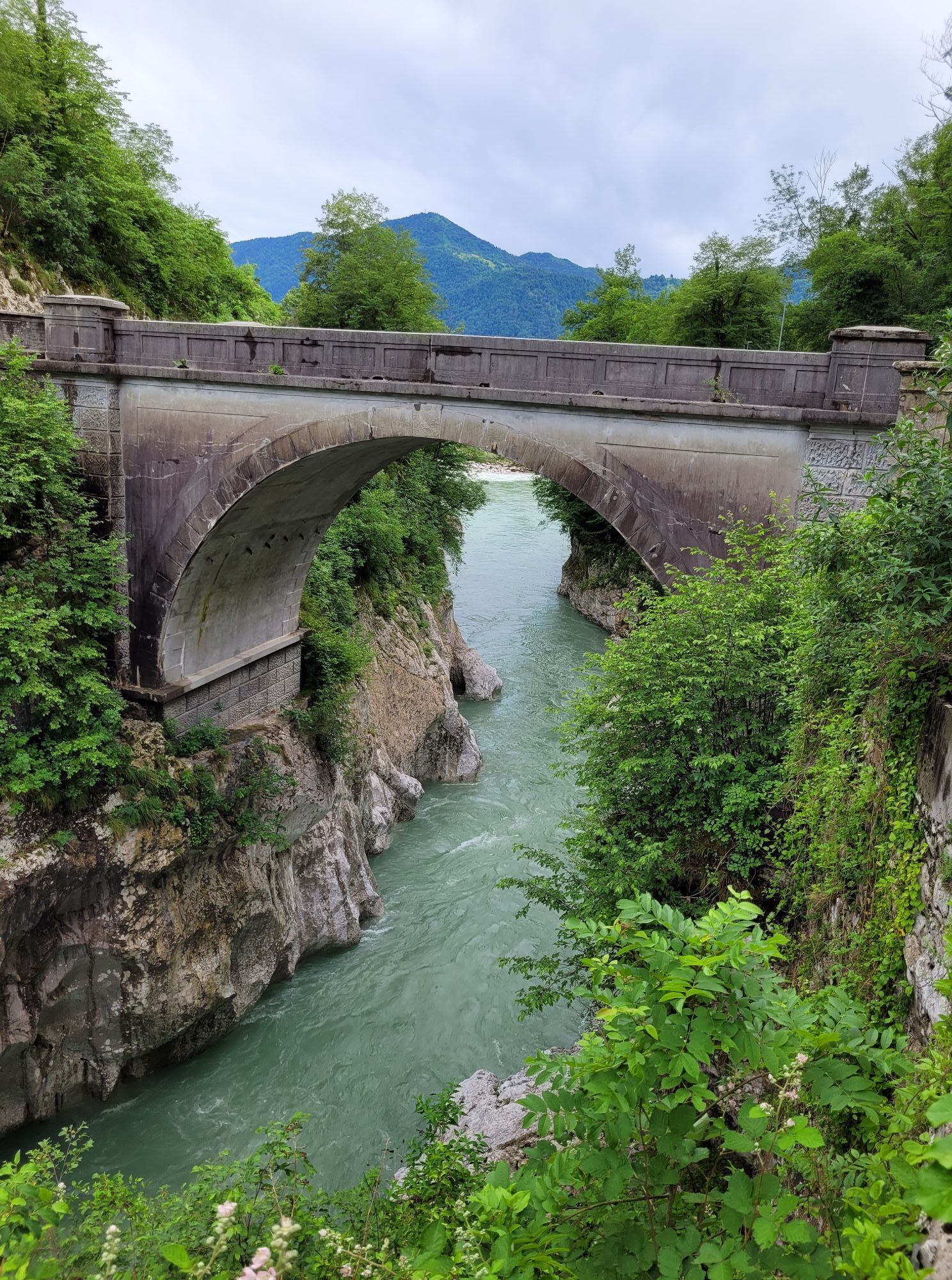
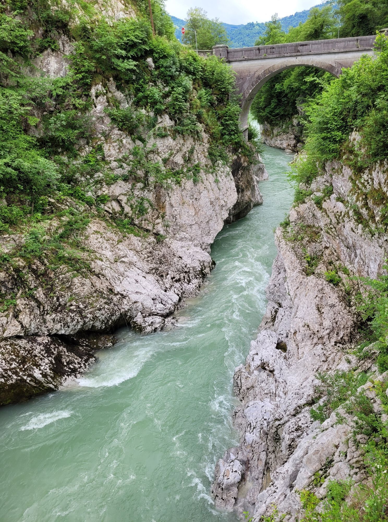
The circular long-distance JULIANA TRAIL leads around the Julian Alps mountain ridge, through urban valleys and secluded plateaus, over mountain passes, along hidden paths of rural areas, through bigger...
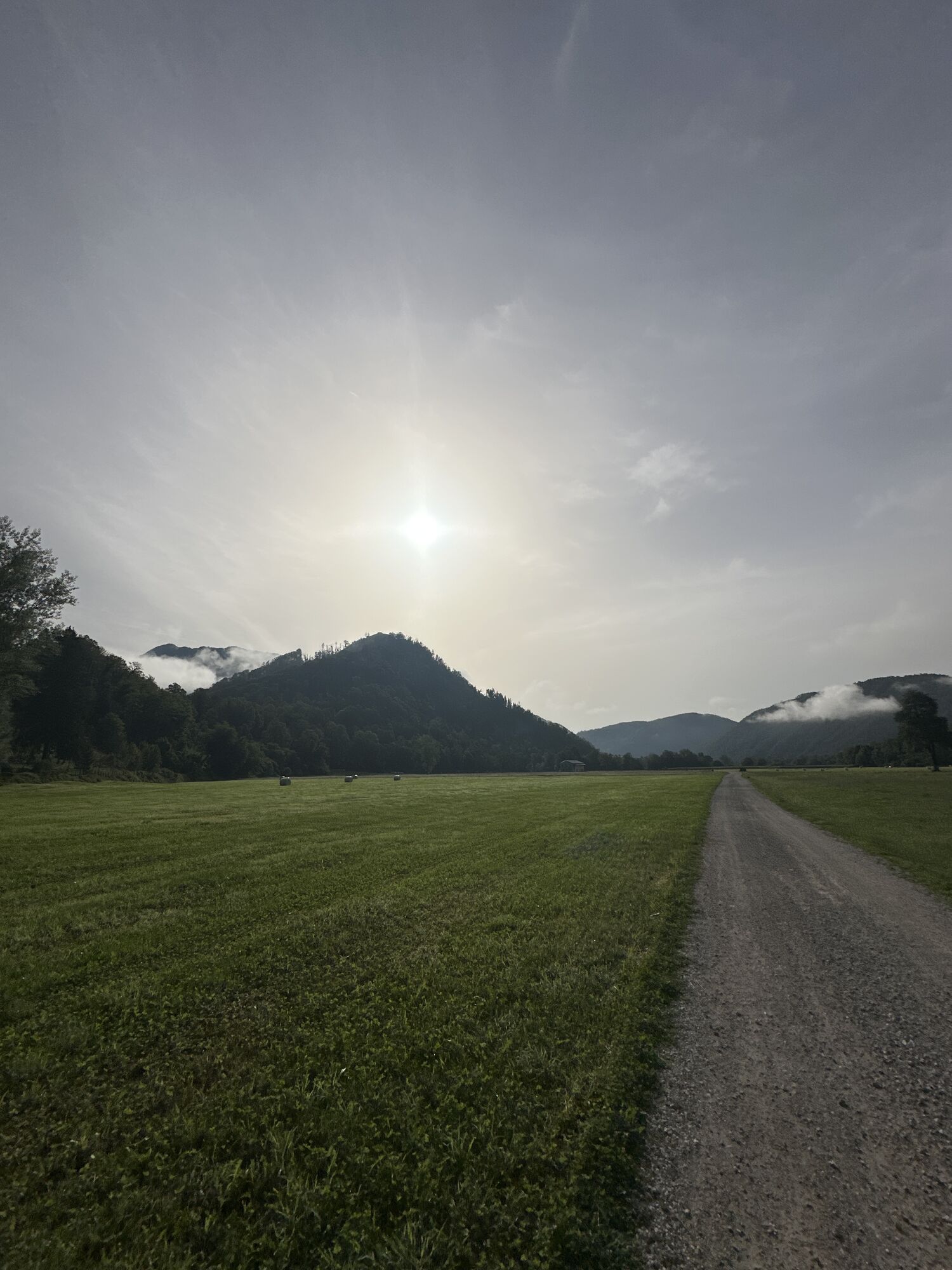
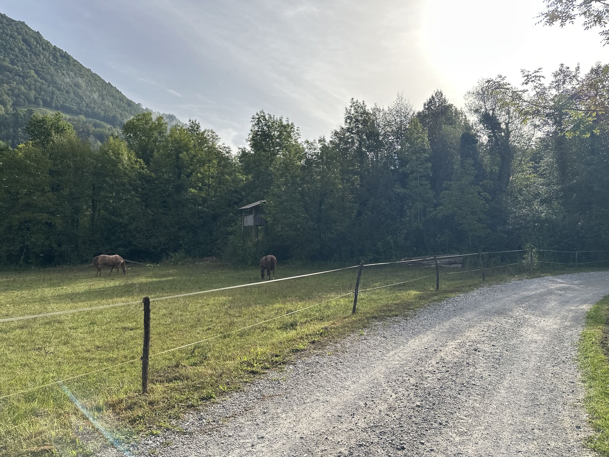
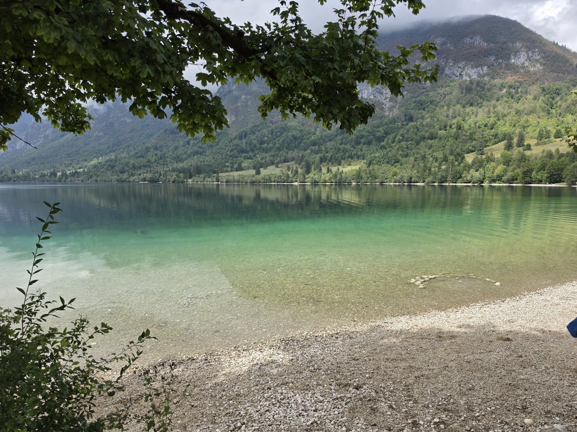
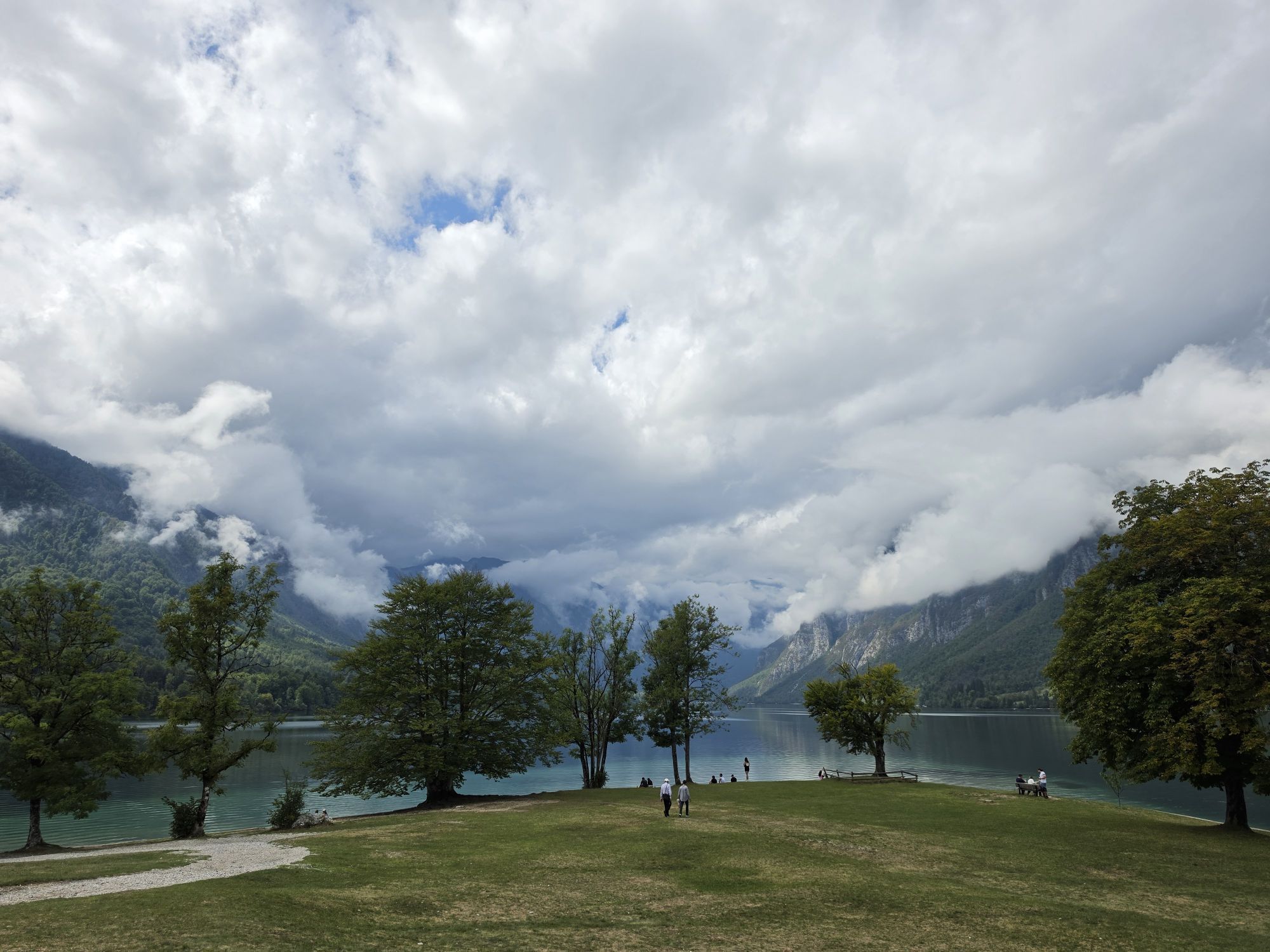
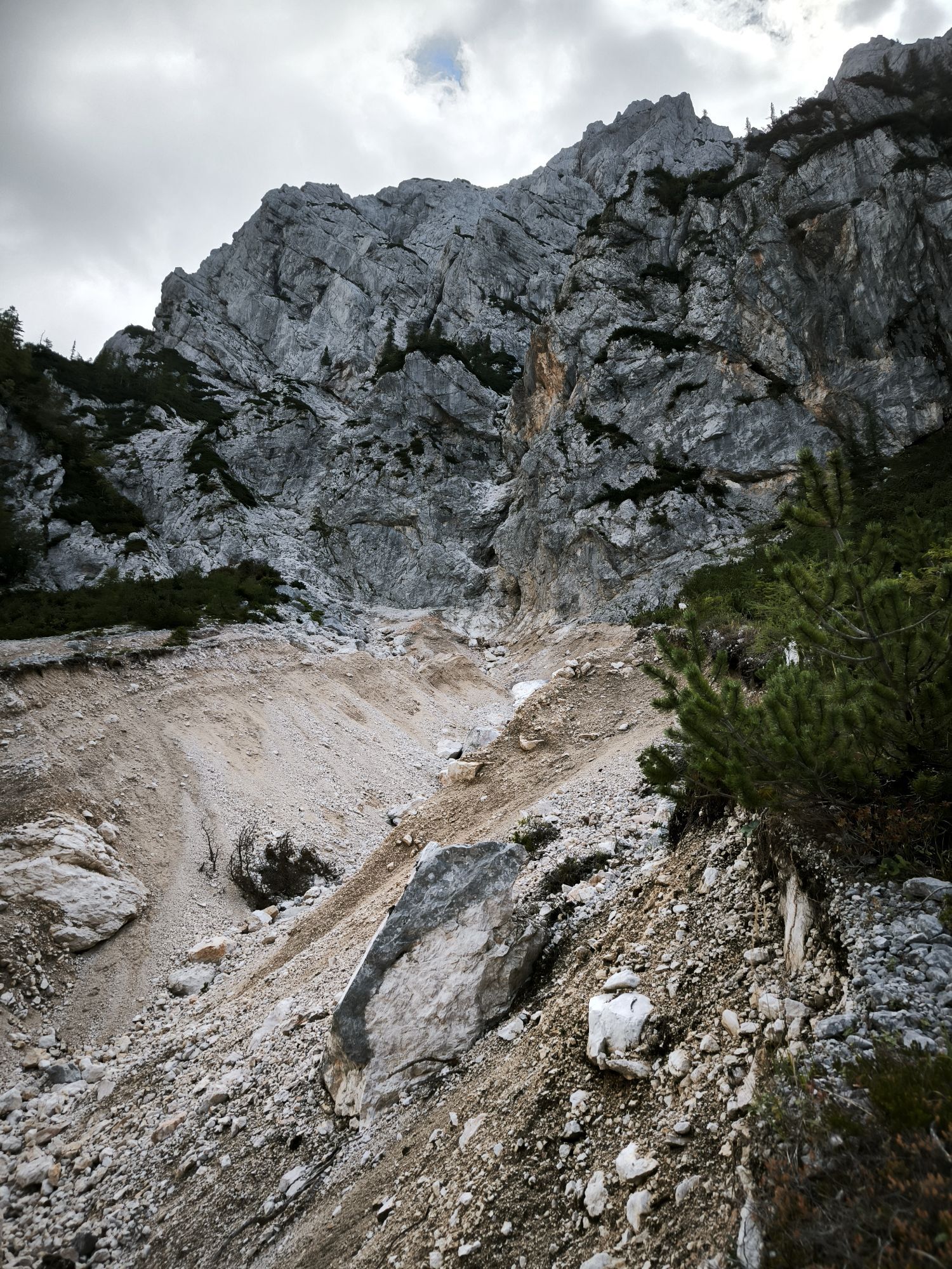
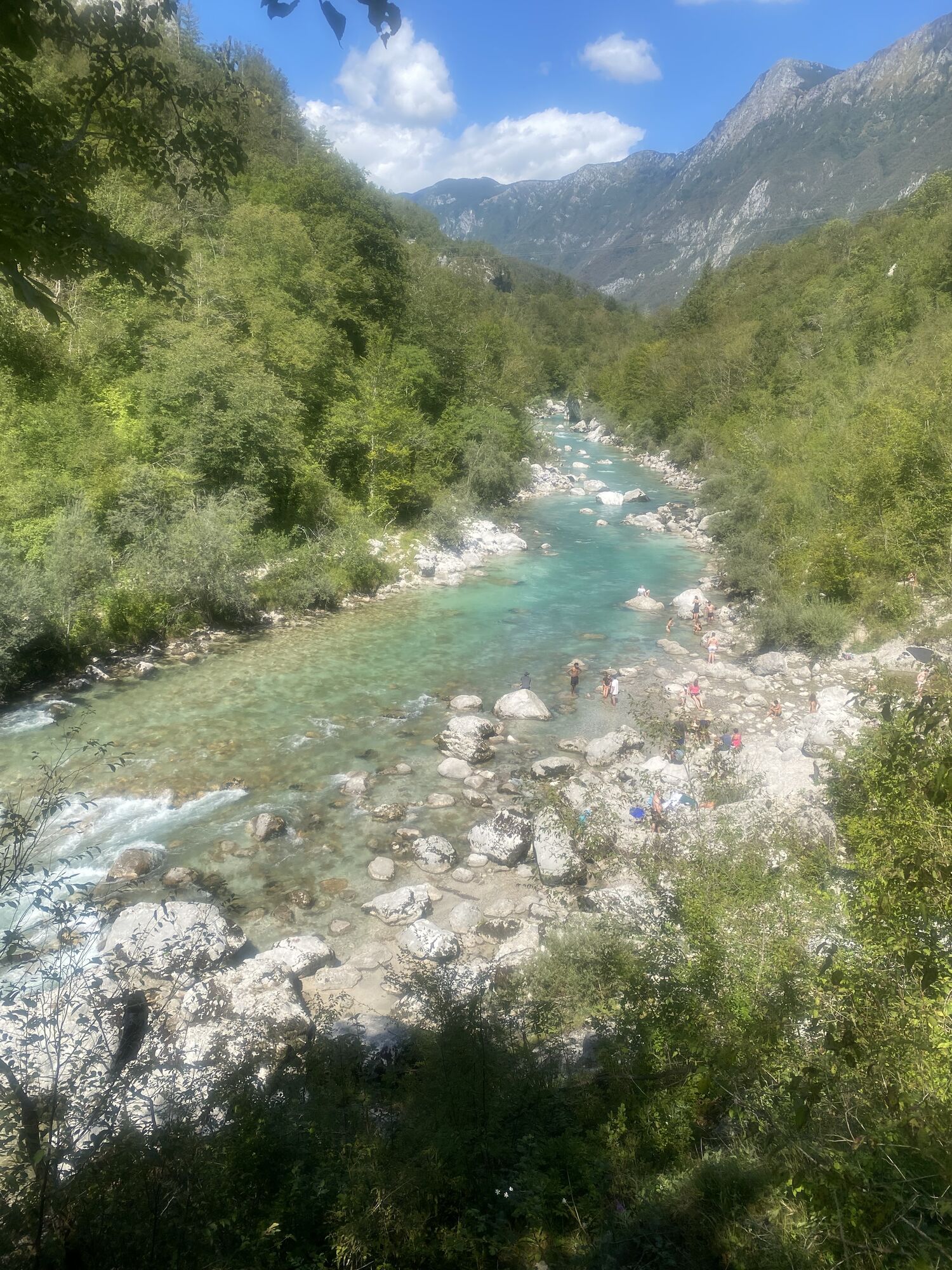
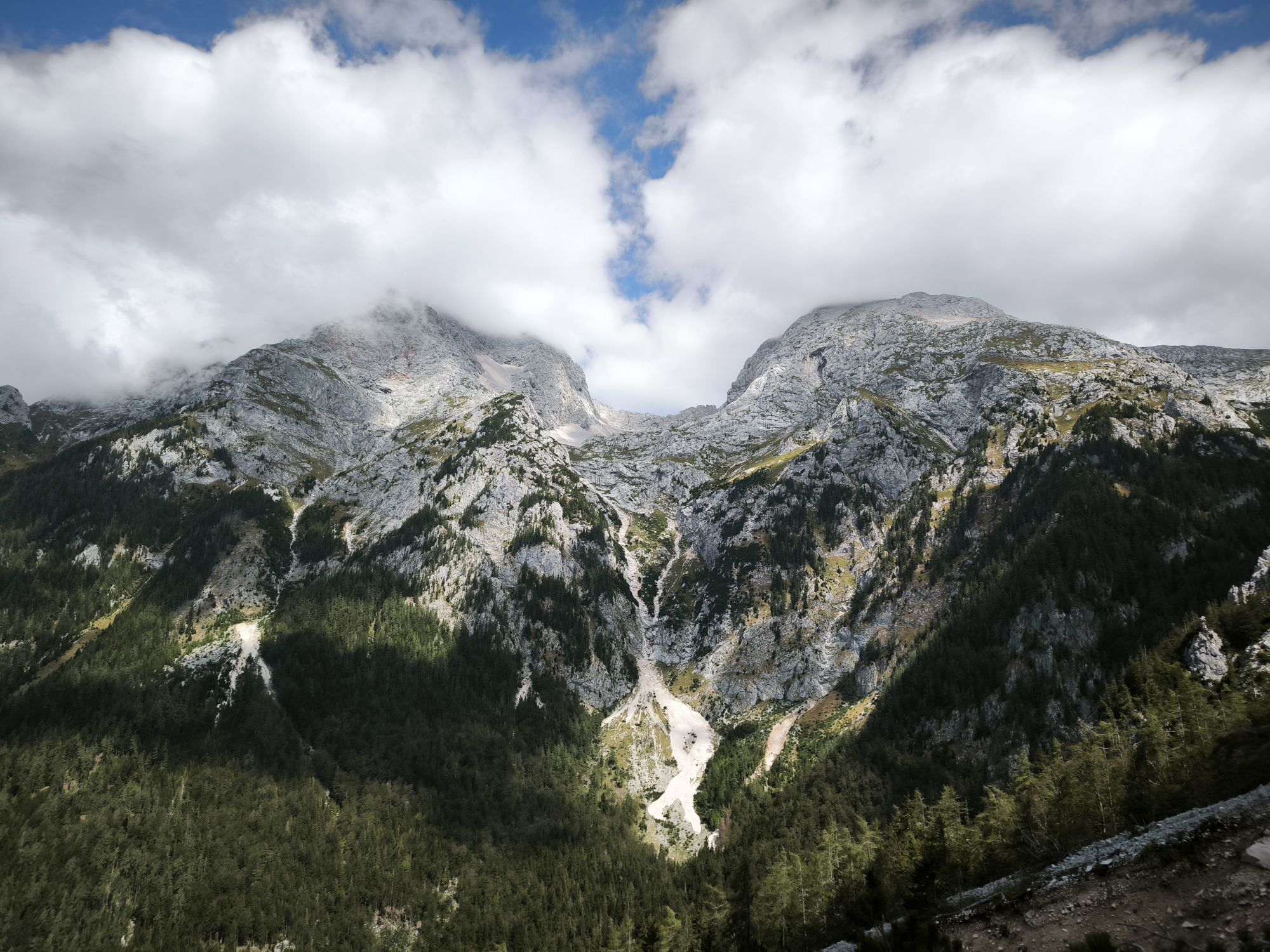
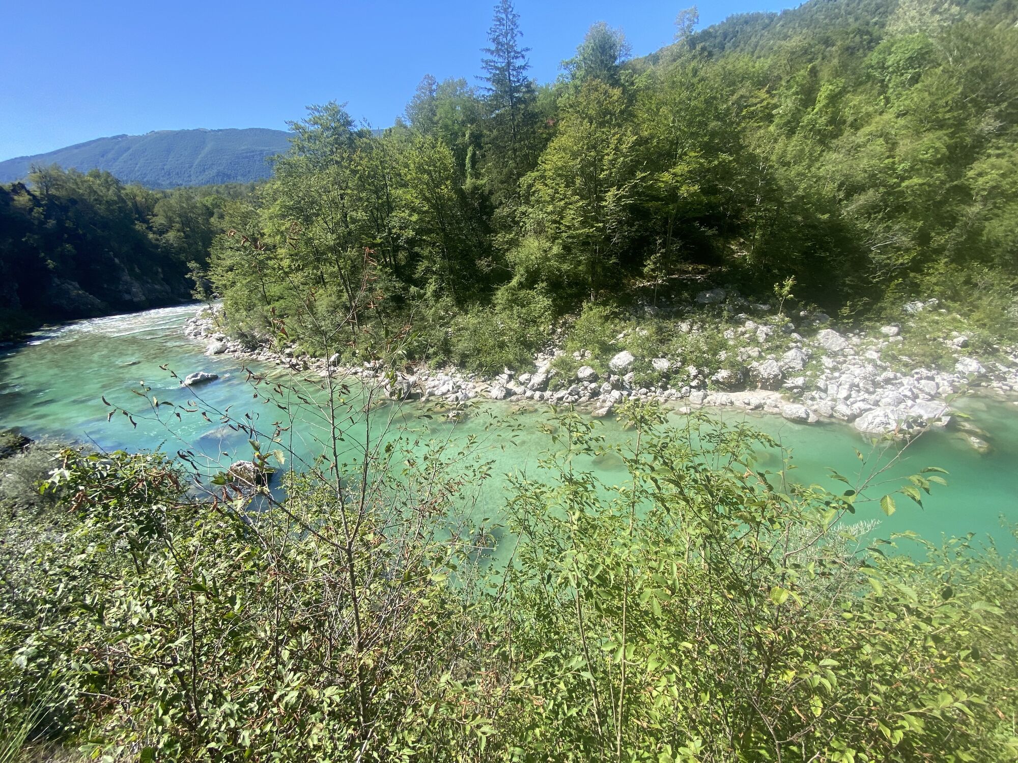
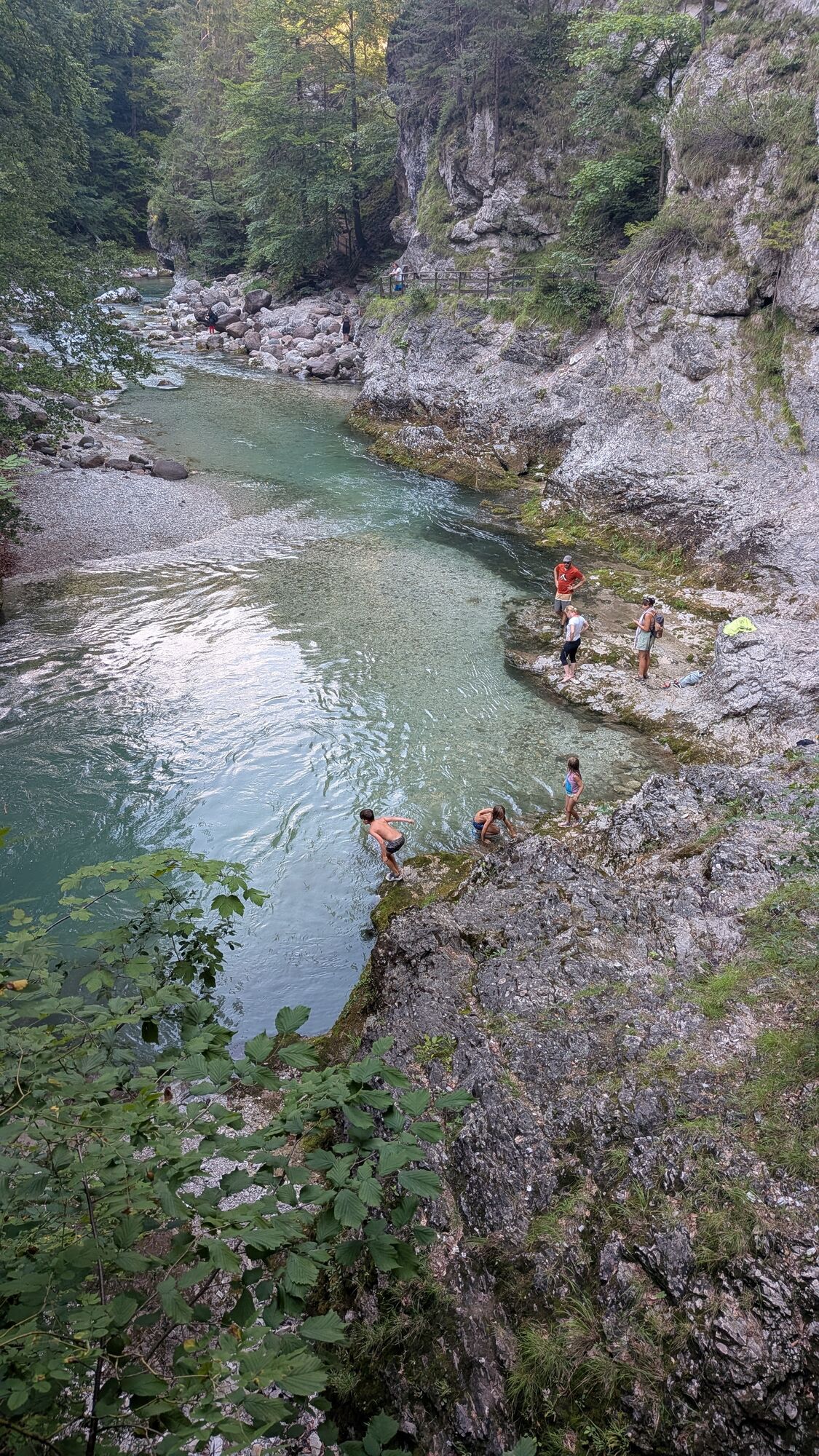
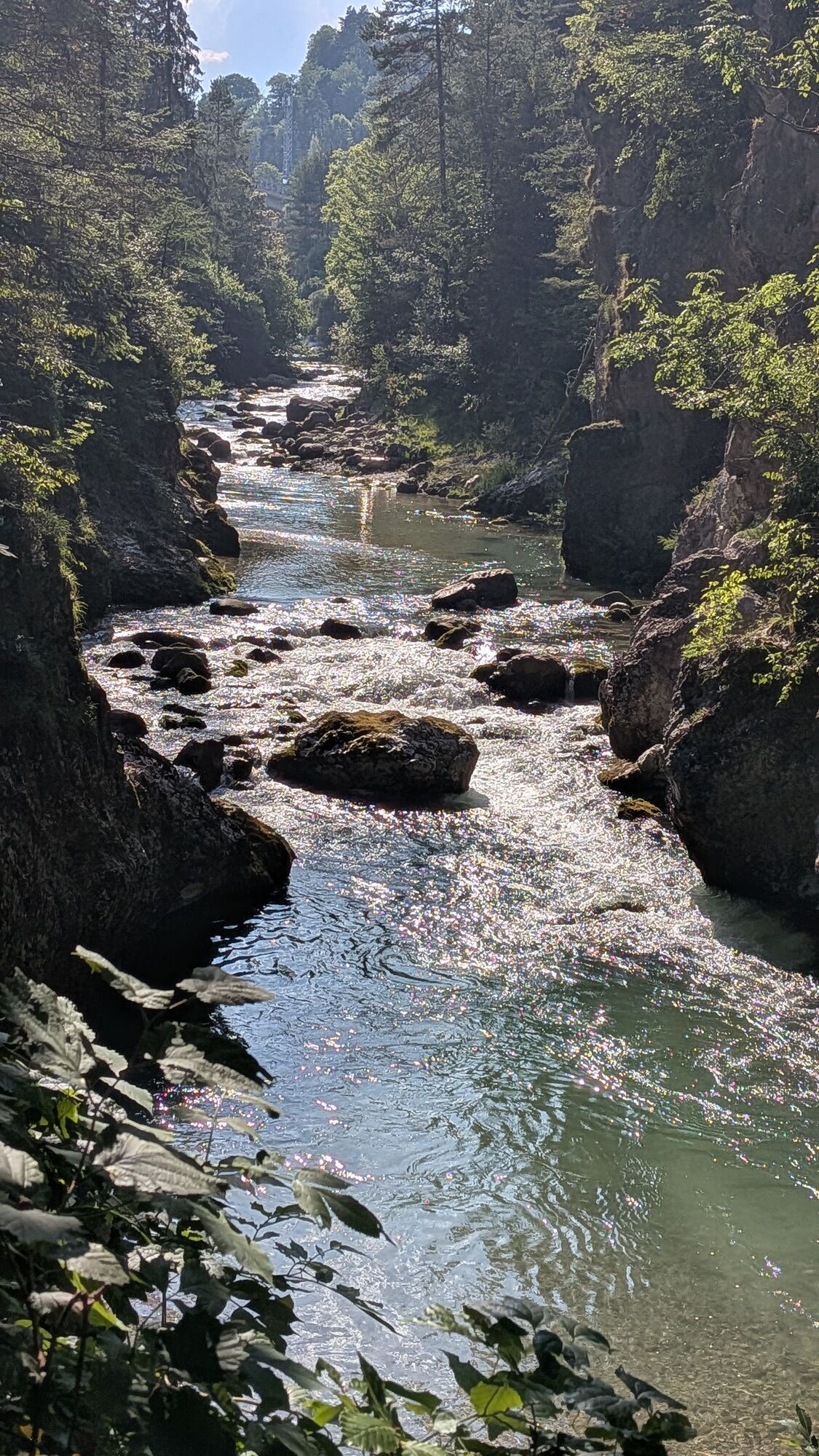
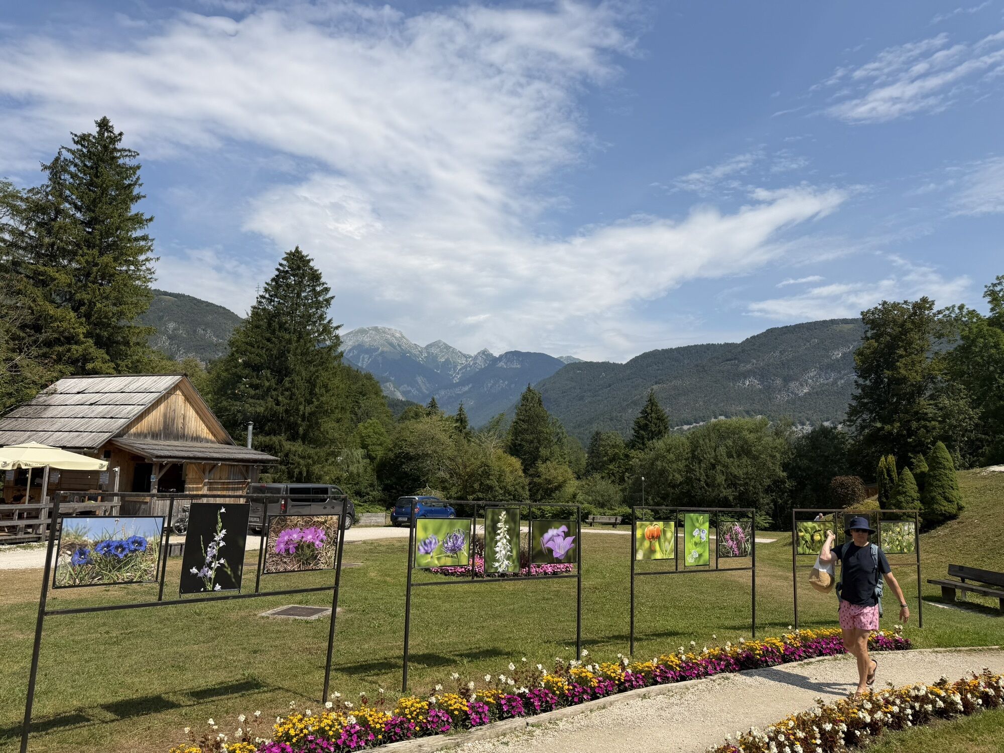
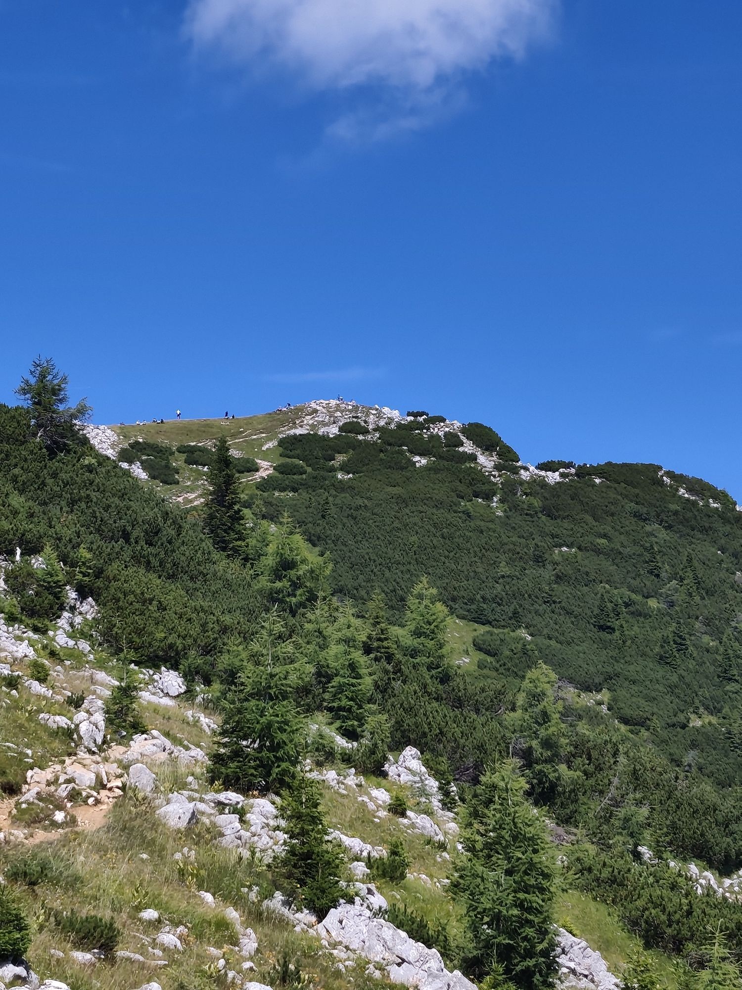
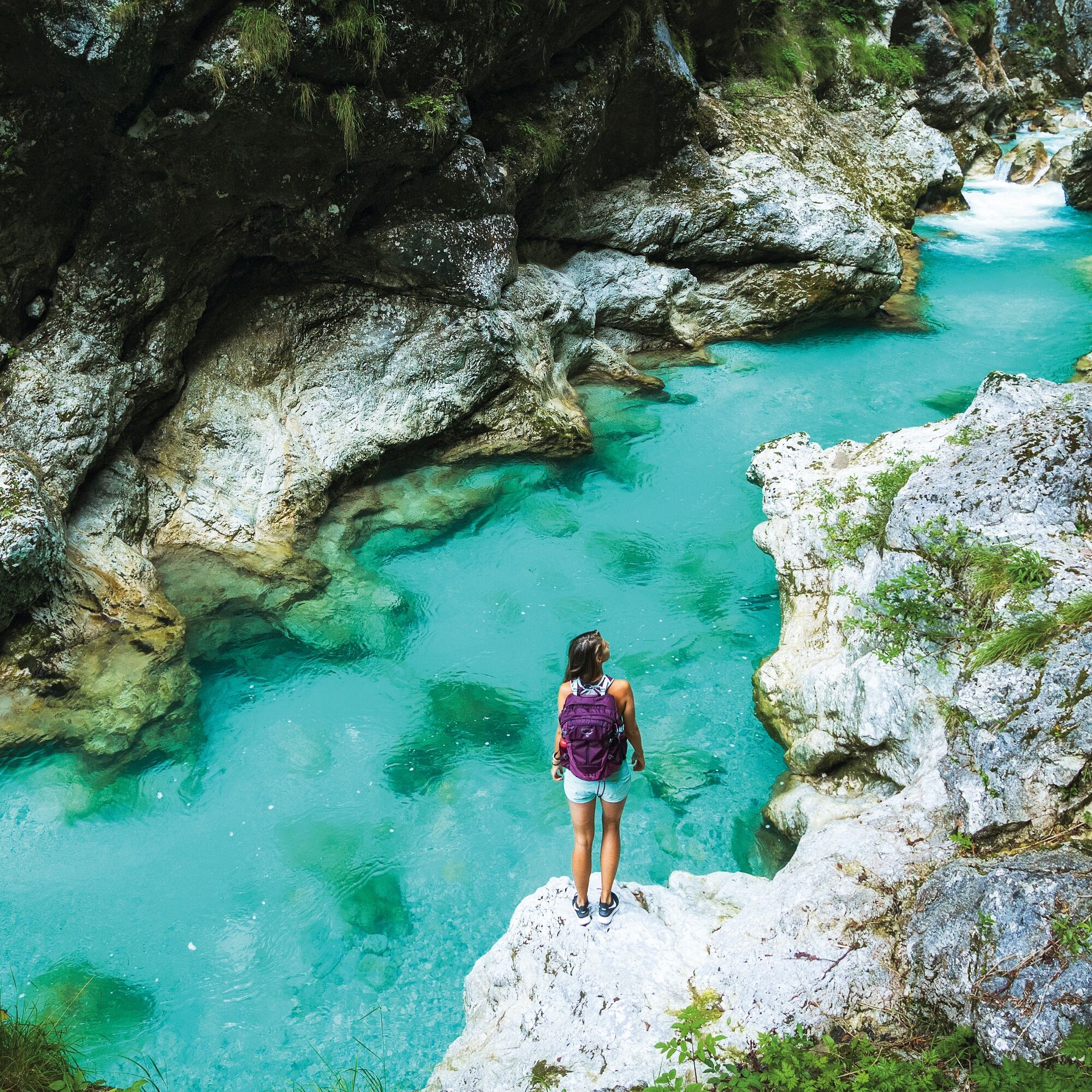
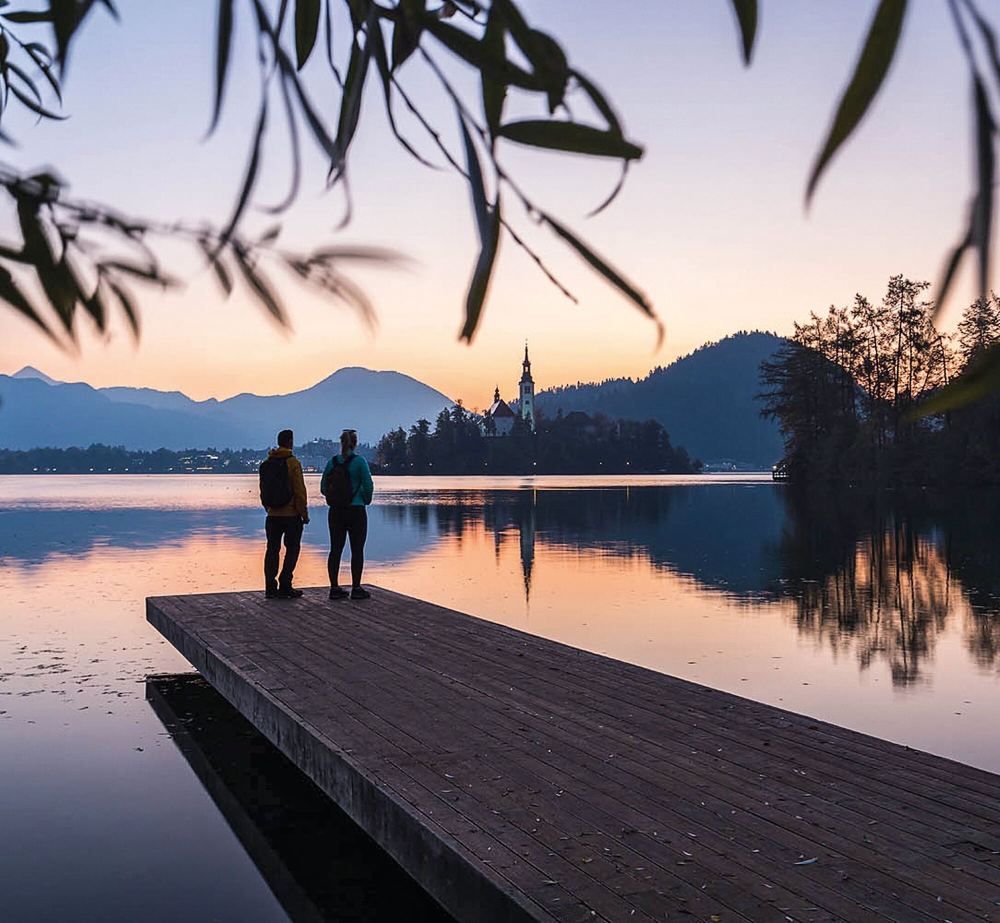
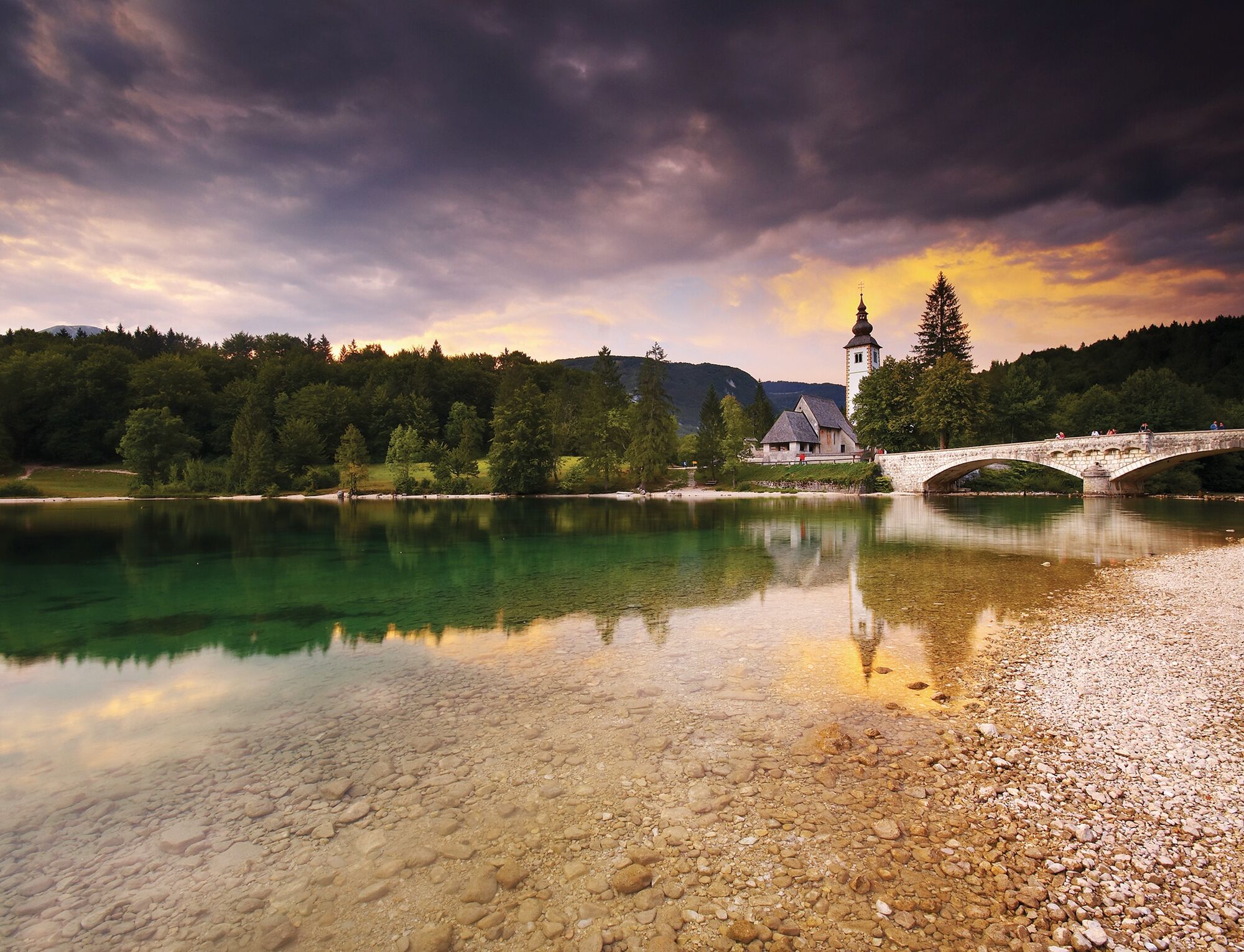
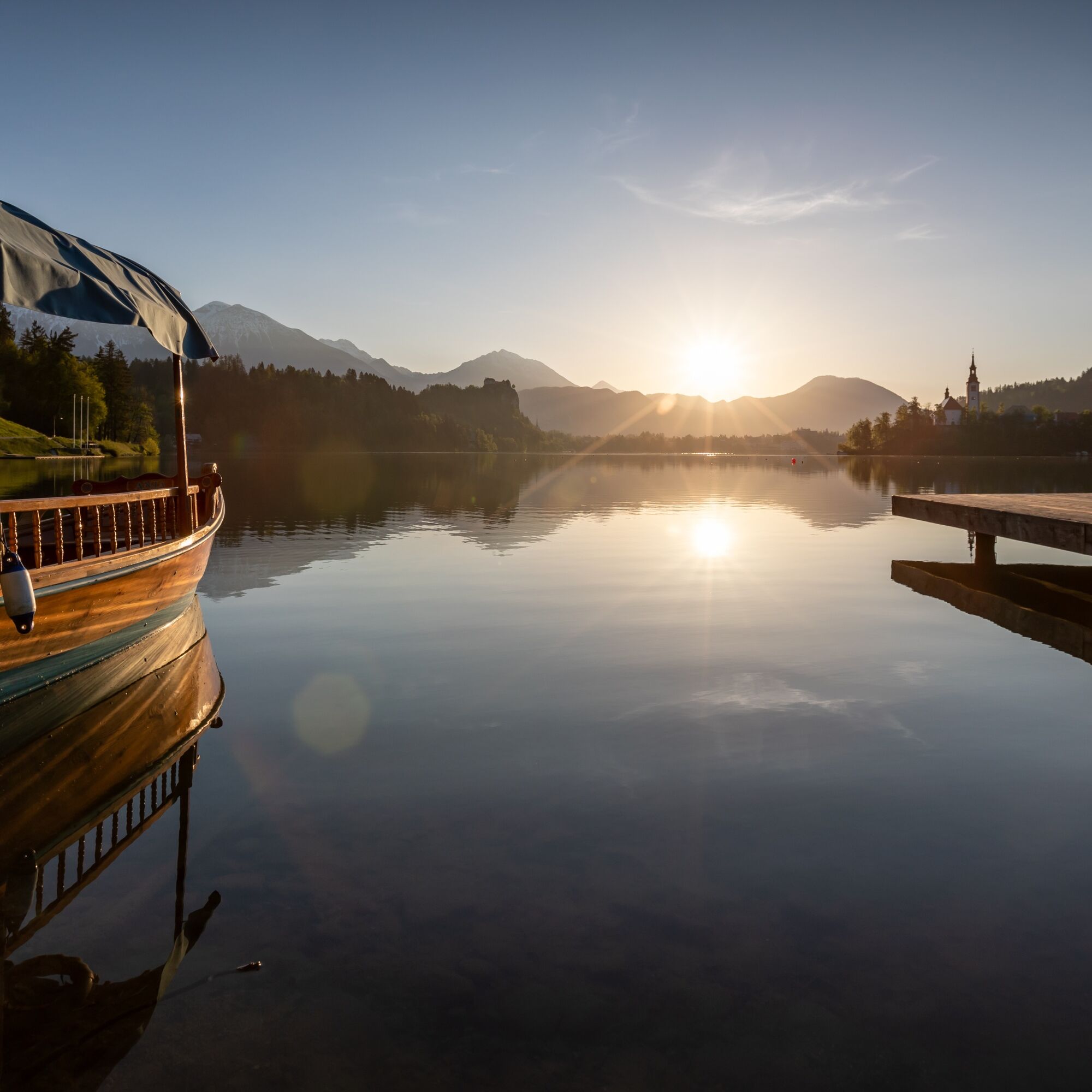
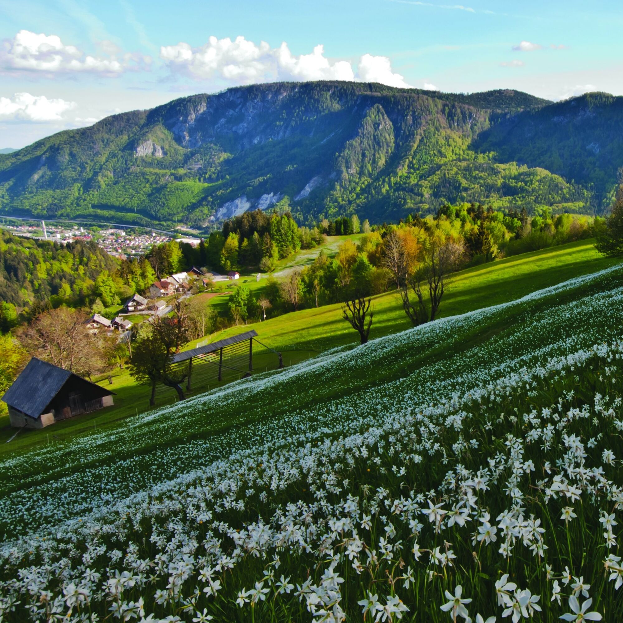
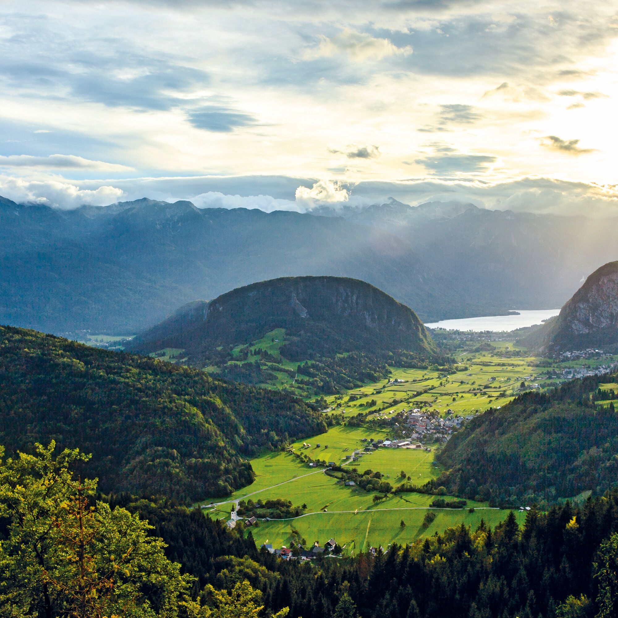
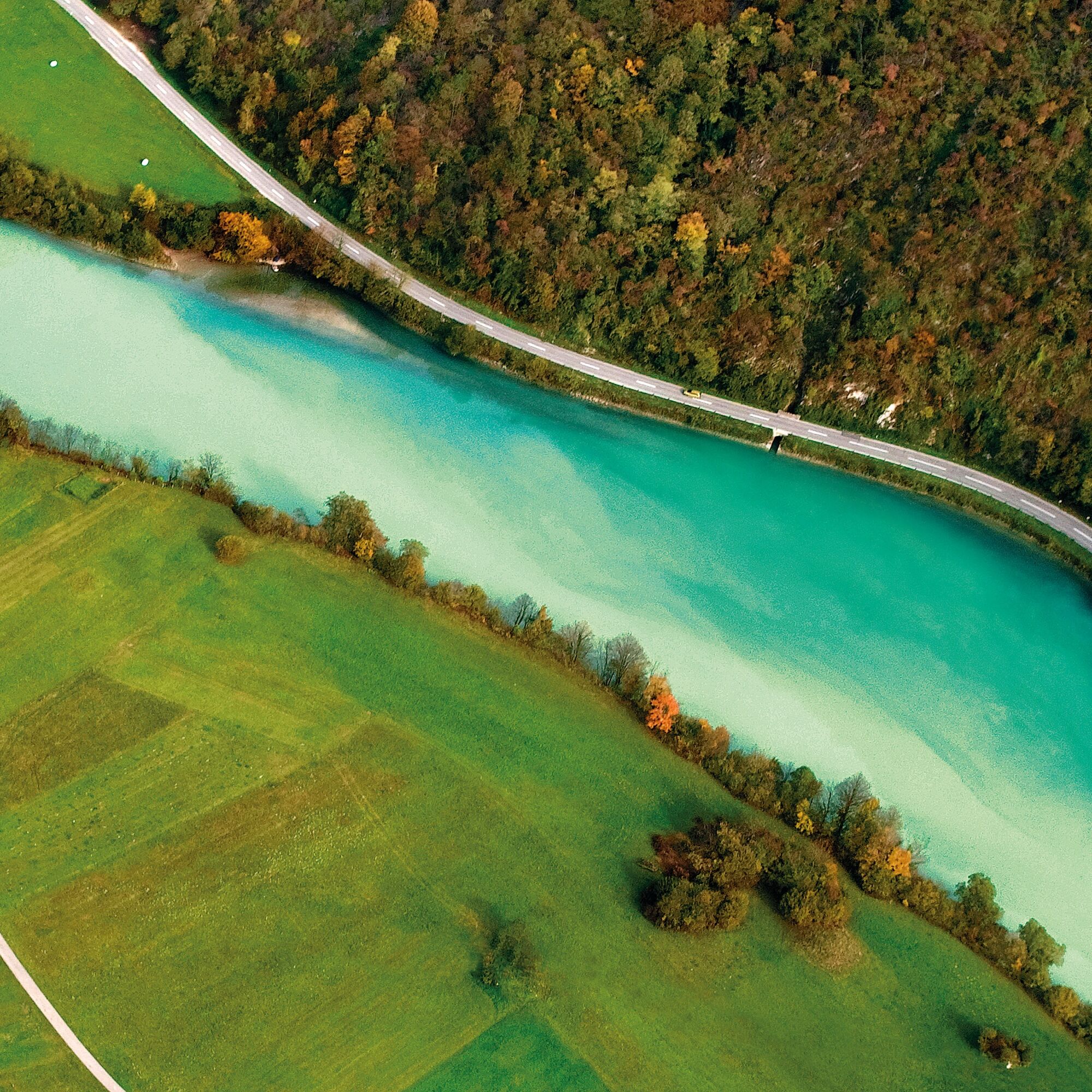
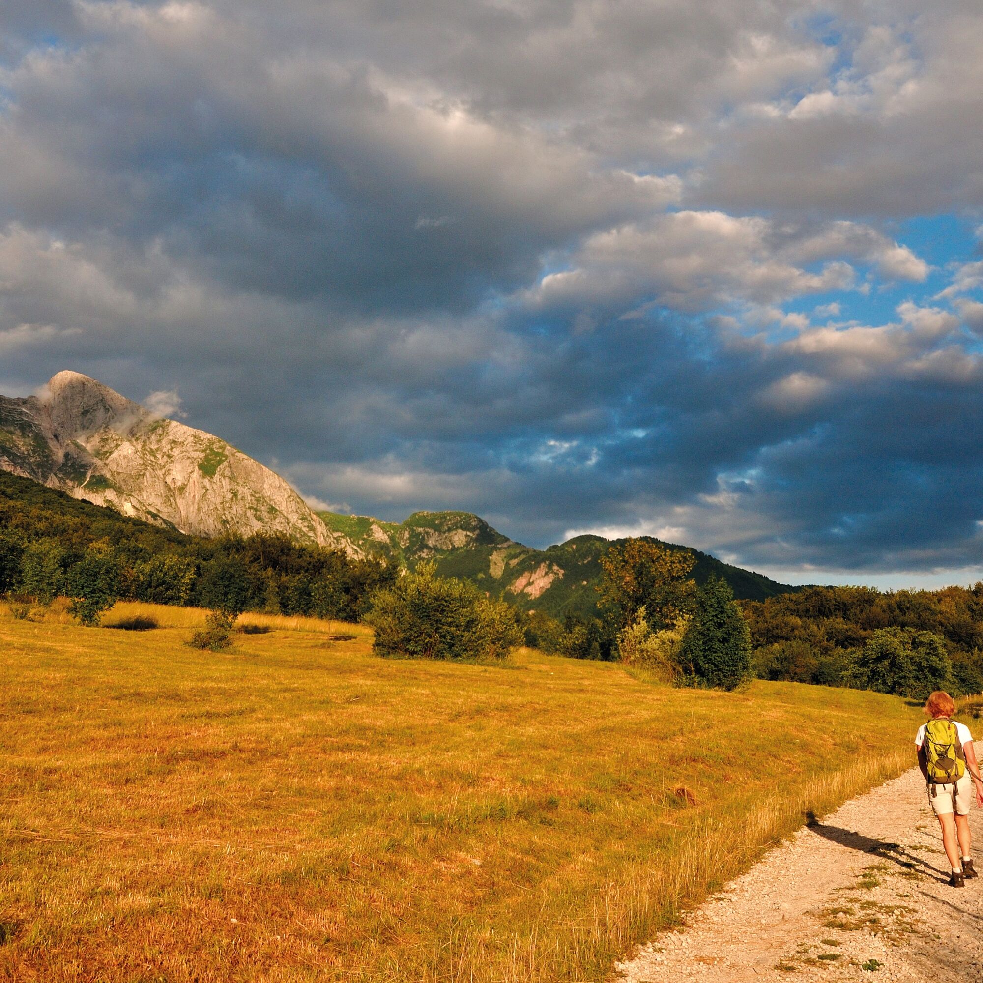
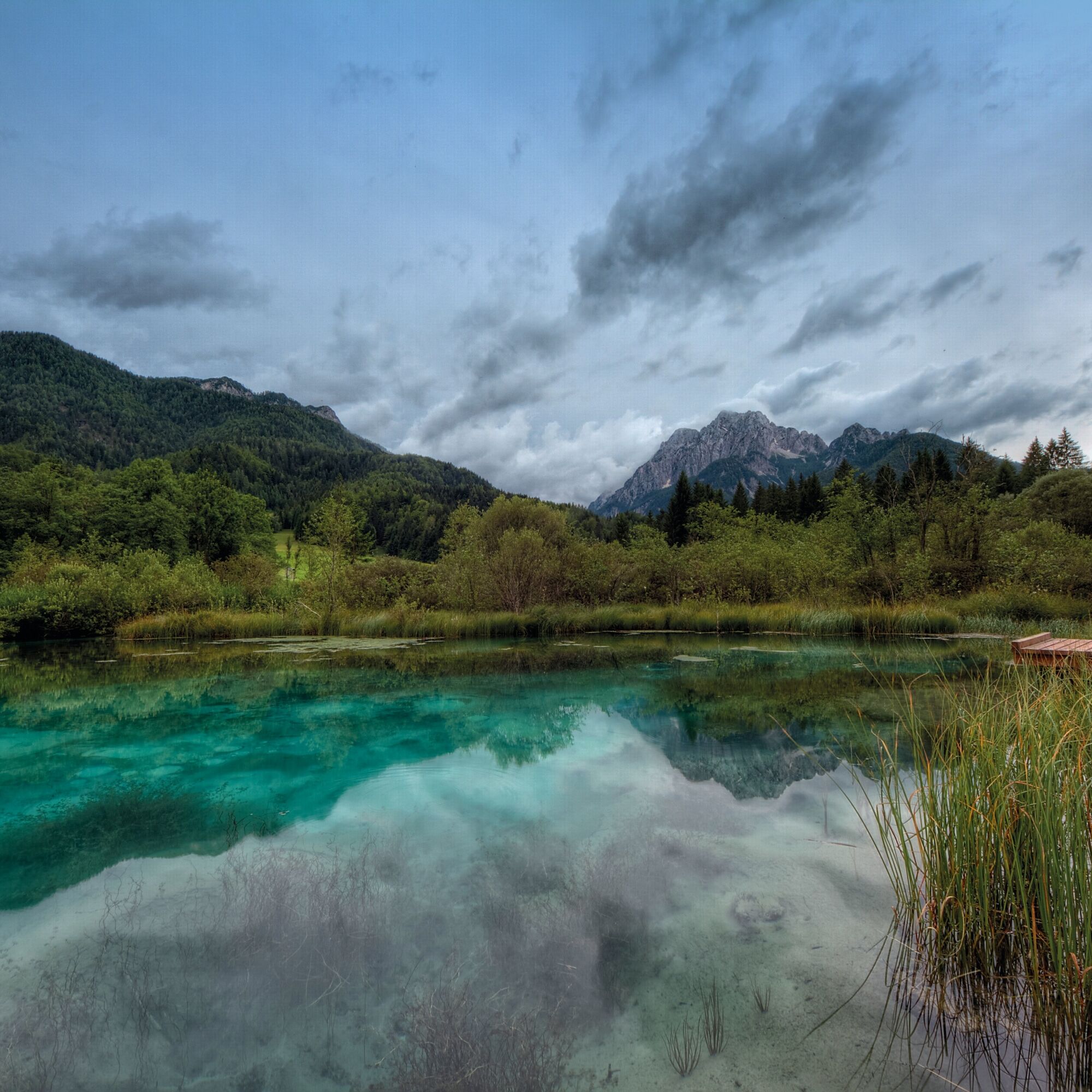
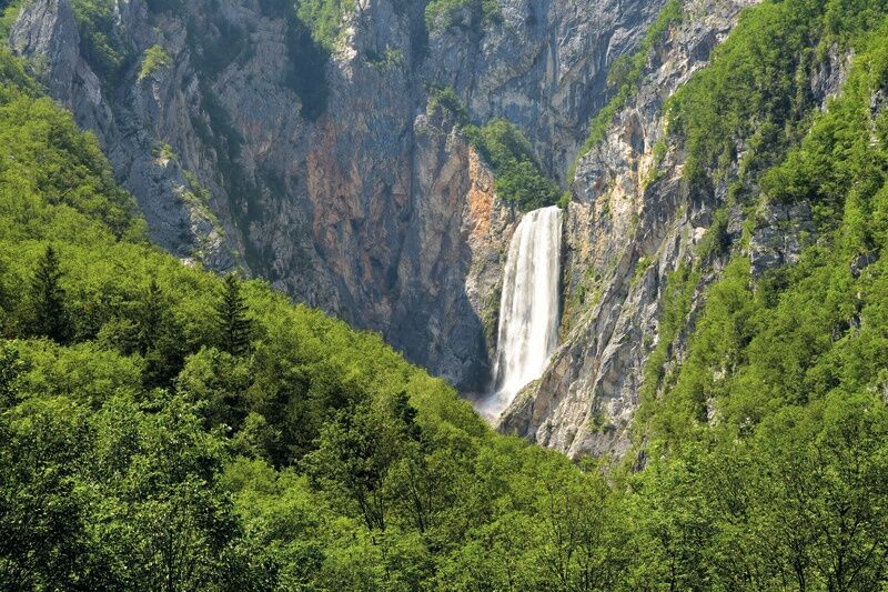
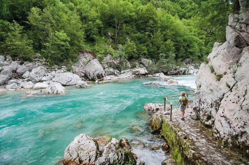
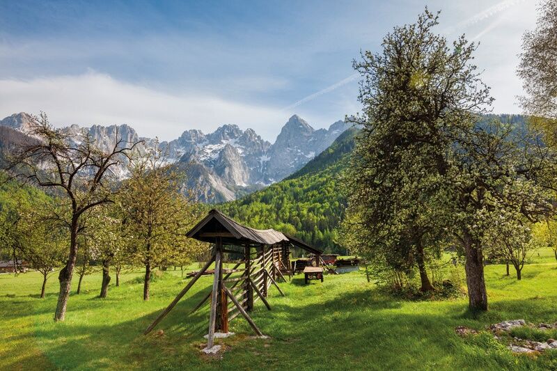
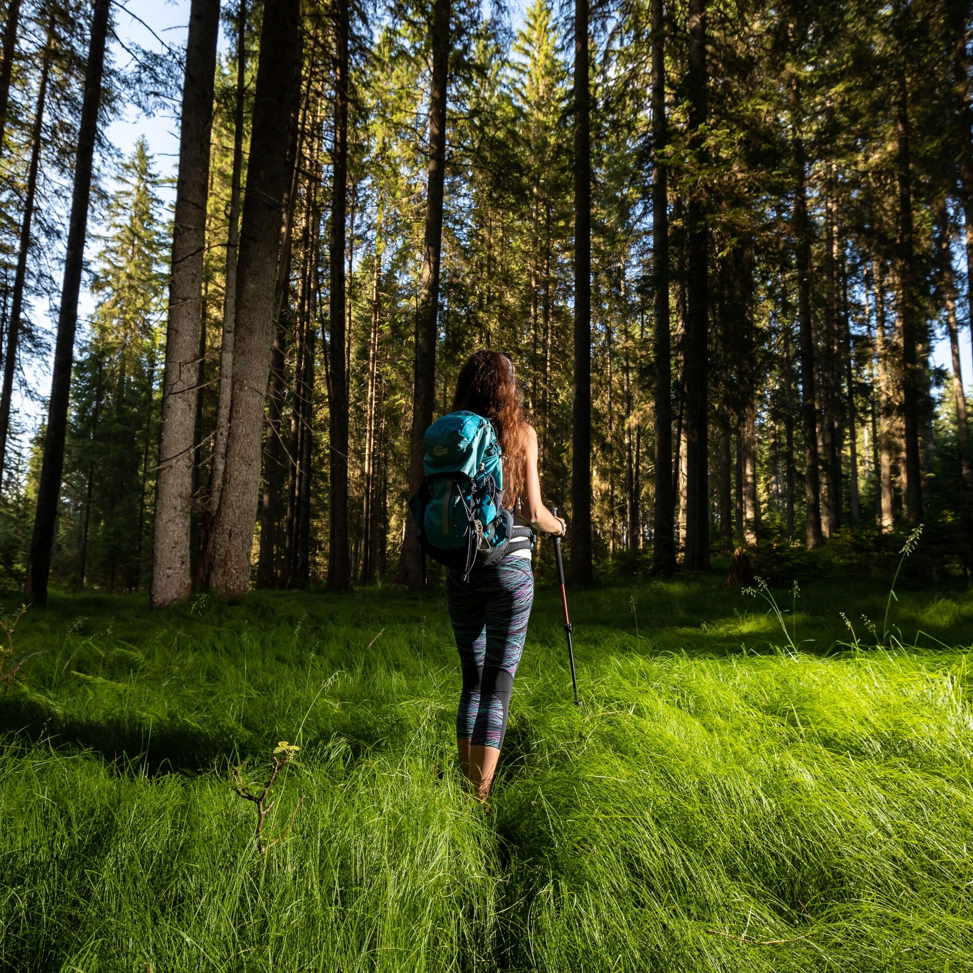
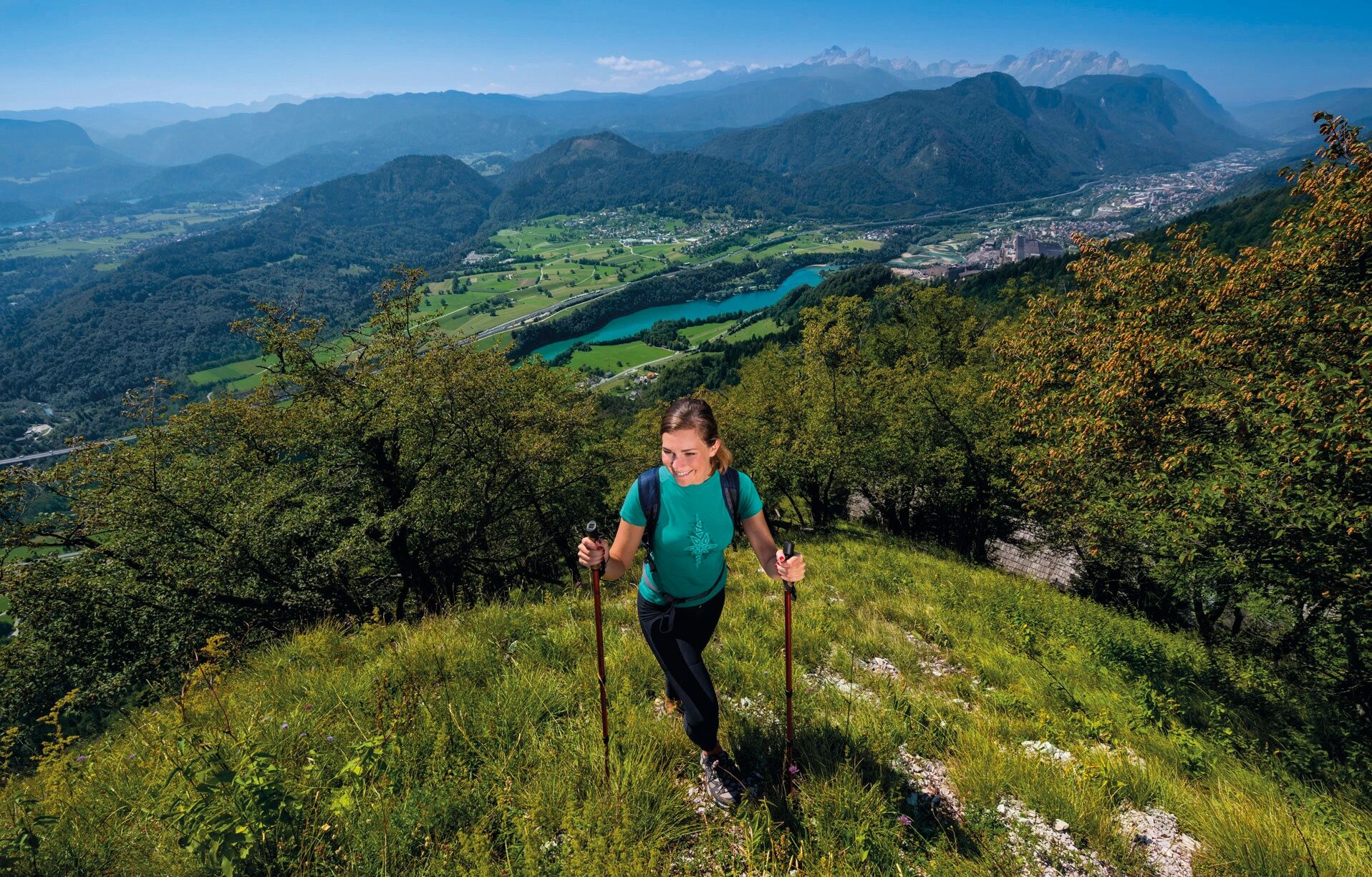
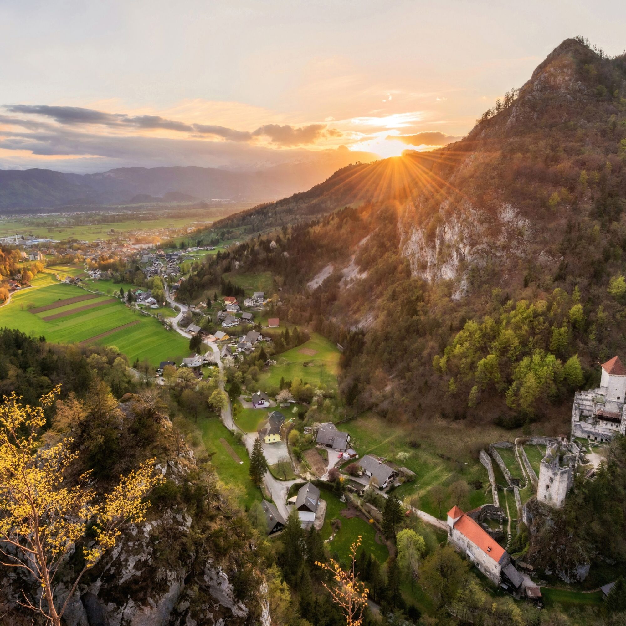
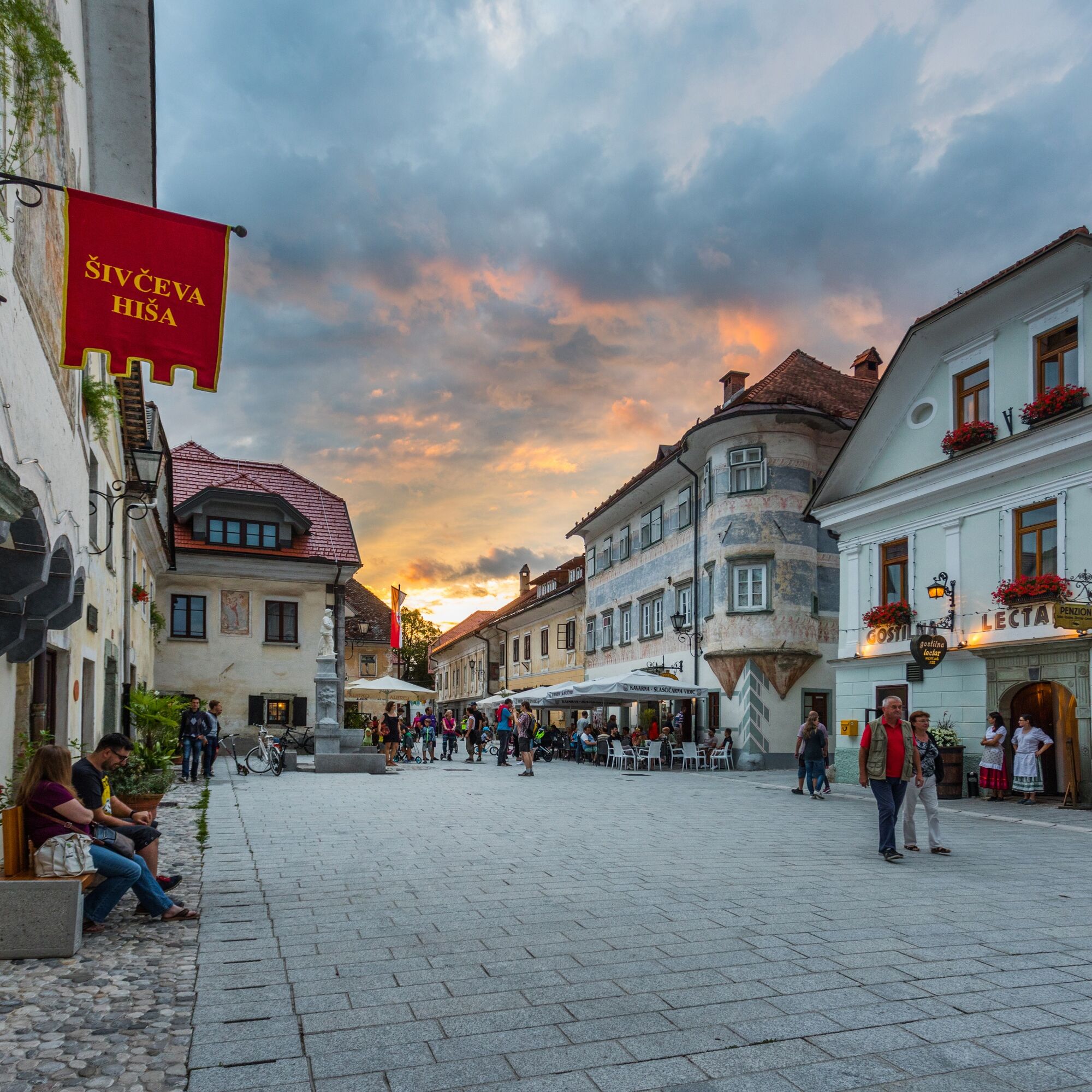
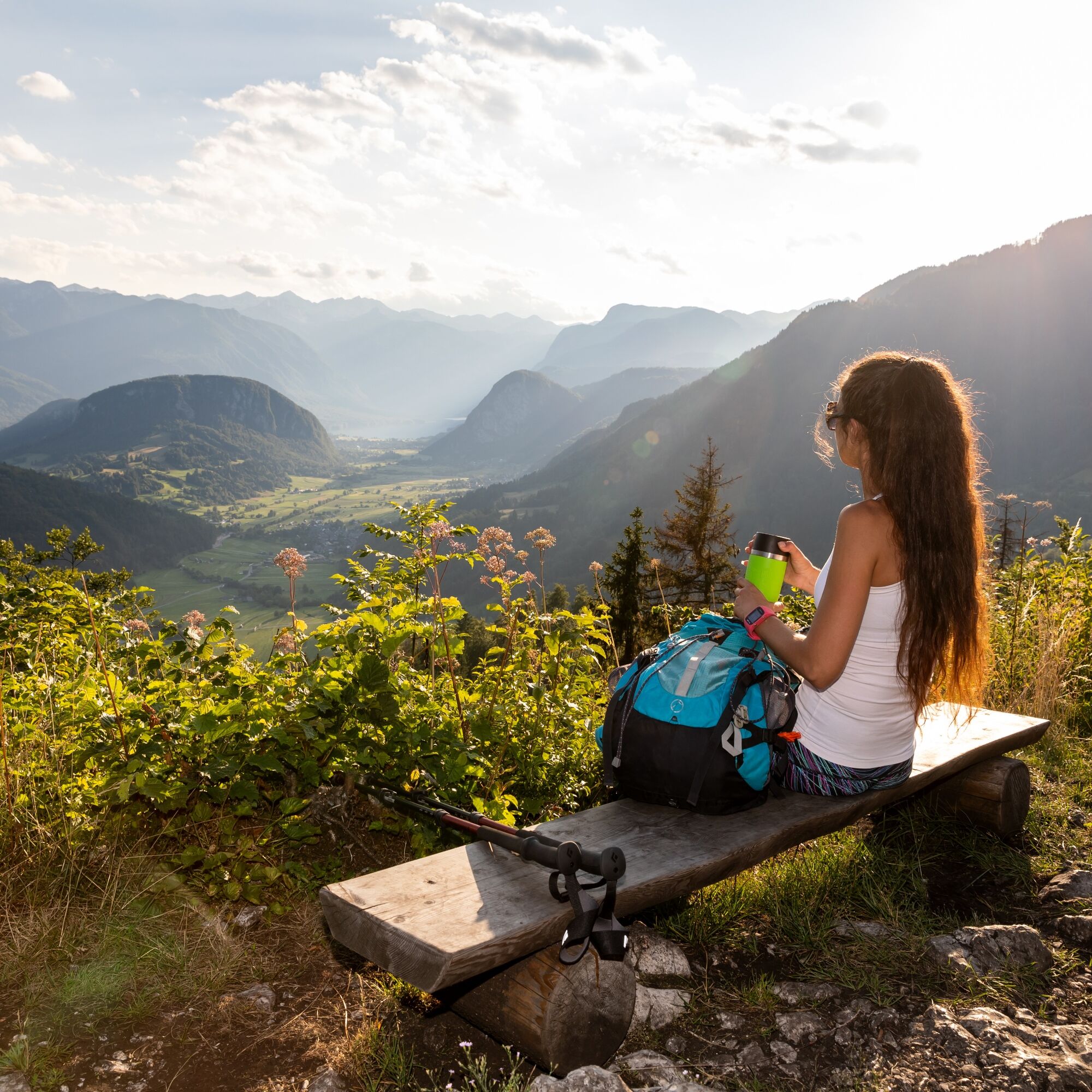
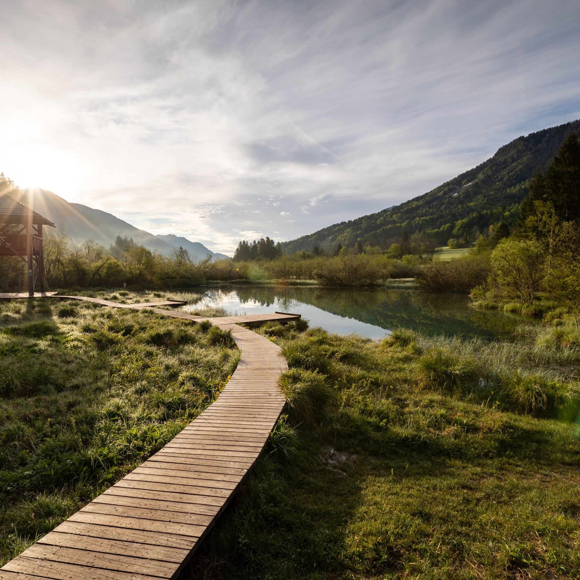
The circular long-distance JULIANA TRAIL leads around the Julian Alps mountain ridge, through urban valleys and secluded plateaus, over mountain passes, along hidden paths of rural areas, through bigger touristic centres on the edge of the mountains, along the Soča, Sava, Bača and Tolminka rivers and partly across the Italian border-line area with few inhabitants. From nearly all stages and all directions the trail offers views of the Slovenian highest mountain Triglav. On our hike we will meet the ironworks history in Slovenia, see the hometowns of great Slovenian writers and poets, get to know the significance of beekeeping once and today and the significance of preservation of quality forests. On the way, we will drink the crystal-clear spring water, feel the throb of bigger tourist destinations, meet simple people, living on solitary farms and cheese-makers, producing amazing cheese, and we will explore the places that were strongly affected by the First World War – but above everything, we will always feel and admire the life and meaning of Triglav National Park.

Stage 1: Kranjska Gora–Mojstrana
Stage 2: Mojstrana–Jesenice
Stage 3: Jesenice–Begunje
Stage 4: Begunje–Bled
Stage 5: Bled–Goreljek na Pokljuki
Stage 6: Goreljek na Pokljuki–Stara Fužina
Stage 7: Stara Fužina–Bohinjska Bistrica
Stage 8: Bohinjska Bistrica–Podbrdo
Stage 9: Podbrdo–Grahovo ob BaÄi
Stage 10: Grahovo ob BaÄi–Most na SoÄi
Stage 11: Most na SoÄi–Tolmin
Stage 12: Tolmin–Kobarid
Stage 13: Kobarid–Bovec
Stage 14: Bovec–Log pod Mangartom
Stage 15: Log pod Mangartom–Trbiž/Tarvisio
Stage 16: Trbiž/Tarvisio–Kranjska Gora
The length of the trail is 267 km, divided into 16 daily stages of 18-25 km. The overall altitude difference is 7163 m of ascents and 7173 m of descents.
Ano
Ano
Recommended good hiking shoes and clothes, with hiking poles, drinks and food in backpack.
The trail is long but on each stage there is enough water and food supplies. Almost everywhere is telephone signal. Parts of the trail on two staged are secured also with wire rope.
Dostop z avtoceste je možen na izvozih Jesenice, Bled, Bovec
avtobus do veÄine zaÄetnih toÄk etap
železnica Ljubljana- Jesenice, Jesenice - Nova Gorica
Na etap so zagotovljena večja ali manjša parkirišča
The trail runs through the valleys and over mountain passes and is generally not technically demanding. The trail is possible to walk from March to November.
Webové kamery z prohlídky
-
Krvavec - Sorica
-
Mojca 2
-
Dolenčev rut
-
Vogel - Snow Park
-
Bled - Hotel GOLF
-
Ciljna strmina Poligona
-
Monte Lussari
-
Monte Lussari
-
Monte Lussari
-
Monte Lussari
-
Monte Lussari
-
Dreiländereck
-
Vogel - Orlova Glava und Triglav
-
Sportzentrum Pokljuka - Rudno Polje
-
Monte Lussari
-
Monte Lussari
-
Monte Lussari
-
Pokljuka - Rudno polje
-
Pokljuka - Rudno polje
-
Vogel Slika
-
Sorica
-
Sorica
-
Stol
-
Kobarid
-
Triglav - Kredarica
-
Bovec
-
Stol
-
Vogel
-
Planica - Nordic Center
-
Bohinj See
-
Vogel - Brunarica
-
Vogel Snow Park
-
Vogel Bergstation
-
Kozji hrbet 1
-
Tourist farm Široko webcam Most na Soči
-
Log pod Mangartom
-
Log pod Mangartom - Encijan
-
Kobarid
-
Panorama.Berg.Restaurant Drei.Länder.Eck

Oblíbené prohlídky v okolí
-
4.6
Roundthelake
světloTuristika 11.4 km -
4.9
Mostnica Gorge
středníTuristika 4.93 km -
4.5
Mostnica Gorge, Bohinj, Slovenië
středníTuristika 9.48 km -
3.8
Slap - Planinska koča na Vojah - Okrepčevalnica Slap Voje - Stara Fužina
středníTuristika 16.8 km -
4.6
Ribčev Laz - Sv. Janez Krstnik - Planinska koča na Vojah - Koča pri slapu Mostnice
středníTuristika 15.0 km -
5.0
Rond het meer van Bohinj
světloTuristika 14.4 km -
5.0
Blegoš
středníTuristika 4.67 km -
5.0
JULIANA TRAIL: stage 7 Stara Fužina - Bohinjska Bistrica
středníTuristika 11.4 km -
4.0
Waterfall Savica
světloTuristika 8.76 km -
5.0
Rudno polje - Zajamniki - Uskovnica
Turistika 14.6 km

Pěší turistika a stopování


Nenechte si ujít nabídky a inspiraci pro vaši příští dovolenou
Vaše e-mailová adresa byl přidán do poštovního seznamu.





