


The path of the Agane and edible herbs
Úroveň obtížnosti: T2
This route is part of a trio of trails managed by the Pro Loco of Subit, each dedicated to a different Friulian mythological figure and a different group of plants, identified through their use. In this...
This route is part of a trio of trails managed by the Pro Loco of Subit, each dedicated to a different Friulian mythological figure and a different group of plants, identified through their use. In this case, we are on the trail dedicated to the figure of the Agana, a female being linked to the aquatic world, and to edible herbs.

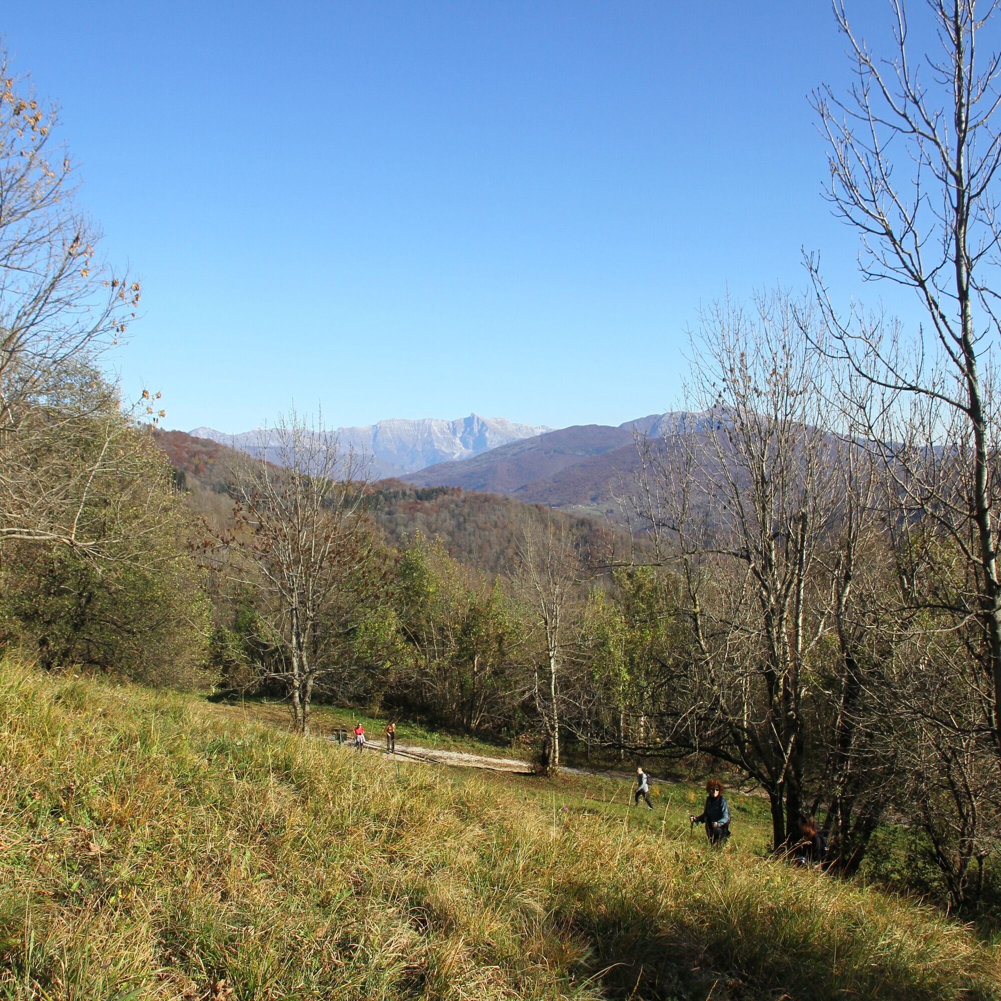
The route is very well signposted and is followed in a counterclockwise direction.
Ano
Hiking boots and outdoor clothing.
It is recommended to collect the herbs only in the company of expert botanists.
From Attimis, follow the signs for the Subit hamlet.
The TPL FVG line 280 Udine - Prossenicco allows you to reach the route directly from Udine. Intermediate stops in numerous municipal capitals, including Faedis and Attimis.
The most suitable parking lot is near the church of Subit.
T2
Nothing to report
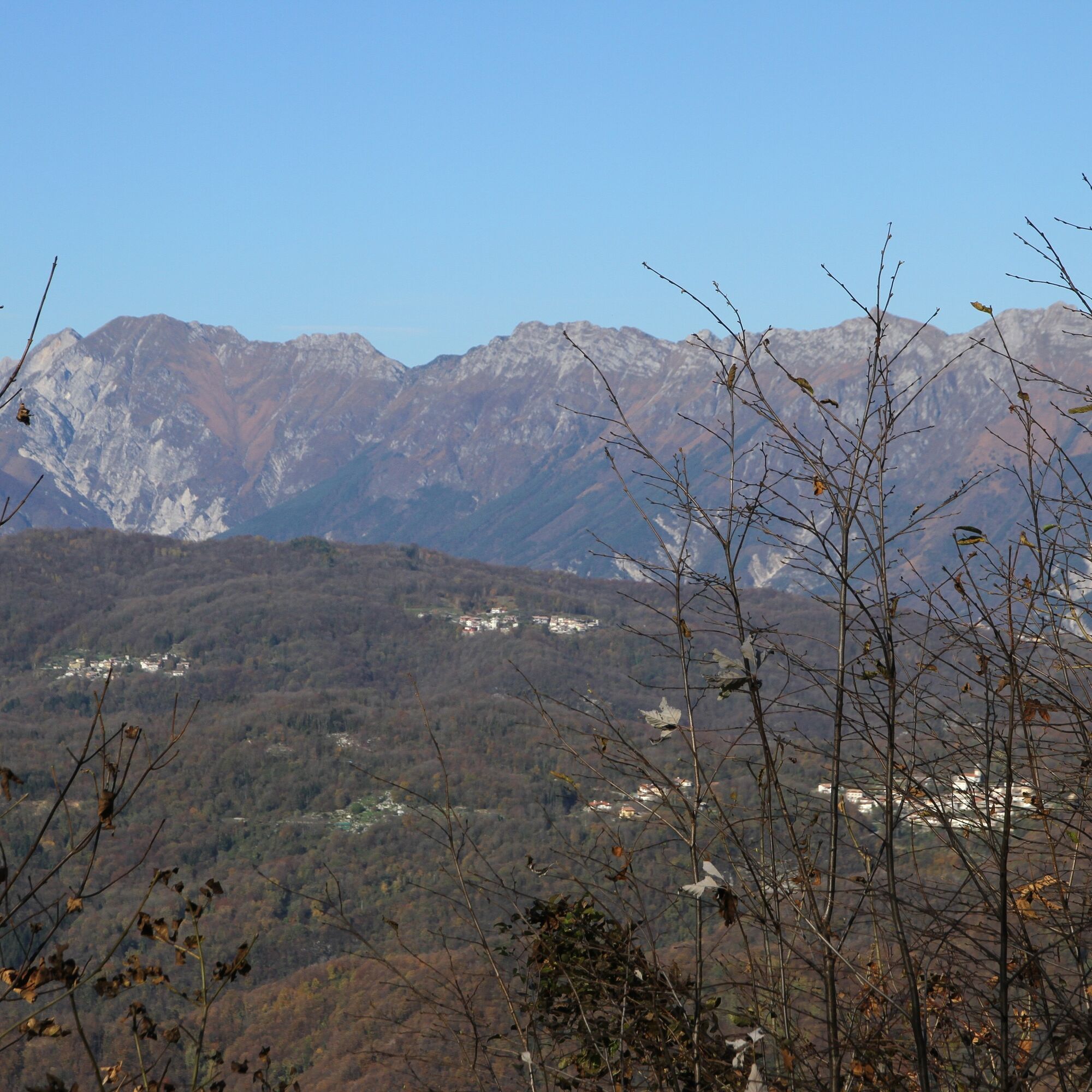
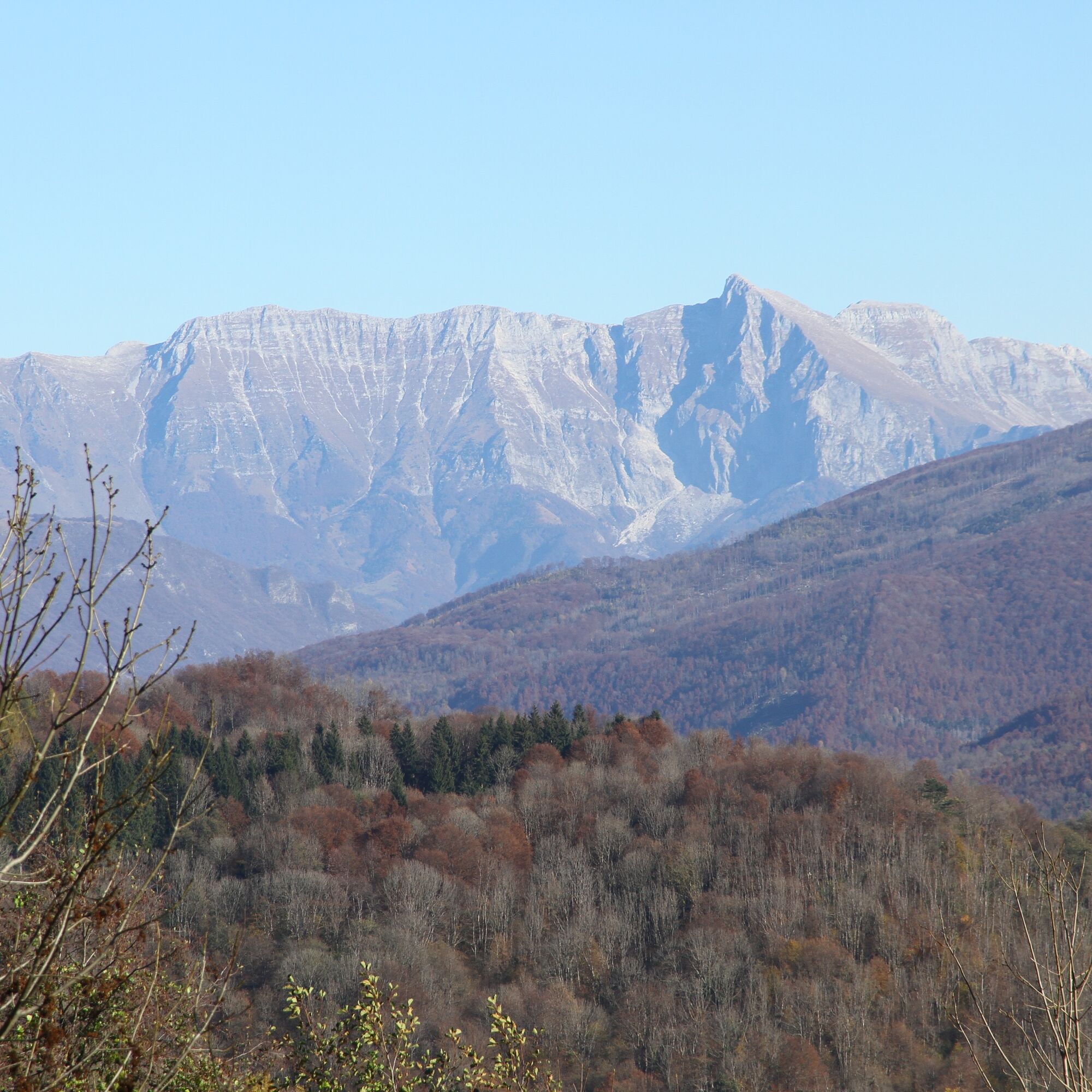
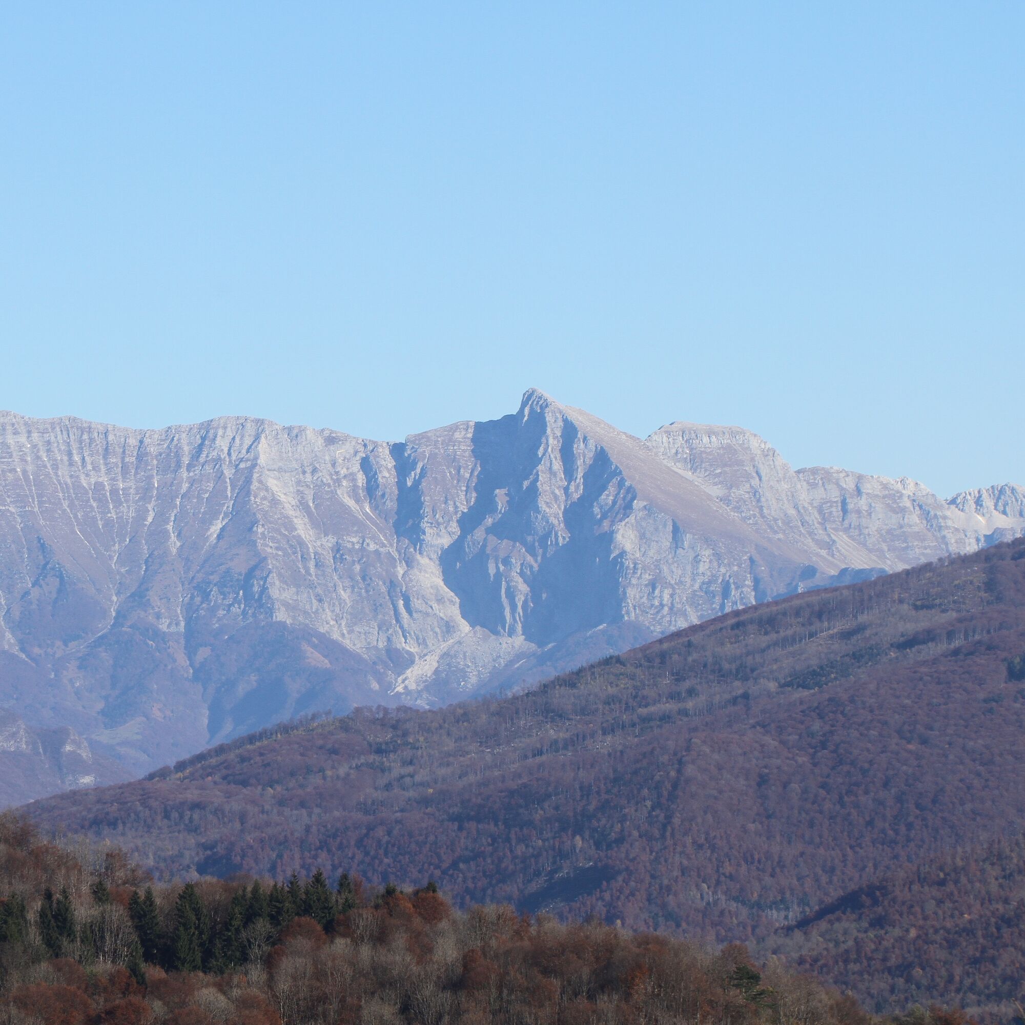
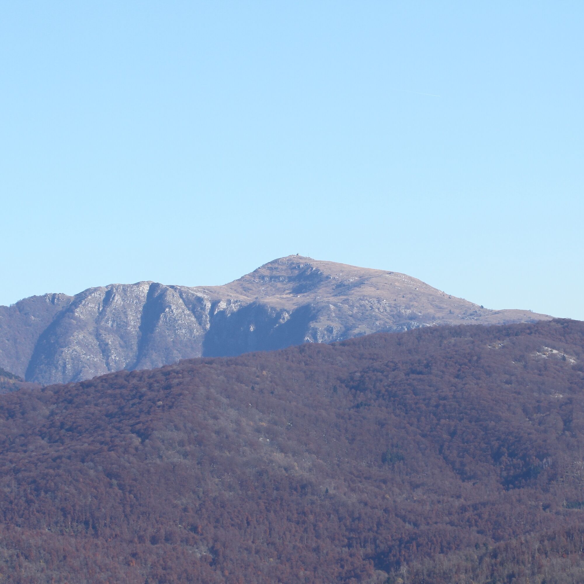
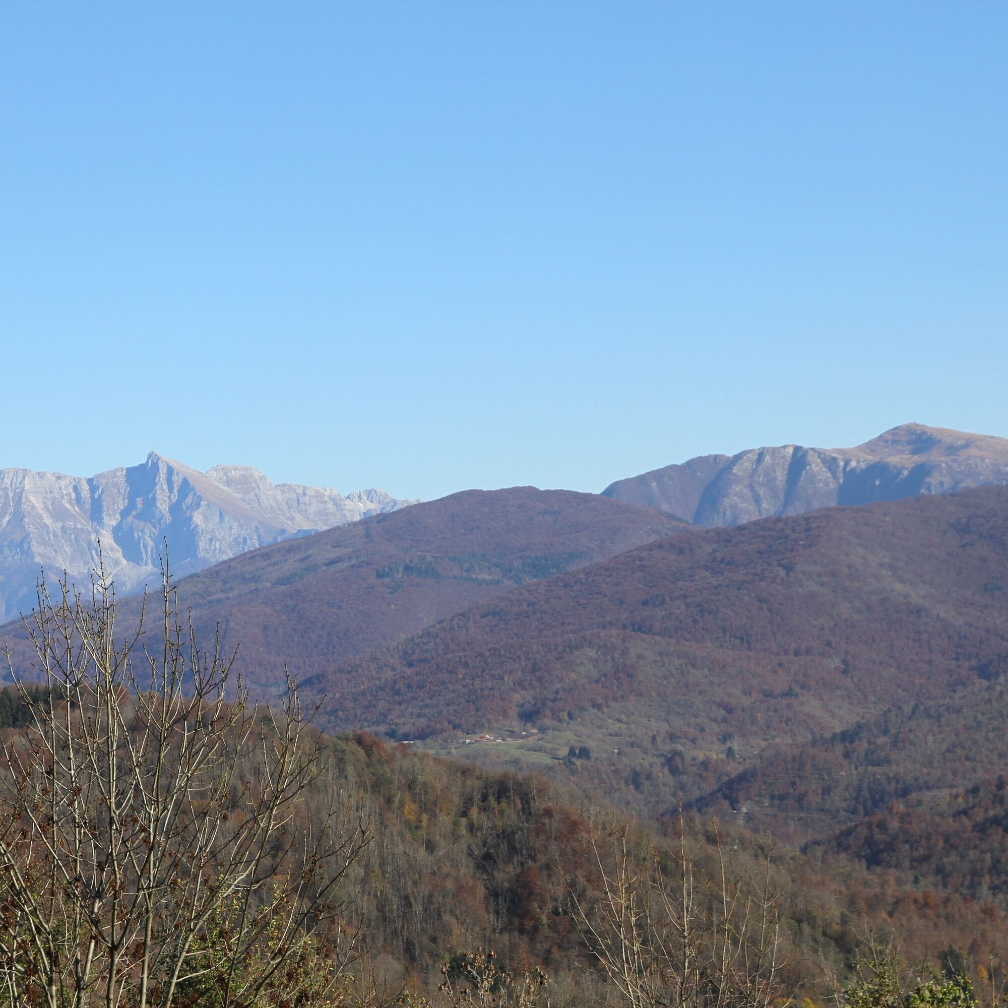
Prefer clear autumn days.
Oblíbené prohlídky v okolí
-
5.0
FVG1 Cyklostezka Alpe Adria (C100)
středníCyklistika na velkou vzdálenost 179.3 km -
4.8
Tarvisio - Gorizia: z hor na vinice (CX01)
středníCyklistika na velkou vzdálenost 155.8 km -
5.0
Monte Stella, mezi malými vesnicemi a širokými výhledy
světloTuristika 9.18 km -
4.0
Hora Cuarnan
světloTuristika 4.81 km -
4.0
Matajur (1642 m) from Marsin
středníTuristika 10.2 km -
5.0
Waterfalls trail in the valley of the Orvenco stream
středníTuristika 8.90 km -
5.0
Venzone - Udine (C102)
středníCyklistika na velkou vzdálenost 56.7 km -
Zajavor / Monte Zaiavor (1815 m) from the Tam na Meji / Tanamea saddle
středníTuristika 11.2 km -
5.0
Faedis castle loop
světloTuristika 3.22 km -
Zajavor / Monte Zaiavor (1815 m) from the Karnica / Carnizza saddle (1086 m)
středníTuristika 6.35 km
Pěší turistika a stopování


Nenechte si ujít nabídky a inspiraci pro vaši příští dovolenou
Vaše e-mailová adresa byl přidán do poštovního seznamu.